A shortened version of the trail over 4 days and 3 nights.
This backcountry trek is not for the first time hiker. The trail is in a remote area, and there are many opportunities to get hurt. Do your homework and make sure you are prepared. …
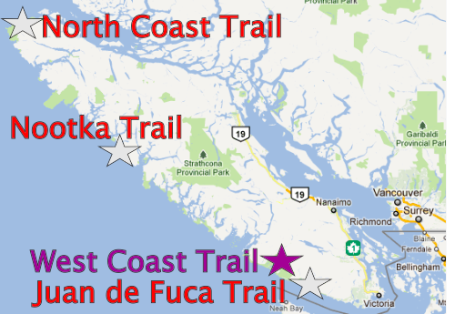
North Coast Trail is an adventure for the hard core.
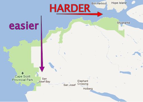
A much easier itinerary — in our opinion — is starting at Cape Scott Trail parking lot (getting there by personal vehicle or Shuttle Van) -> hiking as far into the North Coast Trail as you wish -> then backtracking to the parking lot.
IF you insist on doing the full bushwhack, watch this video. 😀
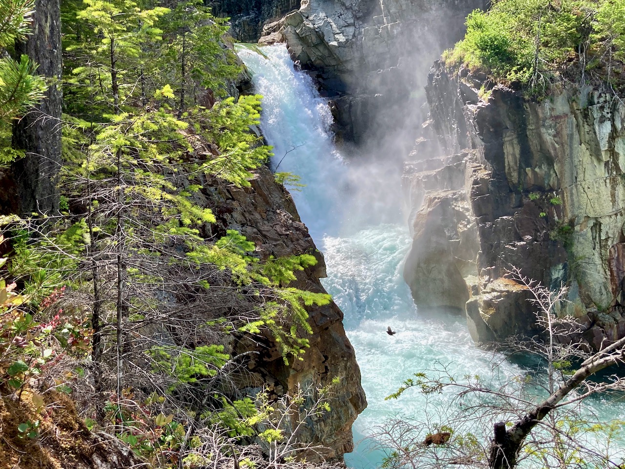
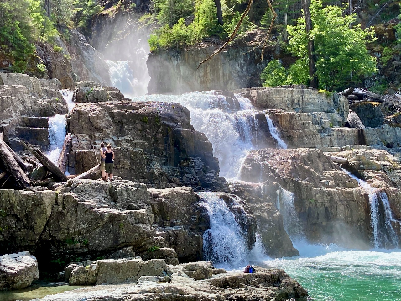
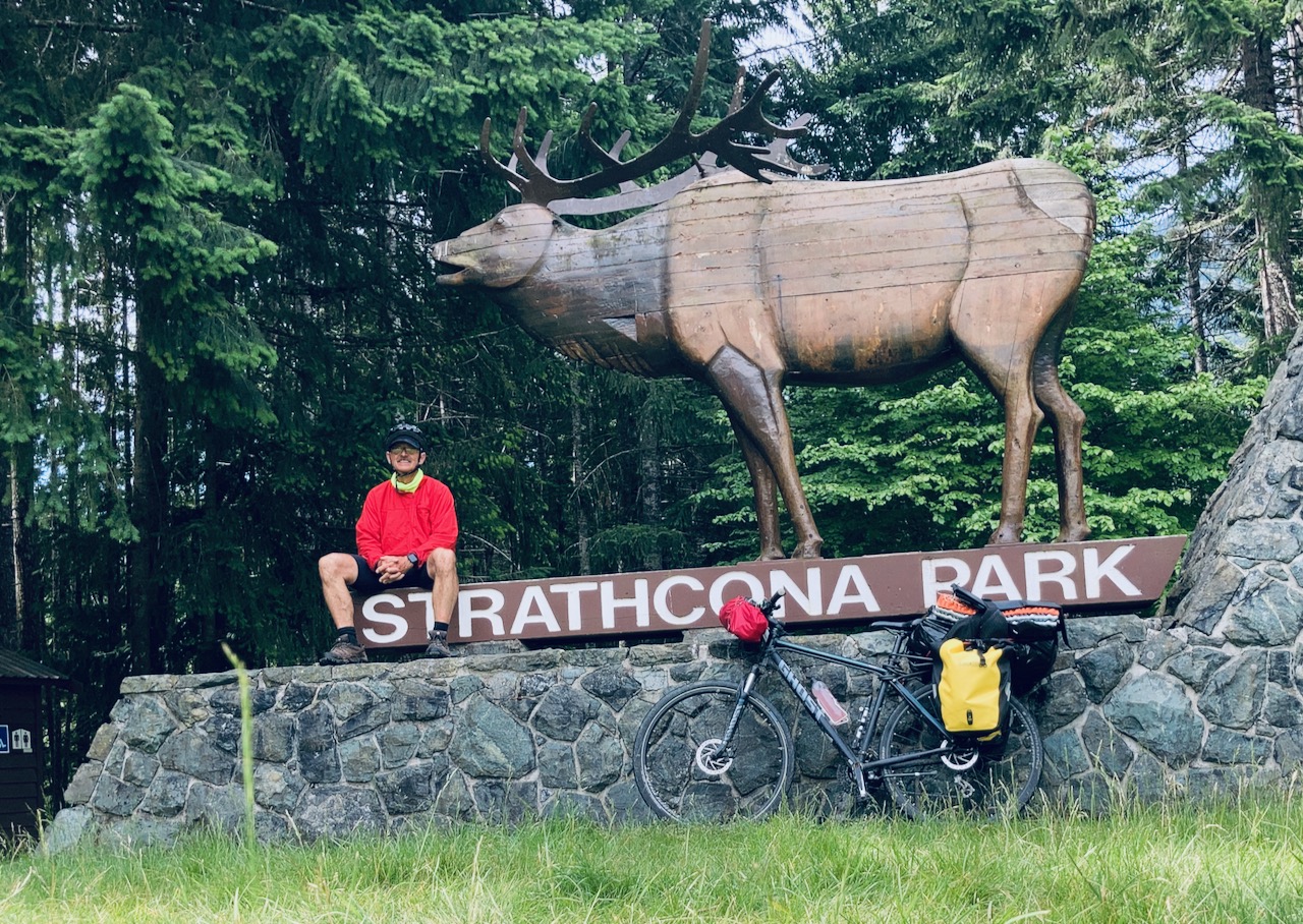
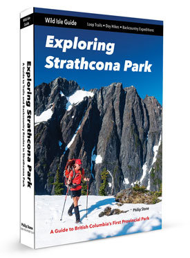
Strathcona Provincial Park, Vancouver Island, offers many challenging multi-day adventures. And many very challenging day hikes.
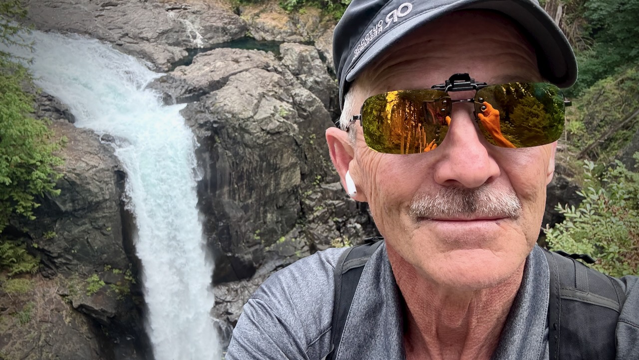
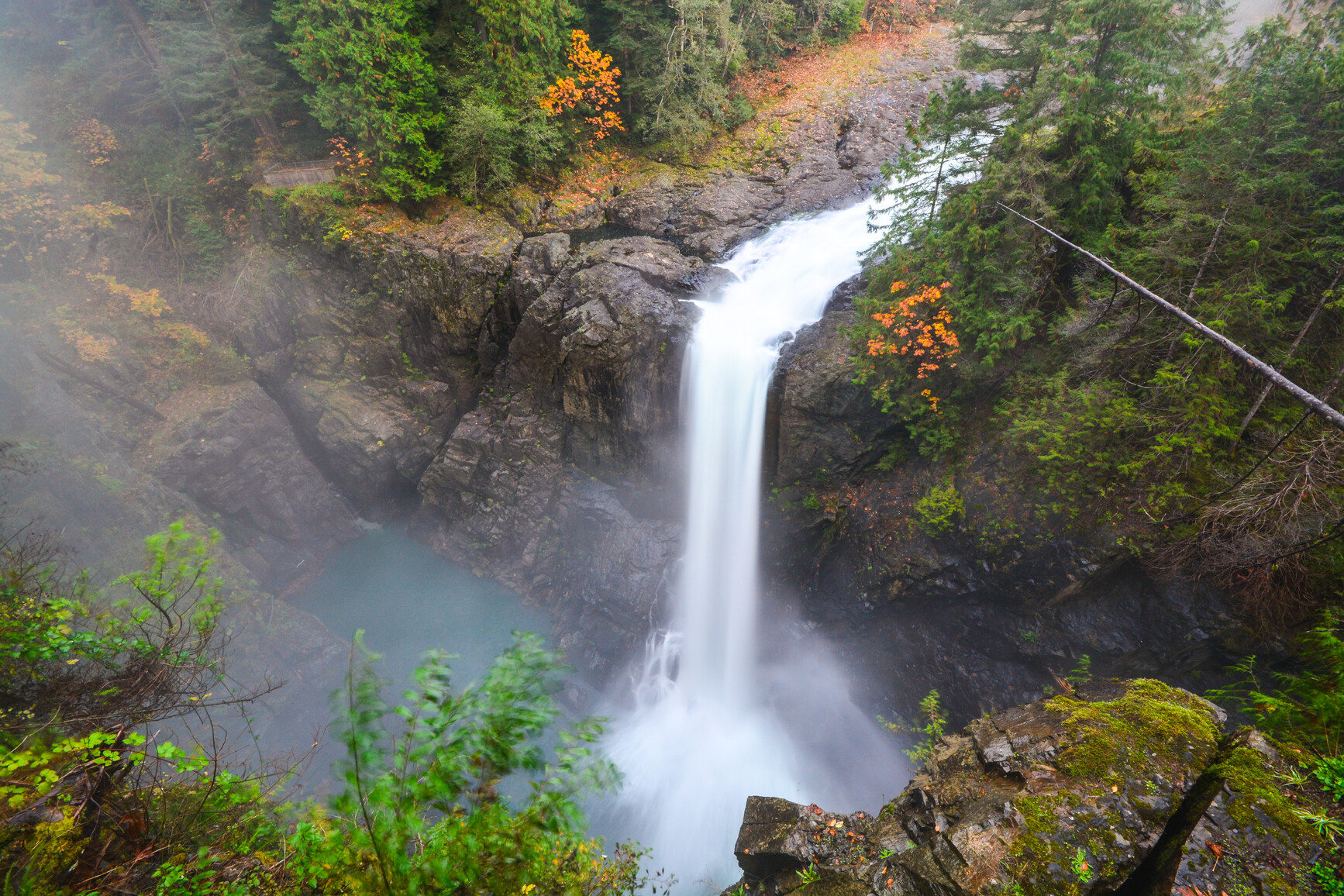
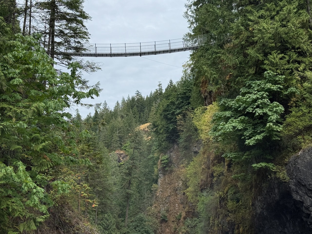
In this post, however, I focus on easy highway-accessible day hikes recommended for kids, families, everyone.
Campgrounds are often booked months in advance. I once got an overflow site at Buttle Lake marine campground. Designated for those on the water, IF space is available, you can sometimes get a spot for yourself at marine campgrounds. They are less busy.
El Camino de Costa Rica is a breathtaking 280 km / 174 mile hike from the Atlantic to the Pacific Ocean, which is no easy feat even for the most experienced hikers.
While it can be intimidating to take on this type of adventure, there are so many incredible things to see and do while trekking this route, from tropical beaches and dense trails to mountain villages and indigenous communities.
Vowed to return to the beaches on the Cape Scott Trail. One day. The best part of the North Coast Trail.
In 2025 I waited for good weather. And headed back to this paradise.
The worst part of this adventure is the 60km drive in on a gravel road. Bring a good vehicle.
Highlights for many in this remote N.W. corner of Vancouver Island is wildlife. Especially bears and the quickly evolving coastal wolves.
The trail itself is super interesting. Plenty of boardwalk.
Some of the old growth trees were cut in the past. But there’s still plenty of fascinating greenery.
First stop is fantastic San Josef Bay (3-4km from the parking lot).
stunned at the magical scenery 😀
From there, I continued on to the biggest and best beach of all ➙ Nels Bight.
There are a couple of campsites on the way with platforms.
Continue to Nels if you have the time and energy.
This was close to where I camped in 2012.
Sunset was fantastic on the west coast.
Here’s the view from my tent.
No photo editing.
Pit toilets are decent.
Be sure to lock up all your food on arrival as bear sightings are almost guaranteed. (I saw only 1 bear next morning. Unlucky. Everyone else saw more.)
Weather on awakening was far more typical. Overcast with fog.
It can be very muddy. Bring good footwear.
On the return to the parking lot, I stopped to read signboards and visit the historical sites.
From 1896-1907 approximately 100 Danish settlers attempted to establish a self-governing farming and fishing community. It was extremely difficult.
A 7-foot-high dyke built to protect these flatlands was wiped out the 1st year.
Later, the government offered incentives to all. By 1912 more than 600 people were homesteading in the Cape Scott area. By 1917 most of the settlers had left the area, leaving behind whatever they could not easily pack out, including farm tools, buildings, stoves, machinery, and vehicles.
Walking out seemed to go more quickly than walking in. That often happens to me on out and back hikes.
Always a pleasure to hike temperate rain forest.
I do hope I get back to the beaches at least once more in this lifetime. 😀
2025
2012
Surprisingly, I saw not one wolf in two days. I’d seen plenty in 2012.