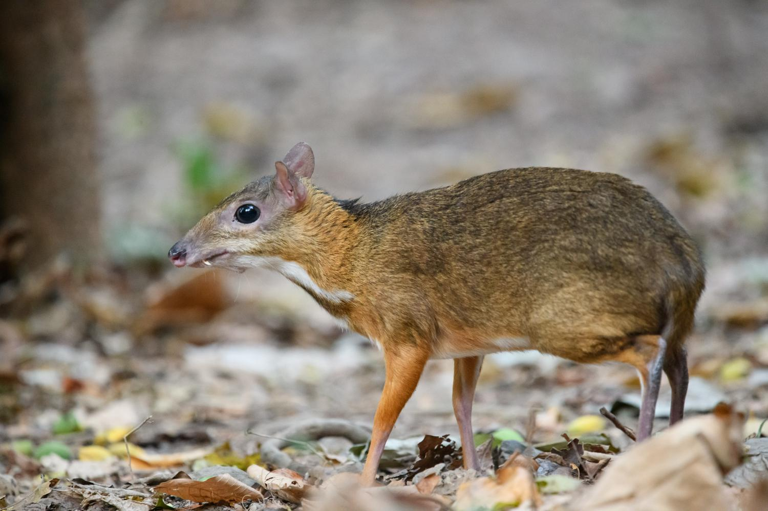
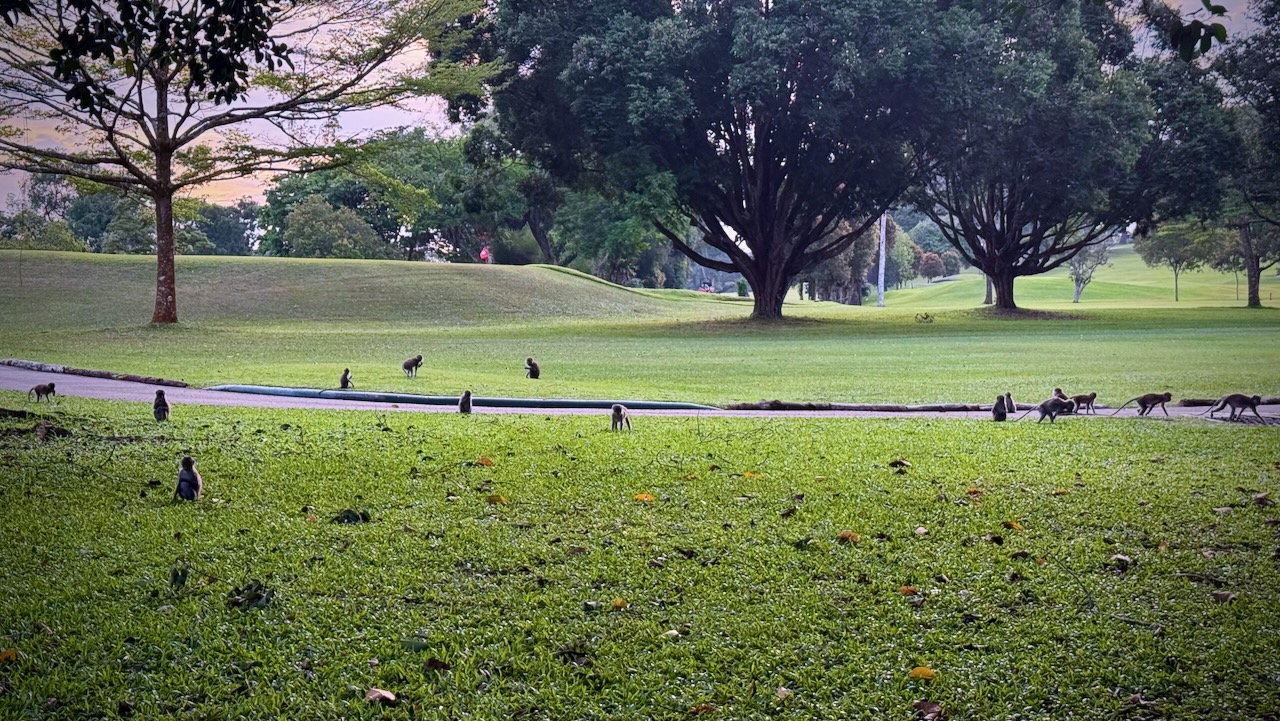
Not expecting these little guys — about 45 cm (18 inches) and 2 kg (4.4 lb) — my first thought seeing them in the foliage is that they were GIANT RATS. 😀
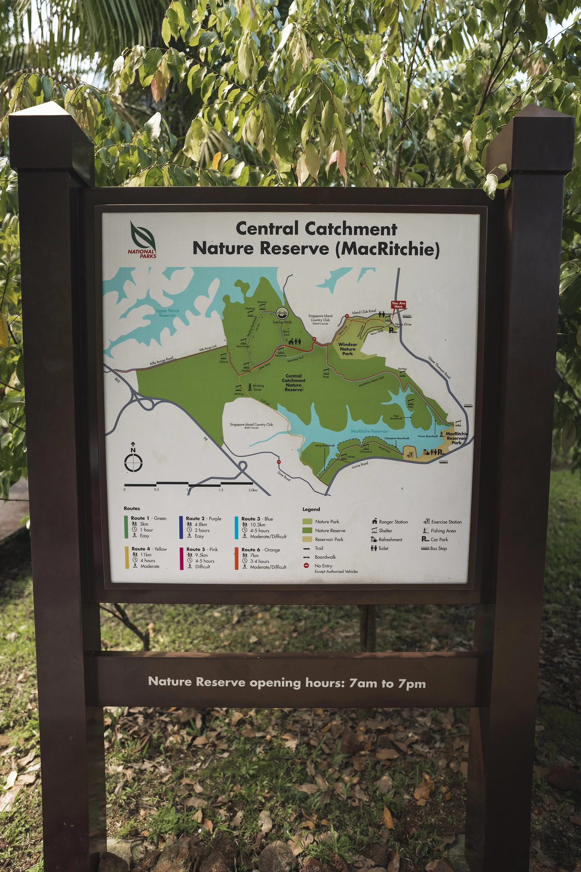
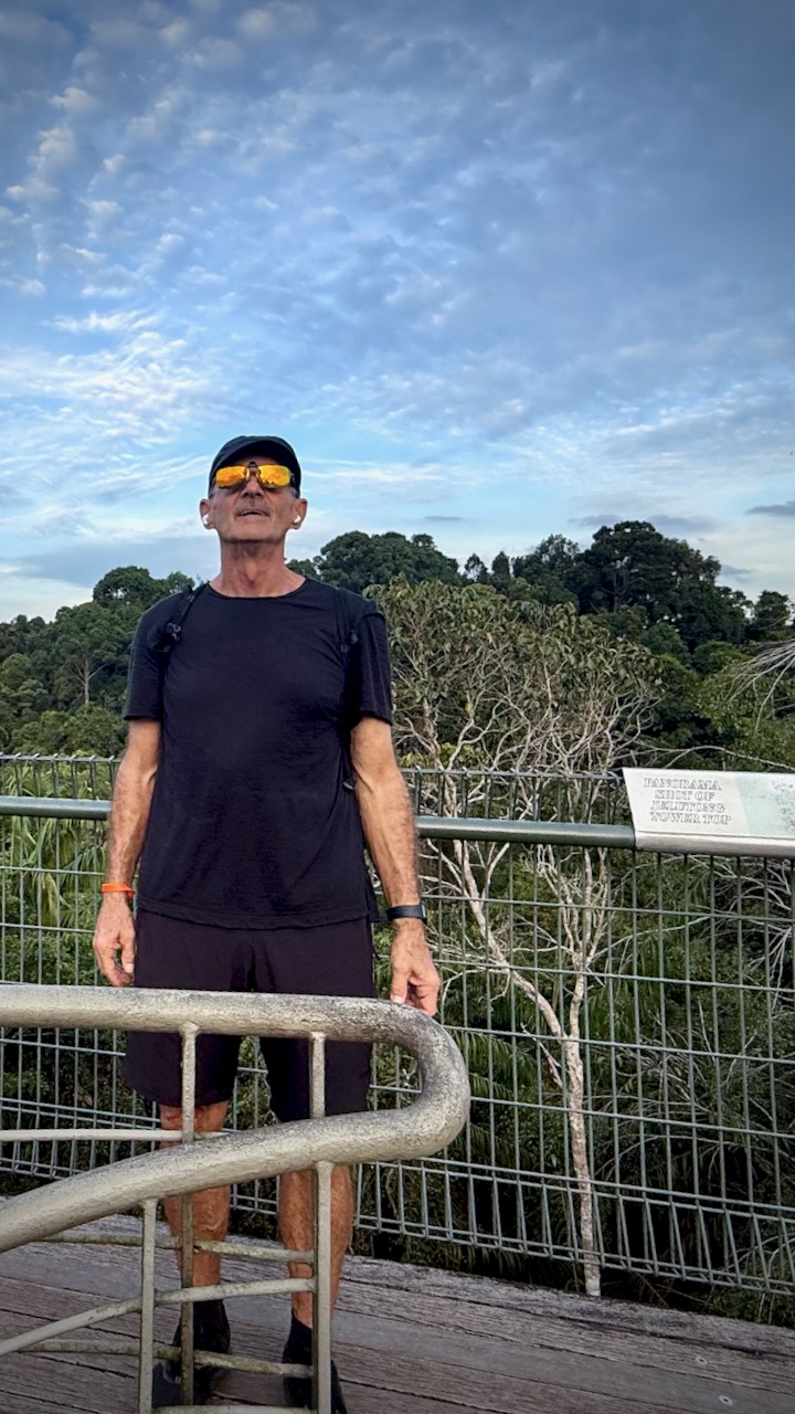
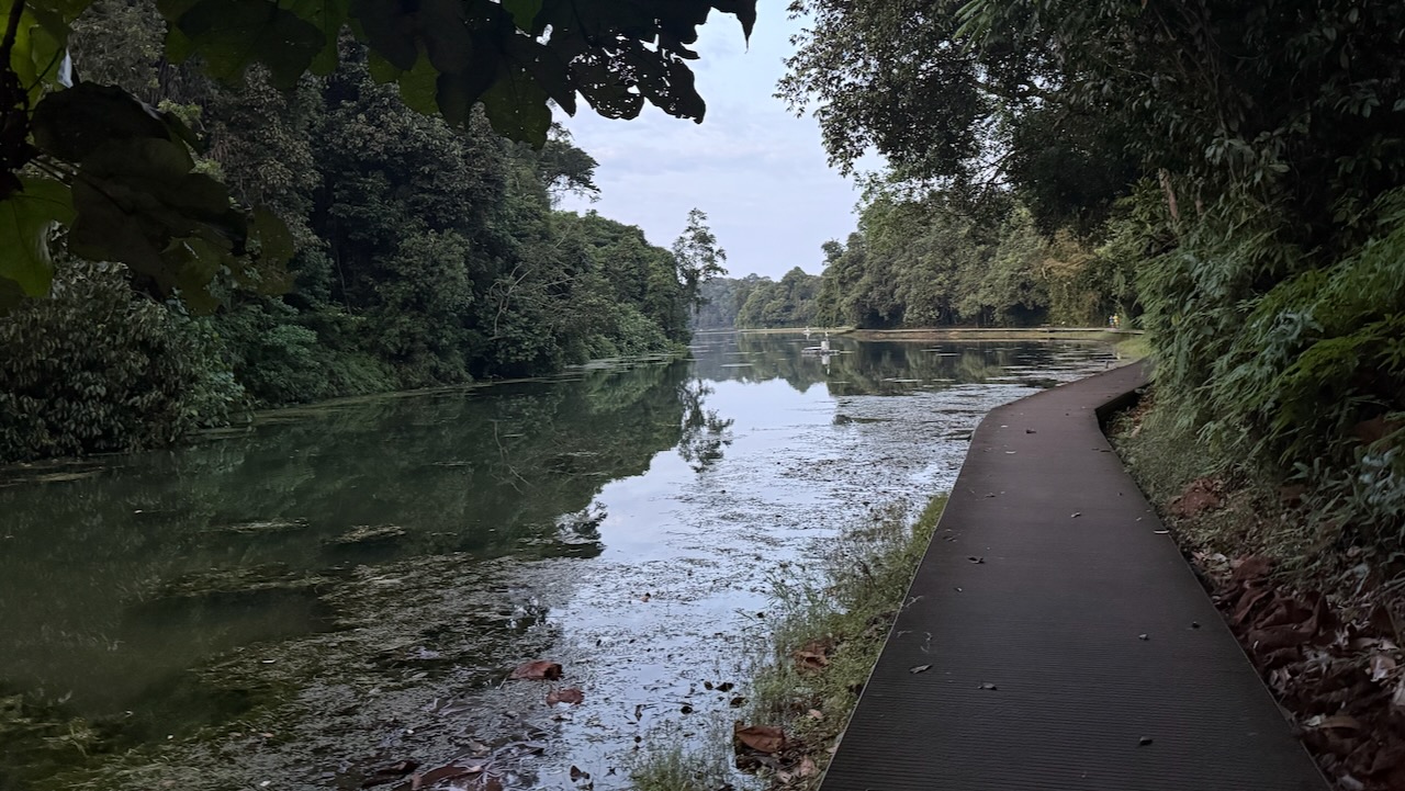
You can hike a multitude of trails at MacRitchie ➙ or go kayak / canoeing.
Vowed to return to the beaches on the Cape Scott Trail. One day. The best part of the North Coast Trail.
In 2025 I waited for good weather. And headed back to this paradise.
The worst part of this adventure is the 60km drive in on a gravel road. Bring a good vehicle.
Highlights for many in this remote N.W. corner of Vancouver Island is wildlife. Especially bears and the quickly evolving coastal wolves.
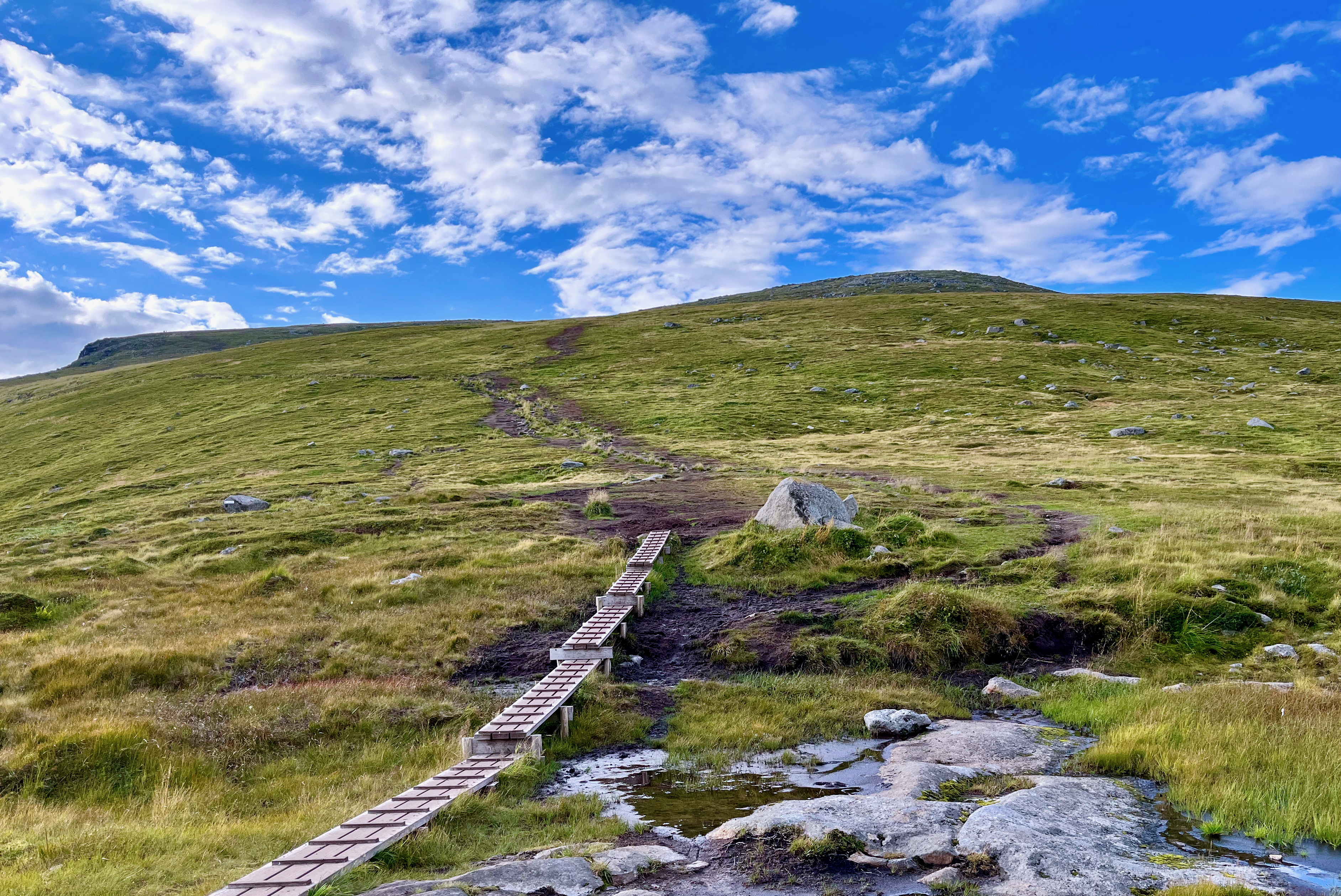
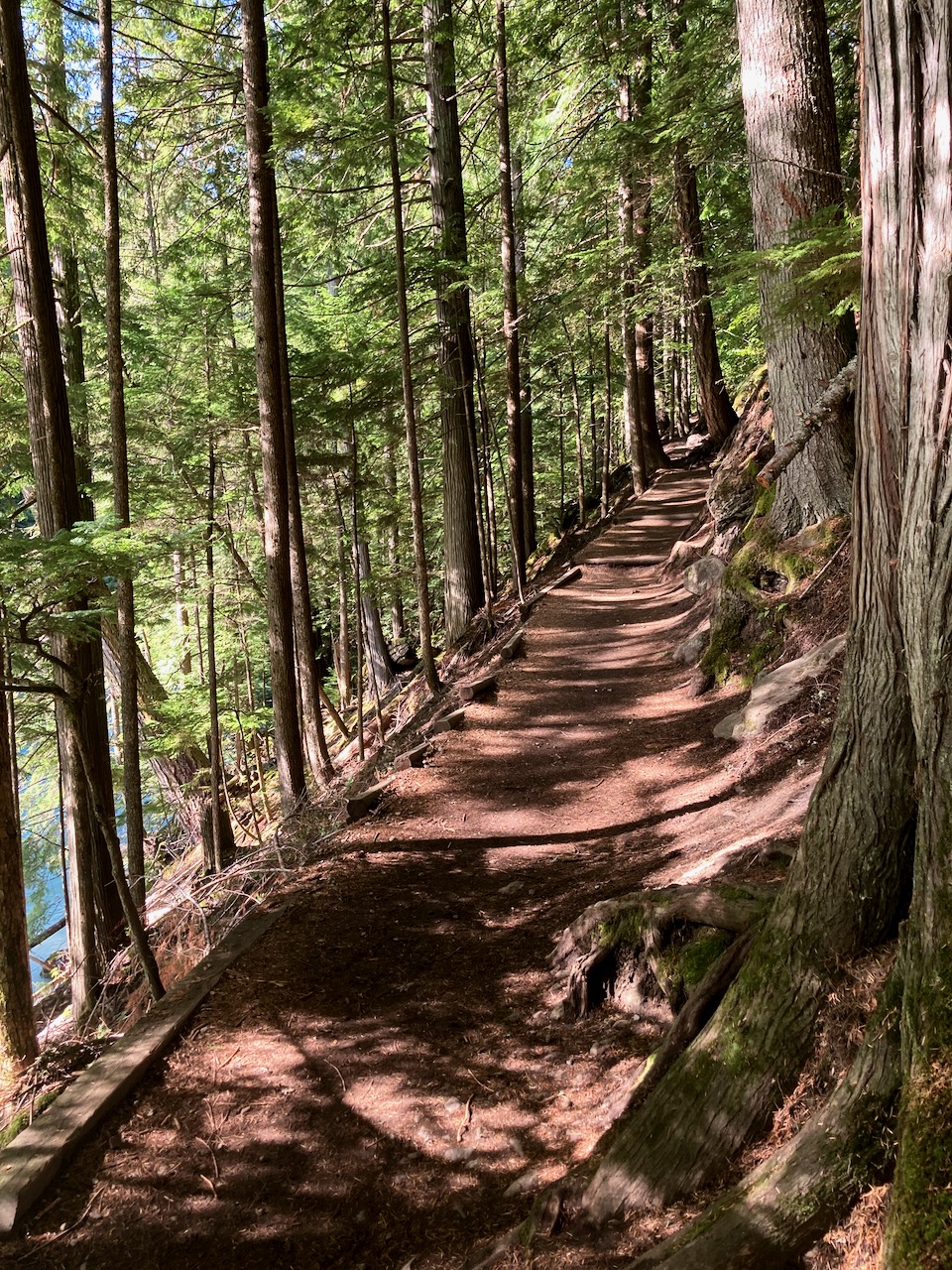
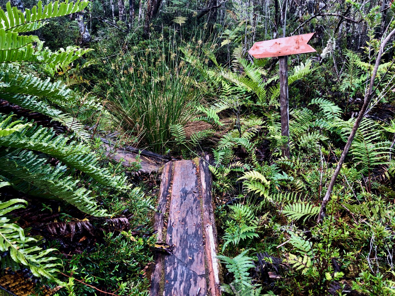
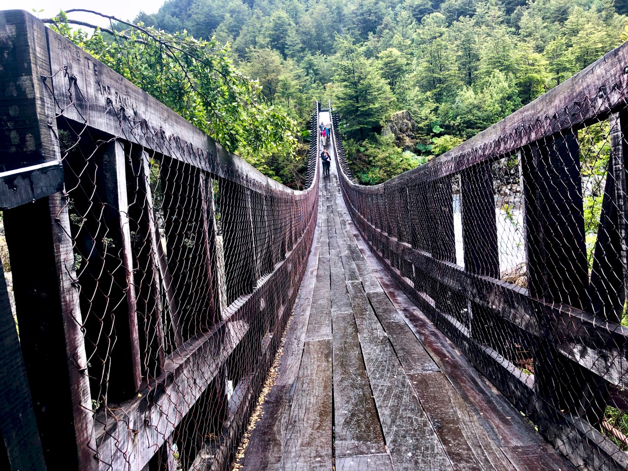
The trail itself is super interesting. Plenty of boardwalk.
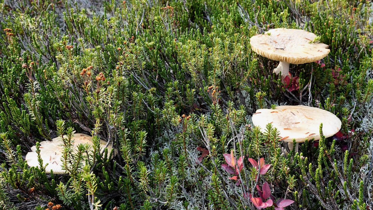
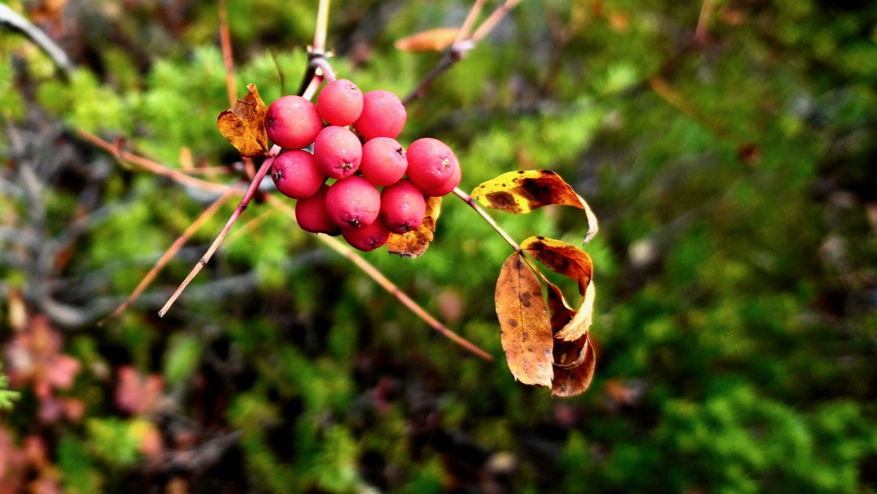
Some of the old growth trees were cut in the past. But there’s still plenty of fascinating greenery.
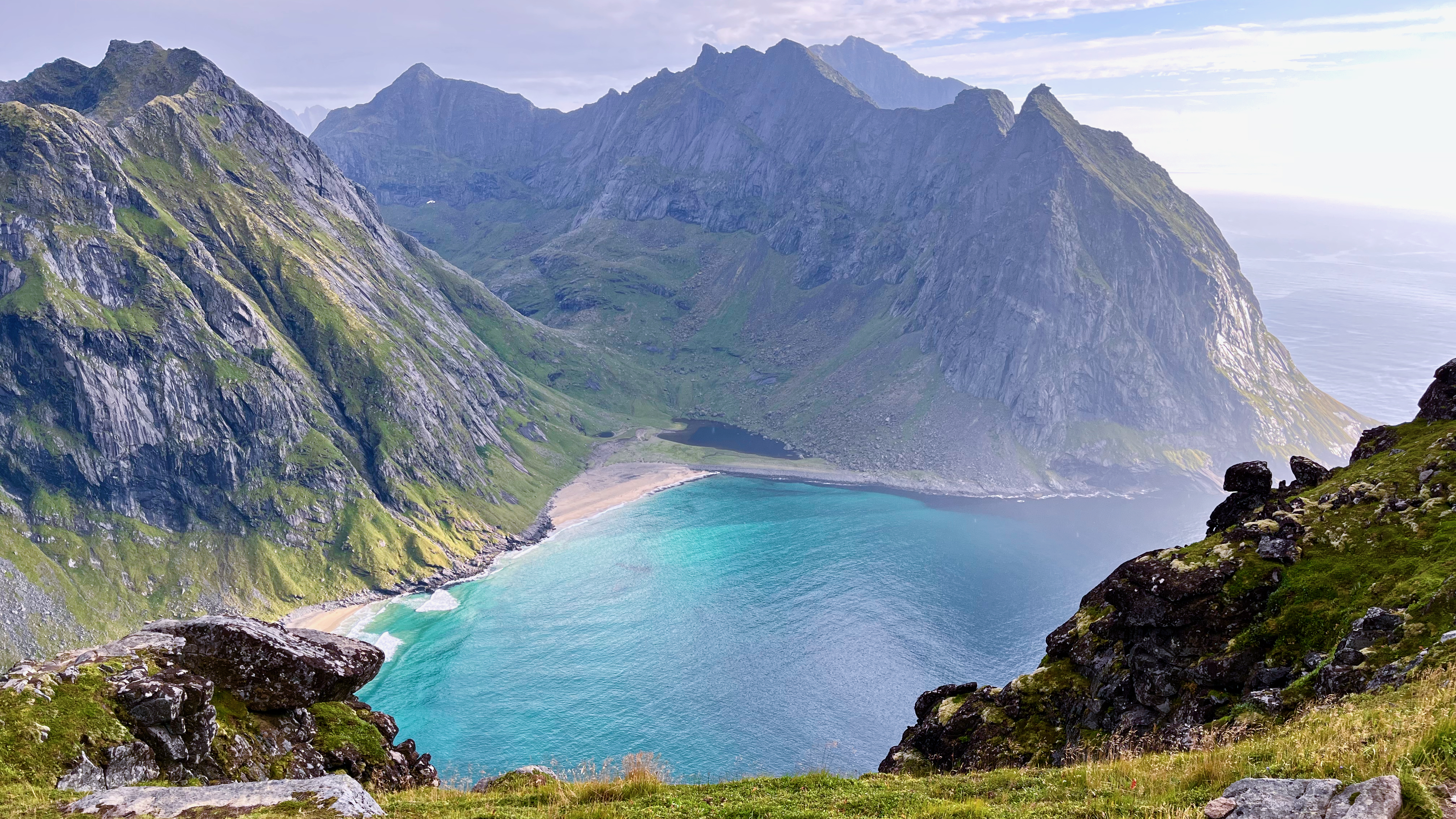
First stop is fantastic San Josef Bay (3-4km from the parking lot).
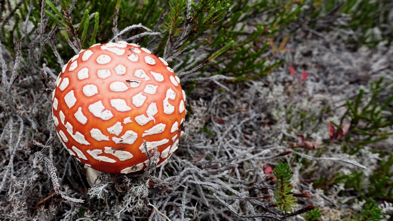
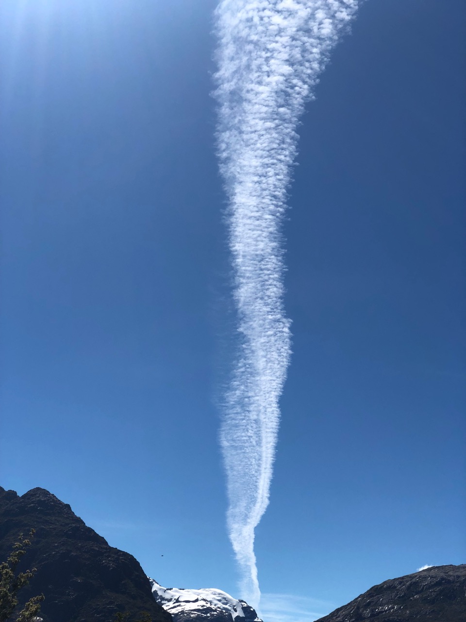
stunned at the magical scenery 😀
From there, I continued on to the biggest and best beach of all ➙ Nels Bight.
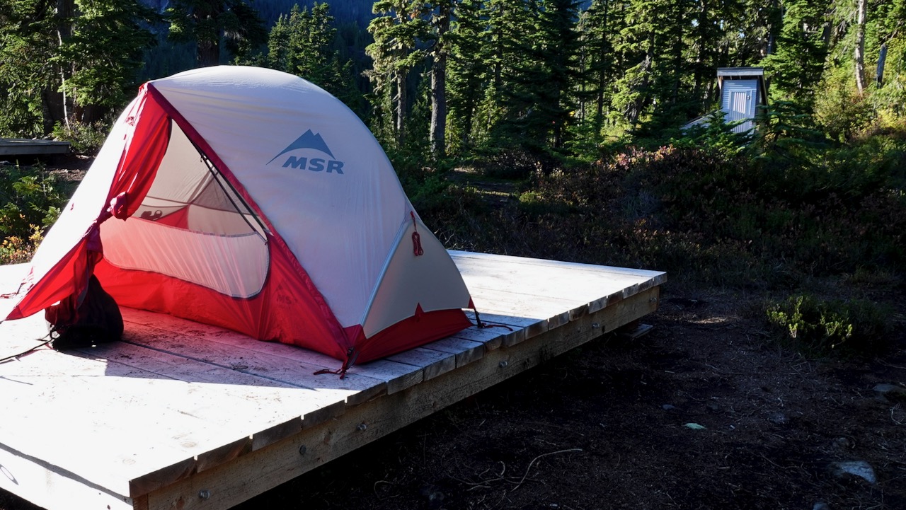
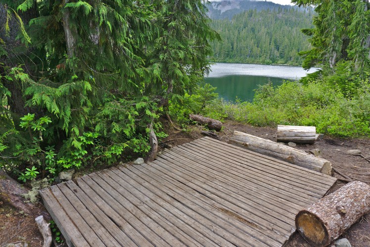
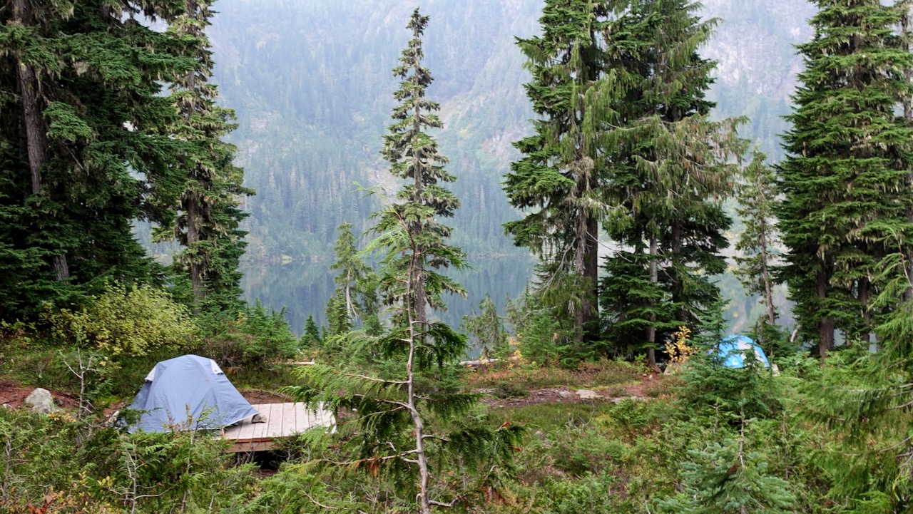
There are a couple of campsites on the way with platforms.
Continue to Nels if you have the time and energy.
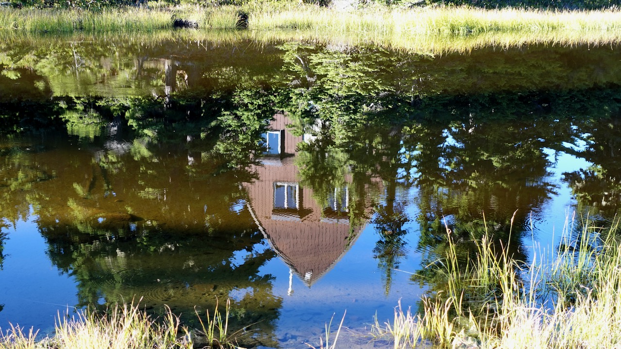
This was close to where I camped in 2012.
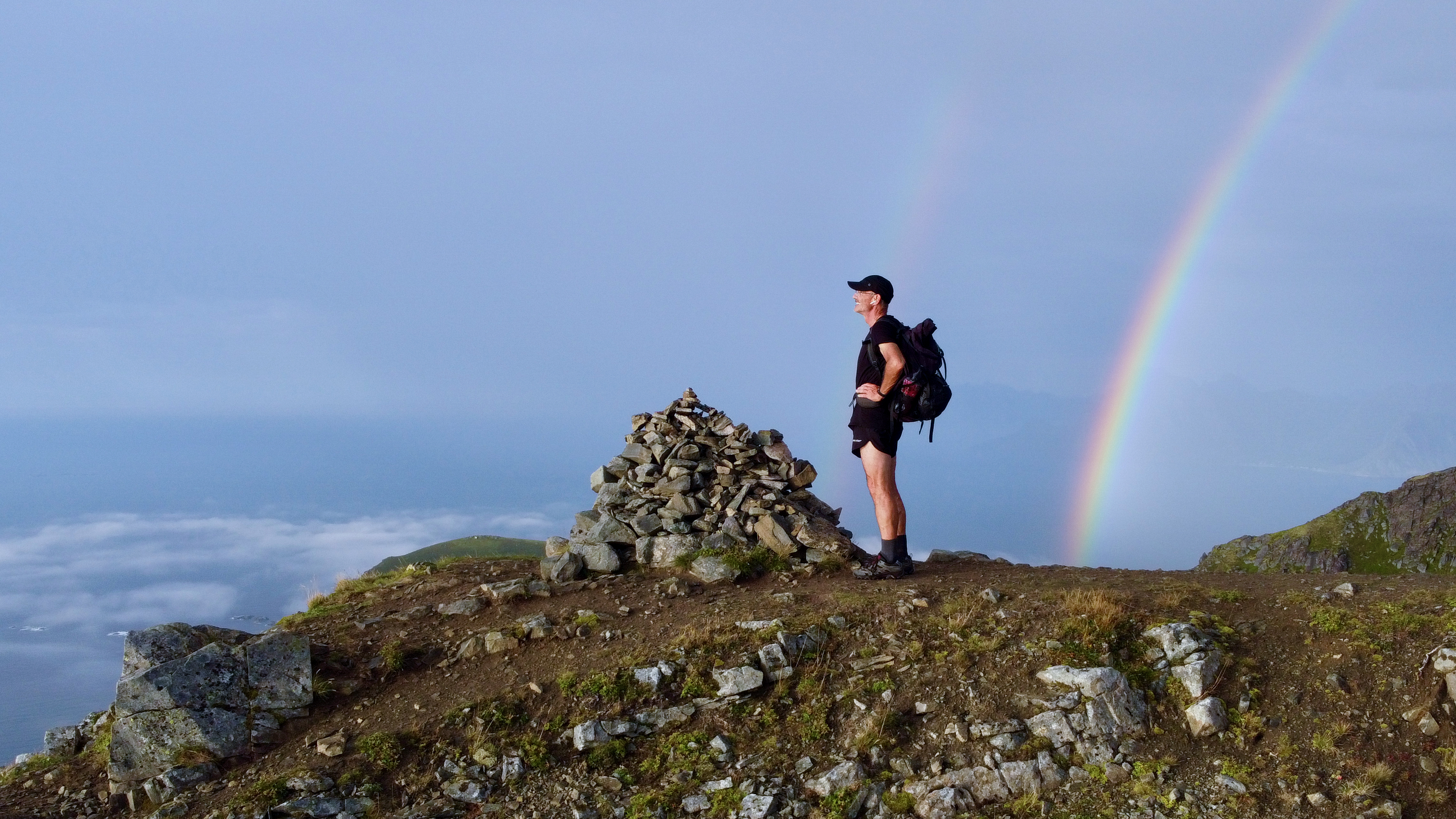
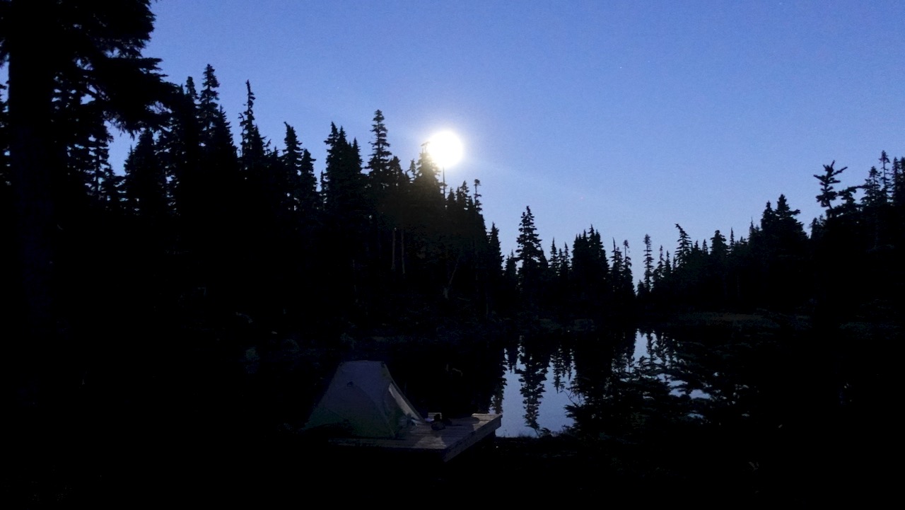
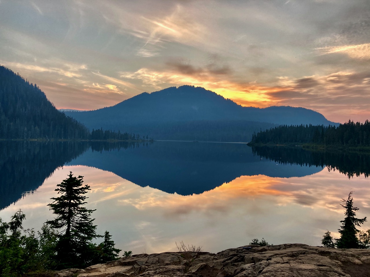
Sunset was fantastic on the west coast.
Here’s the view from my tent.
No photo editing.
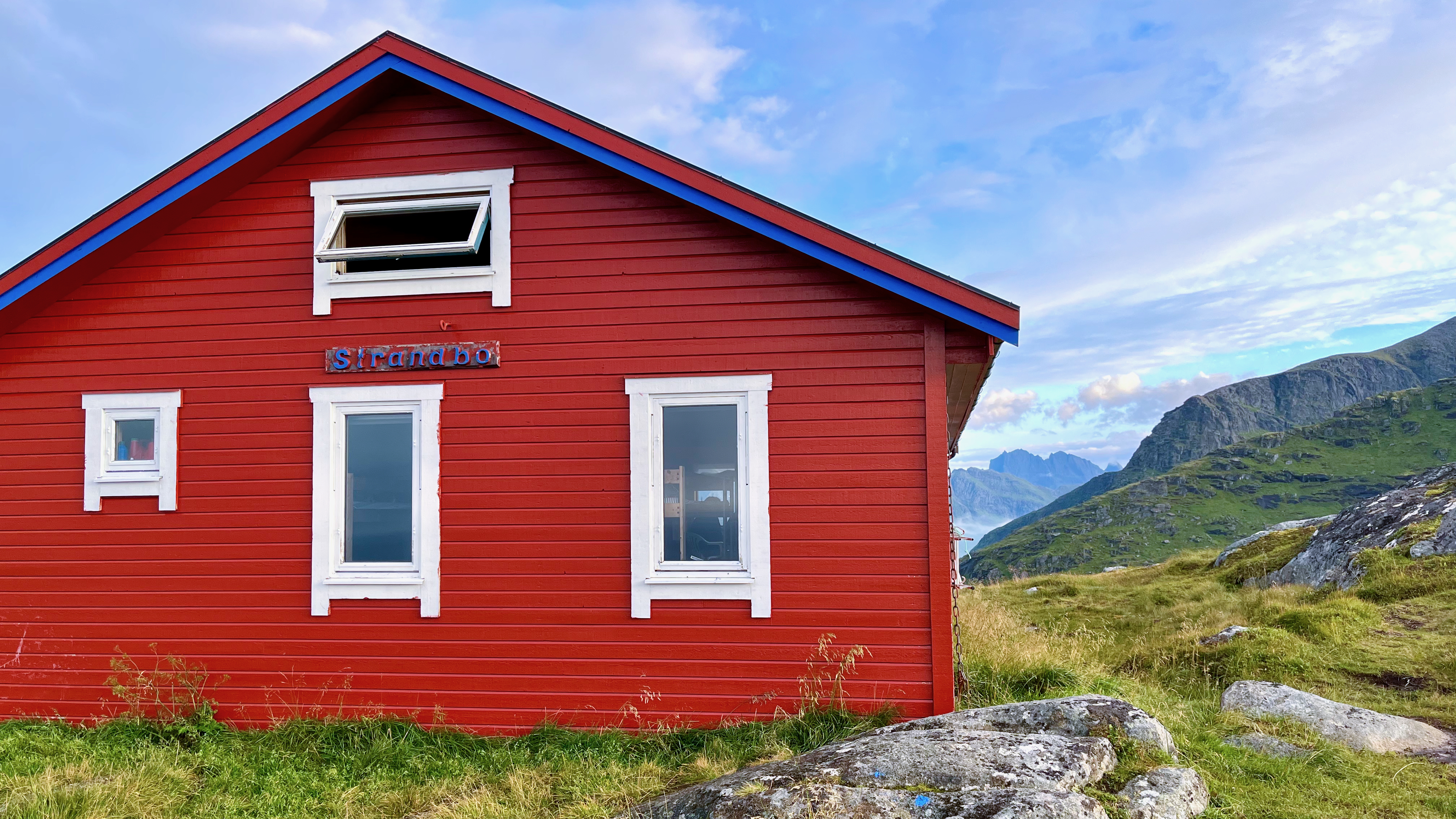
Pit toilets are decent.
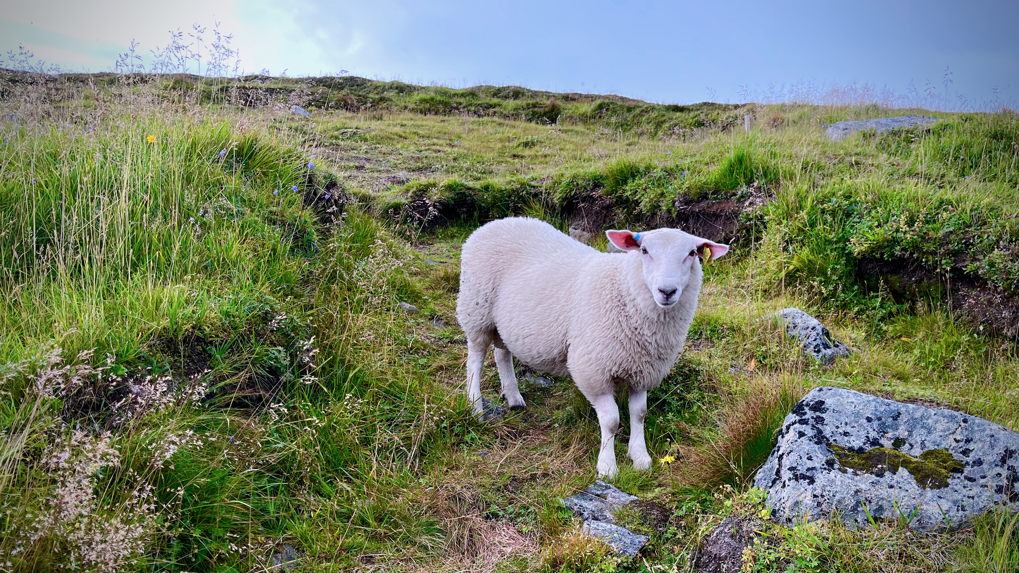
Be sure to lock up all your food on arrival as bear sightings are almost guaranteed. (I saw only 1 bear next morning. Unlucky. Everyone else saw more.)
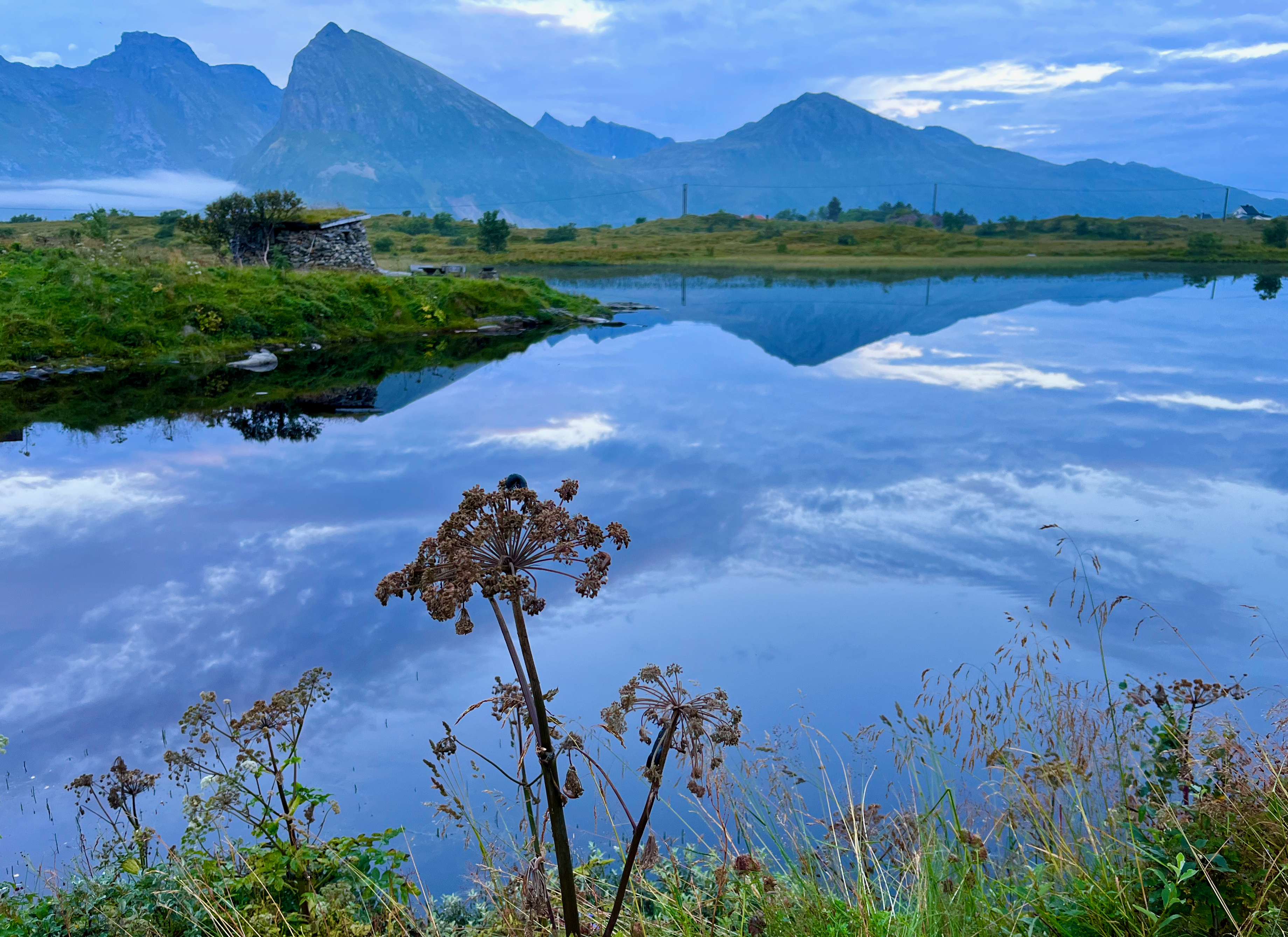
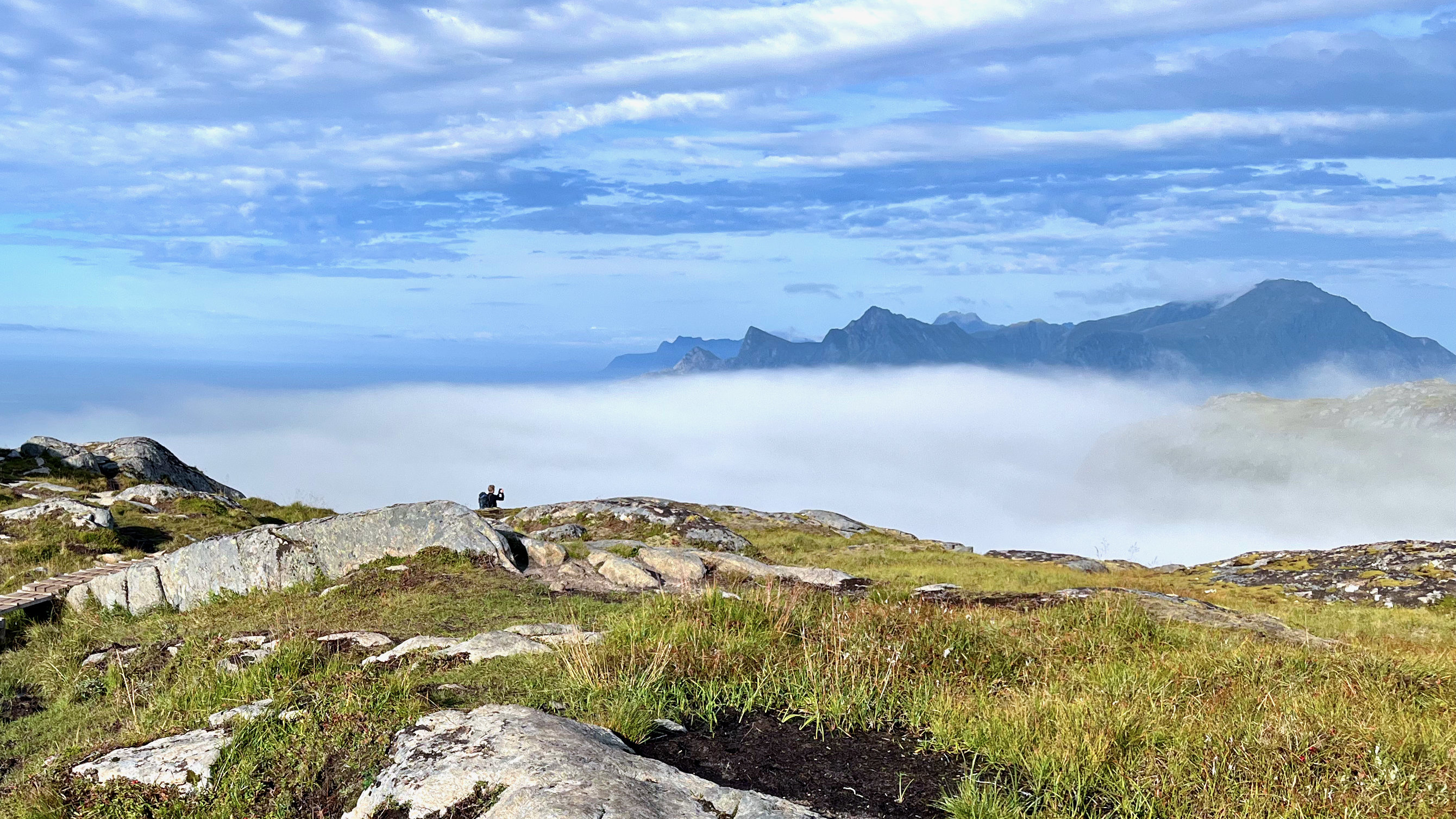
Weather on awakening was far more typical. Overcast with fog.
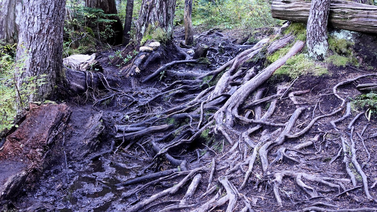
It can be very muddy. Bring good footwear.
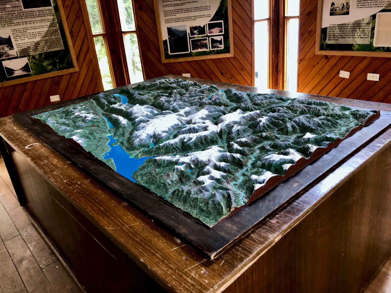
On the return to the parking lot, I stopped to read signboards and visit the historical sites.
From 1896-1907 approximately 100 Danish settlers attempted to establish a self-governing farming and fishing community. It was extremely difficult.
A 7-foot-high dyke built to protect these flatlands was wiped out the 1st year.
Later, the government offered incentives to all. By 1912 more than 600 people were homesteading in the Cape Scott area. By 1917 most of the settlers had left the area, leaving behind whatever they could not easily pack out, including farm tools, buildings, stoves, machinery, and vehicles.
Walking out seemed to go more quickly than walking in. That often happens to me on out and back hikes.
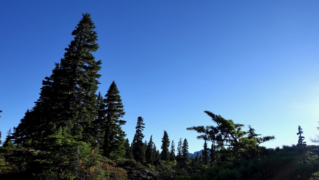
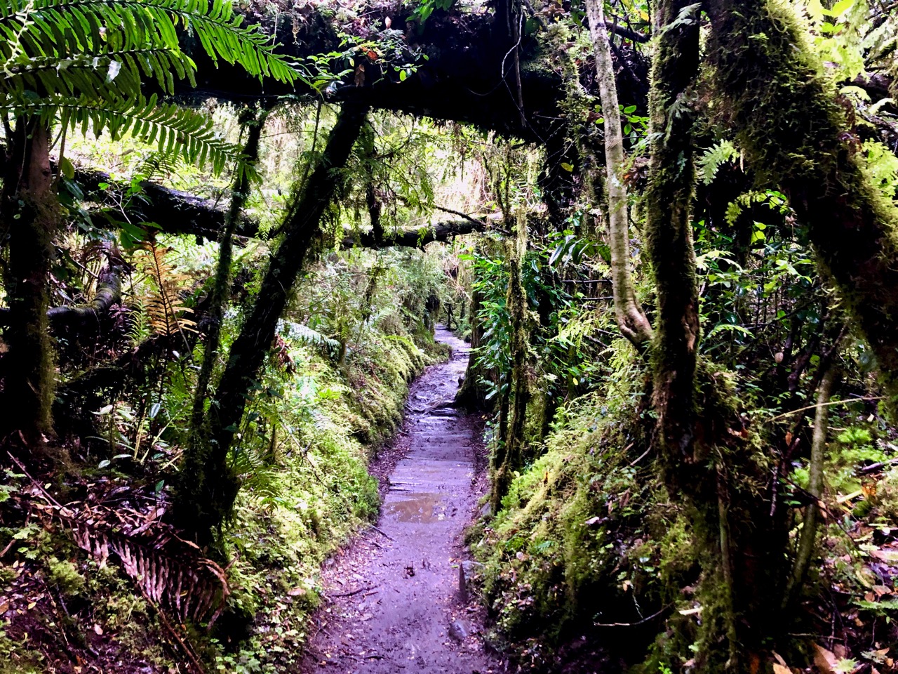
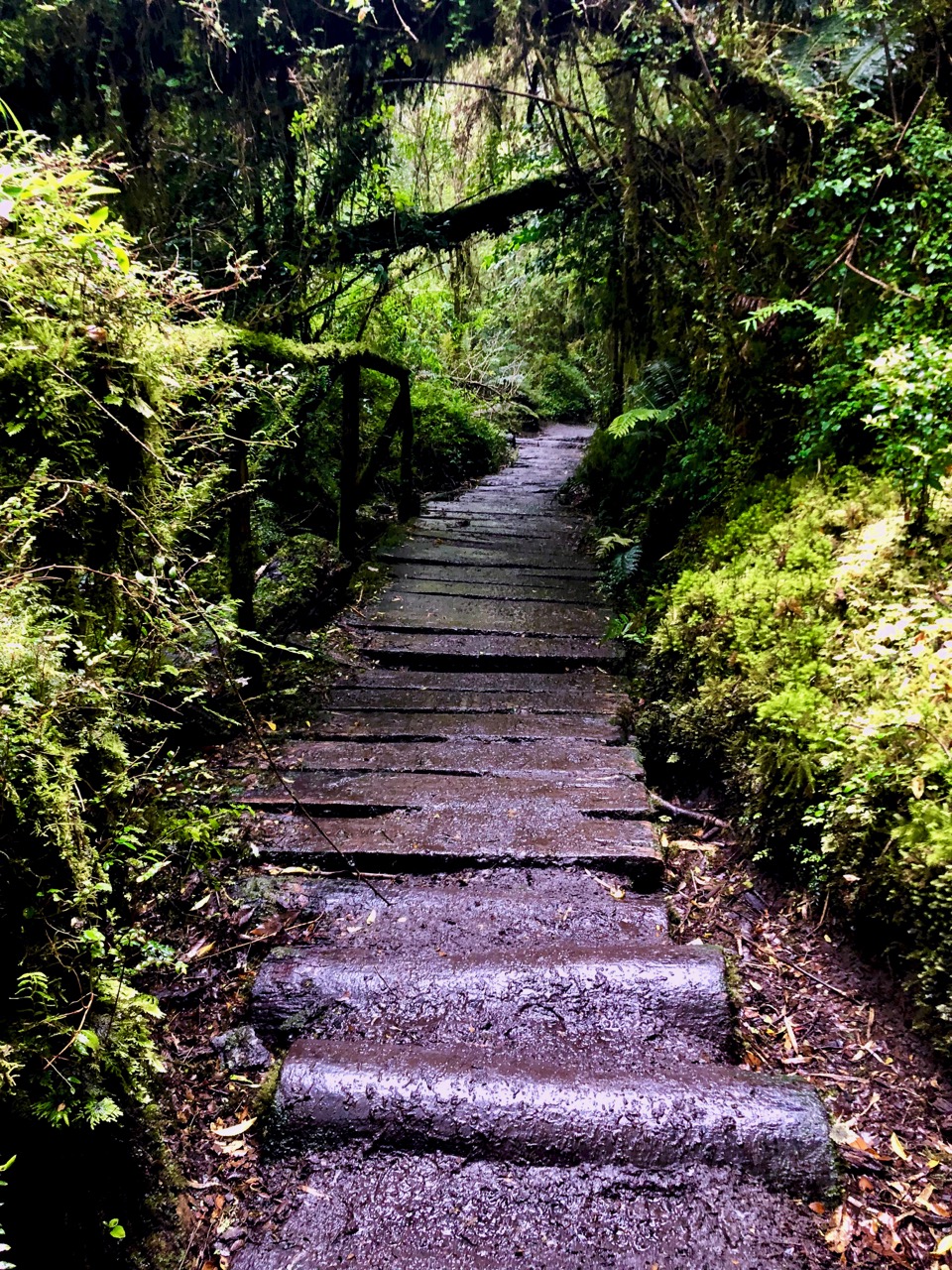
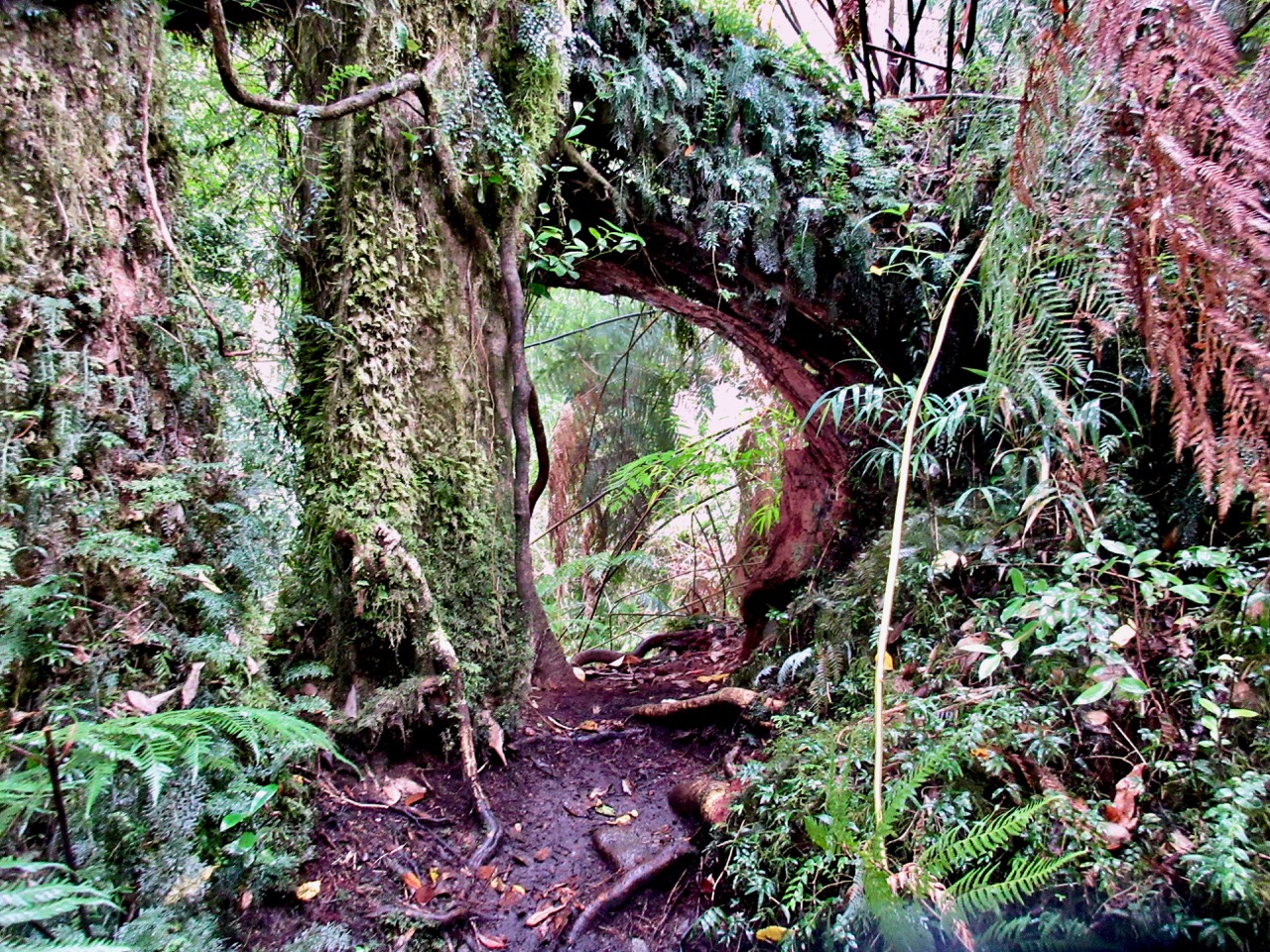
Always a pleasure to hike temperate rain forest.
I do hope I get back to the beaches at least once more in this lifetime. 😀
2025
2012
Surprisingly, I saw not one wolf in two days. I’d seen plenty in 2012.
“At 3,300 feet (nearly 3/4 mile) long and 12 ft wide, the Coeur d’Alene Resort Floating Boardwalk is the longest floating boardwalk in the world and encircles the marina on Lake Coeur d’Alene,” the Road Trip America says.
Seated on the north shore of Lake Coeur d’Alene by Tubbs Hill, the resort features a marina, convention facilities, spa, as well as a notable 18-hole golf course.
Free and open to the general public, walking laps around the resort is recommended.
The real experts on this park are Mike Blake and his team at MB Guiding.
If you are looking to organized a guide trip — climbing the Golden Hinde, for example — go with MB Guiding.
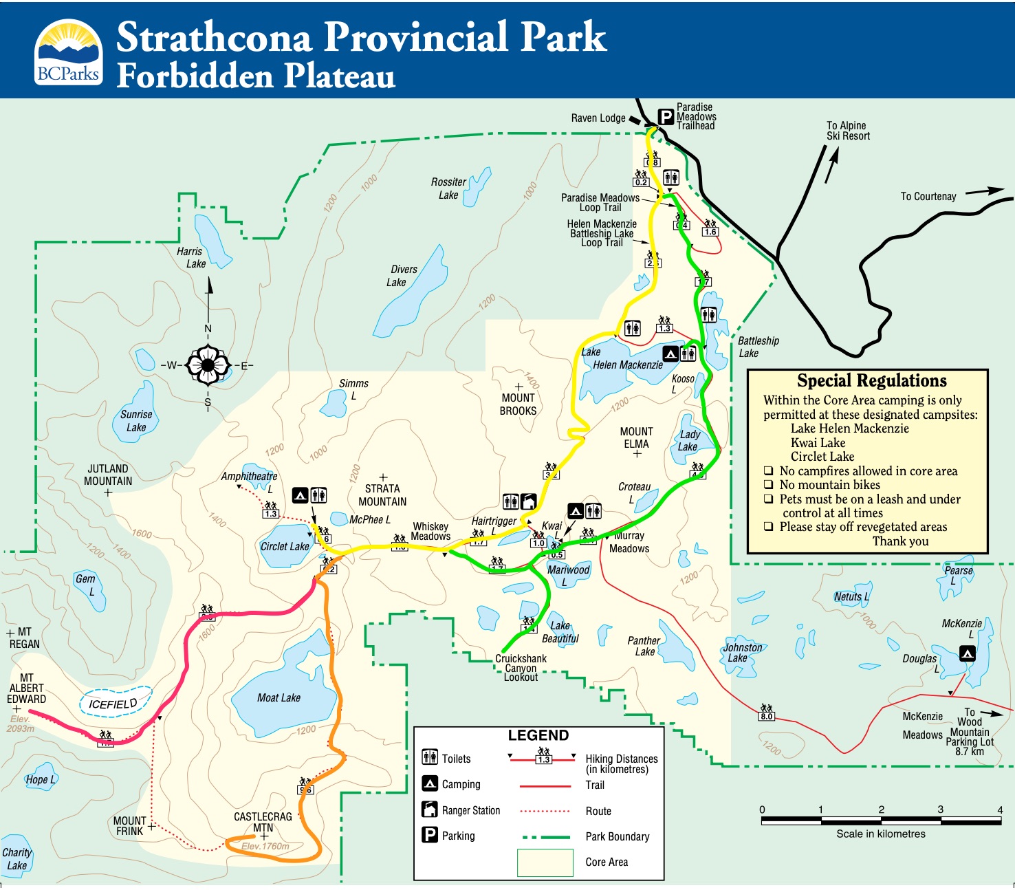
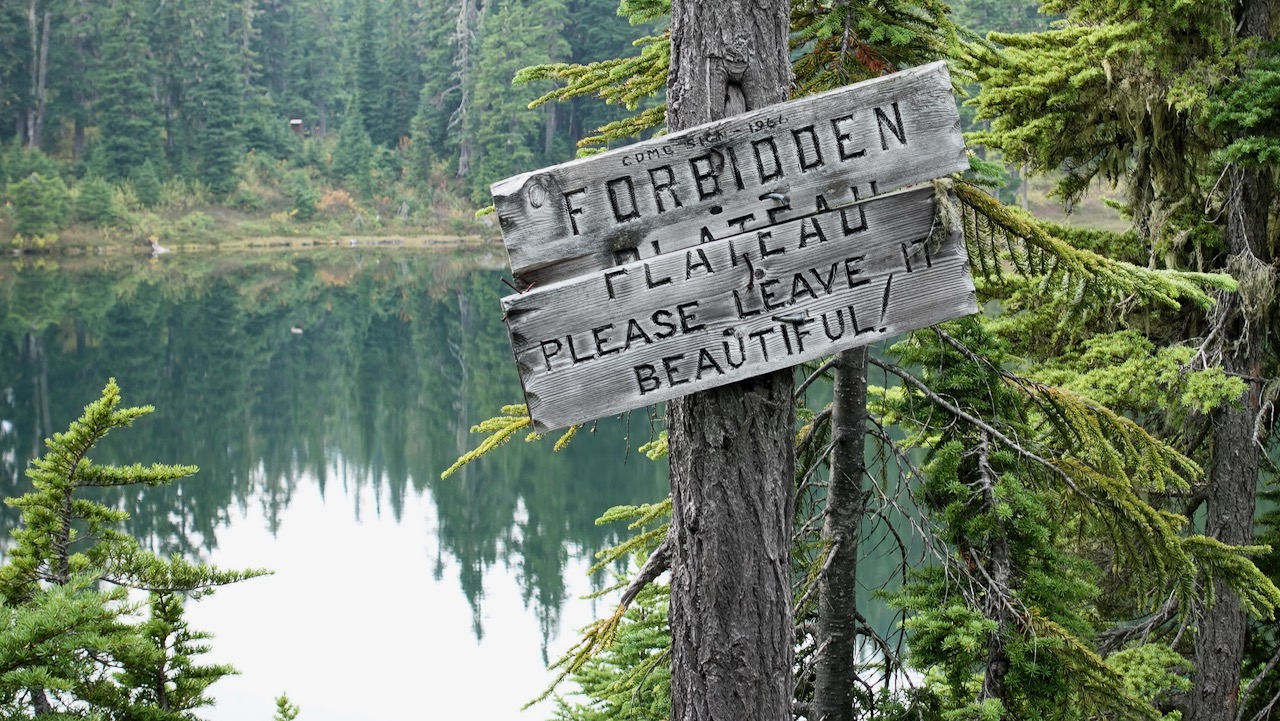
If you’ve never been to Strathcona before, easiest access is via the Paradise Meadows trailhead out of Courtney / Comox which gives easy access to the Forbidden Plateau.
Well signed, well organized, well maintained, there are loops of increasing difficulty depending on your time and the weather.
One loop is wheelchair accessible, for example.
There are trails ideal for kids, as well.
Three campsites on the Forbidden plateau are first-come, first-served. Great value at CAD $10 / person / night.
If you want to tent, I’d recommend you head for the furtherest campsite – Circlet Lake.
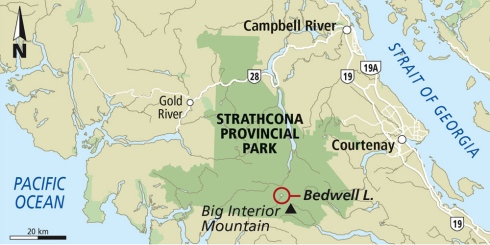
Paradise Meadows is the best and most convenient trailhead in Strathcona, largest and oldest (1911) Provincial Park in B.C..
It’s easy access to the Forbidden Plateau on paved Strathcona Parkway up to Mt Washington Alpine Resort 1100m, 20km up from the inland highway.
Close to Courtney, Cumberland, and Campbell River. The nearest airport and ferry port are at Comox.
Looking from Raven Lodge at the trailhead, the most distinct peak is sharp Albert Edward, 6th highest mountain on the island.
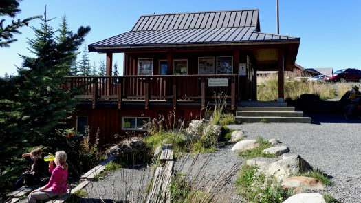
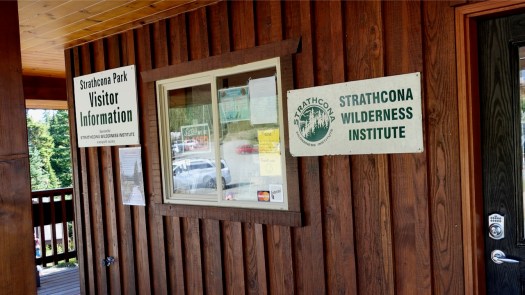
It seemed to me in 2020 that Strathcona Park did not have as much staff as they would like. Happily the volunteers of the Strathcona Wilderness Institute are often in person at Paradise trailhead. Make a donation if they help you out.
→ Centennial Loop (2.5km) → Paradise Meadows Loop (4.2km) → Lake Helen Mackenzie – Battleship Lake Loop (8km) → Helen MacKenzie-Kwai Lake-Croteau Loop (14km)
Those trails closest to the trailhead are best maintained: bridges, pit toilets, good signage and much boardwalk. In fact, the Centennial Loop is wheelchair and scooter accessible.
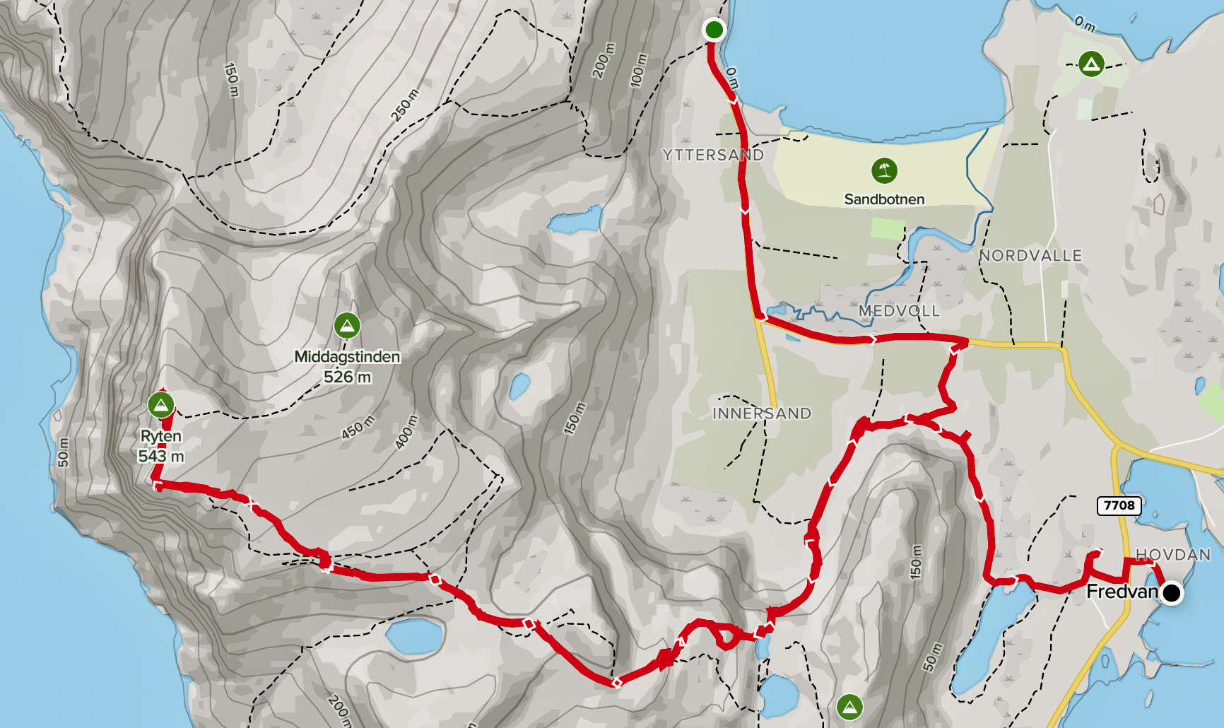
Check the map. I hiked in to Circlet Lake on yellow, mostly looped back on green. But there are MANY possible different interconnecting loops.
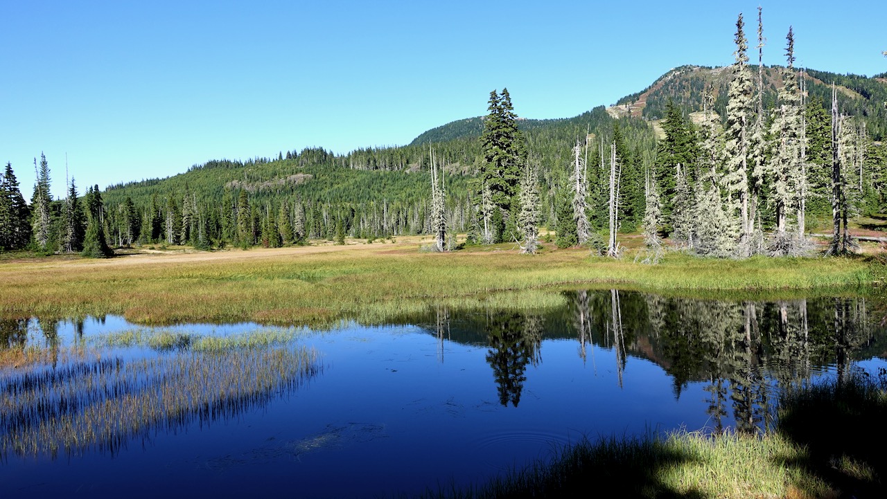
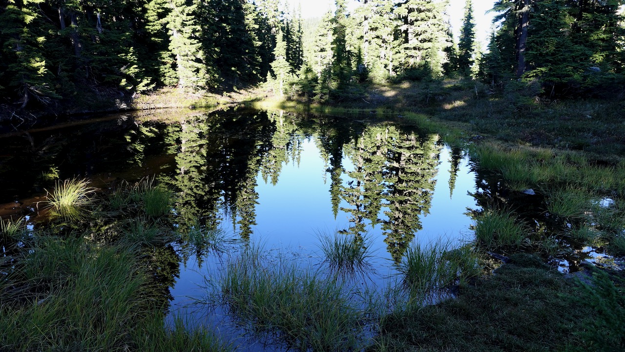
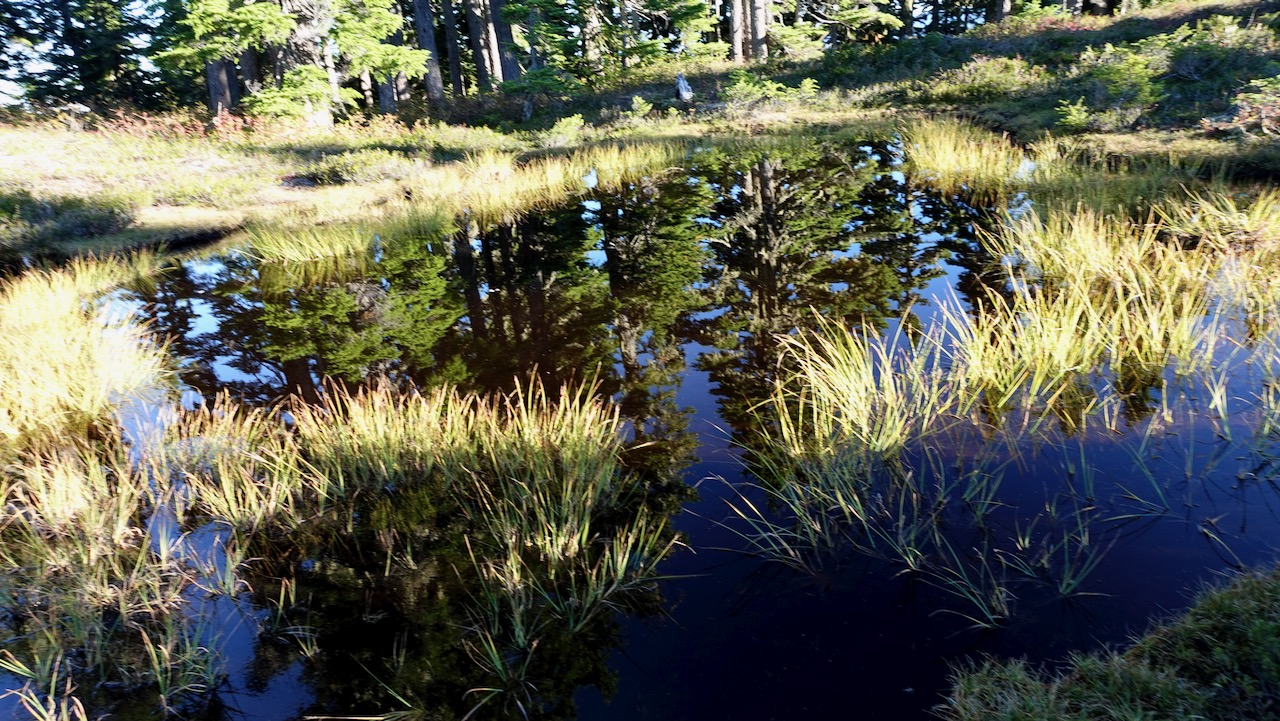
Most hikers on the Forbidden Plateau stay down in the subalpine: forested hills, postcard pretty lakes, babbling brooks, and lovely meadows.
It’s wet. Expect rain.
Expect mud. 🙃
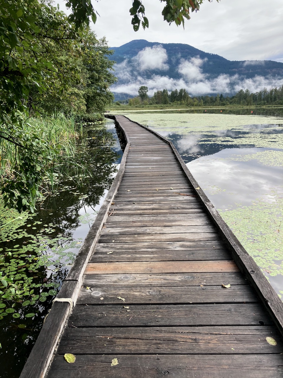
If we couldn’t enjoy all this beautiful boardwalk, we’d often be wading wetlands.
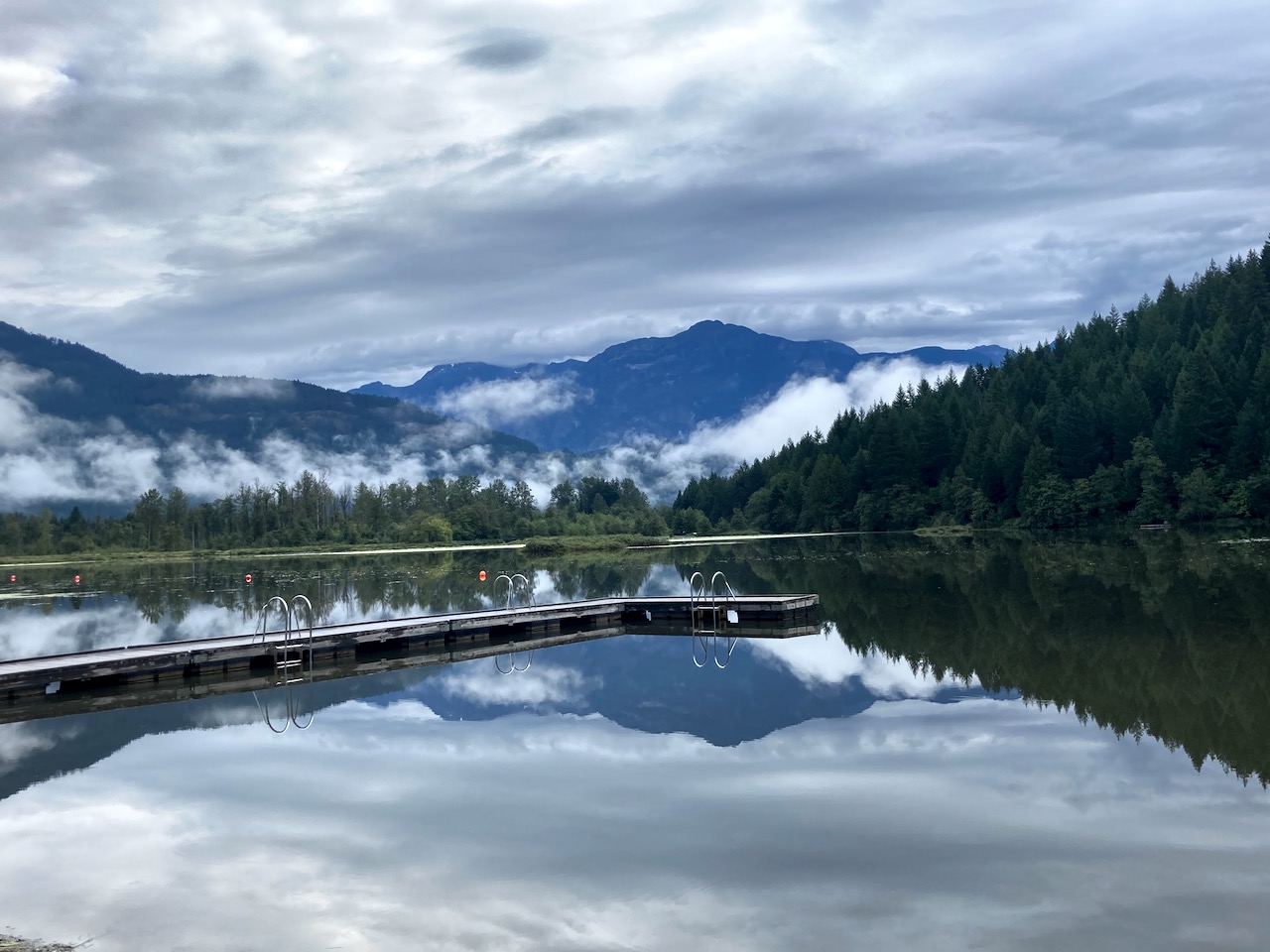
Water water everywhere, yet I found I had to treat almost every source. There are not all that many fast running creeks.
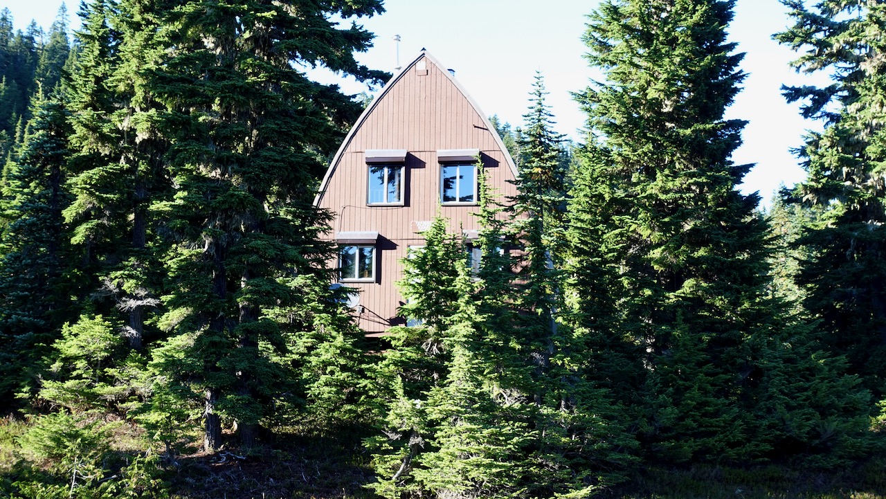
I passed one picturesque Ranger cabin.
Three first-come, first-served campgrounds are quite good, the closest at Lake Helen Mackenzie near the trailhead. Each has pit toilets and bear proof food lockers. (CAD$10 / person / night in 2020)
I was there late September 2020. Very few mosquitoes! That’s not always the case here.
I hiked in to Circlet about 9.5km one way. About 4 hours walking. Stayed 3 nights.
Arrived just before dark. Camped on pretty Duck Pond rather than the lake itself.
Circlet is not likely to fill up — but you MIGHT find no space left at Helen Mackenzie and Kwai Lake campgrounds on a busy day during the short summer season.
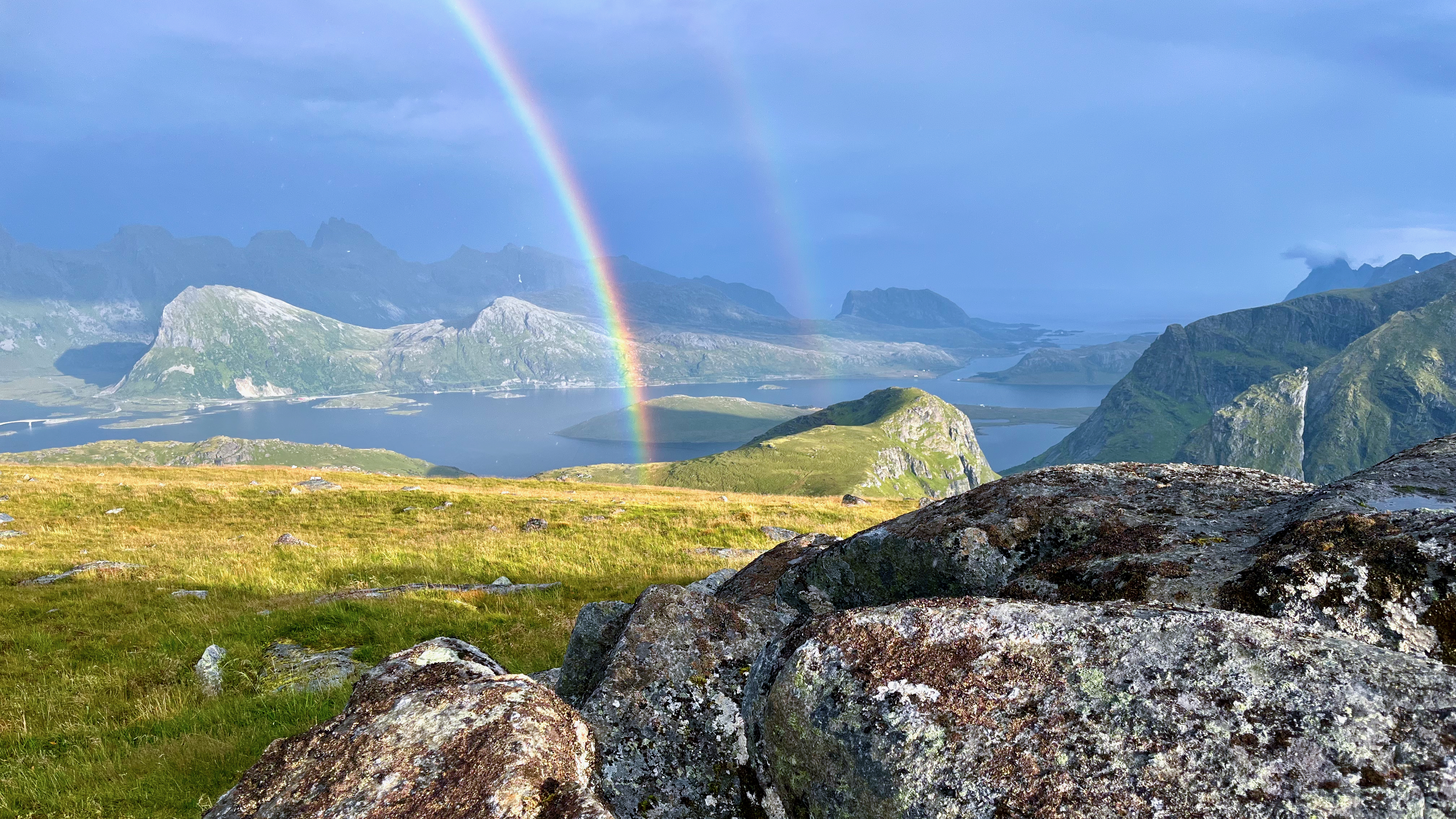
This hike is very challenging. Calling it Low-Medium is insanity. 🙄
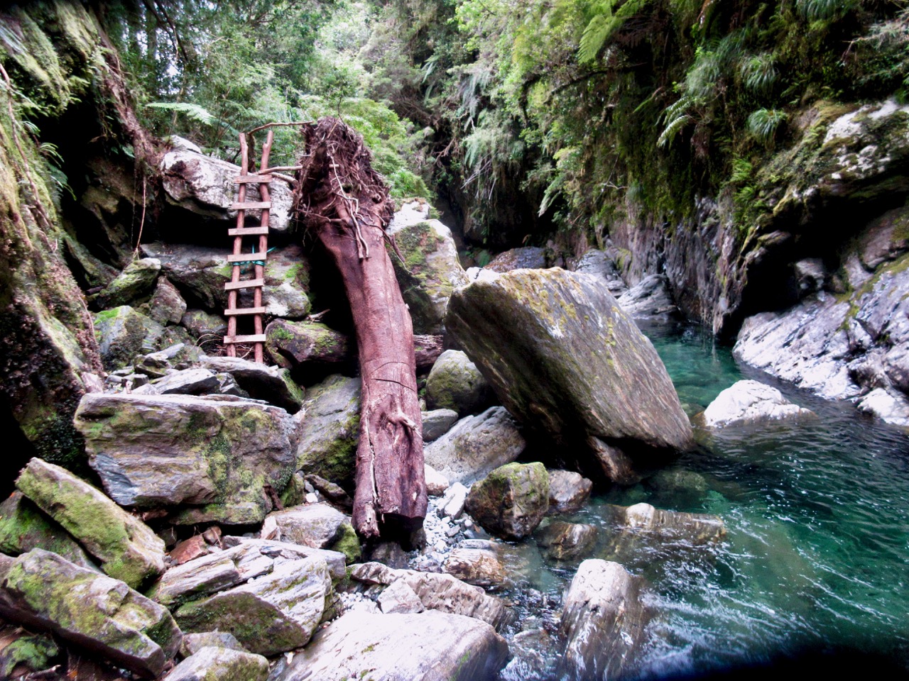
There are many sections where you need to use your hands. Scrambles.
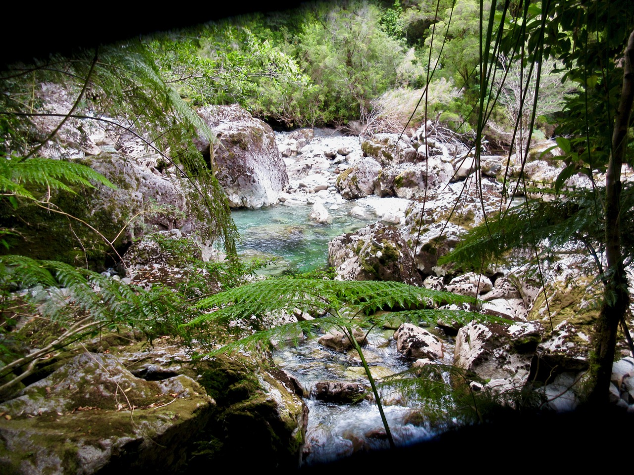
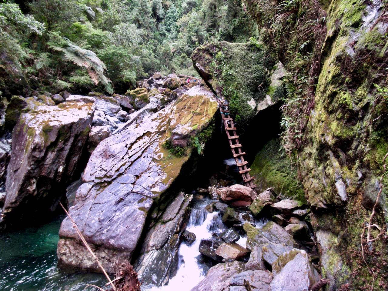
The river crossing could be dangerous / impossible at high water. I slipped in with both feet while boulder hopping.
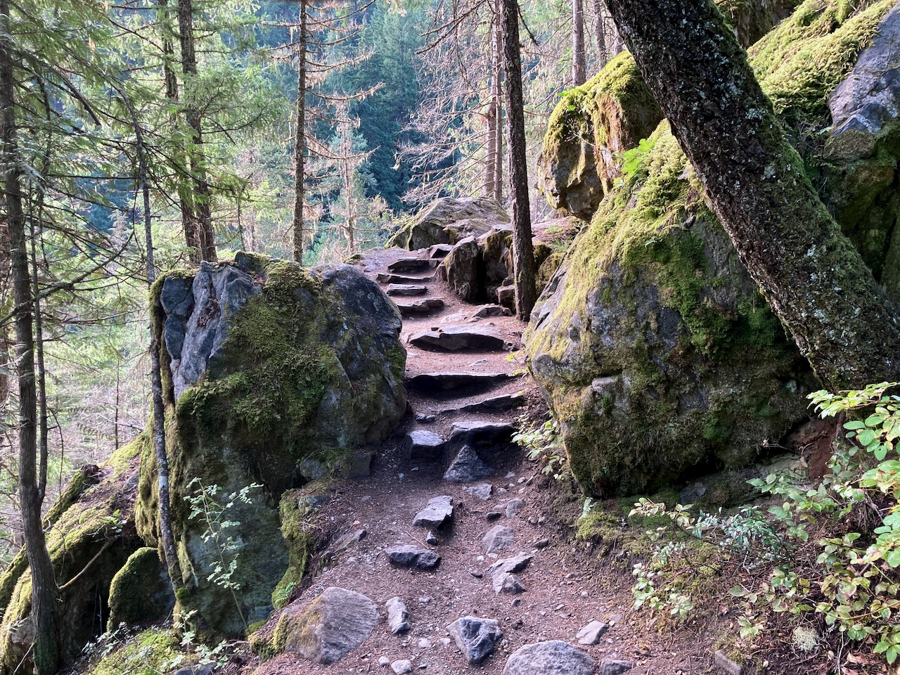
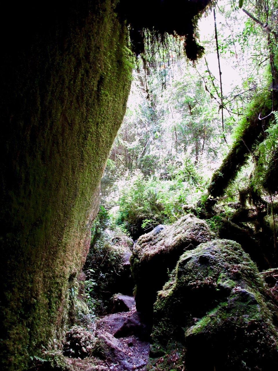
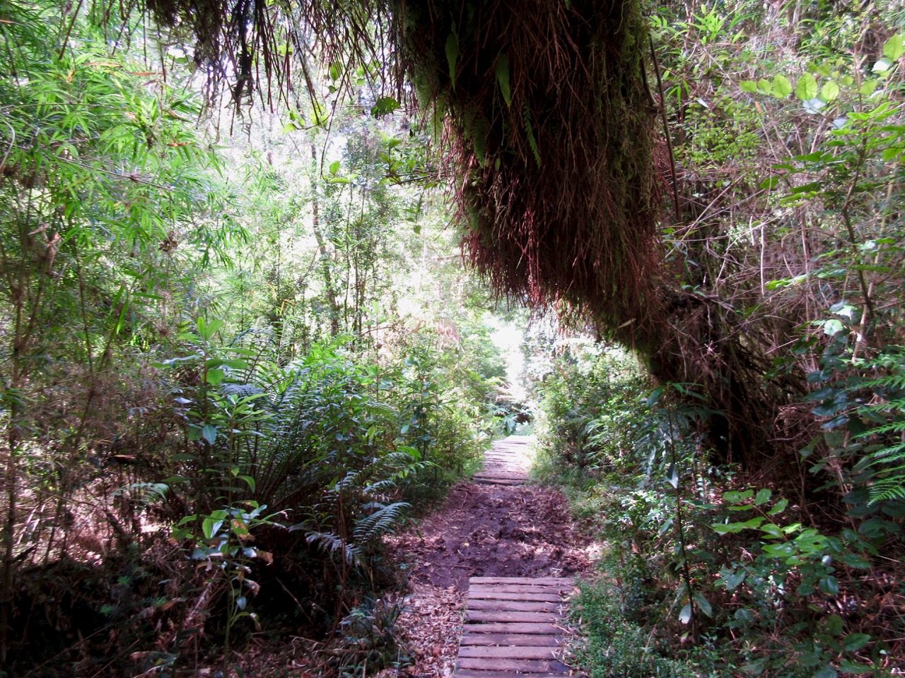
You can quickly see why this temperate rain forest was so inaccessible before superb trail builders got here.
There was a ton of work done to put in this trail. Plenty of boardwalk, most made from local wood onsite.
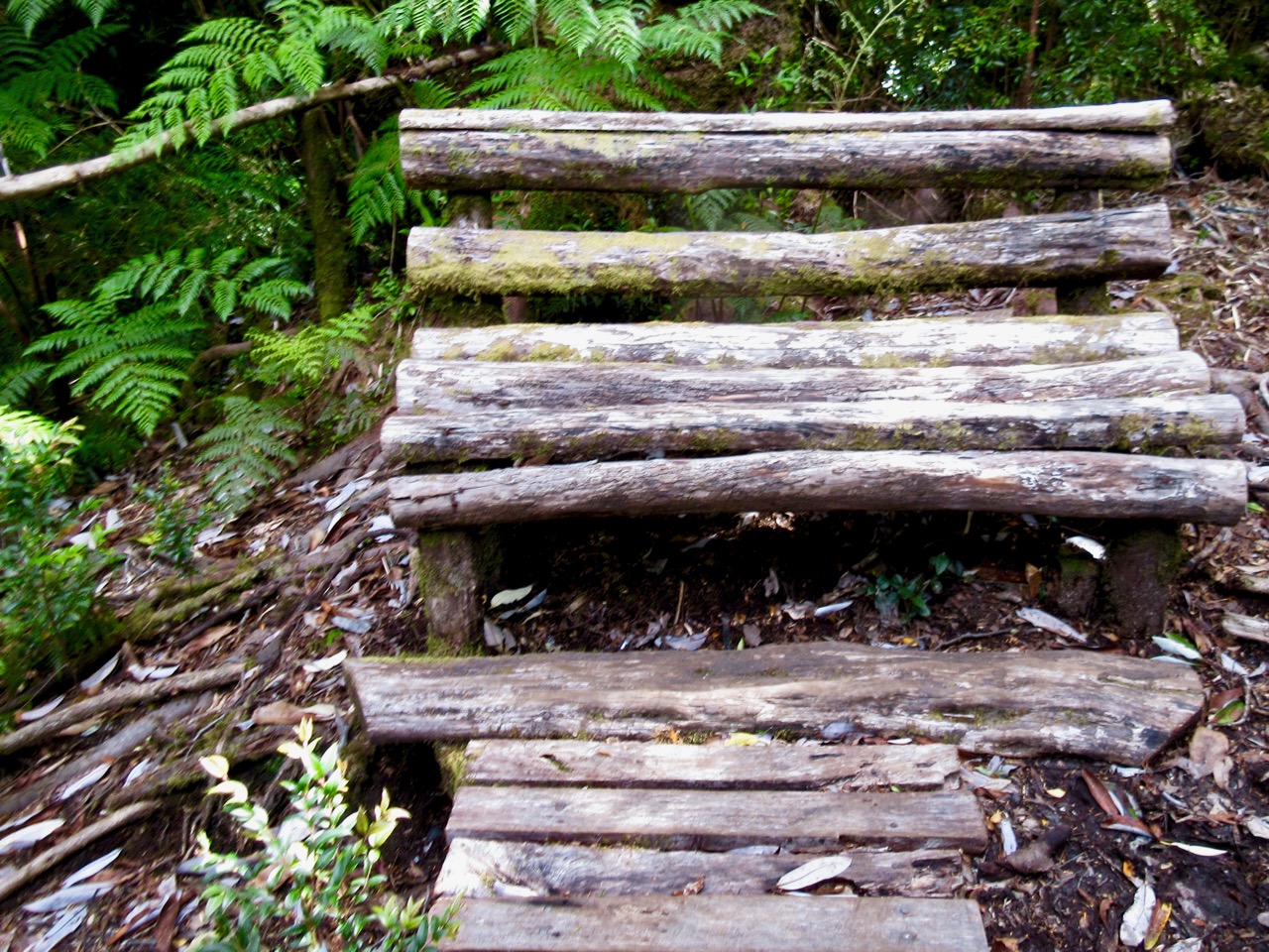
Check this natural park bench.
The crux of the hike are these two ladders.
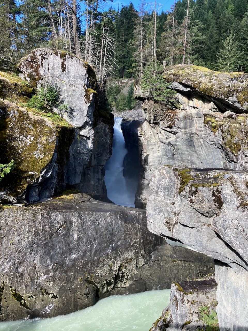
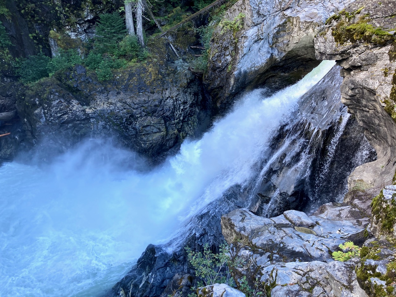
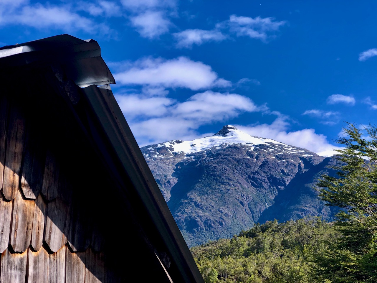
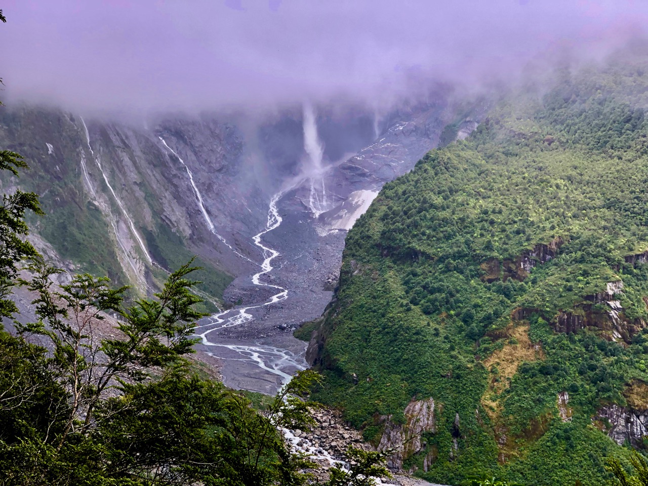
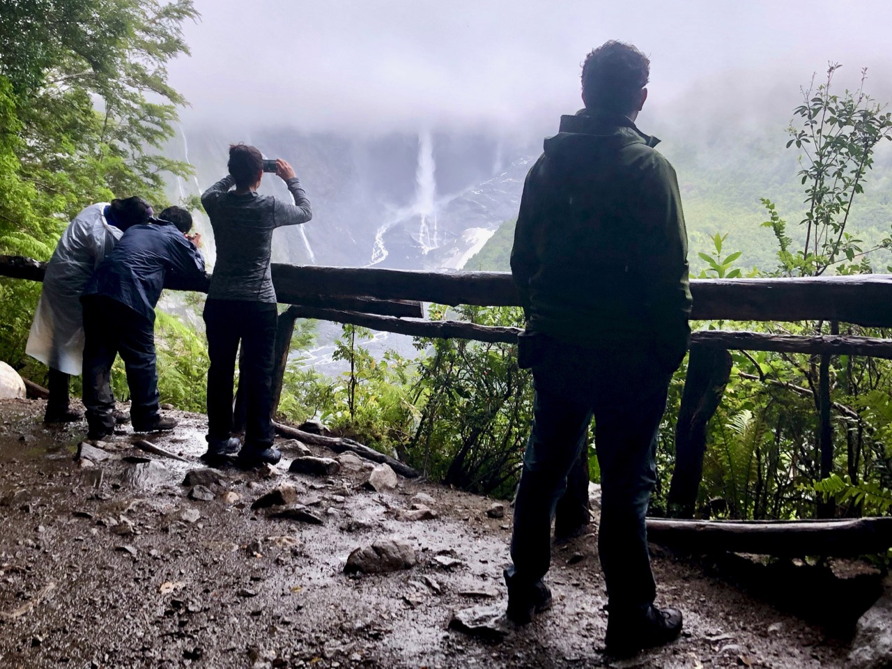
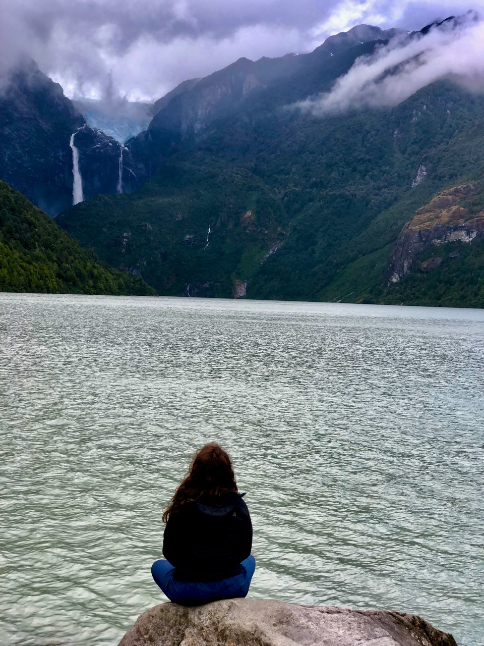
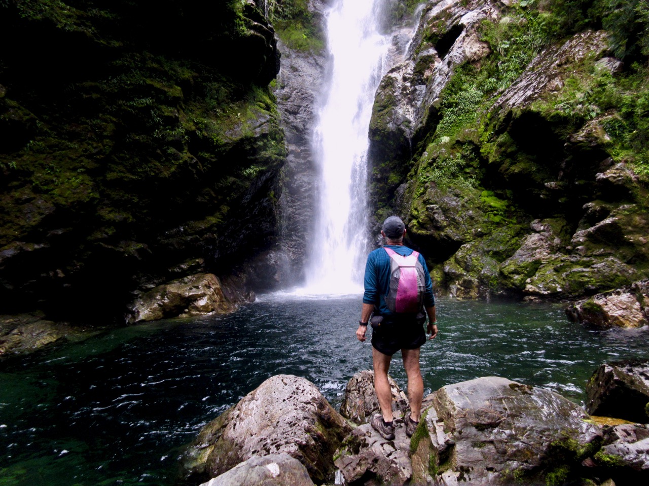
Made it. This is what I expected at Pumalín.
For me it was 3 hours round trip. Finishing at 8pm I had only about 2 hours of daylight left to get set-up at the nearby campground and to cook up a BIG dinner.
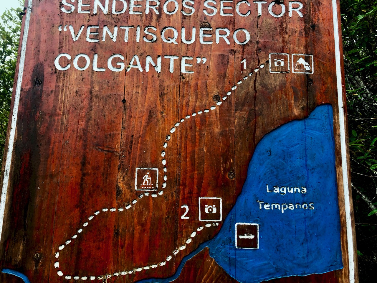
Cascada was my first hike in this sector of Parque Pumalín.