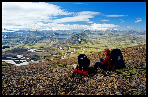
Our favourite hike in the high Andes. Doing it independently only recommended for confident, self-sufficient hikers experienced at high altitude. It’s remote.
AT A GLANCE
Peru
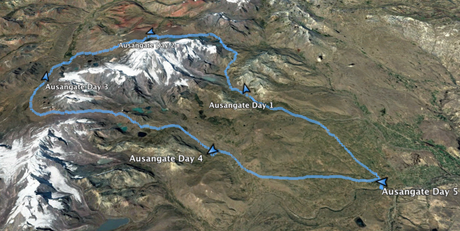
circle sacred Ausangate massif(6372m, 20,905ft), the highest peak in southern Peru
4 high passes between 4757m – 5165m
70km (43.5mi) plus sidetrips
almost everyone does Ausangate with a guide, but it’s quite doable independently if you are acclimated
many options to extend this trek
best months are the May-September dry season
Tinqui is 5-8 hours now only about 3.5hrs by bus on a new road, about 100km S.E. of Cusco
Our favourite hike in the high Andes. Doing it independently only recommended for confident, self-sufficient hikers experienced at high altitude. It’s remote.
AT A GLANCE
Peru
circle sacred Ausangate massif(6372m, 20,905ft), the highest peak in southern Peru
4 high passes between 4757m – 5165m
70km (43.5mi) plus sidetrips
almost everyone does Ausangate with a guide, but it’s quite doable independently if you are acclimated
many options to extend this trek
best months are the May-September dry season
Tinqui is 5-8 hours now only about 3.5hrs by bus on a new road, about 100km S.E. of Cusco
Hoping to make a huge day, I was one of the first to leave camp. In the fog.
Bleak and flat to start.
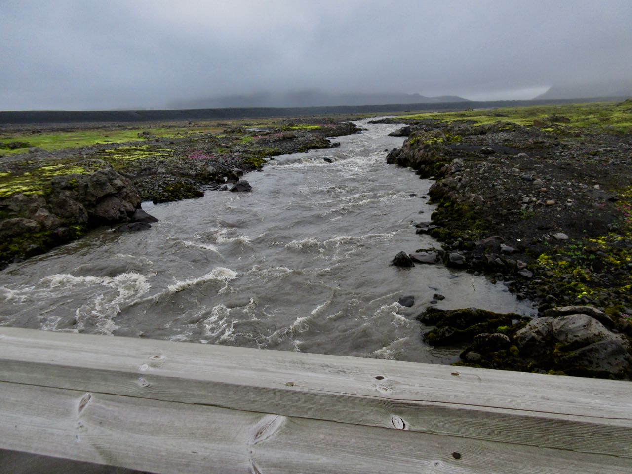
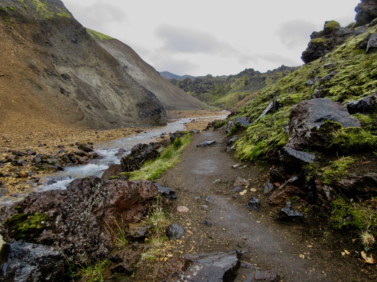
Bridge! Thank God.
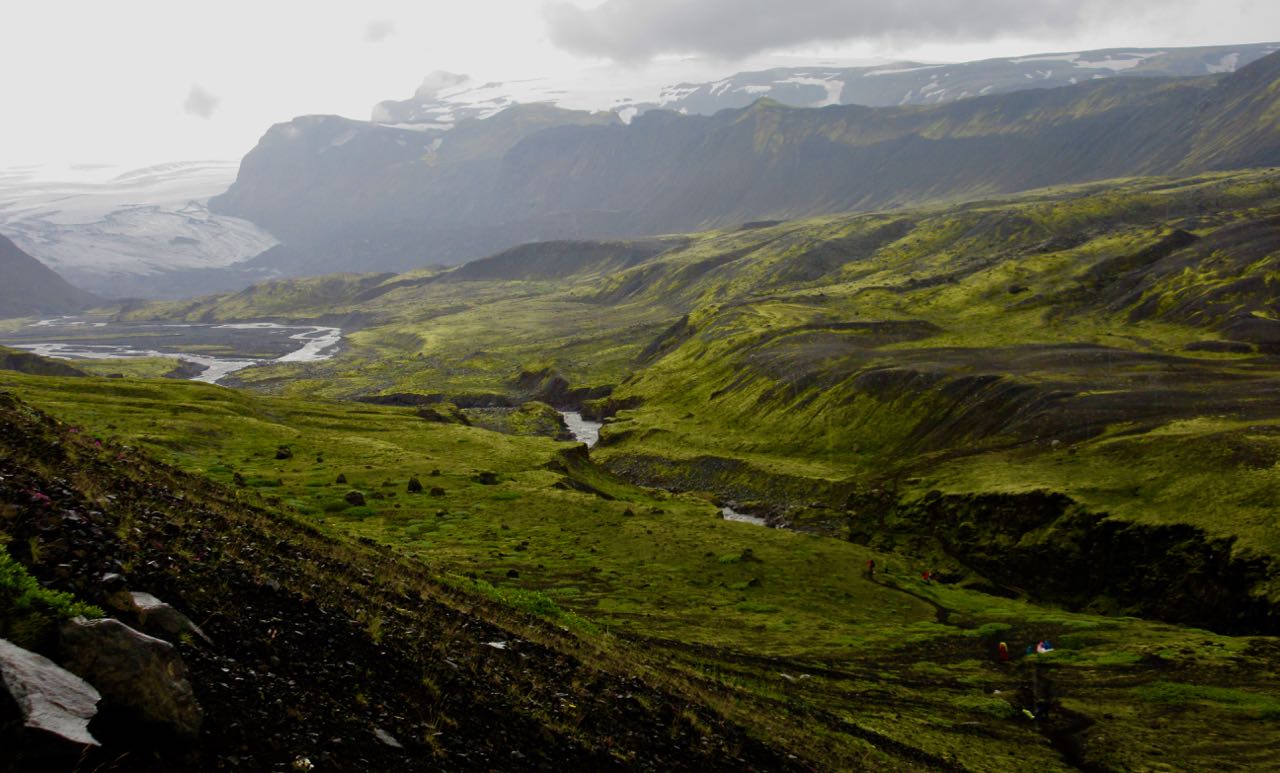
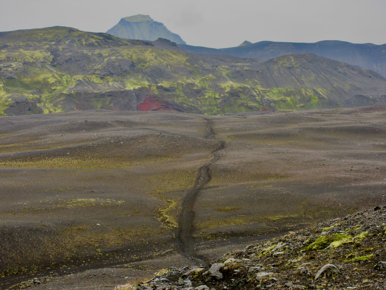
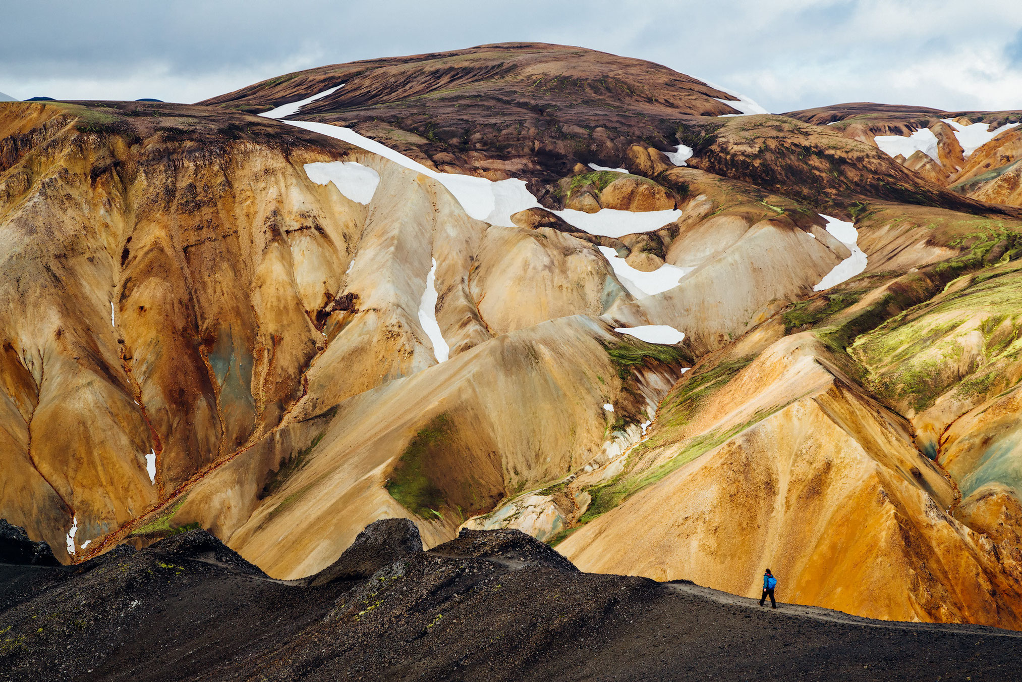
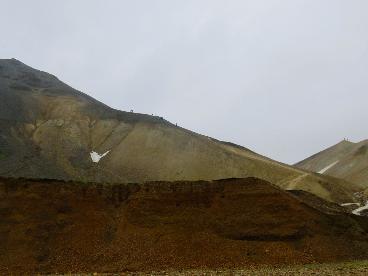
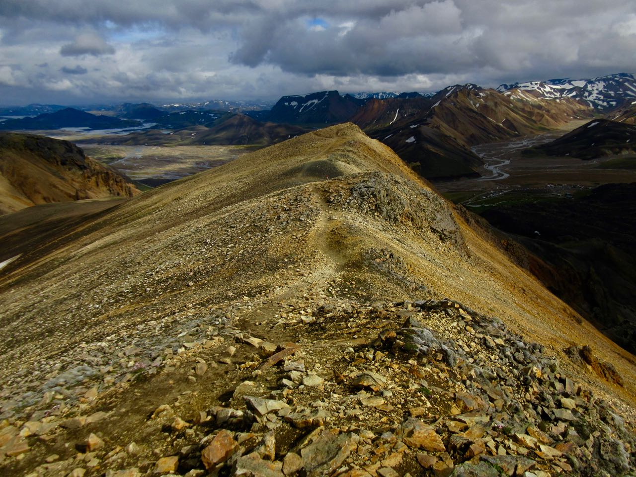
What an epic landscape!
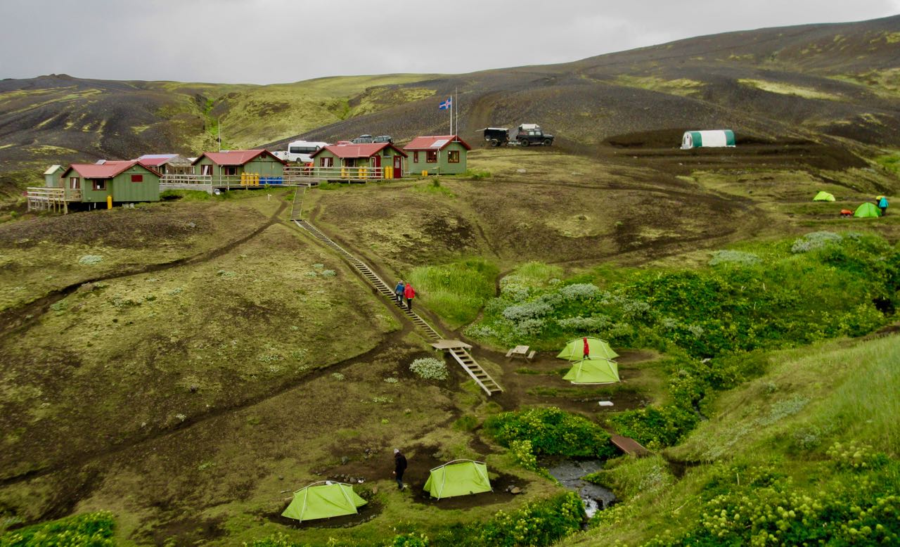
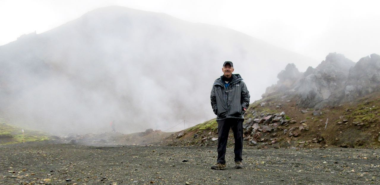
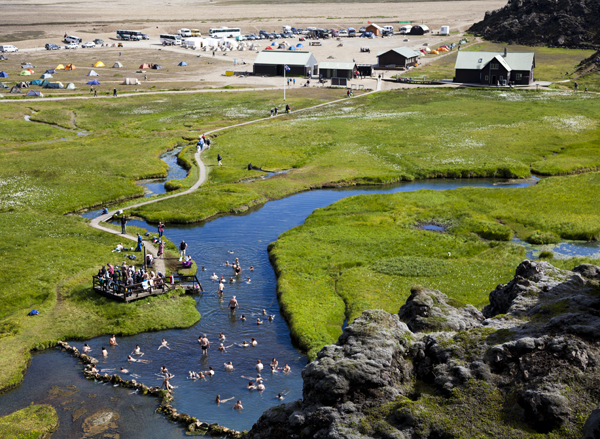
Quite quickly you arrive at this pretty tourist area built 1995.
I had some hot brunch in the cook tent. Then moved on quickly. Some stop here to climb one or two summits as day hikes.
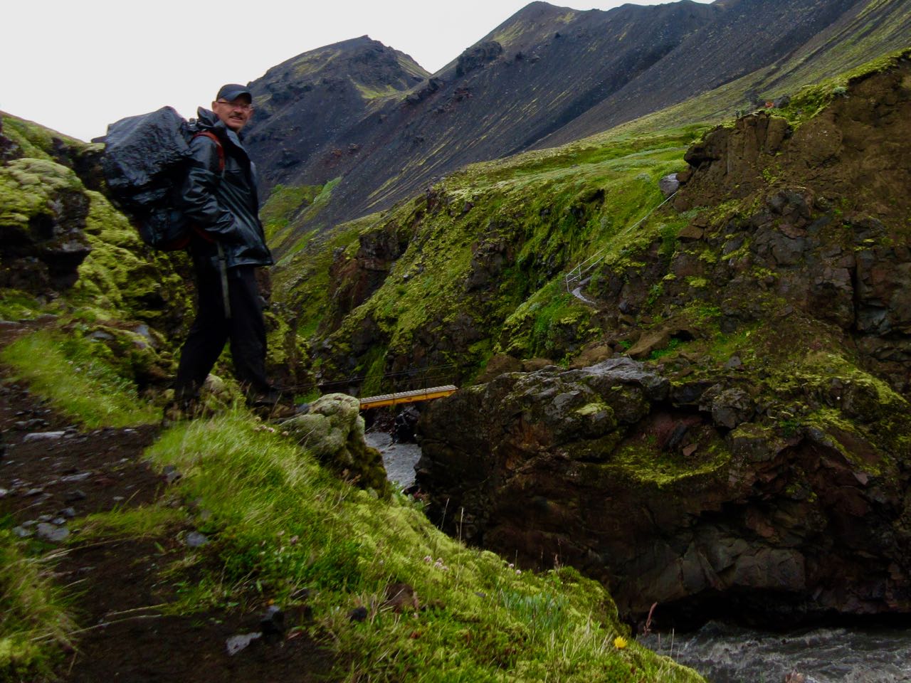
More bridges!
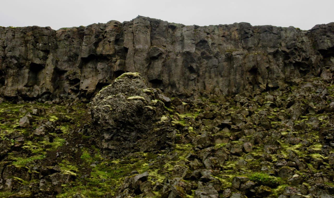
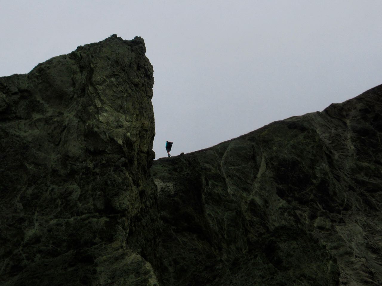
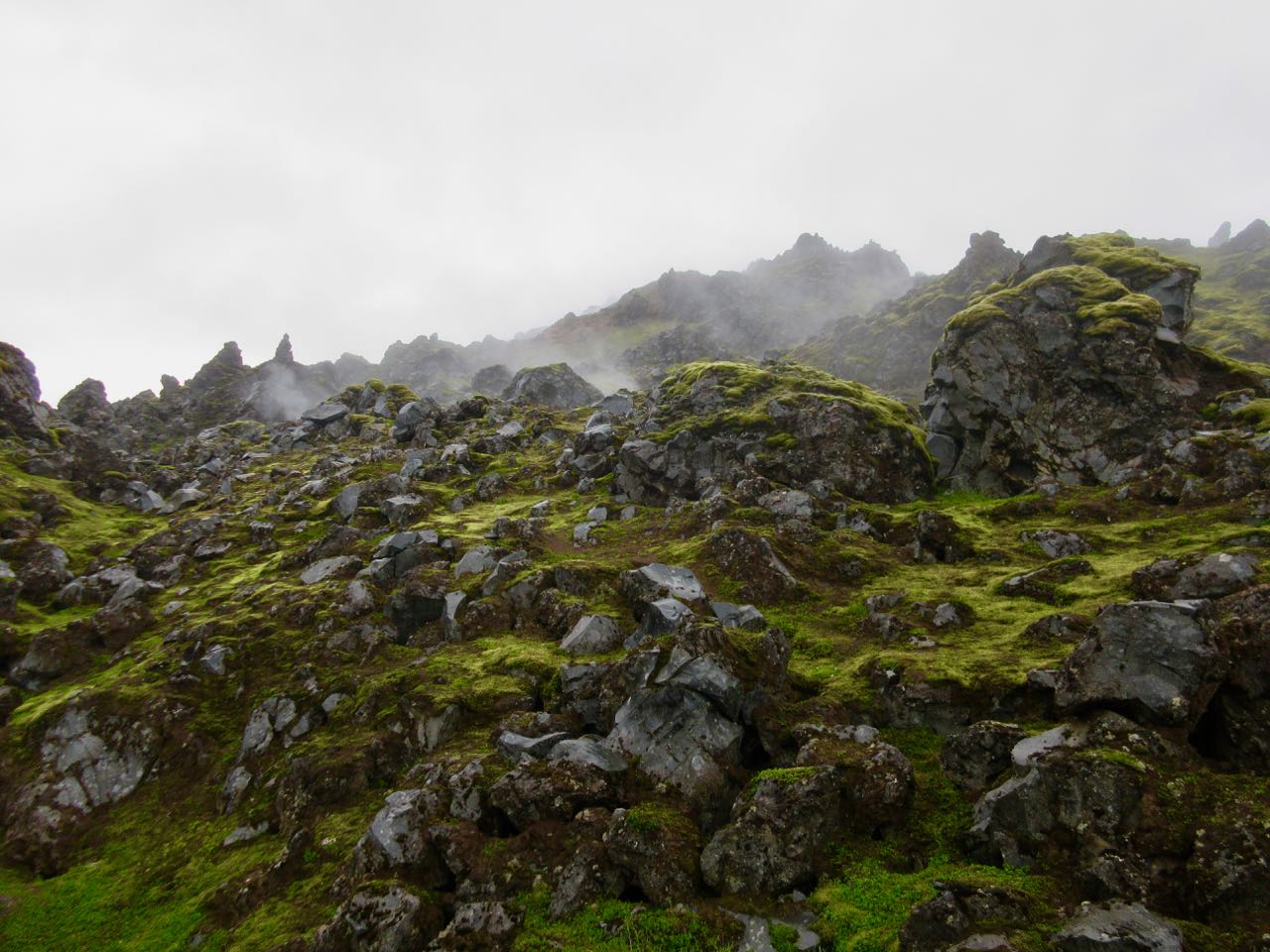
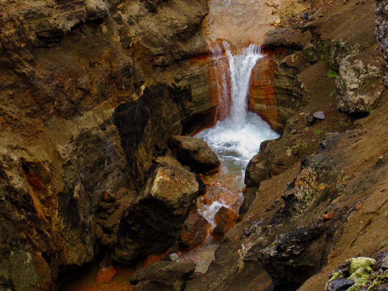
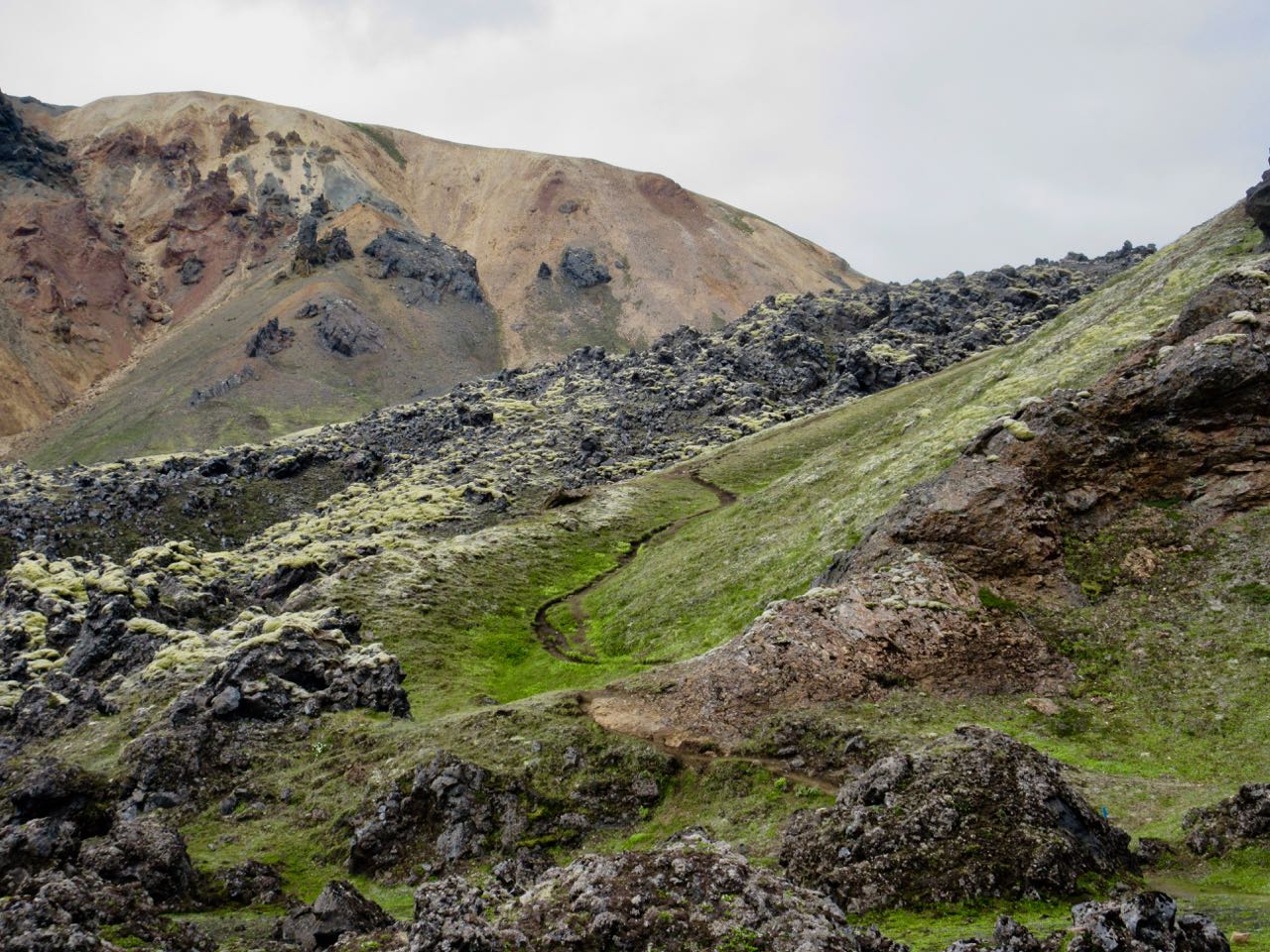
Interesting geology at every turn.
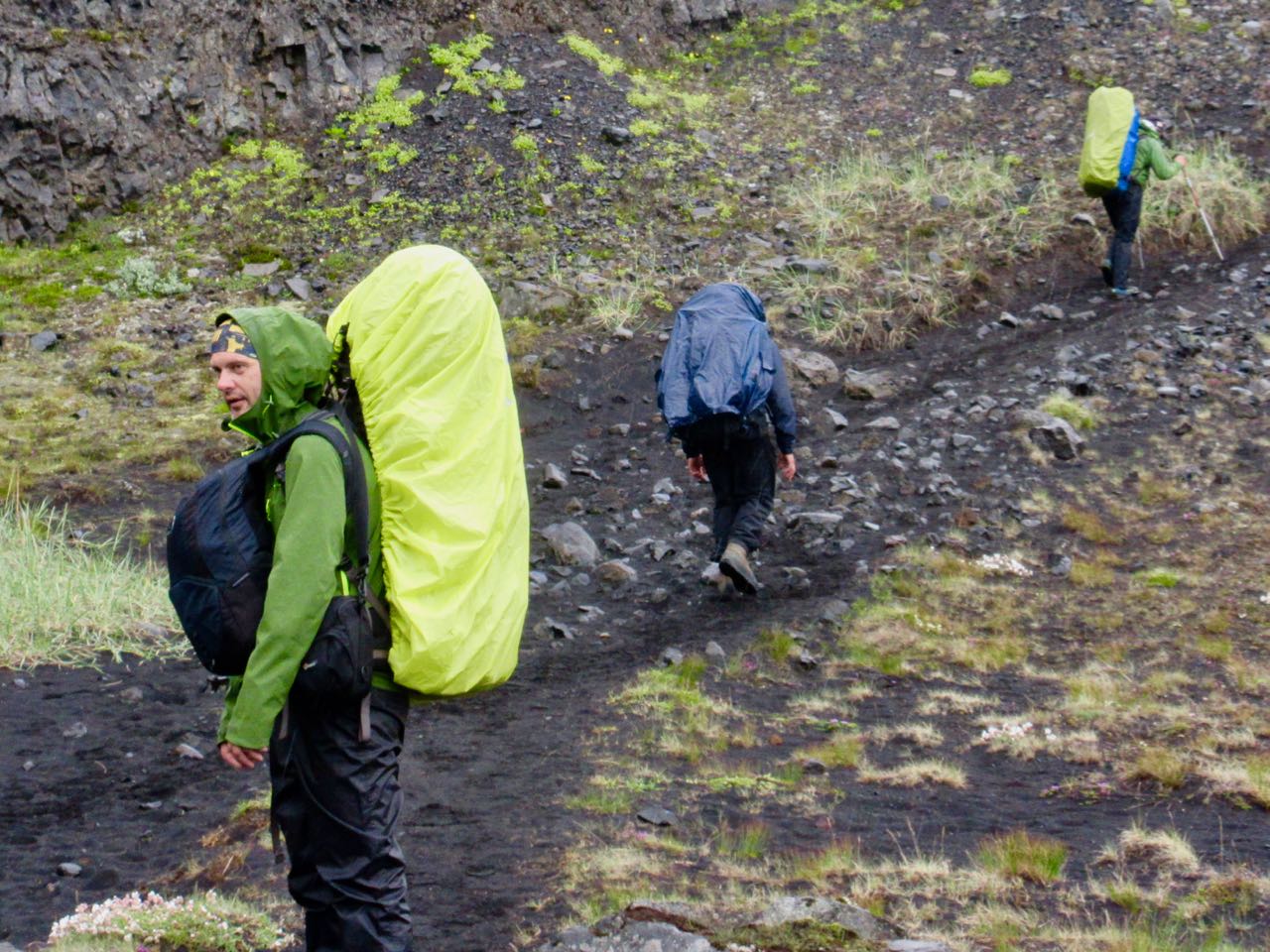
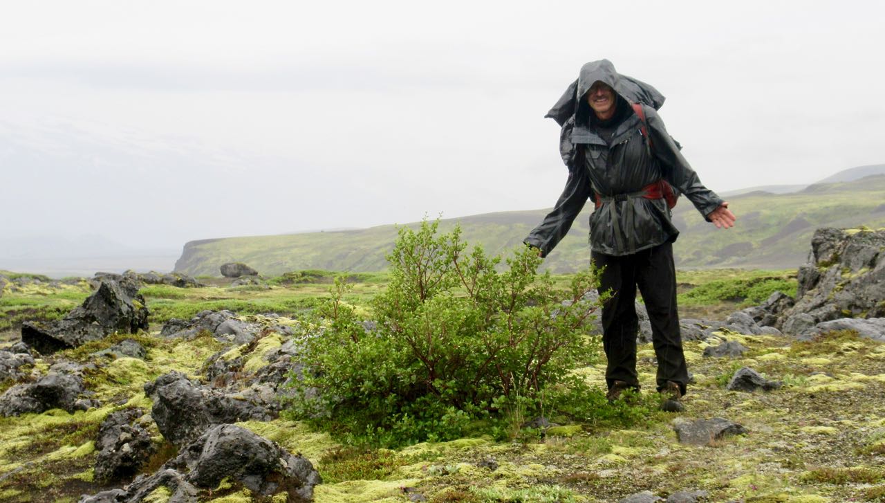
I was missing that brief bit of blue sky from yesterday. Everyone wore their rain gear today.
This is volcanic ash. Worse than sand, it gets into everything.
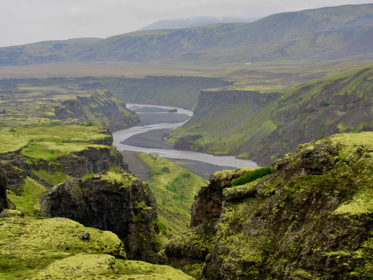
Oh my. This is amazing.
My first … tree !?
Trees are rare in Iceland. But there are plenty in Þórsmörk (Thorsmork)… Thor’s forrest.
(Iceland was actually 25% forested at one time. Timber cutting resulted in only about 1% remaining.)
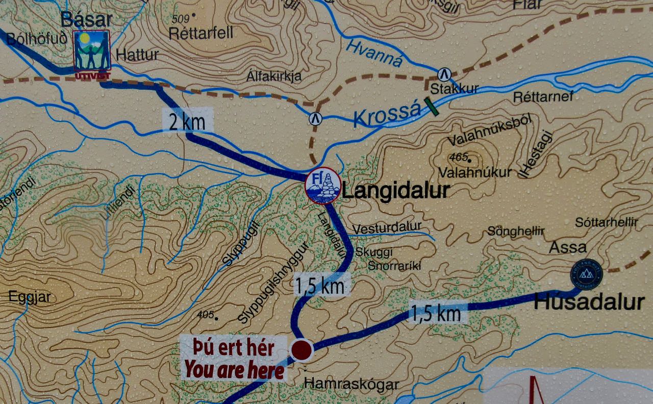
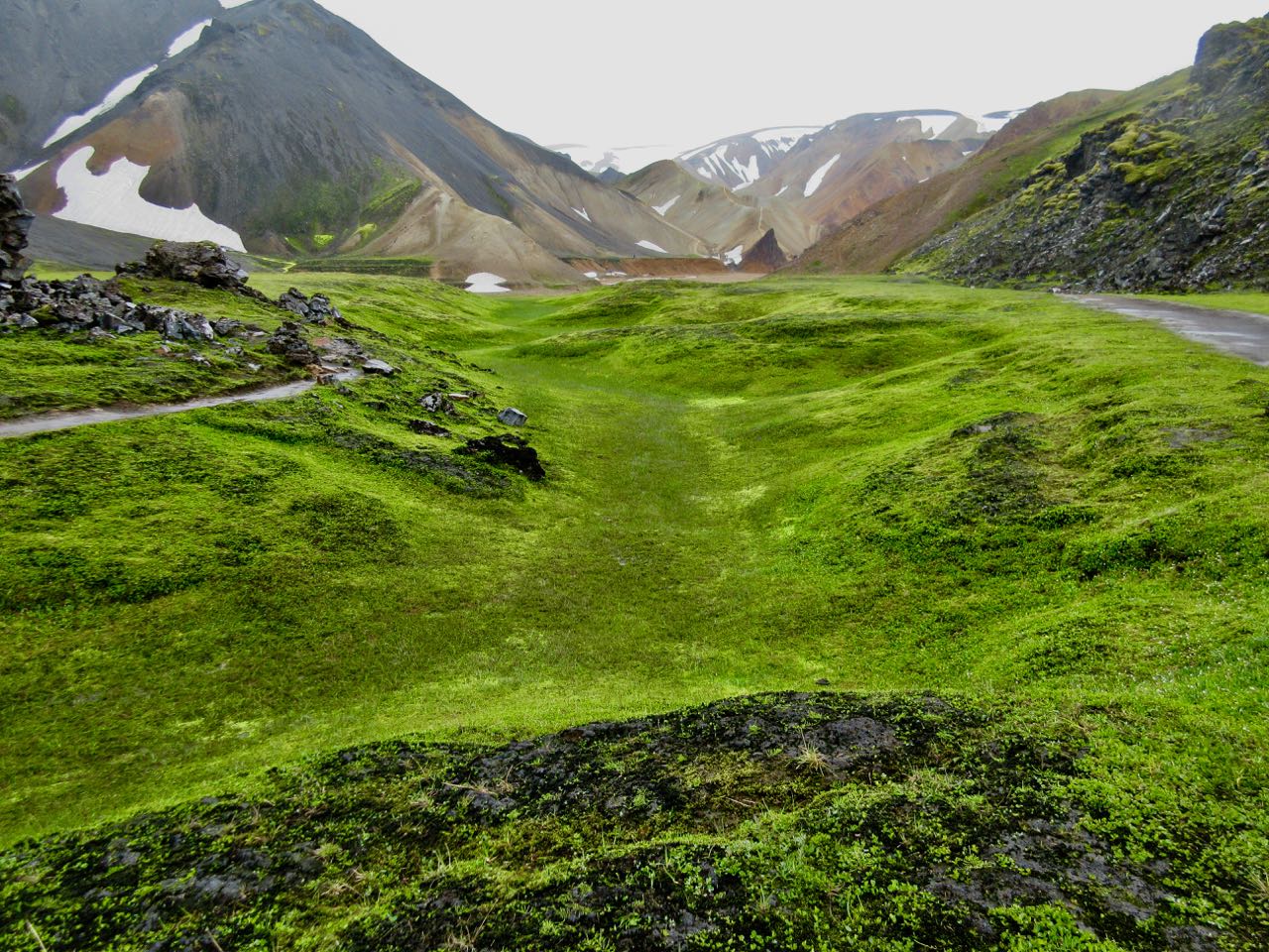
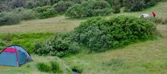
When you finally arrive Þórsmörk you need choose between 3 separated campsites: Húsadalur, Langidalur or Básar.
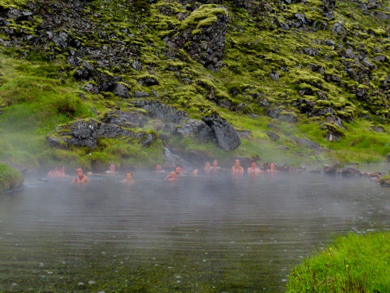
Husadalur is biggest and has a natural hot springs.
But if you plan to continue hiking next day to Skógar, Básar is the best choice. It’s closest to the exit trail for next morning.
That’s where I headed.
Langidalur is pretty, however. The tenting looks superb.
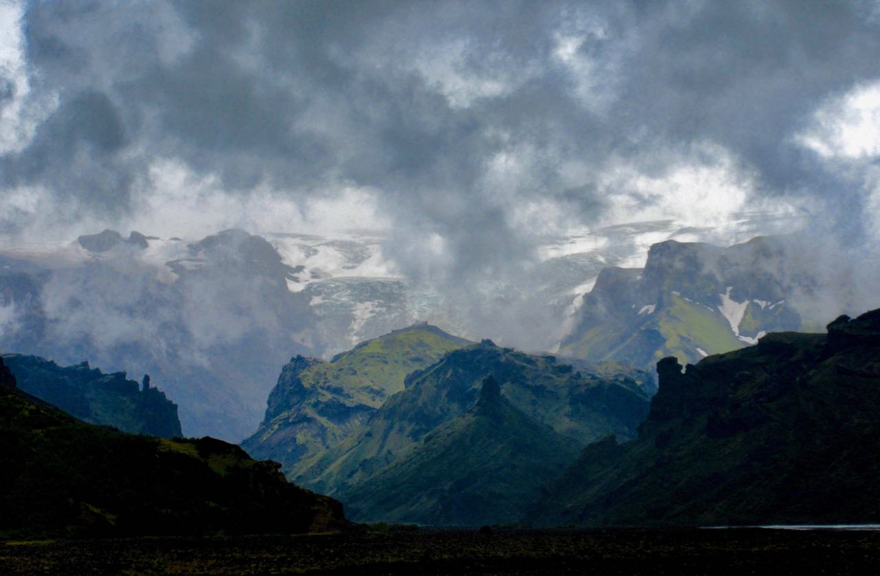
I met again two Canadian women waiting for the bus. They’d had enough of rugged Laugevagur. Here’s the vista that dissuaded them from climbing up to the glaciers next day.
It does look intimidating.
If you do decide to linger at one of the 3 campsites, there’s even more day hiking here than at Landmannalaugar
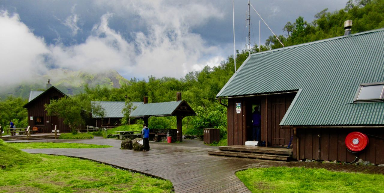
Básar is sprawling. Busy with campers and day hikers.
I asked for advice on a quiet tent spot.
While I was eating dinner Mark from Boston arrived.
He and I were the only two from the start who had made it this far, this fast. We both planned to get an early start next day and finish to Skógar. It would be the toughest and best day of all.
Though it had rained all night off and on, it hadn’t rained hard. I was optimistic poking my head outside the tent in the morning.
No go.
Recommendation from the information office was that we should stay in camp another night. Forecast for the following day was “improving“.
Sigh …
A hiker recently died on this section during a big storm.
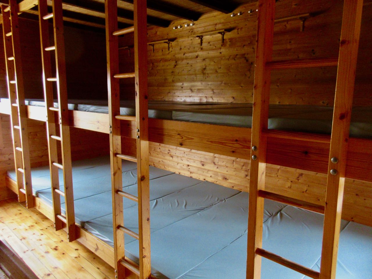
I did grab a cancellation for a spot in the 110 bed tourist hut operated by Ferdafelag Islands. (Others had booked at least 6 months in advance.)
In fact, I got in early and had my pick. Farthest from the door, against the wall. It cost $90 – no meals. The most expensive bunkbed of my life. Tenting is $20 / person.
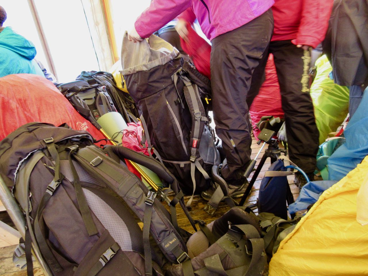
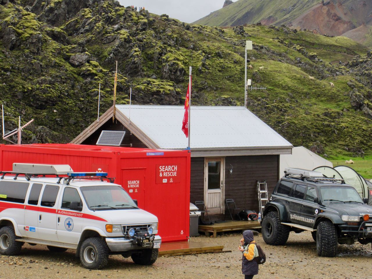
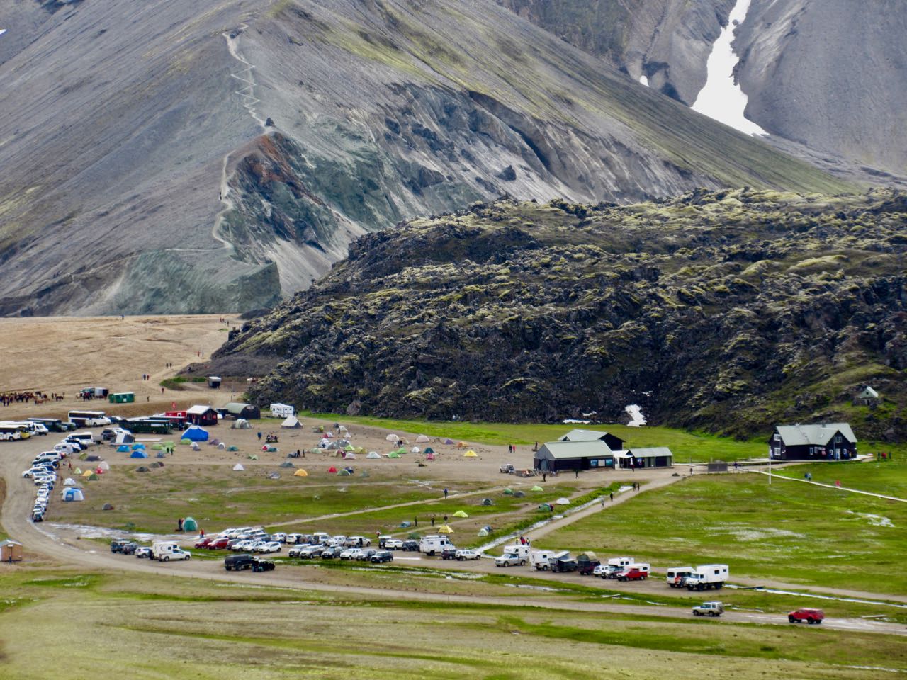
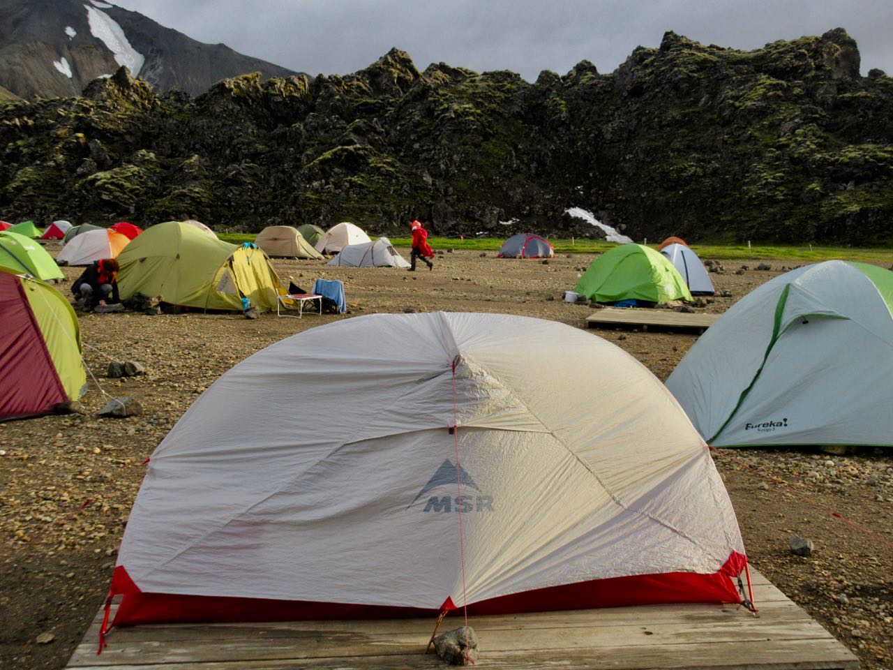
Landmannalaugar tent city was packed.
Many — including me — heeded the advice that we should stay. As day hikers rolled in it got more and more crowded.
At the time I trusted the advice. They know a lot about alpine rescue here.
So … a lazy day to read my book. Take a nap. And, of course, do the rest of the local day hikes.
I made my own routes including parts of the Sulphur Wave trail (towards Brennisteinsalda). Wandered the Laugahraun lava fields. I climbed part way up Blue Peak (Bláhnjúkur).
The weather never really got any worse.
In fact, this was some of my best hiking of the trip.
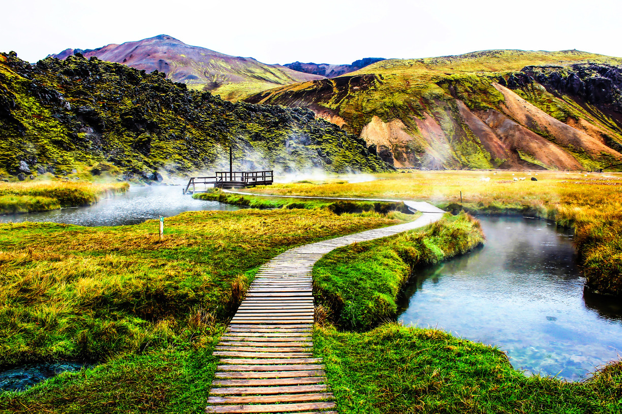
I enjoyed another hot springs soak, of course.
And hung out in the cook tent as late as possible. Before climbing into my warm, comfortable bunkbed. Those out in tents were getting soaked.
I bought my fuel at Iceland Camping Equipment in Reykjavík. It’s VERY expensive.
Later I learned that every hostel and campsite has plenty of free fuel canisters left behind by foreign hikers who will soon fly out.
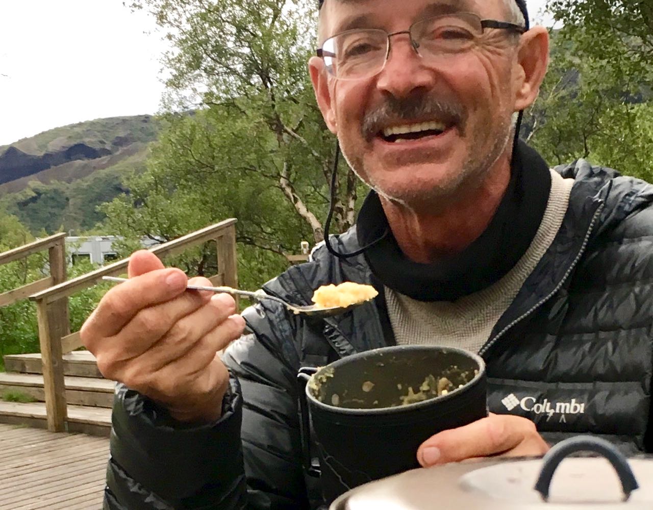
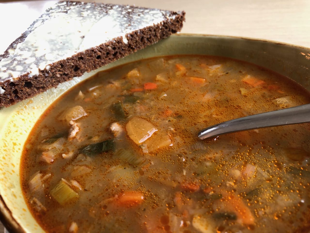
I enjoyed my last restaurant meal – traditional Icelandic meat soup.
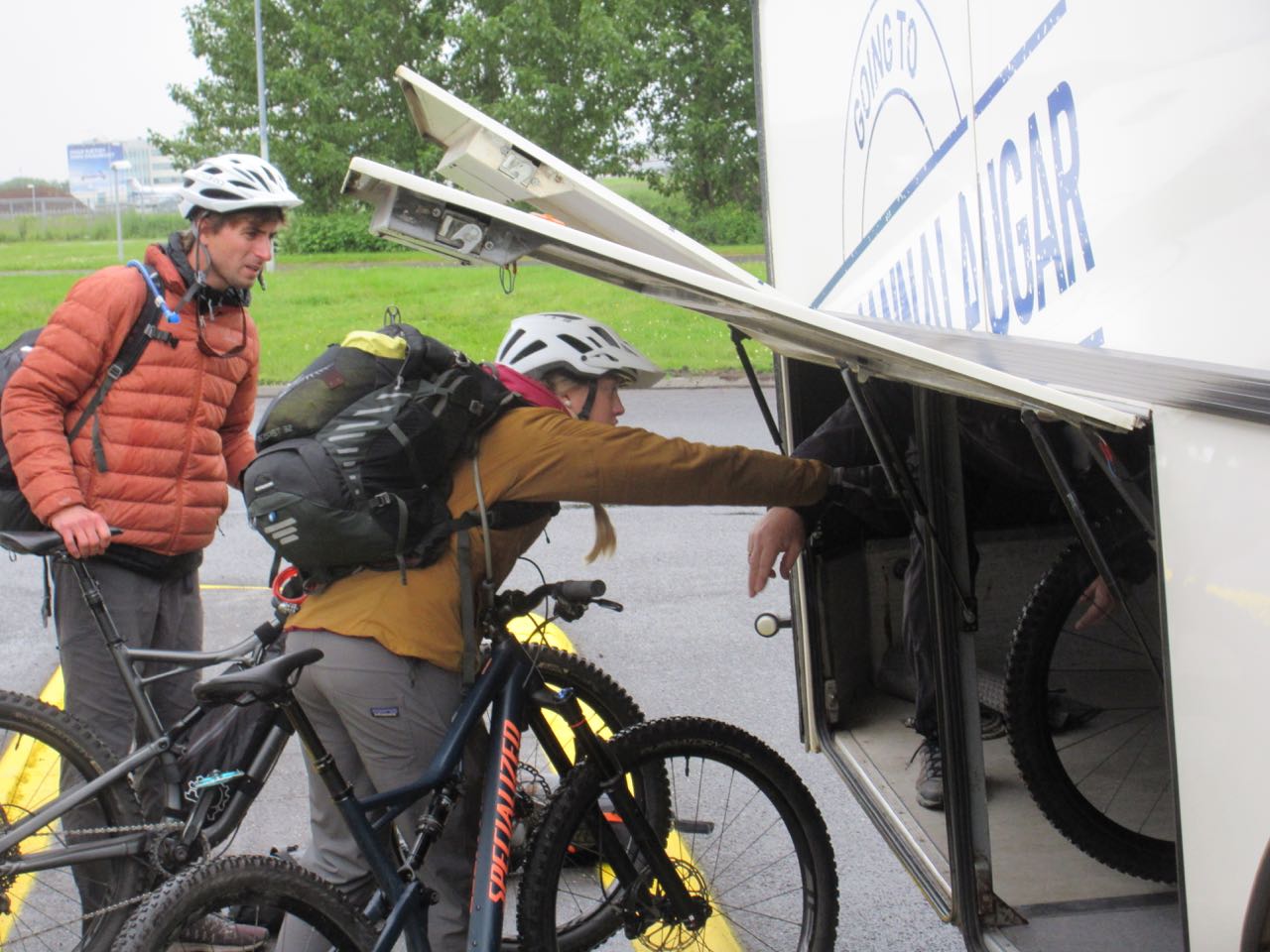
There are a number of ways to get to Landmannalaugar. Reykavik Expeditions and TREX are the two biggest bus services.
I went early to catch the 4pm bus. … Last bus leaves at 1pm. Never believe anything you read on the internet.
click for bigger map
Next morning I was surprised to see young people from Alaska loading bikes. I’d not heard of people cycling Laugevagur. Turns out it’s a bad idea.
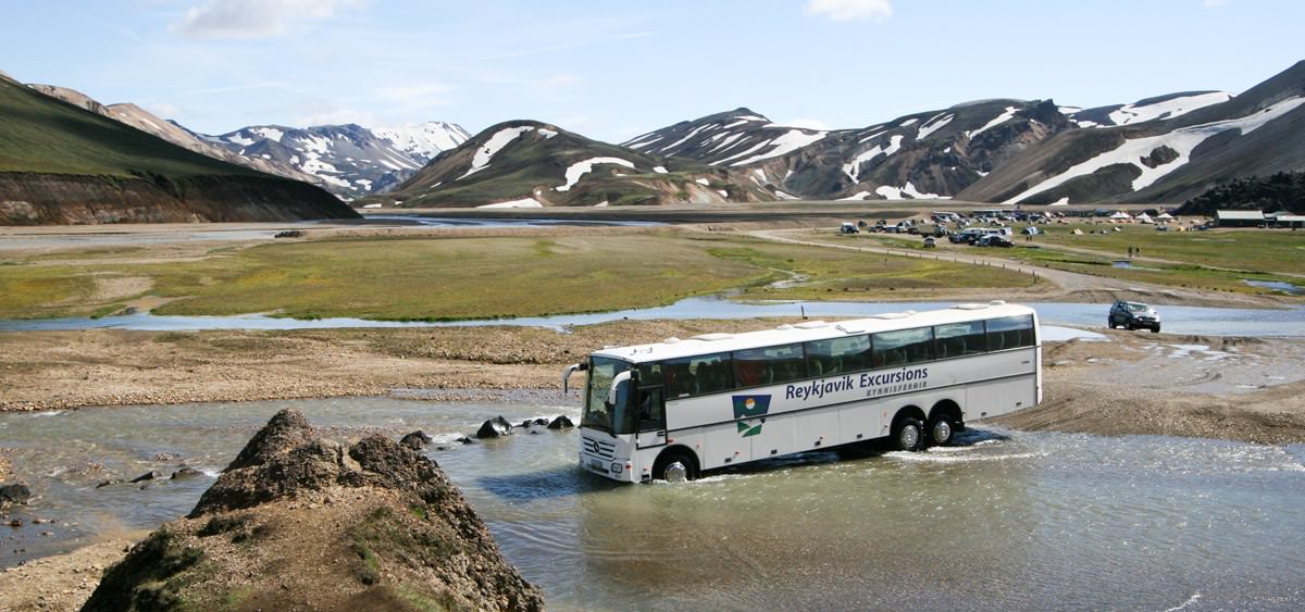
Reykjavík to Landmannalaugar is about 4 hours … if you don’t get stuck.
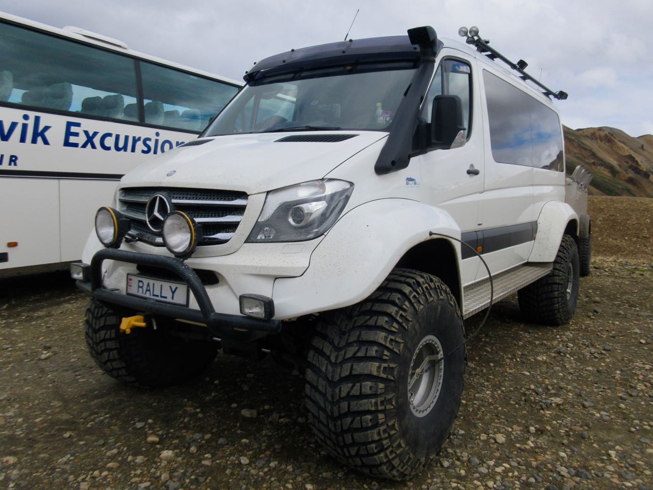
It would be FUN to drive your own rental monster truck.
Landmannalaugar is a sprawling mess of a campsite.
While the rest of the world was suffering a heat wave, Iceland has had the worst summer weather in recorded history (100 years).
Forecast was not good. We worried whether or not we’d be able to attempt the hike.
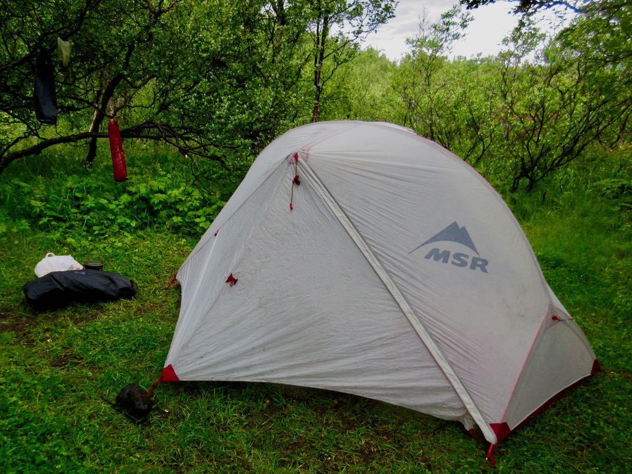
I put my Hubba up on a platform in case of flood during the night.
At the information office you can buy a crappy day hiking map for about $3.
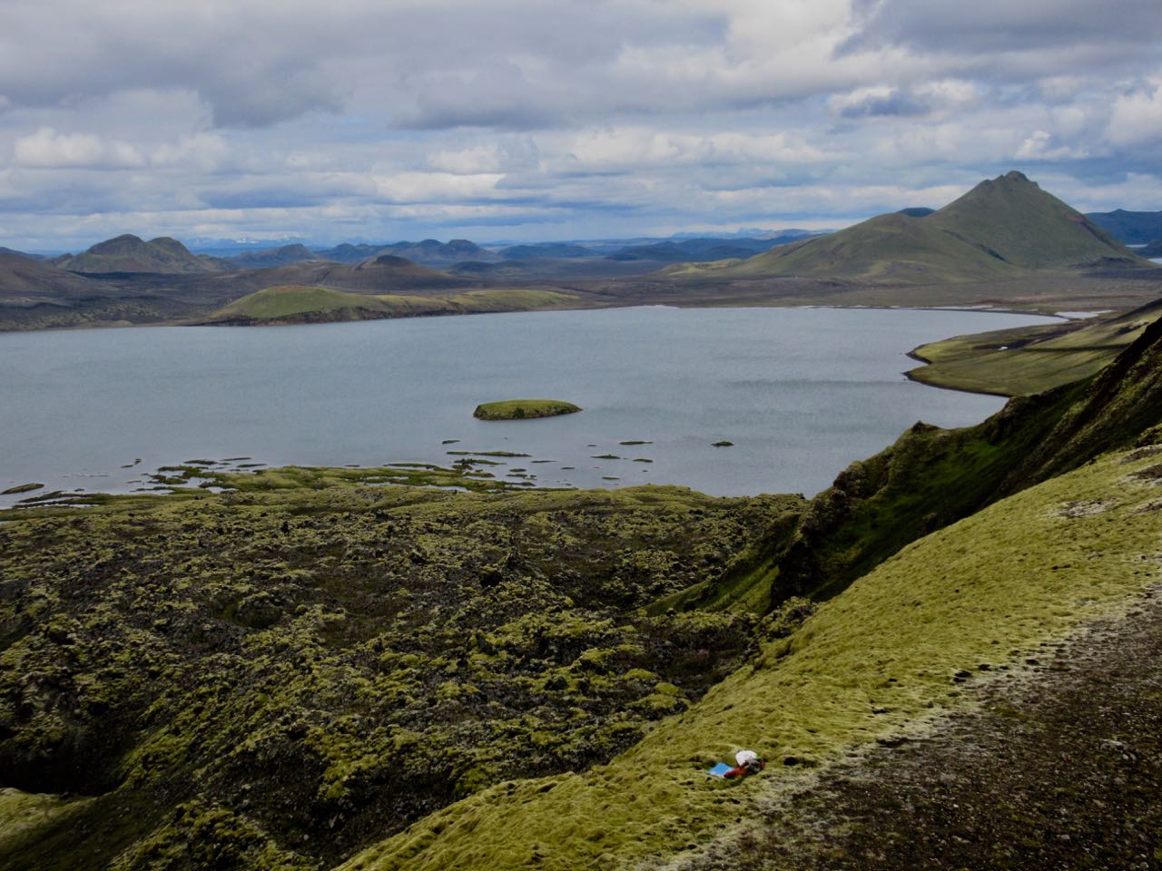
Most recommended is the Suournamur loop (about 9km). I first took a detour up the Ljiotipollur ‘Ugly Puddle’ trail and found myself this lookout for lunch. Ljiotipollur is an explosion crater lake.
If you find any trail crowded in Iceland, you only need walk a few minutes on any side trail to feel like you have the island to yourself.
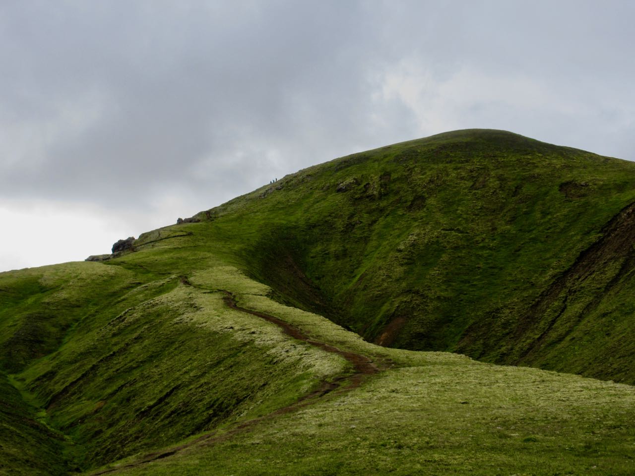
Suournamurtrail is gorgeous. It climbs up above the campsite.
The United States is home to over 1,661 known thermal springs across the country. Some are far too hot to soak, others have been turned into weekend wellness resorts that will melt your worries away while others have been left “au natural” — tucked away in nature.
Because hot springs are a product of geothermal heat, they are often found in areas with unique geological locations. Most hot springs in the U.S. are found west of the Colorado Rockies. Tucked away at the base of snow-capped mountains, among acres of protected forest, perched above whitewater rivers or set in the middle of grassy plains, hot springs are defined by the landscapes that surround them.
So how do hikers go about finding these hot springs?
While locations that have been turned into weekend resort getaways are easy to locate with a local director GPS on your phone, more remote locations are not. From California to Colorado and even farther north, hikers can use this guide to help plan their road trip and scout out some of the best and off-the-beaten-path-soaks in the Western U.S.
Click over to this page for Google map links for each destination.


