Opened on 19 March 2026 by King Charles III, the trail extends for 2,689 miles (4,328 km).
Existing coastal trails in England will be incorporated into the King Charles III England Coast Path. Signage along the whole route now falls to a uniform design:
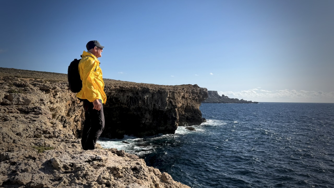
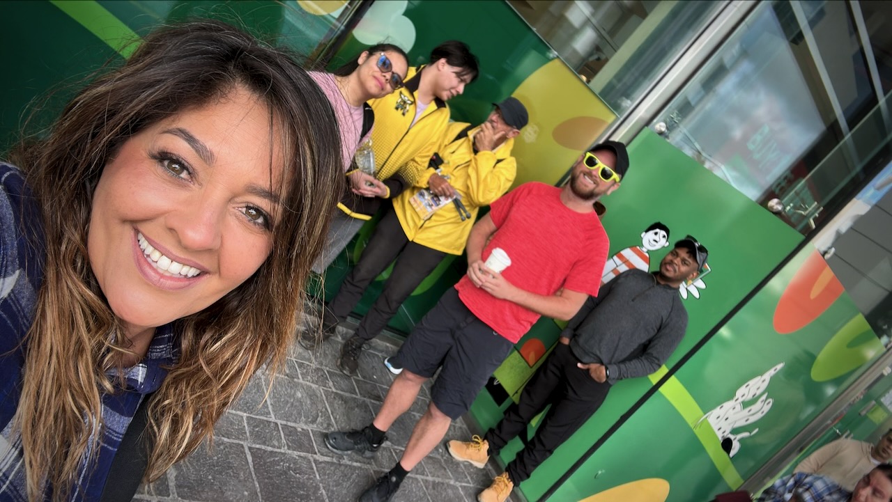
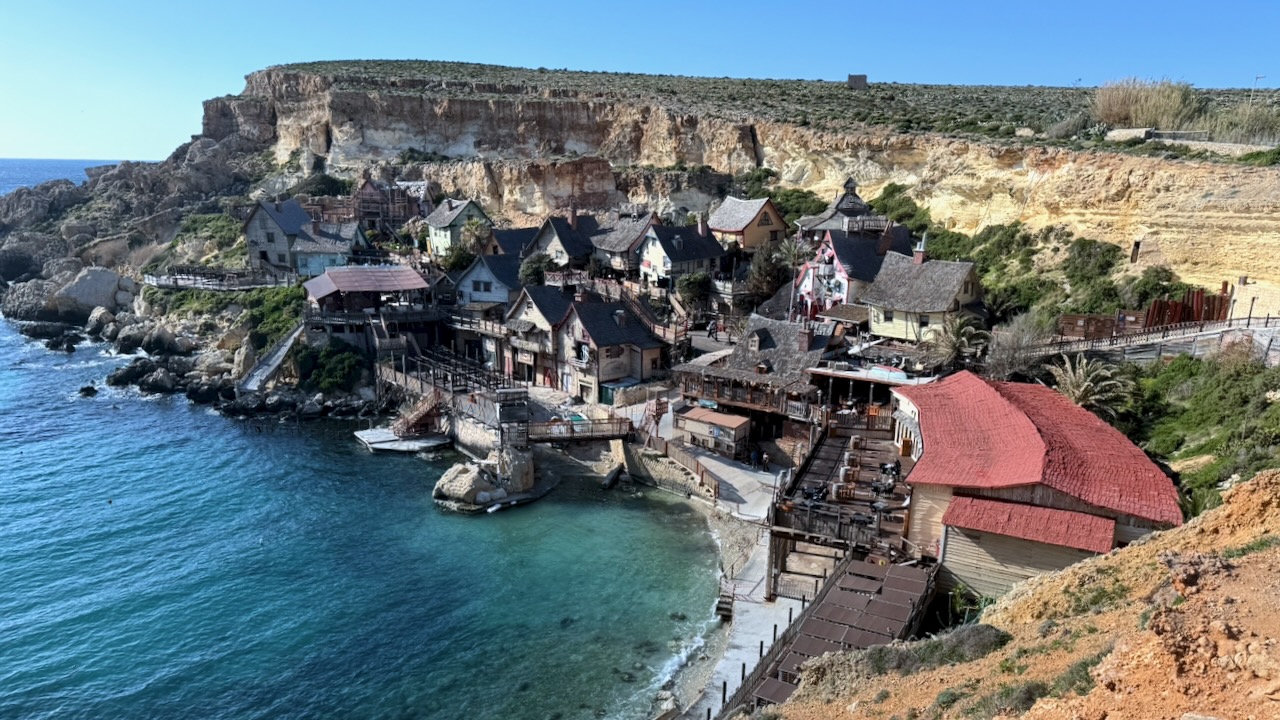
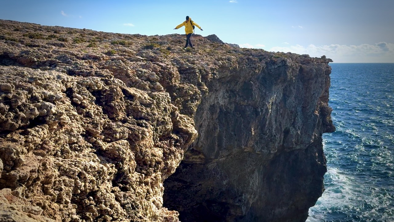
Opting not to join the tourists down there, we instead headed out on what Google Maps calls the Popeye cliffs.
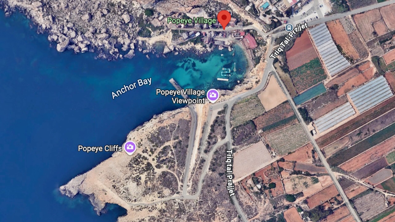
Screenshot
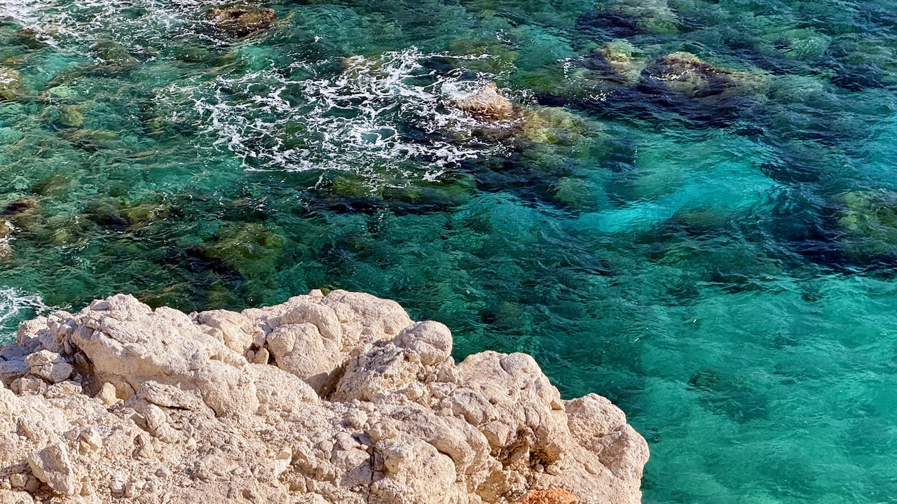
The ocean clear and gorgeous.
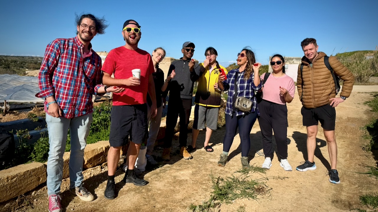
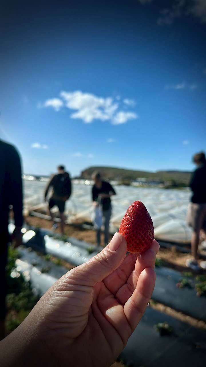
From there you have many options. Our volunteer guide, Paty, took us along the cliffs for some kilometres, then inland where we stopped to tour an impressive farm.
Most of Malta’s food is imported — but they grow terrific strawberries.
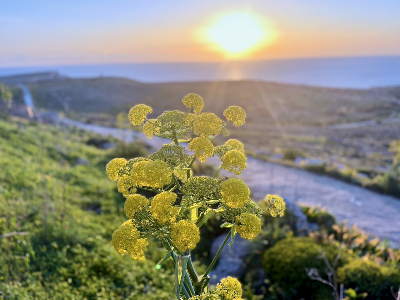
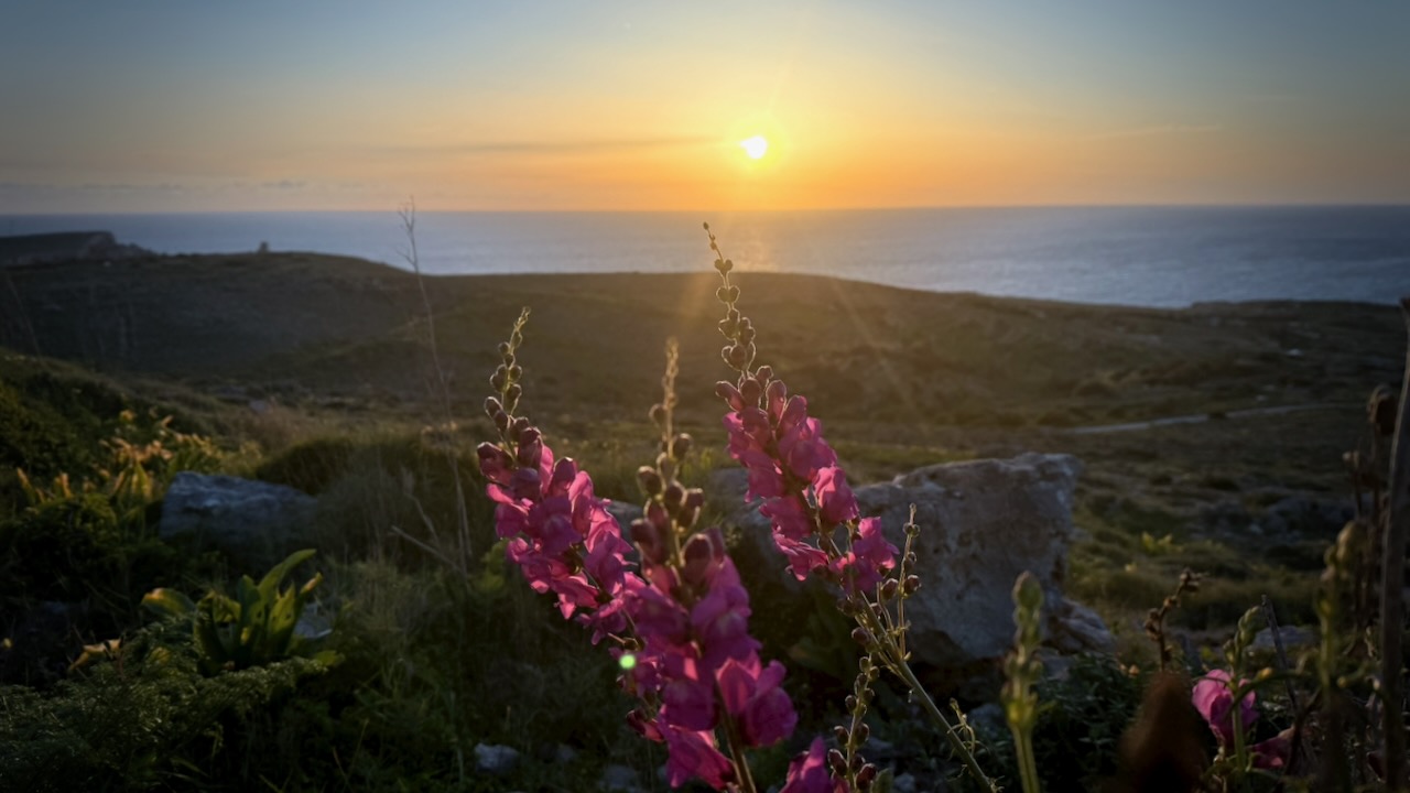
Malta is one of the the most densely populated nations on earth. These cliffs are one place you can get away from people.
It’s densely populated with tourists and retiree expats, as well. 😀
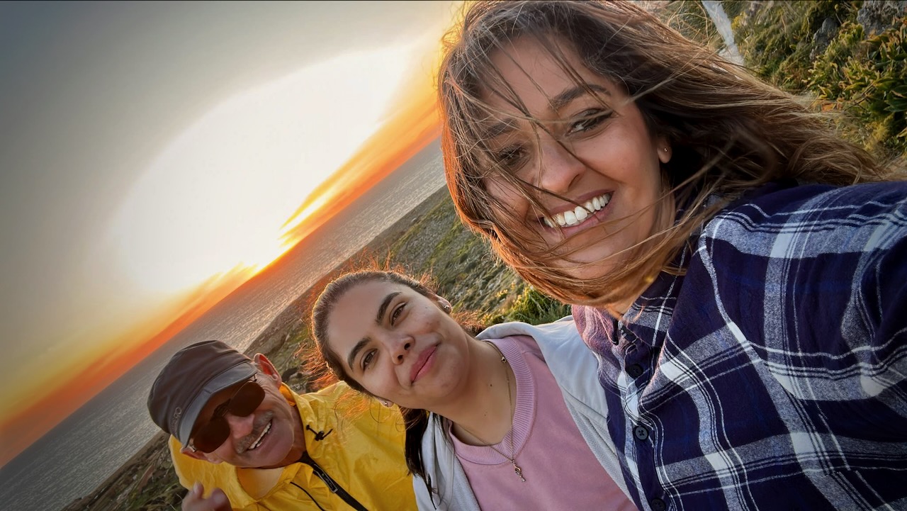
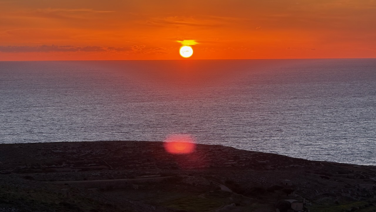
Our group split at this point. I stayed with Paty for the beautiful sunset.
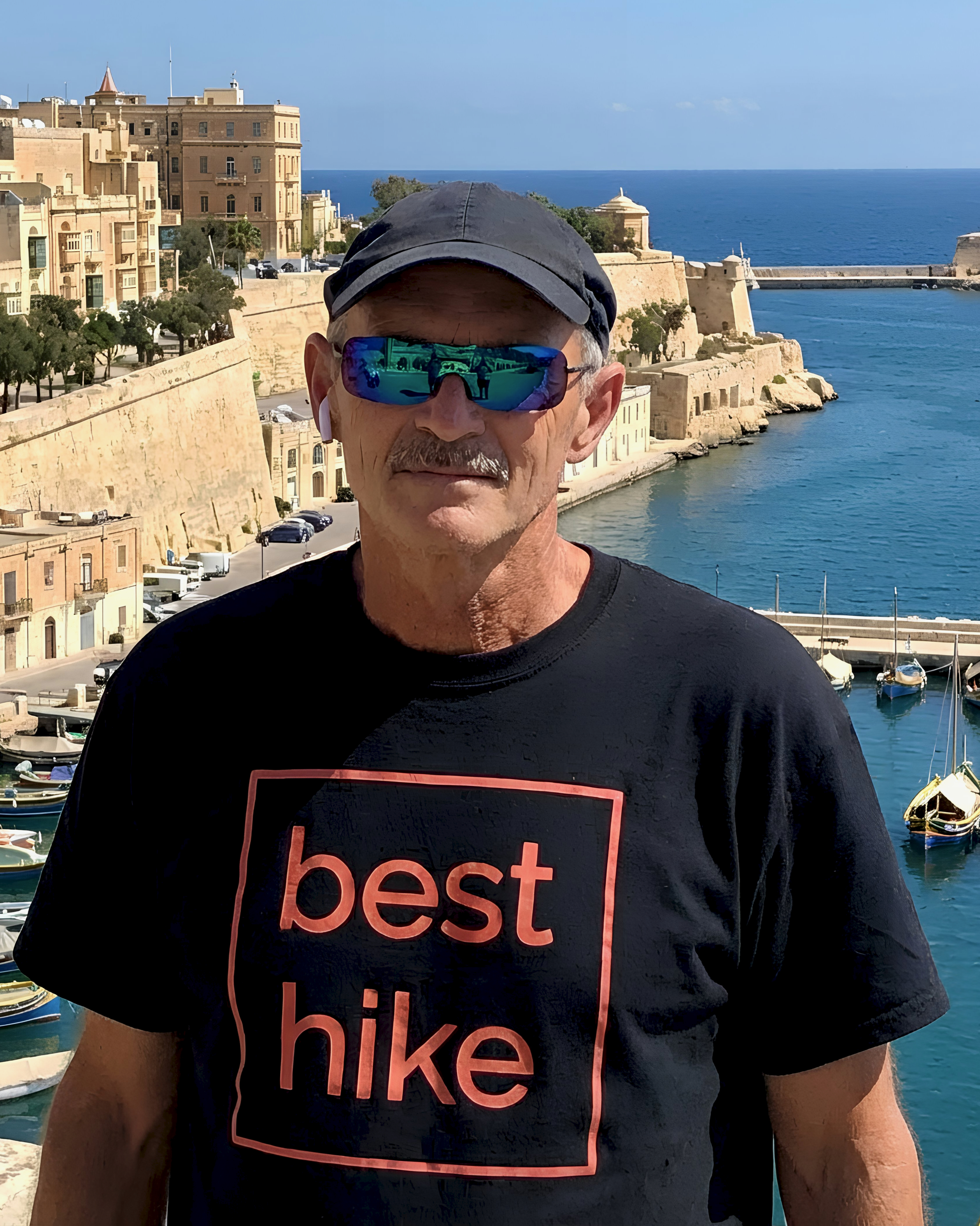
No photo editing.
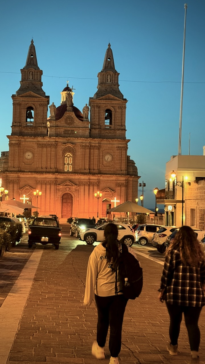
We then continued to the town of Mellieha to see the Church of Paris. Service was in progress.
Finally, to the nearby Miraculous Grotto. An underground natural cave which was consecrated as a church at some point in distant history. According to tradition, the cave was originally a place of worship for the nymphCalypso, but it became a Christian site after St Paul‘s shipwreck on Malta in 60 AD.
It was back to the hostel by 9pm. The other half of our group had finished earlier, carrying on at the popular hostel Bar.
The other Canadian on the trip, age-19, was learning about hostel party life.