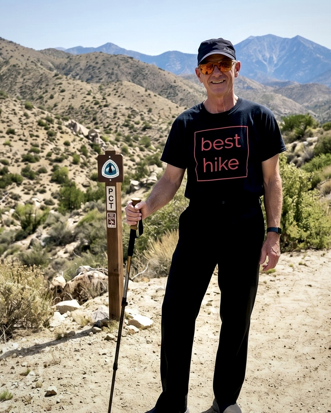
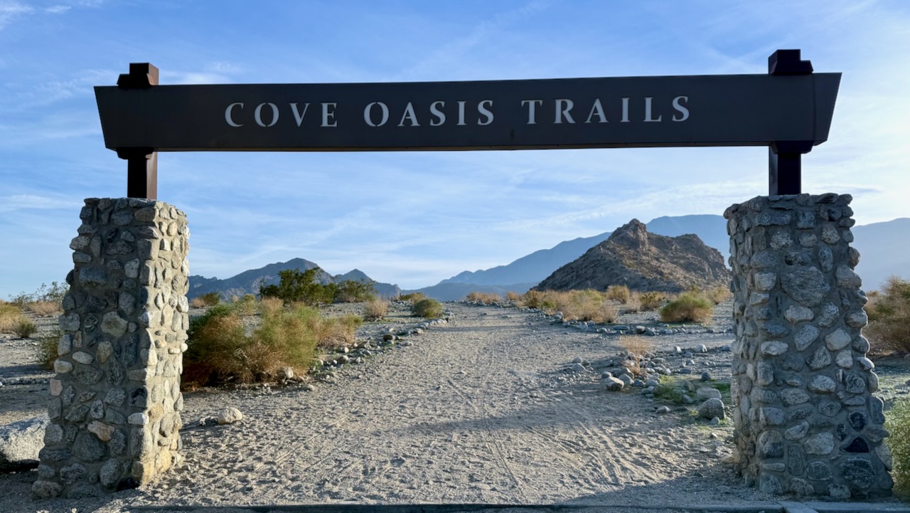
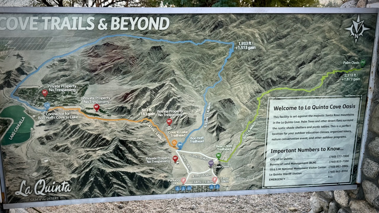
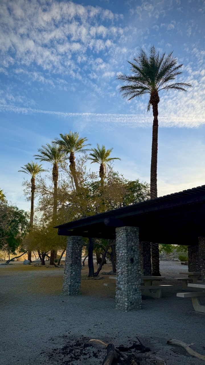
by BestHike editor Rick McCharles
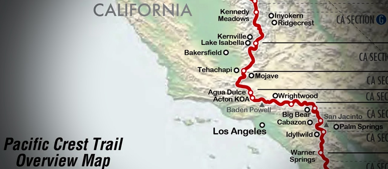
I have a PERMIT for 523.0 miles from Idyllwild to Kennedy Meadows South in California.
Starting May 26, 2026.
I’m hoping to survive for at least 14 days of that. 😀
GEAR should be as light as possible.
Of course there will be resupply food and plenty of water to carry, as well.
For this particular adventure, my priorities are …
- Staying Hydrated
- Foot Care
- Avoiding Heat Emergencies
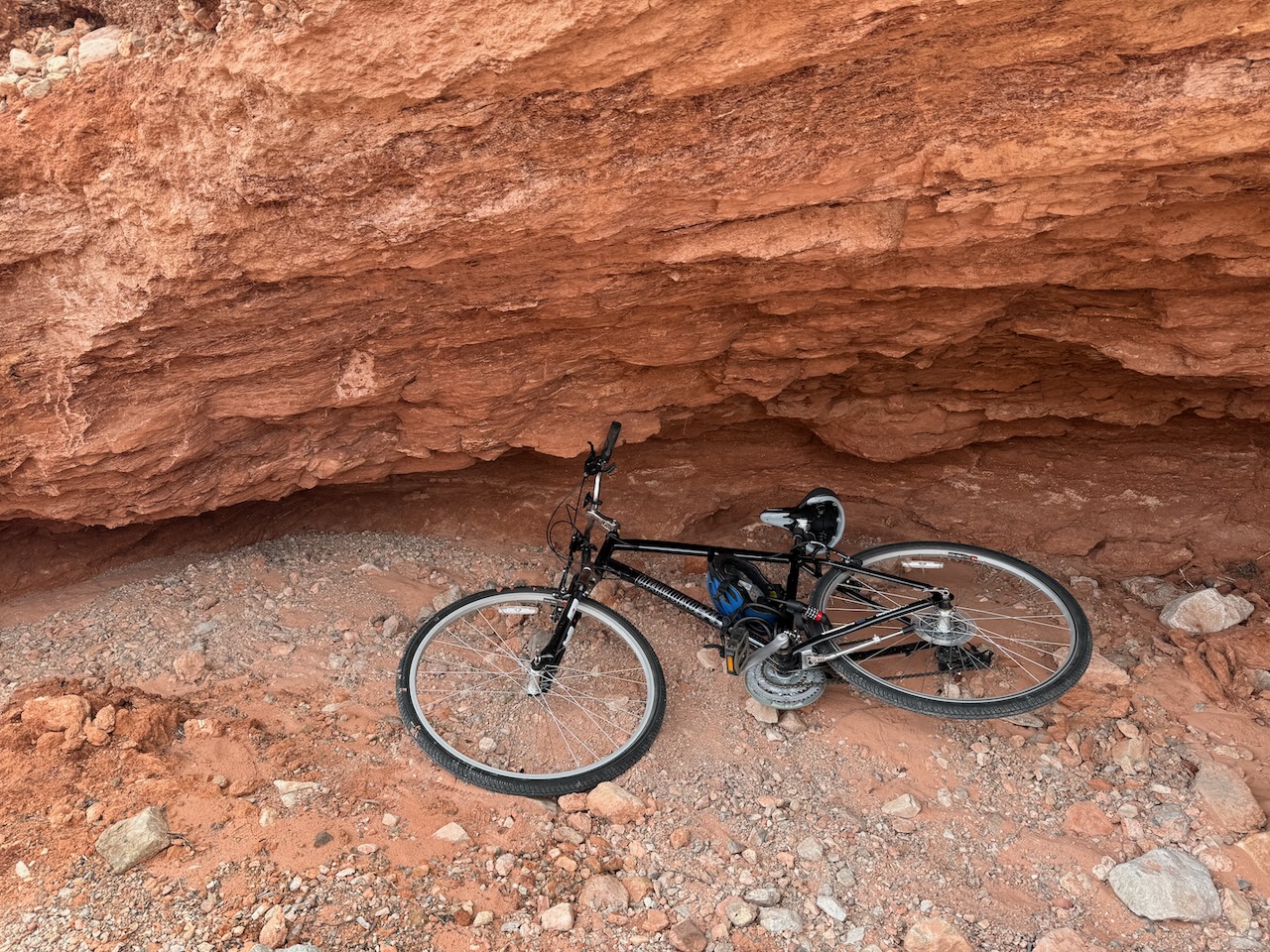
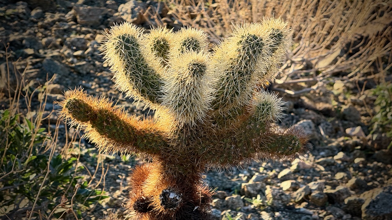
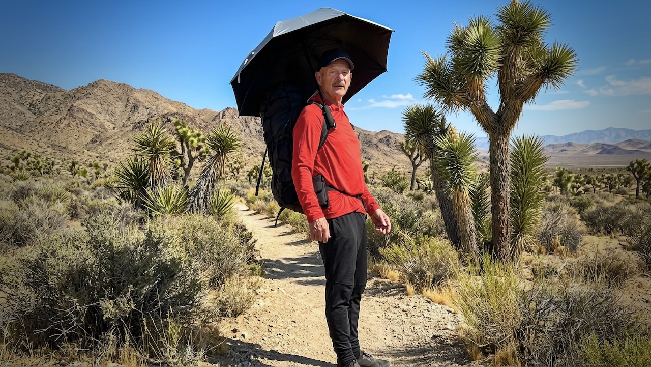
I’m trying a hiking umbrella for the first time. Plan to switch between shoes & socks several times each day. I once had to quit another section of the PCT due to blisters.
Sleeping
- MSR Hubba NX Tent
- 2x NeoAir UberLite Sleeping Pads (one is a pillow)
- Mattress Glue
- Enlightened Equipment Revelation Quilt
Walking
- Hyperlite Unbound 55 Backpack
- Iceline Trekking Poles
Clothing
- Janji Transit Tech Pant
- Janji 5 inch Running Shorts
- Red Sun Hoodie
- Swift Ultra Light Cap
- Swift Ulta Light Cap (long brim)
- Wool Blend t-shirt
- North Ridge Wool t-shirt blue
- red Nike quick dry t-shirt
- Hiking Shoe 1 – Altra & Altra Gaiters
- Hiking Shoe 2 – New Balance
- Socks wool – medium x 2 Danish Endurance
- Sock liners wool – medium x 3 Danish Endurance
- Injinji Toe Socks x 1
- Running Shorts x 3
- Black summer Buff
- Canadian flag Buff
- Clip-on Sunglasses
- Frogg Toggs Rain Jacket
- Helly Hansen Red Hooded Puffy
Eating & Drinking
- PocketRocket Deluxe Stove
- Fuel
- Long lighters x 2
- Titan Kettle
- Pot scrubber
- GSI mug / bowl
- Metal Spoon
- Microfibre cloth for clean-ups
- Water Bottles (up to 8 litres)
- Sawyer Squeeze Water Filter
- Water Purification Tablets – Package of 30
- Fabric Grocery Bag
Electronics
- Red Stuff Sack
- iPhone 16 Pro & cable
- FarOut PCT app (navigation)
- EarPods & cable
- iPhone 17 Pro Max & cable (camera)
- ULANZI MT-33 Phone Tripod
- USB-C storage for phone
- Neo 2 Drone
- Powerbanks x 2
Ditty Bag
- Green Stuff sack
- Fingernail clippers
- Toothbrush & Toothpaste
- Tweezers (ticks)
- Prescriptions
- Aspirin
- Antacid
- Vitamin Gummies
- Creatine Gummies
- Sunscreen
- Alcohol Gel
- Wilderness Wipes
- Toilet Paper
- Bandaids
- Denture tablets & Case
- Duct tape
- Athletic tape
Other
- Hip Pack
- 2 Credit cards & bank card
- Cash
- 16L Matador ReFraction Packable Backpack
- Six Moon Designs – Silver Shadow Carbon Trekking Umbrella
- Gossamer Gear – Handsfree Umbrella Clamp
- AirTags
- Waterproof Passport Case & Passport
- Paper Maps
- Garbage Bag (green for dirties)
- Garbage Bag (clear for clean)
- 55 Gallon Garden Trash Bag (pack liner)
Food
- Flash Frozen Meals x 10 to start
- Cashews
- Coffee
- Tea
- Spice flavouring
- Protein Bars x 8
- Smoked Cheddar
- Raisins
- Dried Mango