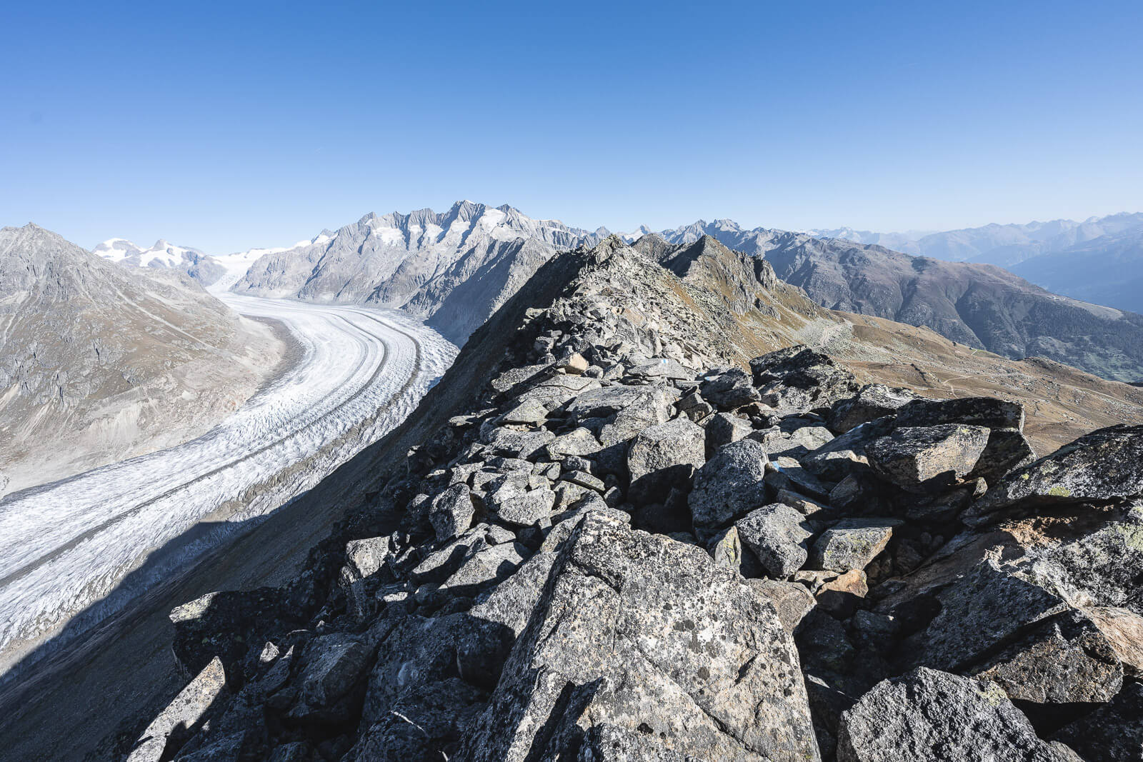
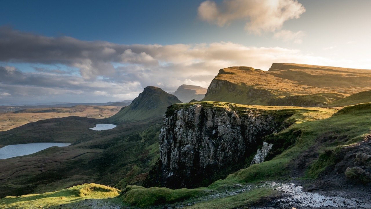
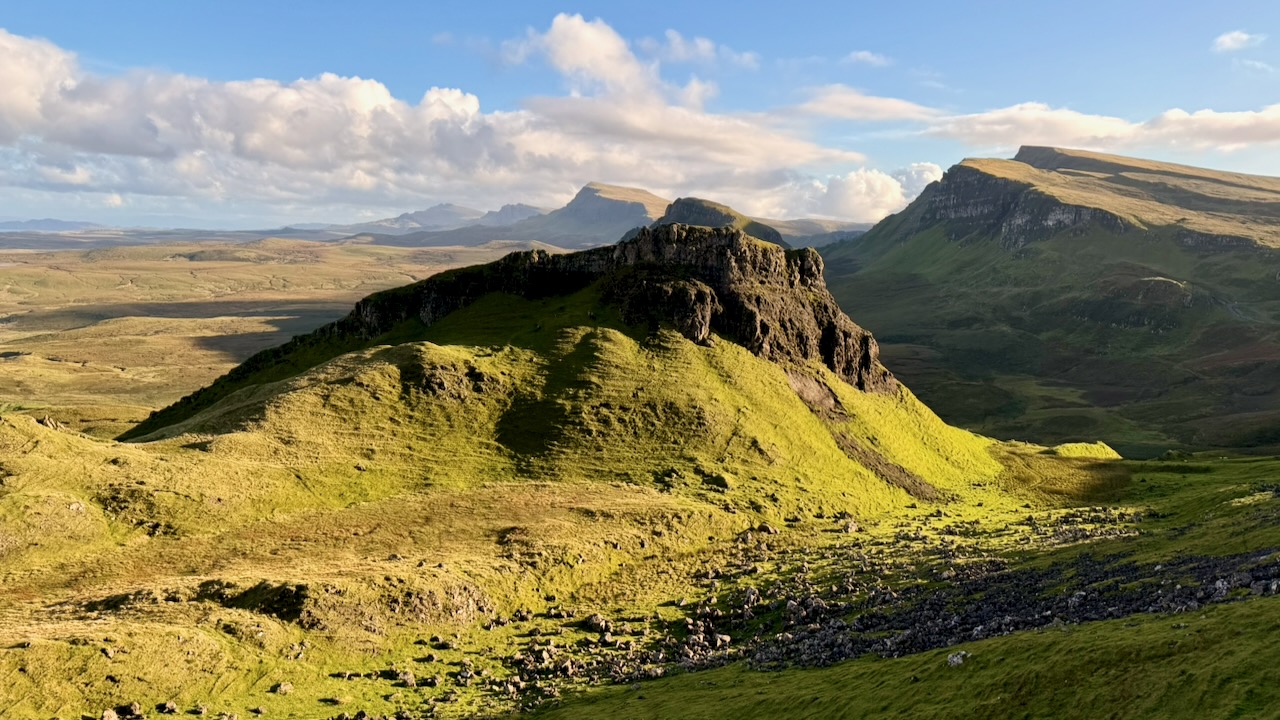
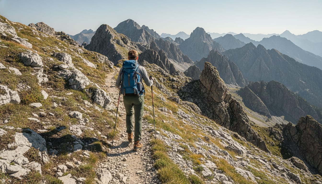
This looks something similar to our favourite day hike in the world, Harder Ridge, Switzerland.
The UNESCO High Altitude Ridge Trail in the Aletsch Arena is an epic adventure for those with a good head for heights and comfortable scrambling up bare rocks.
The views of the Aletsch Glacier are simply stunning and the trail, although challenging, is fun. …
It’s a simple loop ➙ half walking under the ridge. Half on top. About 7km return.
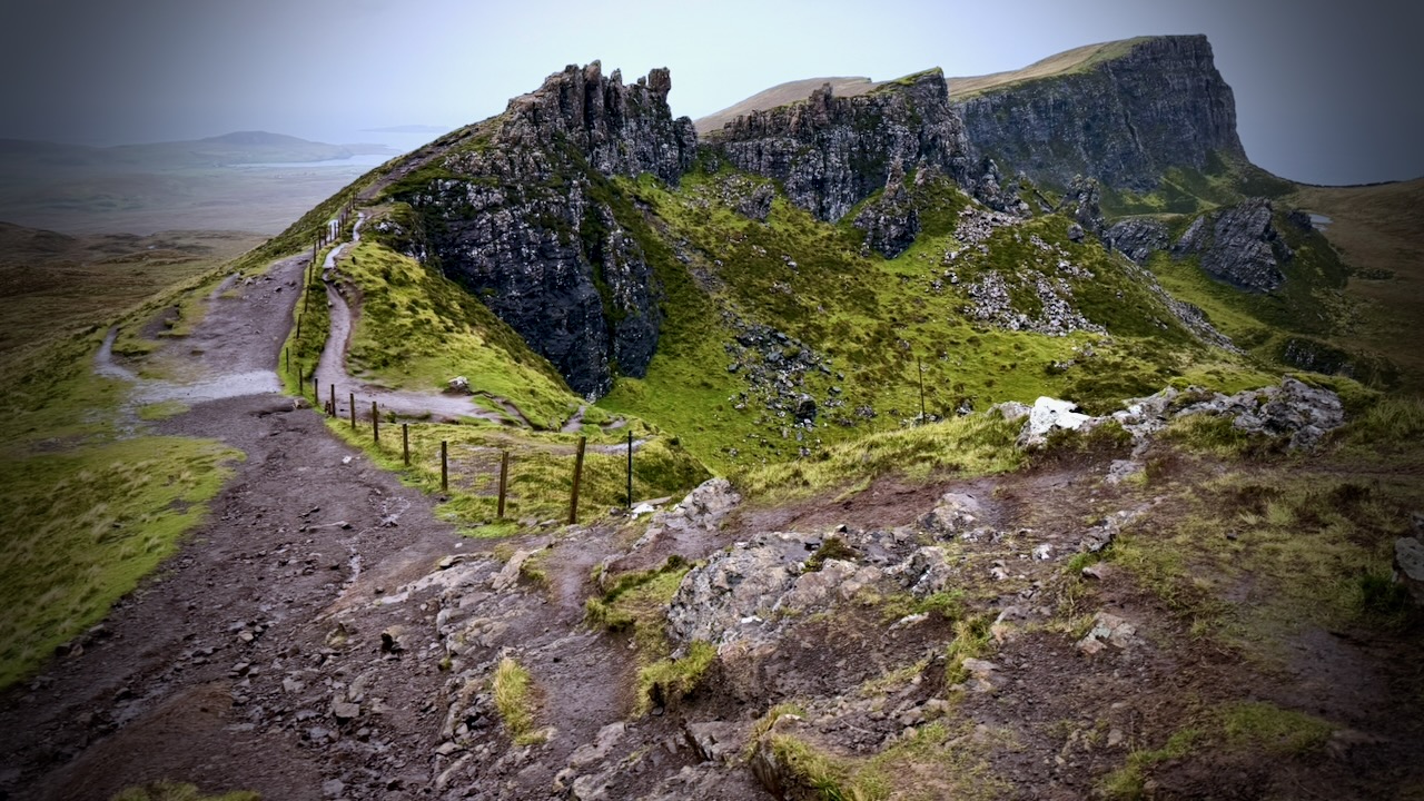
I opted to start under the ridge, planning to tent somewhere en route. I correctly figured it would be more sheltered for tenting.
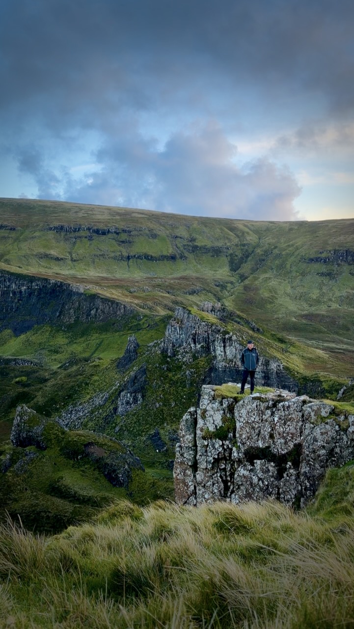
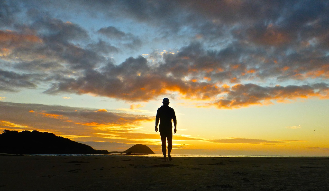
Later in the afternoon, I got some terrific light.
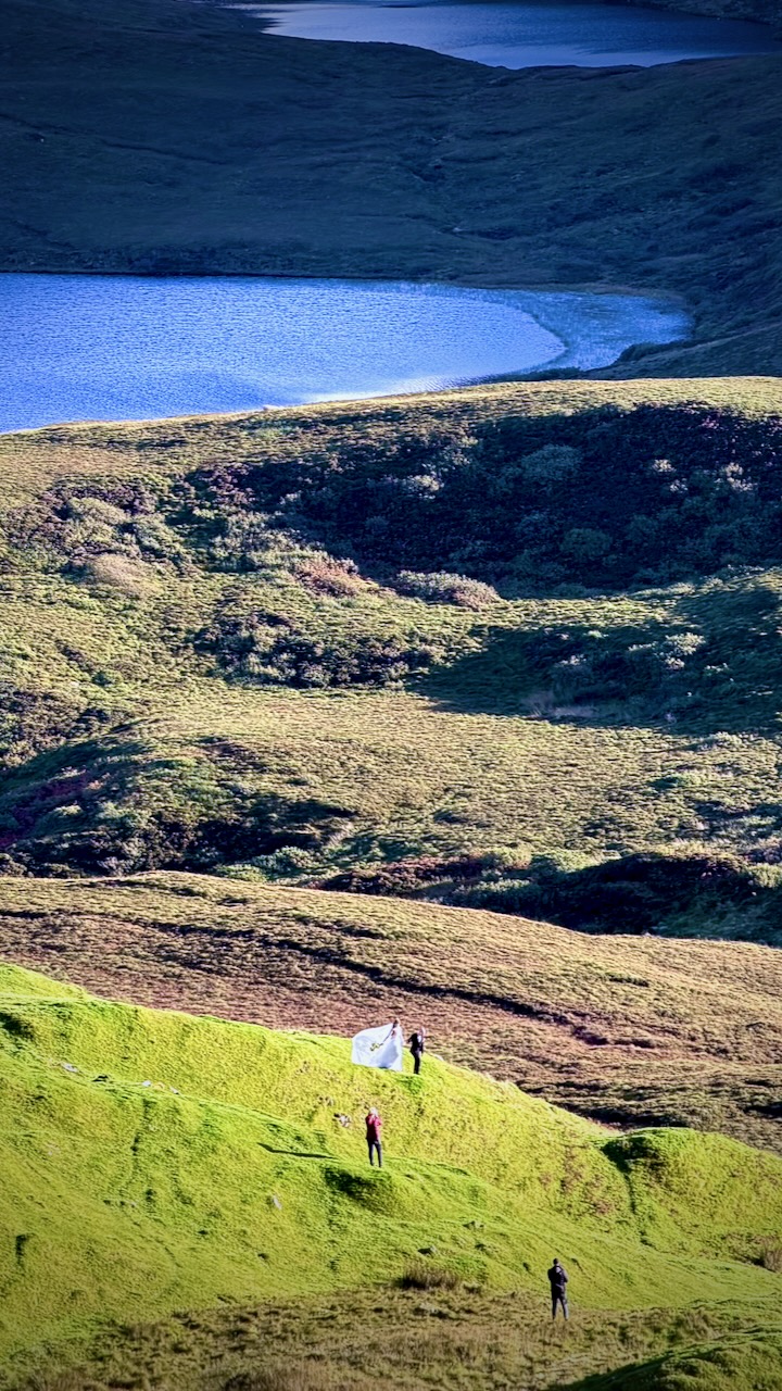
This wedding photographer picked the perfect day and time.
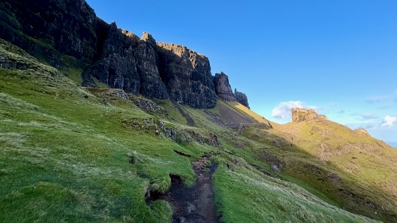
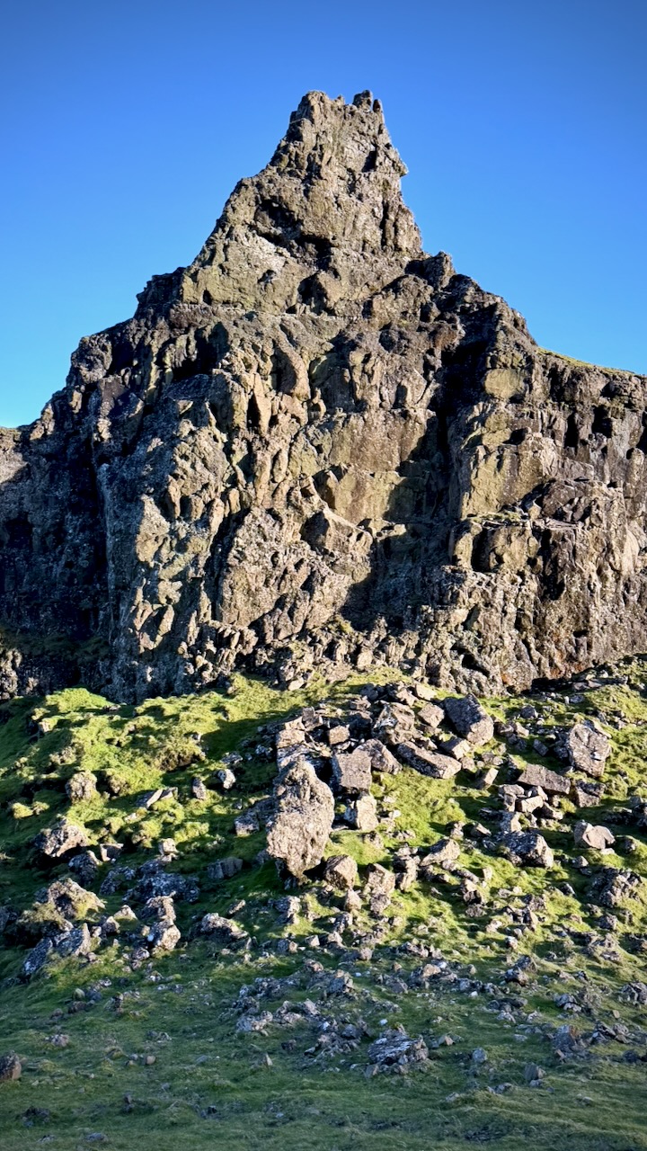
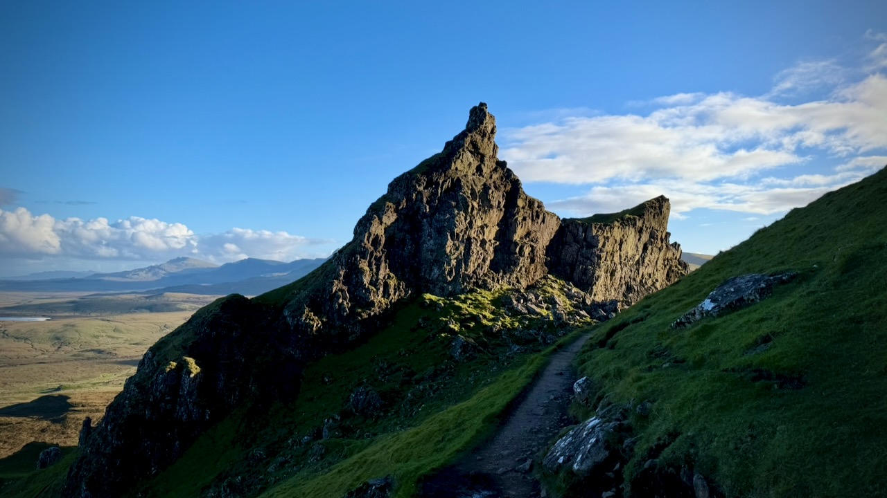
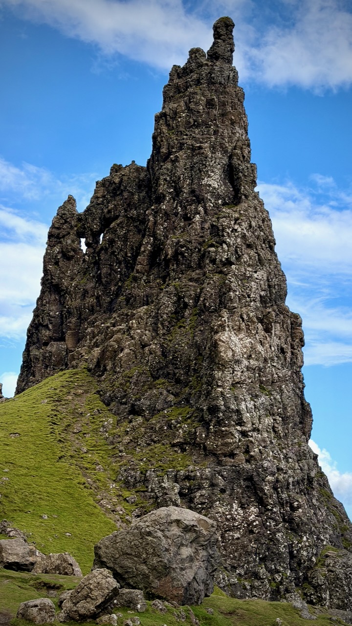
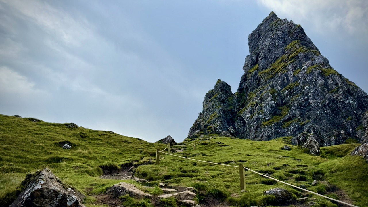
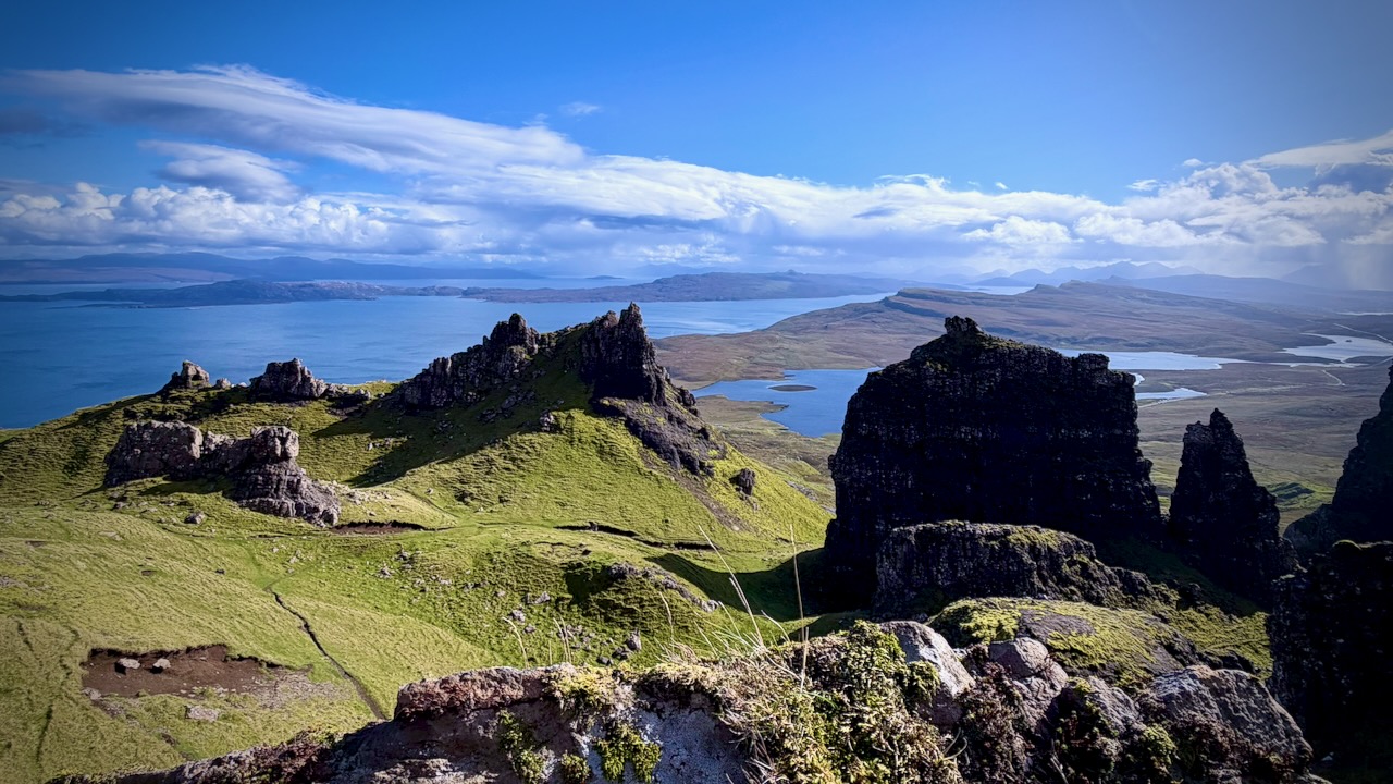
This beastly spire is part of the section known as the Prison.
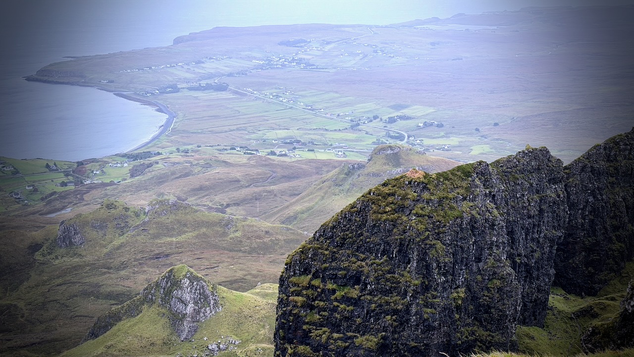
I found a spot for my tent — but climbed up to explore whether or not I might like a cliff edge vista.
Majestic views, but too exposed.
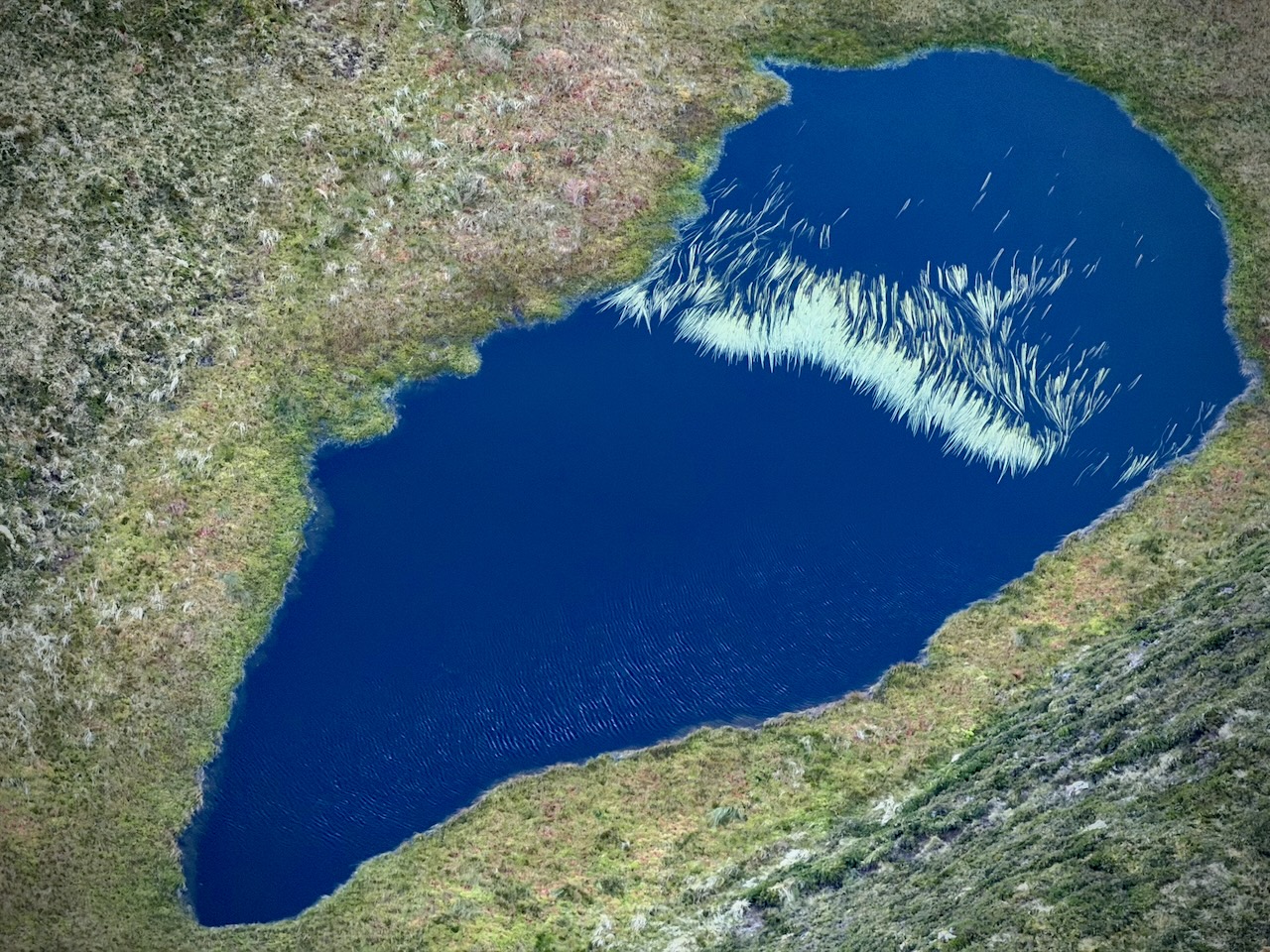
Bizarre pond down below.
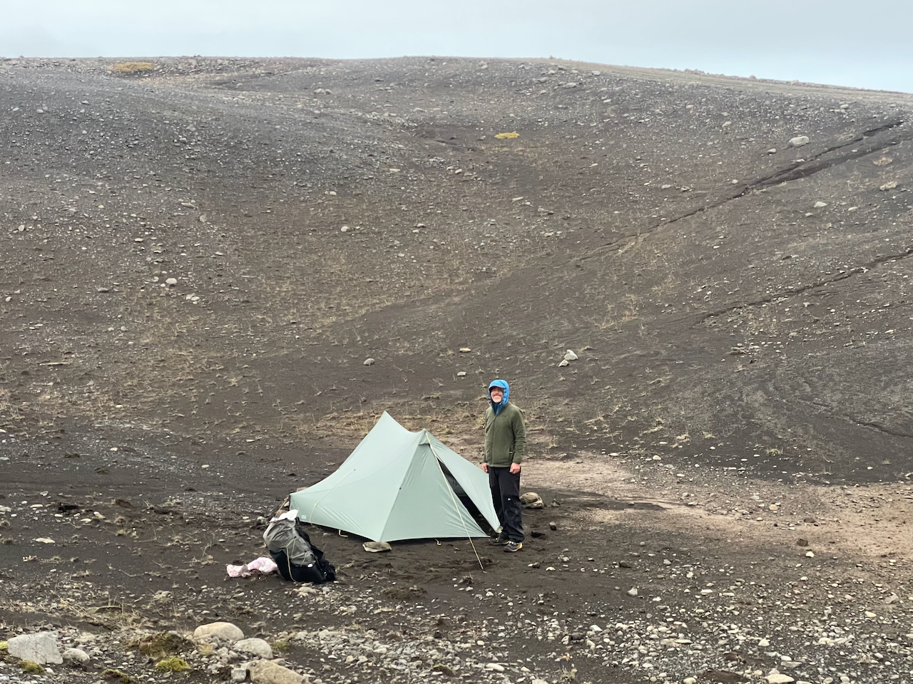
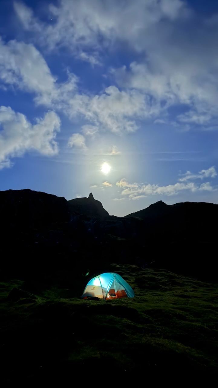
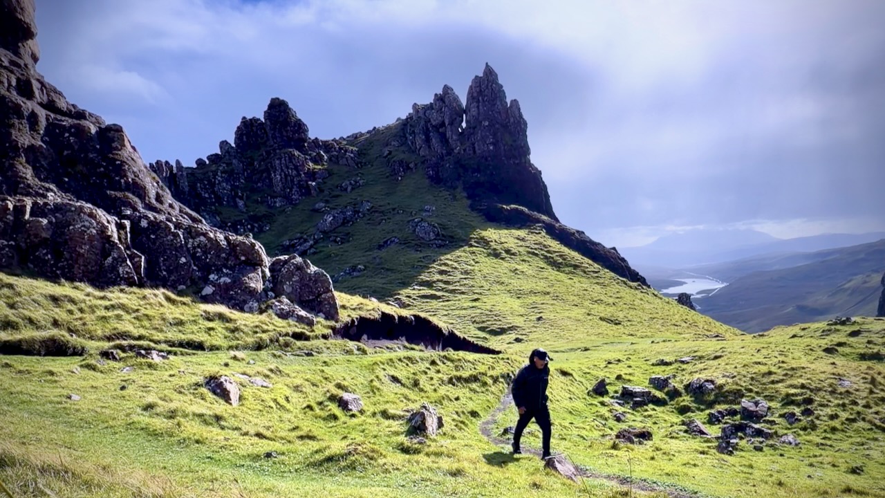
I ended up in this lovely spot. No rain and not much wind all night.
No photo editing.
Awaking in the morning, the downpour began.
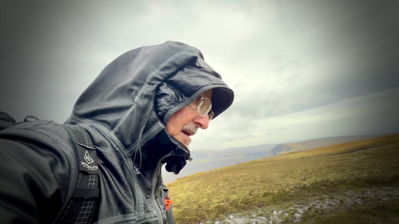
Unfortunately, I had to climb up on to the ridge in howling wind to complete the circuit.
I took few photos. It was miserable on the return.
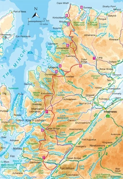
After the 2nd time I fell into the mud, I decided to flee to Inverness. Ending my Skye hiking.
Fierce winds.
Too bad. Just the day before I had resolve to try part of the famed Skye Trail for some days. NOPE. That’s just for hard men.
With this harsh climate, I don’t think I’d return to Skye without a motor vehicle. Here are some of the attractions I missed. Click PLAY or watch it on YouTube.
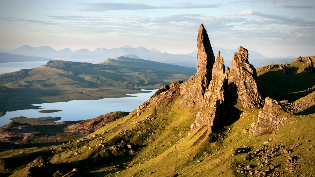
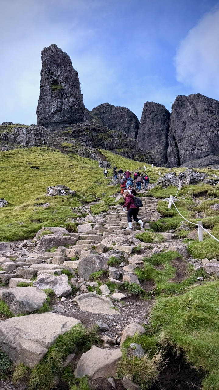
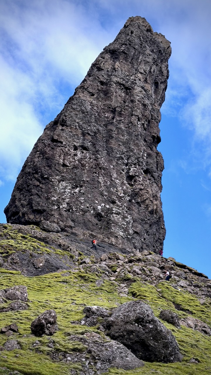
The Old Man of Storr is a 55-metre-high basalt rock pinnacle standing dramatically on the Trotternish Ridge of the Isle of Skye in Scotland.
Created by an ancient, massive landslide, this striking geological landmark sits roughly 7 miles north of Portree and is the most popular hiking attraction on the entire island.
Old Man of Storr, Trotternish, Isle of Skye, Scotland, UK
Easy and inexpensive bus access from Portree keeps this short day hike busy. In fact, all 300,000 visitors / year seemed to be out on the rare sunny day I was there. 😀
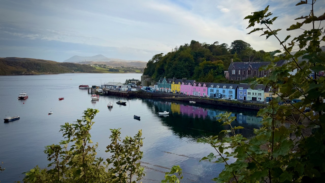
Portree, Isle of Skye
Distance: 3.8 km (2.4 miles) round trip.
Time: Approximately 1.5 to 2 hours.
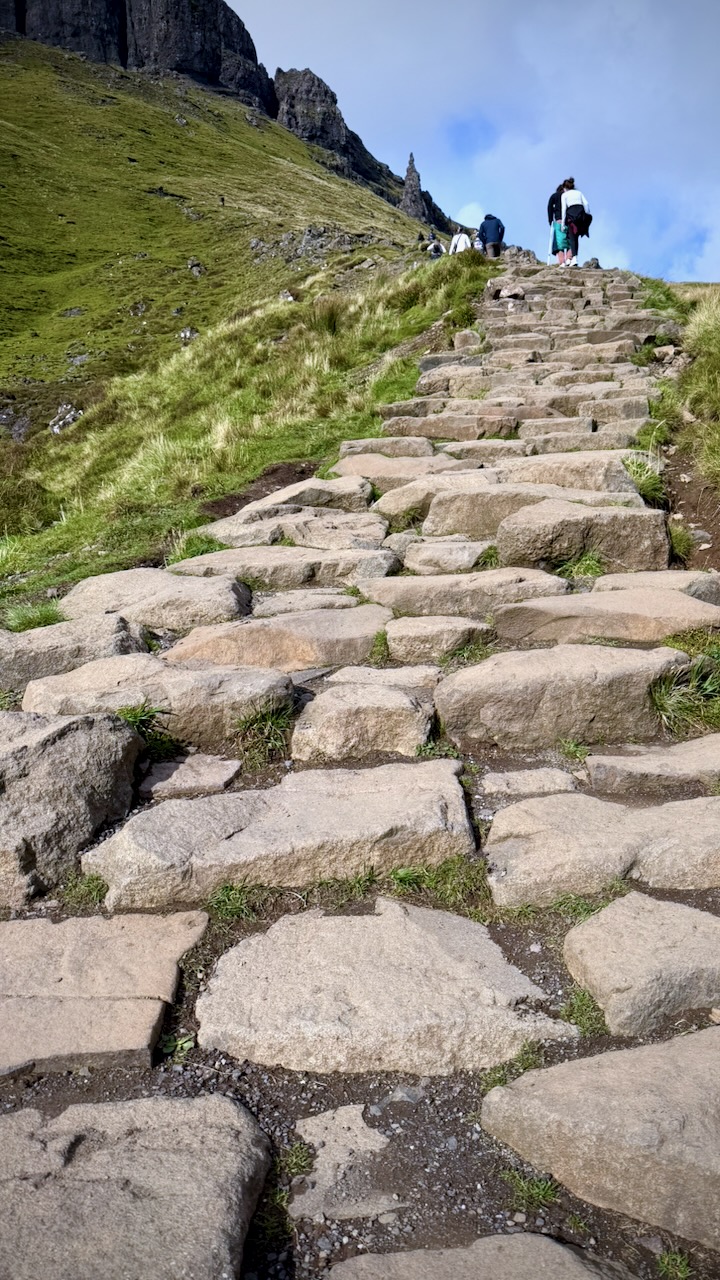
Difficulty: Moderate. The gravel trail is well-maintained but climbs steeply, gaining about 205 metres (700 feet) of elevation.
Terrain: Mostly firm gravel paths and pitched stone steps. The final stretches up near the “Sanctuary” (the base of the spires) can become muddy, rocky, and slippery, so sturdy footwear and the balance of a mountain goat are recommended
Aim to arrive before 8:00 AM or later in the evening to secure a parking space and enjoy a quieter hike
Several buses a day can get you here
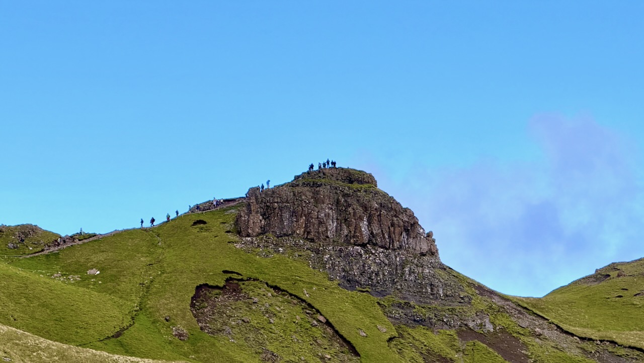
Here’s the start.
And here’s Storr, the main attraction.
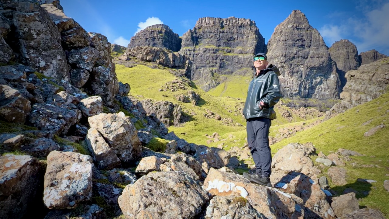
Of course there are many more spires, some even more striking.
There are a number of viewpoints.
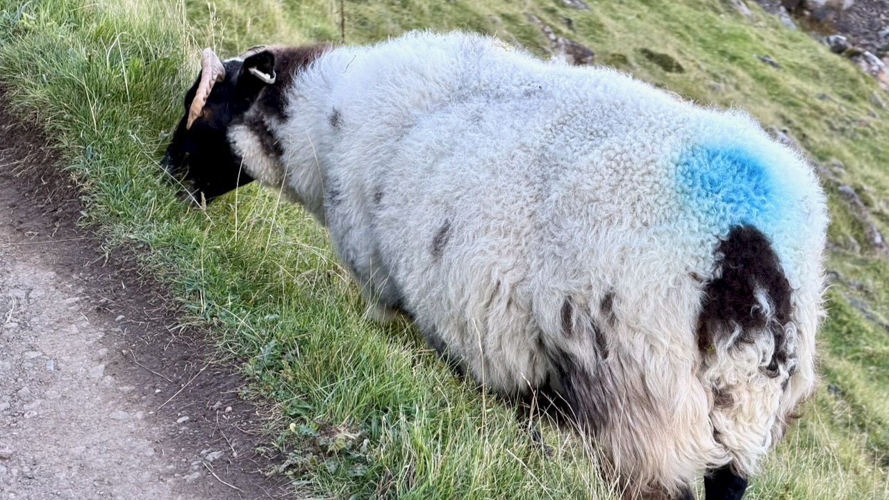
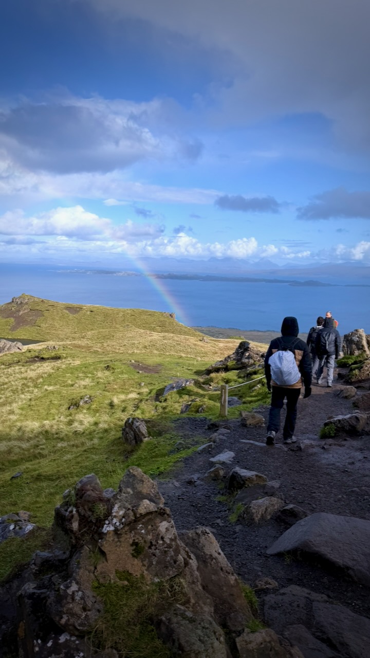
Follow the sheep along the roped off trail …
… or hop the rope and enjoy equally fantastic scenery on your own.
I had lunch and enjoyed the sunshine for about an hour without seeing any other people. I had plenty of time, waiting on the bus to my next hike.
A fantastic place.
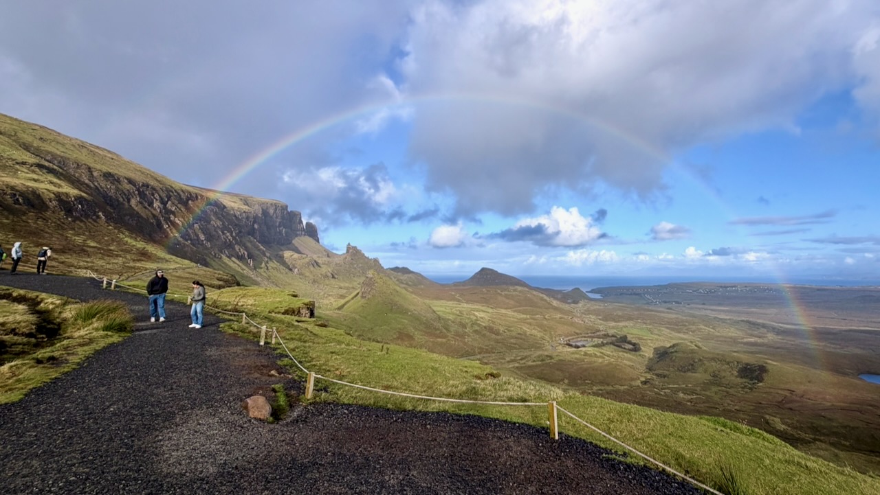
Though it was a sunny day, we had some sun showers.
Highly recommended if you get to remote Isle of Skye.
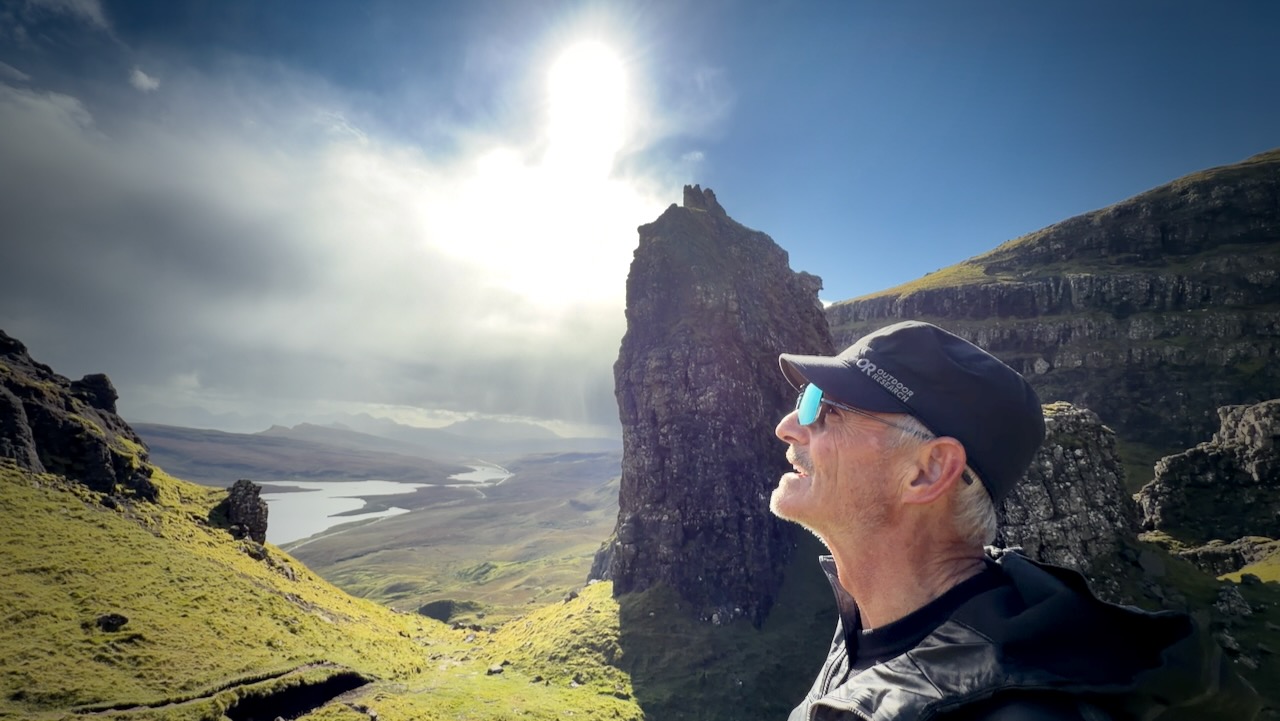
I’d posted an A.I. modified image of myself — aged by the Scottish highlands. 😀
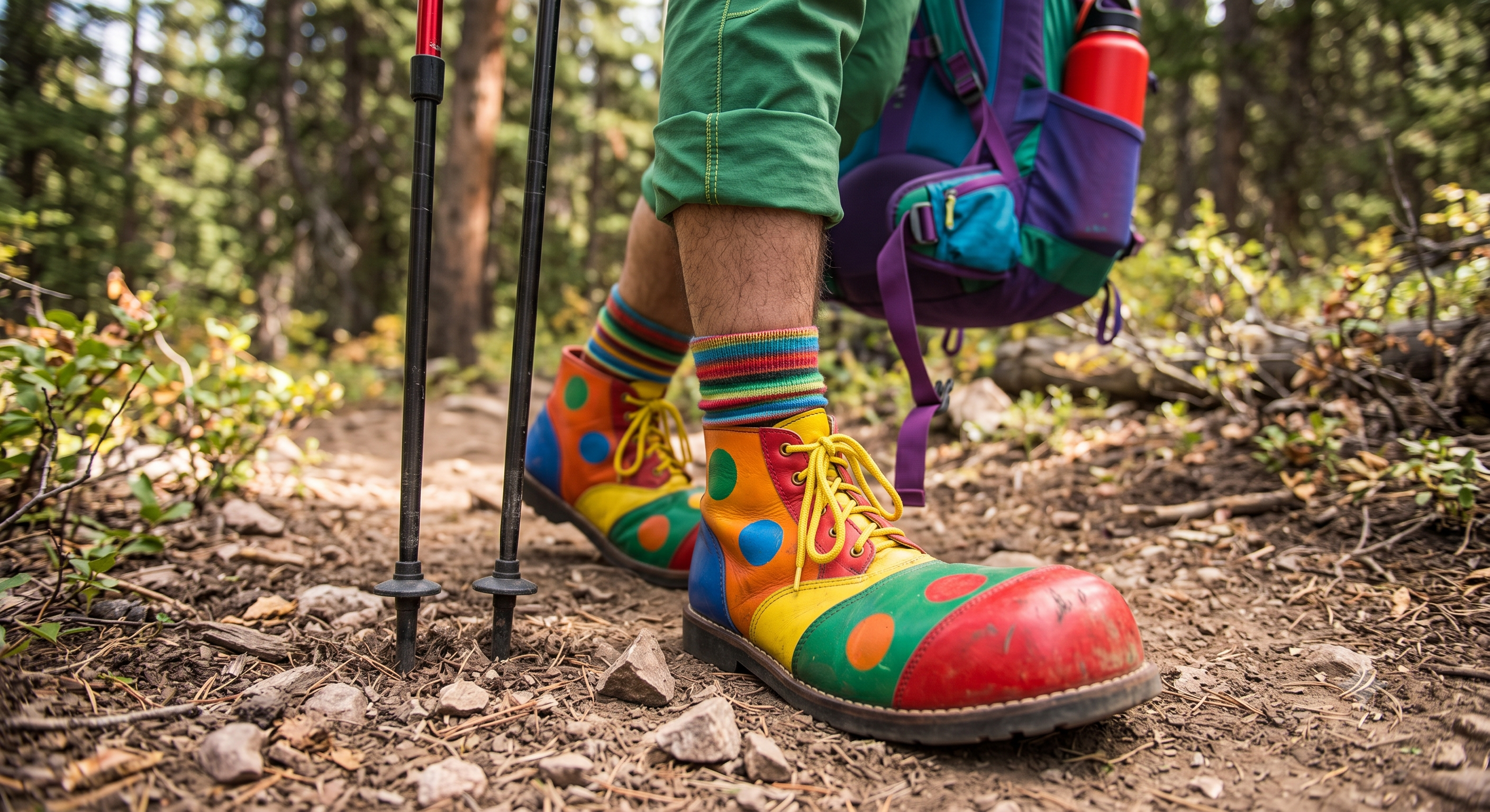
Most critical, for me with bunions, is having oversized shoes with a wide toe box. Especially for the downhill sections. I tighten up at the ankle. But have plenty of space up front so I can’t jam the toes.
Mine look somewhat like a clown shoe.
A.I. image
On my recent Balkan Trails hike, we had about 1000m of vertical every day for a week.
My feet were perfect up and down wearing clown shoes. Many in tighter hiking boots suffered.
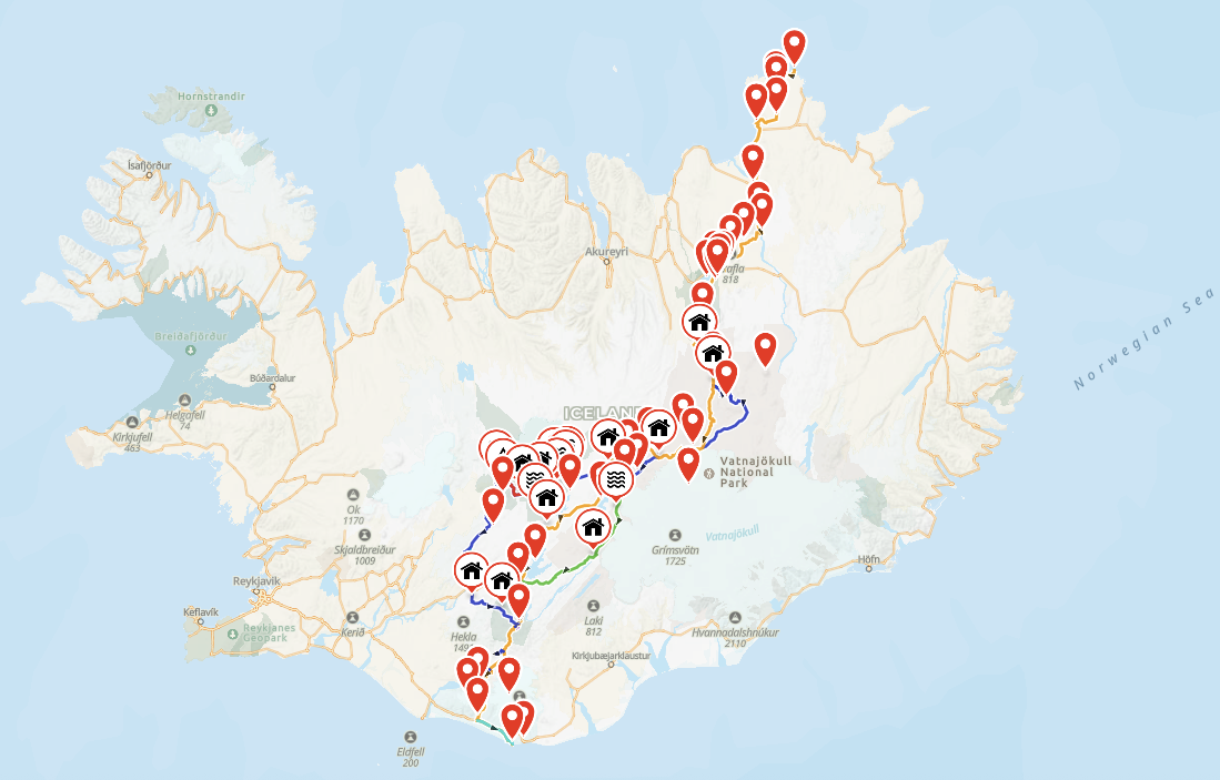
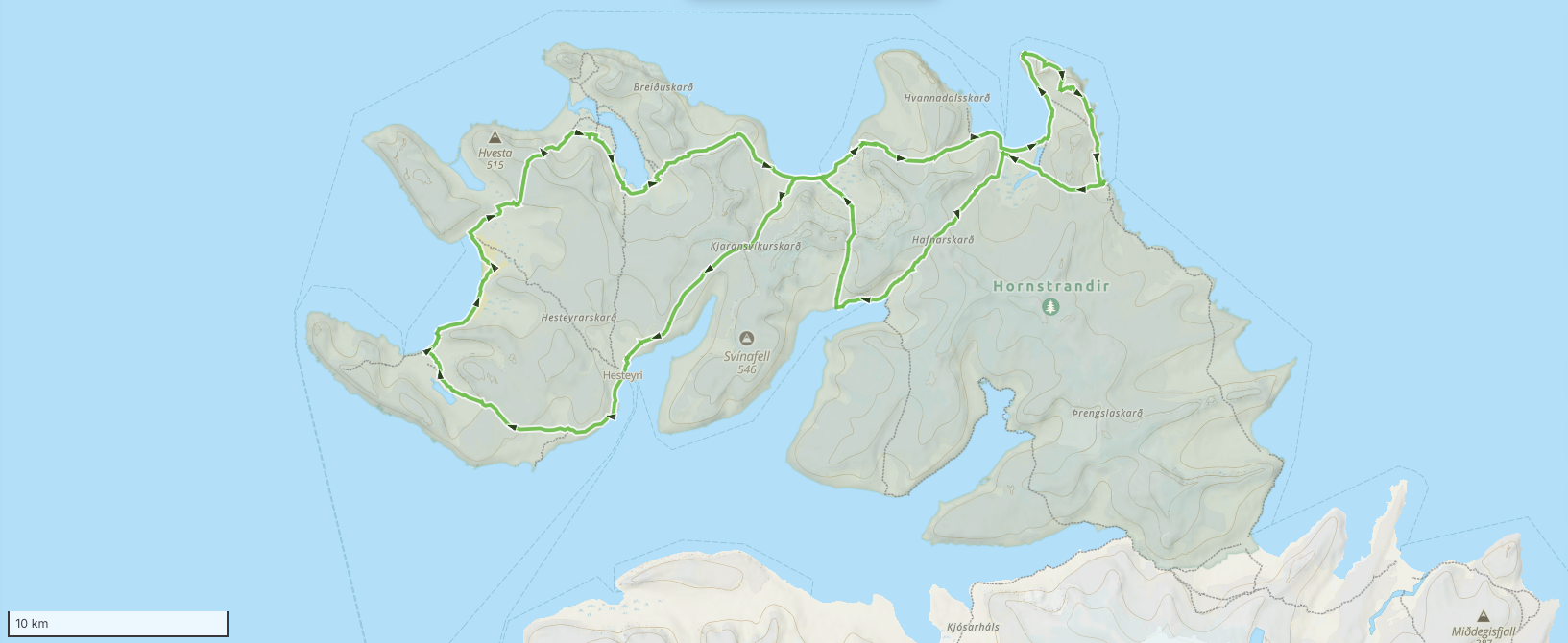
Cam Honan posted his adventure on the Hornstrandir Peninsula – Iceland’s most remote wilderness region.
Located in the rugged Westfjords, this pristine nature reserve has no roads, no permanent residents (at least of the bipedal variety), and is accessible only by boat during the summer.
While it may not be the easiest place to reach, those who make the journey are rewarded with a magical landscape of dramatic sea cliffs, lonely peaks, and primeval tundra.
The flora and fauna is equally impressive, with an exceptional variety of plant life, along with vast seabird colonies and an abundance of arctic foxes. It’s one of my favourite places in Iceland—and considering the strength of the competition, that’s saying quite a bit!
Distance: Approx. 120 km (75 mi) (including side trips)
WindQuester has asked me to do some testing in the real world on my upcoming hiking trip to the Balkans, Dolomites, and beyond.
It weighs almost 3 pounds (1.33 kg). My 1-person Hubba weighs about 2 pounds, by comparison. But many solo bikepackers (like Ryan Van Duzer) carry a 2 person tent in order to get all of their gear out of sight at night. Worth the extra weight for more space.
The WindQuester pole is shorter than the Hubba. Nice as I bring all my gear on to planes as carry on.
I have guided treks in Nepal since 2015, and the two questions I hear most from first-time visitors are “where is Mount Everest, exactly?” and “should I trek to Everest Base Camp or somewhere else?”
The first has a short answer.
The second one deserves an honest comparison, because every year I meet trekkers on the wrong trail: fit hikers bored on gentle routes, and office workers gasping their way toward passes they had no business attempting on a nine-day holiday.
So here is both answers, from someone who walks these trails for a living.
Where is Mount Everest?
Mount Everest sits on the border between Nepal and Tibet (China), in the Mahalangur section of the Himalayas, at 27.9881° N, 86.9250° E. The summit ridge itself is the border: the south side is Nepal’s Sagarmatha National Park, the north side is Tibet.
Nepalis call the mountain Sagarmatha; Tibetans call it Chomolungma.
Almost everyone who treks to Everest goes via Nepal. You fly from Kathmandu to Lukla, a 20-minute flight onto a runway built on a slope, then walk for about eight days to reach base camp. There is no road. Everything you eat above Lukla arrived on the back of a porter, a mule, or a yak, which explains why a bottle of Coke costs five times more at 5,000 metres than in Kathmandu.
One fact that surprises people: you cannot see Everest’s summit from Everest Base Camp. Nuptse’s wall blocks the view. For the classic photograph you climb Kala Patthar, a brown hill above Gorak Shep, at 5,545 metres, usually at 5 a.m. in a wind that goes through every layer you own.
Everest Base Camp: the famous one
Everest Base Camp sits at 5,364 metres (17,598 feet) on the Khumbu Glacier. The standard trek takes 12 days round trip from Lukla, sleeping in teahouses: plywood rooms, thick blankets, a stove in the dining room burning yak dung, and dal bhat twice a day.
The trail is not technical. The difficulty is entirely the altitude: at base camp the air carries roughly half the oxygen of sea level. Most people who fail on this trek fail because they climbed too fast, not because they were unfit. I have watched marathon runners turn back at Dingboche while retirees walked in comfortably, simply because the retirees followed the acclimatization schedule and the runners treated it as a race. If you are considering this trek, read up on how the altitude actually works before you book anything; we published a detailed Everest Base Camp altitude and acclimatization guide that covers the schedules and warning signs.
Who it suits: people who want the name, the Khumbu’s Sherpa villages and monasteries, and don’t mind sharing the trail. In October you will queue at the suspension bridges.
Gokyo Lakes and the Three Passes: same mountains, fewer people
If the crowds put you off, the Gokyo Lakes route branches west from the main EBC trail into a valley of six glacial lakes between 4,700 and 5,000 metres. The water is a blue that looks fake in photographs. From Gokyo Ri at 5,357 metres you see four 8,000-metre peaks in one turn of the head: Everest, Lhotse, Makalu, Cho Oyu. I think it is a better viewpoint than Kala Patthar, and you will share it with a tenth of the people.
The Three Passes trek connects Gokyo, base camp and the Chhukhung valley over Renjo La, Cho La and Kongma La, all above 5,300 metres. It takes 17 to 18 days and it is the hardest teahouse trek in the Everest region. Do not make it your first Himalayan trek.
Annapurna Base Camp: big mountains on fewer days
Annapurna Base Camp (locals just say ABC) sits at 4,130 metres, a full 1,200 metres lower than EBC, which changes everything: shorter itinerary, warmer nights, gentler acclimatization. From Pokhara you can walk to ABC and back in 5 to 7 days through rhododendron forest and the stone-staircase villages of Chhomrong and Sinuwa. The camp itself sits inside a ring of peaks, with Annapurna I (8,091 m) and Machhapuchhre standing over your breakfast.
Most people don’t know there is a second base camp on the mountain’s north side, the historic route of the 1950 French expedition. The North Annapurna Base Camp route takes about five days, sees a fraction of ABC’s traffic, and passes hot springs at the trail’s start. We guide both; I send people north when they tell me they want mountains without a queue.
The Annapurna Circuit: the long walk
The Annapurna Circuit is a different kind of trek: instead of walking to a point and back, you walk around the entire Annapurna massif, crossing Thorong La pass at 5,416 metres, higher than Everest Base Camp. The classic route takes 10 to 12 days now that roads have shortened both ends.
The reason the Circuit endures is variety. You start in rice terraces, climb through pine forest, and end in a high desert that looks like Ladakh. The village of Manang, at 3,519 metres, is where everyone takes an acclimatization day: bakeries selling sea-buckthorn juice and apple pie, a small clinic run by the Himalayan Rescue Association giving free altitude talks at 3 p.m., and day hikes to Ice Lake that prepare your body for the pass. Crossing Thorong La starts around 4 a.m. and hurts. Then you descend to Muktinath temple and the windblown Kali Gandaki valley, and it’s done.
Mardi Himal and Poon Hill: short treks that don’t feel small
Not everyone has two weeks. The Mardi Himal trek climbs a forested ridge directly above Pokhara to a high camp at 3,580 metres and a viewpoint at 4,500, staring straight into Machhapuchhre’s fishtail summit. Five to seven days, quiet trails, and in spring the entire ridge flowers red with rhododendron. It has become my standard recommendation for first-time trekkers.
Ghorepani Poon Hill is shorter still, 3 to 4 days, topping out at 3,210 metres. The price of admission is the stone staircase at Ulleri, roughly 3,300 steps that will introduce you to muscles you forgot. The reward is the sunrise from Poon Hill, when Dhaulagiri and the Annapurnas turn orange in sequence. Yes, there will be a crowd at the top with camera phones. It is still worth it.
Manaslu Circuit and Tsum Valley: the quiet circuit
The Manaslu Circuit is what the Annapurna Circuit was thirty years ago. It loops around Manaslu, the world’s eighth-highest mountain, crossing Larkya La at 5,106 metres, through villages where Tibetan Buddhism is not a decoration but the daily schedule. It is a restricted area: you need a special permit and a licensed guide, and you must be a group of at least two trekkers. That paperwork keeps the numbers low. On a November morning below Samagaon I have walked two hours without meeting another foreigner.
Add the Tsum Valley and you get a side trip into a hidden Buddhist valley that only opened to outsiders in 2008, with nunneries, mani walls, and a customary ban on animal slaughter. The full Manaslu Circuit itinerary runs about 11 days; with Tsum it stretches to 18.
Upper Mustang: the desert behind the mountains
Upper Mustang is the odd one out: a high-altitude desert in the Himalayan rain shadow, so you can trek it in monsoon season when every other trail drips. The route follows the old salt-trade corridor up the Kali Gandaki to Lo Manthang, a walled city of whitewashed houses and 15th-century monasteries near the Tibetan border. The landscape is eroded red and grey cliffs pocked with cave dwellings. The permit costs US$500 for ten days, which filters the crowds better than any distance could.
The honest comparison
Trek
Days
Max elevation
Difficulty
Best for
Everest Base Camp
12–14
5,545 m (Kala Patthar)
Hard (altitude)
The classic; Sherpa culture
Gokyo Lakes
11–12
5,357 m (Gokyo Ri)
Hard
EBC views, fewer people
Three Passes
17–18
5,535 m (Kongma La)
Very hard
Experienced trekkers
Annapurna Base Camp
5–7
4,130 m
Moderate
Big mountains, short leave
Annapurna Circuit
10–12
5,416 m (Thorong La)
Hard
Variety, teahouse culture
Mardi Himal
5–7
4,500 m
Moderate
First Himalayan trek
Ghorepani Poon Hill
3–4
3,210 m
Easy–moderate
Families, tight schedules
Manaslu Circuit (+Tsum)
11–18
5,106 m (Larkya La)
Hard
Solitude, Tibetan culture
Upper Mustang
10–12
3,840 m
Moderate
Monsoon season, desert landscapes
How to choose
Ask yourself three questions. How many days do you really have, counting the two buffer days every Himalayan itinerary needs for weather? Have you slept above 4,000 metres before, and how did it go? And do you want the famous trail or the quiet one?
If you have two weeks and want the name: Everest Base Camp, done slowly. Ten days and you want variety: the Annapurna Circuit. A week: ABC or Mardi Himal. If you have trekked before and want Nepal as it used to be: Manaslu. And if someone tells you a trek is “easy,” check what altitude they sleep at before believing them. The mountain does not care about anyone’s marketing.
Mohan Raj Bhandari is the founder and lead guide of North Nepal Travel & Trek, a guide-owned trekking company in Pokhara, Nepal. His team has guided the Annapurna, Everest and Manaslu regions since 2015 and publishes weekly trail-condition updates from its own treks.