On March 15, 2022, the Bureau of Land Management transitioned the in-person, walk-in lottery to a new mobile based geofence system to provide a safer and more convenient lottery experience. The new Daily Lottery allows applicants to use location-enabled mobile devices to apply with intentionally set geographic boundaries.
Your odds are better if applying alone. December – February might be slightly easier months.
If successful, the permit cost is $7 / person. And $7 / dog.
BestHike editor Rick McCharles got lucky in 2006 walking into the Visitor Center in Kanab UT and got a permit for the following day. (He had slept in his car in the parking lot to be sure to be at the door on opening.)
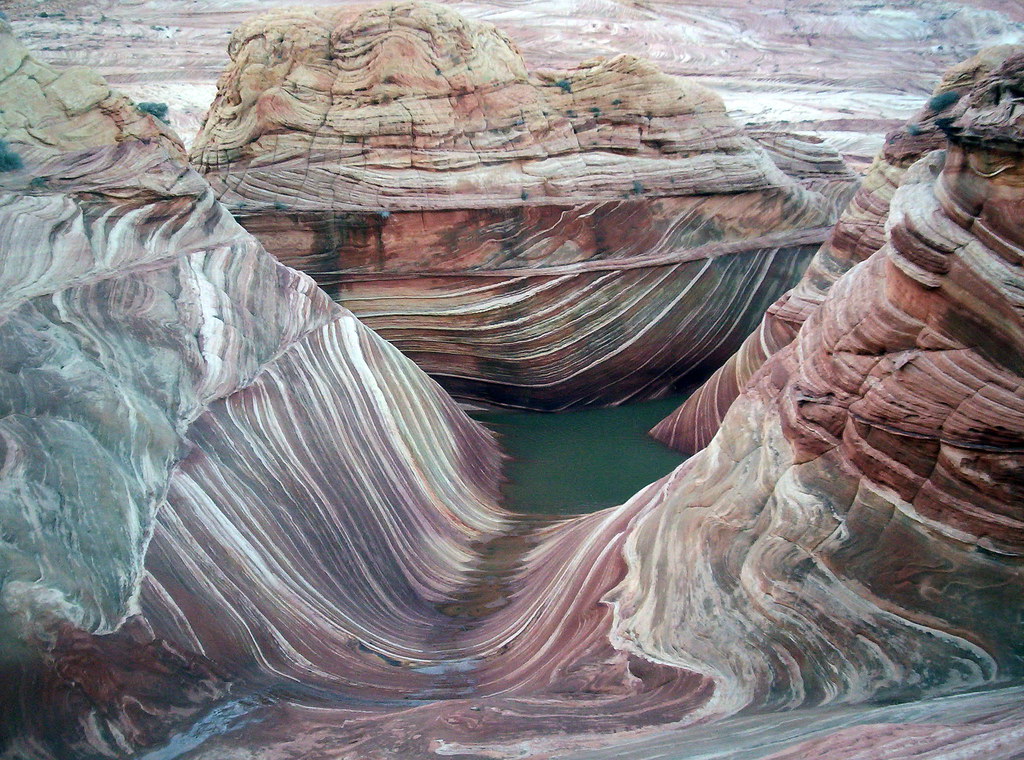
Above and slightly west of the Wave is what many call “the Second Wave“, which has fainter colours but is still of interest to most visitors and photographers.
Why We Like This Hike
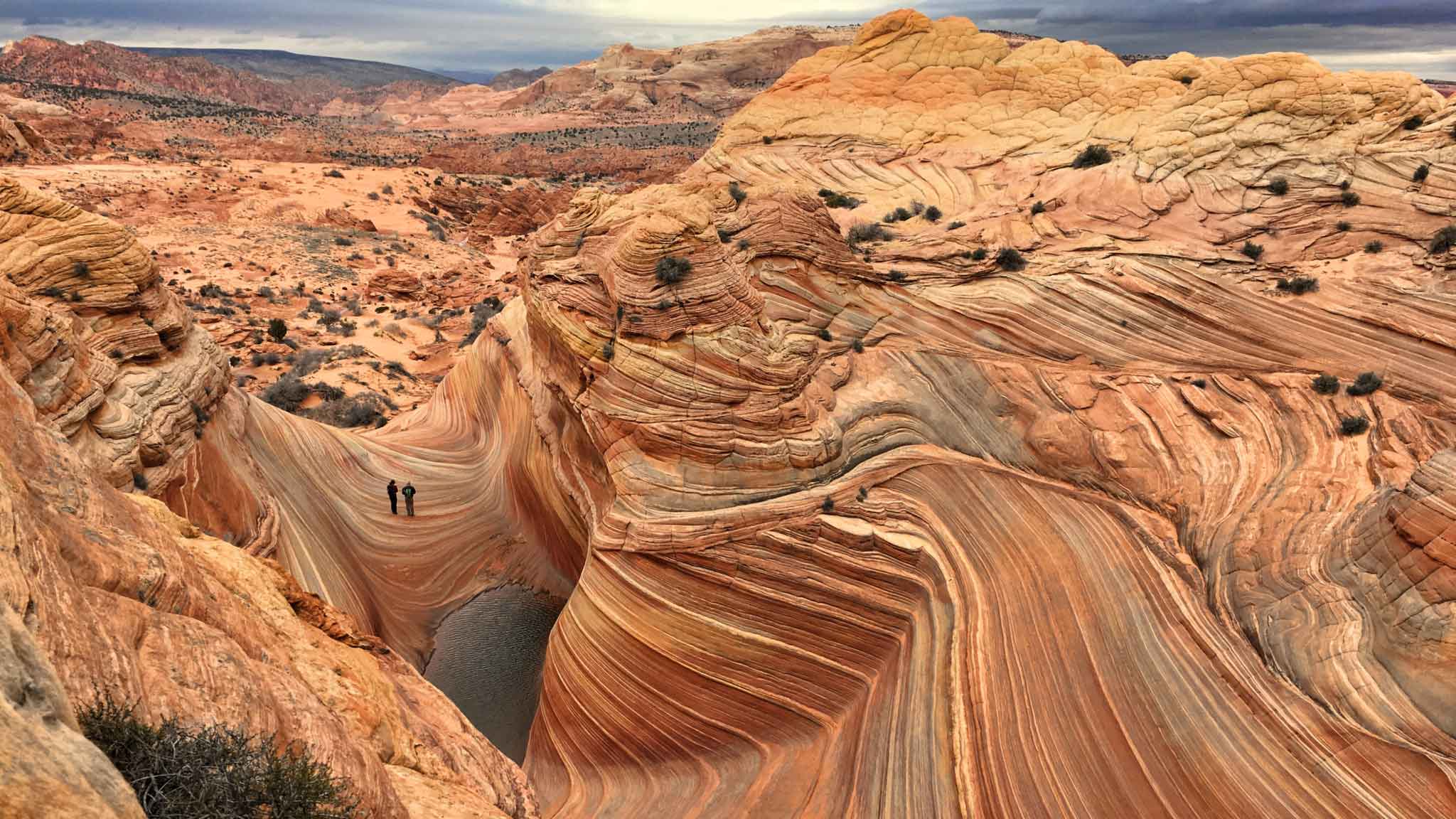
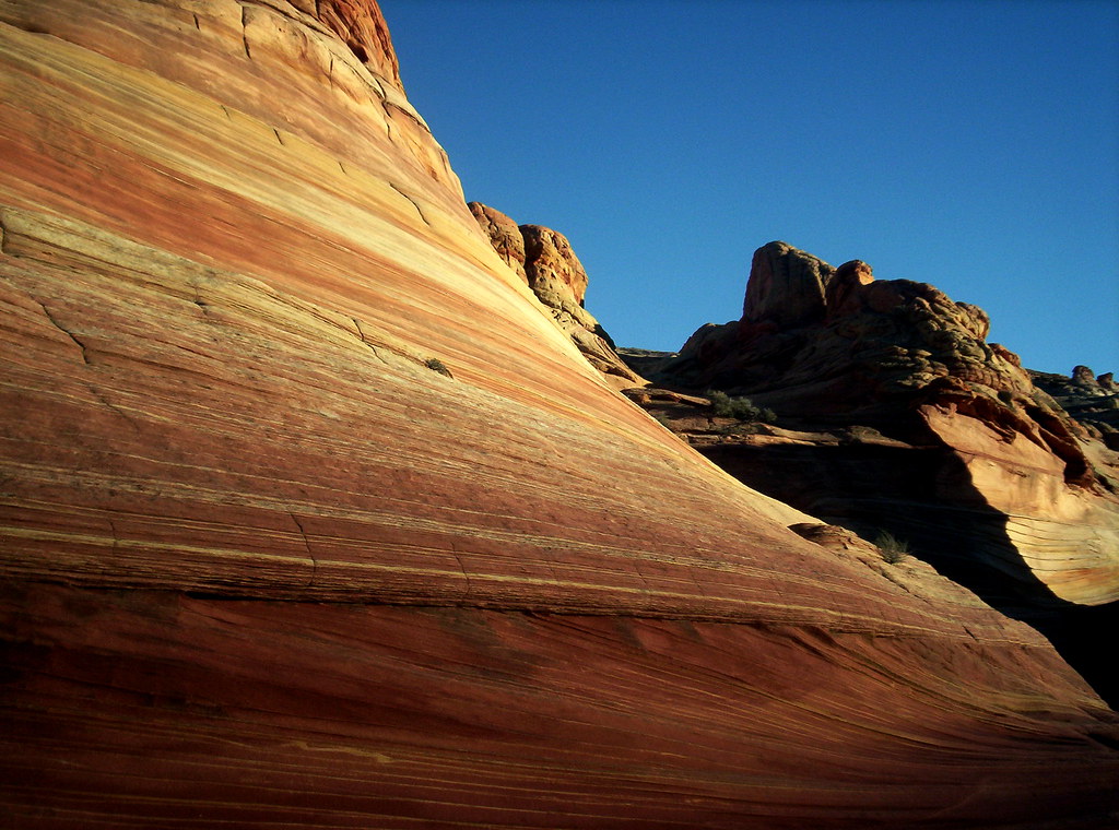
the colours, the colours
magical and wonderful geology
nearby dinosaur tracks
There are many, many other excellent hikes in the area. You won’t be disappointed even if you fail to get a walk-in permit for The Wave.
by Horseshoe Bend
Considerations
can be hot and dusty
bring sun protection
no mobile phone service
carry the water you need
the drive from Kanab to the Wire Pass trailhead is about an hour. The last 8 miles along House Rock Valley Road can be impassable at times due to flash flood. BLM recommends a high clearance 4-wheel drive or AWD vehicle, if possible
hikers must display half their permit on their vehicle windshield and the other half visible on the outside of their backpack
permits non-refundable and non-transferable
Trekking Guides
Not needed. Do this hike on your own.
Local Information
Bureau of Land Management Kanab Visitors Center 745 East Highway 89 Kanab, UT 84741 Highway 89, 1 mile east of junction with alternate 89. 435-644-1300