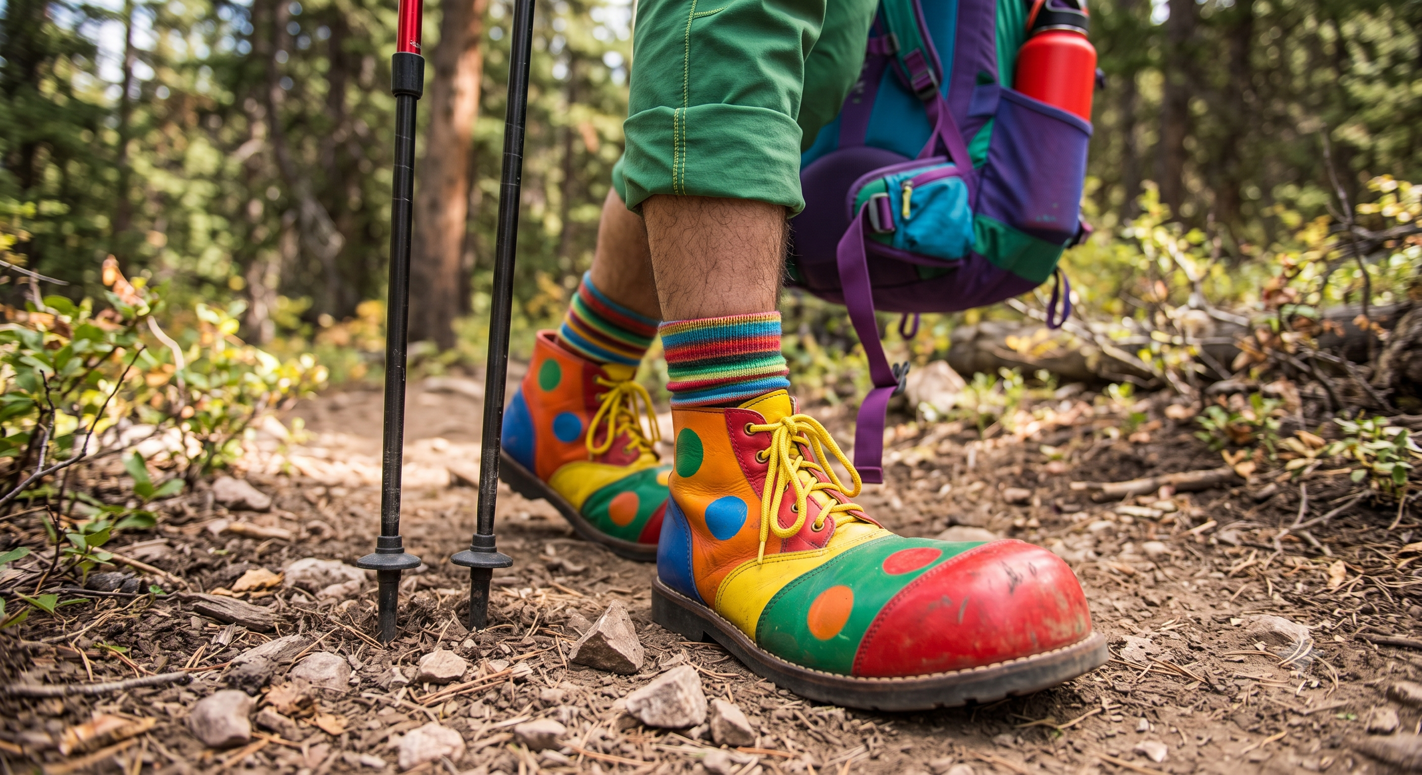
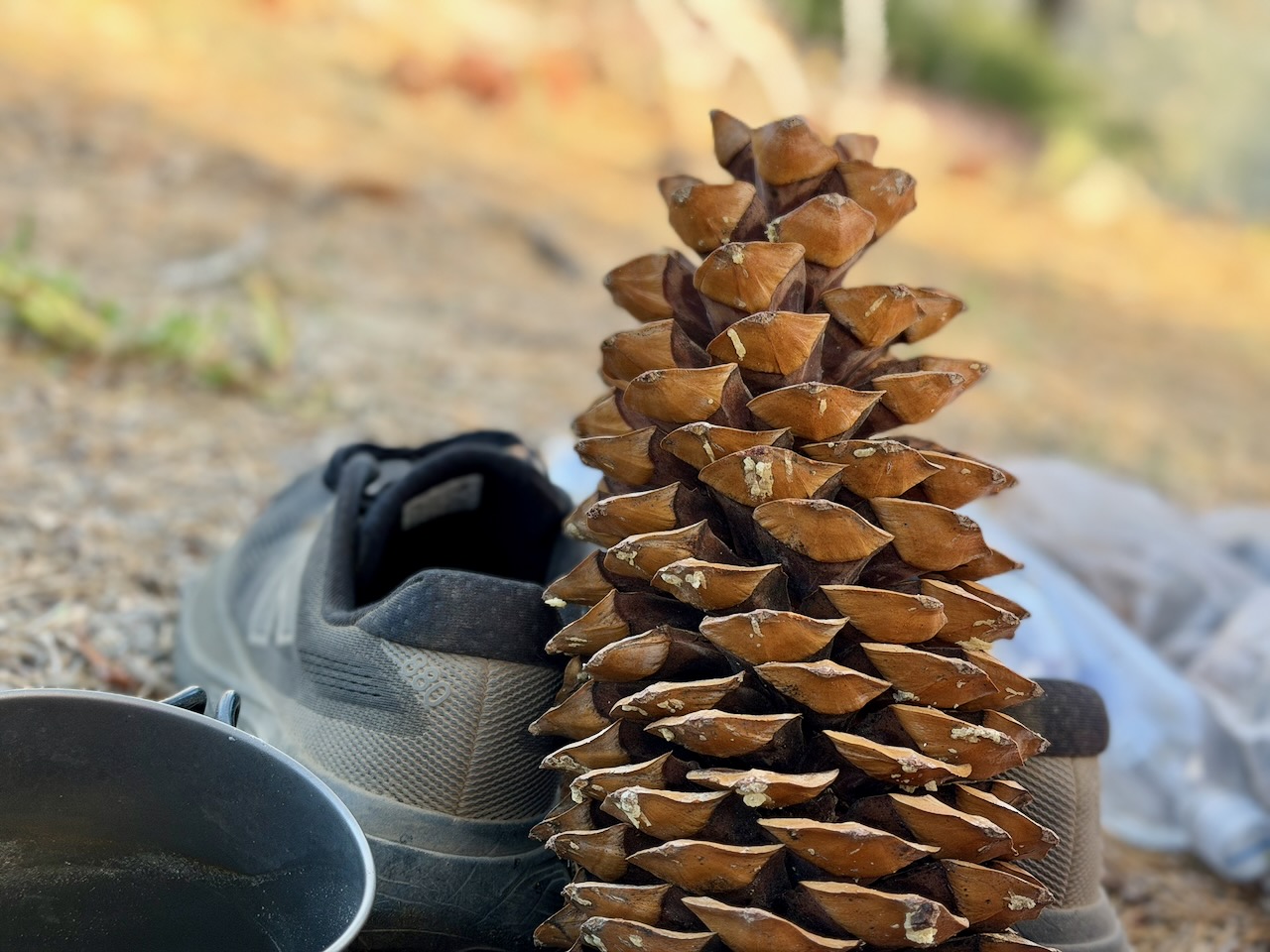
Most critical, for me with bunions, is having oversized shoes with a wide toe box. Especially for the downhill sections. I tighten up at the ankle. But have plenty of space up front so I can’t jam the toes.
Mine look somewhat like a clown shoe.
A.I. image
On my recent Balkan Trails hike, we had about 1000m of vertical every day for a week.
My feet were perfect up and down wearing clown shoes. Many in tighter hiking boots suffered.
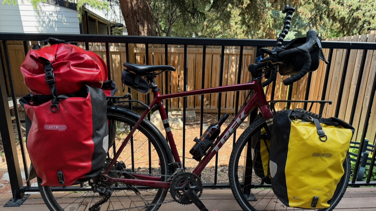
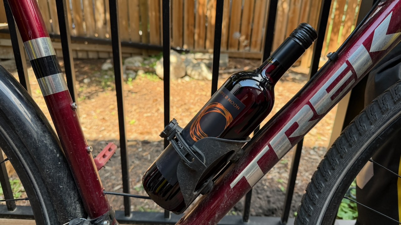
My current touring bike is a Trek Checkpointcustomized for my good self. And I have had many thousands of enjoyable miles on it.
BUT it’s nearing end of life for multi-day cycling. I broke off the rear rack on my last long trip.
Right now I’m upgrading my other bike ➙ 2015 Ghost Panamao X 3 Bicycle – CAD$725. It’s in great shape right now now as Brian has been doing the maintenance. BEST about the Ghost is front suspension like a mountain bike. A comparatively inexpensive gravel ride, it carried me from Vancouver to Calgary in 2020.
Next bike?
IF I was to upgrade, my first choice is the somewhat more expensive Priority 600 series with front suspension. More comfort is the main thing I’m looking for.
An option is electronic Pinion Smart.Shift technology, 600% gear range across 12 speeds.
It’s available in titanium and aluminum.
In fact, my guru — Ryan Duzer — switched from a Checkpoint to the Priority. That’s Ryan in the photo.
One of the designers, some call this bike the Duzer Cruiser. He just rode it from Canada to Mexico on the Tour Divide.
I think I’d prefer the no maintenance belt drive pinion system. And the nearly unbreakable Gates Carbon Drive.
WindQuester has asked me to do some testing in the real world on my upcoming hiking trip to the Balkans, Dolomites, and beyond.
It weighs almost 3 pounds (1.33 kg). My 1-person Hubba weighs about 2 pounds, by comparison. But many solo bikepackers (like Ryan Van Duzer) carry a 2 person tent in order to get all of their gear out of sight at night. Worth the extra weight for more space.
The WindQuester pole is shorter than the Hubba. Nice as I bring all my gear on to planes as carry on.
Dan Durston is an accomplished Canadian thru hiker, former environmental biologist, and the founder and product architect of Durston Gear, based in Golden, British Columbia.
I have 3 cameras. iPhone 17. Action Camera. And a Drone.
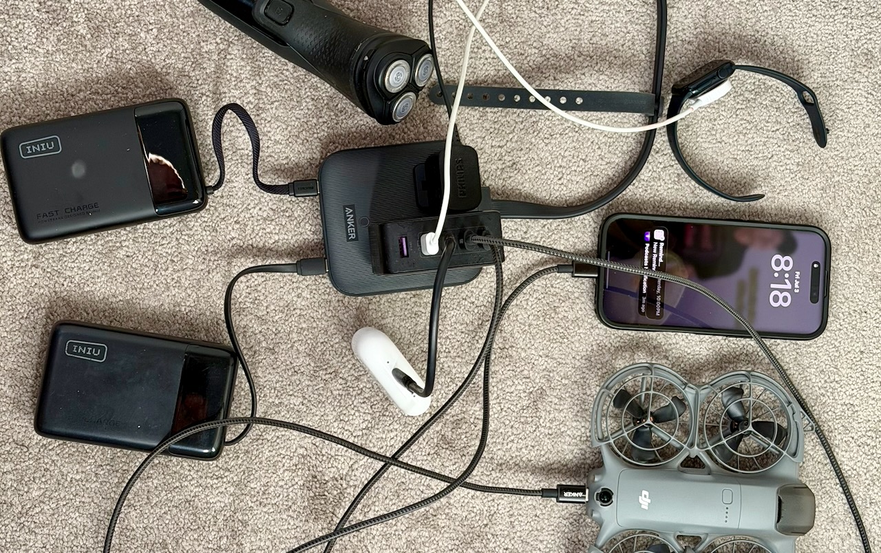
HIGH priority for me is ensuring I can keep ALL the batteries charged. Here’s how I could recharge with just one electrical plug. In a library, for example.
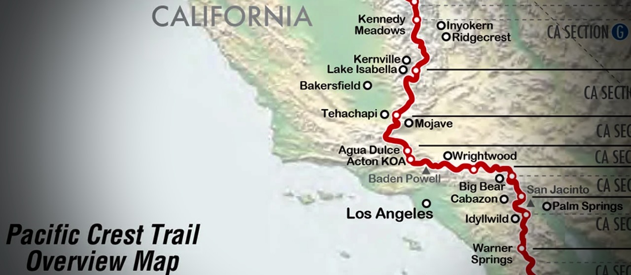
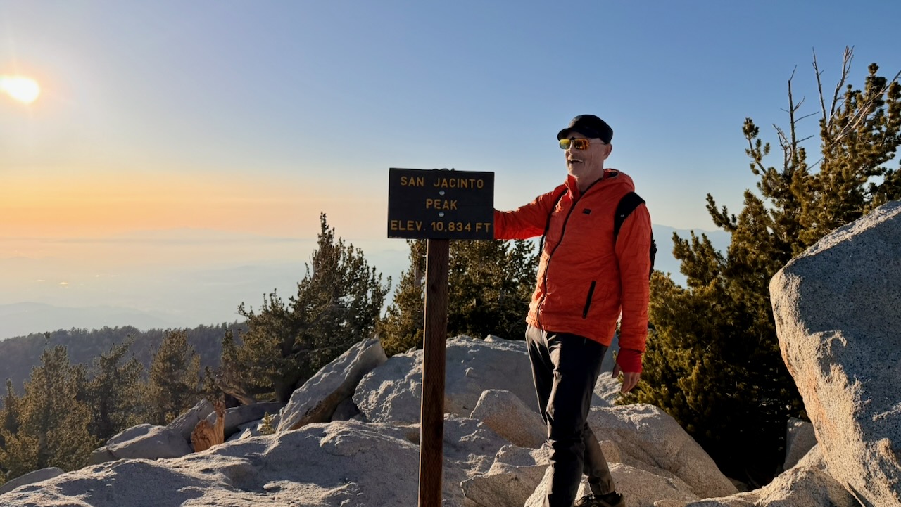
Hot, dry — but not flat. I ended up on the summits of Mt. San Jacinto (10,834 ft) and Mt. Baden-Powell (9,399 ft). Then had to descend.
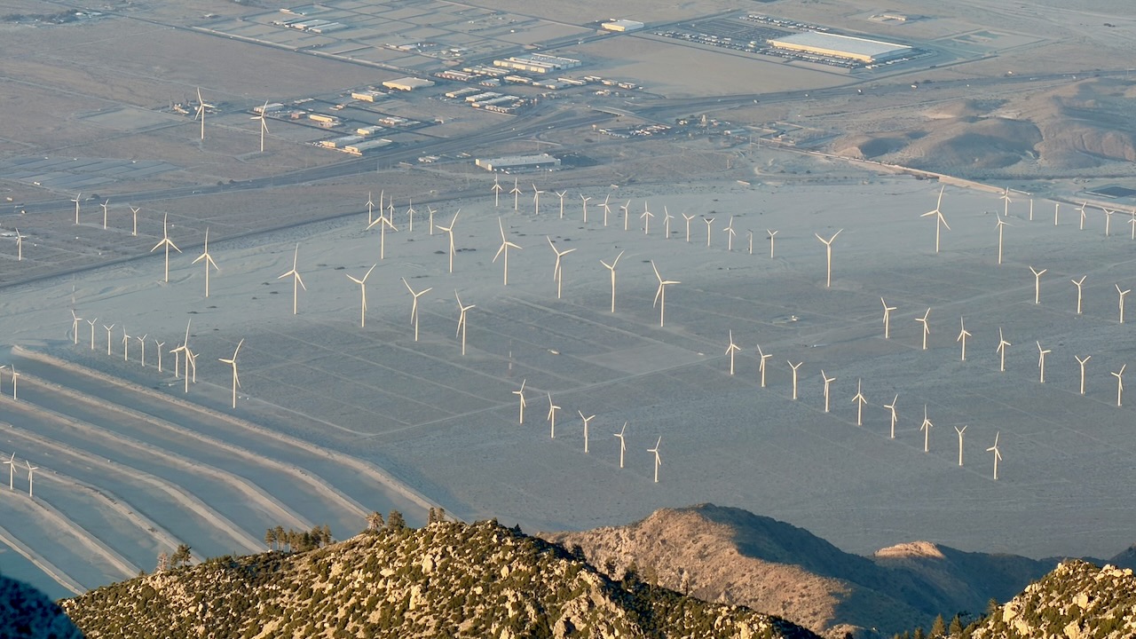
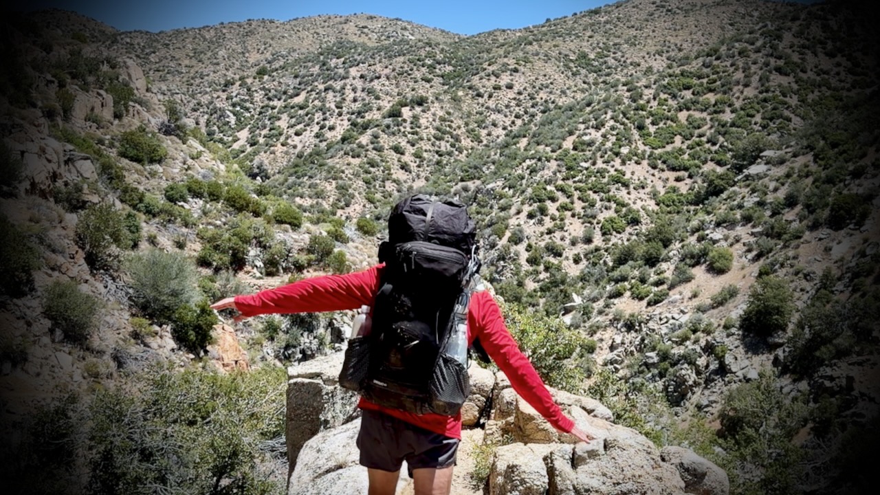
Palm Springs to Agua Dulce is about 245 PCT miles. My section was mostly rocky, sun-baked canyonsand scrub.
Many complain about the relentless wind. Personally, I like wind as it cools you off.
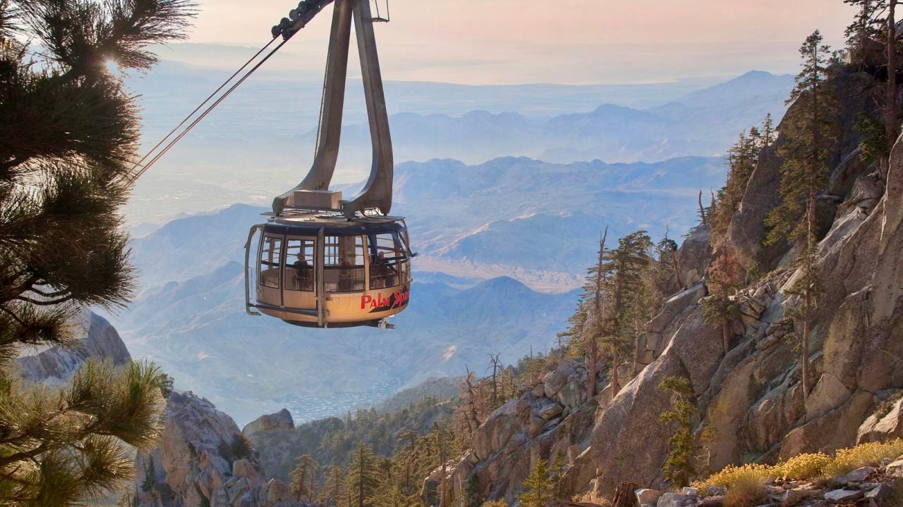
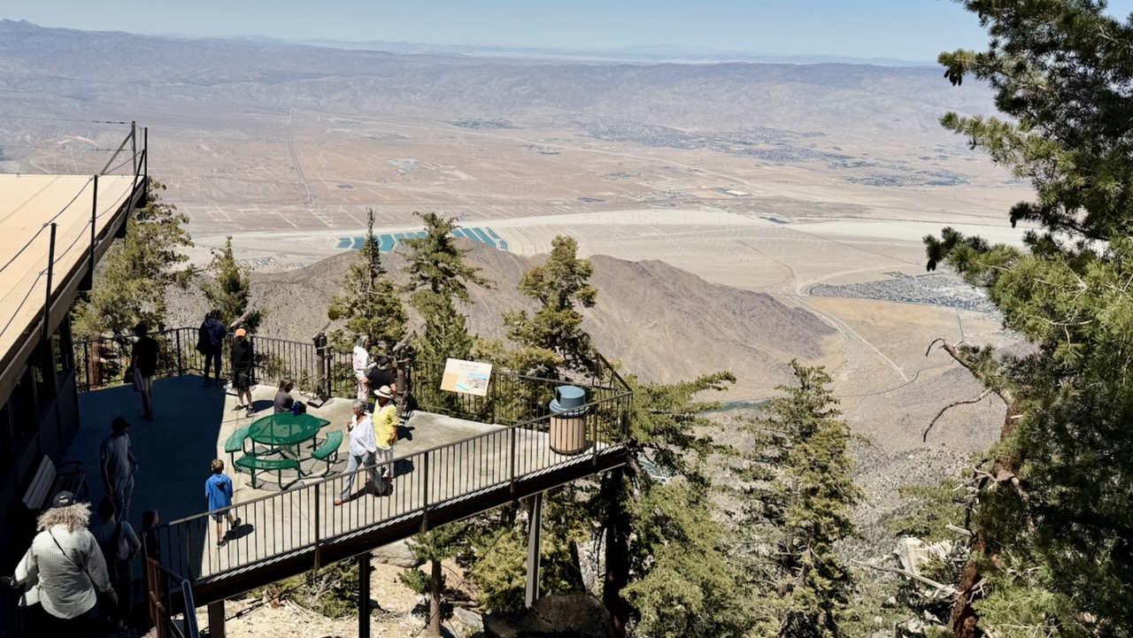
I skipped some of those miles taking 3 rides along the way. Of course I added miles hiking in from the Palm Springs Tramway. And ALL hikers add miles when they hike into and out of resupply stops.
I flew into Palm Springs. Bought camping gas and stopped at a grocery. Then took the bus to the bottom of famed Palm Springs Aerial Tramway.
Turns out there’s no public transit for the last 3 miles. Oops. Happily, a guy on a motorcycle noticed my dilemma, offering a lift to the base. My first Trail Angel.
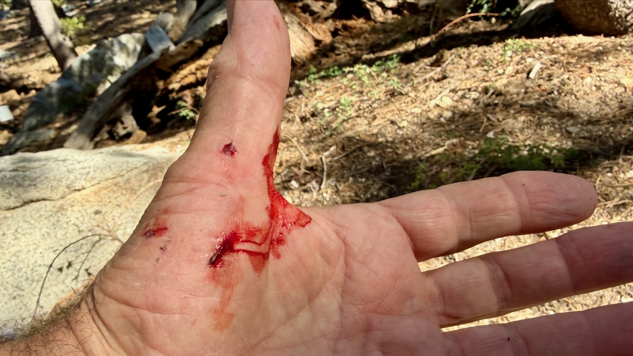
Within an hour, I had my only real injury. Standing up, I forgot I was wearing a heavy pack, and fell backwards over a rock. Getting scratched up. … Dumb mistake.
I enjoyed the short side trip to San Jacinto Peak. It’s over 10,000 feet higher than Palm Springs.
I camped nearby. And was surprisingly chilly in the sleeping bag.
Rather than post a day-by-day account, here are major themes of my 2 weeks on trail.
Priorities
Staying Hydrated
Foot Care
Avoiding Heat Emergencies
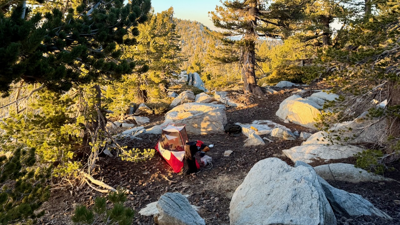
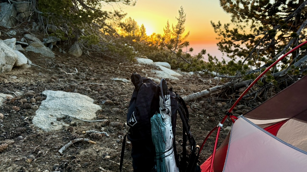
Wild Camping
About 5:30pm I’d start looking for a campsite. Ideally near a water source.
IF there is a Bear Locker, use it. At the excellent Little Jimmy Campground we advised everyone to lock up food and backpacks.
About 2am a bear arrived to check if lockers were closed. Checked every tent. Started dragging a backpack out of a vestibule as it had some food in it. The hiker (now known as Bear Bait) shouted and had a tug-of-war with the beast, eventually winning the battle for his pack.
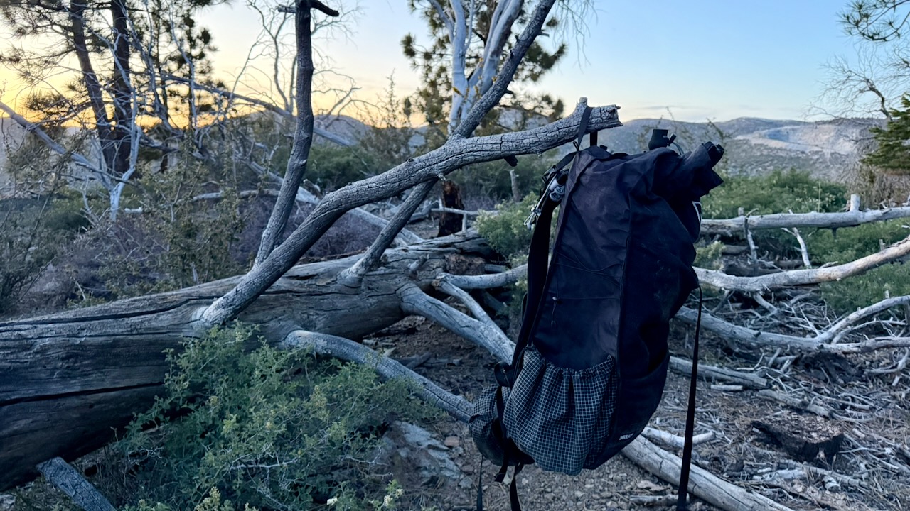
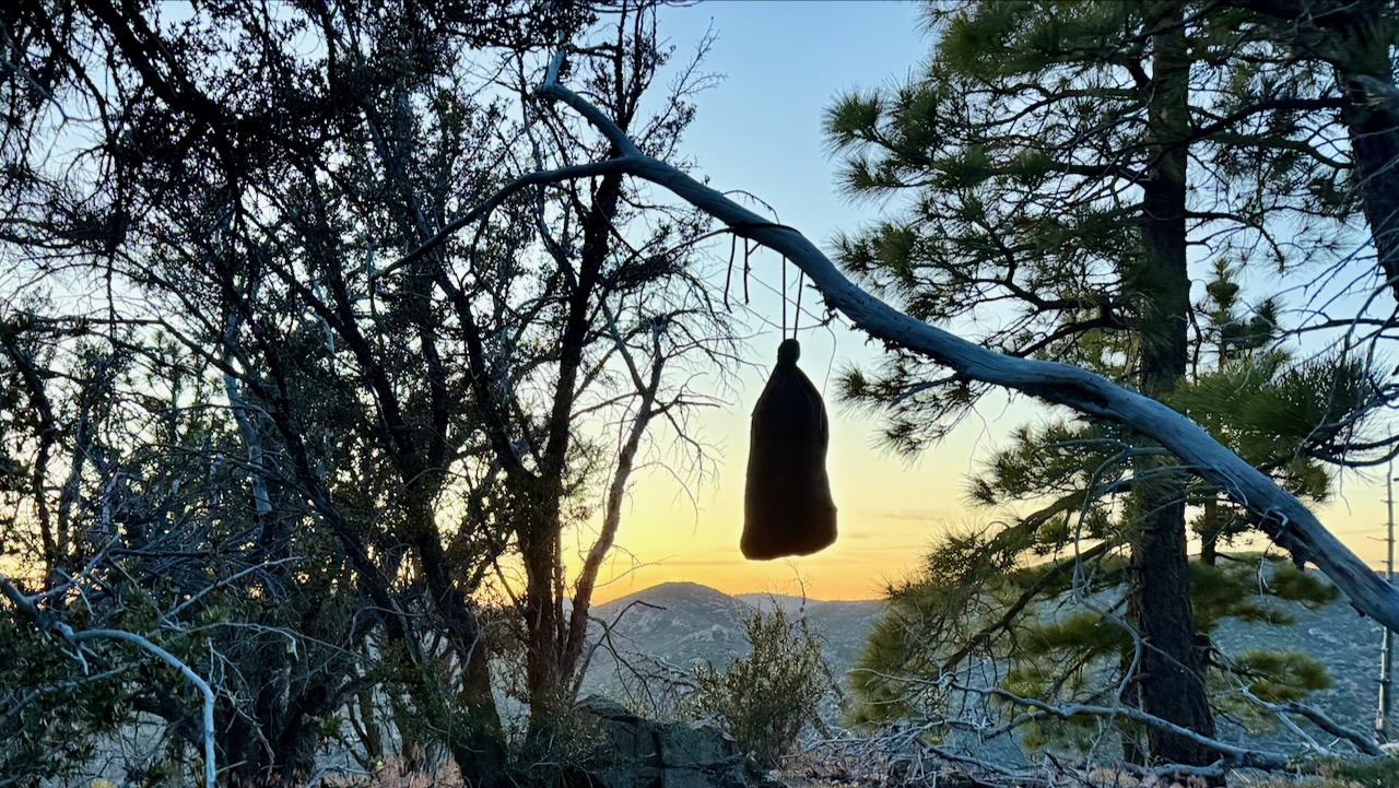
If there is no Bear Locker, hang your backpack away from insects & rodents.
I had my food in an Ursack, and tied it away on a tree.
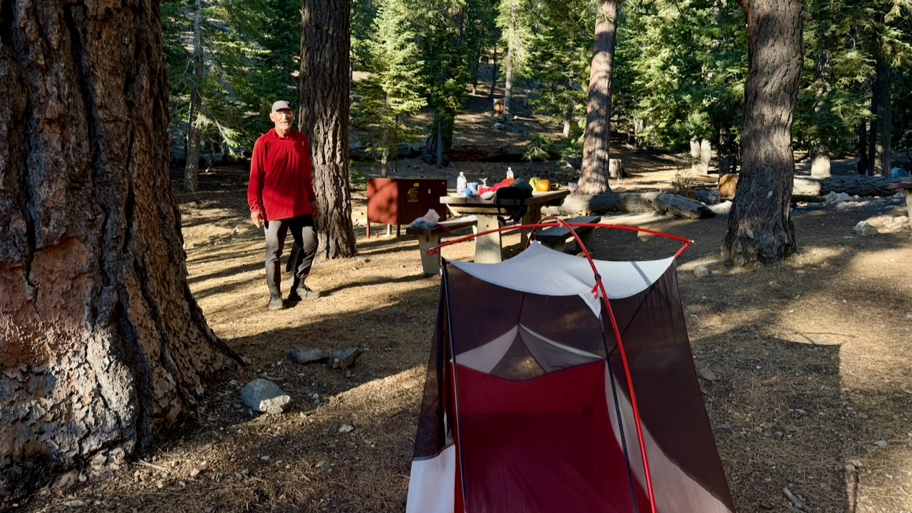
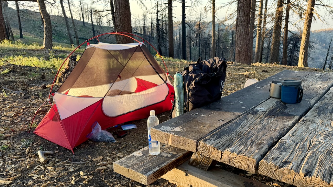
I do love having a picnic table.
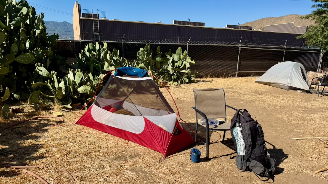
As it turned out, I only put my fly on the tent 2 nights of 17. Why didn’t somebody tell me it never rains in southern California? 😀
Foot Care
As I’d suffered blisters on the PCT once in the past, this time I brought 2 pairs of hiking shoes, both about 1.5 sizes larger than what I wear in the city. And both were WIDE sized.
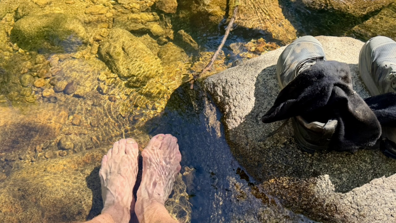
I changed shoes regularly. Changed socks often. Washed and cooled my feet every chance I got. And it worked.
Near the end of my desert hiking, I bought a pair of Injinji toesocks. I think they might have helped, too.
Pack Weight
Only hiking a couple of weeks, my pack was heavier than most. Starting with 10 meals, carrying 3-4 litres of water, it might have been close to 40 pounds.
After a week or so, it was near 32 pounds.
The lighter, the better. I did find my pack too heavy.
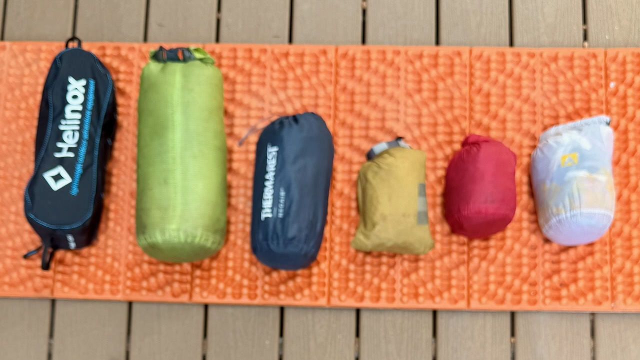
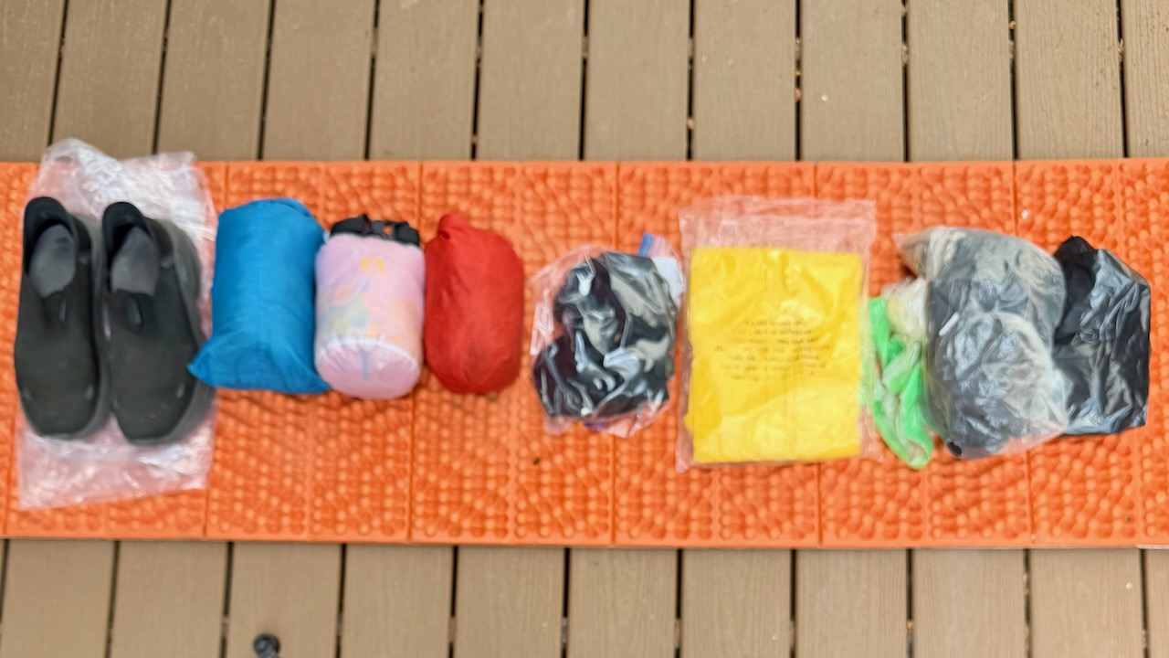
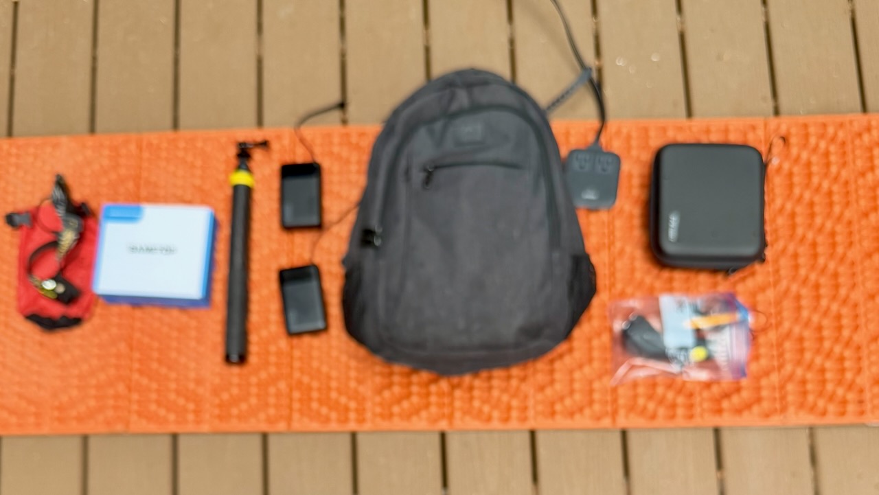
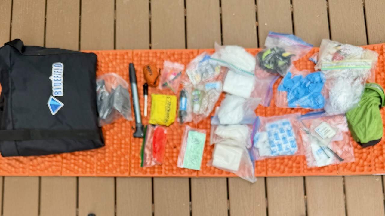
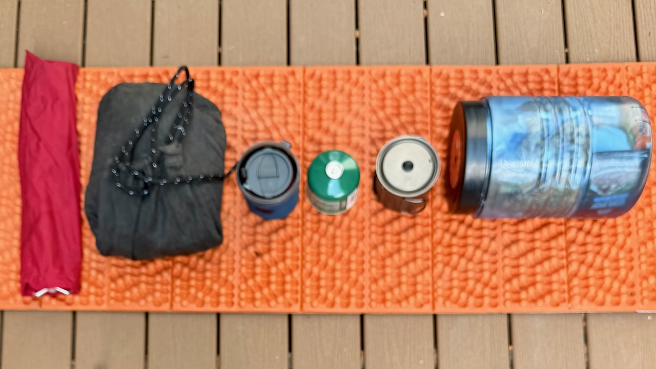
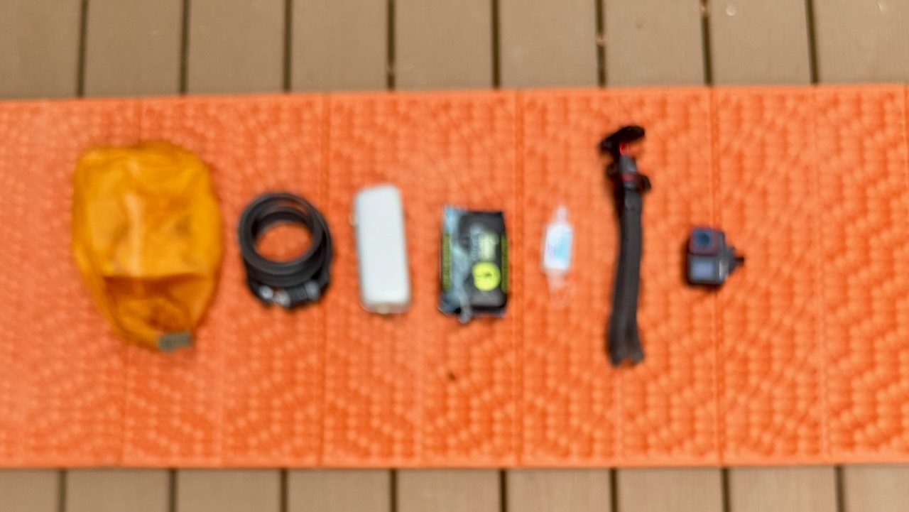
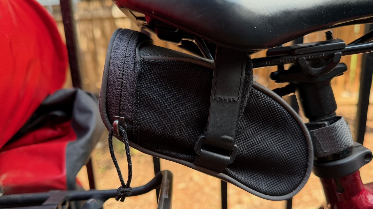
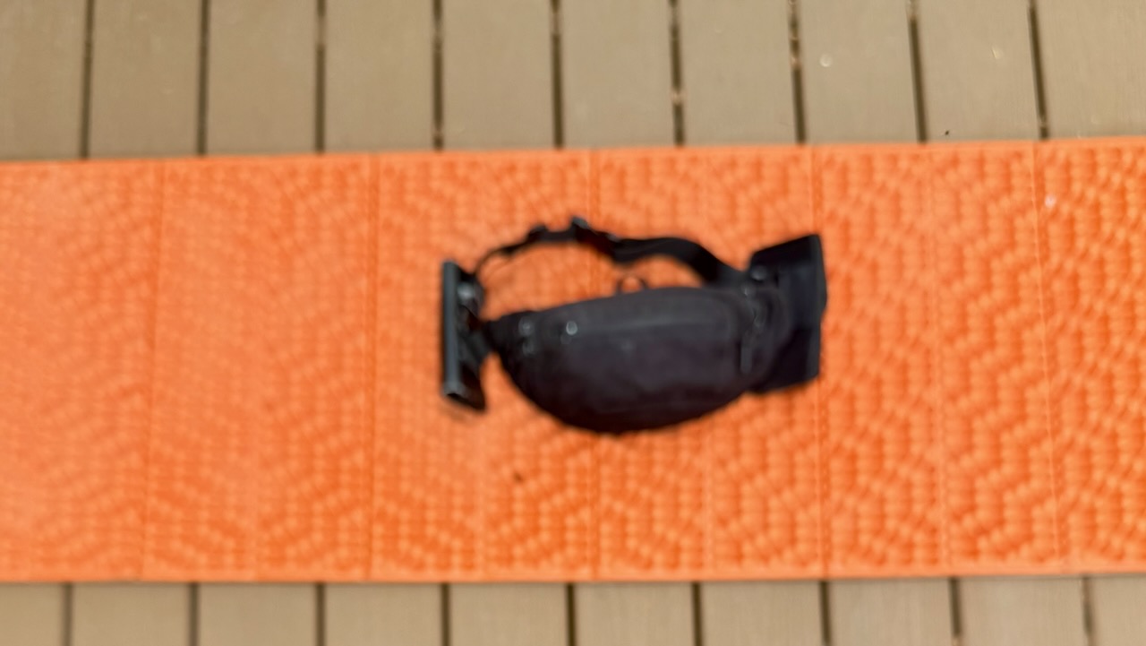
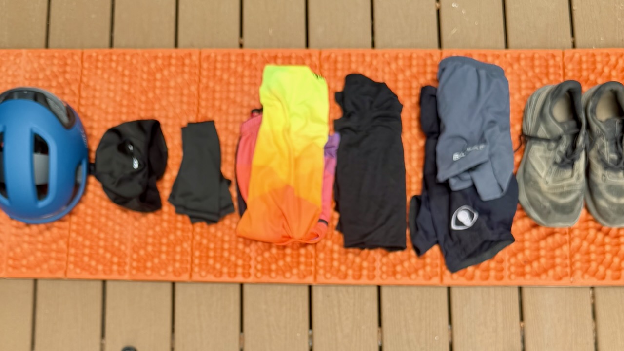
Here’s my full gear list. You can decide what I should have left behind. 😀
Risk of Heat Emergency
Personally, I love the southern California weather. Sunny and dry. Day after day of blue skies.
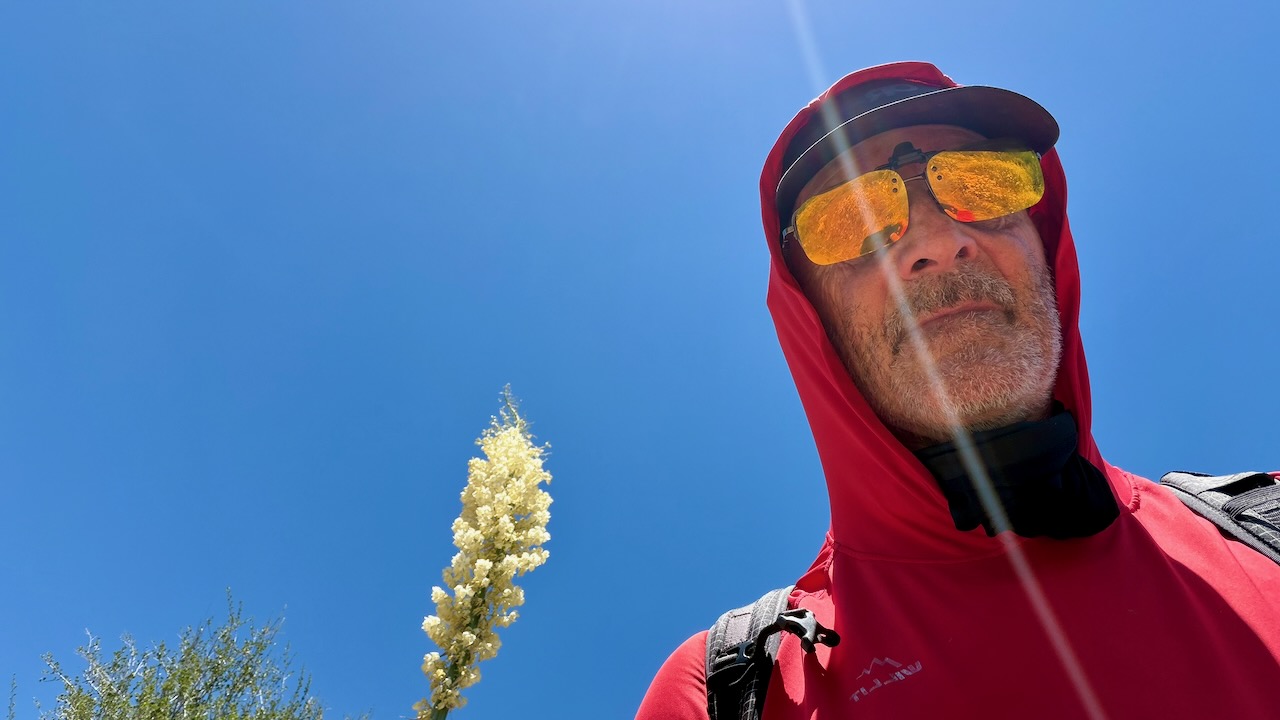
Of course I kept covered up as much as possible. A sun hoodie is essential.
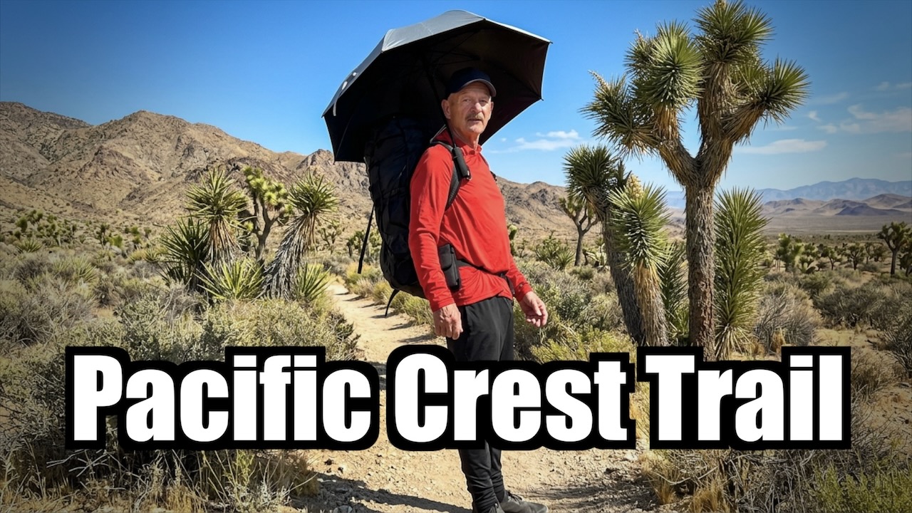
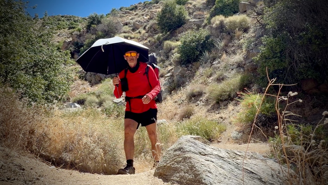
I did use a hiking umbrella for the first time. IF it was very hot. I found it easier to carry and adjust for wind often, rather than tie it on to my pack. They are popular in the desert section with PCT hikers.
Screenshot
One very experienced desert hiker known as Iceaxe suffered from a long day in the sun. Two day hikers helped get him to town where he took a zero to recover. We camped for free behind a pub.
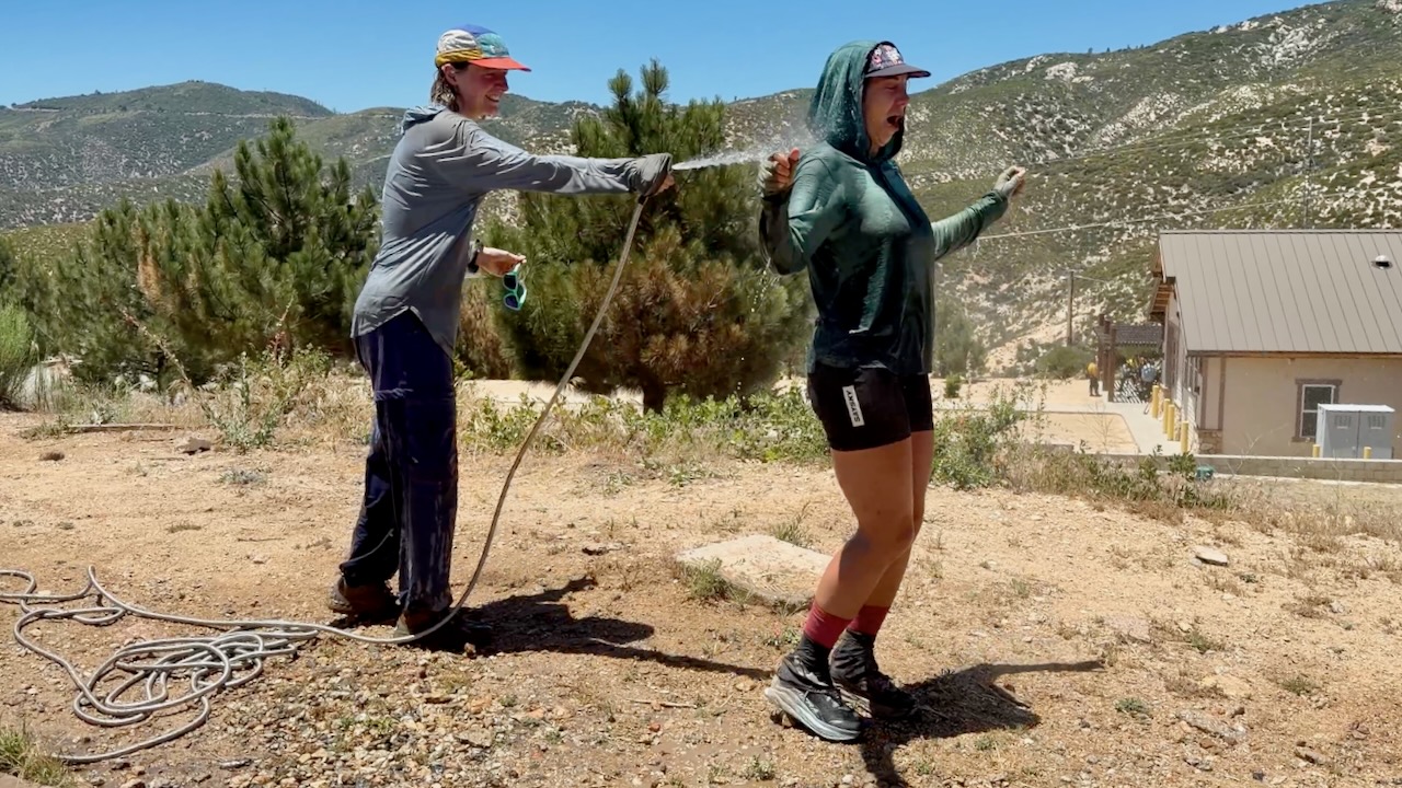
At one of the rare hoses, PCT girls gone wild soaked themselves. Smart.
Water
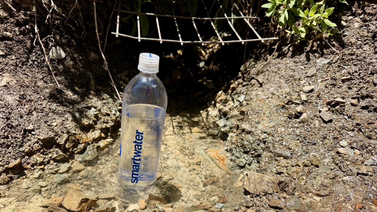
Much discussion regards water sources in the desert. And how many litres to carry. Often I started with 3-4 litres. The heaviest thing in my pack.
Most hikers filtered almost everything. For me boiling is best. If the water looked great — directly from a high mountain spring — I did not treat. If worried, I threw in a purification tablet & flavouring. Usually Mio.
I probably should have had an electrolyte replacement like Tailwind.
Trail Magic
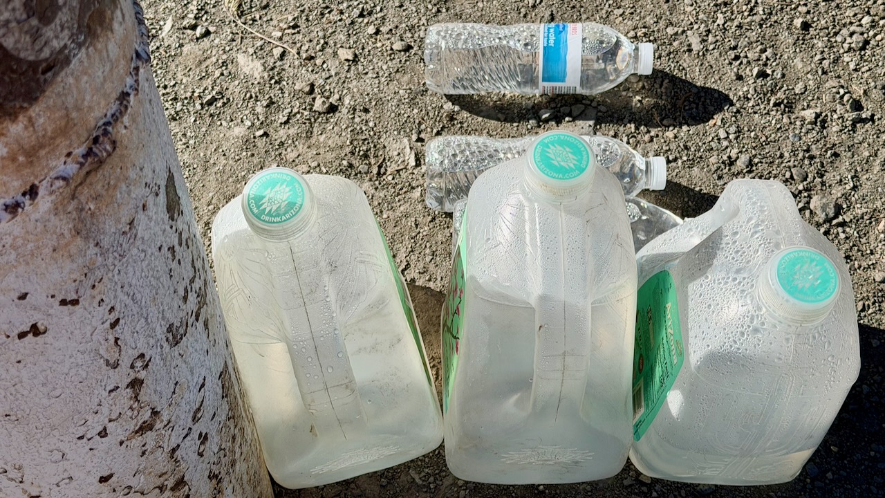
Wonderful on the PCT is when you arrive near a roadway and find that some volunteer has left water and/or treats for hikers.
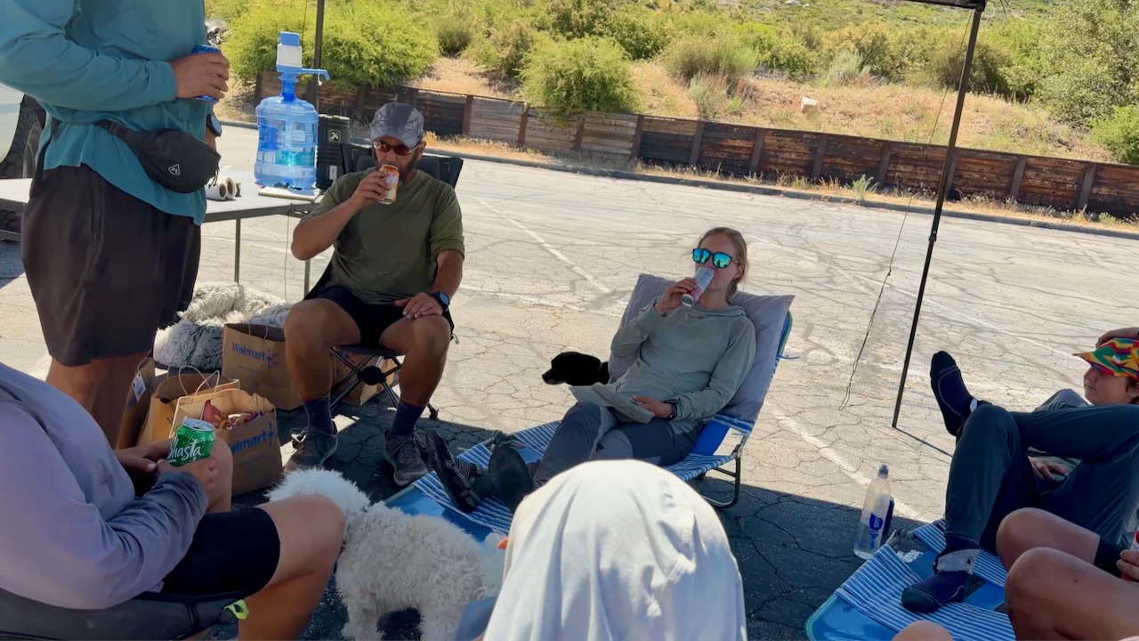
My best Trail Magic was hiking in to find Marco all set up in a parking lot.
Many hikers stayed for hours enjoying his cold drinks, fresh fruit, hot dogs, and burritos. He’d driven 3 hours from home to provide help in a tough spot on the trail. In fact, I’m now planning to join Marco on an adventure next summer.
Thru Hikers
The highlight for me was meeting and chatting with people crazy enough to want to hike continually for months. Here are 2 legends known as Canadian Bacon. They’d finish the entire PCT in 2026, their last section over a number of years.
The guy I met most likely to finish the entire PCT in one year was Roman from Switzerland. He hadn’t acquired a trail name, as yet. Here he is after one month, looking like he just got off the plane. With a budget of $10,000 and no injuries, so far, Roman’s cruising to Canada.
Cheating
From Palm Springs to Agua Dulce, 3 times I skipped miles, taking motor vehicles. Only the purists — like Roman — do every single mile. It’s often logistically smart to bypass difficult sections.
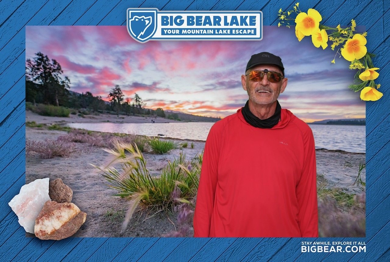
For example, I shared a Lyft from Whitewater to Big Bear to avoid a huge, hot climb.
OUT of Big Bear, however, it’s a huge hot climb of thousands of feet to the top of Mount Baden-Powell.
Food & Resupply
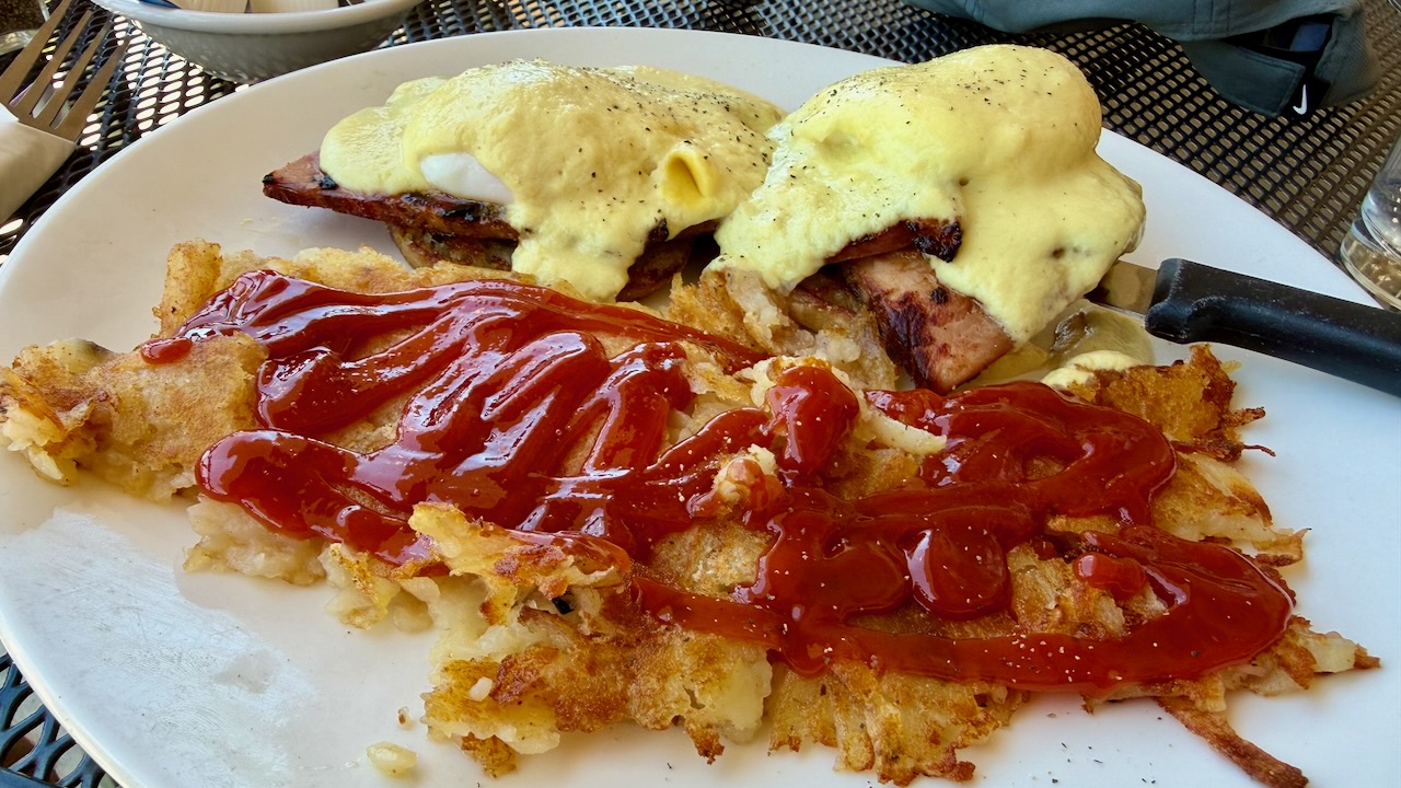
Like most others, I indulged in high calorie food every chance I got.
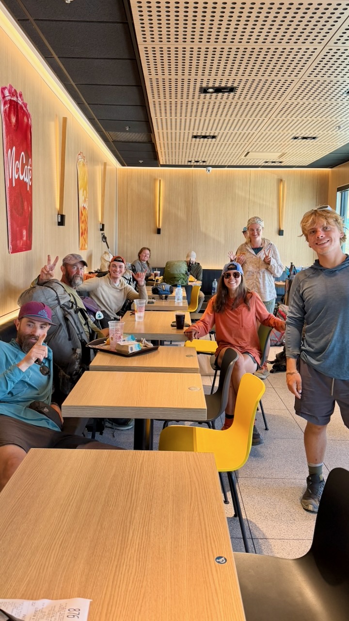
All these hikers gorging at McDonalds swear they never enter the place in their real lives.
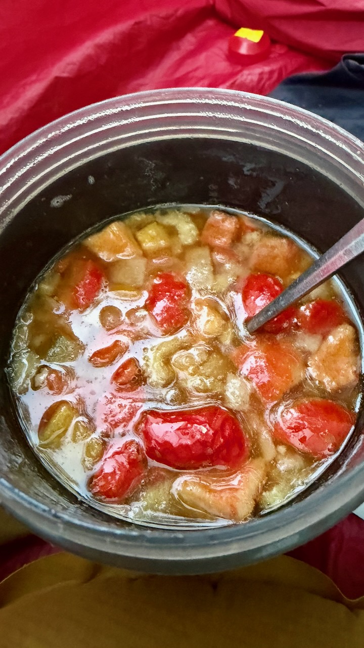
On the trail, I carried a stove and made up meals that had been flash frozen by my niece Stacey. Delicious.
Forest Fire
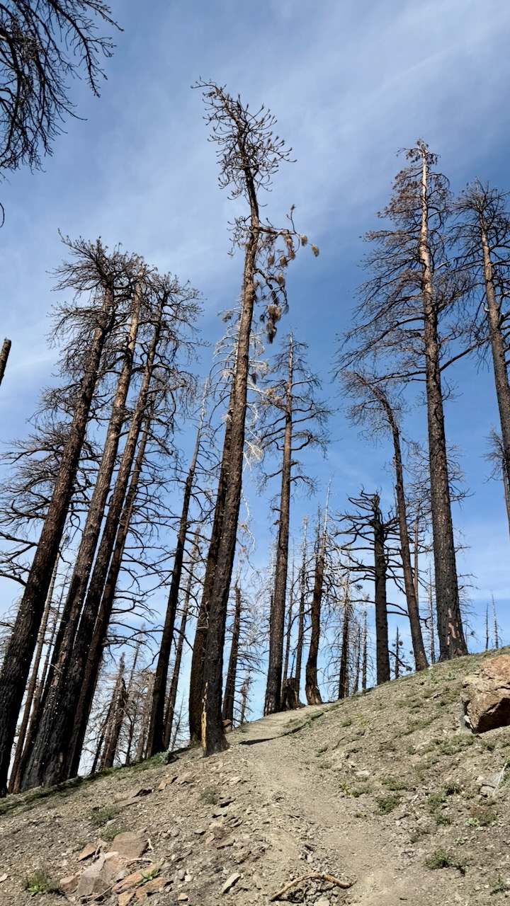
Happily, my 2 weeks were unaffected by fires in 2026. We saw smoke behind us one day. And hiked sections that had been burnt in recent decades.
Road Walking
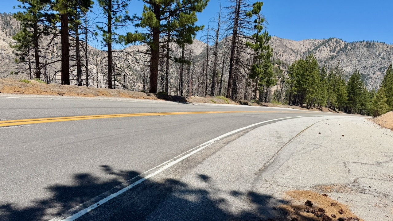
One mandatory detour had us road walking. Surprisingly, I found it a refreshing change.
Navigation
Almost everyone uses the expensive FarOut PCT app. It works offline and has some up-to-date comments on waypoints that are super valuable.
On the other hand, the interface is ugly and not detailed enough. I often switched to the free Maps.me app offline. Every hiker gets lost, sooner or later.
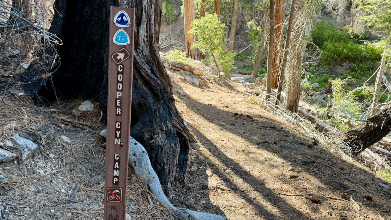
There is signage. But it’s not always clear which way to go when you reach an intersection.
Ticks and Snakes
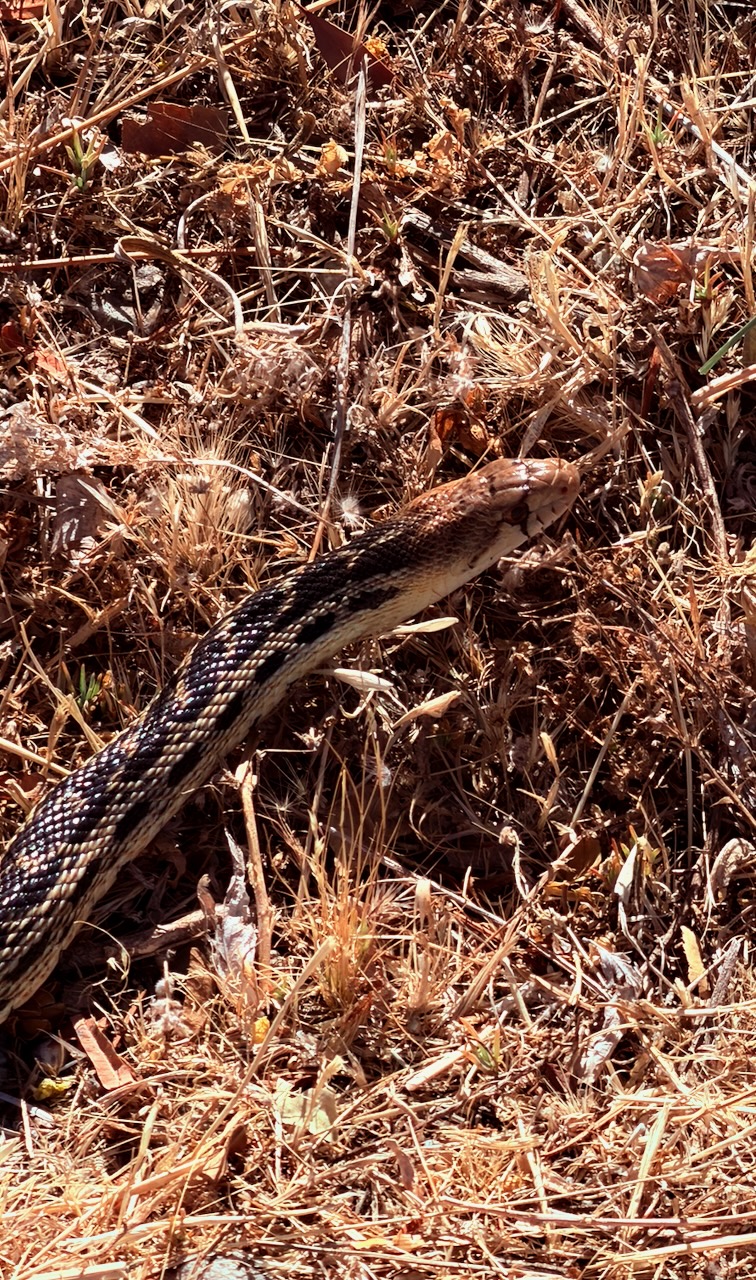
I found one tick on my leg. Removed it before a bite. And saw one tick on a leaf.
It’s an issue, for sure, in southern California. I carried tweezers specifically for tick removal, if necessary.