Eric is one of the top hiking YouTubers. One of the reasons I signed up instantly when he posted this trip is for the superb video documentation.
Before you sign up for Kili, watch his 43 minute documentary in 4K.
Sure Kili is one of the easiest trekking peaks close to 6000m — but it ain’t easy.
This guided trek on the highest mountain in Africa is as good as it gets. Eric worked with Zara Tours, the biggest outfitter on the mountain. TrovaTrip handled logistics.
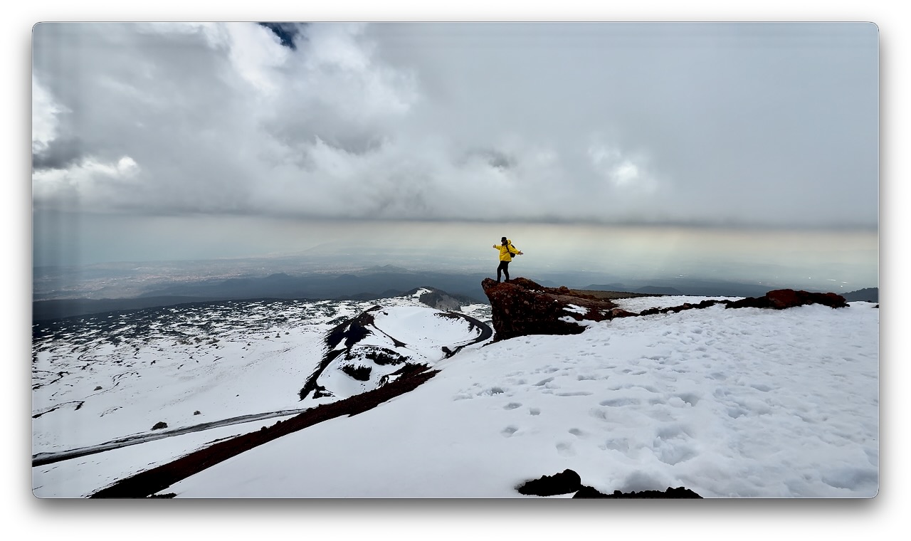
Should have done some research. Summit trekking peak tours of Etna generally operate from April through November, with the main hiking season starting around May.
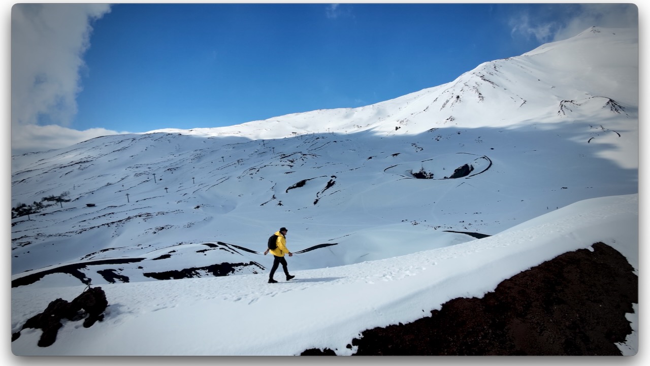
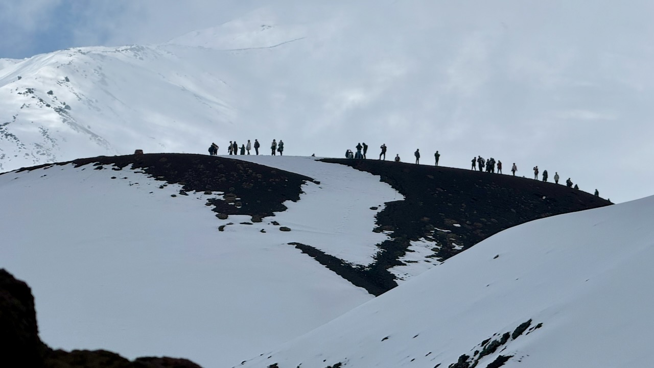
I arrived late March. There was a LOT of snow, even around 1900m. It can be 10–15°C cooler than in Catania. Many tourists arrive underdressed. And with footwear better for the beach than snow. 😀
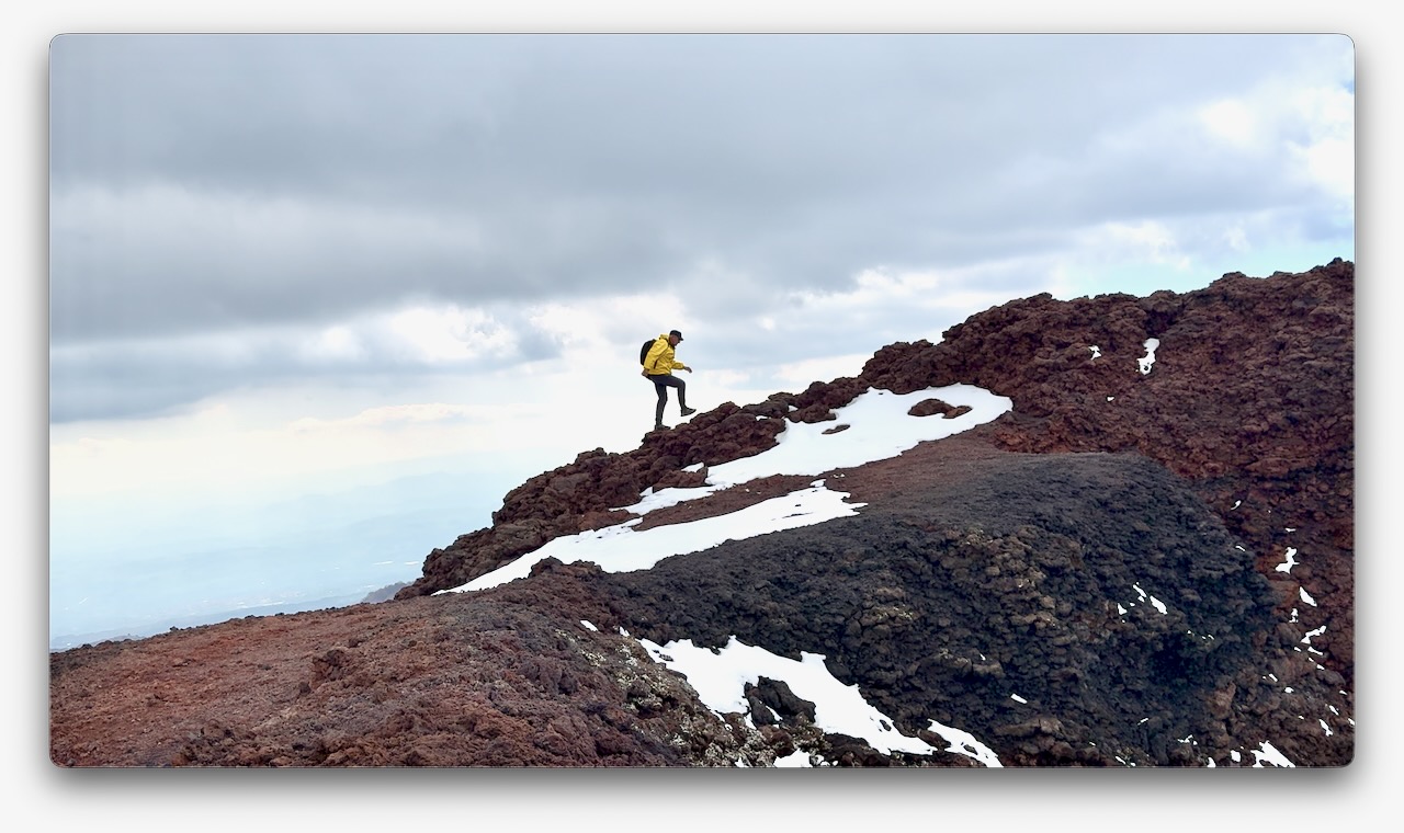
Volcanic rock is somewhat sharp. It can cut flip-flops. I wore approach shoes and was OK on the snow and ice. Coming from Canada, this was normal for me. I didn’t see anyone using any kind of ice cleats.
They ski and snowshoe here. There are 2 small ski resorts.
I’d flown into the jumping-off point for Etna, the city of Catania.
There are dozens of options for day hiking Etna, from dozens of companies. It’s confusing.
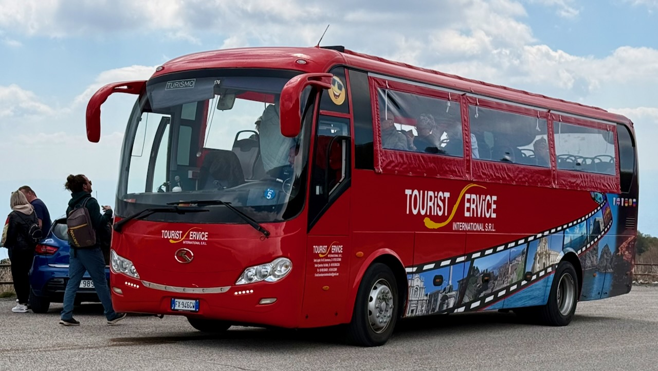
My hostel recommended a day trip by bus offered by Tourist Service for €30, discounted from a posted €35 regular price. Since their office was right next door to my accommodation, I signed up.
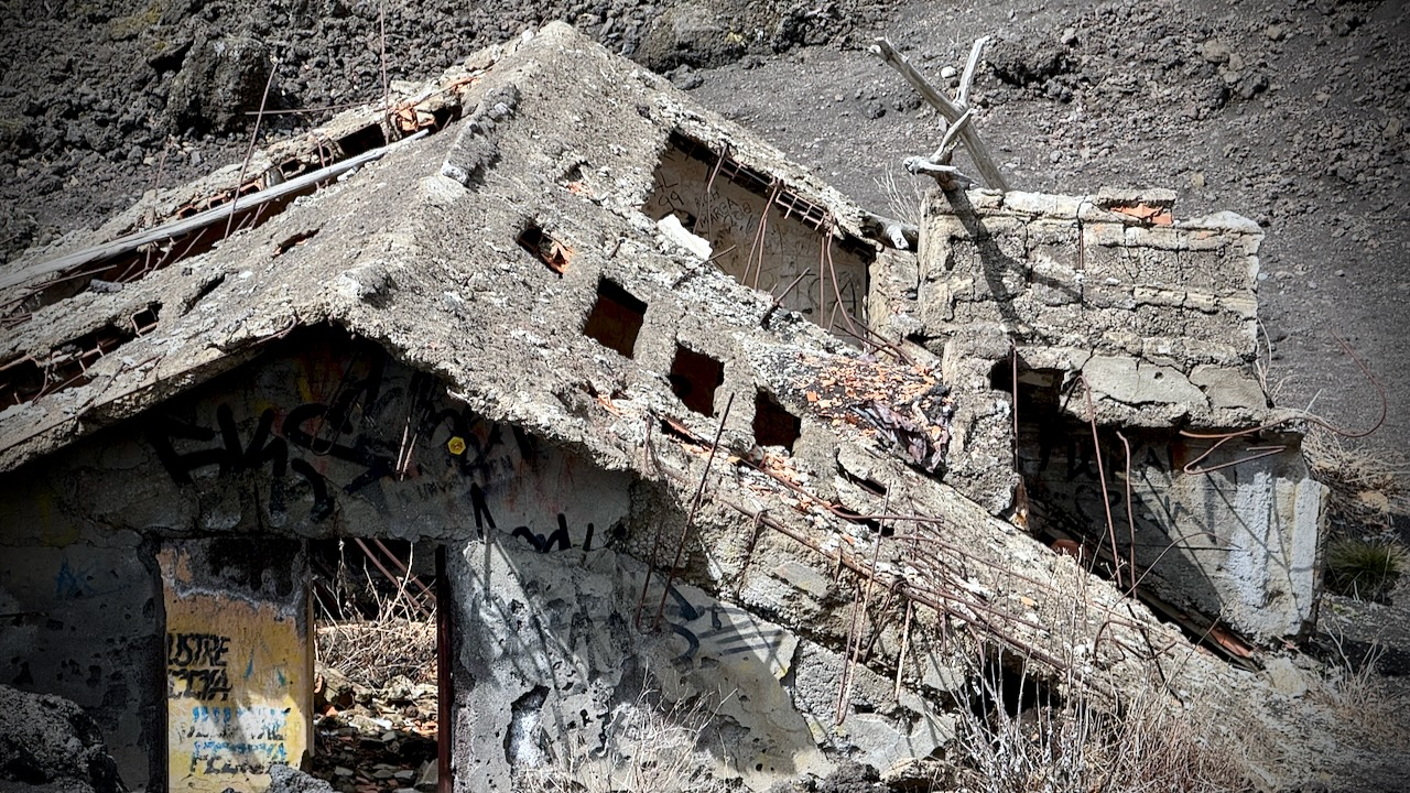
It’s about 2 hours (with traffic) to Etna from the city. On the way up, we stopped to see a recent example of eruption damage. Yikes. This mountain has killed a lot of people over the centuries.
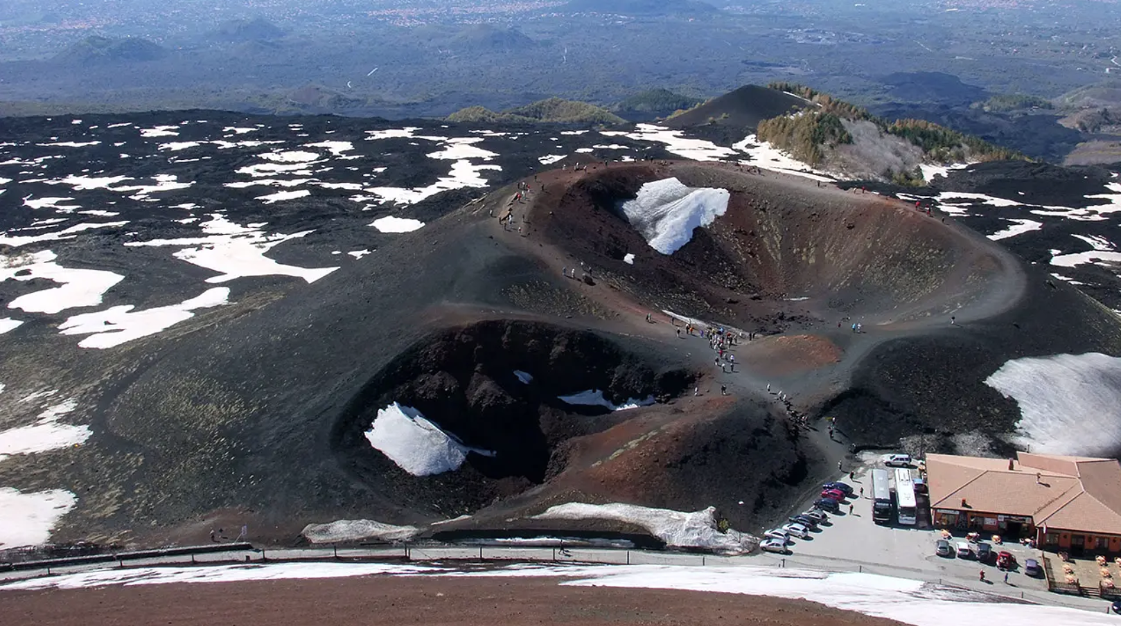
Bus delivered us to Rifugio Sapienza at around 1900m on the more popular south side of the mountain. A bit of a tourist trap. The north trailhead (Piano Provenzana) is better for offers wilder hiking trails and fewer crowds.
From Sapienza you can take a cable car up to 2500m. It’s expensive at €54 return when I was there. And you can hire a 4×4 contraption to pay even more. Guides are required at higher elevations.
I opted to stay close to the Rifugio Sapienza trailhead, saving my money for a summit climb some time in future.
There’s an additional €5entry fee for the Silvestri Craters on the south side. Well worth it. The highlight for me.
It’s only about 1km to circumambulate all 5 craters — but they are scenic.
With an hour left before my bus departed, I climbed the most conspicuous cone.
Driving your own vehicle to Rifugio Sapienza is a good option. And there’s a public bus €6.60 return — but it leaves Catania very early. Returns very late. I assume that service runs mainly for employees.
We had 22 hikers. 18 of us made both summits. That’s about typical for the Machame Route. It went well for me. My 3 weeks training & acclimatizing in Ecuador prior to this trip was a good idea.
Kili Summit Ridge
Age & fitness matter much less than the ability to acclimatize to altitude.
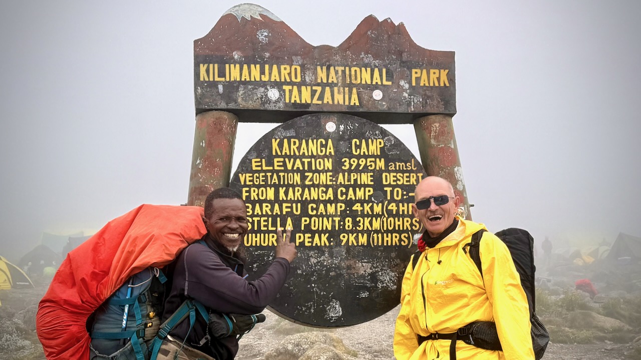
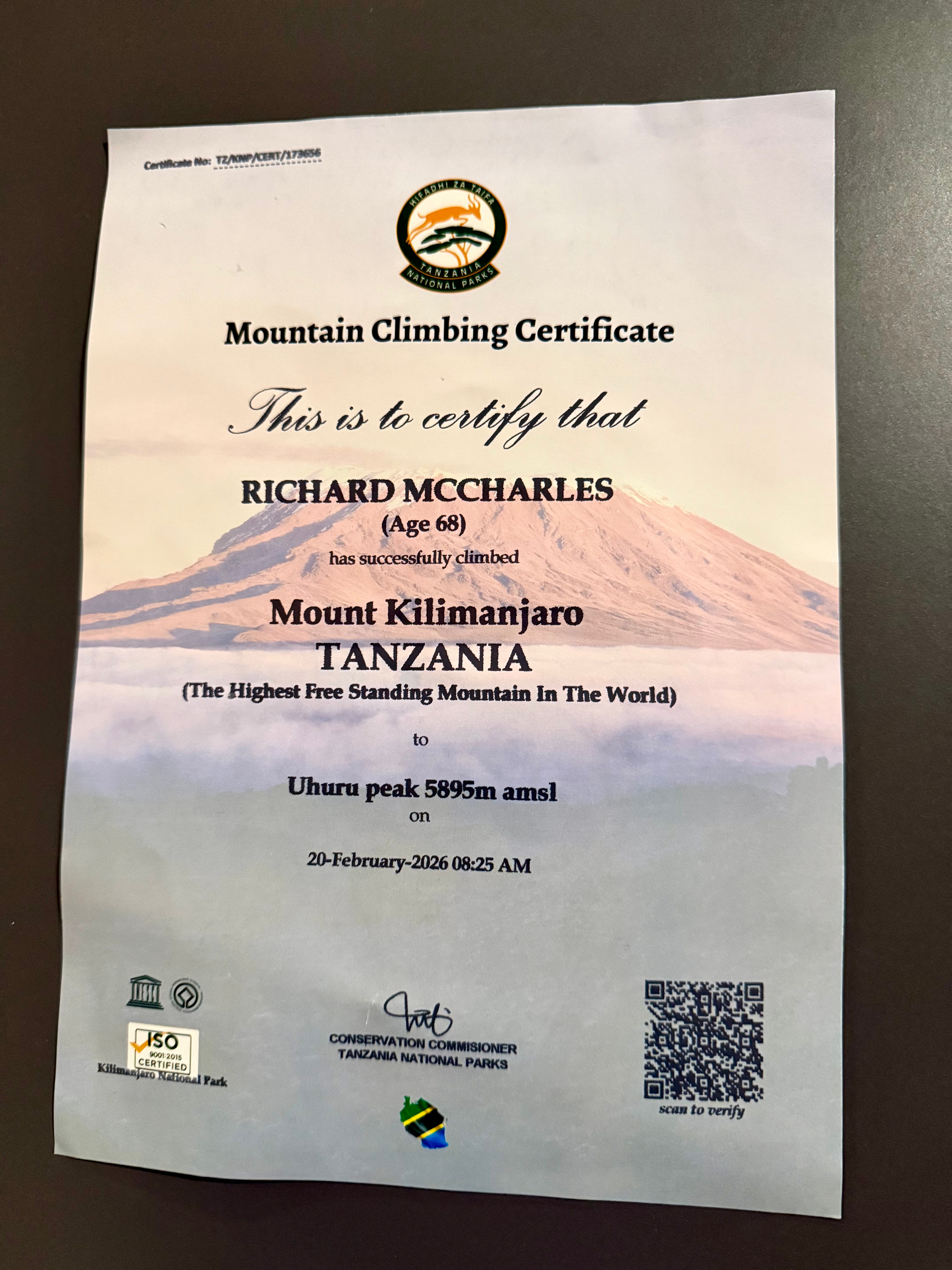
It took me 68-years to finally get to Kilimanjaro. The eldest my African guide got to the summit was 79.
We had another in our group age-66.
Truly impressive is one of our assistant guides who’s been to the summit over 200 times over 31 years. He’s age 64.
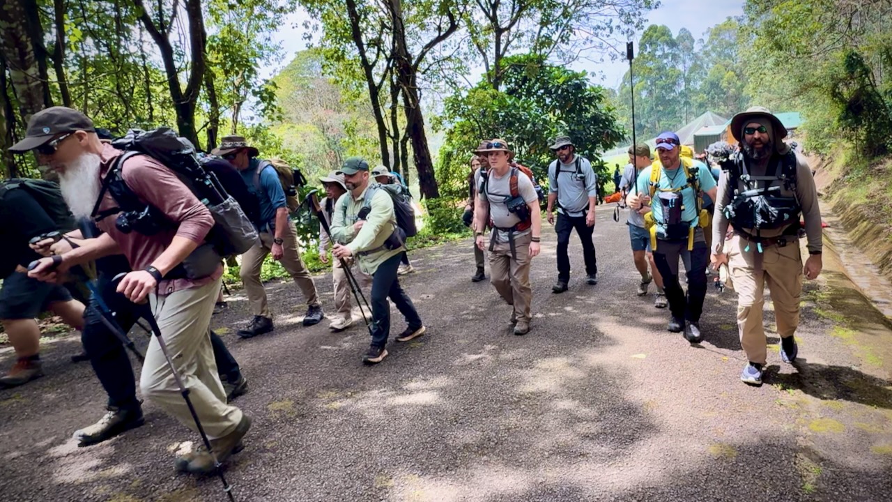
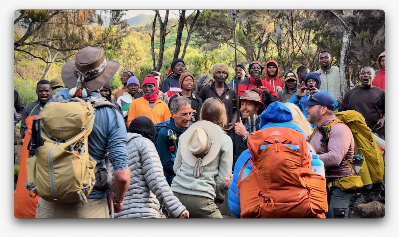
Here we are — clean & keen — at the start of the 7 day adventure.
In fact, it was a party from the start as many who had hiked with Eric in the past joined for Kili. I was simply an addition to a large group, many who knew one another. This is a very social adventure ➙ shared suffering.
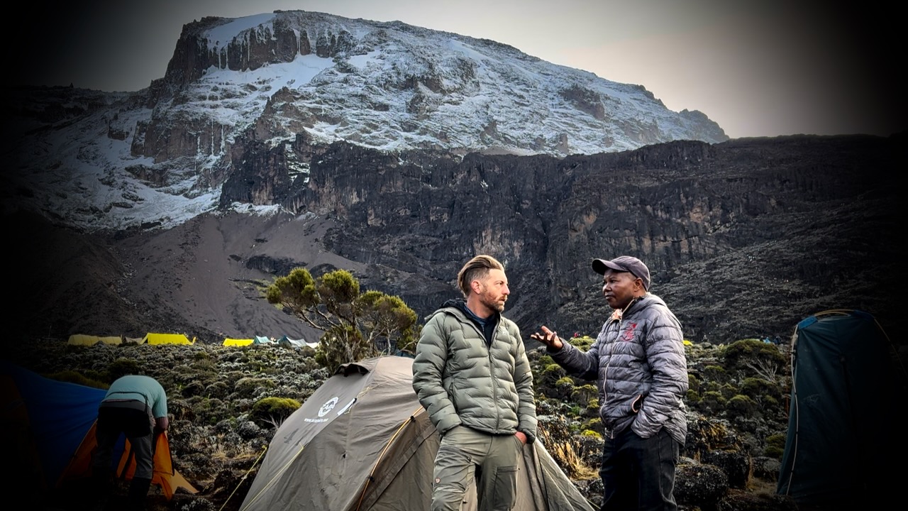
Eric was our American guide. Freddy our African guide. Both responsible for keeping us safe. It was these two who’d make the decision whether or not you were healthy enough to keep climbing.
Those who decided to go down were unable to acclimatize quickly enough. We had daily blood oxygen tests.
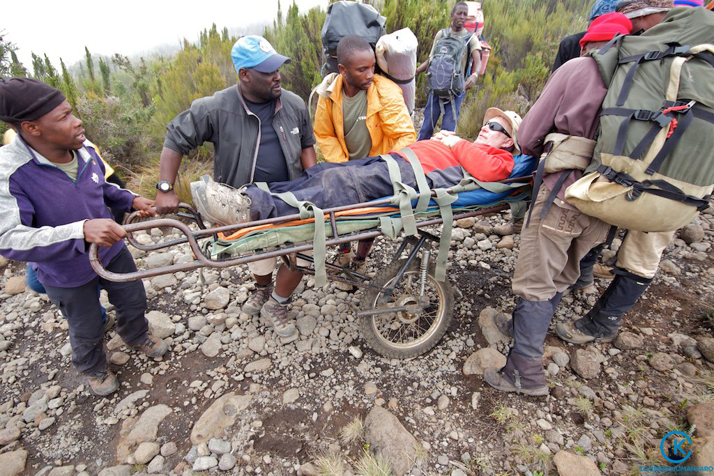
Three decided to walk out. One took a helicopter, hoping she will recoup the $4100 cost through insurance.
New to me on a trail was the singing and dancing. Non-stop. To the top.
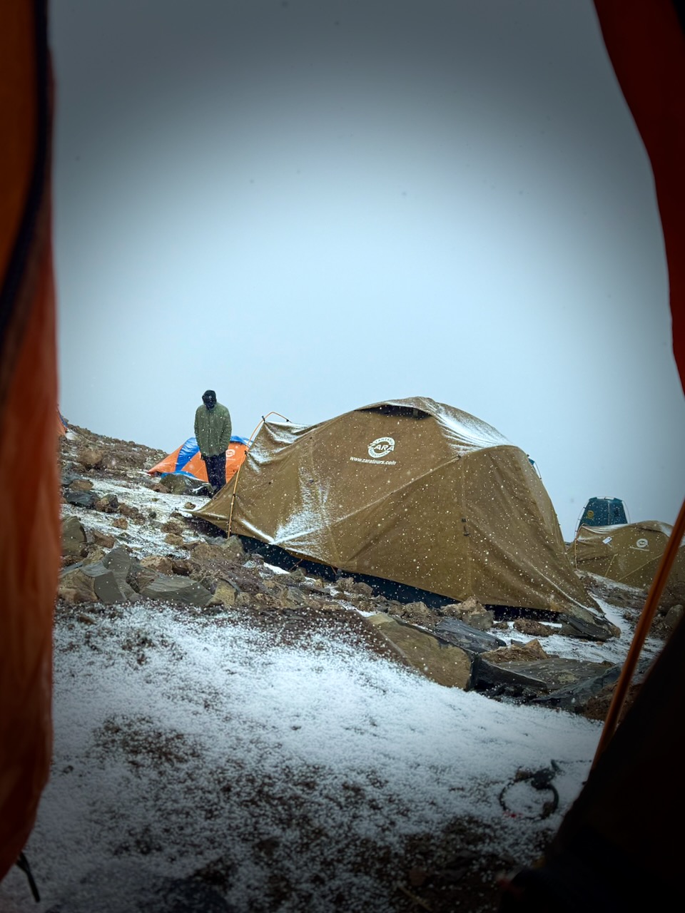
Oddly, all 7 days we had the same weather. Some sort of micro-climate.
Morning clear. Sunny to start the hiking day. Snow, sleet, and hail in the early afternoon. Clearing by dinner time. Clear skies at night. Kili summit clear at dawn.
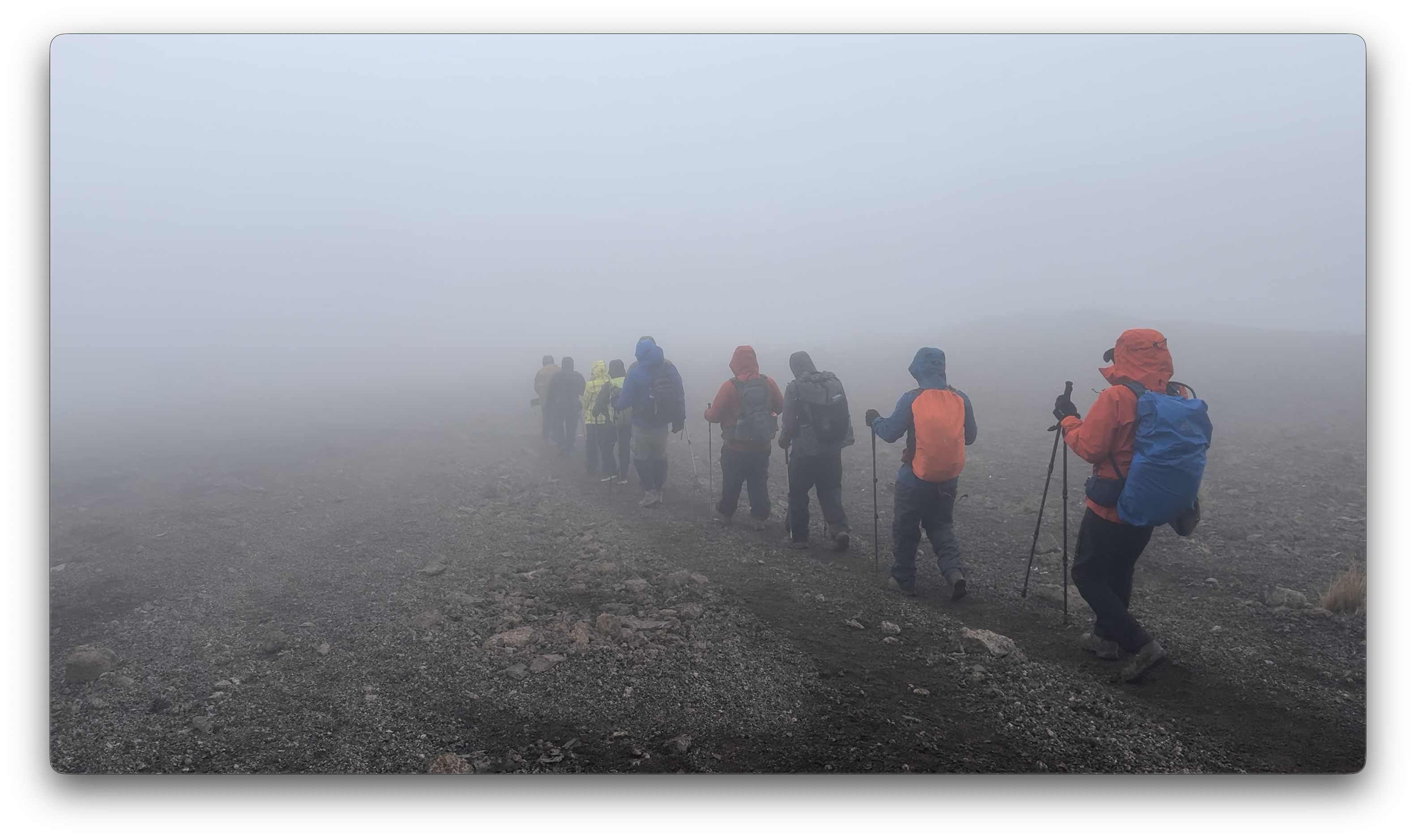
We added and removed layers non-stop during the day.
Each day we spent some time hiking through clouds.
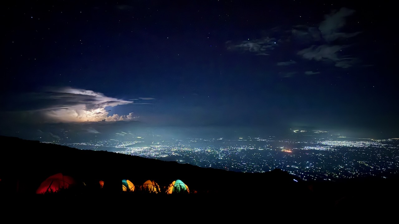
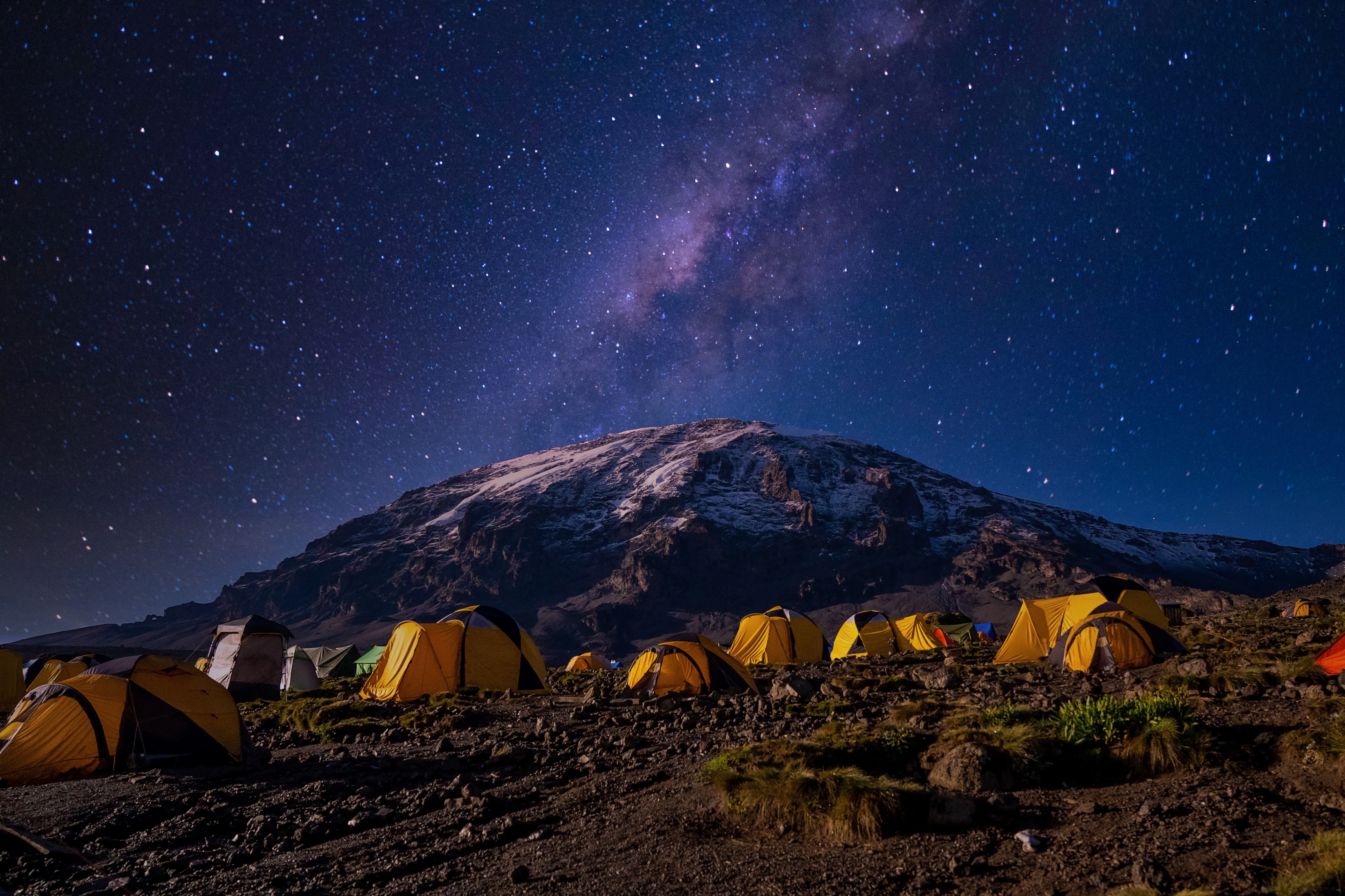
We mostly had clear skies at night. The iPhone 16 Pro is terrific at night photography on a tripod.
I’d paid a little extra to have a tent to myself. It was fairly comfortable — though many of our tent sites were far from level. 😀
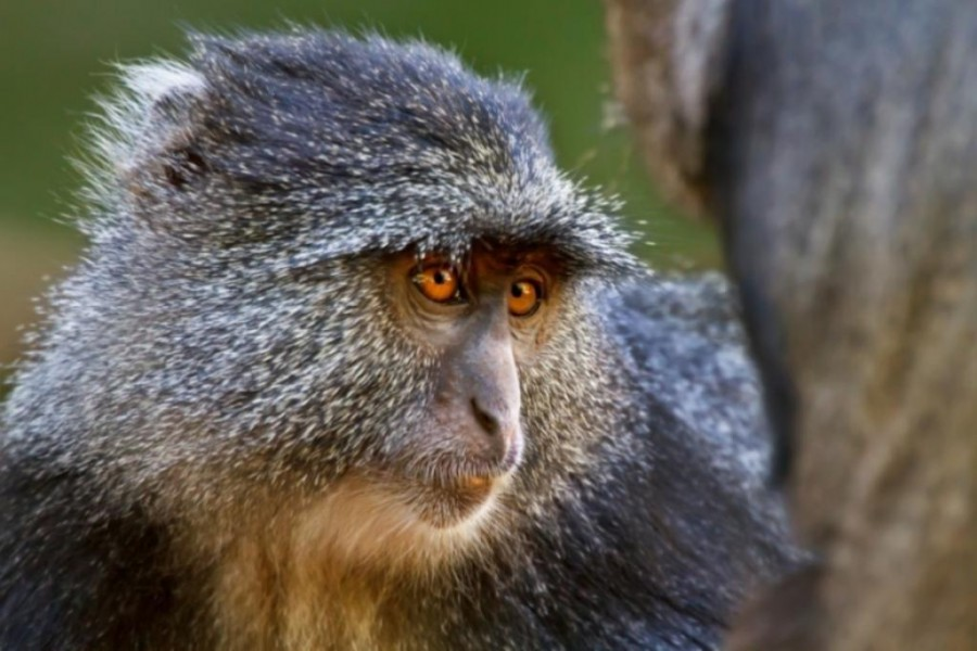
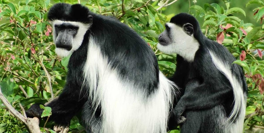
We were happy to see two kinds of monkeys. But both were at lower slopes, close to the start and finishing gates.
Blue Monkey.Black-and-white Colobus.
Baboons and velvet monkeys have been spotted, but rarely.
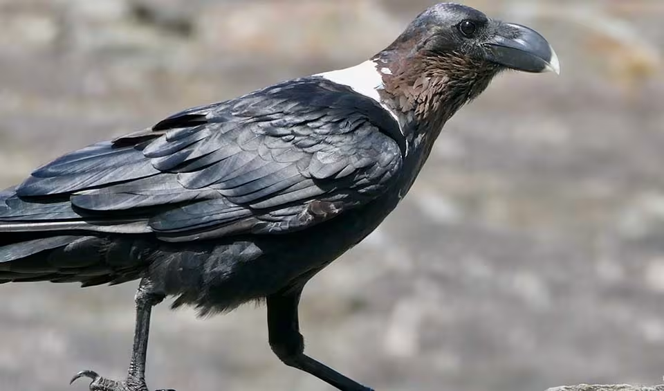
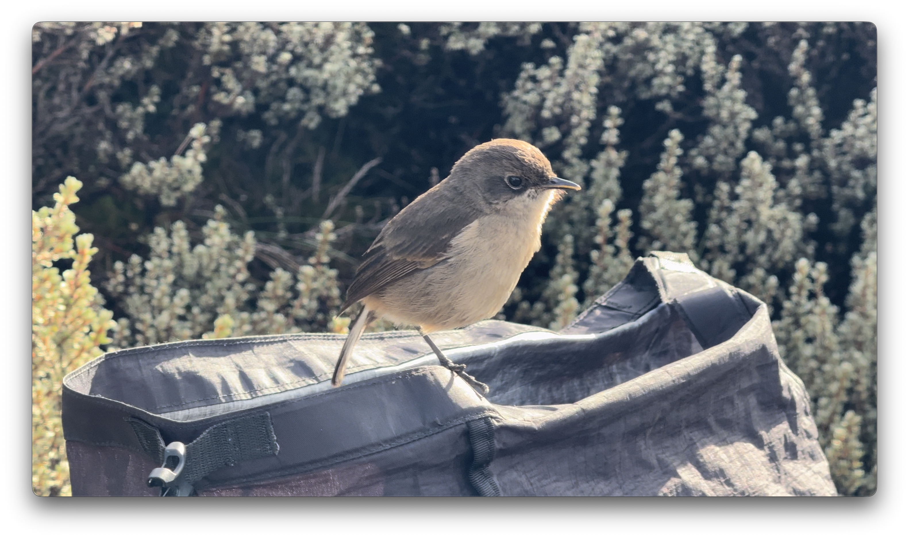
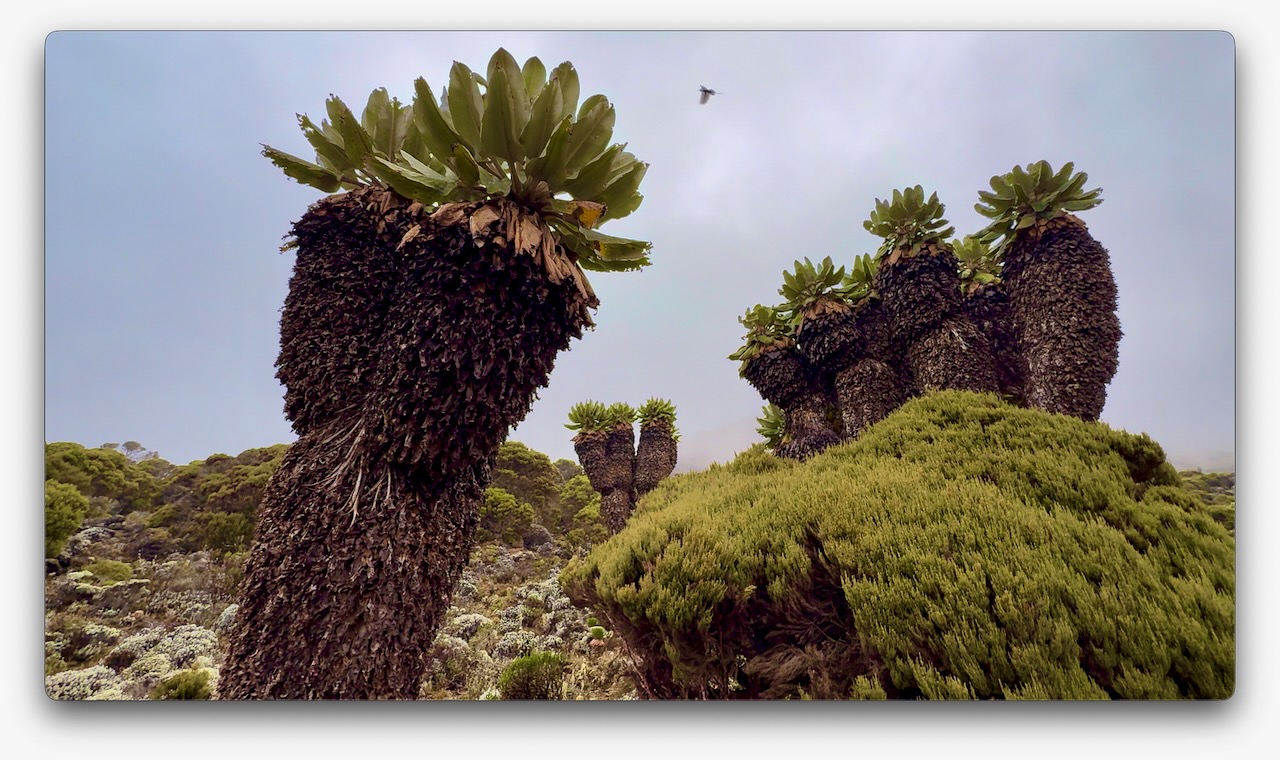
This bird took a dump in my backpack. 😀
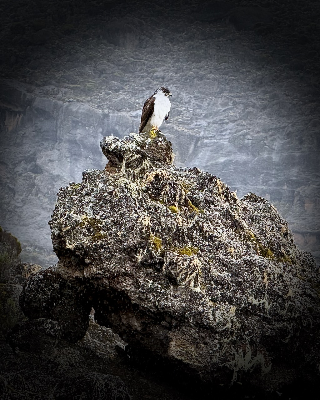
Vegetation was much more interesting as we climbed through so many different ecological zones.
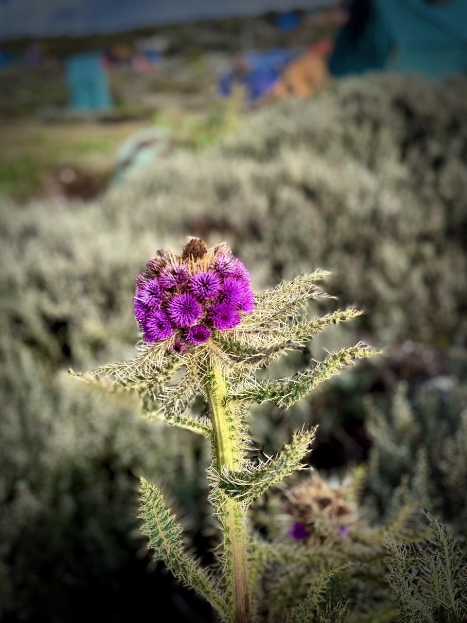
I do love thistles.
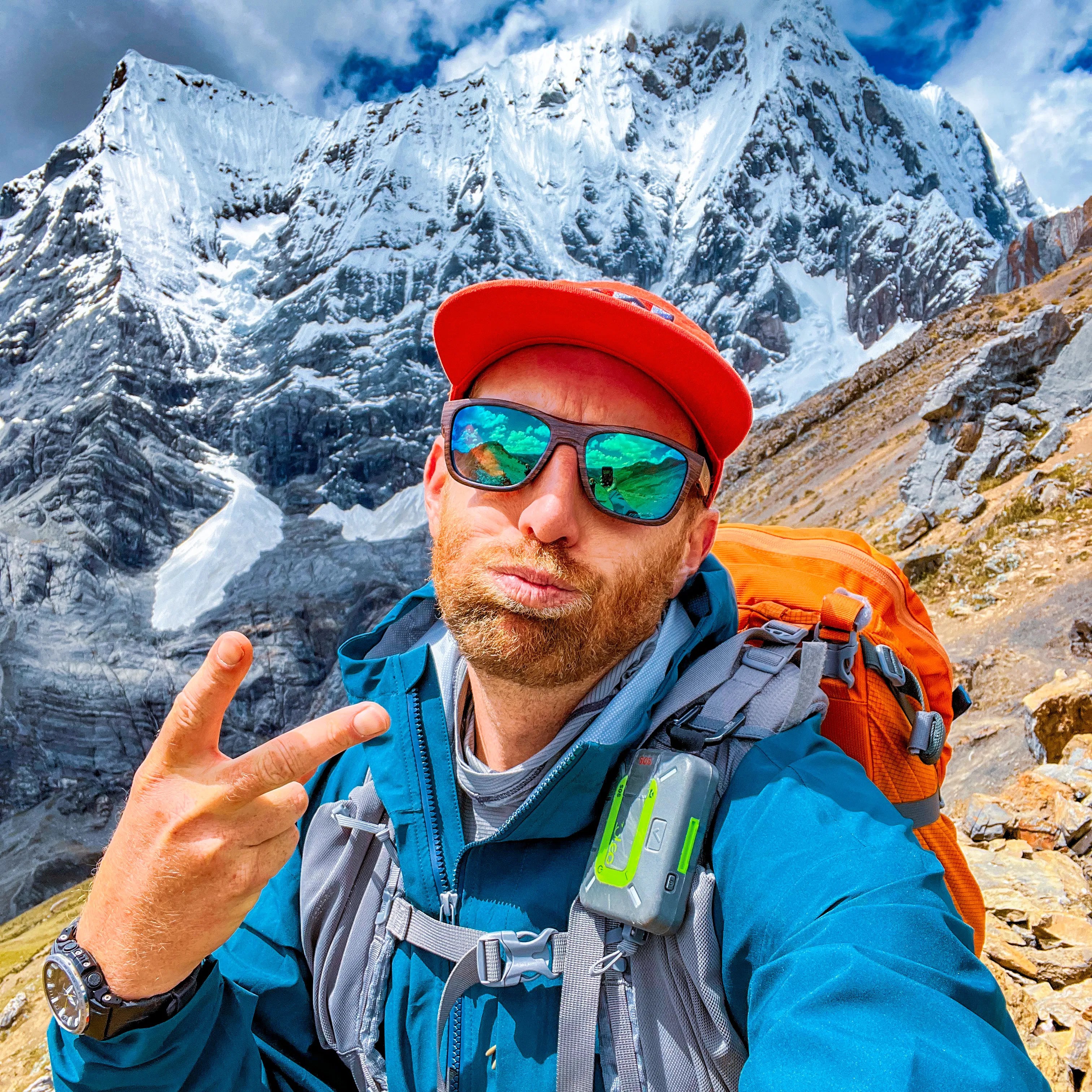
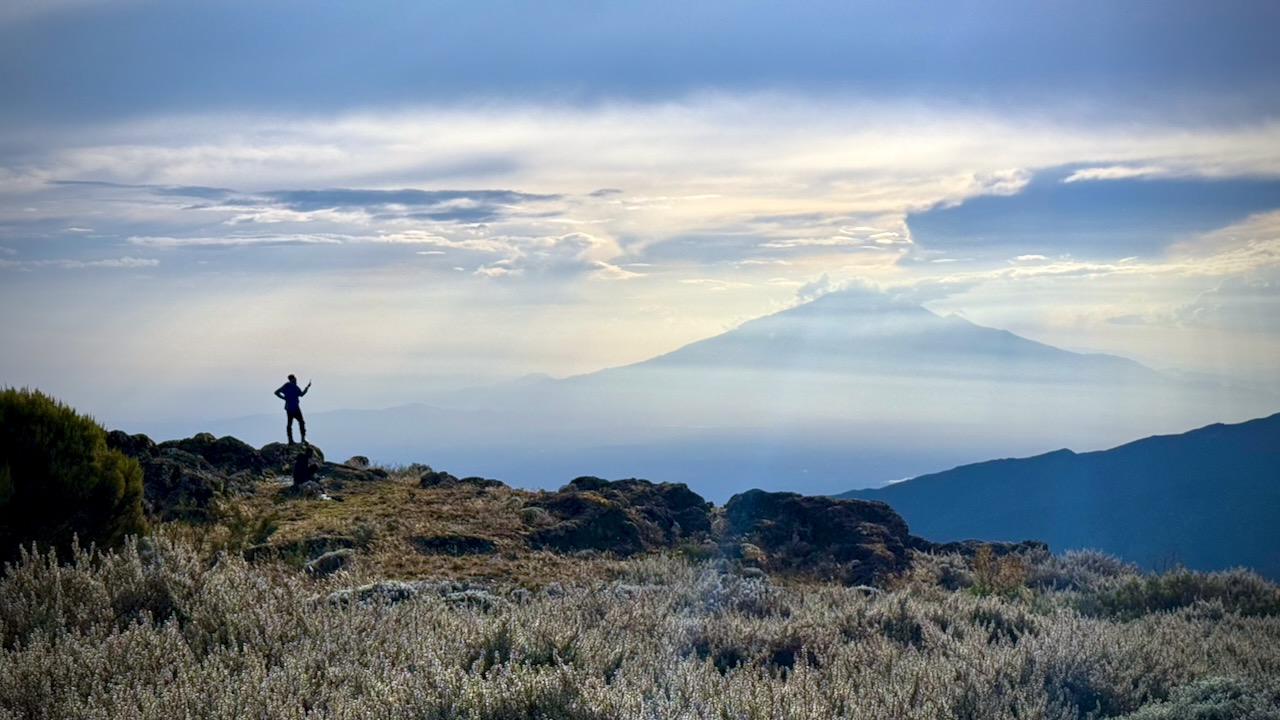
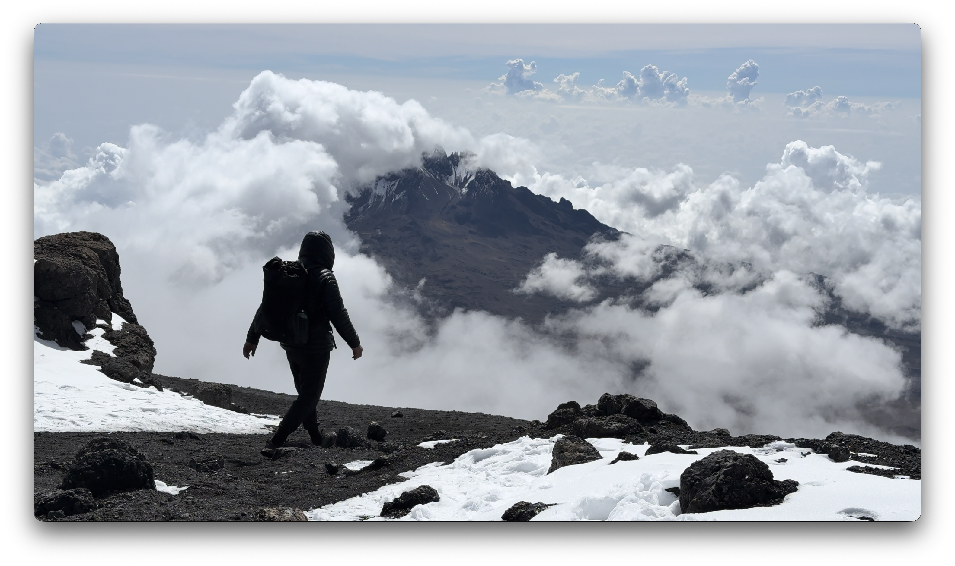
We had great views over to nearby Meru volcano. When you see hikers posed like this, you know they are searching for line-of-sight mobile phone reception. 😀
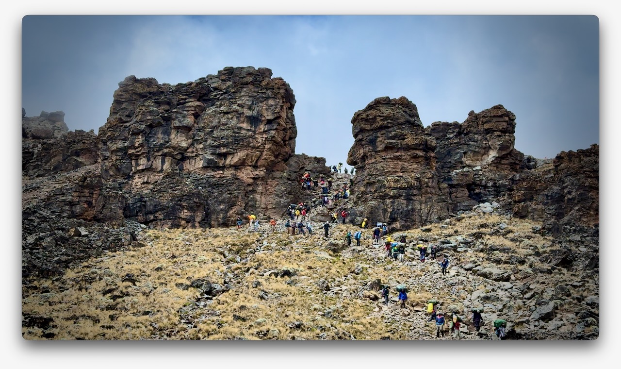
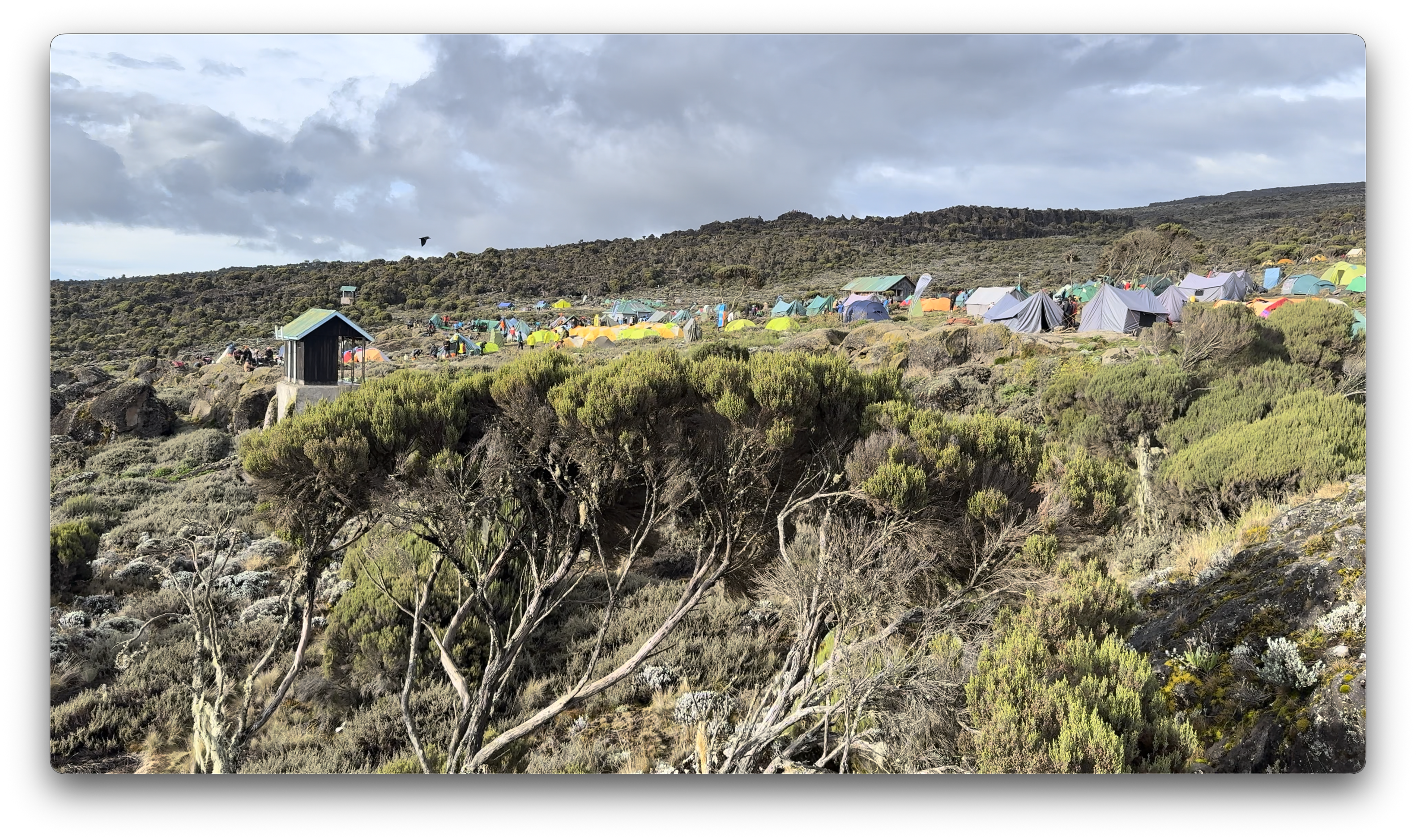
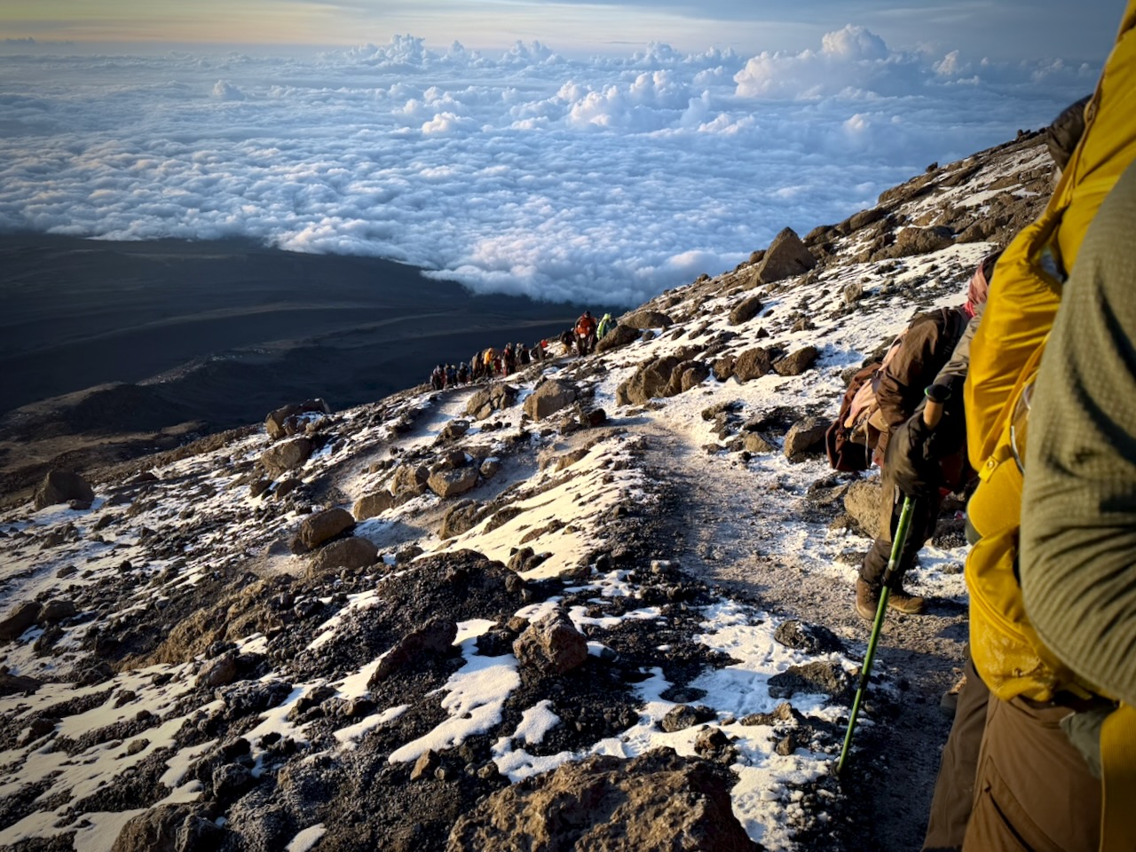
The Machame Route was crowded when I was there. We often had long lines of hikers & porters.
Camps are crowded and littered.
Personally, I felt the portable toilets provided weren’t great. I preferred squatting over a hole in the concrete in the permanent toilet buildings.
Hygiene is not top of mind for any of the guiding companies. In particular, I was surprised alcohol gel was not constantly provided.
That said, nobody in my group got sick from water or food.
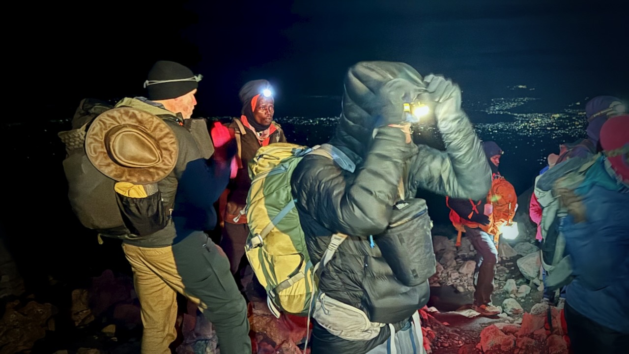
CRUX of Kilimanjaro is summit night. One of the toughest hiking days any of us could recall. I felt perfect. No pain. No problems … when starting.
Wake at midnight. Hot drinks 12:30pm. Start up at 1am.
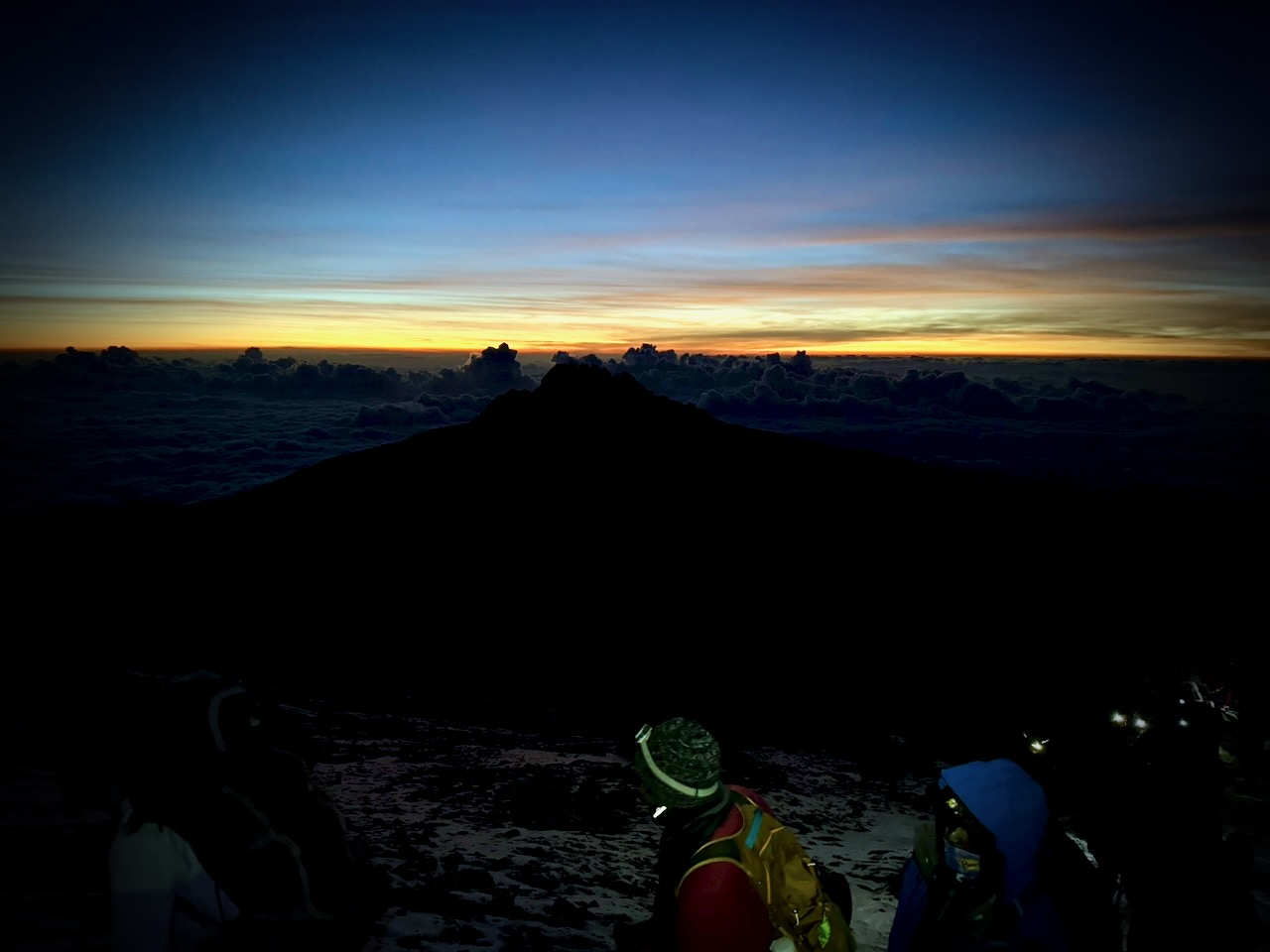
It was a slow, cold trudge until dawn.
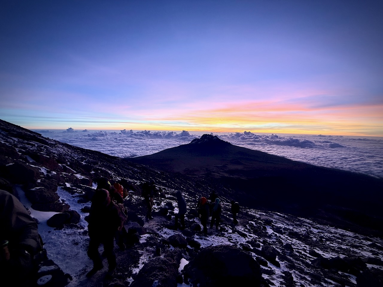
We had an ideal view of the changing light.
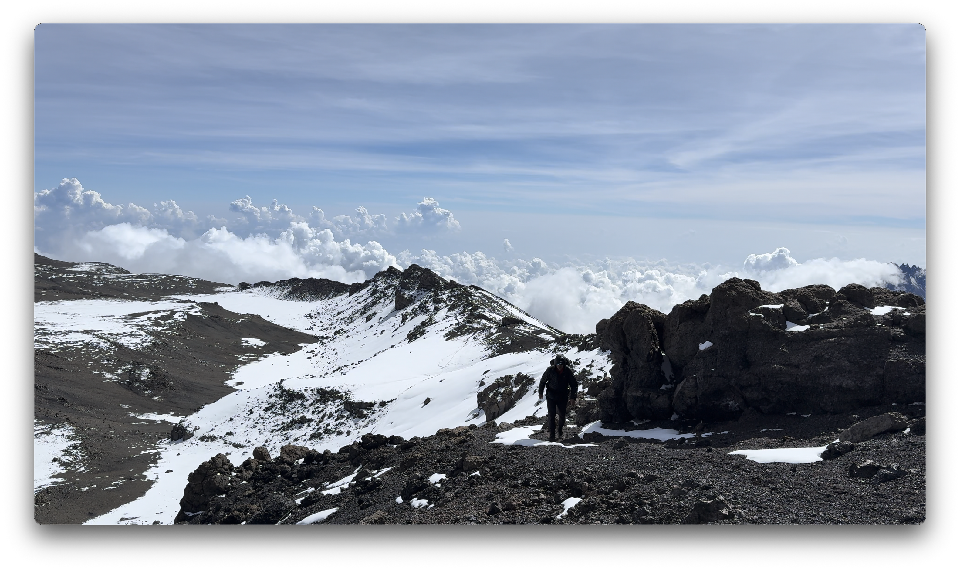
Way above the clouds.
We finally reached the first summit peak. And on perhaps another 35 minutes to the highest peak.
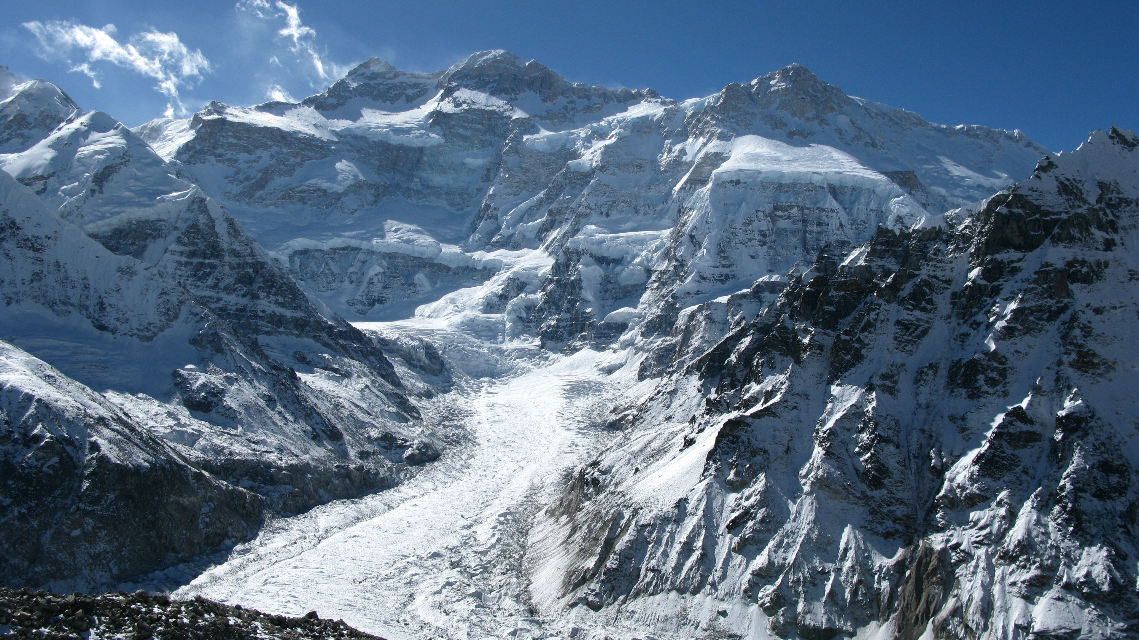
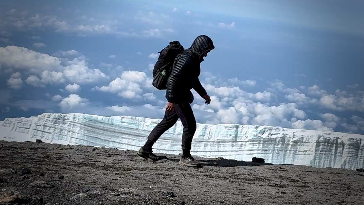
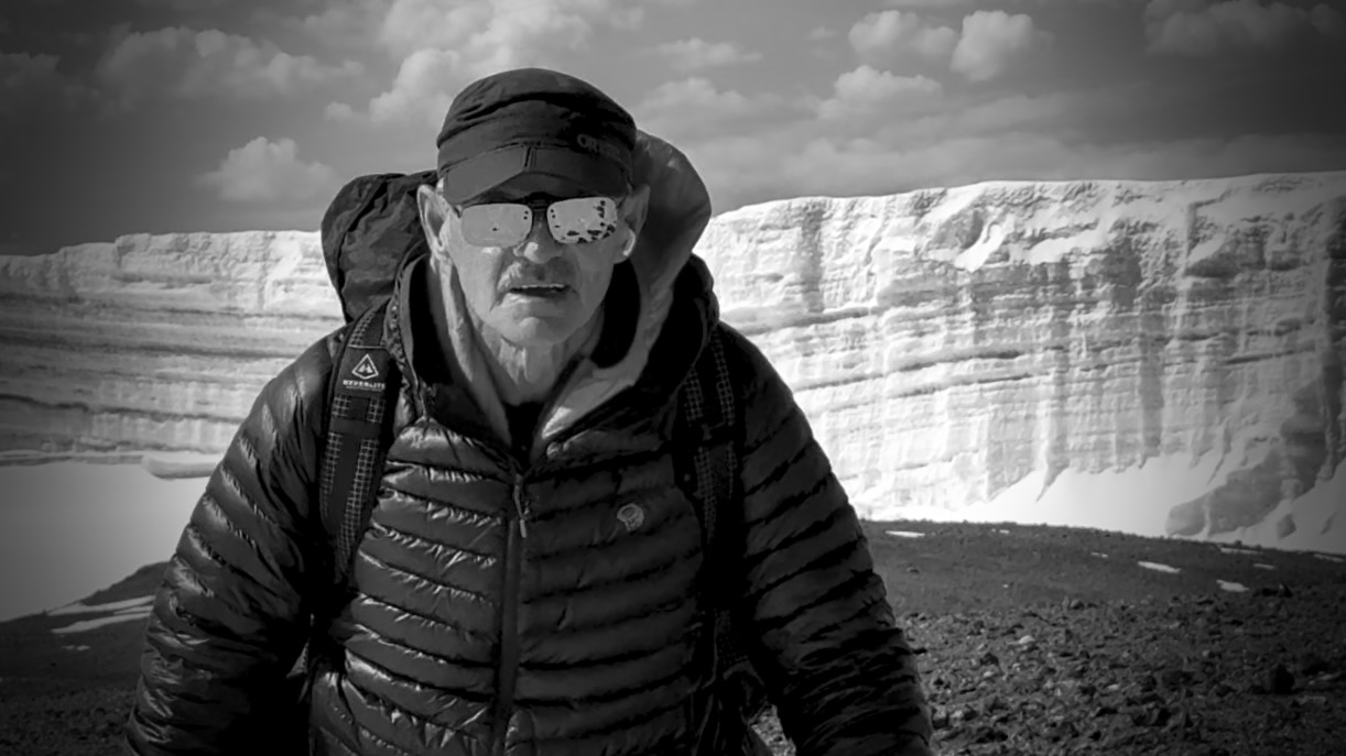
I took a LOT of photos and video up there. Most impressive were the odd, receding glaciers.
That was the FUN part.
Guides hustled us down as quickly as possible to avoid altitude sickness. We climbed down 8000 feet, not getting into low camp until 6pm or so. I ascended & descended for 16 hours, grabbing 1 hour sleep around noon.
Sore knees. Sore toes. And cramping quads.
Highlight?
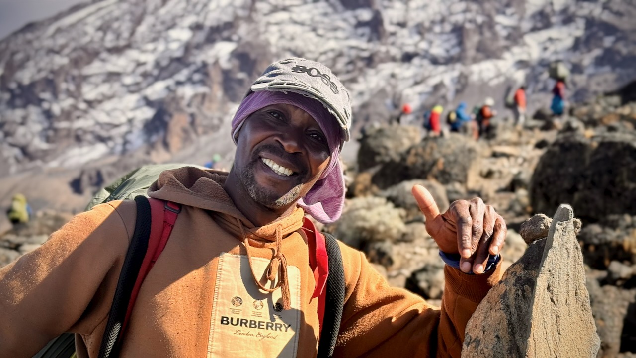
Most would agree that the porters, guides, and staff were the most impressive takeaway from this adventure. We probably had over 100 staff taking care of us over the week. And these folks will do positively anything you request.
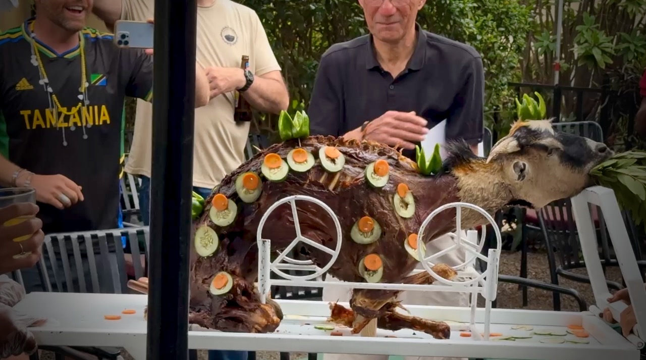
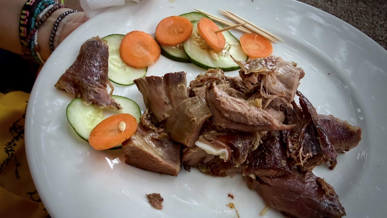
Back at the hotel, we celebrated with alcohol and devoured a full roast goat. Delicious.
A hiker died on Kilimanjaro while I was there. Reported heart attack.
On December 24, 2025, a rescue helicopter crashed, killing all 5 people on board. Two were hikers being evacuated.
10–20 deaths annually out of 30,000+ climbers.
I wrongly thought Kilimanjaro would be easy for me. It wasn’t.
Cristina Calvillo Tovar, 37, and Julian Garcia Pimentel, 36 — Nadine Lichey, 45, and Andreas von Pein, 52 — and Victoria Bond, 40.
Could these deaths have been avoided?
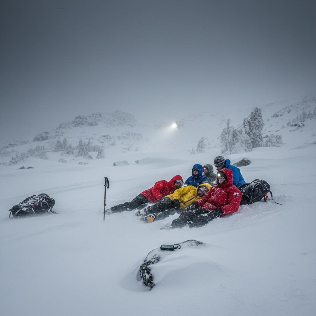
… On November 16, the weather was mild, and the usual number of hikers, 40 or 50, crossed the pass without incident. By that evening, those who would suffer the worst of the storm had converged at Los Perros campsite, the last sheltered refuge before the exposed John Garner Pass. …
On November 17 between 5 to 7 am, about 30 hikers left Los Perros for John Garner Pass.
Conditions started drizzly, but deteriorated rapidly after 10 am. Winds reached 193kph, and visibility dropped to less than three meters. The temperature fell to −5 °C, but the wind chill was far below -20°C. …
Those who turned back barely made it down safely. …
A distress post appeared on the Torres del Paine Facebook group around 2 to 3 pm. Initial response by CONAF was slow, and bad weather grounded the helicopters. …
Twenty-seven hikers required medical attention, according to the final tally released by the Regional Government of Magallanes on November 20. …
I spent a couple of weeks hiking out of the mountain town in 2009, astonished at how down to earth and welcoming it is for outdoor sportsmen from around the world.