Repost from 2014. The only time I ever visited Lesotho.
trip report by site editor Rick McCharles
The landlocked mountain kingdom of Lesotho is an enclave completely surrounded by South Africa.
Population just over two million, about 40% of the population lives below the international poverty line of US $1.25 a day. It’s one of the poorest nations on Earth.
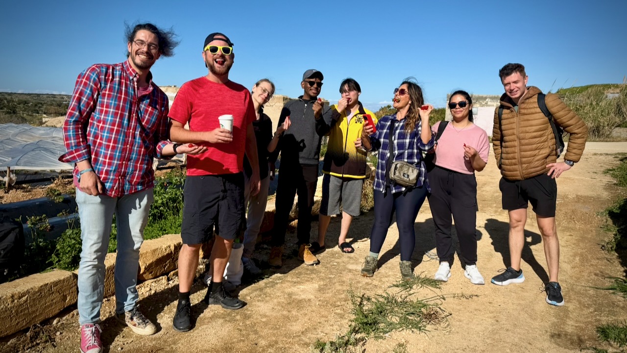
The easiest way to hike Lesotho is by guided day tour ($50) out of Amphitheater Backpackers in the northern Drakensberg.
Our first stop was at Mafika-Lisiu school, the only one for many miles. Amphitheater Backpackers built a classroom.
One of the teachers joined us as an assistant guide. Local information, first hand.
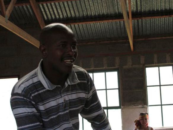
This teacher has been waiting nearly 2yrs for a visa that would allow him to visit South Africa as a tourist.
Lesotho once had the opportunity to join South Africa, but the leaders — considered very corrupt — declined.
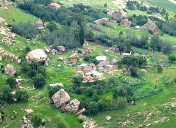
Many families here are self-sufficient, not much using currency. Maize is the primary crop. 75% of the population is rural.
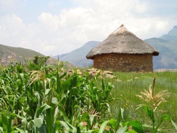
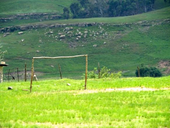
No electricity. No formal shops. The school does have a football field.
From the school we hiked up to see some of the famous cave paintings.
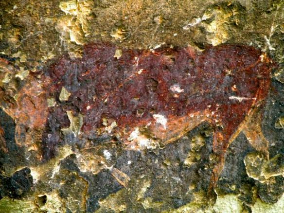
Sadly, many had been defaced.
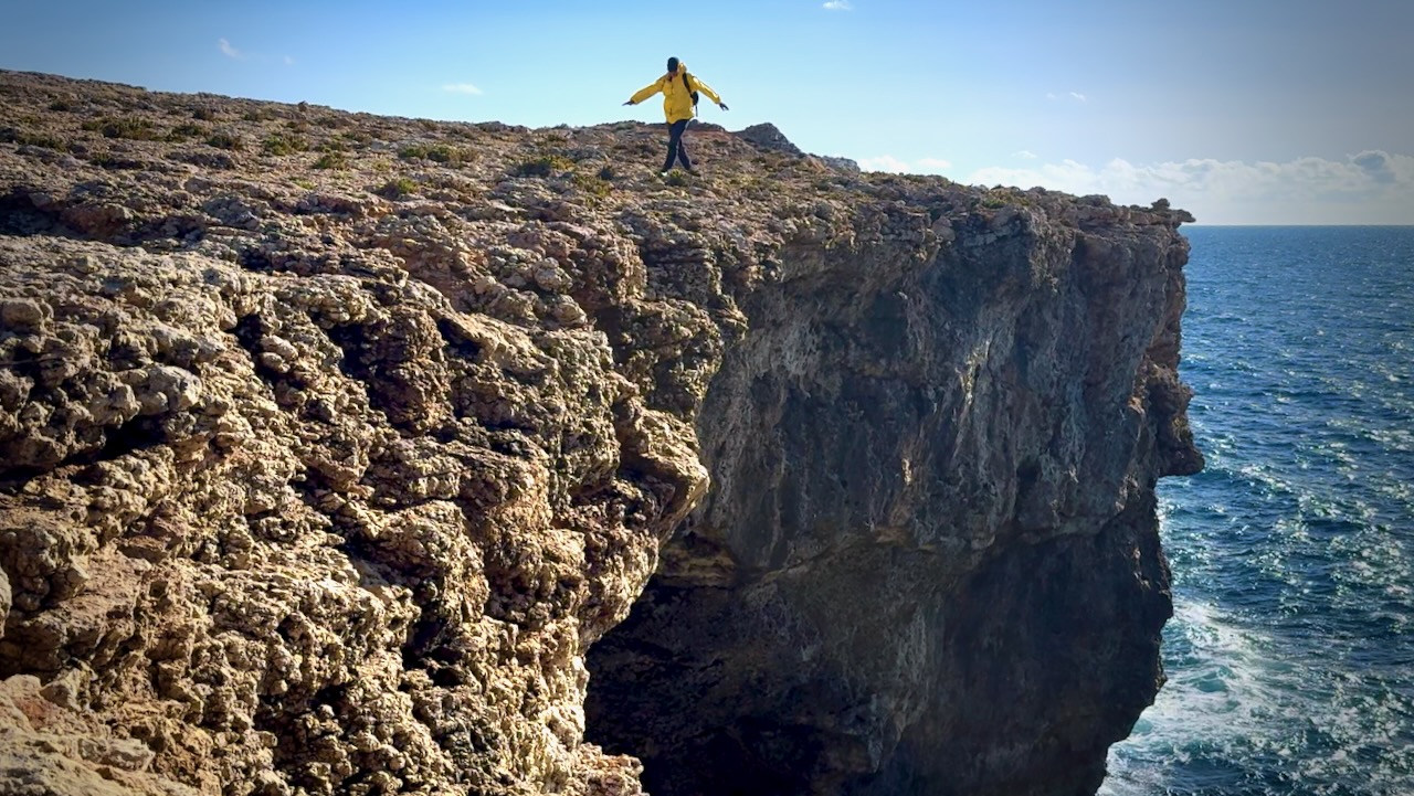
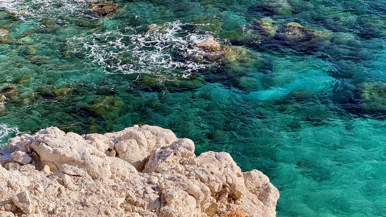
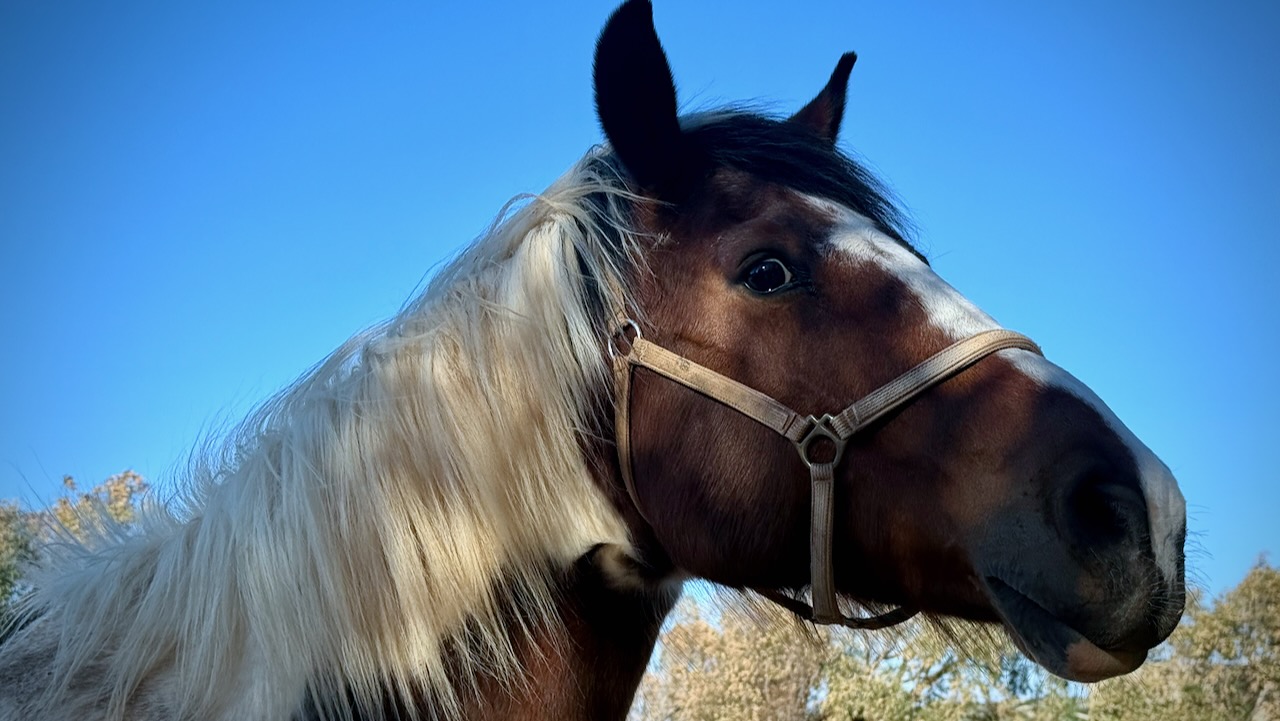
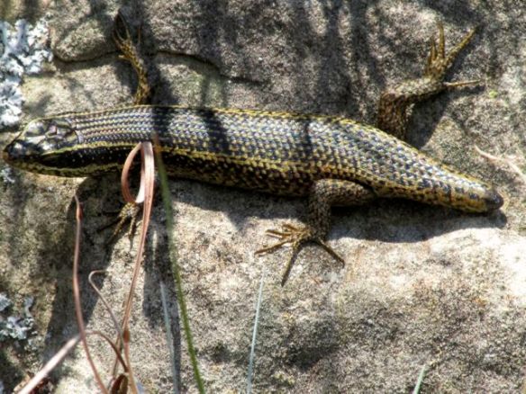
Again we saw plentiful bird life, but no wildlife. This was the wildest creature en route.
From the caves our group had the option to extend the hike up on to a ridge.
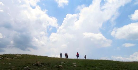
Hans loved the tranquility of the valley.
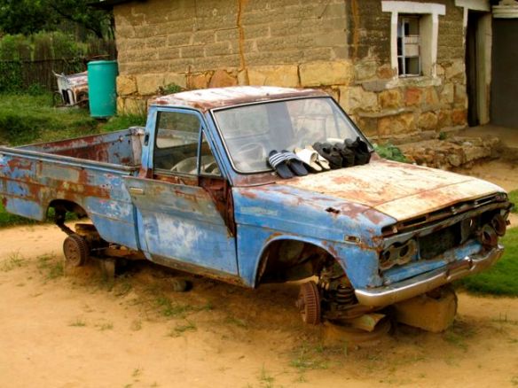
There are “roads” in Lesotho, but most are awful.
Hans signed on for the tour because he wanted to see a traditional African healer.
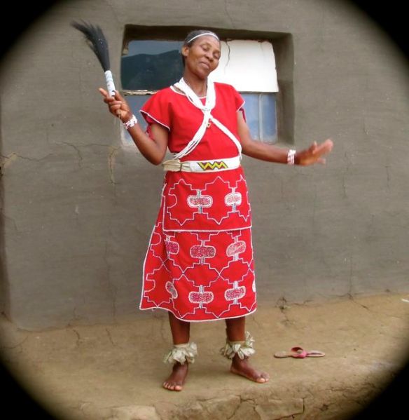
She’s entirely self-taught. Her healing ability is a “gift” first revealed in dreams.
Here is her home.

I’m a skeptic of natural medicine. But most people in Lesotho do not have the money nor transportation to make the long trip to a clinic or hospital. She is all they’ve got.
Her bedside manner is excellent. Warm and charismatic.
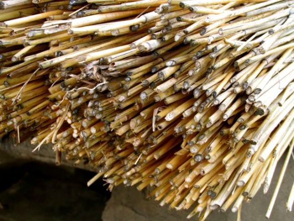
One tidbit we learned is that the traditional round houses with thatched roofs are slowly being phased out. Thatch is expensive in 2014. And must be replaced regularly.
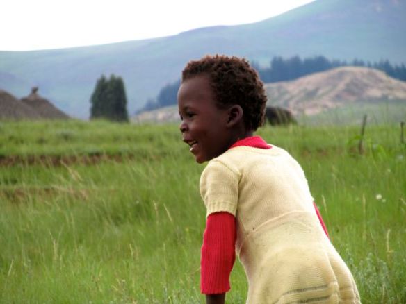
Children here do not have much. The healer married at age-20 and had had 8 children.
Kids seem to roam about unattended by parents. They are raised (and disciplined) by the village.
AIDS infects about ⅓ of the population. But we heard nothing of that on the tour.
Theft of animals is the most worrisome “crime” in Lesotho. Though the kids are ignored, valuable stock animals are watched closely.

One local man was trying to chase down a young cow while we were there. 🙂
Full disclosure: I had been booked on a serious 8hr mountain climb for this day. But opted out, switching to the Lesotho cultural tour instead. After only one day in the summer sun, I was too sunburned to risk a tough climb.