Sunset Crater, Arizona

trip report by site editor Rick McCharles

Climbing to the rim has been closed for decades. Hikers were doing too much damage.

sunset-crater

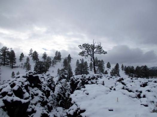
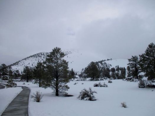
I did the partly wheelchair accessible 1-mile (1.6km) trail Lava Flow Trail and some of the 1-mile (1.6km) Lenox Crater Trail. Both were snowy.

Sunset Crater AZ

Sunset Crater AZ

But if you are passing anywhere close to Flagstaff, Arizona, any time of the year. I recommend you make this stop. The Visitor Center is excellent.

rick-sunset-crater-az

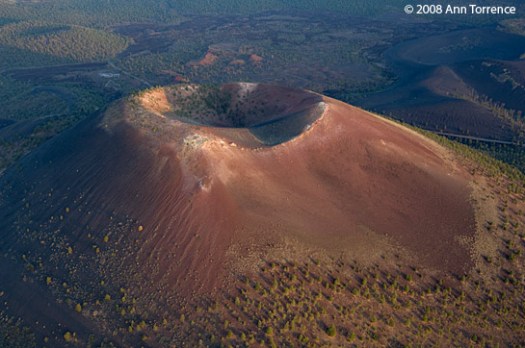
The date of the eruptions that formed the 340-meter-high cone (1,120 ft) was initially derived from tree-ring dates, suggesting the eruption began between the growing seasons of A.D. 1064–1065. However, more recent geologic and archaeological evidence places the eruption around A.D. 1085. …

On the same road trip visit nearby Wupatki National Monument.

Wupatki Pueblo
Wupatki Pueblo

If you book in advance, Rangers offer guided hikes from October through April. Anywhere from two hours to two days.

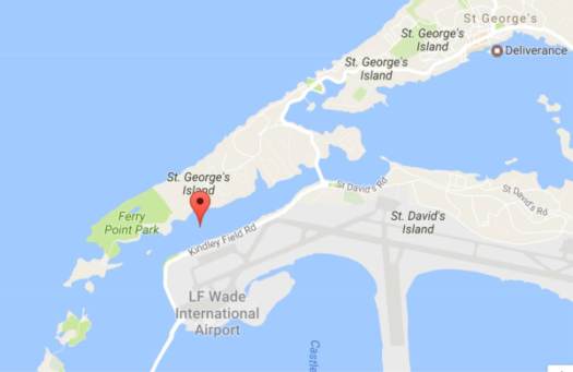
hiking Ferry Reach Park, Bermuda

Close to the airport and St. George, I quite enjoyed wandering these trails.

ferry-reach-park

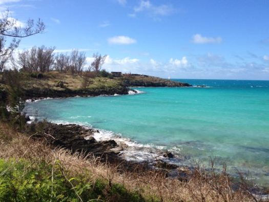
This 64 acres park area is the second largest in Bermuda and has wonderful walking trails, forest areas with endemic plantation, a nice lake, a bay with a lovely beach, and a few historic forts. Other than the sounds of airplanes flying overhead at times, this place has remained as a serene and peaceful parkland over the years. …

img_4414 img_4410

Bermuda Railway Trail passes through the park and goes along the western coast line. …

img_4405

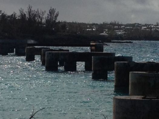
At the western most tip … Ferry Island which can be accessed from the park on a small wooden bridge. It was in Ferry Island where the ferry dock was built way back in 1600s. Ferries transported people across to the other side known as Coney Island which connects to the main island of Bermuda. For over 250 years, ferry was the only transport that connected St. George with the main island.
img_4406
It ceased to operate once the Causeway was built in 1871. …
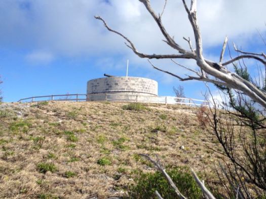
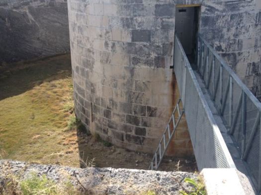
In 1823, Martello Tower came up on the high ground behind the two forts where soldiers could survey the surrounding coastline and the land area. …

img_4411

img_4412

A friend told me they had some terrific drinking parties at Martello Tower back in his misspent youth. It’s all locked up now.

cycle hiking Mayne Island

Cycle hiking the Gulf Islands – trip report by site editor Rick McCharles

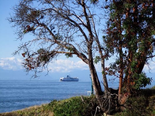
Mayne Island is a rustic 21-square-kilometre (8.1 sq mi) island in the southern Gulf Islands chain of British Columbia. …

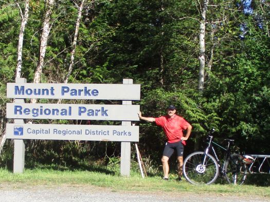
… a population of 1071. Mount Parke in the south-central heart of the island is its highest peak at 255 meters (837 feet). …

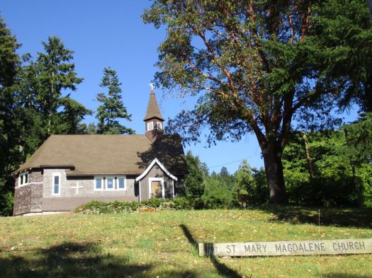
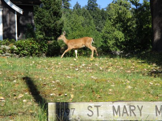
I arrived early enough on Mayne to do some sightseeing. First stop, historic St. Mary Magdalen, Anglican Church.
IMG_1712

IMG_1713

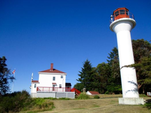
Nearby on Georgina Point is the most scenic light station on the island, built 1885.
IMG_1717

IMG_1718

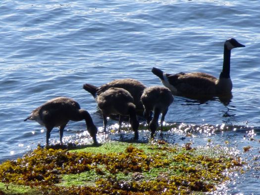
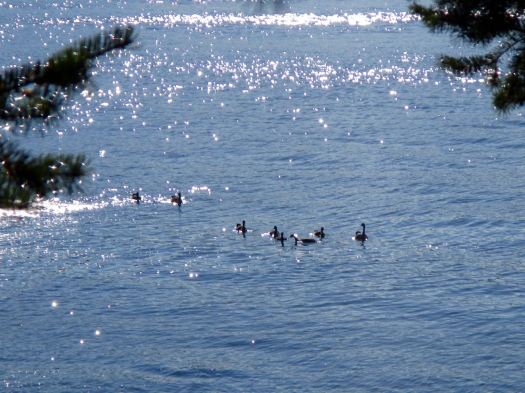
One species not endangered anywhere. Canadian geese. 🙂
IMG_1719

IMG_1720

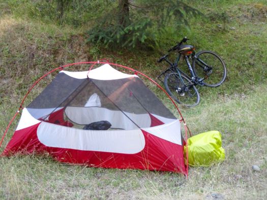
The previous two nights I was hidden away in the trees. But this wild camping tent site was worthy of a photo. Perfect.
IMG_1723

I packed up next morning, stashing my panniers in the the trees. And cycled to the most popular hike on the islandMount Parke.

IMG_1727

I did a loop: Haliday Ridge Trail to the (appropriately named) Old Gulch Trail to the Lowland Nature Trail. My best hike in the Gulf islands, so far.

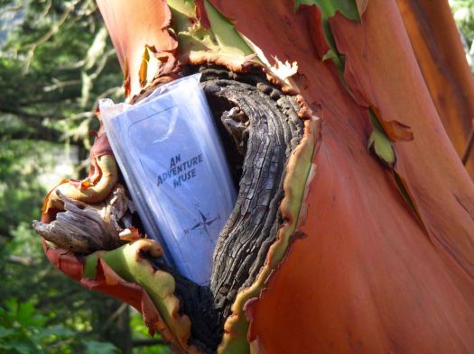
On the Haliday ridge I left a Summit Stone in an Arbutus tree. It seemed appropriate.
IMG_1733

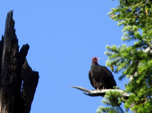
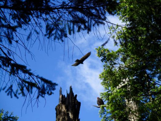
A highlight was watching Turkey Vultures pretend to be Bald Eagles.
IMG_1750

IMG_1748

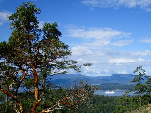
The vistas are magnificent up here. My best weather, so far.
IMG_1751

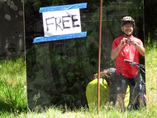
I was starving by the time I got down off the ridge. Happily Farm Gate Store is located near the trailhead. I had a burrito, coffee and muffin. All unbelievably healthy. 🙂

The rest of the day would be easy.
IMG_1770

I peddled on to Campbell Point.

IMG_1763

And was quite impressed with the facilities at the Adachi Community Pavilion.

It was here that the Kosumi family lived. Until 1942 when the Canadian government rounded them and all the other Japanese immigrants on the island and moved them to an internment camp. 😦

Today, the Japanese Gardens, located near Dinner Bay, are dedicated to the memory and legacy of the Mayne Island’s Japanese-Canadian community.

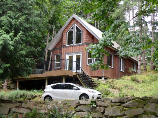
Of all the beautiful retirement homes I’ve seen so far, this one caught my eye. Elegant simplicity.
IMG_1774

So … in the end I did only the one big hike on Mayne. Island Parks and Recreation does produce a brochure. But most of the other walks are very short.

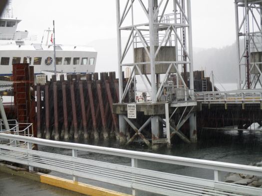
After all this good weather it began to POUR liquid sunshine while I waited for the ferry to Victoria.
IMG_1776

Hmm. What does a cyclist do in the rain?

hike the Salkantay Trail to Machu Picchu

Salkantay is the most popular alternative to the Inca Trail.

Here’s a sample itinerary:

Day 1 Soraypampa – Huayracmachay

Day 2 Huayracmachay – La Playa

Day 3 La Playa – Aguas Calientes

Day 4 Aguas Calientes – Machu Picchu – Cusco

Salkantay is great. But not perfect.

Note that the hike ends at the town of Aguas Calientes, not Machu Picchu. You enter the ruins the same way as those who take the train.

Click PLAY or watch it on YouTube.

trek to Choquequirao, Peru

Hal Amen:

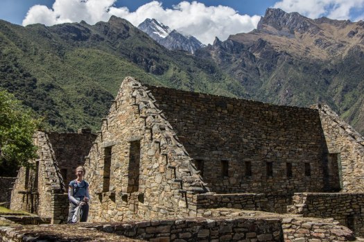
RESTORATION OF this small Incan city only began in the ’90s. The first visitors had to cross the Apurímac River via a rope bridge to reach it.

During a typical afternoon at Machu Picchu, you’ll be one among 2,500. At Choquequirao, you might see six or seven other visitors.

While the ruins currently sit under the radar, they won’t stay there forever. The regional government is investing $50 million into a cable car project that could get you to this site in 15 minutes intead of the current four-day trek. As early as 2016, there might be around 3,000 people visiting choquequirao per day. Consider yourself warned — get there now. …

DISCOVER YOUR OWN MACHU PICCHU: CHOQUEQUIRAO, PERU

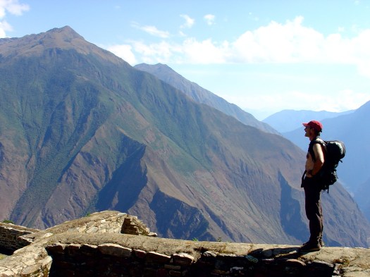
The photo Hal used to top his article is besthike editor Rick McCharles from 2005.

Rick McCharles Choquequirao