Harder Ridge, Switzerland.
Number 1 on our top 10 list.
Click PLAY or watch it on YouTube.

Best hikes, treks, tramps in the world.
In fact, we rank Harder Ridge our #1 day hike in the world.
Xander is a Swiss hiking expert.
This is his favourite hike in Switzerland.
They did not make it all the way. Too slow. So had to scramble down to the lake.
Click PLAY or watch it on YouTube.
Markus Rosehill calls Harder Ridge one of the best — if not the best — hikes of his life.
Harder Ridge is our #1 day hike in the world, as well.
Click PLAY or watch it on YouTube.
related – Best Hikes in Switzerland 🇨🇭 Part 1
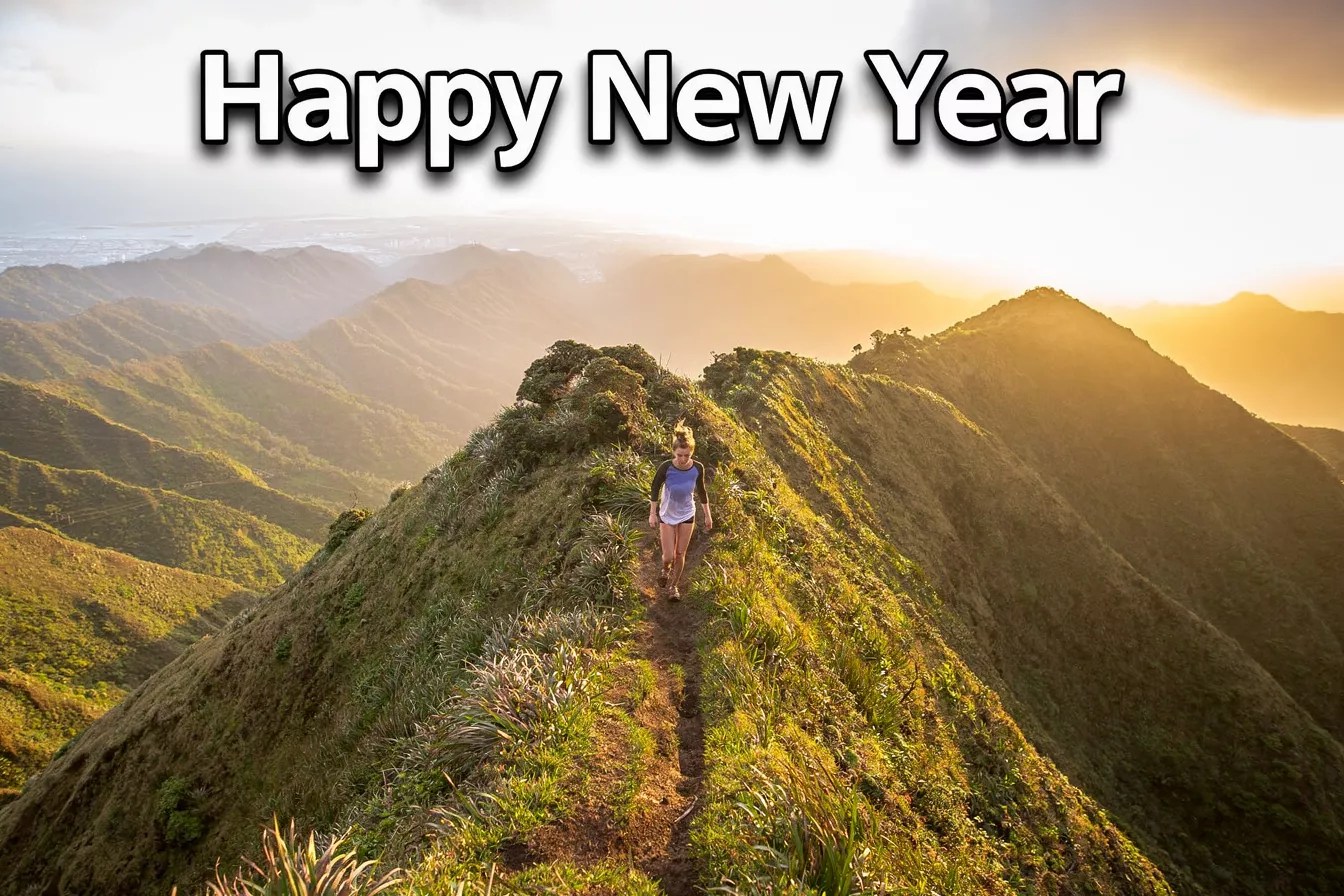
Happy trails in 2026.
Three Gorges Dragon Ridge looks like fun.
It’s Wushan County, Chongqing.
Click PLAY or watch it on Instagram.
Trip report by BestHike editor Rick McCharles
The Bukit Campuhan Ridge Trail is super popular with Ubud tourists as you can walk there from almost any accommodation in the city.
I went early and saw very few, other than morning trail runners.
You can continue to the end — but I turned back after about 2km when the paved-block track ended — at buildings and roadway.
The trail starts at the evocative Gunung Lebah Temple as you’ll see in the video.

The word “Campuhan” itself means “where two rivers meet”. You’ll be on a ridge between those rivers. Vistas are mostly overgrown so you don’t actually get to see much water. 😀
Click PLAY or watch it on YouTube.
Trip report by BestHike editor Rick McCharles
This is the cool Canadian Rockies hike these days. BUT it’s more of a route than a trail.

As evidence, I bumped into two of the top hiking YouTubers below the ridge — Eric Hanson and Justin Outdoors. We were heading opposite directions. Surprised and excited, I got a bit tongue twisted while chatting with them.
Slightly dangerous, Northover is not promoted by the Parks people.
I followed the route on AllTrails offline. No navigation problems.
My first tip is to WAIT for good weather. You don’t want to be on this narrow ridge in high wind and poor visibility.
Northover Ridge Loop Trail is 34km, 2290m in elevation gain. Most people do it in 2 or 3 days.
Foolishly, I did it in a day and a half. 😀

On the drive up to the trailhead in Peter Lougheed Provincial Park, I had a good look at momma bear and 2 young ones. I saw another juvenile bear on the drive out. None on the trail.
I booked at Aster Lake Campground before driving up. By doing this I’d decided to hike it clockwise looking down at the map. But you can do the loop in either direction.
Peter Lougheed Provincial Park NOW requires a Conservation Pass if you have a vehicle. In 2025:
My campsite pass was checked by Rangers. They do a great job here.
Click PLAY or watch my Northover on YouTube.
A great adventure. I highly recommend Northover IF you have good weather.

Here’s how the same 2 days went for Eric Hanson and Justin Outdoors. Click PLAY or watch it on YouTube.
Related – trip report by HikeBikeTravel

A stunning and unique walk in Norway’s most popular National Park – Jotunheimen.

World → Europe → Norway → Besseggen Ridge
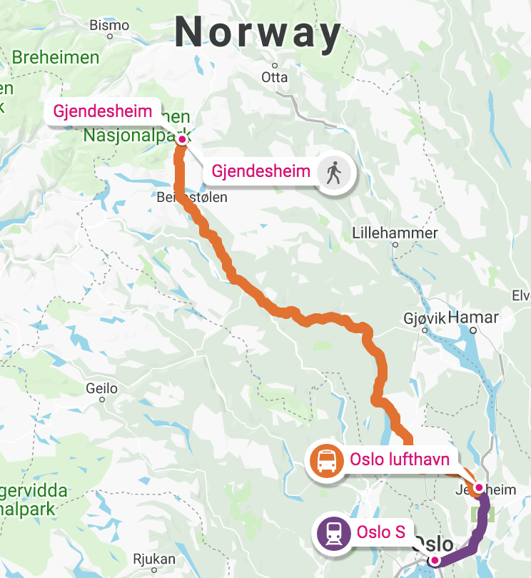
Click PLAY or watch it on YouTube.
For details click over to our Besseggen Ridge information page.
– Hörnli Hut: A challenging ascent to the base of the iconic Matterhorn, where I soaked in the majestic views.
– Limmernsee: A hidden gem with stunning turquoise waters surrounded by towering cliffs.
– Lauterbrunnen Valley: A picturesque valley with cascading waterfalls and charming alpine villages.
– Oeschinensee: A serene mountain lake with crystal-clear waters, perfect for a peaceful hike.
– Schynige Platte: A classic Swiss trail offering sweeping views of the Eiger, Mönch, and Jungfrau and a botanical alpine garden featuring the edelweiss flower. (It’s close to the fantastic Harder Ridge / Hardergrat)
– Schäfler Hut: Perched high above the clouds, offering panoramic views of the Swiss Alps.
Click PLAY or watch it on YouTube.
Here are 5 more.
Click PLAY or watch it on YouTube.

24km total … about 18km on a sharp ridge! Wow!
World → Europe → Alps → Switzerland → Harder Ridge
Click PLAY or watch Jackson Groves on YouTube.
For details click over to our Harder Ridge information page.
related – The GoPro: ’22 Creator Summit was held in Interlaken. Some of this footage is shot on the ridge.
Click PLAY or watch it on YouTube.
