
Remembrance Day

Best hikes, treks, tramps in the world.
Religious pilgrimage and traditional spiritual walks.
Campbell and Alya, the Stingy Nomads, are two of my favourite hiking bloggers. They live in Portugal and have spent a lot of time on the Caminos.

Click PLAY or watch a typical day on YouTube.
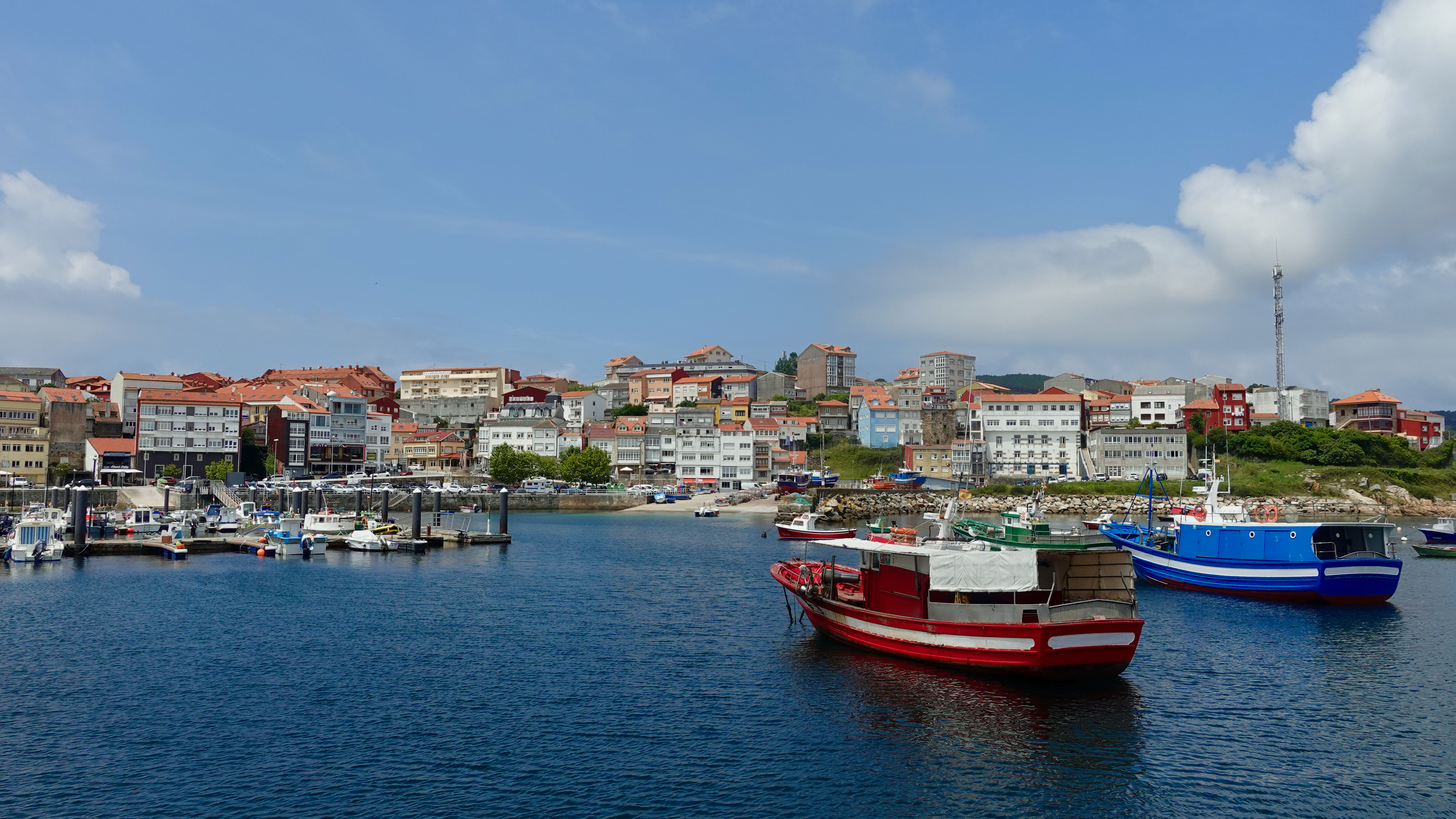
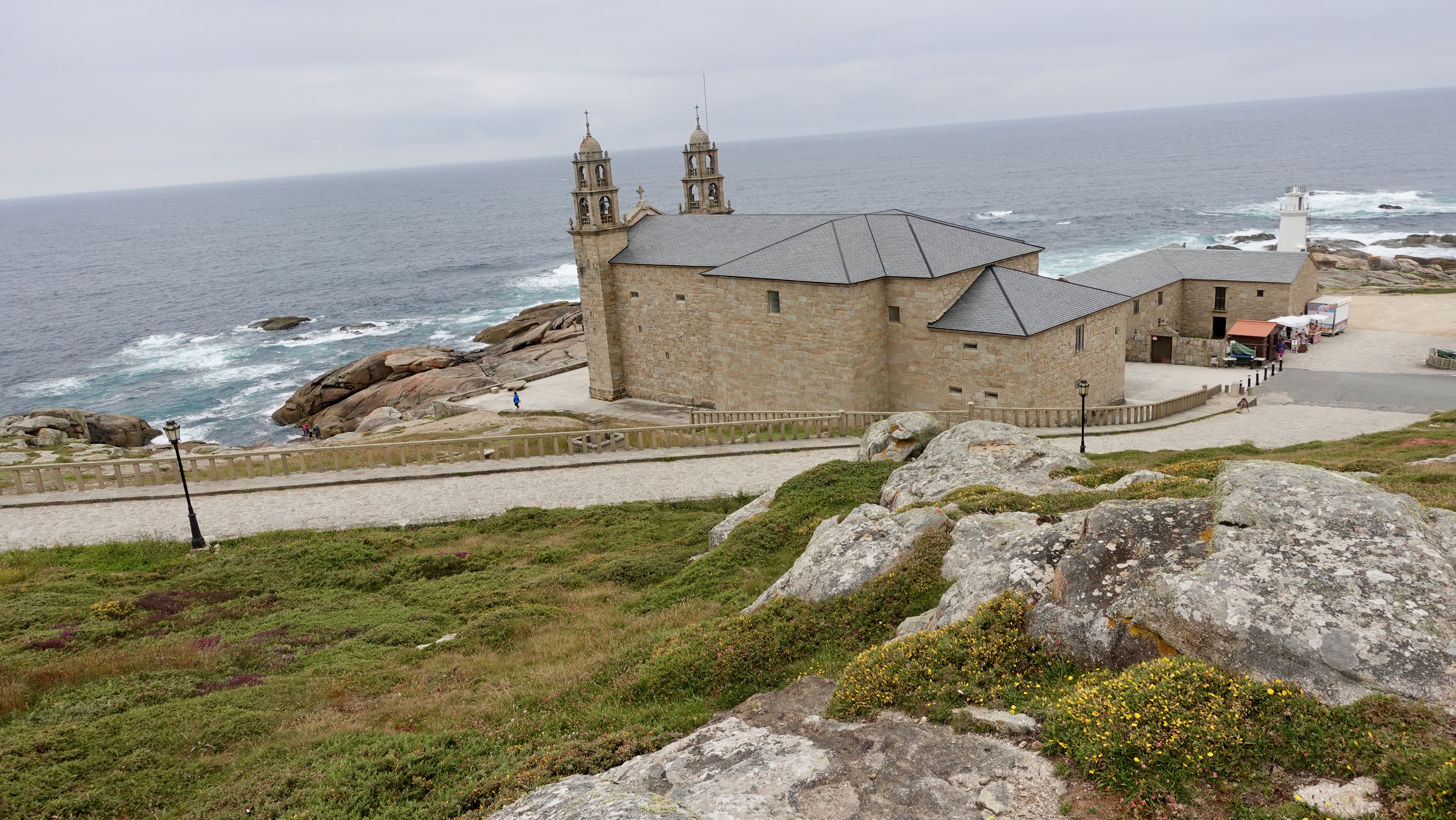
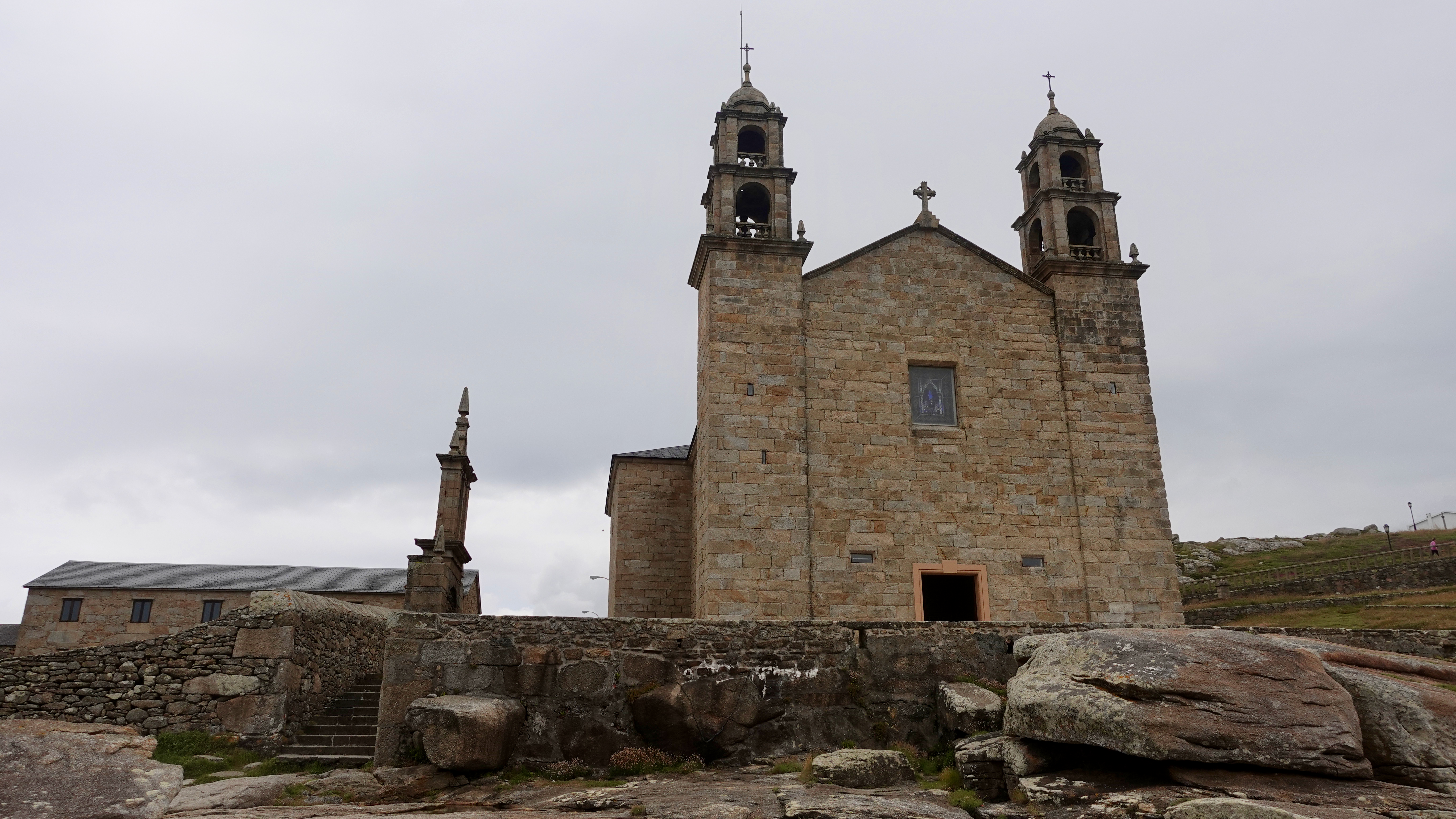
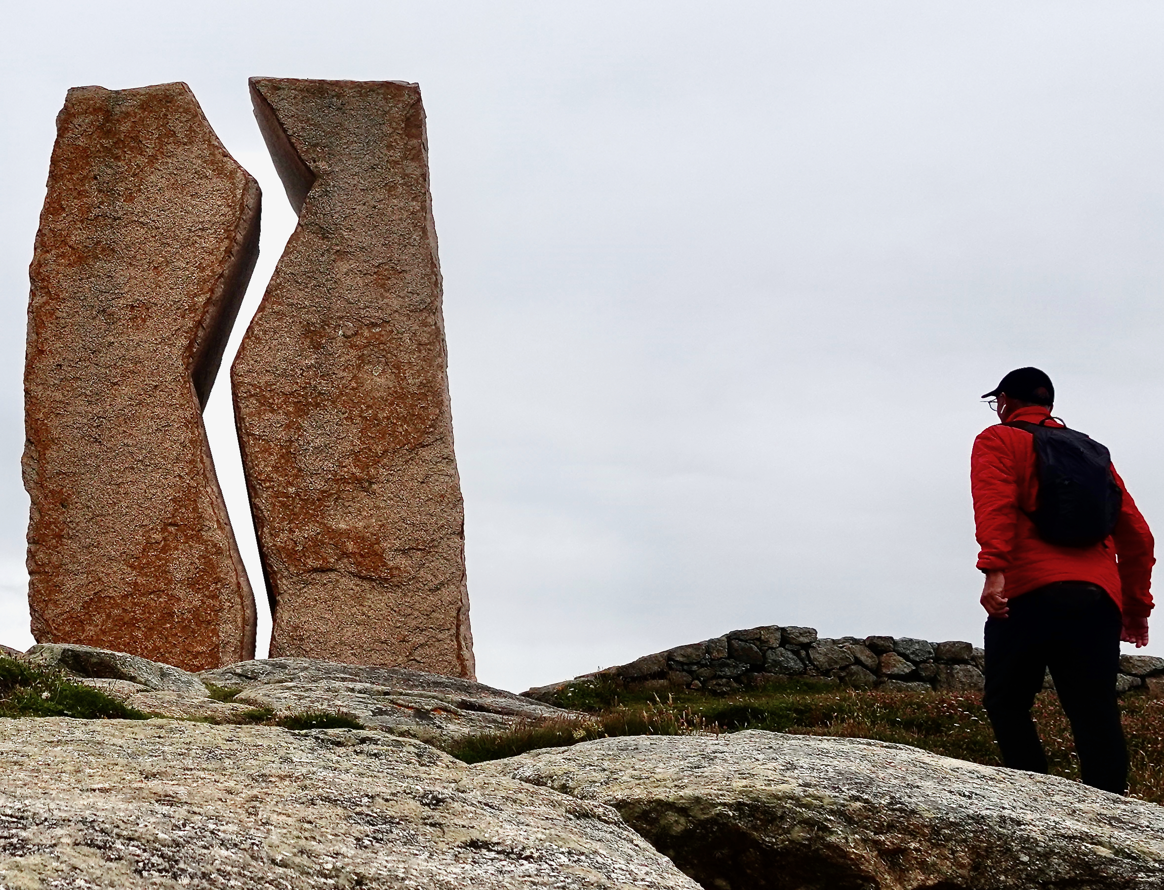
Pilgrims who walk or cycle to the Santiago de Compostela Cathedral on the Camino de Santiago celebrate — then decide whether to continue on to Finisterre on the coast. That name is from the Latin for “end of the earth“.
That’s an additional 88.9 km (54 miles) by the most popular route.
This N.W. corner of Spain — Galicia — is the rainiest.
The Stingy Nomads had one of their worst, and best, hiking days while on the Camino Finisterre.
Click PLAY or watch it on YouTube.
Weather was bad when I reached Santiago on my 6 day cycling adventure from León, Spain .
I’m happy I cycled rather than walked. There is a lot of pavement. 😀
I decided to sign up for a very inexpensive (25€) all day van tour offered through my accommodation, the excellent Albergue Seminario Menor:
A few photos from my trip:
I’ve many times been asked IF I’d done the Camino. Surprisingly, the answer was NO. Until now. 😀
The Camino de Santiago … known in English as the Way of St James … is a network of pilgrims’ ways or pilgrimages leading to the shrine of the apostle Saint James the Great in the cathedral of Santiago de Compostela in Galicia in northwestern Spain, where tradition holds that the remains of the apostle are buried.
As with most hikes that can be cycled, I prefer to cycle. At least 10% of pilgrims cycle rather than walk or arrive on horseback. They are known as ‘bicigrinos’ or ‘bicigrinas’, bike pilgrims.
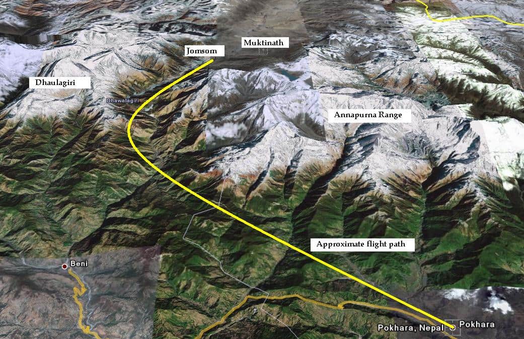
My PLAN is to ride León to the famous cathedral. About 325km. Perhaps a week. No rush.
The total length starting in France is 825km.
You need to cycle at least 200km in order to receive a Compostela certificate in Santiago (as opposed to minimum 100km walking).
Nearly 350,000 Compostela pilgrim certificates were issued in 2019. I won’t be lonely. 😀
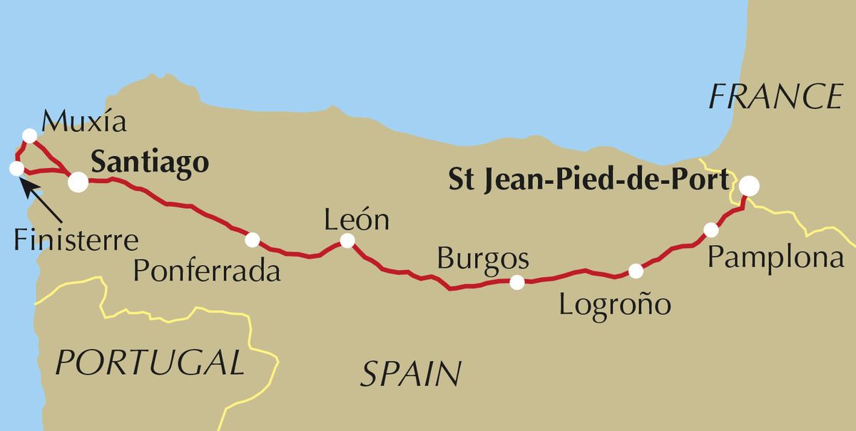
The Camino Francés, or French Way, is by far the most popular of many routes. Roughly 60% of pilgrims choose this camino over other options.
Though no guidebook is needed, I picked up a paper copy of Mike Wells’ Cycling the Camino de Santiago (2019). I’d listened to a good interview with the author.
Wish me luck.
Many folks only know the famous pilgrimage from the 2010 Martin Sheen movie. It’s very good, by the way.
Click PLAY or watch the trailer on YouTube.
Trump and the Republican Party have been ruthless for 4-years selling out public land to rich supporters and corporations. The Environmental Protection Agency has weakened regulations.
For example, a Judge removed Trump public lands chief —a former oil industry attorney — who’d been working in that position illegally.
Patagonia has just released The Fight for America’s Public Lands.
A feature-length documentary about America’s system of public lands and the fight to protect them.
Despite support from voters across the political spectrum, our public lands face unprecedented threats from extractive industries and the politicians in their pockets.
Part love letter, part political exposé, Public Trust investigates how we arrived at this precarious moment through three heated conflicts—a national monument in the Utah desert, a mine in the Boundary Waters and oil drilling in the Arctic National Wildlife Refuge—and makes a case for their continued protection.
Take action to protect our public lands.
Text DEFEND to 71333.
Learn more about ‘Public Trust’ here.
Click PLAY or watch the trailer on YouTube.
OR Click PLAY or watch the entire documentary on YouTube.
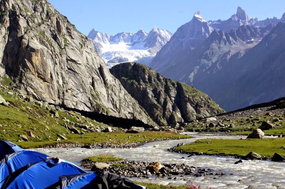
I’m considering hiking the Indian Himalaya starting sometime July 2020.
Here are a few of the treks I’m considering.
Popular guided hikes out of Manali include:
Beas Kund (2-3 days)
Pin Parvati Pass (8 – 11 days) – DANGEROUS
Hamta Pass to Lahaul (5 days)
Ideally I’d like to hike there independently. But I might want to start with one guided hike.
Leave a reply if you have advice for me. Thanks.
Trip report by BestHike editor Rick McCharles – day 1 | 2 | 3/4
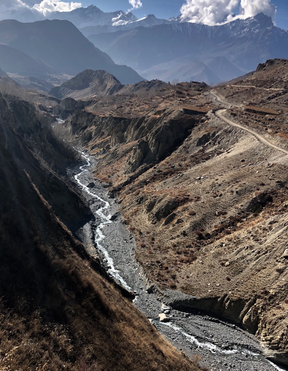
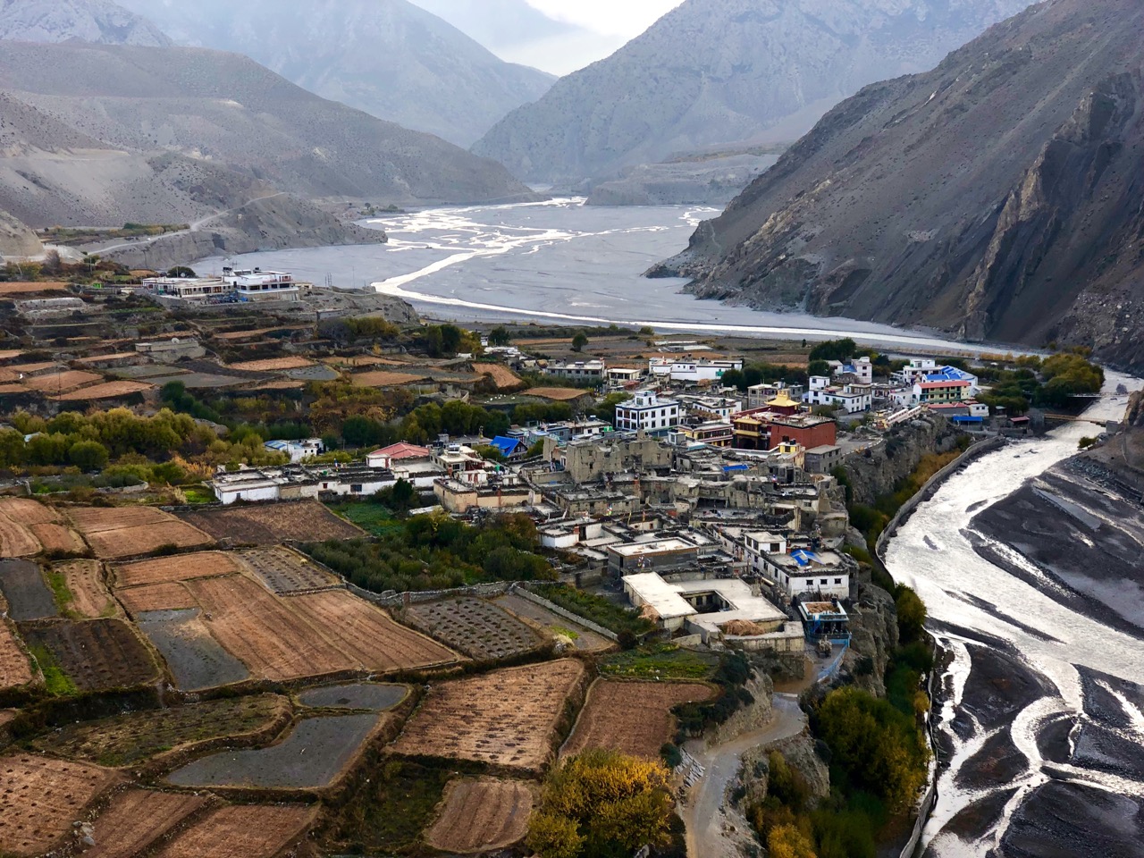
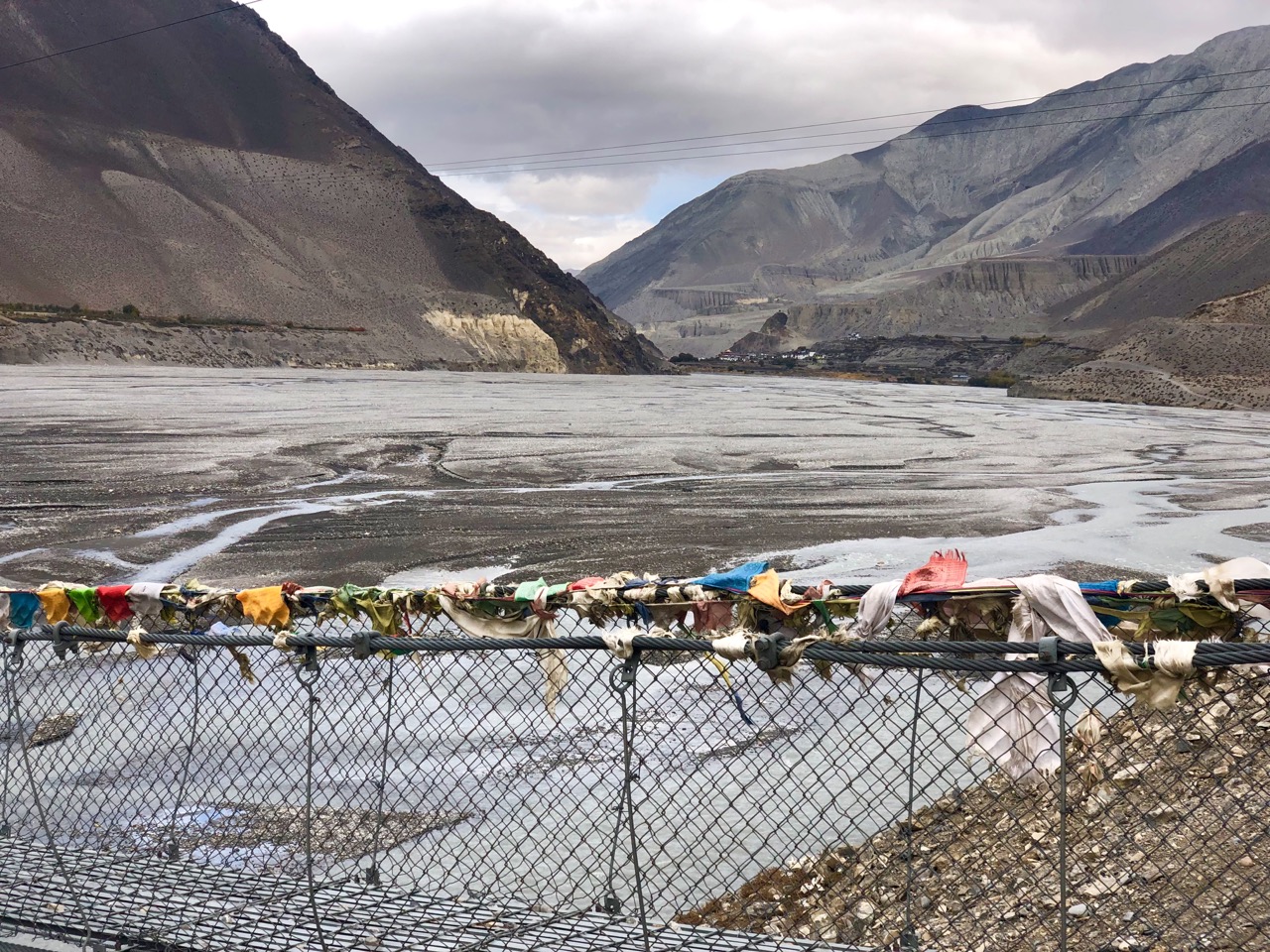
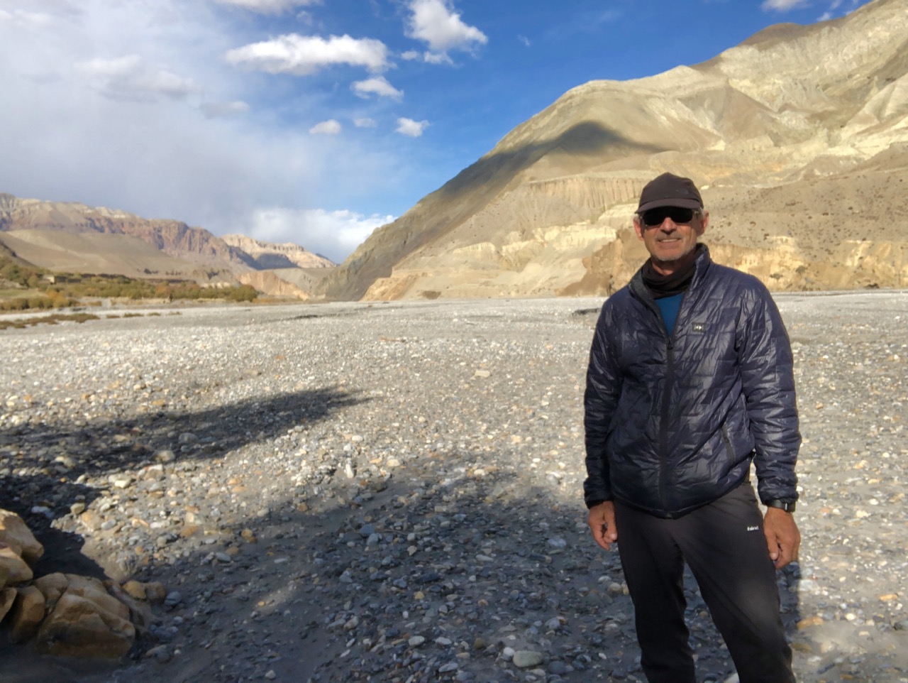
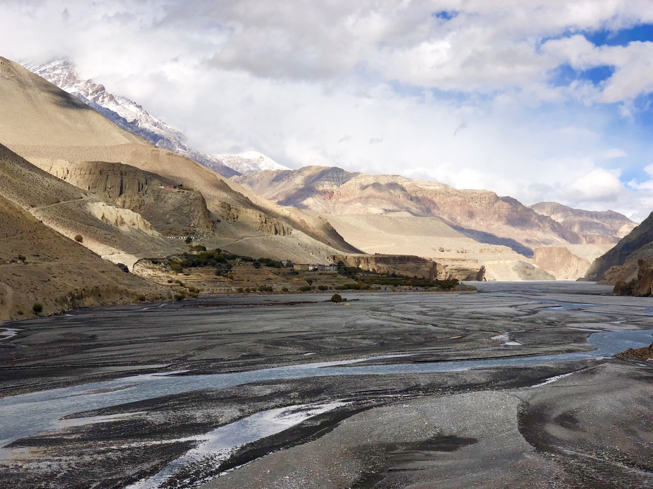
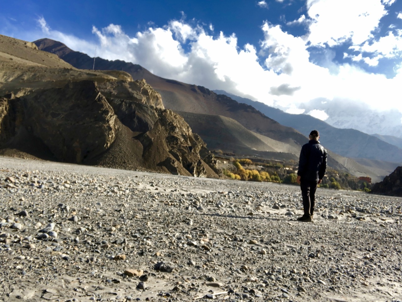
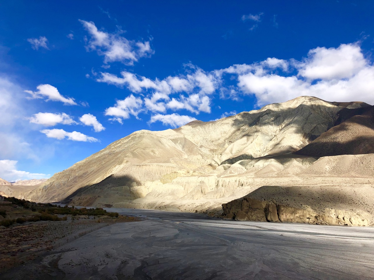
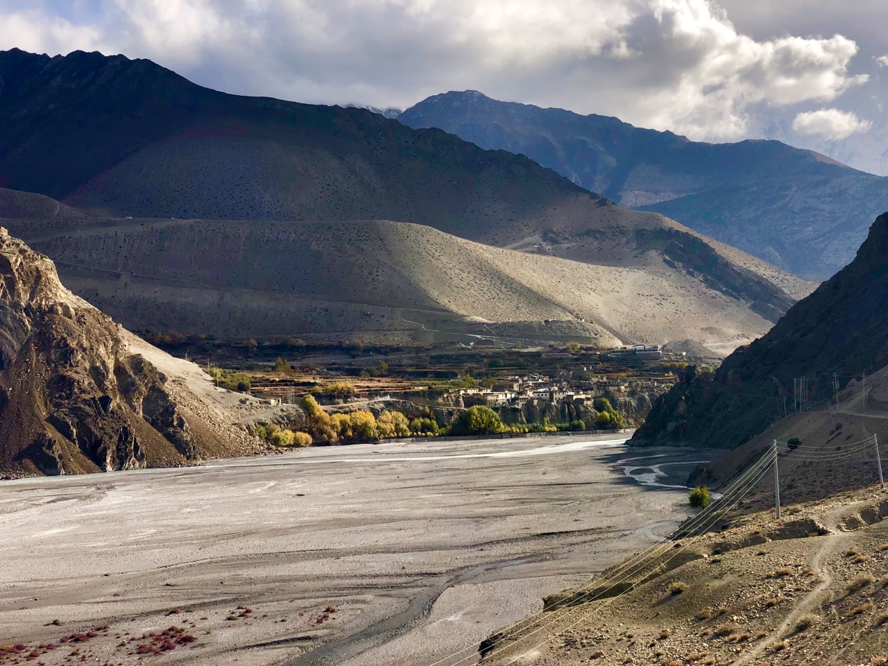
Waking up in Kagbeni, the morning sky was perfect.
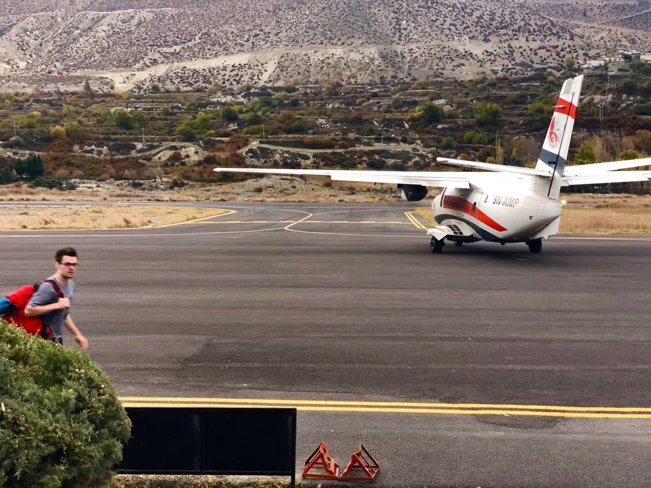
I thought I might catch a bus or shared jeep up to Muktinath so started walking the (shockingly paved) main drag.
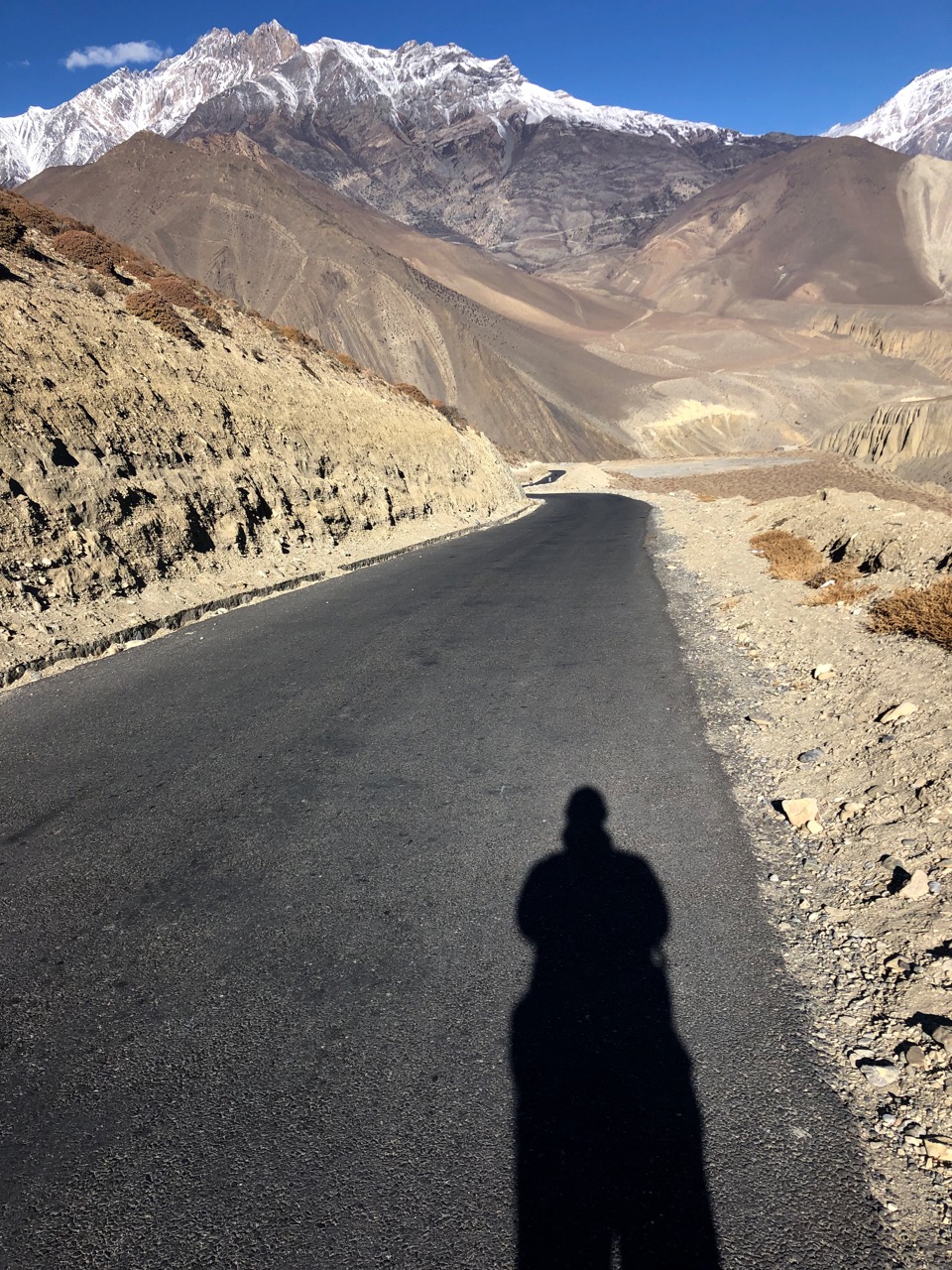
I ended up on foot for 3-4 hours, but still enjoyed the road walk.
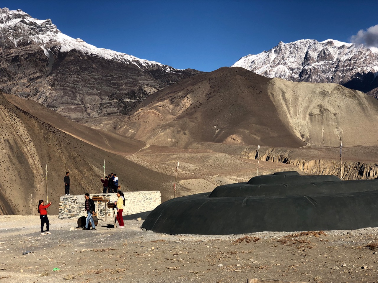
The highlight was weird Serthang Selfie Park. Yep, everyone stops here to take selfies.
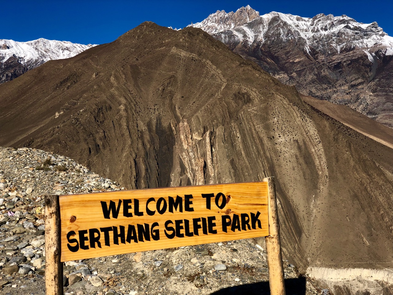
Happily, this viewpoint is protected from evil spirits including ZOMBIES.
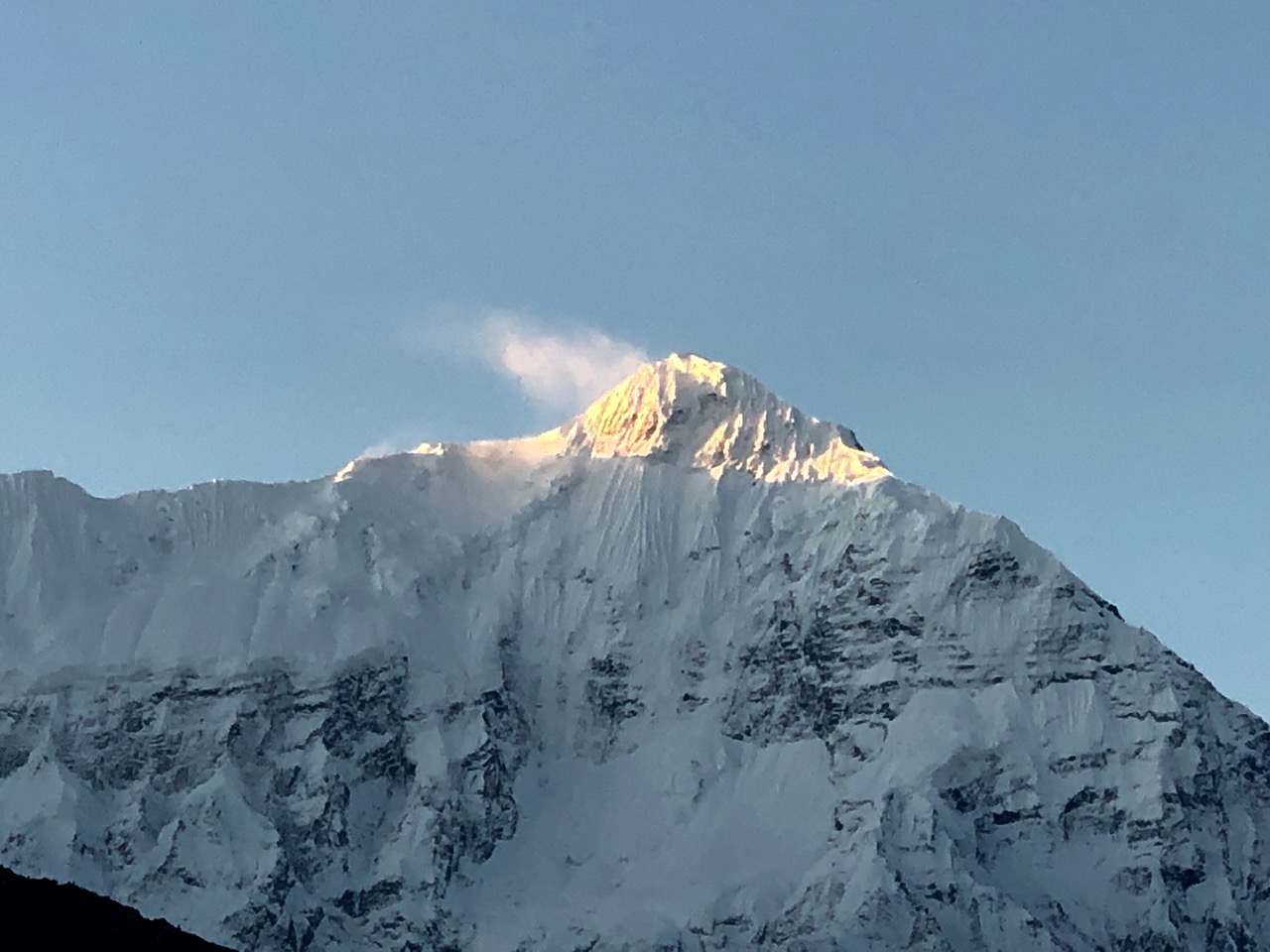
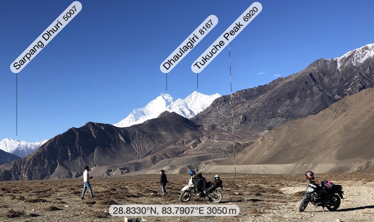
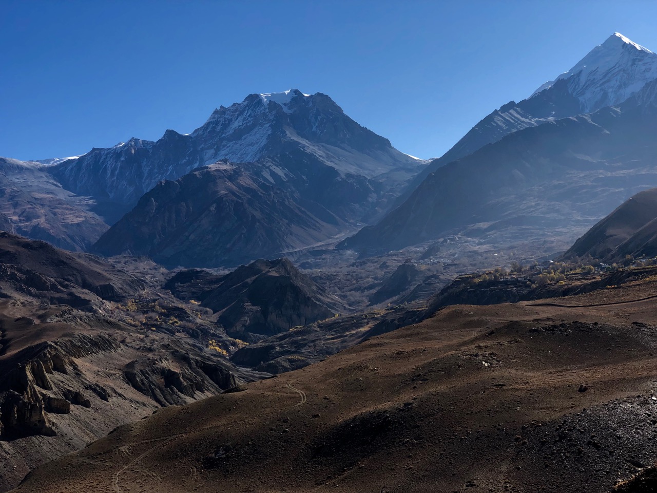
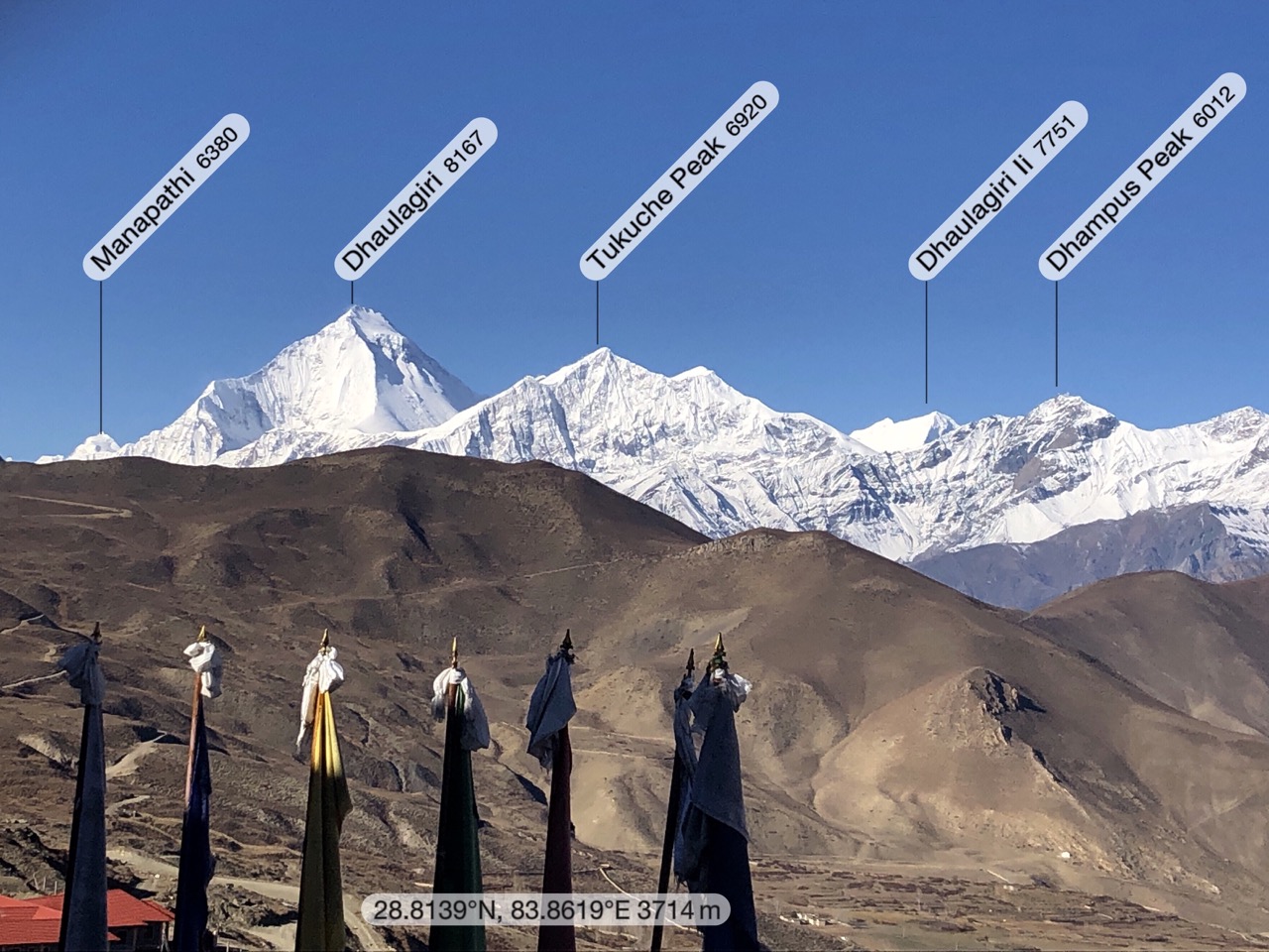
I stopped too as it was my first look at massive Dhaulagiri (8167m).
Walking asphalt is super easy. And the views kept getting better.
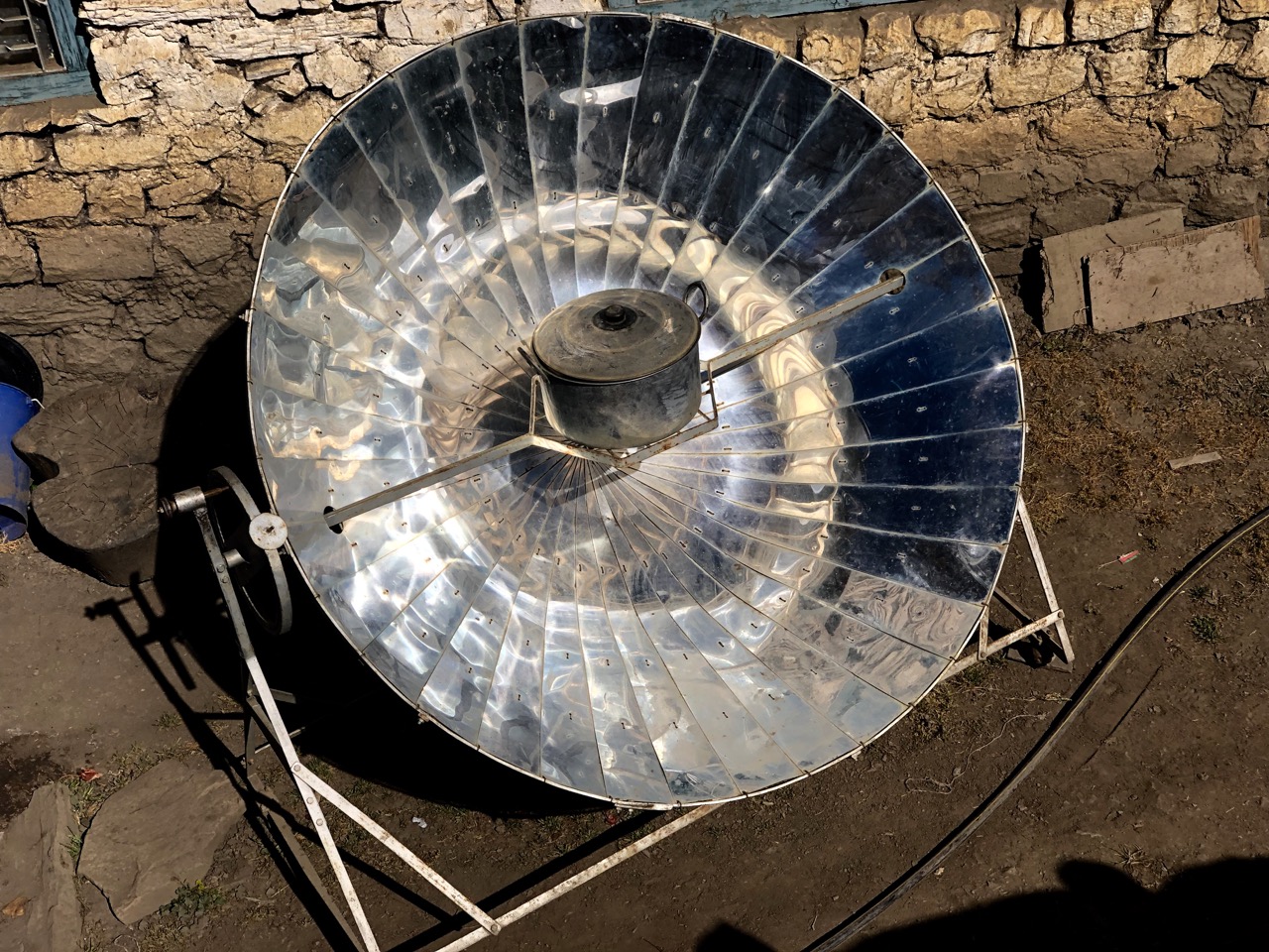
In arid Tibetan lands these solar powered water boilers are popular.
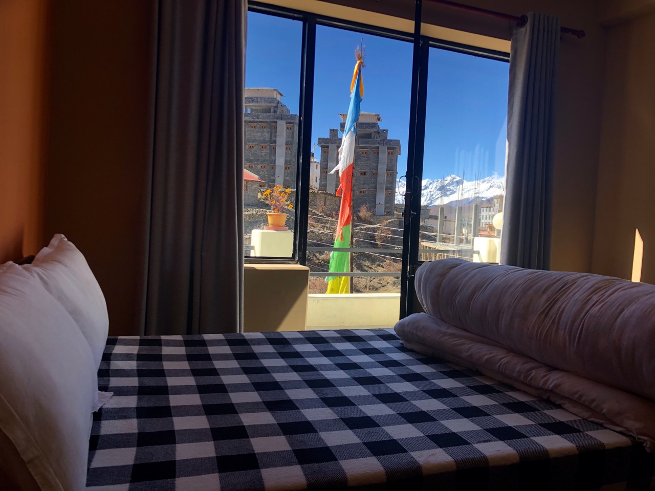
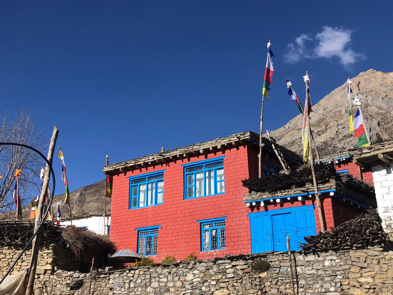
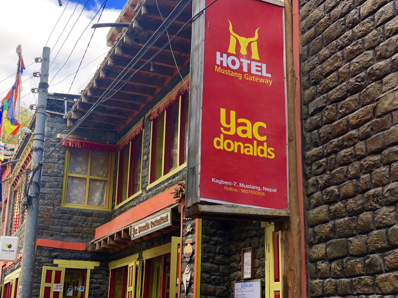
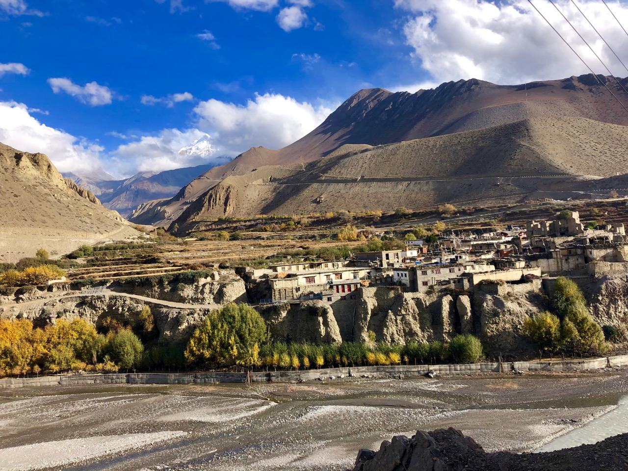
On arrival in Ranipauwa (3710m) I went straight to Mustang Cycle to organize my bike for the next day. They recommended the newest lodge. Probably the best room I’ve had, so far.
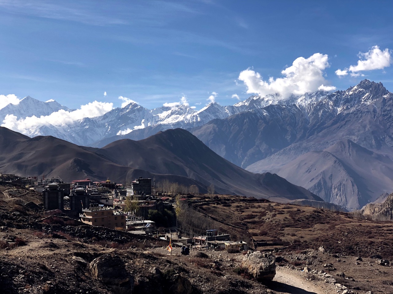
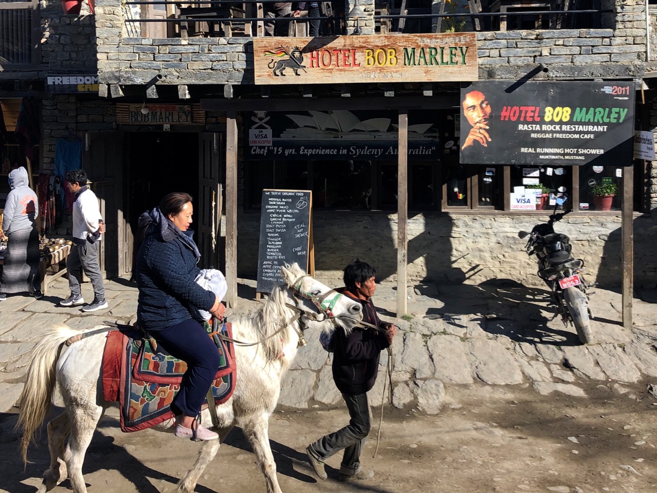
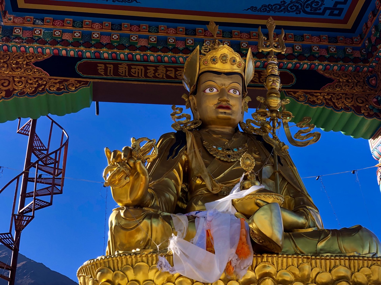
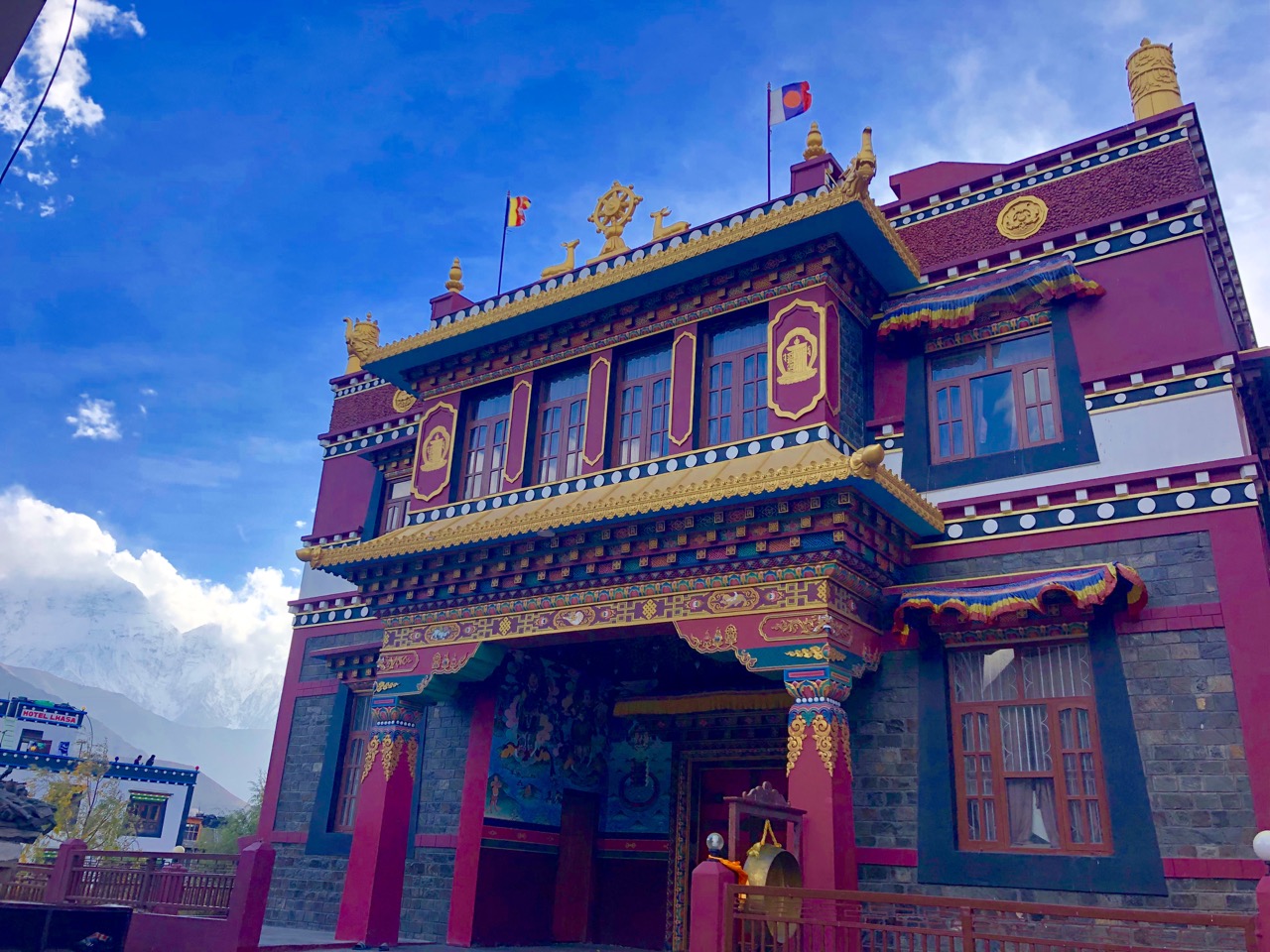
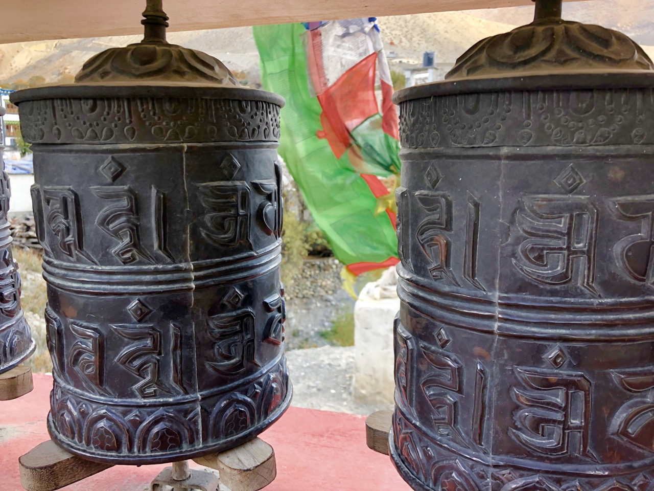
Muktinath (3800m) is one of the holiest pilgrimage sites in the Nepali Himalaya for both Hindus and Buddhists. There are far more pilgrims than trekkers at any given time.
In the afternoon I walked up to the main temple complex above town.
Many pilgrims choose to ride horseback. Indeed, this seems the biggest industry in town.
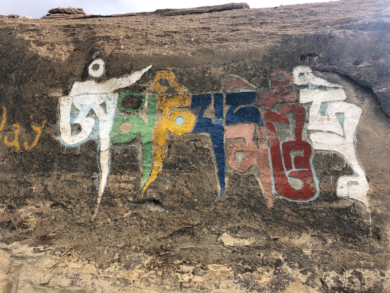
It’s easy to get confused as to what’s a Buddhist temple and what’s a Shiva temple.
Vishnu is worshipped here as Muktinath, the Lord of Salvation, while Buddhists associate the deity with Chenresig, the Tibetan bodhisattva of compassion (yes, it’s complicated).
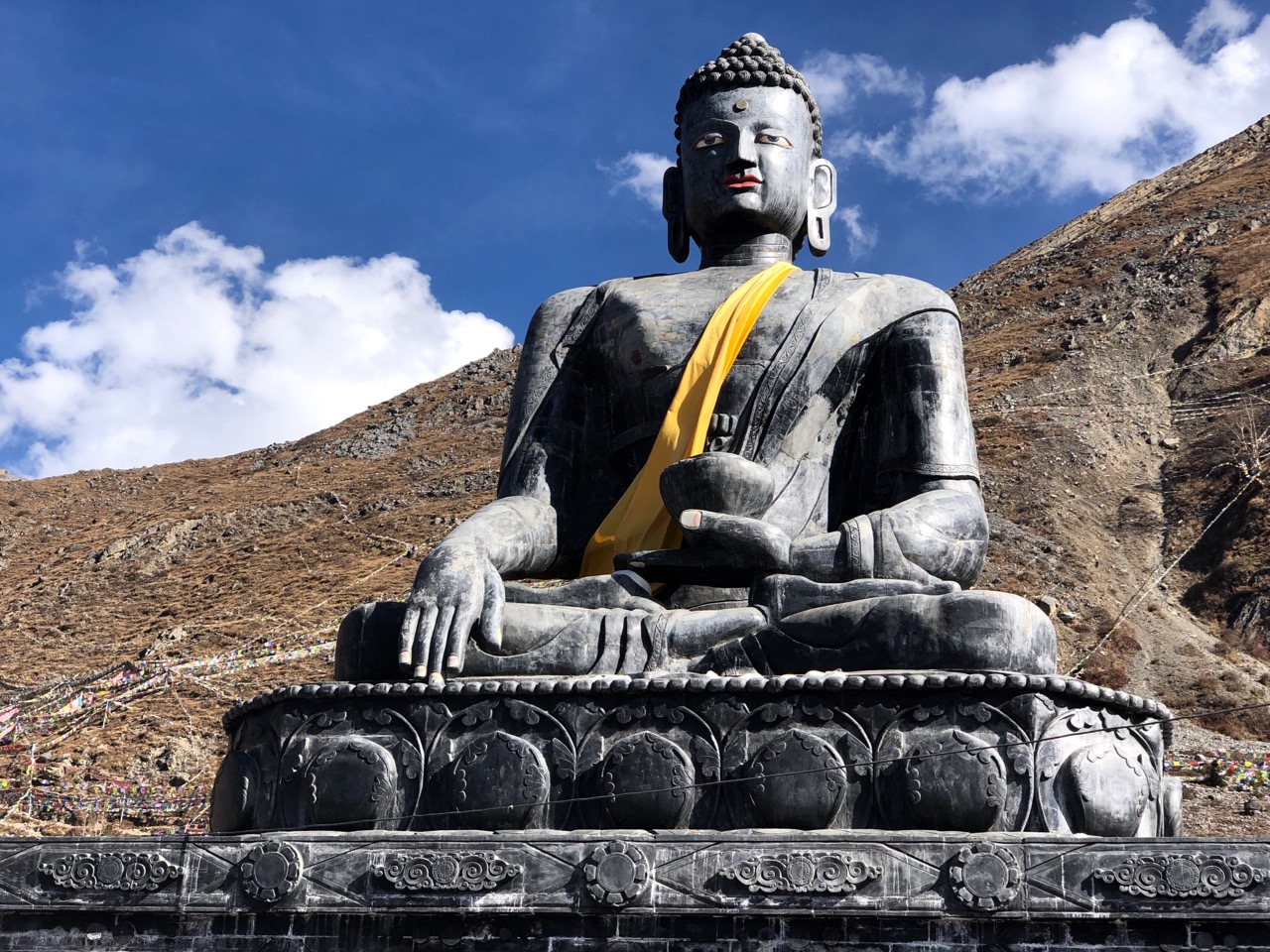
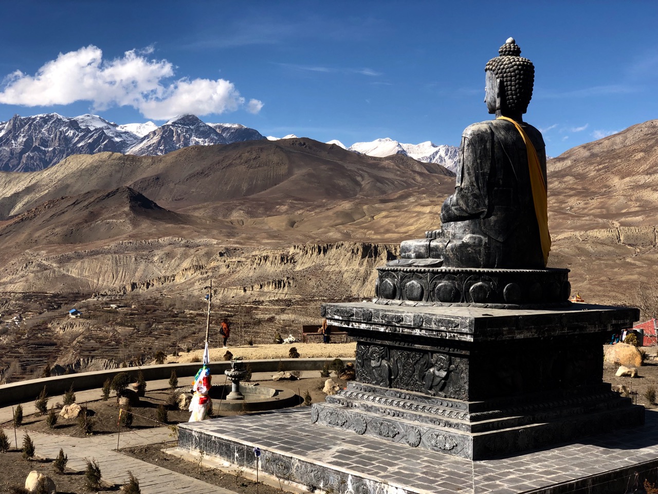
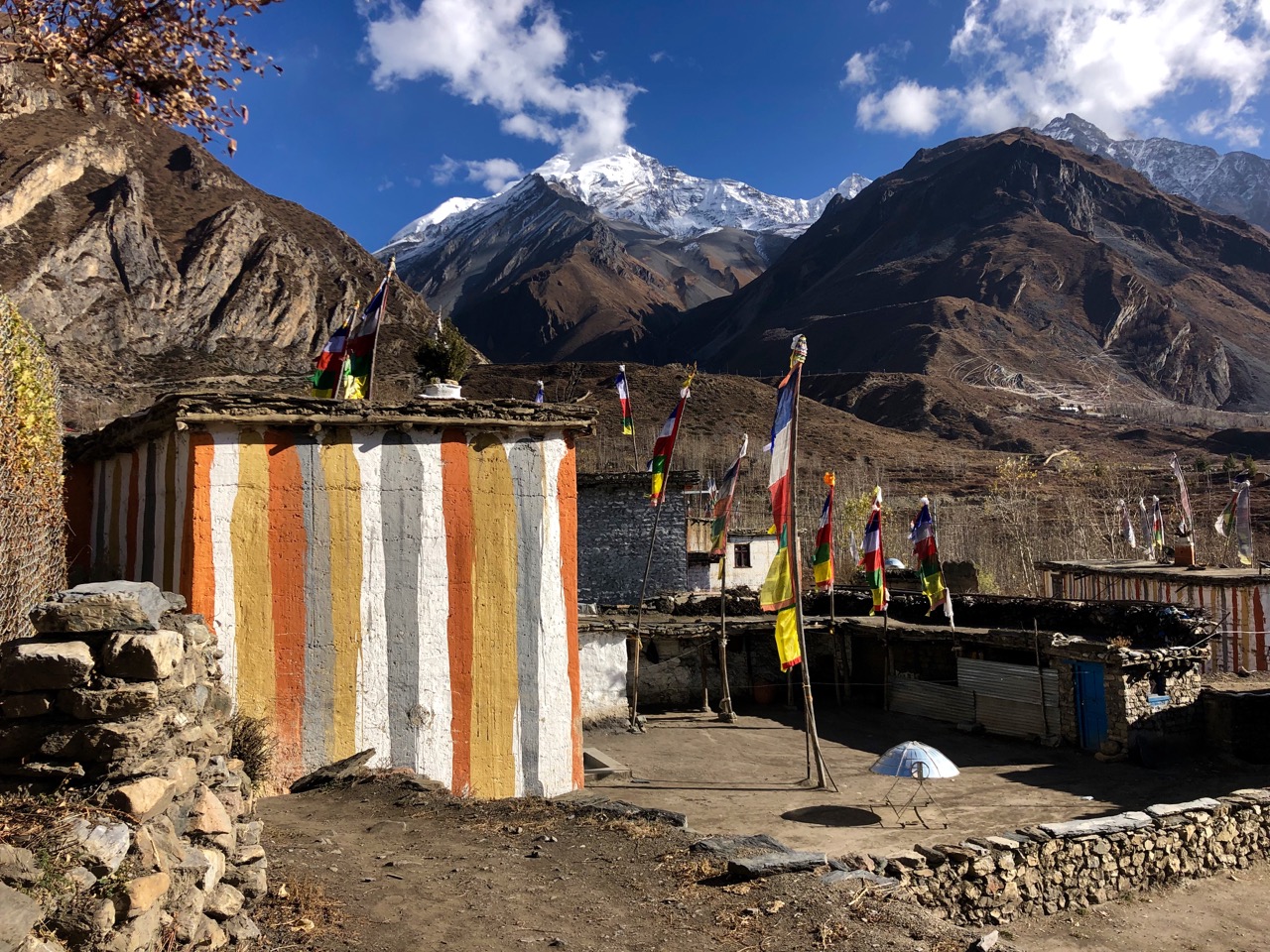
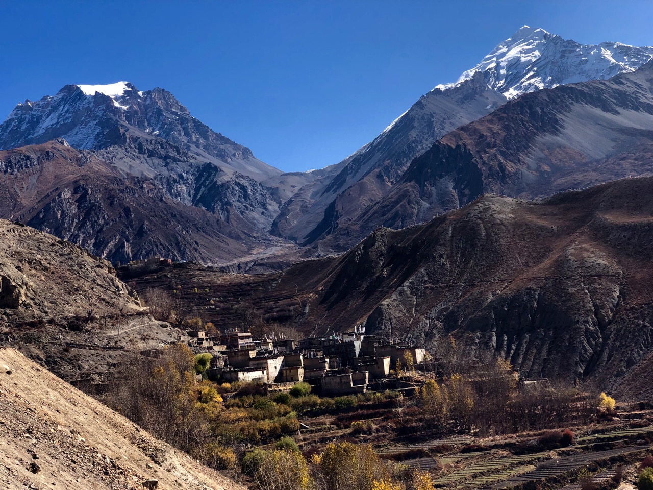
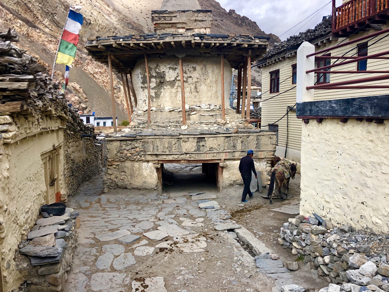
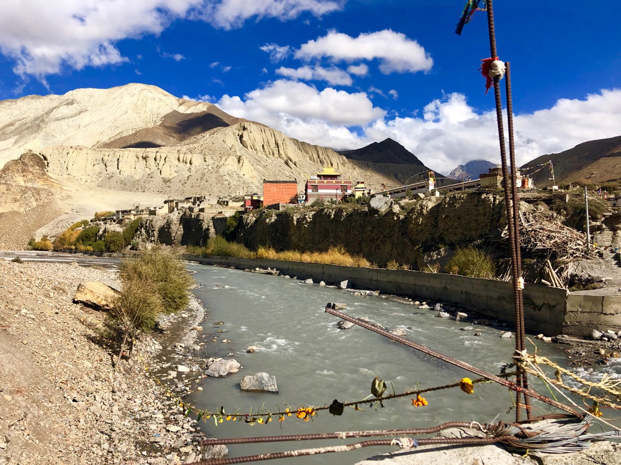
From there I continued over 2 suspension bridges to the village of Jhong (Dzong; 3580m) on the other side of the ‘river’.
Six years ago one huge statue of Shiva was under construction. I sat on the roof at dusk, I recall. It’s finished now.
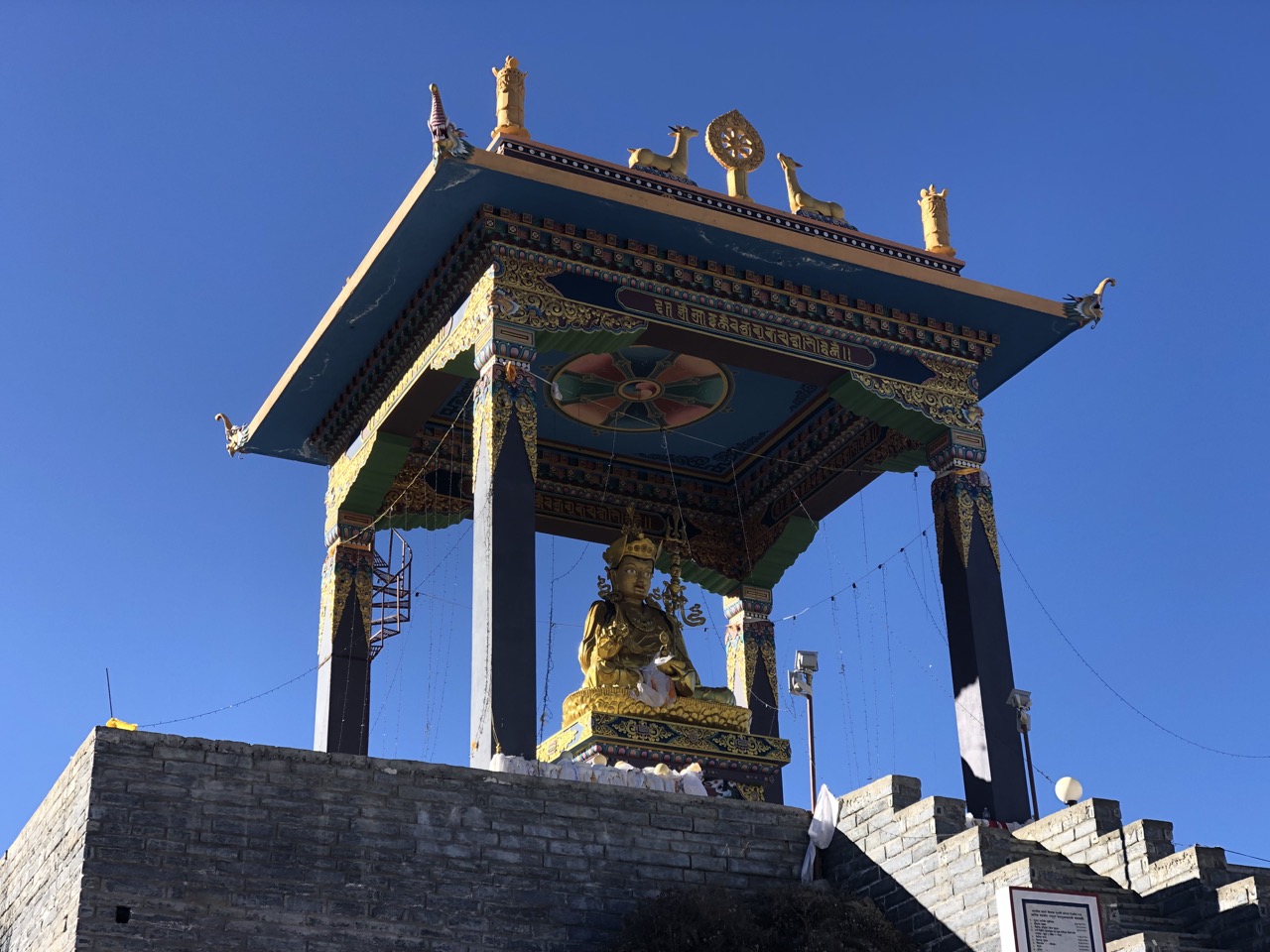
Great views from up there.
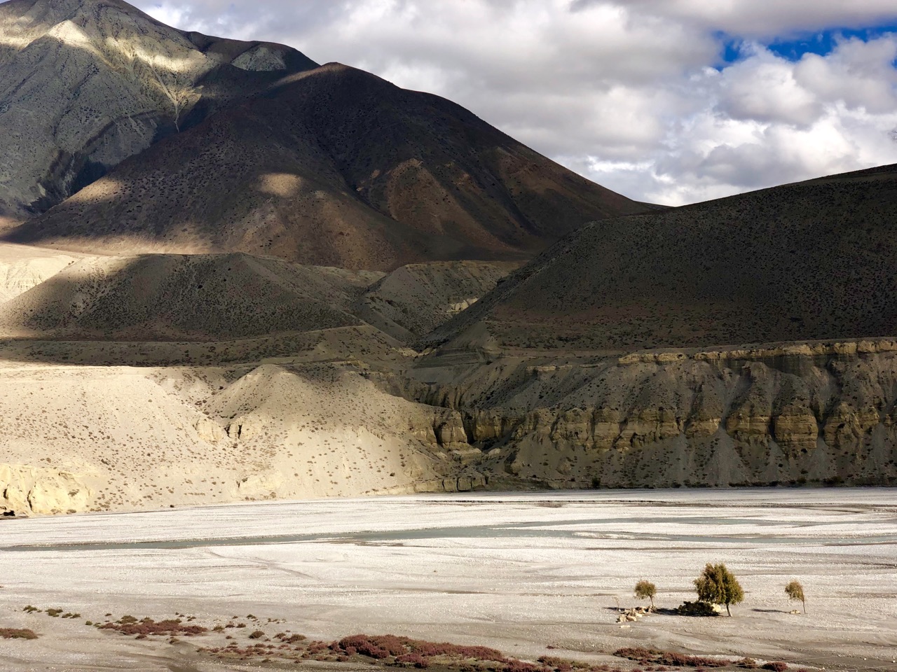
Muktinath in November is also filled with relieved trekkers having successfully crossed Thorung La (5416m) on the Annapurna Circuit, the highest most will ever climb.
That’s it between the peaks. It snowed up there during yesterday’s crossing.
Trip report by BestHike editor Rick McCharles – day 1 | 2 | 3/4
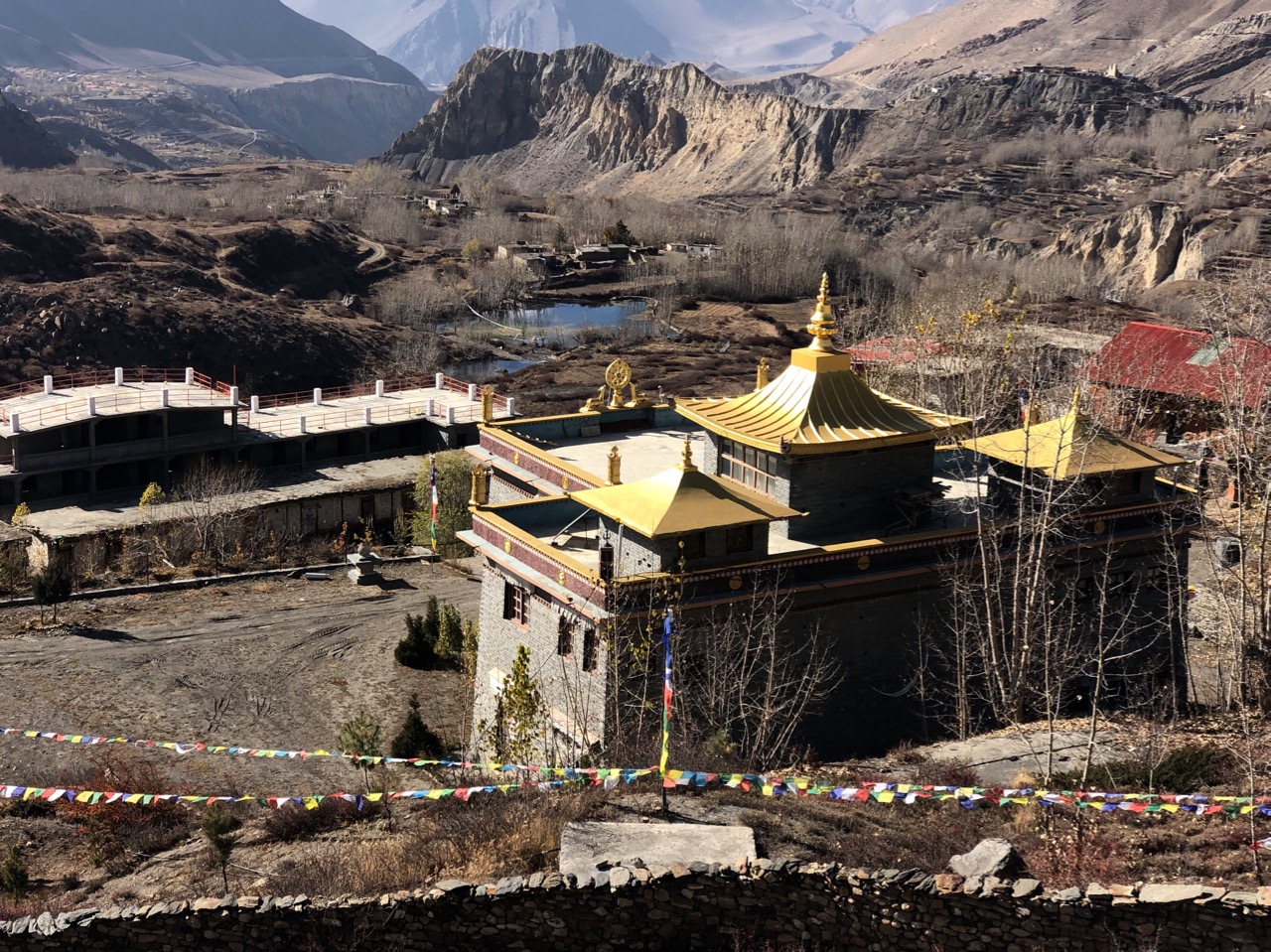
… closely packed mud houses, dark tunnels and alleys, imposing chortens and a large, ochre-coloured gompa perched above the town. …

Click PLAY or watch a short video on YouTube.
Trip report by BestHike editor Rick McCharles – day 1 | 2 | 3/4
trip report by BestHike editor Rick McCharles
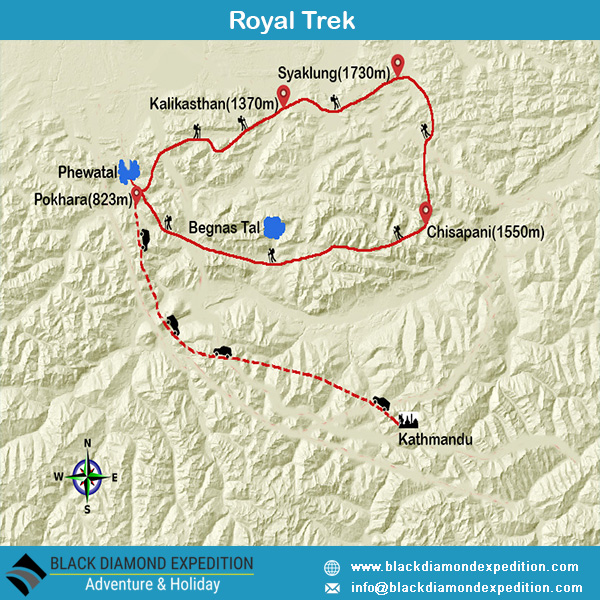
The Royal Trek was named because Prince Charles and his 90 person entourage followed this route in 1981 shortly before he married Princess Diana.
It was once a BIG DEAL. Mick Jagger did it too, for example.
Some walked a loop to and from Pokhara. It was jungle.
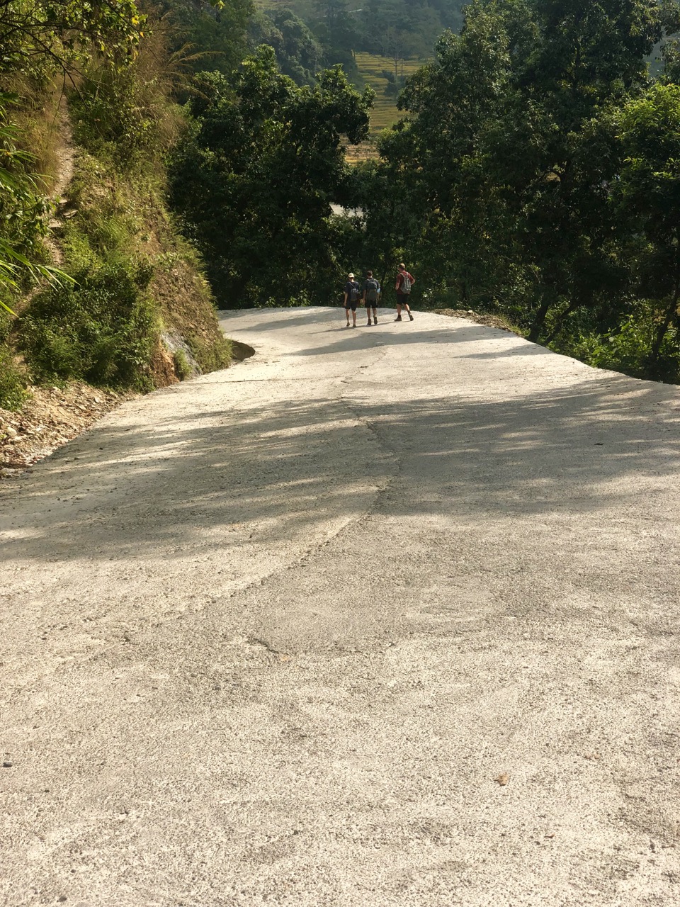
But by 2019 (during the dry season) you could drive most of this route. Take a taxi to any of these villages. Buses run to each, in fact.
Road building has degraded the experience to the point where very few hikers now visit.
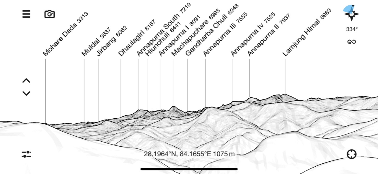
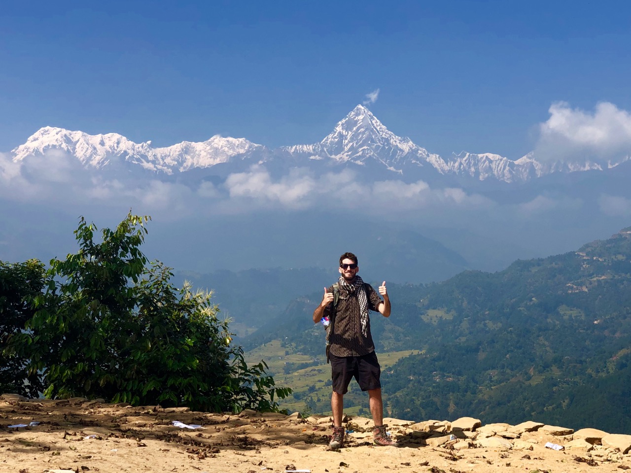
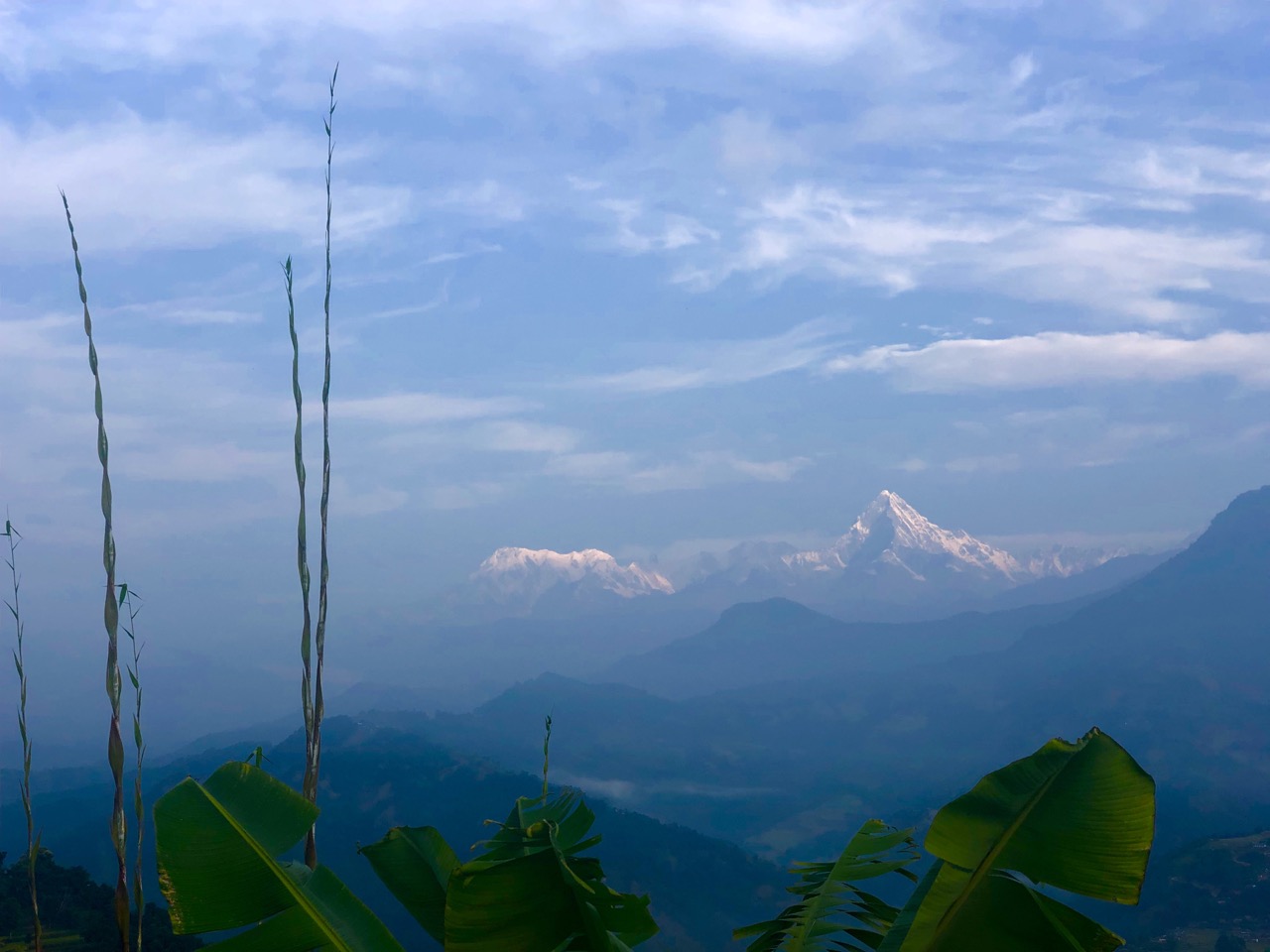
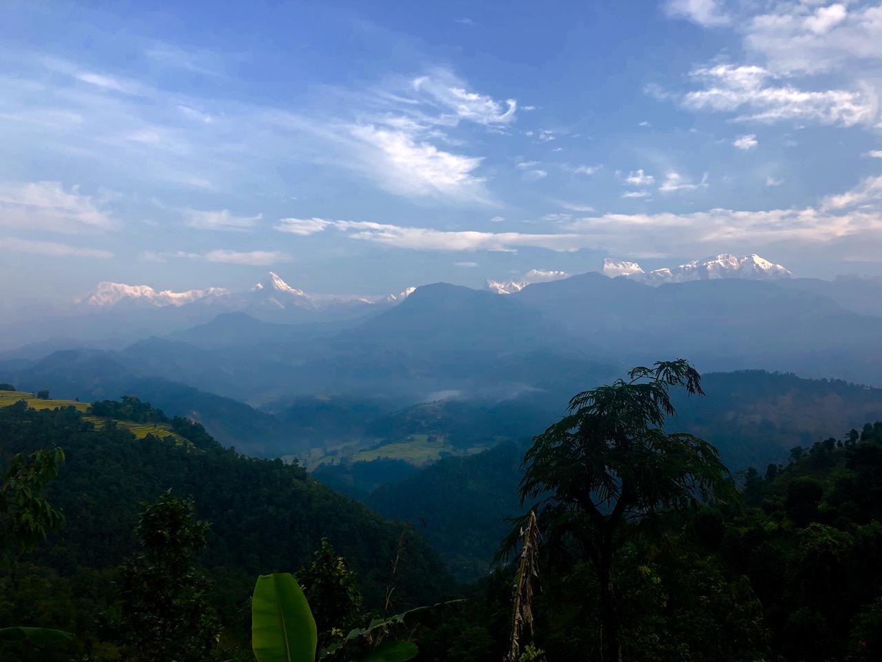
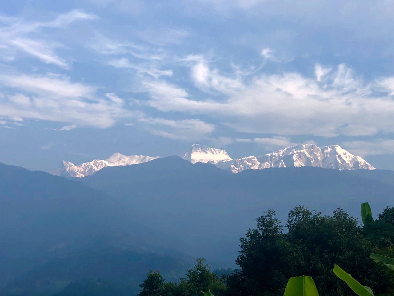
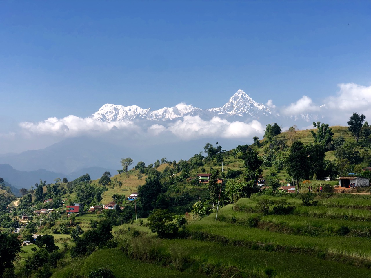
That’s a shame because it’s a great way to see three of the highest peaks in the world from one spot: Manaslu 8,156m, Annapurna 8,091m, Dhaulagiri 8,167m.
Companies will still guide you. 9 days for $600 and up.
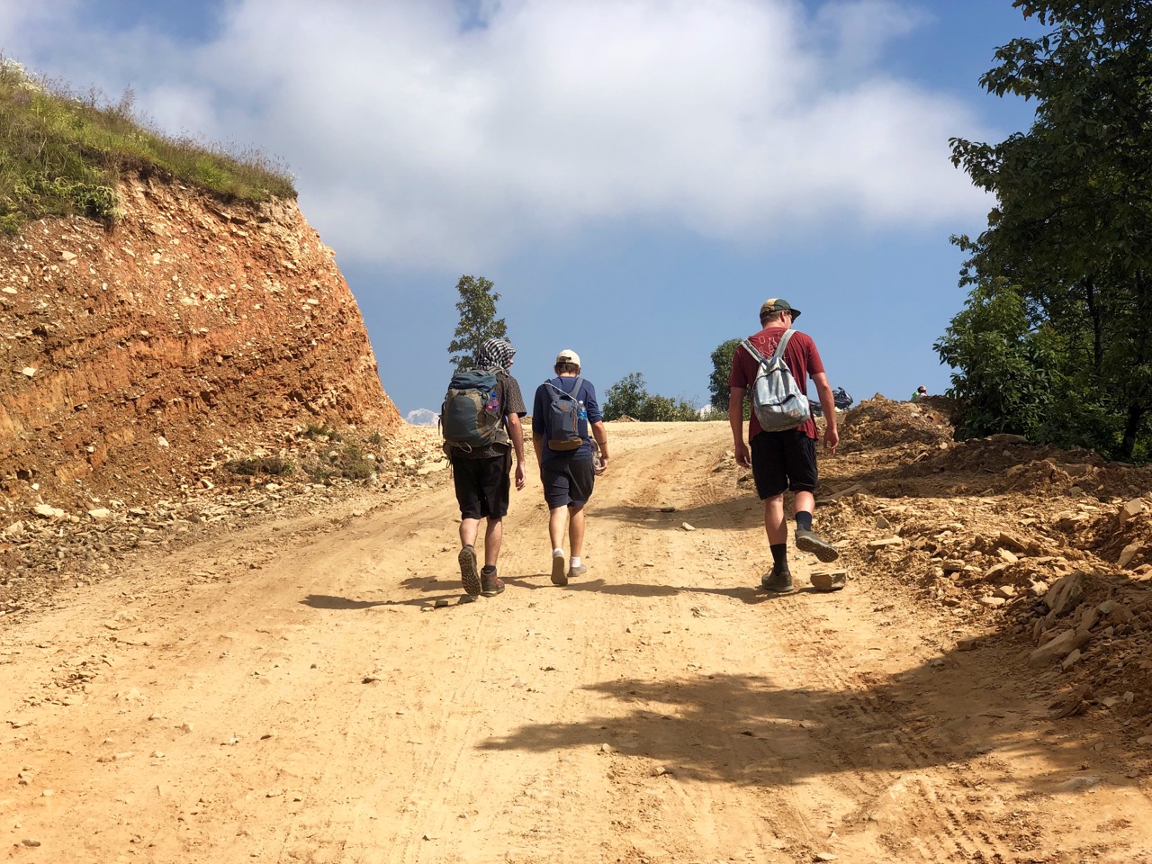
We did it independently in 2 days. Walked no more than 35 km.
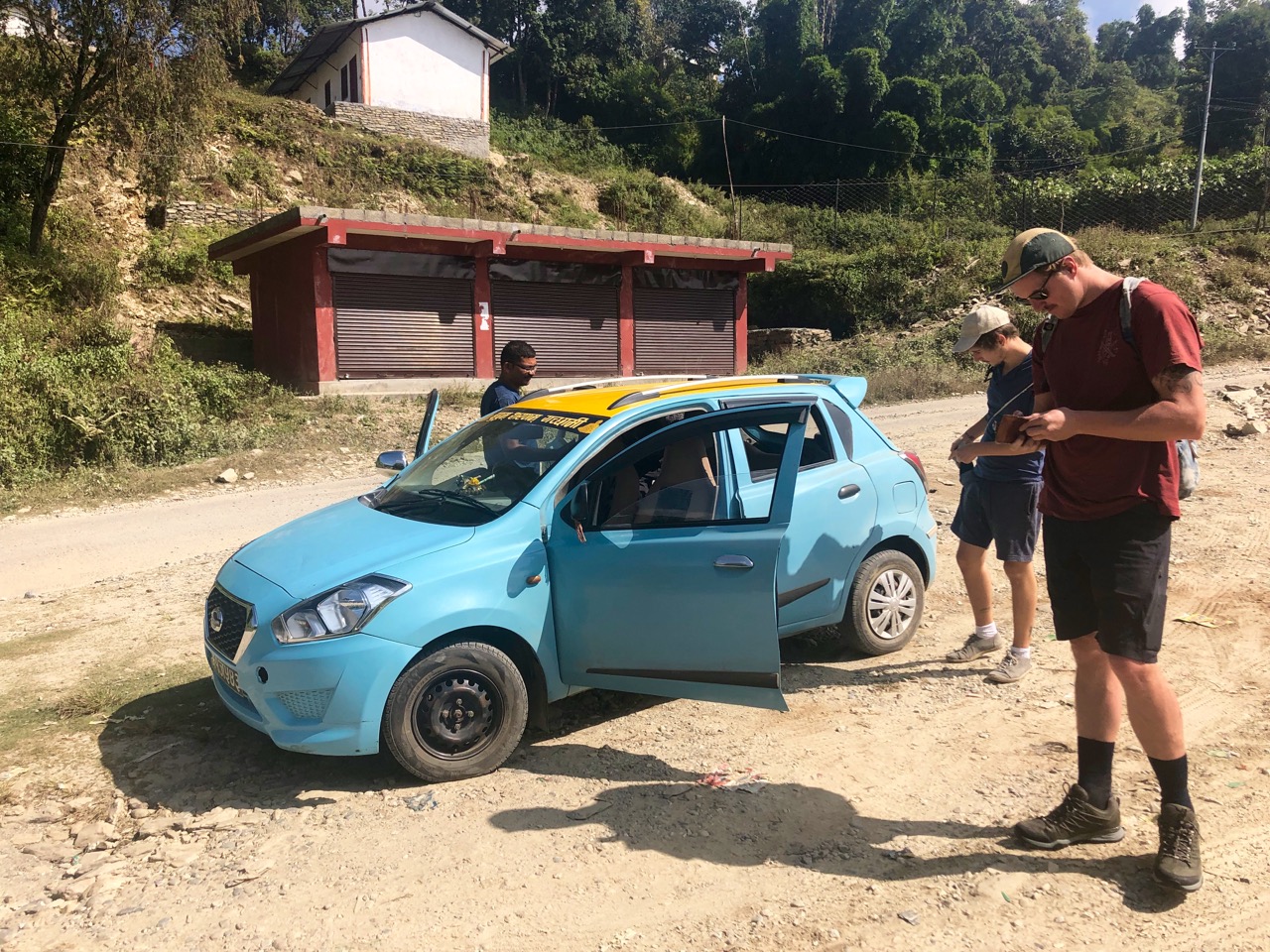
A taxi from Lakeside, Pokhara to Kalikasthan cost $26.
It’s almost entirely a road walk now. Dusty at times.
Do not go unless the weather is clear. You want to see the big mountains including Machapuchhre (Fishtail).
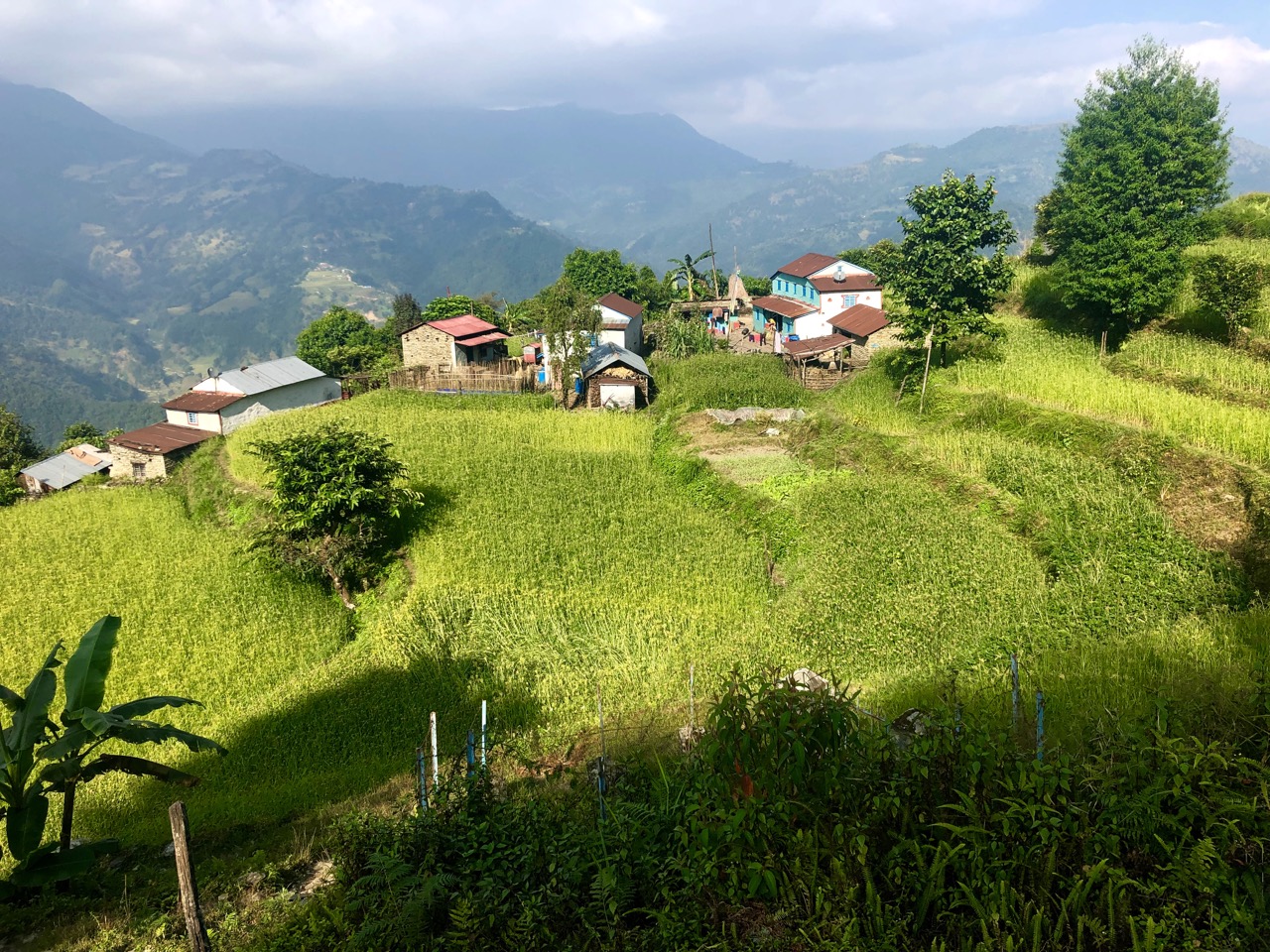
The highlight for us was not the mountains, however, but learning about Gurung village life in the foothills.
You’ve heard of the Gurungs. They’ve been prominent soldiers in Nepalese, British and Indian armies.
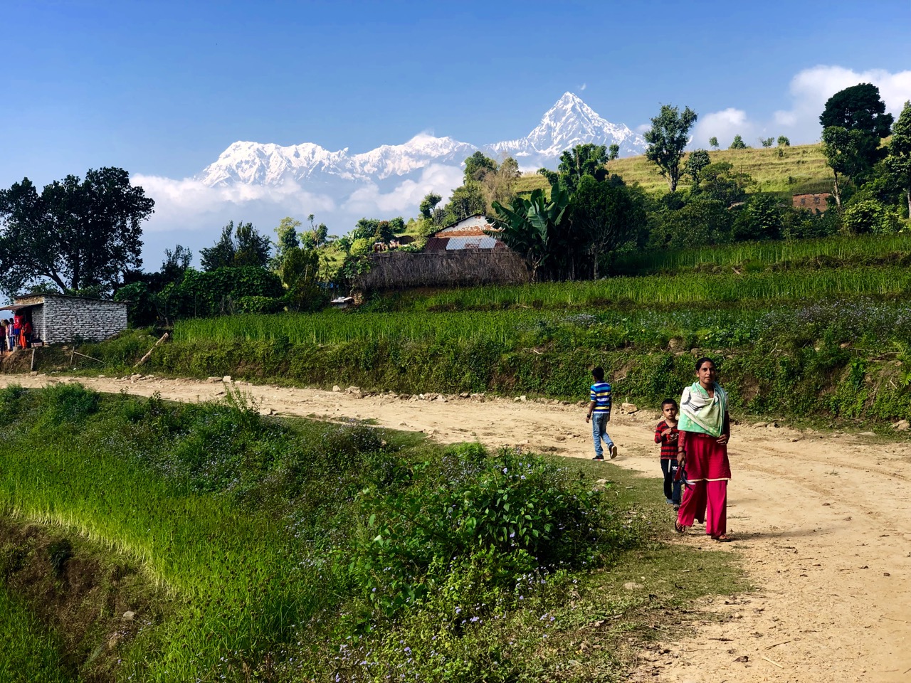
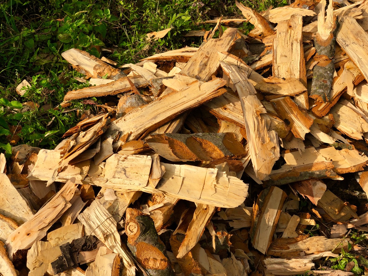
Winter is coming. They were bringing in firewood.
Every village now has water pipes. But in the old days it was carried up from far below. Rain collected in giant concrete cisterns.
Our plan was to hike to Syaklung where I assured the guys there should be plenty of guest houses and restaurants.
Despite having 3 online map apps and a hard copy of the Around Pokhara Valley map, our main method of navigation was to ask people ‘which way to the Royal Trek?’
Eventually … we were lost.
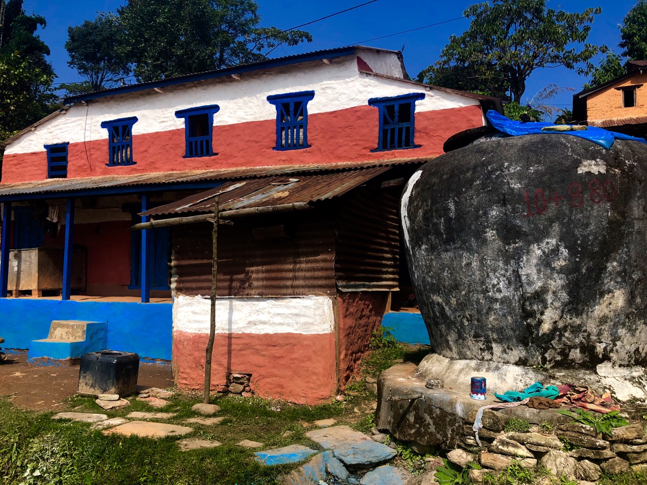
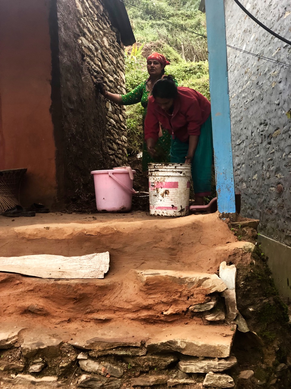
Backtracking to the village of Lipeyani, we were incredibly fortunate to meet a gentleman named Rishi who had come up to the family farm for the Diwali festival. We met his people too.
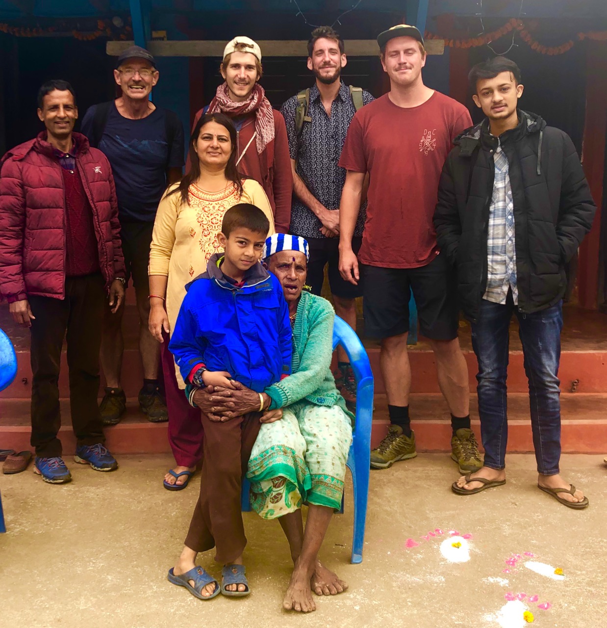
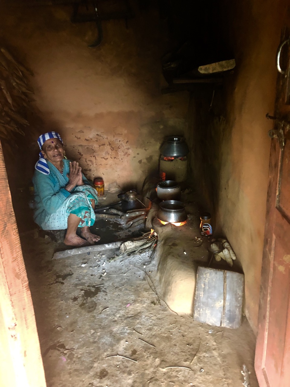
Moma is age-71, but still works the farm. Her eyes have been damaged from decades of cooking smoke.
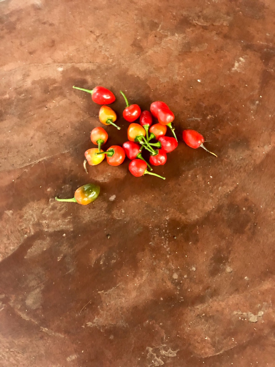
She picked fresh ginger and chilies. Their small, hard oranges were excellent too.

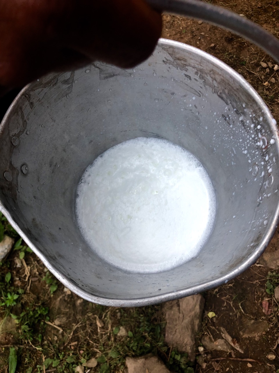
Rishi’s brother brought fresh buffalo milk for our coffee (Nescafe).
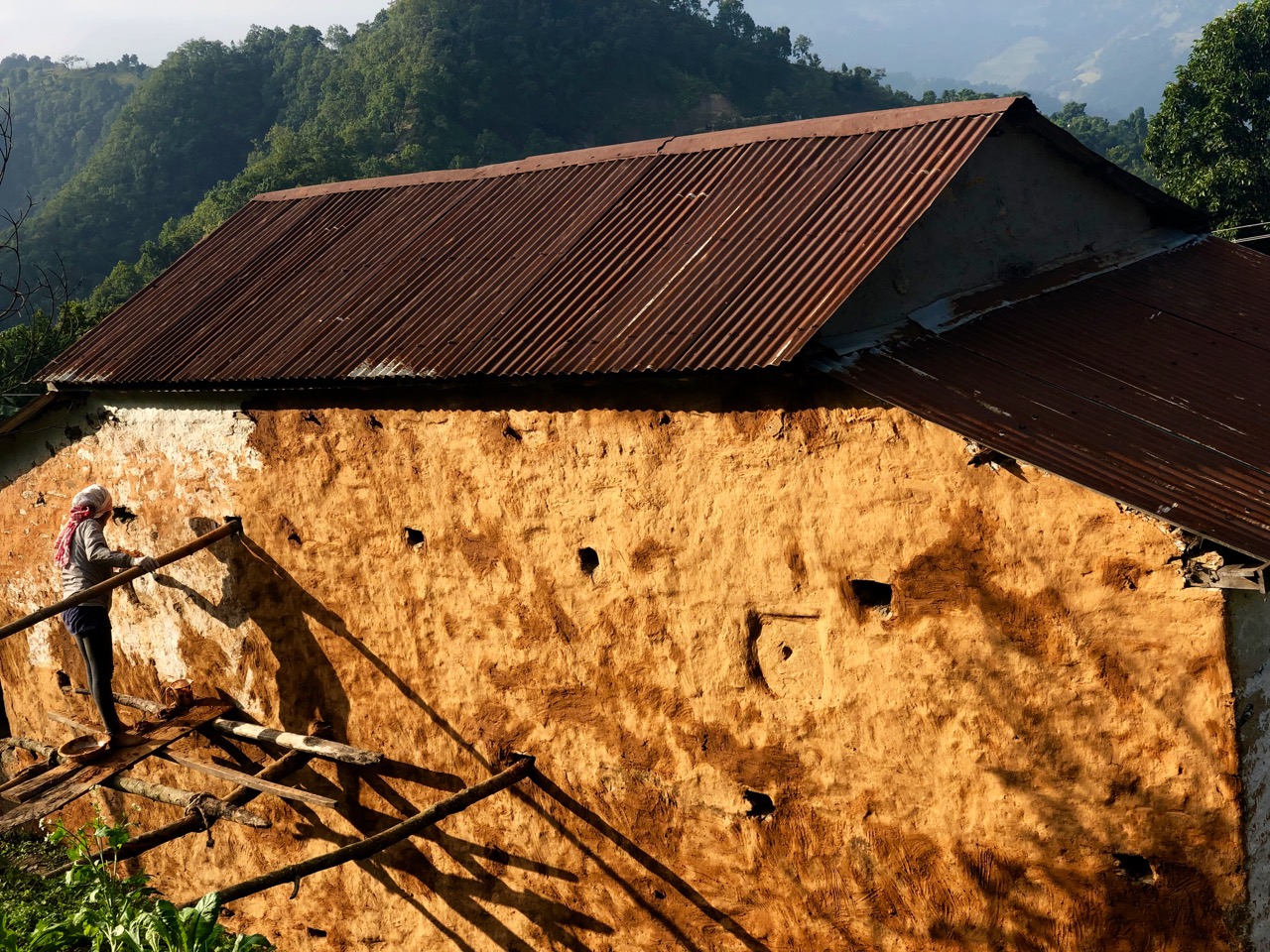
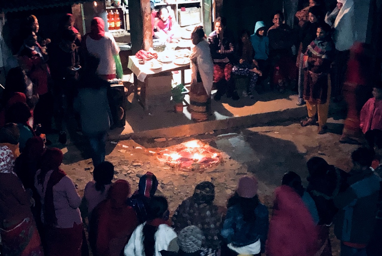
For Diwali, Nepalis clean and decorate their homes.
Fresh coats of mud applied.
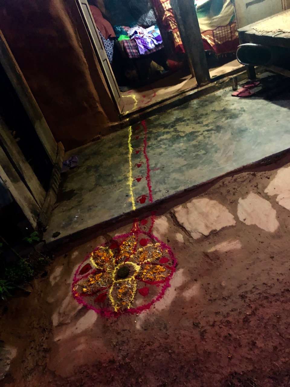
They illuminate the interior and exterior of their homes with diyas (oil lamps or candles), electric lights, etc. .
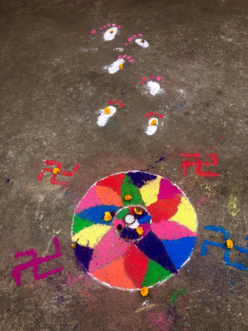
They offer puja (worship) to Lakshmi, the goddess of prosperity and wealth. Many homes have a trail into the house.
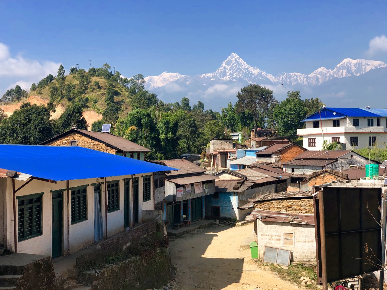
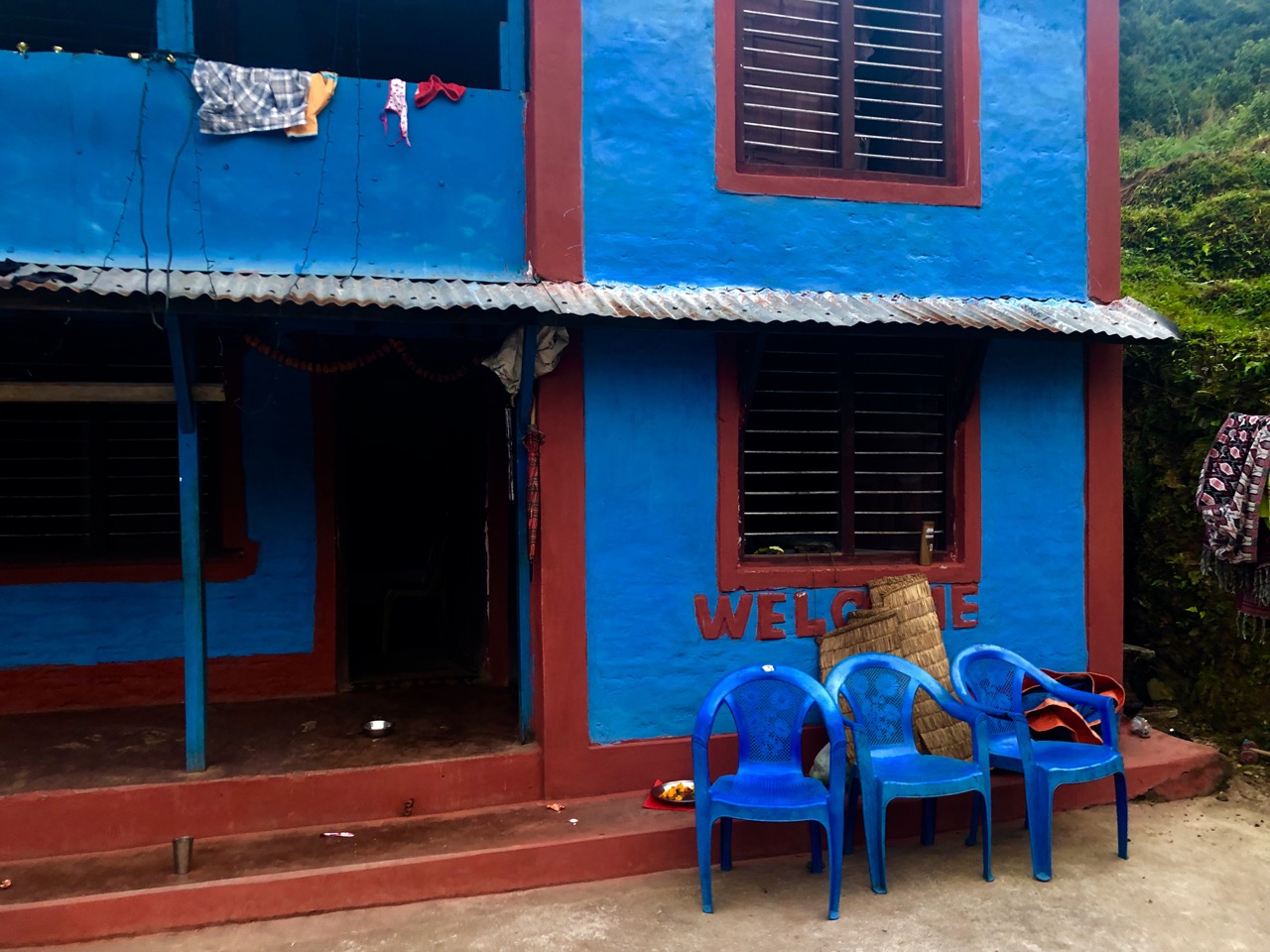
Rishi suggested we stay in his village instead of Syaklung Danda, our intended stop. We were very happy we did.
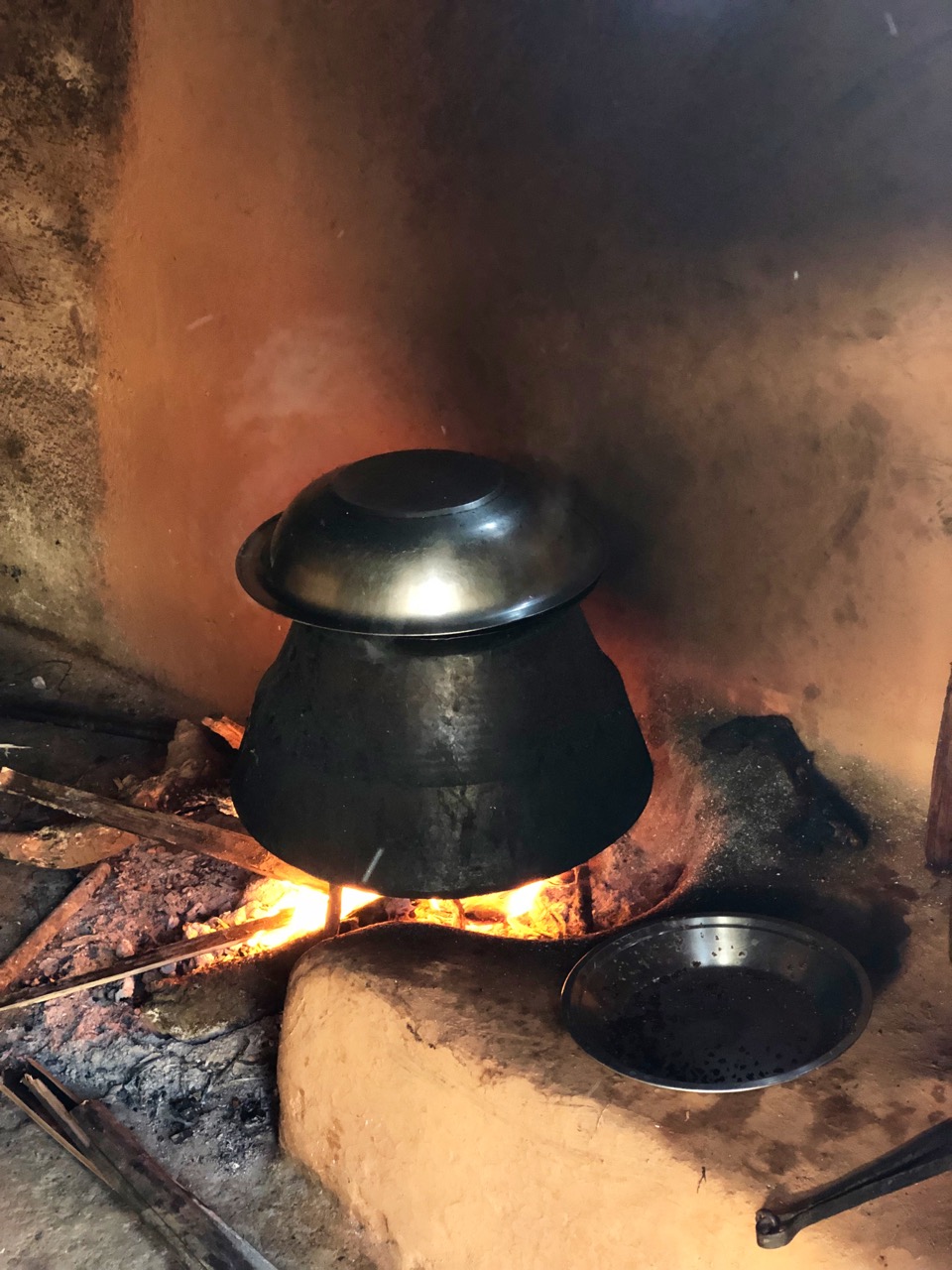
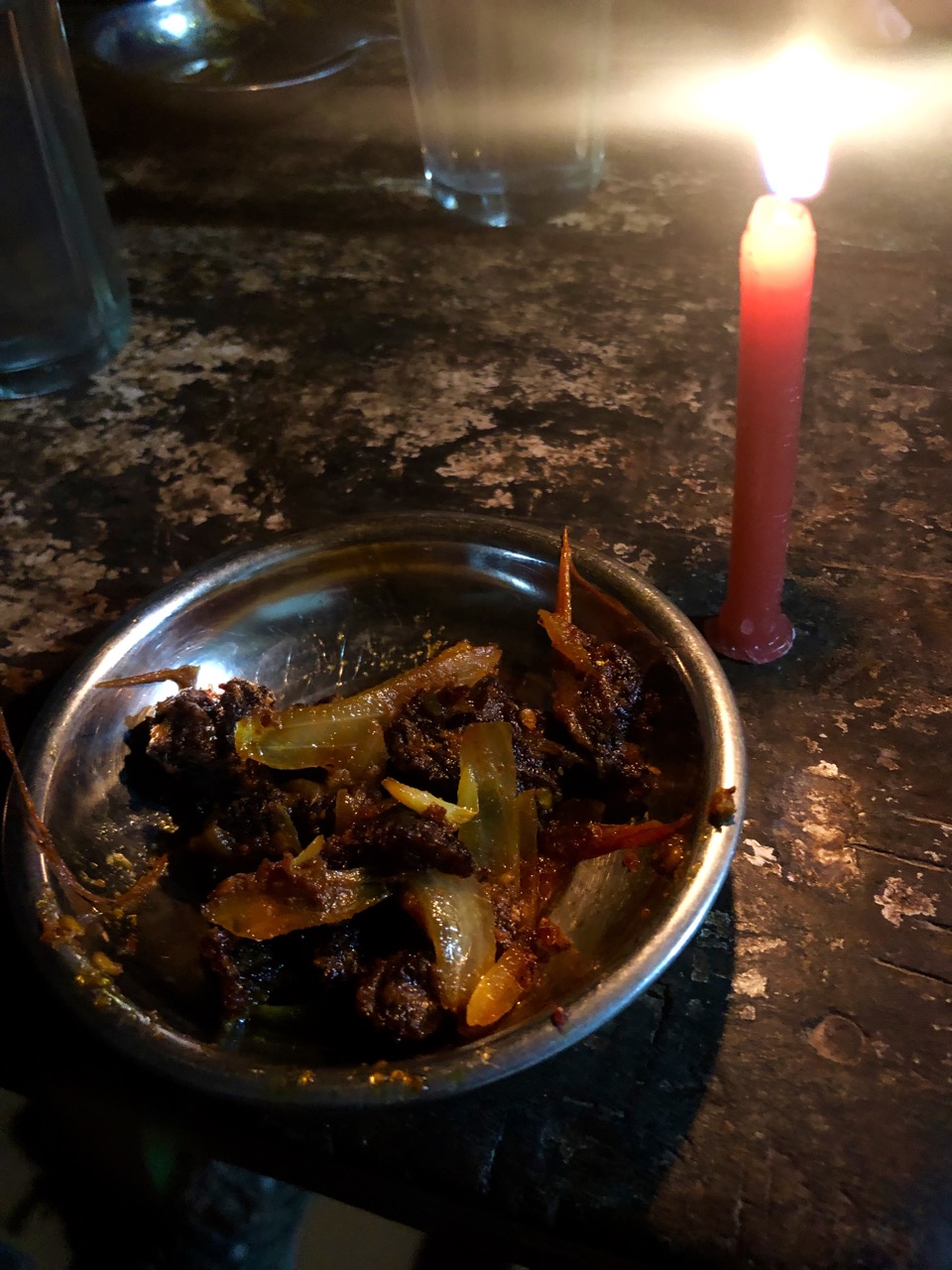
It was Dal Bhat for dinner, of course. The staple. But for an appetizer we were offered a special treat — dried, smoked, spicy goat meat from the high Himalaya. They call it sukuti.
That night we were welcomed into the annual Diwali festivities. Much dancing, chanting and singing. And a bit of drinking. I had the local boiled rice wine called roxy.
We slept well on hard mattresses. And dreamed of having the big vistas early morning.
It dawned not as clear as the previous day, but we did see the three big peaks from one vantage.
Mission accomplished, we decided to walk out as directly as possible to Begnas Lake. Our Royal Trek route ended.
It was mostly downhill on dirt or paved roads.
Rice looks to be the most important crop.
Rishi is a specialist in rural development. He told us these village are in trouble. The young people leave for the cities, India or the Middle East, and those who remain have trouble making ends meet. He consults on new initiatives for the foothill farmers.
Begnas lake is impressive, but I prefer Lakeside, Pokhara as a tourist destination.
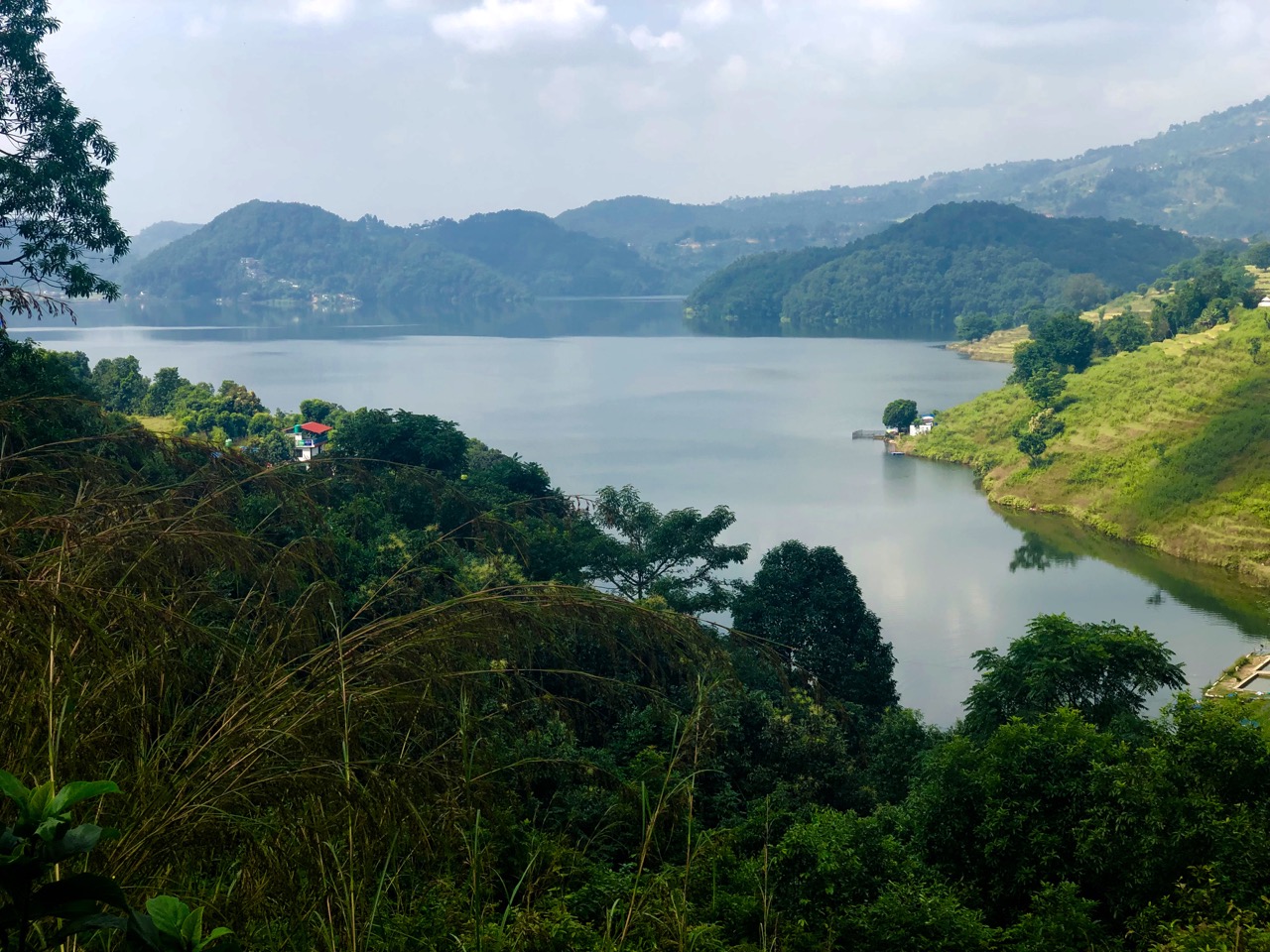
We took lunch at a local restaurant in Begnas Tal Bahar, then caught the Lakeside bus.
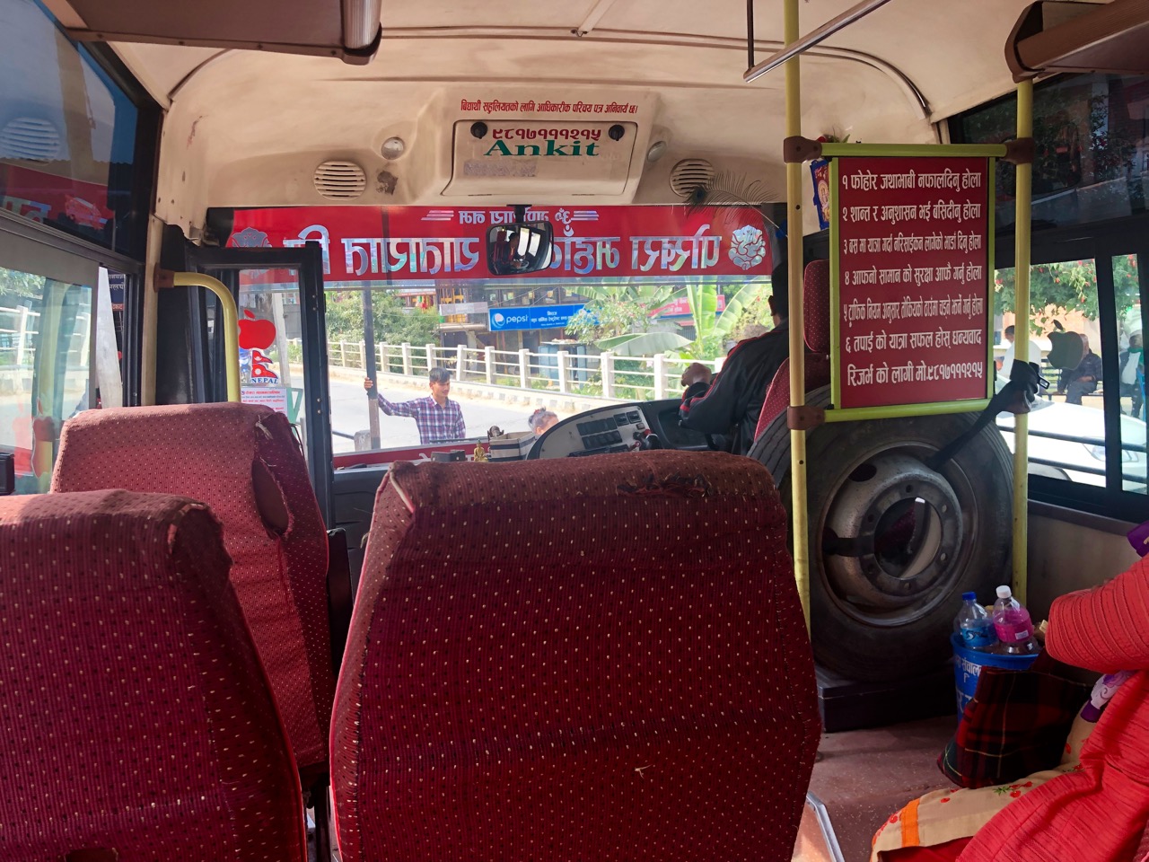
It’s only 30km back to town, but the local bus is SLOW. If I did it again, I’d taxi back to Pokhara.
Other highlights:
Best months for the Royal trek are March – May and September – December. It can get cold at night.
Annapurna: A Trekker’s Guide by Sian Pritchard-Jones and Bob Gibbons might still include the Royal Trek. Lonely Planet Trekking in the Nepal Himalaya (2016) does not.
If you like this vista, do the Royal Trek on your own. You’ll be unlikely to see any other foreigners.
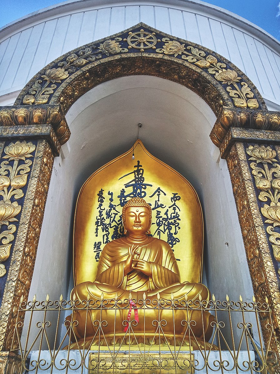
One popular destination close to Pokhara, Nepal is Shanti Stupa, a Buddhist pagoda-style monument.
There are great views of the Annapurna range on a clear day.


Though you can taxi, cycle, or walk — best is crossing Fewa Lake by local boat.
A long paddle, Josh helped out the boatman.

From the bottom it’s a steep climb on stone stairs. Perhaps 45 minutes.
It’s 115 feet tall and 344 feet in diameter.
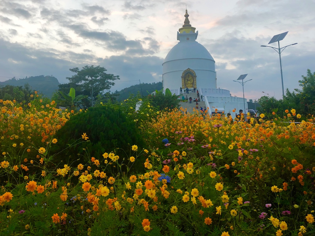
We’d come up for sunset not knowing that it closes about sunset. We didn’t get the chance to see Buddha.
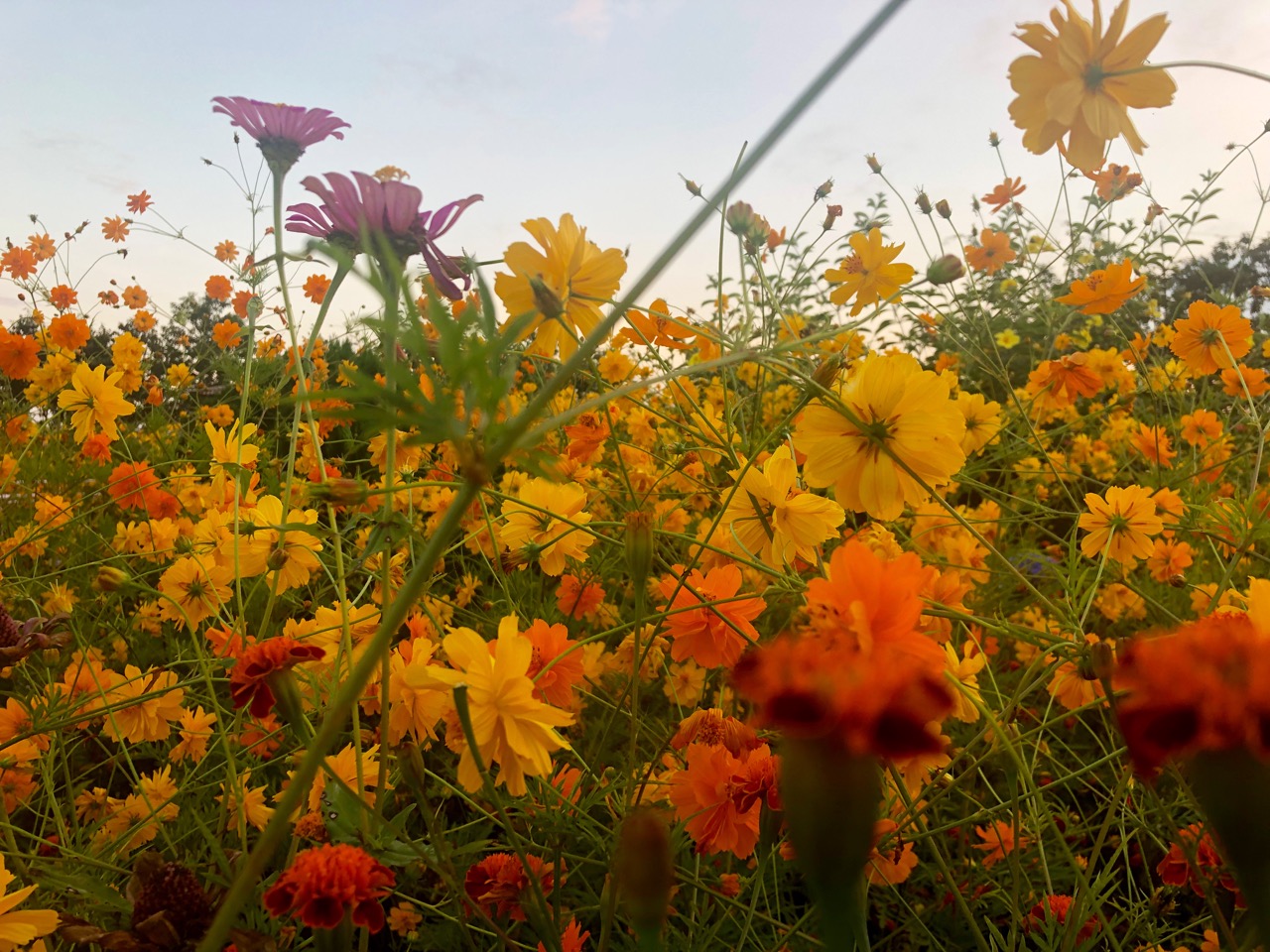
So the highlight for me was the flower gardens.
We returned by boat, as well. It was dark by the time we got back to Lakeside.
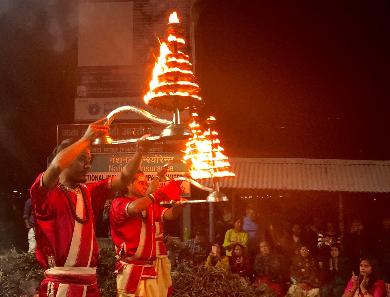
The Diwali festival was ramping up. We happened upon three fire dancers at landing.
Worldwide, there are many similar Peace Pagodas. Check out any you come across on your travels.
