
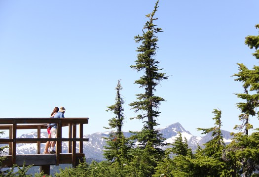
Strathcona Provincial Park, Vancouver Island
Trip report by BestHike editor Rick McCharles.
Click PLAY or watch the climb in less than a minute on YouTube.
Mt Albert Edward, 6th highest peak 2093m (6867ft) on Vancouver Island, is well known because it’s visible from Mount Washington Alpine Resort.
It’s named for Albert Edward, Prince of Wales, later King Edward VII.
Most who climb it start at Circlet Lake campground.


From the campground it’s only 5.5km to the summit, but it took much longer for me than I anticipated. Update: that sign on the trail is wrong. It’s significantly further than 5.5km. 😀
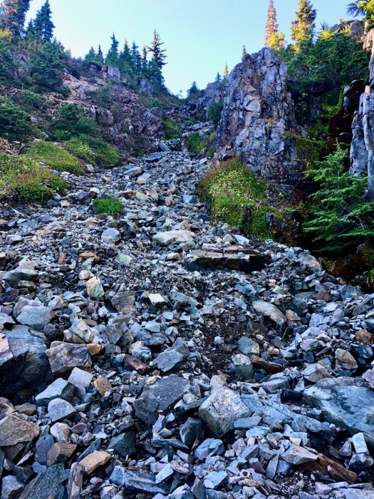
The muddiest trail I found was that just departing Duck Pond.
I hiked Circlet to the summit on the trail marked in red.
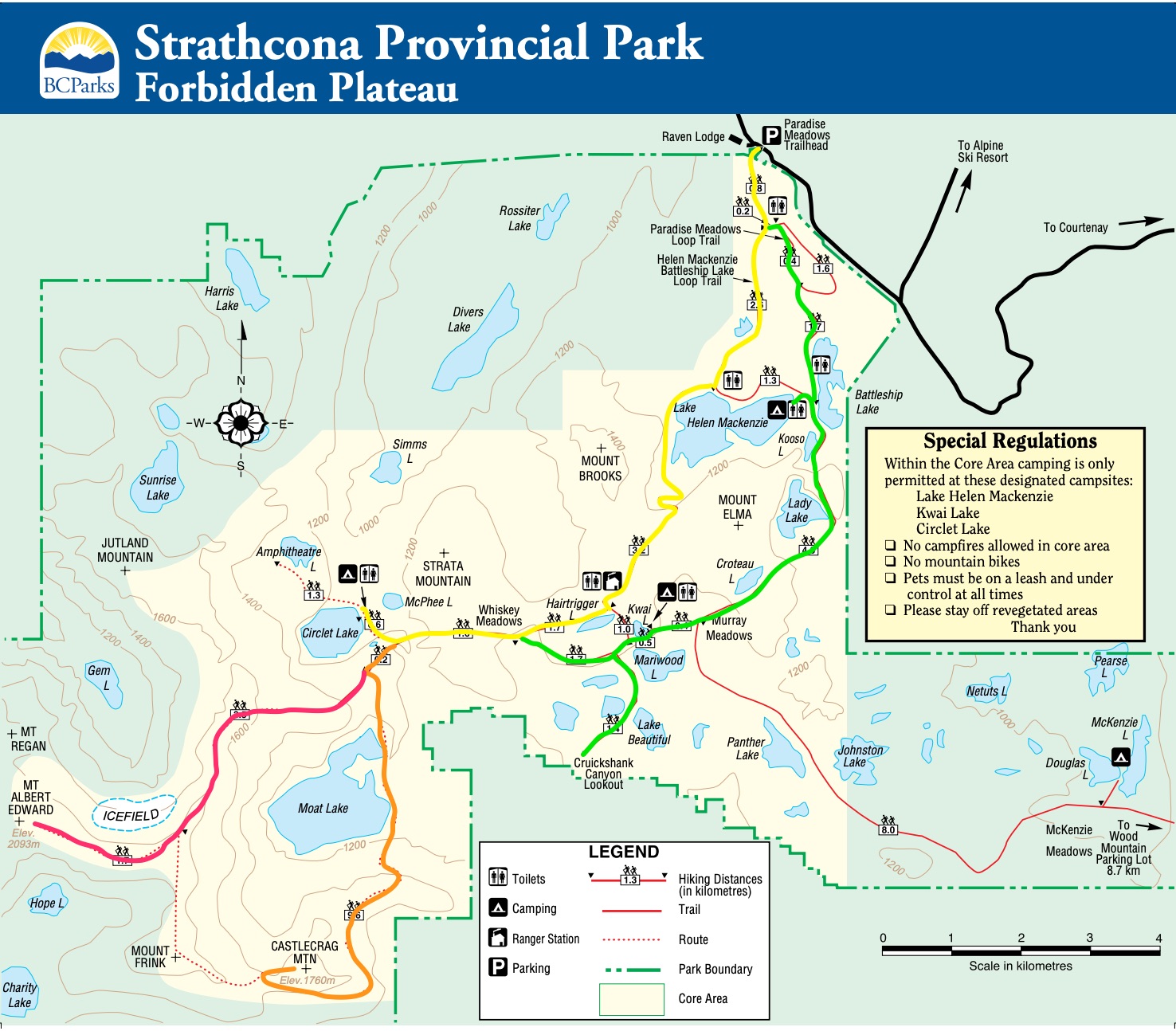
Here’s the original Park map online.
Bring enough water for the day as there no great gushing streams en route.
At the sign pointing left to Moat Lake, keep right for Edward Albert.

The ascent itself is only medium difficulty IF the weather is good.
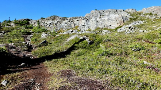
Some scrambling.
I had perfect weather. But it can be deadly in normal weather — cloudy, cold, wind. Don’t go for it unless you are confident visibility will hold.

Follow occasional cairns and, possibly, ribbons. Navigation is not all that difficult in good weather.


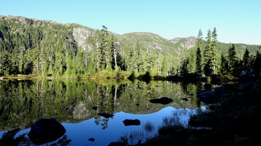
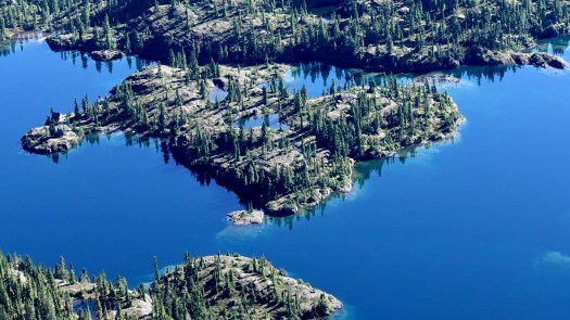
Moat Lake is gorgeous.

At one point you can follow a series of aluminum poles.
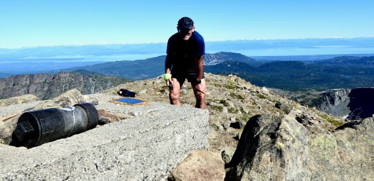
Once you reach a wide shoulder leading up to the summit, it’s easy going with terrific views.


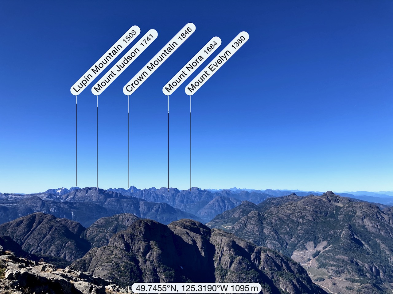
Here’s the view looking back on Mt Washington Ski Hill.

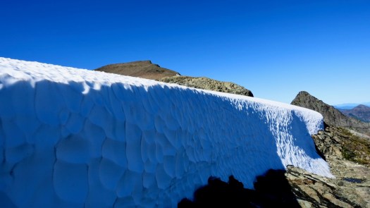
Be wary of cornices especially on the north and west sides of the ridge.
There was not much snow left end of September 2020 when I was there.

What a great day!

Some hike 3 peaks (Edward Albert, Frink, and Castlecrag) from Circlet, a tough go!
Other adventures that include Edward Albert summit are the Augerpoint Traverse and Comox Range Traverse.
Me?
I headed back to Circlet Lake for siesta.

See all the full resolution photos from this hike on Flickr.
For more, click PLAY or watch an excellent video on YouTube.
