I cycled in to the Lake Chaiguata as part of my Patagonia bikepacking trip. Cycling is a great way to get to trailheads in this remote part of the world.
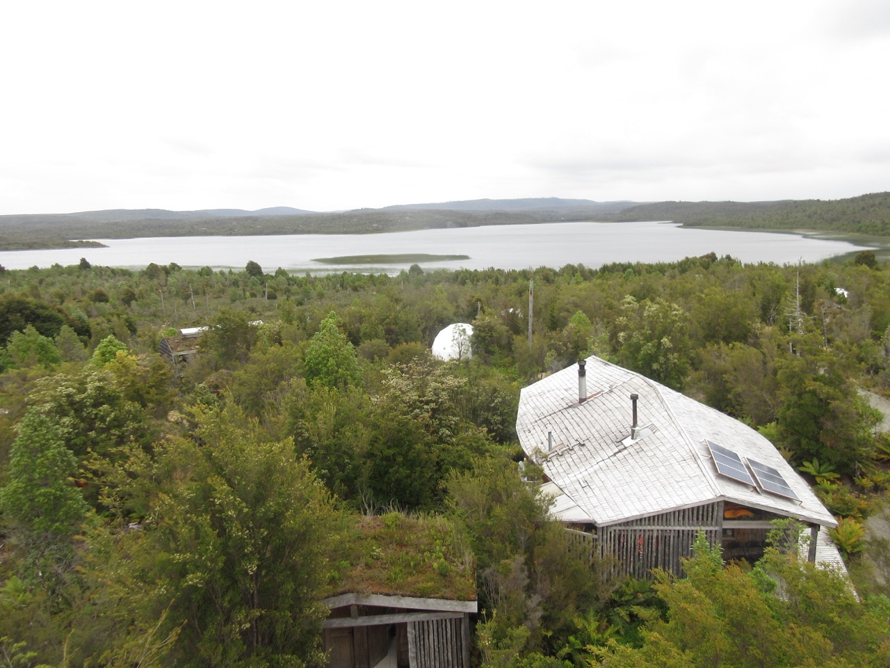
Parque Tantauco is fantastic. And fantastically well organized and funded.
The campsites are as good as I’ve seen anywhere. They put down wood chips to keep them dry.
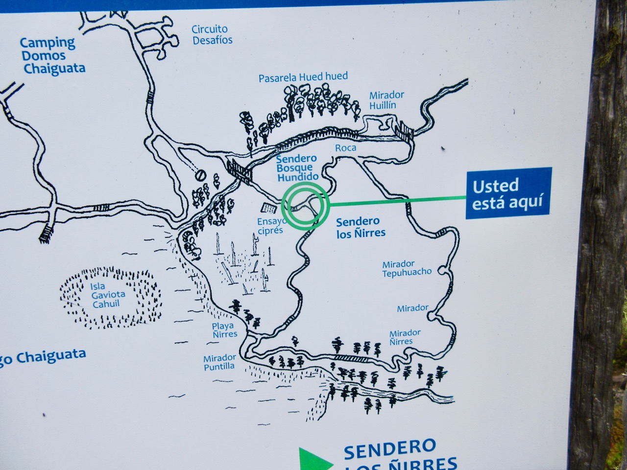
There are a number of day hikes of various lengths, all well signed.
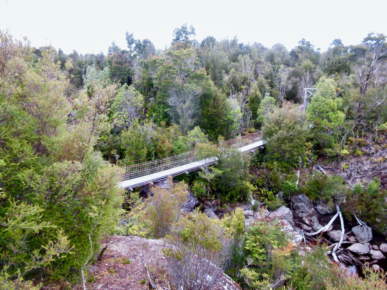
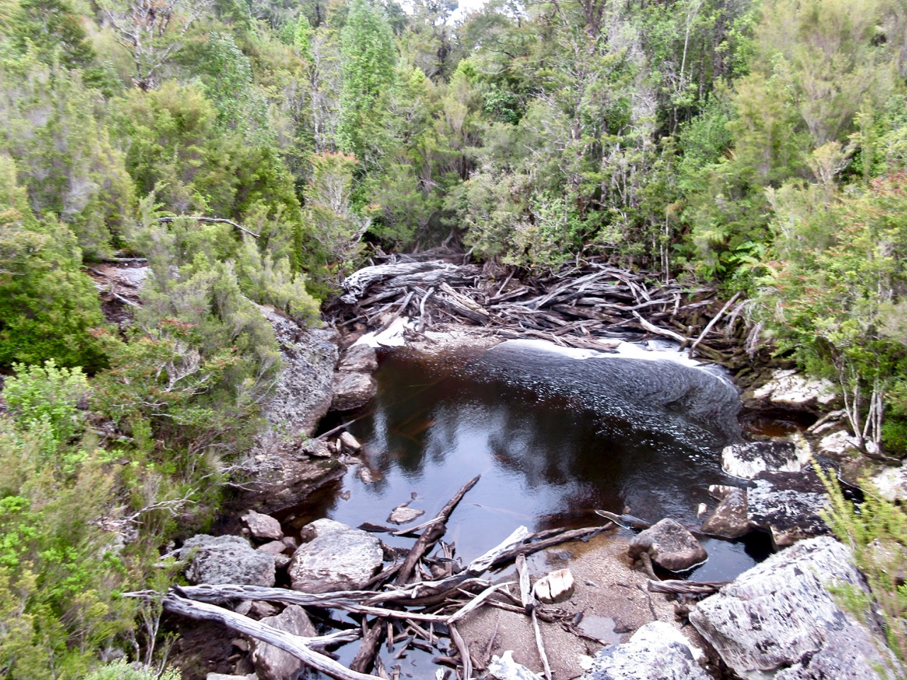
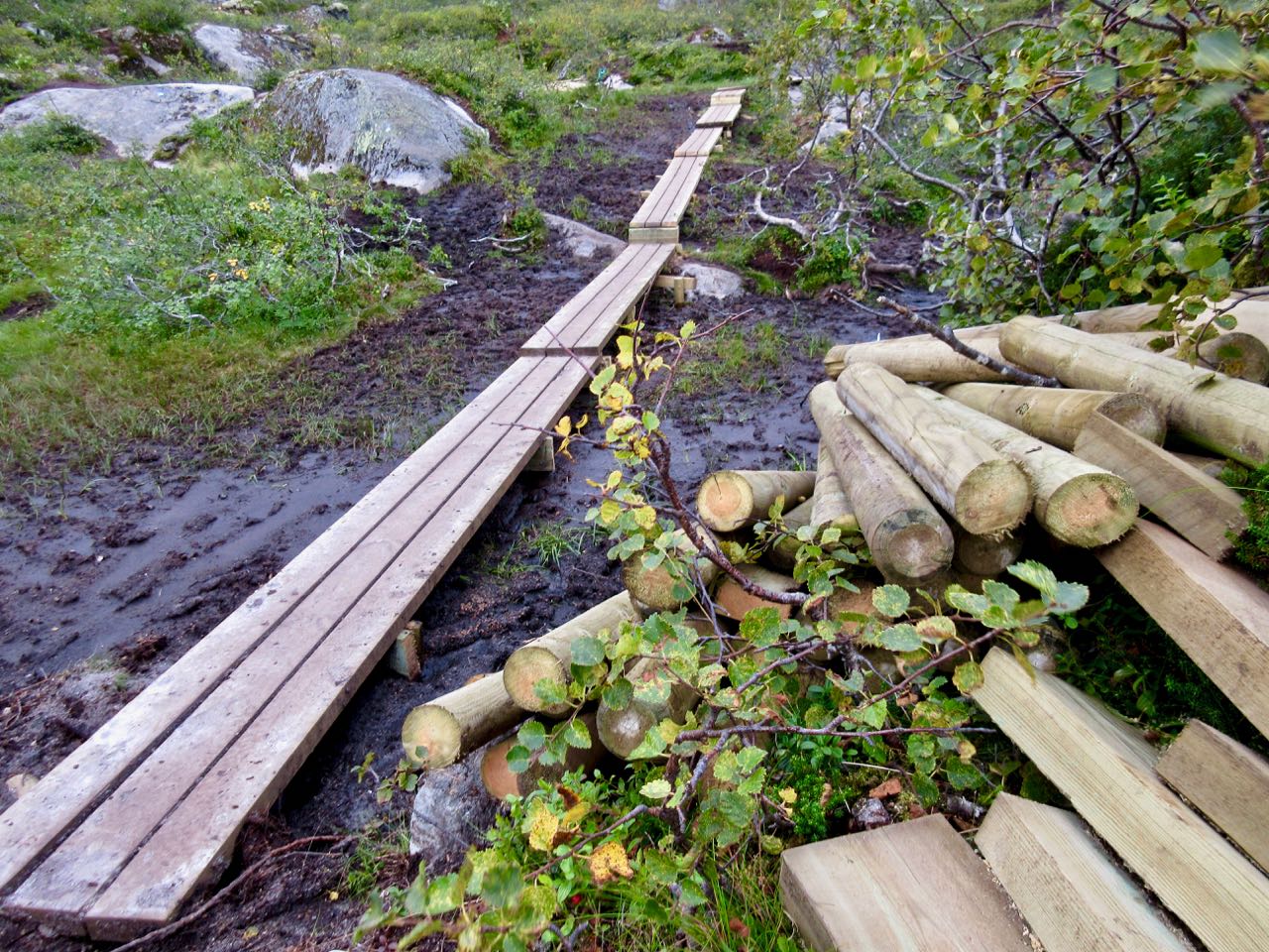
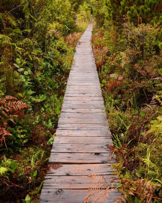
This is a wet, wet landscape. Thus they’ve built a LOT of boardwalk. And I love boardwalk.
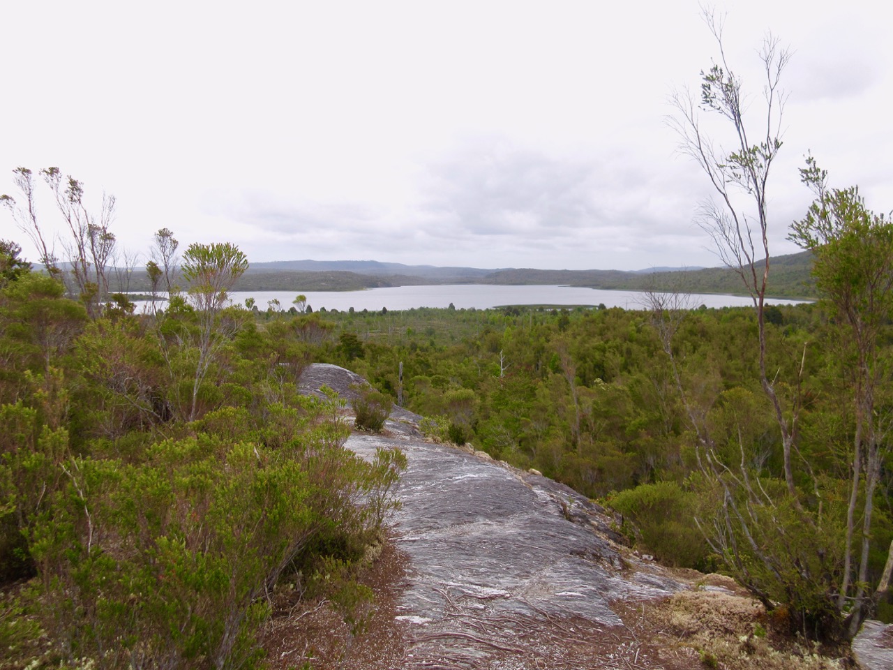
Though the topography is fairly flat, trails are built to take you to overlooks.
You can do a half day hiking circuit from Bled. But I was riding with a tourist agent from Belgium who was doing research on the area. She had a rent-a-car.
In October near end of day, it wasn’t particularly crowded. Nor was Bled During July and August you may have trouble finding a place to park. And all accommodation can get booked out.
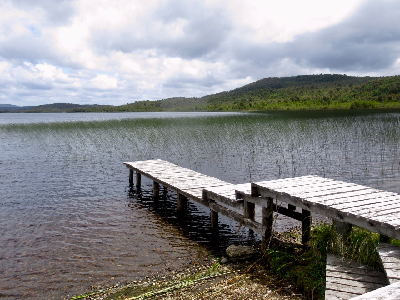
The water is so clear you can watch fish waiting on food to drift down.
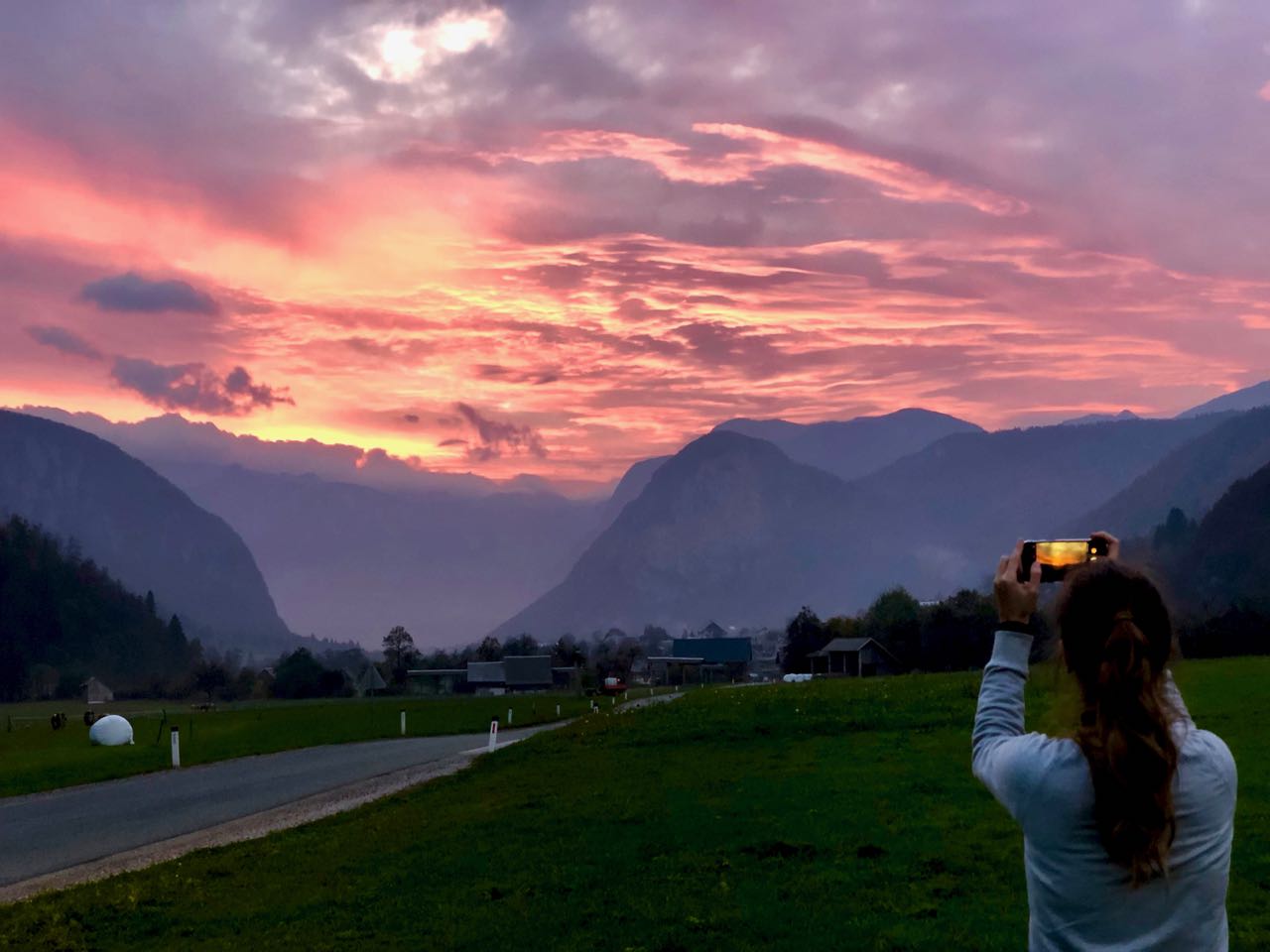
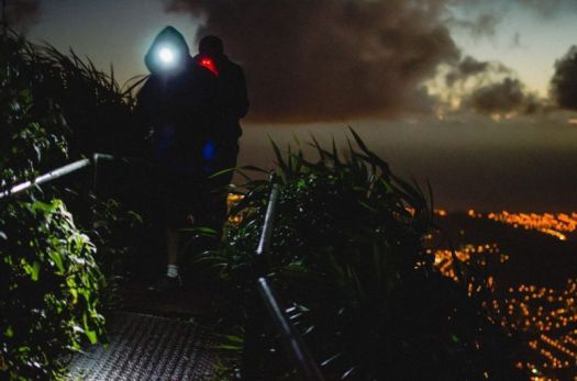
We caught a terrific sunset after finishing our hike.
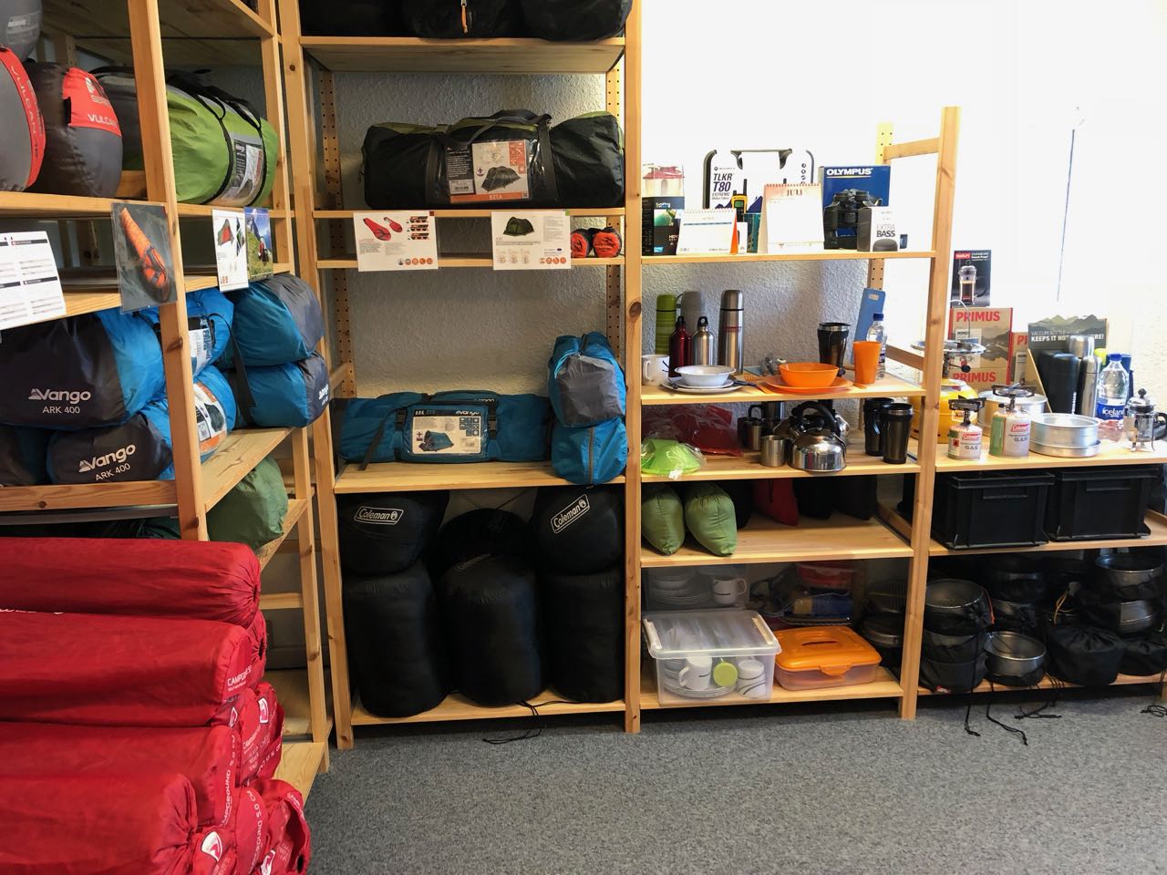
I bought my fuel at Iceland Camping Equipment in Reykjavík. It’s VERY expensive.
Later I learned that every hostel and campsite has plenty of free fuel canisters left behind by foreign hikers who will soon fly out.
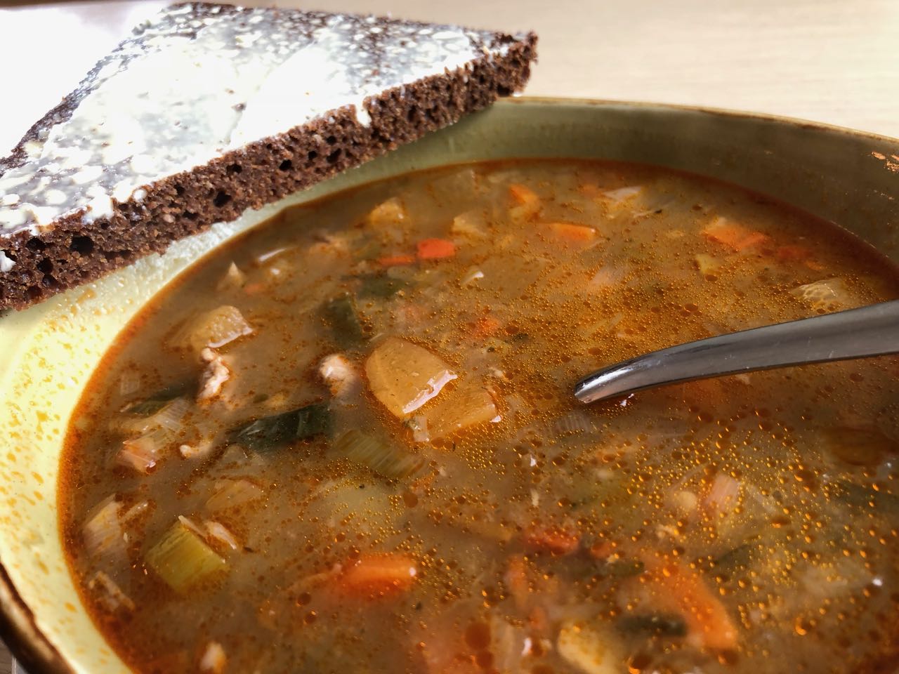
I enjoyed my last restaurant meal – traditional Icelandic meat soup.
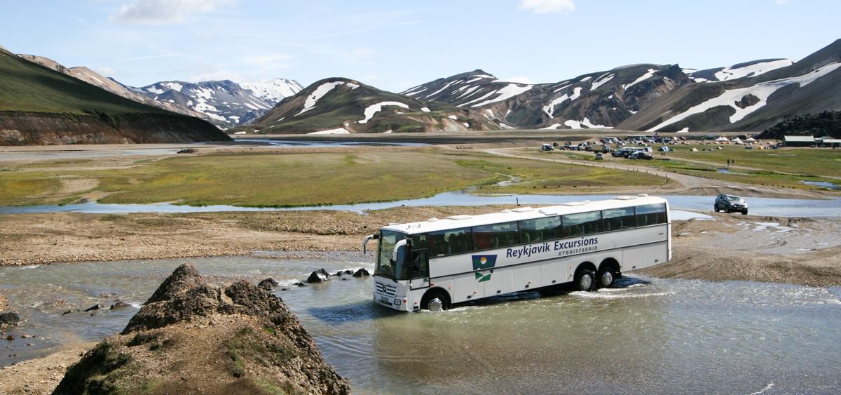
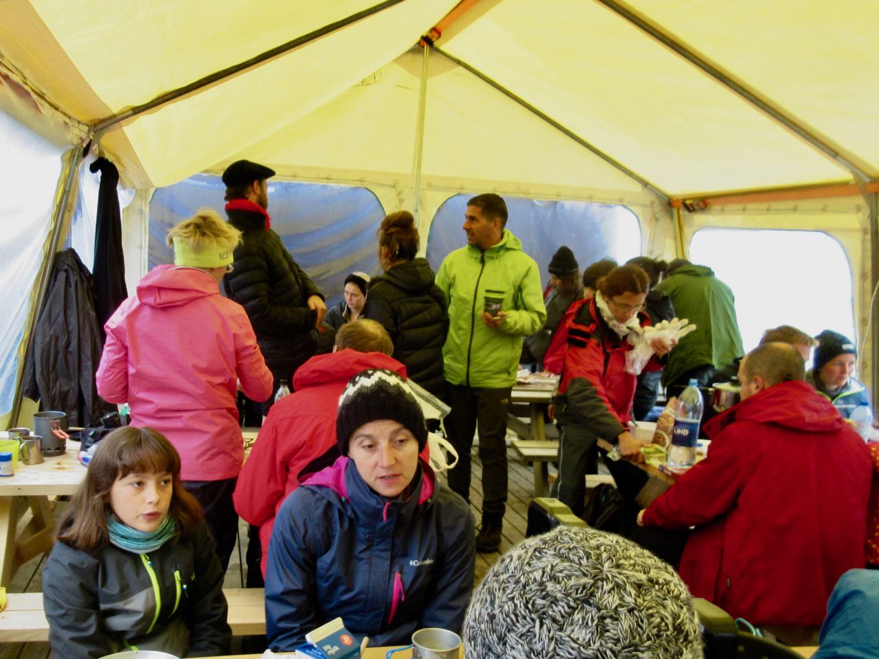
There are a number of ways to get to Landmannalaugar. Reykavik Expeditions and TREX are the two biggest bus services.
I went early to catch the 4pm bus. … Last bus leaves at 1pm. Never believe anything you read on the internet.
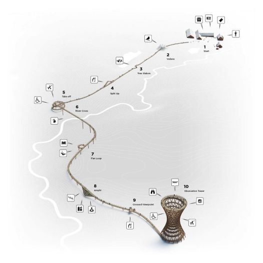
click for bigger map
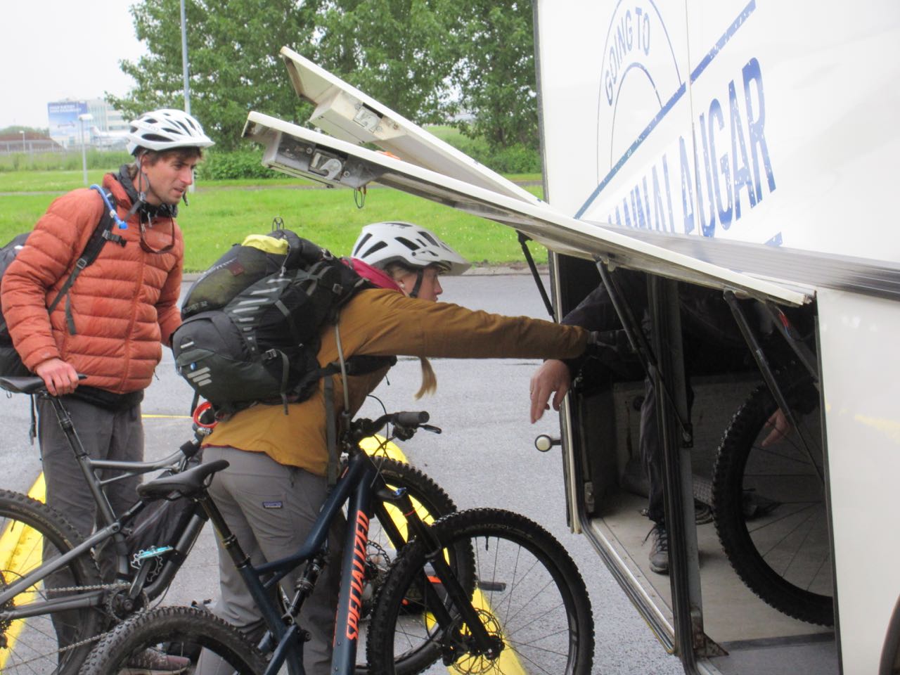
Next morning I was surprised to see young people from Alaska loading bikes. I’d not heard of people cycling Laugevagur. Turns out it’s a bad idea.
Reykjavík to Landmannalaugar is about 4 hours … if you don’t get stuck.
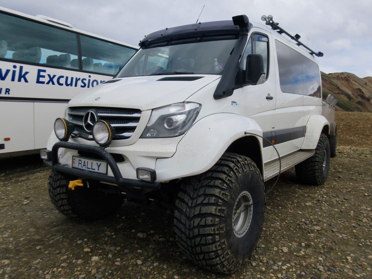
It would be FUN to drive your own rental monster truck.
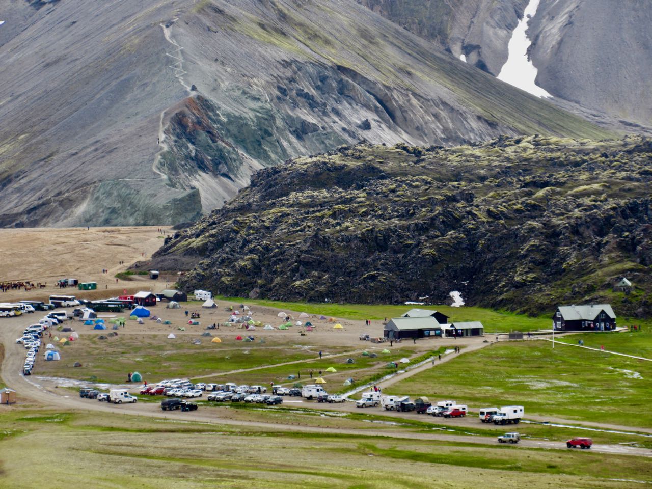
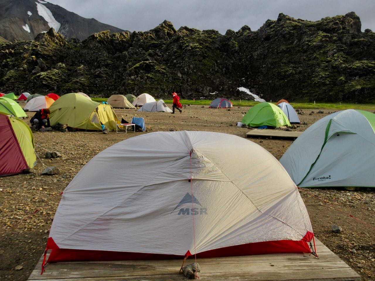
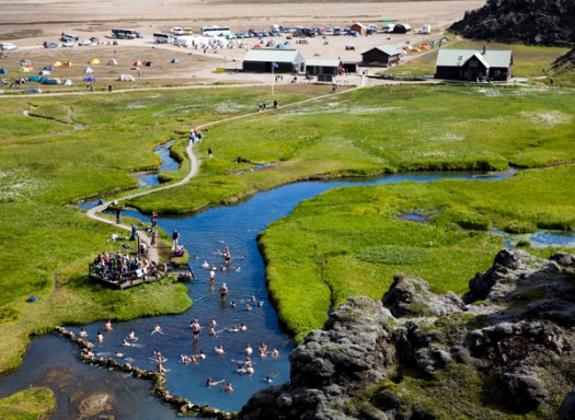
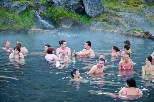
Landmannalaugar is a sprawling mess of a campsite.
While the rest of the world was suffering a heat wave, Iceland has had the worst summer weather in recorded history (100 years).
Forecast was not good. We worried whether or not we’d be able to attempt the hike.
I put my Hubba up on a platform in case of flood during the night.
At the information office you can buy a crappy day hiking map for about $3.
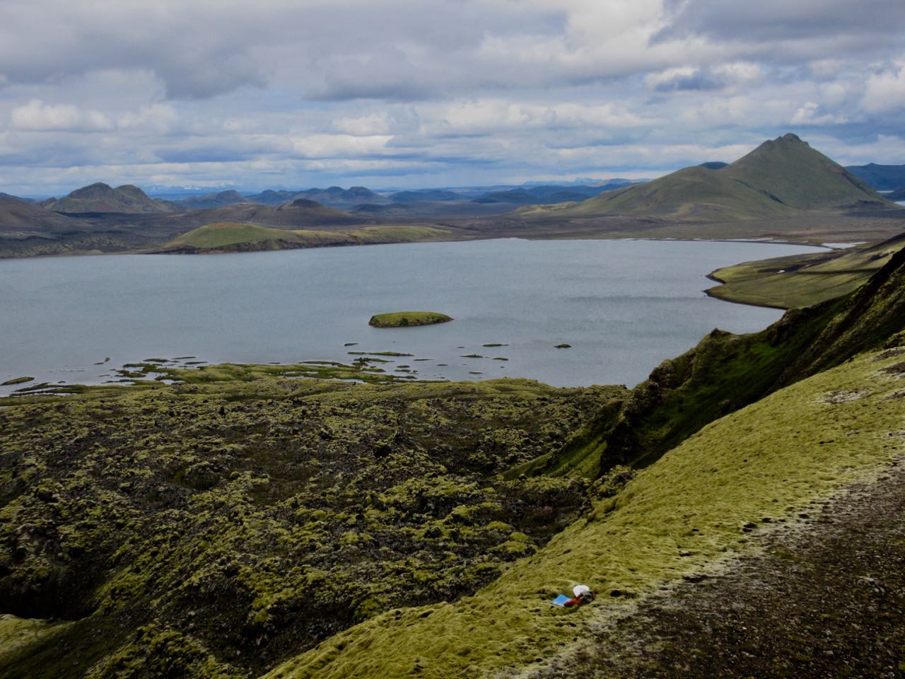
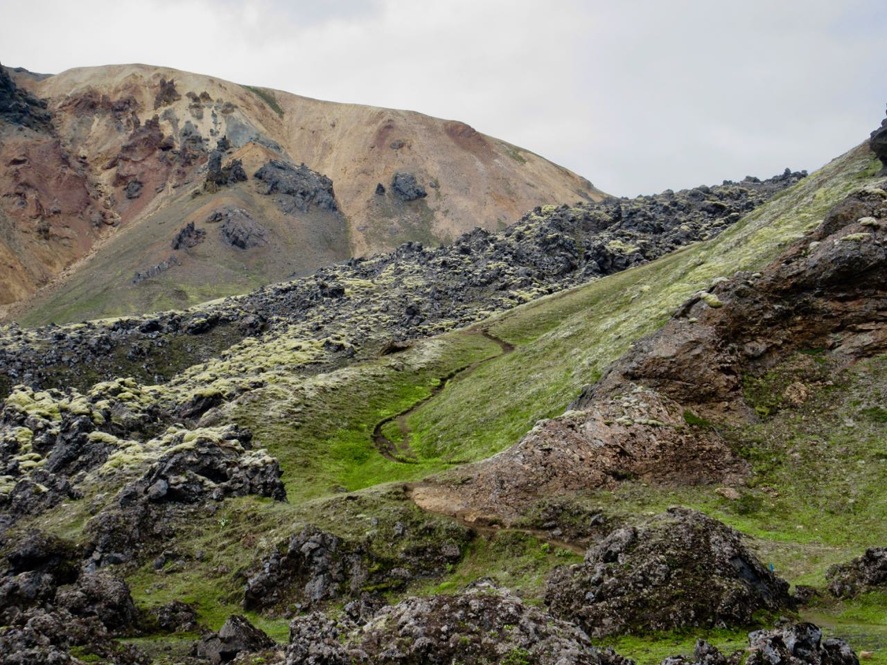
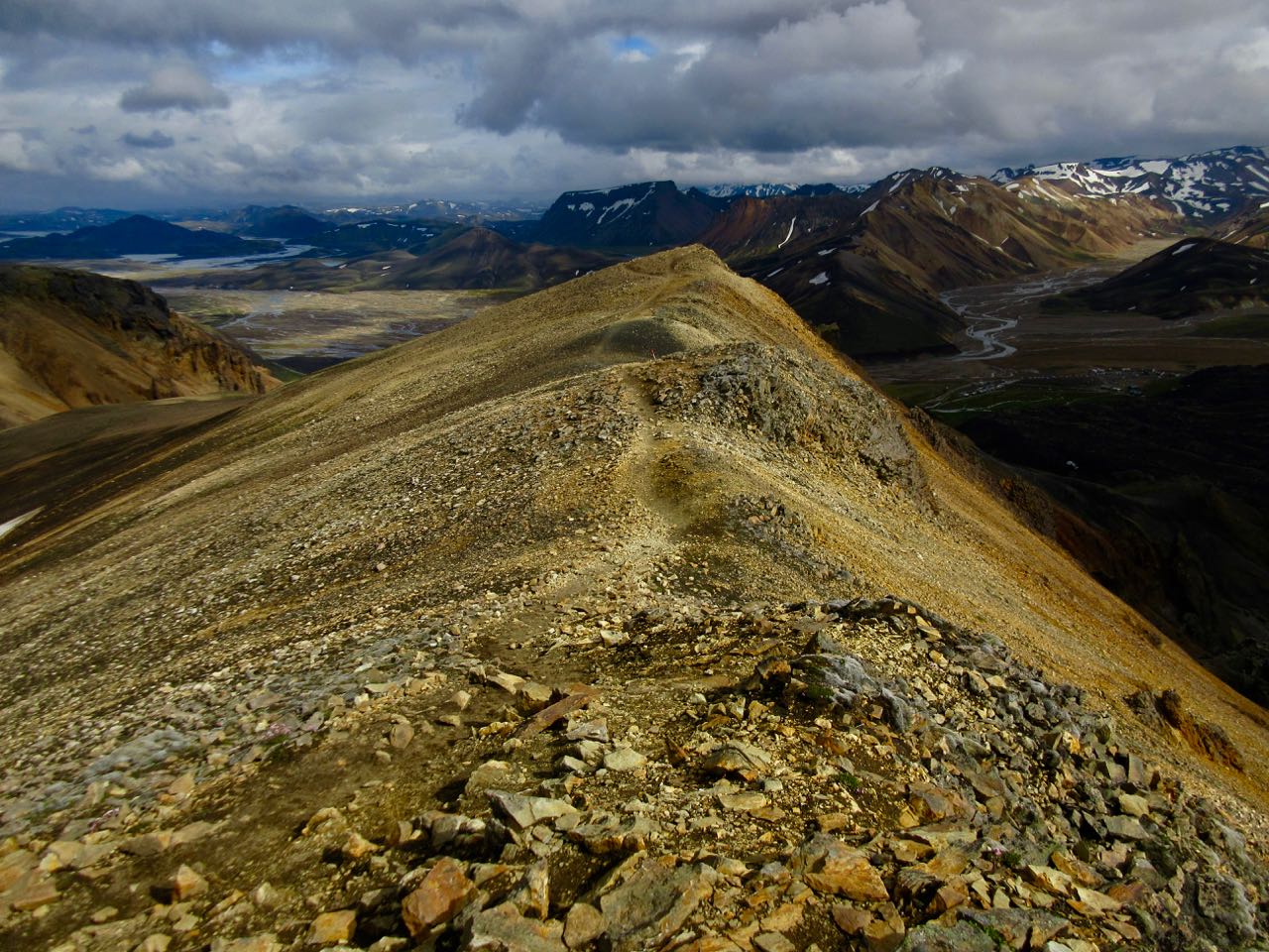
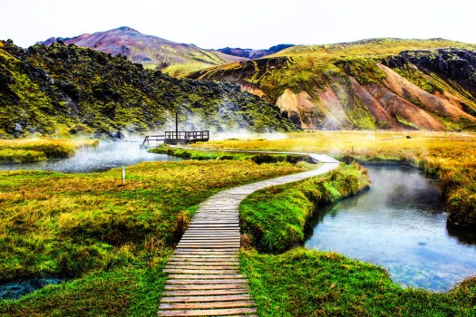
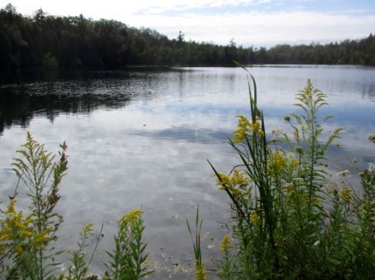
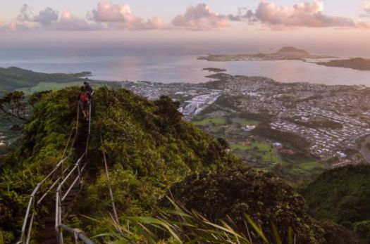
Most recommended is the Suournamur loop (about 9km). I first took a detour up the Ljiotipollur ‘Ugly Puddle’ trail and found myself this lookout for lunch. Ljiotipollur is an explosion crater lake.
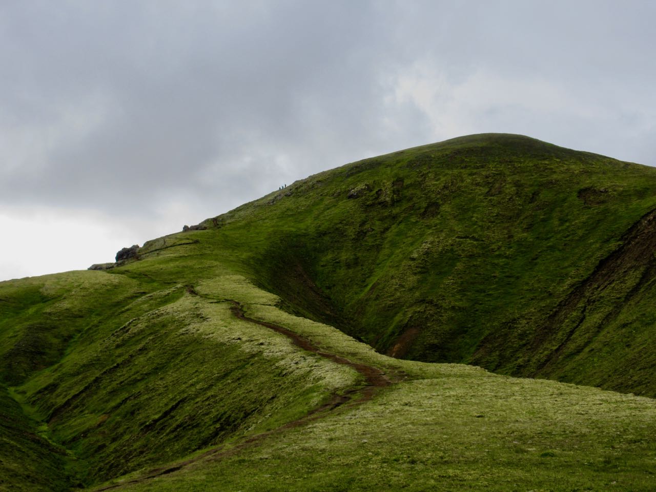
If you find any trail crowded in Iceland, you only need walk a few minutes on any side trail to feel like you have the island to yourself.
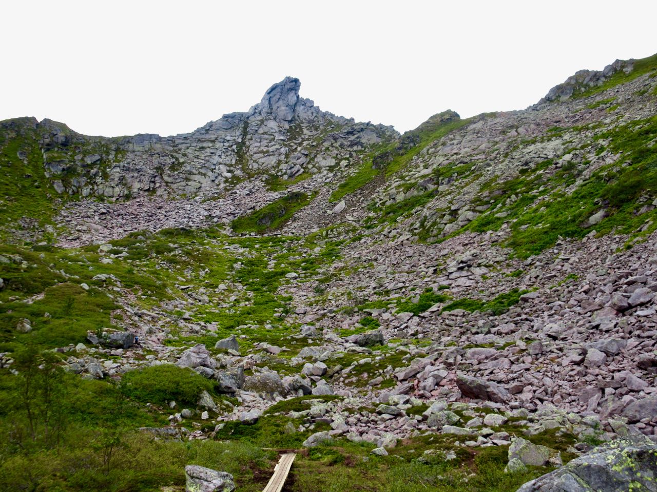
Suournamurtrail is gorgeous. It climbs up above the campsite.
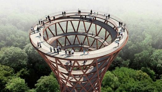
The centerpiece of the construction is set to be a winding observation tower, topping out at about 150 feet (45 metres). The hourglass-like construction should rise in a luscious preserved forest an hour south of Copenhagen, in Glisselfeld Kloster, Haslev. It consists of a 2000 ft. (600m) internal ramp, which will take visitors from the forest floor, through the treetops culminating with a 360° view of the hilly landscape, characteristic for the region. …
This is the last of my hikes on The Bruce for 2017. I’m planning to return in 2018 to hike the Bruce Trail Peninsula section, a maximum of 8-9 days averaging 16-20 km per day.
A trail runner friend had recommended the Halton Region area close to Toronto.
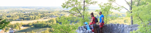
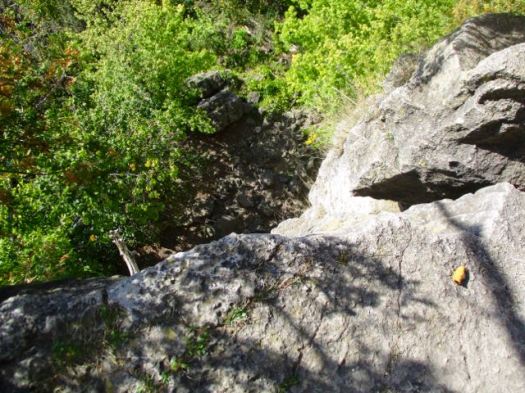
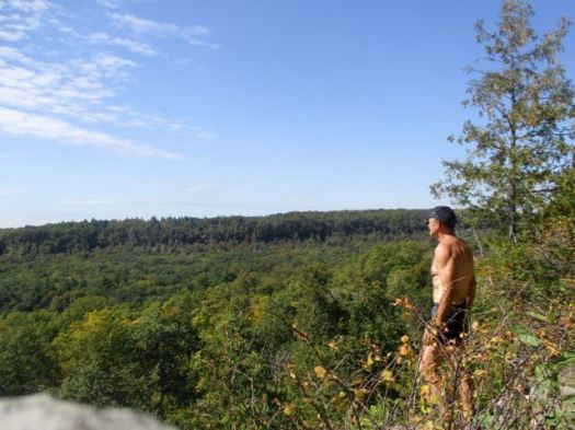
I parked at Rattlesnake Point, one of best and most popular destinations on the Bruce.
People come on a nice day to enjoy views from atop the Niagara Escarpment.
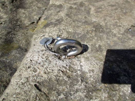
It’s popular with rock climbers though I saw none the day I was there.
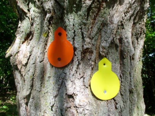
The trails are well signed. Some would argue there are too many signs.
Still … this sign maker managed to bungle Buffalo Crag.
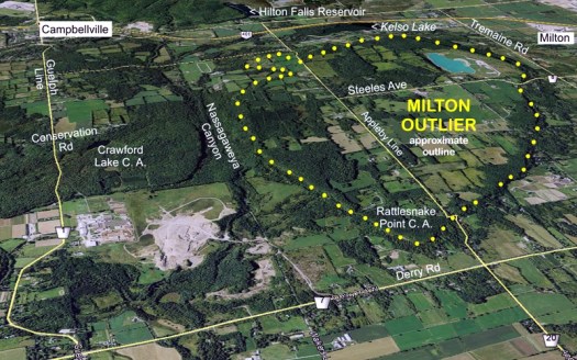
Rattlesnake is on the Milton Outlier, a section of the Niagara Escarpment that has eroded away from the rest.
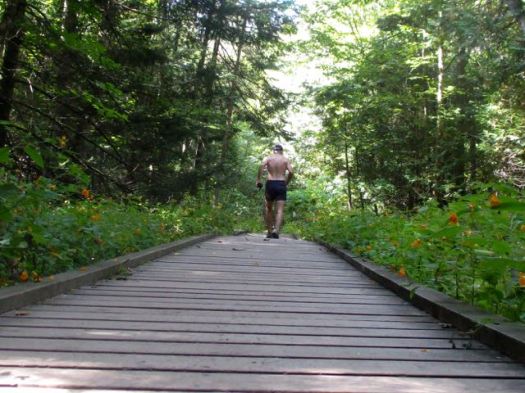
I took the Nassagaweya Canyon trail down and then back up to the Escarpment on the other side. I did this hike as a trail run. Boardwalk in the canyon much appreciated.