
Trip report by BestHike editor Rick McCharles
Hiking Shark trailhead to Magog campground
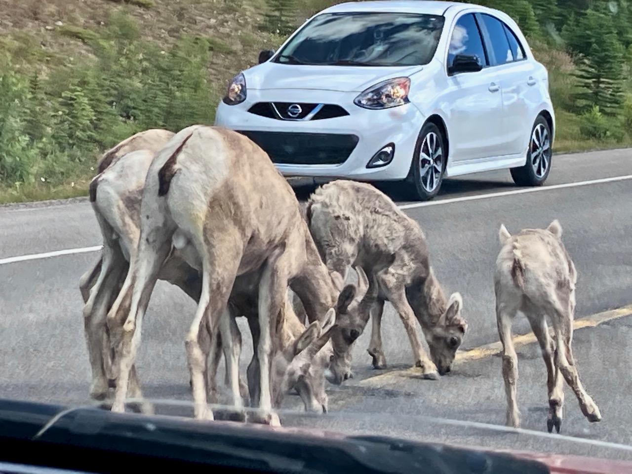
Mountain sheep, not mountain goats. Let’s get that straight.
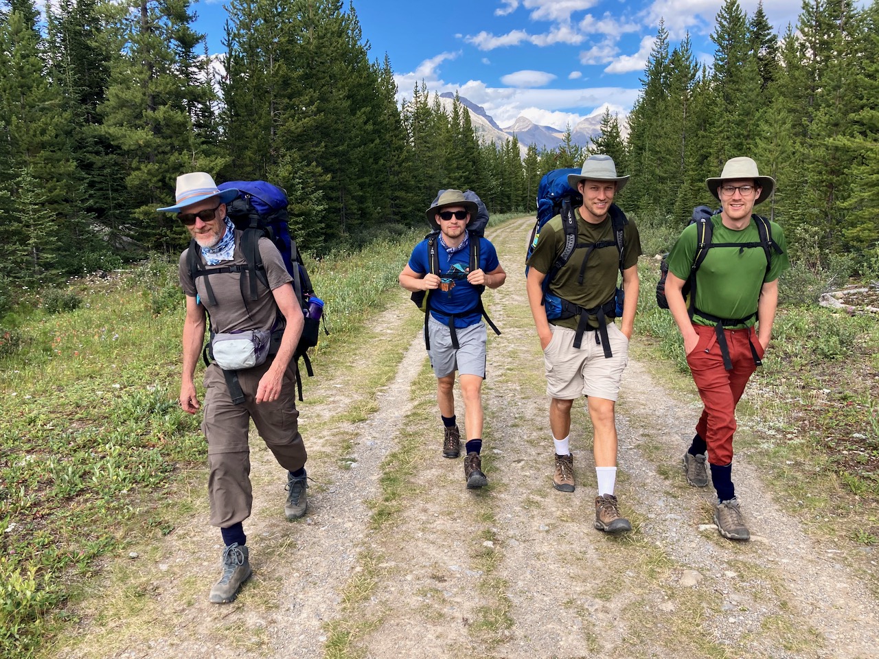
It was almost 5pm by the time we walked away from Mt. Shark trailhead on the Bryant Creek Trail.
We would have come in from Sunshine — but both the bus and Gondola were closed in 2020 due to COVID-19.
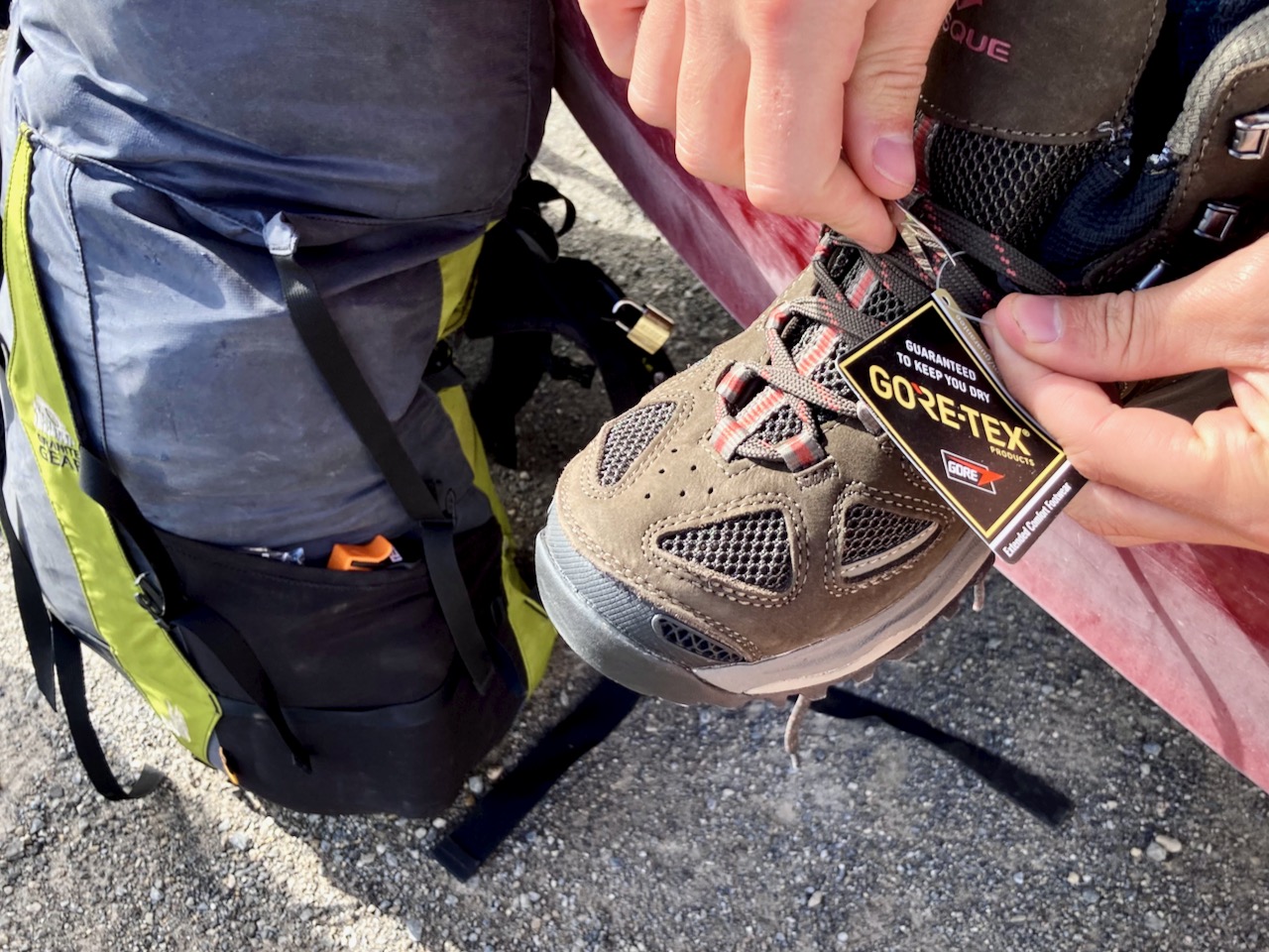
Jack was wearing brand new shoes. Surprisingly, they worked well for him over 5 days.
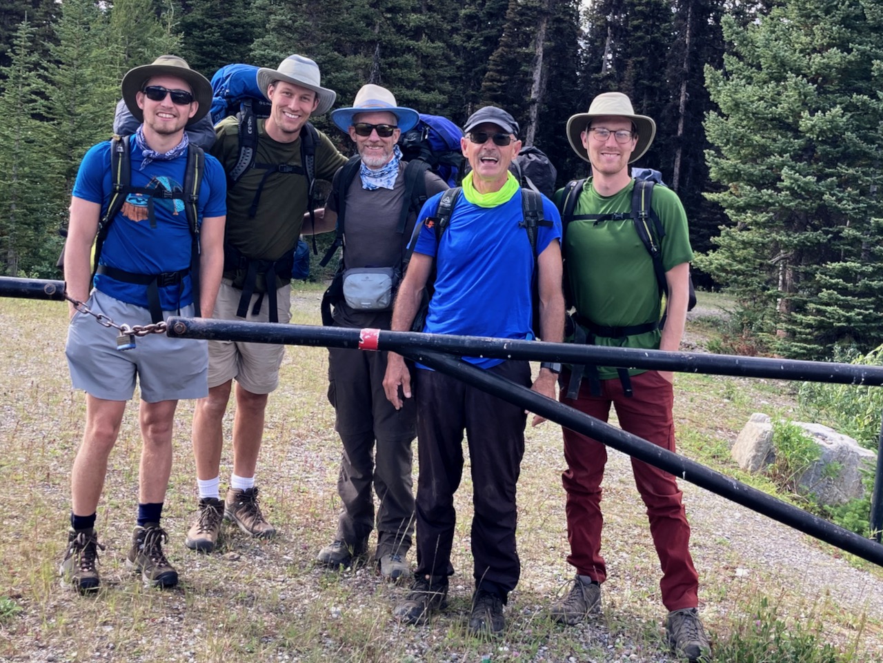
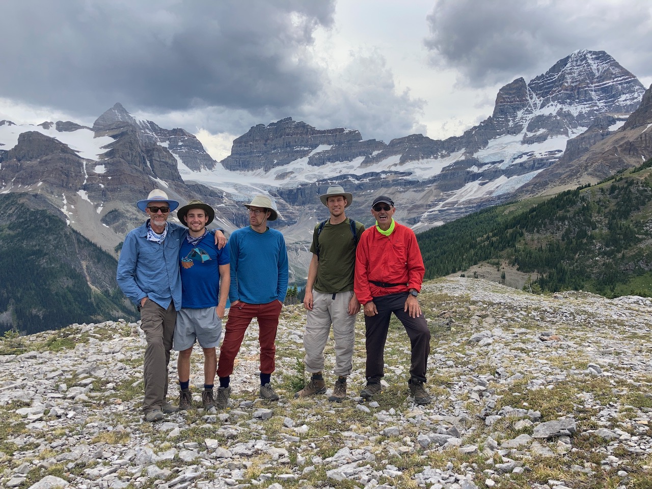
I was happy to join up with Brian Mason and sons for one of his favourite hikes.
I’d thought the trail to McBride campground (BR 14) was 9.8km flat. It’s closer to 13km with some ups and downs.
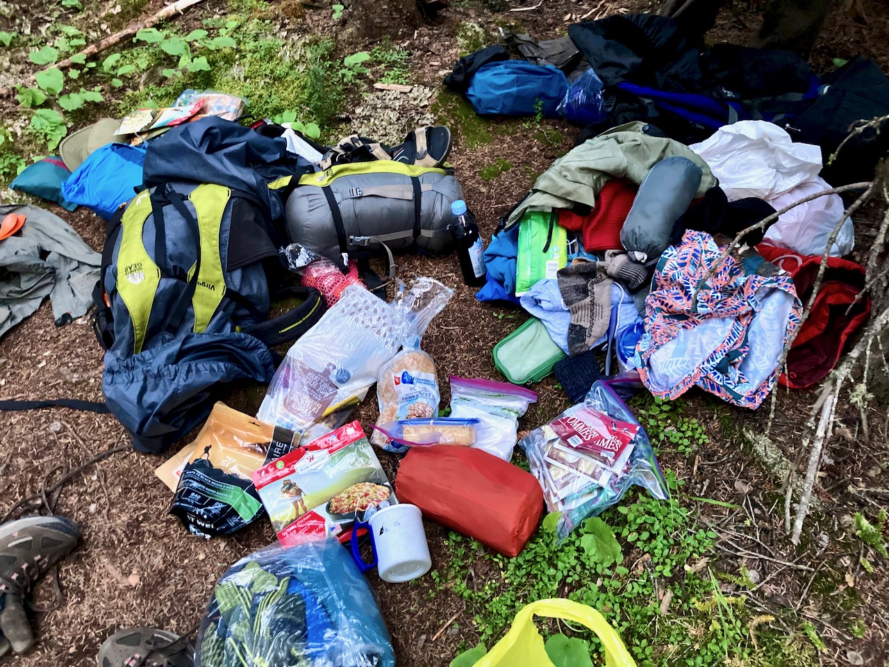
The Masons had most everything they needed, but it wasn’t really “packed”. 😀
Turns out McBride is a lousy camp: no water, few level sites, distant cooking area.
Masons didn’t finish dinner until well after dark.
NIGHT
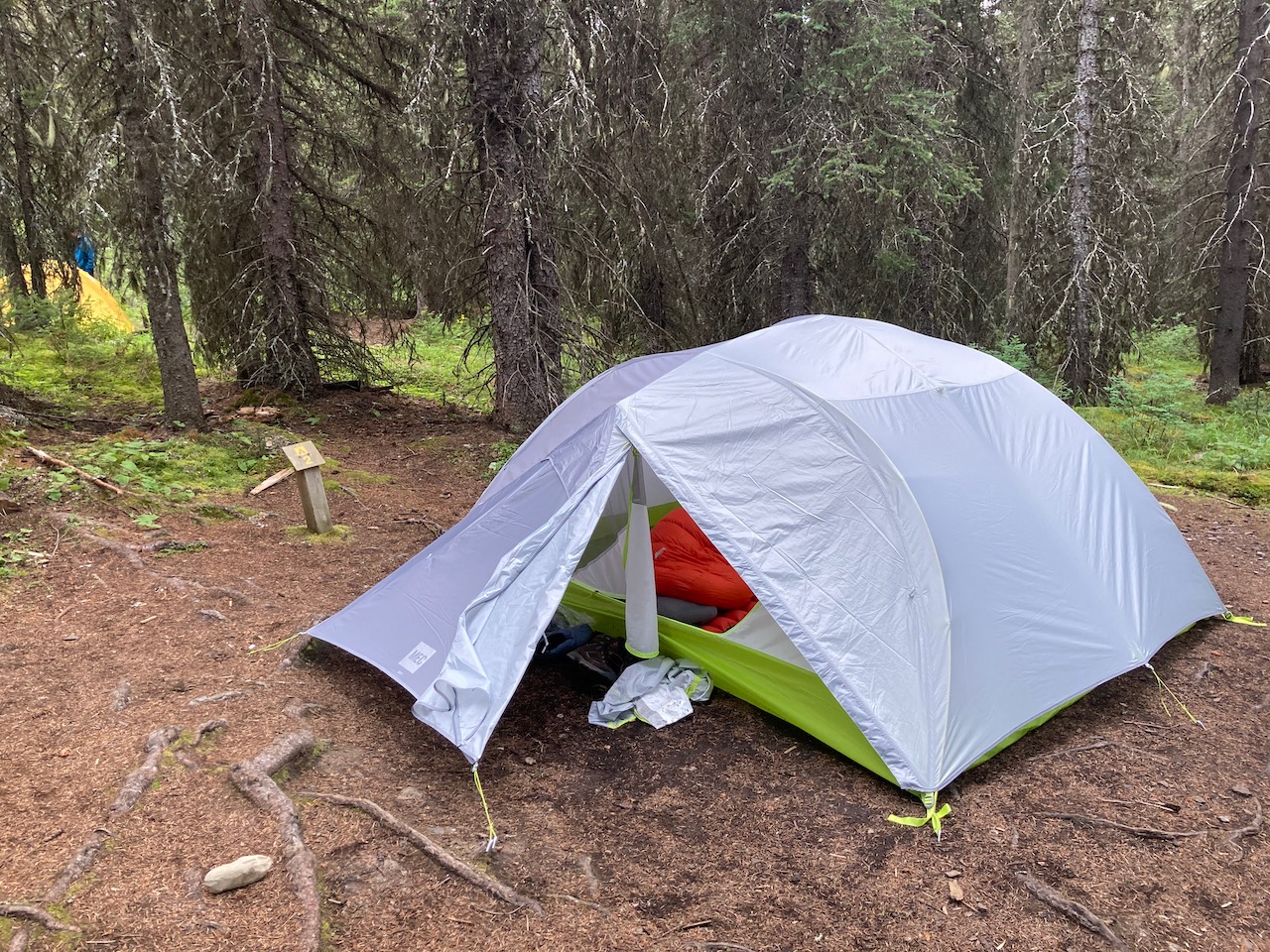
No fly for me. I only use it if I must.

Masons were happy with their new 4 person MEC tent, the first time they’d used it.
I wished we’d camped instead at Big Springs 9.6km. But Brian was actually happy we went all the way to McBride as it shortened the climbing day up to Assiniboine.
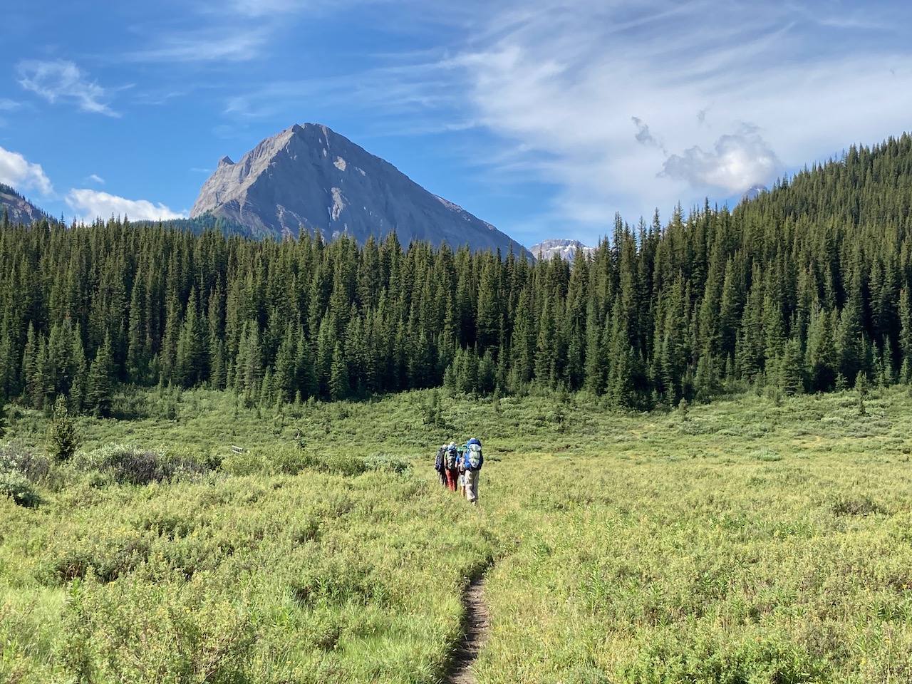
At the Ranger cabin we turned uphill towards Marvel Lake. (The alternative trail is the easier, but less scenic, Assiniboine Pass.)


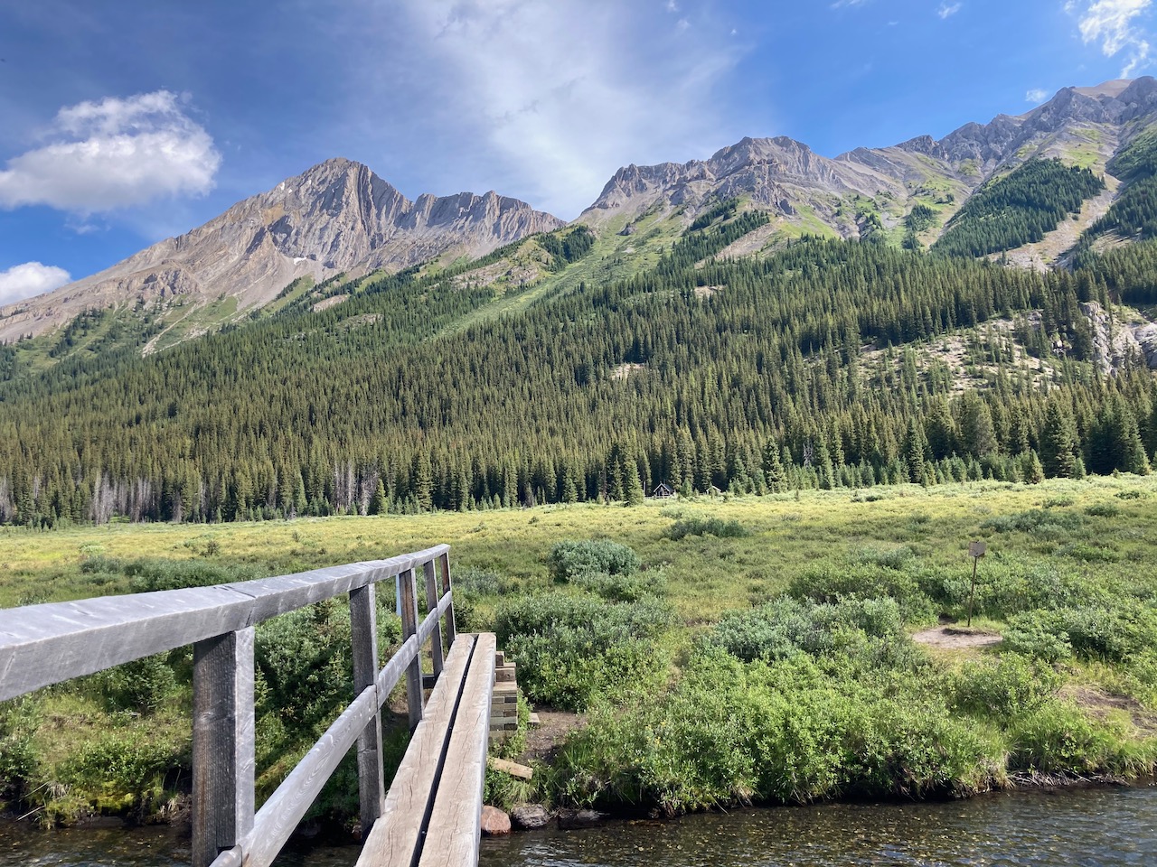
The river is the water supply for McBride. While at that camp, I saw two closer potential sources that were NOT running.
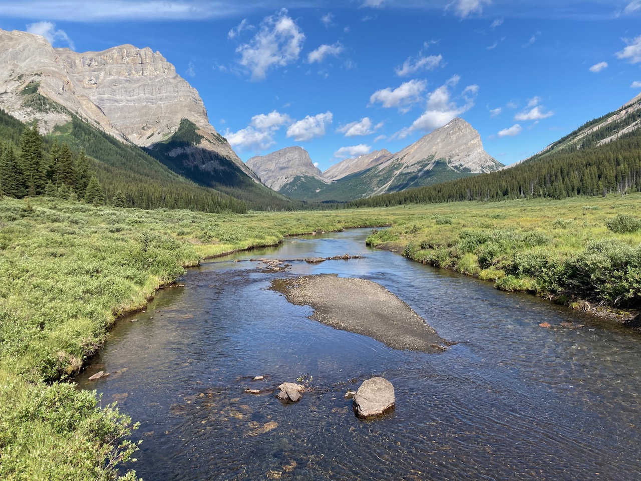
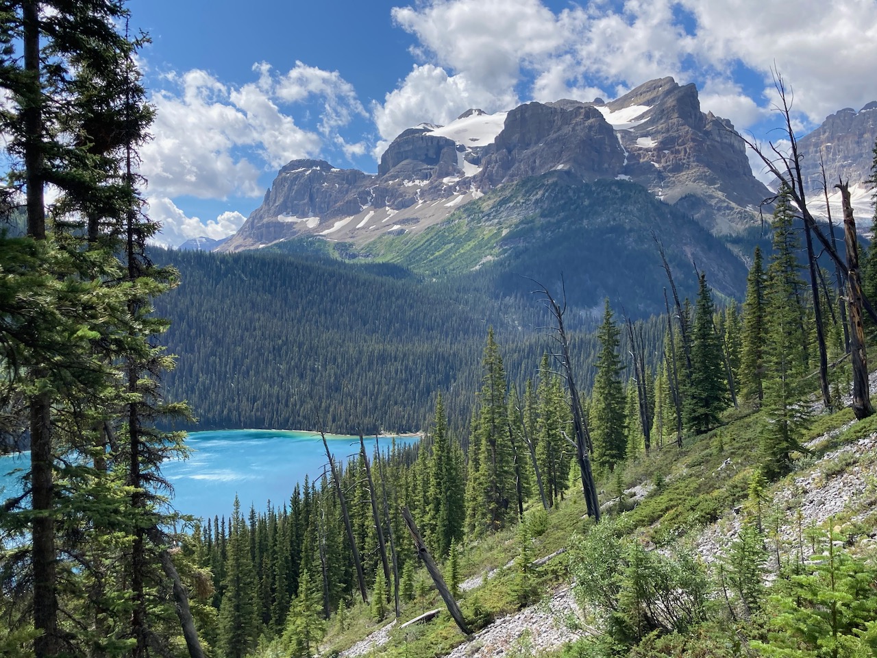
I do love alpine meadows.
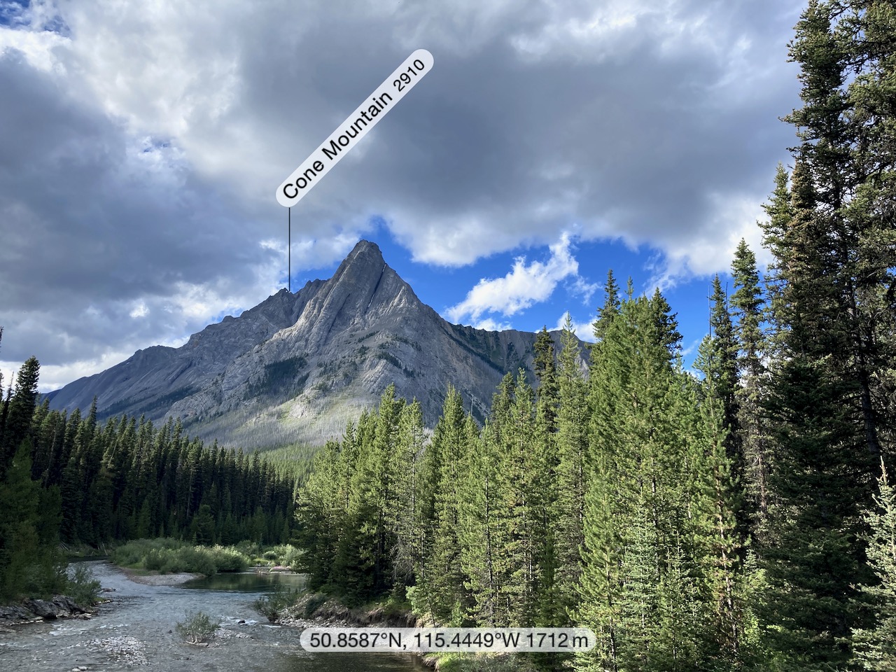
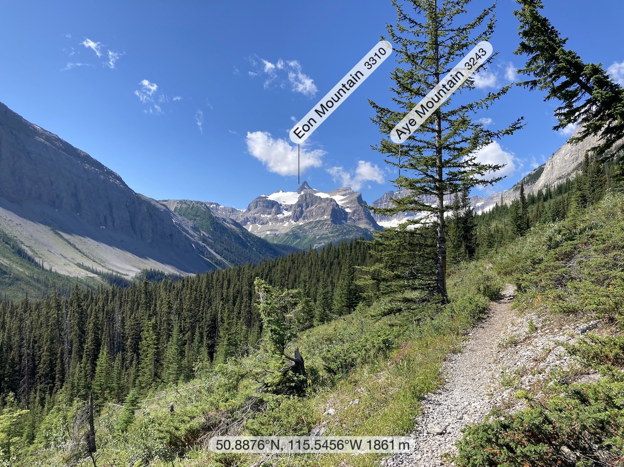
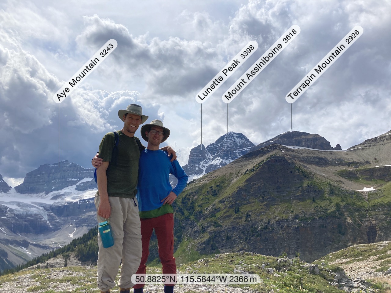
My free Peakfinder app was useful in identifying mountains. You need to download the data in advance before going offline.
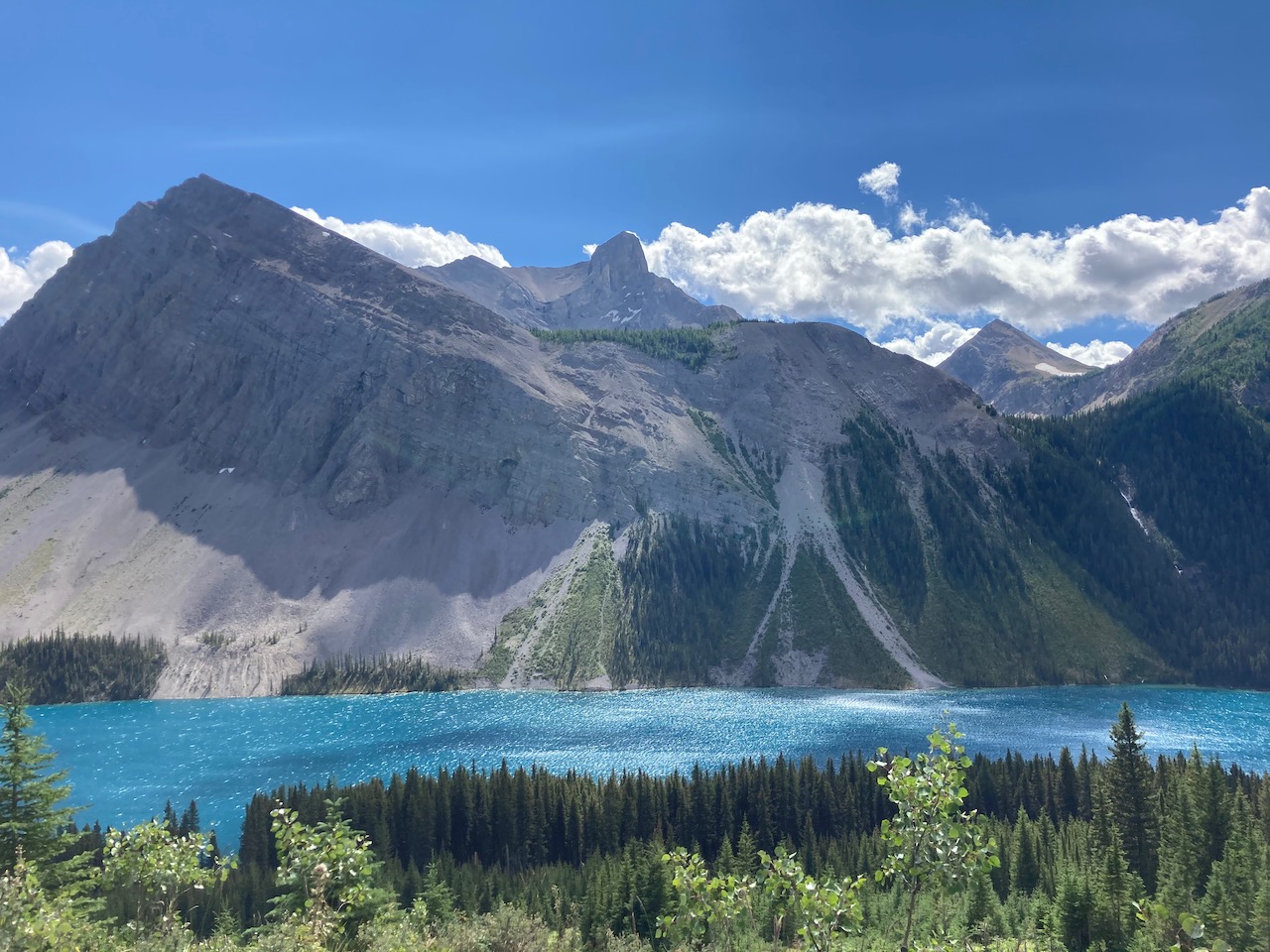
Gorgeous Marvel Lake.
Fantastic.
It’s a steep climb up to Assiniboine on switchbacks, but the views keep you going.
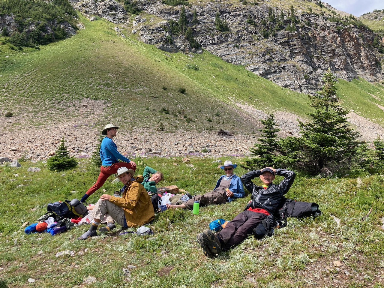
We stopped for lunch at the top.
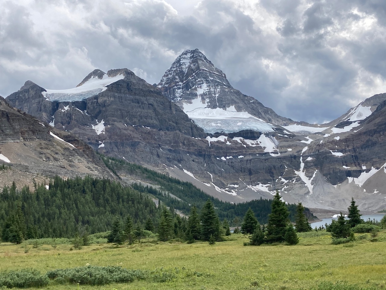
What a vista !

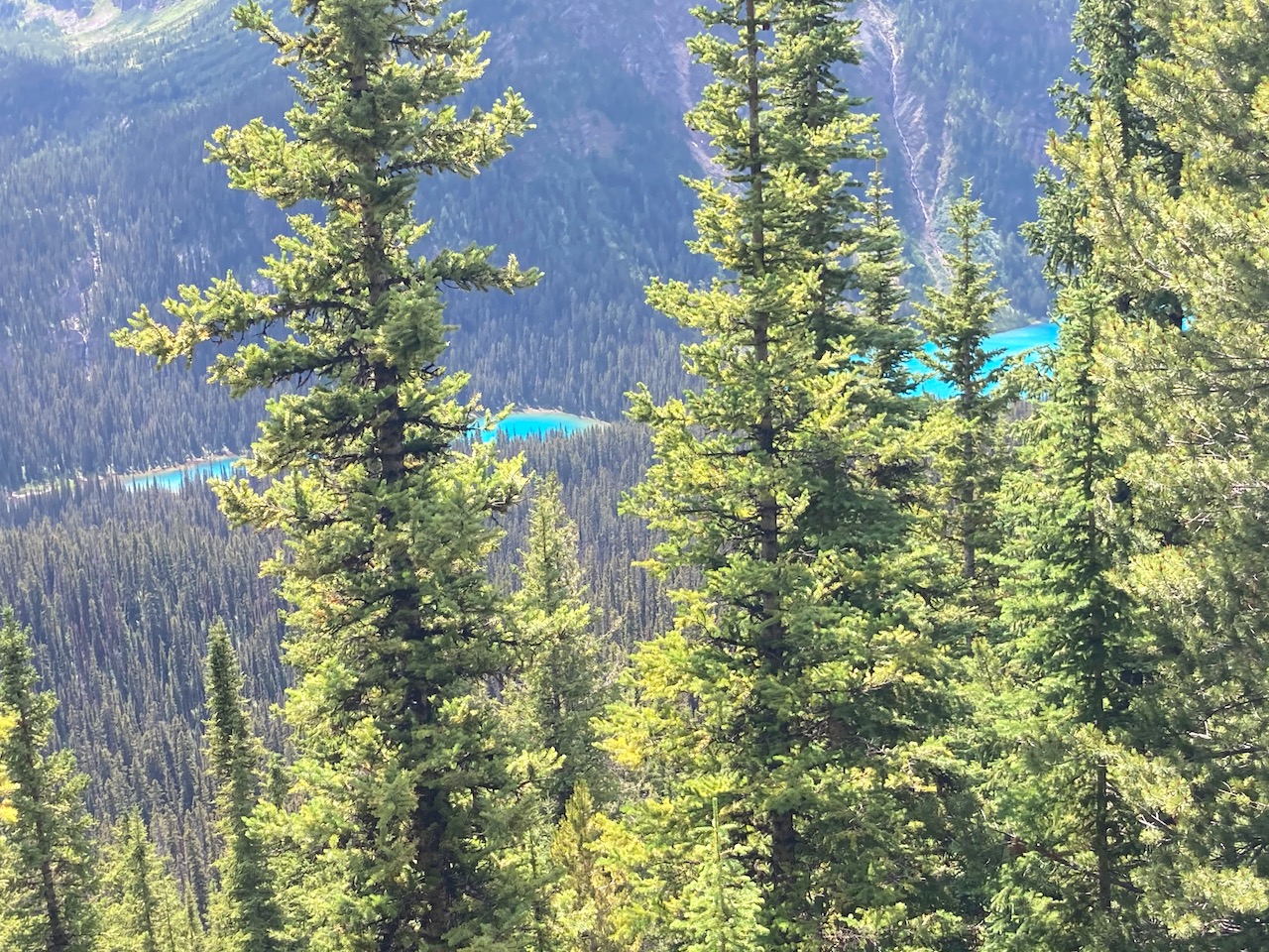
From there we scrambled up to a higher viewpoint, leaving our big packs below.
Eventually we strolled into Magog campground with fantastic views of the Matterhorn of the Rockies.
We’d walked about 28 km (17.6 miles) from Shark. Plus our side trip.
Click PLAY or watch a short video on our hike on YouTube.
