I’ve hiked it at least 100 times — though it’s been rerouted in recent years.
Only 4km one way to an impressive pedestrian-cyclist suspension bridge from my favourite beach on Vancouver Island, Rathtrevor.
Normally I don’t start from Rarthrevor. I skip the road walking and begin at the “I” information sign. That’s the trailhead parking lot: 175 Allsbrook Rd, Parksville.
Saysutshun (Newcastle Island Marine) Park is a family friendly adventure, accessible only by foot passenger ferry or your own boat from Nanaimo, British Columbia, Canada.
I put my bike on an intercity bus. Then rode the fantastic Nanaimo bike trails to get to the ferry.
It’s a quick, scenic trip over to Saysutshun.
Many simply kayak over to the island. It’s quite protected and safe.
I believe it’s obligatory 😀 to take a photo at the first totem pole.
There are a number of trails to explore on foot and (some) on bike. I did both.
Most day trippers spend about 2 hours walking the trails.
With frequent stops for photos.
Surprisingly, coal was mined here 1853 – 1882. Hence the name, Newcastle.
The rocky shelf is perfect for exploration.
Most fun for me was exploring some of the boat wrecks at low tide.
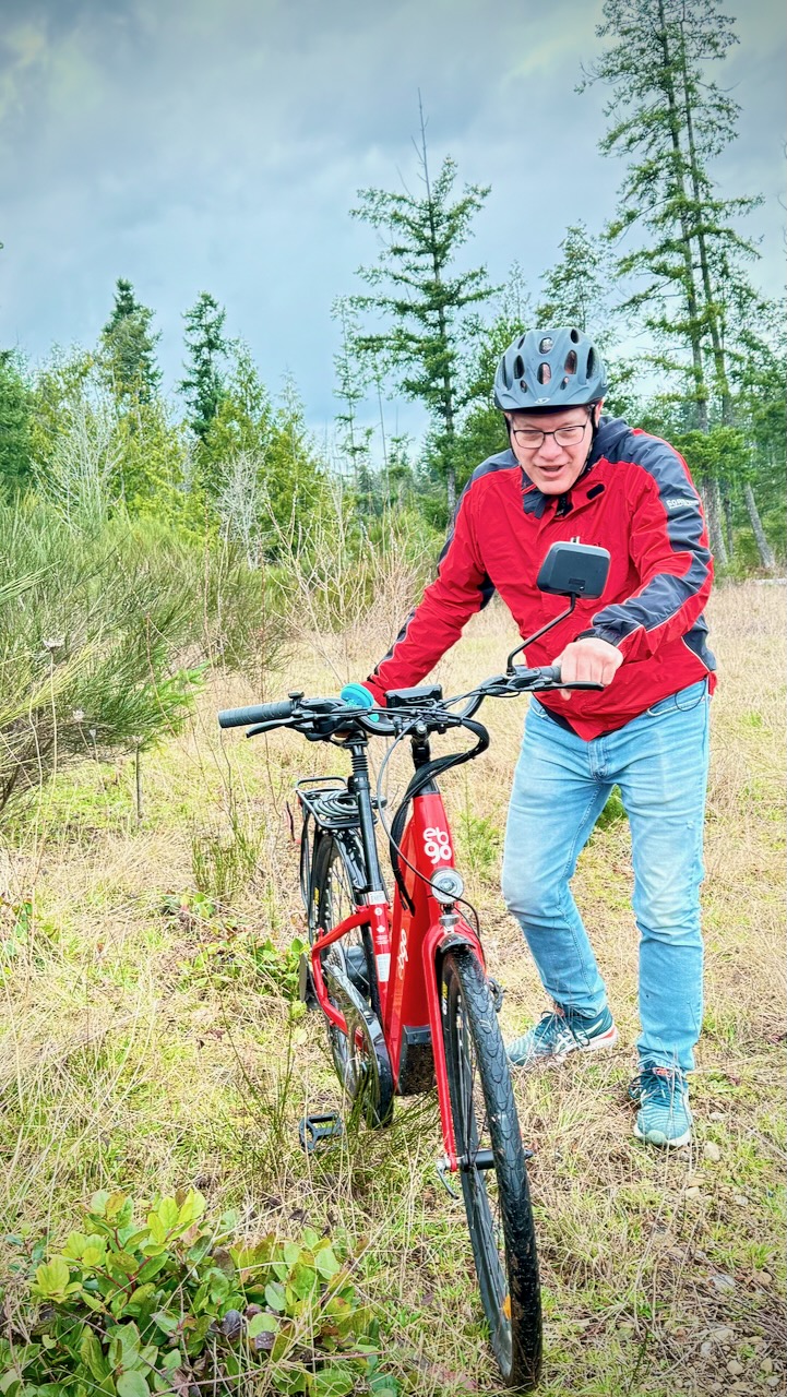
As you can see 😀, I pushed this one boat back into the ocean.
You are almost certain to see some of the Nanaimo ferries.
Sandstone quarrying began on Newcastle Island 1869. There is plenty of evidence of that stonework, even today.
Happily, you can still see some huge old growth trees.
I saw many deer. A few rabbits. None of the worrisome racoons.
For the first time at Saysutshun, I camped one night.
18 walk-in campsites are located in a quiet forested area a mere 5-minute walk from the docks.
Five group campsites are also available that can accommodate up to 50 guests.
Potable water is available along with flush and pit toilets, hot showers, and food lockers to protect your rations from local raccoons!
With no cars allowed on the island, the quiet is serene, with nothing but the sound of the ocean, birds and wind in the trees. And with no bears or cougars on the island, there is little worry of any alarming wildlife encounters.
Sites are available on a first-come first-served basis, but reservations are highly recommended.
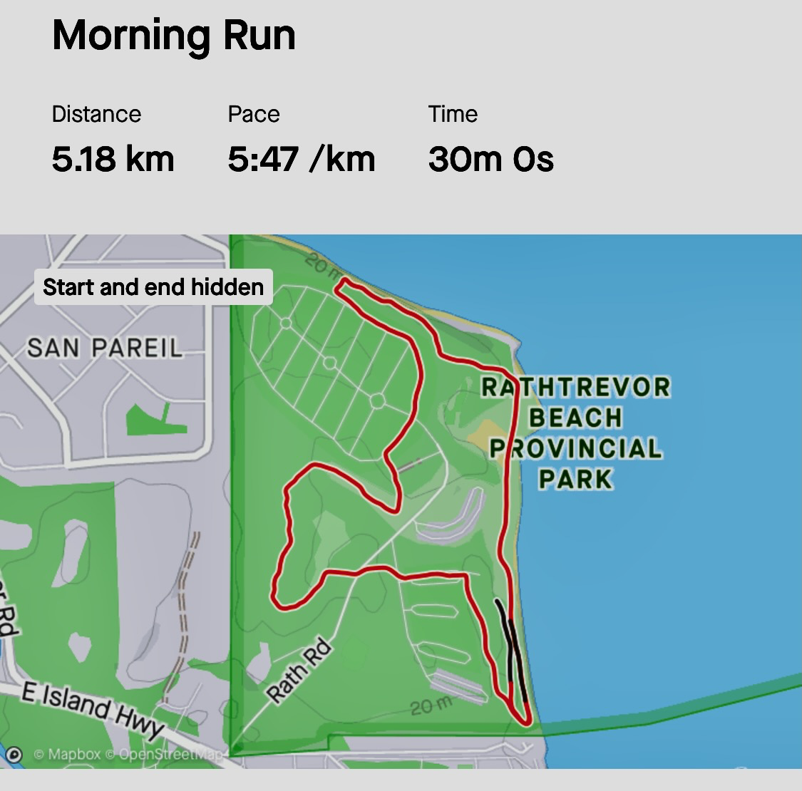
Part of my off-season conditioning for hiking is running about 30 minutes / day during the winter. Happily, I can do that easily on Vancouver Island as the climate is so mild. We don’t get much snow.
#FakeNews. 😀 … There is no lighthouse on this inland trail.
Lighthouse Country is a tourist designation for a coastal region just north of Qualicum Beach consisting of smaller communities: Dashwood, Qualicum Bay, Dunsmuir, Bowser, and Deep Bay.
It’s named for the offshore lighthouses on Sisters Island and Chrome Island.
Lighthouse Country Regional Trail is an easy — family friendly — 5.6-km loop that takes an average of 1 h 23 min to complete.
The trail was dry and in great shape, even in chilly December.
I did find the Nile Creek logging road less interesting than the portion closer to the ocean. You could walk north from the parking lot, then backtrack whenever you wish to enjoy the most scenic sections twice.
If you do the entire loop, feel free to call it the Lighthouse Loop.
There are other trails to explore aside from the loop, of course.
Though you don’t really need a map, I followed AllTrails.