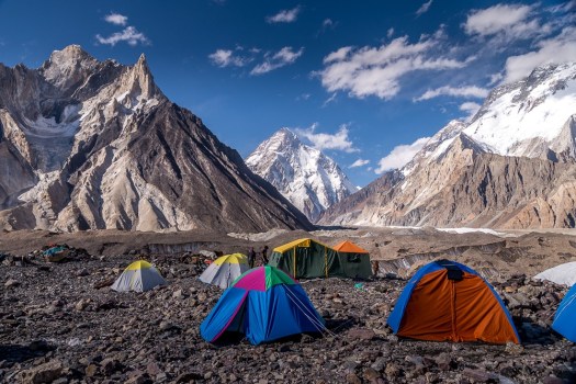
The U.S. State Department advises against travel due to terrorism.
On the other hand, I’m inspired by Eva zu Beck, a Polish travel vlogger, who spent many months there. She thinks it could be the next Nepal for trekkers.
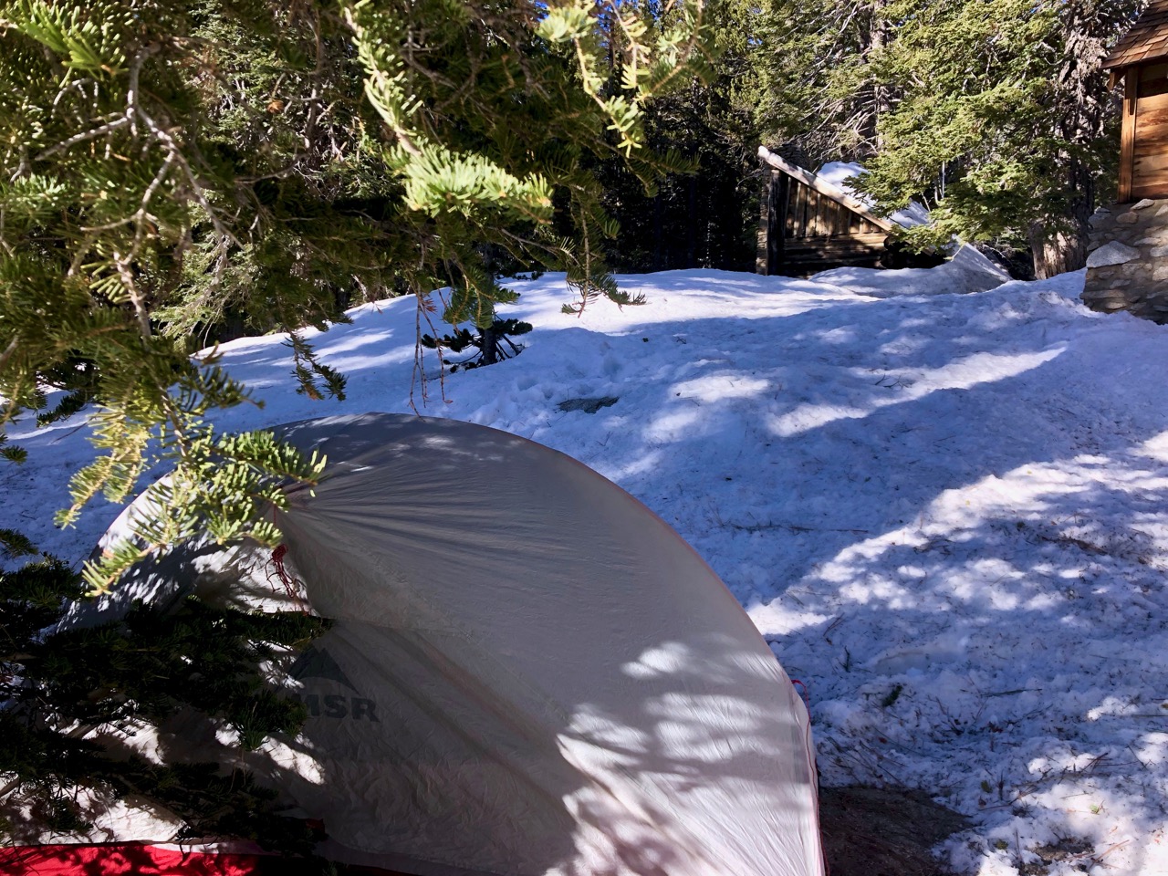
The weather was lovely in the morning. As it so often is in California.
Unbelievably I’d forgotten to bring coffee! 😞 So it was Earl Grey tea for breakfast.
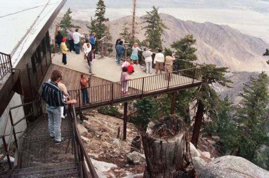
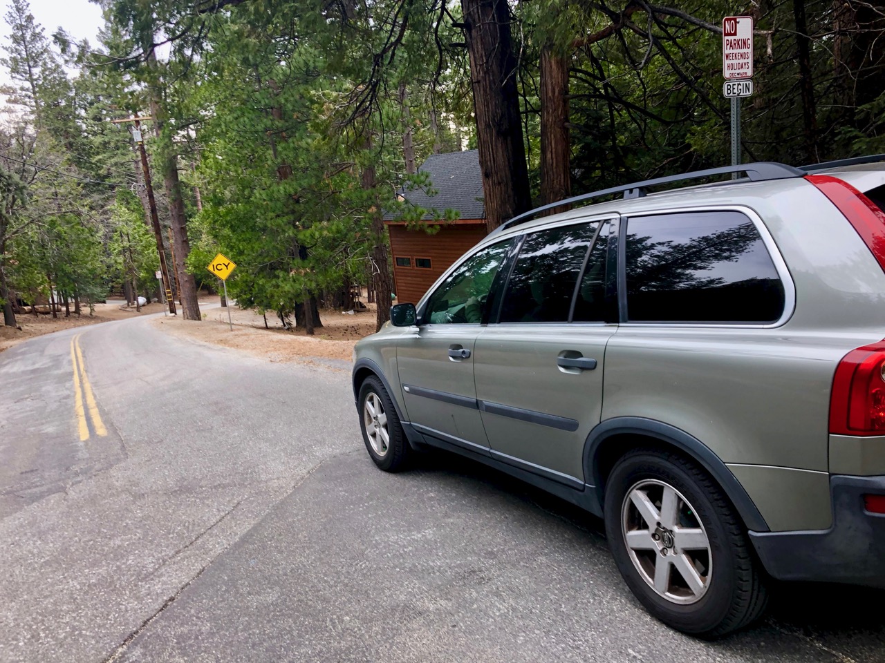
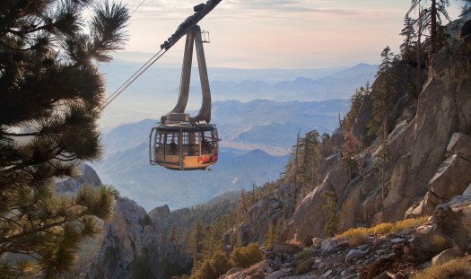
No worries. I was headed 2 miles back to the Mountain Station atop Palm Springs Aerial Tramway. They served coffee. Right? … It turned out to be the most expensive java I’d bought outside of Switzerland.
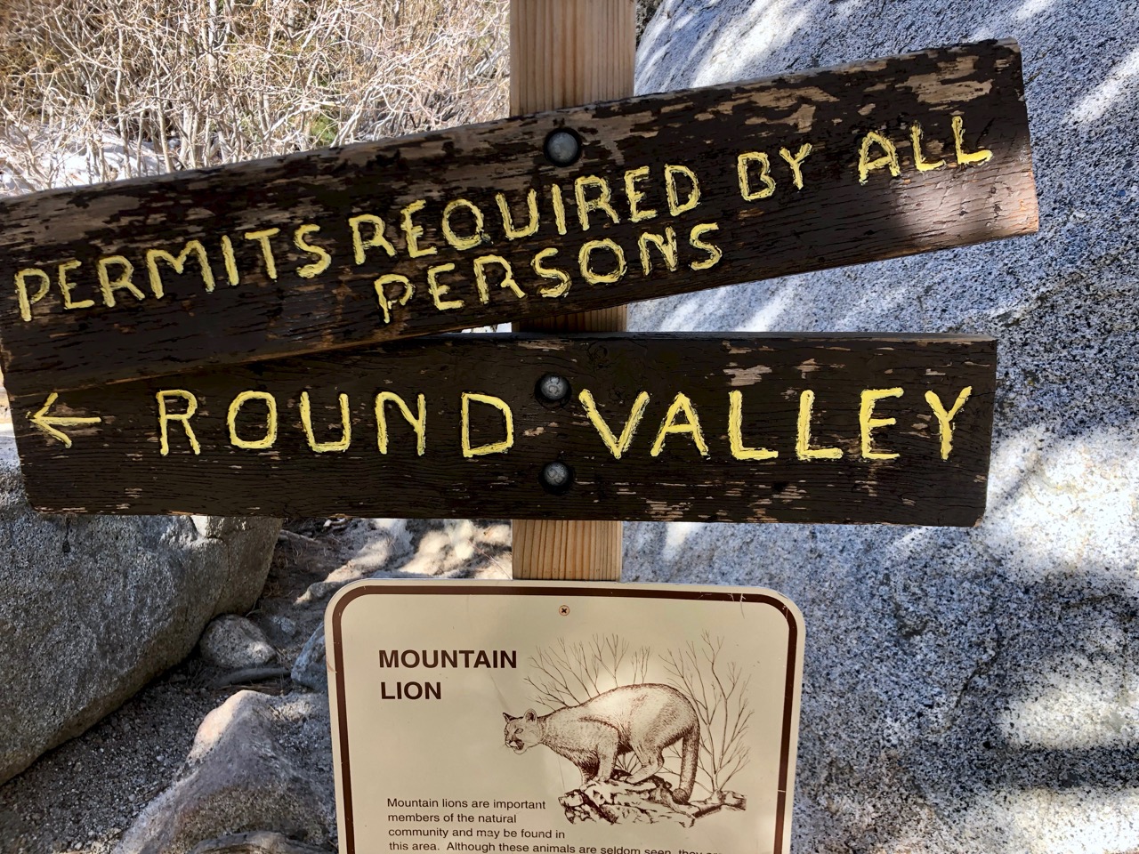
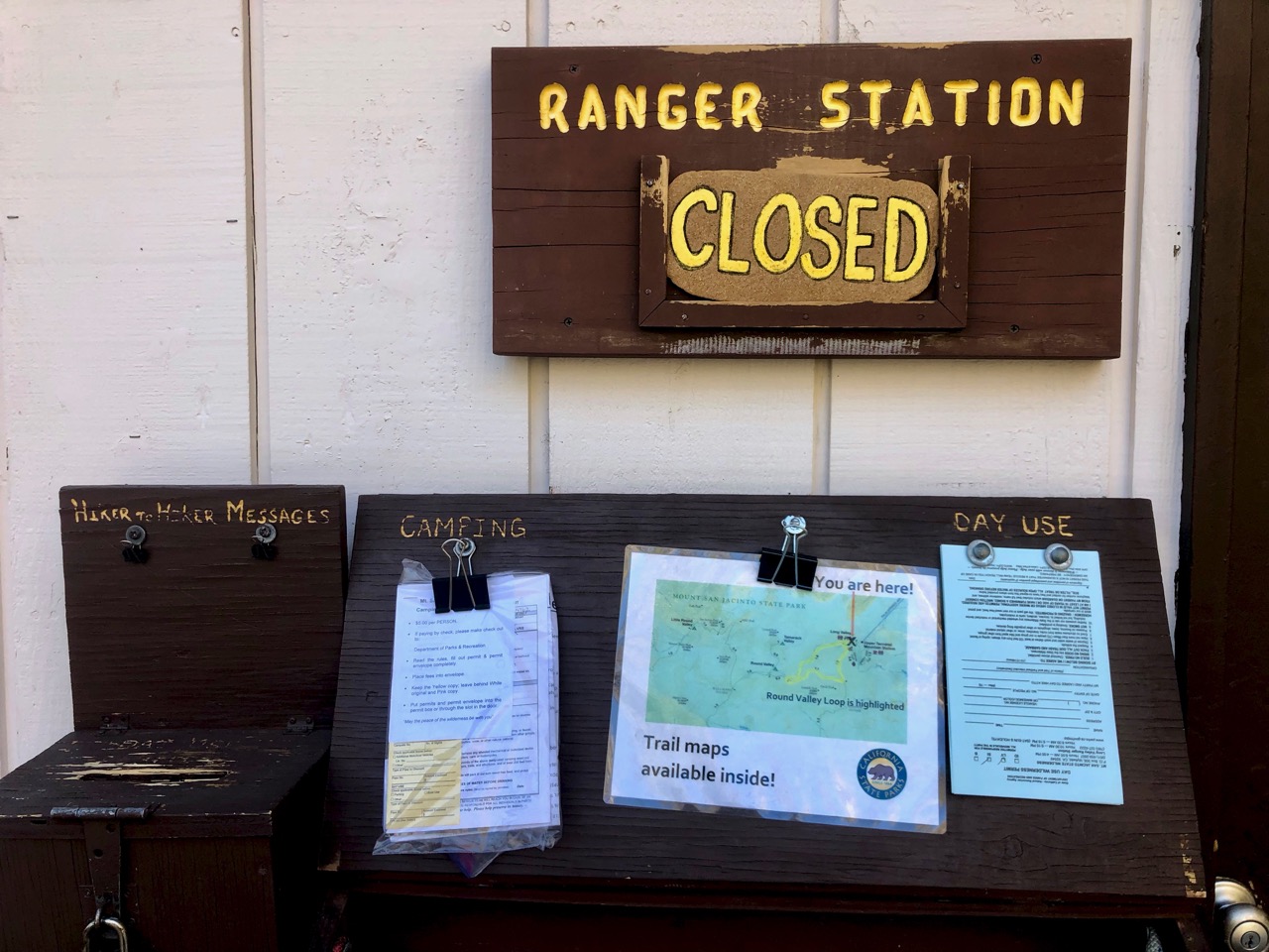
This morning the Ranger Station was open and I was happy to go register for my free trail permit.
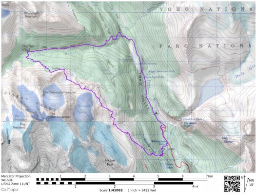
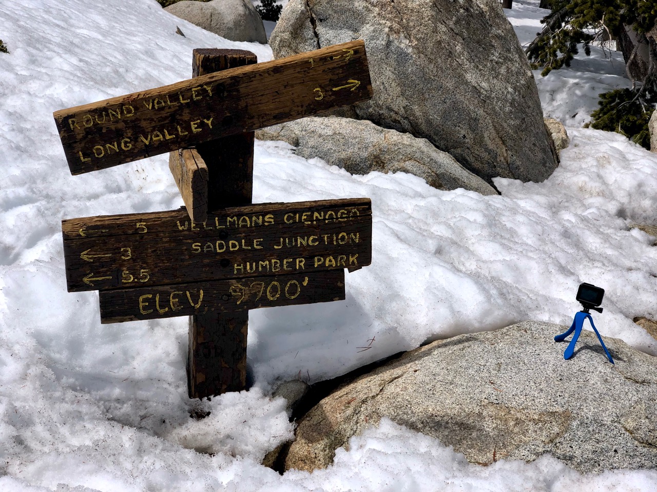
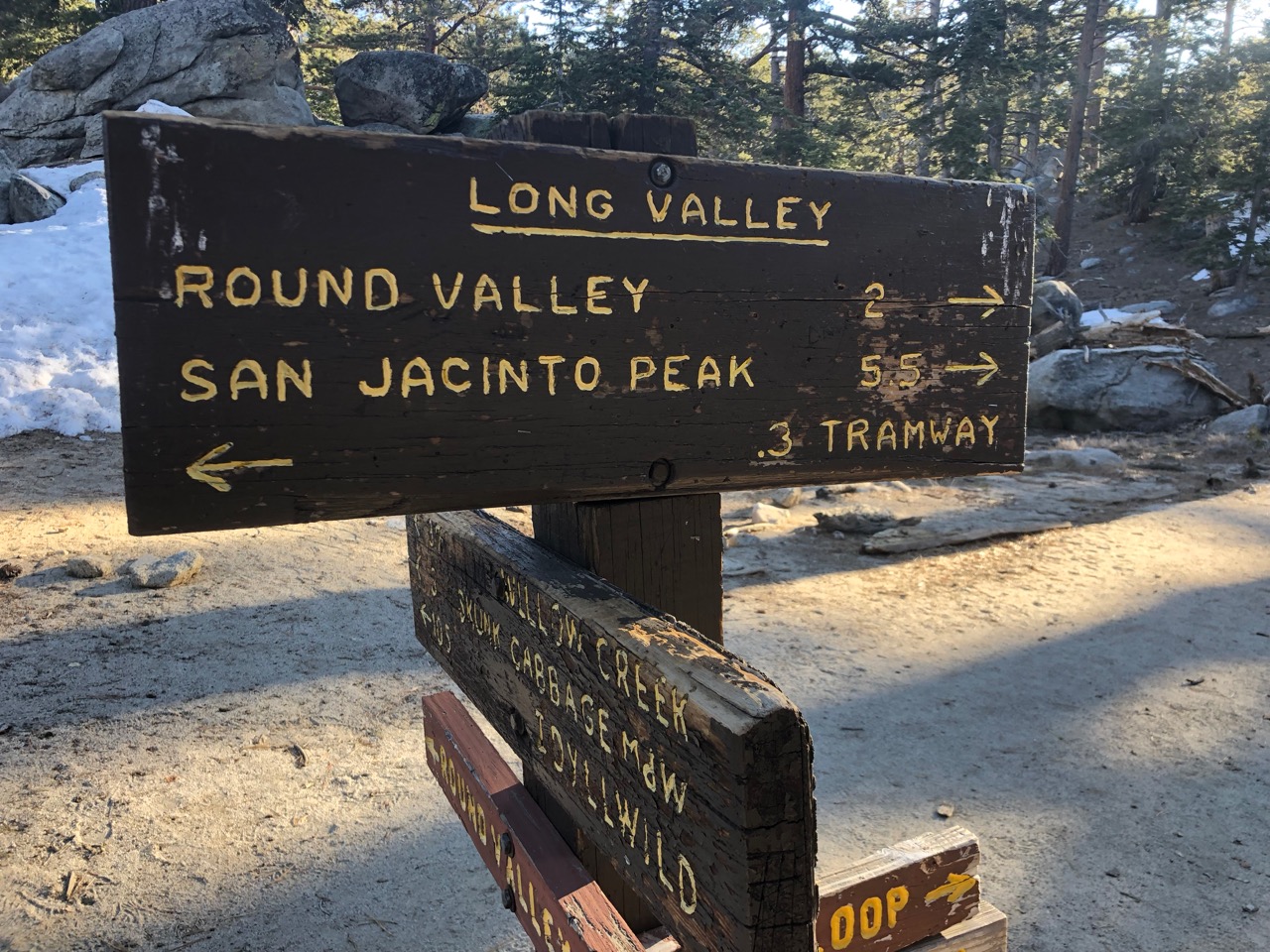
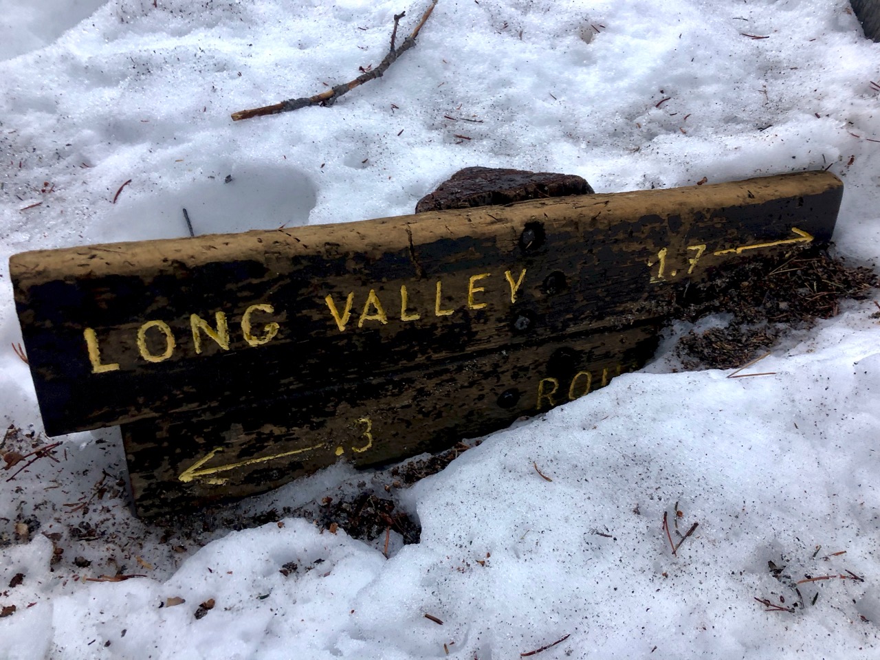
I’d planned to take the most direct route to Idyllwild – Willow Creek trail. Unfortunately I learned it was still near impassible due to snow. My best bet was to return back the way I came and try to get through the snow to Saddle Junction.
Not having spikes or hiking poles I promised to return and take the Tramway down if the snow was too deep.
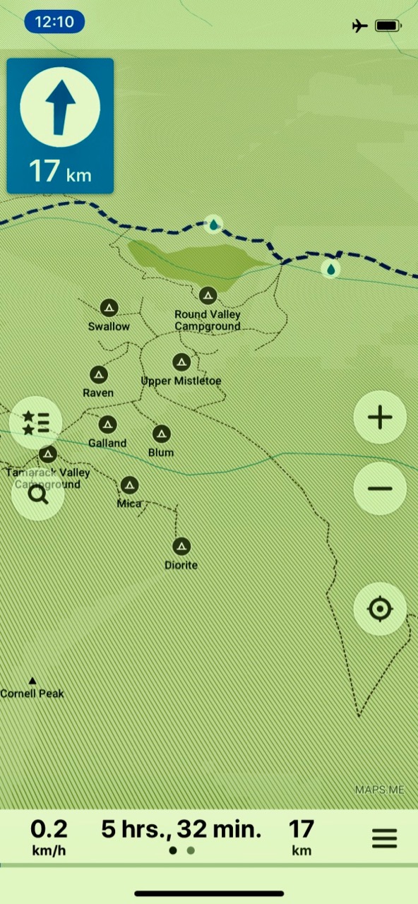
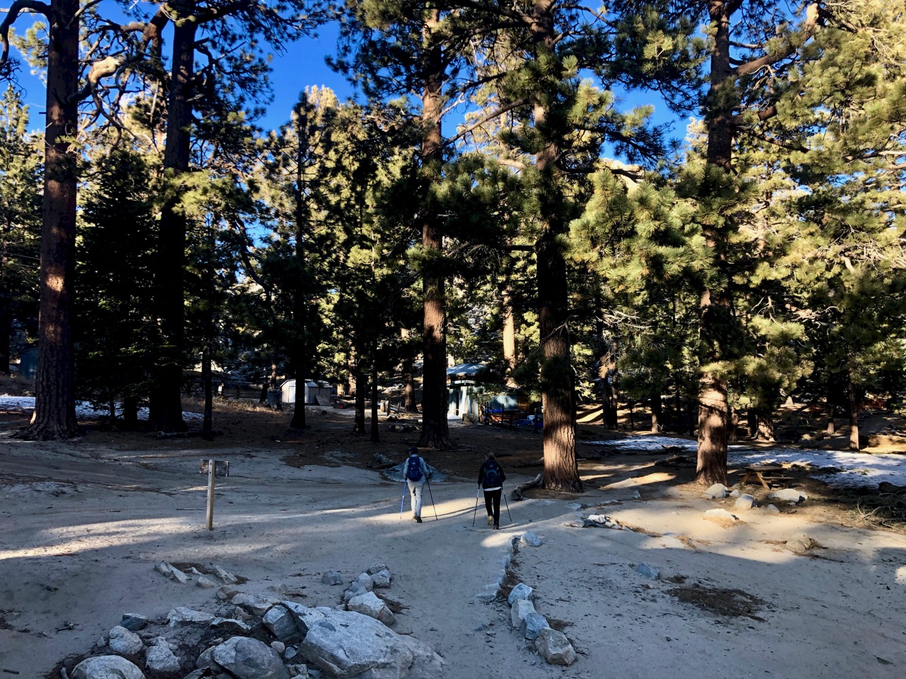
I was using the free Maps.me app for navigation at this point. It’s not all that accurate.
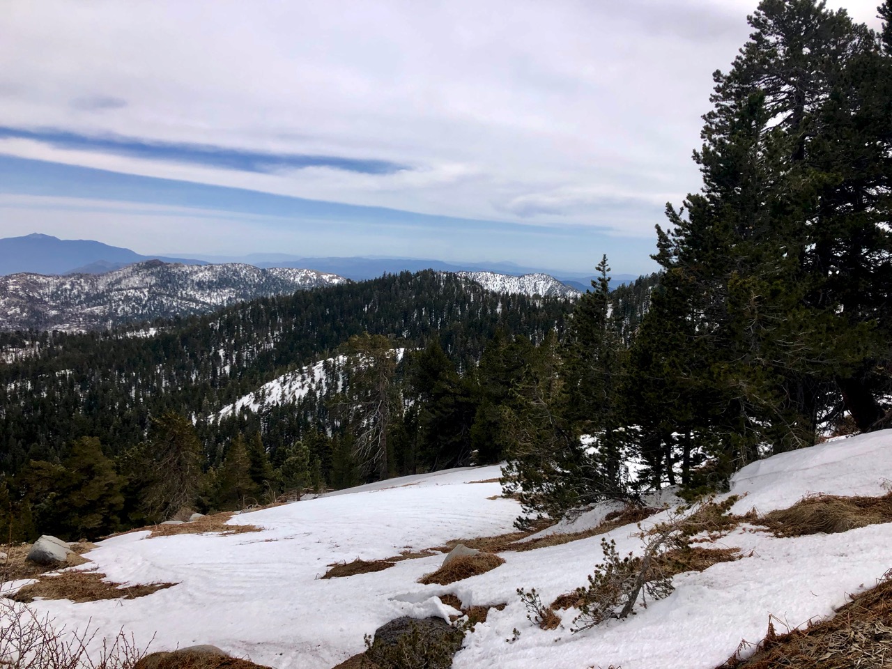
On the upside, this is the most popular trail to climb San Jacinto peak (10,834 ft). Crazies find a way to get up there in all seasons.
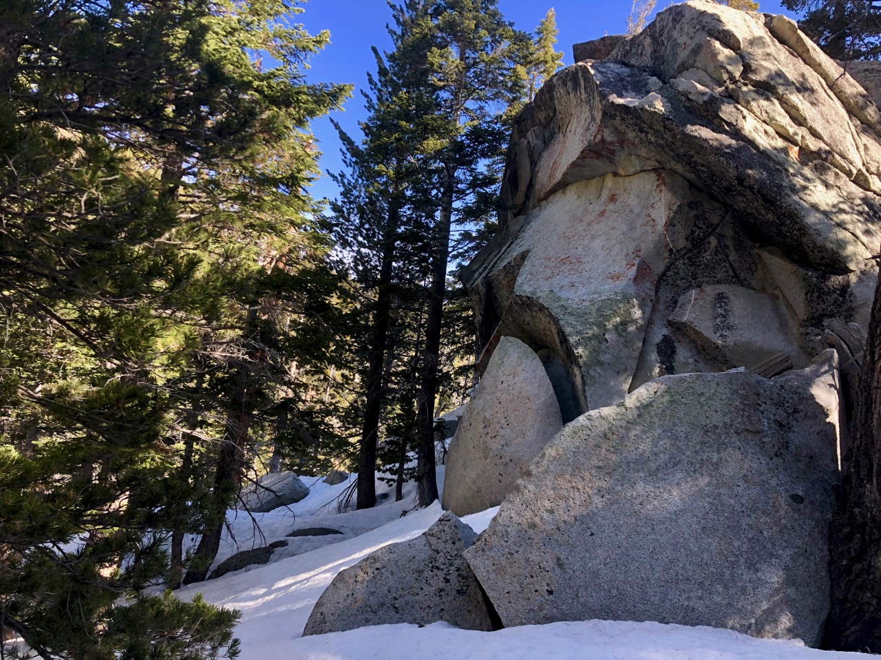
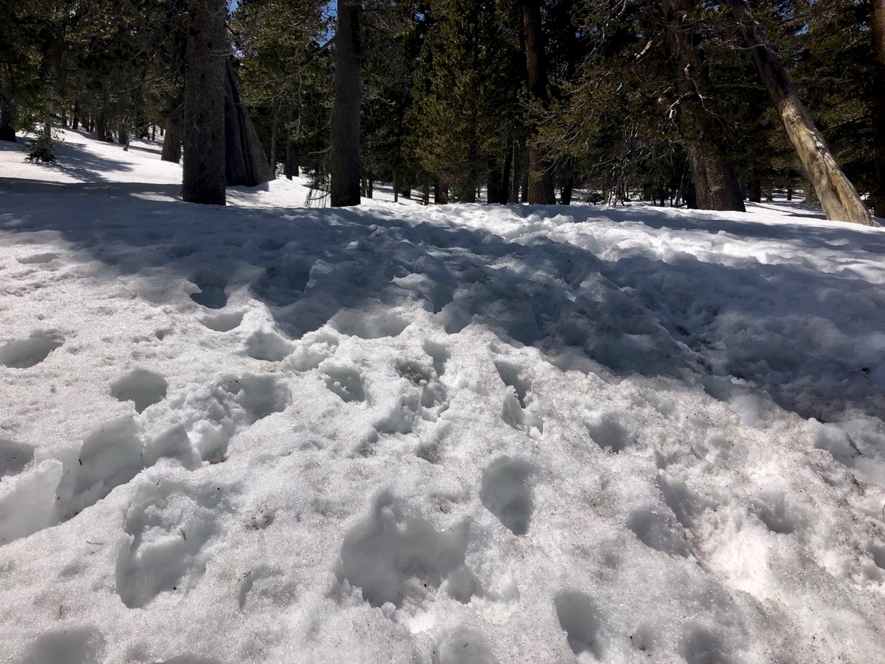
As it turned out the snow was still hard packed. It was fairly easy to quick step from one footprint to the next.
It got easier after Wellman’s Divide.
At Saddle Junction I ran into a PCT hiker in a hurry to get to Idyllwild. The Saddle is on the Pacific Crest Trail.
A teenager from Michigan, he had the smallest pack he’d seen so far over the first 10 days.
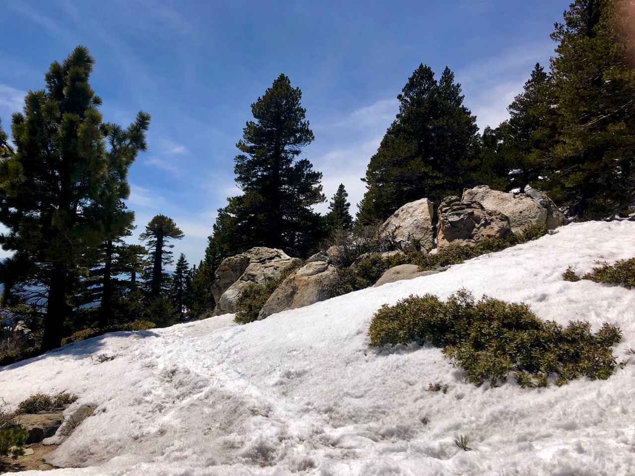
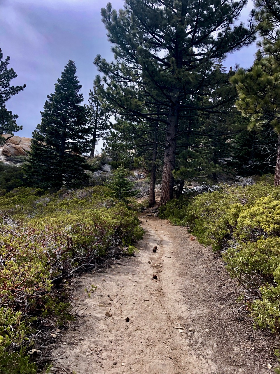
As we descended snow disappeared. The switchbacks very well graded.
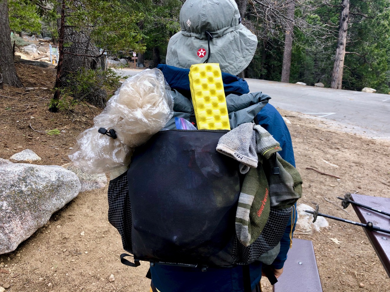
PCT hikers were waiting at the parking lot hoping for a Trail Angel to arrive and deliver them a ride to town.
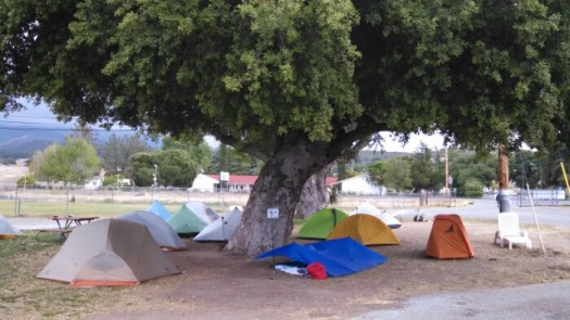
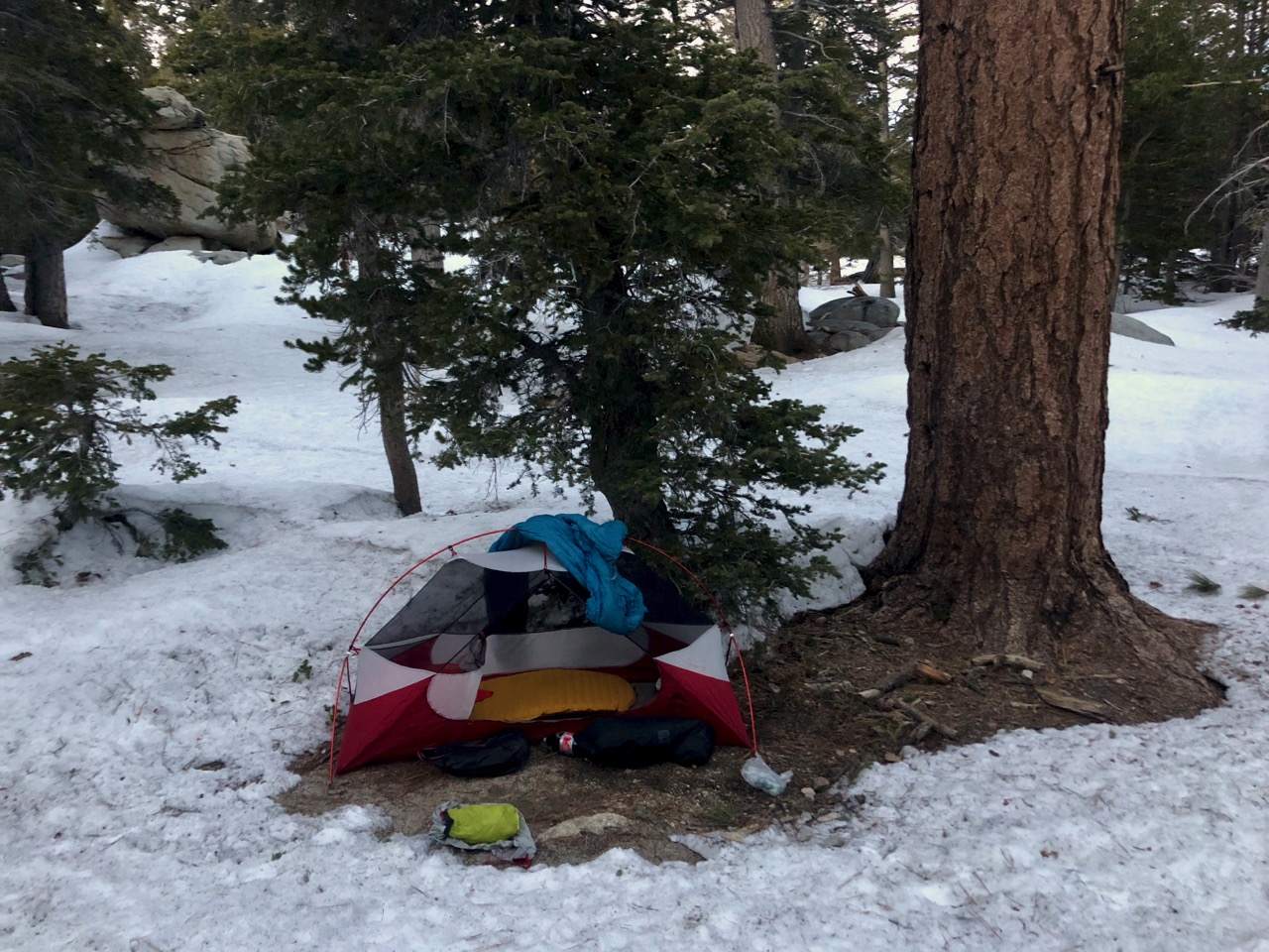
It wasn’t a local Trail Angel but tourists who drove up siteseeing. They happily agreed to make 3 trips delivering dirty hikers to the $5 PCT camp site in Idyllwild (pop. 3500).
I ordered a LARGE pizza and watched Game 1 of the Calgary Flames playoff series.
With over 40 tents full of thru hikers it’s an ideal place to get information and tips. 😀
A fellow at the information desk recommended I return the car … then take the Palm Springs Aerial Tramway to start the walk to Idyllwild, one of the most popular towns on the PCT.
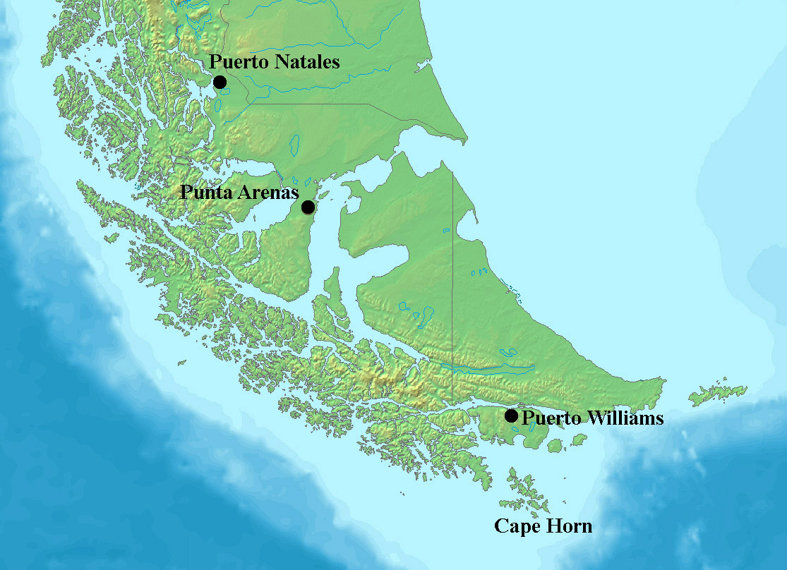
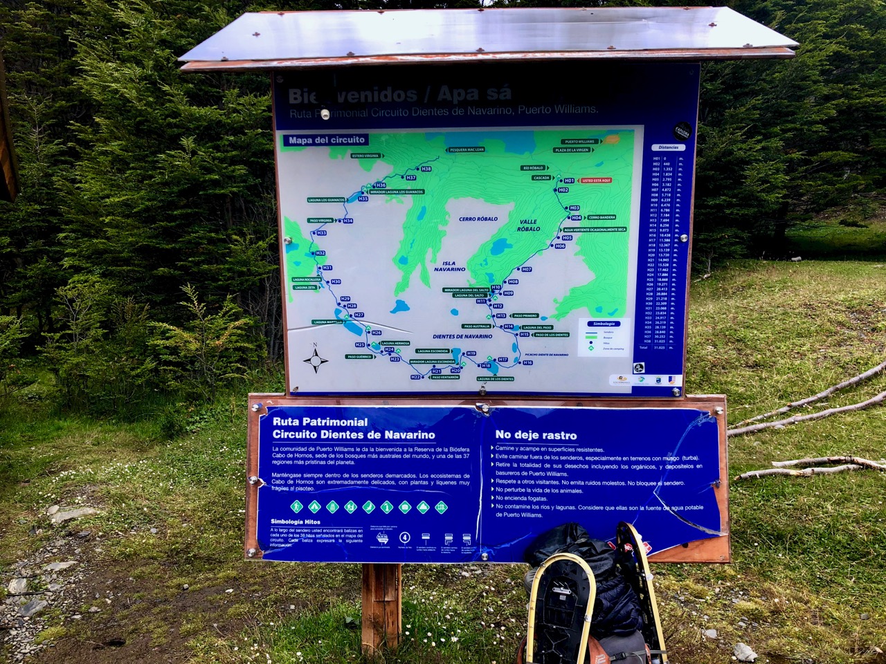
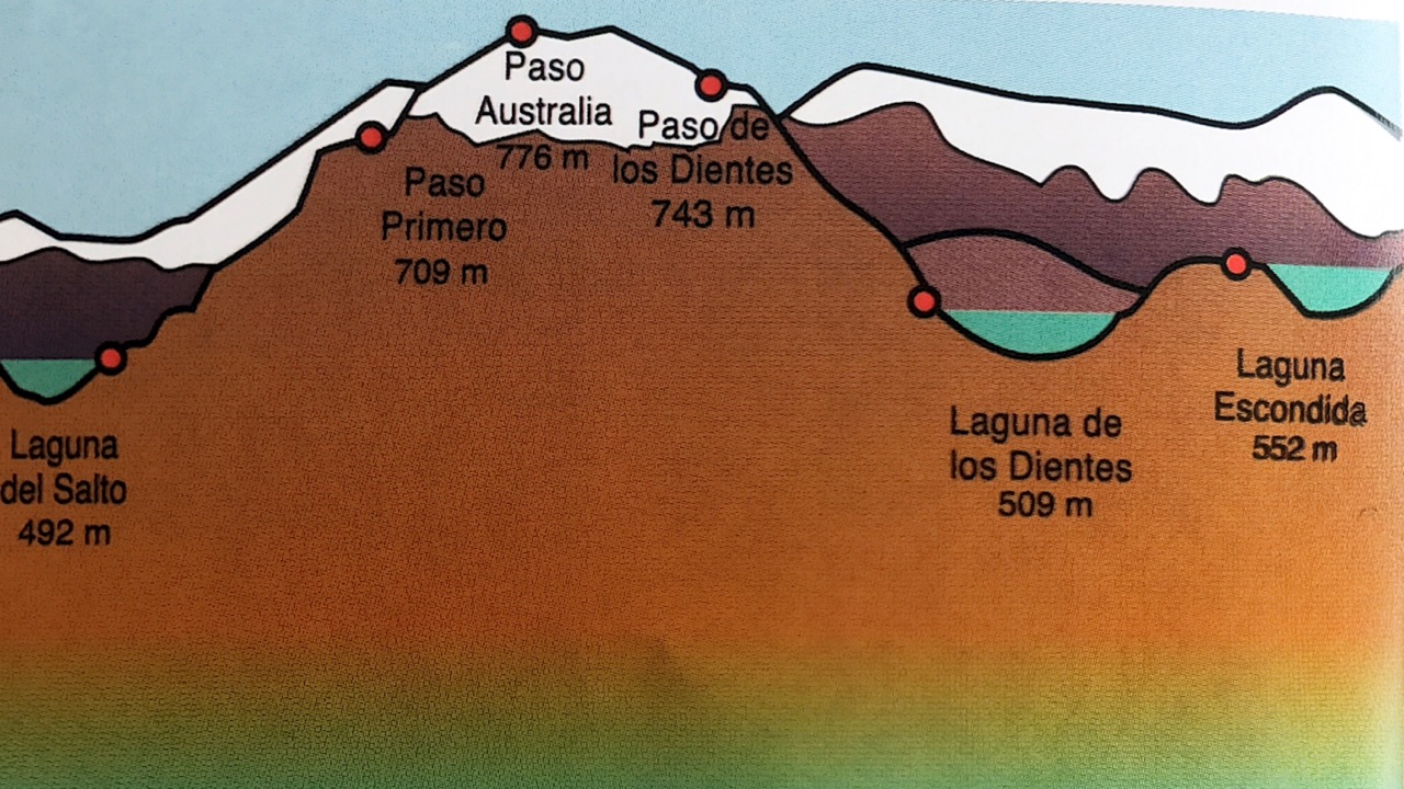
Dientes de Navarino (Teeth of the Navarino) is one of the best hikes in South America. The island of Navarino has the most southerly established trails in the world.
The jumping off point is Puerto Williams.
Most do the 50km over 4 days.
FIRST you need get to the end of the world. That’s Puerto Williams (pop. 2000) on the island of Navarino.
There are three ways:
– flight on small plane from Punta Arenas ($150 one way 2019)
– fast boat from Ushuaia (45min) and shuttle van (45min) about $100 one way 2019
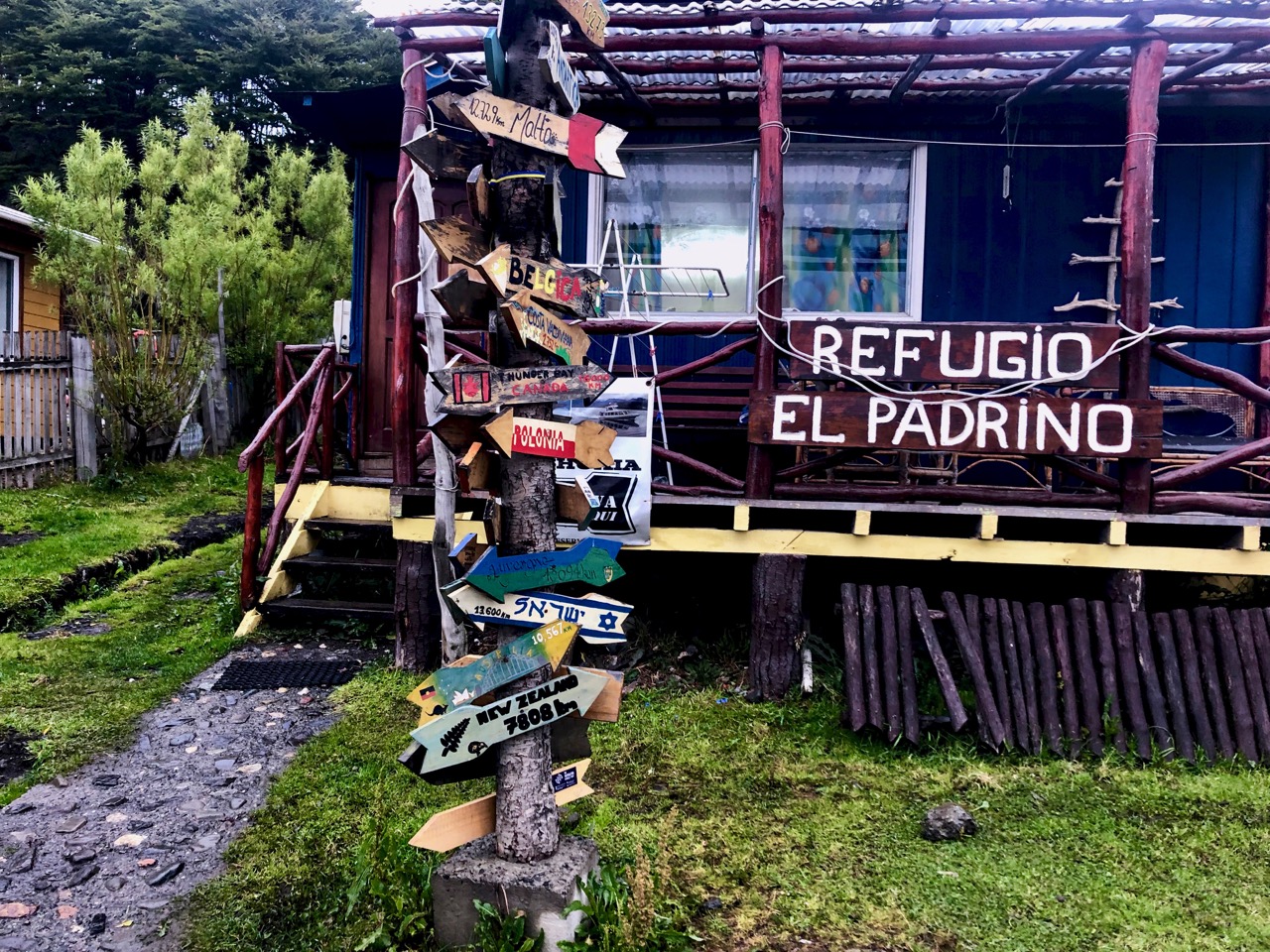
I stayed at the friendly and relaxed El Padrino hostel. Most people there are either coming from or going to a hike. It’s a great place to get maps and up-to-date information.
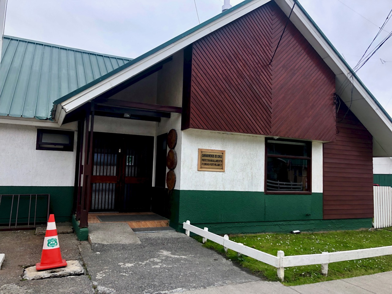
For overnight hiking you are asked to register (free) at the police station. I found it fast and efficient.
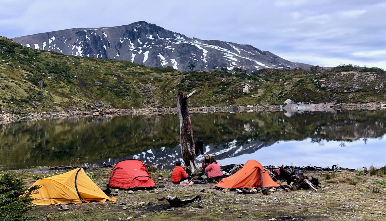
The day of my departure some left the hostel at 8am. As is often the case, I was last to get on the trail. I left town at 1pm. It was only 4-6 hours to the first campsite.
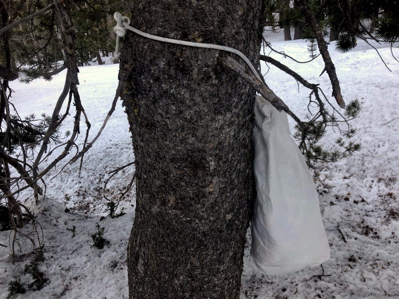
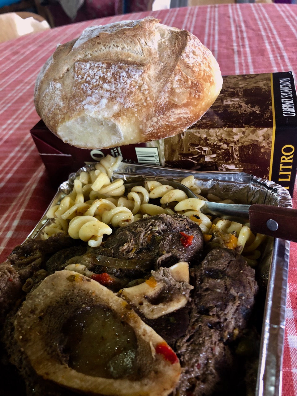
I had a hot un-dehydrated last meal for lunch. 🙂
The first big snowfall of the year was the previous week — the end of February.
Almost everyone that week had turned back after post-holing deep snow. Most trail markers were hidden.
Weather was improving for my departure March 1st. But everyone had rented snowshoes over the past couple of days … just in case.
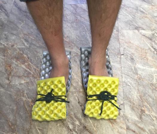
I’d decided NOT to rent snowshoes hoping enough people were gone ahead of me to put down a trail in the snow.
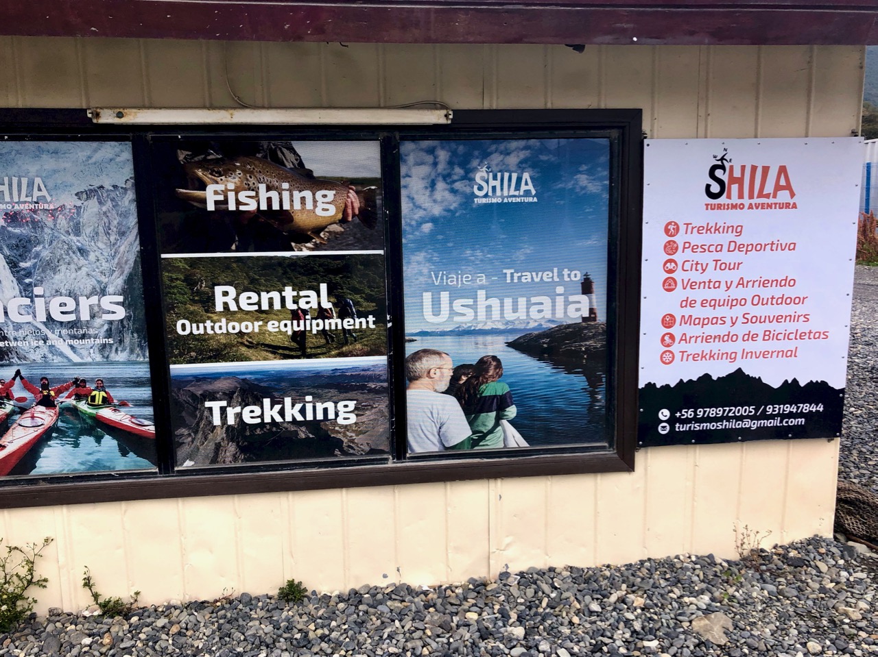
But Shila — the main gear store in town‚ happened to be open (for the first time) as I walked past on the way to the trailhead. I grabbed their last pair. ($3 / day)
Even if I didn’t use them, they would make me look more macho. 😀
It’s a couple of kilometres to the start. Most people walk from town.
Summer on Navarino island is lovely. I can’t imagine how it must be during the very long, dark, cold, wet winter months.
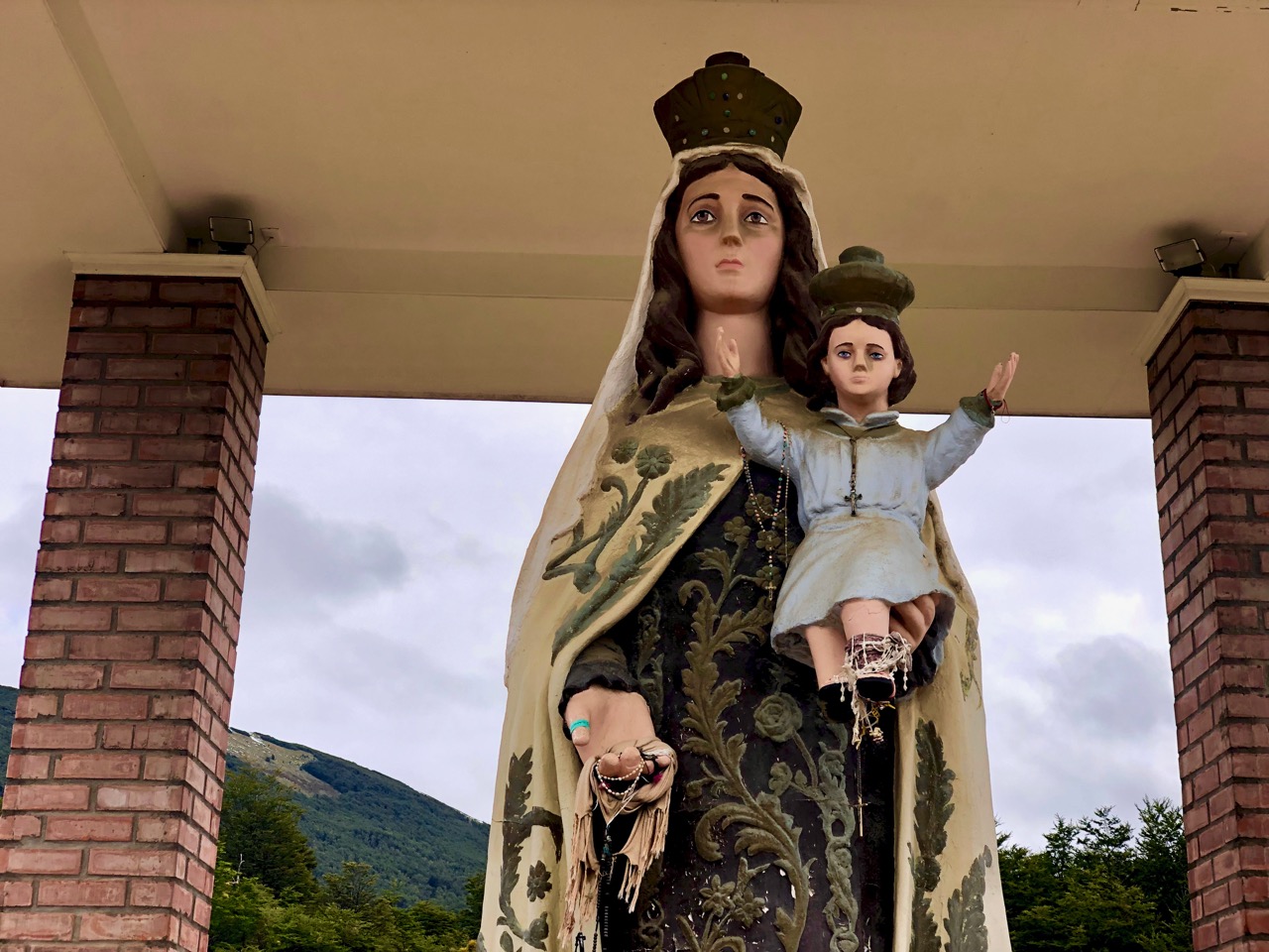
Everyone stops by to give their respects to the Virgin. It couldn’t hurt.
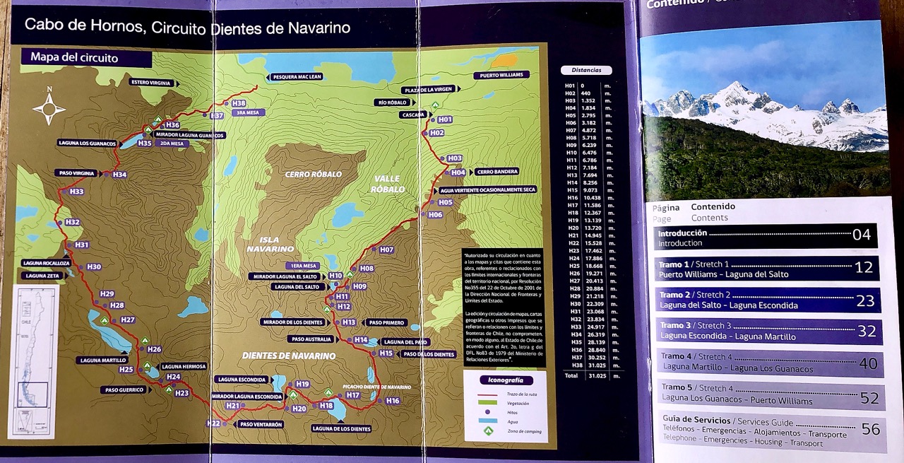
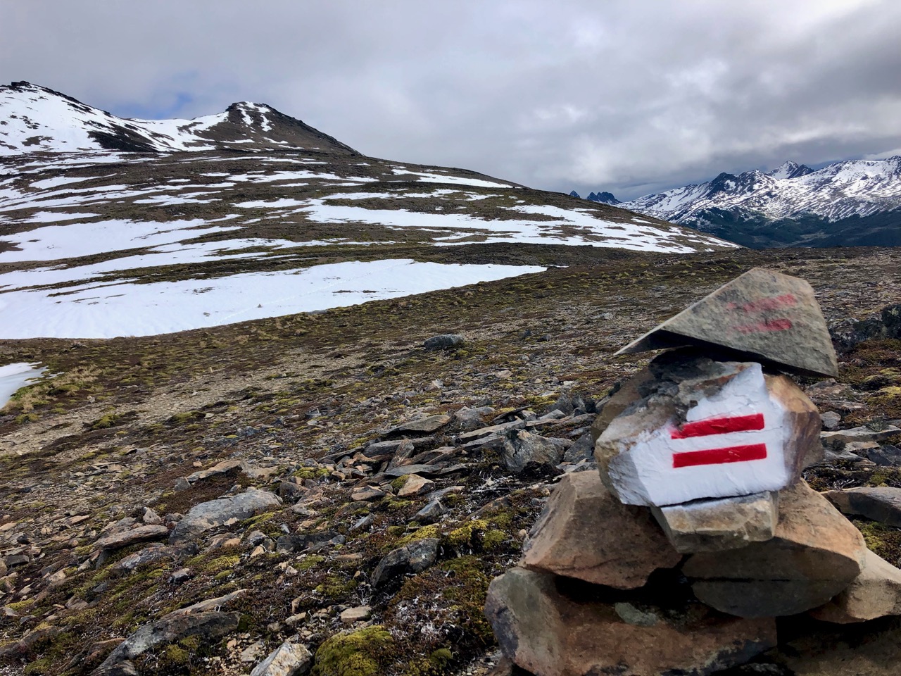
This trail is really well managed. RESPECT to whomever got this organized.
Trailhead
Actually, it was Lonely Planet’s Clem Lindenmayer who popularized it in his 1992 Lonely Planet guidebook Trekking the Patagonian Andes.
Clem died age-47 while hiking in China’s Sichuan Province, I’m sad to recall. I loved his book. It was part of the inspiration that had me start this site.
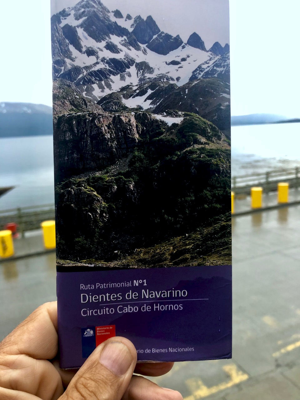
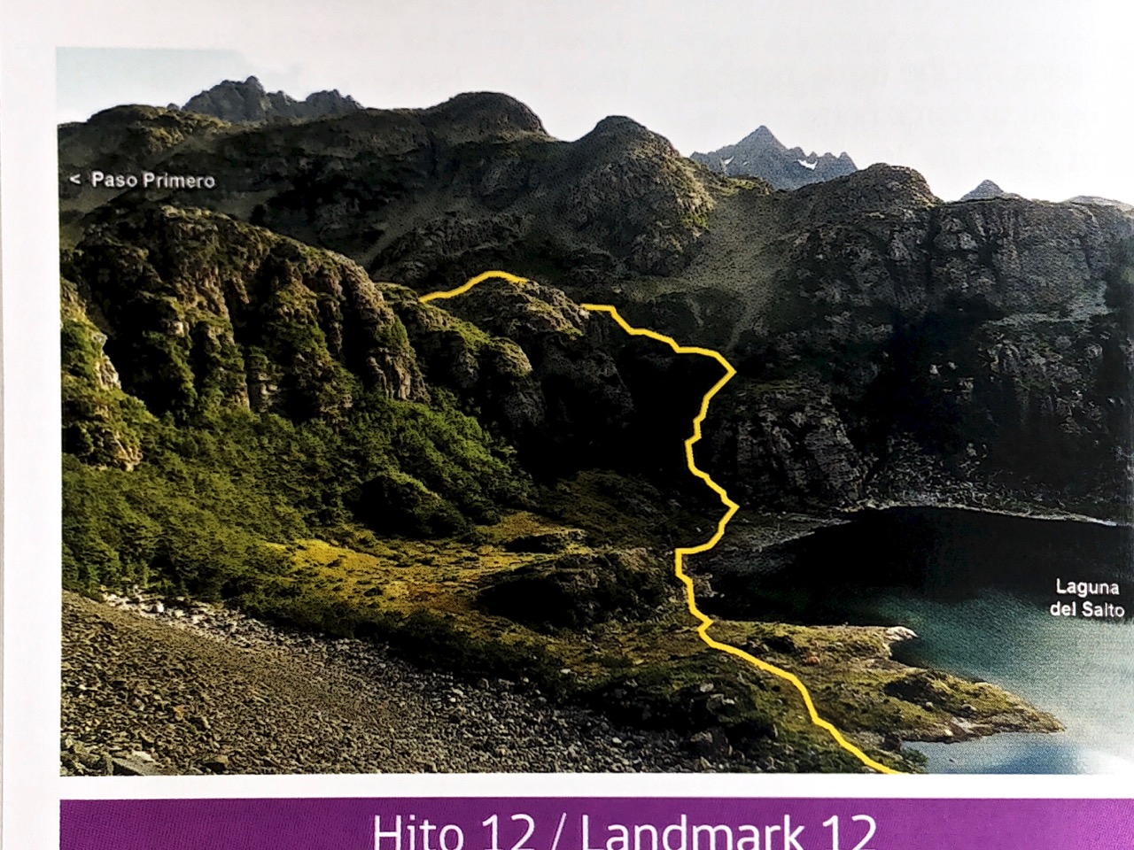
The BEST thing about the Dientes Circuit is this free pamphlet. I can’t recall a better one hiking brochure anywhere else in the world.
In Spanish with English translation, it’s crystal clear. All you need for navigation.
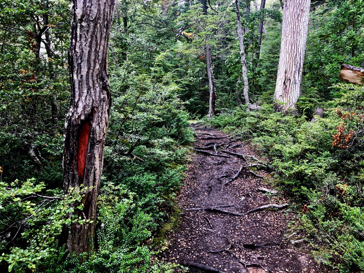
The start is up, up, up through the trees.
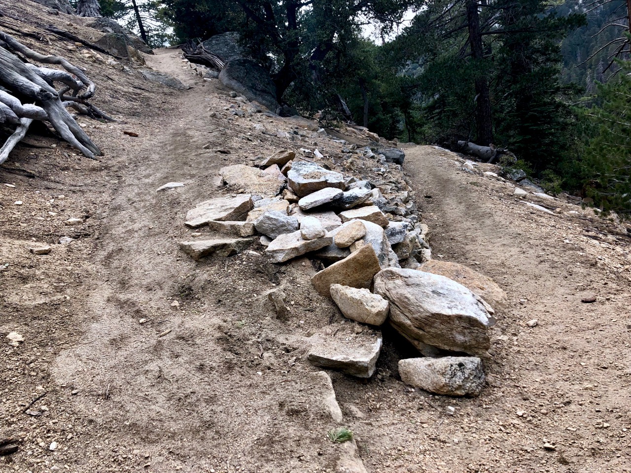
Quite a bit of trail maintenance has been done in this section.
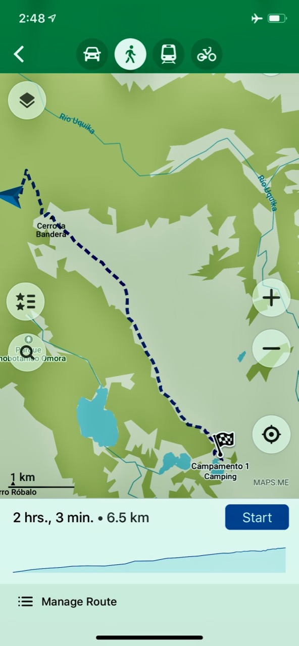
I used Maps.me as a back-up to the pamphlet description.
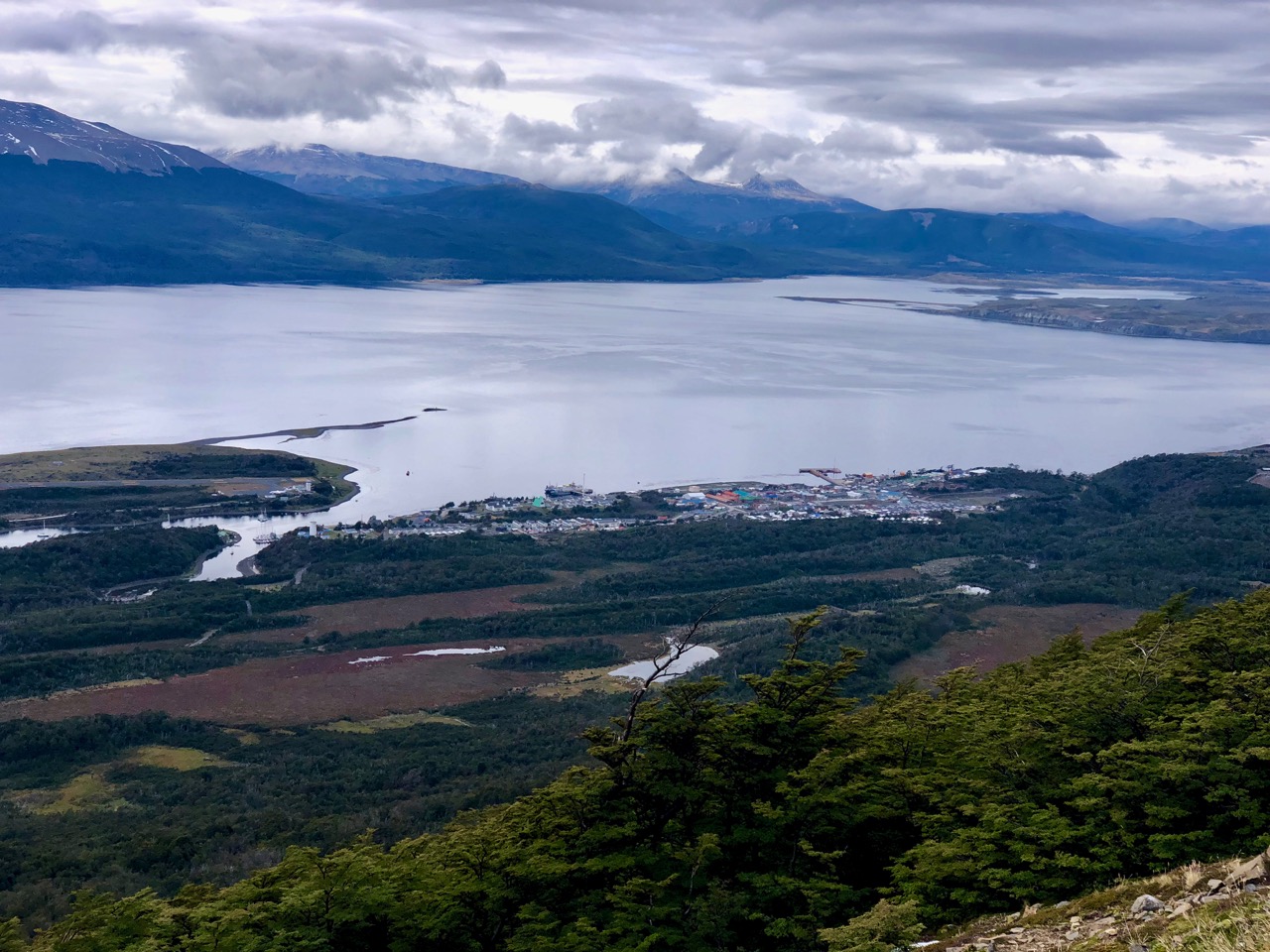
The start is the most popular dayhike out of Puerto Williams. Up to some viewpoints.
Puerto WilliamsBeagle channel
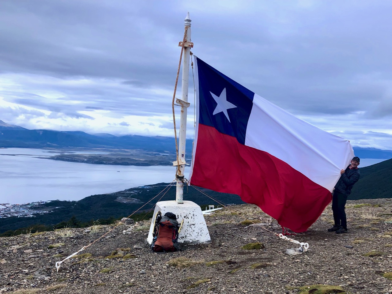
Most day hikers finish at the giant Chilean flag.
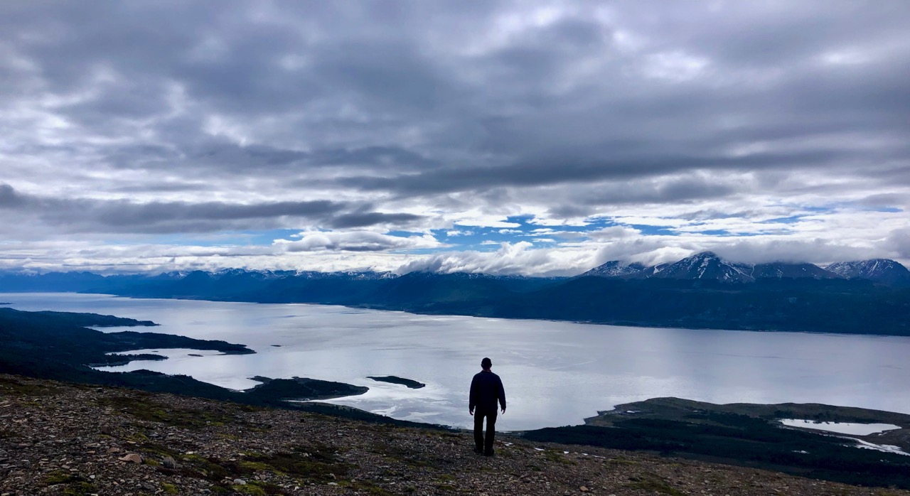
I continued up on the rocky plateau.
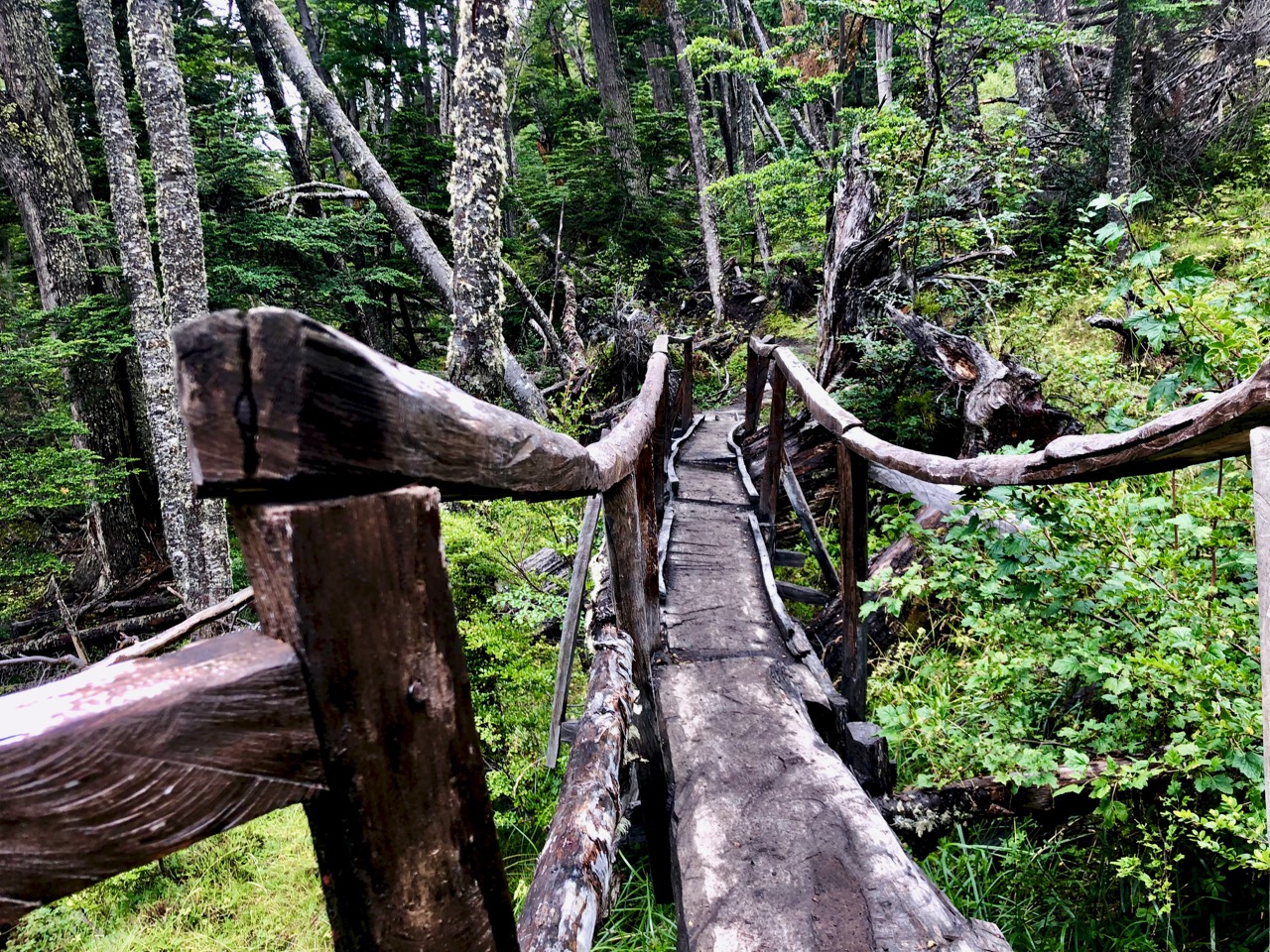
It’s fairly well marked here, as well, though you do have to keep your eyes peeled for cairns. In spots there are multiple trails to get to the same place.
The only real problem is punching through snow or ice and getting your feet wet.
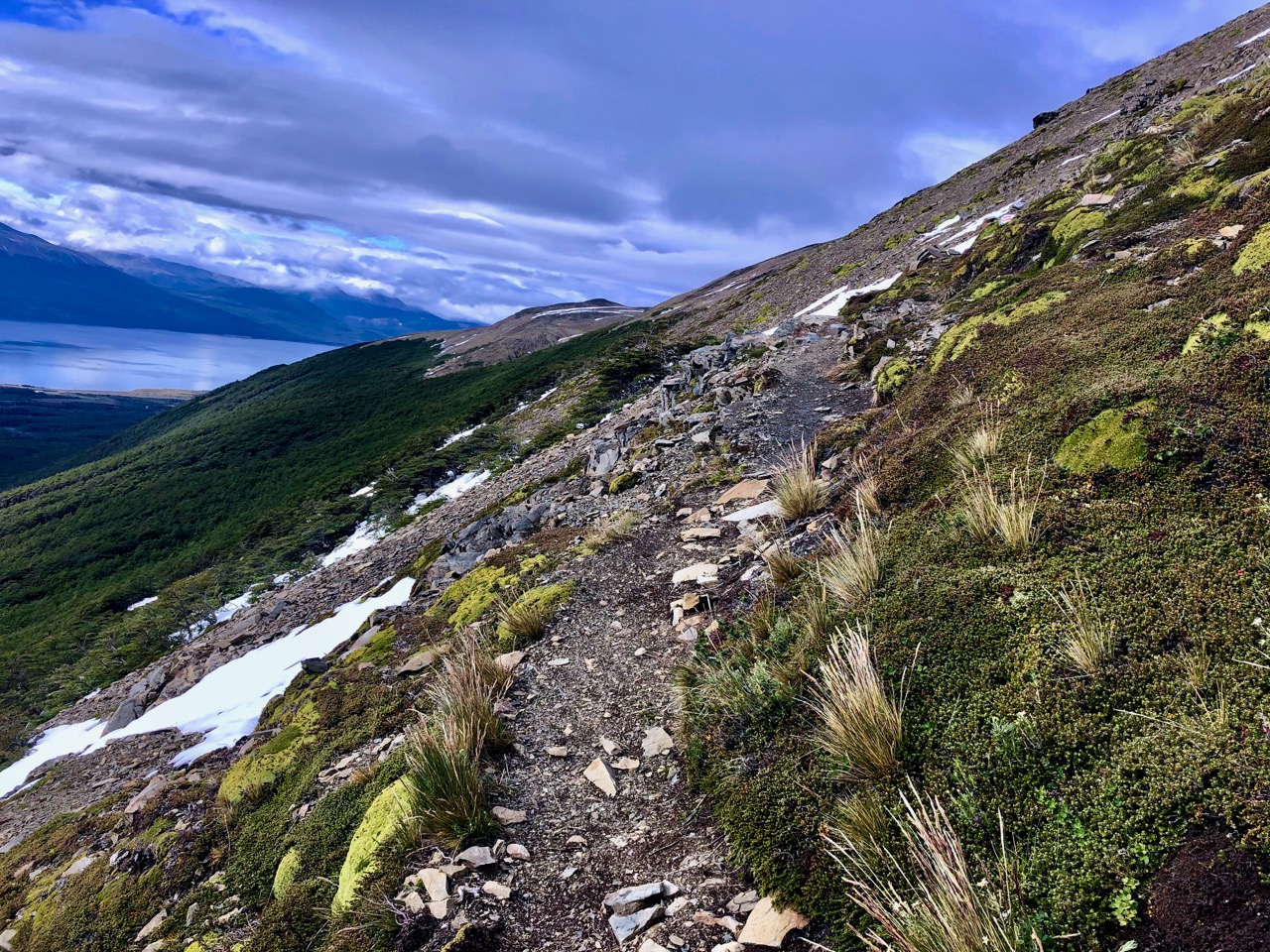
A difficult section is a long traverse along the side of a mountain.
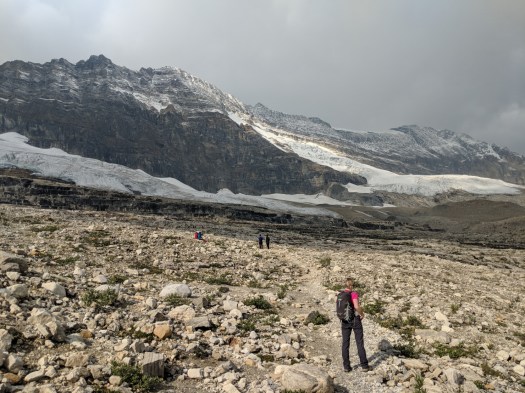
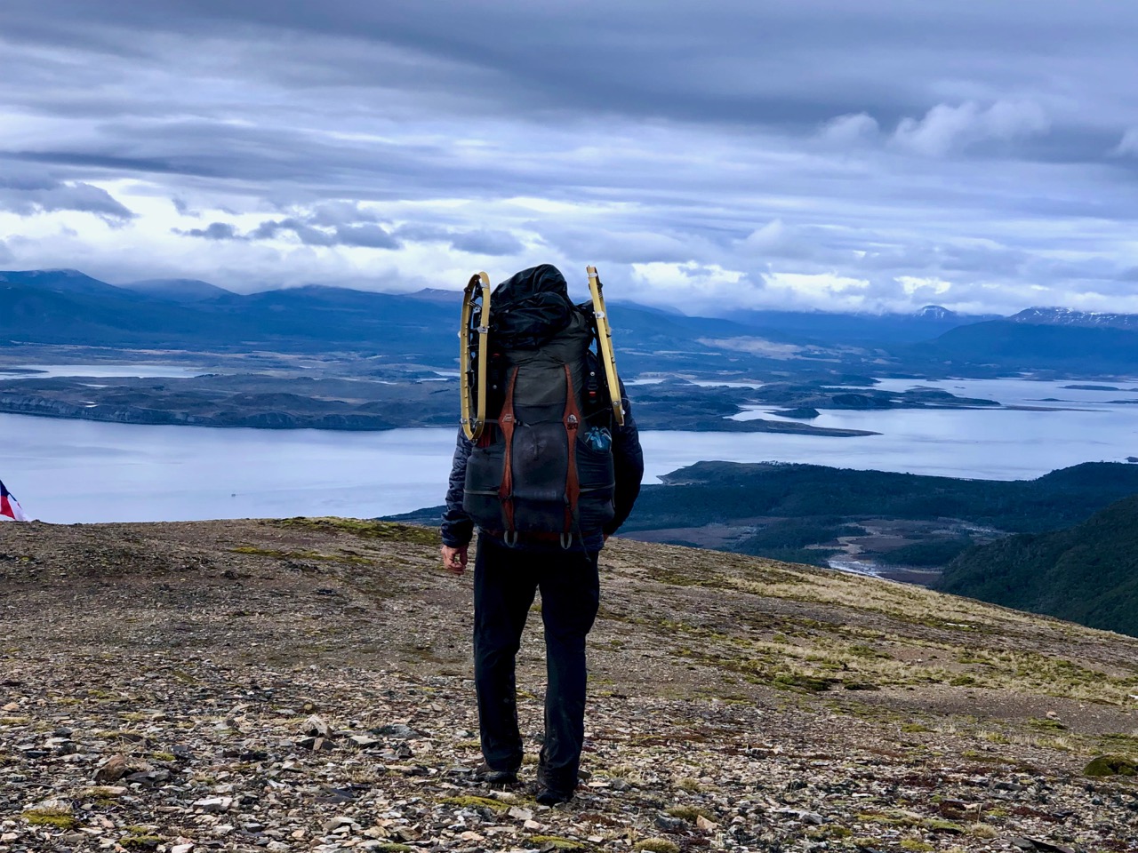
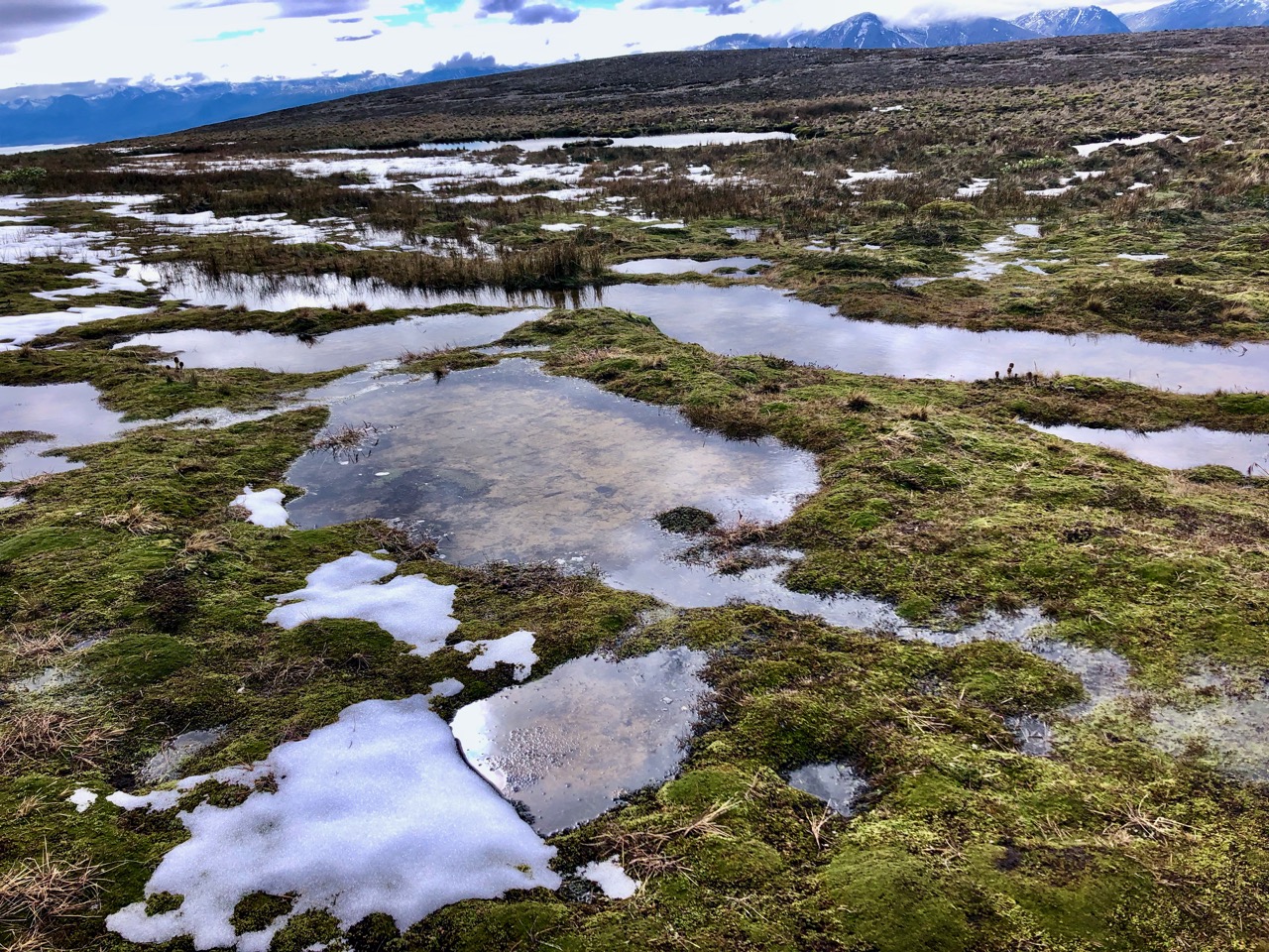
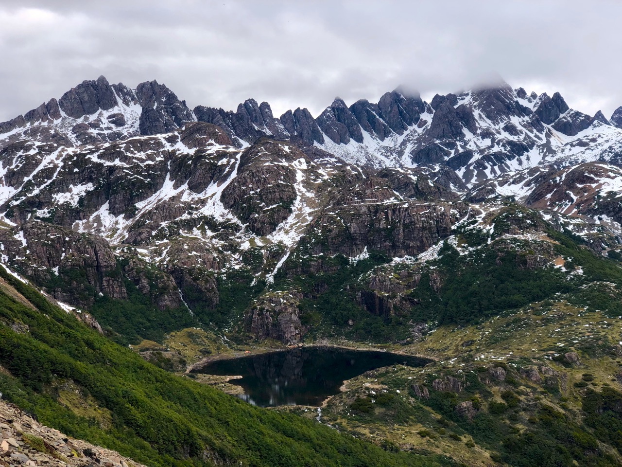
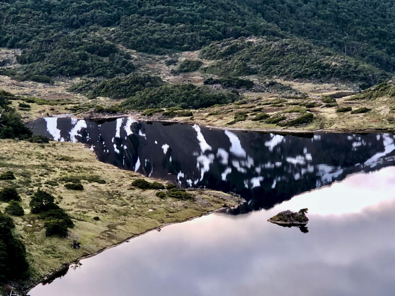
You pass a chain of pretty alpine lakes.
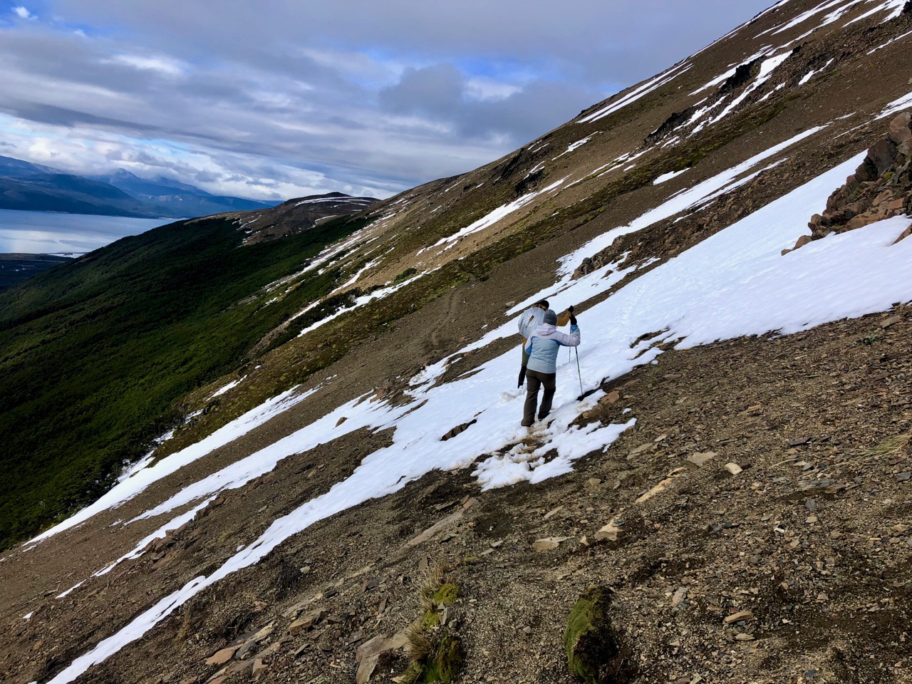
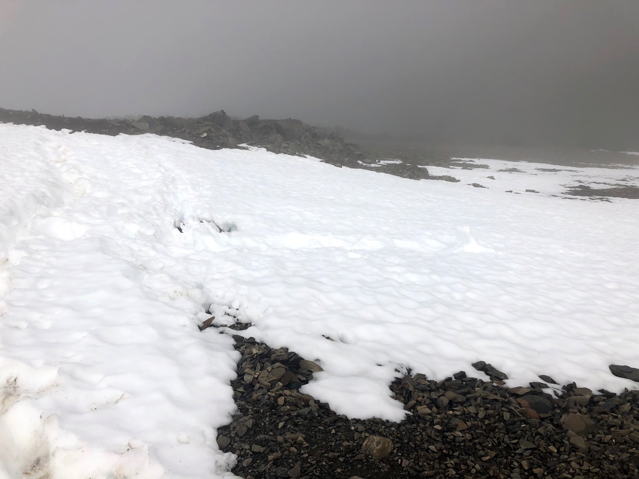
This is the kind of snow I faced on the first day. Easy — but with some exposure. If you slip it would be a long, painful fall.
There’s my destination. Under the teeth of Navarino. It’s a steep scramble down.
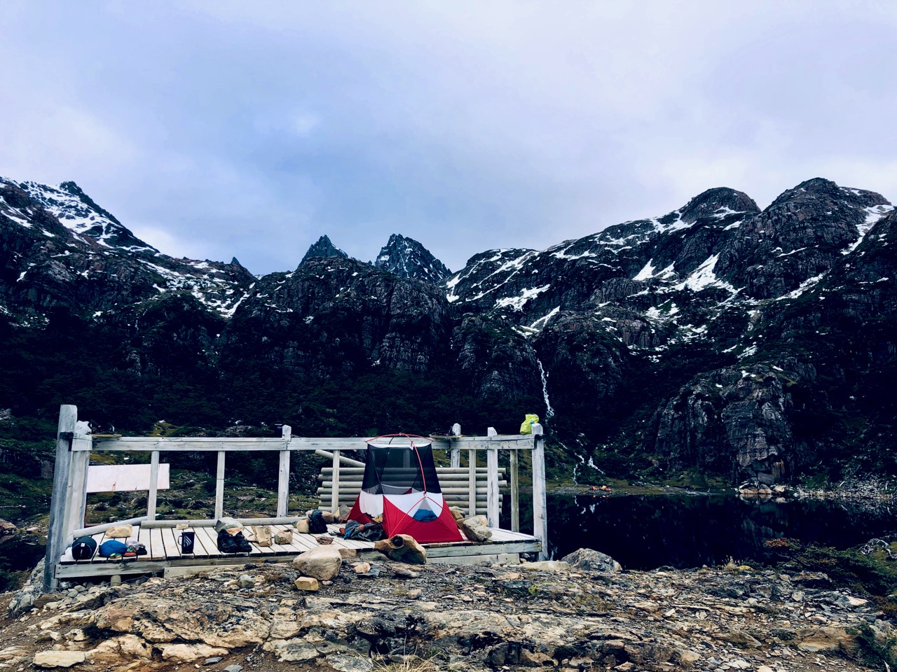
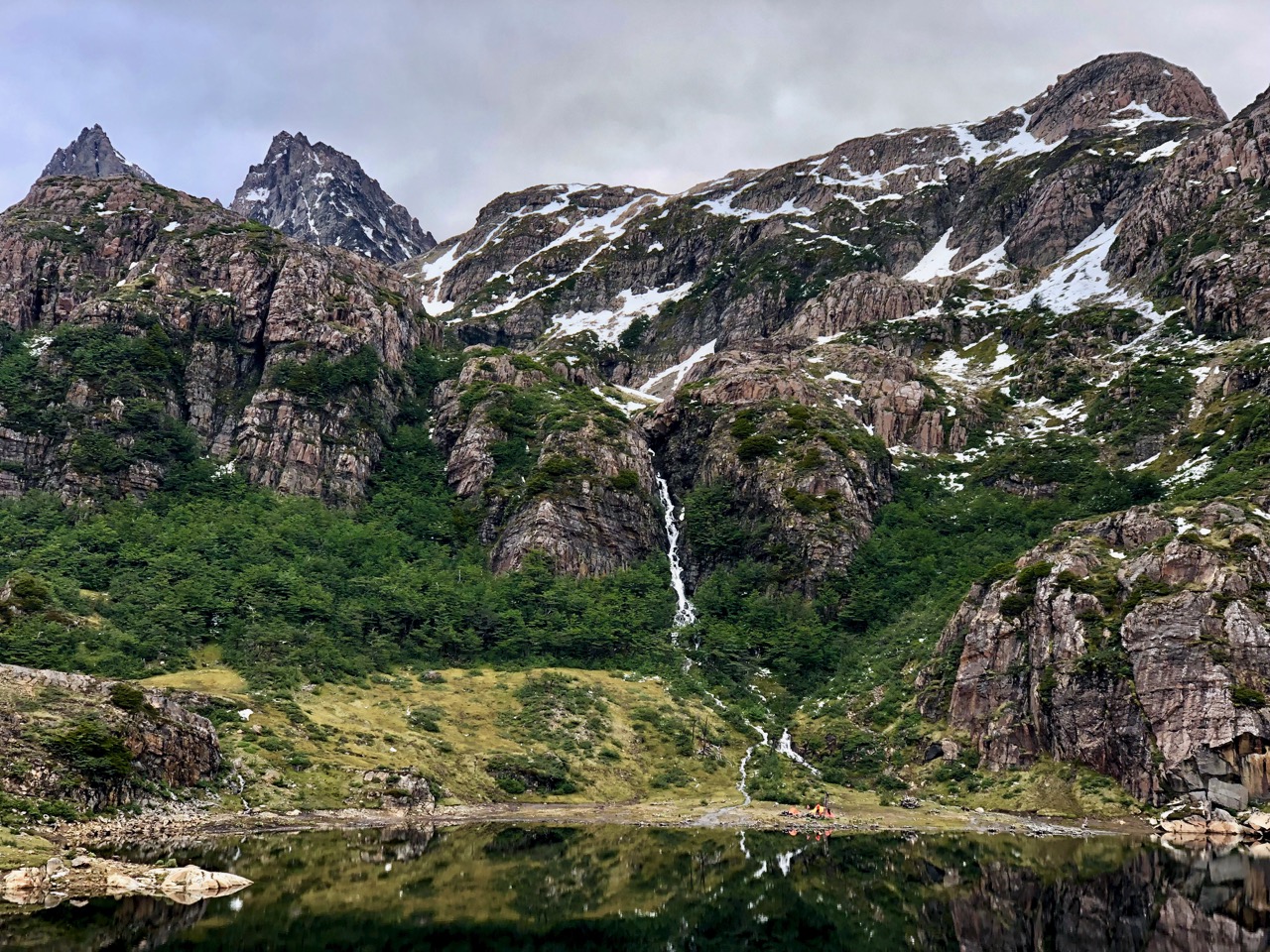
Laguna del Salto
I set up late in the day on the observation platform. Serious hikers sometimes day hike here and back. That would take at least 8 hours.
Most people tent over by the waterfall.
It was a gorgeous evening and night. I was optimistic for the weather next day.
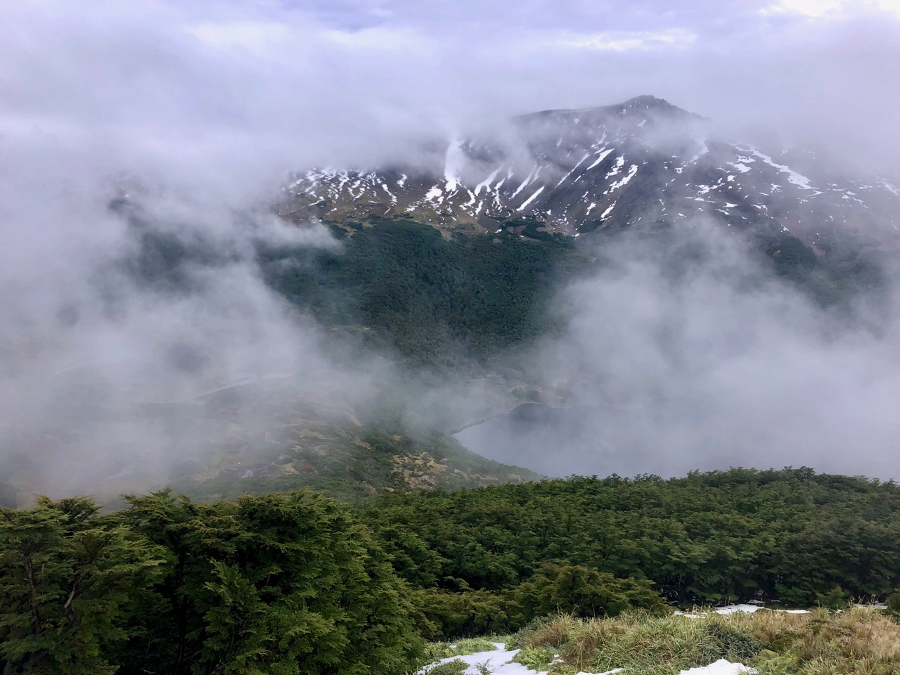
Unfortunately clouds were getting denser when I awoke.
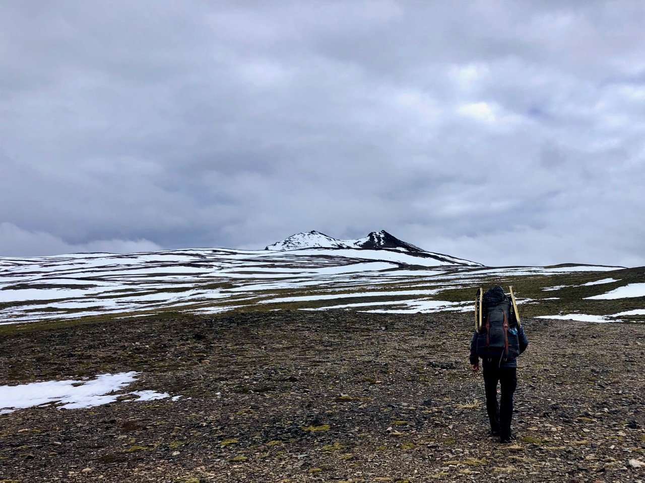
Here’s what I would face day 2 trying to get to Laguna Escondida. Lots of snow.
Potentially no vistas. Potentially a slog in the fog.
I also awoke with a bad stomach ache.
What to do? I had mixed feelings.
In the end I decided to hustle back to Puerto Williams and catch the 4pm ferry. It only runs twice a week in summer.
Back in town it looked to me like the highest peaks were clearing. My odds of getting through the circuit MIGHT have been 70% or more, I believe now.
Zoe Agasi and Olivier Van Herck from Netherlands spent 2 months in Ushuaia. For them the best local day hike (of many) was Laguna de los Tempanos and Glacier Vinciguerra.
That was good enough for me.
I walked from my hostel to the trailhead.
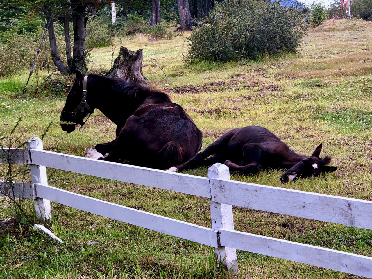
Like the north of North America, everyone here has big dogs. Most roam loose. This one probably needed to be chained up.
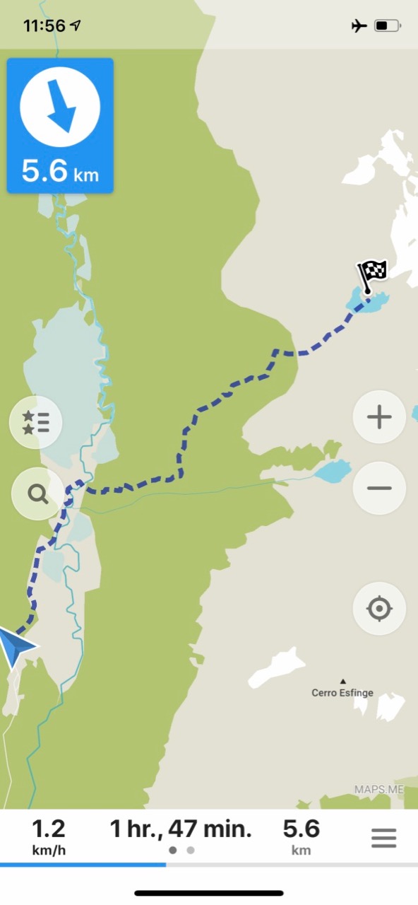
What I hadn’t realized that morning is that it was 7.3km to the start. I should have taken a taxi.
From there it’s only a steep 5.6km up to Laguna de los Tempanos below the glacier. The sign says 6km.
Up there’s where I was headed.
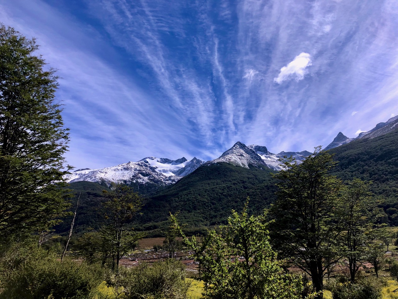
The weather was atypically reasonable today. Very little wind.
Once at the trailhead, navigation is not difficult.
Your feet do get wet on this hike — I wore neoprene booties rather than socks — but at least you don’t have to wade the largest river.
Next is a long, steep section through the trees.
It’s muddy and you need to be agile as a gymnast to negotiate fallen trees. There doesn’t seem to be much trail maintenance.
Near the top you reach an alpine meadow. Then a short climb up a waterfall to the Laguna.
Carlos from Colombia and I walked up together. He’s a Master’s student studying in Argentina currently on his summer holiday.
Carlos
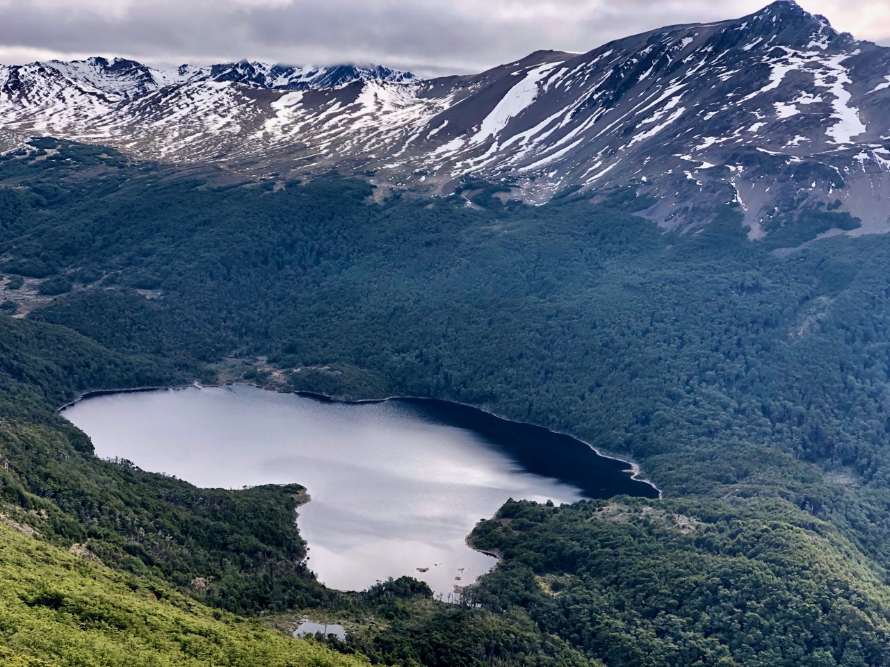
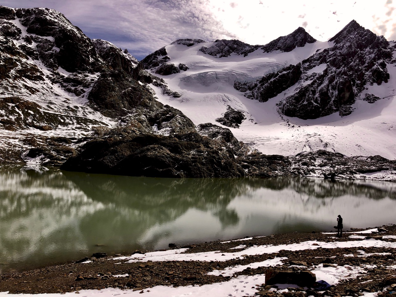
The glacial lagoon is gorgeous.
It’s not often the weather is this good. One woman went for a swim!
Like most in the world, this glacier is rapidly receding. ☹️
Looking back at the Beagle Channel.
I highly recommend Laguna de los Tempanos and Glacier Vinciguerra. But only in good weather. It’s tough, as well. I fell once into the mud on the way down.
And organize transport to and from the trailhead. The Los Humedales cafe at the trailhead will call you a cab if you don’t have phone that works in Argentina.
Rick at Laguna de los Tempanos, Ushuaia, Argentina
P.S. There are two side trails that I didn’t have time to do: