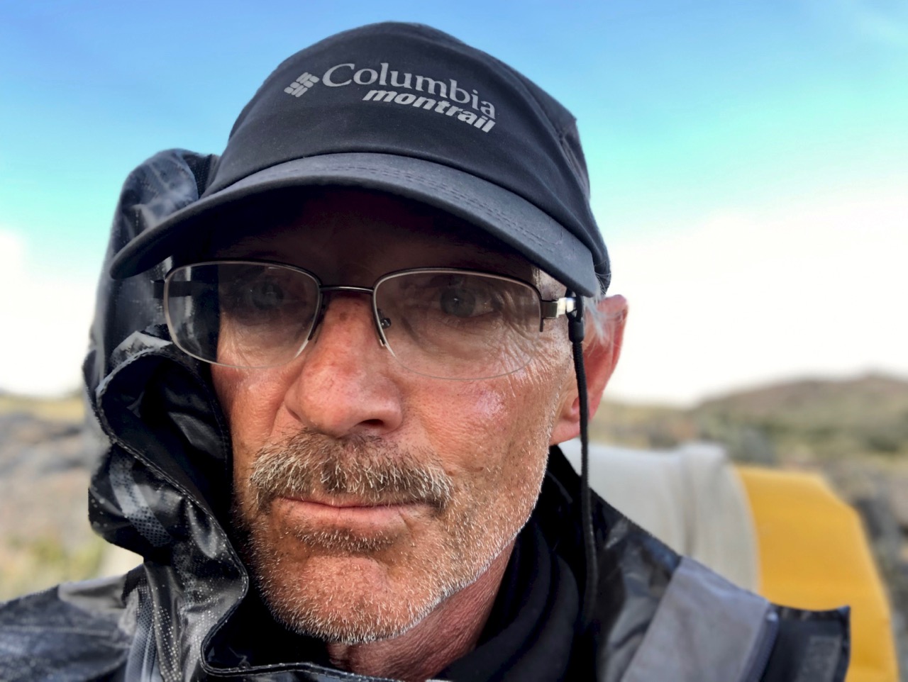
trip report by BestHike editor Rick McCharles
Huemul Route – day 1 | 2 | 3 | 4 | info
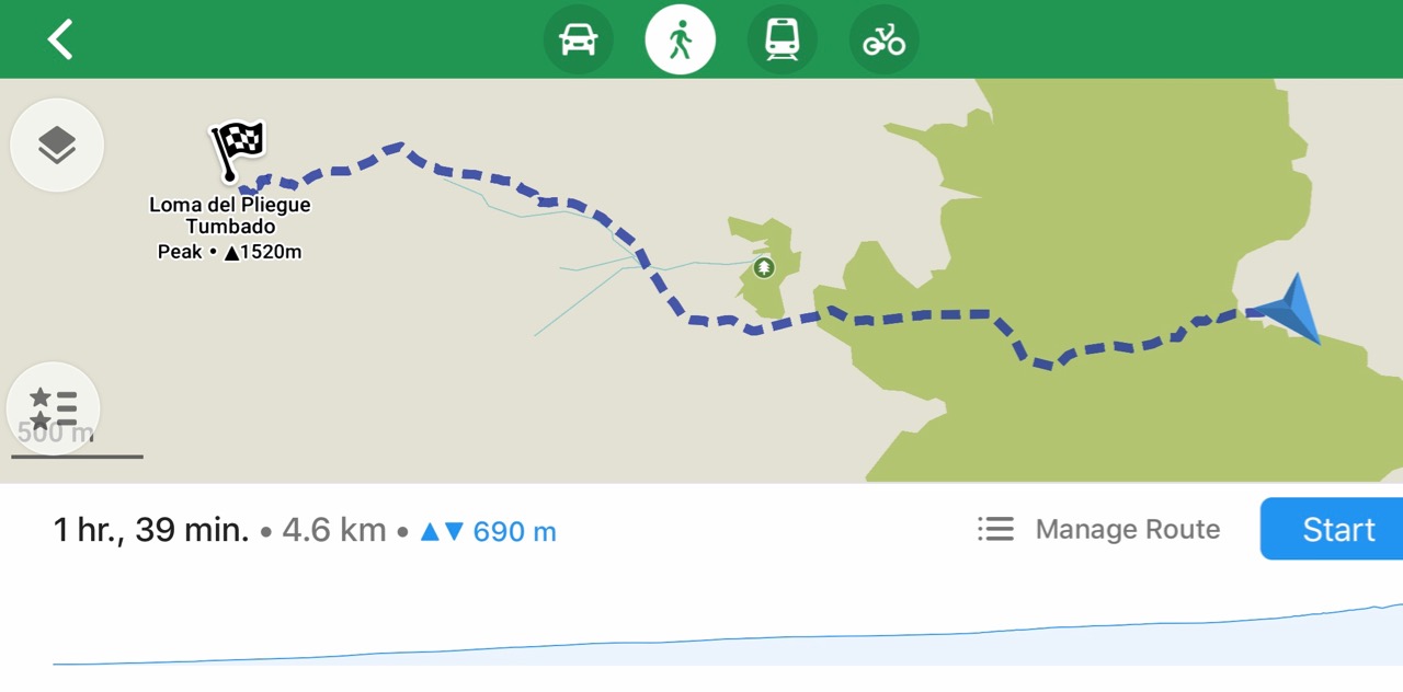
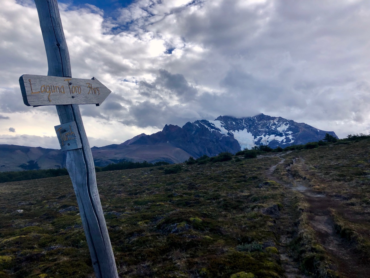
Day 4 was my walkout back to El Chaltén. Everyone hikes counter-clockwise.
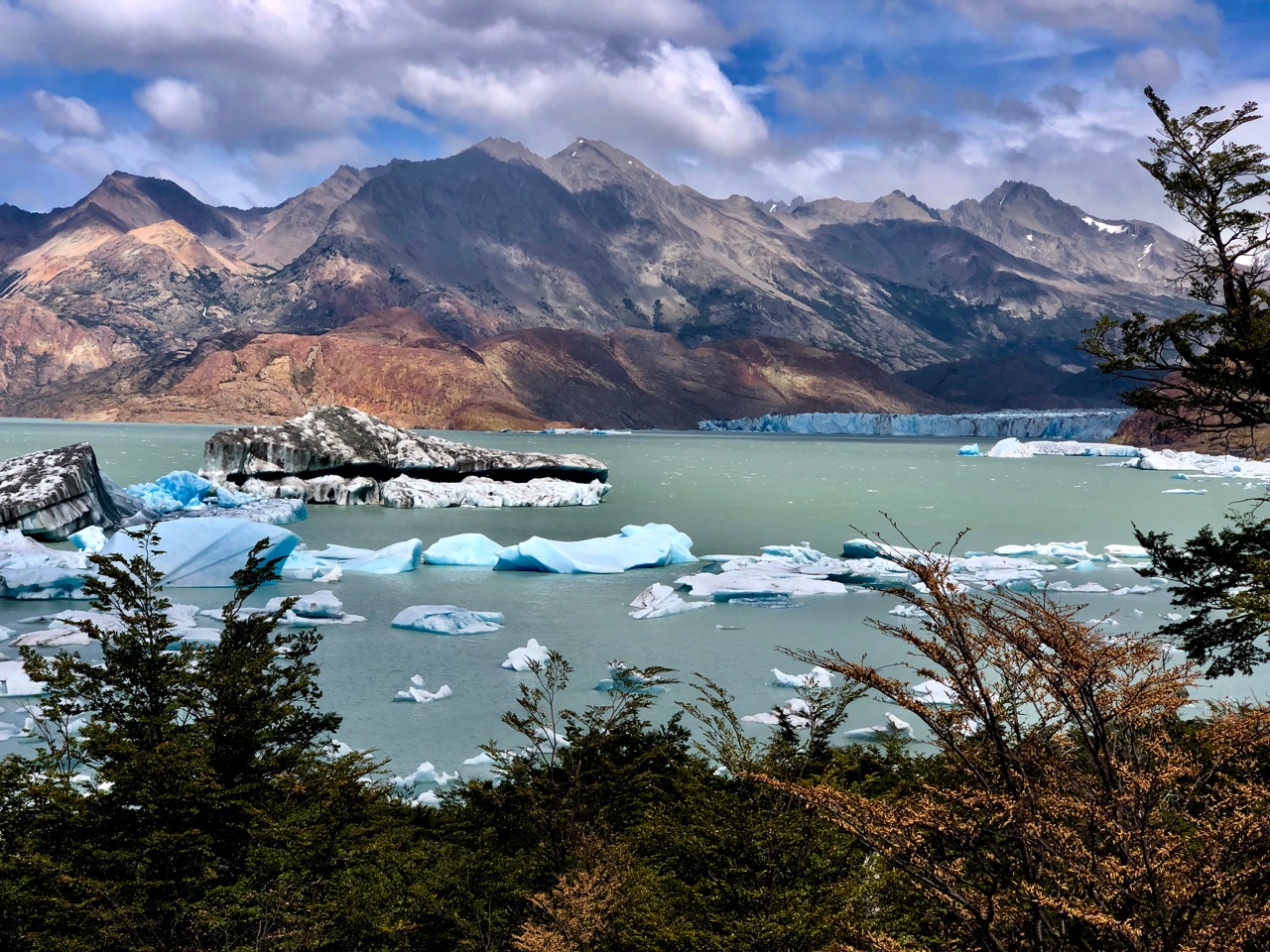
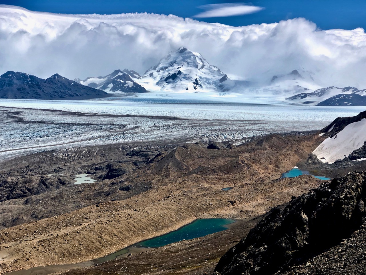
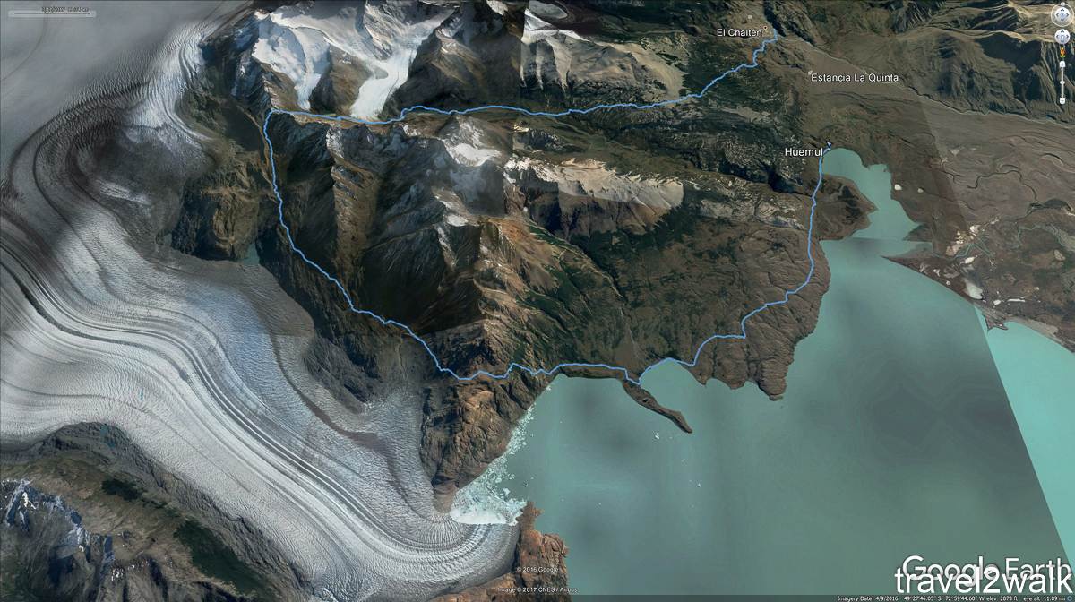
Here’s the whole circuit visiting the Southern Patagonian Ice Field.
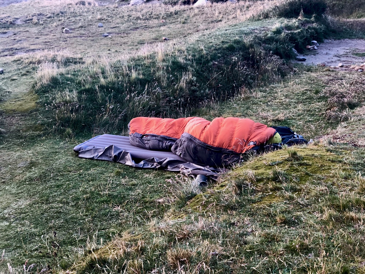
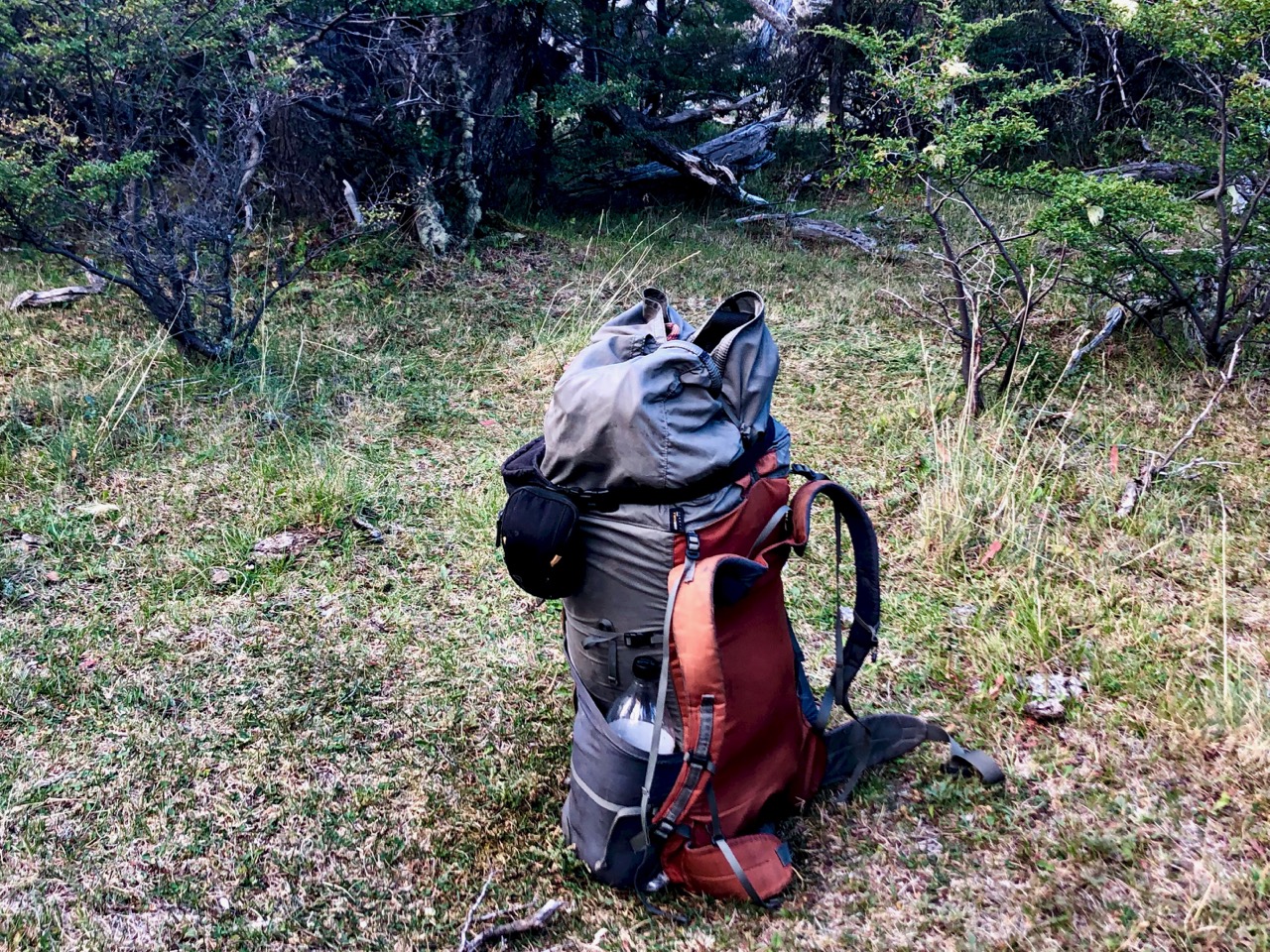
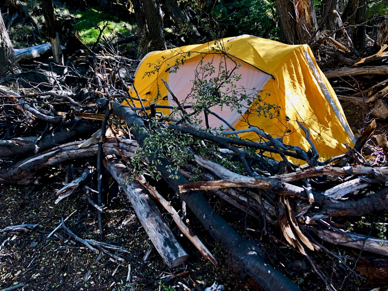
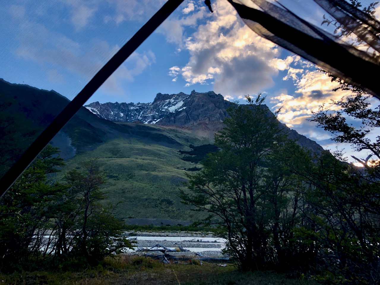
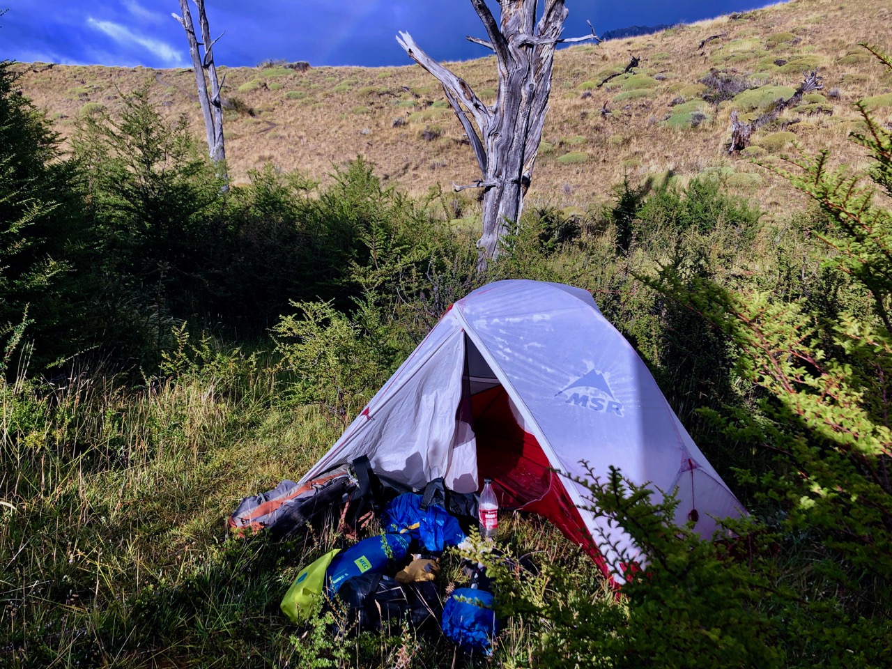
Very atypical for me, I didn’t sleep well.
And it rained on and off through the night.
Happily the sun came out about the time I got out of the tent.
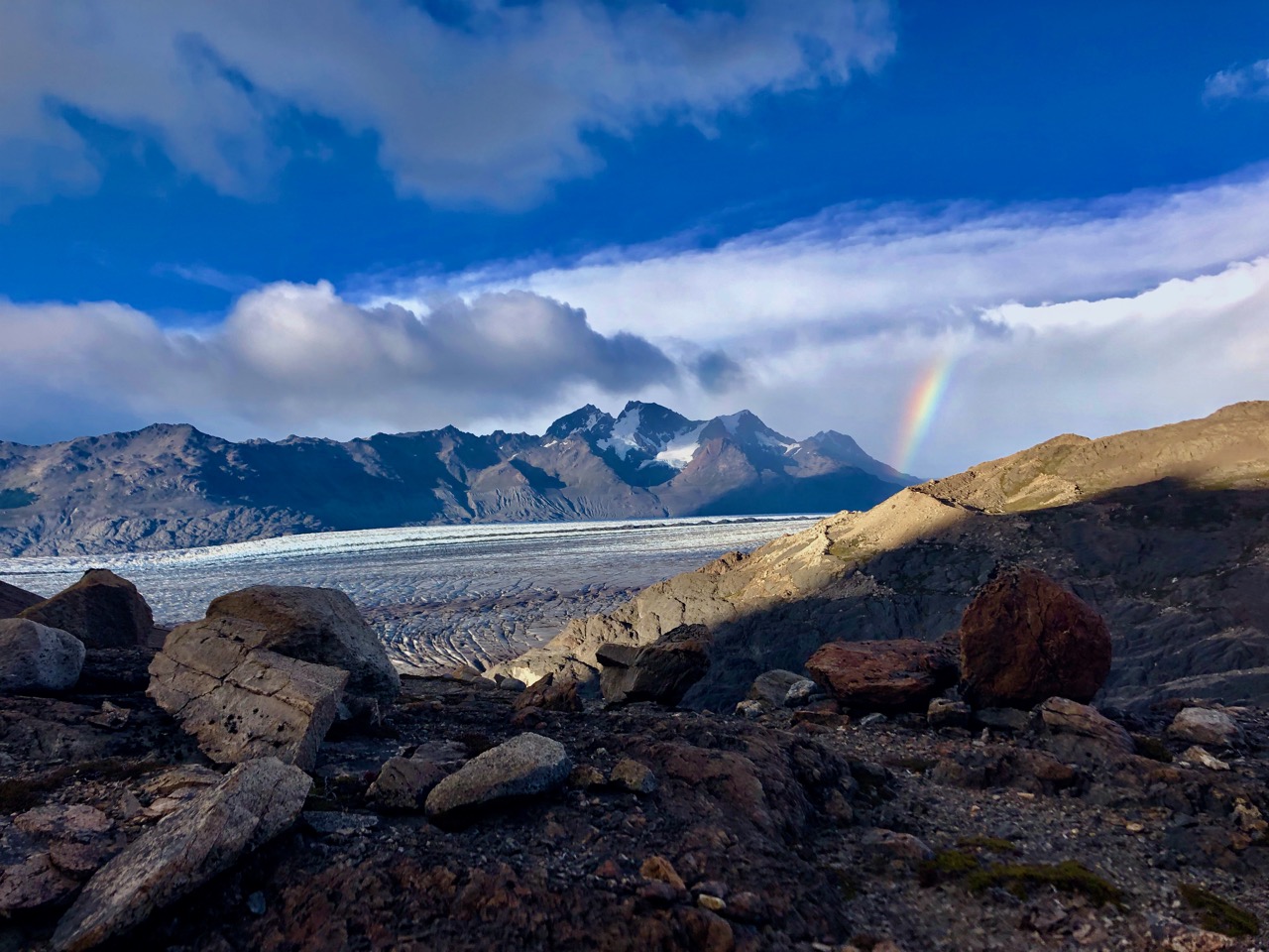
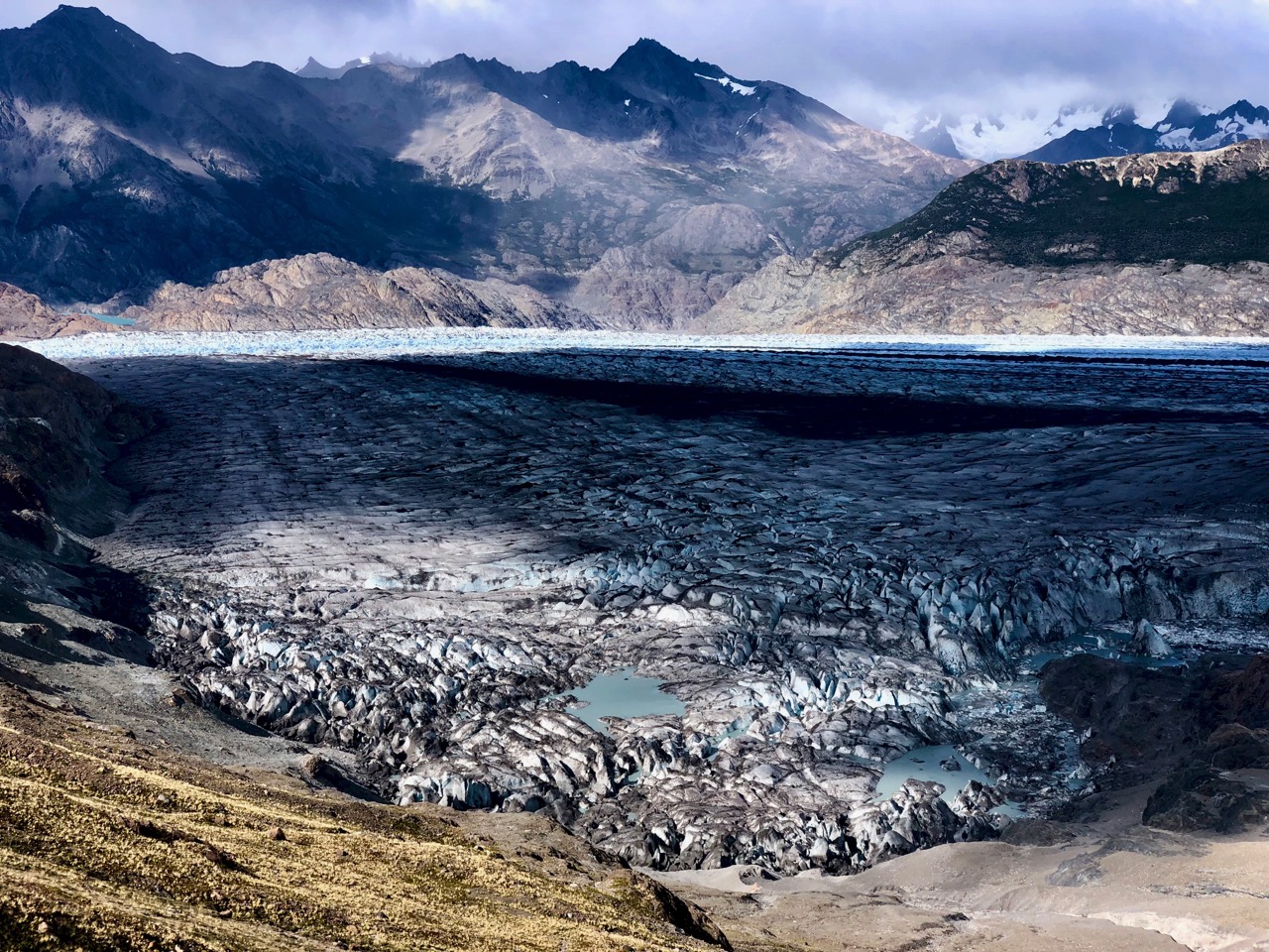
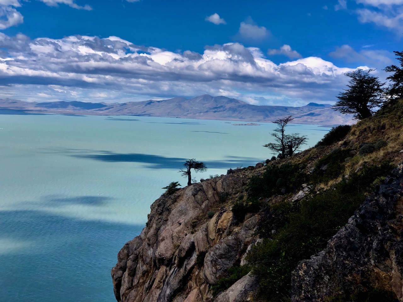
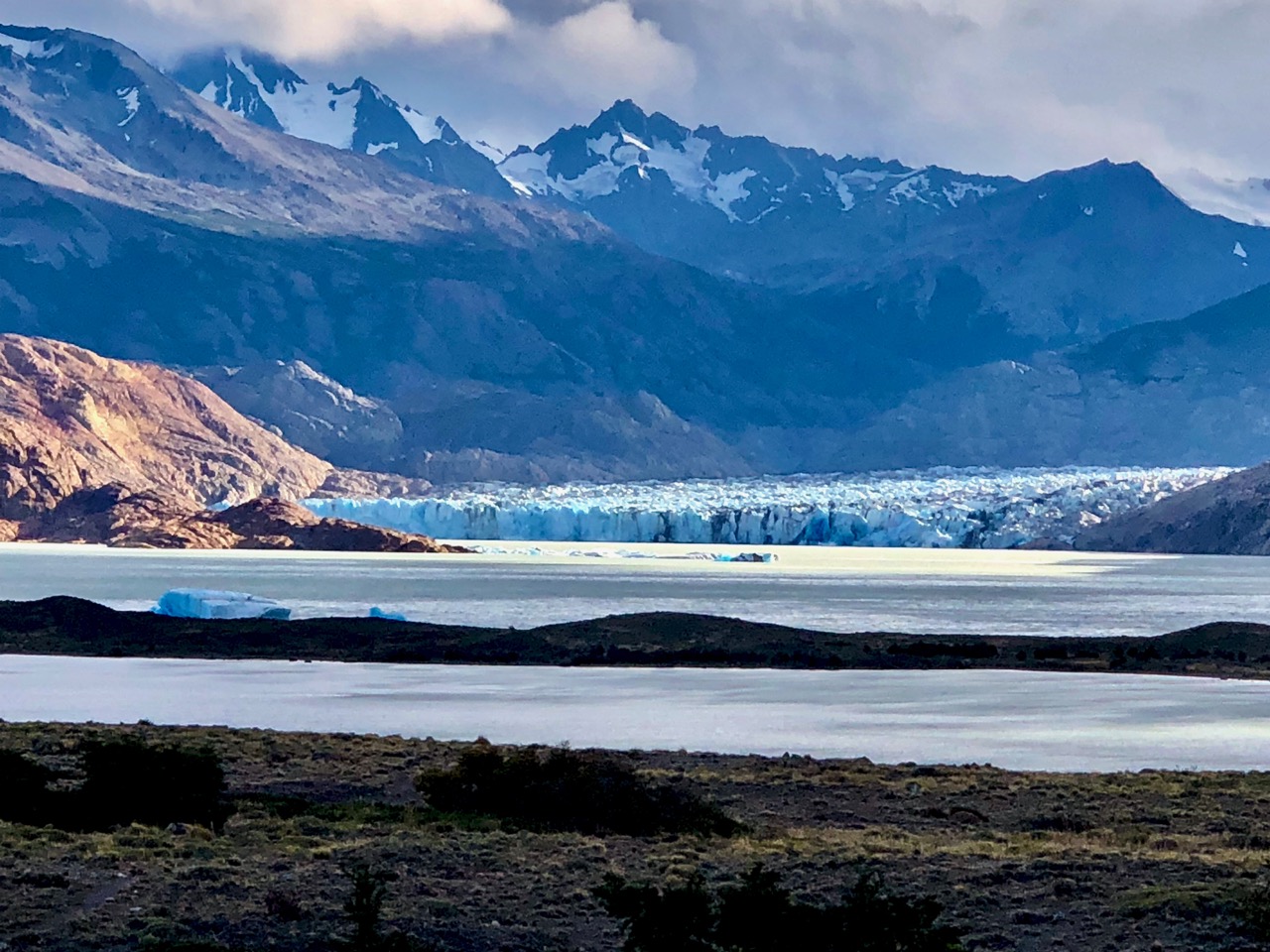
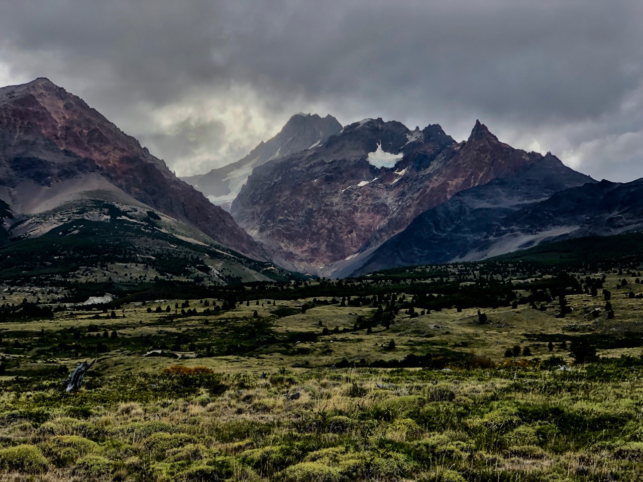
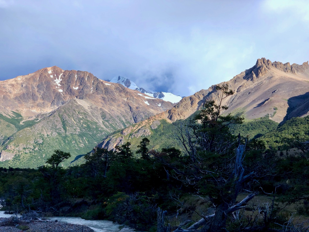
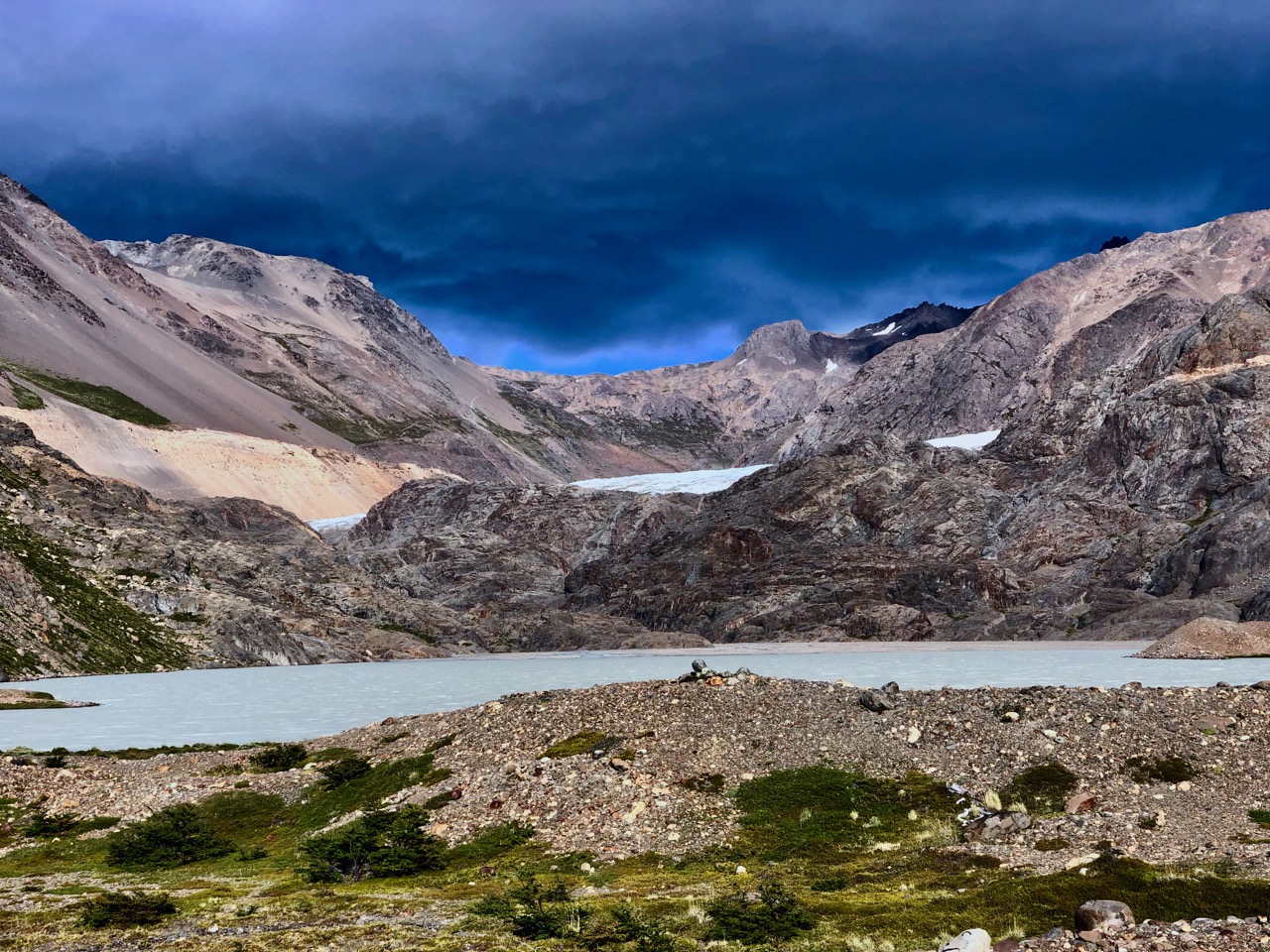
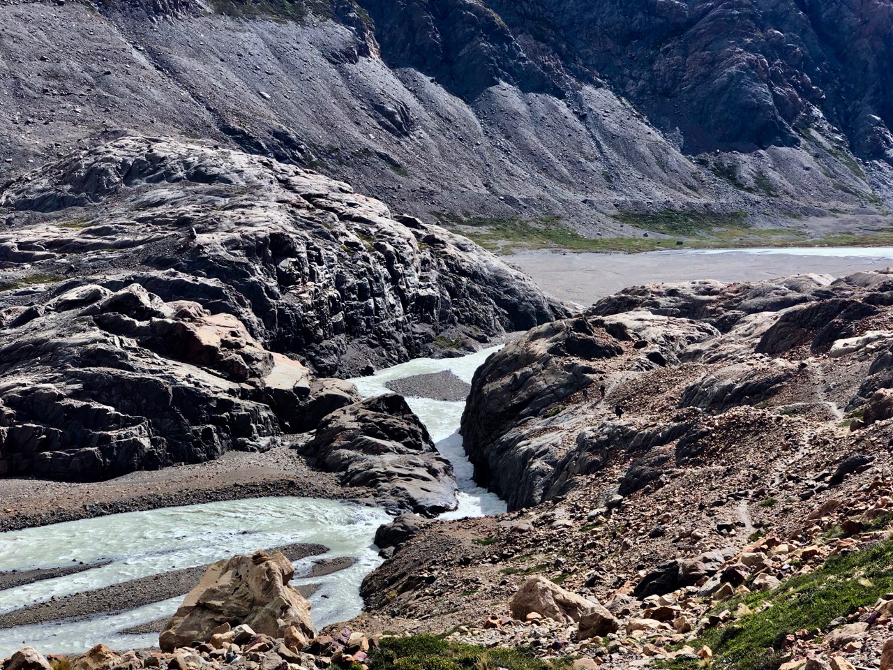
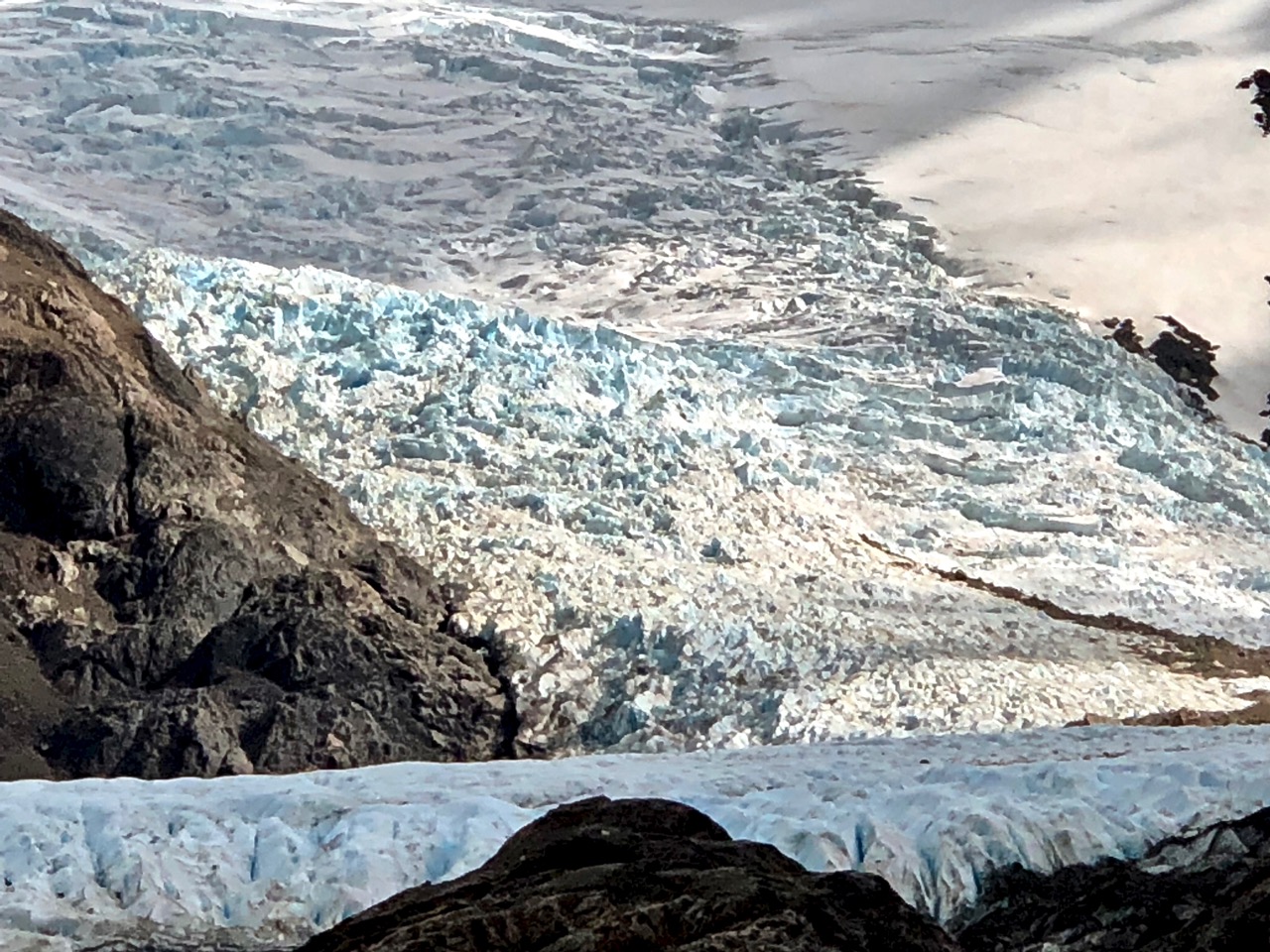
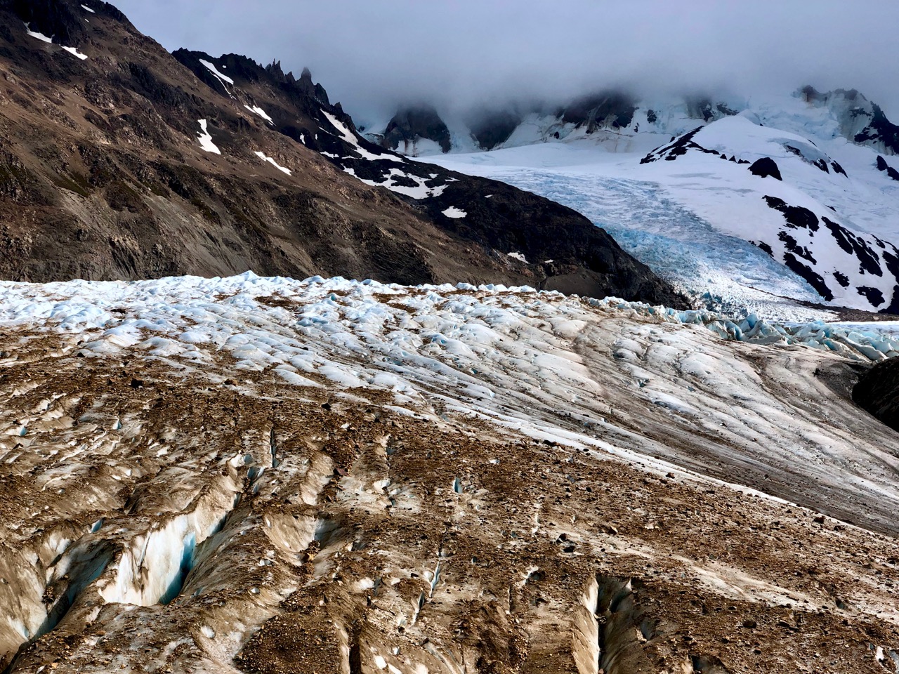
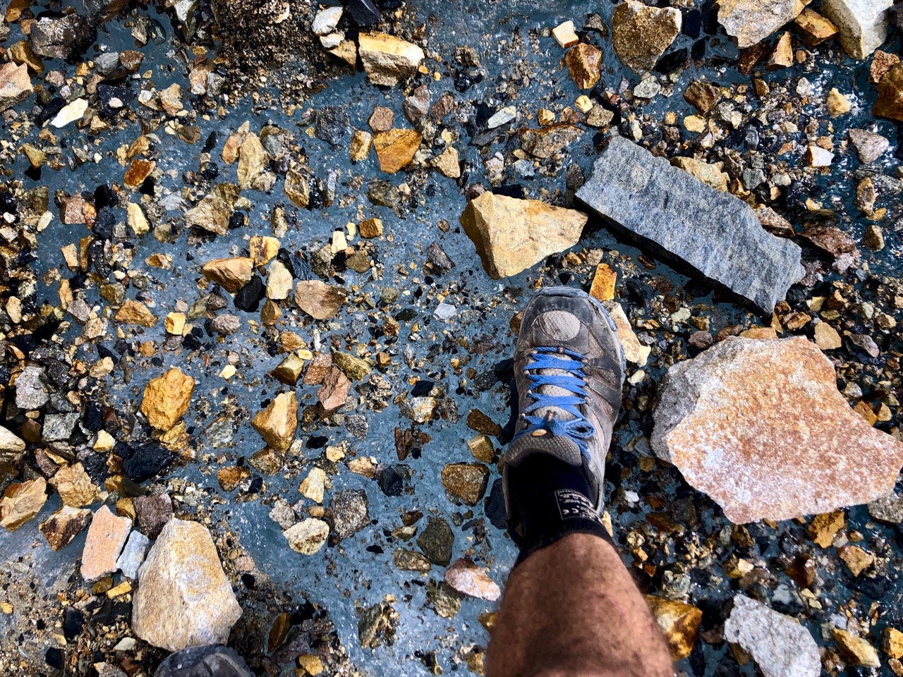
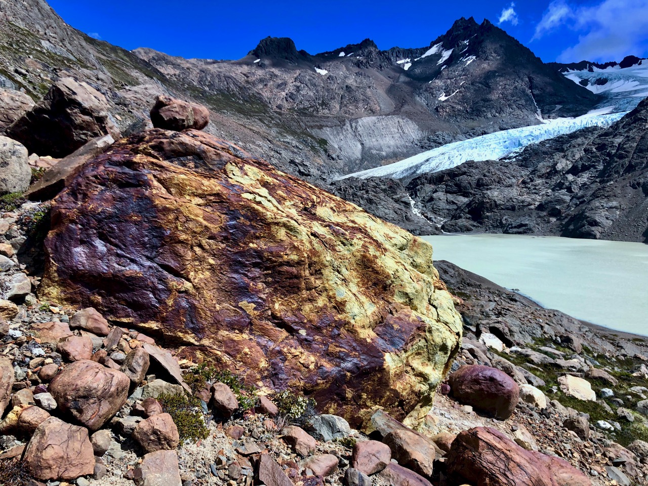
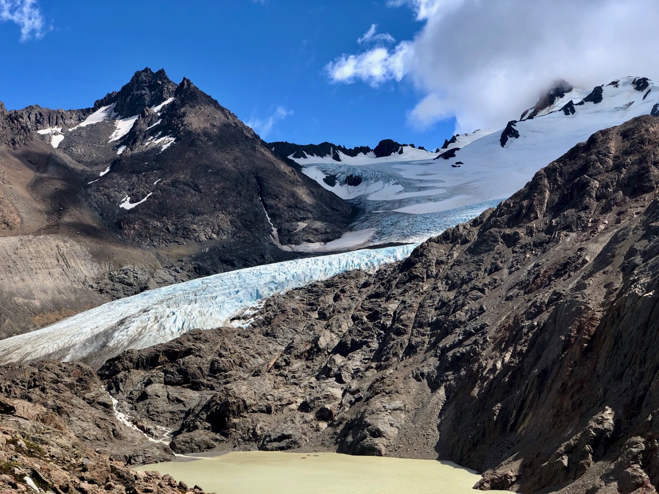
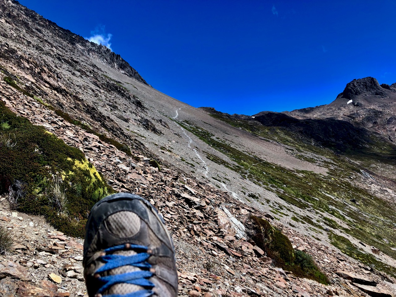
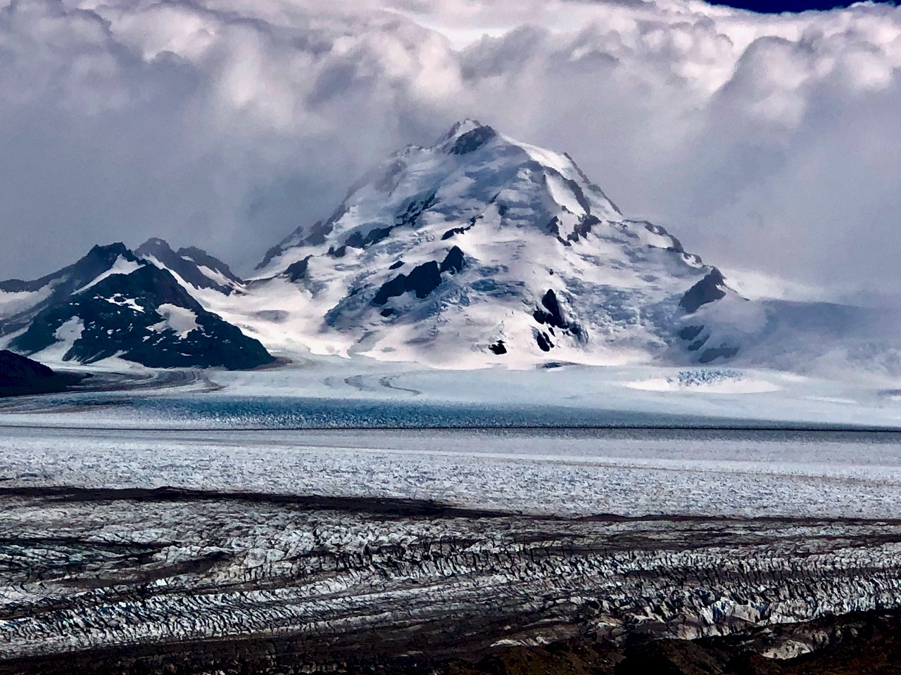
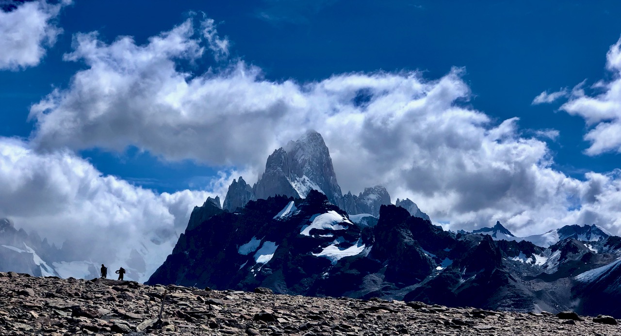
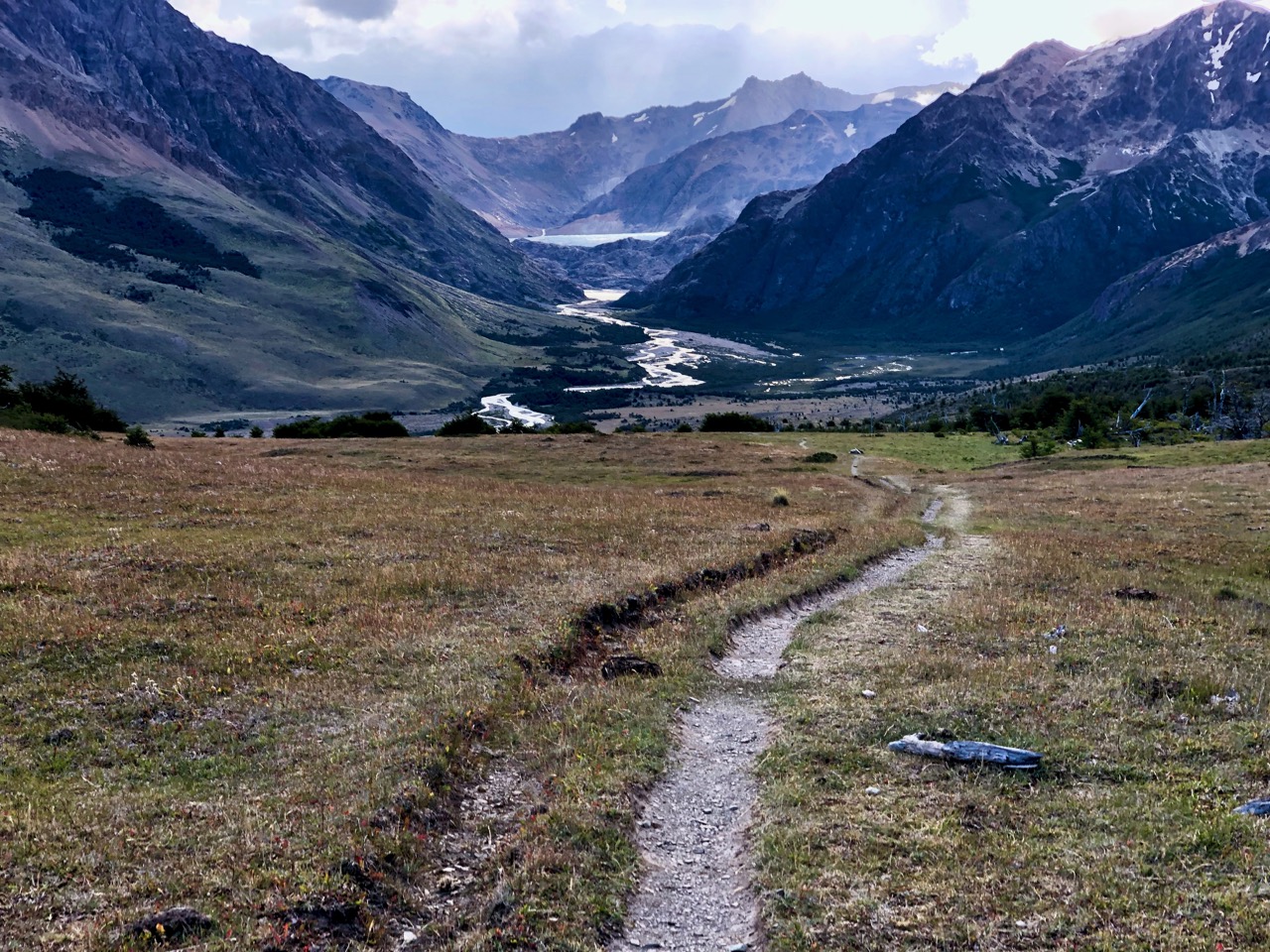
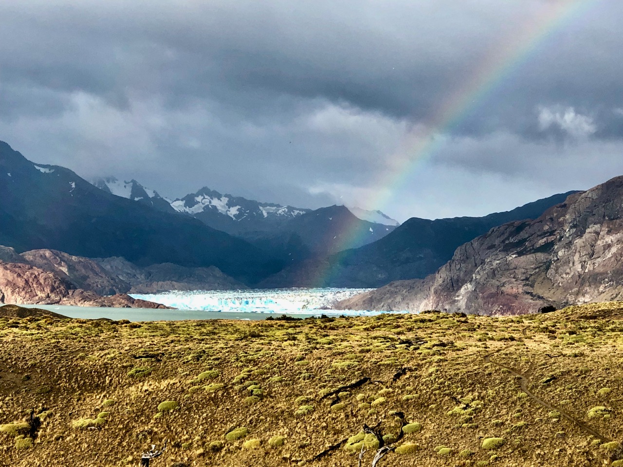
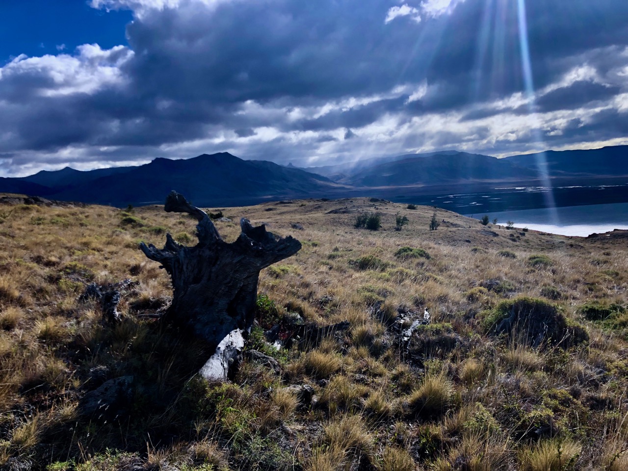
Despite my efforts of the previous day, I’d only saved about an hour by hiking past the designated campground. I could still see the glacier. And there was again a rainbow. 🙂
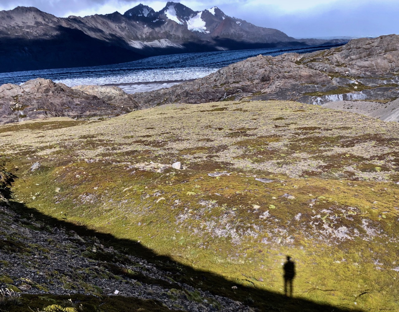
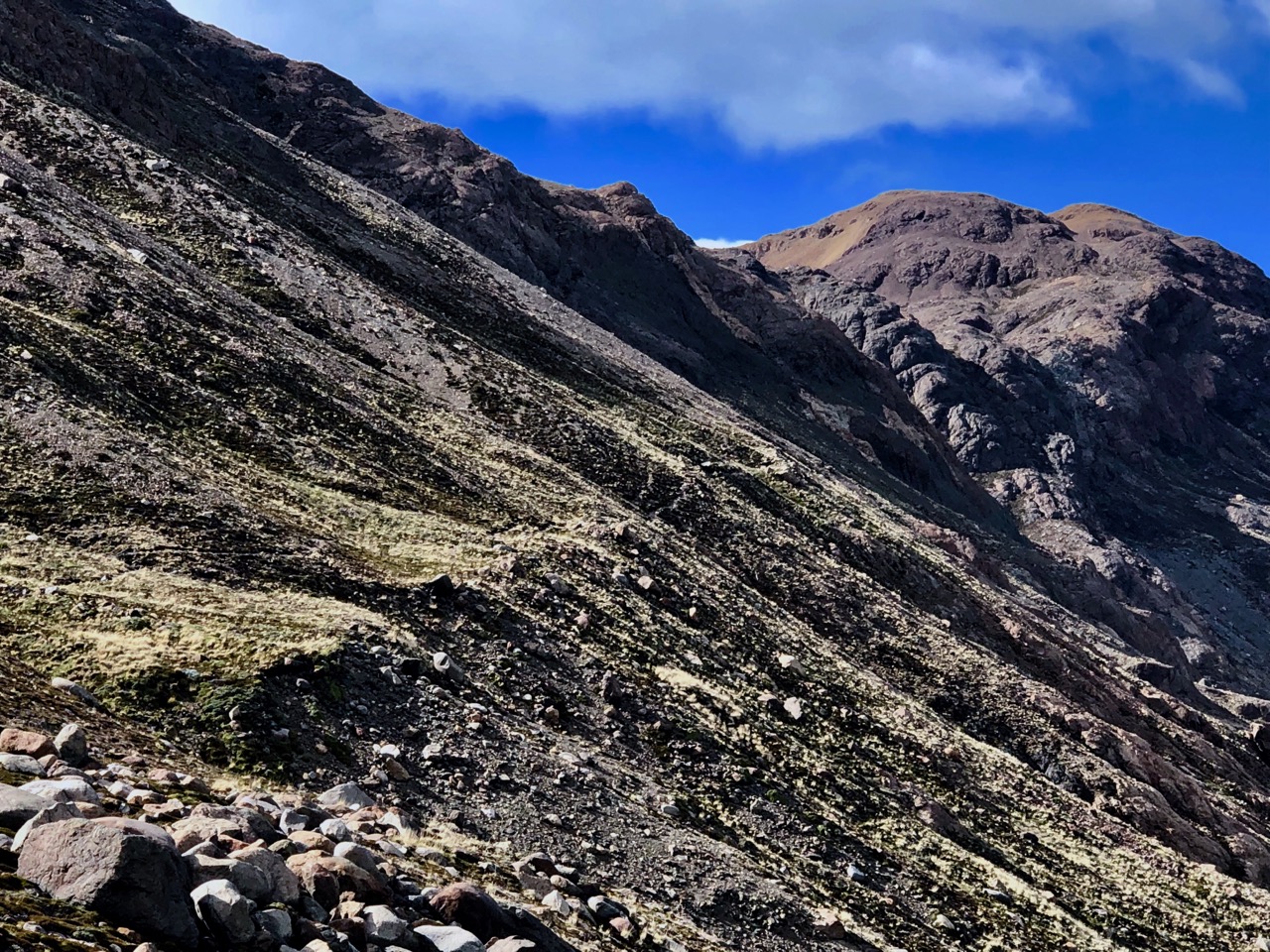
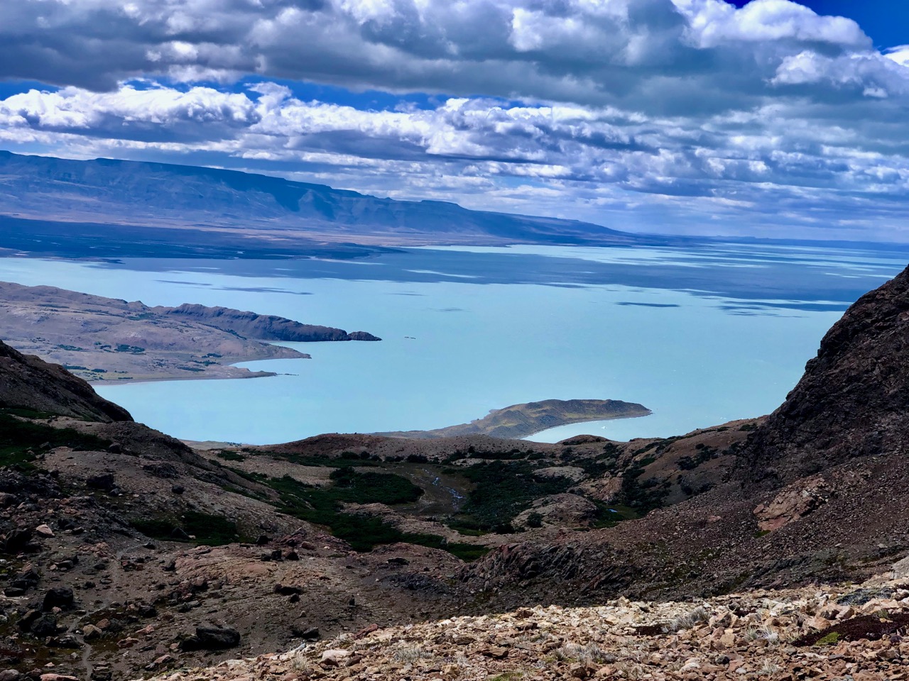
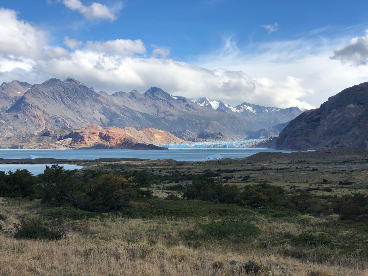
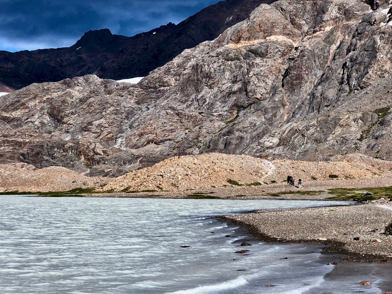
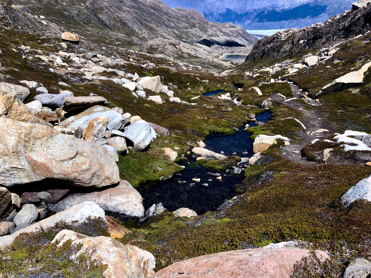
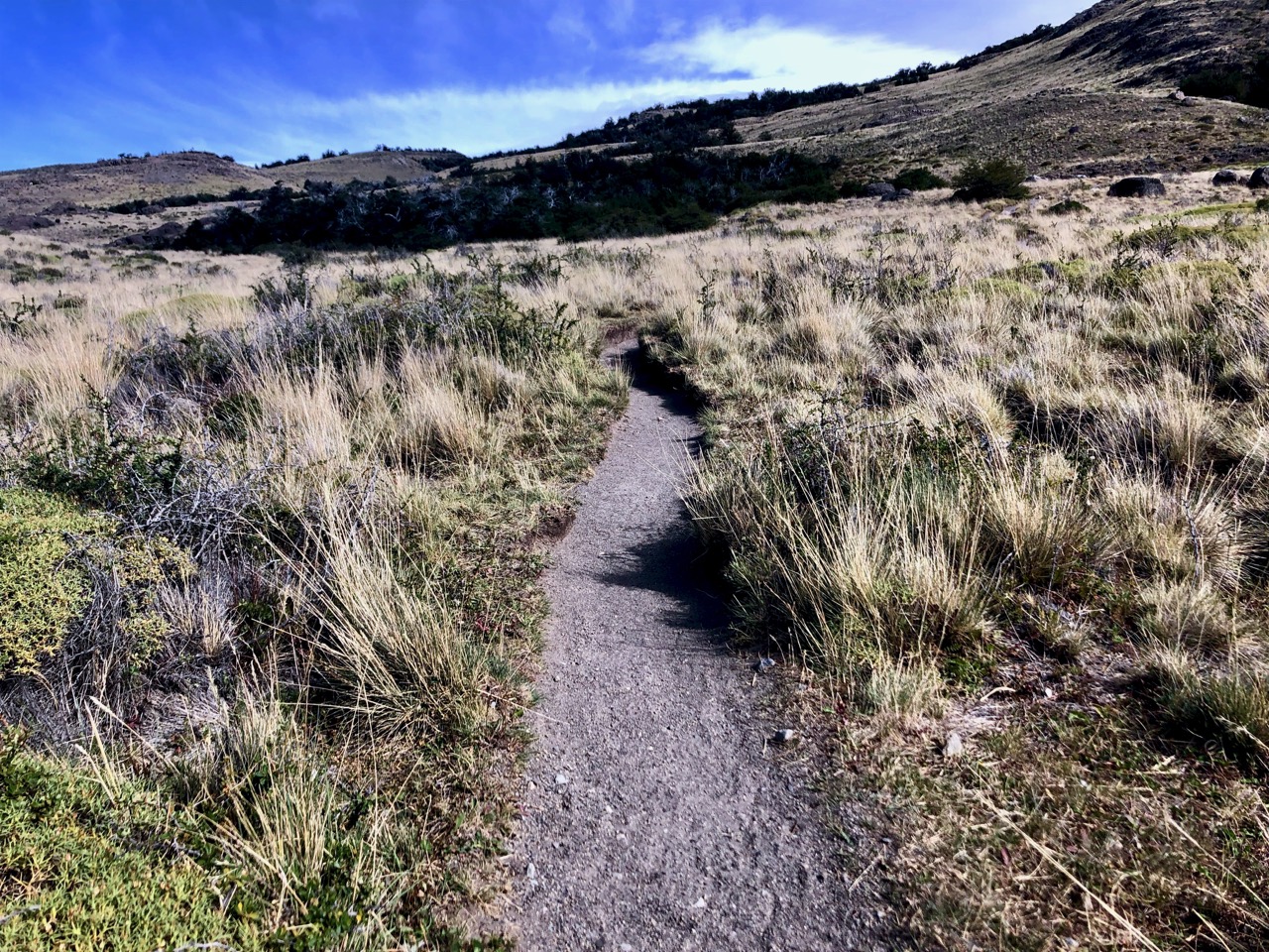
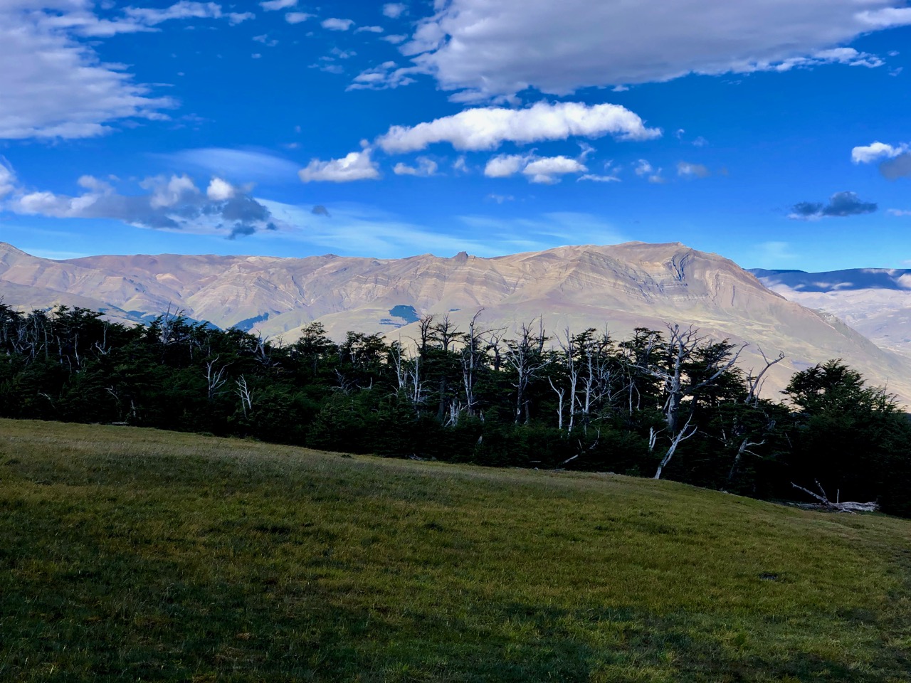
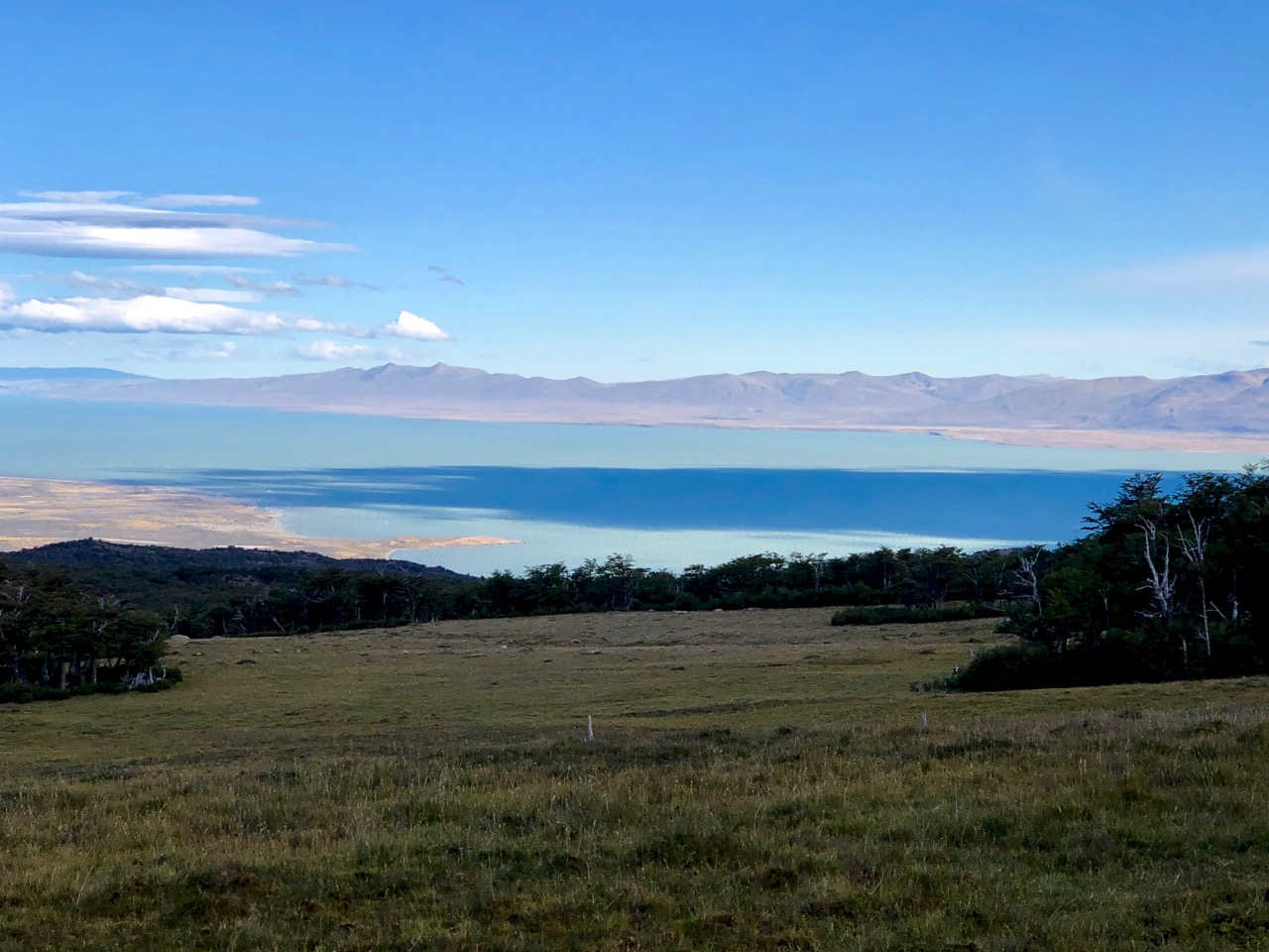
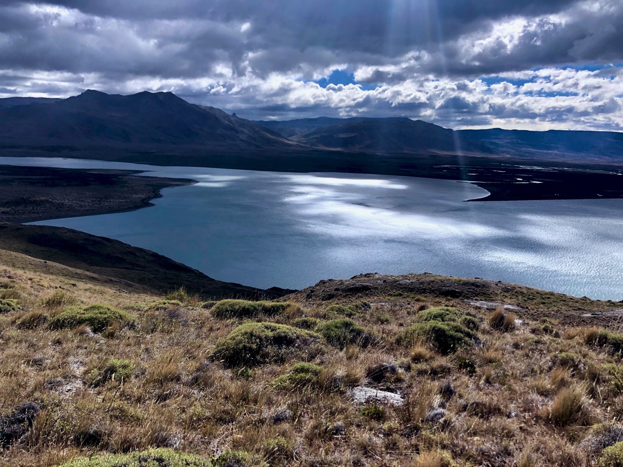
The trail continued in parallel to the Lake Videma shoreline thorough dry grasslands.
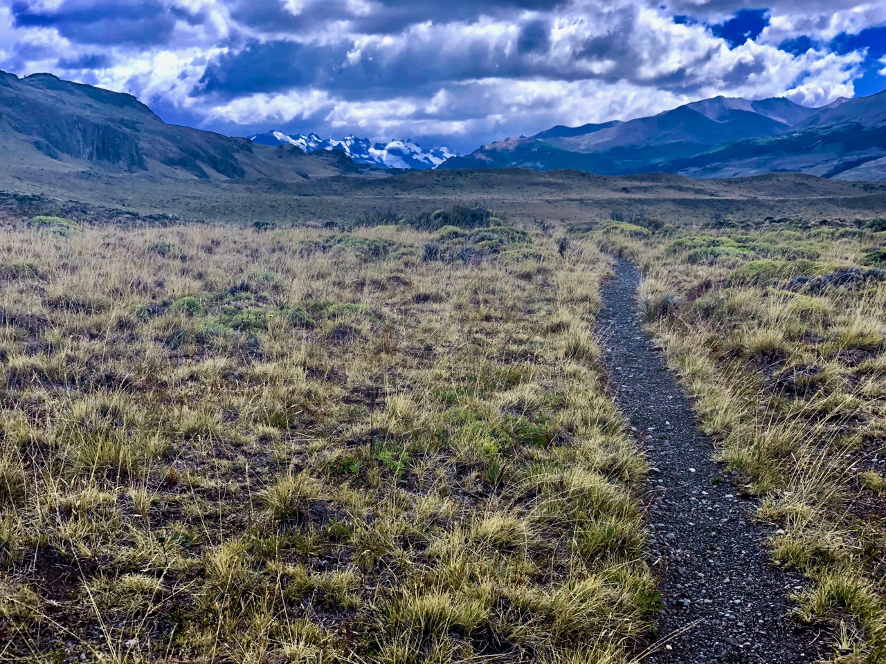
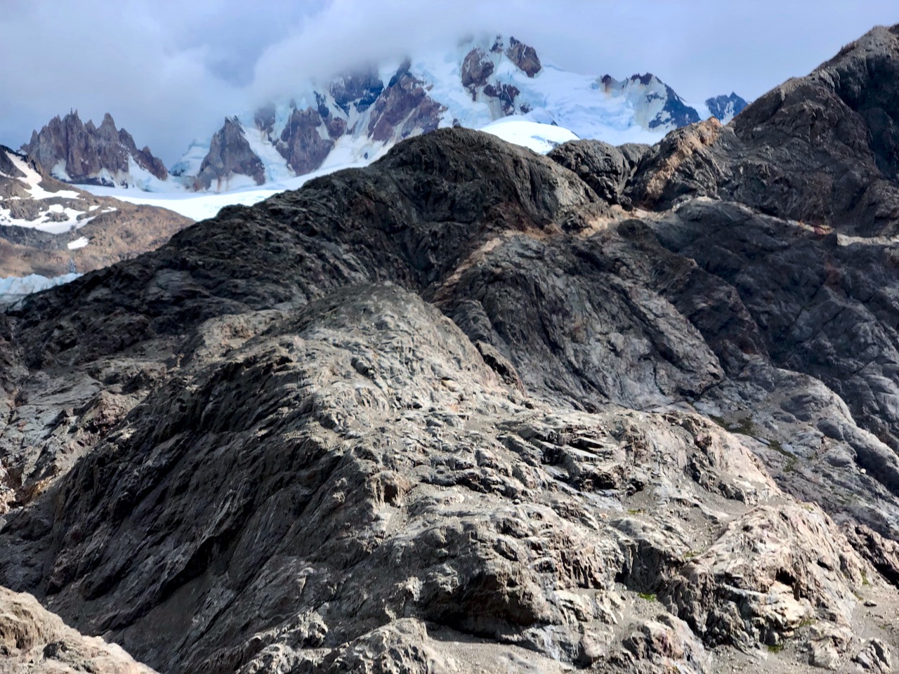
Though still beautiful, this was the least impressive day, I’d say. Not much variety.

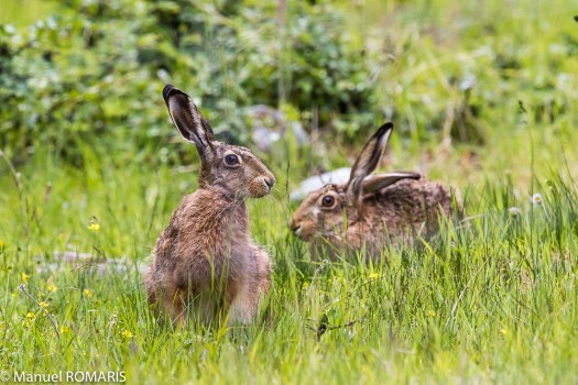
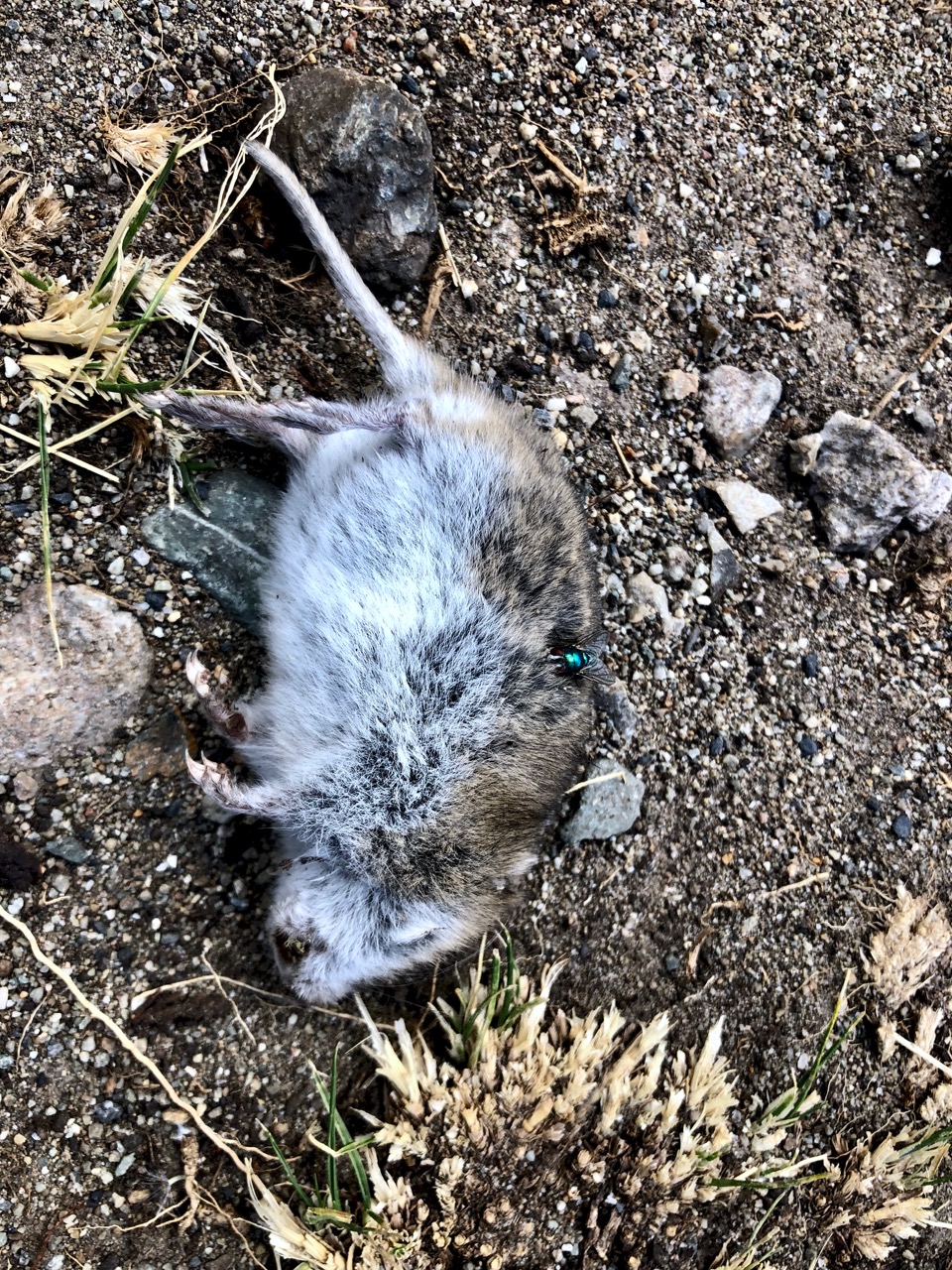
The highlight was rabbits more rabbits. And one non-rabbit. He may have been a Patagonian mara.
When I caught a glimpse I assumed it was a plains viscacha, but it was more likely a mara.
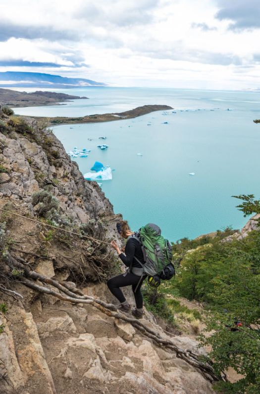
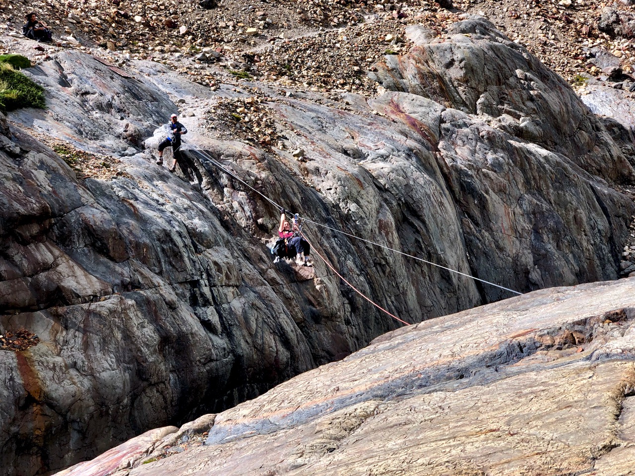
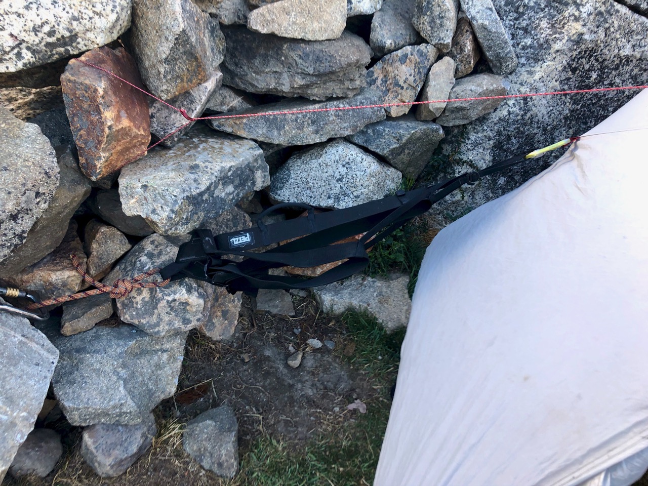
I was looking forward to the second Tyrolean Traverse.

Arriving alone, I found the pulley was at this, the far side of the river. 😕 There SHOULD have been a slim rope attached to pull it over to the start on the other side.

What to do?
I knew I could walk to the lake and (probably) wade the river mouth. But figuring a way across was more fun.
My alternatives:
1. Attach my pulley carabiner directly to the cable (rather than the pulley)
2. Use ONLY my steel carabiner (normally a redundant safety system). This is what the guide did once on our first Traverse.
I went with #1 thinking it was the safer option. That worked. But I had to pull myself every inch with friction from the carabiner resisting. It was exhausting.
Here are some guys wading.

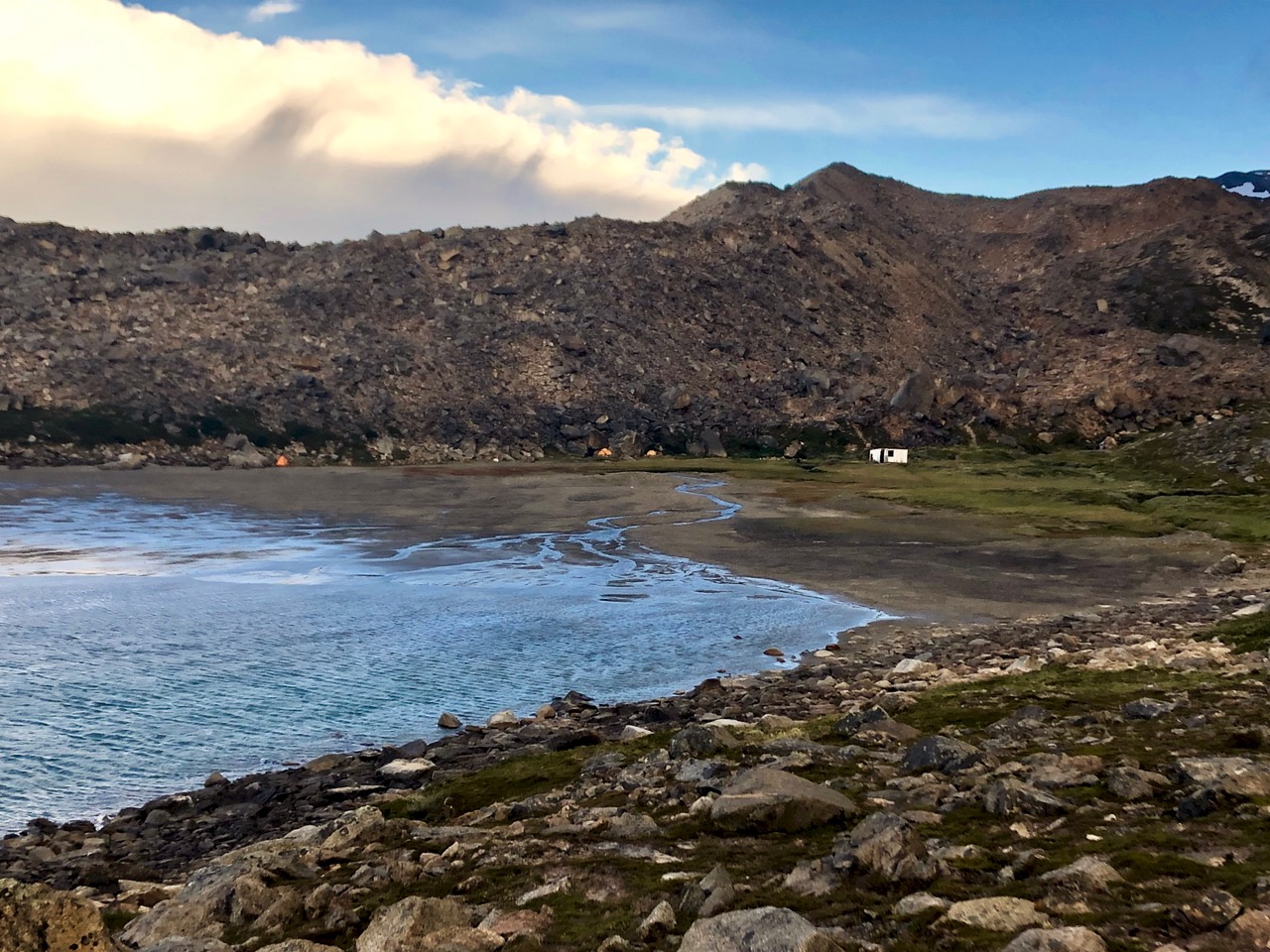
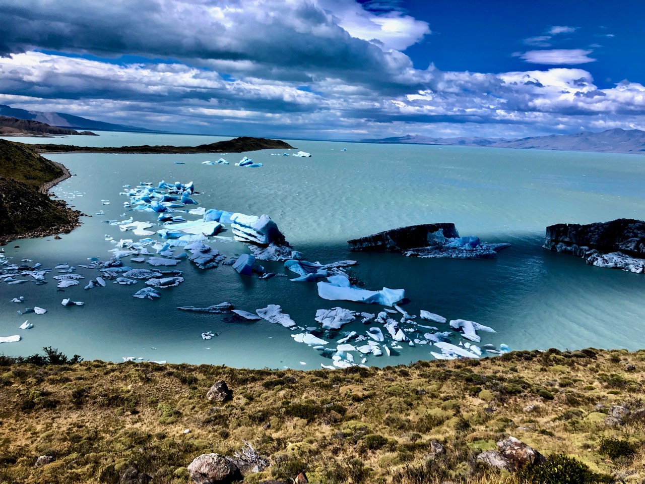
From there it was easy to find my way down to the Bahía Del Túnel dock.
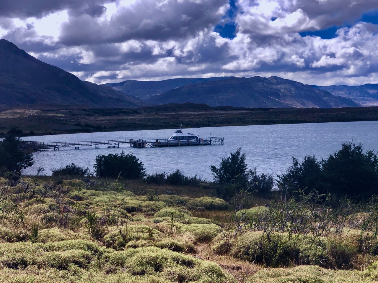
This boat takes tourists to the Videma glacier.
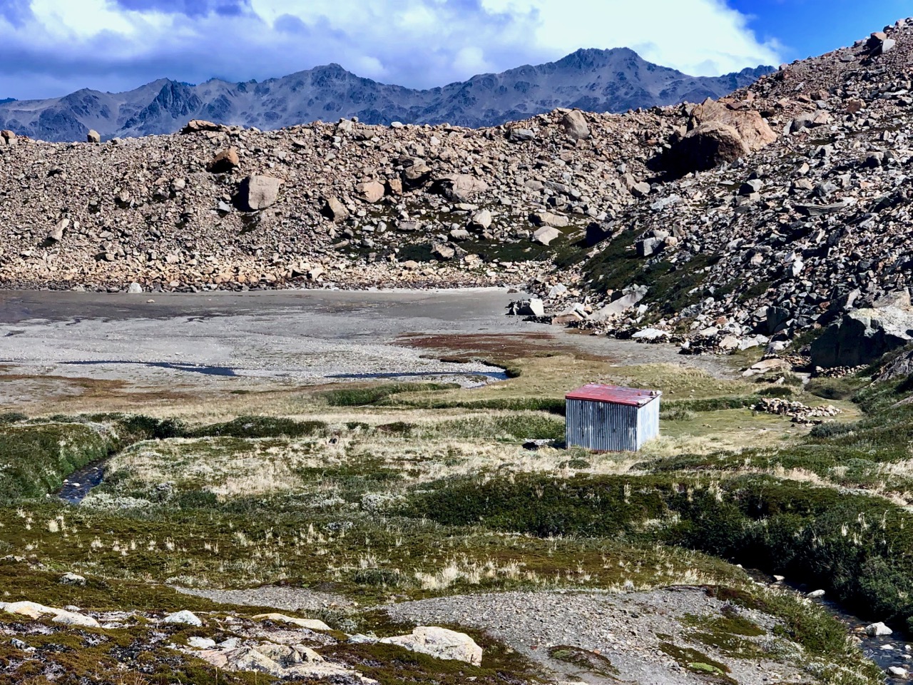
I saw no people. No vehicles. So stayed on the ‘trail’ headed towards a ranch.
Actually, my hiking map showed the trail ending at the dock. Some probably walk the (much longer) road to town.
I could find no trail. Instead I worked my way through more grasslands in the direction of El Chaltén.
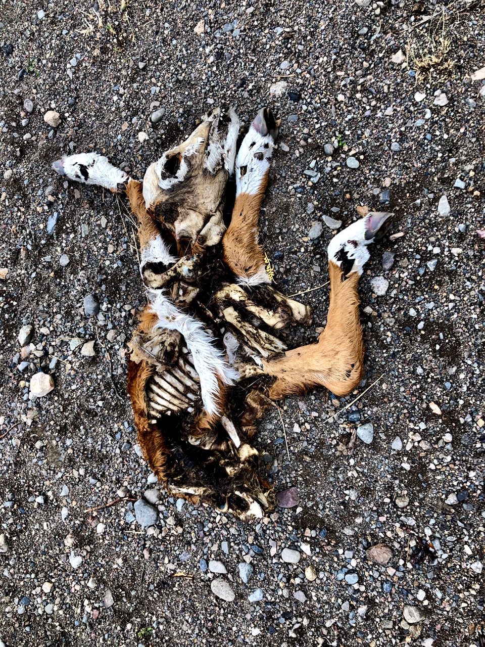
Ready to be done, I stumbled on to this calf. It was the second dead cow I’d seen.
When I hit the first fence, being a polite Canadian, I tried to walk around the ranch.
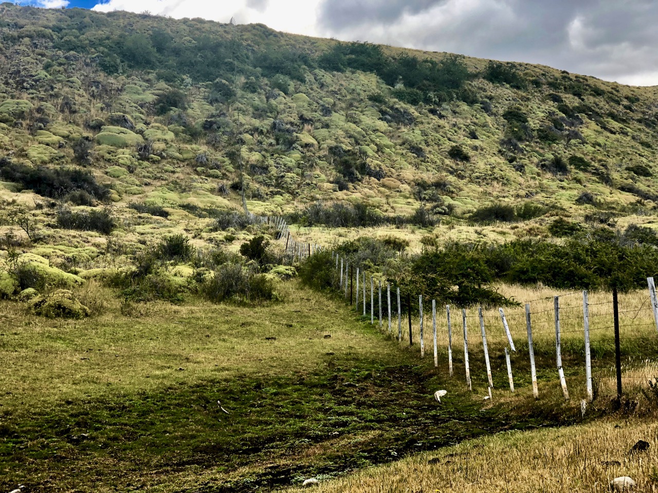
That was a mistake. In the end I hopped about 5 fences and opened one gate. It wasted at least another hour. I should have hopped the first fence and headed directly to the highway.
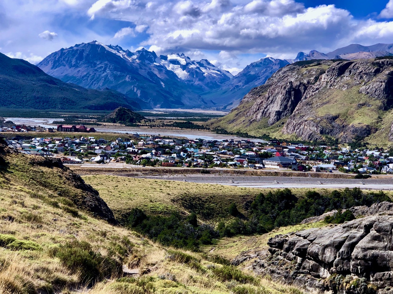
It was with satisfaction and relief that my final fence hop delivered me to this roadside lookout.
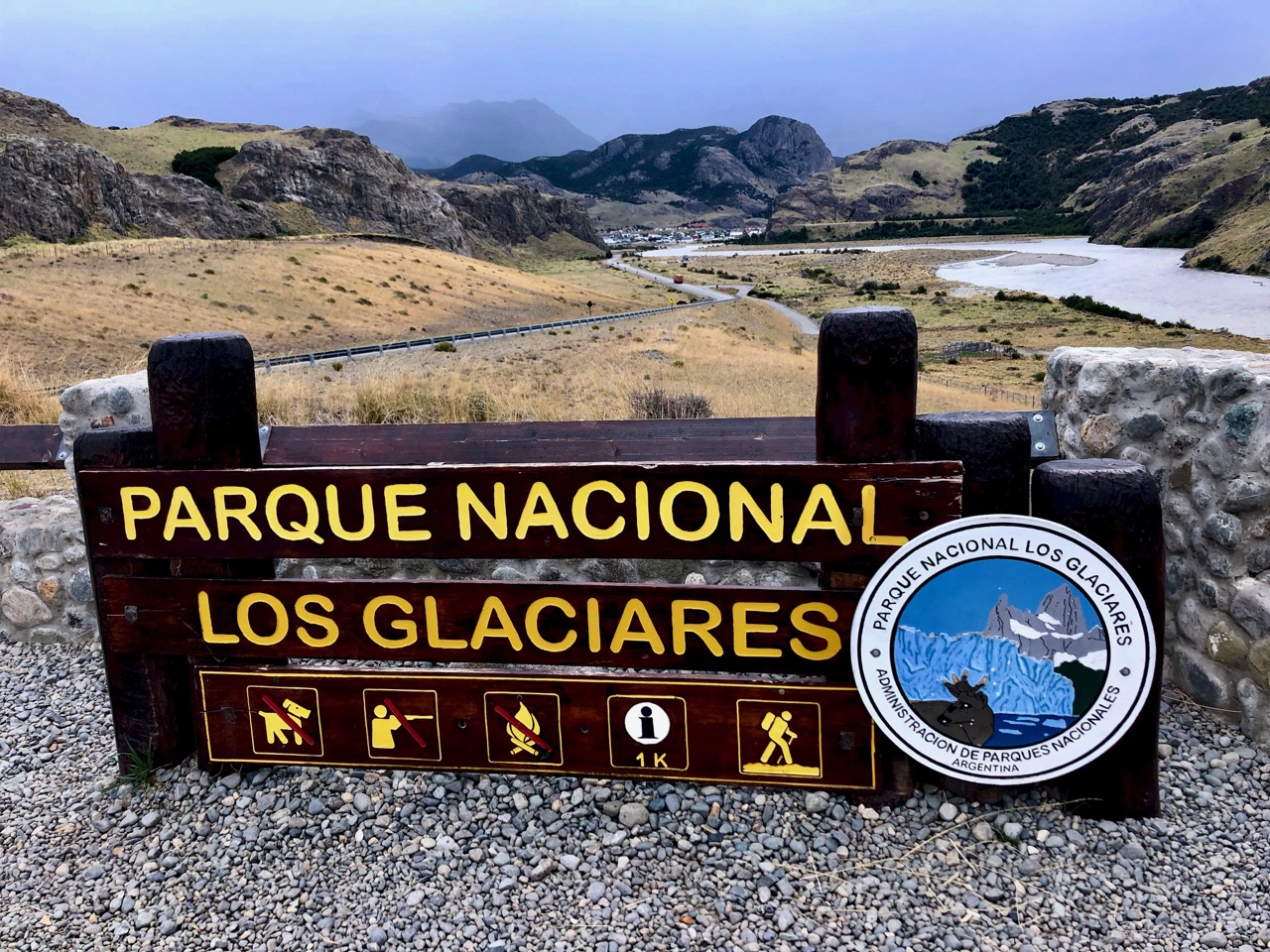
From there was an easy 3km to town on pavement.
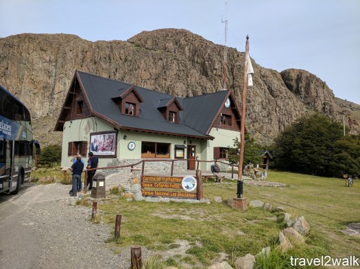
I dropped my registration form at the Parks information office. They seemed happy to see I had survived.
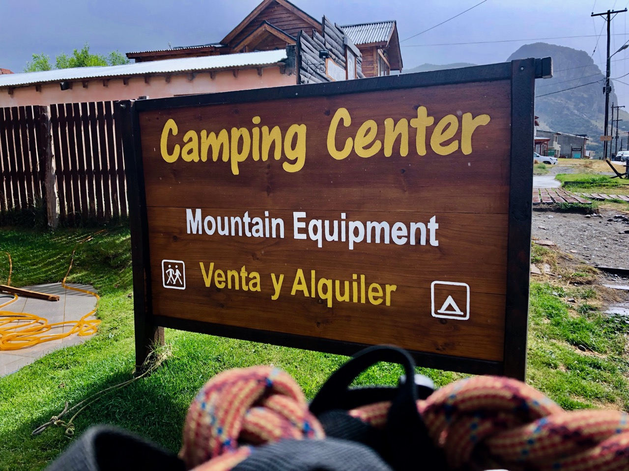
With a big smile on my face I returned my rental Tyrolean Traverse harness to ‘Camping Center’ in town. That was the only gear rental store I could find that doesn’t close for siesta.
It was back to the hostel for a long, hot, long shower. 🙂
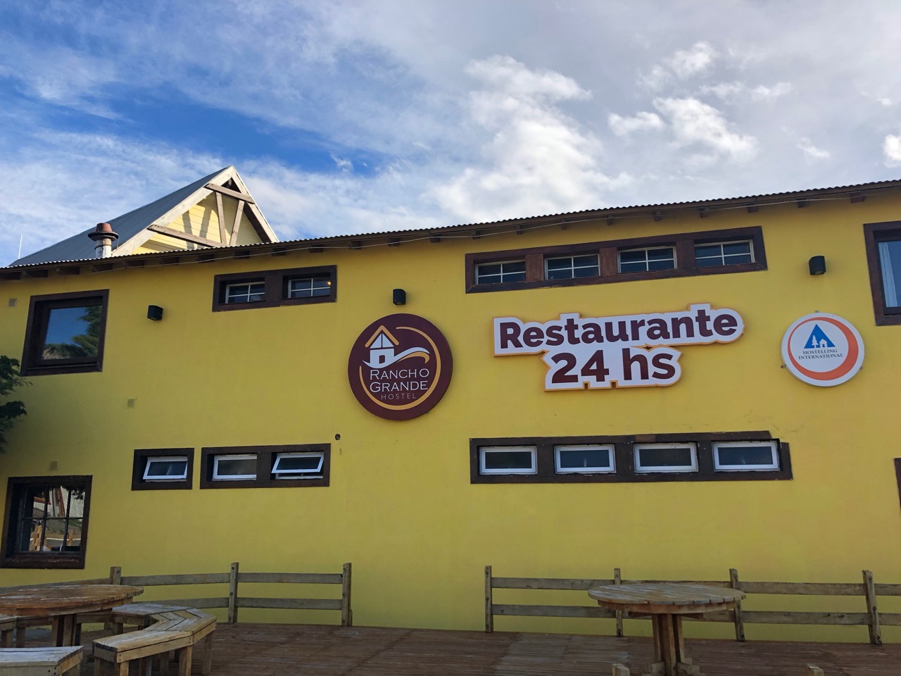
YES my hostel had a 24 hour a day restaurant! It’s popular with the late night partying backpacker crowd.
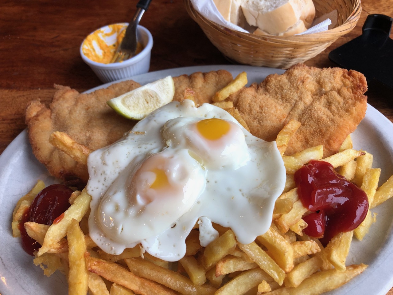
All I’d consumed this day was coffee. At 6:30pm I splurged on a huge meal. Breaded chicken a lo pobre.
The Huemul Route out of Fitz Roy, Argentina is superb. Some of the best vistas of my life. One of the very best hikes in the world.
____
If you are worried at all about the Traverses … and navigation, consider signing on with a guided group. Chalten Mountain Guides, for example.
related:
For a MUCH BETTER trip report – Travel 2 Walk: El Chaltén – Fitz Roy and Huemul Circuit, March 2017. (They did it again January 2019!)
bookmundi – Argentina 2019 – Huemul Circuit Parque Nacional Los Glaciares of Argentine
If you prefer your trip reports in video format, here are a few to check out.
Click PLAY or watch it on YouTube.
Click PLAY or watch it on YouTube.
Click PLAY or watch it on YouTube.