
Trip report by BestHike editor Rick McCharles.
I’d previously hiked two other sections of the (roughly) 180km Sunshine Coast Trail:
Sarah Point to Manzanita hut (2015)
Mowat Bay to Lois Main (2016)
Pestered by wasps and other biting insects on those two earlier trips, I deliberately returned late season. No bugs.

This time I headed for the Troubridge Trudge section:
Oct 24 – Lang Bay to Golden Stanley hut (km 145)
Oct 25 – Golden Stanley to Mt Troubridge hut (km 158)
Oct 26 – Troubridge to Fairview Bay hut (km 173)
Oct 27 – Fairview to Lang Bay (km 180)
You can hike 42km in either direction. It’s called the trudge as this is the highest section of the Sunshine Coast Trail.

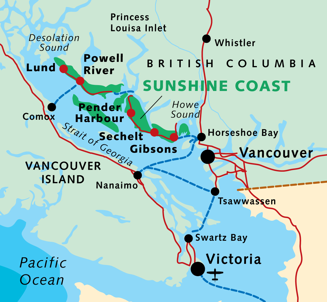
More maps.
Having reached the Sunshine Coast via ferry from Comox, I stayed in a Powell River hotel.

Weather forecast looking good next morning, I cycled down to Lang Bay.

A lovely autumn day.


Hid my bike in the trees close to the highway near Lang Bay.
Walked the gravel road called Canoe Main to join the Sunshine Coast Trail on Lois lake. (I could have walked Lois Main, the older road.)

Lois lake was created by a dam.

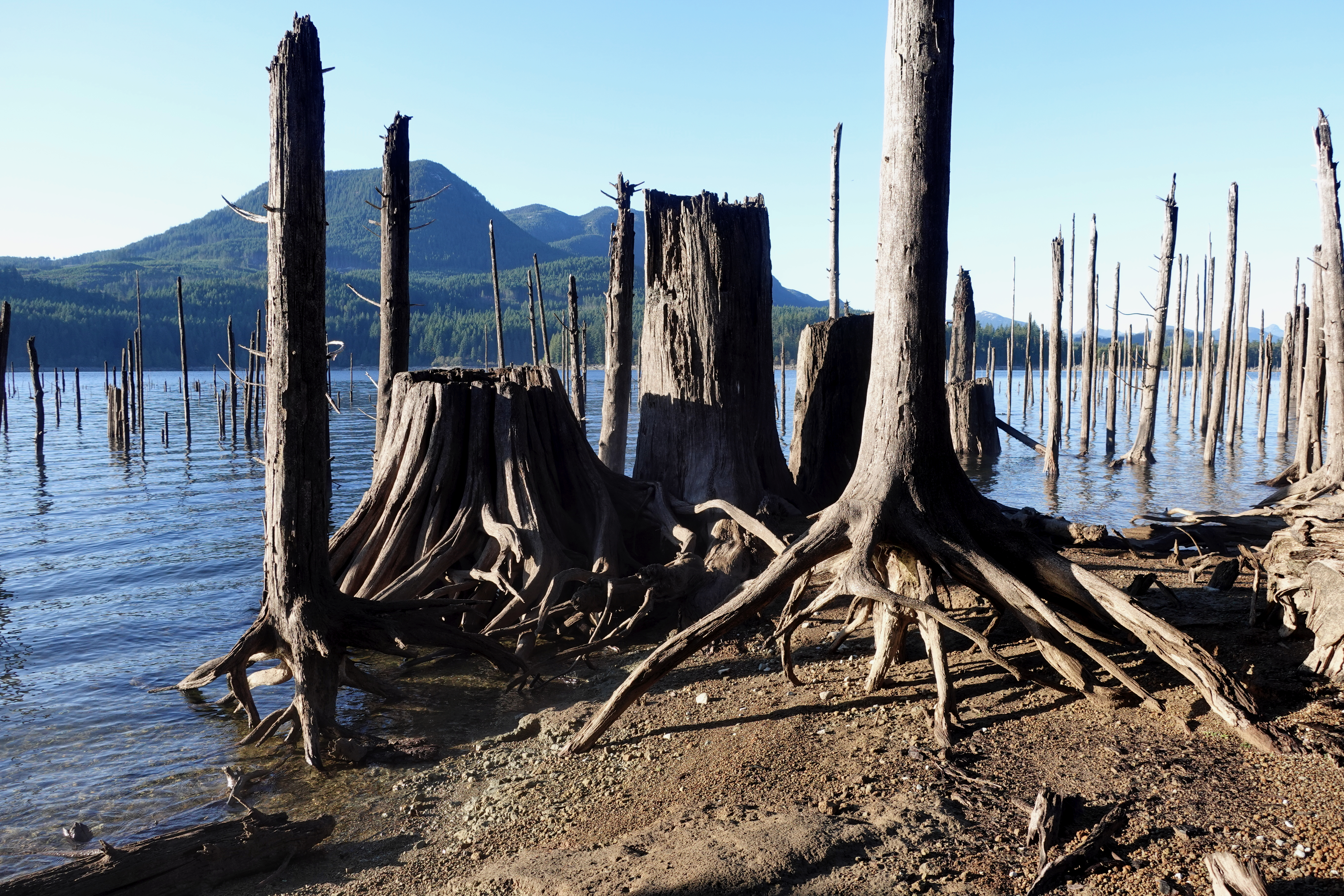
The mountains beyond the lake look tempting.

You eventually turn uphill inland on a trail towards Elephant lake.

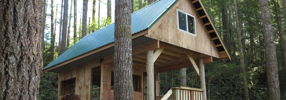
It’s steep but not all that far to Golden Stanley hut, completed 2016. It’s not mentioned in my guidebook published 2013, of course.
I was carrying my tent as I’d seen online that the huts were closed due to COVID-19.
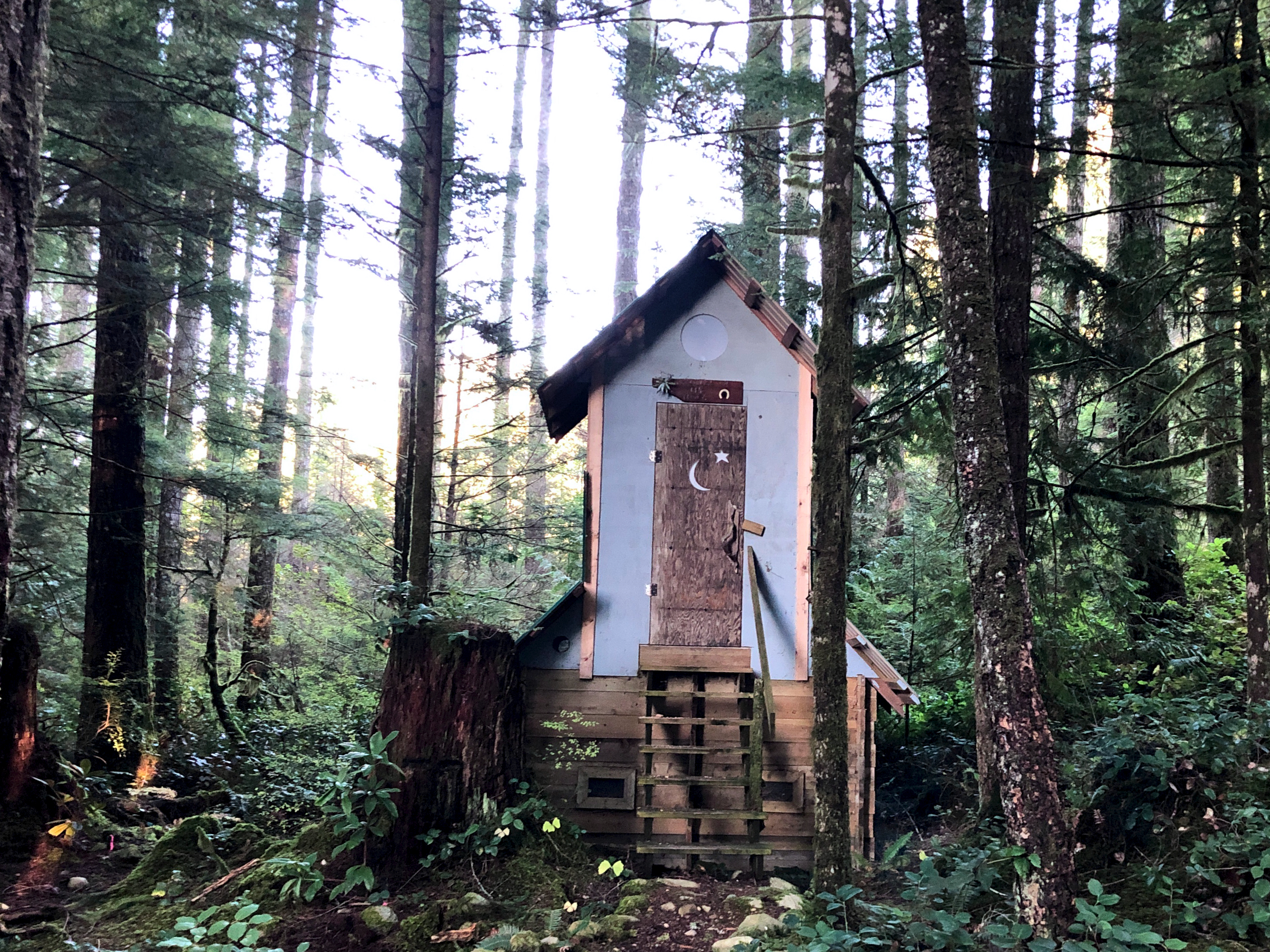
But the hut was open after all. Since I was the only person there, I moved in.
Impressive pit toilet.
Oct 25 – Golden Stanley to Mt Troubridge hut (km 158)
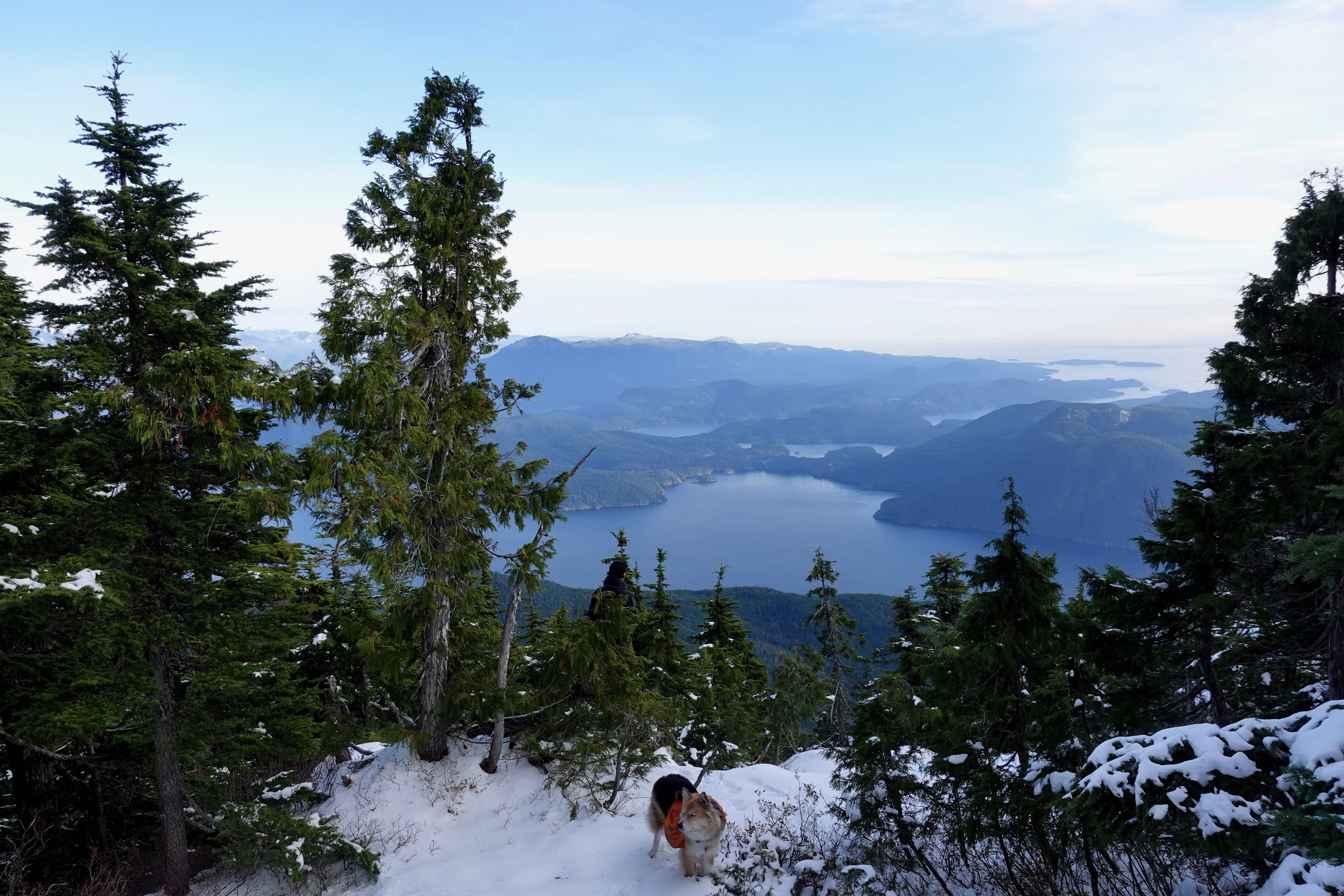
Mt Troubridge is the highest point on the Sunshine Coast Trail. I was happy to have good weather.
On the other hand, surprised to see snow at such low elevation in October.

It was Ho Ho Ho. 😀

In 2020 everyone takes the newer of two possible trails to the summit. The best route is always well signed.
I still easily reached Troubridge hut by early afternoon.
Here’s how it looks in summer.

And here’s how it looked when I arrived.

Mt Troubridge hut was flown up in pieces by helicopter.
It replaced the Troubridge Hilton, a small communications hut that’s now more used as an emergency shelter on the top of the mountain.
I assumed I’d have Troubridge hut to myself again when Chris and his dog arrived. Rather than sharing a small space, Chris took the A-frame. I stayed in the hut on my own.
He had the views of Jervis inlet and could see all the way to Powell River.

Turns out winter camping is quite comfortable — when you can sleep in a hut rather than a tent.
I took plenty of winter wonderland video. And later managed to accidentally delete most of it. Somehow. 😕

Oct 26 – Troubridge to Fairview Bay hut (km 173)
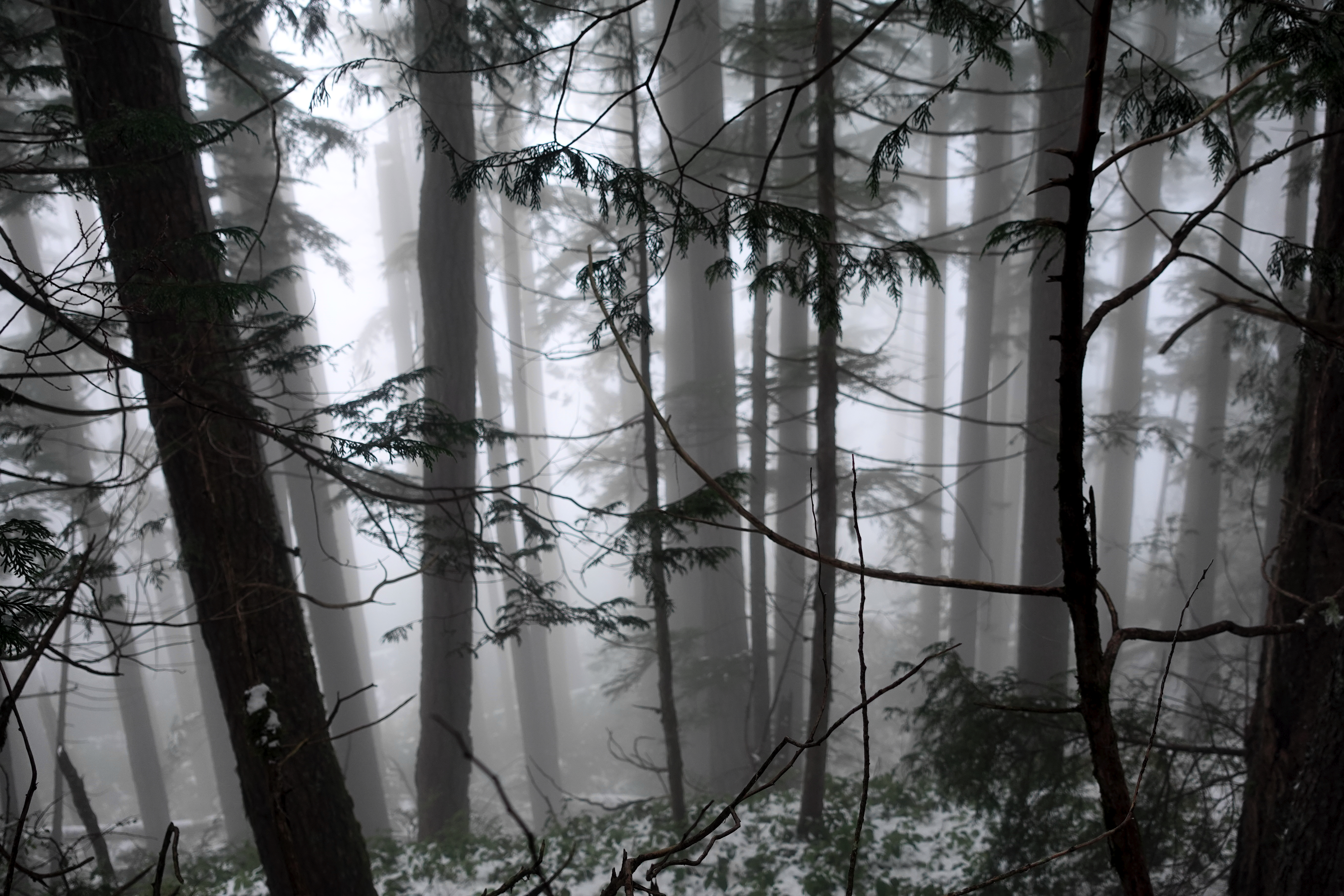
More good weather. I was worried the descent might be slippery, but new snow was mostly grippy. No problems in approach shoes.
Navigation no problem in winter either.

I stopped 800m lower for lunch at Rainy Day lake (km 169) which has a hut.

Winter hiking is much different than doing the same thing in summer.

Eventually snow disappeared. Went away. Like magic. 😀
It got easier on the way down to Fairview Bay.
Again I had the hut to myself.

And again I had plenty of time for photos.

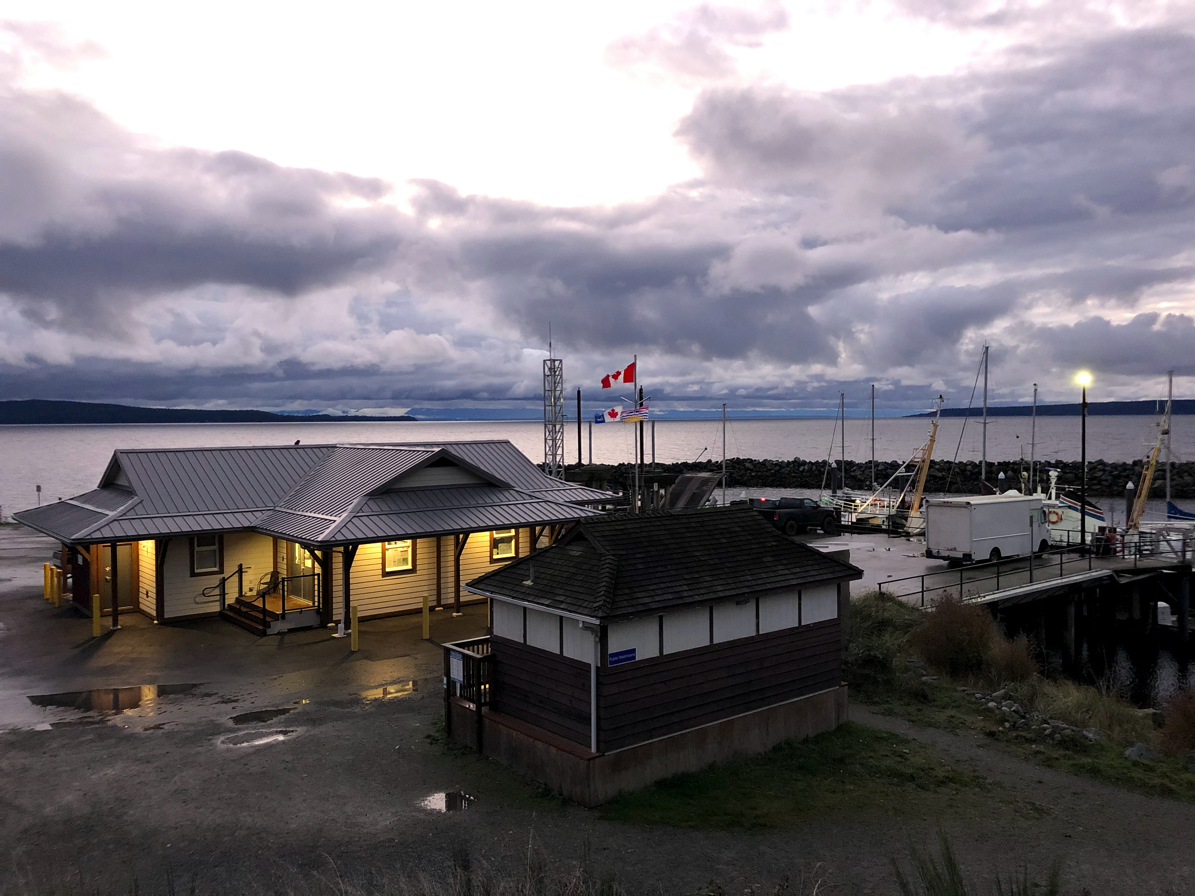
There’s the ferry I’ll be catching to North Vancouver.

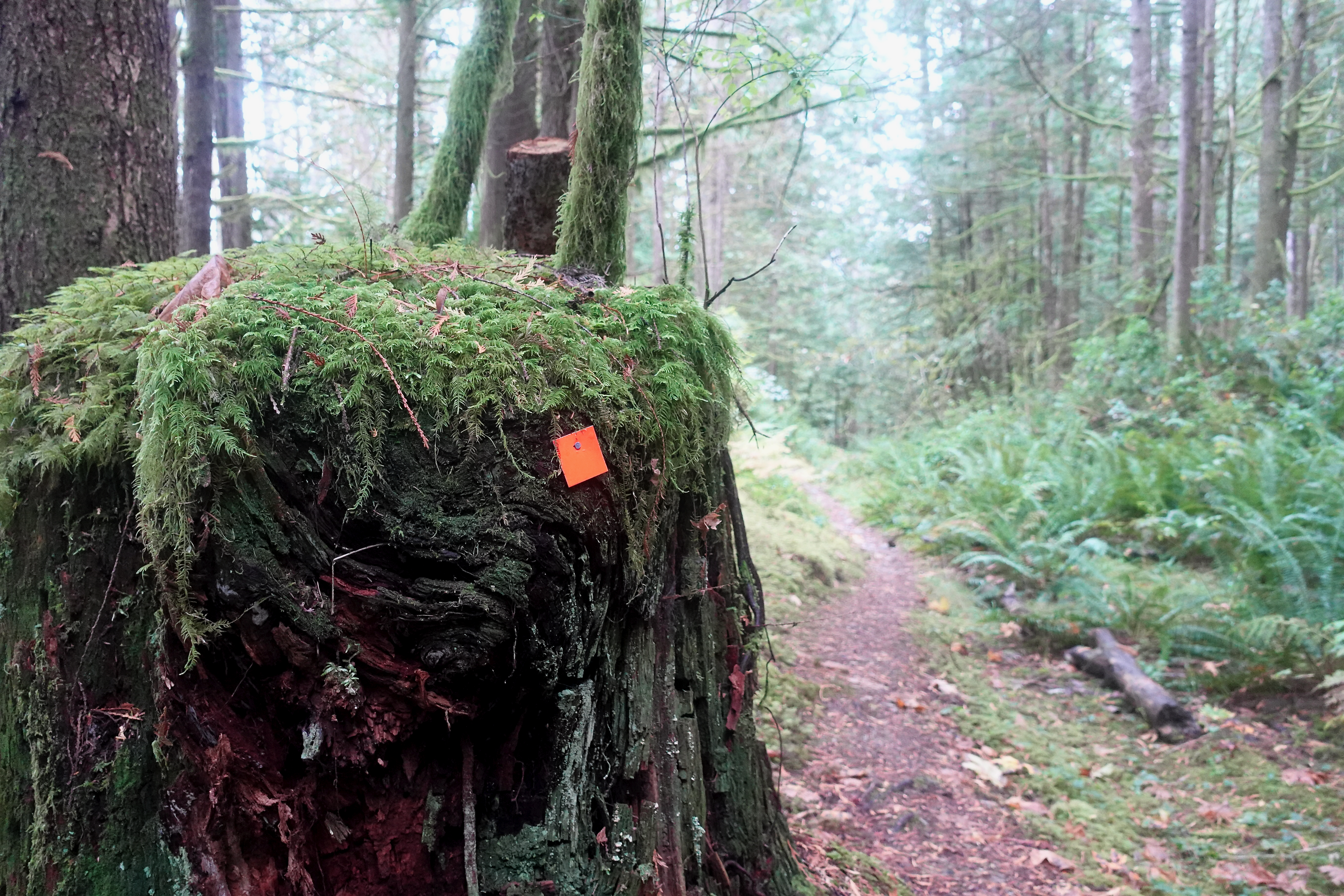
Next morning a leisurely 2 hour walk out. Autumn is my favourite time of year for hiking.

This is the end of the South Coast Trail. But I have one section left to finish, close to Powell River. Looking forward to it already.

I had to telephone the bus for pick-up. But it only cost $2.25 to get me back to Lang Bay where I retrieved my bike.
If you want to learn more about Canada’s longest hut-to-hut hike, check first the official website and our own information page:
BestHike – Sunshine Coast Trail
sunshinecoast-trail.com
