
trip report by BestHike editor Rick McCharles
Huemul Route – day 1 | 2 | 3 | 4 | info
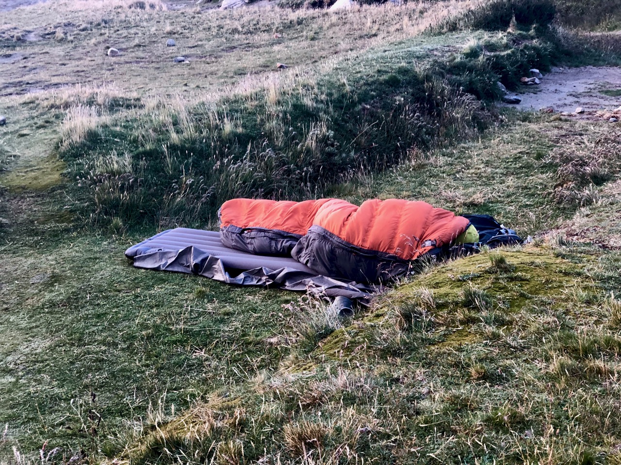
As I’d fallen asleep early (exhausted) at Paso del Viento camp I was up and packed early.
And I was surprised to see someone had arrived solo after dark. In perfect weather, he’d simply crashed.
Most of the hardest parts of this hike were behind me. I thought I’d try for a long day, shortening my exit on day 4.
On this hike I listened to the autobiography of high altitude climber / legend Sir Chris Bonington. There’s no motivation to complain about what I was doing in comparison to his many, many extreme adventures!

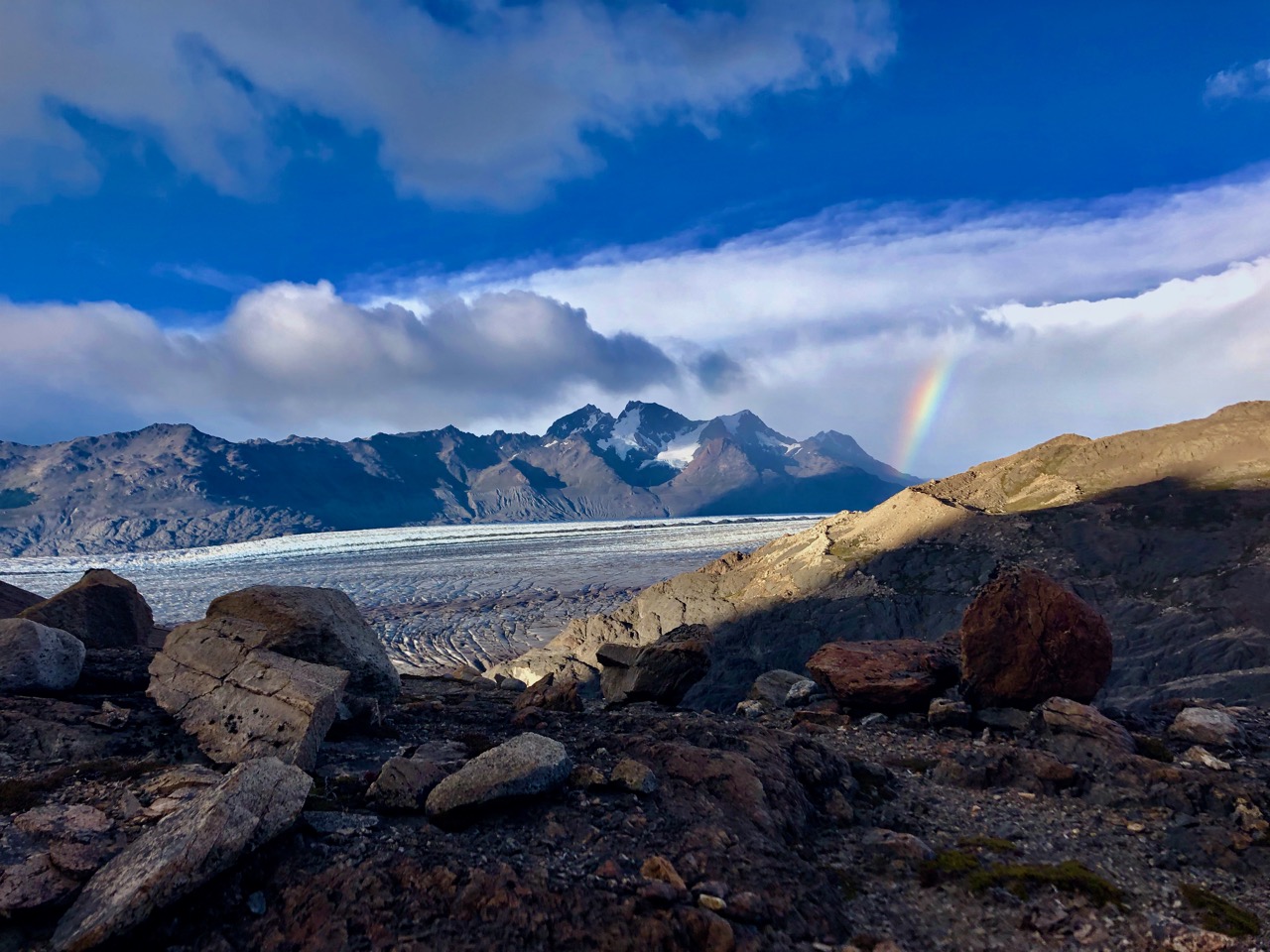
Again there was no real trail. The route continues alongside the Glaciar Viedma moraine. Magically there was a rainbow most of the morning.
I left a Summit Stone at one conspicuous viewpoint.
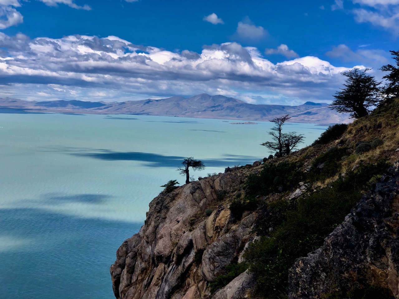
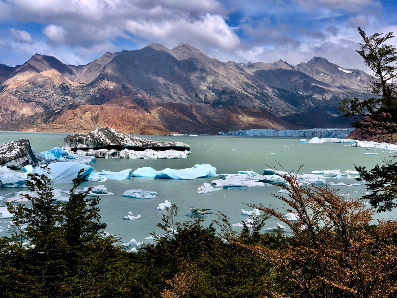
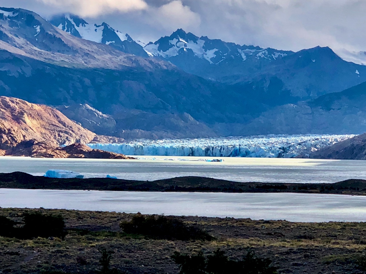
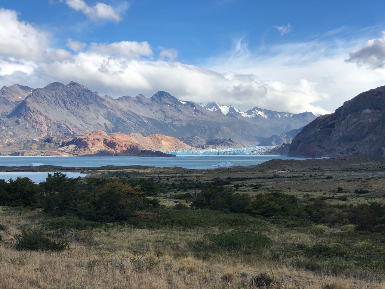
The Viedma glacier is massive and intimidating.
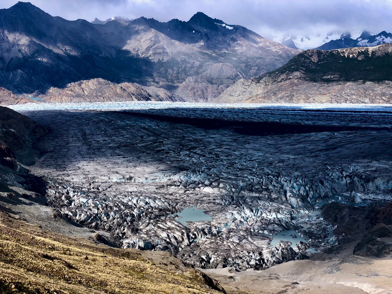
I felt small. And very lucky to be here.
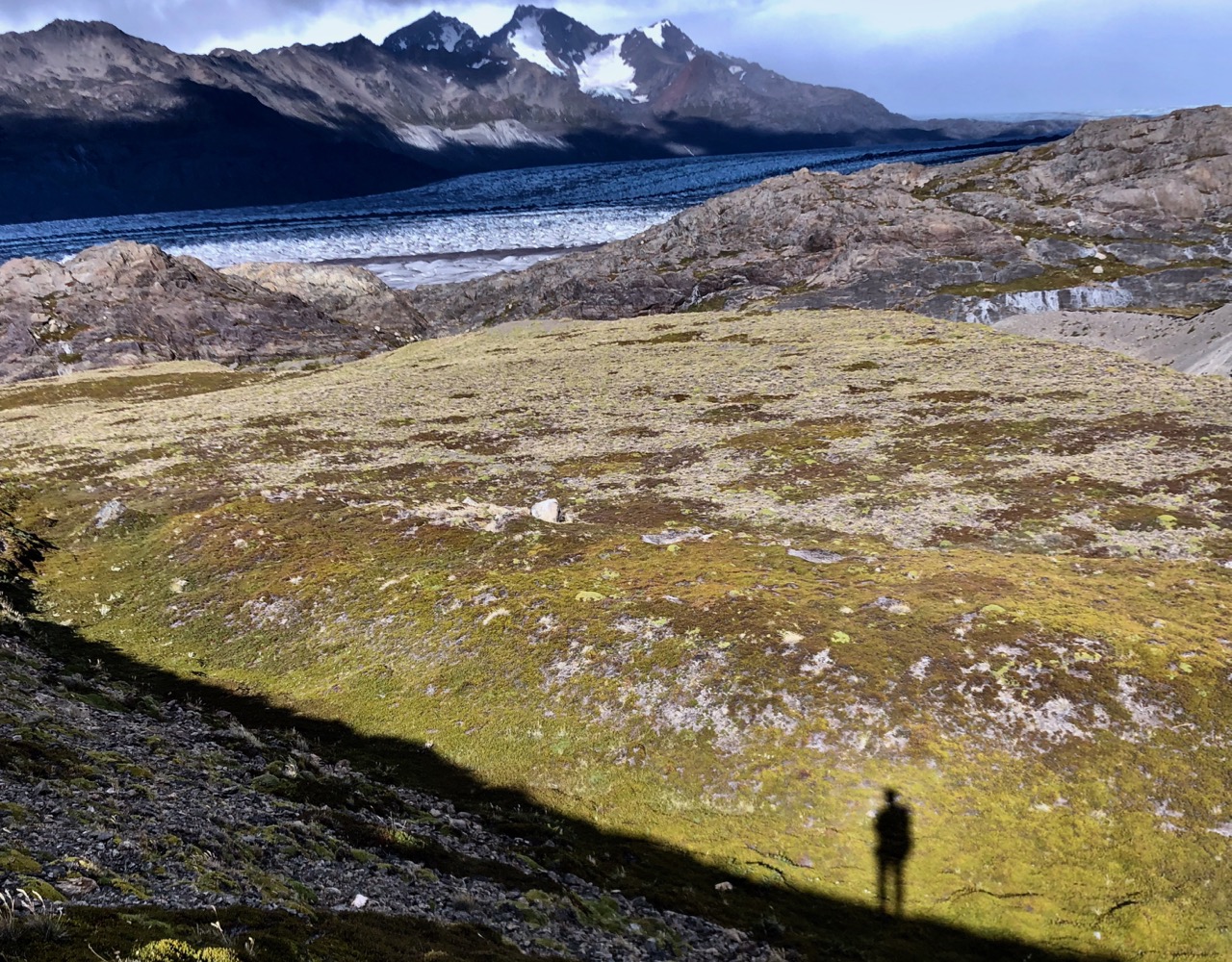
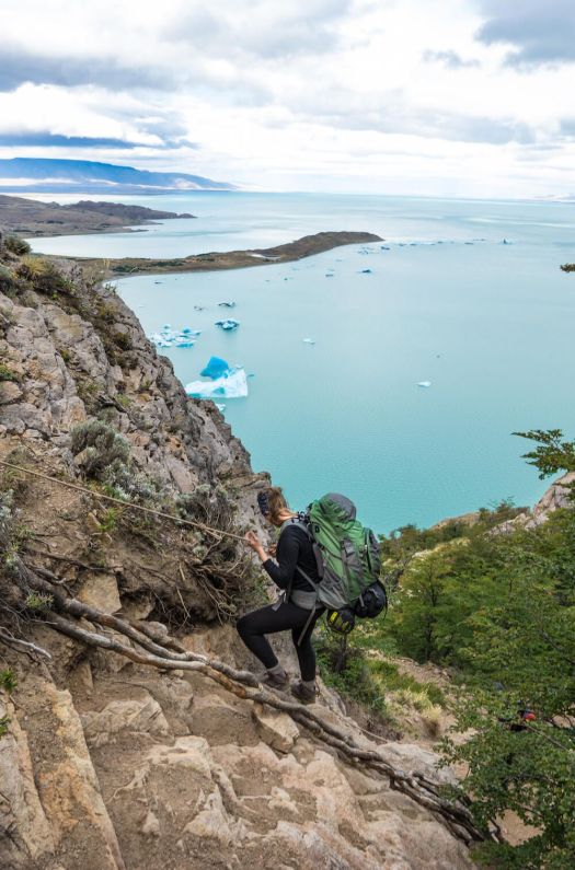
Finally the route took me up and over a high shoulder.
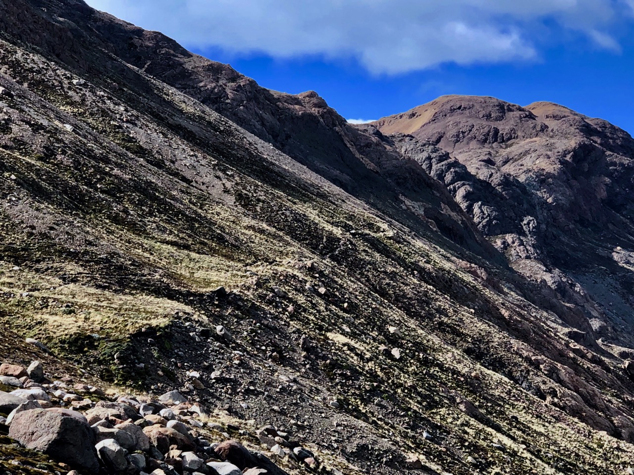
Again it looks easy. It was not.
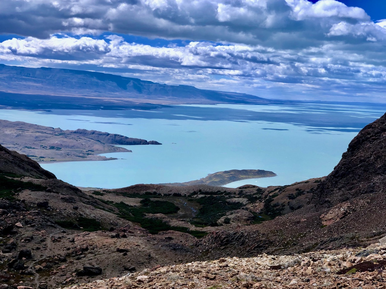
On the other side was another world. Lake Videma.
This descent is the most dangerous part of the Huemul. It’s steep and slippery with only one section with assistance. It would be treacherous when wet.
Luckily I was there after several fairly dry days.
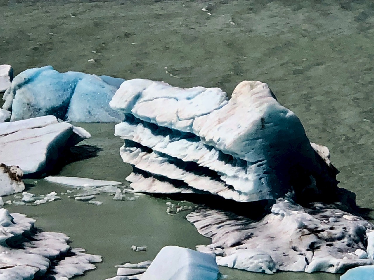
I’ve many times seen icebergs. And loved them every time.
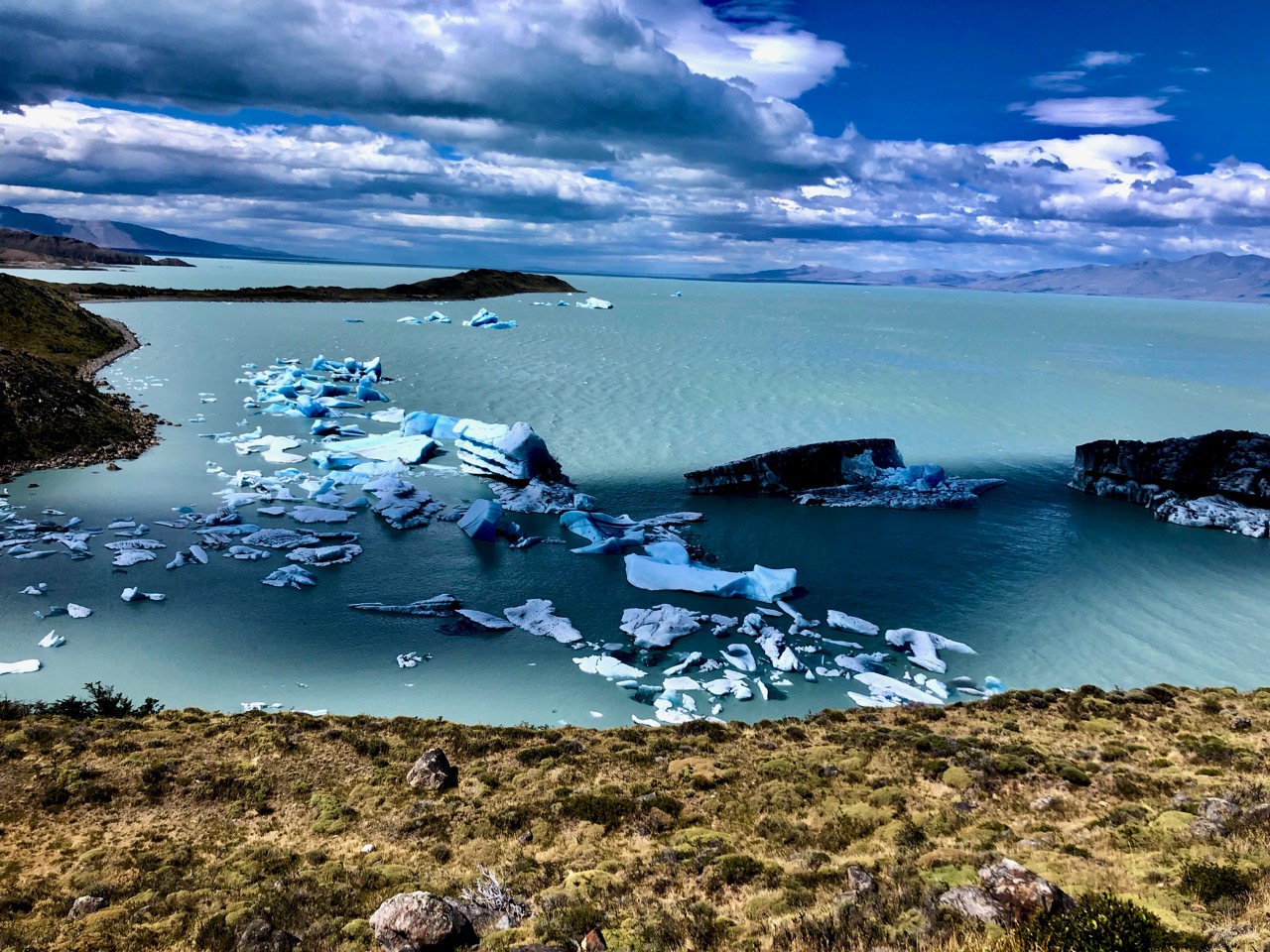
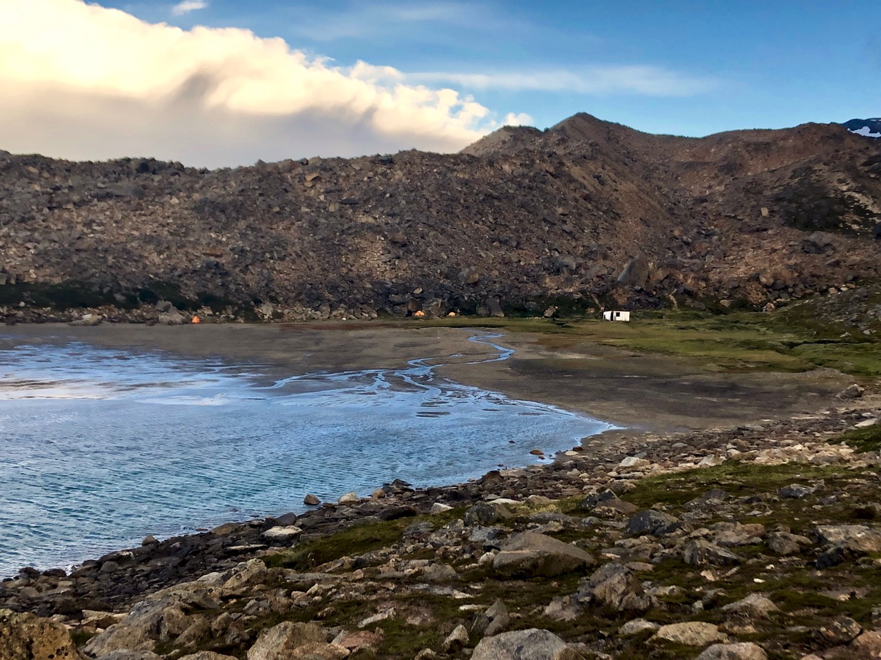
It wasn’t until this point — the Campamento Bahía de Los Témpanos campground — that I was able to see the wall where they had broken off.
Actually, there are a number of potential campsites widely spread out from there to the old Campamento Bahía de Hornos camp. None I saw were particularly well sheltered from wind.
Travel to Walk had this day at 2140ft ascent and 4420ft descent over 10.7 miles taking them 8.5 hours.
But I carried on planning on another 3 hours or so before stopping.
Again there was no real trail. The Maps.me app let me down for the first time in South America. The Fitz Roy section does NOT include the Southern Patagonian Icefield! … Oops. I’d not downloaded that area. … And what was included on Maps.me did not seem very accurate. I did have the recommended 1:60,000 Chalten Outdoor map as well. It wasn’t detailed enough. ☹️
BETTER would be to have a GPS track downloaded, as well.
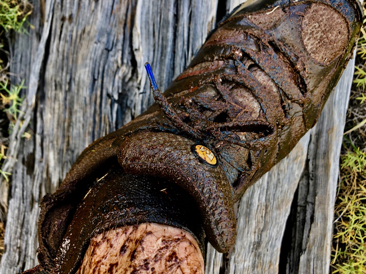
Certainly I was quickly lost in this wet landscape.
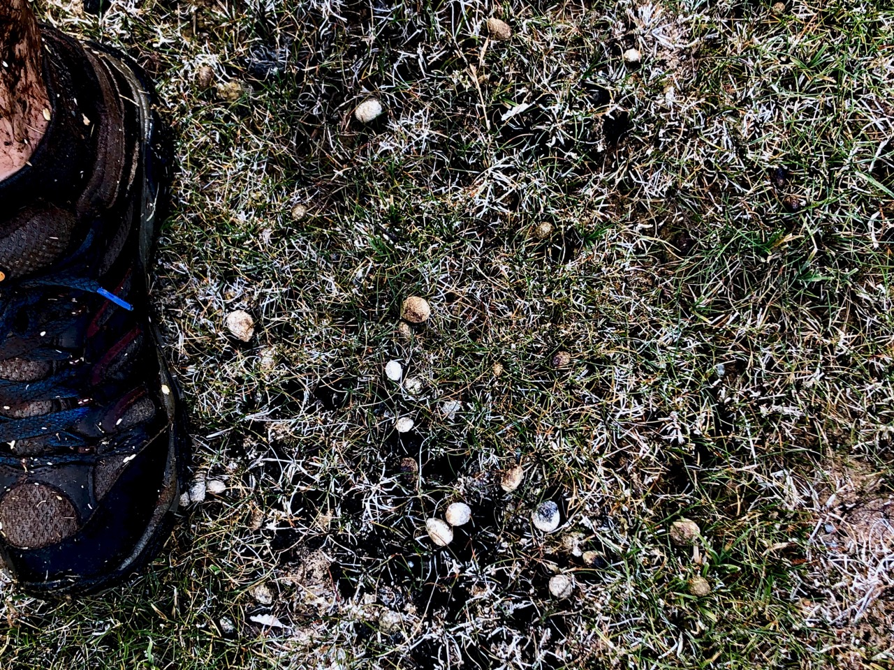
My only company out in these fields were rabbits. Thousands of rabbits. Introduced from Europe, I understand.
Or are they hares?
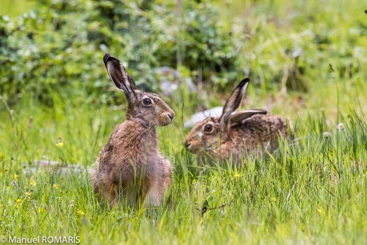
These fields are covered with their droppings.
This route is named for the rare and endangered South Andean Huemul deer. Numbers in Argentina were estimated at 350–600 in 2005. Total number may be around 1500.
I did see two Huemul 15-years-ago close to Cerro Castillo in Chile. I was hitchhiking with a local. Shocked, he stopped the vehicle. Though living there his entire life it was the first time he’d seen one.
Lost in the mud, this was my least happy time on the Huemul.
It was windy too, of course, but I quite like wind.
Irked, I stopped taking photos.
After an hour of more I finally found the trail and a half-decent water supply. Most drink from lake Videma on this section.
I set up my tent near that small creek. Very tired.
