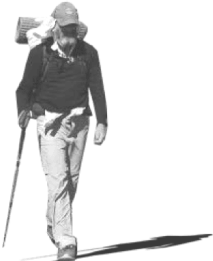
Louis-Phillipe Loncke …. This was an epic journey that left him exhausted, pushed to his limits, and 15 kg (33 pounds) lighter than when he set off.
The video below is from a new report aired in Australia that caught up with the Belgian adventurer just as he was crossing the finish line, providing some insights into what this journey was like. …
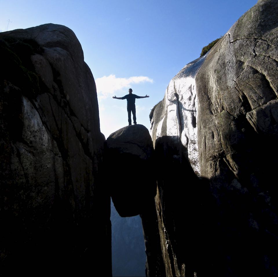
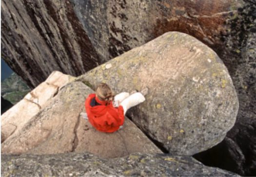
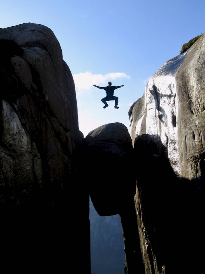
Every hiker has seen photos of the boulderwedged into a Kjerag mountain crevasse above a Norwegian fjord.
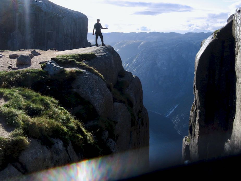
That’s 984m (3,228ft) high. It’s a popular site for BASE jumping.
A Russian BASE jumper was walking up at the same time as myself — some like to jump close to sunset — but he kept climbing past this spot to something more exciting.
I’d never heard it was a tough hike to get there.
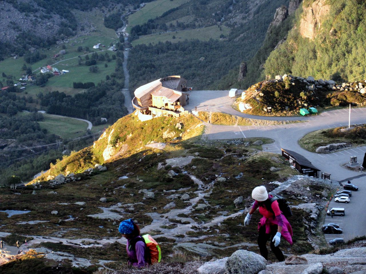
Here’s the start of the easiest ascent from Øygardsstølen visitors center.
It’s 4-6 hour return over beautiful rocky terrain. Some scrambling. Very slippery. There are plenty of chain assists. I used many of them even in dry weather.
By comparison I would say this is much more challenging than Half Dome in Yosemite. And there are all kinds of inexperienced tourists with poor footwear.
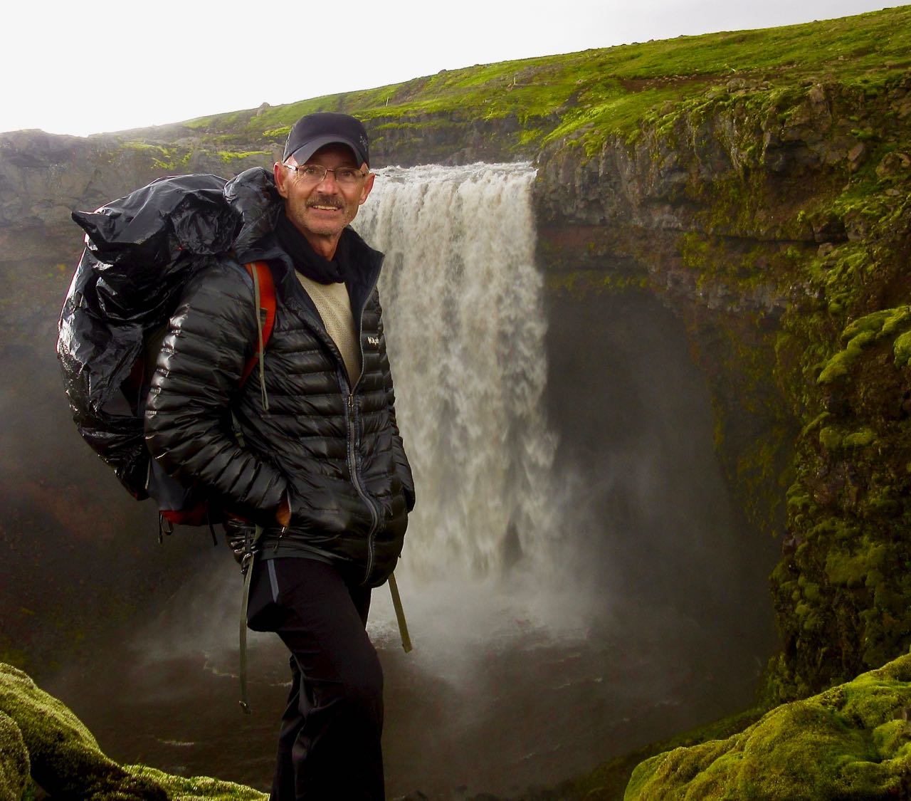
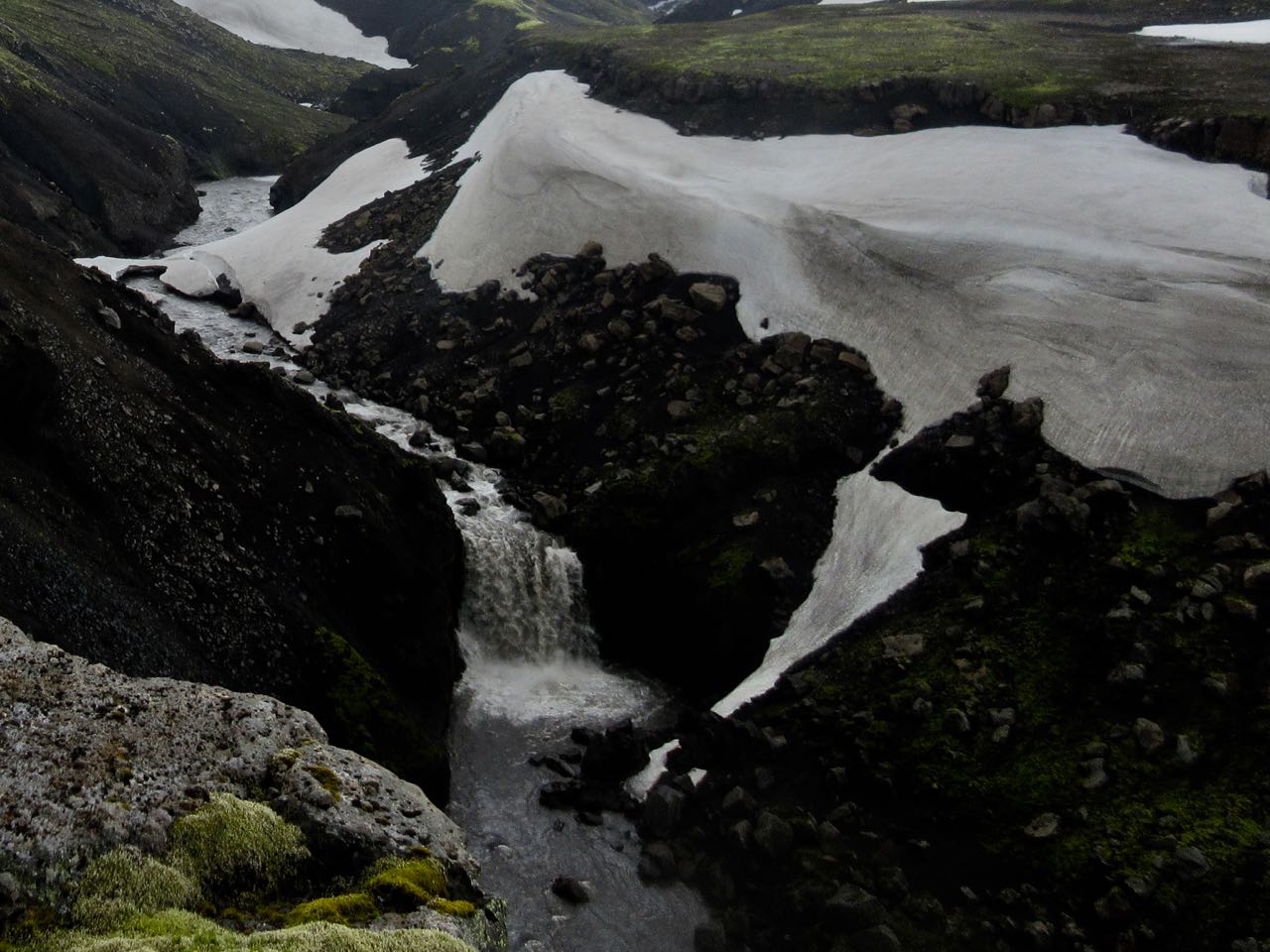
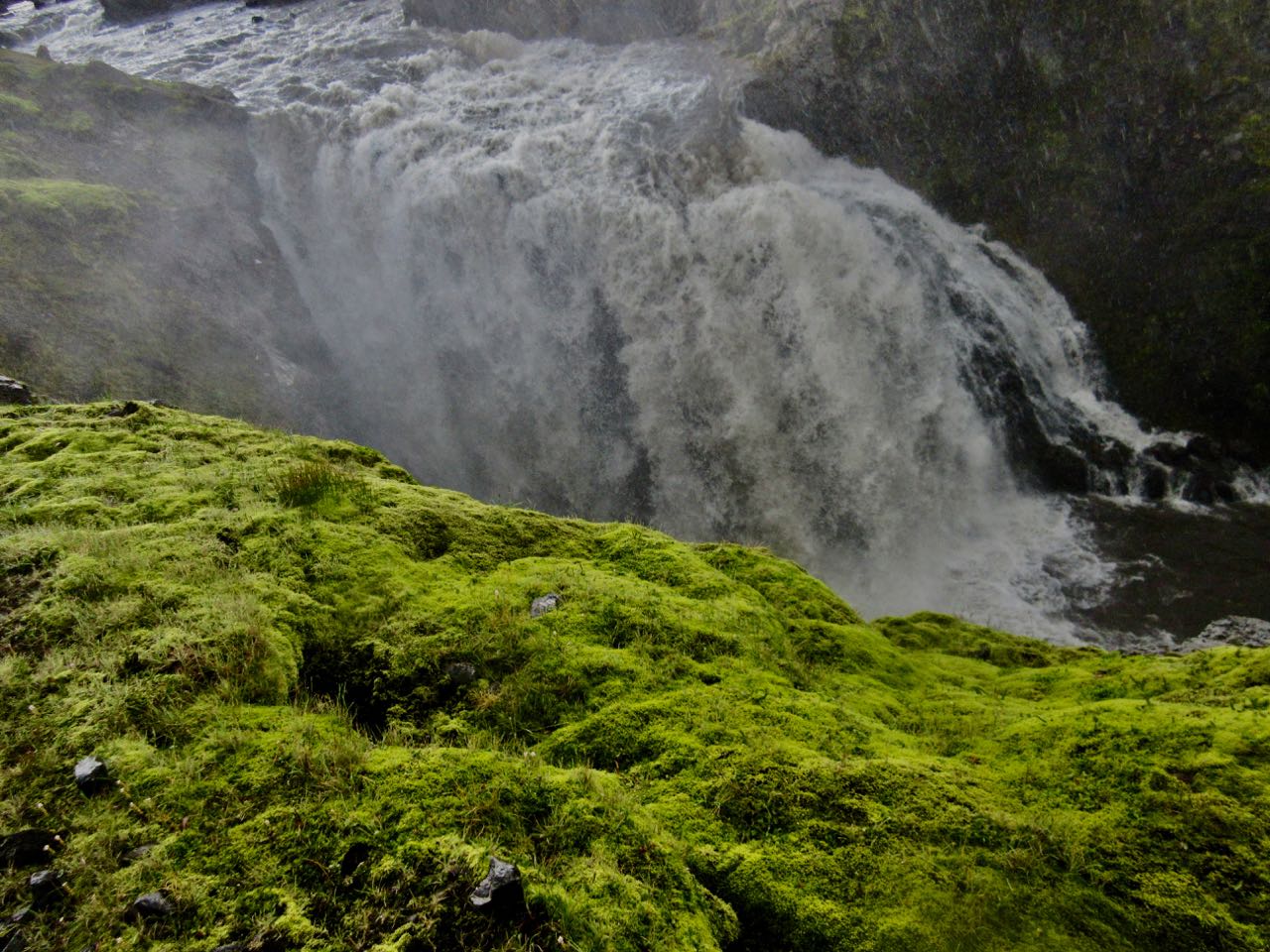
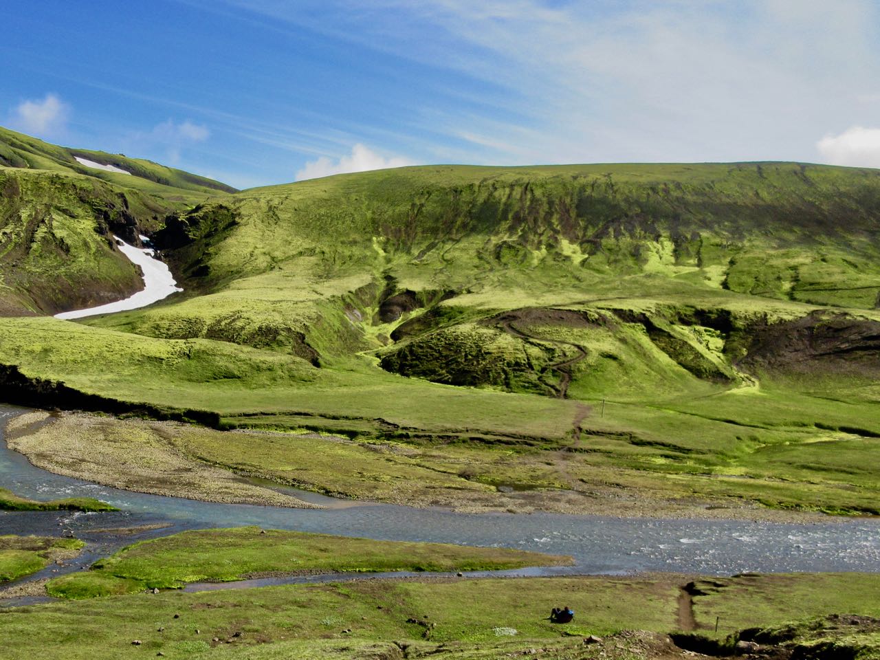
When I think back on Laugevagur, my first thoughts are of the amazing waterfalls on the last day. Is there a more spectacular chain of falls anywhere else on Earth?
Happily, the weather was quite good when I woke early. Then a thunder storm rolled in and disappeared before I’d finished coffee.
Later I learned that Mark was already up high. Very nervous. There’s no place to hide from lightning in Iceland.
Here I was psyching up for the 900m climb to Fimmvörðuháls pass.
I knew it could be a long, tough day climbing to the icefields up on a high plateau. It’s the most glaciated section. But at least there are NO RIVER CROSSINGS!
The ascent was quite easy, as it turned out.
What’s this?
These were the first hikers I saw coming the other direction. Doing this with a day pack is quite popular.
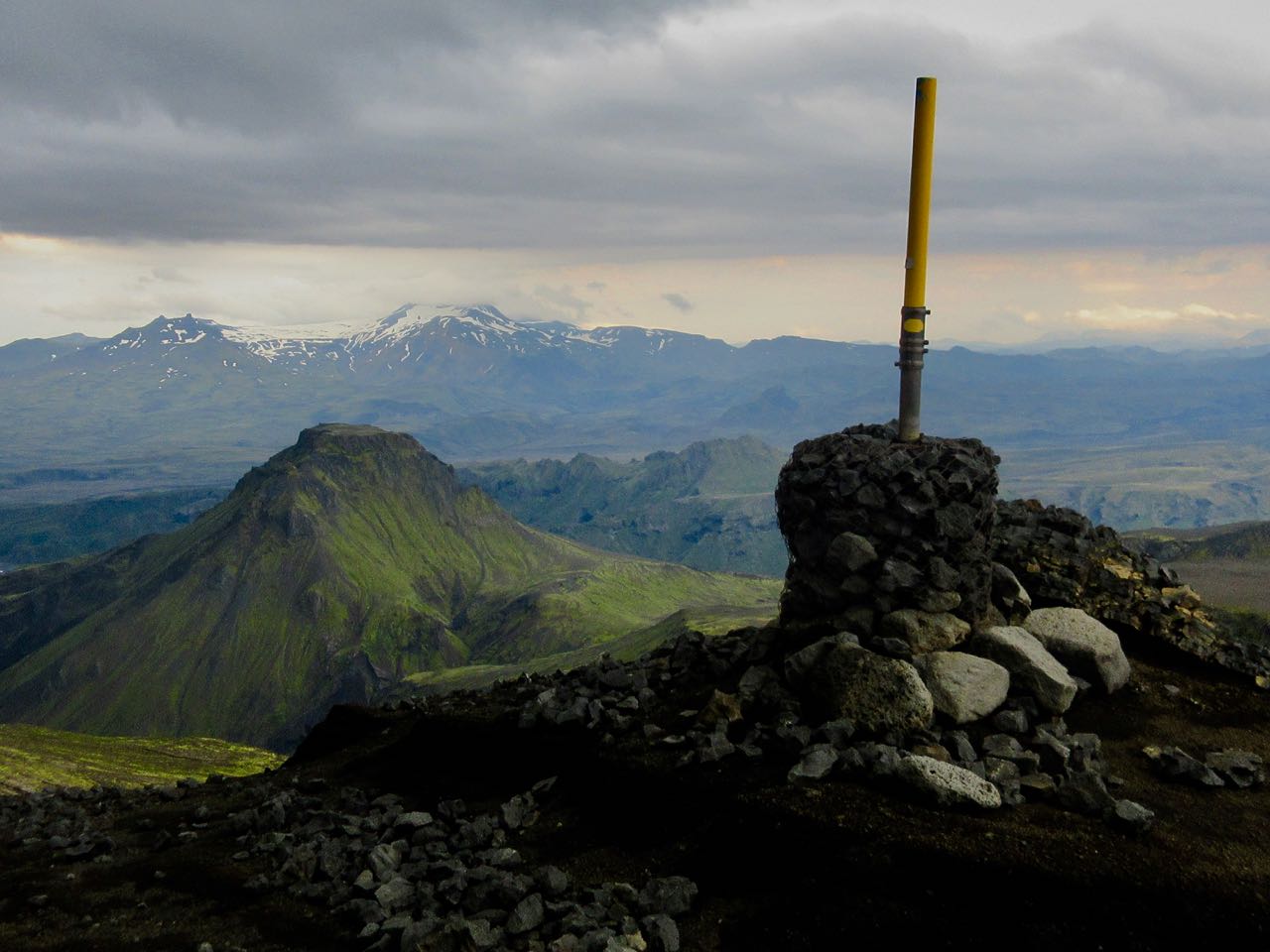
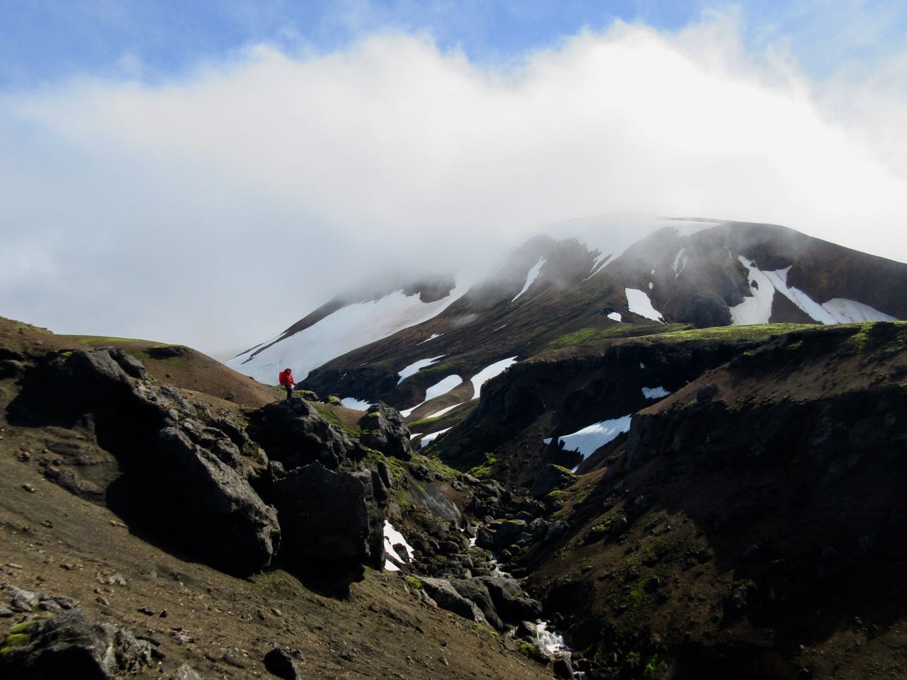
Stunning views.
Recall the 2010 volcano that disrupted air traffic all over Europe?
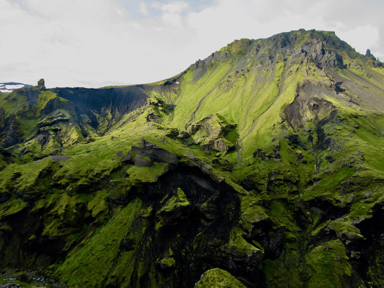
This is it. You walk that massive lava flow.
Moodi and Magni (Thor’s sons) are two summit cones pushed up in 2010.
Magni
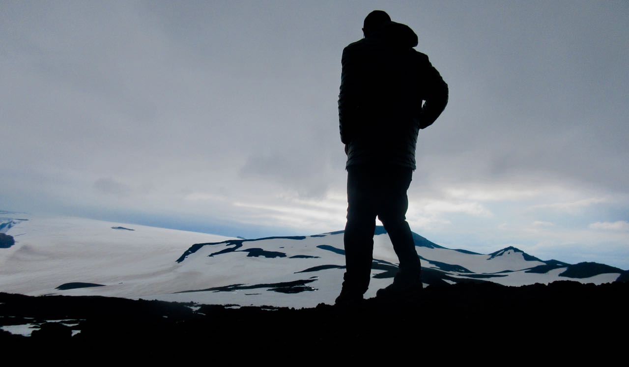
Everyone climbs Magni to enjoy the 360 degree view.
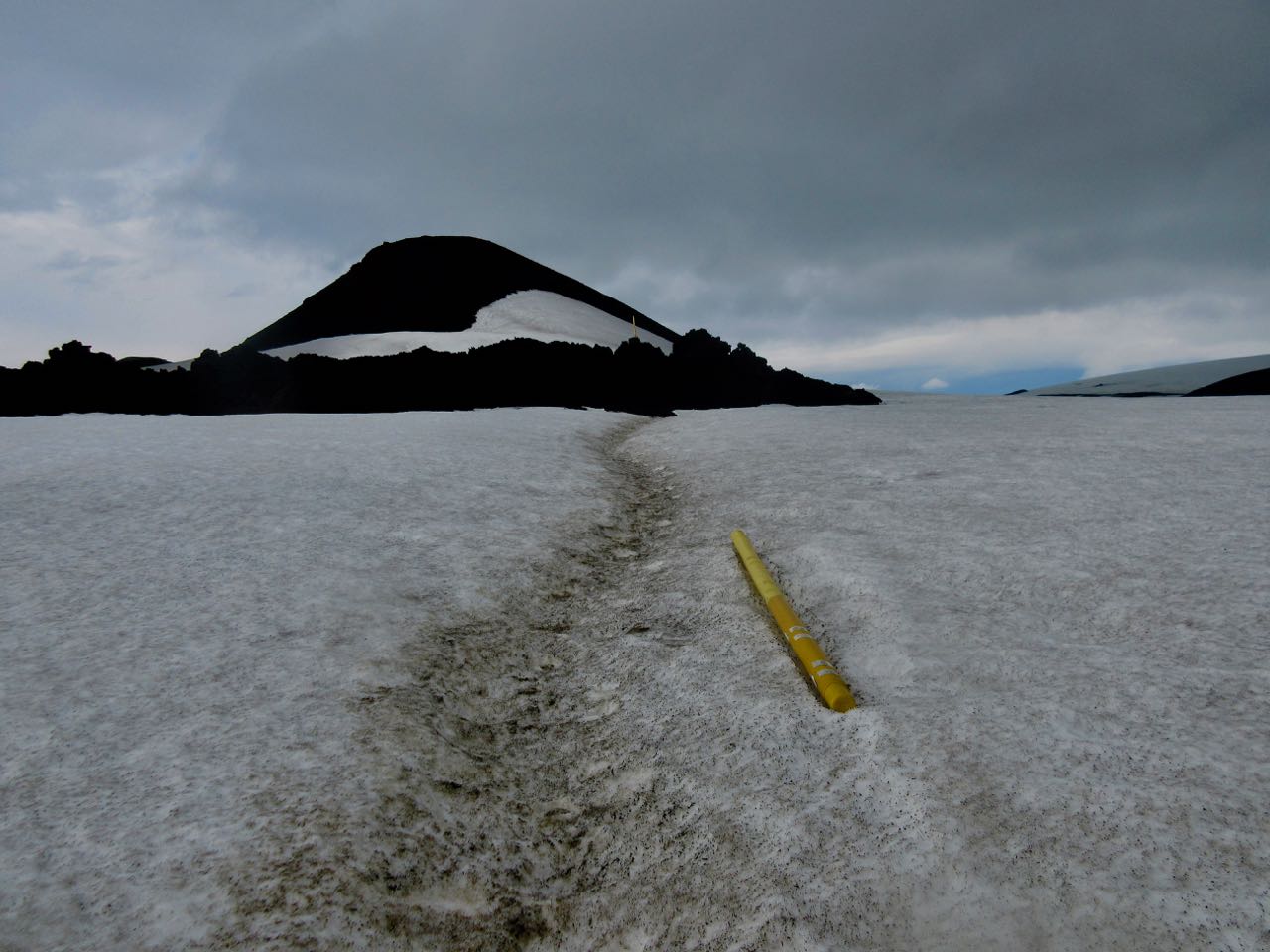
One worry late in the season is the snowfields turning to slush. Or water.
Happily, it was still good walking for me on July 29th.
Baldvinsskali is a small emergency hut en route. Hikers are allowed to escape the wind and elements if needed.
My only complaint about this hiking day is some road walking on the way down. I’d prefer they make a parallel walking trail.
How far to Skógar?
Waterfalls begin.
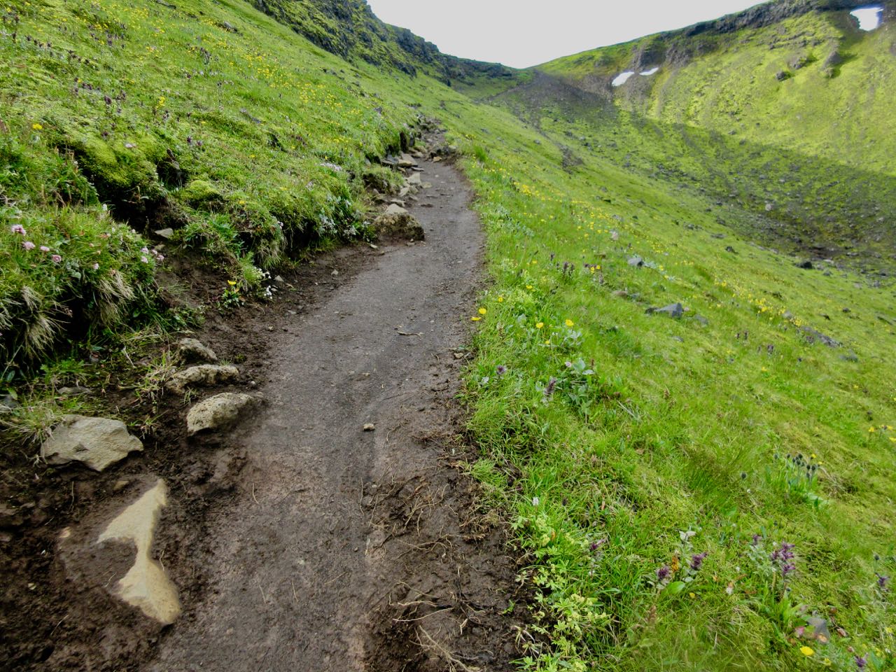
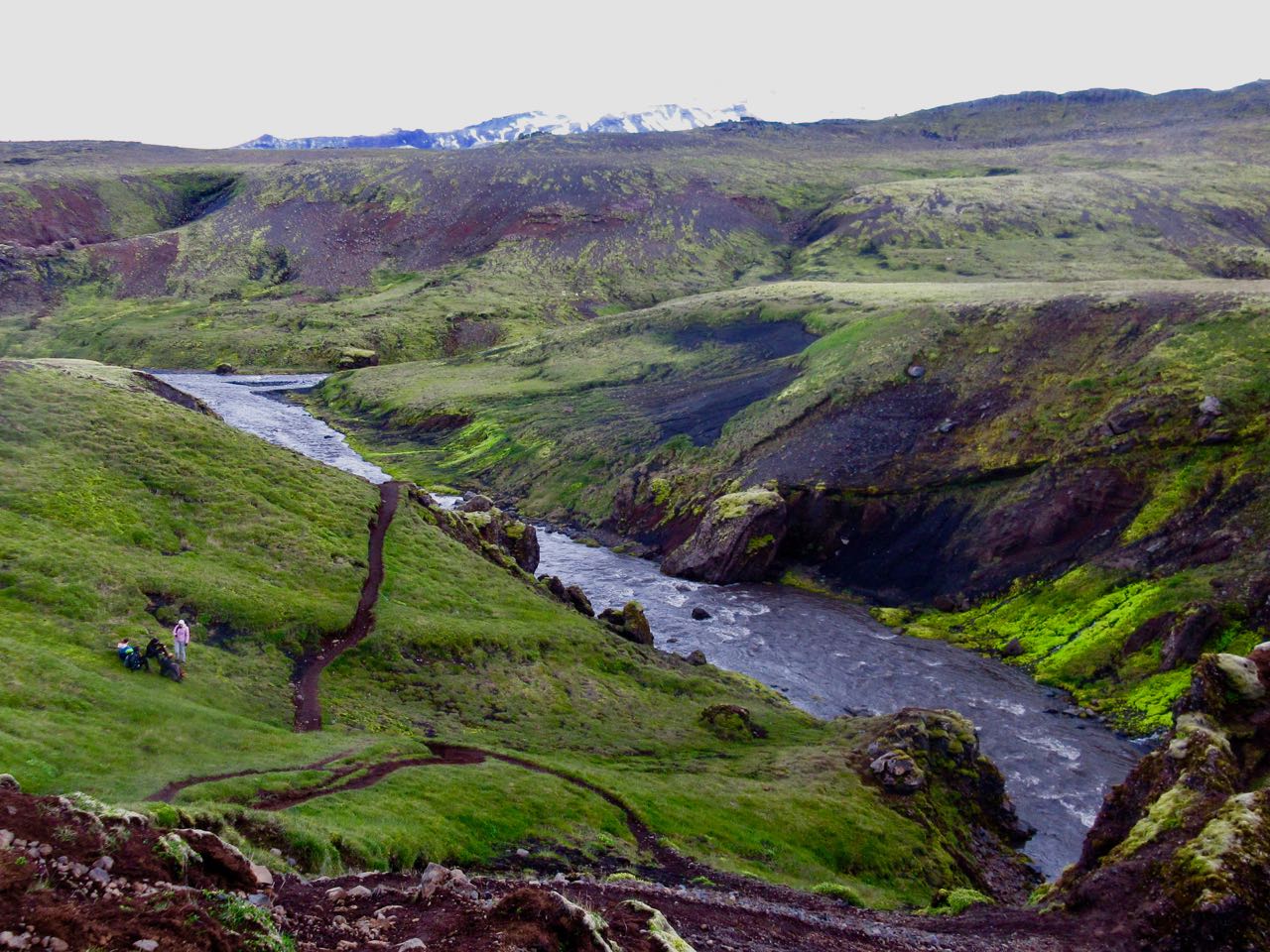
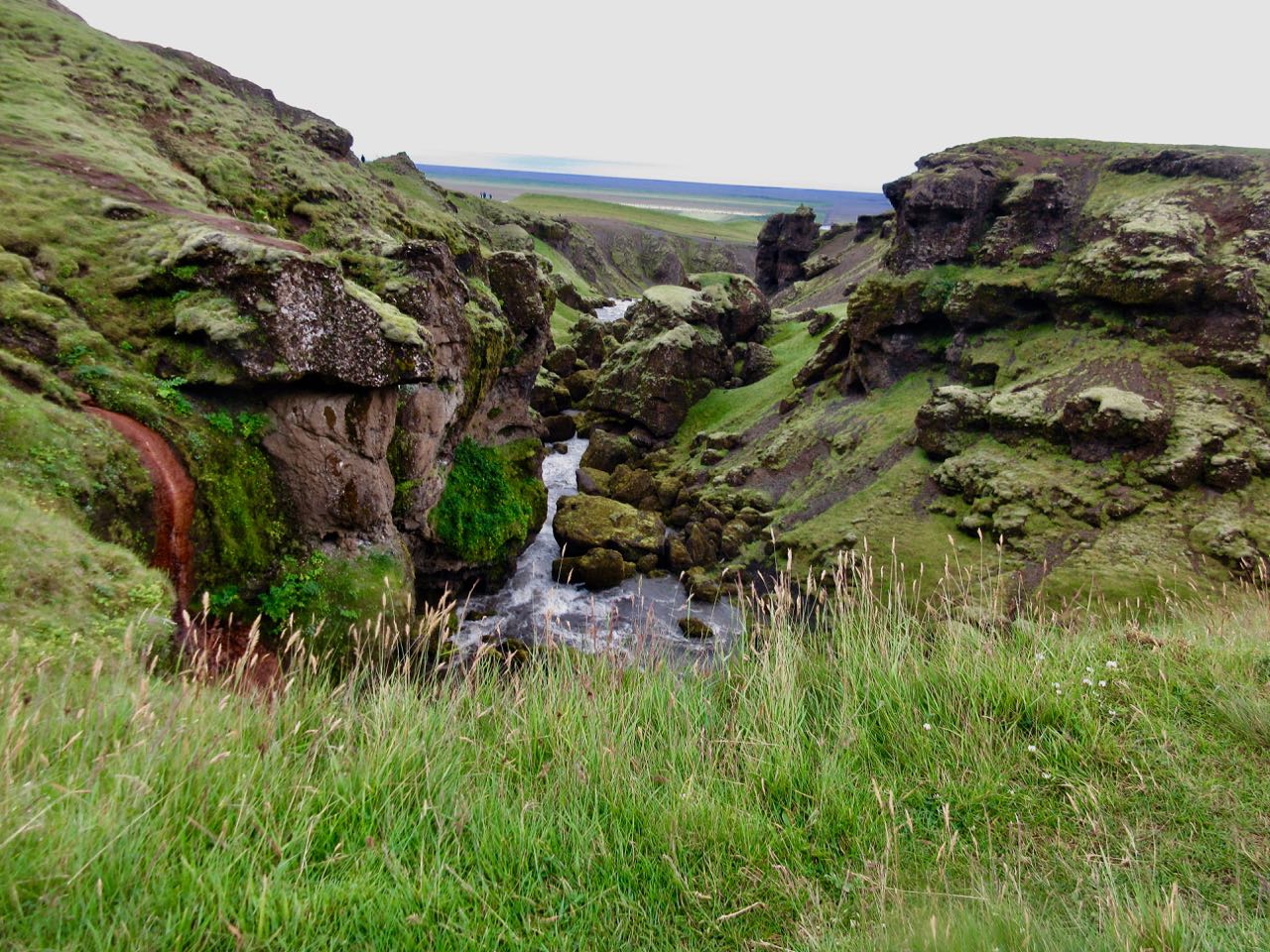
The trail follows the river down.
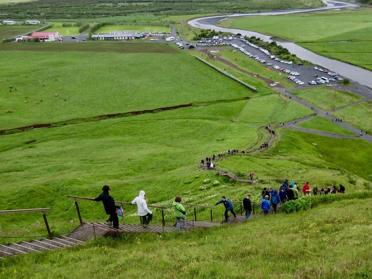
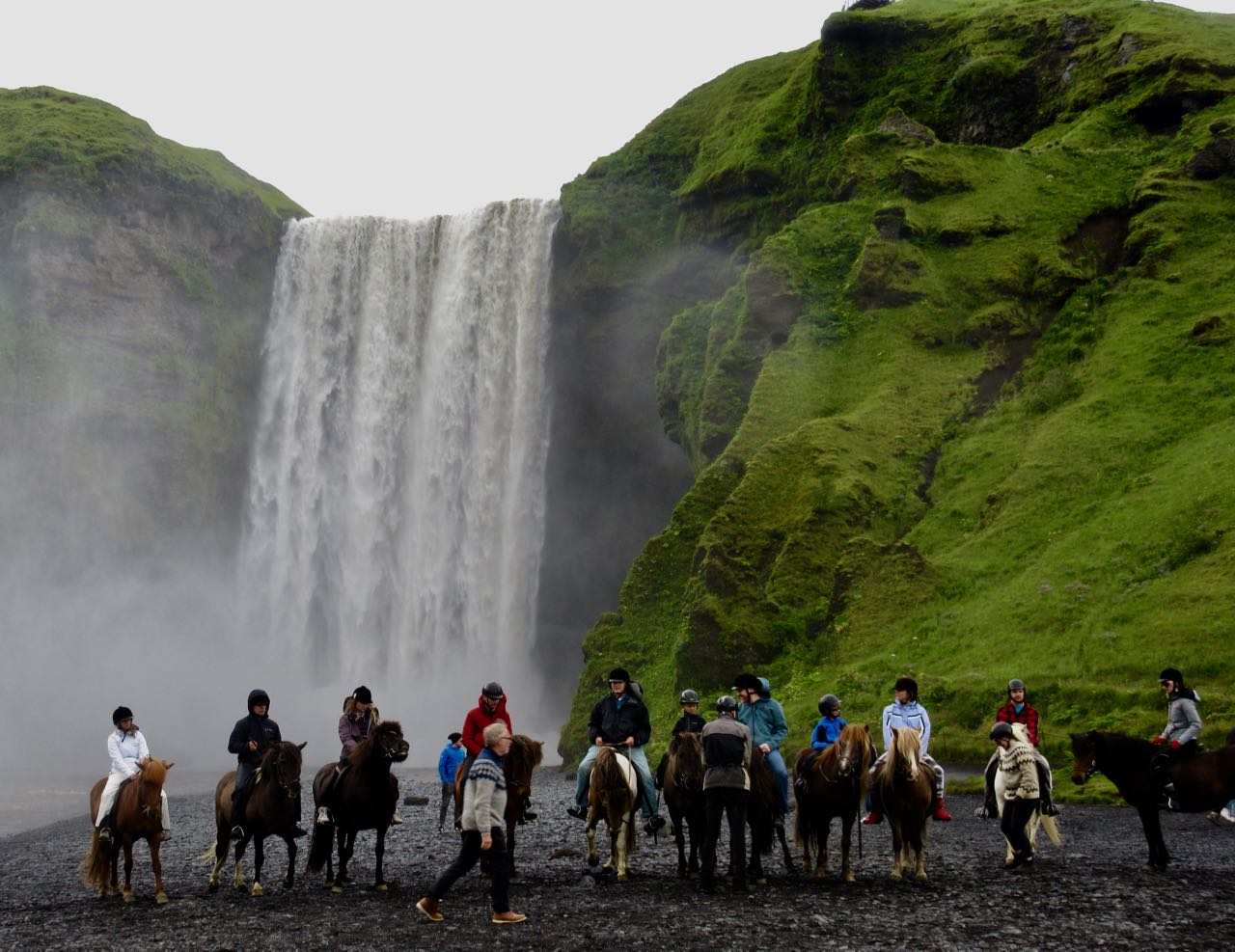
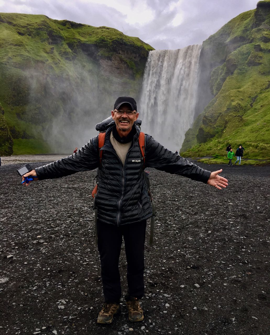
Every tourist to Iceland visits the falls at Skógar.
Made it!
About half way through the day I’d decided to bus back to Reykjavík, if I could. Mark was shooting photos at the base of the falls. I bought a ticket on his bus.
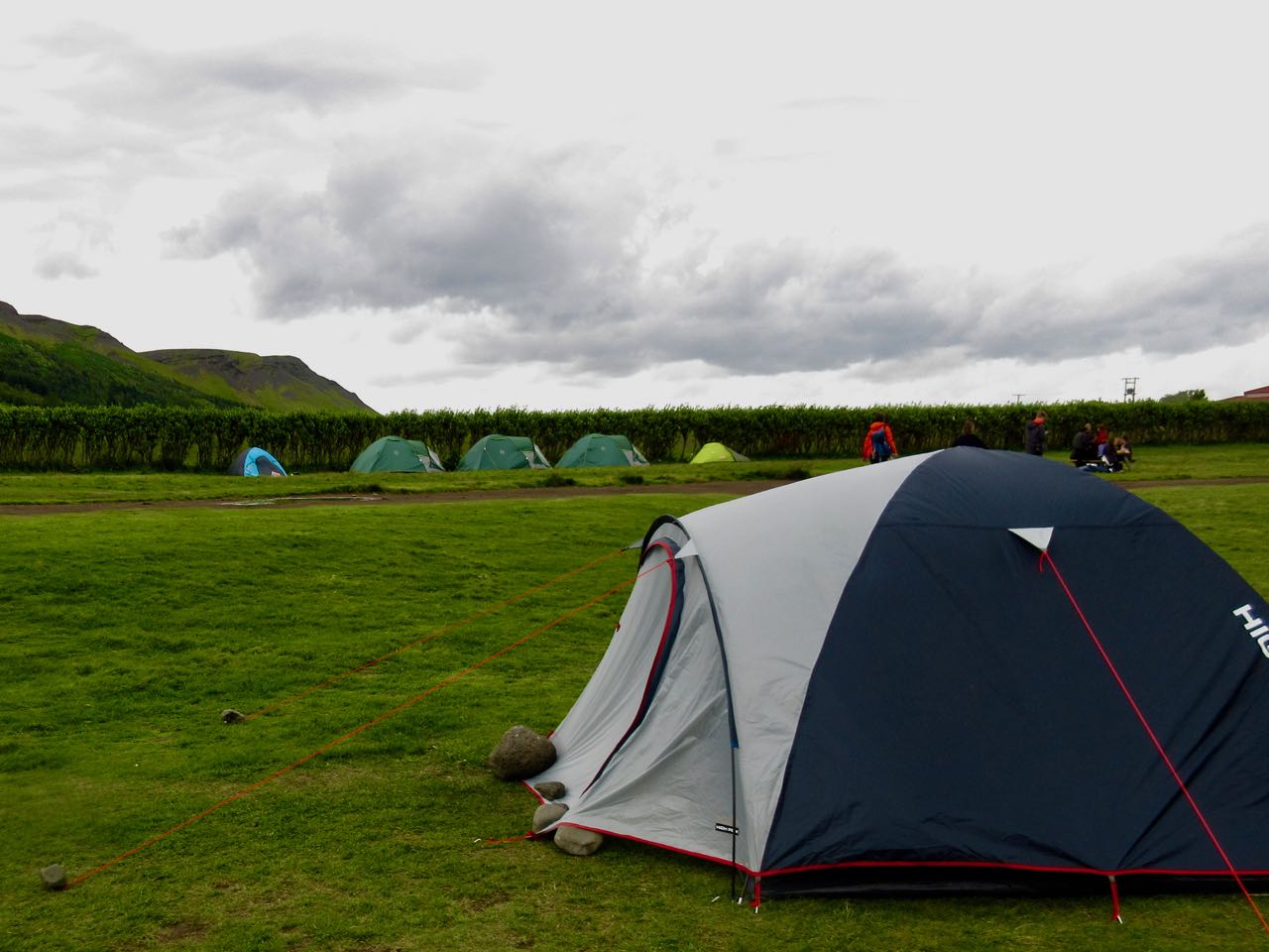
You could stay over. Skógar has a hostel and camping. As well as several restaurants.
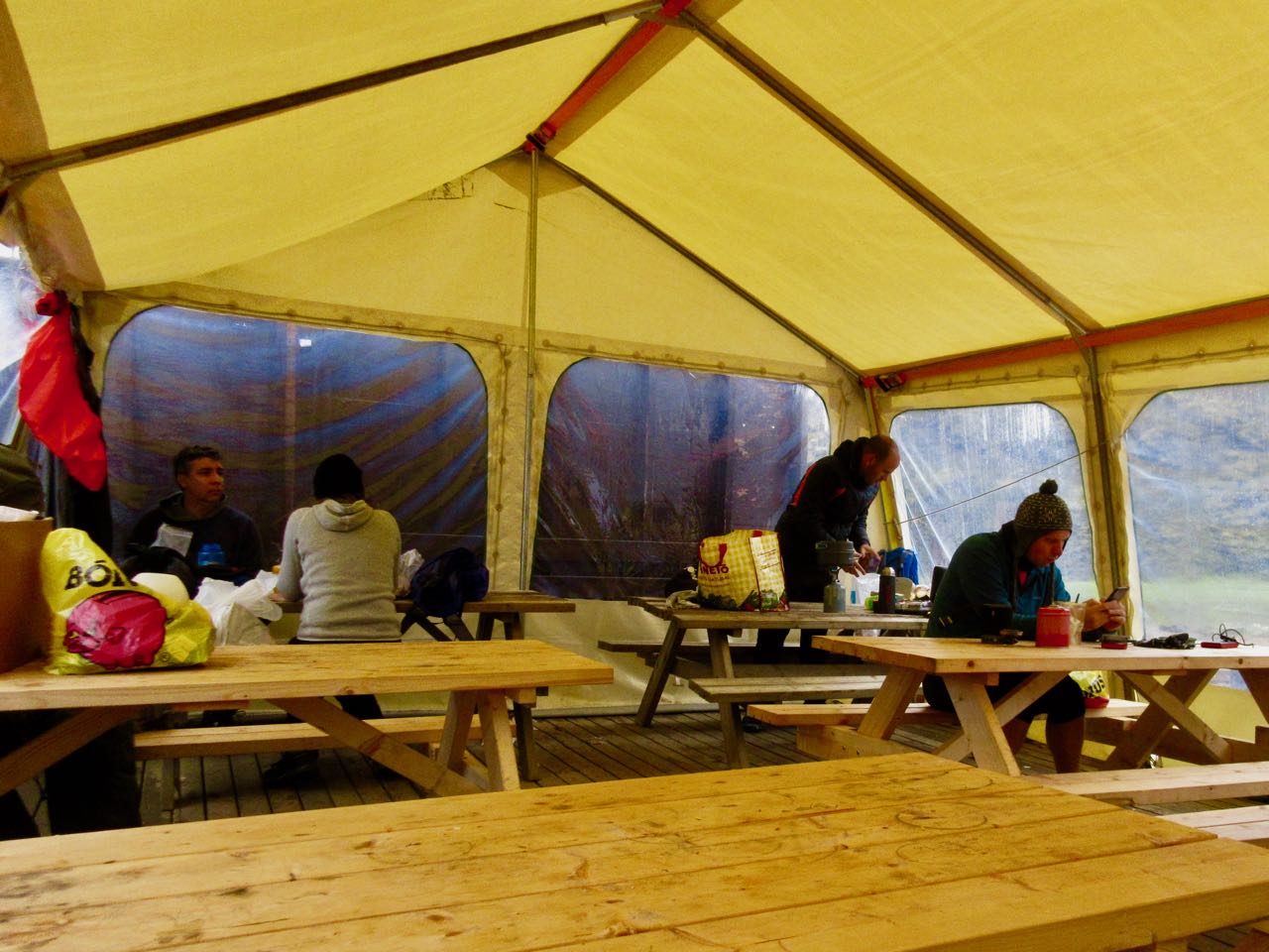
Sharing a room in a hut with dozens of strangers, I snuck out early for coffee. And to kind of organize my pack out of the rain.
Somehow I left behind my river shoes. And a jar of peanut butter. ☹️
The weather was no better but I certainly wasn’t going to wait another day at Landmannalaugar. It was go … or catch the bus out.
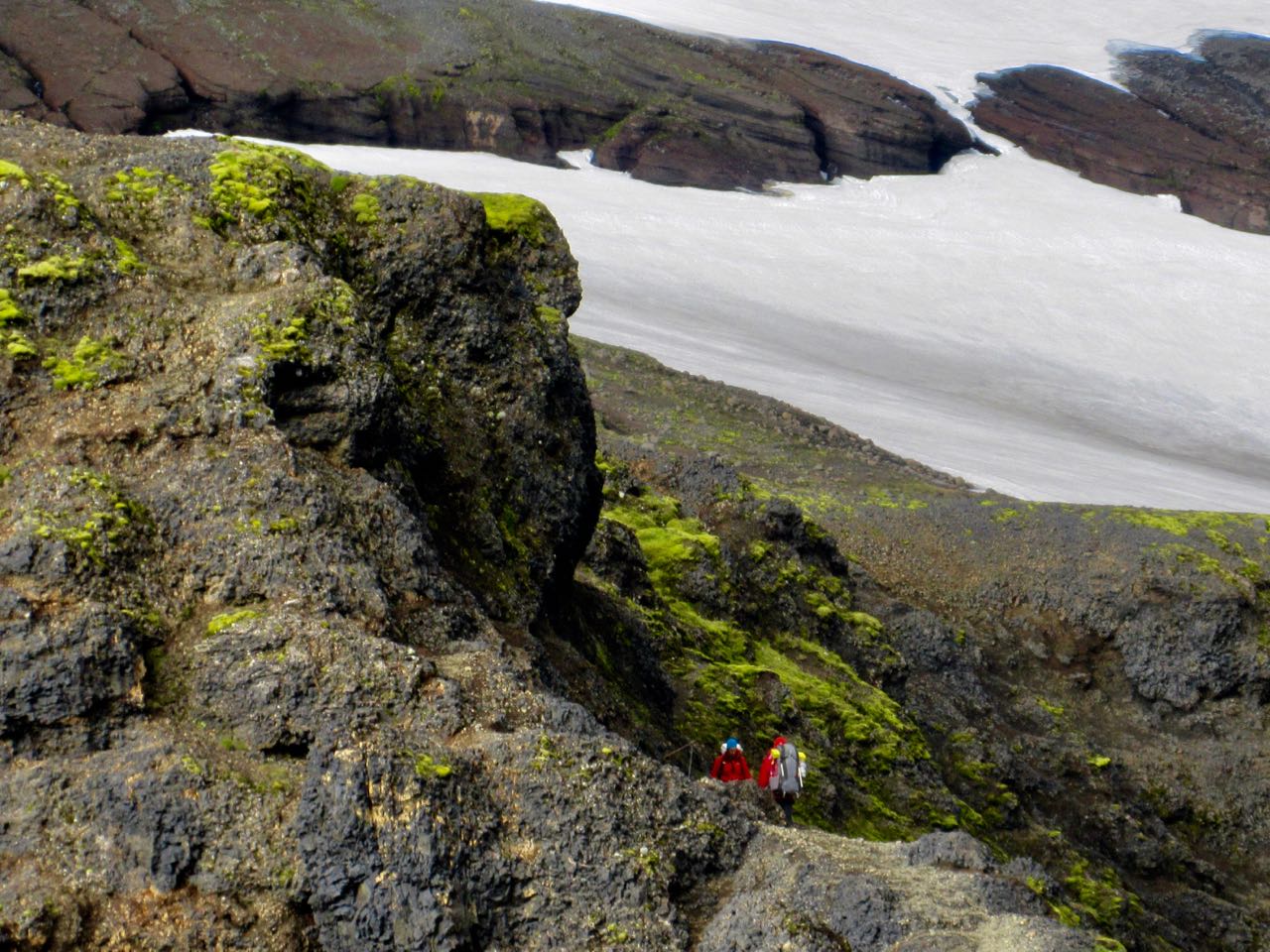
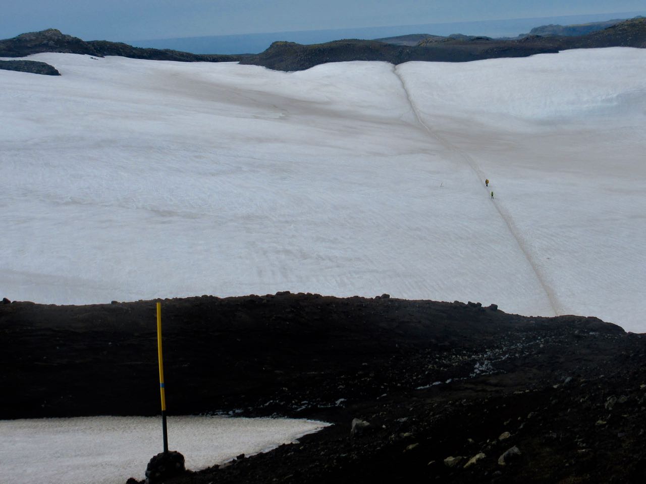
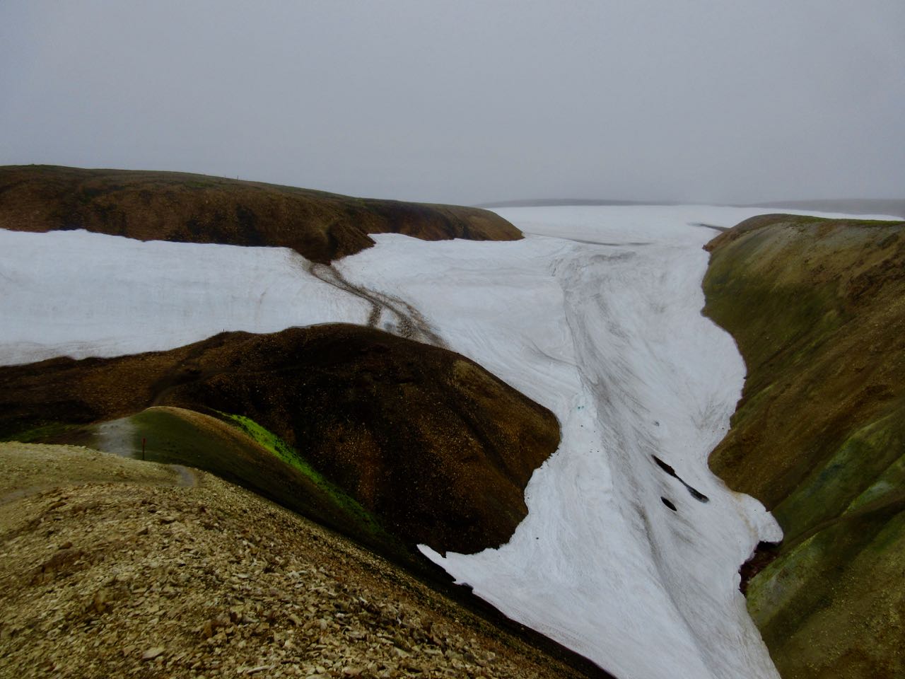
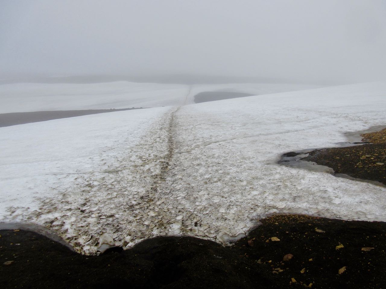
UP past the fumaroles and quite quickly on to snowfields.
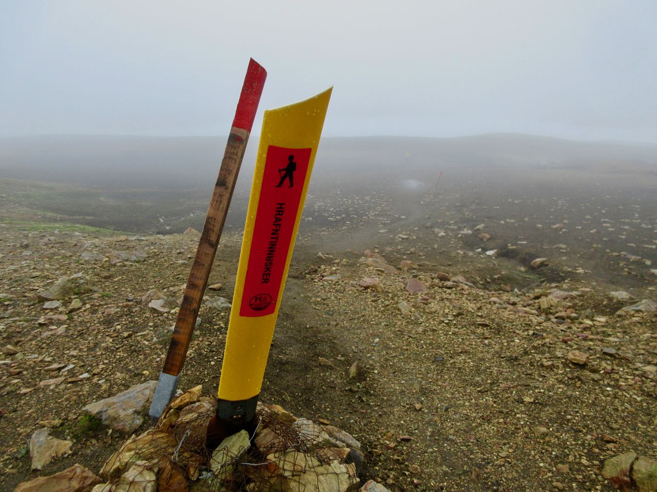
The trail is well marked … IF you have visibility.
In 2004 Ido Keinan, a 25-year-old hiker from Israel, got caught in a late June storm and died of exposure only 1km away from the hut in Hrafntinnusker. Wardens at Landmannalaugar warned him it was too dangerous.
He needed a GPS.
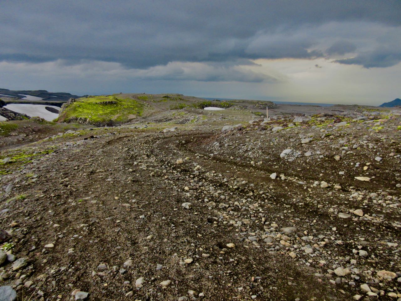
Glaciers cover 11% of Iceland. Lava fields and deserts about 60%. It’s easy to get lost.
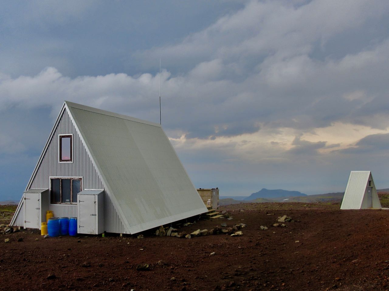
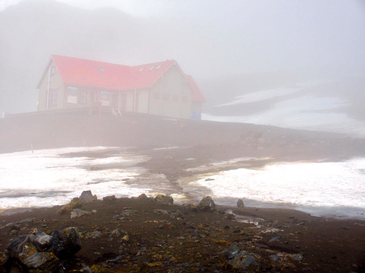
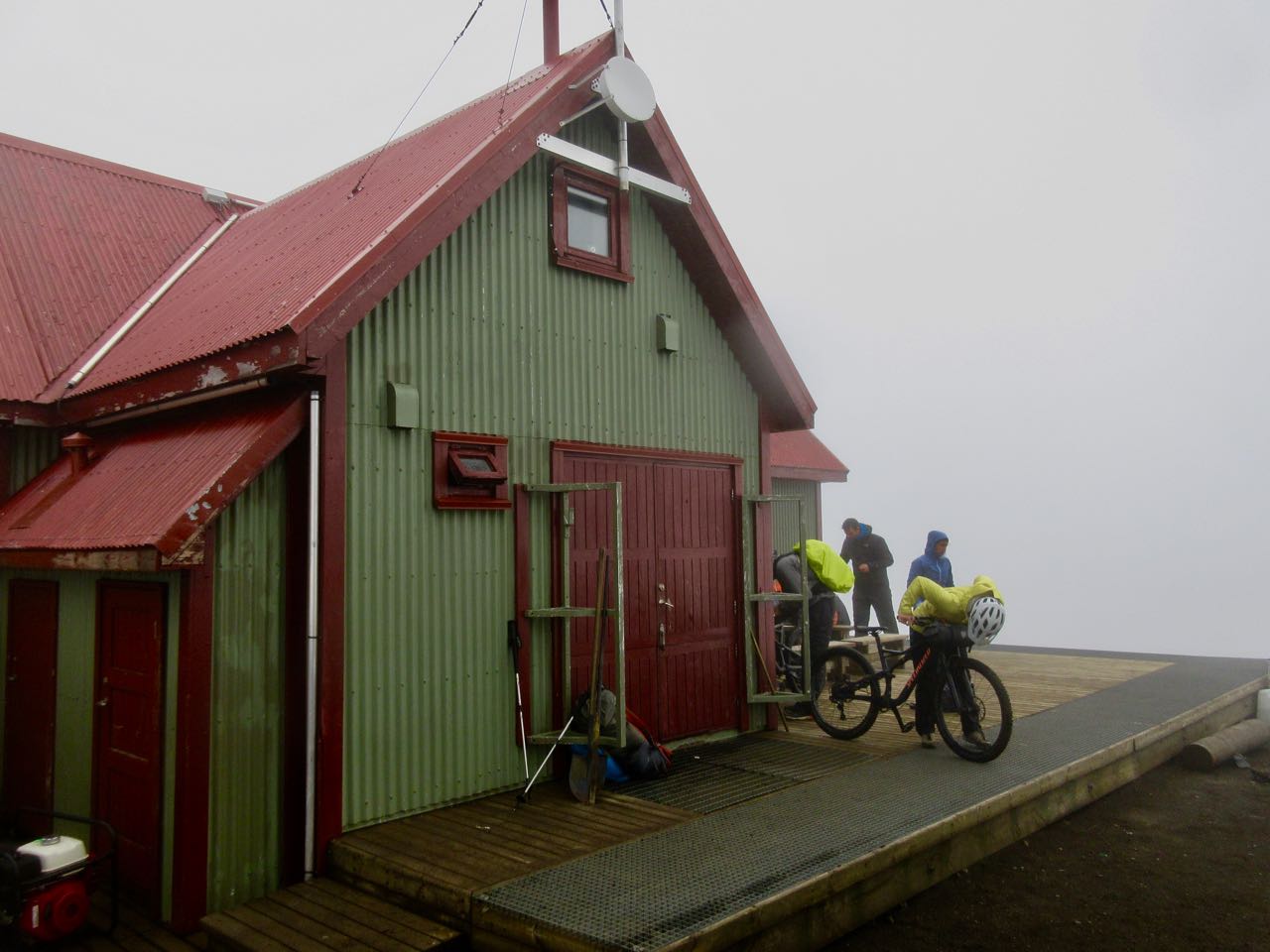
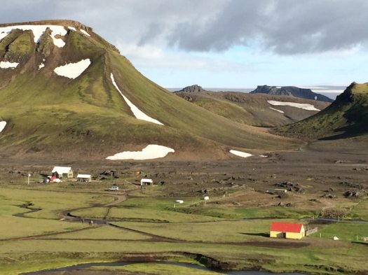
Here’s that hut. The Alaskan cyclists were just leaving as I arrived.
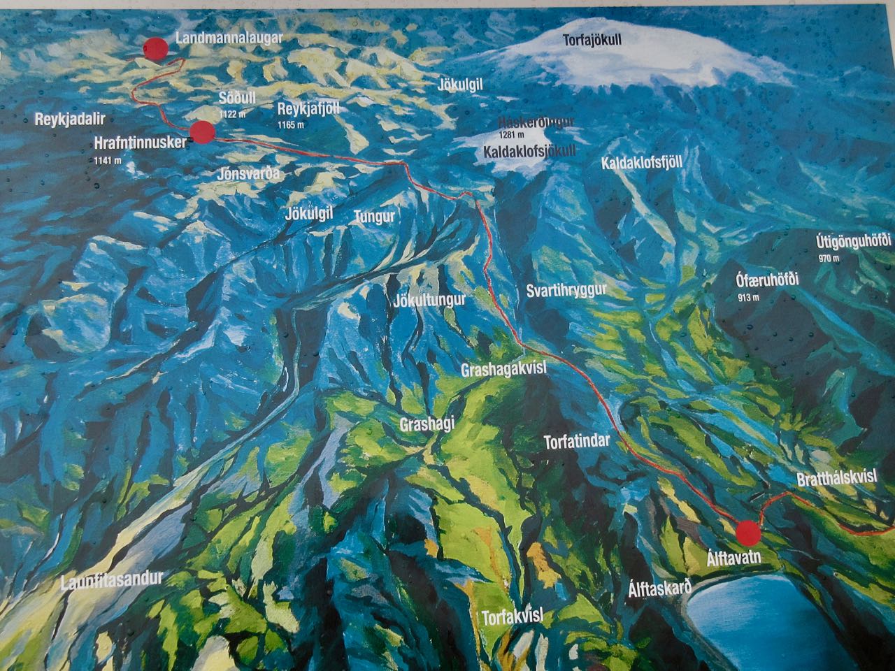
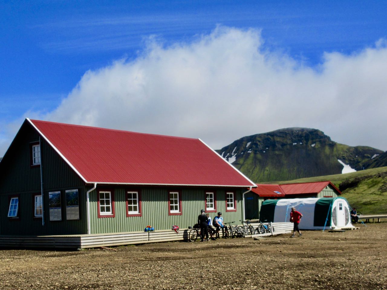
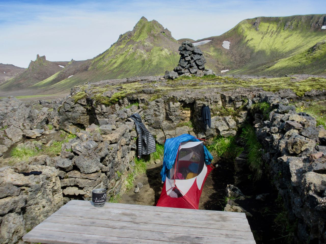
It only sleeps 36 so best bring a tent if you want to stop here. If the weather is cooperating, push on and over to Álftavatn as I did.
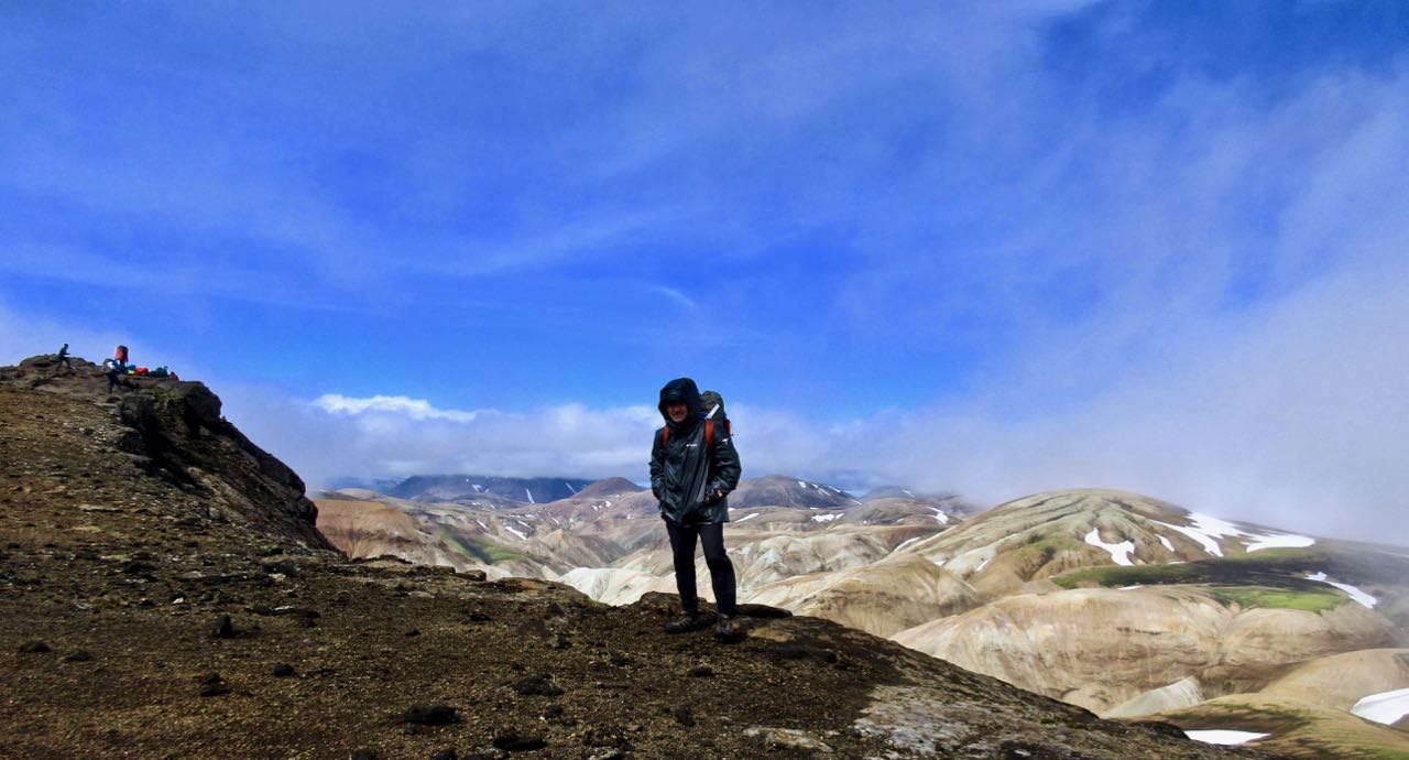
Happily and surprisingly the sky cleared. It was windy. But gorgeous.
Iceland is a dream destination for photographers. There are so many weird things to see. And the light is unusual.
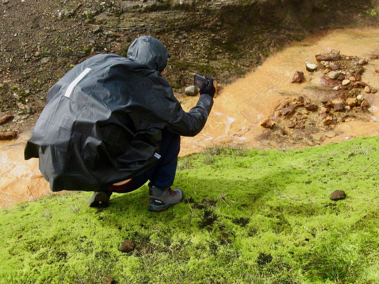
Of many bizarre and wonderful volcanic features, I liked the glassy black obsidian best. Many hikers add pieces to their backpack as souvenirs.
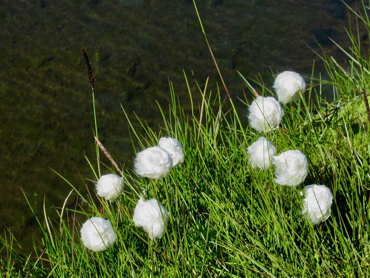
Of the plants, I liked tundra cotton best.
You cross the Torfajokull caldera, about 15km in diameter. It last erupted 1480. There’s a wide distribution of hot springs, mud pots and fumaroles.
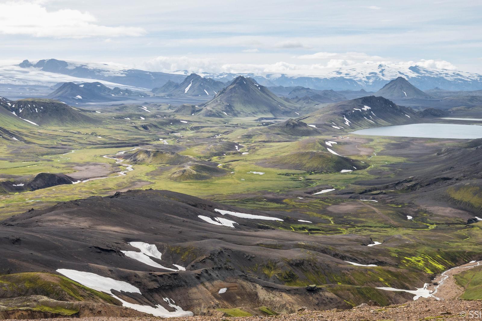
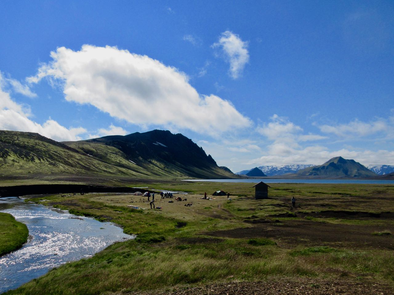
In good weather you can see Álftavatn (“Swan Lake”) from quite a distance
A team of Ultra-marathon runners (Benjamin Clark, Timothy Olson, Anna Frost, & Matt Trappe) journey to Bhutan to set a speed record on the world’s hardest trek.
But Bhutan’s Himalayan landscape isn’t welcoming to athletes unused to the conditions, and it’s inhabitants must be persuaded to let the runners pursue their dream.
The result is a shared accomplishment and an adventure that constantly teeters on the edge of total failure.
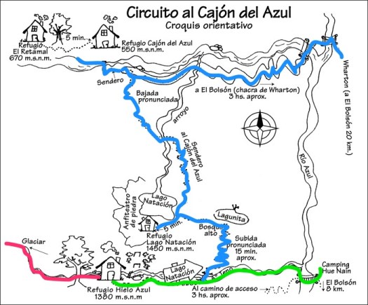
Getting to the trailhead at Camping Hue Nan is the most challenging navigation challenge.
You can road walk from El Bolsón as I did — 3 boring, dusty hours — or ask for bus directions to Camping Hue Nan. That trailhead may be changing. Check before you go. It was open to me February 2018.
Look for the Acceso Refugio Hielo Azul sign.
I used the free Maps.me app and it worked perfectly for the entire circuit. On the other hand, I wished I’d hired a taxi or found the bus rather than done 3 hours of road walking.
Alternatively, there’s a way to start and finish a circuit by bus at Warton. The most popular trailhead.
You could reverse my route too, of course.
El Bolsón, population 19,000 plus tourists is an excellent hiking town. It’s only 2 hours by bus from Bariloche, the bigger hiking destination in Argentina. Many hike both towns on the same trip.
Free registration is required. You don’t need to stick to your planned itinerary.
There are gear shops with camping fuel and fairly large grocery stores in town.
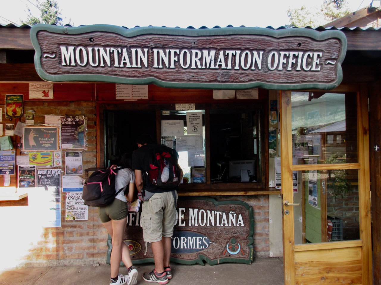
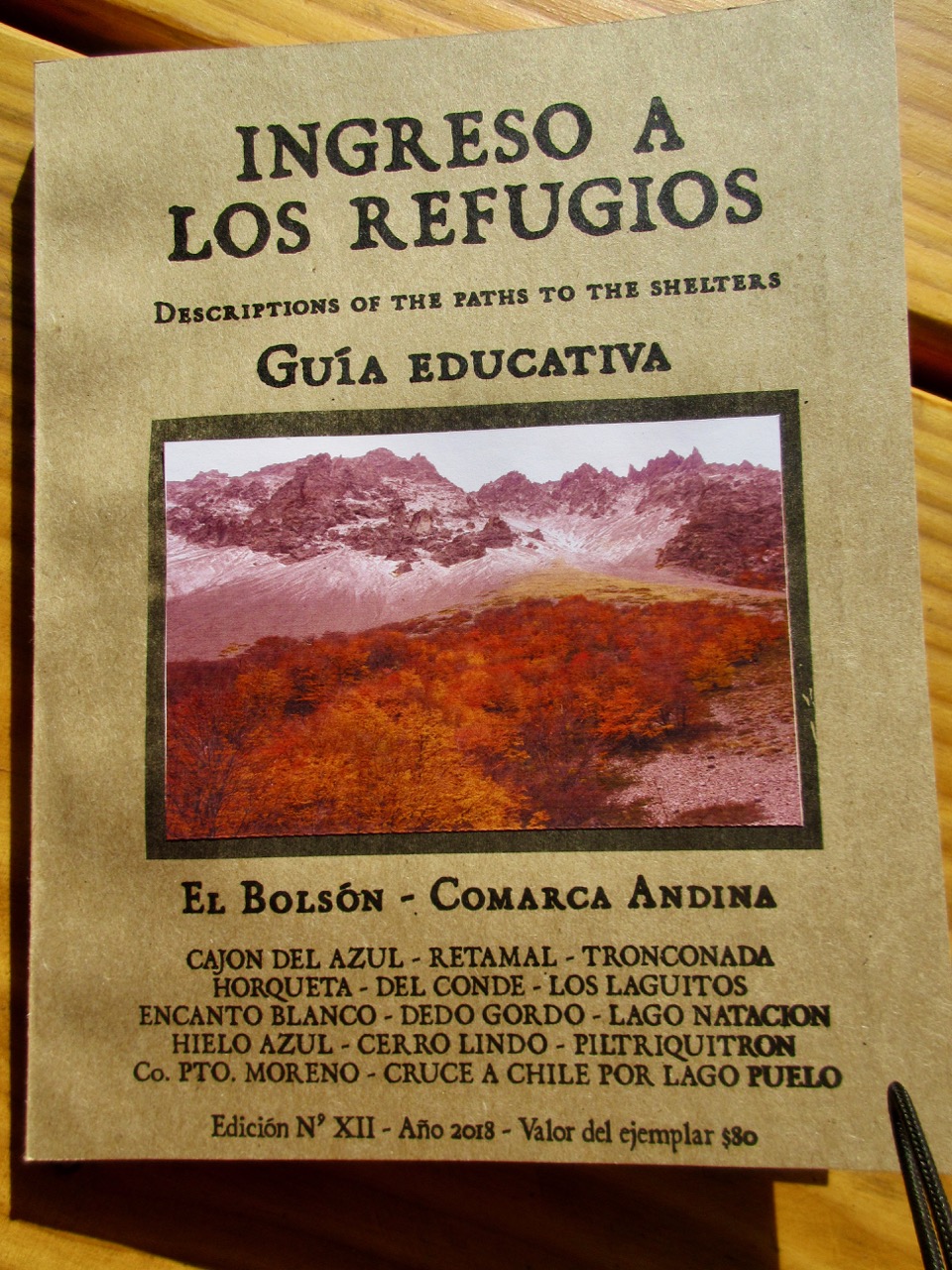
At the Mountain Information Office I bought a $4 amateur hiking guide partially translated to English. It’s not enough to navigate, but did provide some background information.
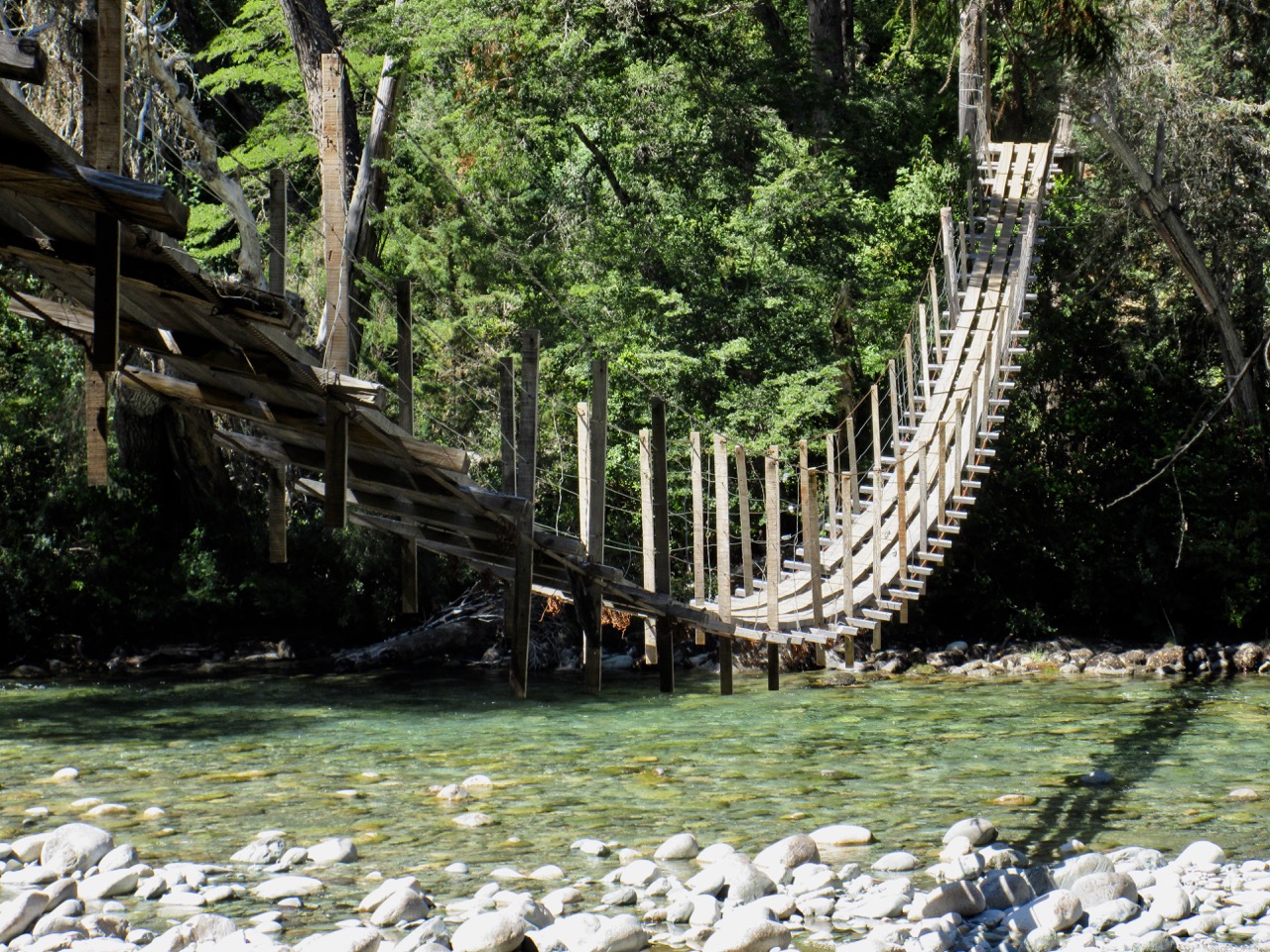
I was shocked to see some of the bridges here.
They are slowly being replaced by modern metal alternatives.
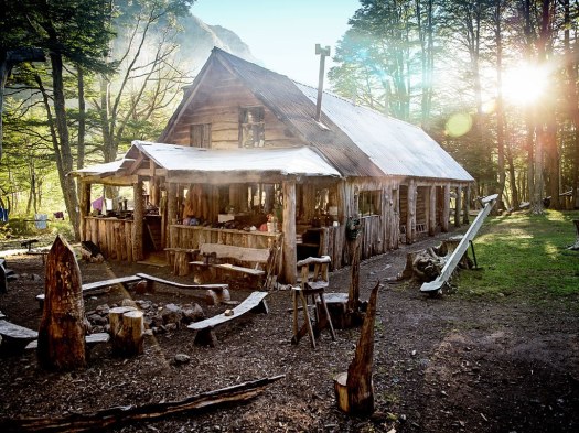
It was at least 1000m ascent and 4 hours up toHielo Azul Refugio. My favourite alpine hut by far.
I was so happy to get there — and felt so warmly welcomed by the woman who greeted me — that I signed up for an 8pm $20 stew meal. My most expensive dinner in Argentina. (I brought my own wine.)
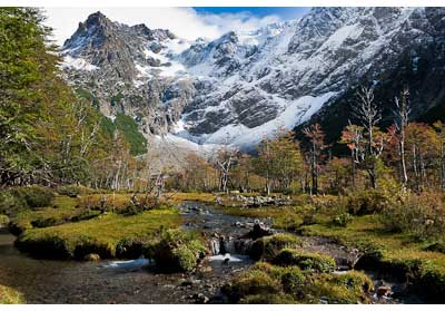
It really is paradise up here just below the glacier.
I paid $5 to tent.
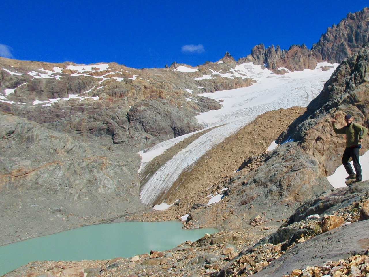
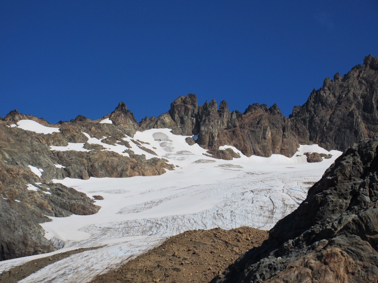
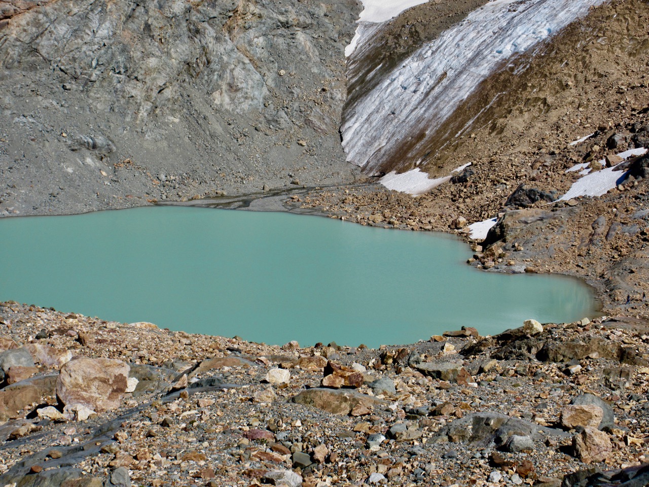
Next morning I first registered at the mountain hut then scrambled the steep, 90 minute route up to the glacier. Beautiful.
I had some lunch on my return. Then set off on the clearly marked trail to Refugio Lago Natacion. An easy add-on.
From Natacion down to the Azul Canyon, however, was surprisingly steep and overgrown. Not many people do the circuit, I suspect, because this one section is quite challenging.
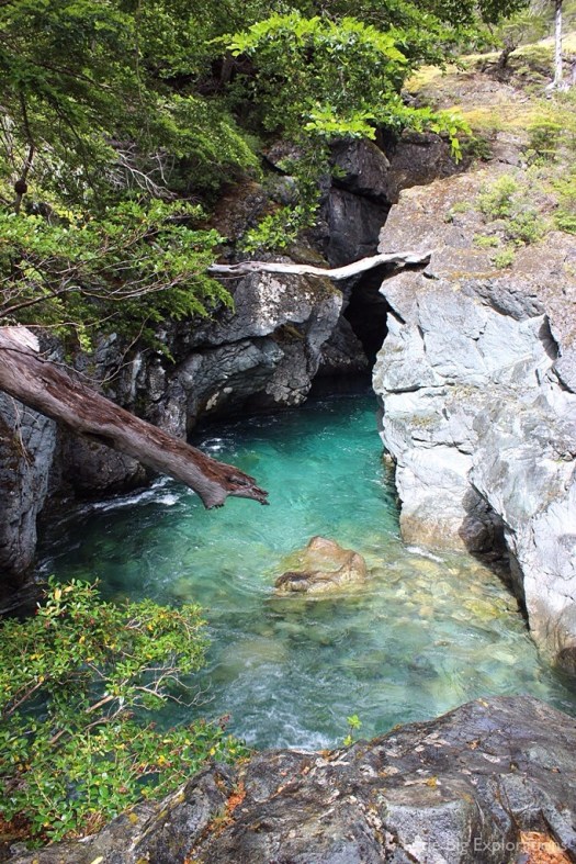
The canyon is impressive once you finally get there.
At one point you can straddle the gap, a long way above the crystal clear water!
I was reminded of Tiger Leaping Gorge. A tiger could easily leap this gorge, but not the one in China.
Tired, I decided to illegally wild camp by the river rather than walk the extra hour down to my designated refugio campground.
The trail out to Warton is a road accessible to motor vehicles. Swimming this river is the attraction, not the trail itself.
If my directions sound too sketchy, consider buying a map for about $10.
Aoneker 1:50,000 El Bolson (covers the following refuges: Co.Lindo, Hielo Azul, Natacion, Atillio & El Reramal)
Aoneker 1:120,000 Comarca Andina del Paralelo 42° (covers all the refuges in the El Bolson region)