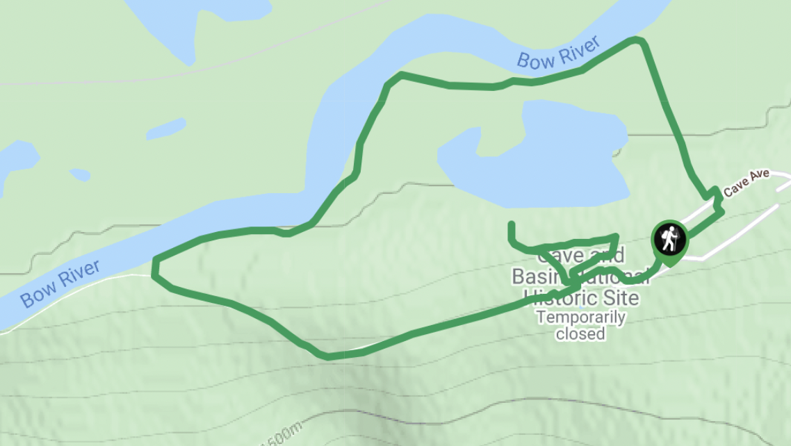
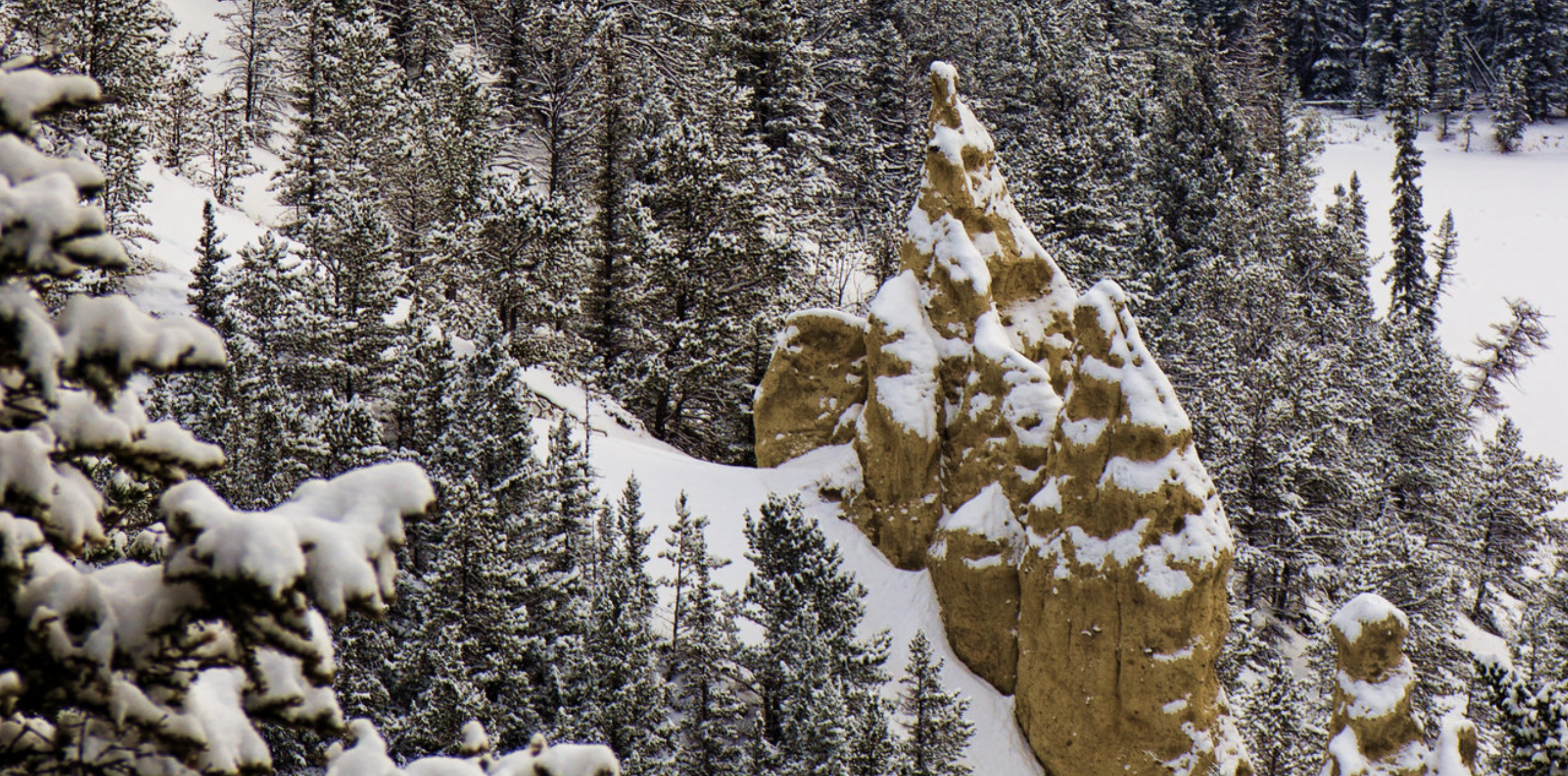
655 metres elevation gain on switchback trails — easy in the summer, but potential slippery and dangerous with snow and ice.
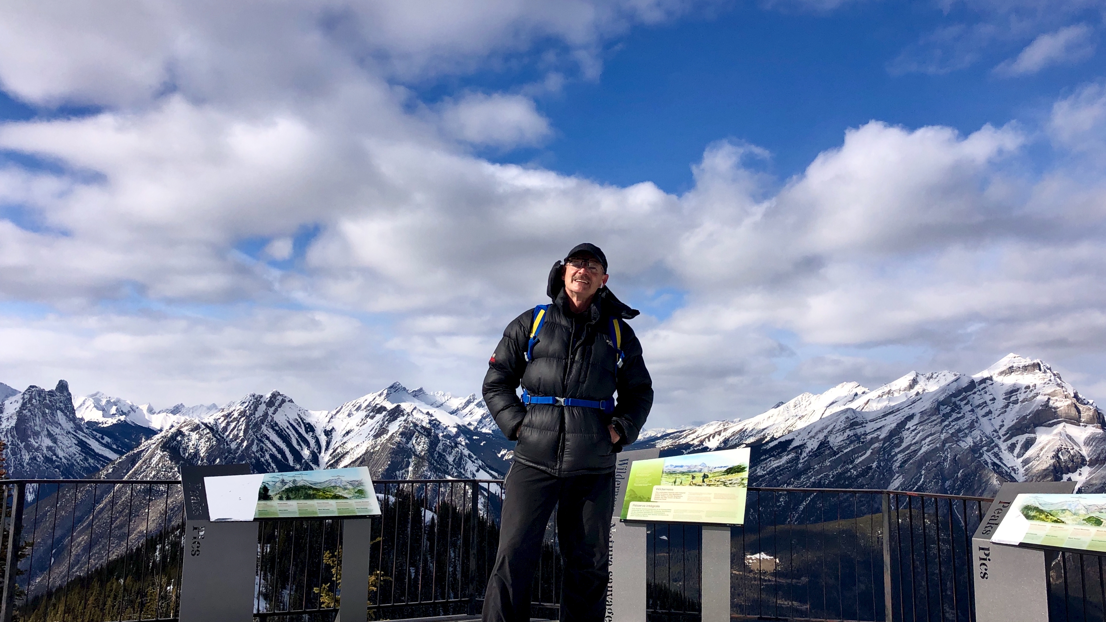
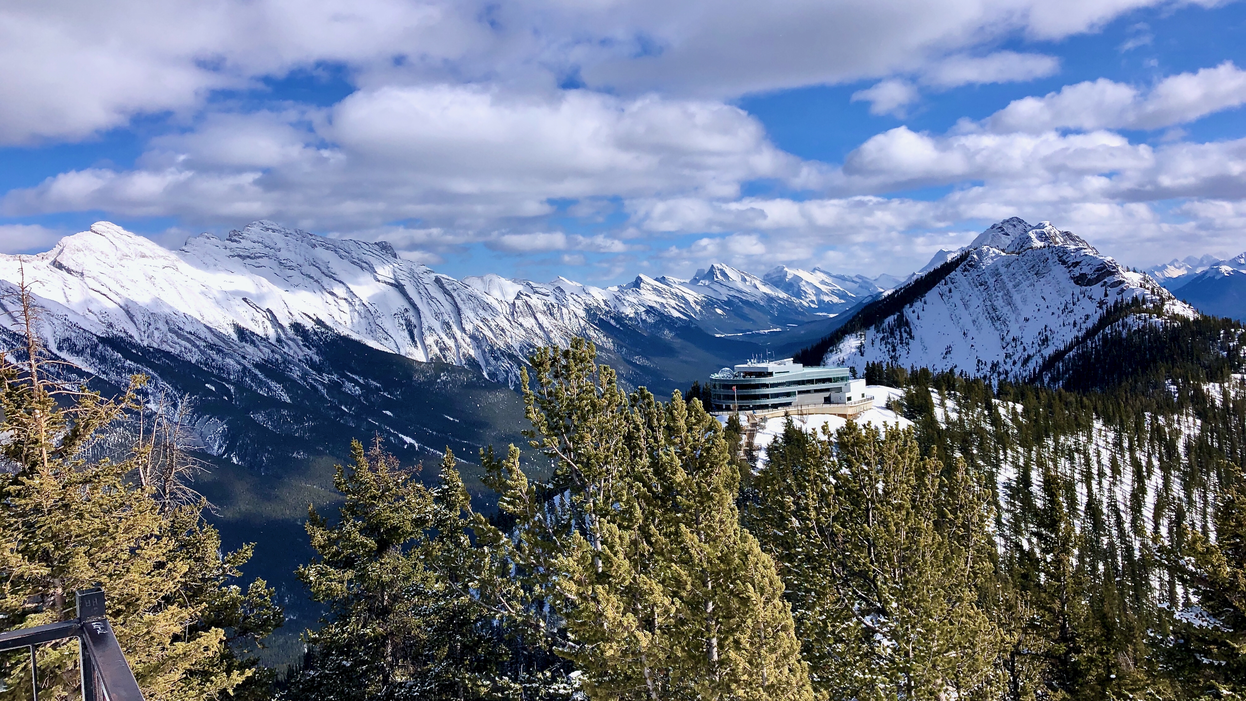
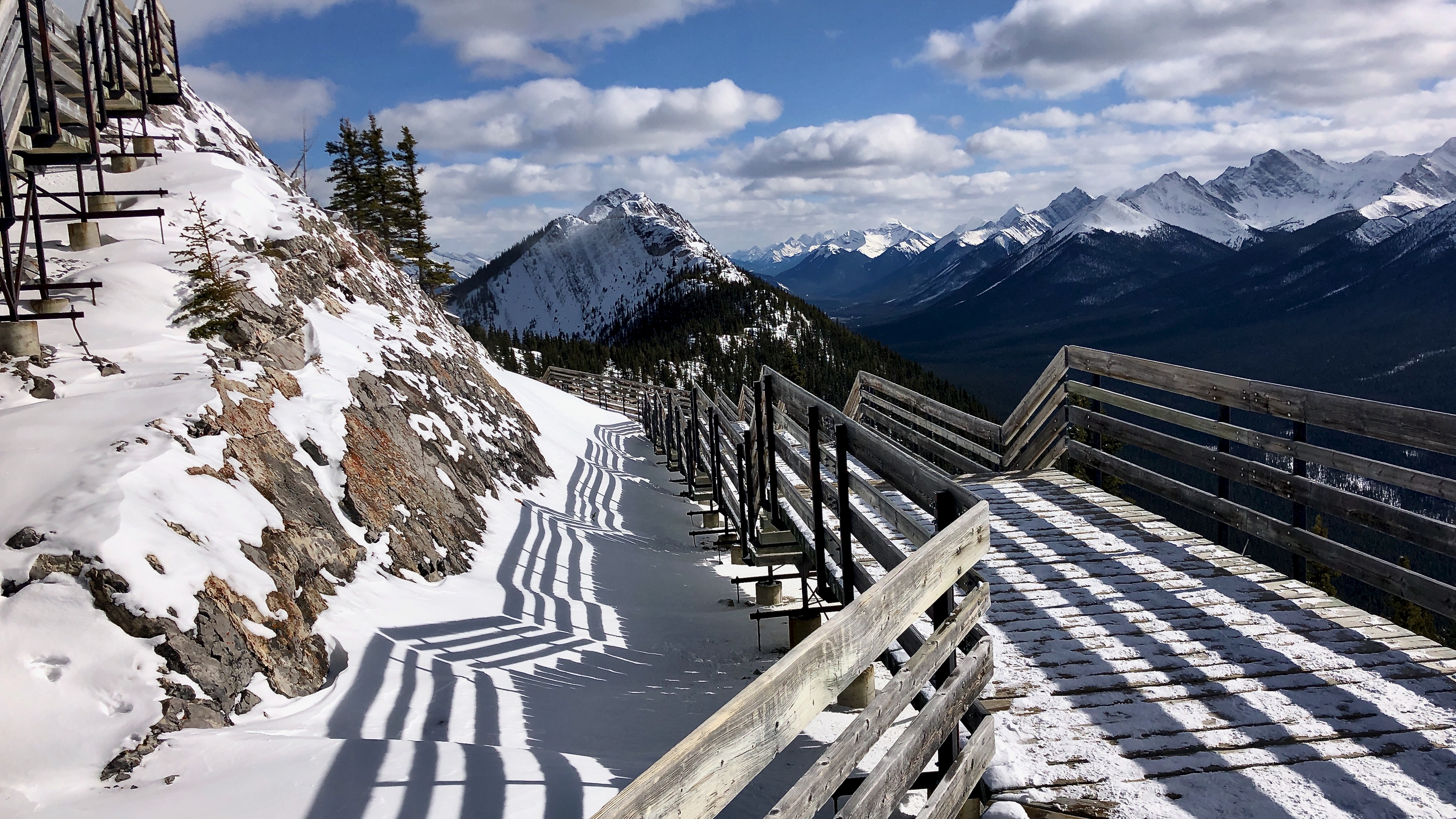
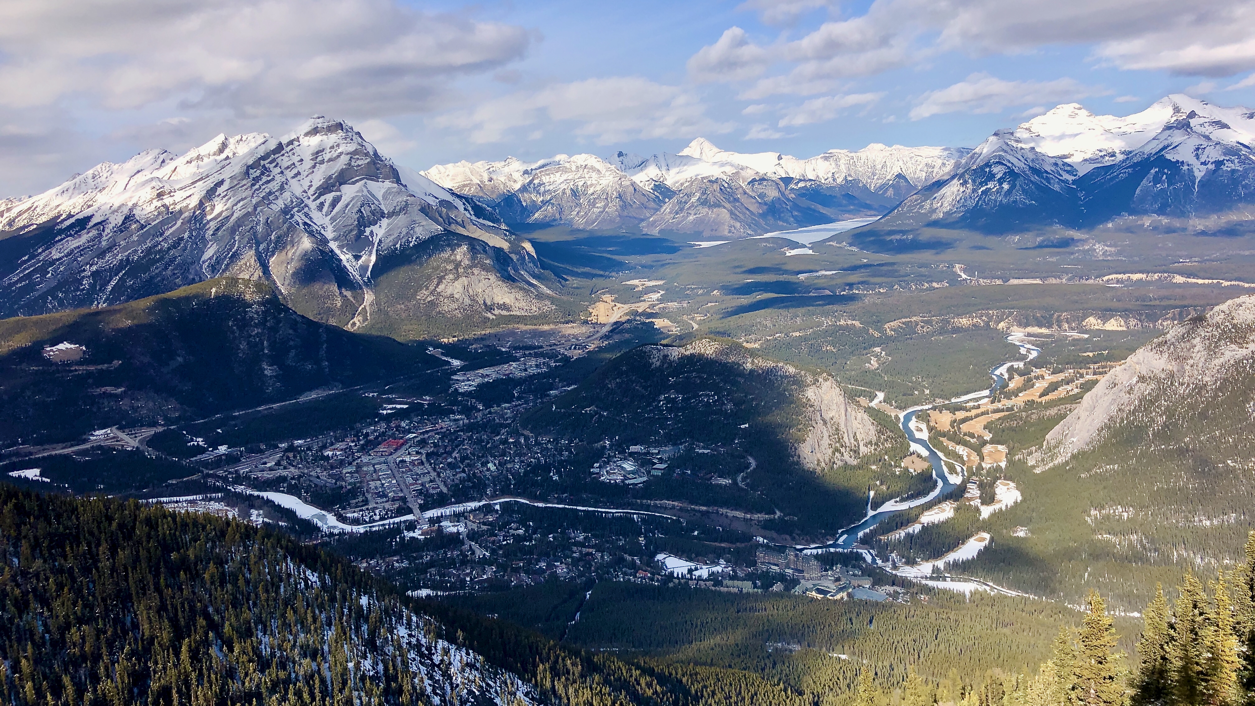
Once you reach the Sulphur Mountain Gondola top station, the best is yet to come. A network of trails along the ridge, and viewing decks at the gondola station, provide stunning views of Banff, the Bow Valley, and 360-degree views in every direction.
The highest point is the historic Cosmic Ray Station.
On return to the bottom, consider the short walk over to Banff Upper Hot Springs. Let’s call it recovery.
Click PLAY or see the Gondola and the Above Banff interpretive centre on YouTube.
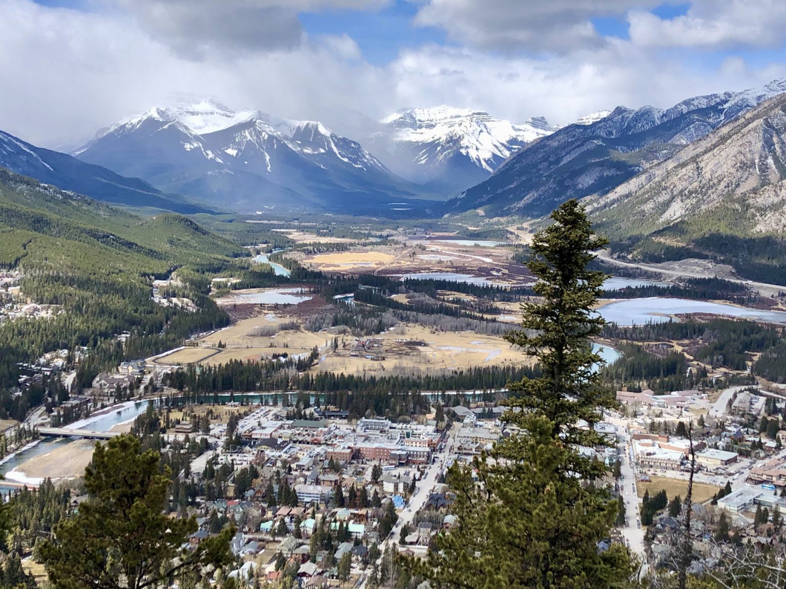
Climbing Tunnel is super popular year round as the trail is well graded. In winter many folks bring hiking poles and ice cleats as there are slippery and icy sections.
On January 4, Lukasz Supergan started a 1,080km trek across his native Poland.
Beginning in the Izerskie Mountains, he combined several long trails so that he could hike across the Polish Mountains and end at the Ukrainian border. After 48 days and 16 hours, he reached the Bukowka Pass on the Bieszczady Mountains and finished his crossing. …
Pestered by wasps and other biting insects on those two earlier trips, I deliberately returned late season. No bugs.
This time I headed for the Troubridge Trudge section:
Oct 24 – Lang Bay to Golden Stanley hut (km 145) Oct 25 – Golden Stanley to Mt Troubridge hut (km 158) Oct 26 – Troubridge to Fairview Bay hut (km 173) Oct 27 – Fairview to Lang Bay (km 180)
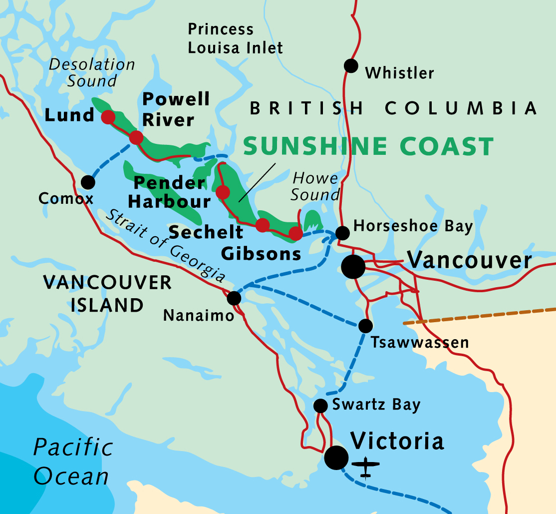
You can hike 42km in either direction. It’s called the trudge as this is the highest section of the Sunshine Coast Trail.
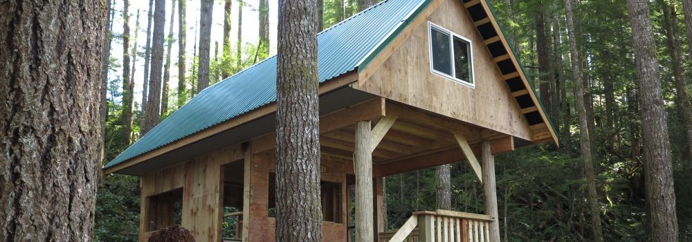
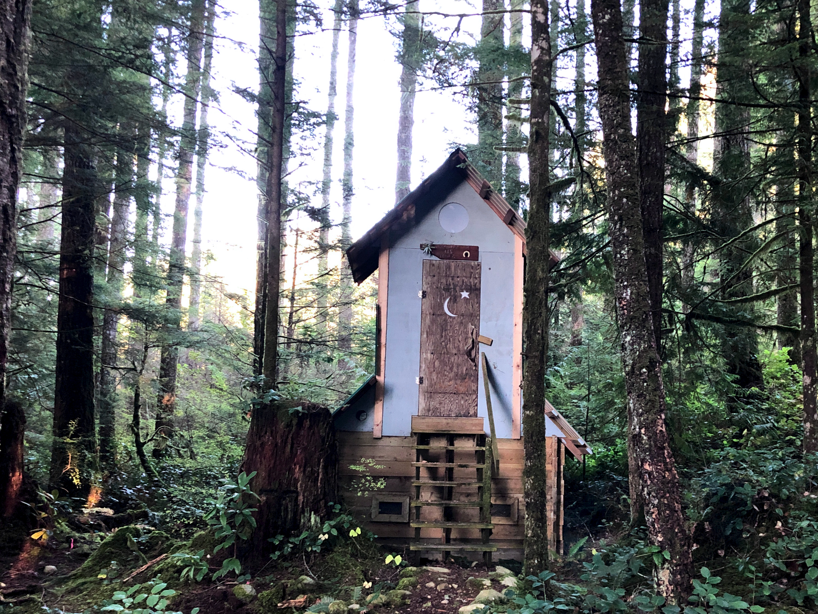
I assumed I’d have Troubridge hut to myself again when Chris and his dog arrived. Rather than sharing a small space, Chris took the A-frame. I stayed in the hut on my own.
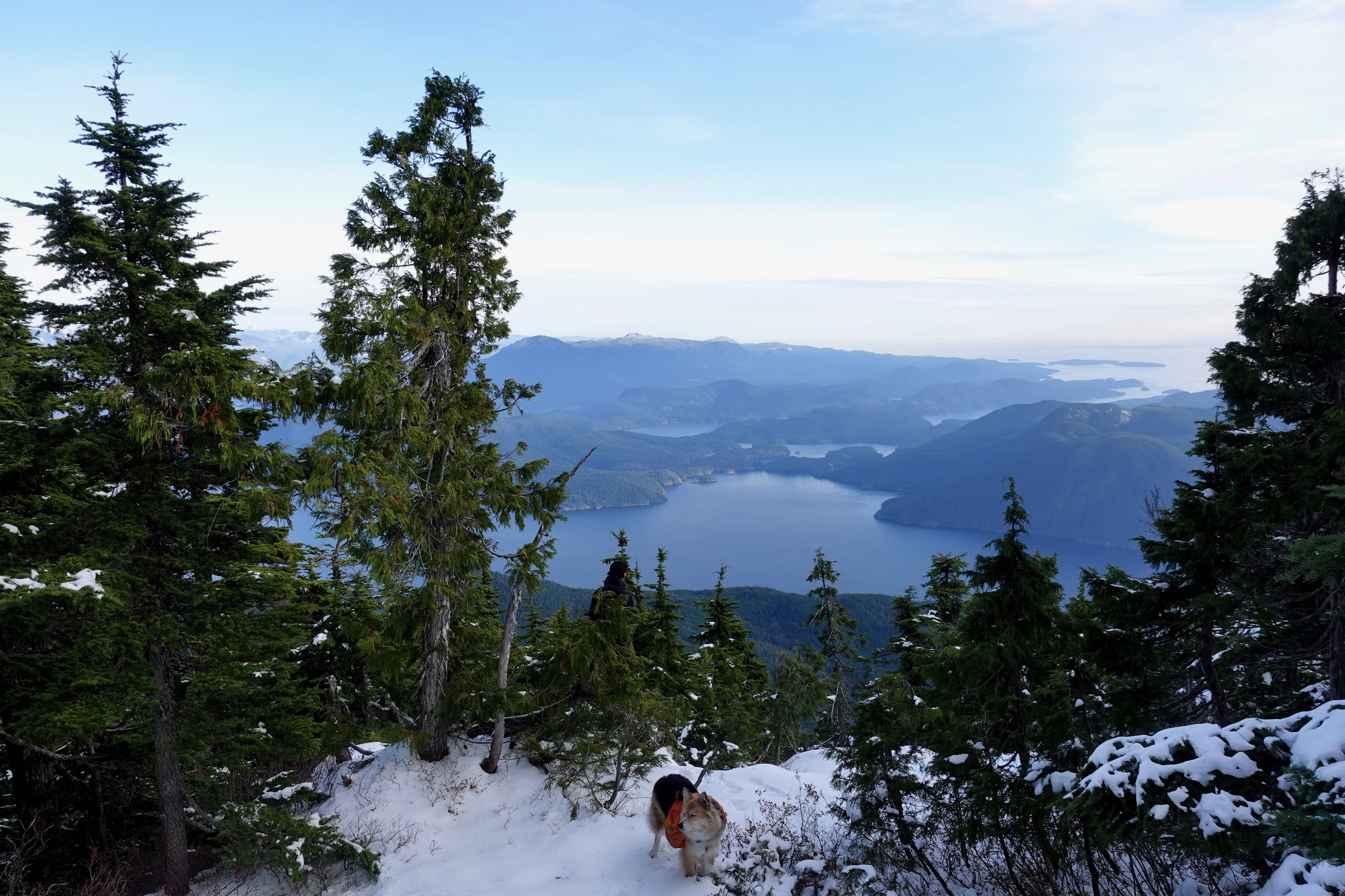
He had the views of Jervis inlet and could see all the way to Powell River.
Turns out winter camping is quite comfortable — when you can sleep in a hut rather than a tent.
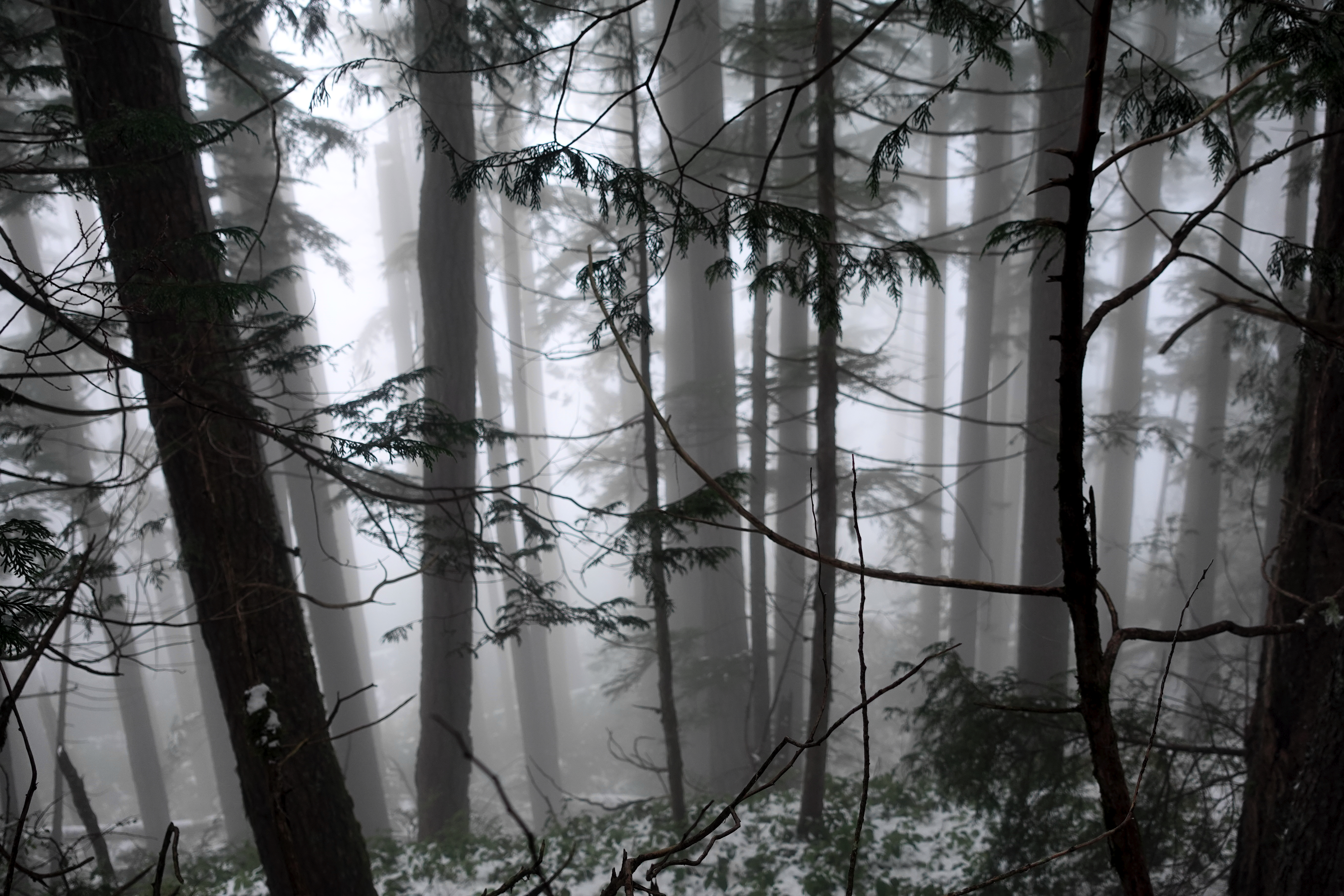
I took plenty of winter wonderland video. And later managed to accidentally delete most of it. Somehow. 😕
Oct 26 – Troubridge to Fairview Bay hut (km 173)
More good weather. I was worried the descent might be slippery, but new snow was mostly grippy. No problems in approach shoes.
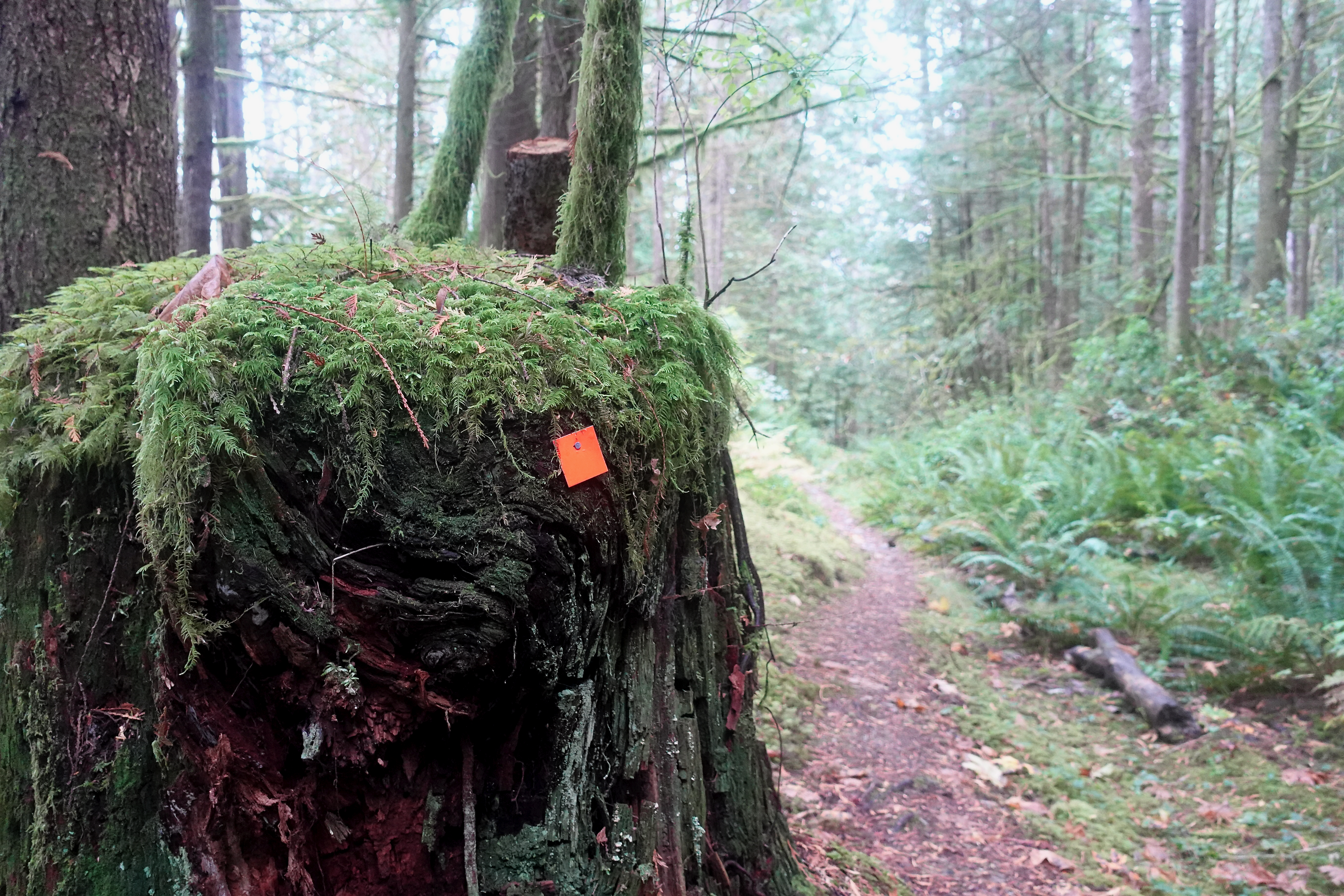
Navigation no problem in winter either.
I stopped 800m lower for lunch at Rainy Day lake (km 169) which has a hut.
Winter hiking is much different than doing the same thing in summer.
Eventually snow disappeared. Went away. Like magic. 😀
I too carried 8 days food with faint hope of continuing on the Traverse. But decided it was too difficult, remote and dangerous to do solo. What if I got hurt?
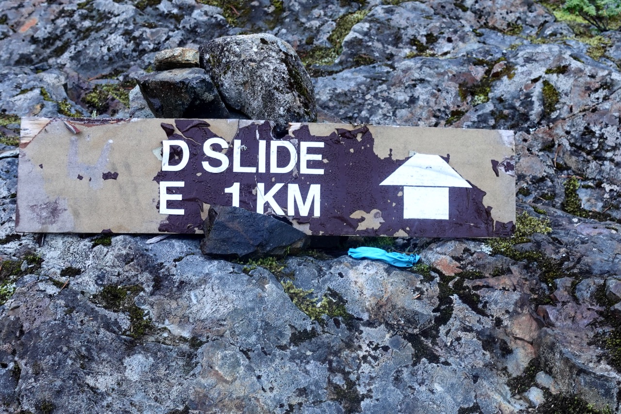
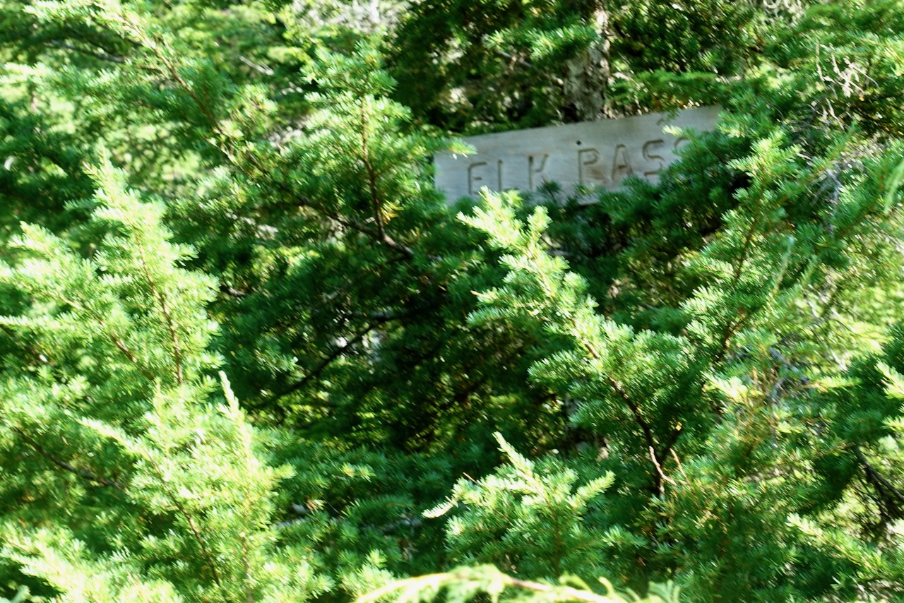
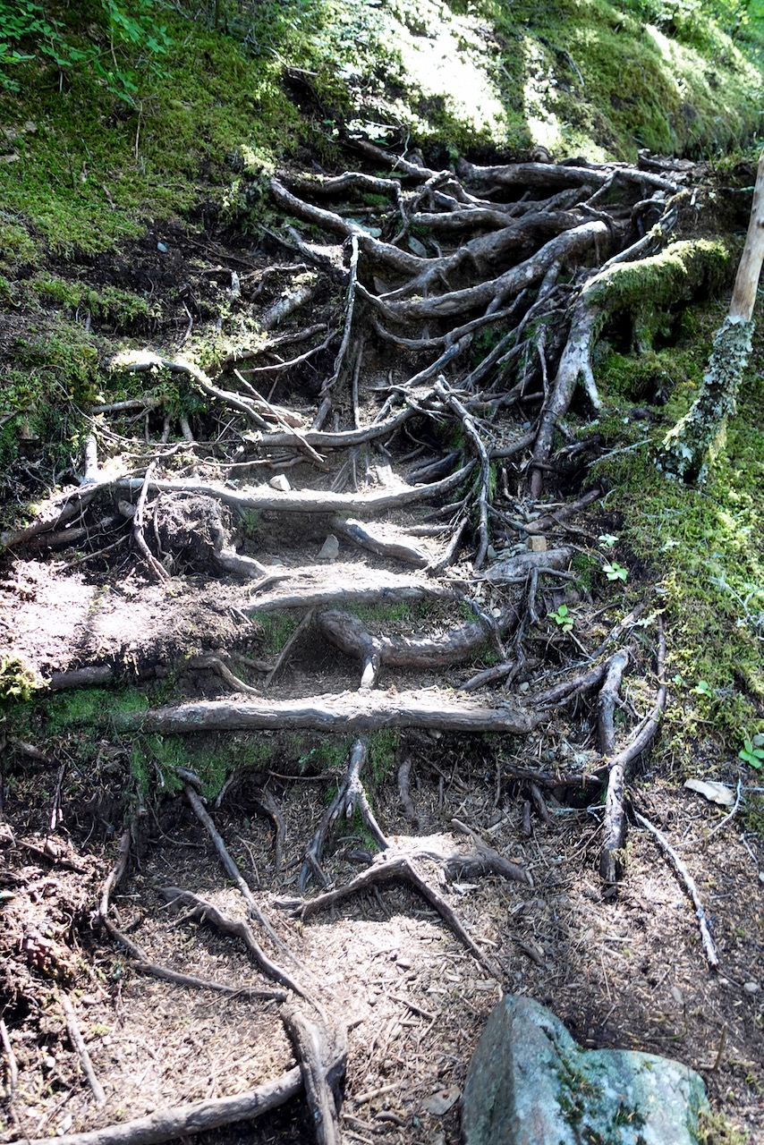
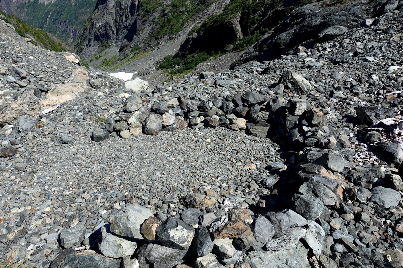
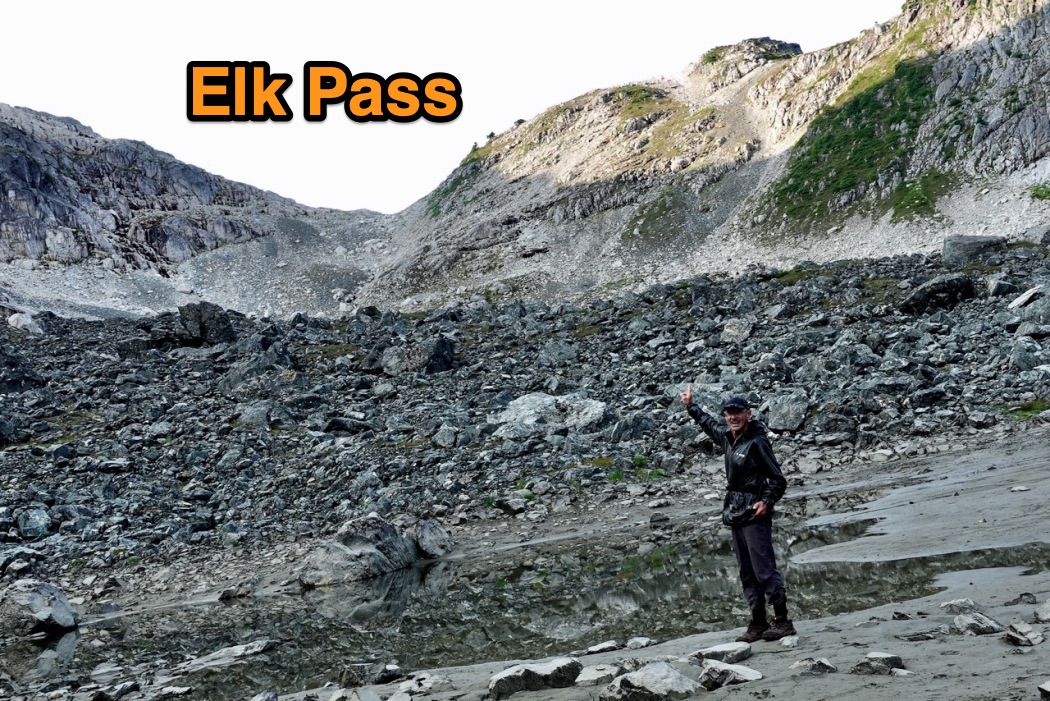
In fact, I fell badly twice on the Elk Pass trail: scratches and bruises.
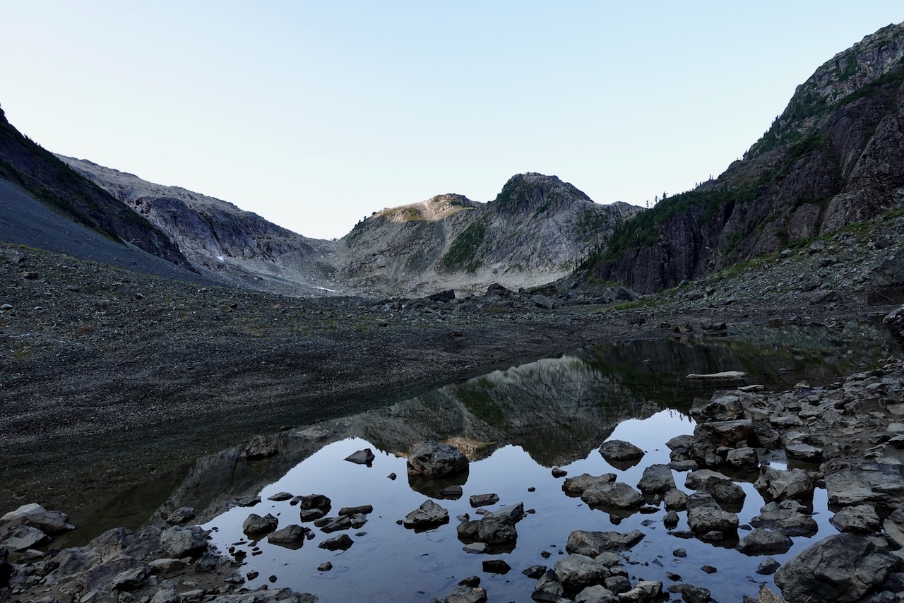
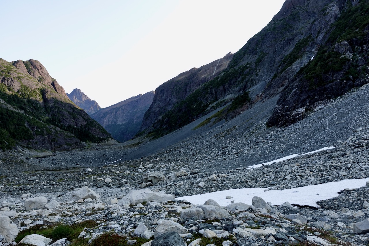
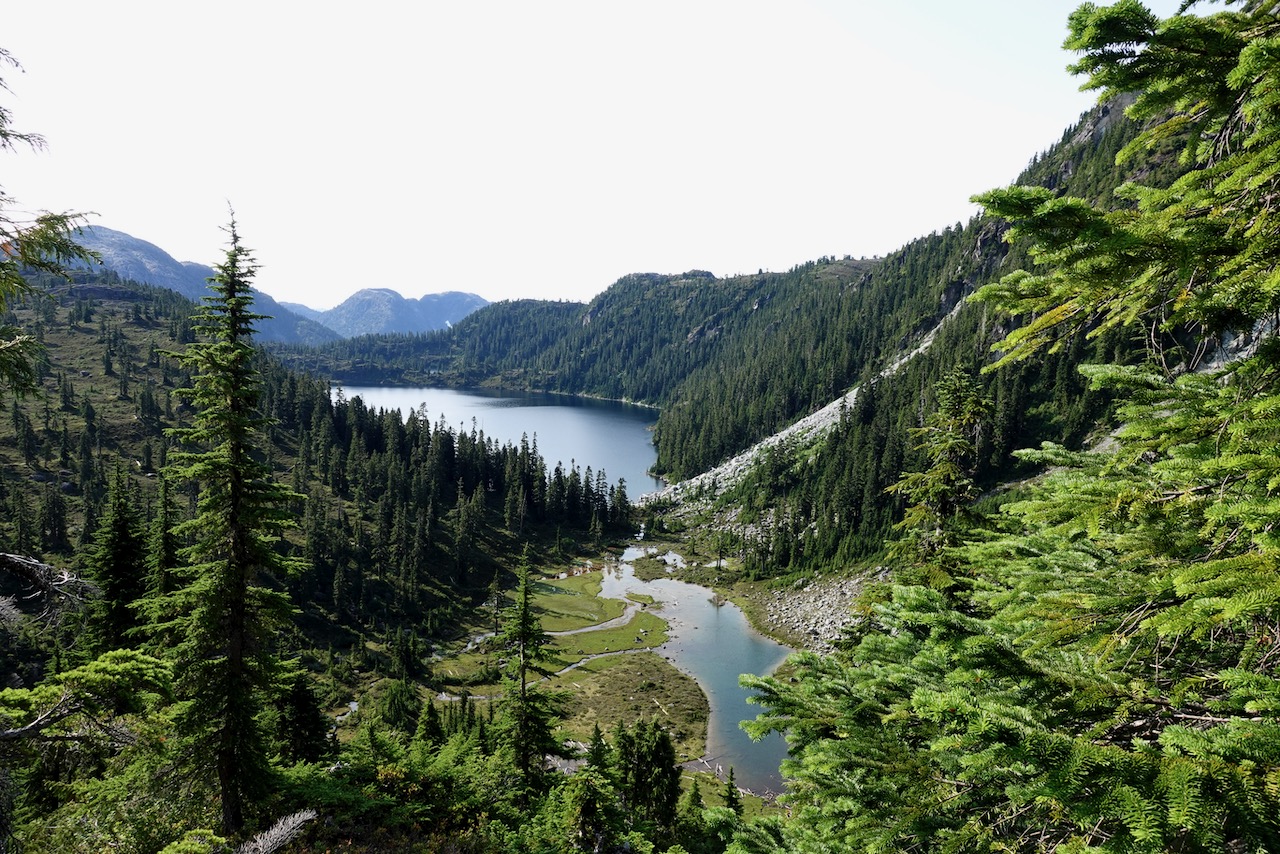
But I did continue part way over the Pass towards this large unnamed lake, a continuation of the Traverse.
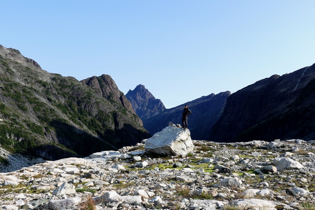
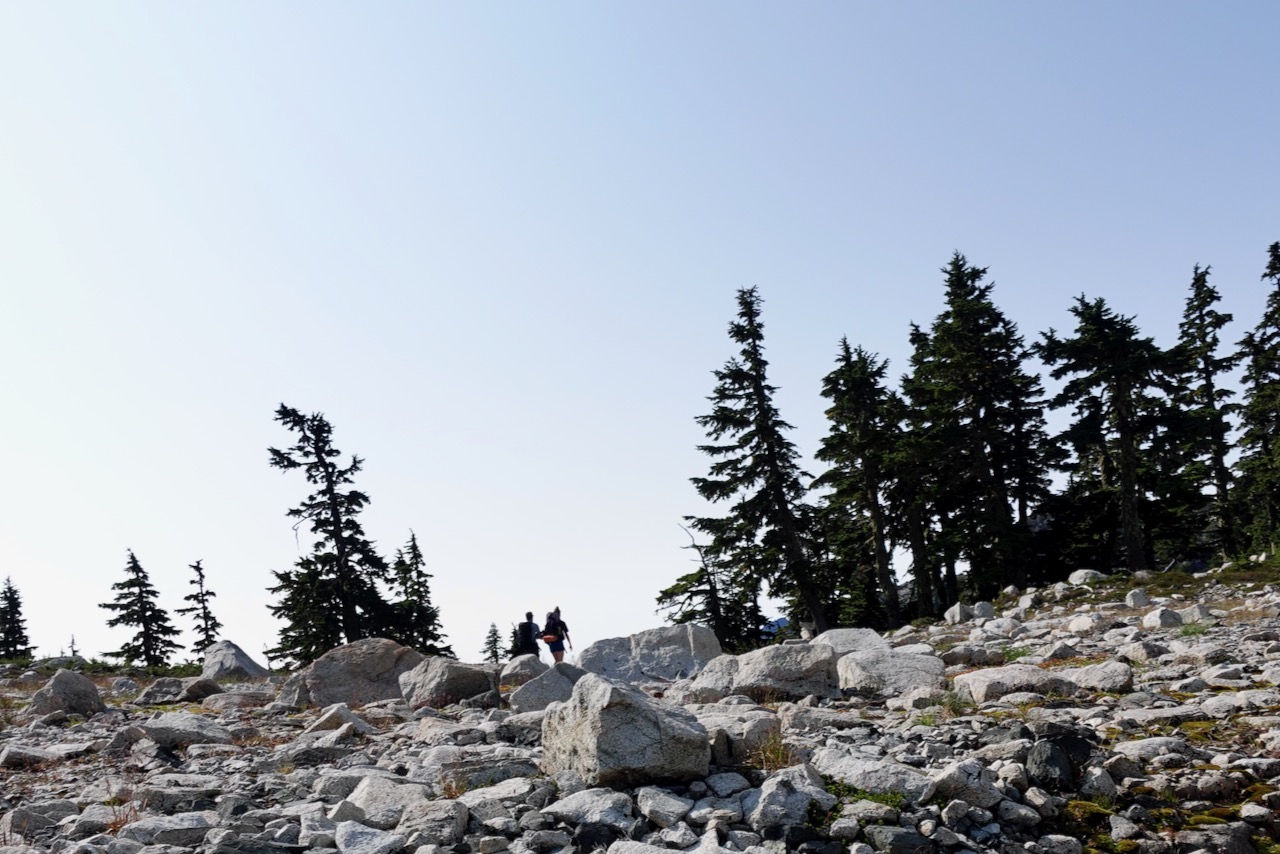
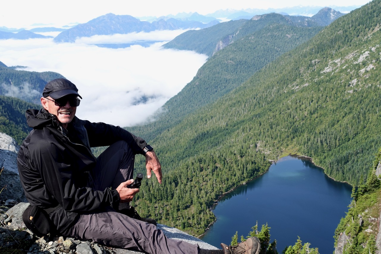
Backtracking, I decided to traverse/scramble up to the next pass to the S.W. of Elk. That turned out to be the highlight.
Big vistas over low clouds.
From there it was down, down, down. Back into the trees.
I found hiking down even more challenging than on the way up.
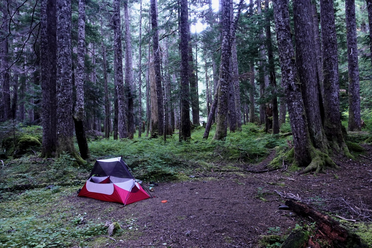
It was nearly 6pm by the time I reached“Hemlock”, the unofficial camp I’d missed the previous night.
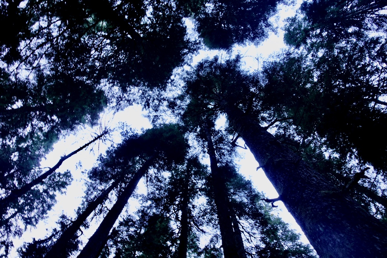
It’s named for huge Hemlock trees.
About 8pm I began hearing bombs dropping.
Loud.
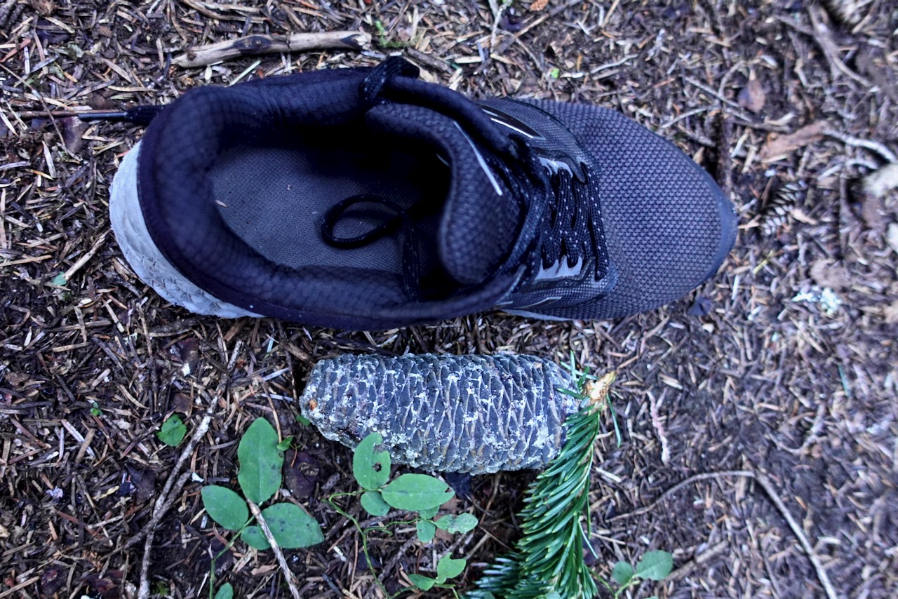
Turns out it was a squirrel cutting down pinecones. From on high.
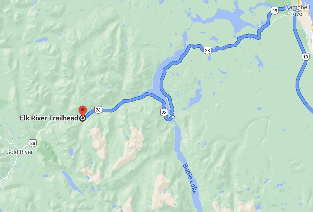
Next morning I returned to the highway via the Elk River trail.
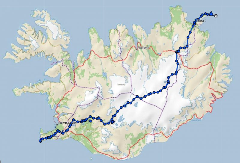
Iðunn Bragadóttir and her 20-year-old daughter, Þóra Dagný Stefánsdóttir, have spent 32 days traversing Iceland. The duo started on the Reykjanes peninsula and hiked diagonally, southwest to northeast, across the country to Langanes Point.
The 786km route is one of the longest possible ways to traverse Iceland. …