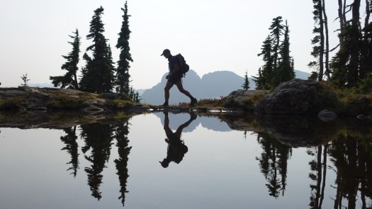
Trip report by BestHike editor Rick McCharles
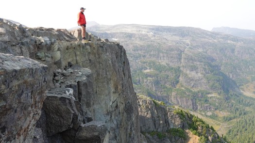
Directly from Innsbruck city centre, you can ride the Nordkette Cable Car to Hafelekar station (2,269m).

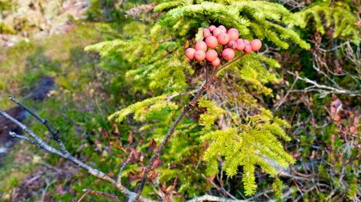
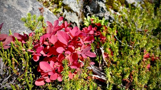
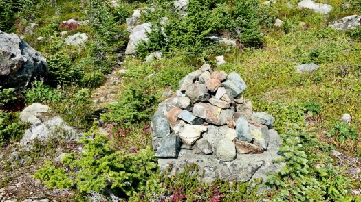
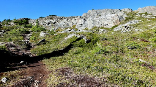
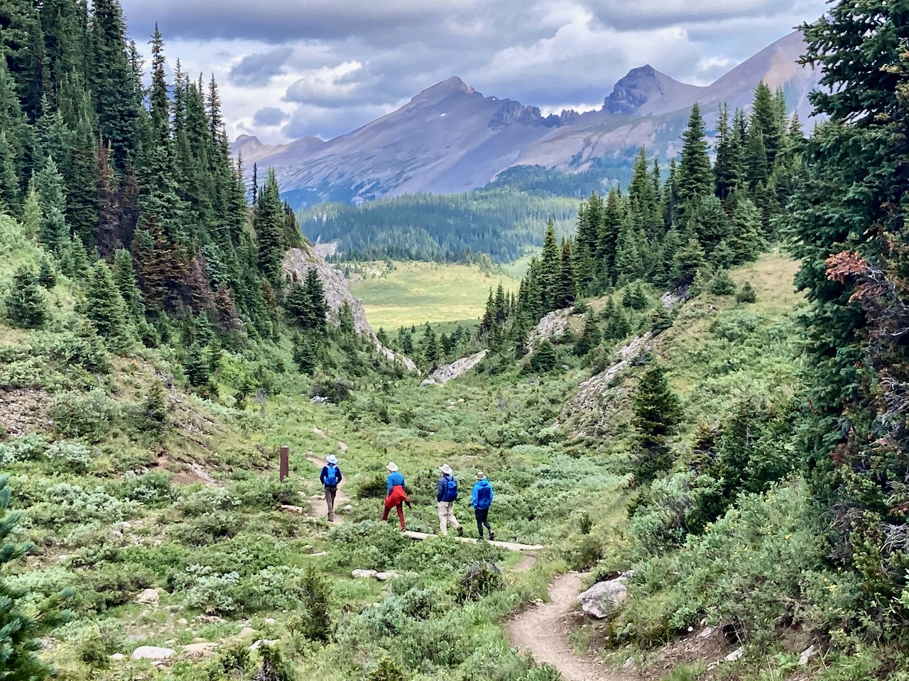
I did the surprisingly rugged hike from the Top of Innsbruck to Pfeishütte — for a delicious pasta lunch.
Click PLAY or watch it on YouTube.
It’s called Goetheweg: Karstube to Pfeishütte on AllTrails.
- 6.8km one way (13.6 return plus side trips)
- 330 m elevation gain one way
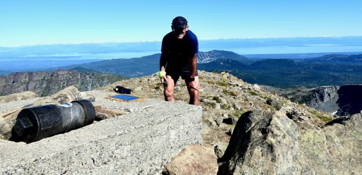
- see Zugspitze: the highest mountain in Germany
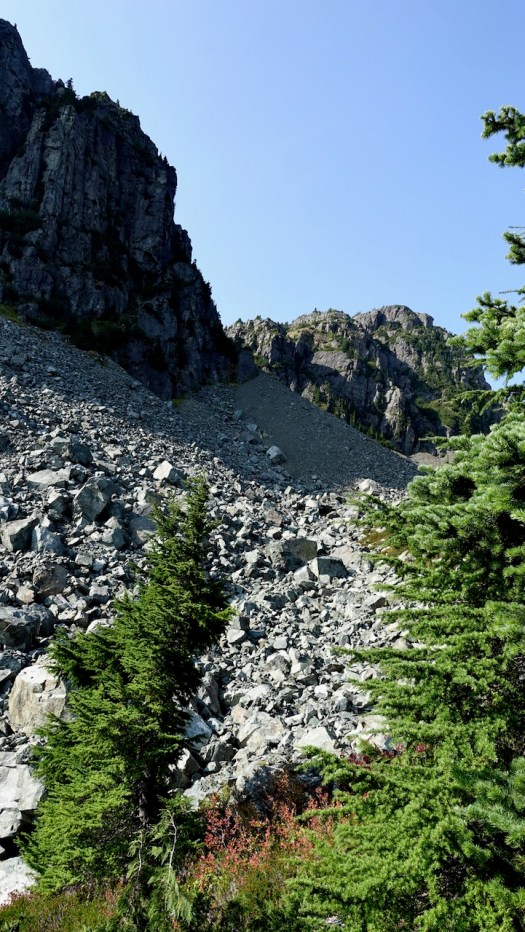
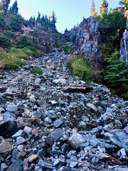
You might guess the challenge is ridge walking — but there’s nothing with exposure.
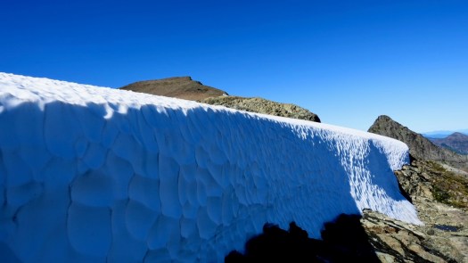
I was wearing trail running shoes in late June. And they were NOT sufficient for the snow, ice, and loose scree. At minimum wear approach shoes. Most Europeans were wearing light hiking boots.
Poles would help for sure. If I did it again I’d carry YakTrax, just in case.
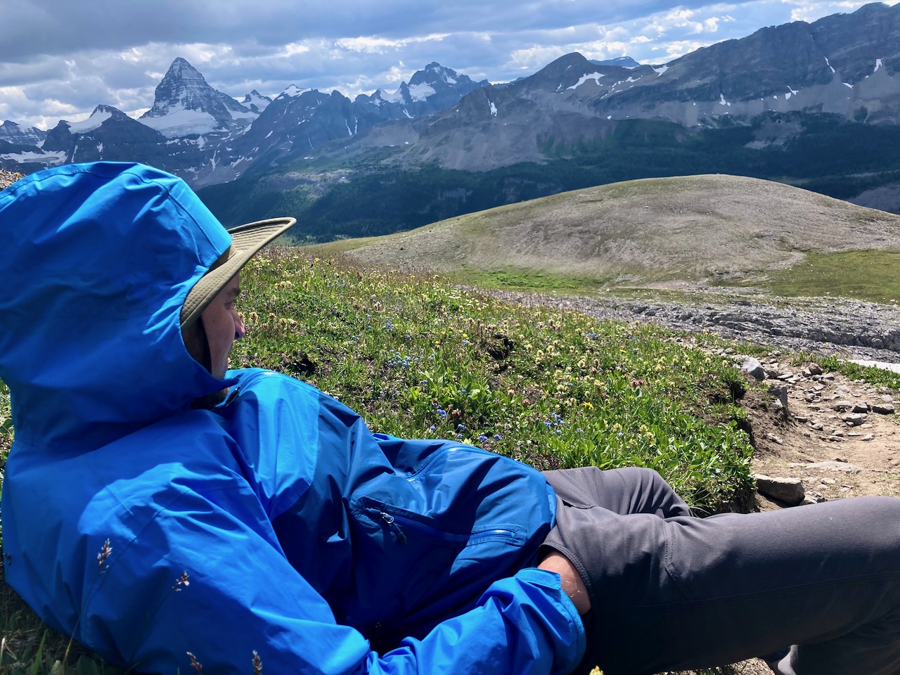
The weather kept changing. My jacket went on and off a dozen times.
Your lift ticket includes entry to the Alpenzoo which we did on the way back to Innsbruck.
It’s small, but well worth the stop. The focus is on animals indigenous to the Alps, though there are over 150 animal species. It’s built on the vertical slope of the mountain.
I was most enthusiastic to see the European Brown Bear and Lynx.


If you get to Innsbruck, this hike is highly recommended. A terrific hiking day.
Note ➙ it’s Europe, so there are easily a dozen variations to this route. You do not need to backtrack, for example. 10Adventures suggests hiking late in the day — sleeping at Pfeishütte — and walking out day two.