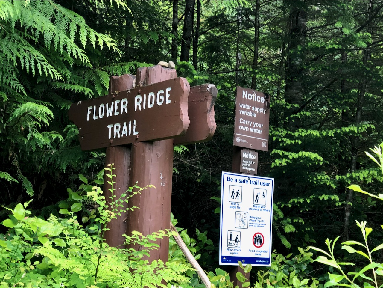
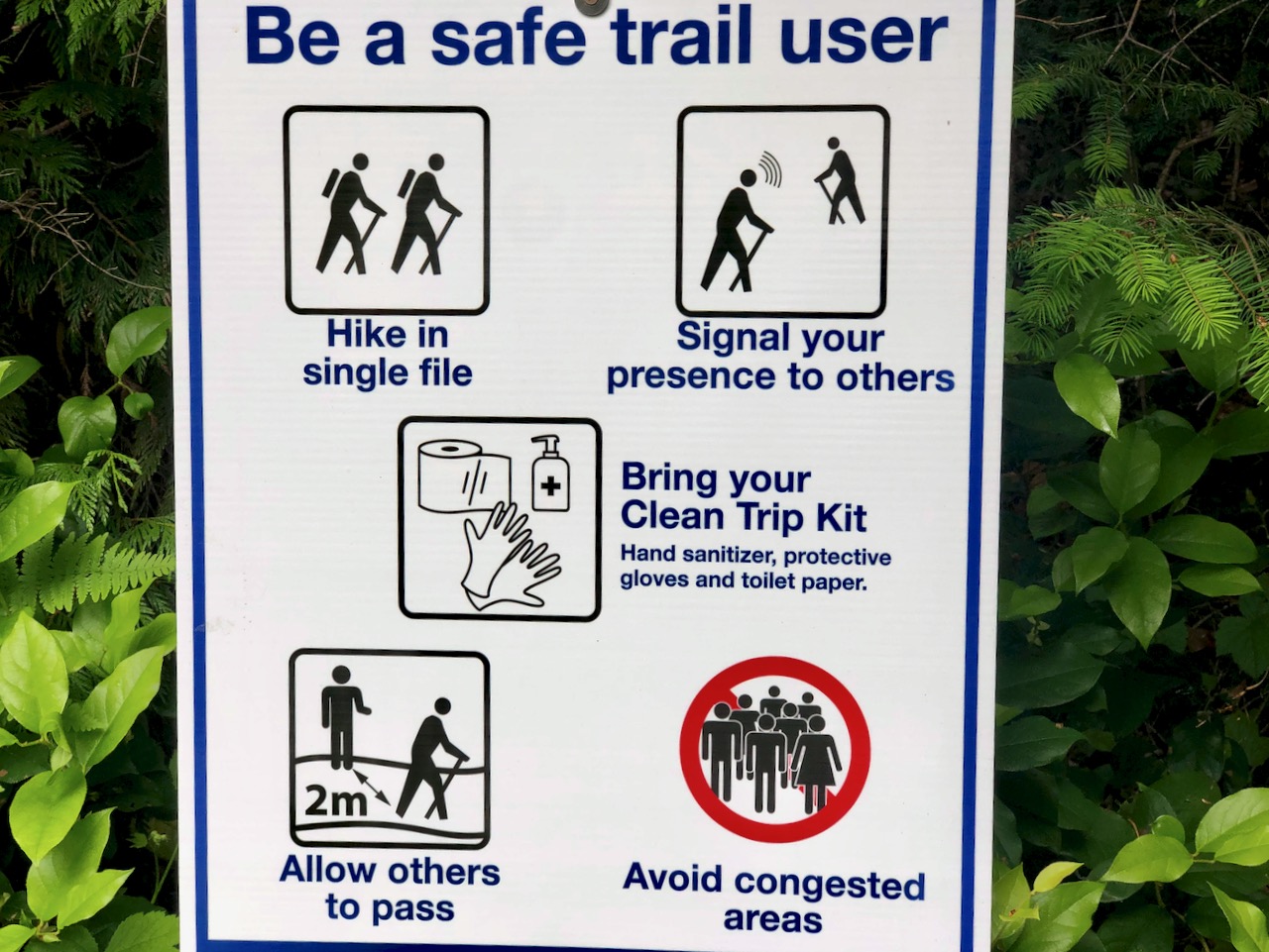
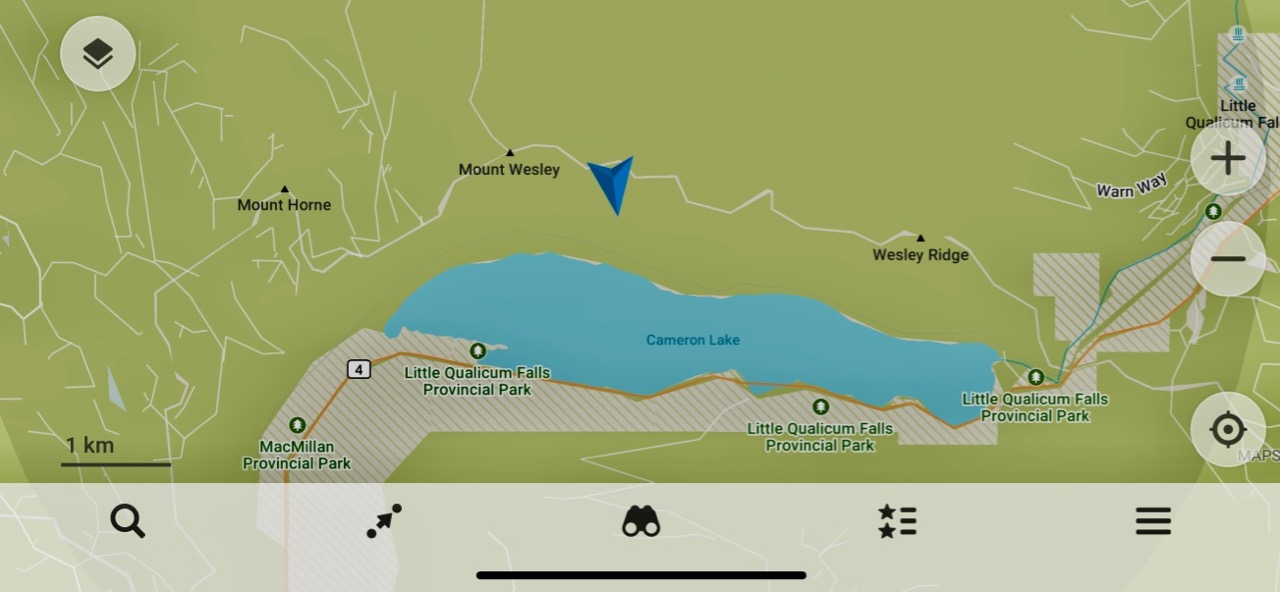
Strathcona Park had just opened following the COVID-19 shutdown.
The previous day I’d tried King’s Peak with a light day pack. Didn’t get higher than 770m due to high creeks.
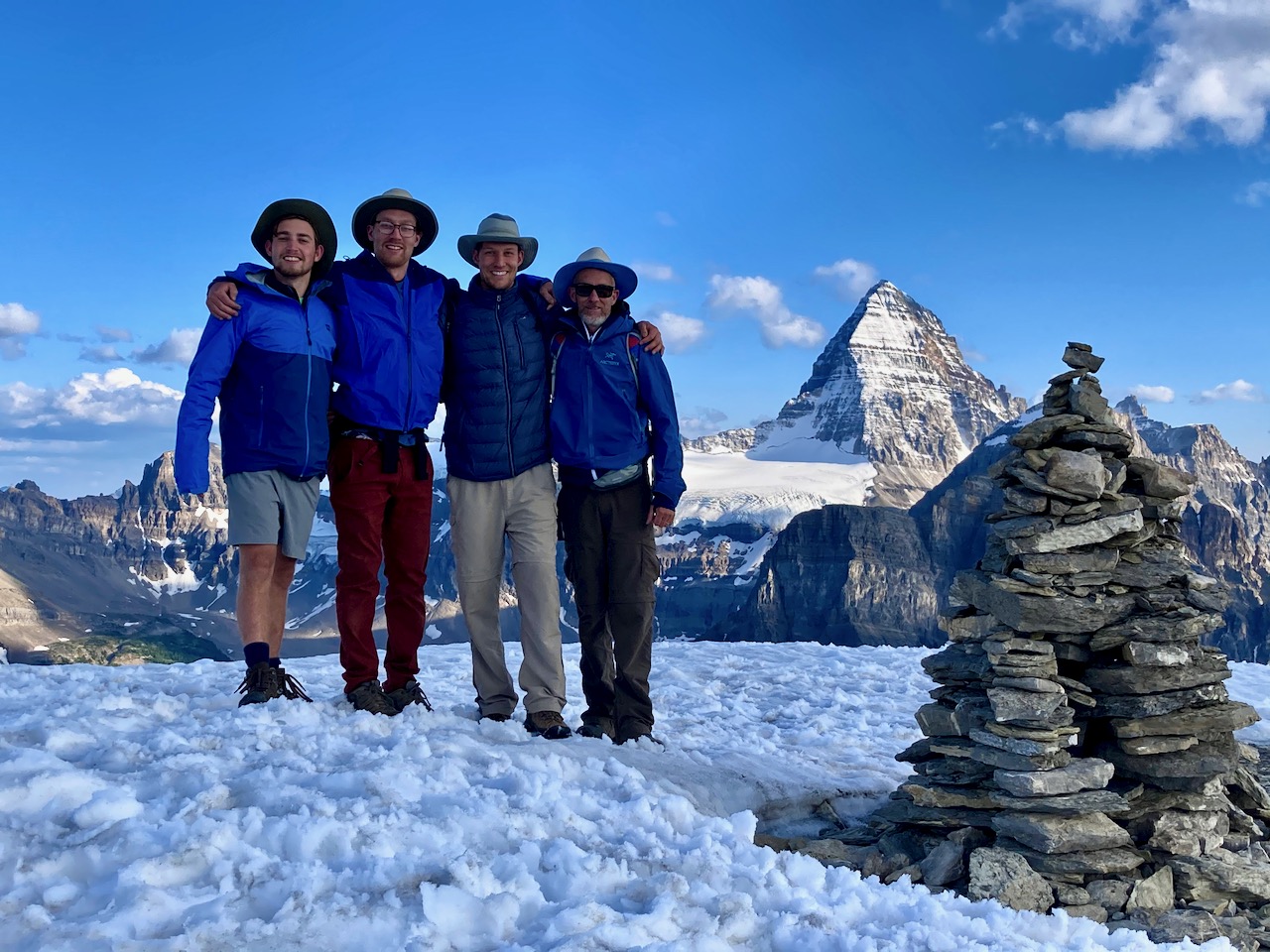
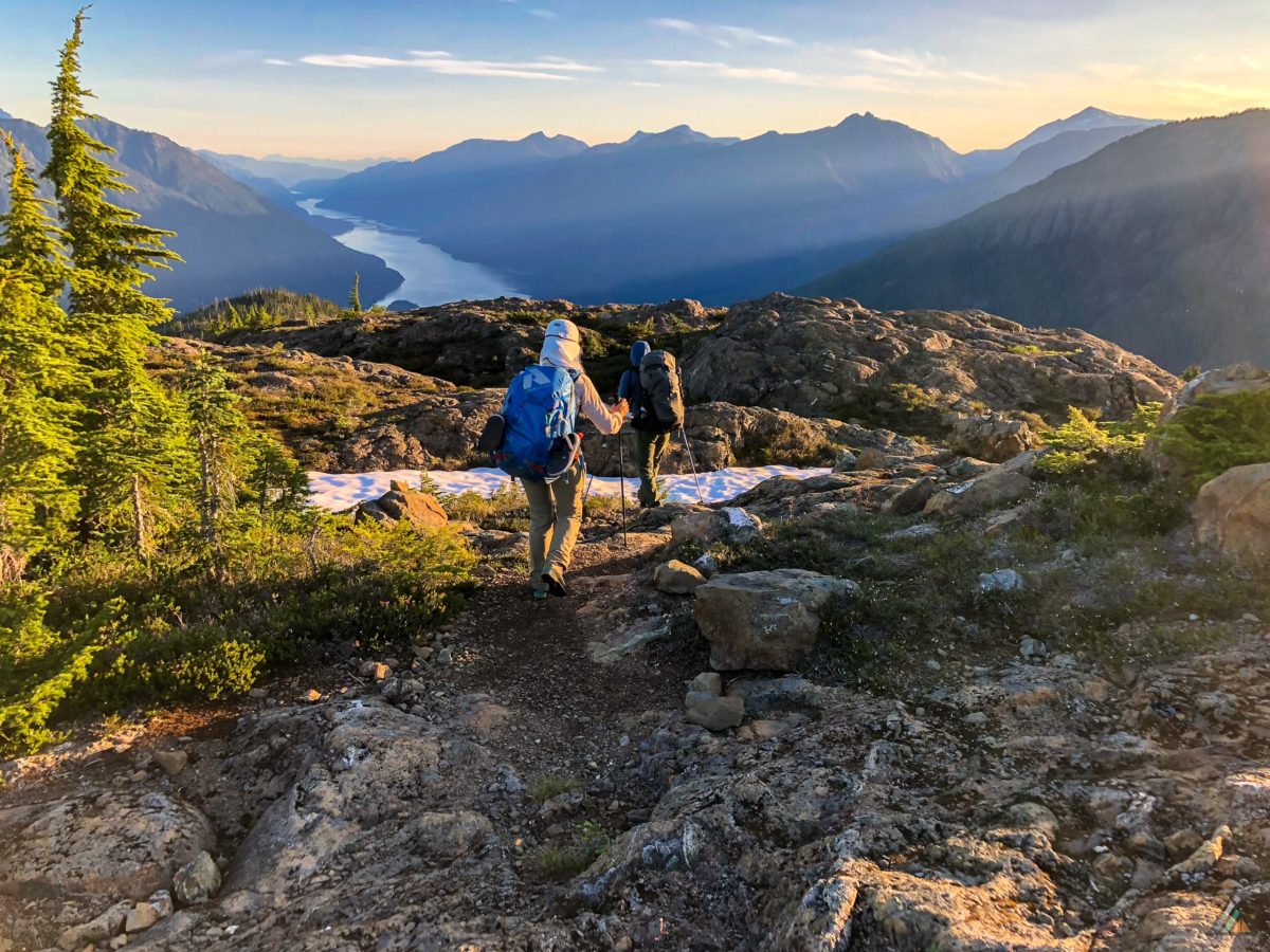
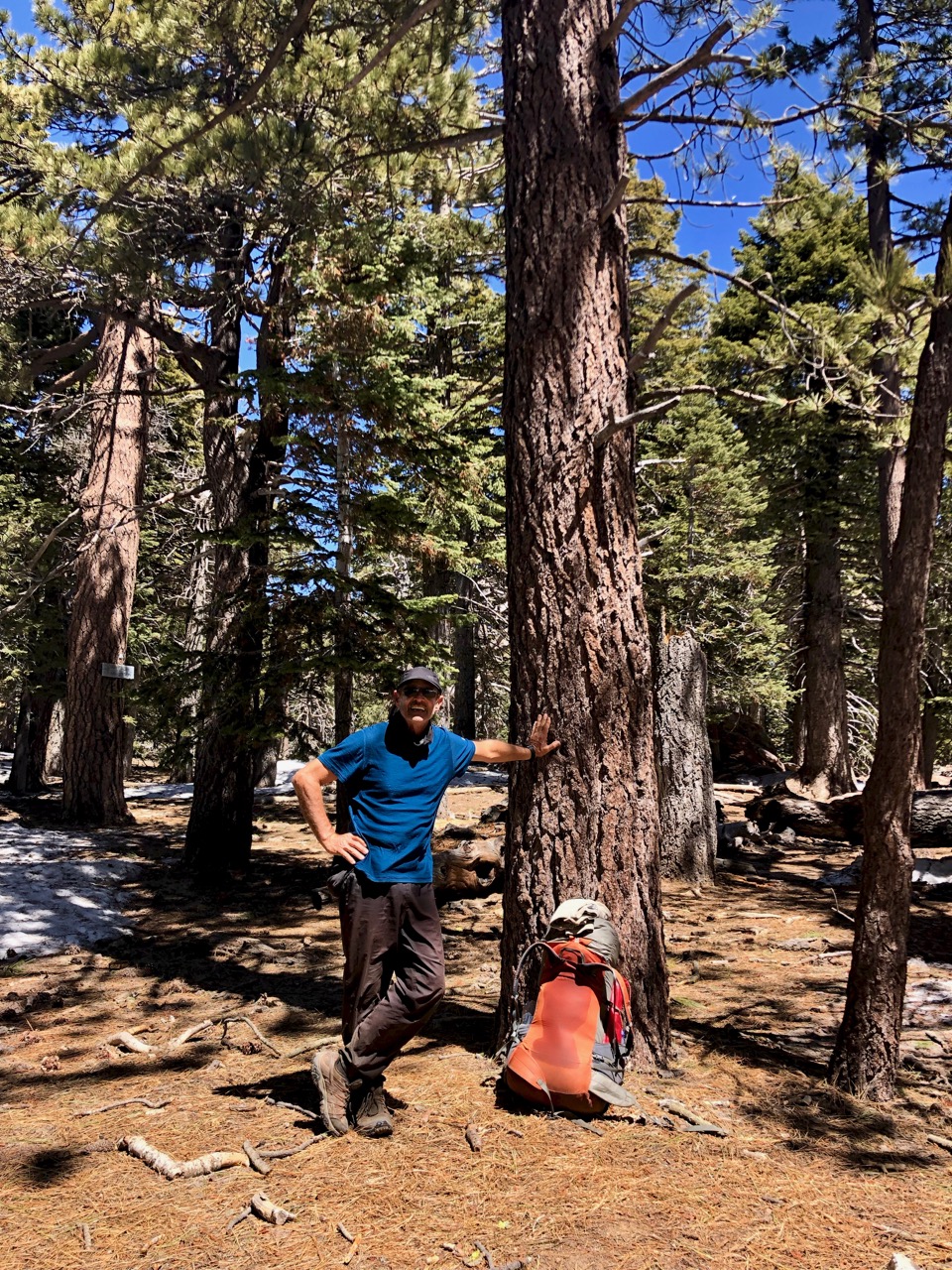
Learning my lesson, for Flower Ridge I brought food for up to 3 days. Full pack.
Started up about 5pm.
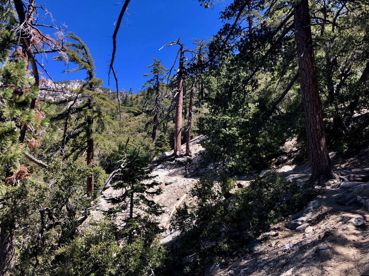
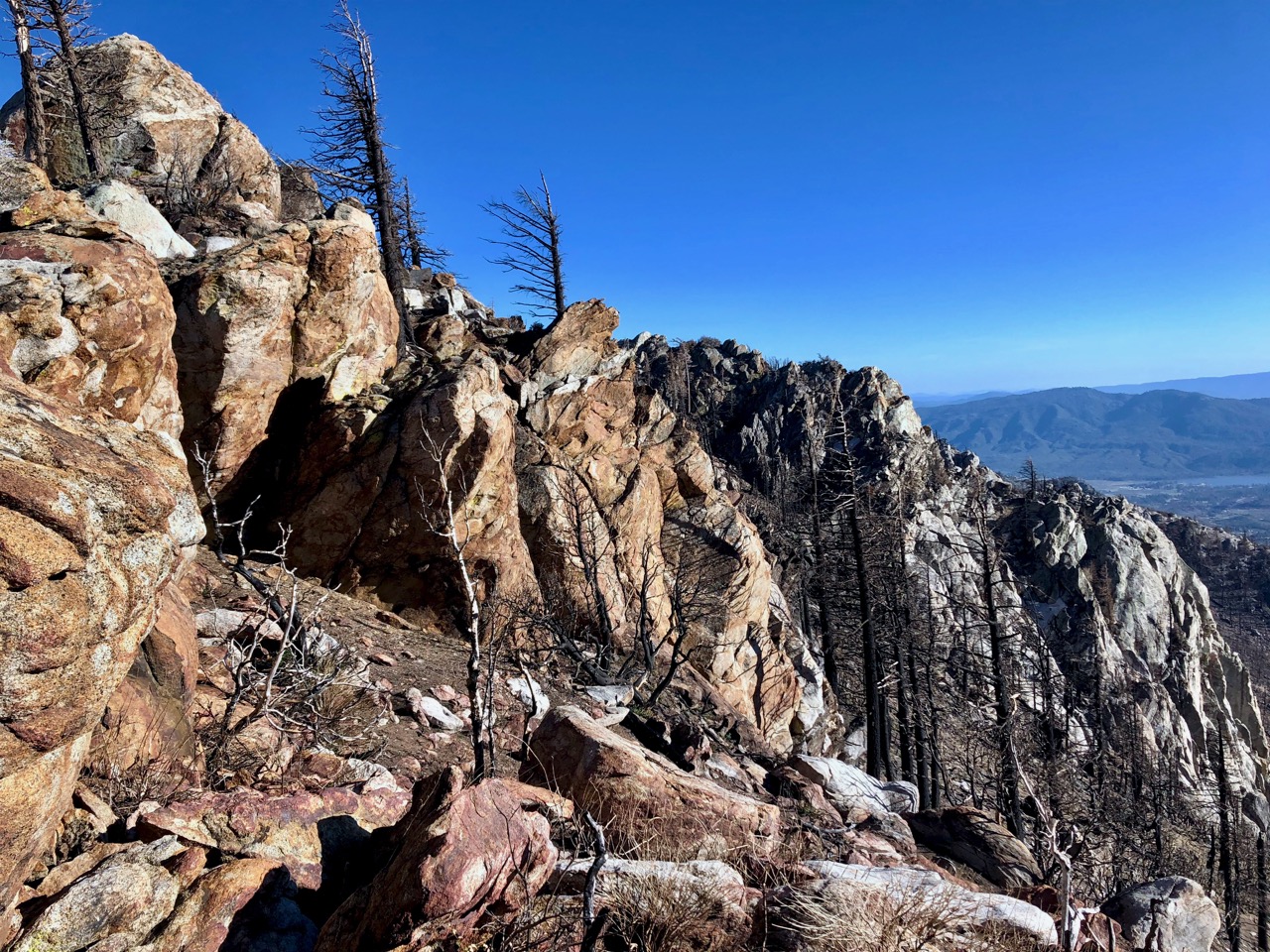
Like many Strathcona hikes, Flower Ridge starts with a steep climb. But less steep than most others
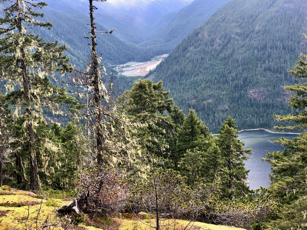
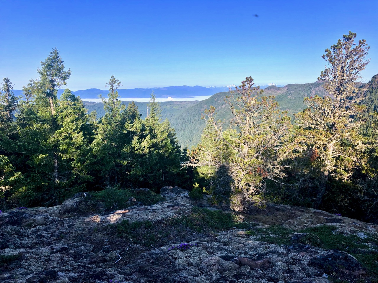
Not many views early on. When you do, it’s of the the Myra Falls Mine (opened 1959)
The mine is currently owned by Nyrstar and produces zinc, lead, copper, silver and gold concentrates.
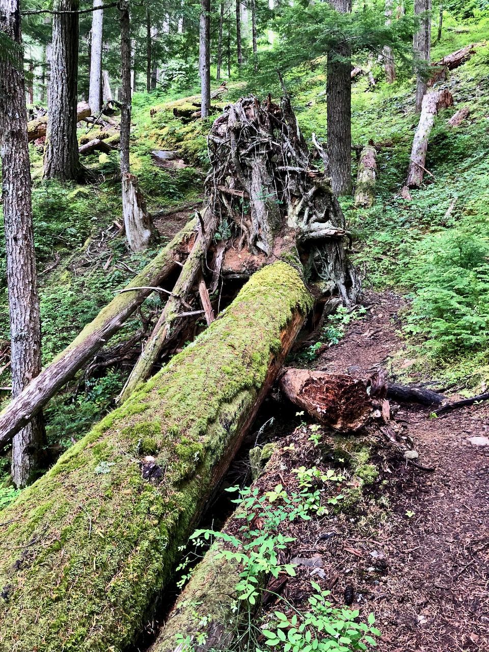
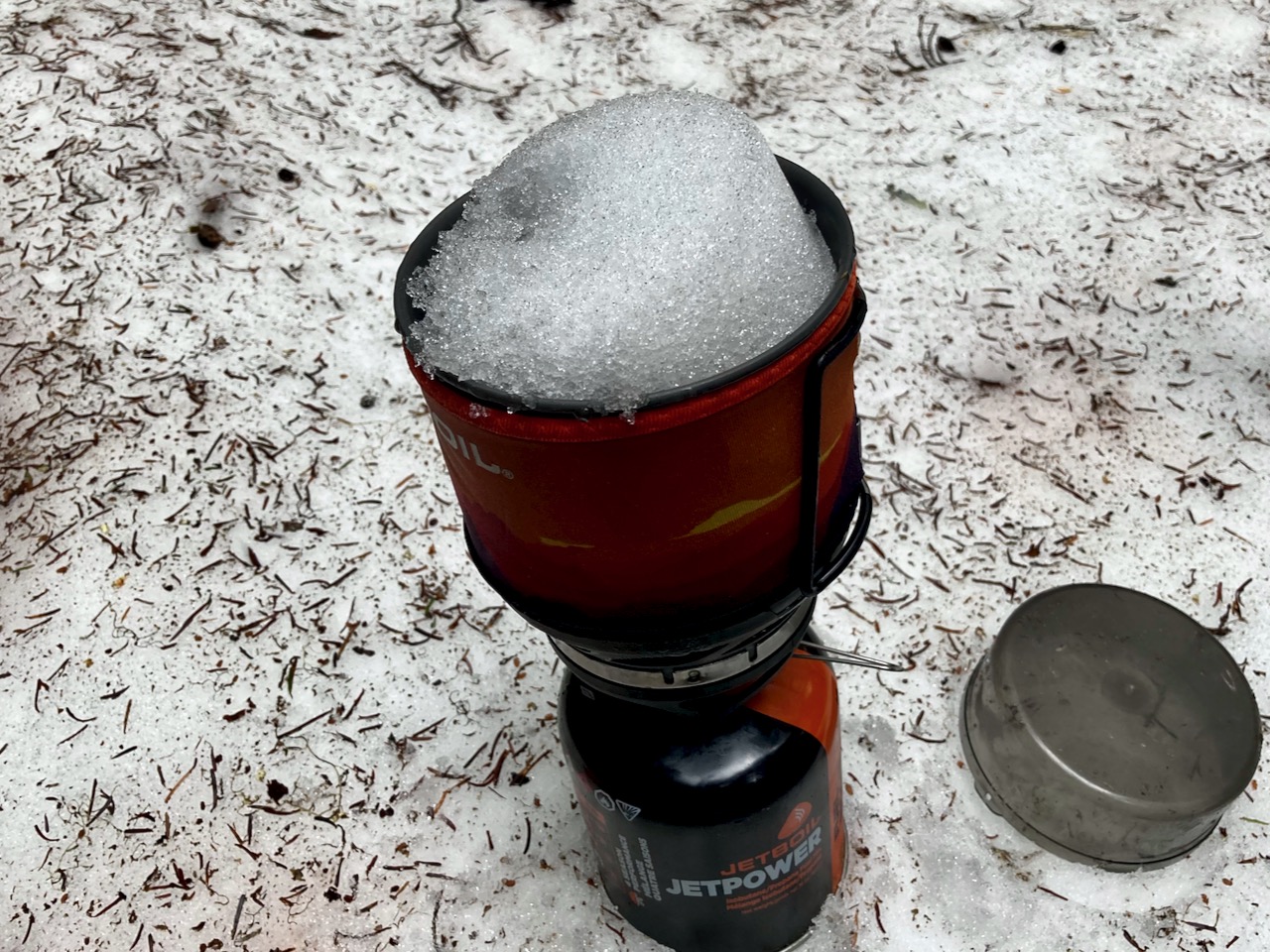
Any time you are hiking a ridge, finding running water might be a problem. But my guidebook said there was one reliable creek — I never found it.
No worries. There is plenty of snow to melt. You dig to find the clean white stuff.
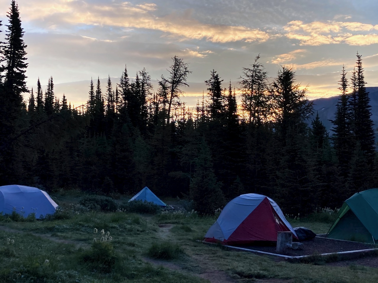
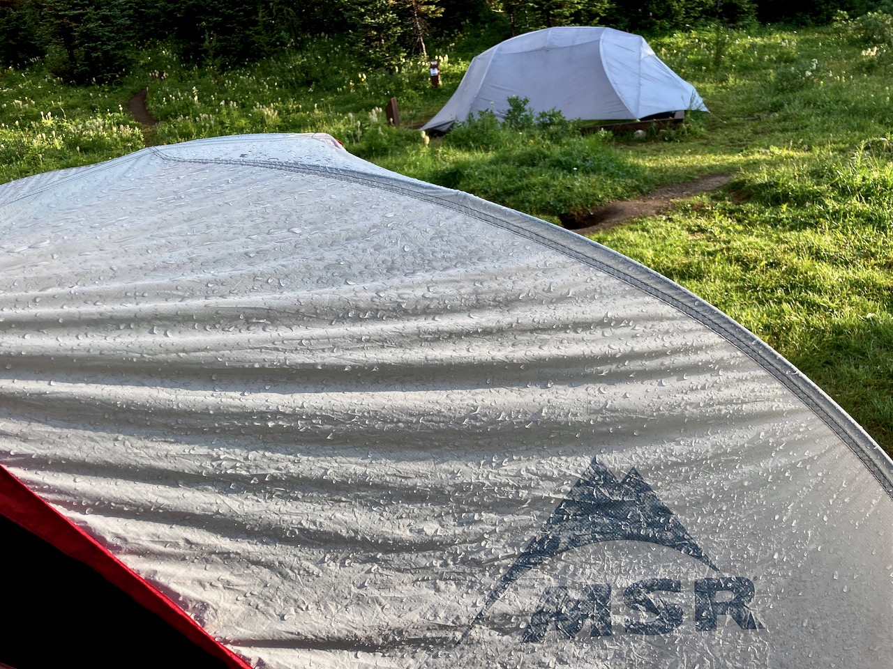
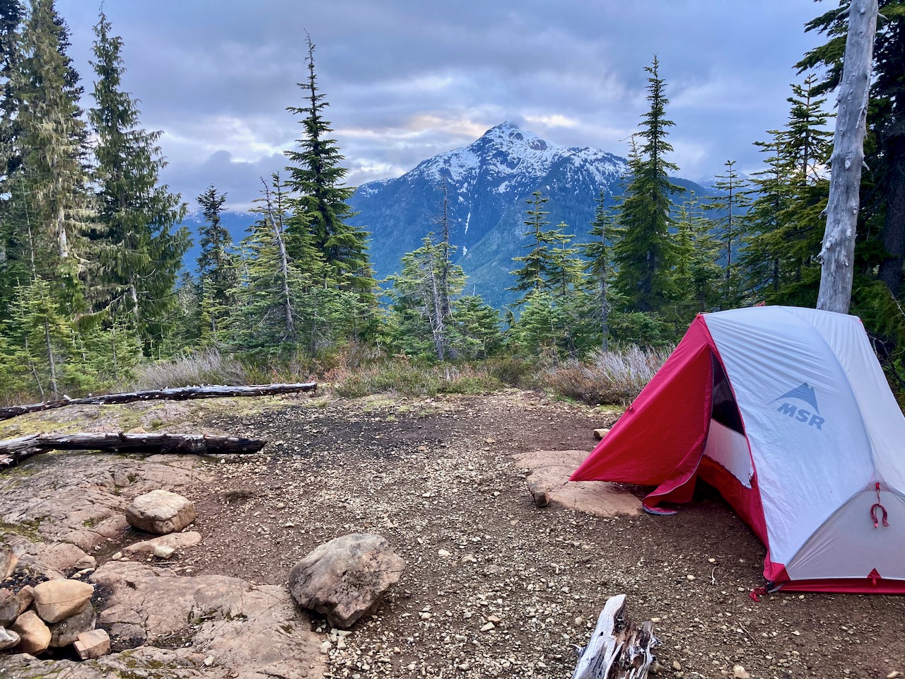
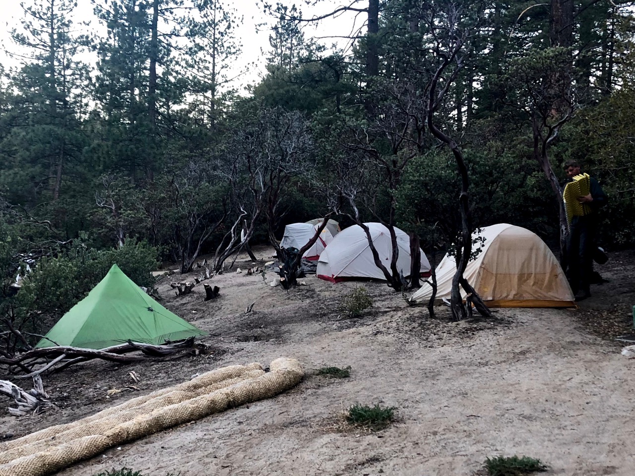
I set up 8:30pm at the first obvious campsite. Days are long in Canada in June.
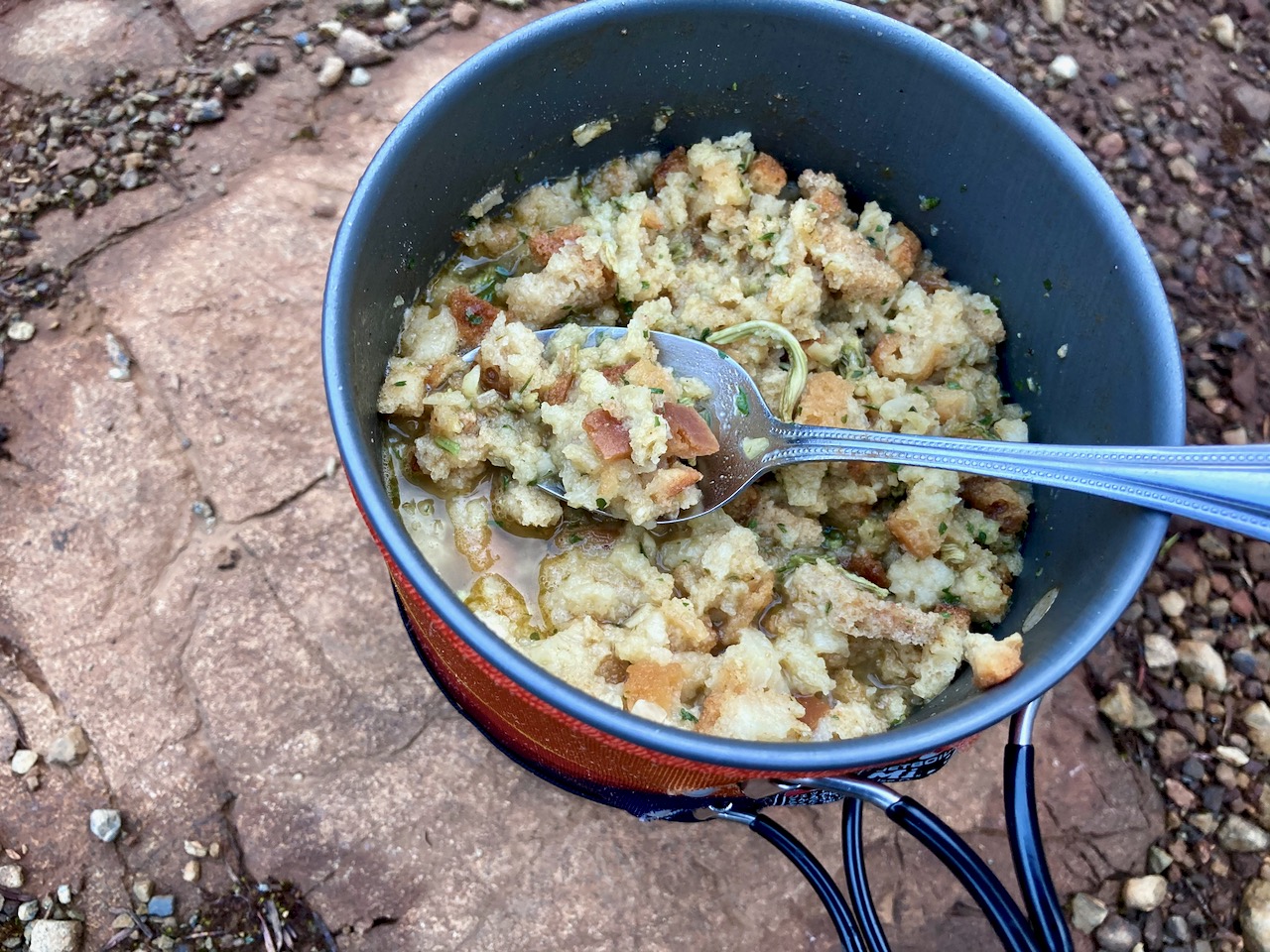
Normally my dinners are based around instant mashed potatoes. But for this trip I went all in for instant stuffing.
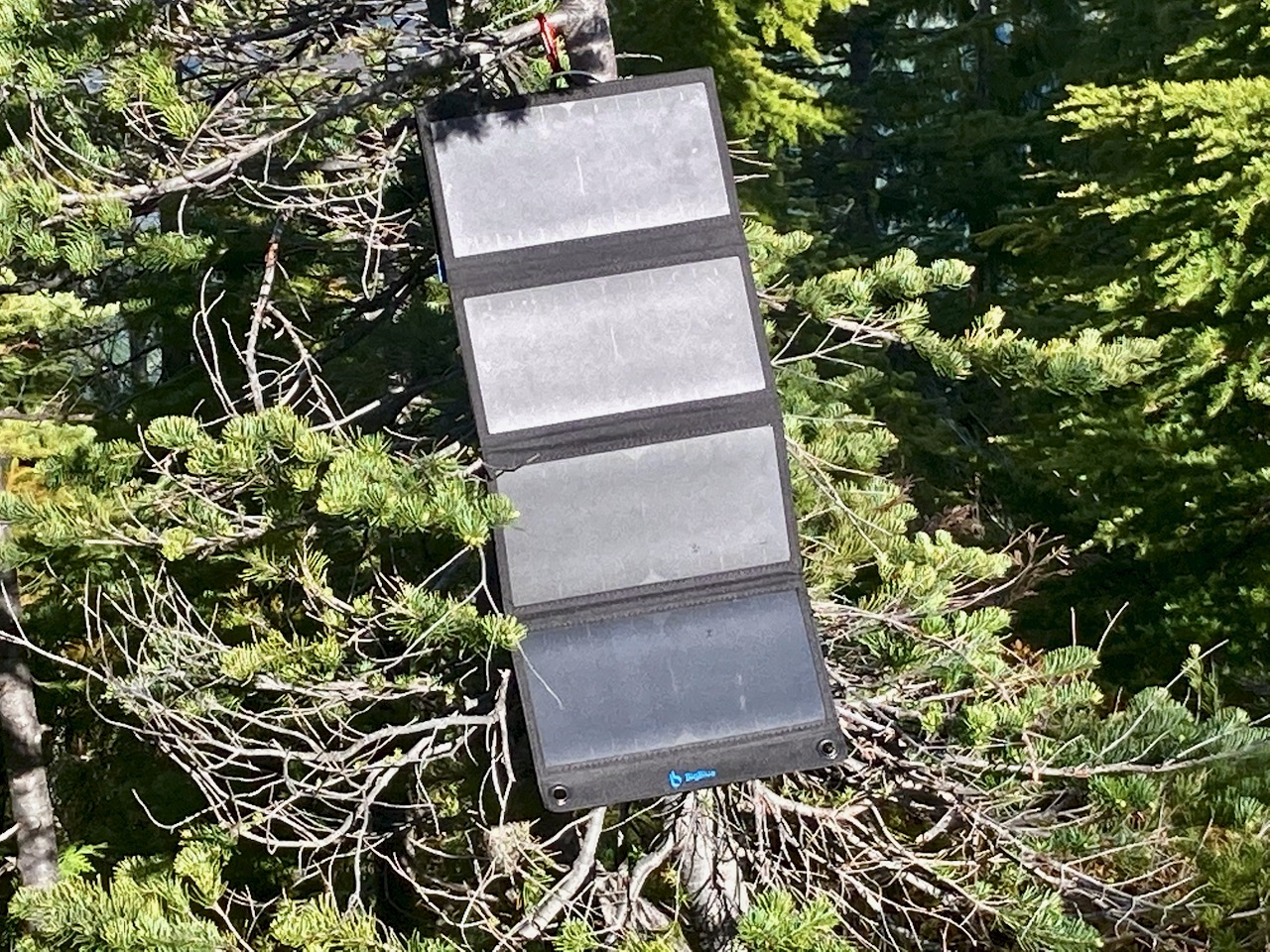
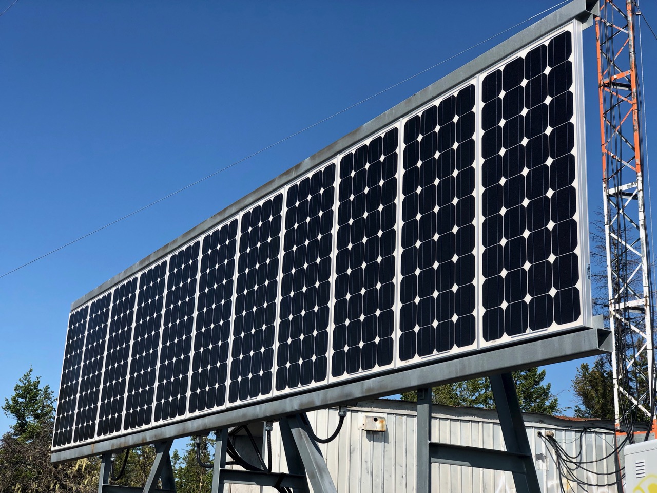
I carried my 1.2 pound solar charger for the first time. Normally it stays with my bikepacking gear.
There’s no electricity in Strathcona. No mobile phone service.
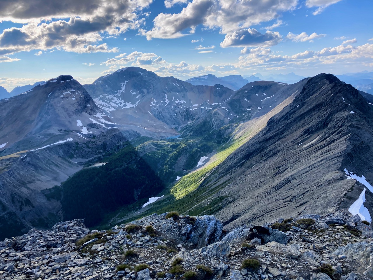
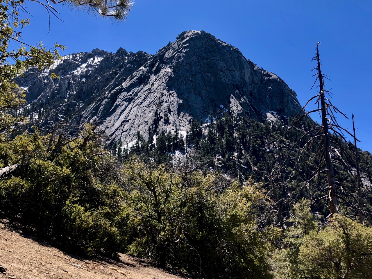
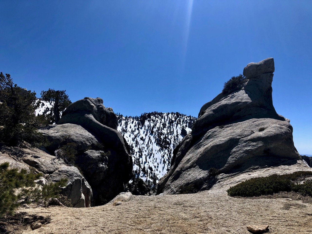
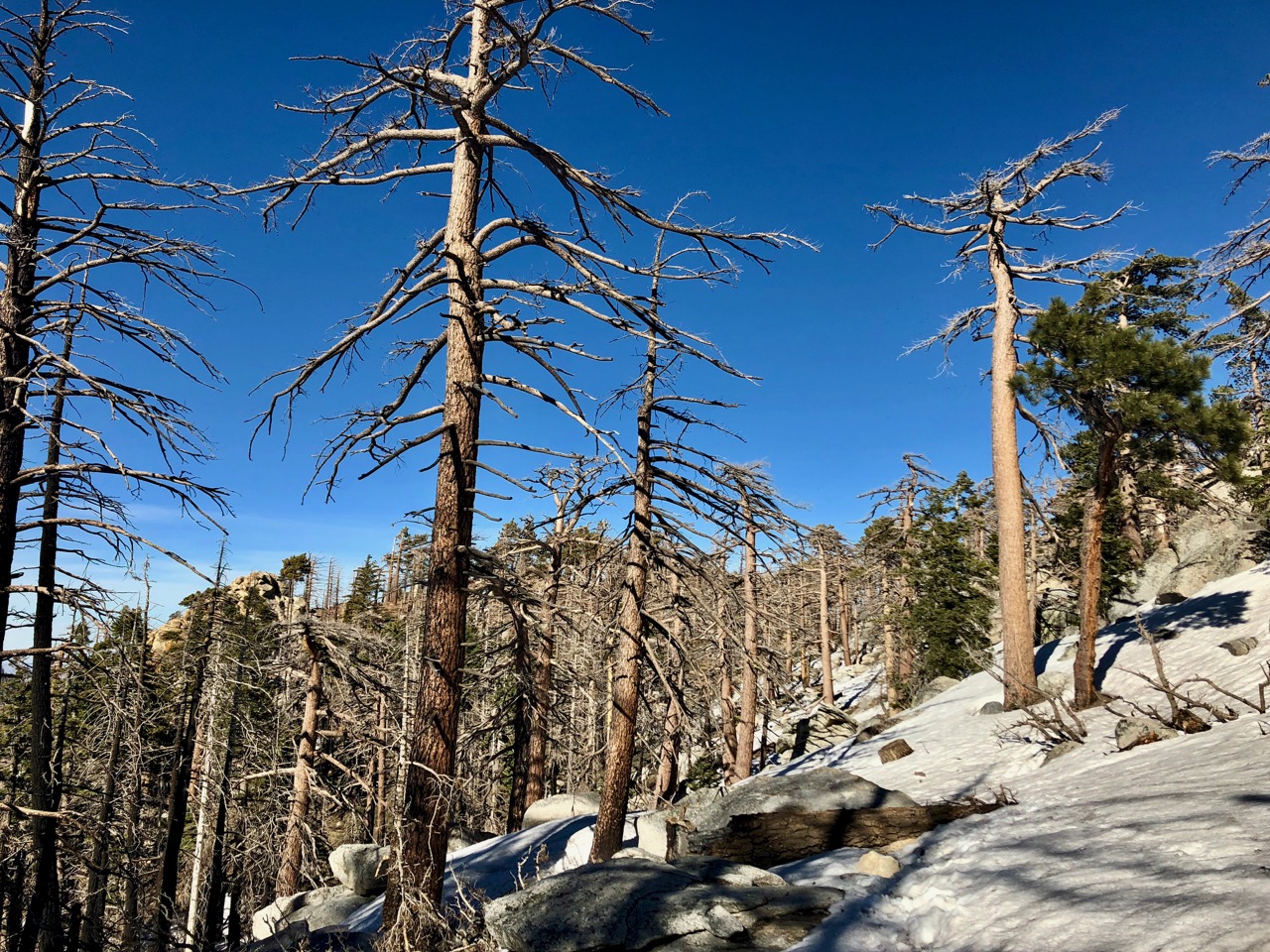
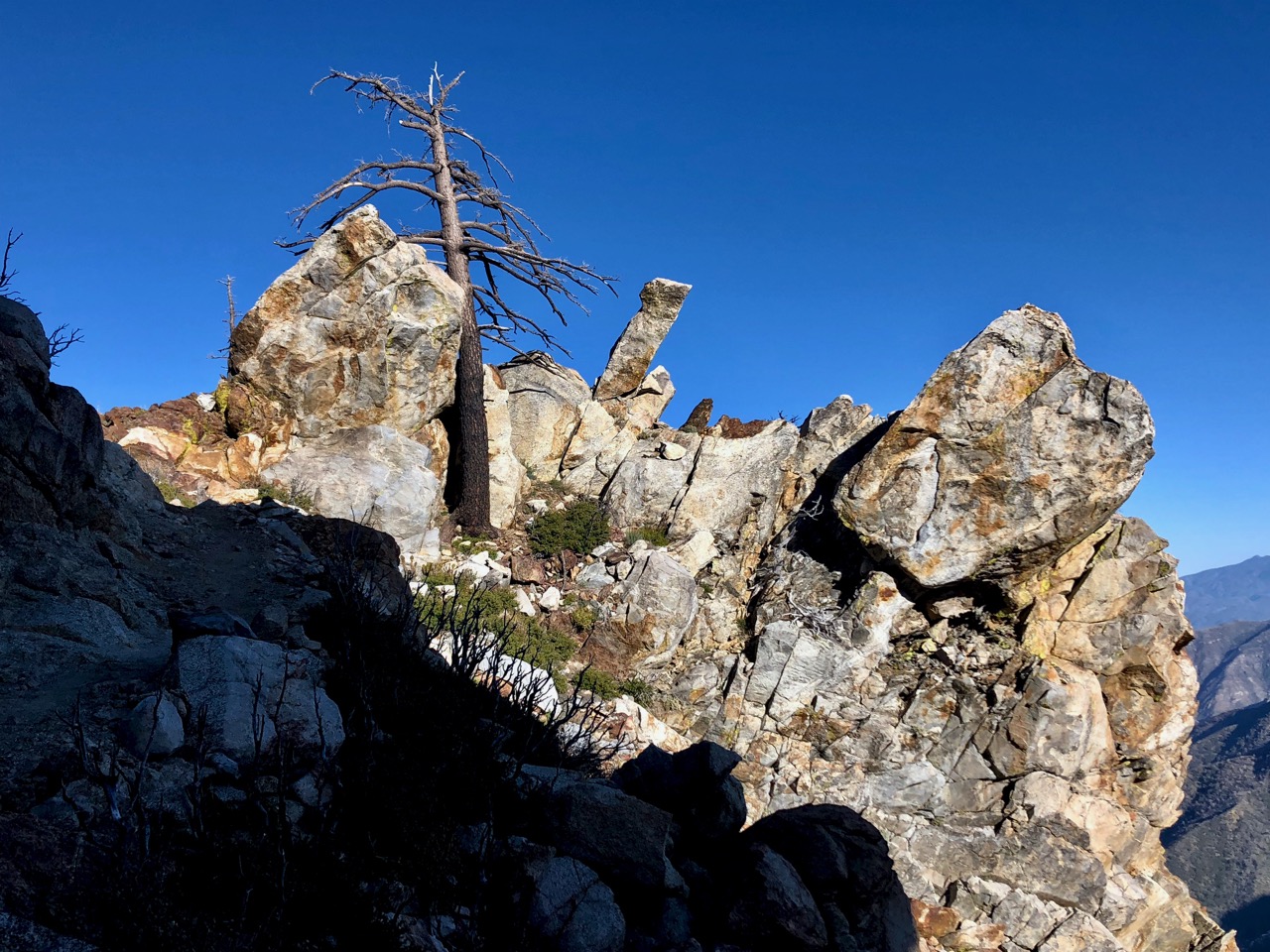
I climbed higher next morning. But quickly the snow got too deep. Just like King’s Peak the previous day, I only reached perhaps 800m elevation before turning back.
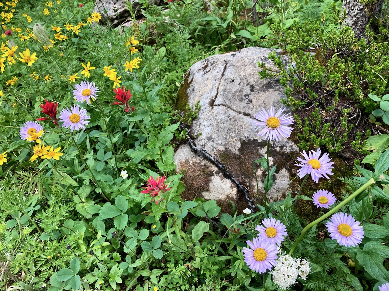
The ridge is about 1200m. In those meadows I would have found more famed spring flowers.
I really need to return to Strathcona late season: August – September.
#LessonLearned
If you want to do it right, click over to MBGuiding:
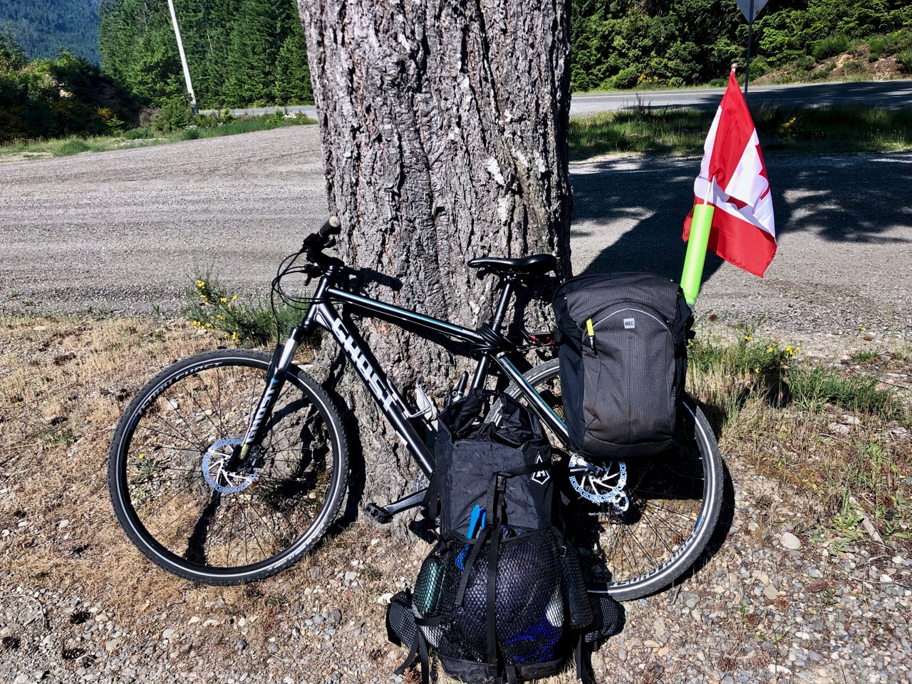
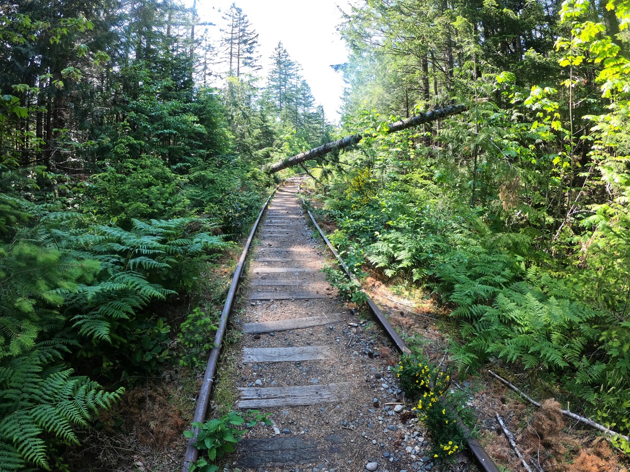
I hid and locked my bike close to the trailhead. Transferred what I needed to my hiking pack — and headed up the railway tracks.
I missed the turn-off up mountain. It’s not obvious. On my return I flagged the start to make it more conspicuous.
Steep.
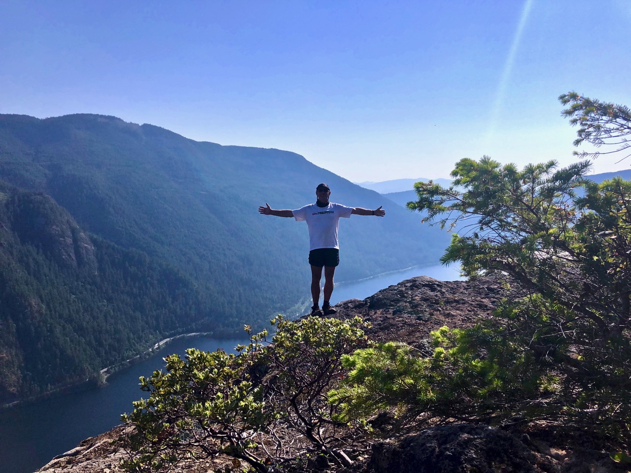
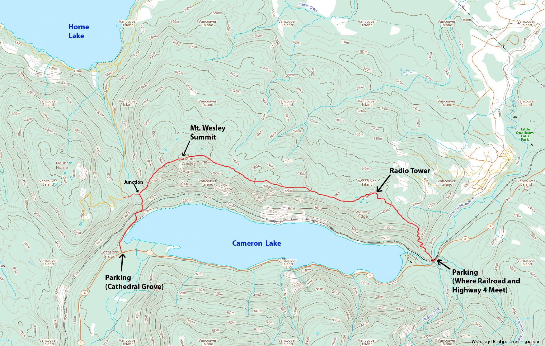
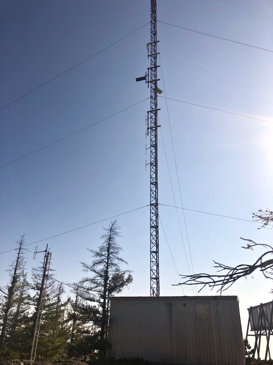
The strenuous 2km climb up to the telecommunications tower is called Wesley Tower Trail.
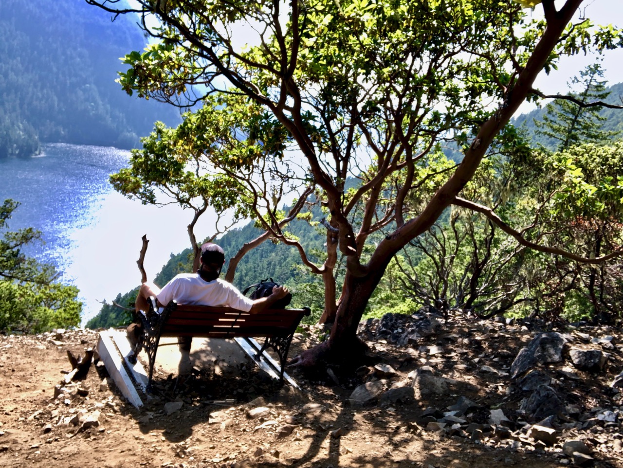
Many continue on to the first lake vista. It took me about 2 hours to get here. There are two benches, one named Forever Tuesday after the Tuesday Walkers Club in nearby Port Alberni.
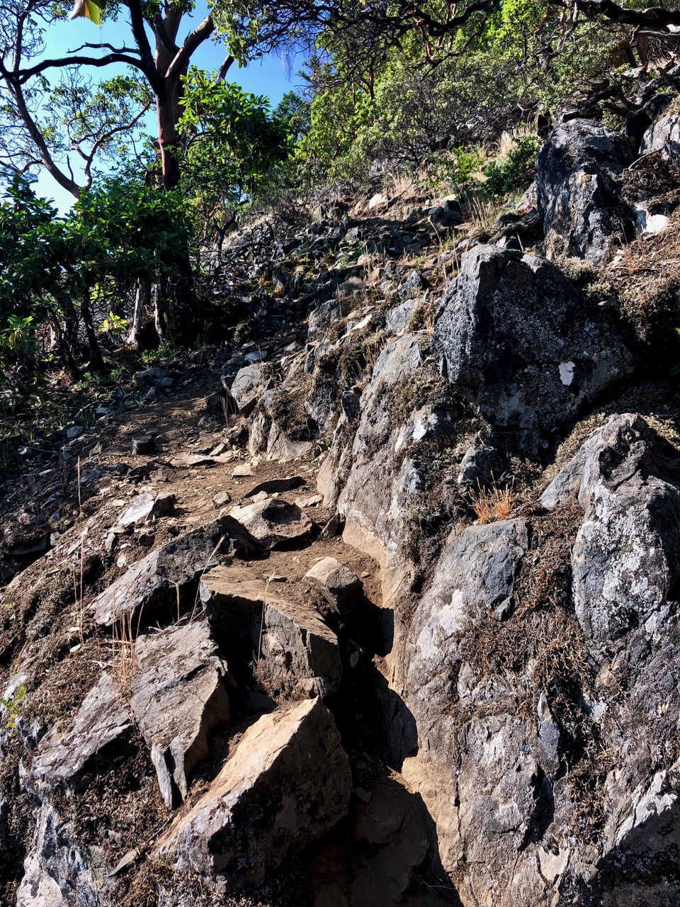
Most turn back at this point. There’s no one path across the ridge from here.
I gave it a good try. You follow different (competing) sets of orange tape flags. Some lead to dead ends.
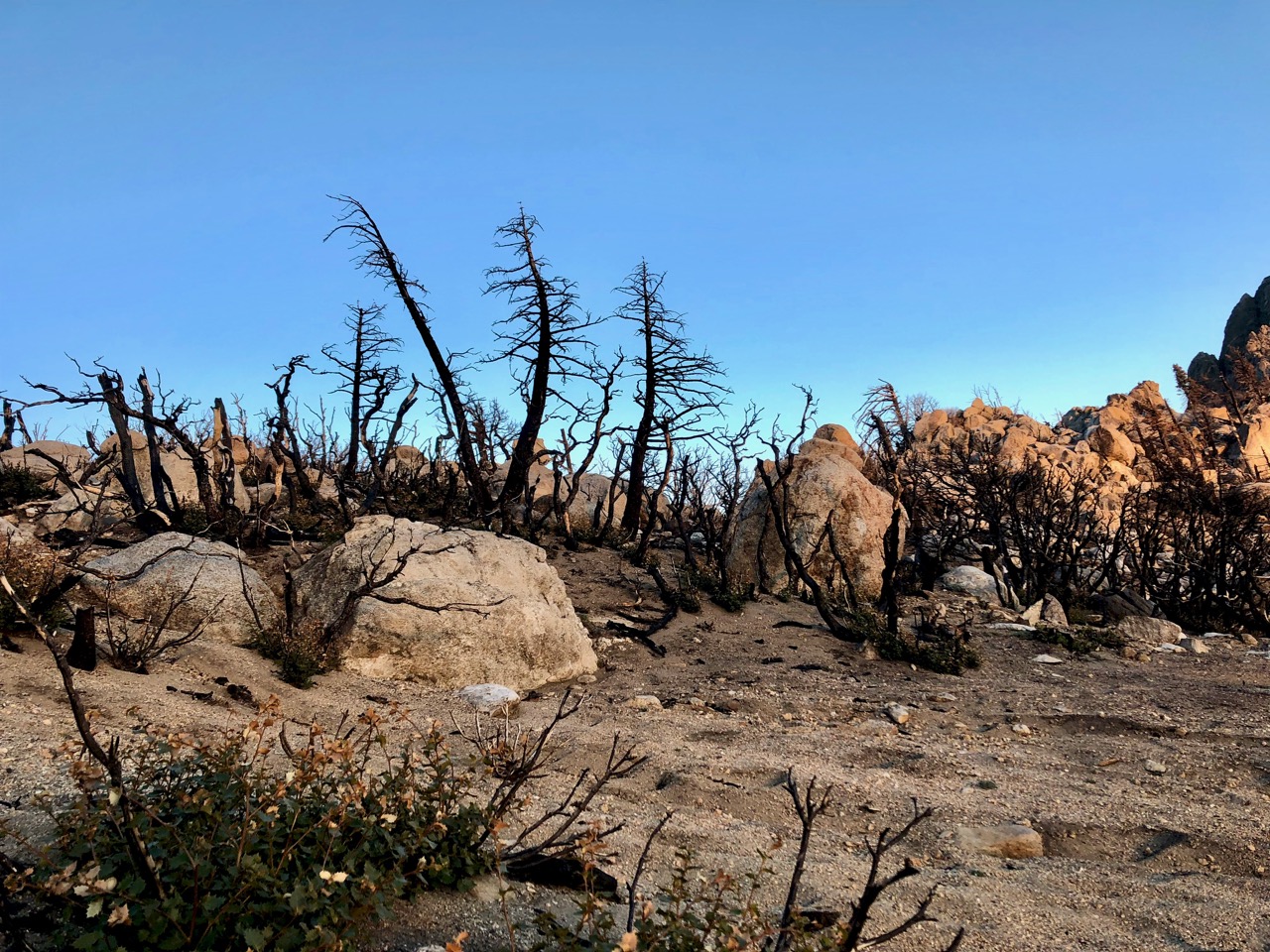
A bigger problem was scrambling hundreds of fallen trees. Not bringing long pants, I got quite scratched up. It was bushwhacking.
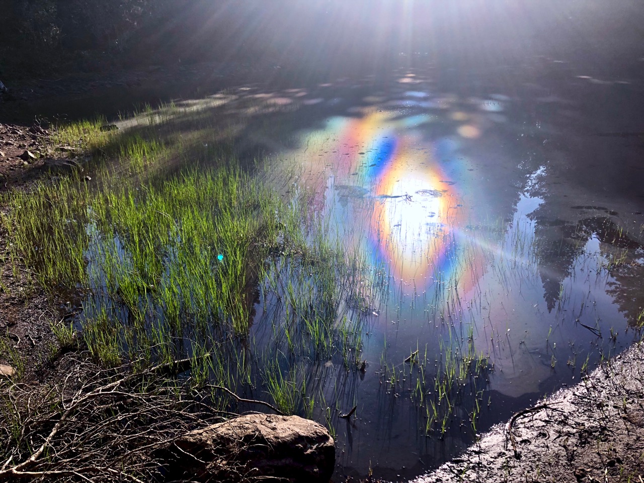
Another problem is water. I saw no flowing water — only remnant snow melt tarns.
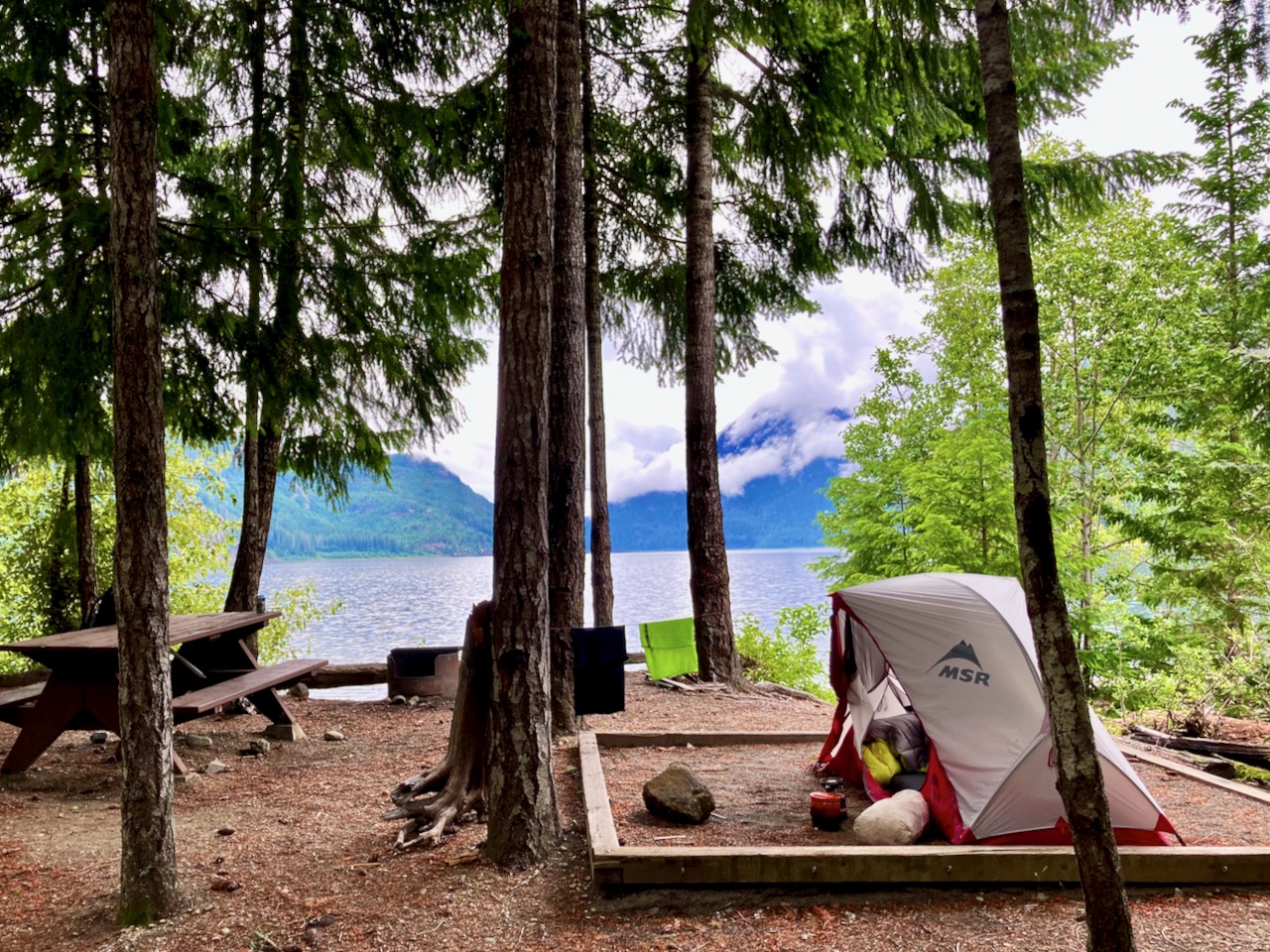
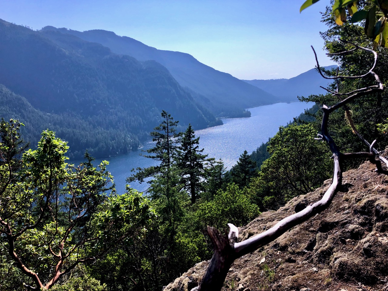
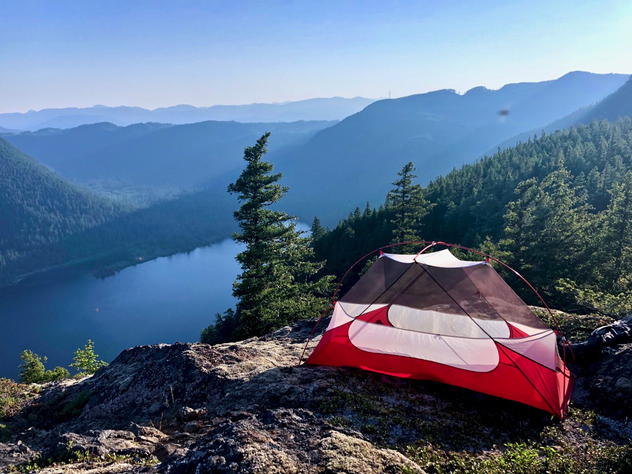
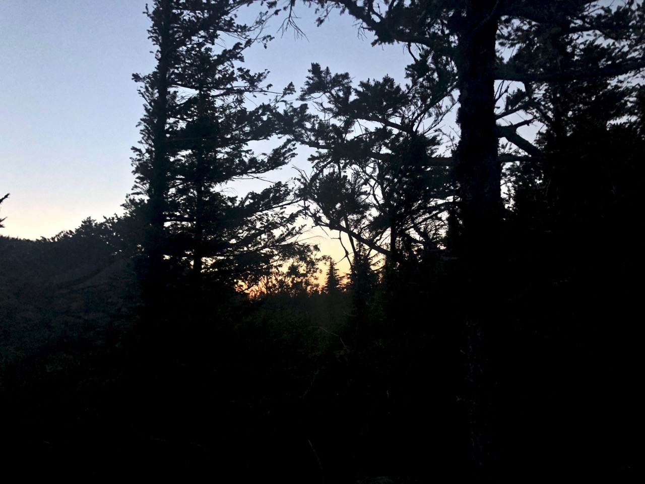
With daylight failing, I finally decided to find myself a great tent site.
It doesn’t get much better than this. I had to HIDE in the tent at dusk, however, pestered by small non-biting flies.
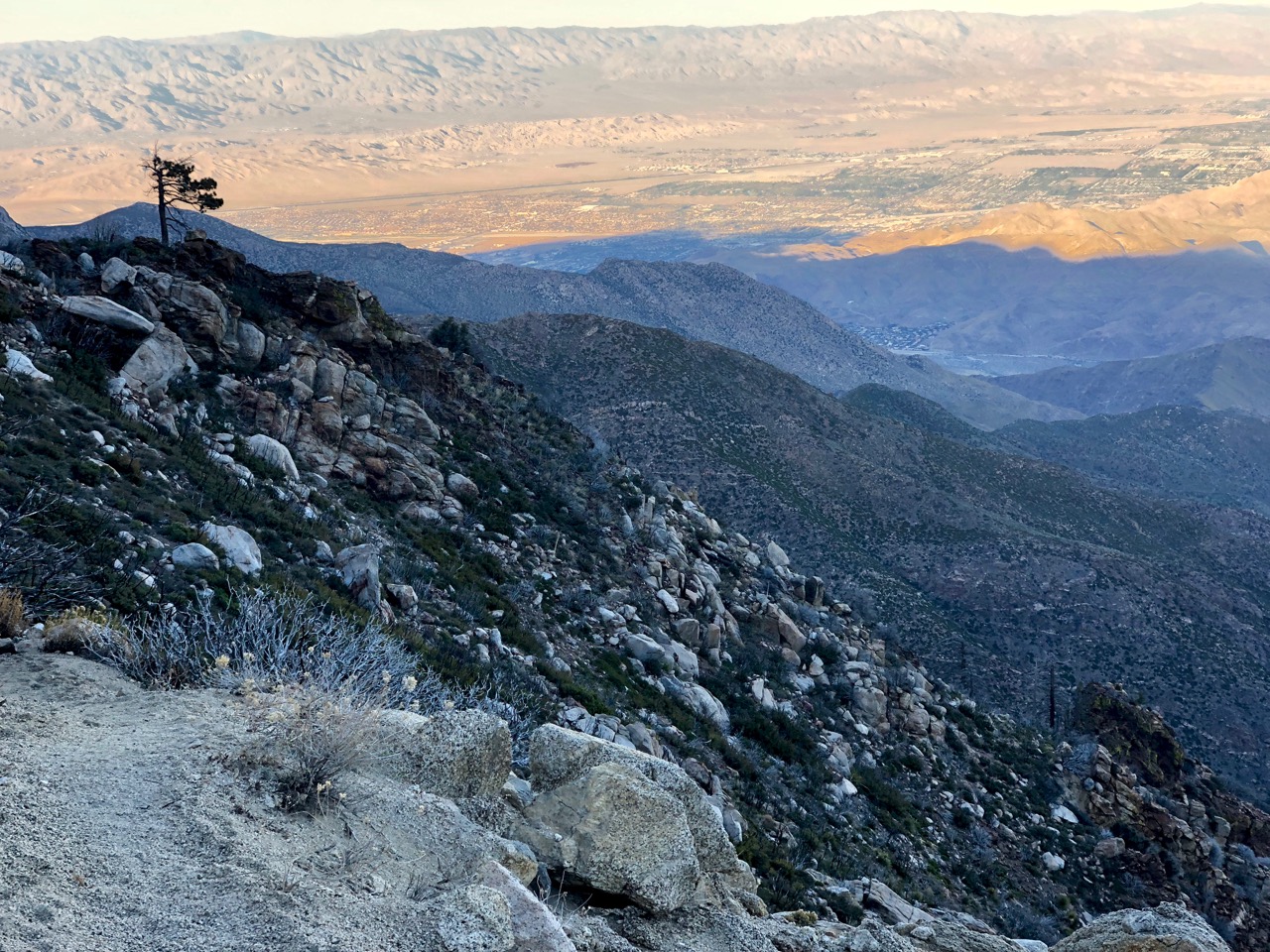
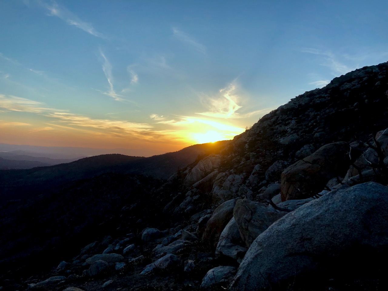
From here I could see steam rising from Port Alberni.
Here’s where I stopped.
Good night.
Next morning, nearly out of water, I decided to hustle back the way I’d come. I’ll try the Ridge from the other end on some future trip.
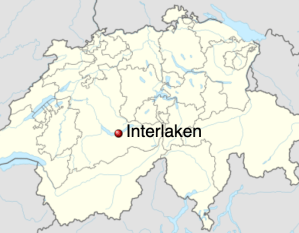
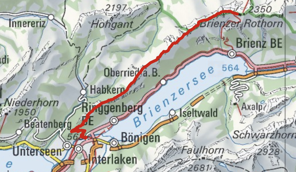
Brienz to Interlaken with rail assistance getting up to and descending from the ridge
Don’t hike the other direction. Logistics are easier starting in Brienz. And it’s safer as the last 2 hours (when your legs are tired) is on easier trails.
I got up early in Interlaken, ready for my free hostel breakfast starting 7am.
Every half hour a train runs from Interlaken to Brienz for 8.20 francs (2018).
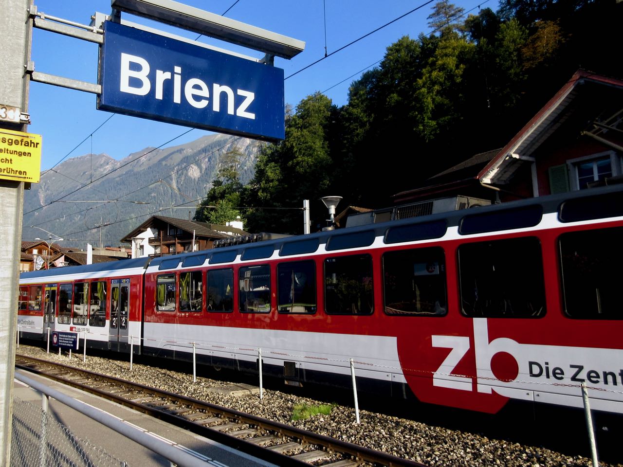
Happily I made the first steam train — 8:36am — from Brienz to Brienzer Rothorn Station. It’s been making this run since 1891.
Price is reduced to 28 francs for the first train (2018) to encourage folks to get as early a start as possible on their hike.
At 9km / hour it takes an hour to get to the top of the ridge 2351m.
If clear, you can enjoy distant views over to Jungfrau highest peaks; the Eiger, Mönch, Jungfrau, Schreckhorn, Finsteraarhorn.
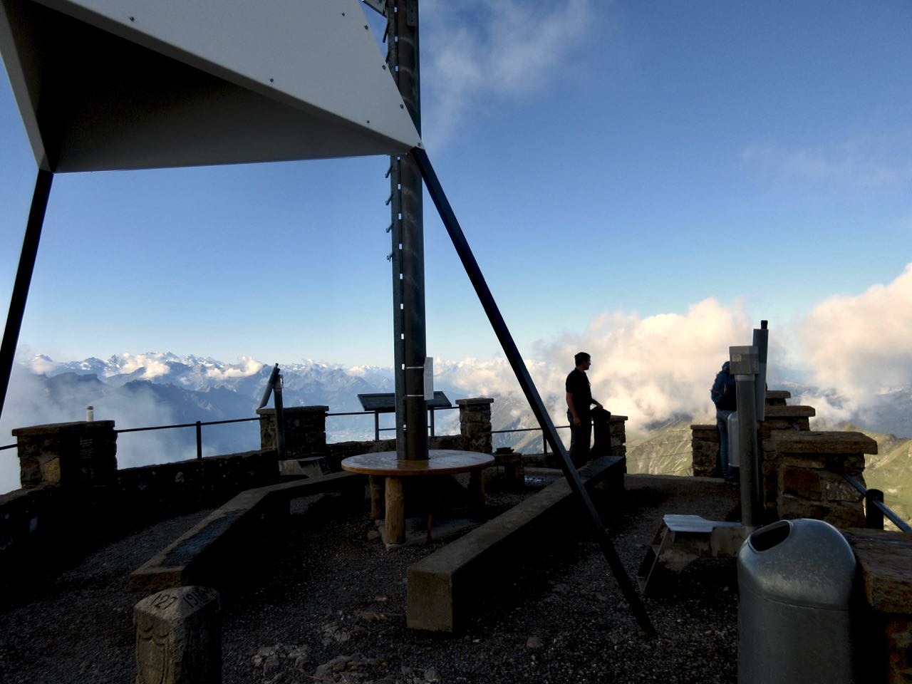
I climbed up to the viewpoint. This is as far as most tourists hike.
Looking down on Brienzer Rothorn Station.
At 10am I started to walk back to Interlaken. I would have about 11.5 hours to make the last teleferico down from Harder Kulm Restaurant. Otherwise I’d have to walk down in the dark.
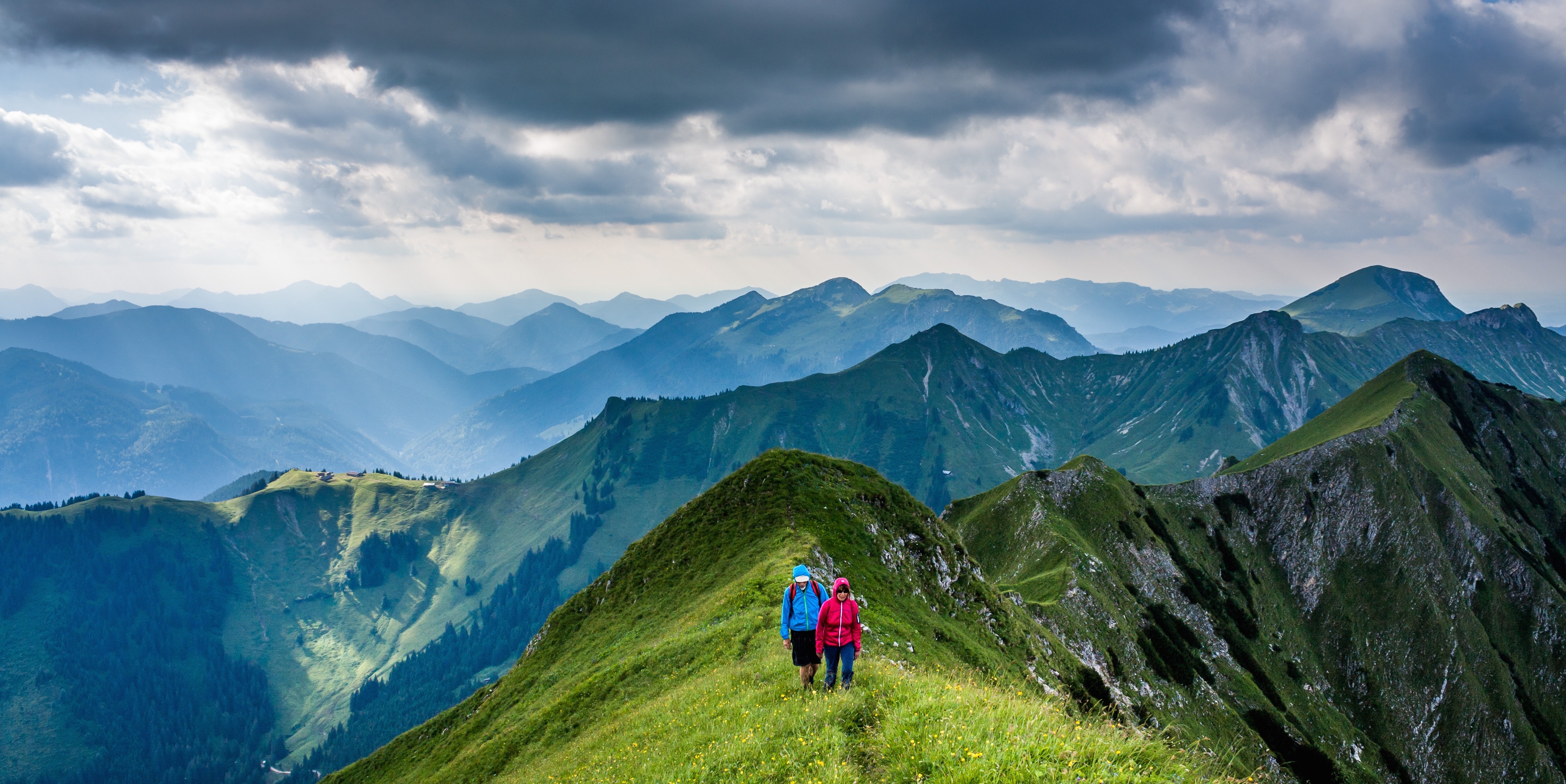
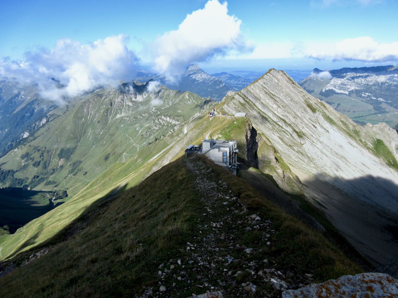
You can’t really get lost. Follow the ridge no matter what.
The weather was perfect.
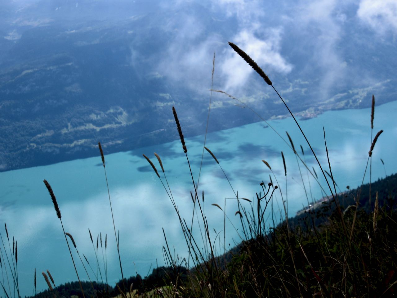
You have Brienz lake on one side …
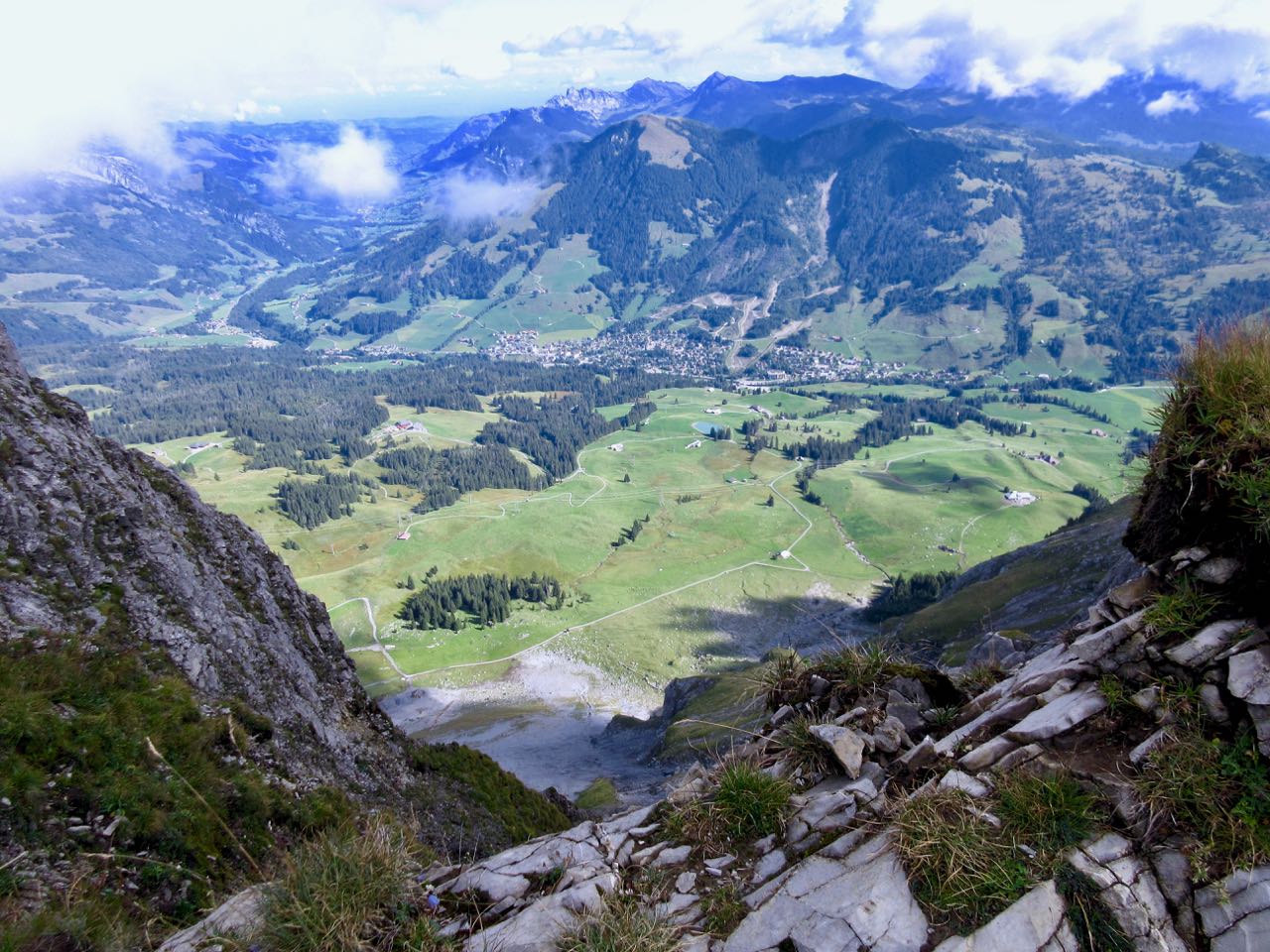
… and Swiss foothills on the other.
I loved it instantly.
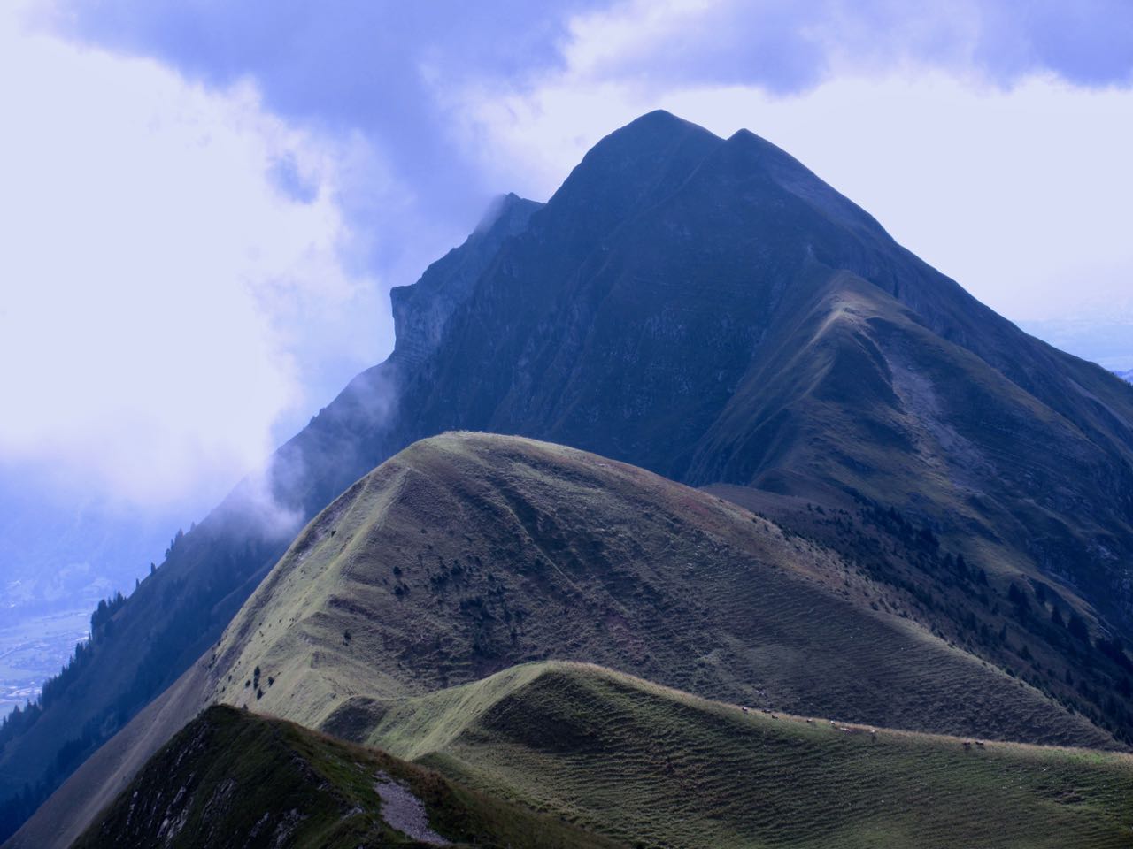
Most of the time the ridge is not all that intimidating.
It often looks worse than it turns out to be.
I’d heard everyone who comes up here sees ibex. … Are these ibex?
This adventure is more popular with trail runners than with hikers as they can easily make it in less than 10 hours.
I took very few breaks. Other than checking the GPS on my phone, I had no idea whether I was moving quickly enough to finish in time.
Each time I’d climb a high point on the ridge, even higher points would come into view.
I don’t think I saw another person over the first 5 hours.
Sadly I seemed to be a lot closer to Brienz than Interlaken.
There are sections with stairs, cable and chain assistance. These would be most useful when down climbing in wet conditions.
Hmm … I might finally be past half way.
I tried to quicken my pace on the easiest sections.
There are many more day hikers on the Interlaken end of the ridge. They assured me I’d make it on time.
Interlaken
The last 2 hours stays on the ridge, but you are mostly in the trees. It was the least interesting section … but I was pleased to have less exposure as my legs got tired.
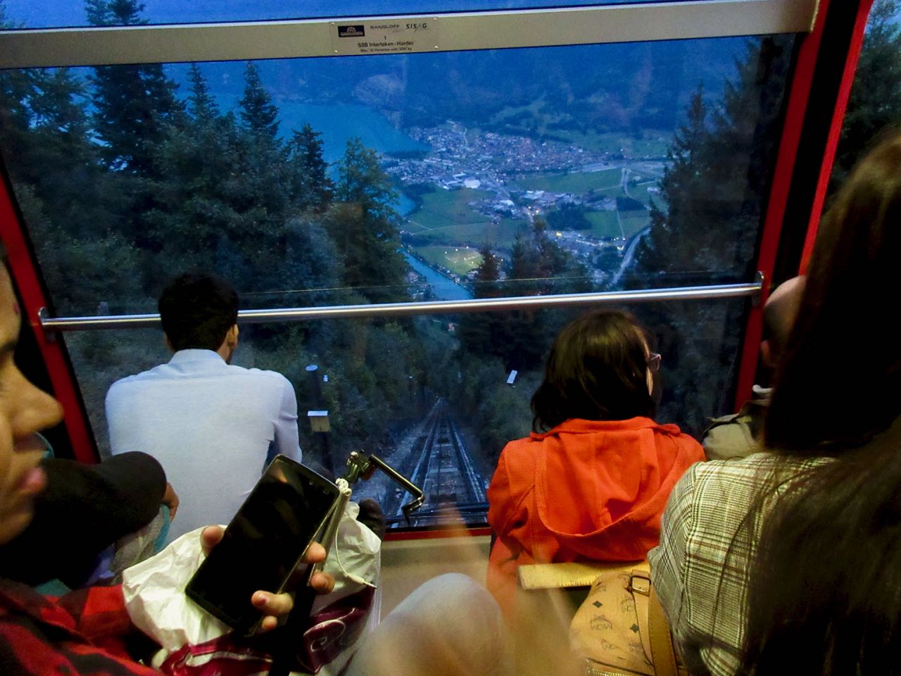
Here it is at last. Harder Kulm Restaurant.
The last funicular descends at 9:10pm. If it’s busy they may run until 9:40pm.
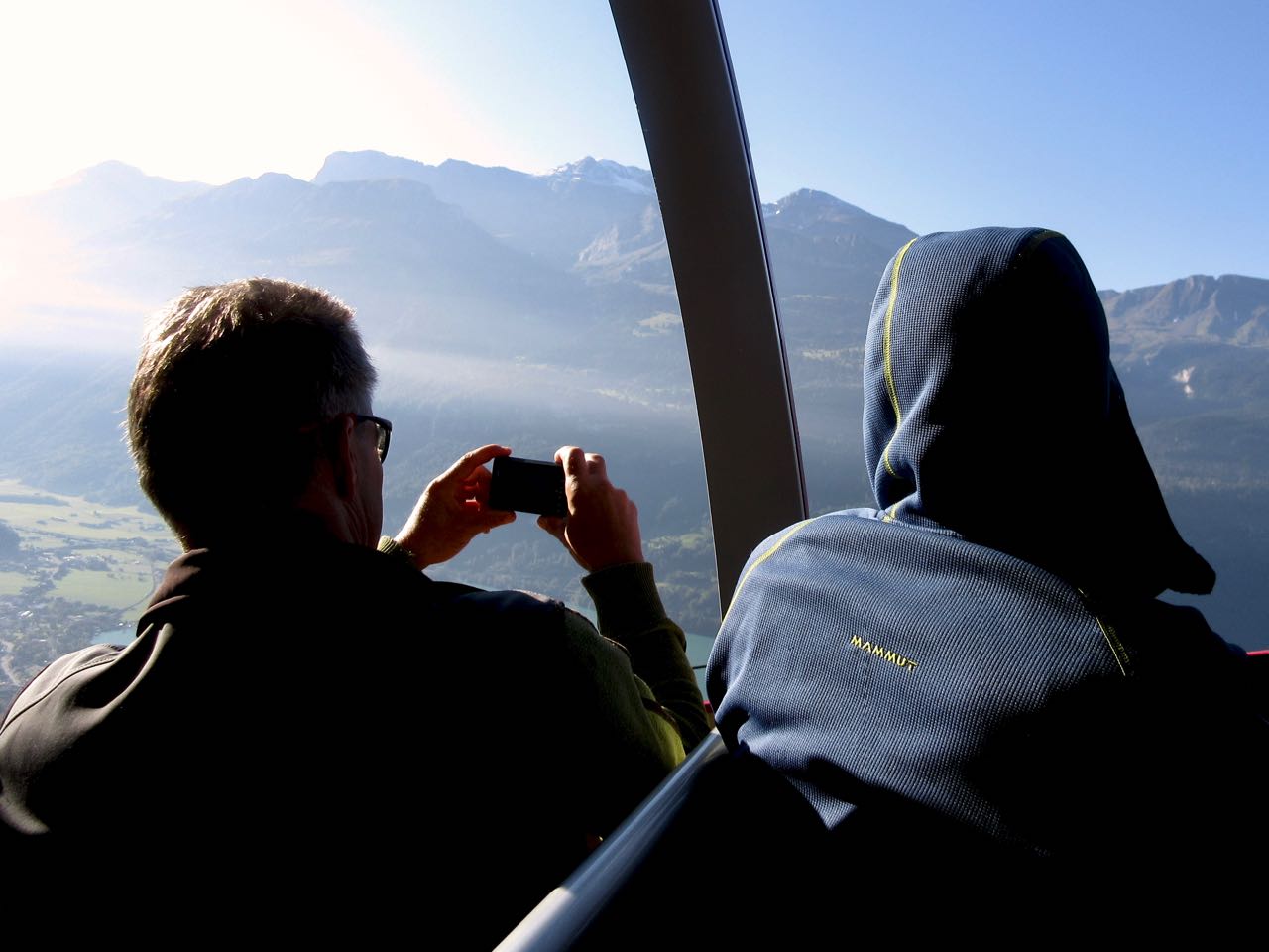
I gladly paid 16 francs and found the short trip down very interesting.
It was dark by the time we arrived Interlaken.
And I was quite dehydrated. I’d brought only 1.5 litres with me. I could have used about 3 litres.
When I got back to the hostel I announced it was the best day hike of my life.