
Trip report by BestHike editor Rick McCharles.
- dangerous
- 10 hours
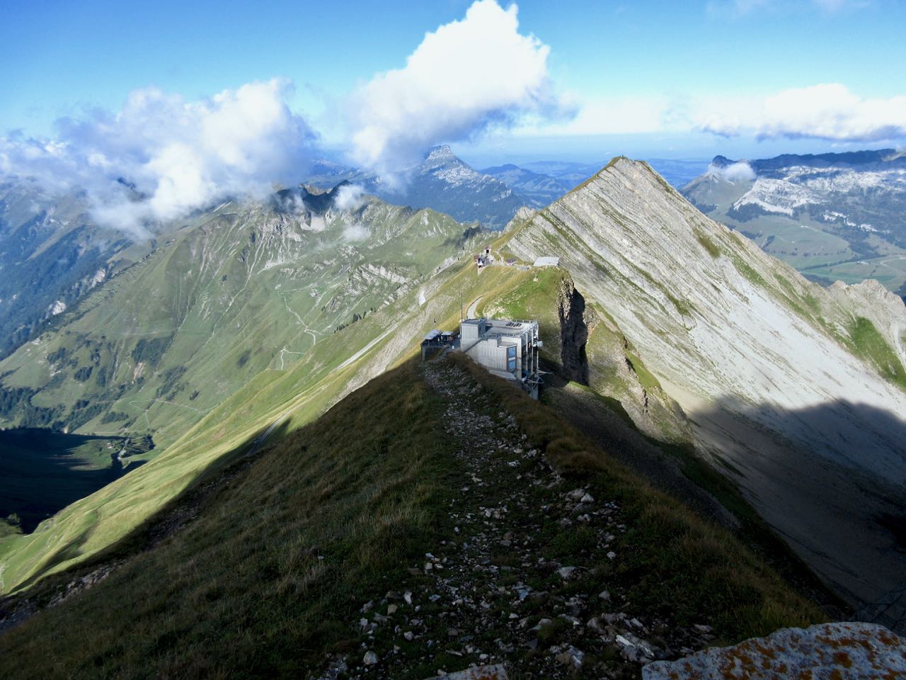
- at least 18km on sharply defined ridge
- should absolutely never be attempted when wet
- plenty of exposure on both sides
- frequent scrambling required
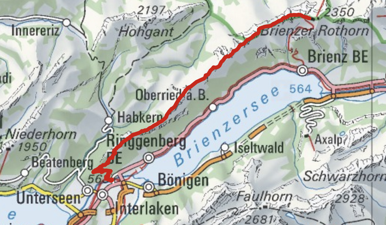
- Brienz to Interlaken with rail assistance getting up to and descending from the ridge
Don’t hike the other direction. Logistics are easier starting in Brienz. And it’s safer as the last 2 hours (when your legs are tired) is on easier trails.
 I got up early in Interlaken, ready for my free hostel breakfast starting 7am.
Every half hour a train runs from Interlaken to Brienz for 8.20 francs (2018).
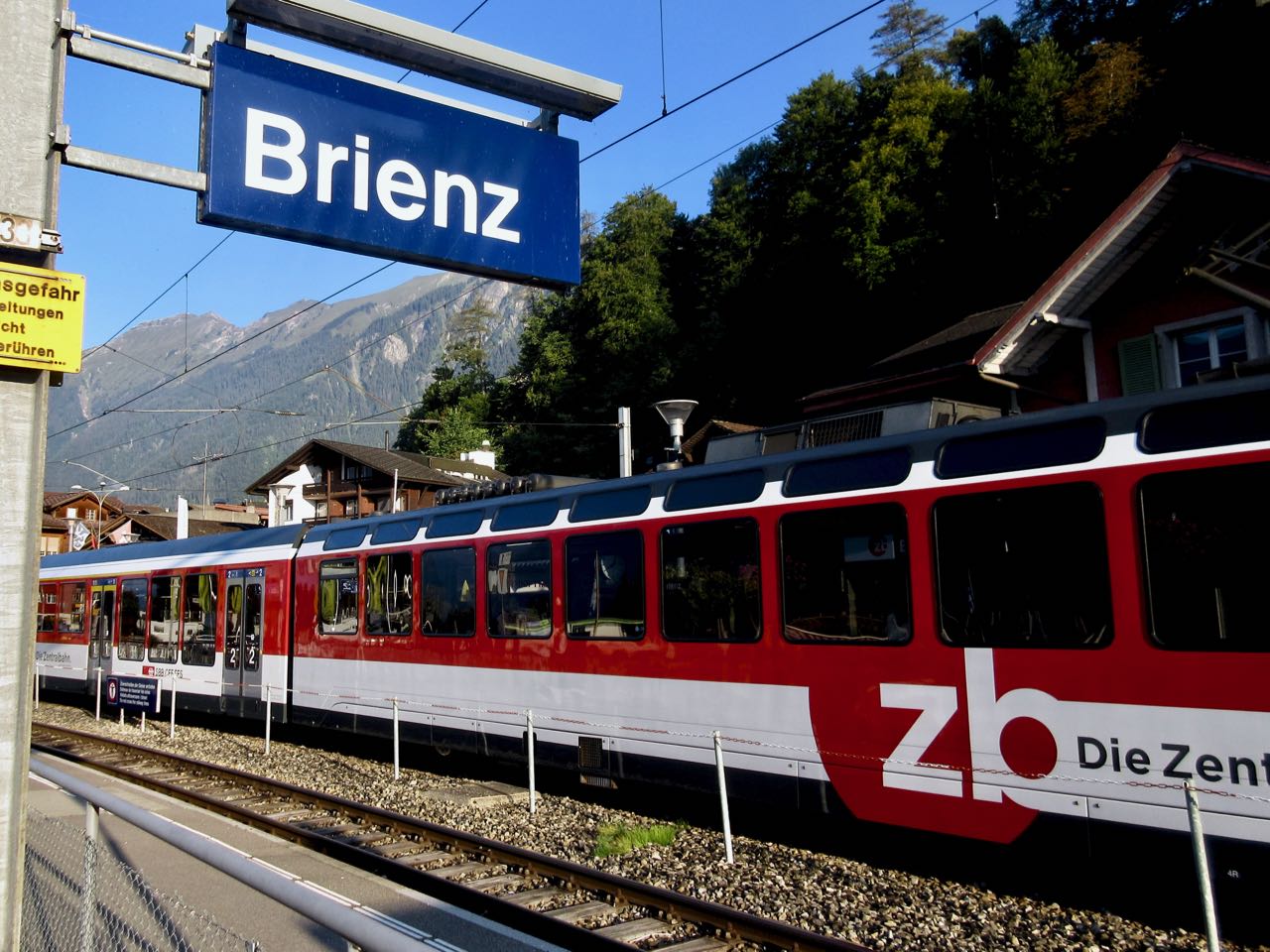
Happily I made the first steam train — 8:36am — from Brienz to Brienzer Rothorn Station. It’s been making this run since 1891.
 Price is reduced to 28 francs for the first train (2018) to encourage folks to get as early a start as possible on their hike.
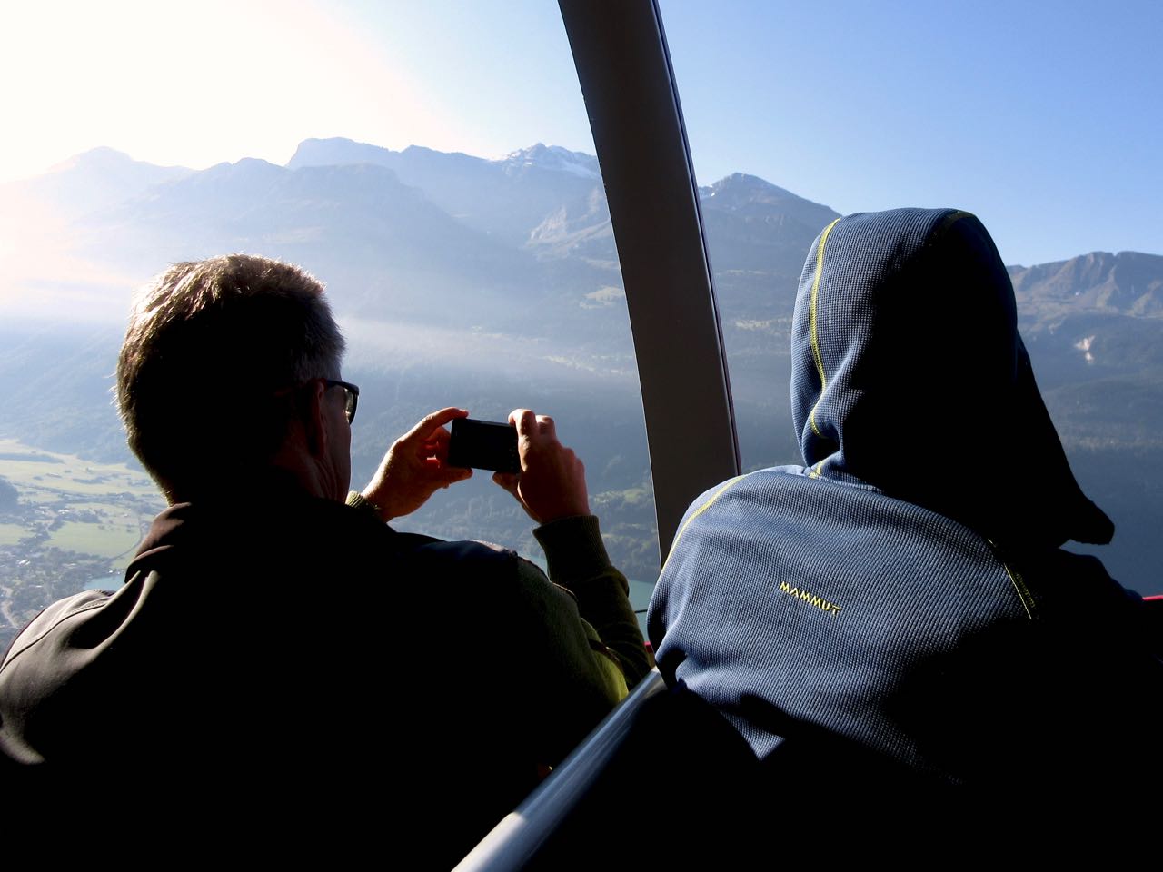
At 9km / hour it takes an hour to get to the top of the ridge 2351m.

If clear, you can enjoy distant views over to Jungfrau highest peaks; the Eiger, Mönch, Jungfrau, Schreckhorn, Finsteraarhorn.


I climbed up to the viewpoint. This is as far as most tourists hike.
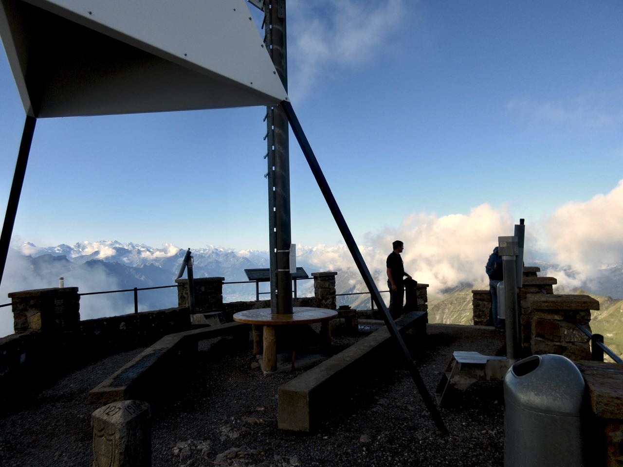
Looking down on Brienzer Rothorn Station.
At 10am I started to walk back to Interlaken. I would have about 11.5 hours to make the last teleferico down from Harder Kulm Restaurant. Otherwise I’d have to walk down in the dark.
You can’t really get lost. Follow the ridge no matter what.

The weather was perfect.
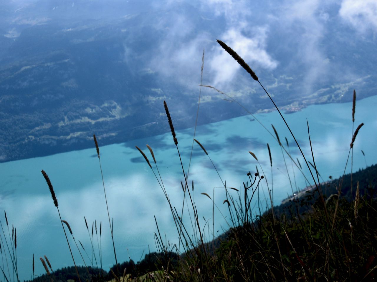
You have Brienz lake on one side …
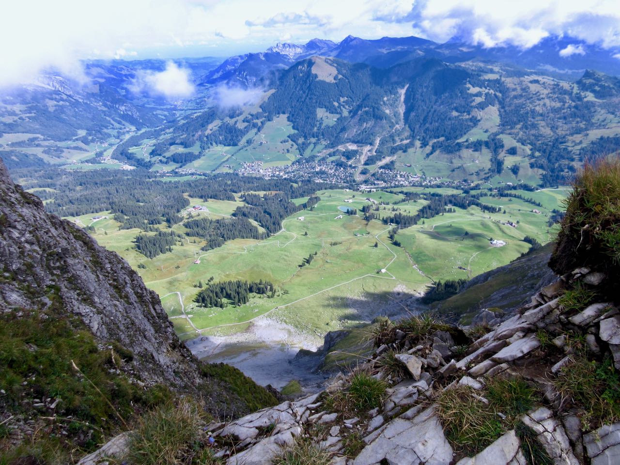
… and Swiss foothills on the other.
I loved it instantly.
Most of the time the ridge is not all that intimidating.

It often looks worse than it turns out to be.

I’d heard everyone who comes up here sees ibex. … Are these ibex?

This adventure is more popular with trail runners than with hikers as they can easily make it in less than 10 hours.

I took very few breaks. Other than checking the GPS on my phone, I had no idea whether I was moving quickly enough to finish in time.

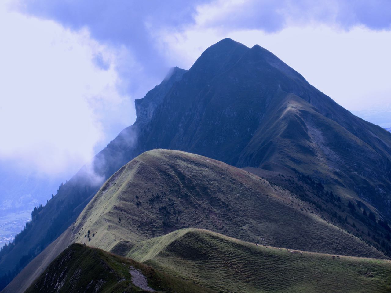
Each time I’d climb a high point on the ridge, even higher points would come into view.
I don’t think I saw another person over the first 5 hours.
Sadly I seemed to be a lot closer to Brienz than Interlaken.

There are sections with stairs, cable and chain assistance. These would be most useful when down climbing in wet conditions.

Hmm … I might finally be past half way.

I tried to quicken my pace on the easiest sections.
There are many more day hikers on the Interlaken end of the ridge. They assured me I’d make it on time.

The last 2 hours stays on the ridge, but you are mostly in the trees. It was the least interesting section … but I was pleased to have less exposure as my legs got tired.
Here it is at last. Harder Kulm Restaurant.

The last funicular descends at 9:10pm. If it’s busy they may run until 9:40pm.
I gladly paid 16 francs and found the short trip down very interesting.
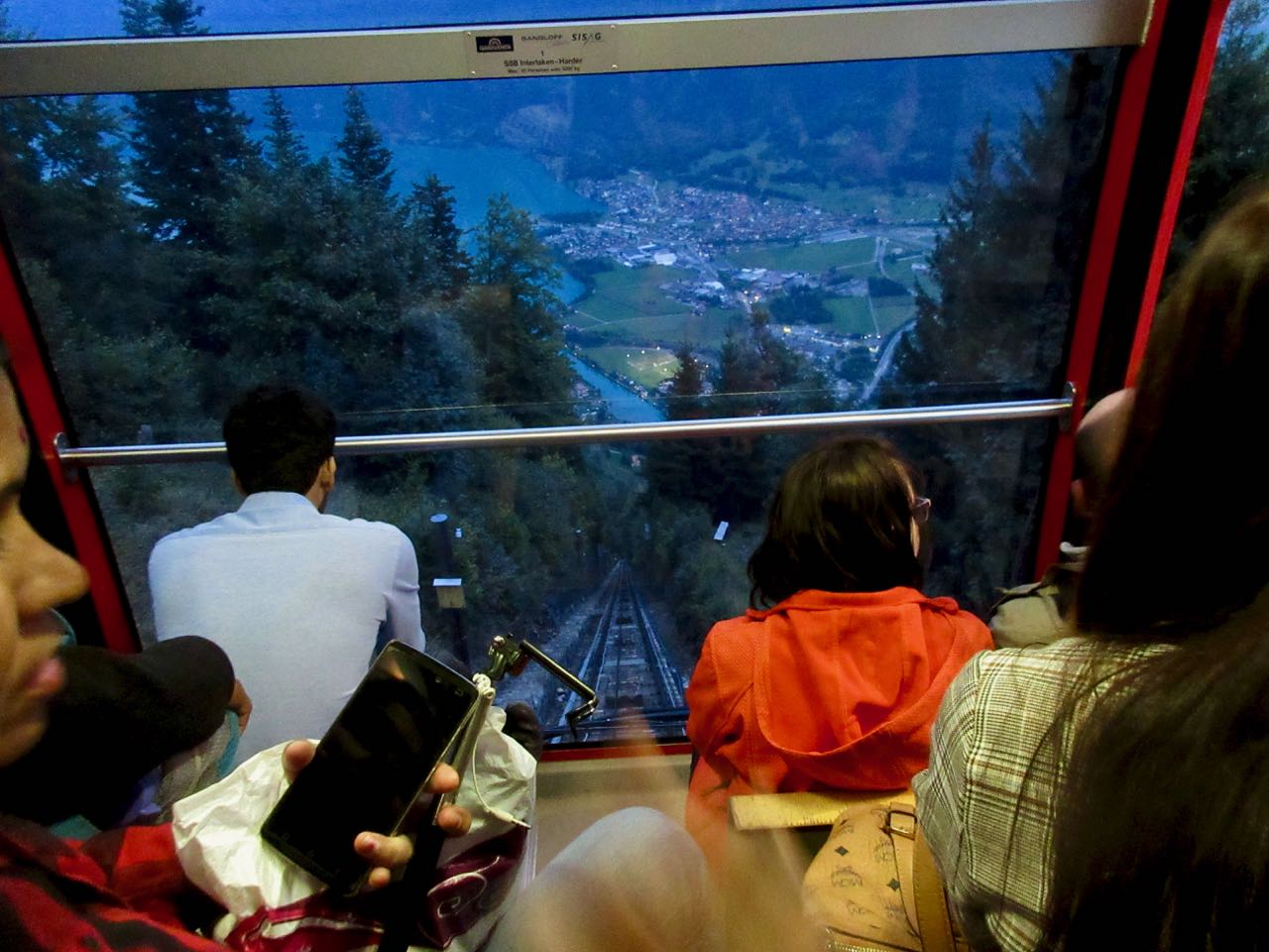
It was dark by the time we arrived Interlaken.

And I was quite dehydrated. I’d brought only 1.5 litres with me. I could have used about 3 litres.
When I got back to the hostel I announced it was the best day hike of my life.
Click PLAY or see if I look happy on YouTube.

Last week (end-Aug-2021) I hiked the complete Hardergrat trail and I would like to share a bit of details and tips from my side. In total, I hiked the Hardergrat in 12 hours. This includes the hike from Interlaken up to Harder Kulm and the hike down to Brienz Station. Excluding these two hikes up and down, the Hardergrat trail took me 8.5 hours. I took almost no breaks, which I will explain in the final paragraph.
Interlaken – Harder Kulm
– Signs will tell you it takes 2 hours. Took me 1,5 hours without taking breaks and keeping a steady pace.
– Nice and easy path, steady incline.
– There is one split where I got a bit confused. It will tell you to go left to “Hardermandli’ or right to the ‘Elfenpath’. I took the path to Hardermandli which seemed to be the correct path, as after this look-out point I got to the Harder Kulm quite fast.
Harder Kulm – Augstmatthorn
– You’ll start in a forest trail and close to farmer’s land. Very easy hike and a nice introduction to the Hardergrat follows.
– At the end of the Augstmatthorn I got a bit confused again with the signs. There were two ways moving forward at the top of the Augstmatthorn: Left showed an white/blue ‘Alpine Trail’, with warnings that proper equipment is needed. The path right looked like it was going south, declining away from the ridge. After some doubt I took the Alpine trail which in the end was the correct path.
Augstmatthorn – Brienzer Rothorn
– This is where things get serious and you will have to be extremely careful. There are slippery parts and – honestly – deadly cliffs.
– Very limited amount of signs to tell you whether you are going the right way or how far you are, which can be mentally exhausting. In any case, if you keep hiking the ridge, you are on the right trail.
Brienzer Rothorn – Brienz
– After you finally made it to the end of the Hardergrat, you can either go left to the ‘Brienz Train Station’ to catch the train down. Hiking to the trainstation will take around 1 hour. Or you take a right turn and walk down, the signs will tell you it will take 2 hours and 45 minutes. I hiked down within 2 hours as I was properly excited to have finally completed the Hardergrat. Armed with my walking poles I jogged most of the sections, as it is a very easy gravelled road path back down. Will be rough on the knees though as you have already mor than 8 hours.
Overall timelines:
– 04:00 I started the hike up from Interlaken to the Harder Kulm. Proper headlights are required of course.
– 05:30 I arrived at the Harder Kulm and immediately moved forward to the Augstmatthorn
– 14:00 I finally made it to the end of the Hardergrat, leaving me with the decision to take the expensive train or hike down.
– 16:00 I hiked down and finally made it down to Brienz.
General thoughts:
– It was extremely foggy and quite wet. In hindsight, I should not have done the Hardergrat trail as it was quite dangerous. The entire trail was menacing and the air was threatening with rain constantly. Luckily, in the end it remained dry, with exception of the wet stones due to the fog.
– As highlighted above, my total Hardergrat hike took around 8.5 hours, excluding the climb up & down. It was cold, foggy and wet. These weather conditions did not invite to long breaks to enjoy the views. My longest break was only around 3 minutes to eat my pancake lunch.
– I came across some people on this hike who started from Brienz at 10:00 or 11:00, hiking Westward. This means they would be arriving at Harder Kulm around 18:00 or 19:00. When you want to hike the Hardergrat, please make a concious decision on your starting time, as I strongly recommend to start earlier than this.
– After some cloudy days, I could not push out this hike to another day, as I was leaving home the next day already. For that reason I pushed my luck with simply hiking the Hardergrat, even though I knew weather conditions would not be ideal. Due to the fog and wet stones, I should have skipped the trail in all honesty. During the hike I just ‘wanted to get it over with’, I did not enjoy it that much.
Some of my tips above I could not find elsewhere online, so hopefully they come in handy for other hikers!
Thanks Marcel. Very good advice. I can’t imagine being up there in bad weather.