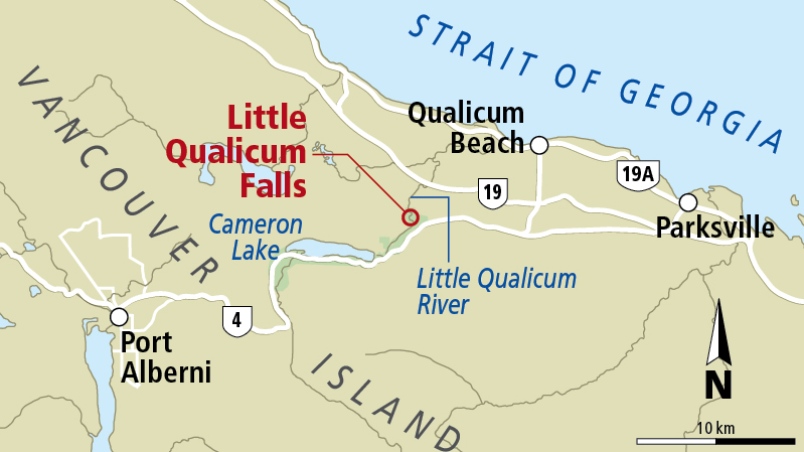
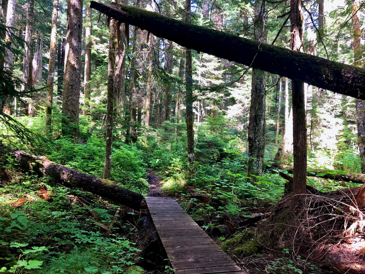
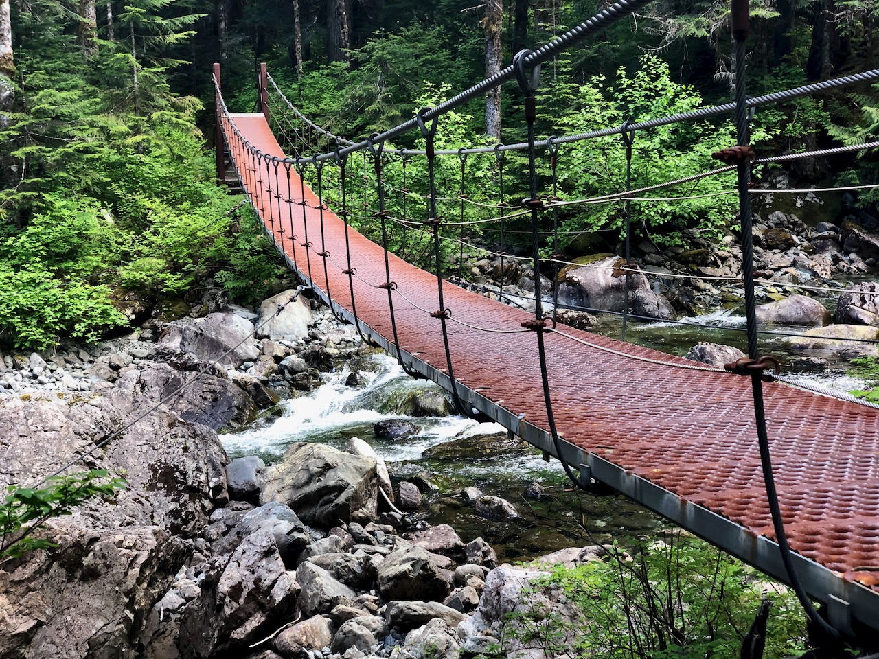
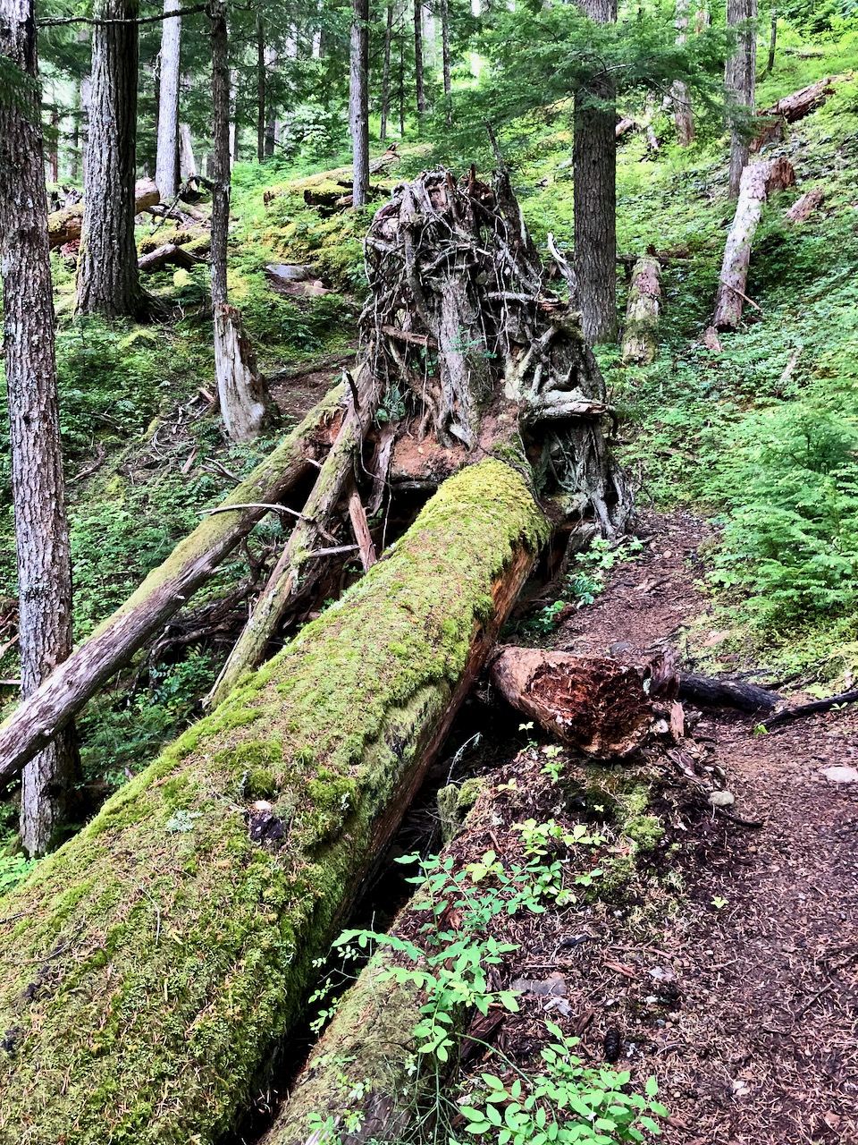
Little Qualicum Falls Provincial Park, established 1940 to protect the old growth forest, offers a terrific 1 hour hike if you are driving between Nanaimo and Port Alberni.
There are plenty of other nearby attractions including Cathedral Grove.
Swimming is possible in good weather. But know that people have drowned here.
Pestered by wasps and other biting insects on those two earlier trips, I deliberately returned late season. No bugs.
This time I headed for the Troubridge Trudge section:
Oct 24 – Lang Bay to Golden Stanley hut (km 145) Oct 25 – Golden Stanley to Mt Troubridge hut (km 158) Oct 26 – Troubridge to Fairview Bay hut (km 173) Oct 27 – Fairview to Lang Bay (km 180)
You can hike 42km in either direction. It’s called the trudge as this is the highest section of the Sunshine Coast Trail.
I assumed I’d have Troubridge hut to myself again when Chris and his dog arrived. Rather than sharing a small space, Chris took the A-frame. I stayed in the hut on my own.
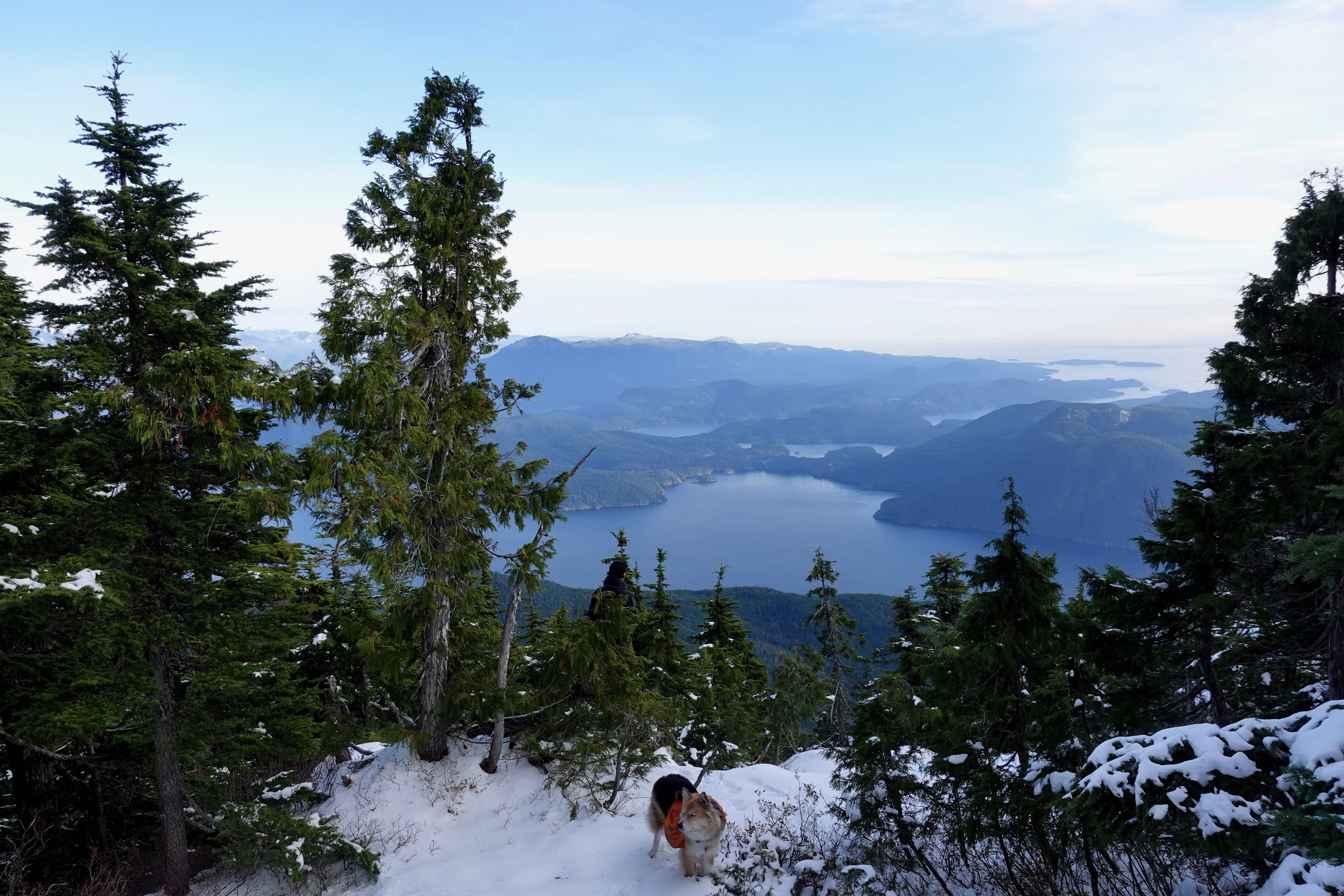
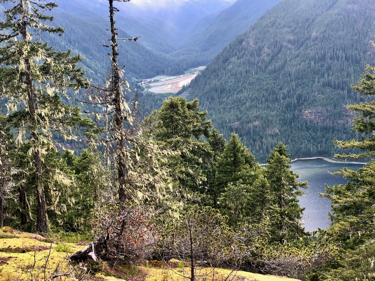
He had the views of Jervis inlet and could see all the way to Powell River.
Turns out winter camping is quite comfortable — when you can sleep in a hut rather than a tent.
I took plenty of winter wonderland video. And later managed to accidentally delete most of it. Somehow. 😕
Oct 26 – Troubridge to Fairview Bay hut (km 173)
More good weather. I was worried the descent might be slippery, but new snow was mostly grippy. No problems in approach shoes.
Navigation no problem in winter either.
I stopped 800m lower for lunch at Rainy Day lake (km 169) which has a hut.
Winter hiking is much different than doing the same thing in summer.
Eventually snow disappeared. Went away. Like magic. 😀
Though it’s an easy, flat 1.2km stroll one way, I still rank Willingdon one of the best hikes in North America because it’s so unique. Historical.
Started 1910 as a logging railway along the coast, today it’s an outdoor museum of forestry technology, gradually being consumed by temperate rainforest.
Start at the main coastal park in downtown Powell River and walk towards Willingdon Beach Campsite (excellent, by the way).
After you finish the trail, if you continue walking towards the Pulp Mill — staying as close to the water as you can — you’ll get some distant views of the largest floating Hulk breakwater in the world. Very cool.
It’s used to protect the Pulp Mill’s log storage pond.
While nine of these ten ships were built during the Second World War, the tenth ship, the S. S. Peralta, is the last remaining WWI concrete ship afloat.
It’s named for Albert Edward, Prince of Wales, later King Edward VII.
Most who climb it start at Circlet Lake campground.
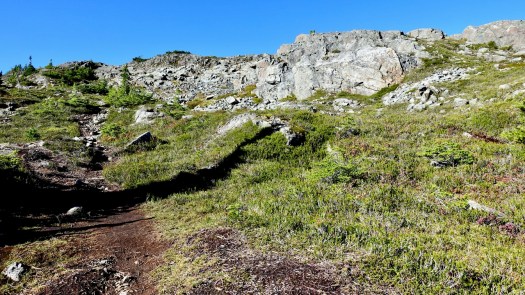
From the campground it’s only5.5km to the summit, but it took much longer for me than I anticipated. Update: that sign on the trail is wrong. It’s significantly further than 5.5km. 😀
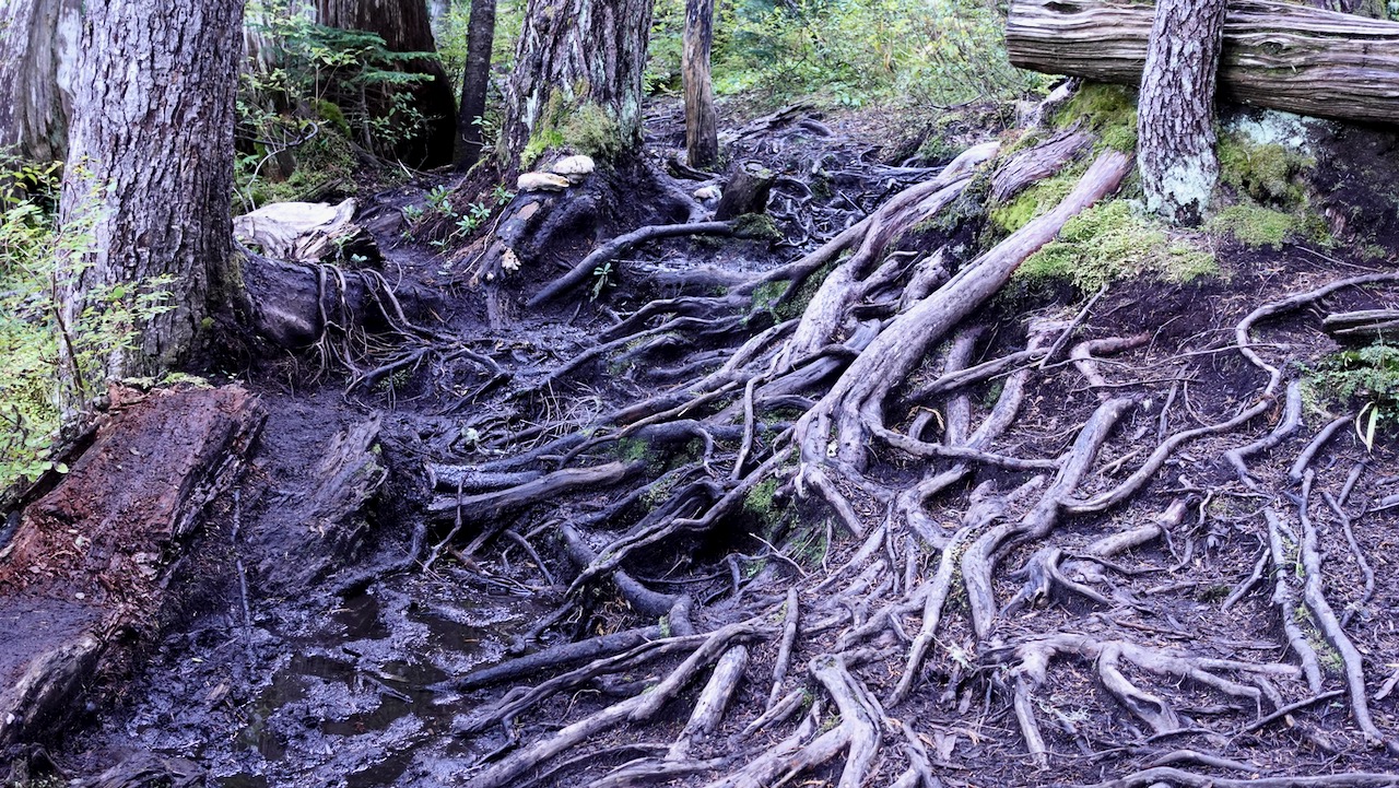
The muddiest trail I found was that just departing Duck Pond.
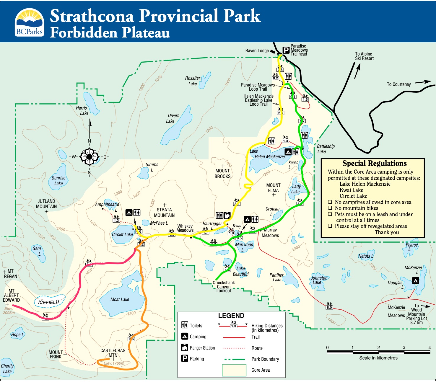
I hiked Circlet to the summit on the trail marked in red.
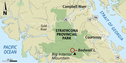
Paradise Meadows is the best and most convenient trailhead in Strathcona, largest and oldest (1911) Provincial Park in B.C..
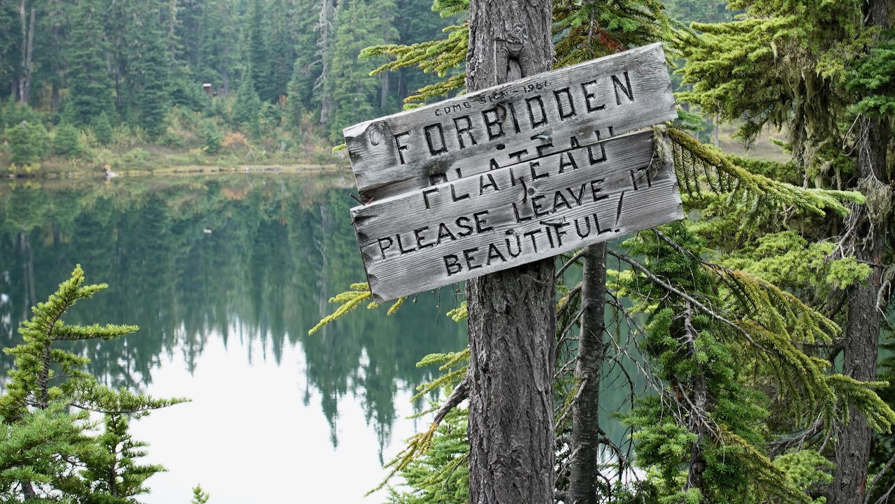
It’s easy access to the Forbidden Plateau on paved Strathcona Parkway up to Mt Washington Alpine Resort 1100m, 20km up from the inland highway.
Close to Courtney, Cumberland, and Campbell River. The nearest airport and ferry port are at Comox.
Looking from Raven Lodge at the trailhead, the most distinct peak is sharp Albert Edward, 6th highest mountain on the island.
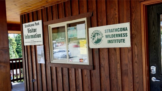
It seemed to me in 2020 that Strathcona Park did not have as much staff as they would like. Happily the volunteers of the Strathcona Wilderness Institute are often in person at Paradise trailhead. Make a donation if they help you out.
→ Centennial Loop (2.5km) → Paradise Meadows Loop (4.2km) → Lake Helen Mackenzie – Battleship Lake Loop (8km) → Helen MacKenzie-Kwai Lake-Croteau Loop (14km)
Those trails closest to the trailhead are best maintained: bridges, pit toilets, good signage and much boardwalk. In fact, the Centennial Loop is wheelchair and scooter accessible.
Check the map. I hiked in to Circlet Lake on yellow, mostly looped back on green. But there are MANY possible different interconnecting loops.
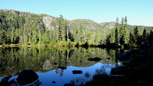
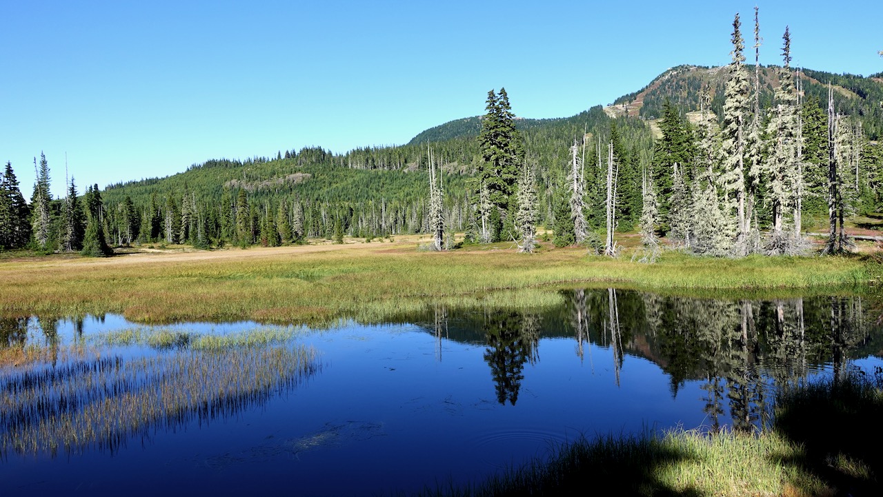
Most hikers on the Forbidden Plateau stay down in the subalpine: forested hills, postcard pretty lakes, babbling brooks, and lovely meadows.
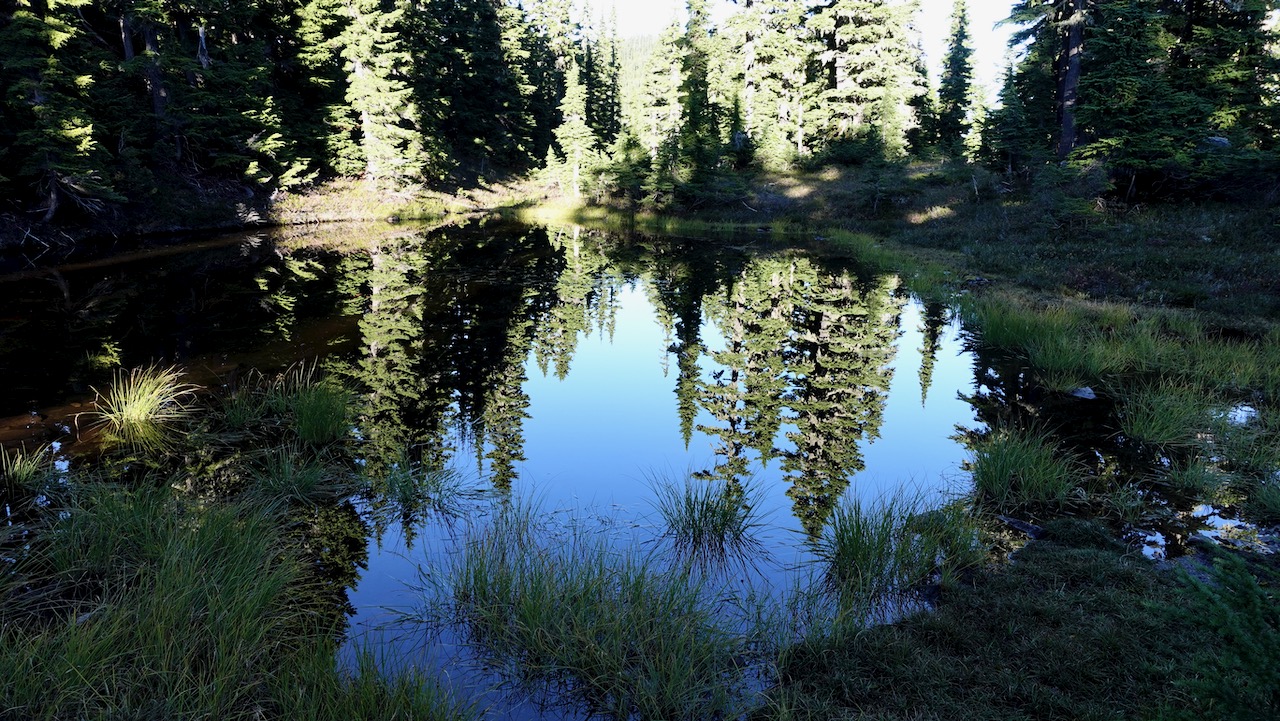
It’s wet. Expect rain.
Expect mud. 🙃
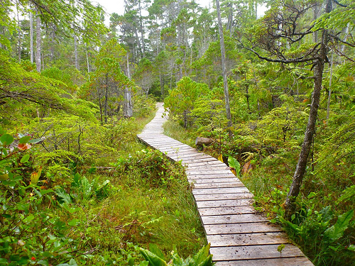
If we couldn’t enjoy all this beautiful boardwalk, we’d often be wading wetlands.
Water water everywhere, yet I found I had to treat almost every source. There are not all that many fast running creeks.
I passed one picturesque Ranger cabin.
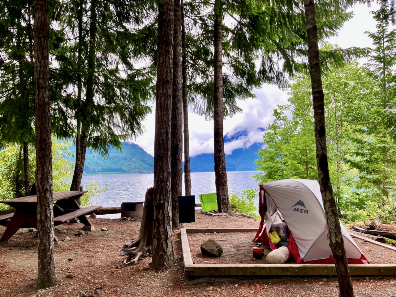
Three first-come, first-served campgrounds are quite good, the closest at Lake Helen Mackenzie near the trailhead. Each has pit toilets and bear proof food lockers. (CAD$10 / person / night in 2020)
I was there late September 2020. Very few mosquitoes! That’s not always the case here.
I hiked in to Circlet about 9.5km one way. About 4 hours walking. Stayed 3 nights.
Arrived just before dark. Camped on pretty Duck Pond rather than the lake itself.
Circlet is not likely to fill up — but you MIGHT find no space left at Helen Mackenzie and Kwai Lake campgrounds on a busy day during the short summer season.
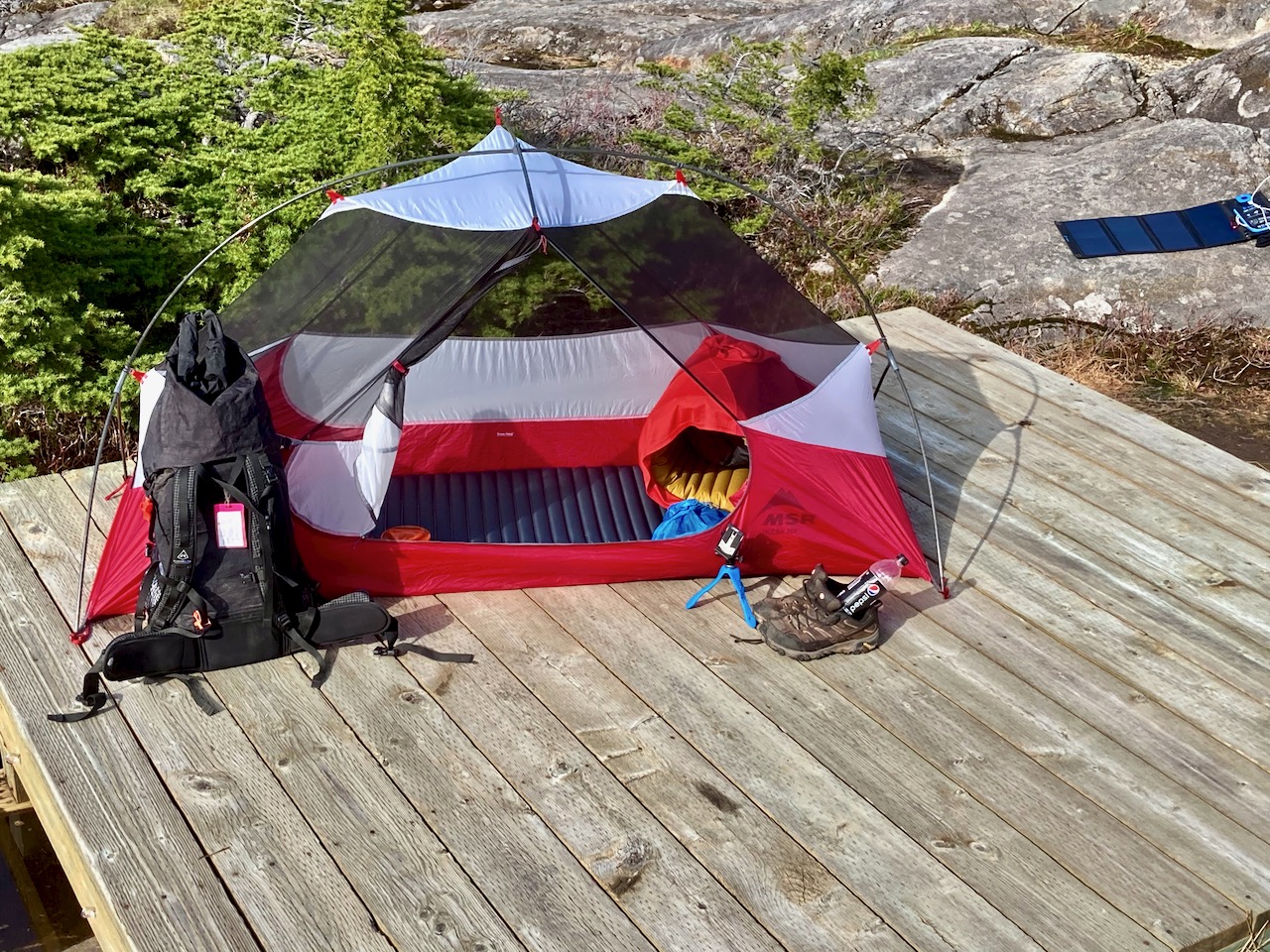
no electricity nor mobile phone service. I carried a solar charger.
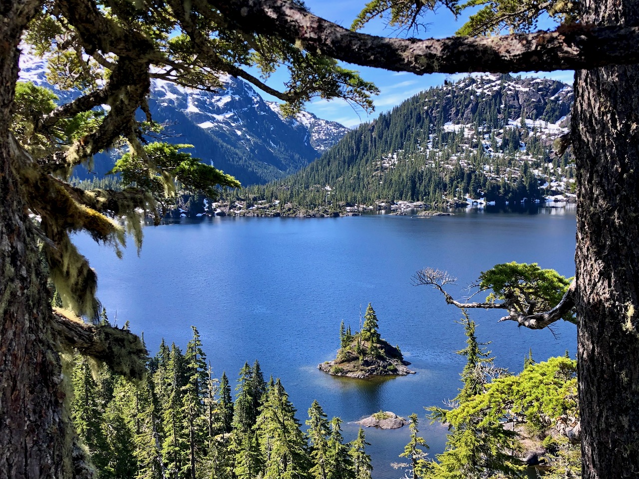
Bedwell Lake lookout
If adventurous, you could continue to longer routes including:
Cream Lake
climbing Big Interior mountain
continue to Mt Myra
continue to Phillips Ridge
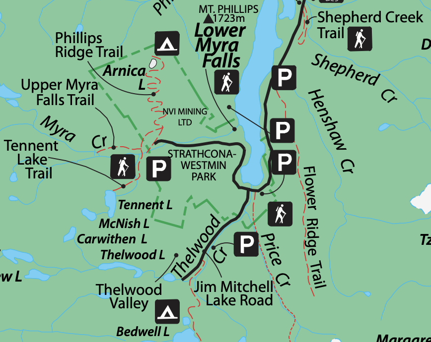
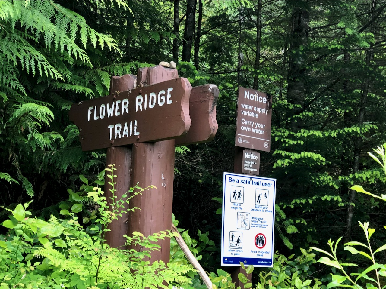
exit via Flower Ridge
exit via Price Creek
climbing Mt Tom Taylor
Amazing would be to continue to Bedwell Sound, organizing a water taxi to take you to Tofino.
Good navigation needed on all those options, of course. They are all more difficult than Bedwell.
If I had proper snow gear I would have continued on to Cream Lake (at least) where you get views of Nine Peaks, Mt Septimus and (possibly) Della Falls, highest in Canada.
I did talk to one couple who were trying to posthole their way to Cream. And they looked prepared. It would be easier later in the season.
CAUTION – A hiker died here in 2015, Anders Jason Newman. He slipped and fell from height somewhere above the lakes.
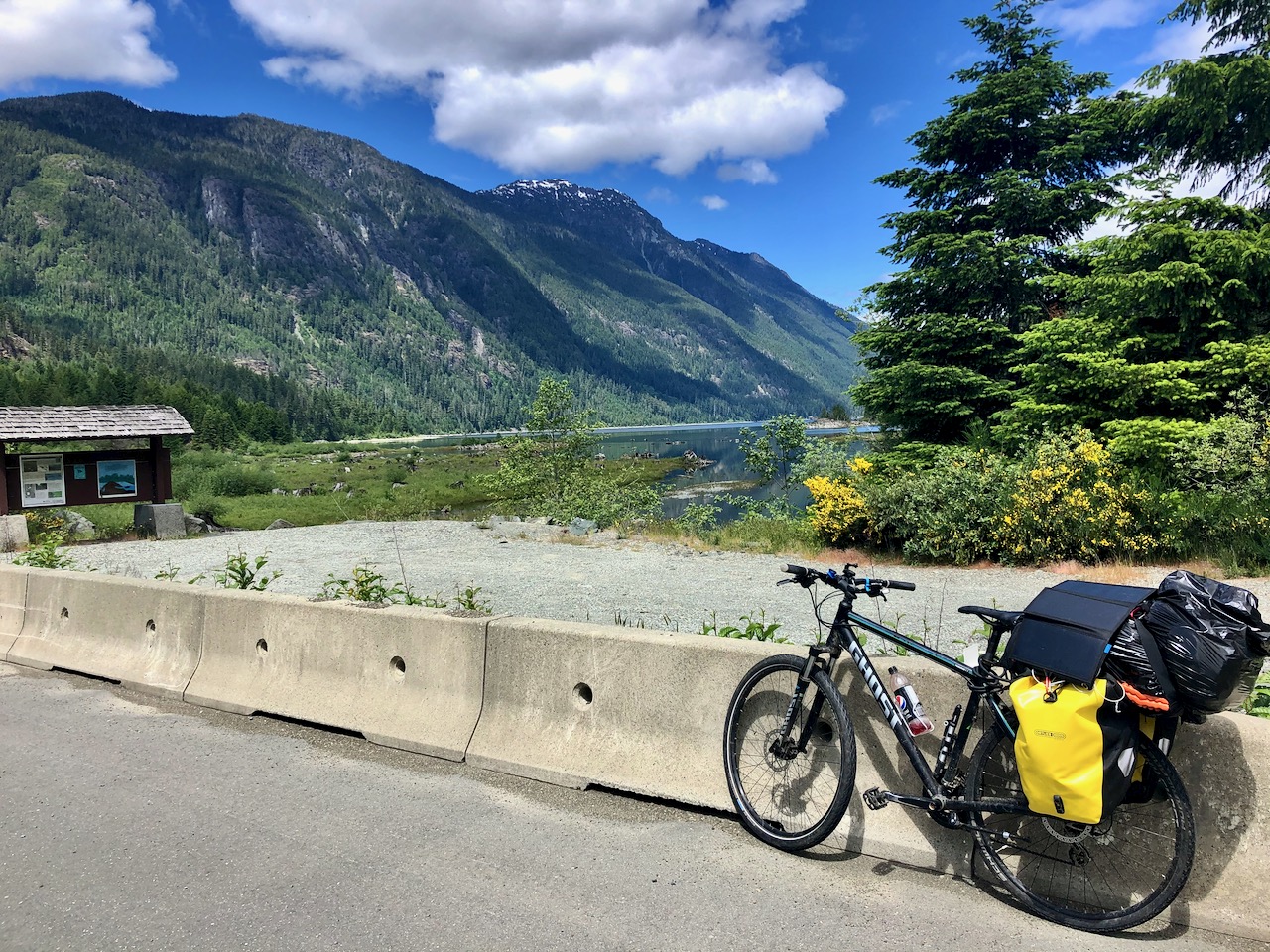
Cycled to the trailhead, walking the last 3km as Jim Mitchell Lake road was steep!
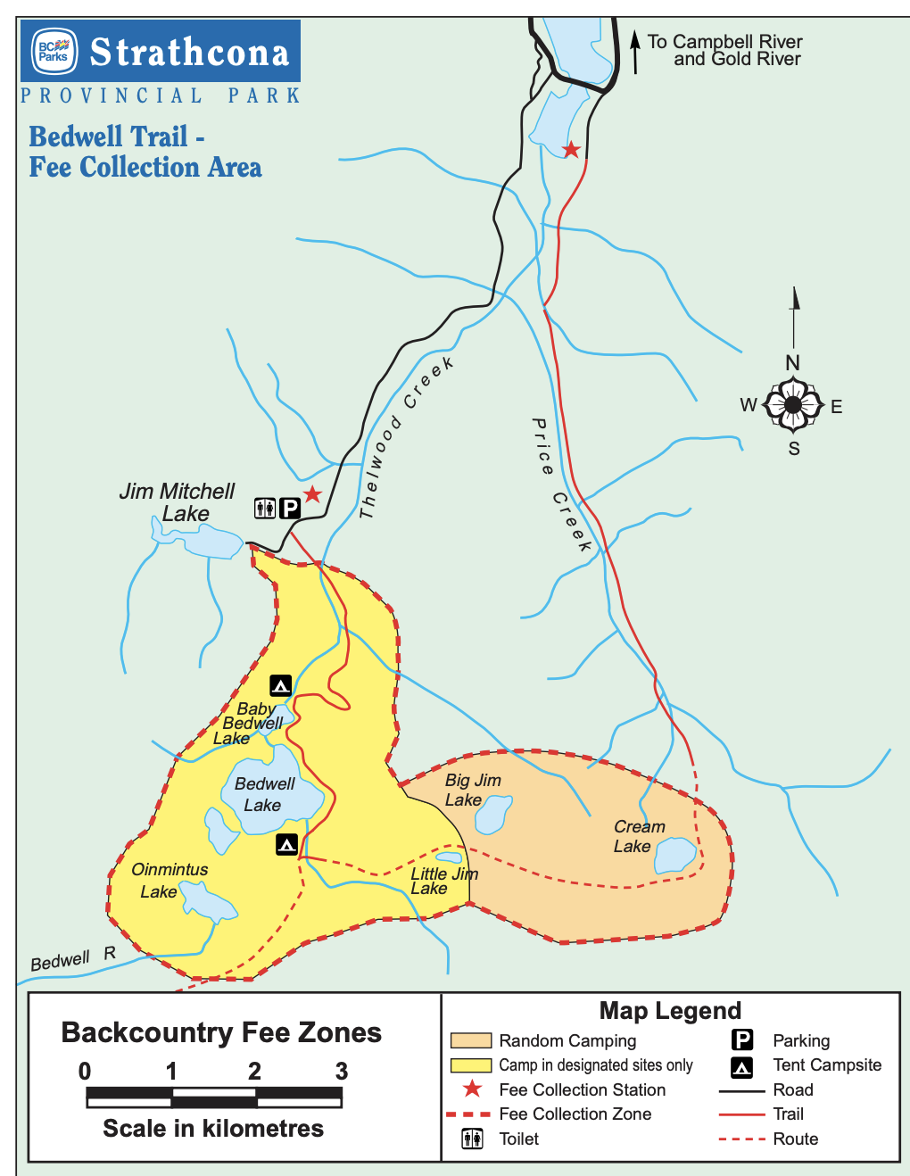
Bedwell is possibly the best maintained trail in Strathcona. So steep and (potentially) wet, numerous anti-erosion measures are necessary: wood bridges, metal bridges, boardwalk, etc.
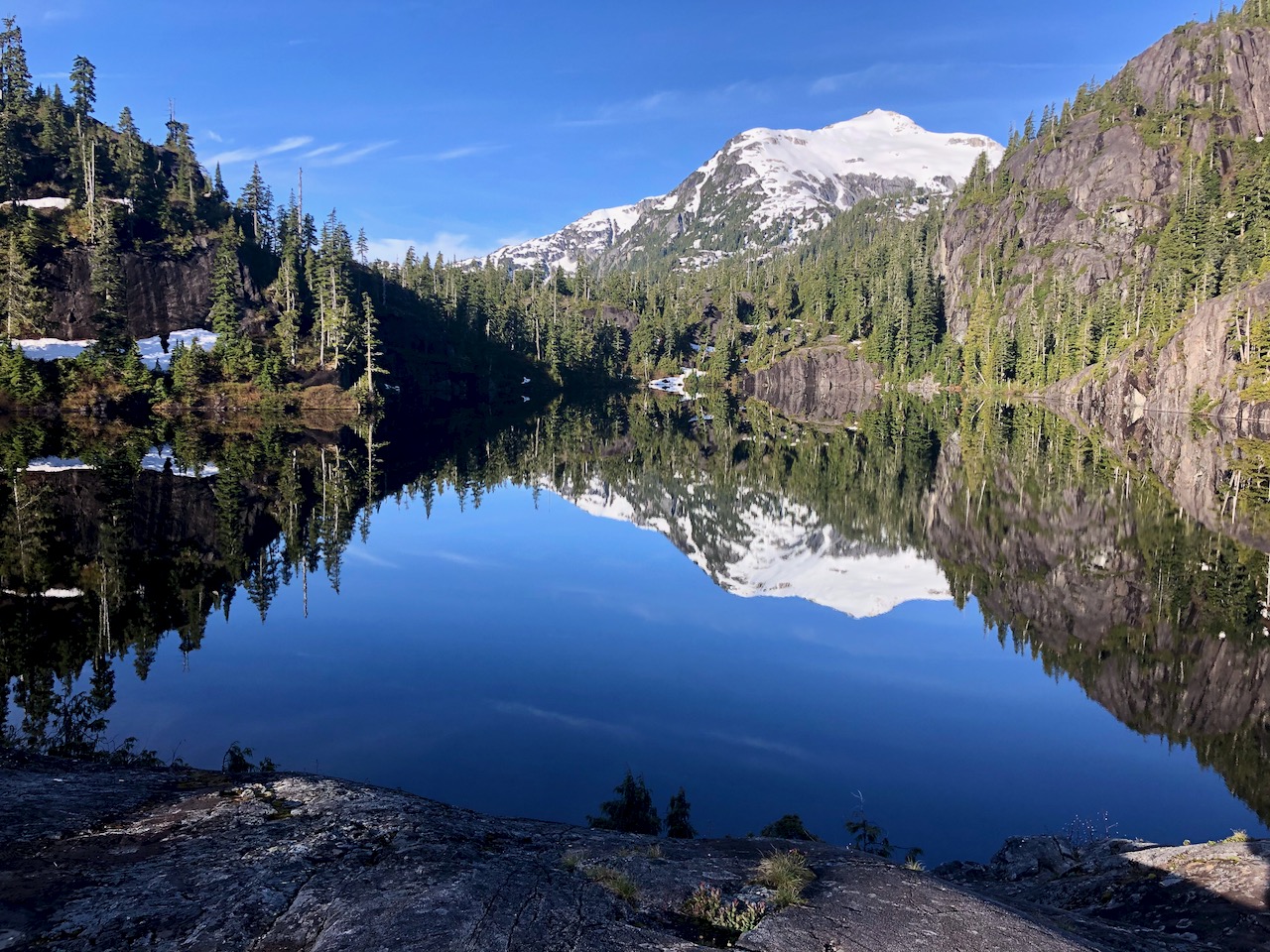
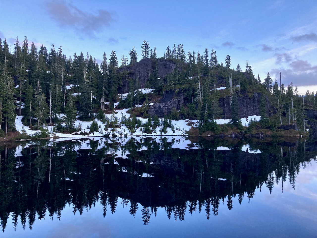
I reached Baby Bedwell lake about 6pm. A gorgeous vista looking over to Mt. Tom Taylor.
Relaxed. Enjoyed dinner from the rocks watching the fading light.
Next morning perfect weather again. No wind.
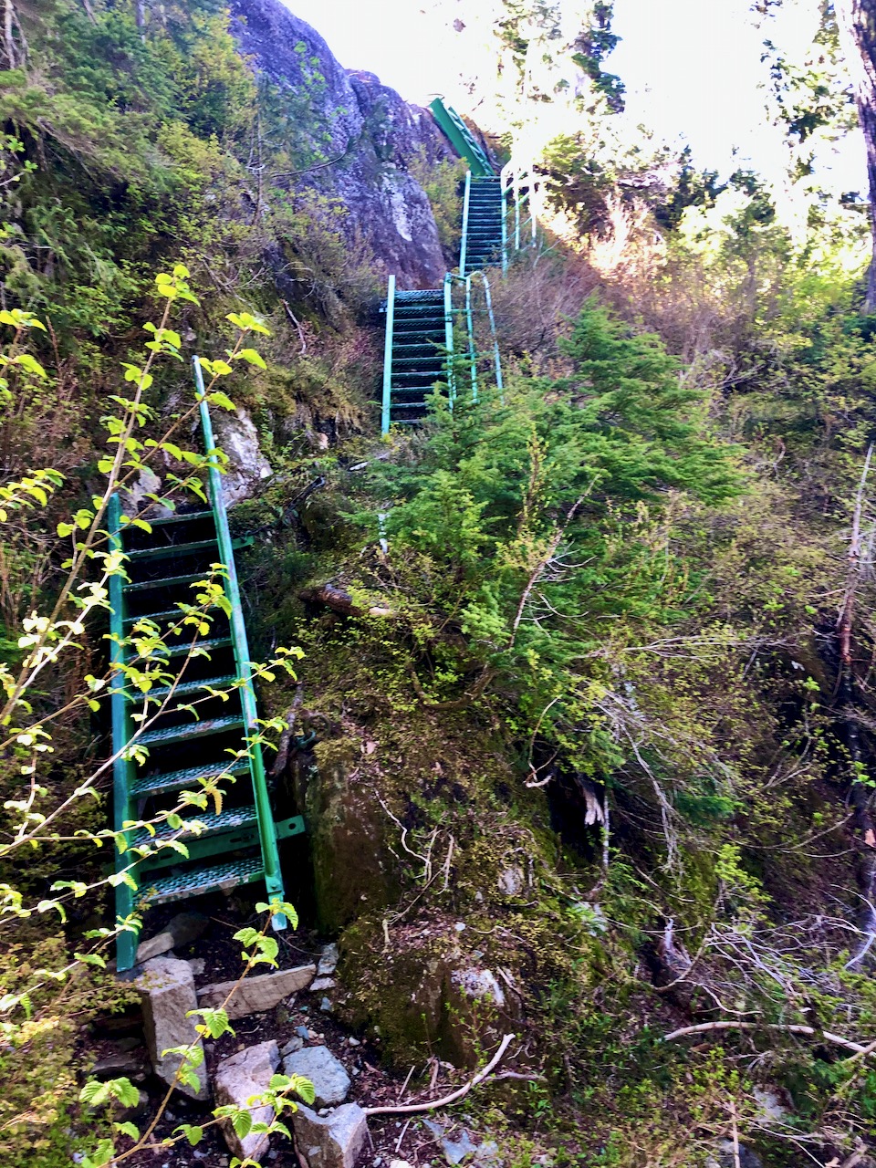
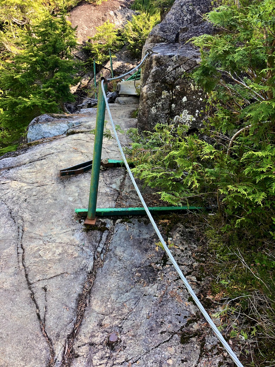
En route to the big lake are a number of steel ladders and one chain assist. It would be very slippery when wet descending in the rain.
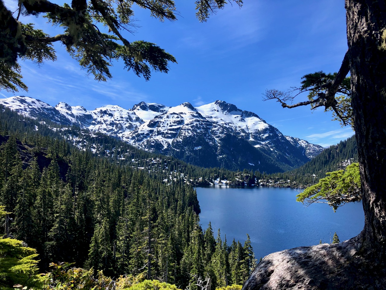
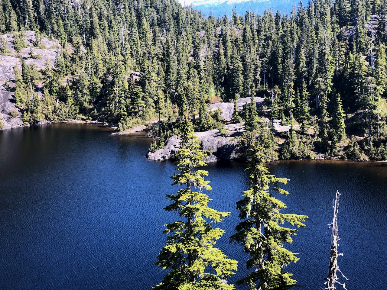
Wow. You arrive well above Bedwell lake with astonishing vistas.
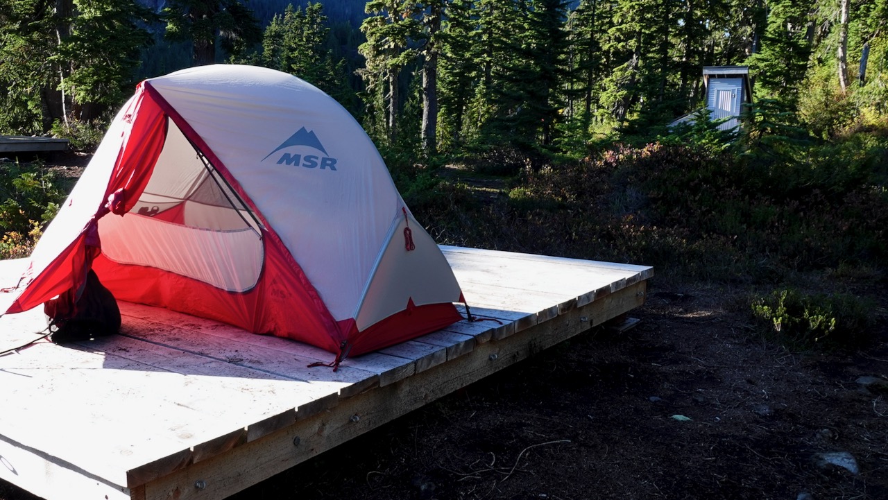
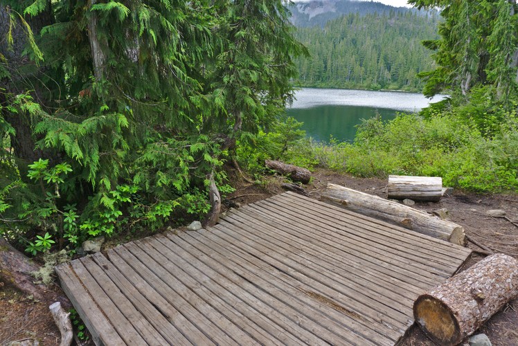
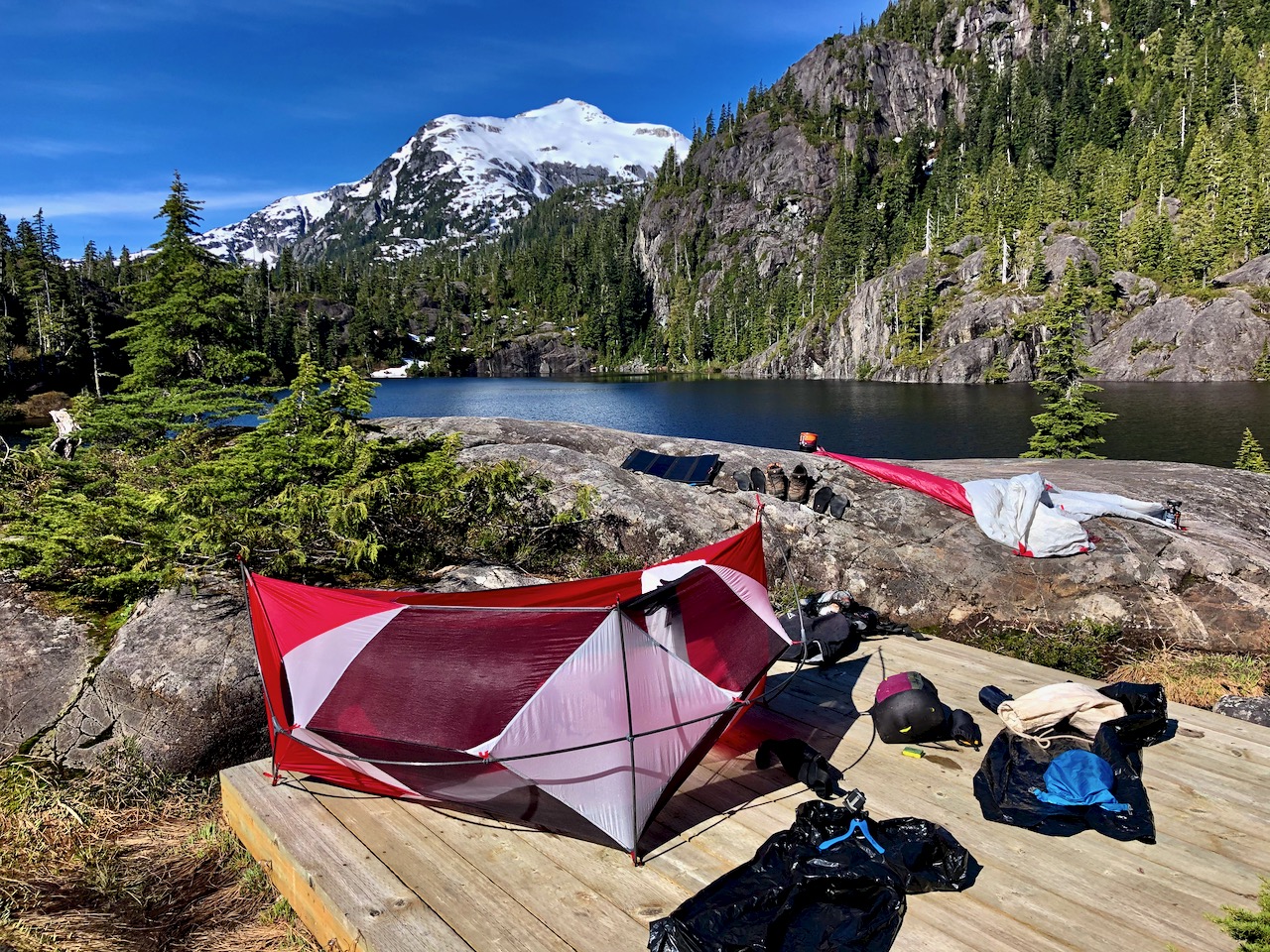
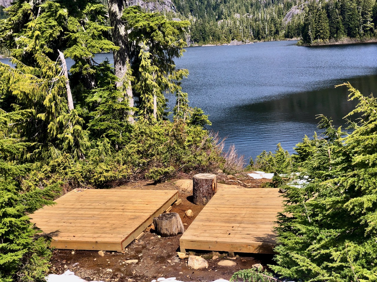
There are tent platforms at both lakes. Personally I prefer those at Baby Bedwell over these at Bedwell.
With good weather, my return back down the same trail seemed easy to me.
Strathcona Park had just opened following the COVID-19 shutdown.
The previous day I’d tried King’s Peak with a light day pack. Didn’t get higher than 770m due to high creeks.
Learning my lesson, for Flower Ridge I brought food for up to 3 days. Full pack.
Started up about 5pm.
Like many Strathcona hikes, Flower Ridge starts with a steep climb. But less steep than most others
Not many views early on. When you do, it’s of the the Myra Falls Mine (opened 1959)
The mine is currently owned by Nyrstar and produces zinc, lead, copper, silver and gold concentrates.
Any time you are hiking a ridge, finding running water might be a problem. But my guidebook said there was one reliable creek — I never found it.
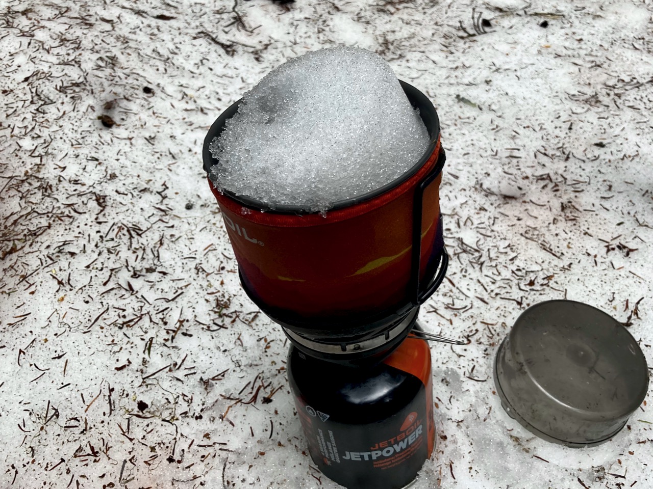
No worries. There is plenty of snow to melt. You dig to find the clean white stuff.
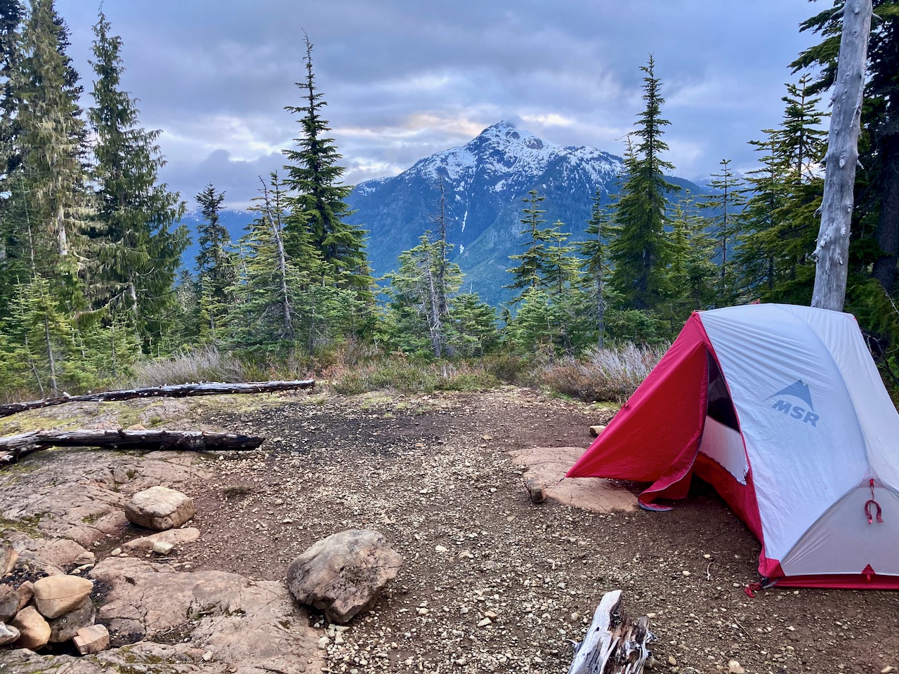
I set up 8:30pm at the first obvious campsite. Days are long in Canada in June.
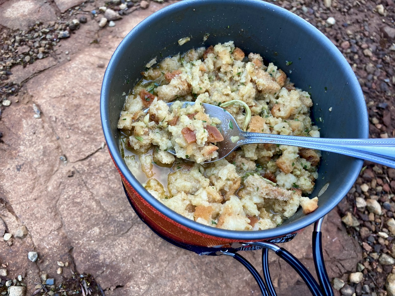
Normally my dinners are based around instant mashed potatoes. But for this trip I went all in for instant stuffing.
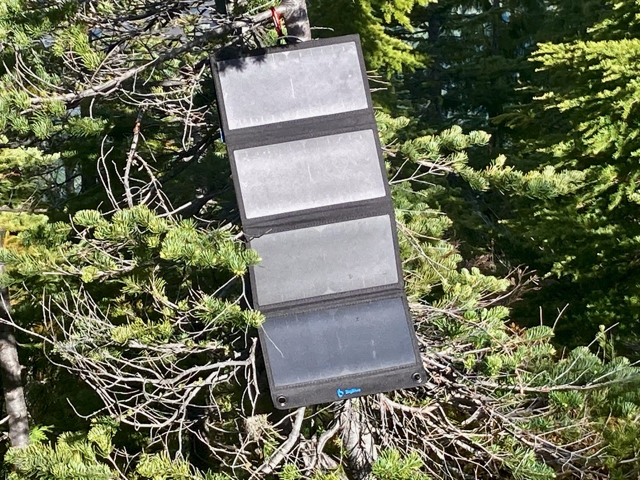
I carried my 1.2 pound solar charger for the first time. Normally it stays with my bikepacking gear.
There’s no electricity in Strathcona. No mobile phone service.
I climbed higher next morning. But quickly the snow got too deep. Just like King’s Peak the previous day, I only reached perhaps 800m elevation before turning back.
The ridge is about 1200m. In those meadows I would have found more famed spring flowers.
I really need to return to Strathcona late season: August – September.
#LessonLearned
If you want to do it right, click over to MBGuiding: