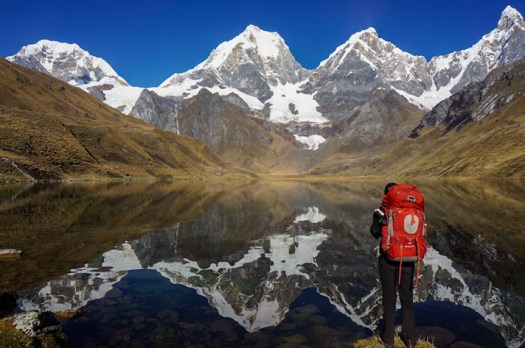
trip report by besthike editor Rick McCharles
day 0 | day 1 | day 2 | day 3 | not recommended
When you sleep under the net and stars, you wake at first light.
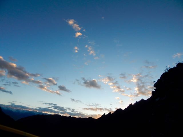
In no rush, I enjoyed 3 pots of coffee while waiting for the sun to reach my tent.
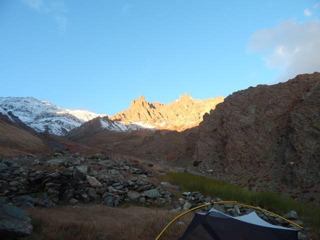
Time to GO.
Up. Up. Up.
As I drew closer the crossing got increasingly more serious looking.
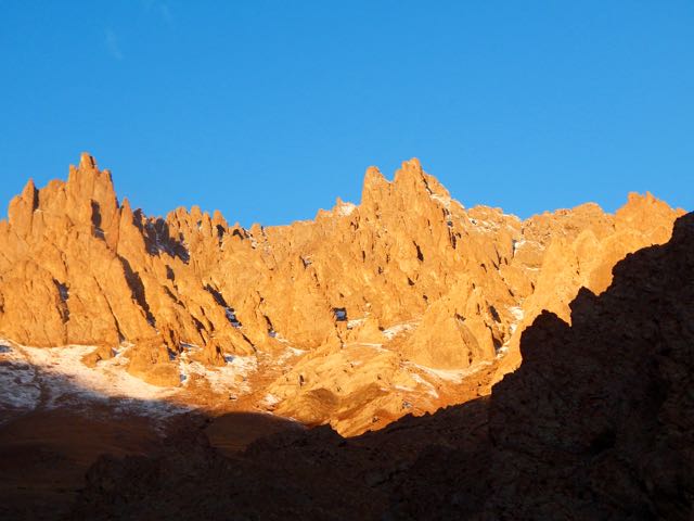
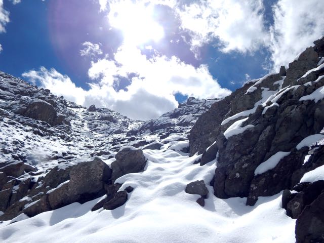
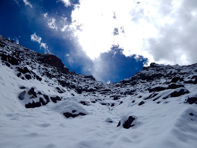
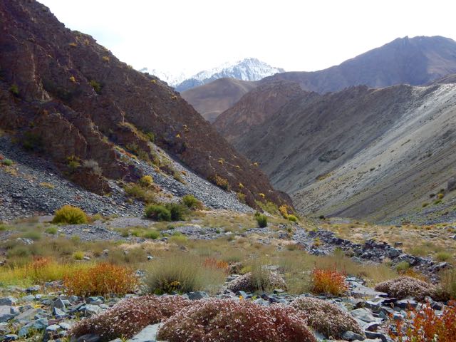
Entering this valley, the trail disappeared beneath the snow.
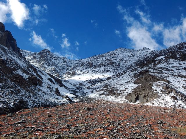
I was at the same altitude as the snow line on the other side of the Indus.
Luckily, the weather was perfect.
Which notch on the skyline is the pass?
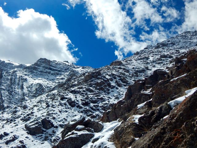
Normally I’d be able to find the route by following cairns.
Sadly, there were very, very few cairns. Mostly I made up my own route. The new snow got thicker and thicker.
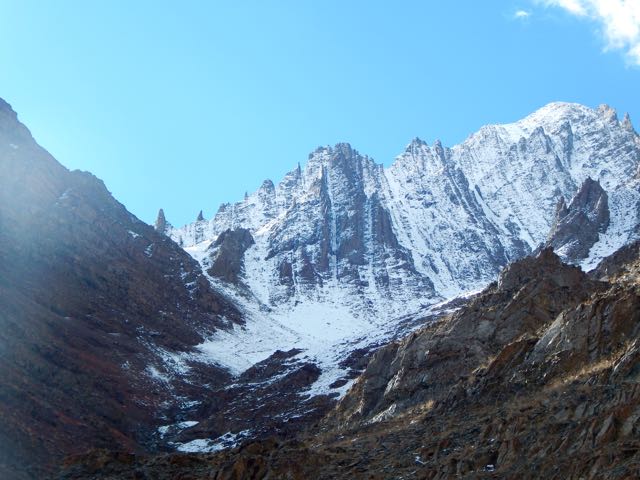
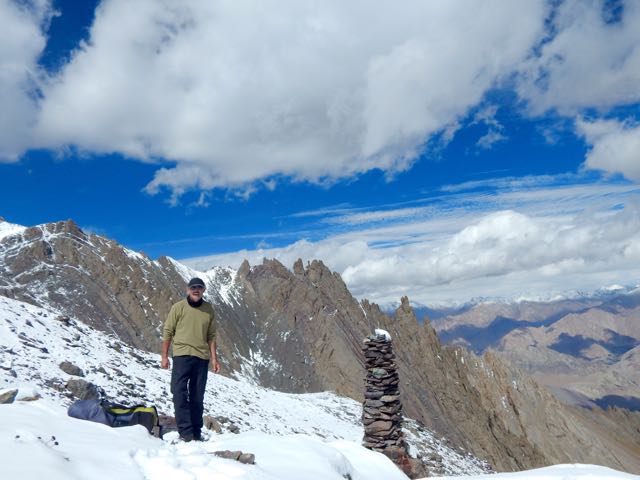
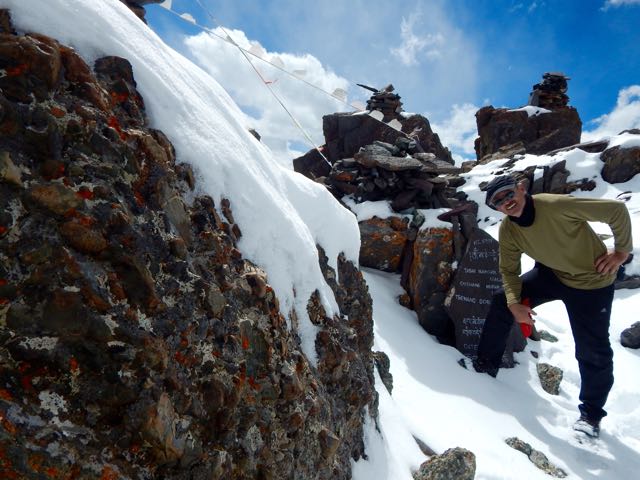
I was the second visitor here since the snow fell.
As the morning warmed-up, snow got softer. At the top there were sections of exposure.
The slope got steeper. Finally – pissed off – I dropped my pack and climbed up the slippery, frustrating slope without it.
Happy. Happy. I finally saw the prayer flags of Stakspi La 5177m (16985ft).
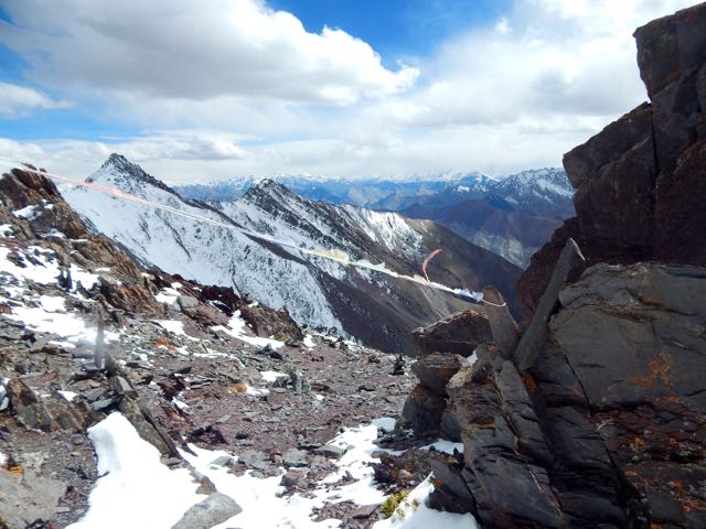
Thanks the Gods. The other side was an easy descent, in comparison. I’d feared it would be as snowy and slippery as the ascent side.
It was an 15 excited minutes down. 35 very motivated minutes back up with the pack. (The alternative – having to retreat on that soft snow could have been disastrous.)
Even better, the downhill was a soft scree slope. Fun. And very easy on the knees and feet.

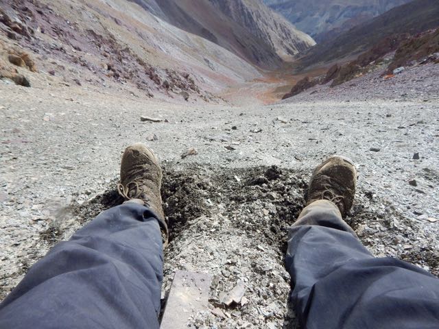
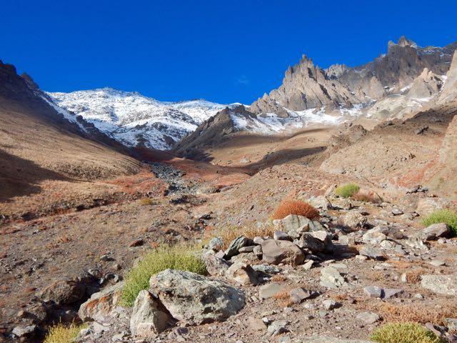
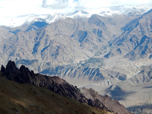
Very quickly I was at the valley bottom looking back at the Pass.
Already I’d concluded to NOT recommend this route on my hiking site. It’s far too dangerous. And it was obvious that very few people ever cross it.
I’d not taken the time to melt snow so had very little water left at this point.
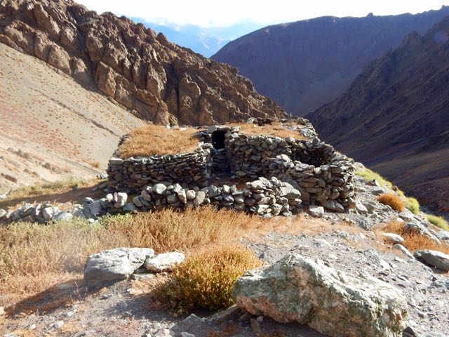
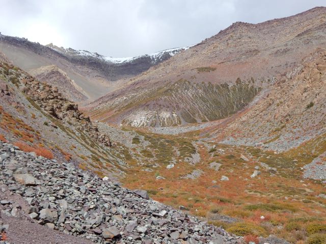
I could see small springs up high on the slopes, but was watching closely for the start of water in the main valley. And for good camp spots. I was exhausted.
I spotted one possibility.
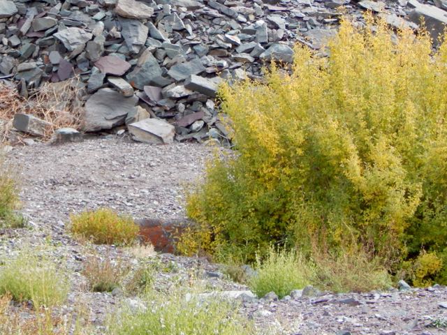
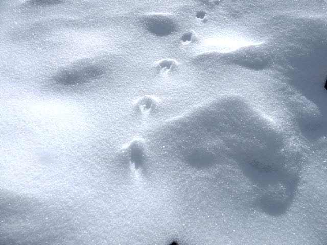
Then 2 snow leopards resting next door! There may be as few as 7000 left in the wild.
One took flight instantly. And was gone.
The other stayed. And stared me down. I franticly fired up my camera into video mode.
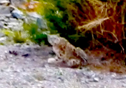
Eventually the second took off after the first, both disappearing into some scrub trees on the mountain slope.
Click PLAY or watch the video on YouTube.
I hung around for another 30 minutes, hoping to see them again. But I believe both stayed in the trees motionless. Watching me.
Needless to say, I didn’t camp there. I moved on down the valley.
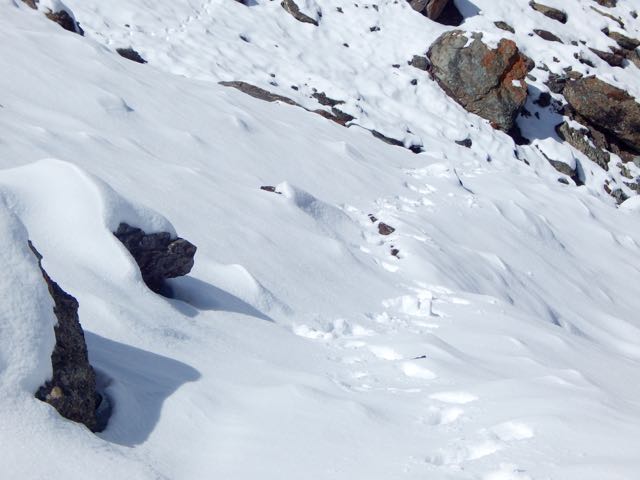
About 15 minutes later I found out why the snow leopards were so close to a human trail. They were on the hunt. This is their favourite prey – Blue Sheep.
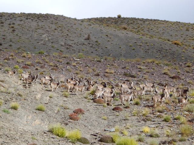
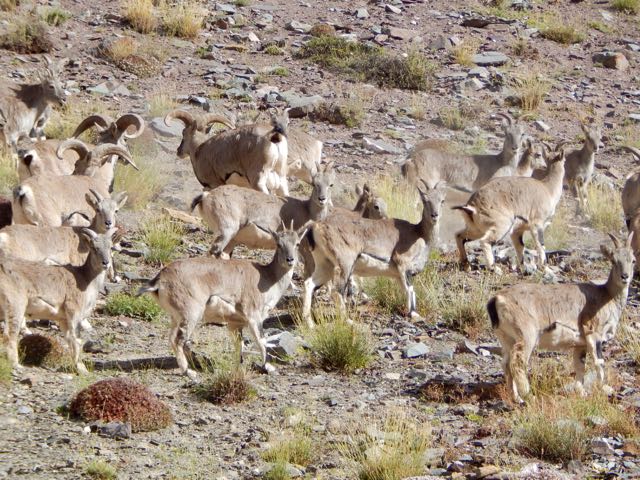
Why were these sheep so far from the protection of a rocky wall? I could only guess they’d come down for an evening drink of water.
Not much further down I found a protected, hidden spot by the finally running water. And crashed early.
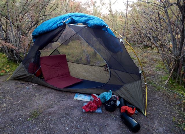
It had been a rough day.
But seeing snow leopards definitely made up for my suffering on the ascent. The Snow Leopard (1978) by Peter Matthiessen is one of my favourite books. In it George Schaller and Matthiessen search for Himalayan blue sheep and Snow Leopard. Schaller eventually spots a snow leopard, but Matthiessen does not.
See all the high resolution photos from this day.
day 0 | day 1 | day 2 | day 3 | not recommended


 Six-day return treks to the ruins of La Ciudad Perdida are only allowed through a government agency. Guides arrange transport, food and accommodation — essential because the area is a significant marijuana and coca-growing region.
 Our guide was most famous and experienced having made the trip over 500 times since the Lost City had been rediscovered in 1976.