Megan “Hashbrown” Maxwell did Huayhuash alone and independently. She’s one tough hiker.
Still … she felt Huayhuash was the toughest hike of her life.
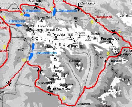
The Huayhuash Circuit is a beast of a trek. I would only recommend it if you have done a trek before and have an idea of what you’re getting into. I would only recommend going guide-less if you are at a confident level of backpacking experience, have taken the time to acclimatize, and are physically fit and able to carry a pack loaded with a week of food.
The guidebook for this trail is Peru’s Cordilleras Blanca & Huayhuash, available on Amazon. I found this to have all the information I needed …
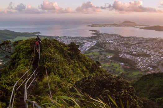
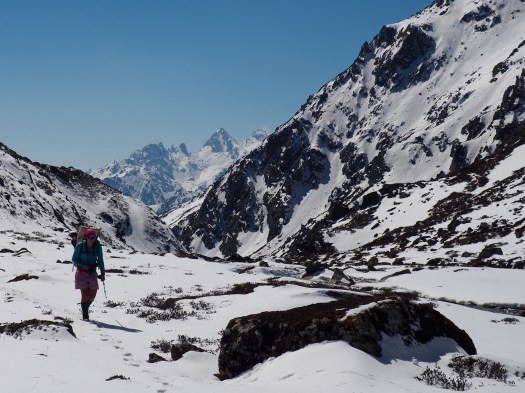
This circuit goes over a pass everyday, ranging from 15,400 to 16,500 feet (4,690 to 5,050 meters). This means you will be hiking slower than usual, due to the altitude, and the walking itself is physically taxing. This also means that you will have spectacular views of the Andes every single day. …
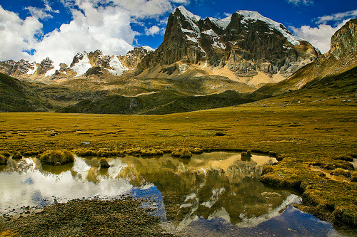
That adventure was the best hike of my life. If you want know more, click over to our Huayhuash information page.