Amon Barker, a director at Après Visuals.
Click PLAY or watch it on Vimeo.
(via Outside Online)

Best hikes, treks, tramps in the world.
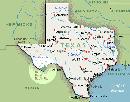
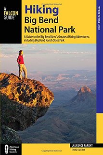
I’m planning to hike Big Bend for the first time. In January.
The Parks Service recommends:
• Desert Hikes
• Mountain Hikes
• River Hikes
As usual I’ll check with Rangers before deciding which hikes. Local information is critical in the desert. Backcountry Use Permits are required.
I’ll be mostly doing day hikes and one night tenting trips. Water is an issue, I understand, even in winter.
Unless you are walking the Rio Grande, of course.

Mitch Stevens of Southwest Discoveries posted 50 sites they like.
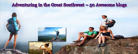
Though most of the 50 are focused on the S.W. USA, we are honoured to be included. 🙂
www.besthike.com
Besthike.com, founded by intrepid adventurer Rick McCharles, is one of the best hiking blogs on the web. It is a comprehensive listing of the world’s best hikes. Rick not only catalogs the planet’s best life changing hikes but provide descriptions. It is no surprise that Rick includes hikes in the southwest as some of the best hikes in the world. Most of the hikes he recommends are challenging multi-day adventures, such as the Zion Narrows for instance. Rick is continuing to research the best hikes on earth, calling his website a “work in progress.”
I’m planning a trip to Nevada, Arizona and New Mexico right now. This list is a great resource.
Cam Honan:
Last month I hiked the length of Badlands National Park from Ben Reifel Visitor Center to White River Visitor Center. To the best of my knowledge, it was the first time that such a traverse had been completed. …
Distance: 90 miles approx.
Time: 5 days
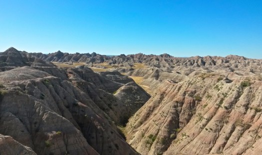
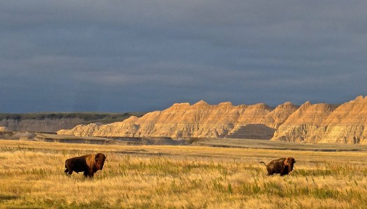
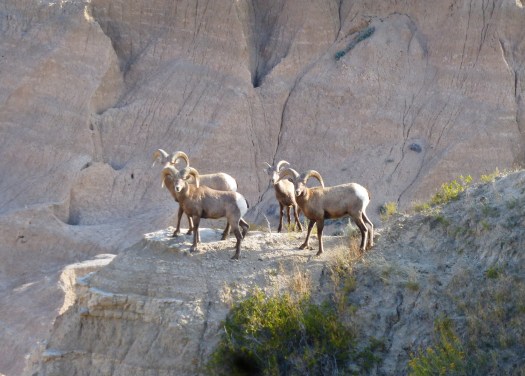
Read the excellent trip report – Badlands Traverse – Trip Report
GearJunkie:
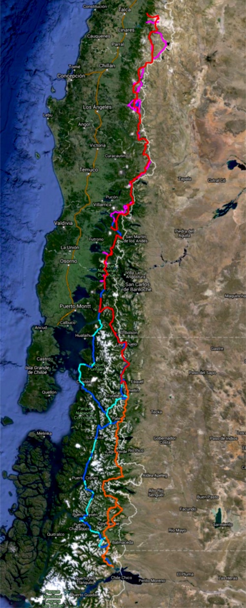
The Greater Patagonian Trail (GPT) is 1,300 miles long and counting. It is a growing network of backroads and rutted trails stitched together to form an enormous route across South America, and almost nobody knows about it.
That’s because it’s been built quietly, the entire route put together by one couple who hope to share a love of hiking with the world.
At 1,300 Miles, Remote ‘GPT’ Is Longest Trail In South America
I met Swiss-German hiker and explorer Jan Dudeck and his Chilean wife Meylin Ubilla last January. And hope to get back to Patagonia again in 2017.

by site editor Rick McCharles
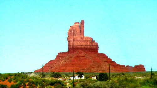
Am I just being defensive, or is this desert monument flipping me the bird?
It’s taken decades for the National Park Service (NPS) to purchase the land needed to build an uninterrupted hiking experience through Santa Monica Mountains National Recreation Area. However, it’s now possible for Southern Californians to hike 67 complete mountainous miles across the range on the Backbone Trail, according to the L.A. Times. …
If you are interested in hiking the trail, as this writer is, you can learn more about the process at the National Park Service website. …
The Santa Monica Mountains’ 67-Mile ‘Backbone’ Trail Is Finally Complete

My last day in Chile I was lucky enough to meet up with Jan Dudeck and his partner at the Santiago bus station.
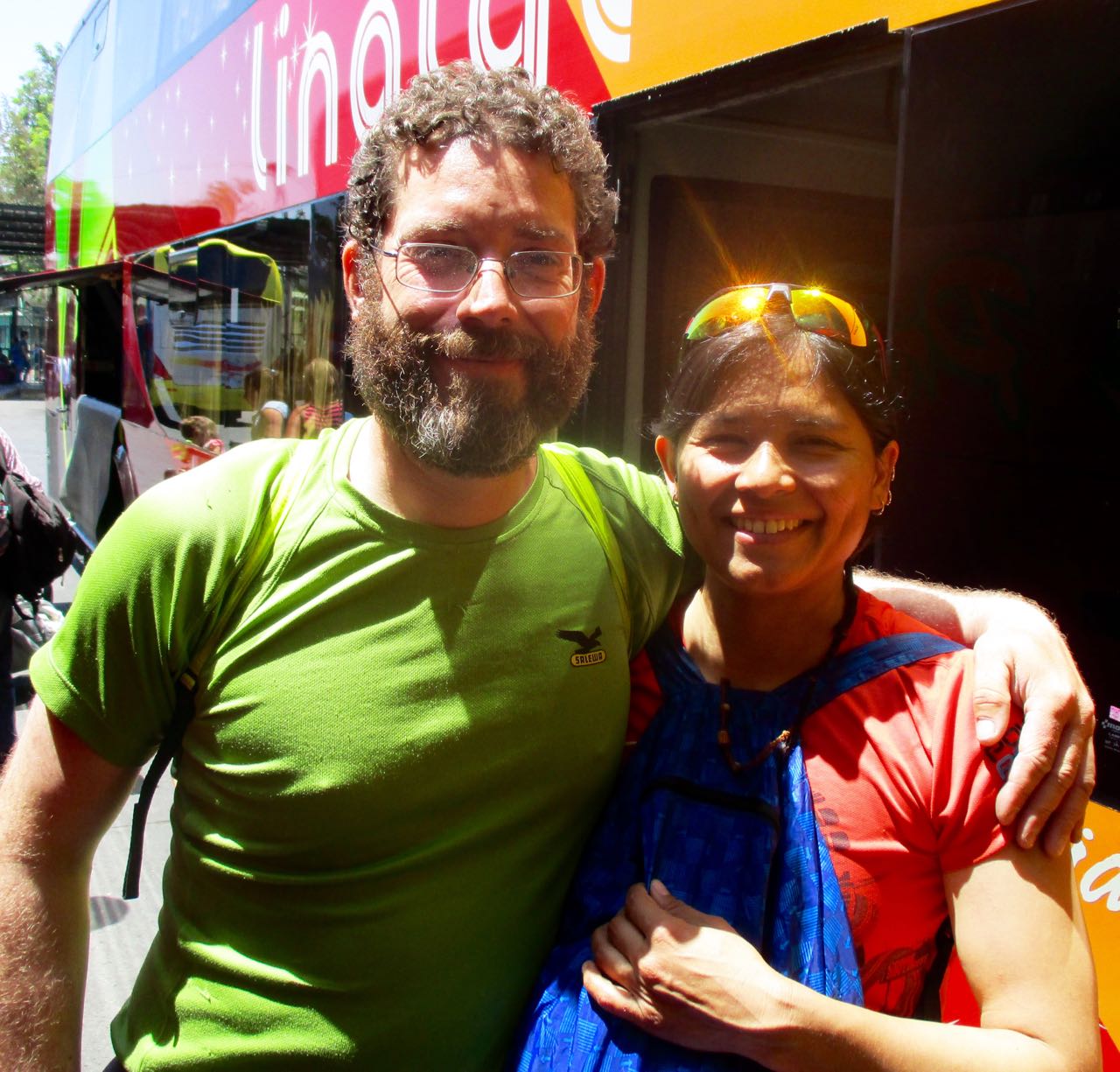
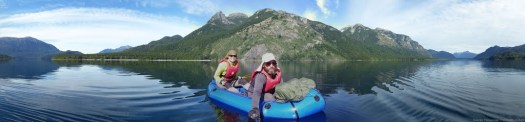
We carbo-loaded on ice cream while I got a personal update on what happened on this their 3rd season on the long distance hike. Carrying an Alpacka packraft on sections.
Once back in Europe, Jan will be updating the wikiexplora page with new data. New alternative routes.
The Greater Patagonian is not an official trail but rather 1500km or more of connected best routes in Chile and Argentina. You’ll be lost for sure unless you have KMZ and GPX files downloaded from wikiexplora.
As they research possible new options Jan actually starts with cached Google Earth images. Then looks for the faint trails he sees there to mark waypoints on their GPS. They don’t bother carrying heavy topo maps.
I tried and failed on section 1 of the Greater Patagonian in January. But am very tempted to go back next Jan/Feb to try other sections.
trip report by site editor Rick McCharles
day 0 | 1 | 2 | 3 | 4 | 5 | Traverse info page
Upper Estero Mocho > Laguna Avutardas
Lonely Planet recommended Upper Estero Mocho for camping … but it isn’t a particularly good site. The water source was standing pools.

We would have been better to camp higher for better water.
Weather continued perfect.

50km of 81 total. We hoped for BIG mileage today as the going was easier.

Laguna Azul, out first big lake of the trip.

The Brazilians had never seen snow in person until this trip.


Lunch vista.

We stopped at the lake, as well.

Victor – somehow – lost one of his sandals there. By this point both the guys had switched over from their hiking boots (too small) for sandals.
Victor was forced to put his boots back on despite blisters.

… Or was he?
Instead Victor tried hiking in several pairs of socks with the boot inserts.

I can’t recall ever hiking with anyone using that system. 🙂
The next section was intensely beautiful.


I hoped this lizard would ride along and help me chase away horseflies.

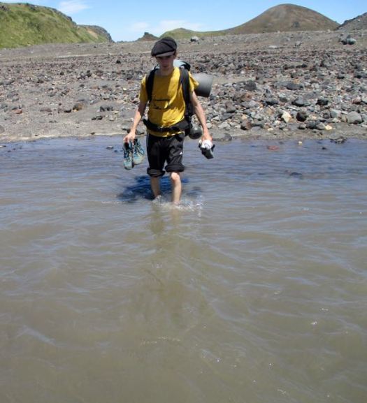
Our only river crossing.
We bypassed Laguna Blanca.

WOW!


This was my favourite section of all. The sky amazing.

Finally we began dropping back down into the trees.


We camped at Laguna Avutardas making this day 25km or more, double the recommended Lonely Planet distance.

There were too many cows crapping in the lake for my liking.

Again I walked back for better water.
This curious calf came to visit. We again were again hiding out in our tents to frustrate horseflies.