
My last day in Chile I was lucky enough to meet up with Jan Dudeck and his partner at the Santiago bus station.
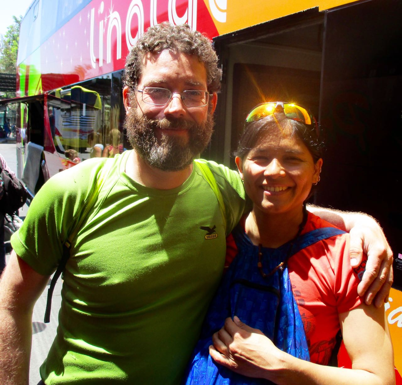
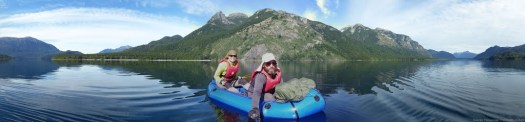
We carbo-loaded on ice cream while I got a personal update on what happened on this their 3rd season on the long distance hike. Carrying an Alpacka packraft on sections.
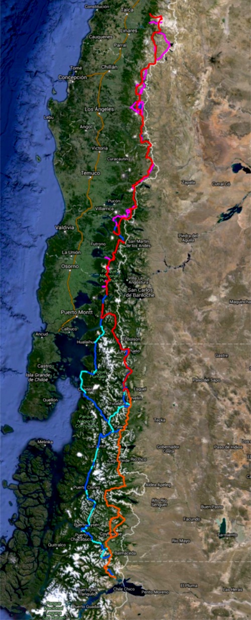
Once back in Europe, Jan will be updating the wikiexplora page with new data. New alternative routes.
The Greater Patagonian is not an official trail but rather 1500km or more of connected best routes in Chile and Argentina. You’ll be lost for sure unless you have KMZ and GPX files downloaded from wikiexplora.
As they research possible new options Jan actually starts with cached Google Earth images. Then looks for the faint trails he sees there to mark waypoints on their GPS. They don’t bother carrying heavy topo maps.
I tried and failed on section 1 of the Greater Patagonian in January. But am very tempted to go back next Jan/Feb to try other sections.

Would love to hear about how they use their GPS, battery life, support etc.
They are recharging with solar.
Thanks. That’s one for the “box of future walks” (& paddles.)