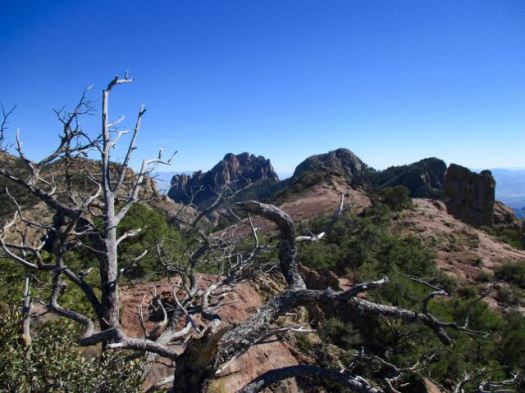
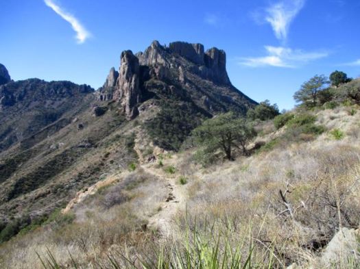
hiking the Gila Wilderness, New Mexico

trip report by site editor Rick McCharles

You’ve heard of Gila Cliff Dwellings National Monument.

It’s adjacent to the Gila Wilderness.
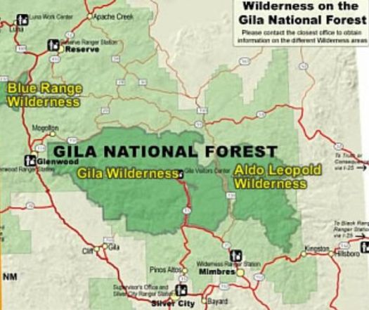
600px-gila-aldo_leopold_wilderness

Gila Wilderness was designated the world’s first wilderness area on June 3, 1924. … part of New Mexico’s Gila National Forest. …

The Mogollon Mountains traverse an arc across the wilderness. The tallest peak within this range, Whitewater Baldy at 10,895 ft (3,321 m) …

I headed for the most popular Baldy trailheadCrest Trail #182.

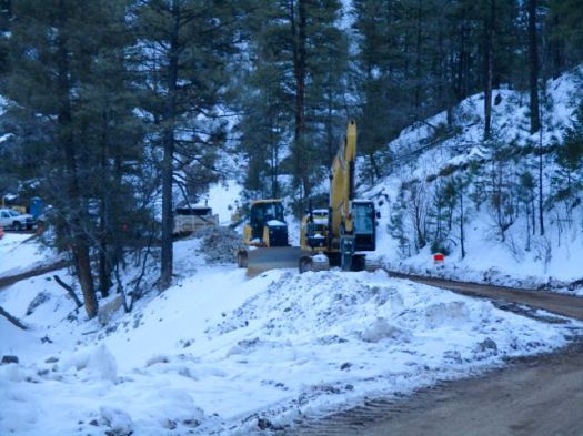
I never made it due to mountain road improvements January 2017. ROAD CLOSED.
img_3733

So I read some of the Peakbagger trip reports instead.

The consensus was not good: bad roads, snow into July, forest fire recovery sections, hunters.  It will not go on our list of the best hikes in North America.

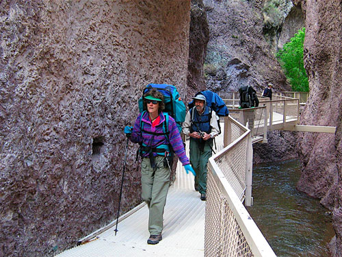
The most popular hike in Gila Wilderness is the Catwalk – “… a one-mile trail suspended above a rushing stream in a gorge only a few feet wide.”

It had been rebuilt over a period of 2 years costing over $4.4 million dollars. And opened again in 2016.

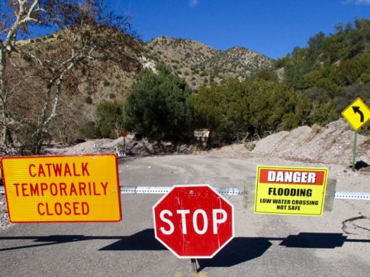
I’d been advised by a Ranger that only the catwalk part of the trail was open. Hikers often continue on to #207. I would have wild camped if it had been open.

Sadly, that Ranger was wrong. It was all closed due to flooding.
img_3732

Still, the Catwalk does look very cool.
catwalk

The 1.1-mile Catwalk National Recreation Trail winds through the canyon’s steep, pink walls of volcanic rock, following the path of a pipeline built in the early 1890s to provide water and electricity for the mining town of Graham.   …

Desert USA

LESSON LEARNED — Before driving out to hike the Gila Wilderness, phone first to be sure your trail is open.
 

hiking White Sands National Monument

New Mexico

trip report by site editor Rick McCharles

Length: 2 miles (3.5 km), round-trip

The White Sands National Monument … at an elevation of 4,235 feet (1,291 m). …

It is the largest gypsum dune field in the world. …

The Monument is completely surrounded by military installations (White Sands Missile Range and Holloman Air Force Base) and has always had an uneasy relationship with the military …

Located on the northernmost boundaries of White Sands Missile Range, the Trinity Site can be found, where the first atom bomb was detonated. …

img_3676
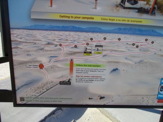
Backcountry Camping Trail map

There are non-stop warnings about dehydration.

img_3679

Let’s go.

img_3681

I wore these lightweight camp shoes. They turned out to be perfect for the soft sand.

img_3682

It was VERY windy.

img_3683

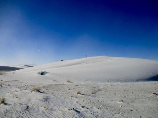
Deserts are always interesting.

img_3685 img_3684

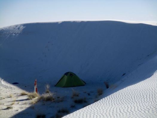
There are 10 backcountry campsites available.

img_3688

details on Backcountry Camping

Following my hike, I joined the sunset dunes walk led by a Ranger.

img_3695

It was very interesting and entertaining. This entire structure was created by that plant.

img_3697

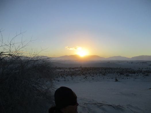
Sunsets are wonderful in the desert.

img_3698

The Ranger noted that any President could remove National Monument status. Potentially this land could be given to the military. 😦

details – Backcountry Camping Trail

There’s a longer (5 mile) Dunes hike called the Alkali Flat Trail. If you want more.

Last Chance Canyon, New Mexico

trip report by site editor Rick McCharles

Story goes that ranchers in 1881 got lost in the deserts. Had no water. With their horses failing they spotted the limestone walls of one more canyon. This would be their last chance.

My guidebook author called this one of my favourite spots in all of New Mexico.

It has plenty of water year round. A rarity in this part of the world.

I started late in the afternoon as it was only 2.7 miles to the recommended campsites.

Last Chance Canyon, New Mexico

The light gorgeous.

Last Chance Canyon, New Mexico Last Chance Canyon, New Mexico Last Chance Canyon, New Mexico Last Chance Canyon, New Mexico

Here’s that water that saved the ranchers.

Last Chance Canyon, New Mexico

Obviously this canyon floods at times.

Last Chance Canyon, New Mexico I checked out the campsites. Too exposed. It was very, very windy.

Instead I hunkered down in this more sheltered spot.

Last Chance Canyon, New Mexico

Having forgotten my bear bag rope, I instead tossed my food bag up into a tree attached to a loose branch. Ingenious improvisation I thought … at the time.

The wind blew it down during the night. Happily my food stayed undisturbed lying on the ground.

Next morning I had the option to try to loop to famed Sitting Bull Falls.

But to save time I opted to backtrack from here, visiting  the falls via the front door.

Sitting Bull Falls, New Mexico

As you probably would guess, the Sioux medicine man Sitting Bull never visited New Mexico.

This is a great hike. Highly recommended. We’ve added it to our list of best hikes in North America.


Rattlesnake Canyon, New Mexico

trip report by site editor Rick McCharles

After visiting Carlsbad Caverns I dayhiked nearby Rattlesnake Canyon.

Rattlesnake Canyon, New Mexico

It’s well loved for Spring wildflowers and a variety of cactus. But I was there in January. Not many flowers.

You immediately drop down into a small drainage following cairns. There’s no signage.

Rattlesnake Canyon, New Mexico

Up the other side the trail is well defined.

Rattlesnake Canyon, New Mexico

Rattlesnake Canyon, New Mexico

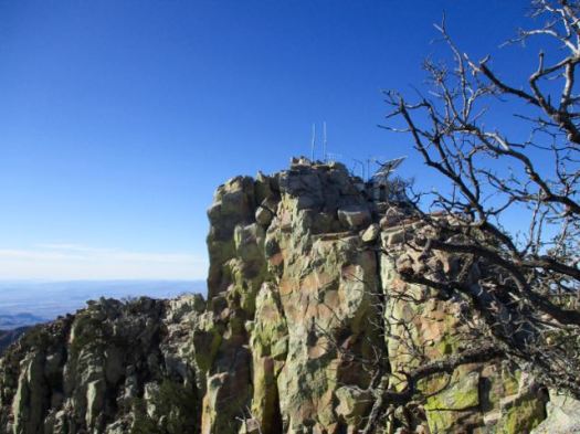
I love the desert. And it was a beautiful day … though very windy.
Rattlesnake Canyon, New Mexico Rattlesnake Canyon, New Mexico Rattlesnake Canyon, New Mexico Rattlesnake Canyon, New Mexico

You can go 3 miles out, 3 miles back. Or try to loop via other canyons. Instead I went out about a mile … enjoyed some solitude … then hustled back to my vehicle.

The “unfriendly vegetation” was too often snagging on my favourite hiking pants. It was difficult to avoid.

Rattlesnake Canyon, New Mexico

In the flat desert it’s easy to get lost. Even here close to Carlsbad Caverns and many roads. In 1999 hikers Raffi Kodikian and David Coughlin were lost in Rattlesnake Canyon. Coughlin died.

related – trip report by 160k- Rattlesnake Canyon

Guadalupe Mountains TX – Bowl Loop

trip report by site editor Rick McCharles

Guadalupe Mountains National Park

  • 8.5 miles
  • 2380ft elevation gain
  • side trip to climb Hunter’s Peak

The Parks recommends a (strenuous) 6-8 hours. In a rush to finish before dark, I did it in 4.5 hours.

Trailhead is the Pine Springs Visitor Center. I checked in with a Ranger on trail conditions. She neglected to tell me there was a LOT of snow up in the Bowl.

My guidebook recommended to climb up via the Tejas trail.

Bowl Loop, Guadalupe Mountains TX Bowl Loop, Guadalupe Mountains TX Bowl Loop, Guadalupe Mountains TX

A very easy way gain all that altitude. Very well maintained.

Bowl Loop, Guadalupe Mountains TX

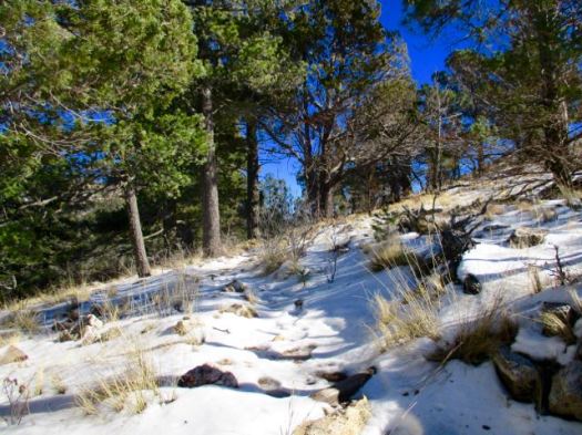
Up top in the bowl it looked like the Canadian winter I’d fled.

Bowl Loop, Guadalupe Mountains TX

I met only one other hiker. She too was surprised with the snow.

It’s a different ecosystem up here.

A beautiful coniferous forest of pine and Douglas fir … awaits those who are willing to hike up 2500 feet from the Chihuahuan desert below.

Bowl Loop, Guadalupe Mountains TX

Close to the turnoff for Hunter’s Peak I saw a herd of mule deer. I’m not sure why they are so high this time of year.

Bowl Loop, Guadalupe Mountains TX

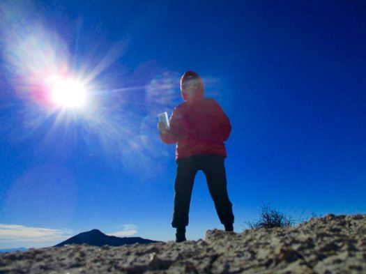
Behind me is the highest point in Texas – Guadalupe Peak. I left a Summit Stone.

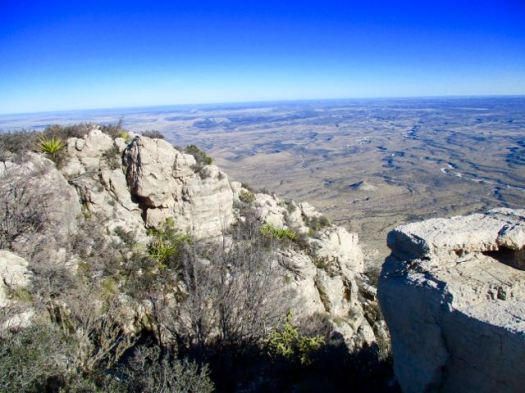
Great vistas.

Bowl Loop, Guadalupe Mountains TX
flat desert below

From there I needed to either backtrack. Or finish the loop.

Signage in Guadalupe Mountains National Park is not nearly as good as in Big Bend. The free Parks trail map is not detailed enough to do many of the hikes it recommends. Get a better map.

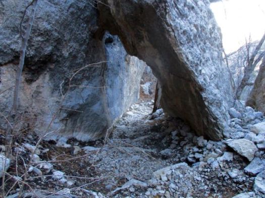
Happily I did find the sign to Bear Canyon Trail. The descent was much different — and much steeper — than how I got up.

water pipe
water pipe

I saw some strange wreckage. An airplane crash, I assume.

Bowl Loop, Guadalupe Mountains TX

It was much quicker down than up.

Bowl Loop, Guadalupe Mountains TX

In fact, for most people it’s better to climb on Bear Canyon, descend on Tejas. Easier on the knees. We’ve added The Bowl to our list of best hikes in North America.

related – Backpacker – Guadalupe Mountains National Park: The Bowl

South Rim Loop, Big Bend TX

trip report by site editor Rick McCharles

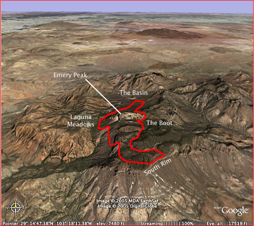
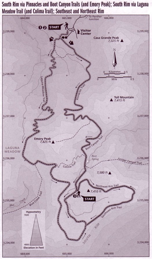
I feel the best hike in Big Bend National Park for most people is one of the South Rim Loop options. You can do those as long day hikes, but I’d recommend one night in a tent on the Rim.

south-rim-aerial

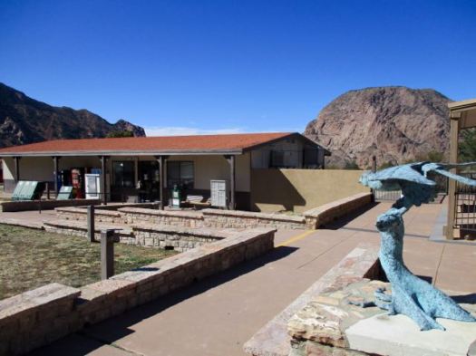
Pick up your camping permit ($12 / night 2017) at the Ranger station near the Chisos Mountain Lodge. There’s a good store for last minute provisions.

img_3540

The trailhead is right there. I started up the Pinnacles Trail.

img_3541

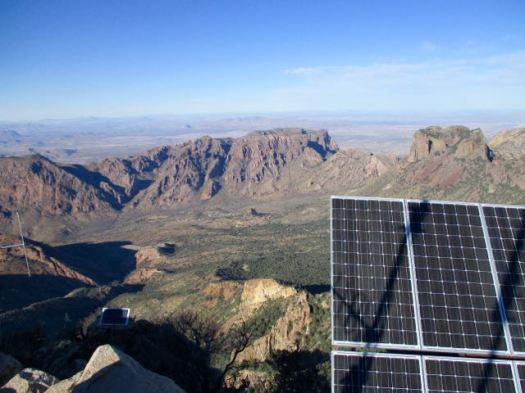
Everywhere is scenic up this high. Great vistas in every direction.

img_3542

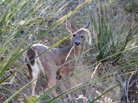
A hiker showed me a photo of a bear he’d seen earlier in the morning. Cougar and bear sightings are frequent. They are confined to a small geographic area.

Cougars hunt the Carmen Mountain Whitetail. For the deer it’s either cougars in the National Park or hunters outside the Park.

img_3546

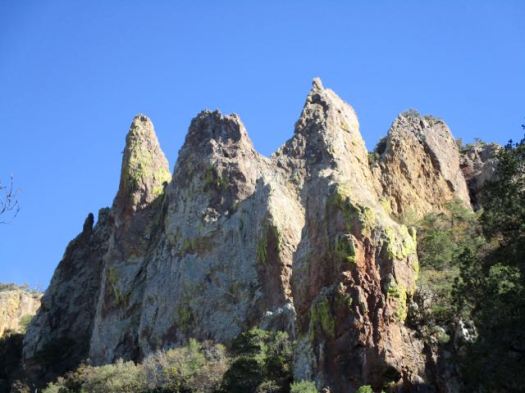
Are these the Pinnacles?

img_3548

Weather was good so I opted for the Emory Peak side trip. It’s the highest mountain in the Park.

Emory is dangerous. A teenager fell 450 feet to his death in 1999. Many turn back at the final scramble to the summit.

For me it was FUN getting up.

img_3550

img_3552
atop Emory Peak

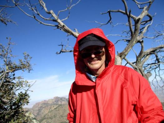
I left a Summit Stone. Enjoyed the vistas … though it was very windy.
img_3553

img_3555

img_3551

Down climbing is often more difficult. It is here.

Foolishly I’d not really paid any attention to my line on the way up. Several times I had to backtrack on the descent to find the safest route.

I picked up my pack on getting back to the Pinnacles Trail. Then carried on up the Boot Canyon Trail.

img_3559

I’ve never seen so many Bear Boxes before. As a result, Big Bend has very few problem bears.

It was late in the day. I needed to hurry to get to the South Rim if I wanted to set up my tent in daylight.

img_3564

img_3565

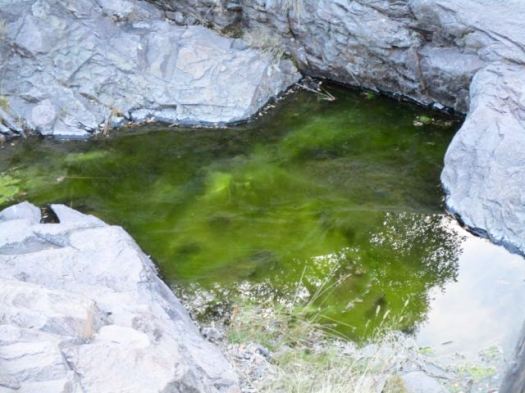
There are standing pools of water here. You don’t want to drink from them.

img_3566

I started with 3.5 litres of liquids.

Big Bend does an excellent job maintaining trails. #respect

img_3567

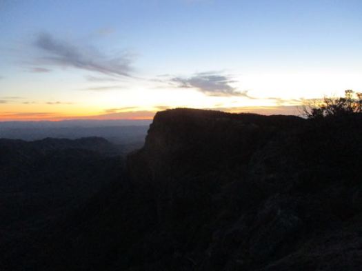
At last light I reached the most scenic part of the trip.

img_3573

img_3571

Here’s the vista from the S.E. Rim.

img_3574

In January it was very cold this high. And very windy. I had to cocoon in my sleeping bag to stay warm enough.

img_3576

I woke early next morning. The weather forecast was for rain. I hurried down over the Laguna Meadows Trail taking only about 2 hours to complete the loop.

Recommended.

south-rim-trail-map

related – trip report – Patrick Dearen 2007

Santa Elena Canyon, Big Bend TX

trip report by site editor Rick McCharles

Note: We were there Jan 2017. Accessibility may change depending on what happens with Trump’s border wall promise.

Santa Elena Canyon is the single most popular spot in Big Bend National Park. Everyone stops here, even those who don’t normally hike.

img_3532

The nature trail crosses Terlingua Creek, climbs several flights of ramps and stairs and then descends into the canyon along the Rio Grande. At this point the canyon walls loom over 1500 feet above the river below. …

In my haste to get over to the Canyon, I took off my shoes and waded Terlingua Creek.

img_3539

That turned out to be a mistake. Everyone else found a way to cross keeping their feet dry.

img_3534

img_3535

img_3536

img_3537

Nobody regrets taking this short hike.

And I did finally get a photo of a desert cottontail. Or is it a small jack rabbit?

img_3530

The best way to see the canyon is by raft or canoe. Local outfitters offer trips from one to three days in length when conditions allow, and river runners of intermediate or better skill level often go on their own. …

Visit Big Bend

Even better for me would be the difficult Mesa de Anguila hike along the canyon rim. Next time. 🙂

related – Texas GOP congressman slams Trump plan for border wall

“Building a wall is the most expensive and least effective way to secure the border,” Rep. Will Hurd (R-Tex.) said in a statement …

Boquillas Canyon, Big Bend TX

trip report by site editor Rick McCharles

Note: We were there Jan 2017. Accessibility may change depending on what happens with Trump’s border wall promise.

Boquillas town is actually the small village in Mexico that sits on the eastern side of Big Bend National Park. It’s where many tourists cross to hike in Mexico.

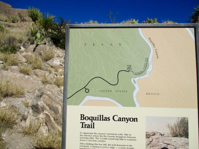
A guy I met in the hotsprings recommended the Boquillas Canyon day hike. It’s about 1.5 miles return on the American side.

Boquillas Canyon, Big Bend

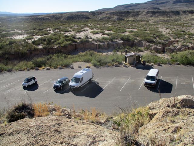
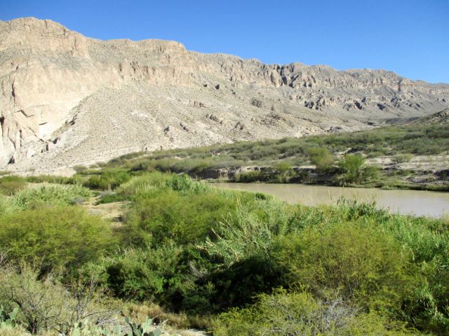
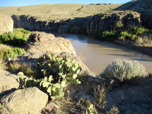
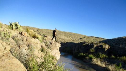
From the parking lot you climb up and over a bluff to walk alongside the muddy Rio Grande.

Boquillas Canyon, Big Bend Boquillas Canyon, Big Bend

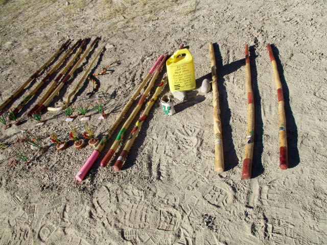
Supposedly these souvenirs on the beach ($6 each) were a fundraiser for the Boquillas school.

Boquillas Canyon, Big Bend

There was a donation box too for the Mexican fishermen who SING for tourists.

The cliff walls loom.

Boquillas Canyon, Big Bend

It is an interesting short hike.

Boquillas Canyon, Big Bend Boquillas Canyon, Big Bend

Boquillas canyon is not as steep or sheer as Santa Elena. But it is impressive.

Hot Springs Rim, Big Bend TX

trip report by site editor Rick McCharles

Note: We were there Jan 2017. Accessibility may change depending on what happens with Trump’s border wall promise.

One highlight of Big Bend National Park you should not miss are the Hot Springs.

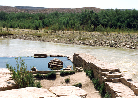
A reminder of the park’s past volcanic turmoil, the Langford Hot Springs (or just “hot springs”; everyone will know what you’re talking about) is a small, jacuzzi-sized pool of naturally occurring 105°F (41°C) water from deep below the earth. …

Edge of the Rio Grande

It’s a short walk from the parking lot. Bring a flashlight at night.

Even better is to hike the Hot Springs Rim trail first. Finishing with a dip.

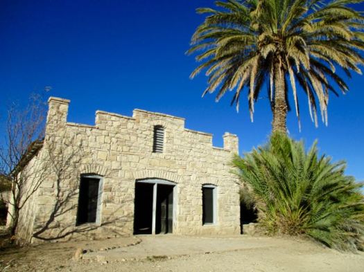
The trailhead features the amazingly well preserved buildings from the Livingston family days.

Hotsprings Trail, Big Bend

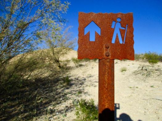
I started up the Hot Springs Trail.

Hotsprings Trail, Big Bend

Hotsprings Trail, Big Bend

Continued on to the Hot Springs Rim Trail high above the Rio Grande.

Hotsprings Trail, Big Bend

Hotsprings Trail, Big Bend

I left a Summit Stone at a nice viewpoint.

Hotsprings Trail, Big Bend

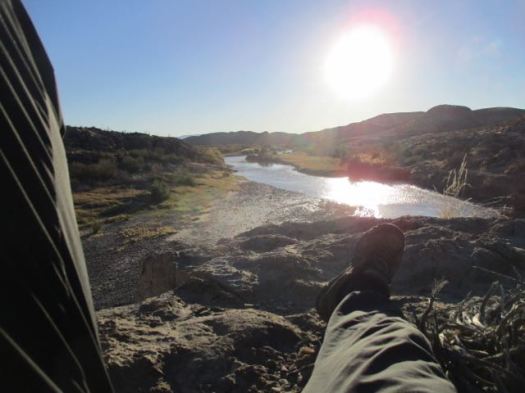
Relaxed there looking over the river into Mexico. Very tranquil.

Hotsprings Trail, Big Bend

I backtracked to the Hot Springs just in time for dusk. 🙂

This is the life.

Lost Mine Trail, Big Bend TX

trip report by site editor Rick McCharles

Very close to Chisos Basin Campground in Big Bend National Park is the super popular Lost Mine Trail.

  • 4.8 miles return
  • perhaps the best half day hike in the Park
  • starts at 5,650 feet, ends at a dramatic rocky ridge at 6,850 feet

On the way up you can look back to the campsiteLost Mine, Big Bend

Pretty views non-stop.

Lost Mine, Big Bend

Surprisingly large trees.

Lost Mine, Big Bend

This is heaven on a nice day.

Lost Mine, Big Bend

I left a Summit Stone atop this feature. You’ll need to scramble to find it.

Lost Mine, Big Bend

I didn’t spend much time at the end of the ridge. It was too windy.

Lost Mine, Big Bend

There is no Lost Mine I’m afraid. That’s an old legend.
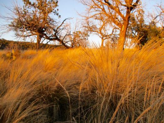
But I do highly recommend this hike. Weather permitting.