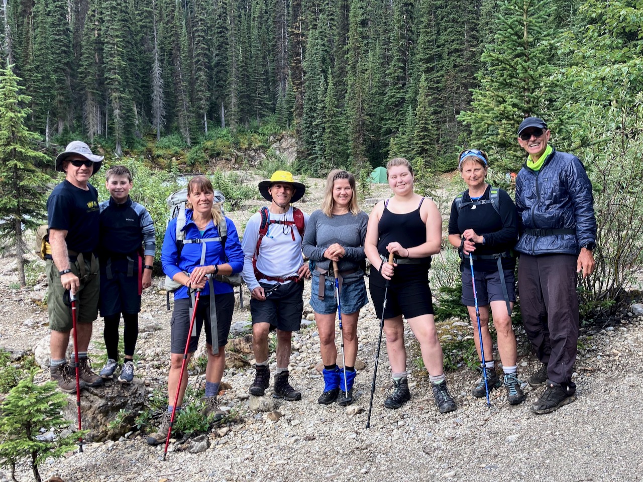
Trip report by BestHike editor Rick McCharles.
Yoho Lake was the site of the original Alpine Club of Canada camp in 1906.
Early alpinists climbed Mt Wapta (south) and Michaels Peak (north).

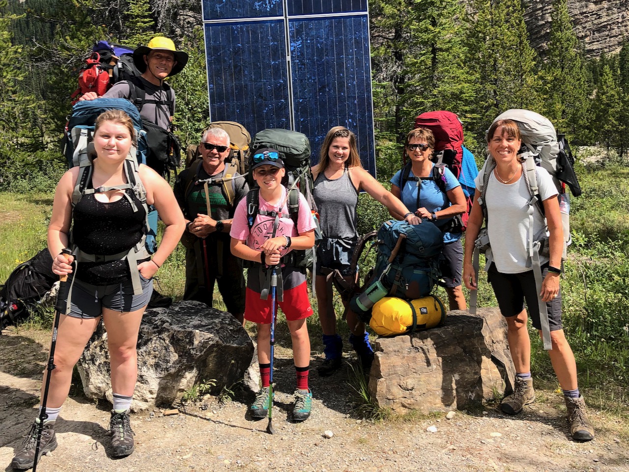
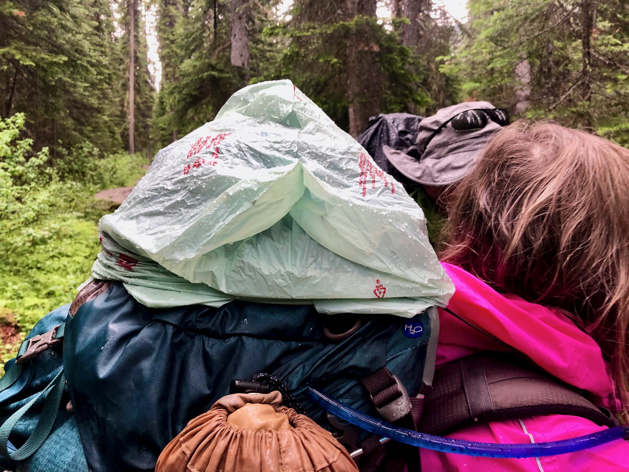
Returning from our Twin Falls hike, we resupplied at the vehicles parked at the Takakkaw Falls trailhead.
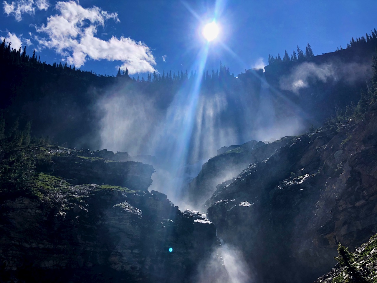
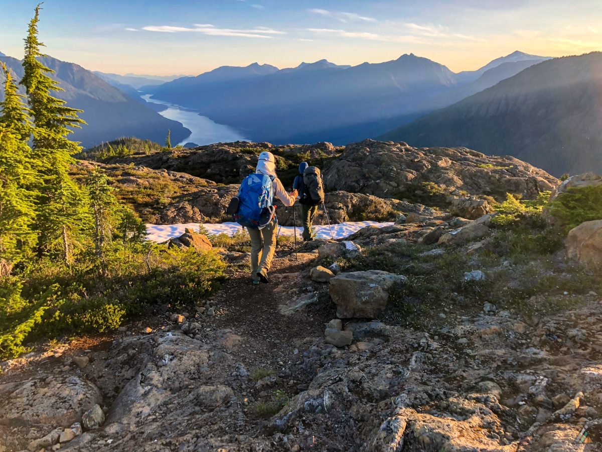
Then started with great views over to Takakkaw , the second highest Falls in Canada.

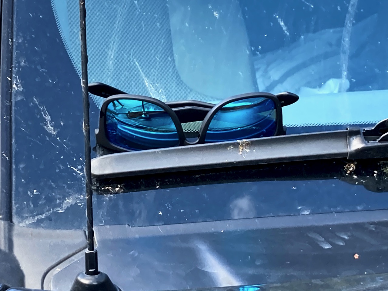
One of our group forgot his sunglasses at the lookout.
ET and I asked some hikers going the other direction to see if they could find them. And it worked! We found them on ET’s vehicle 2 days later.
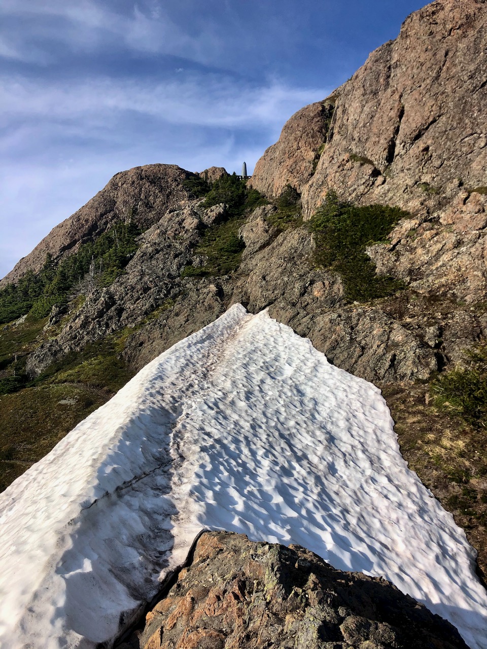
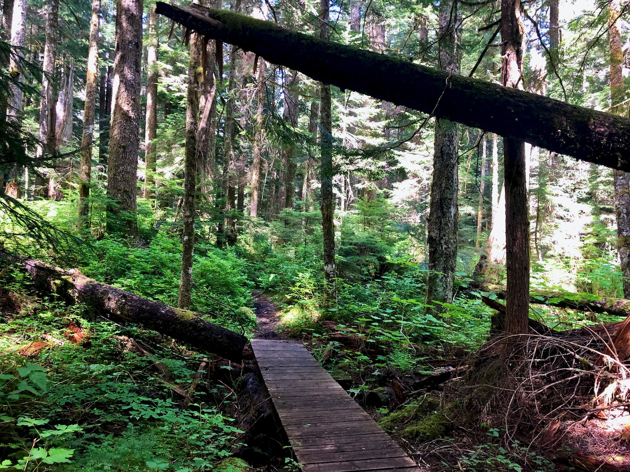
We climbed steadily up to the lake on a route that many switchbacks.
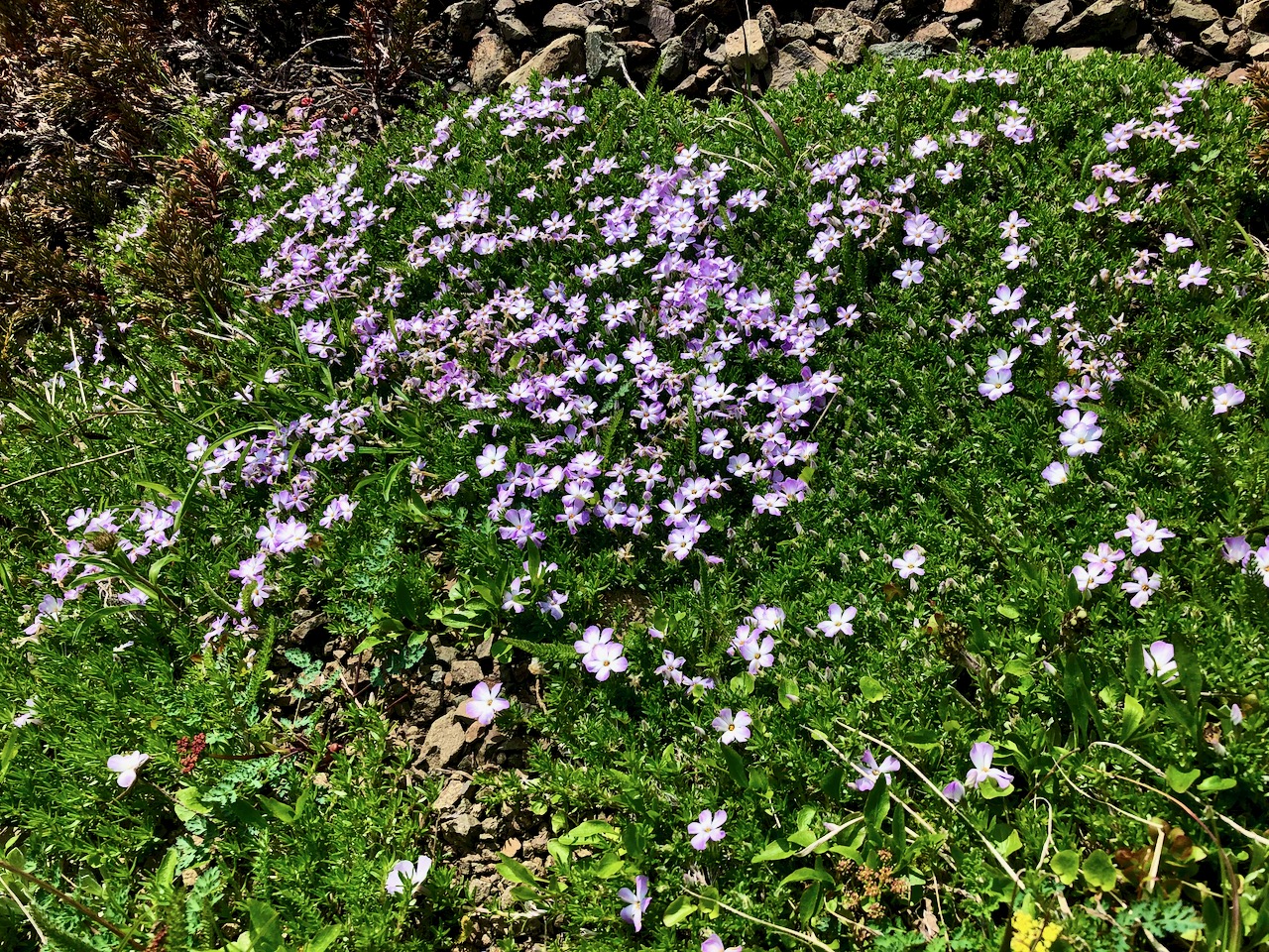
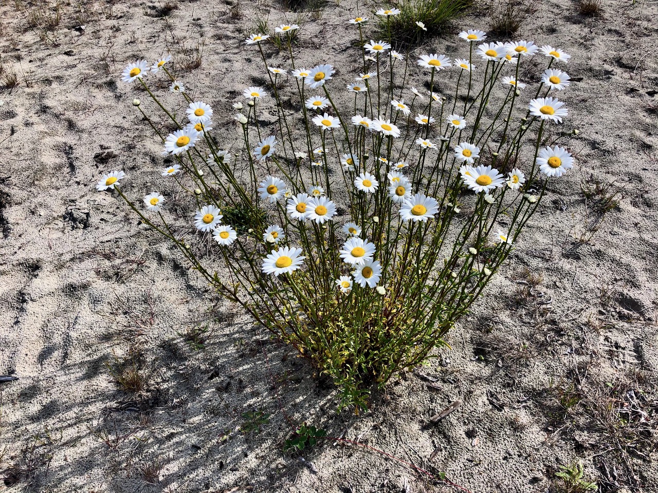
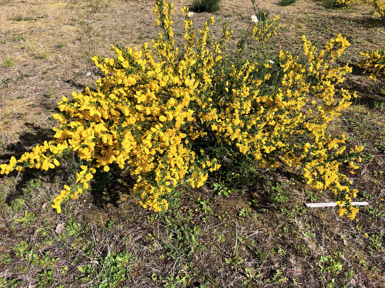
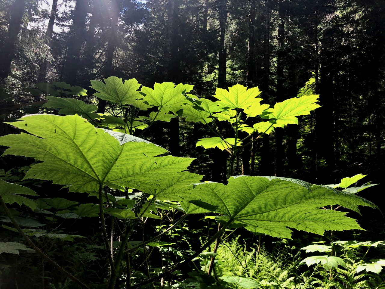
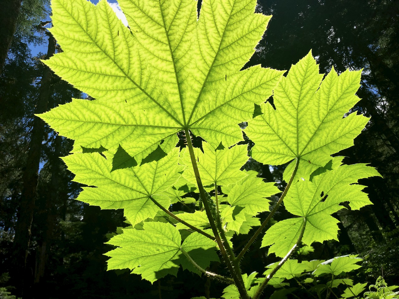
More wildflowers here than on the Twin Falls side.

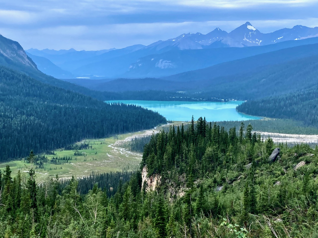
You catch a glimpse en route of Hidden Lake.

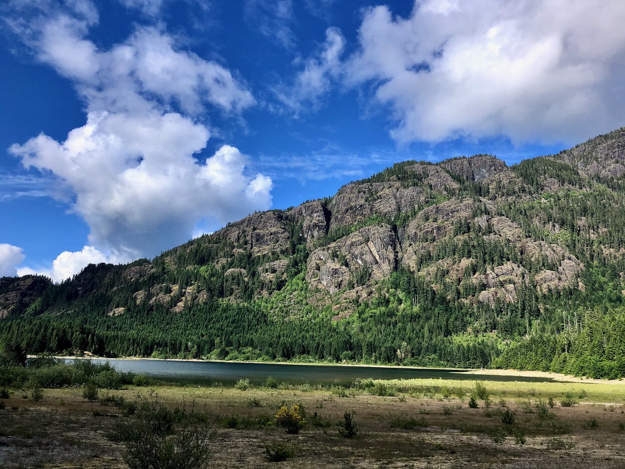
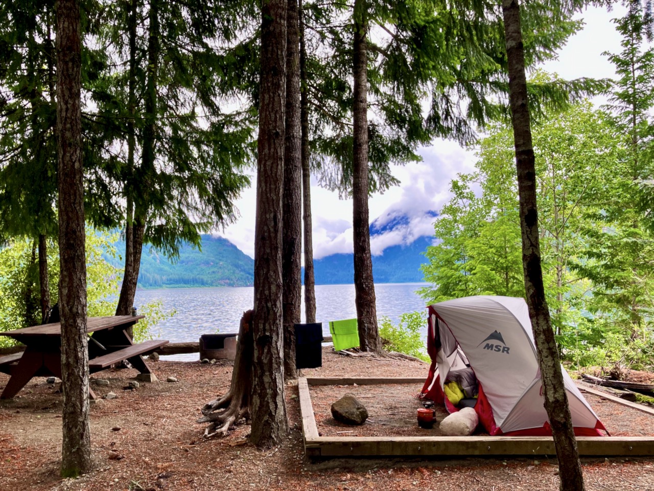
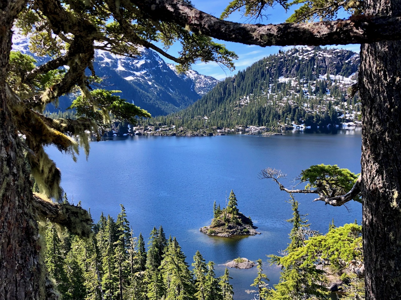
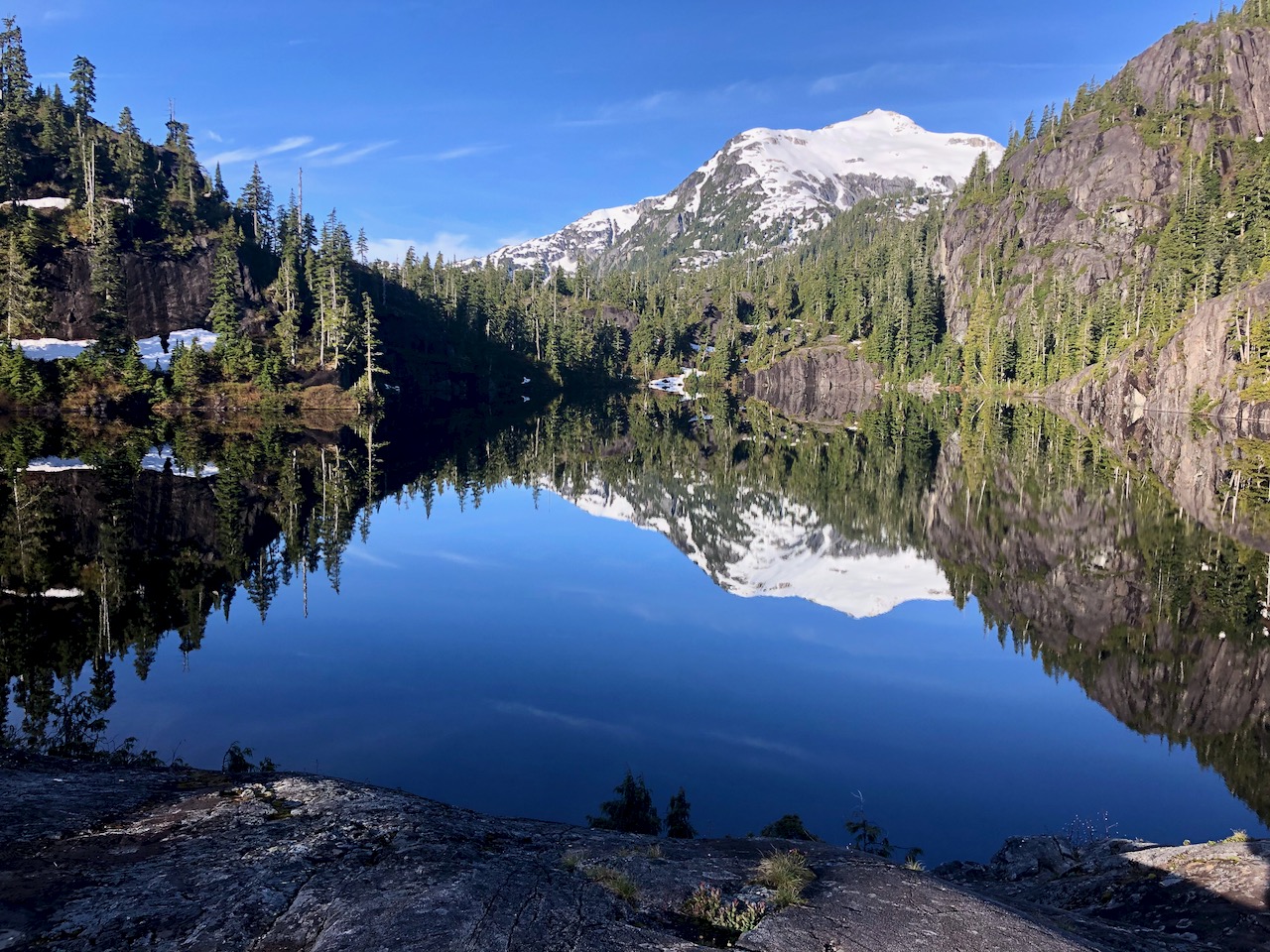
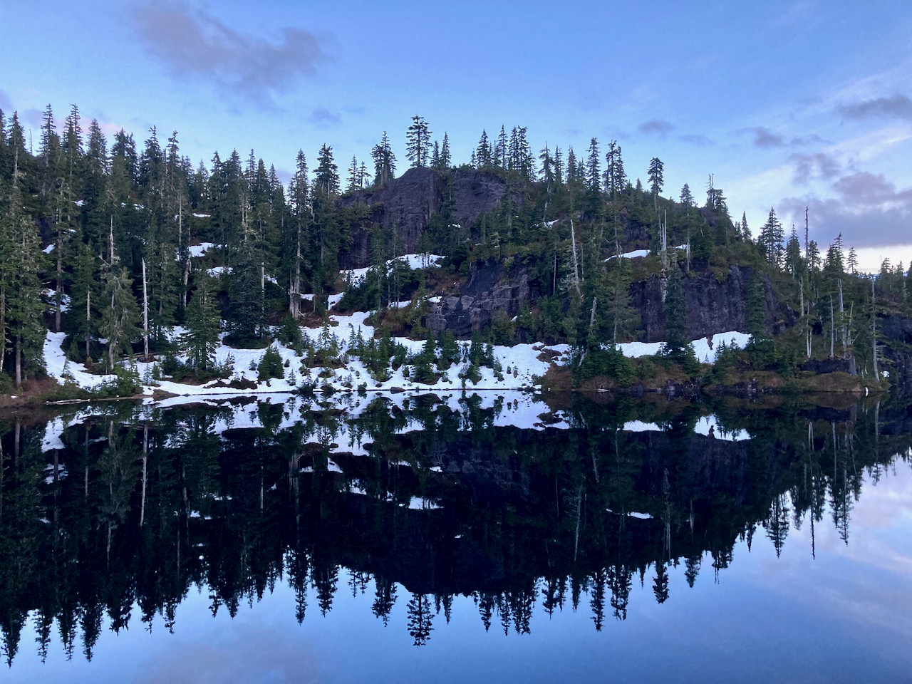
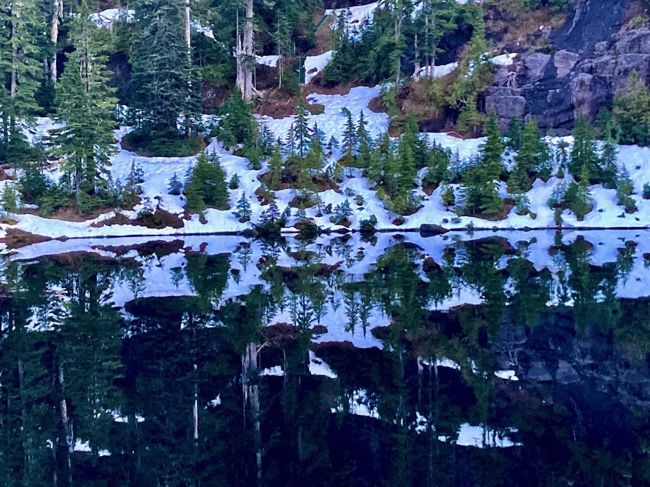
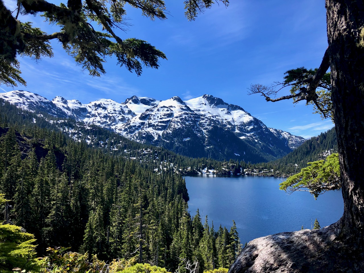
Here’s a first look at Yoho lake.
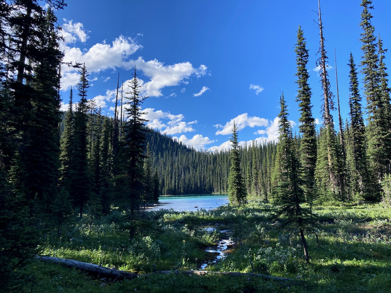
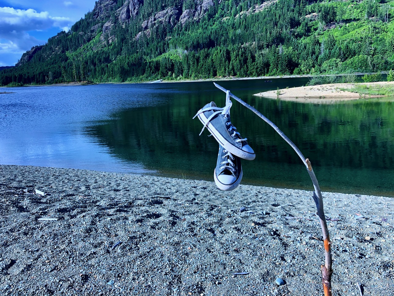
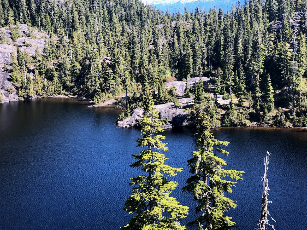
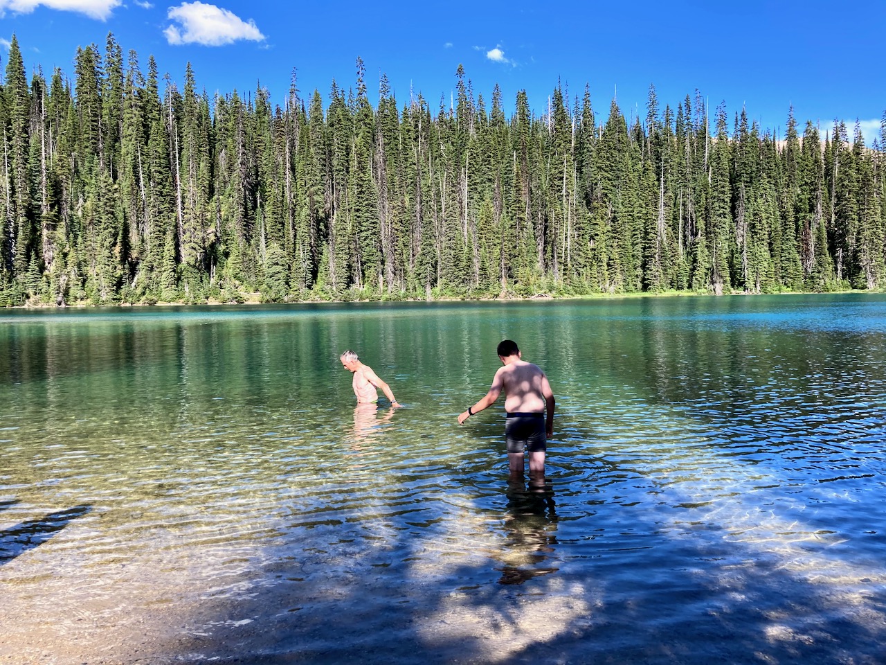
Yoho lake is deep emerald green, more so than Emerald lake.
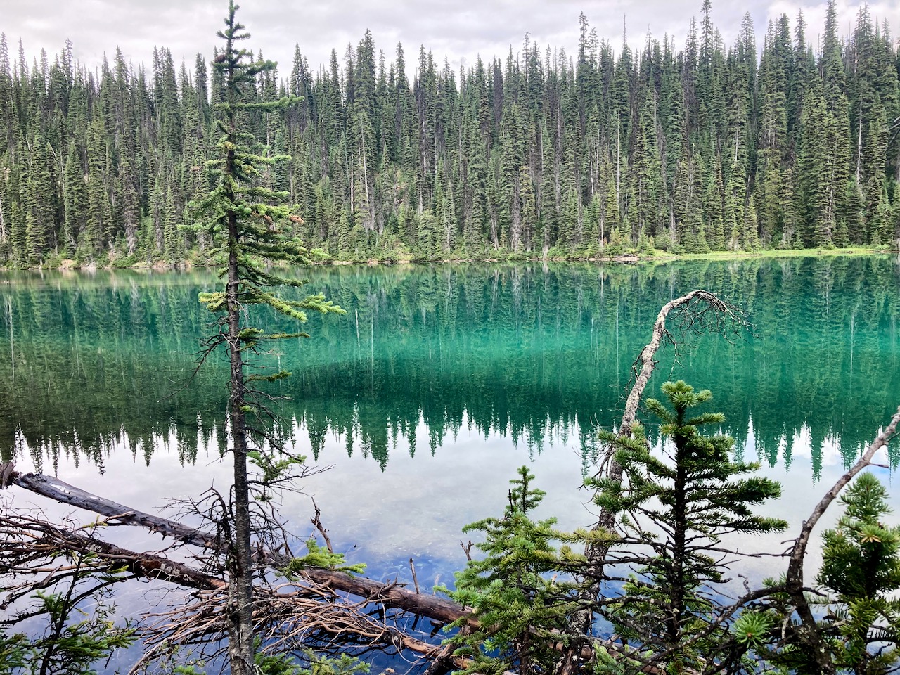
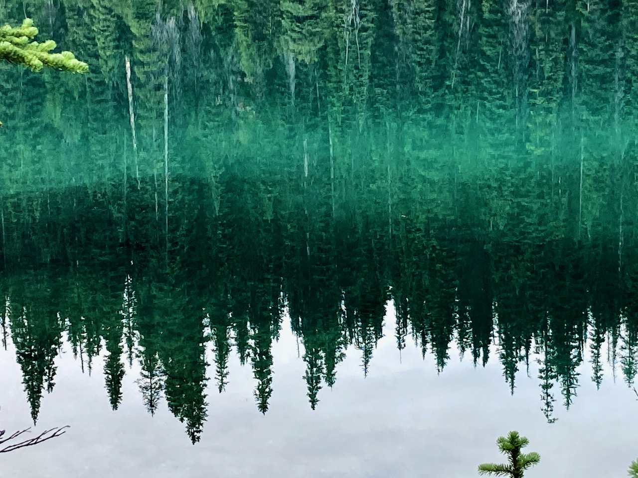
You’d have to be CRAZY to swim.
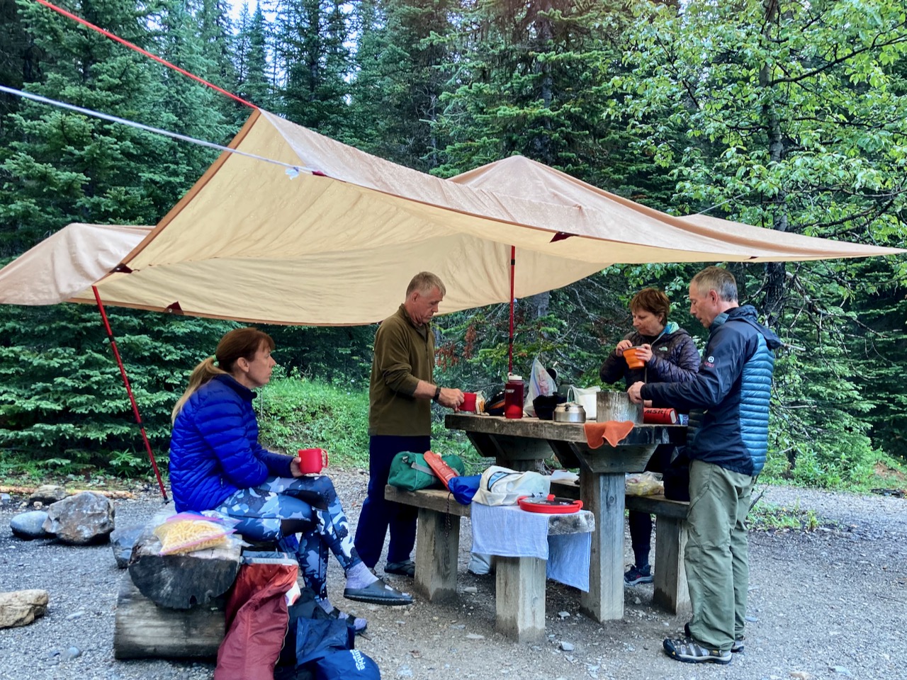
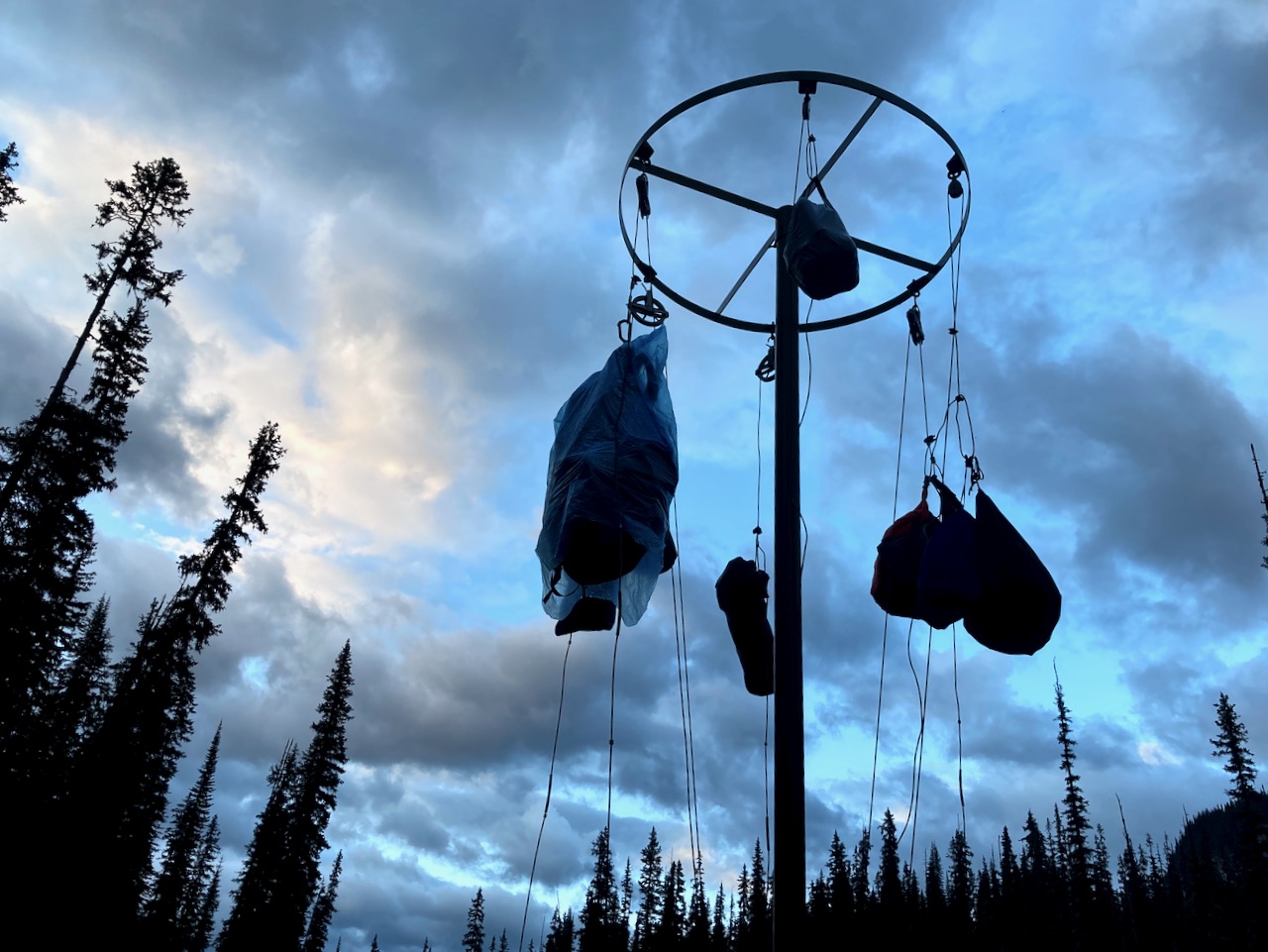
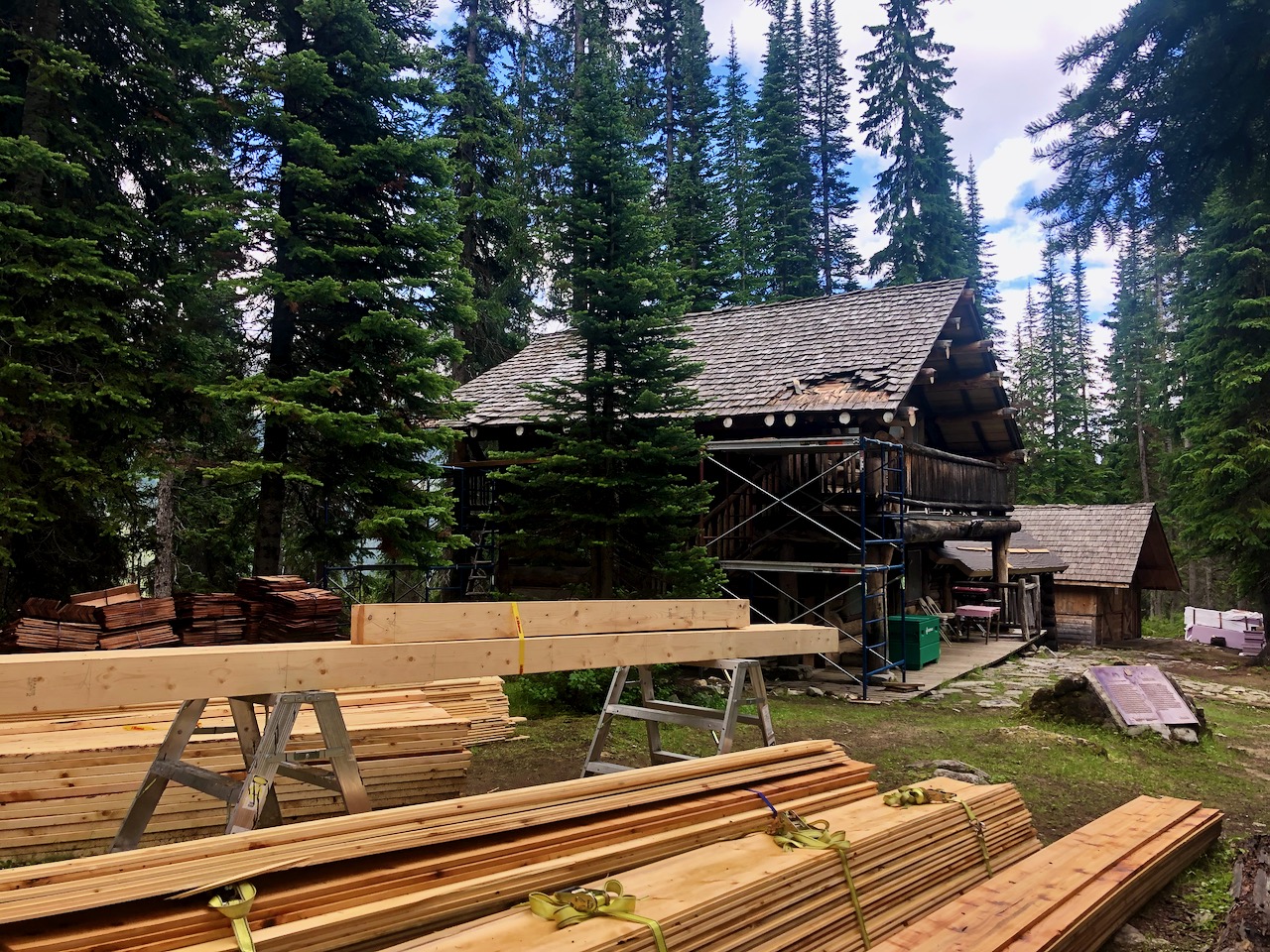
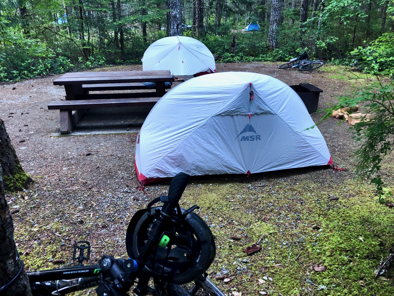
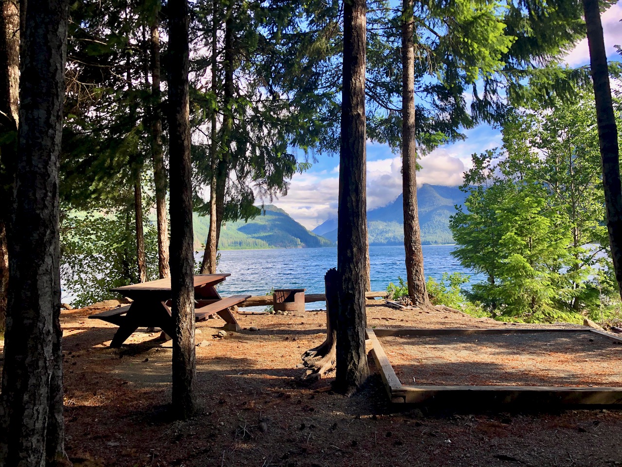
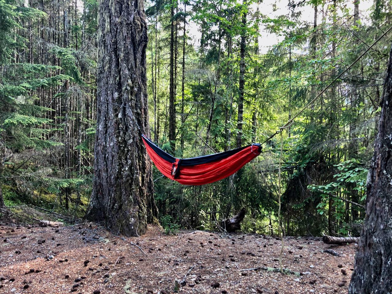
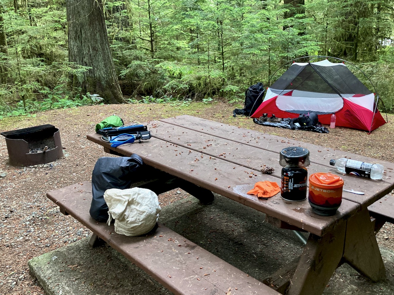
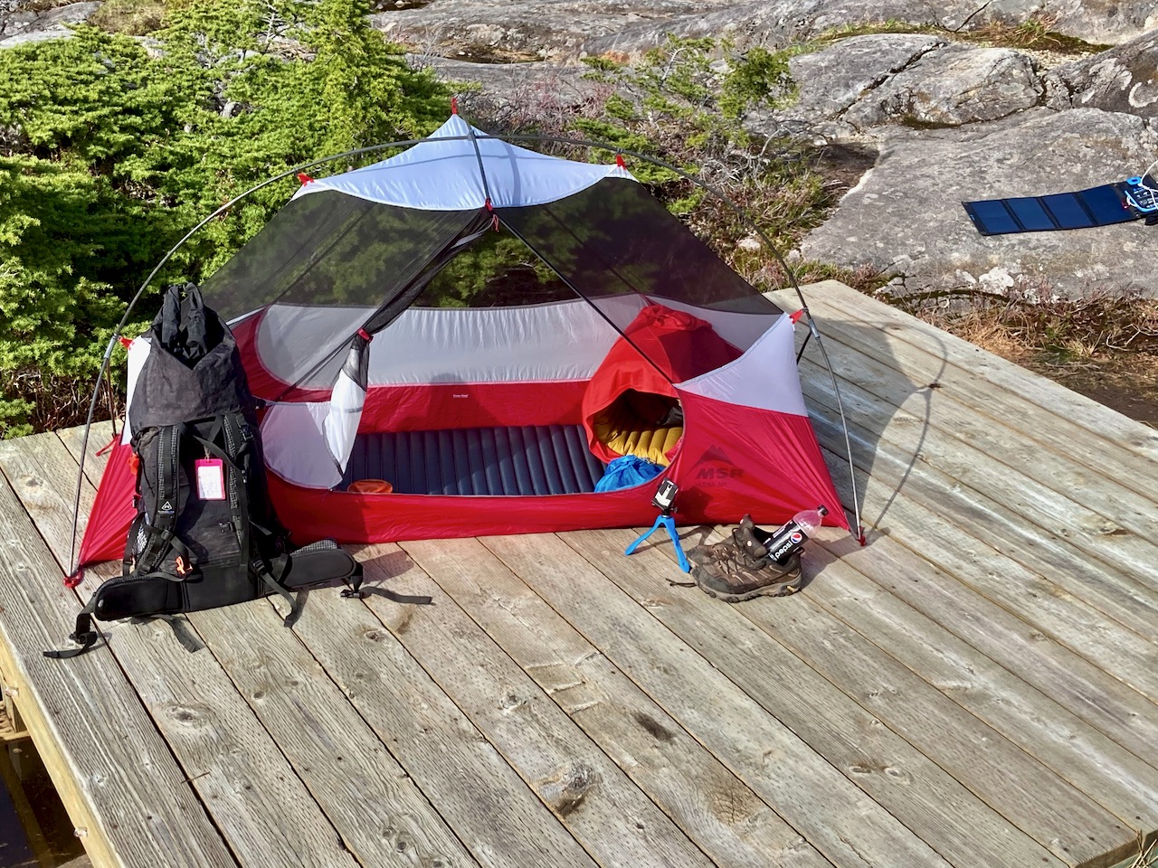
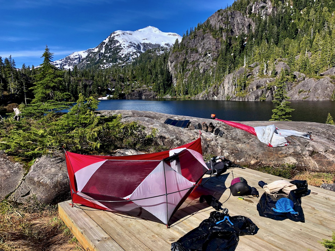
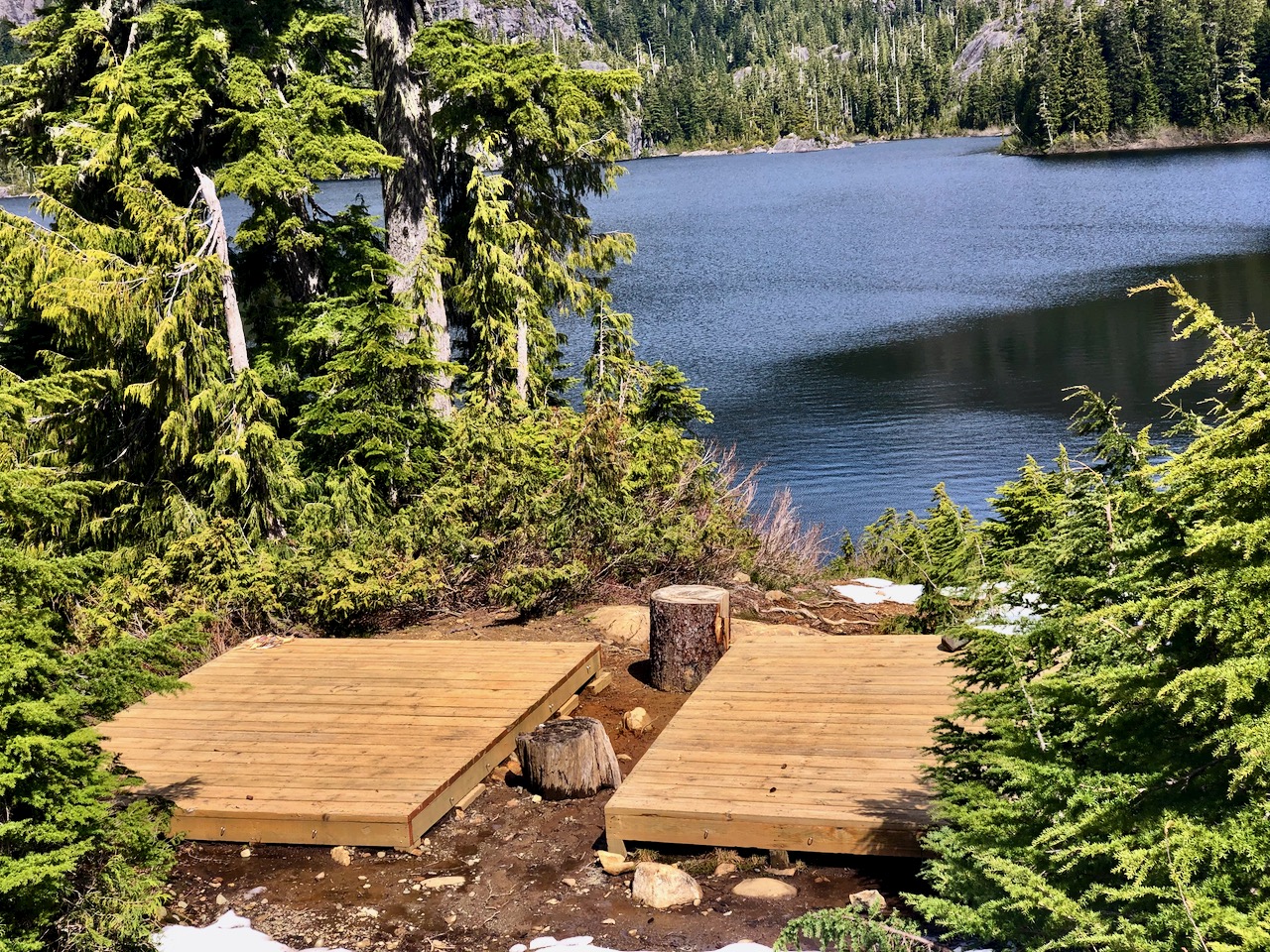
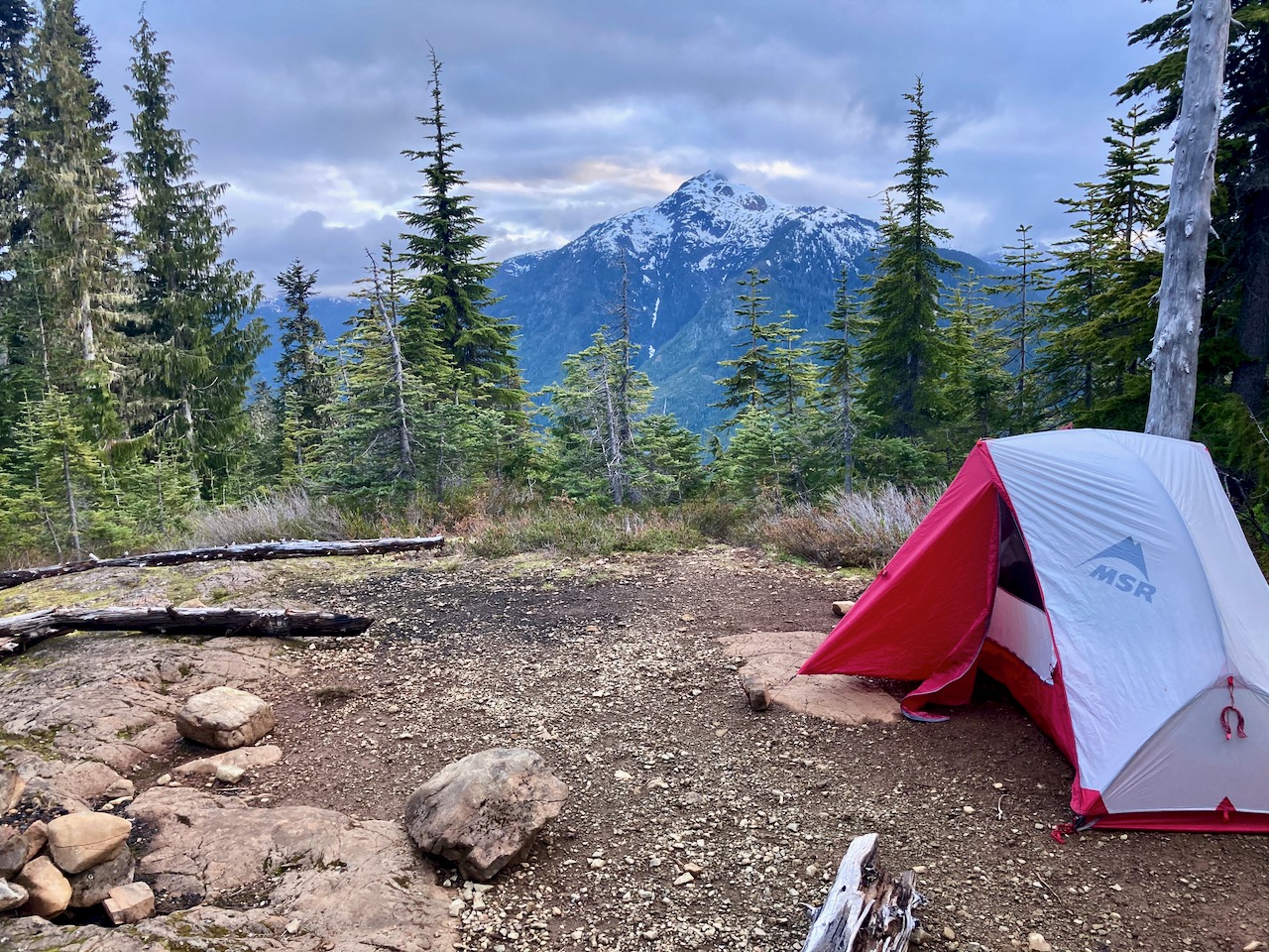
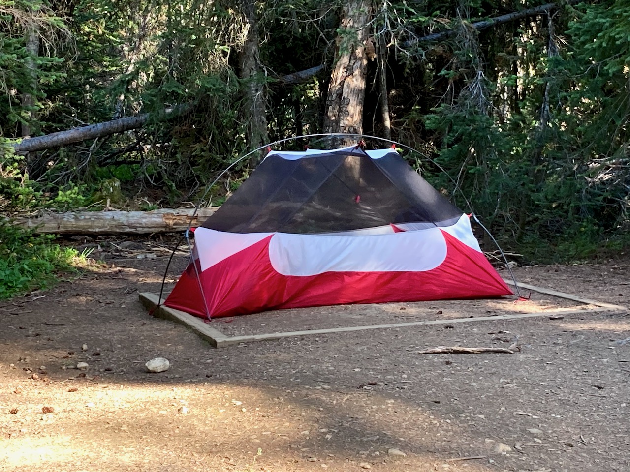
Warren set up a cook tarp to protect from sun and rain.

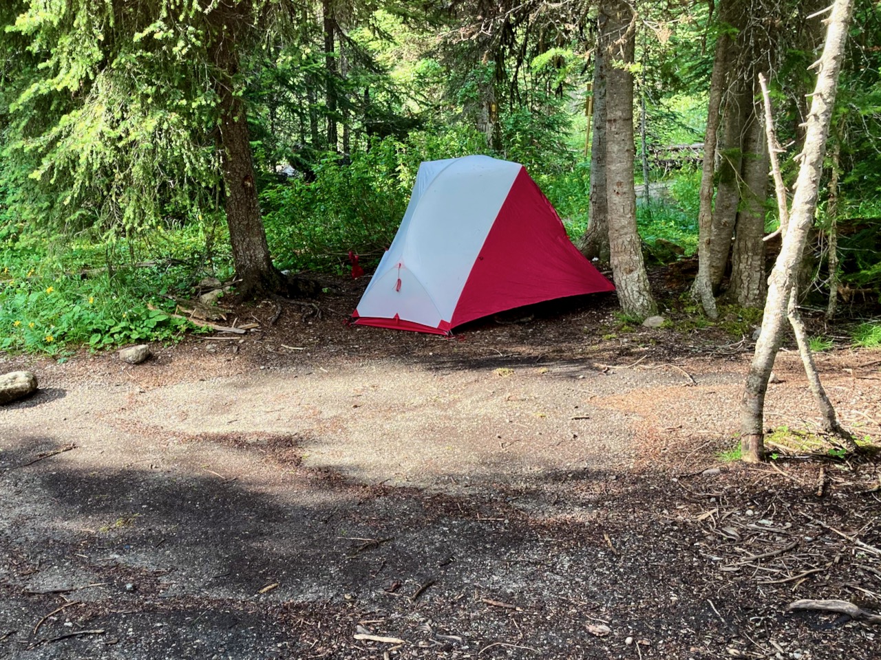
It’s a peaceful campground.


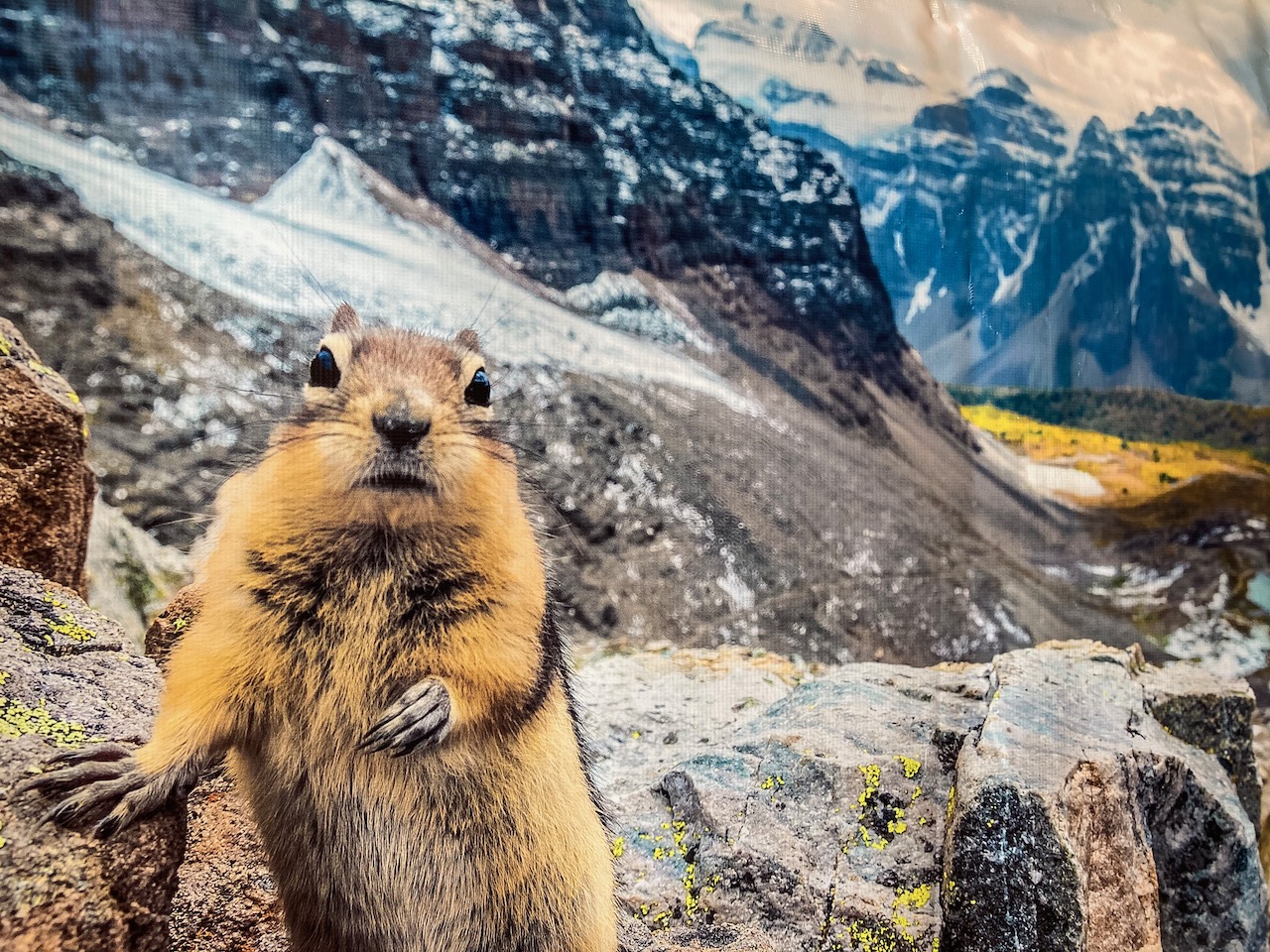
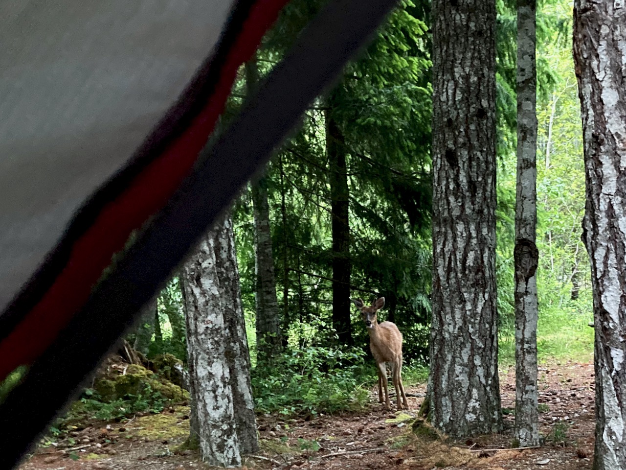
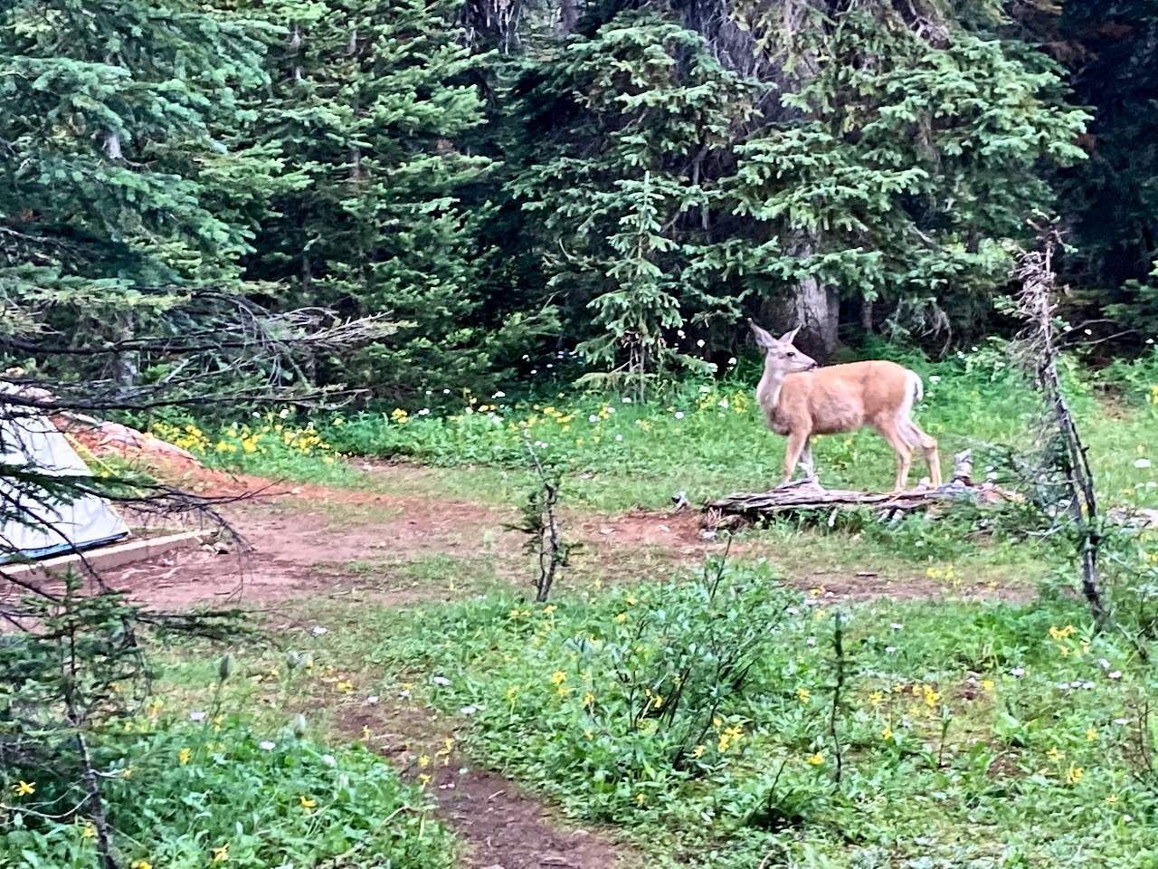
Next morning we had one deer hang around the tents. I assume he was salt deprived, looking for urine.
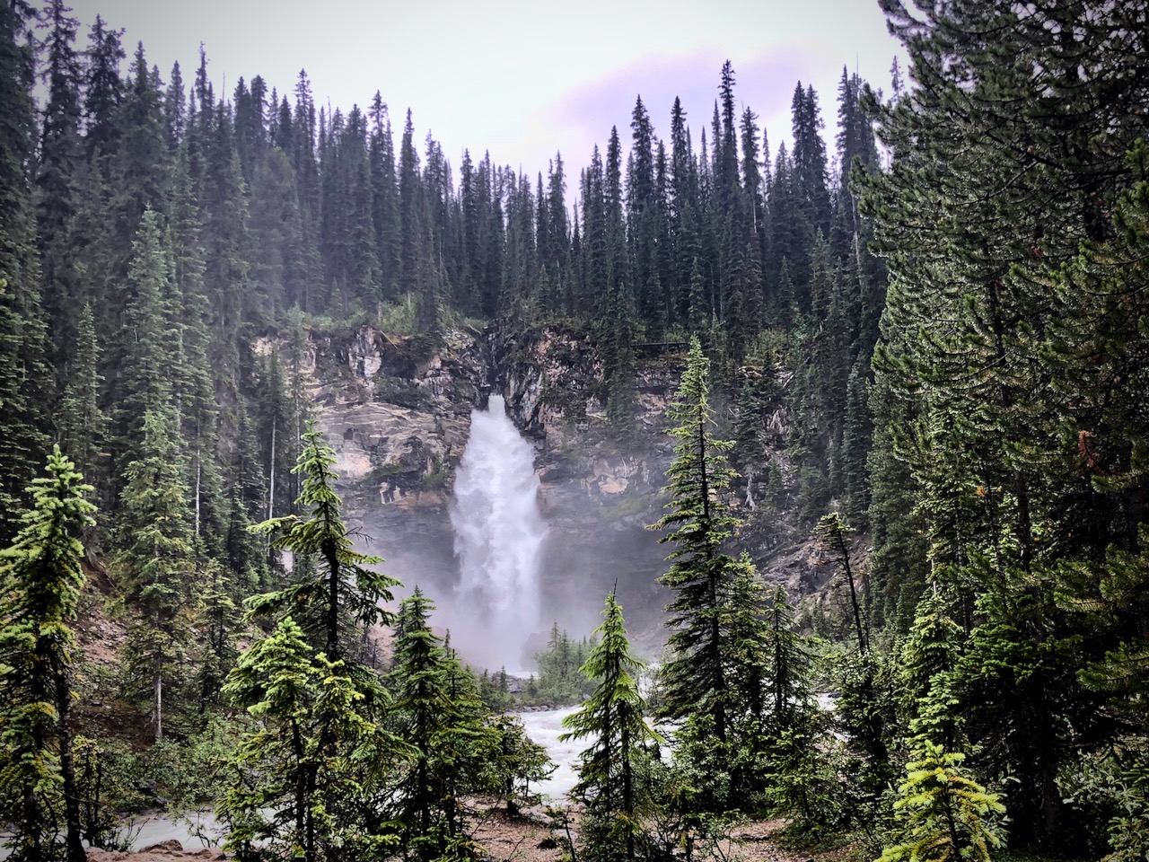
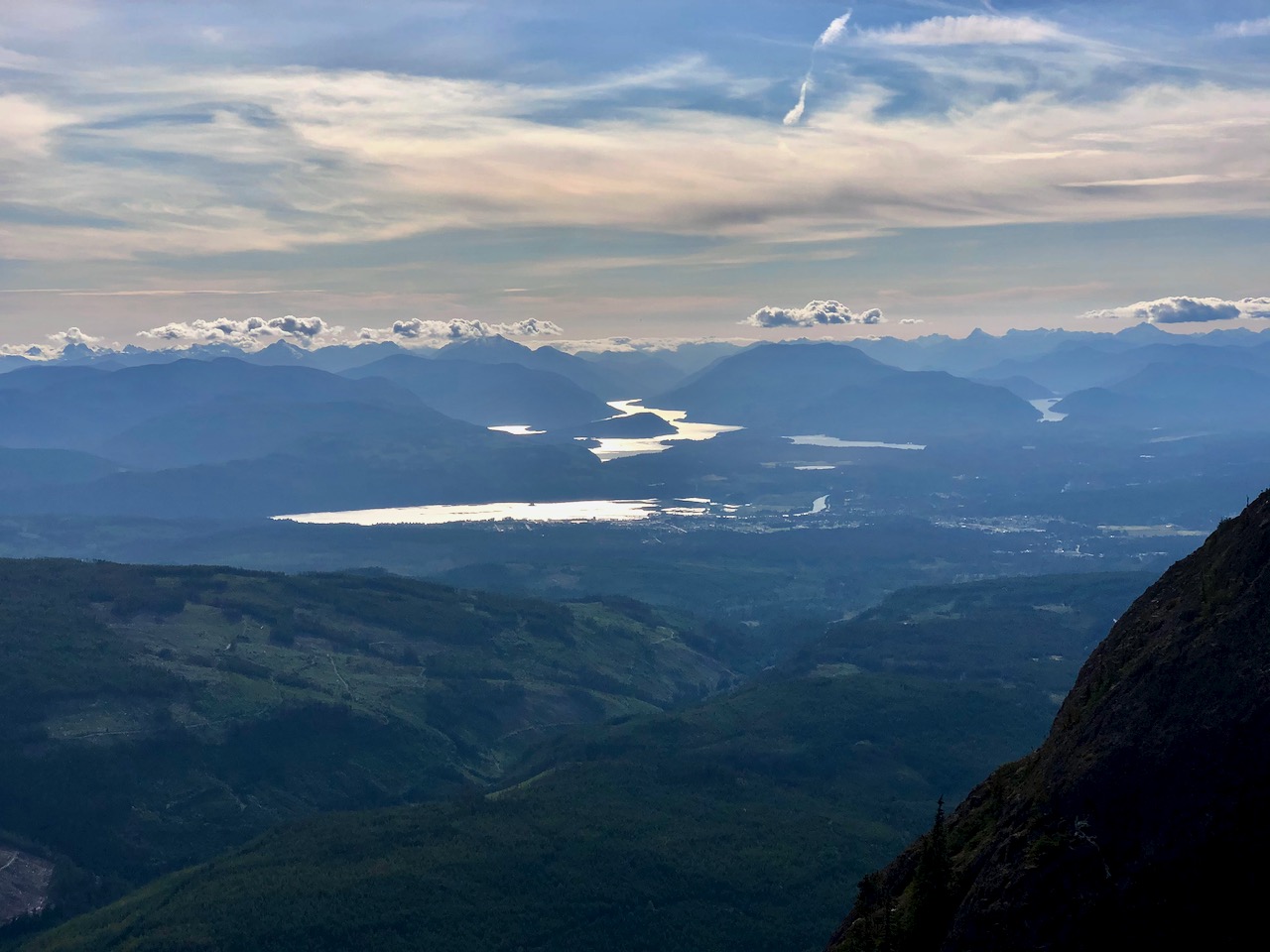
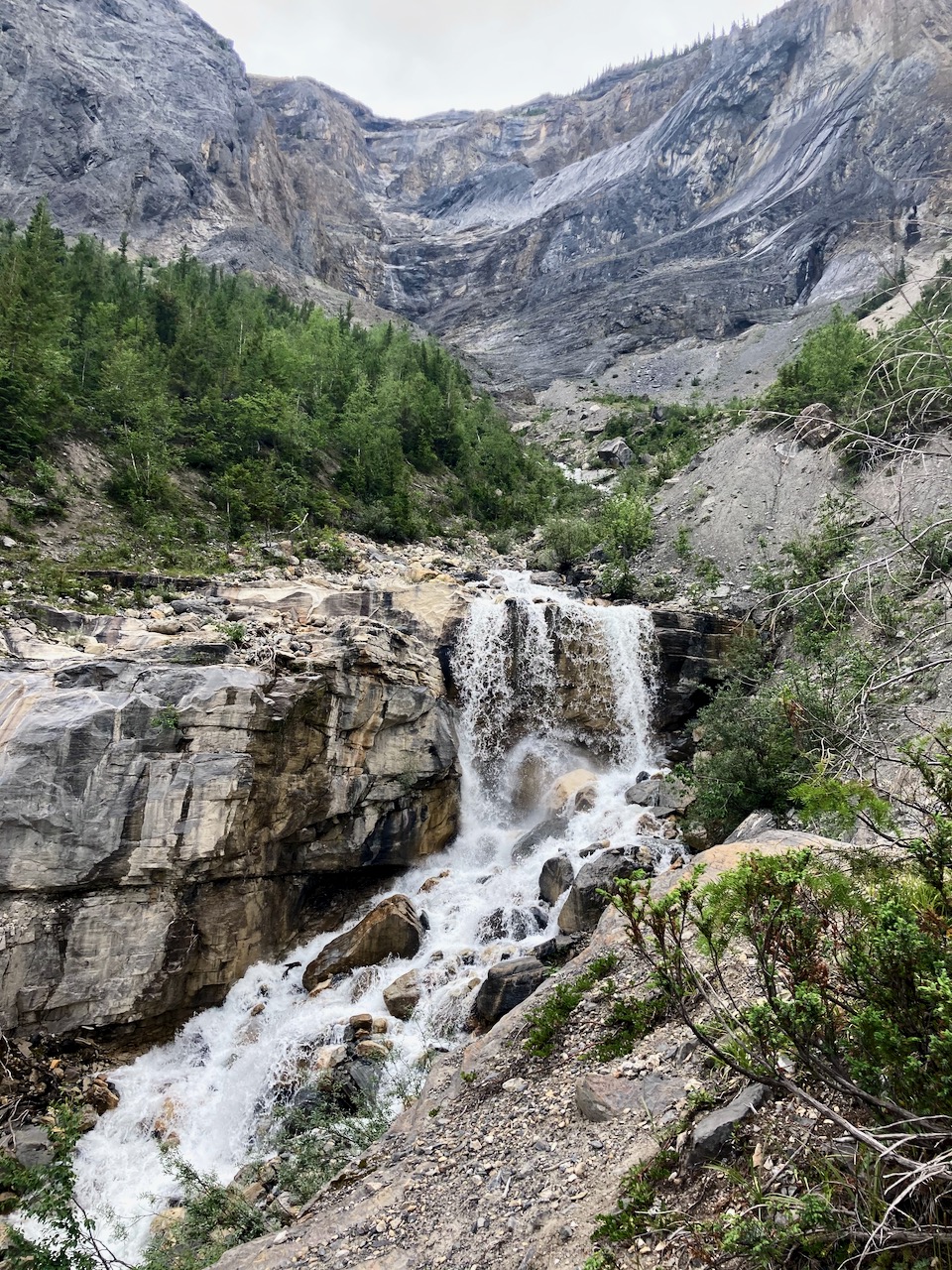
We took a day hike to look down on to Emerald lake.
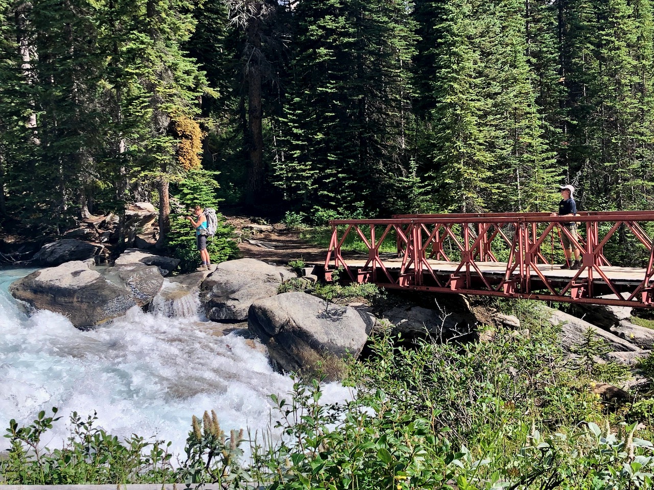
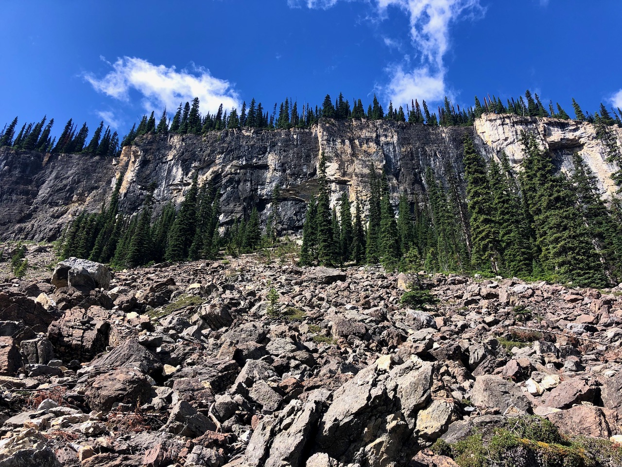
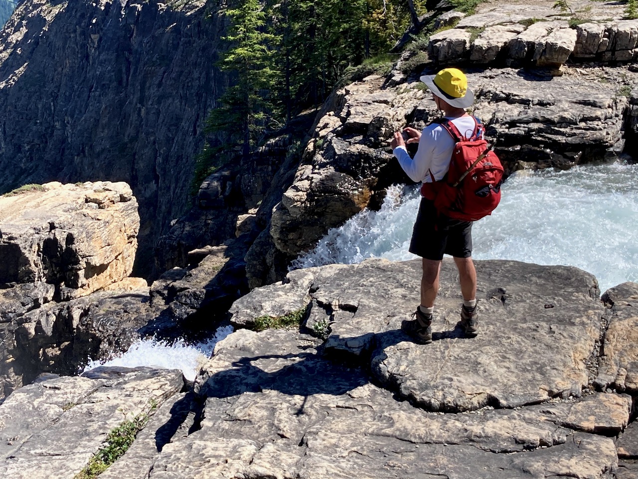
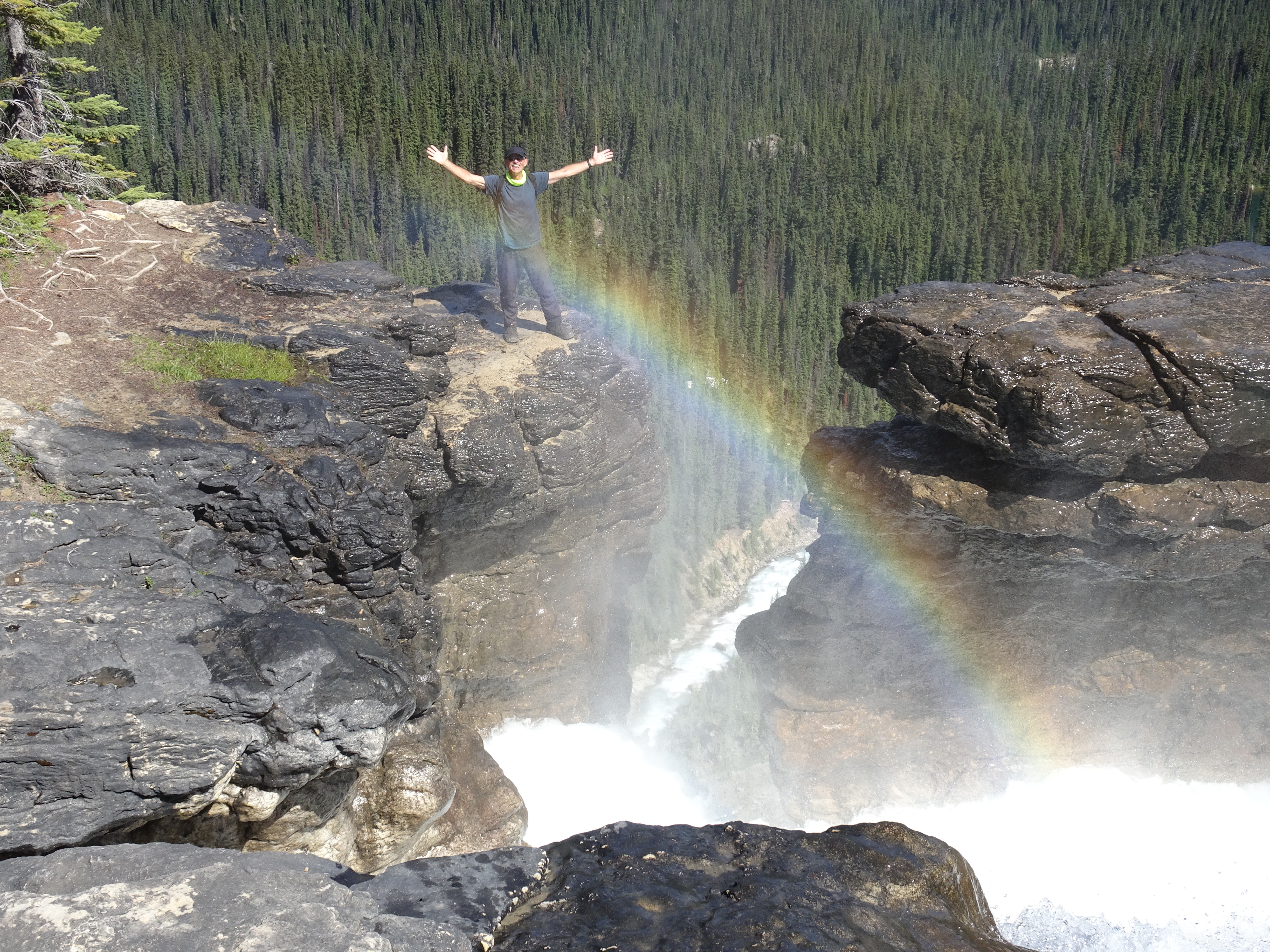
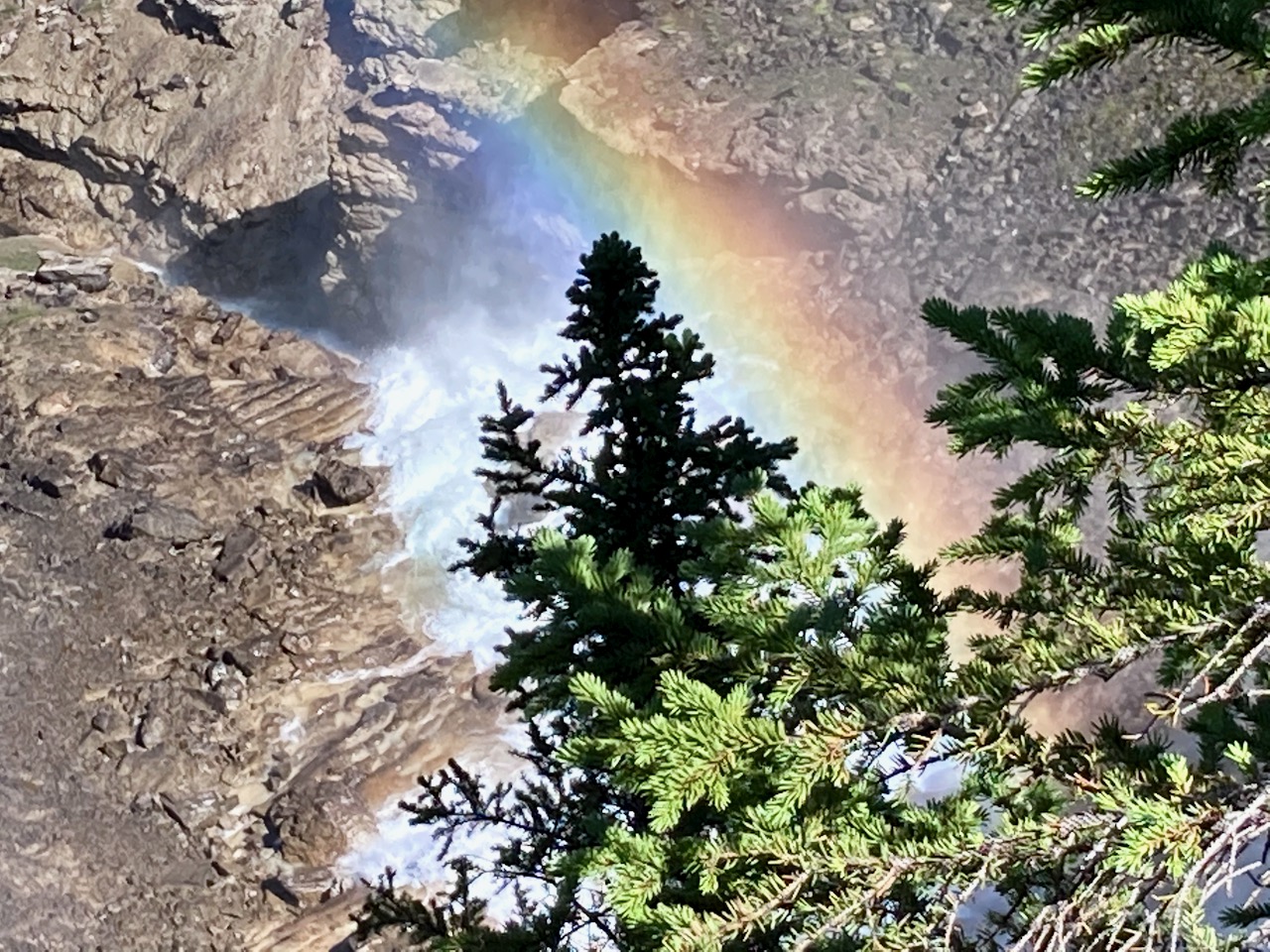
There are some impressive waterfalls en route.
Warren and I decided to extend the walk and circumambulate Emerald lake. (Actually, we had originally planned to return via Burgess Pass trail — but it seemed to be unsigned and closed in 2020.). So we walked around Emerald lake and back the way we came.
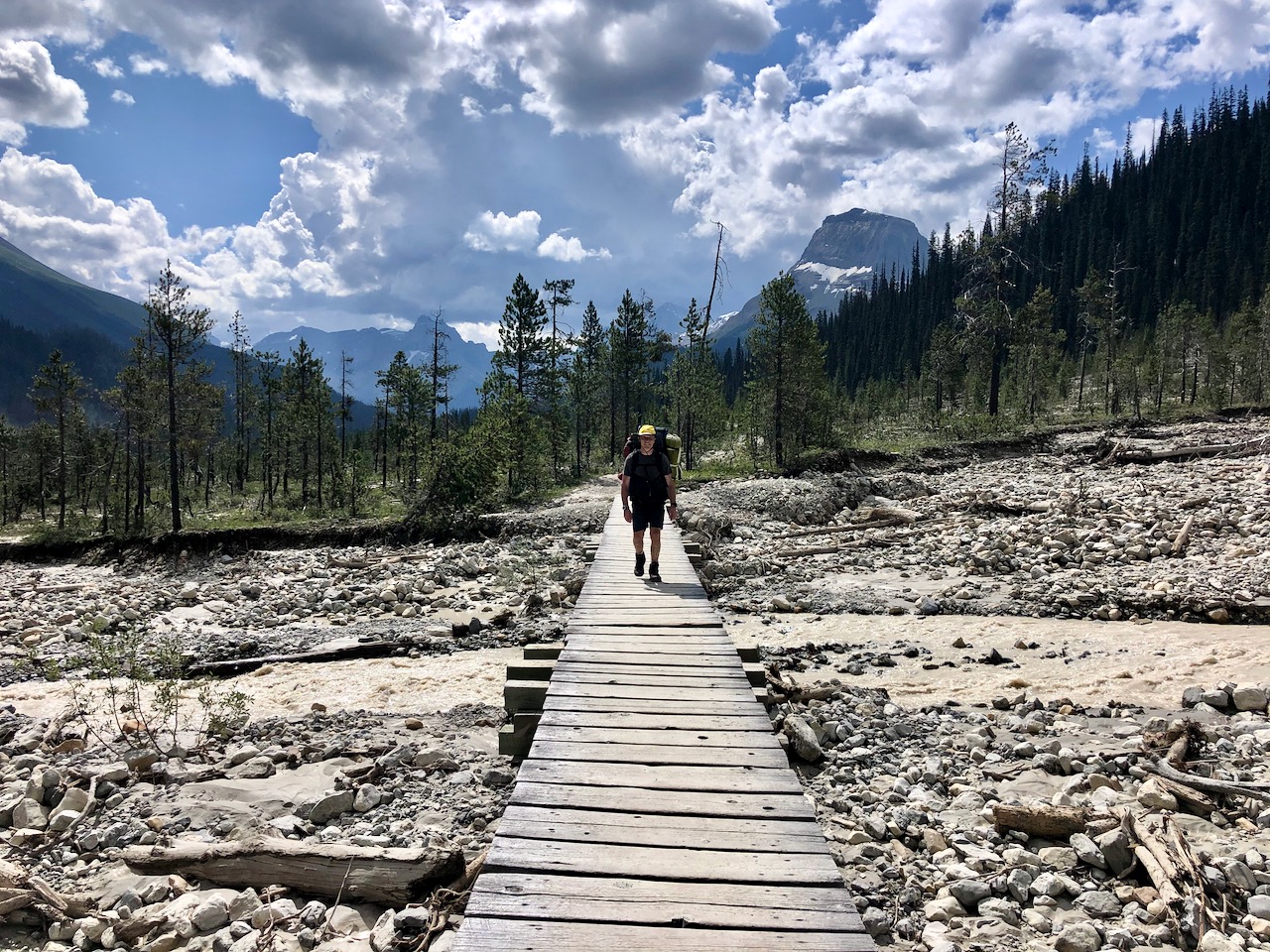
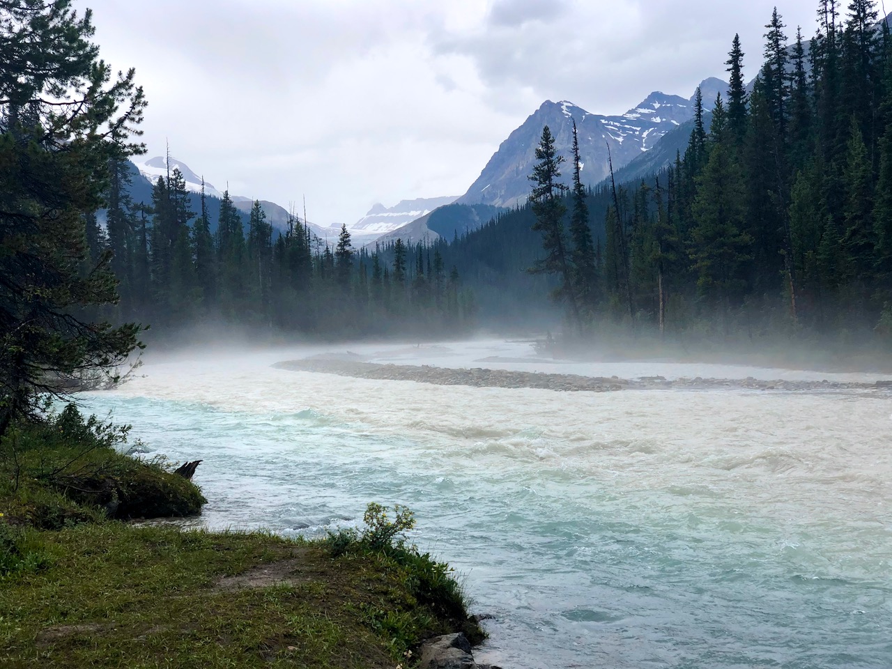
The only difficult section was about a half hour of flooded alluvial plain.

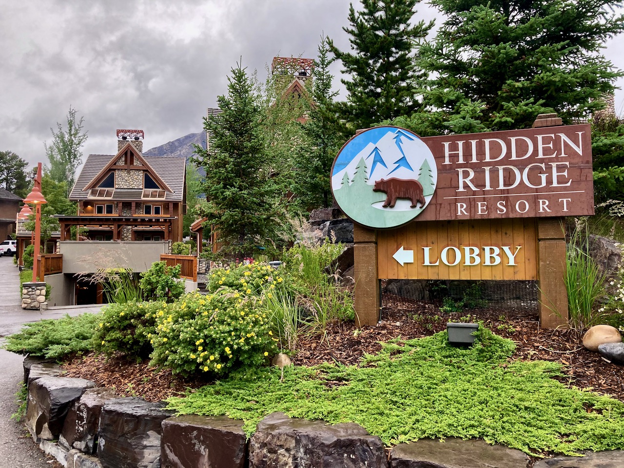
Once back in camp we found our group had decided to hike out a day early. Forecast was for big storm.
Rather than camp at the Takakkaw Falls campground, we instead drove to Banff and enjoyed a dry night at the Hidden Ridge resort.
Another great hiking adventure. 🙂