Trip report by BestHike editor Rick McCharles
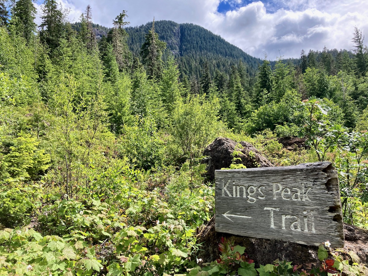
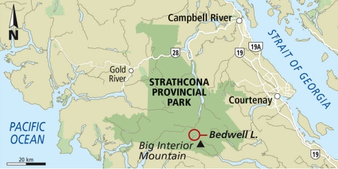
The Bedwell Lakes trails are some of the best in Strathcona Provincial Park, Vancouver Island.
We’ve added Bedwell to our list of best hikes in North America.
The up-and-back Bedwell Lake Trail:
-
-
- 10km return
- 1-3 days
- 875m elevation gain/loss
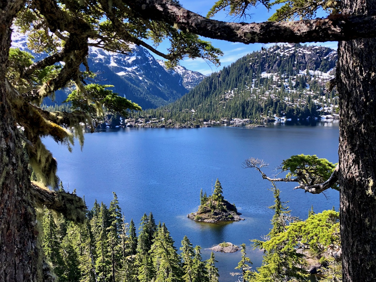
- Bedwell Lake lookout 980m
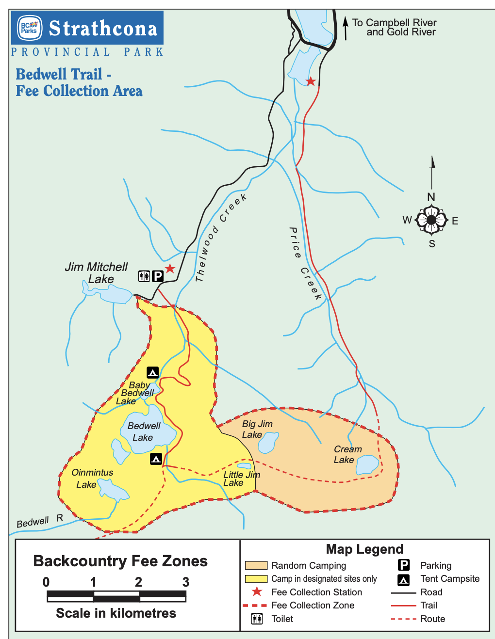
- camping fee at trailhead (CAD $10 / site in 2020)
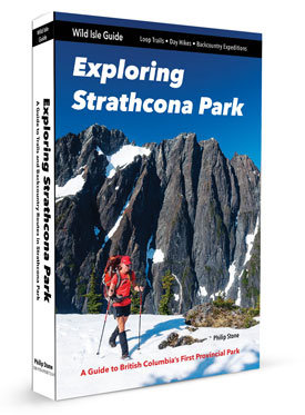
- Phillip Stone – Exploring Strathcona Park guidebook
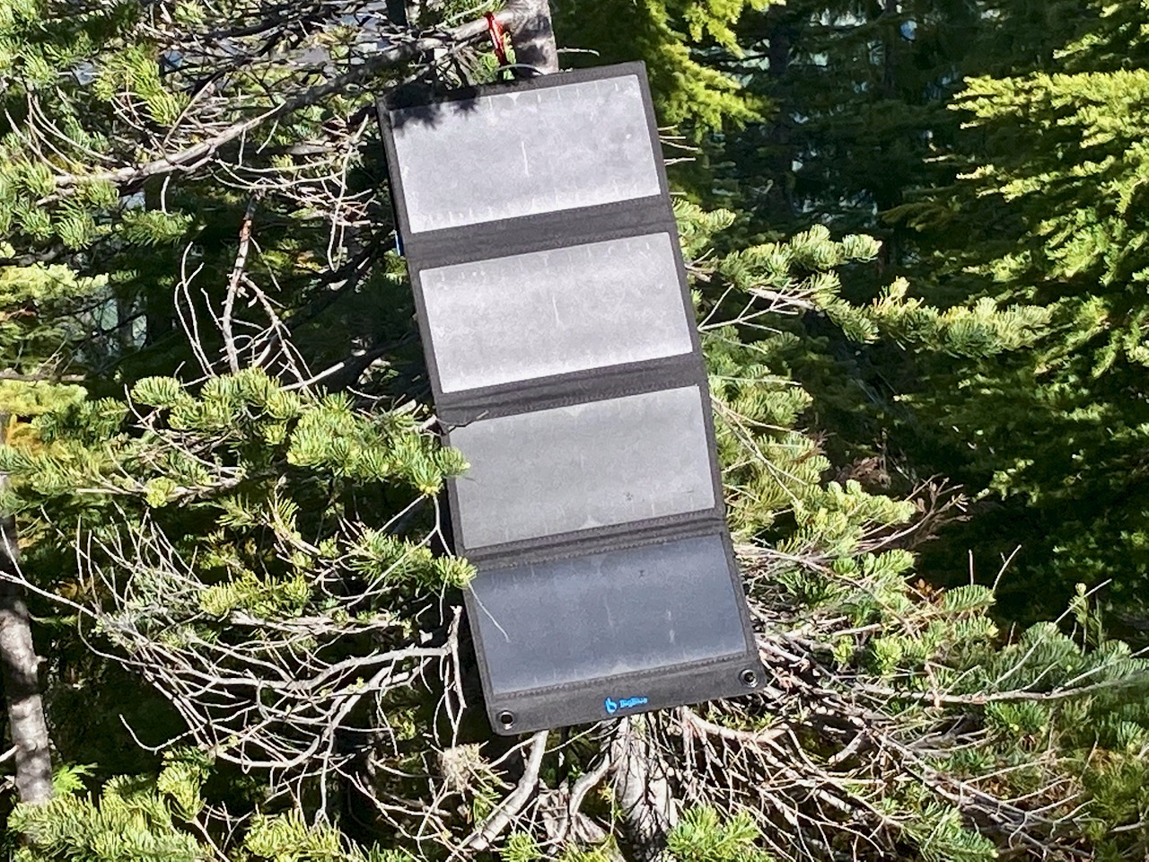
- no electricity nor mobile phone service. I carried a solar charger.
-
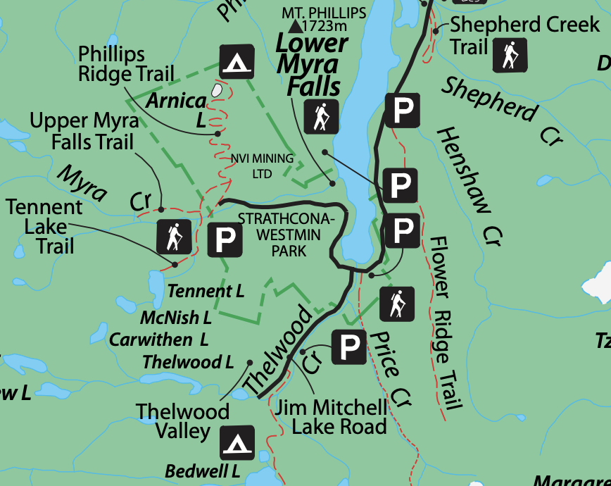
If adventurous, you could continue to longer routes including:
- Cream Lake
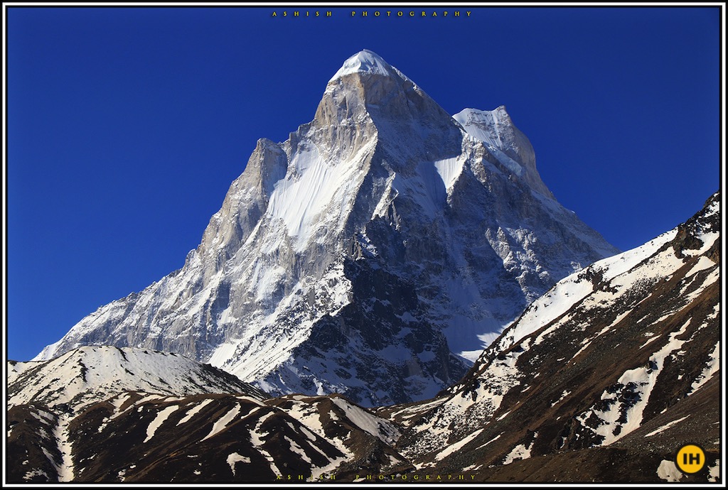
- climbing Big Interior mountain
- continue to Mt Myra
- continue to Phillips Ridge
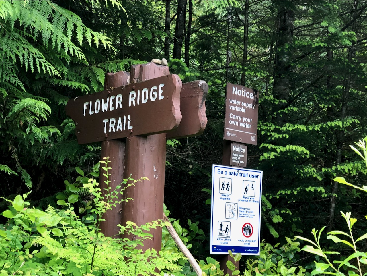
- exit via Flower Ridge
- exit via Price Creek
- climbing Mt Tom Taylor
Amazing would be to continue to Bedwell Sound, organizing a water taxi to take you to Tofino.
Good navigation needed on all those options, of course. They are all more difficult than Bedwell.
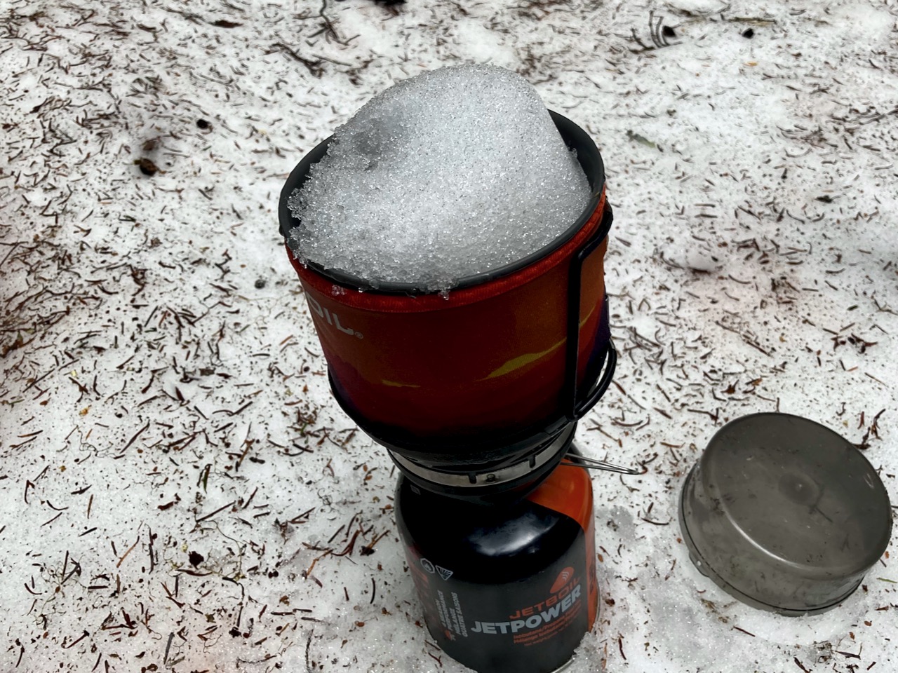
If I had proper snow gear I would have continued on to Cream Lake (at least) where you get views of Nine Peaks, Mt Septimus and (possibly) Della Falls, highest in Canada.
I did talk to one couple who were trying to posthole their way to Cream. And they looked prepared. It would be easier later in the season.
CAUTION – A hiker died here in 2015, Anders Jason Newman. He slipped and fell from height somewhere above the lakes.
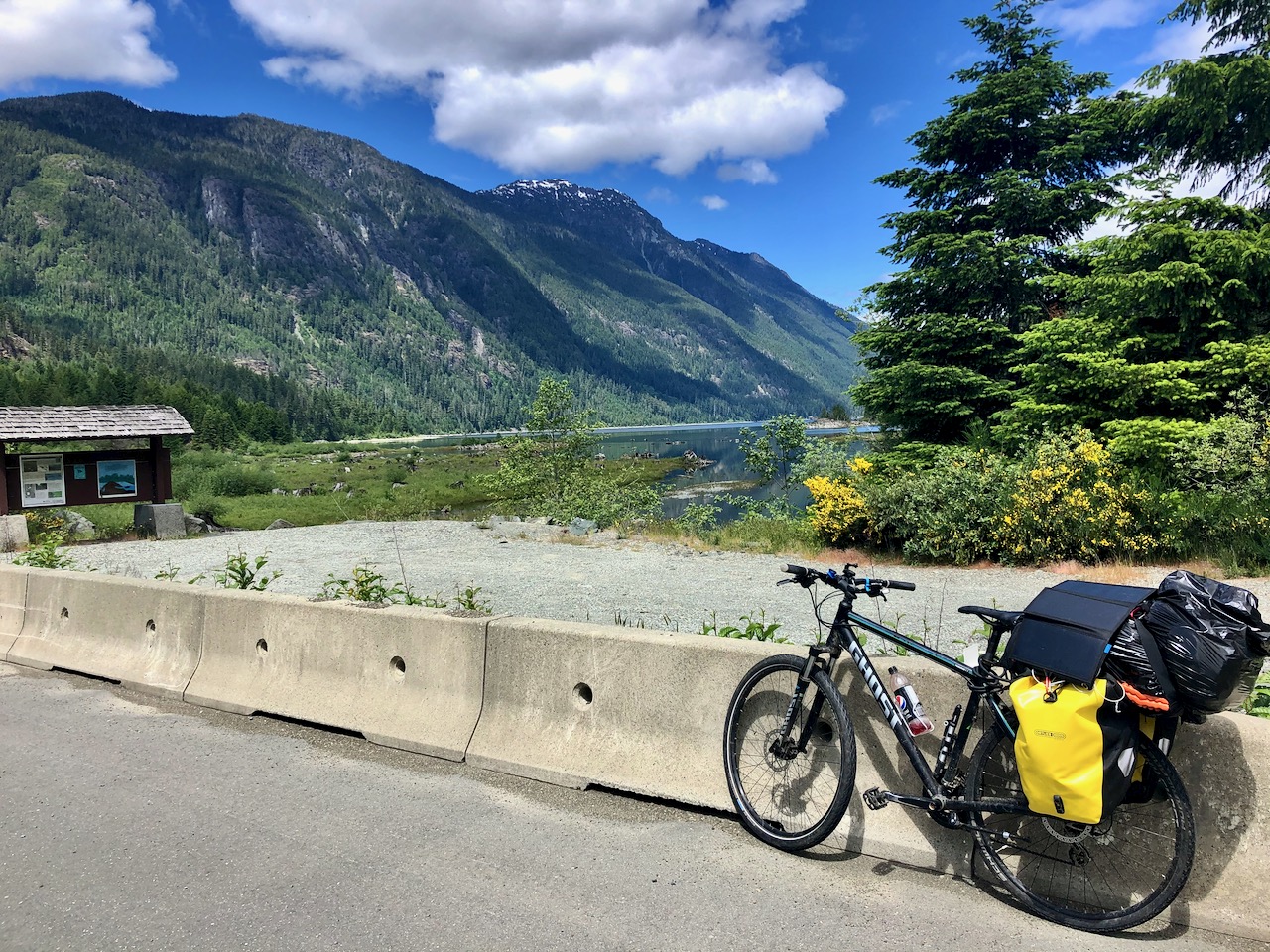
Cycled to the trailhead, walking the last 3km as Jim Mitchell Lake road was steep!
Full Strathcona Park map (PDF)
Started up about 3pm in perfect weather.
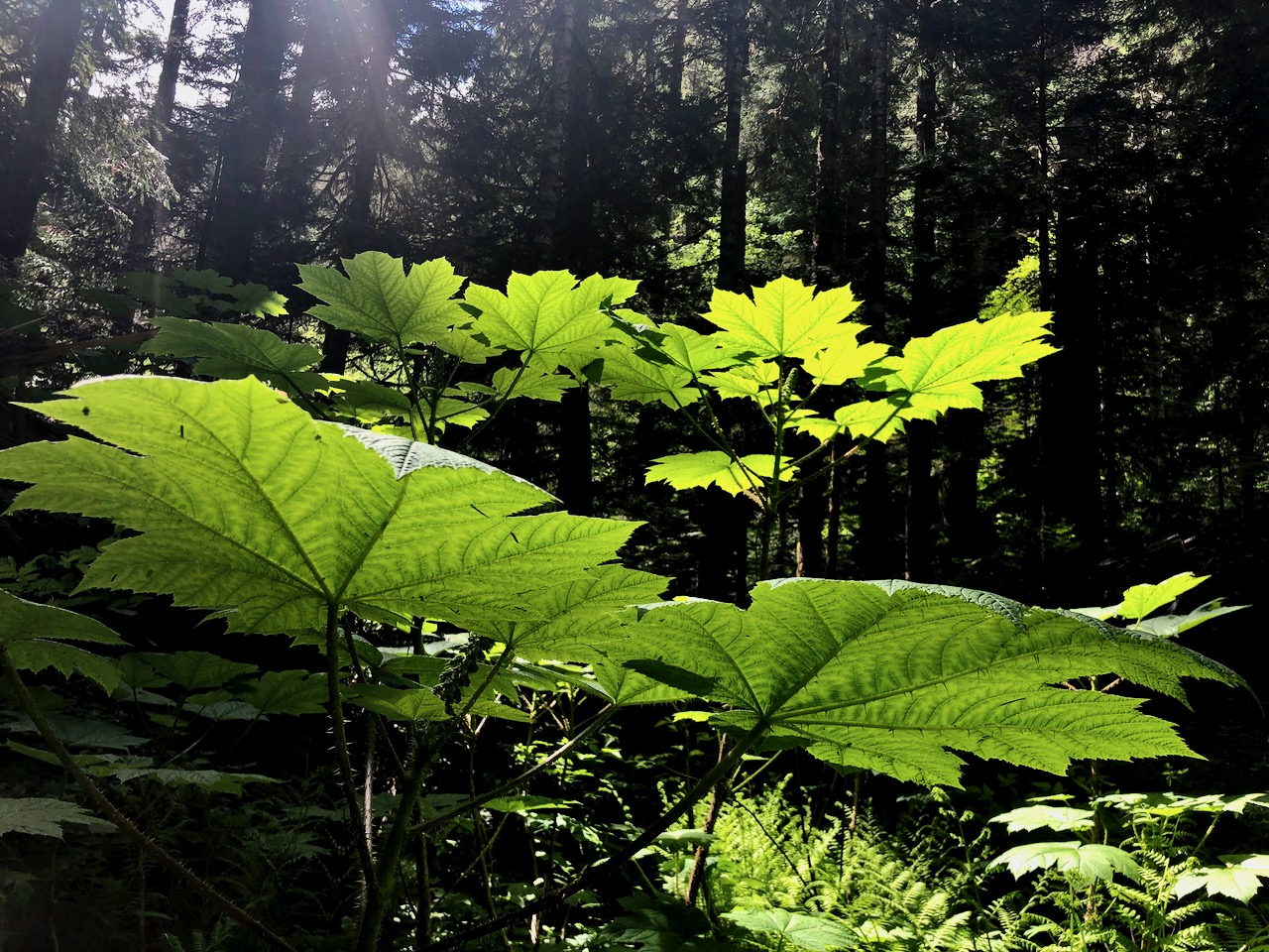
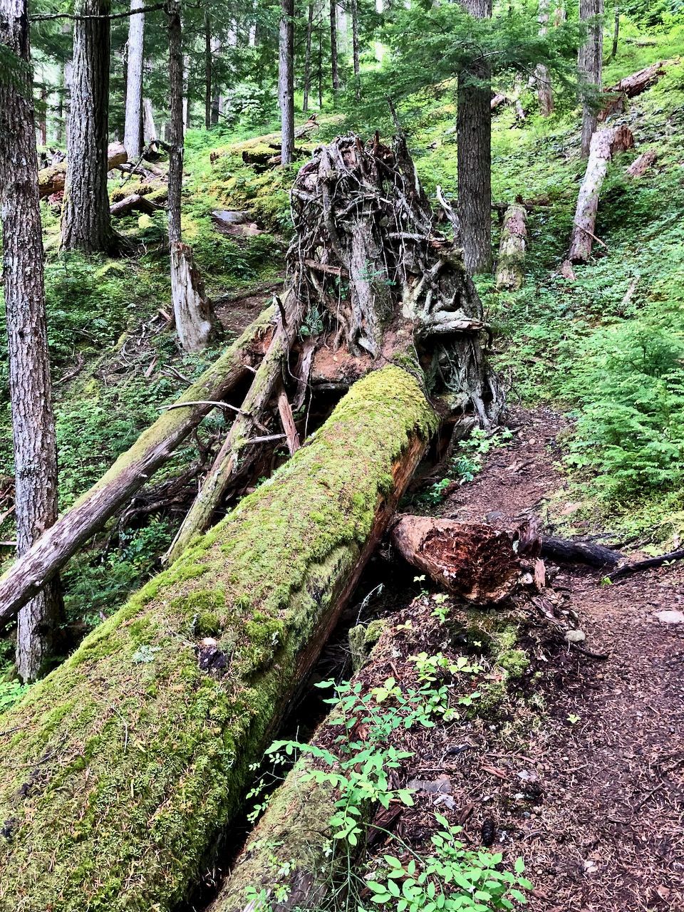
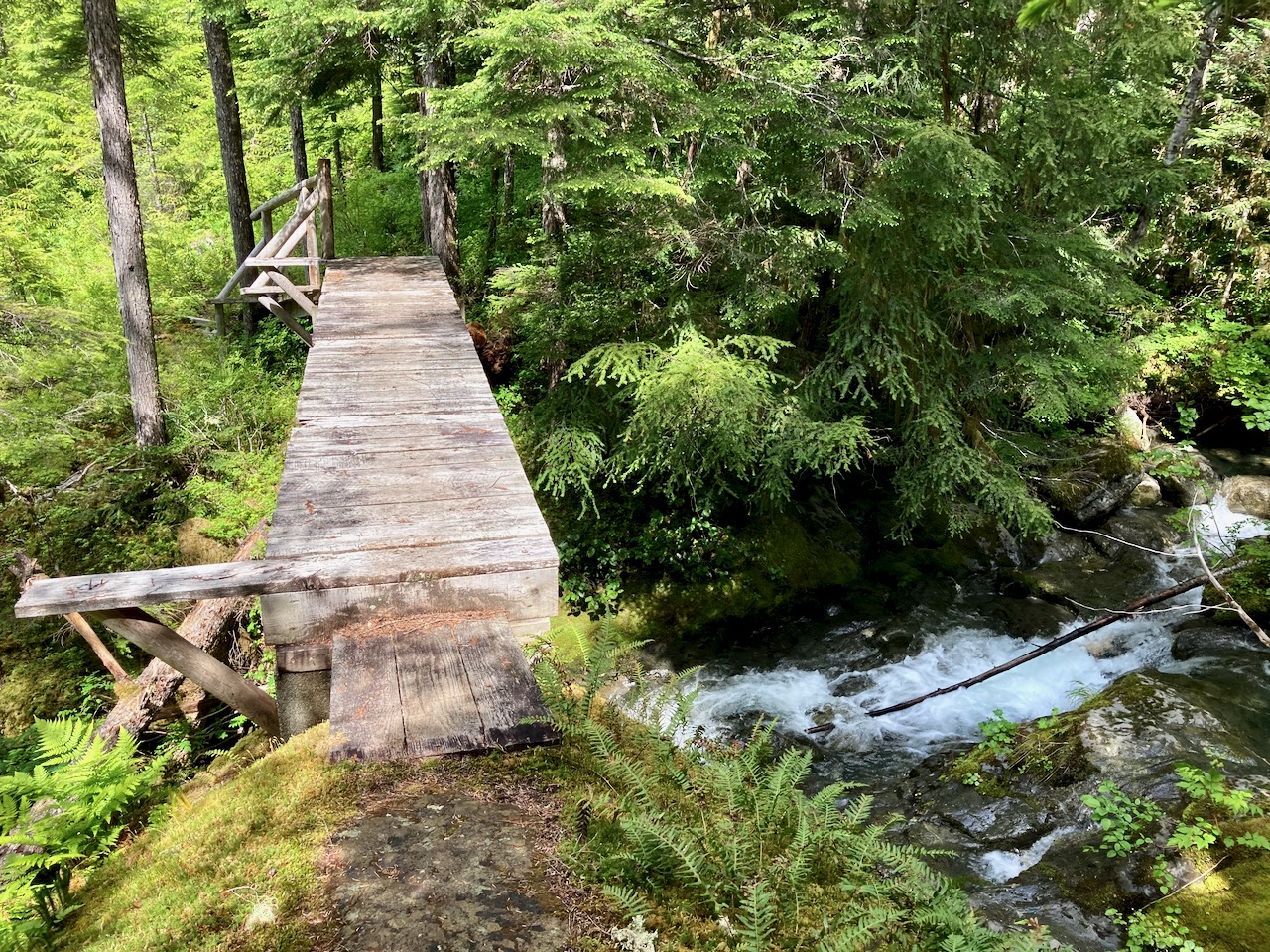
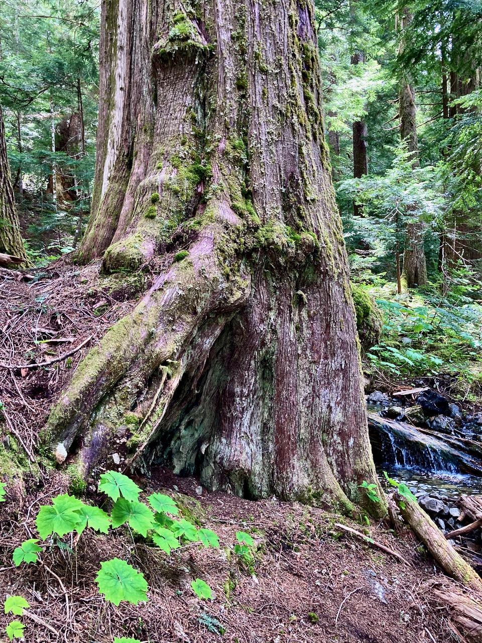
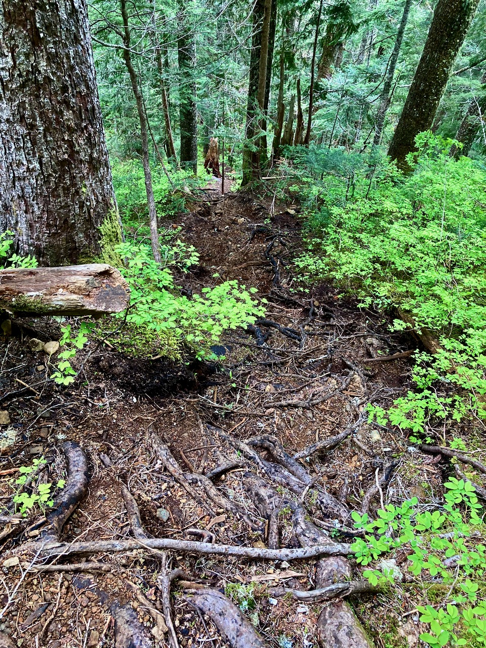
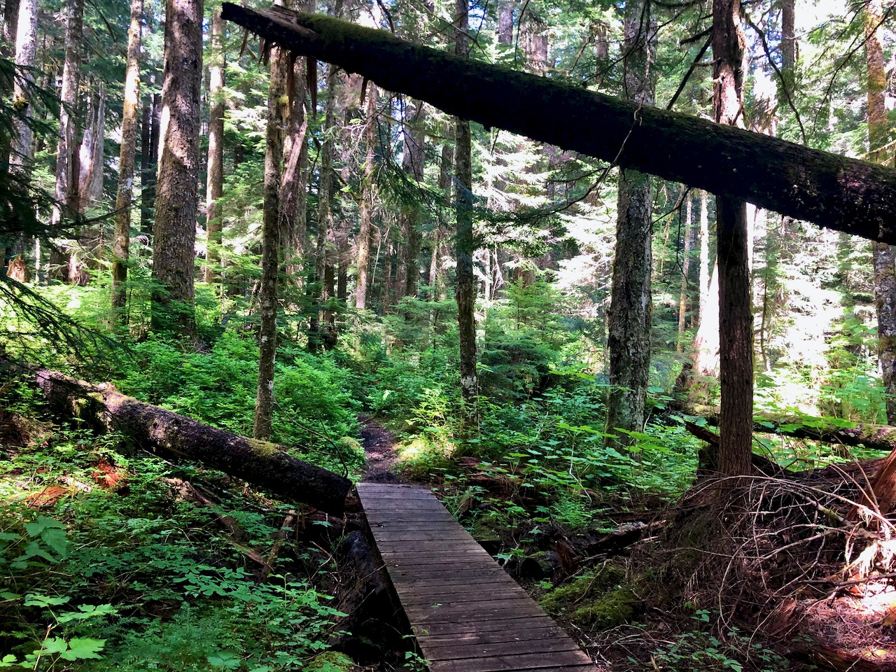
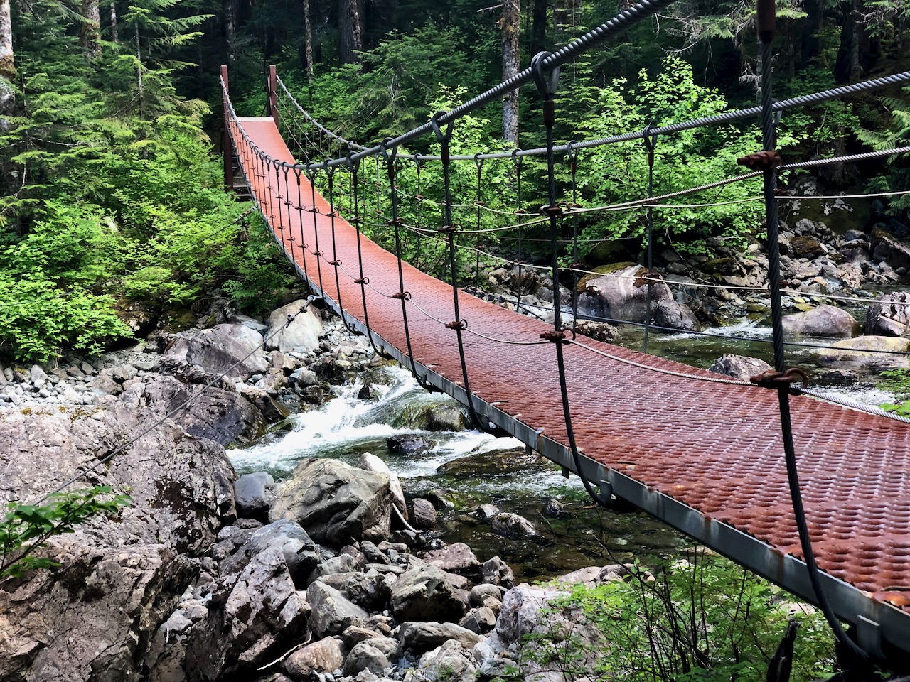
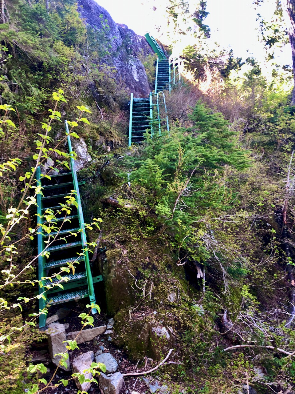
Bedwell is possibly the best maintained trail in Strathcona. So steep and (potentially) wet, numerous anti-erosion measures are necessary: wood bridges, metal bridges, boardwalk, etc.
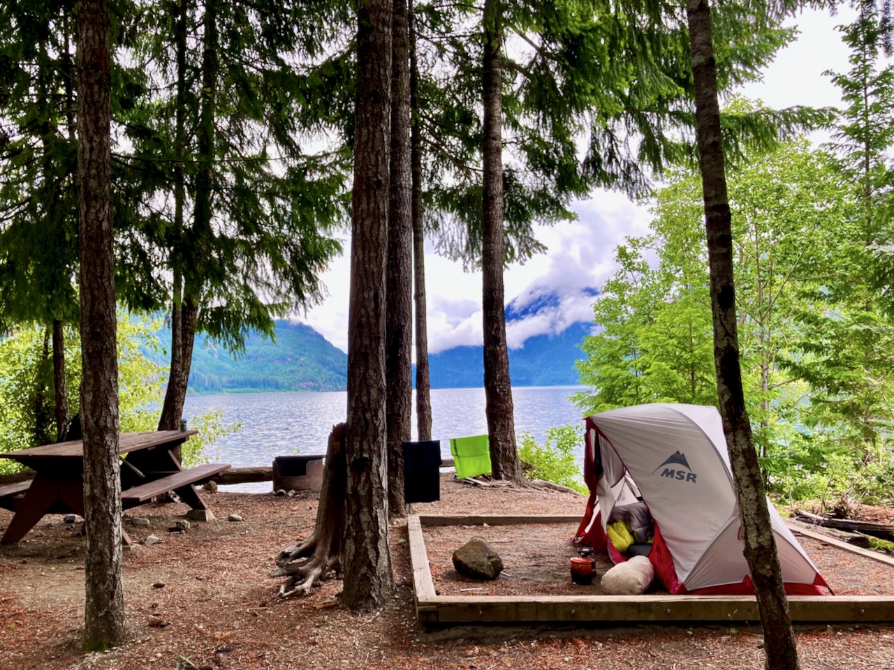
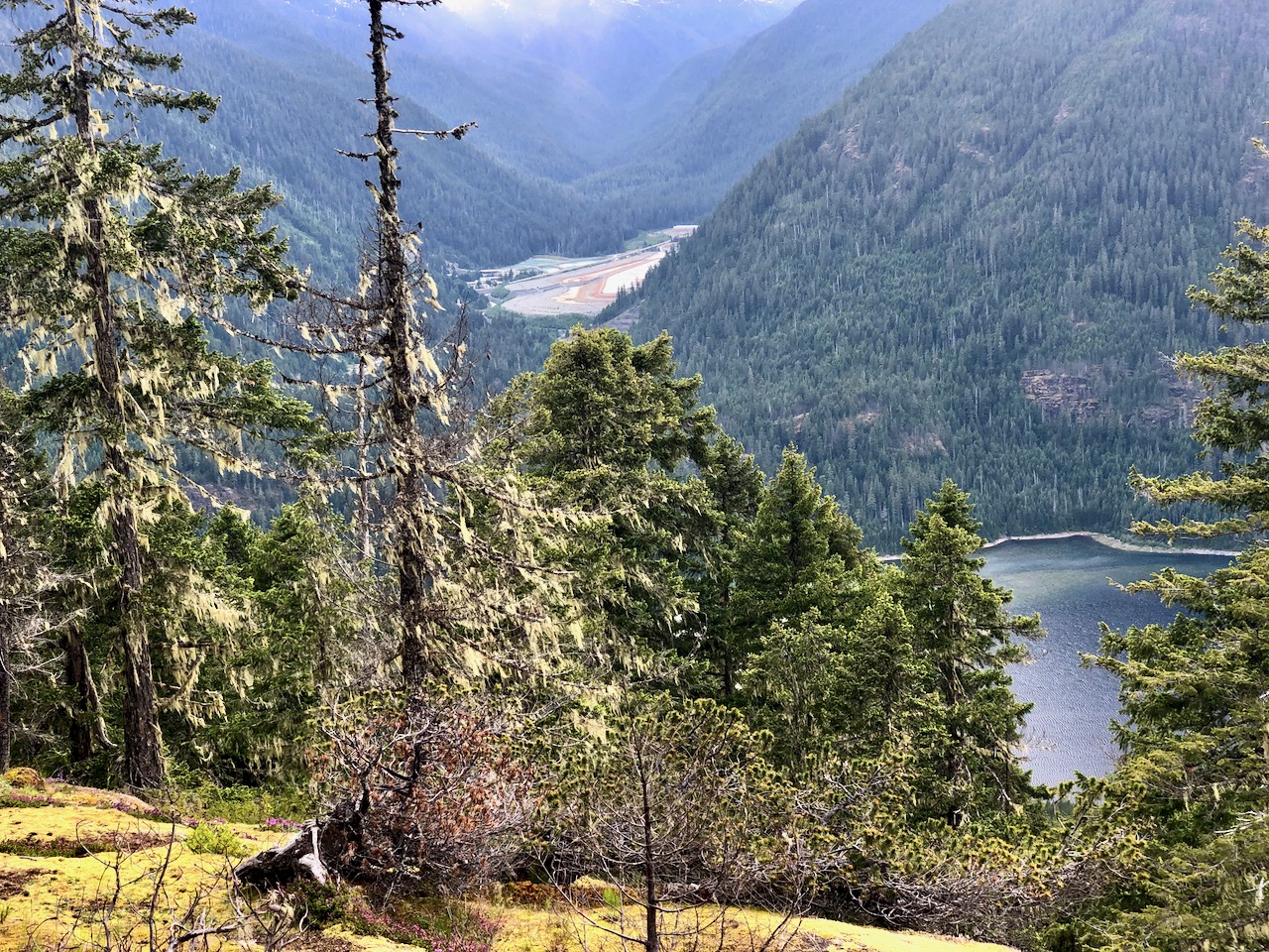
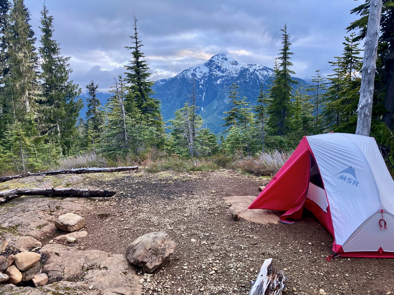
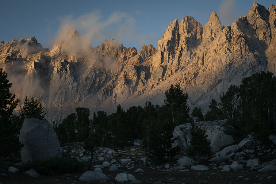
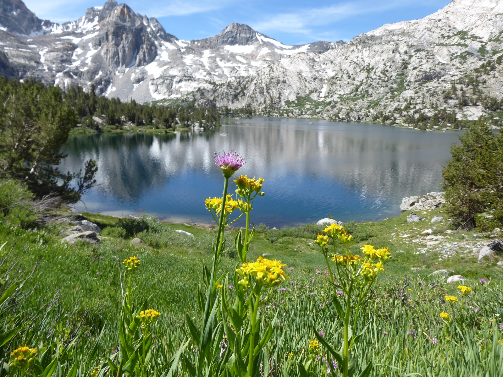
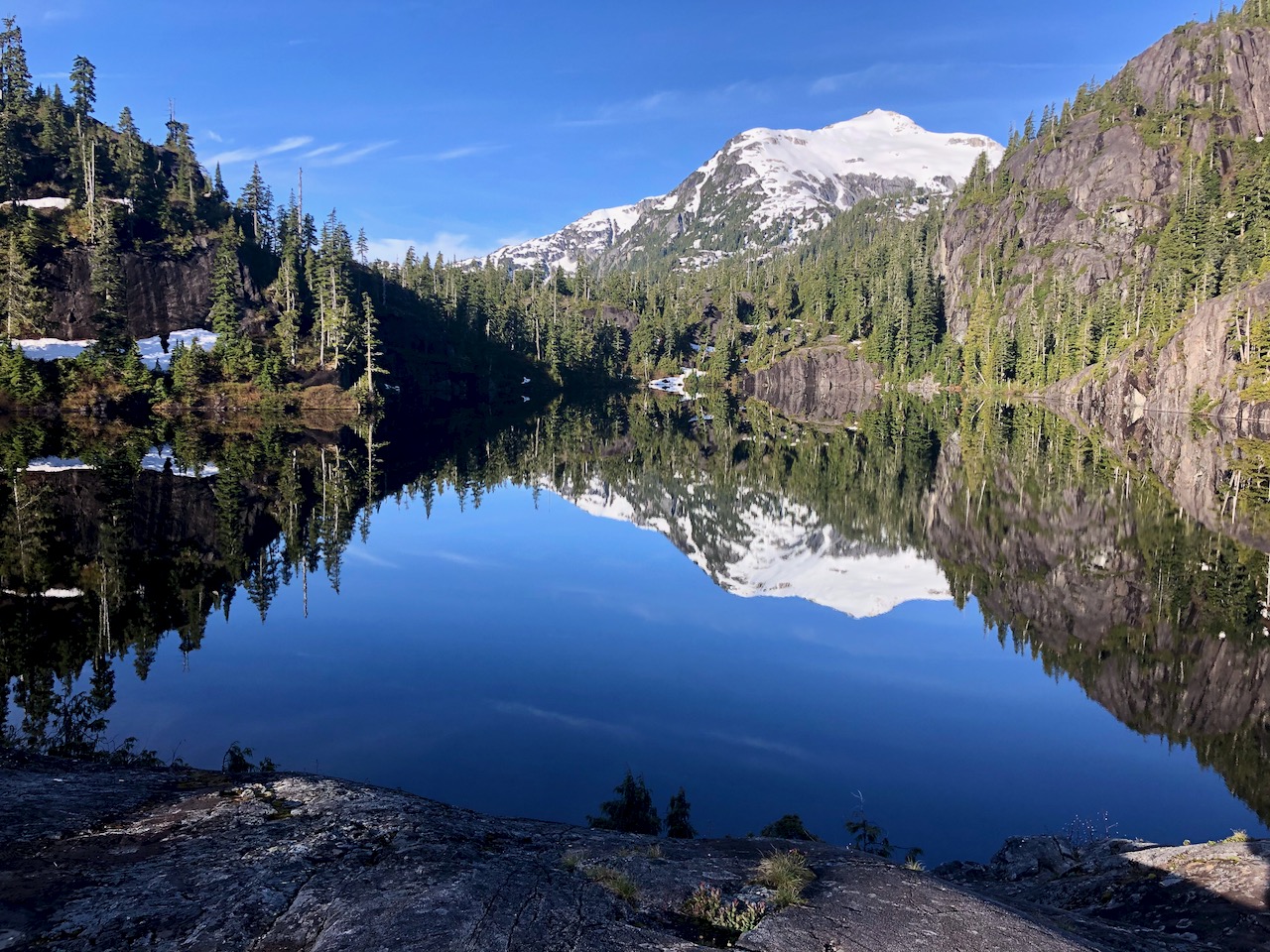
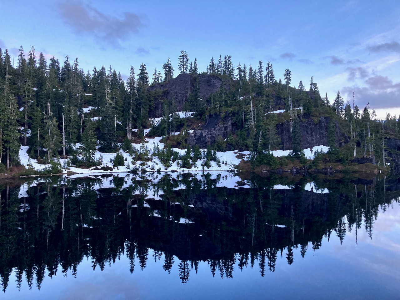
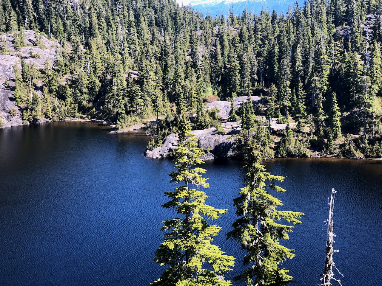
I reached Baby Bedwell lake about 6pm. A gorgeous vista looking over to Mt. Tom Taylor.
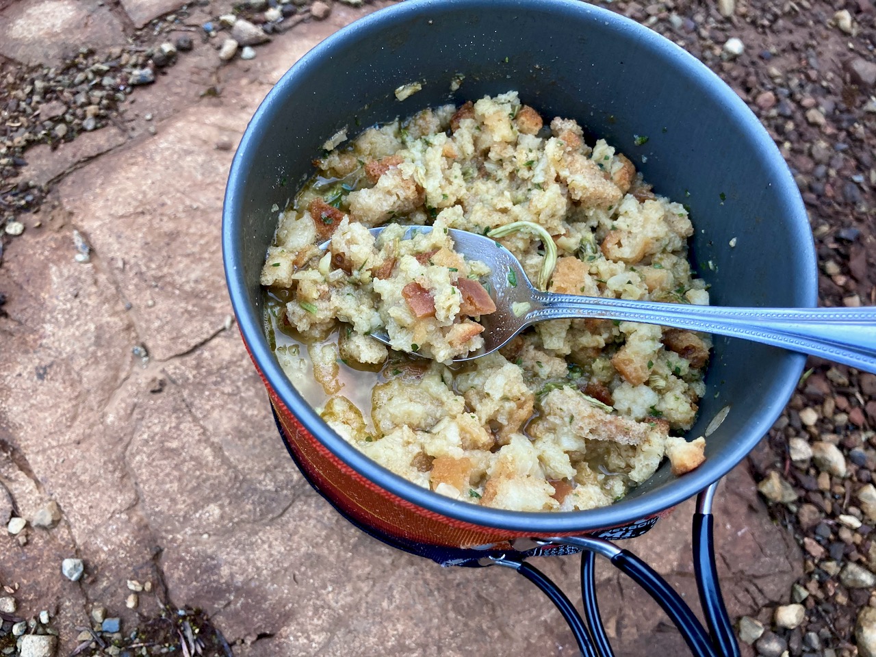
Relaxed. Enjoyed dinner from the rocks watching the fading light.
Next morning perfect weather again. No wind.
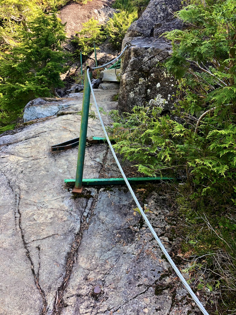
En route to the big lake are a number of steel ladders and one chain assist. It would be very slippery when wet descending in the rain.
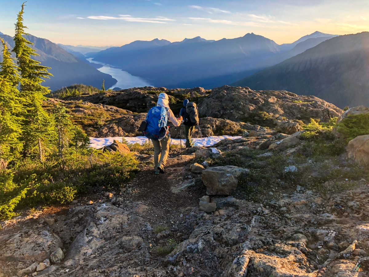
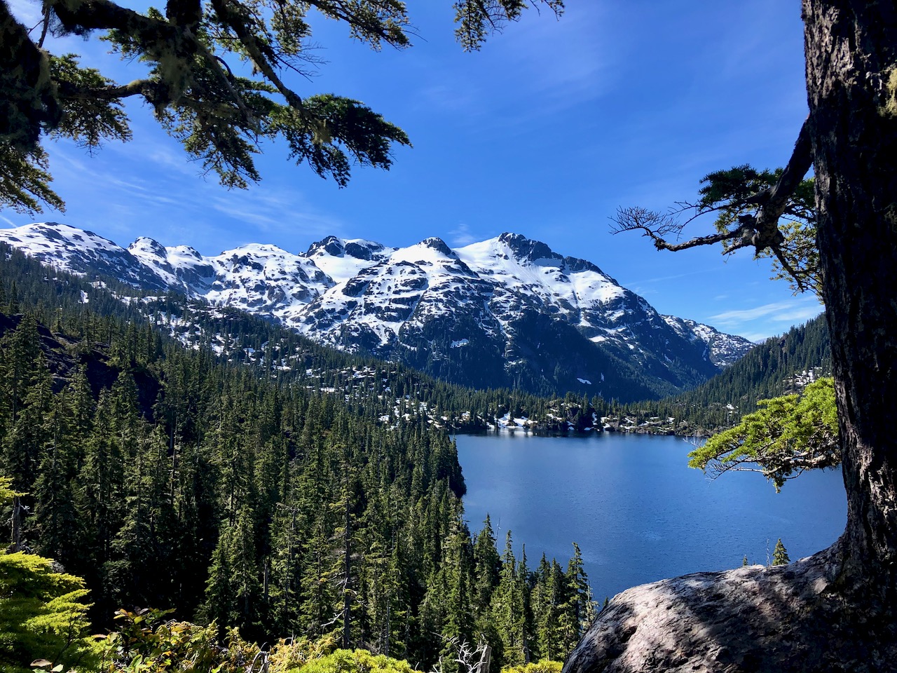
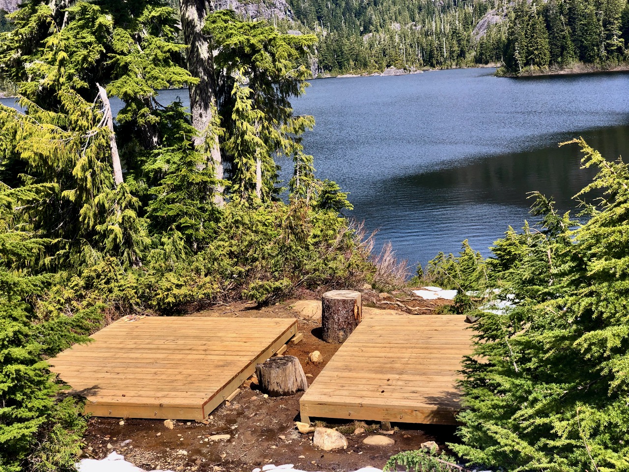
Wow. You arrive well above Bedwell lake with astonishing vistas.
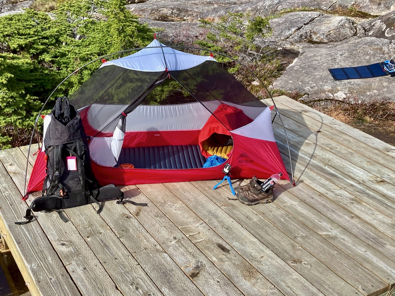
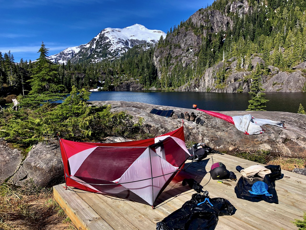
There are tent platforms at both lakes. Personally I prefer those at Baby Bedwell over these at Bedwell.
With good weather, my return back down the same trail seemed easy to me.
What a nice 2-day hike!
The best hiking guidebook is Exploring Strathcona Park. Dead tree version available only.
See our list of the best hikes in North America.