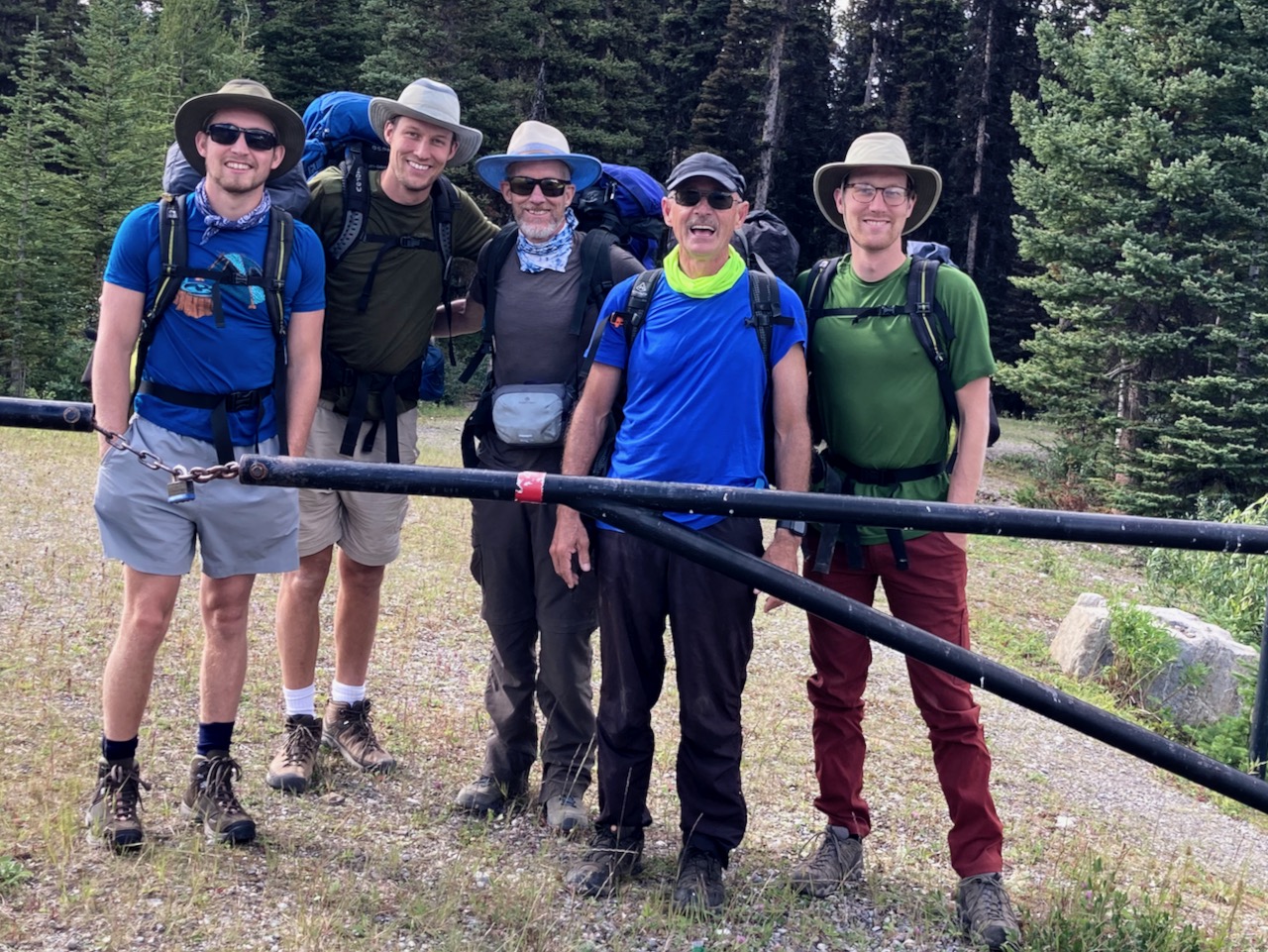
Trip report by BestHike editor Rick McCharles
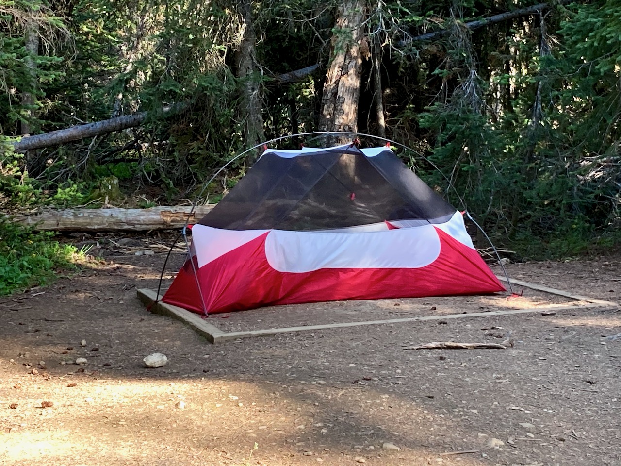
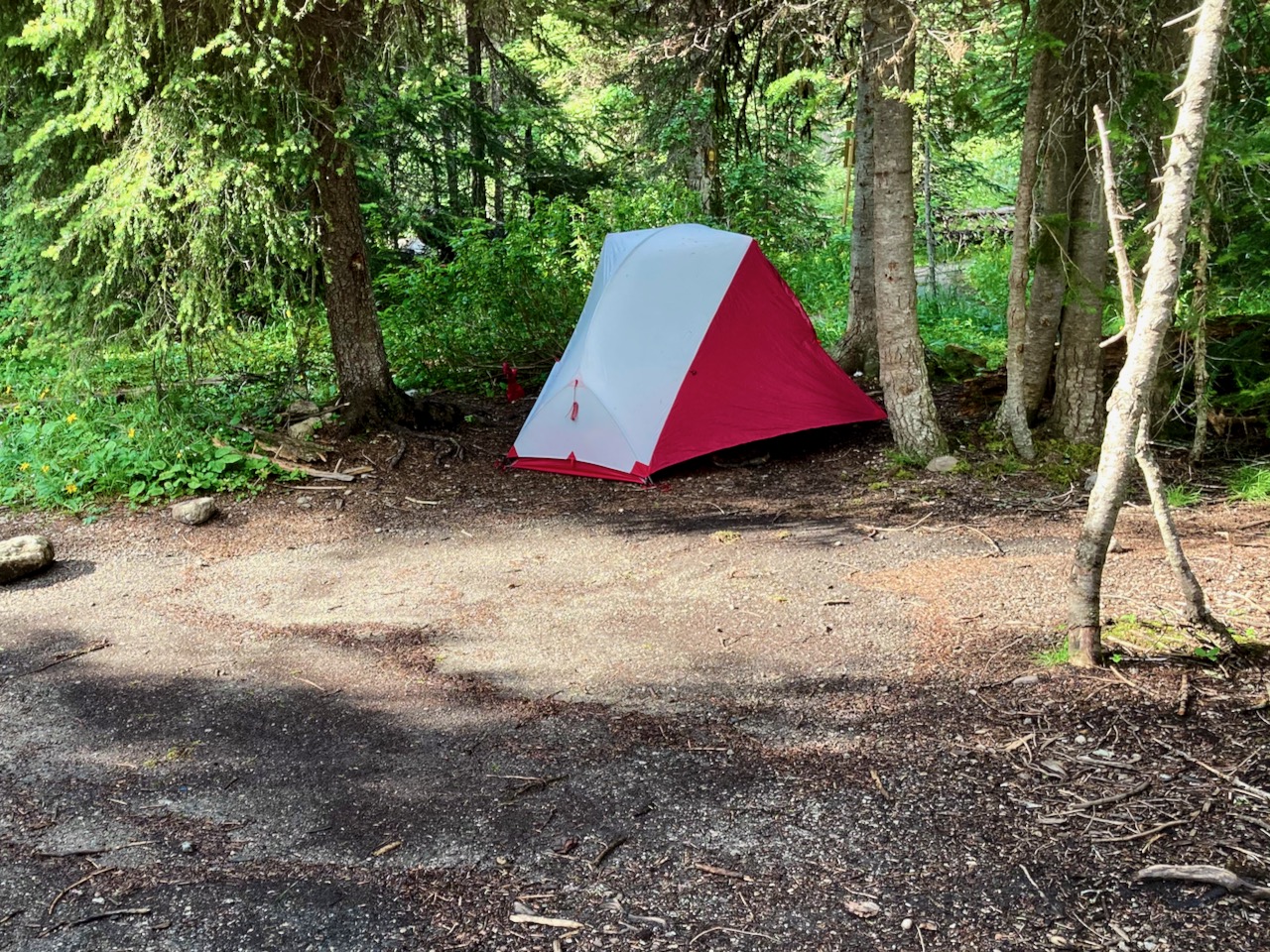
I was up early at Magog campground.
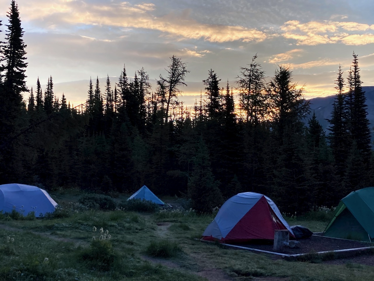
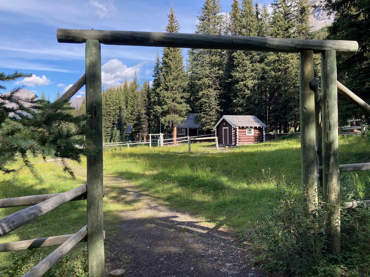
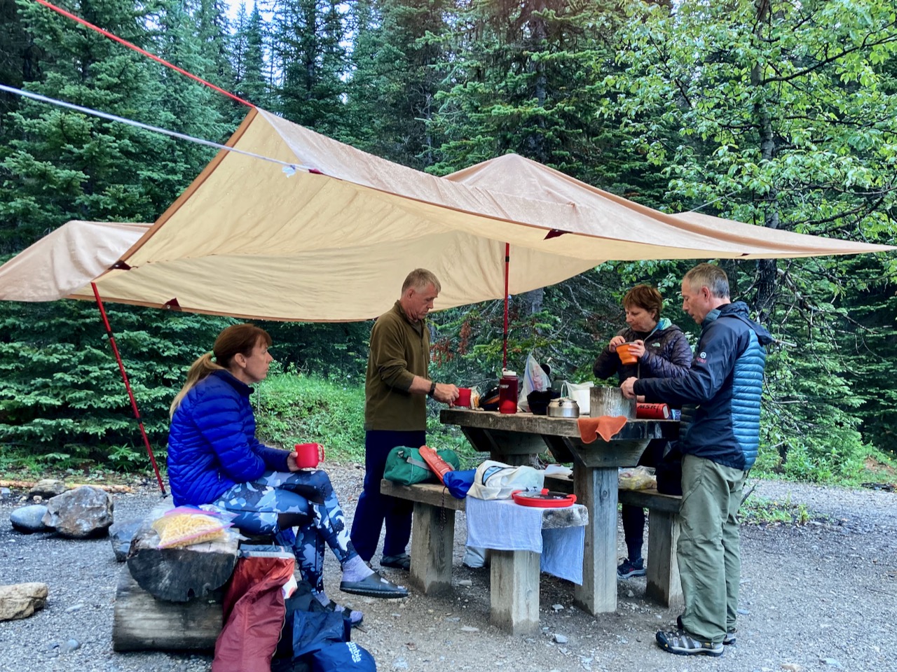
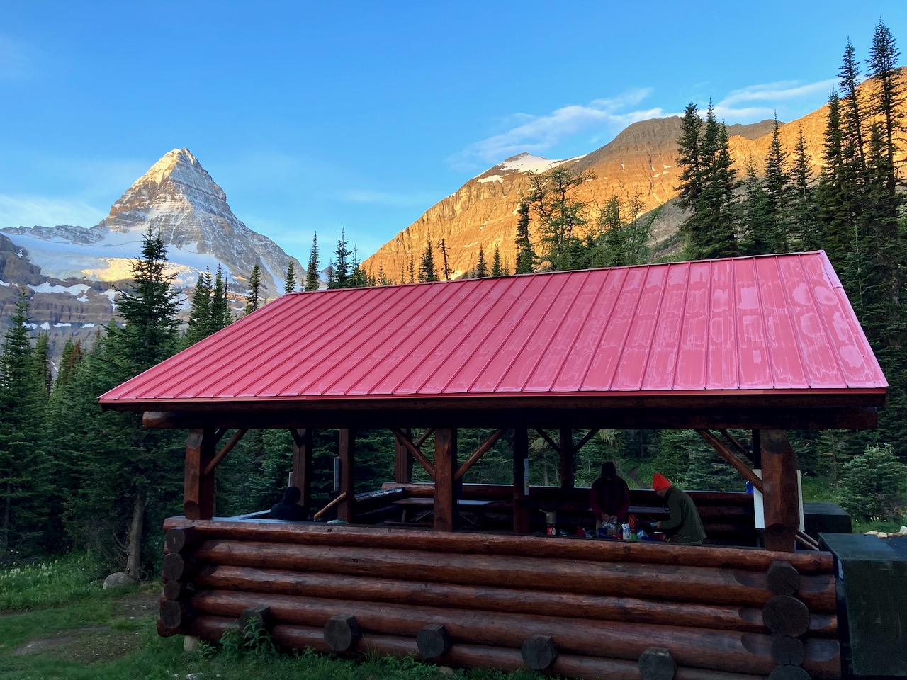
This was the first campground cook house I’d seen open since the COVID-19 shutdown.
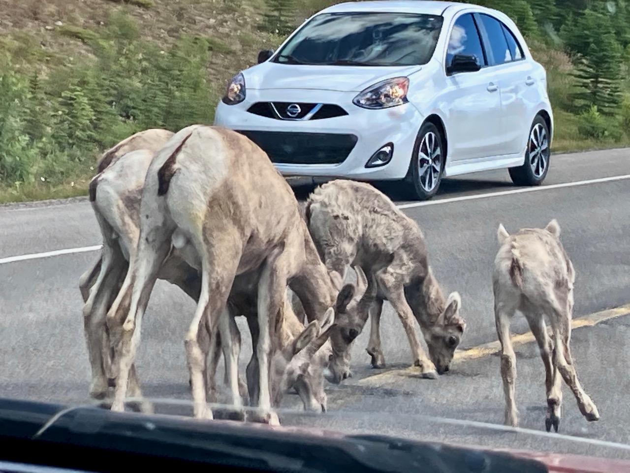
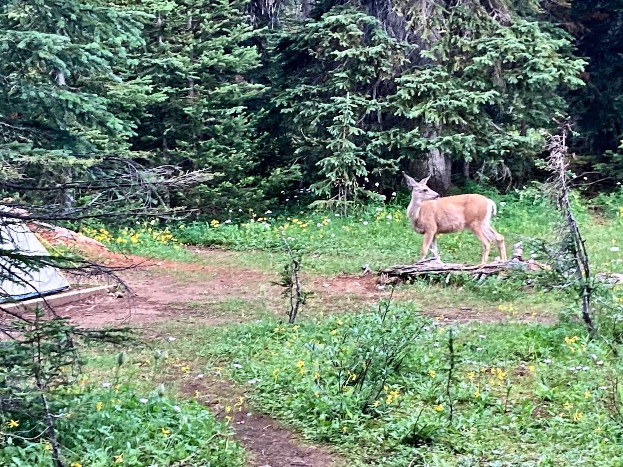
We had deer and elk hanging out. I assume they are looking for salt from hiker urine.

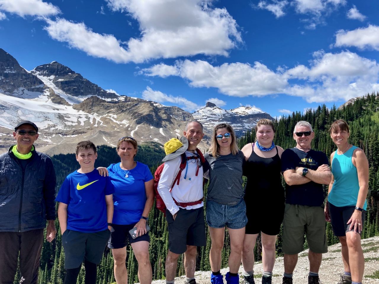
Not many do Windy Ridge from Magog as it’s a long day hike. We loved it.
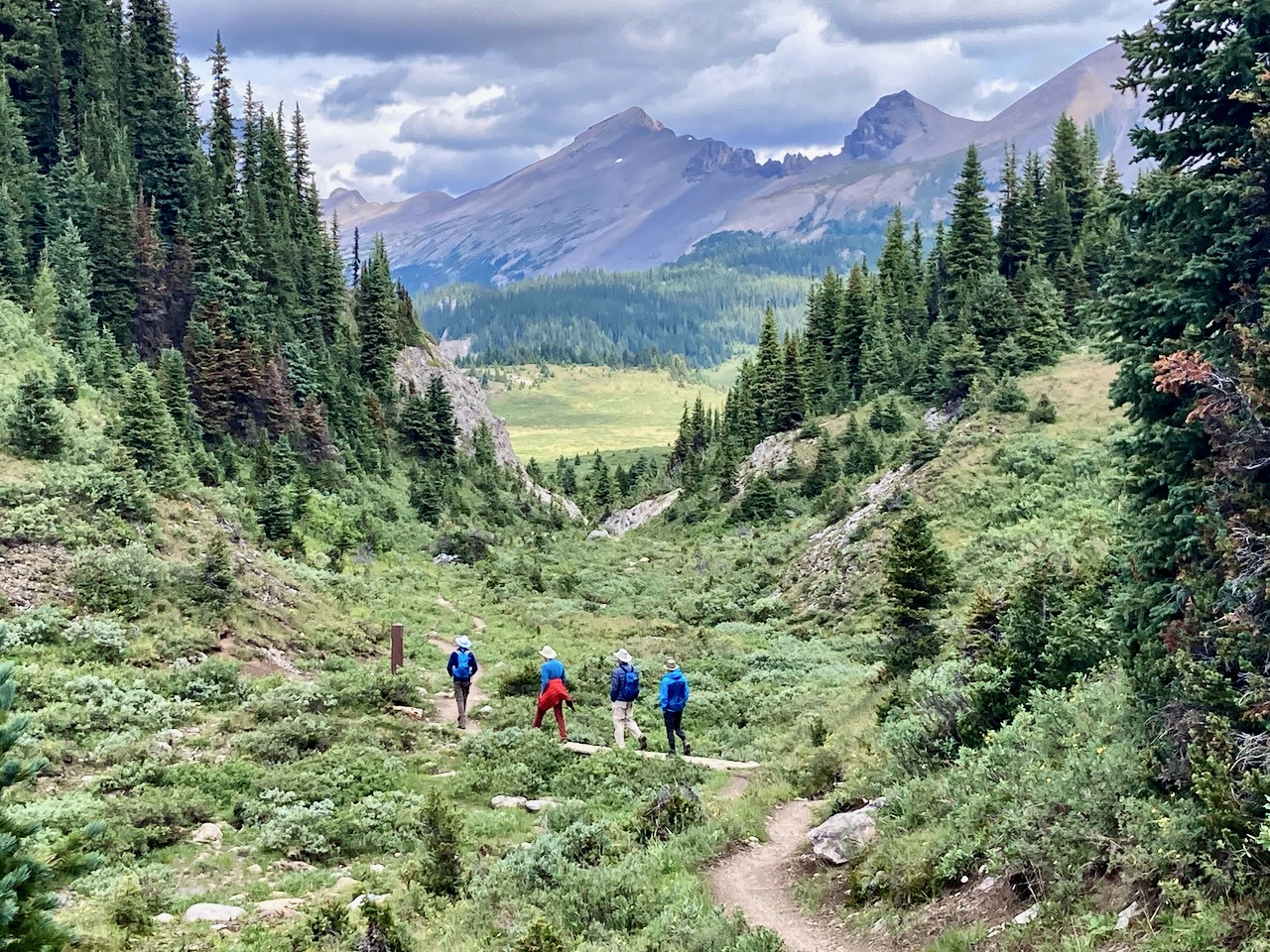
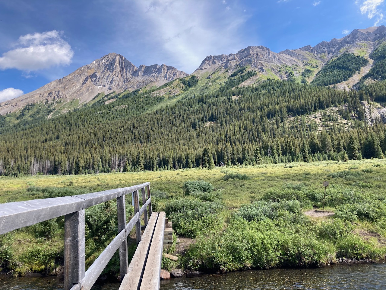
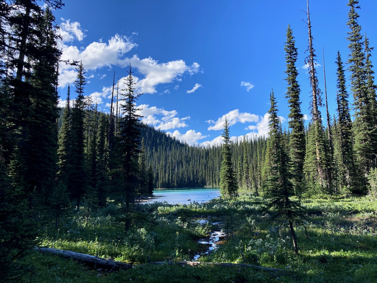
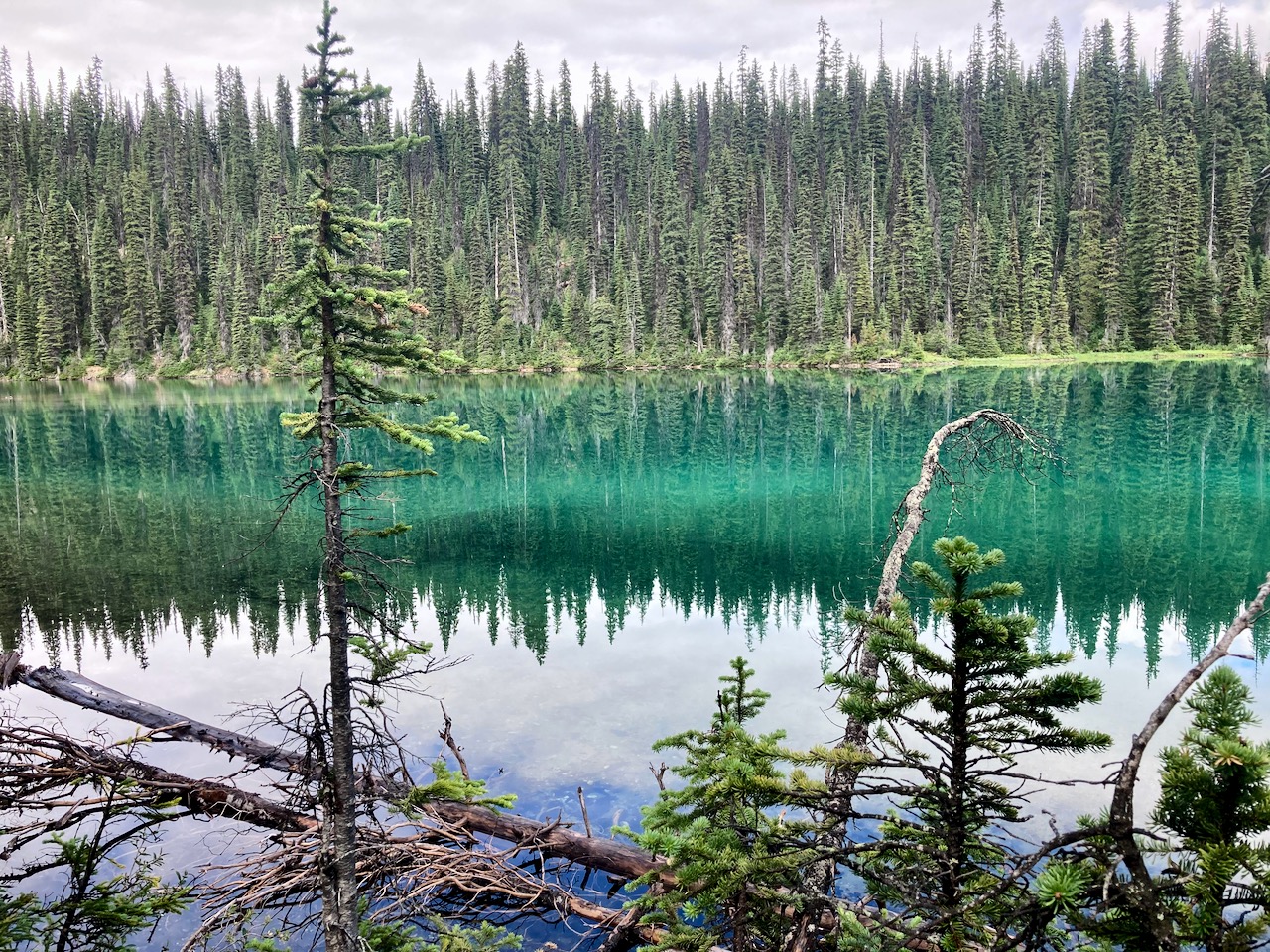
Alpine meadows. Quite flat.
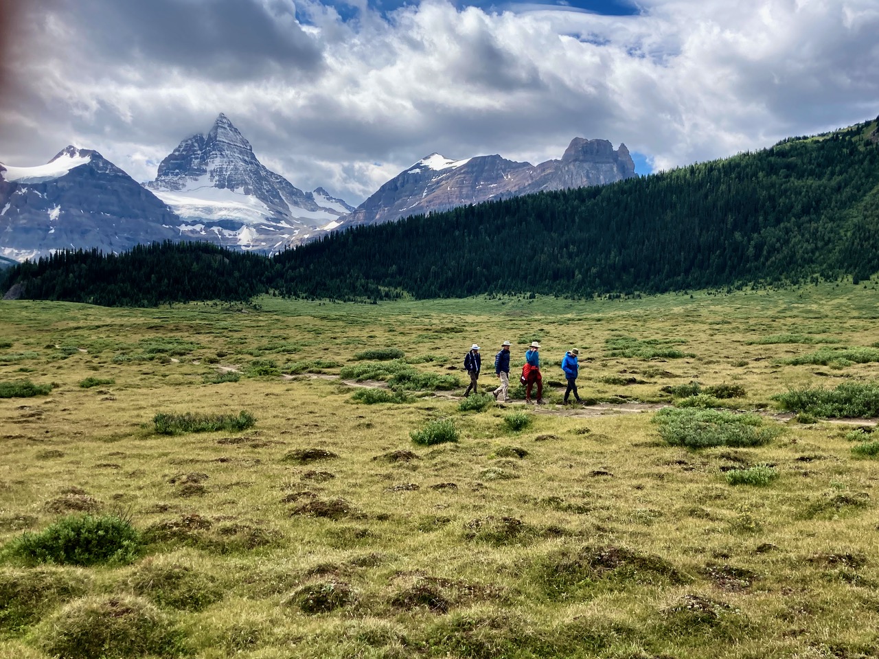
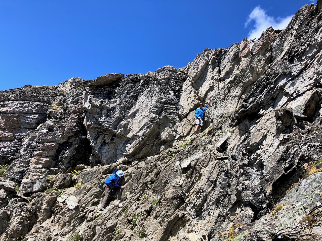
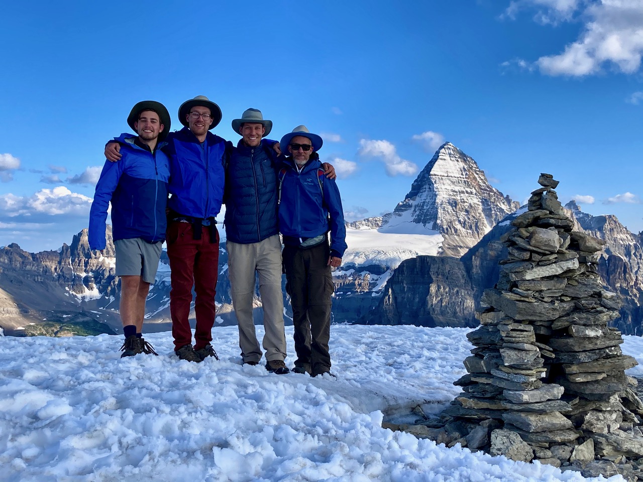
Windy Ridge looked pretty easy. None of us had been there before.
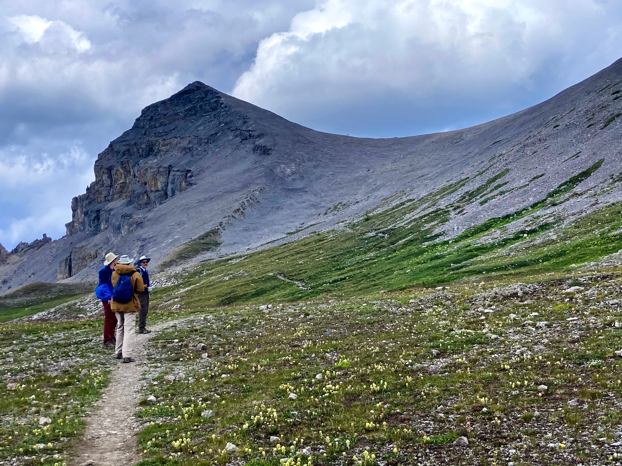

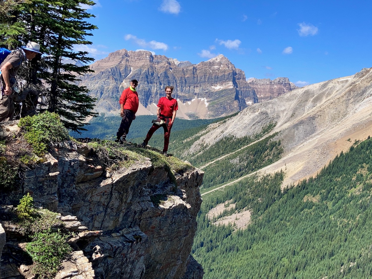
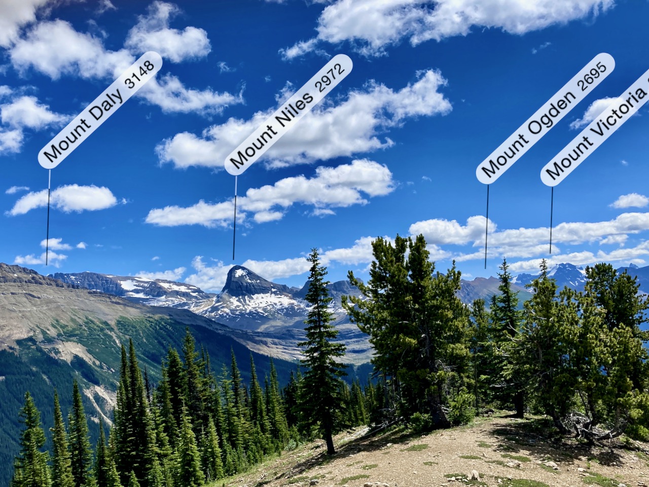
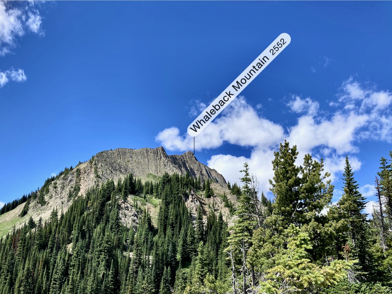
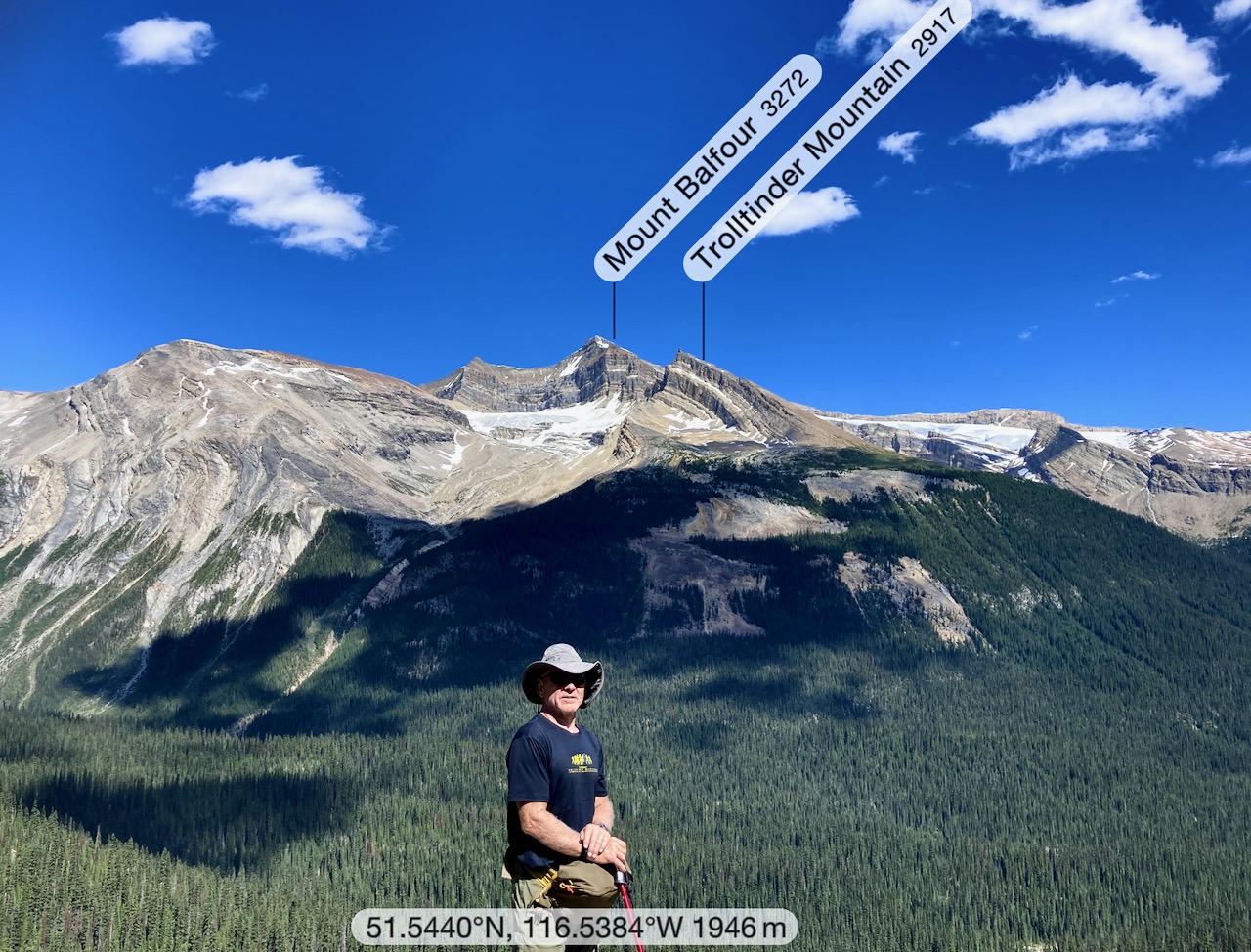
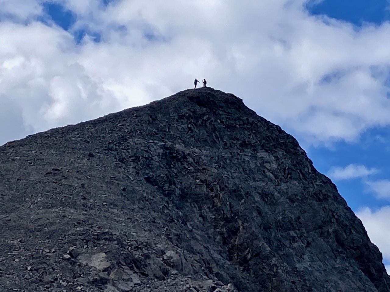
At the top we found a narrow ridge connecting a viewpoint.

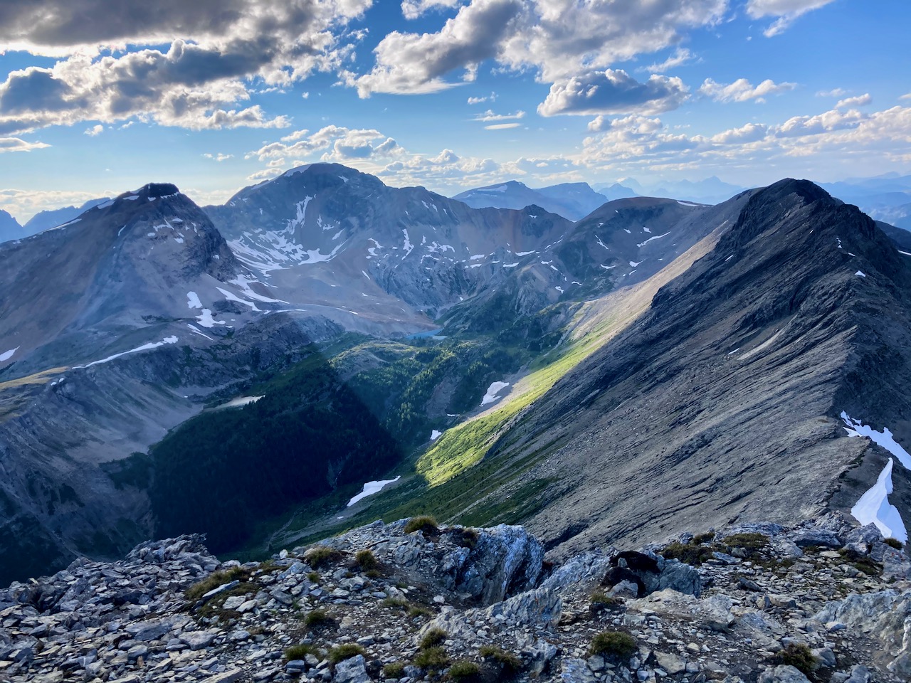
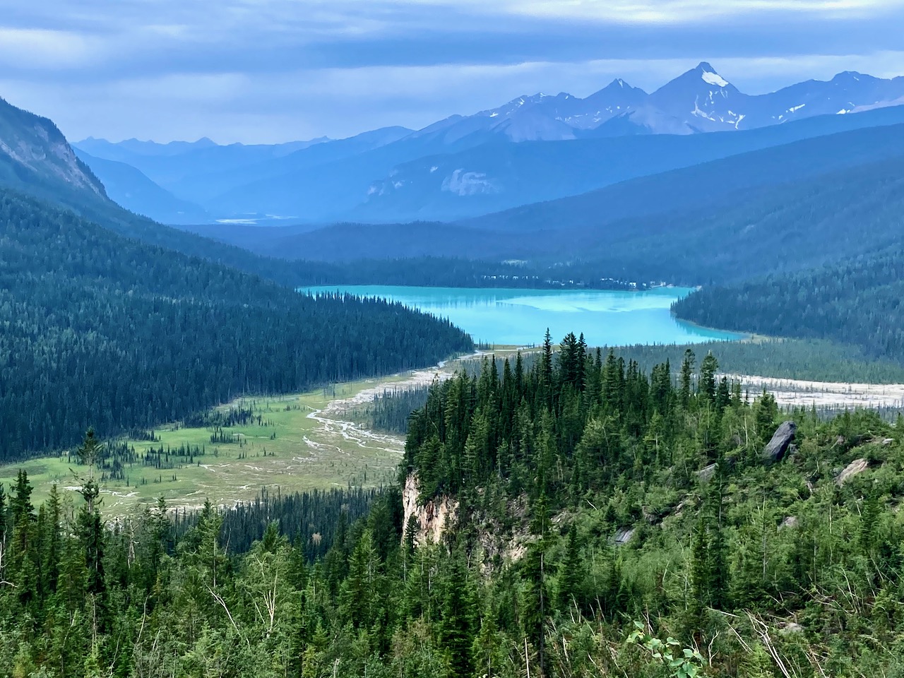
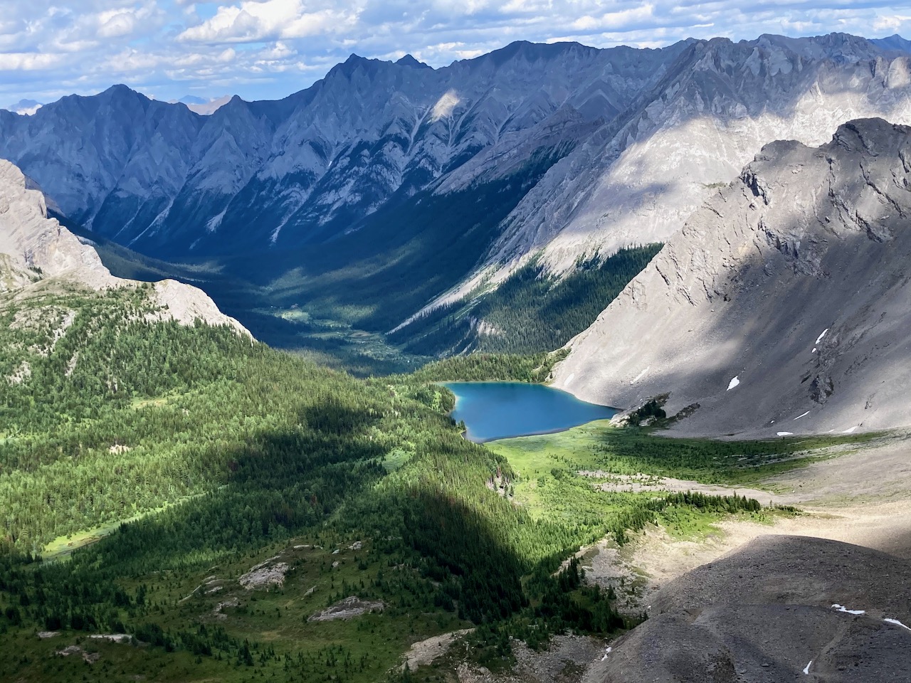
We had a view over the other side we’d not seen yet.

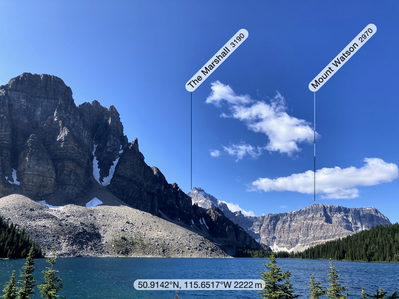
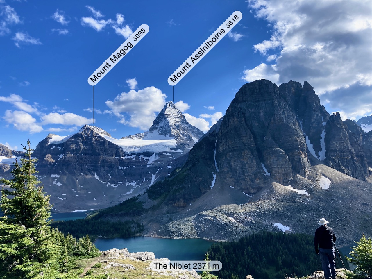
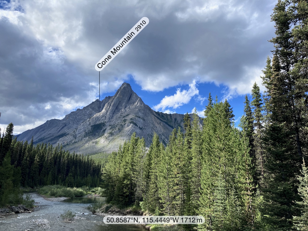
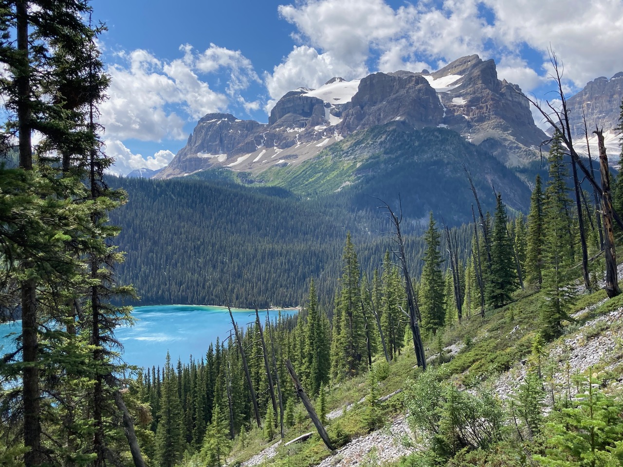
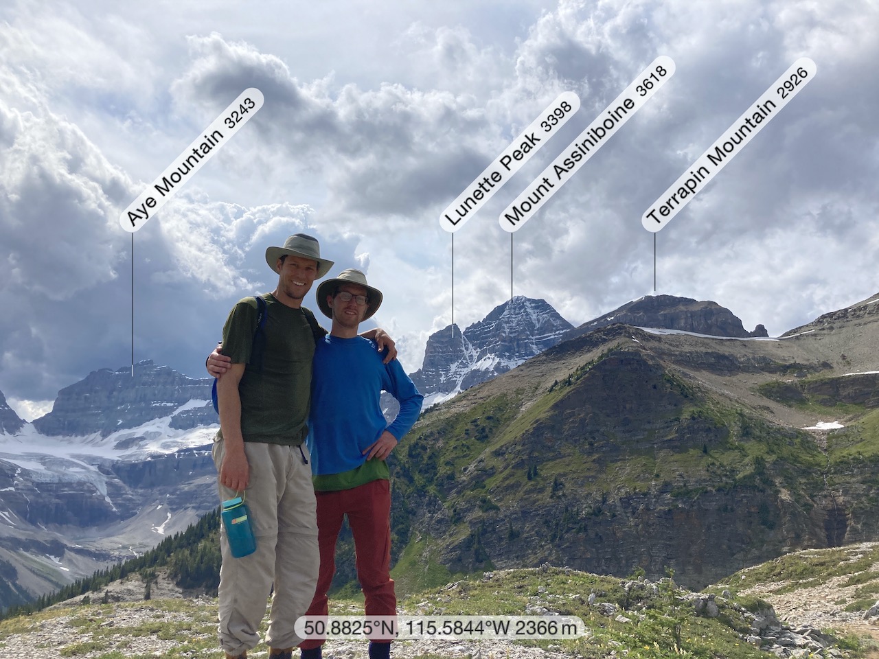
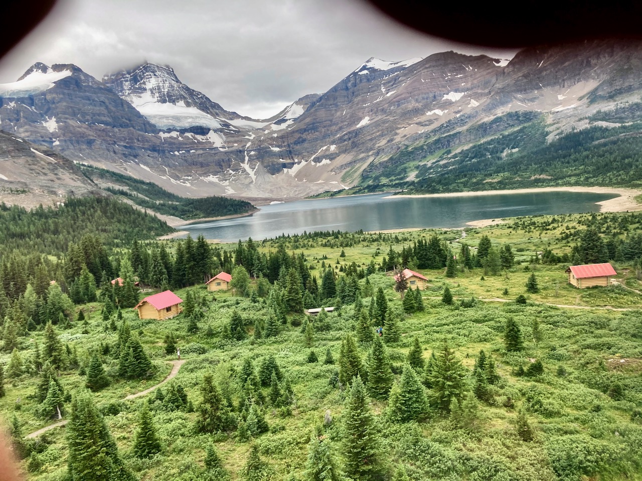
Here’s the view back to Assiniboine.

Henry and Sam climbed up on to a sketchy nearby peak.
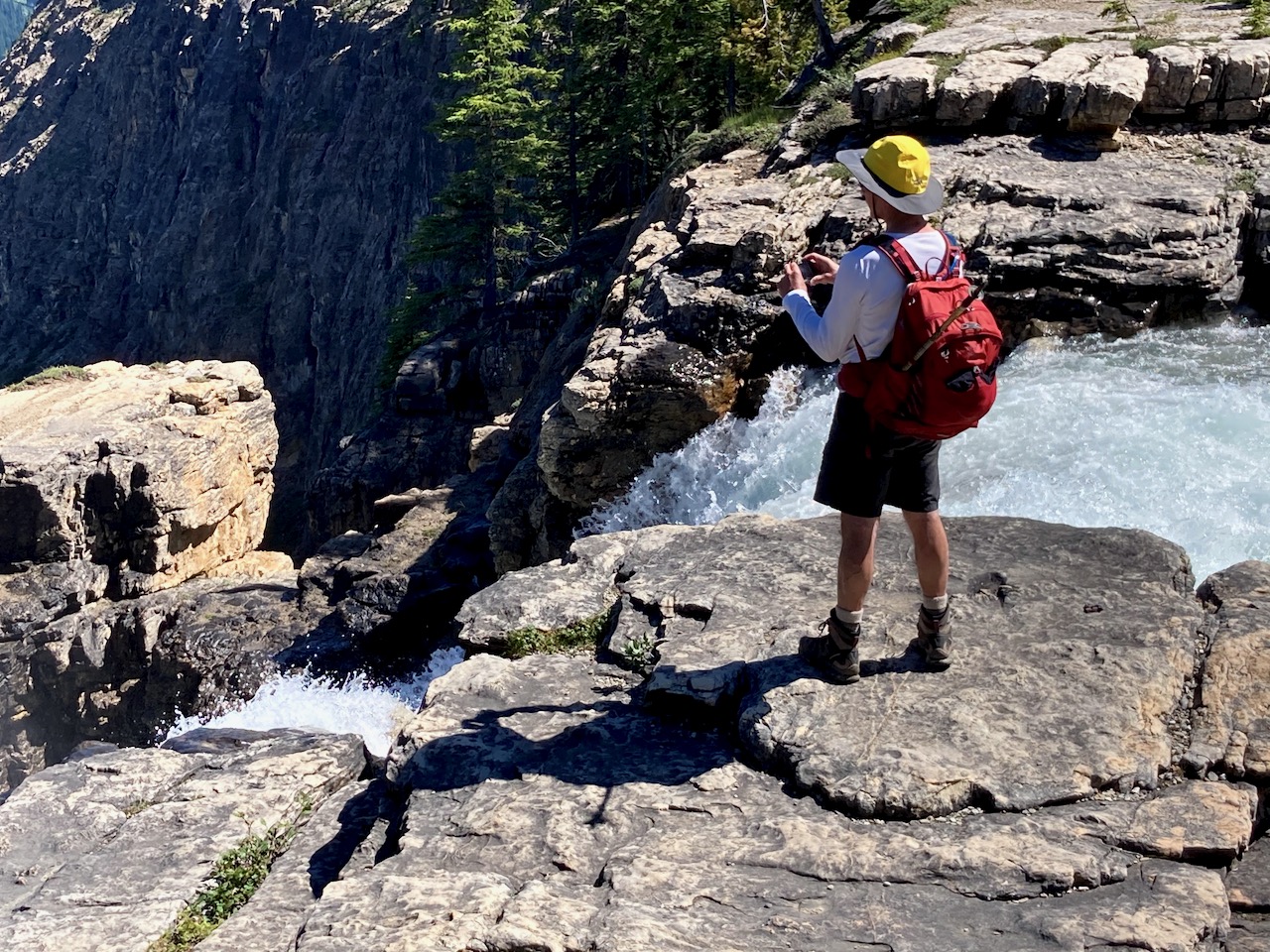
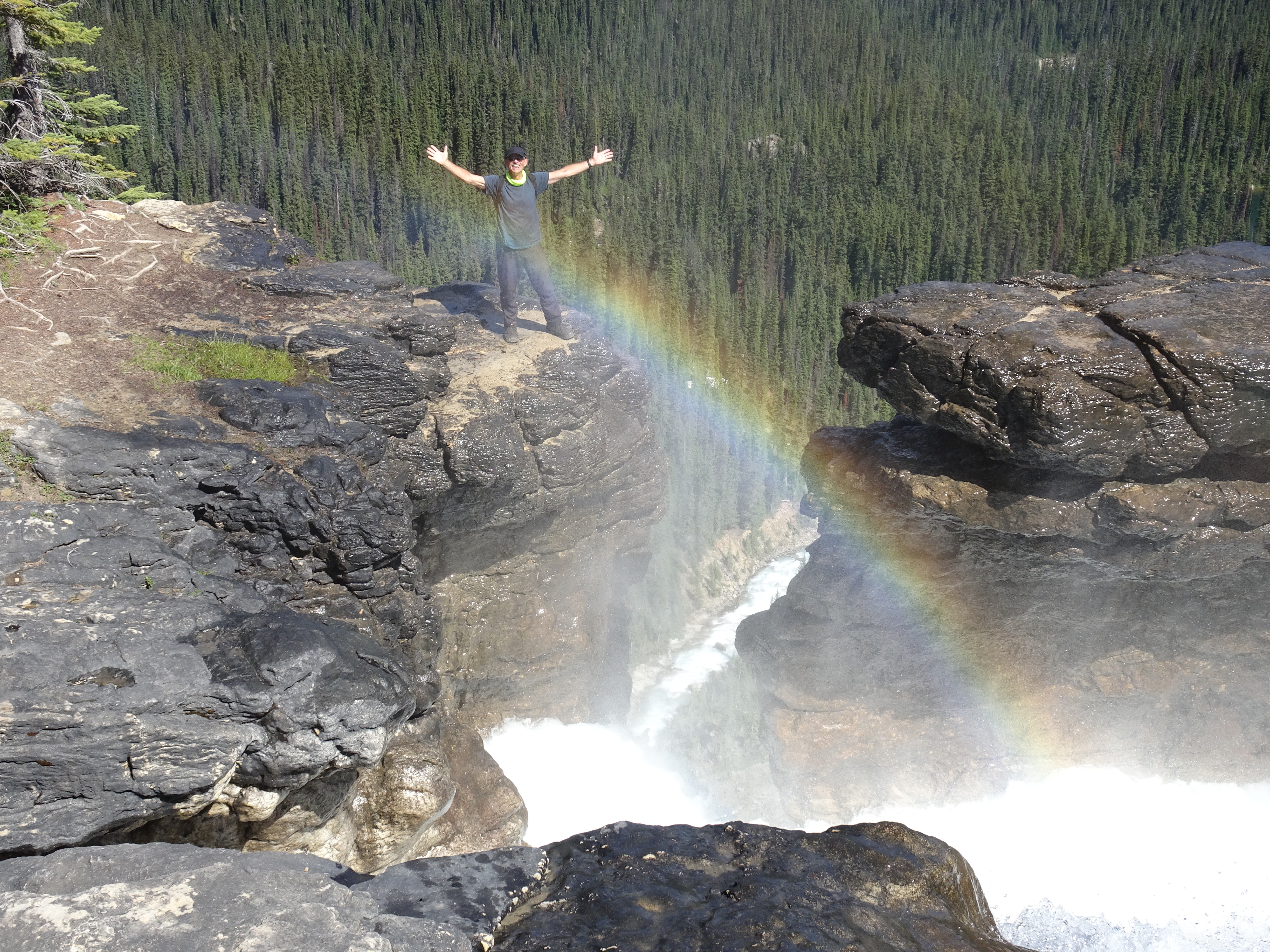
I messed around on the Cliff edge.

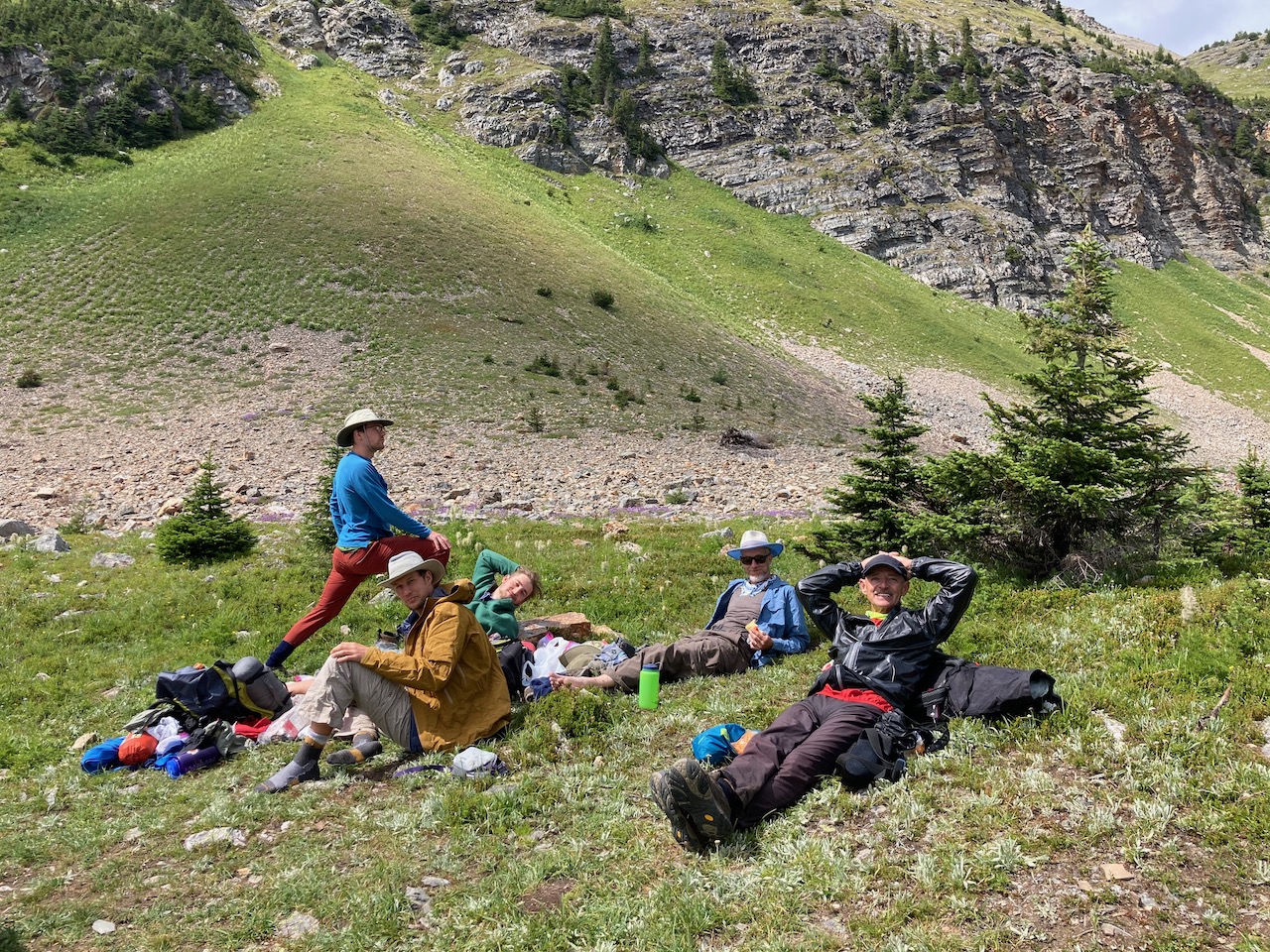
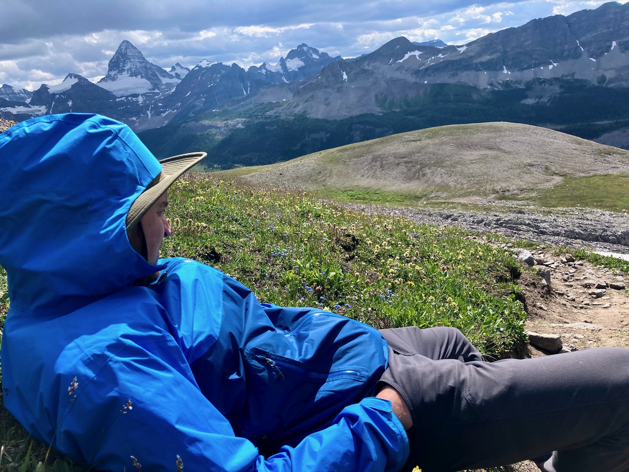
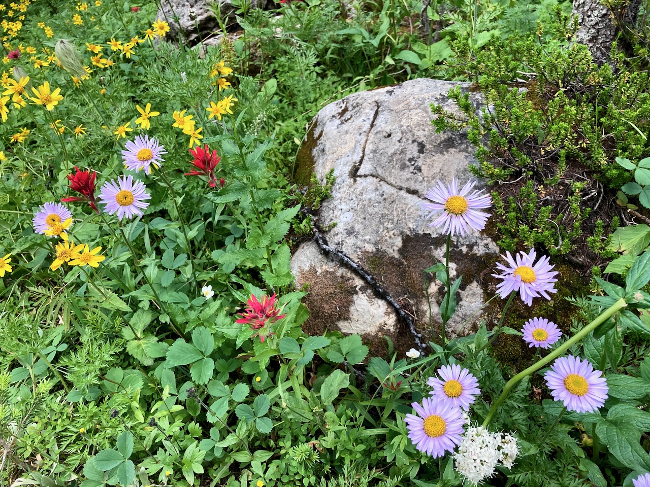
Jack’s knee was bothering him. He sat back and enjoyed the wild flowers.
Click PLAY or watch a short video of the adventure on YouTube.
NEXT MORNING we flew out to Shark by Helicopter. Cost about CAD $185 one way.
The chopper only flies 3 days / week. Flying out fit our work schedules better. And hiking uphill is easier on the knees for many.
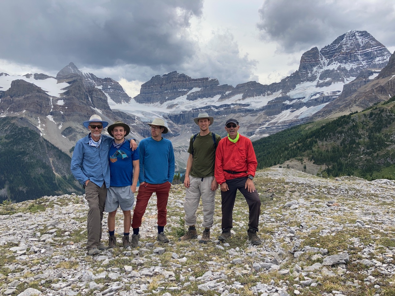
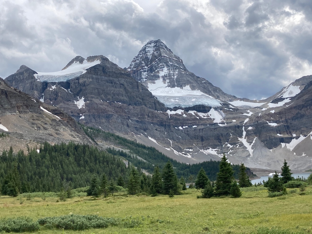
Here’s our last look at the big mountain.
Great trip!