Trip report by BestHike editor Rick McCharles.
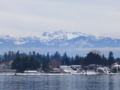
Mount Arrowsmith 1,819 m (5,968 ft) is the most prominent peak seen from my parents home in Vancouver Island.
It’s close to Port Alberni, B.C.
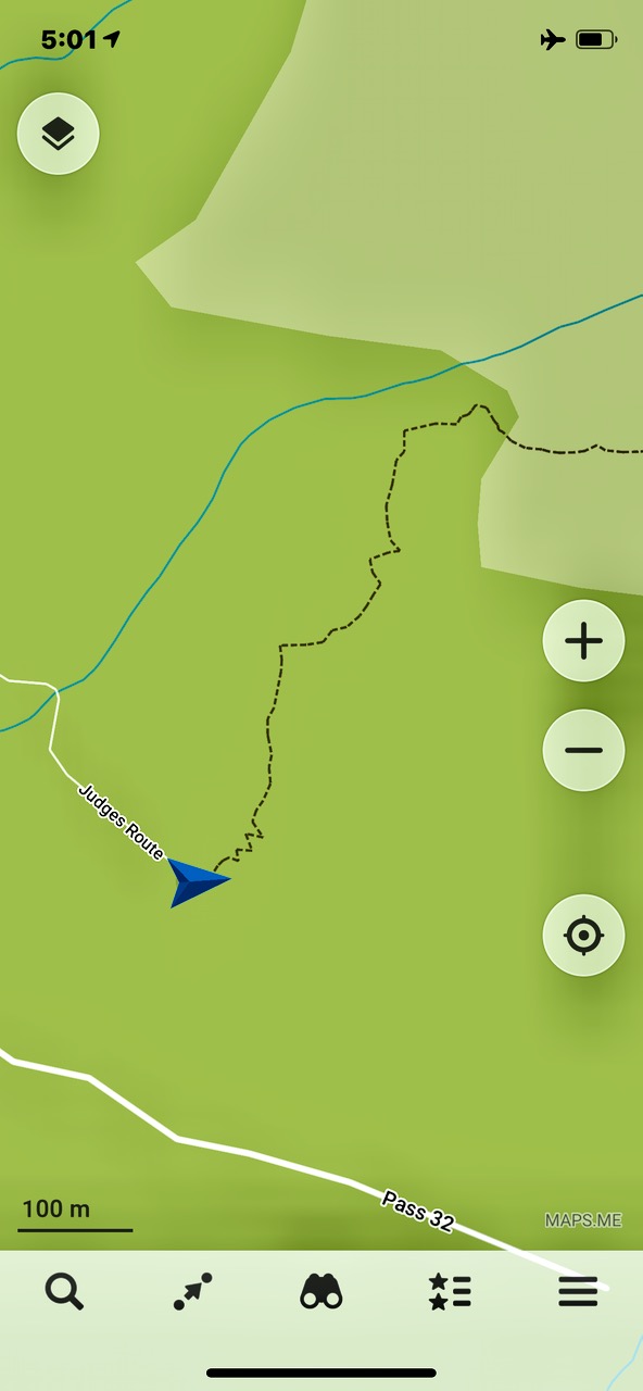
The most popular hike to the top is called Judges Route. Details.
- 6-7 km (4 miles) roundtrip
- elevation gain 1,000m (3,280ft)
Finding the trailhead can be confusing. Google Maps has it wrong, for example.
I used the free Maps.me app — that worked.
It’s 4-6 hours return. Challenging. Some exposure. A bit of scrambling. Some route finding. I was briefly lost 3 times.
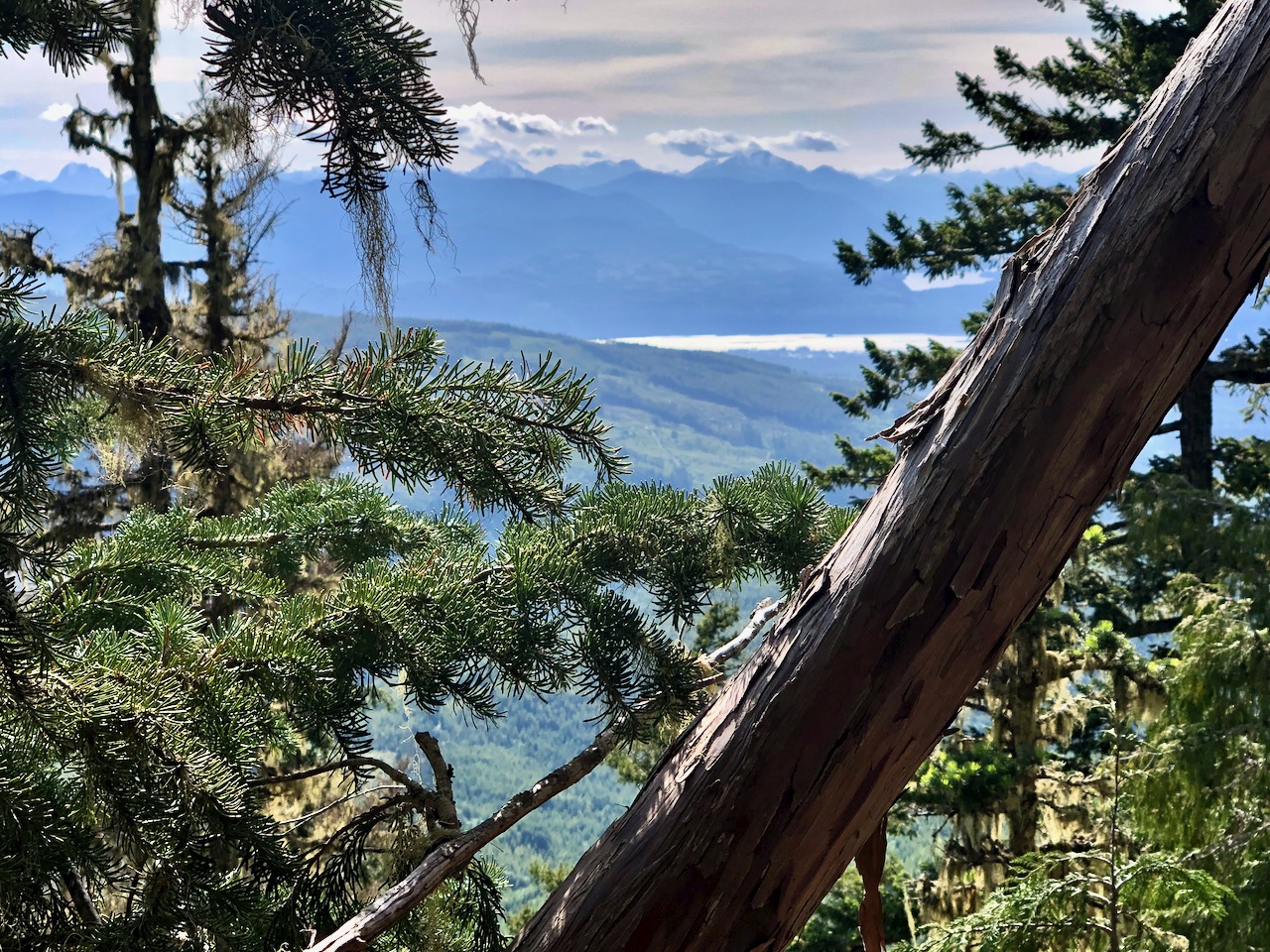
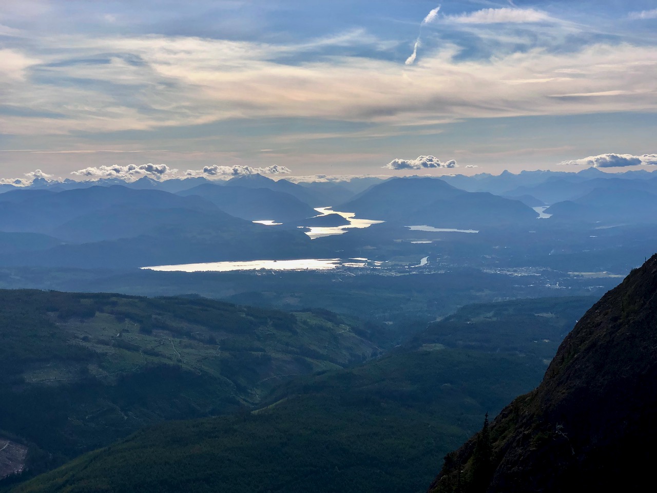
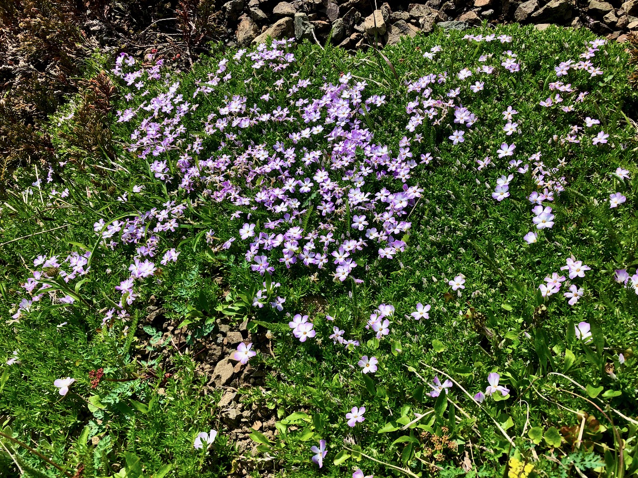
There are some views on the way up.
On June 25th, 2020 I didn’t have much snow.
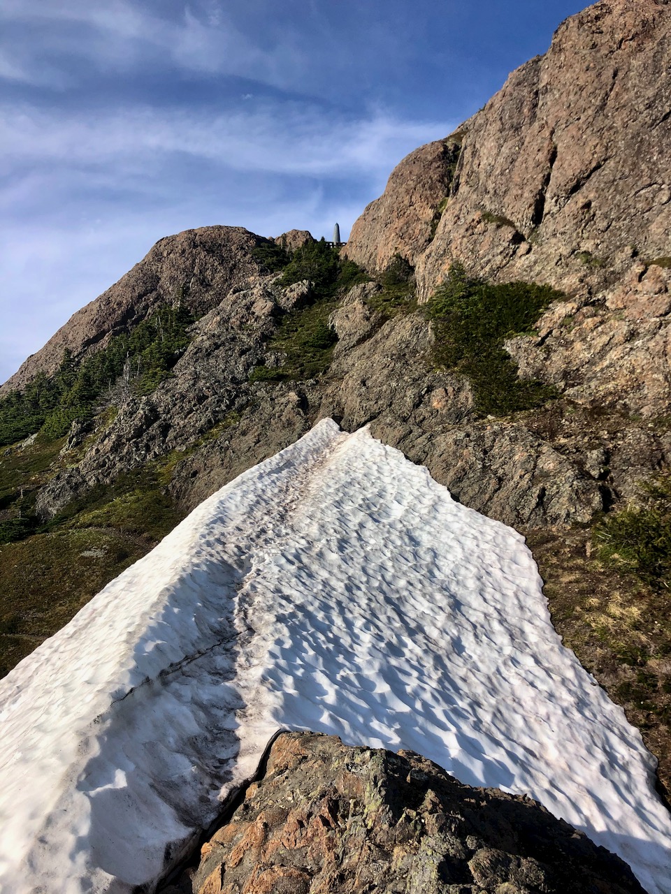
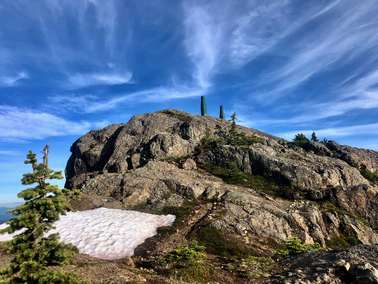
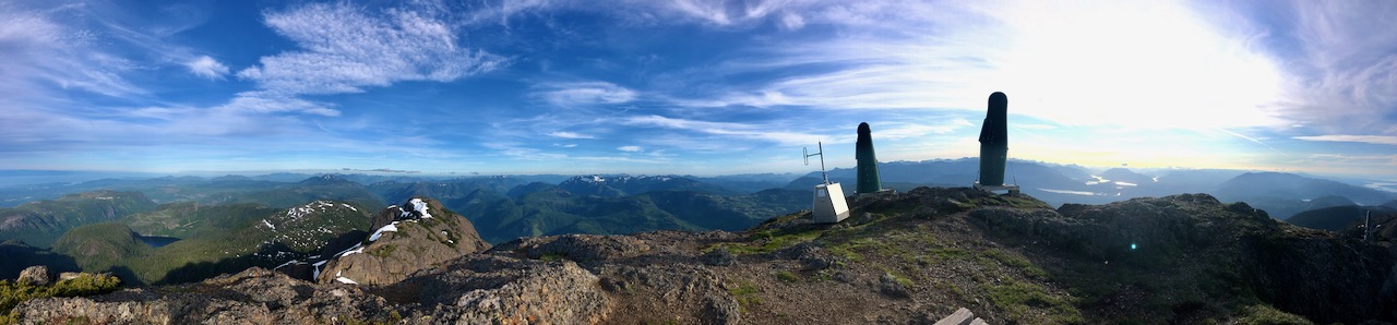
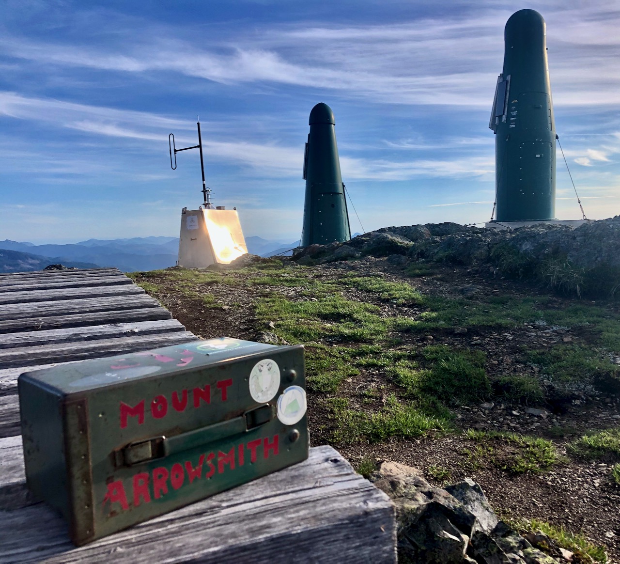
The summit is interesting.
From the top you can see from Port Alberni to Mt. Baker in Washington State.
I was inspired to try one of my rare panoramas.
Great day.
Starting up at 4pm I was last hiker on the mountain.