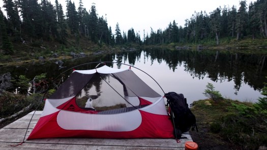
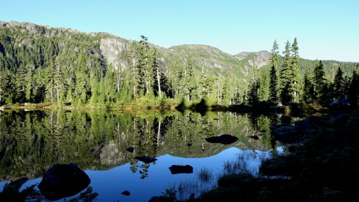
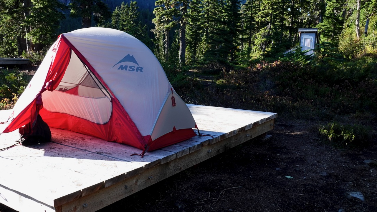
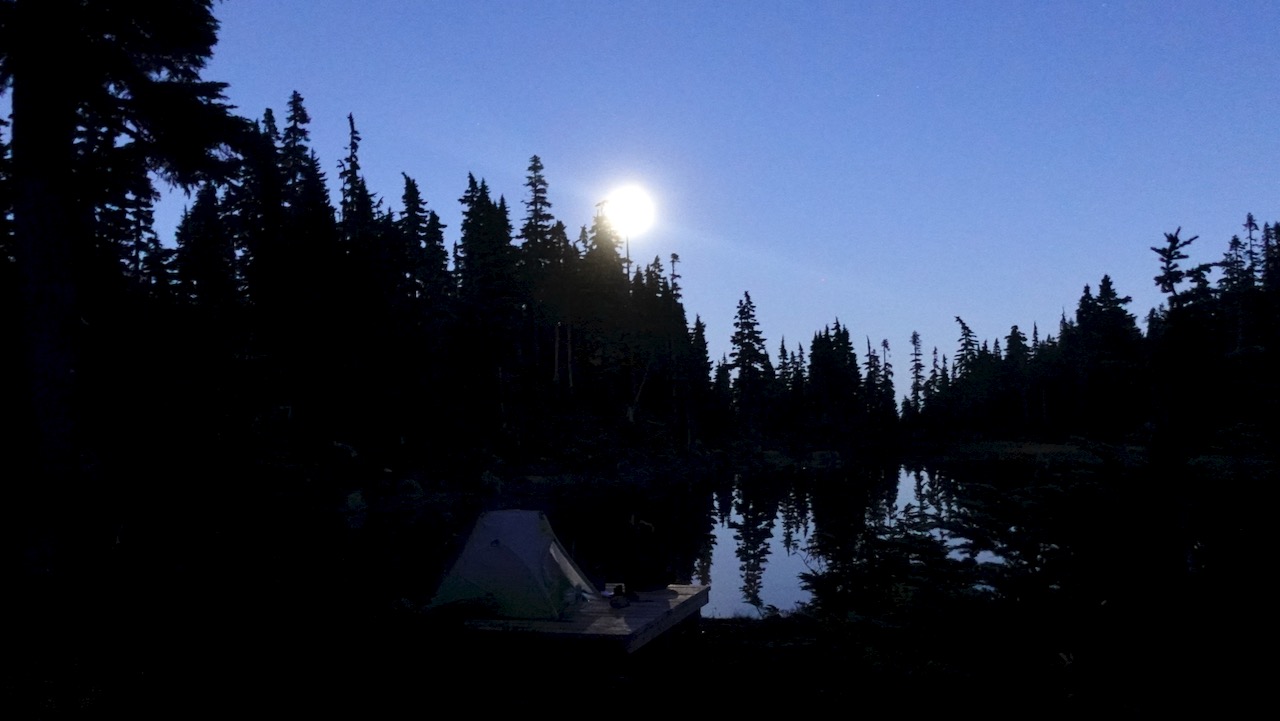
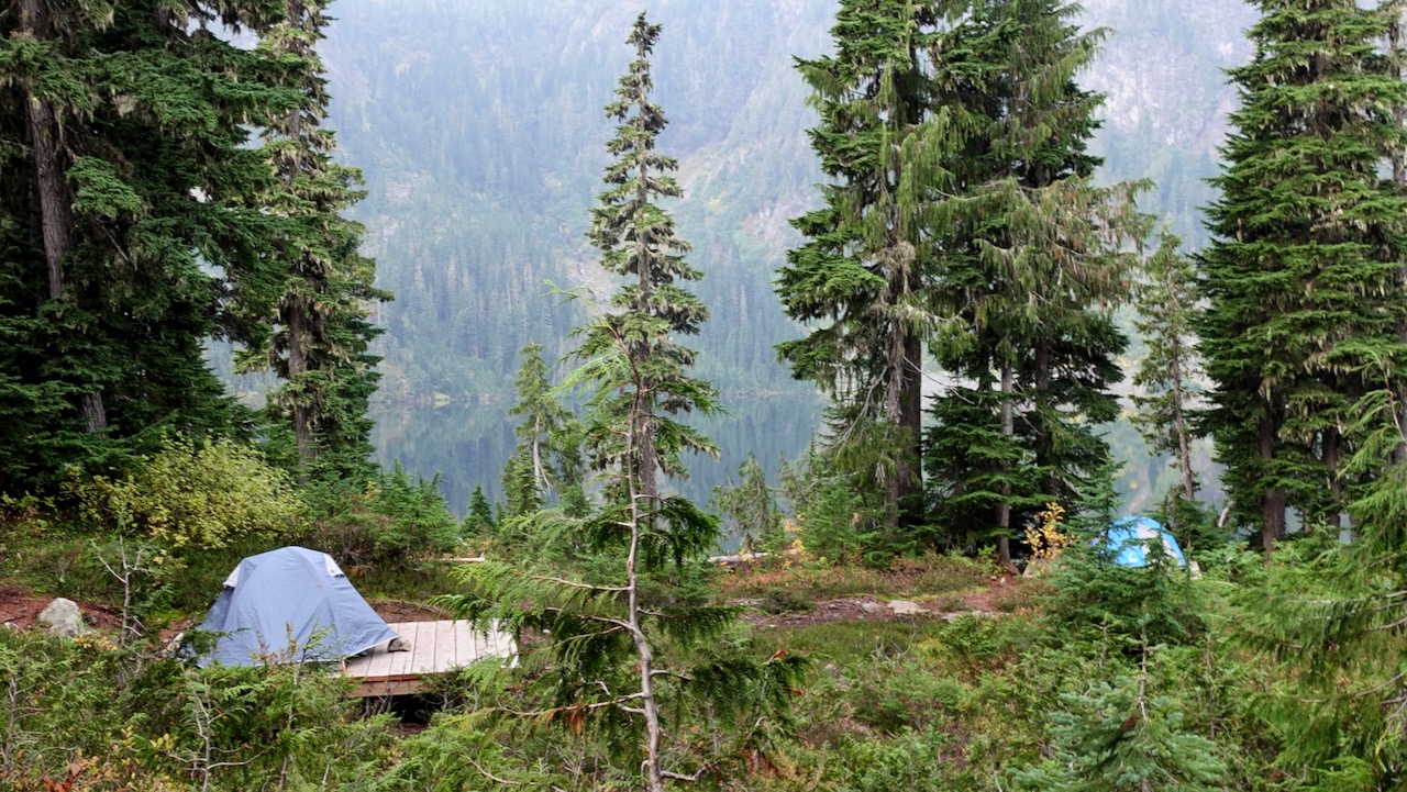
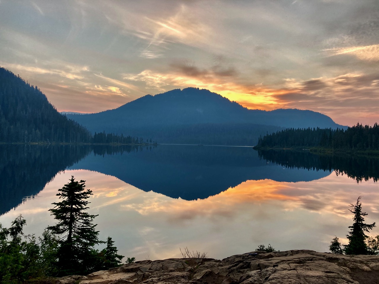
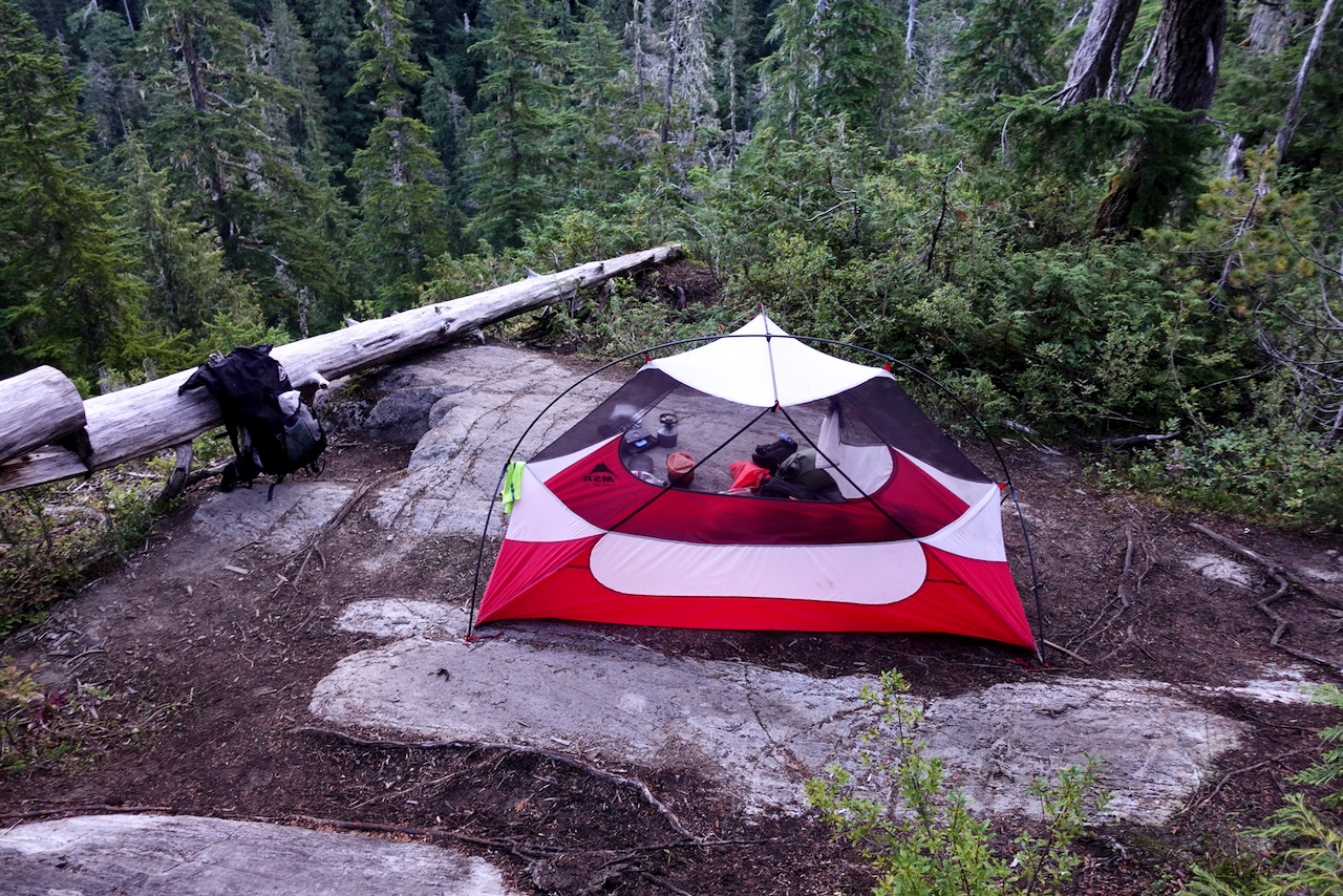
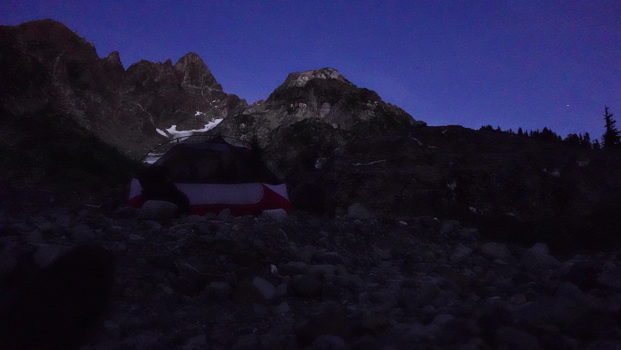
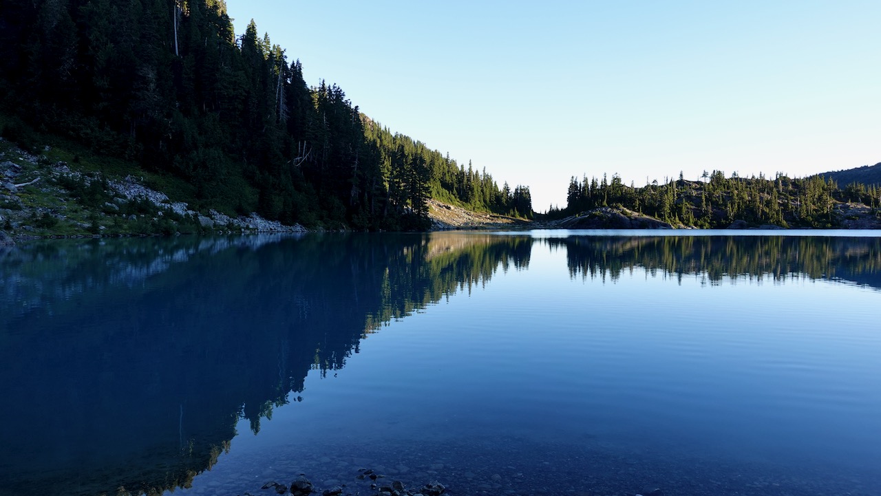
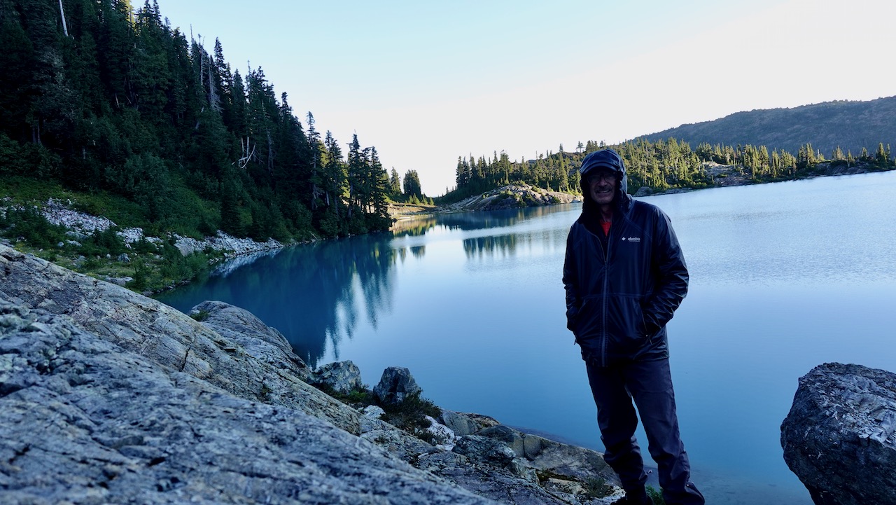
I camped 3 nights at Circlet Lake altogether. Lovely.
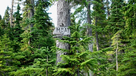
From Circlet it’s not far to the Castlecrag trail marked in orange on the map. Look for the sign to Moat Lake.
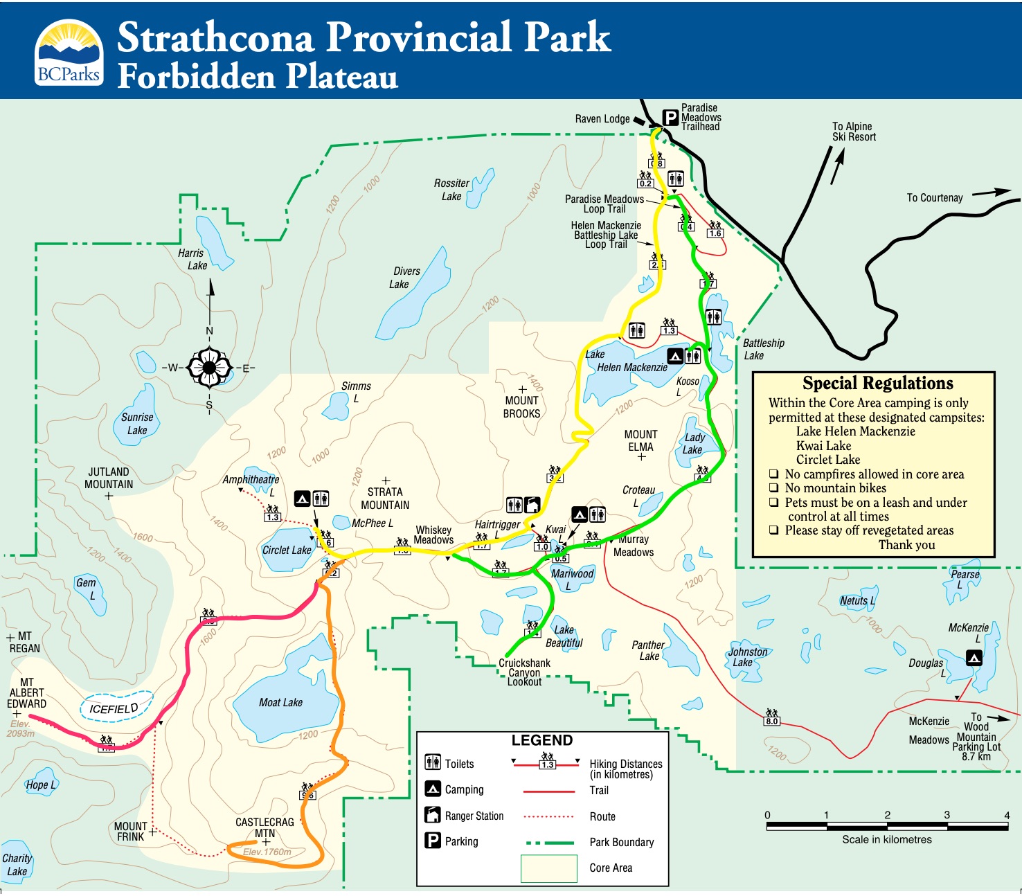
Click for LARGER version.
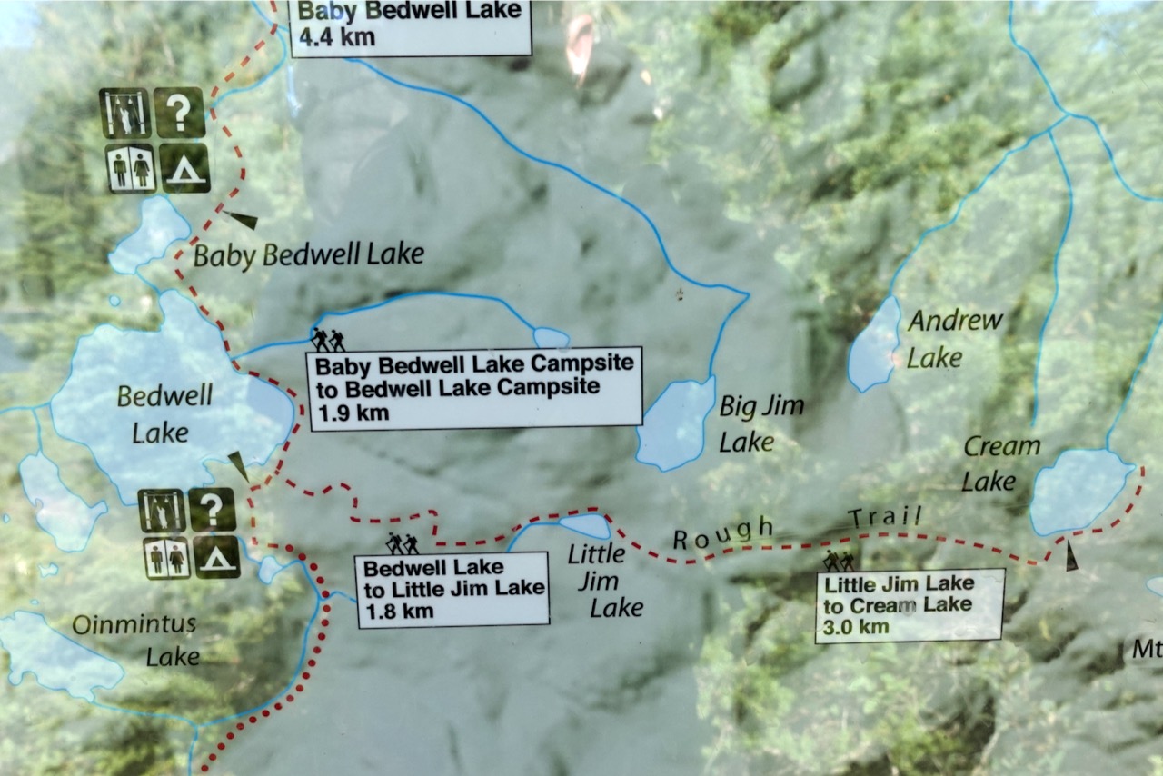
I hiked the route marked in orange. Here’s the original Park map online.
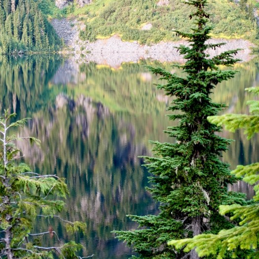
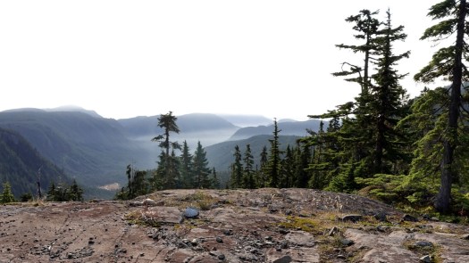
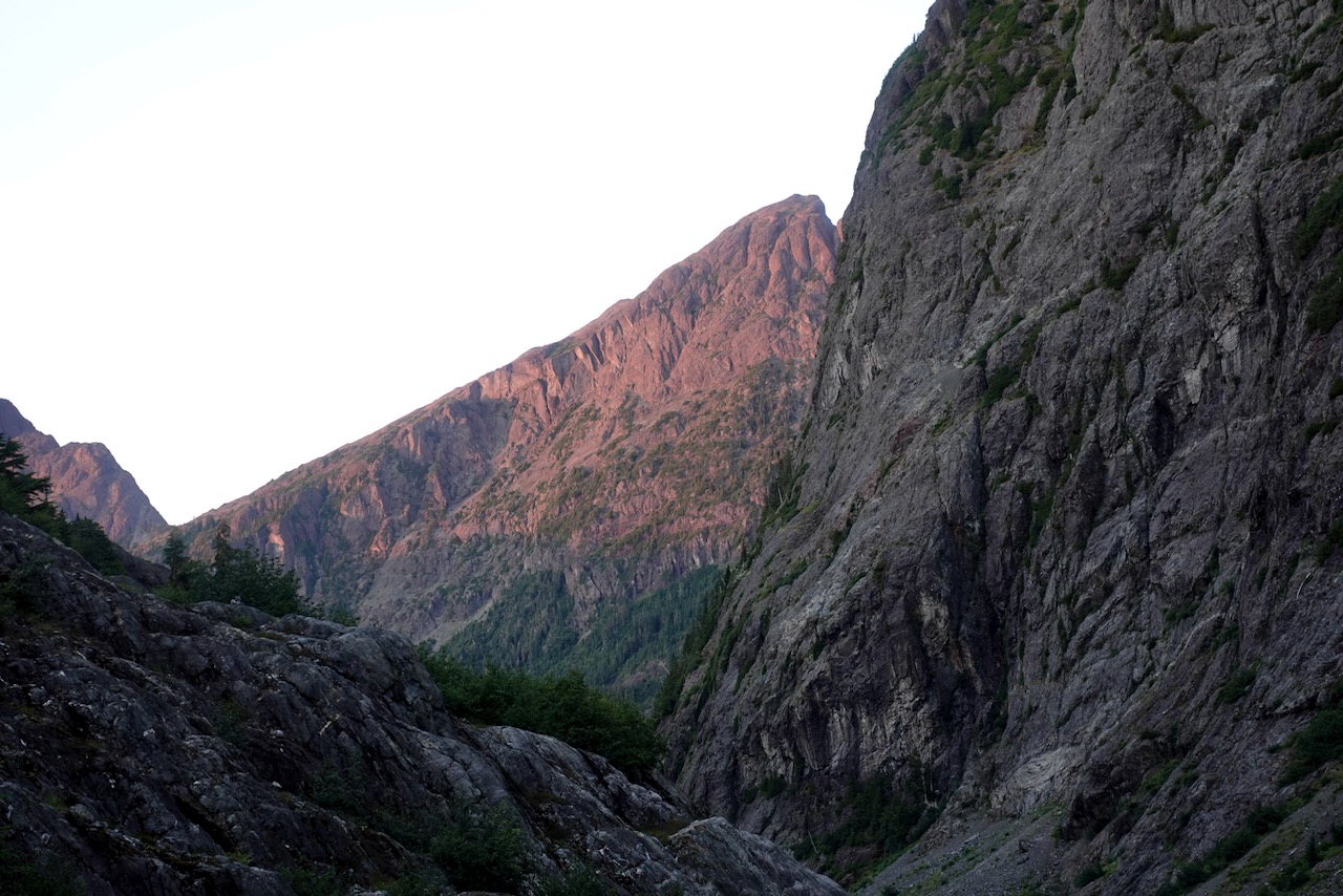
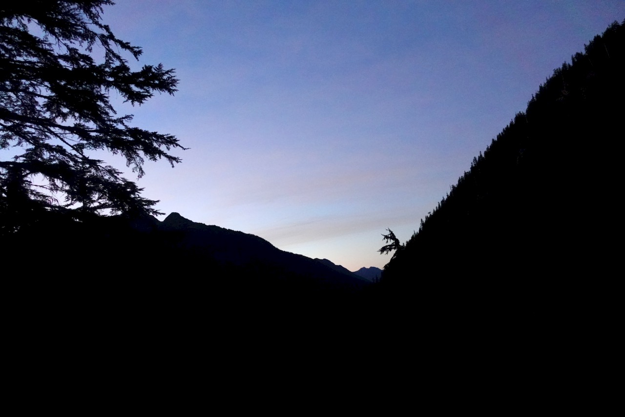
This was a foggy and somewhat hazy day.
But plenty clear enough to see where I was headed.
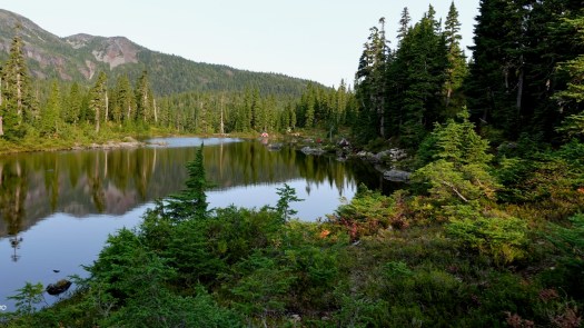
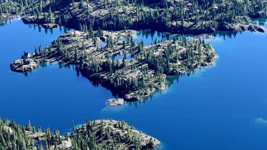
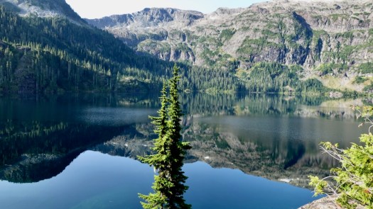
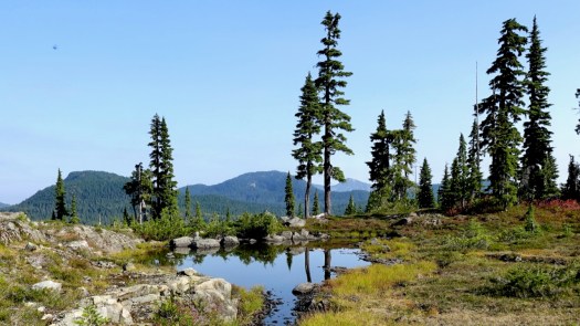
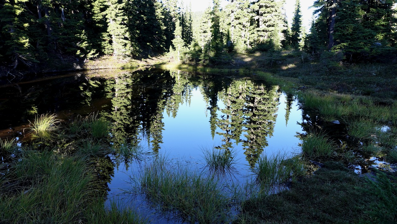
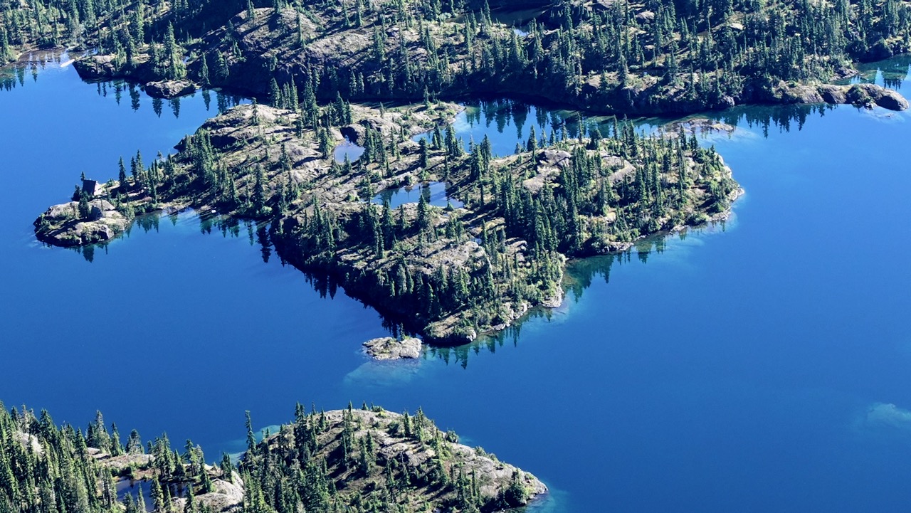
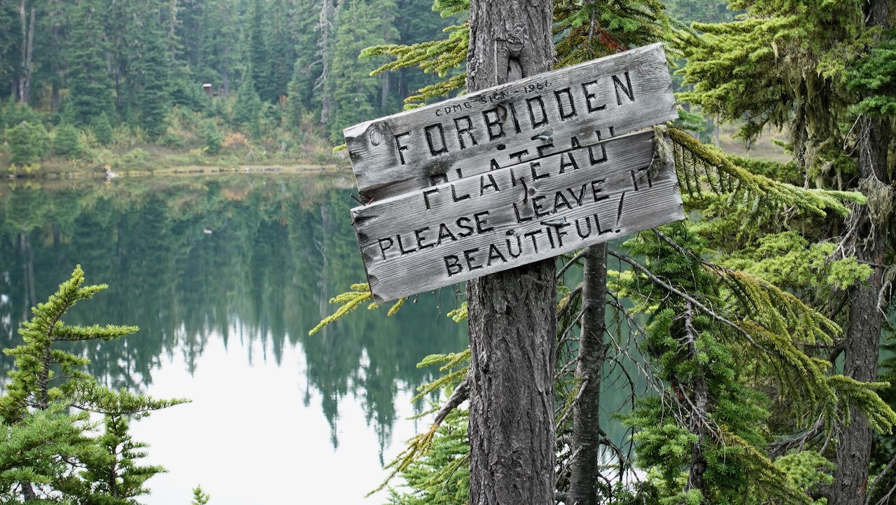
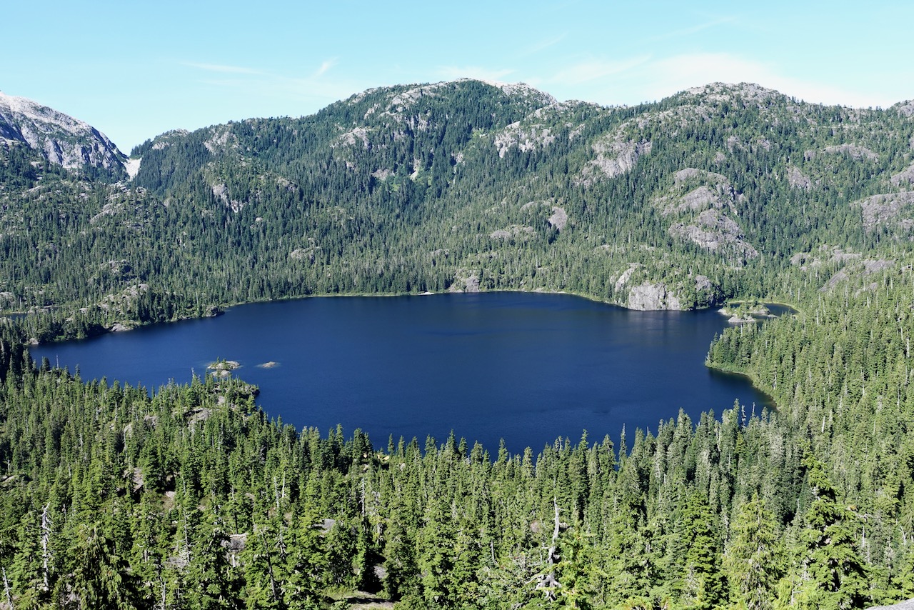
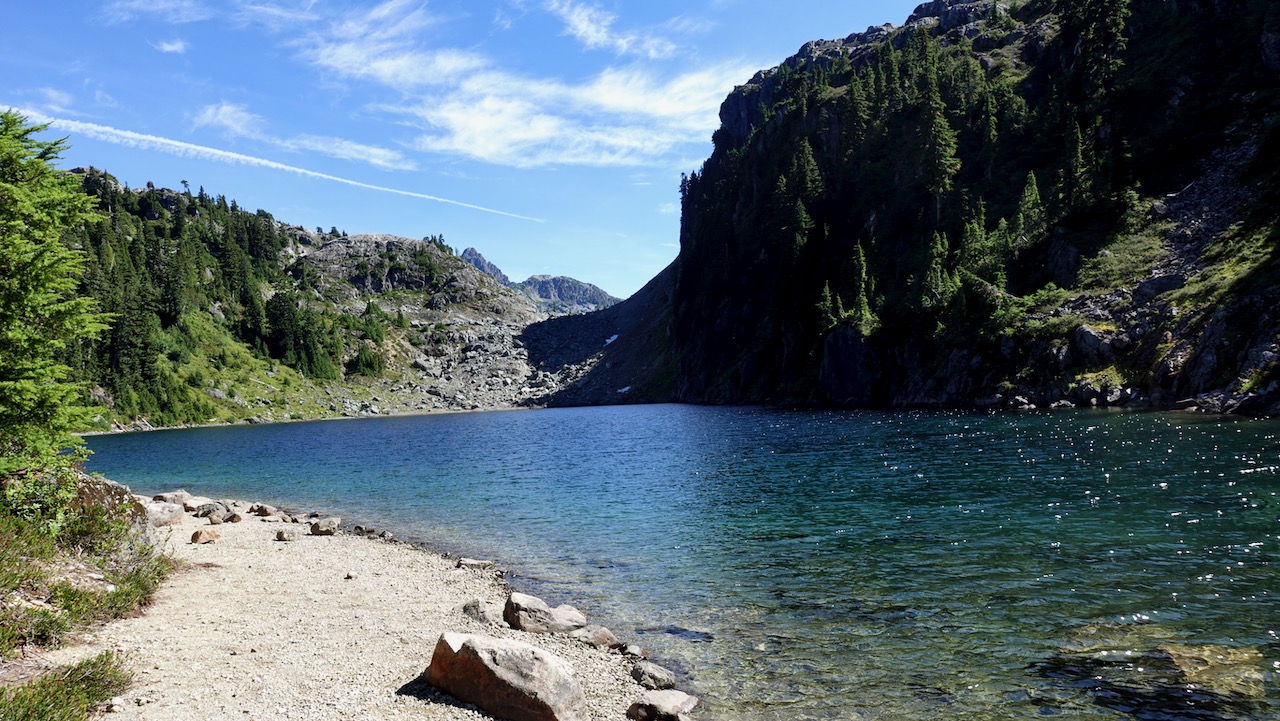
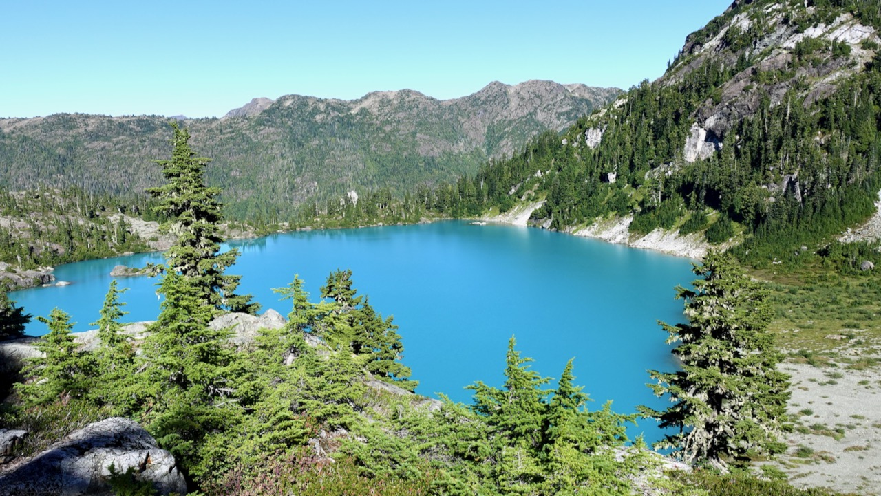
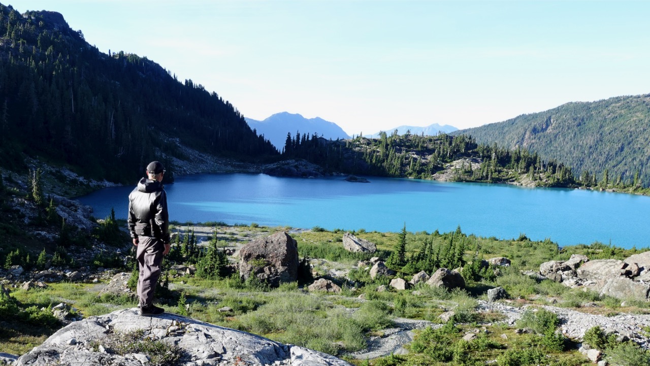
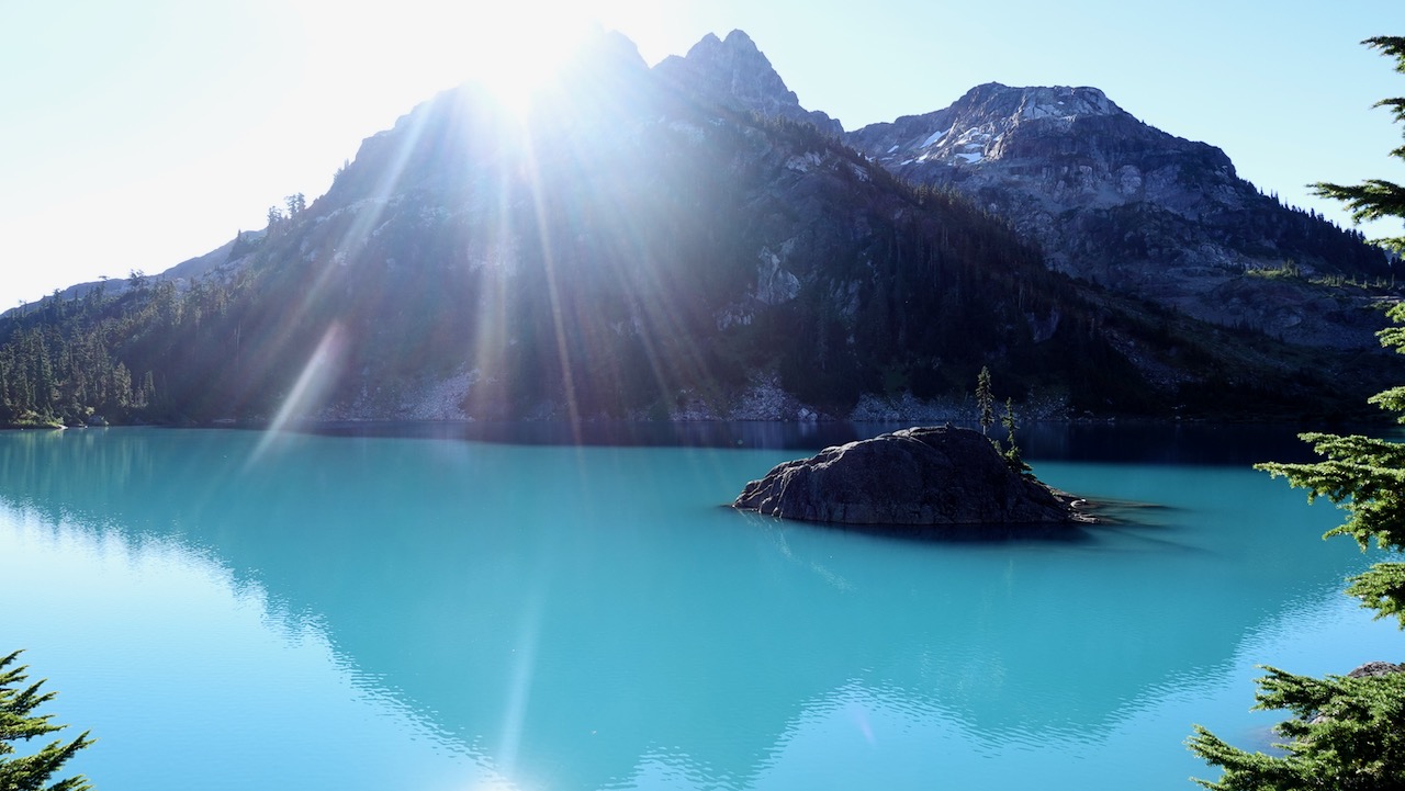
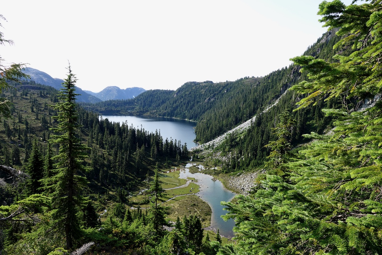
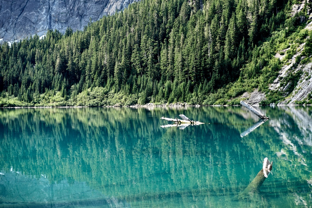
I’d seen lovely Moat Lake the day before from the Albert Edward hike.
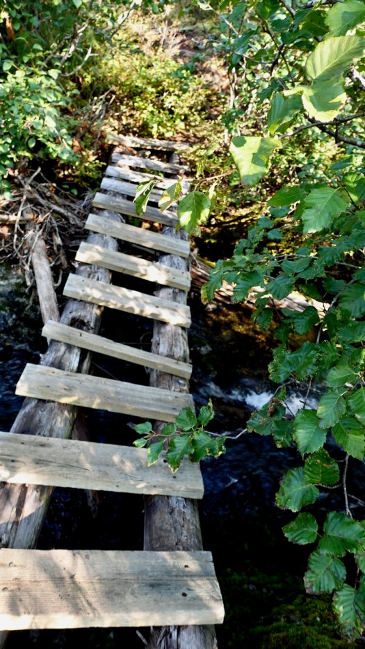
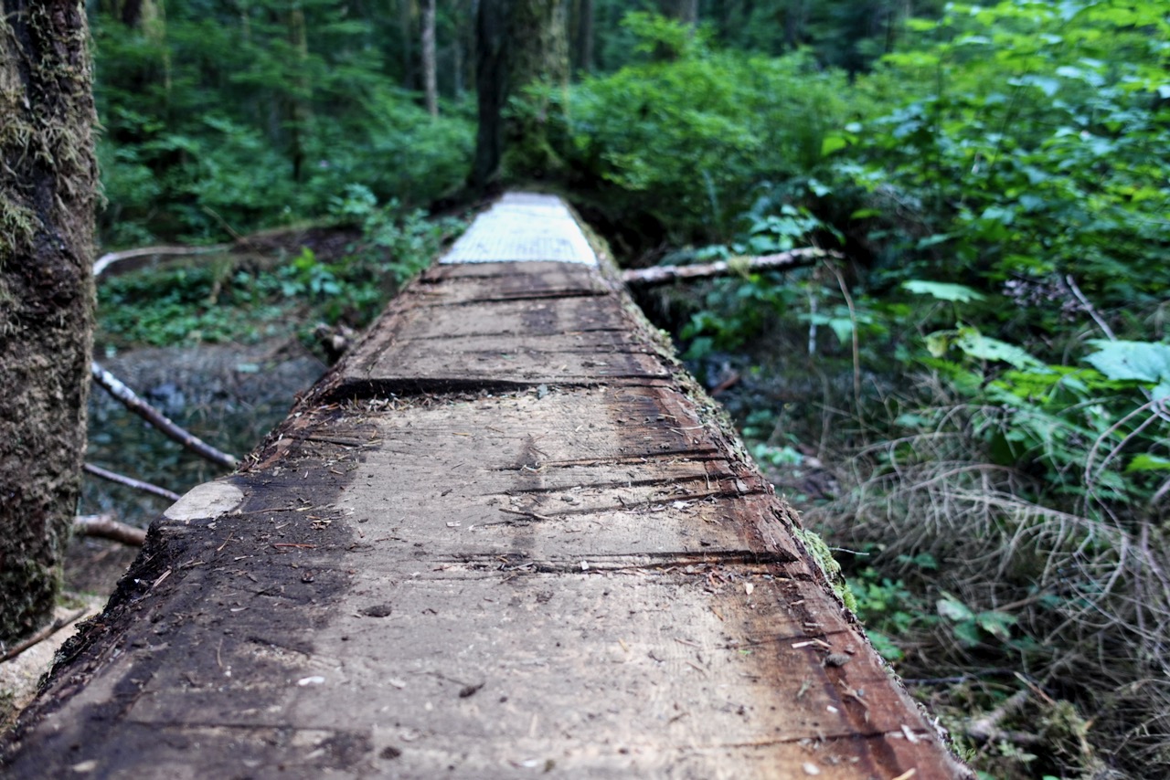
For Castlecrag you circumambulate the far side, crossing the worst bridge I’d seen in Strathcona 2020.
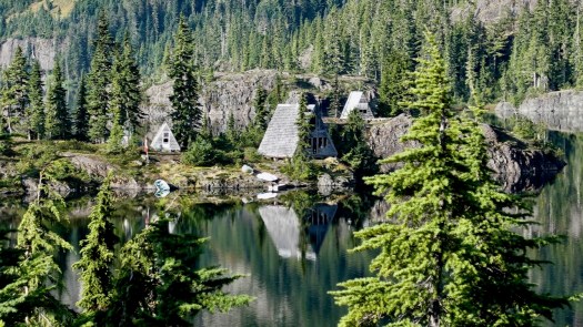
En route a helicopter flew into Moat Lake Retreat, an island you can rent with 2 cabins sleeping a total of 10 people. It’s a legacy from when Clinton Wood first built a lodge here in 1934.
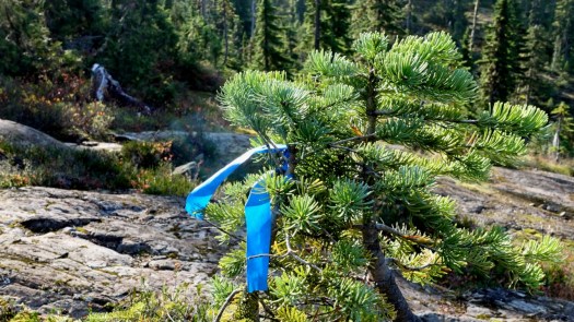
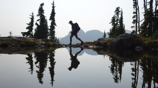
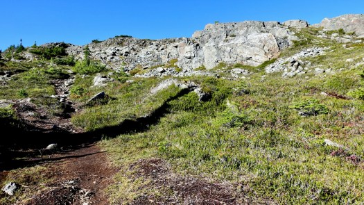
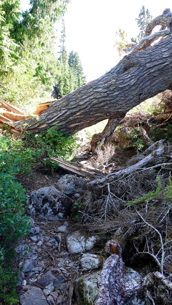
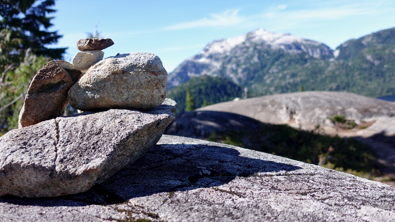
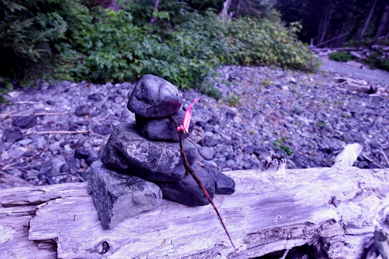
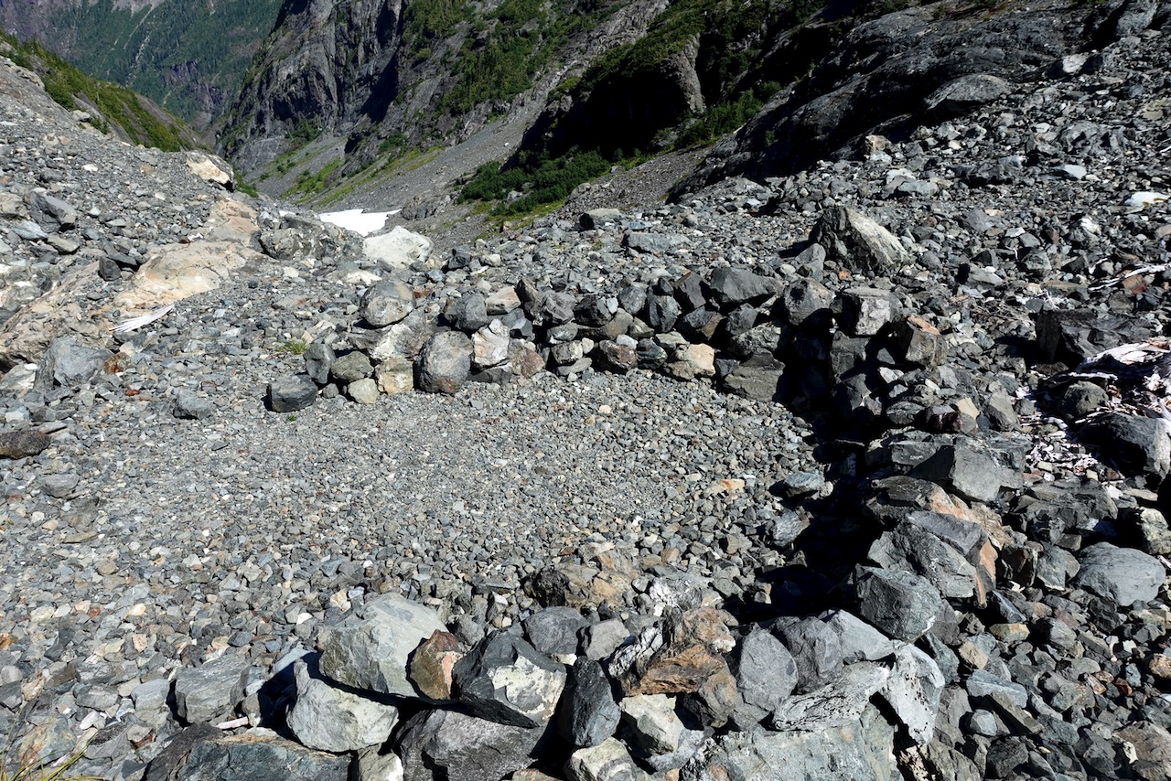
In good weather, finding the route is not all that difficult. Follow the cairns and (possibly) ribbons.
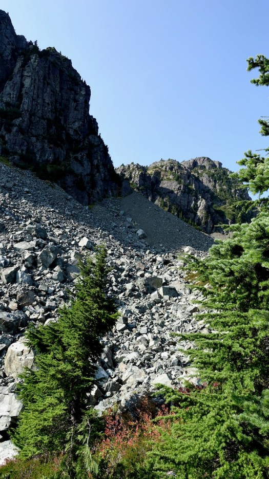
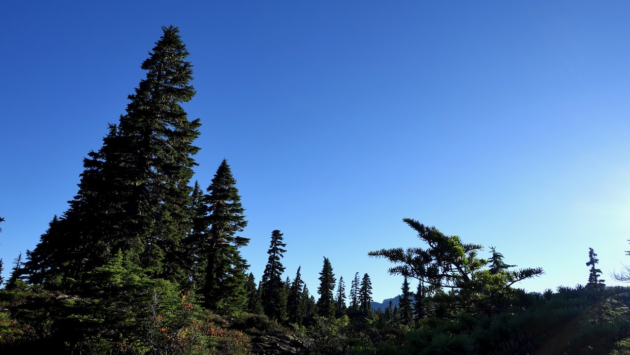
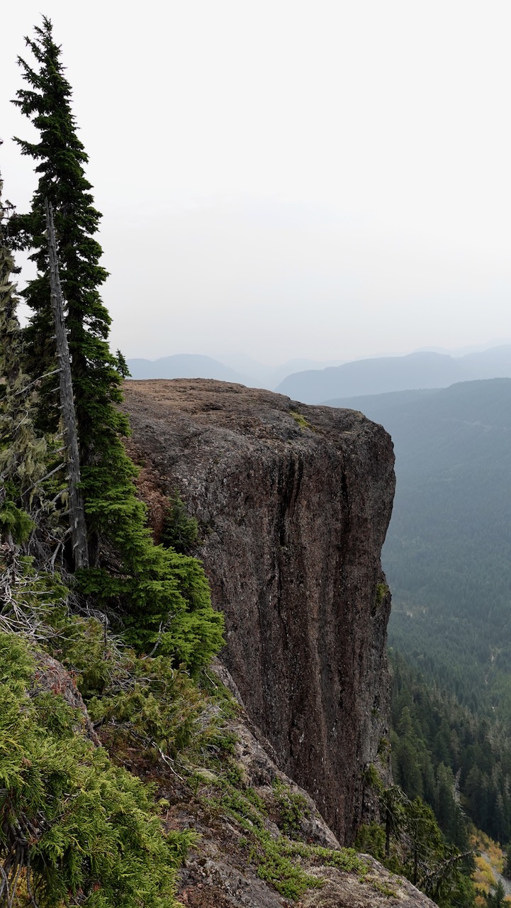
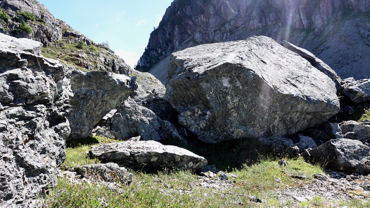
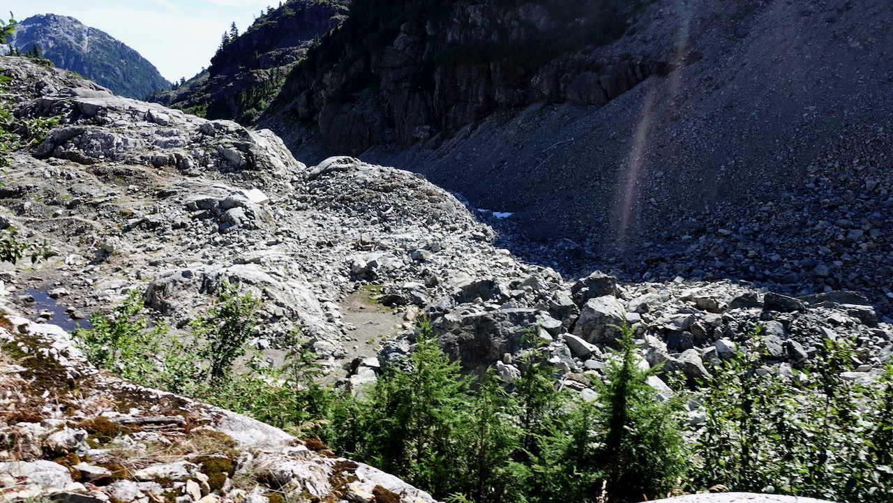
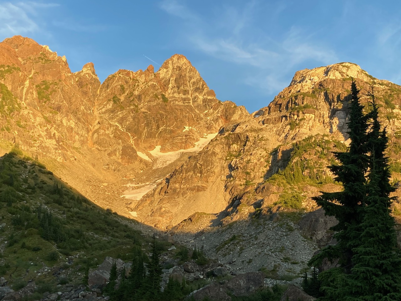
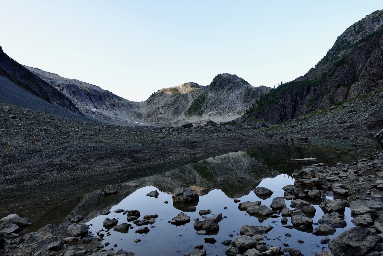
Much of this adventure is above the treeline.
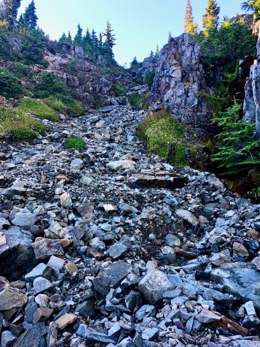
Overall the hiking is more difficult than on nearby Edward Albert as there is a fair bit of boulder hopping over avalanche slopes.
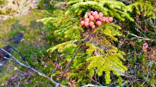
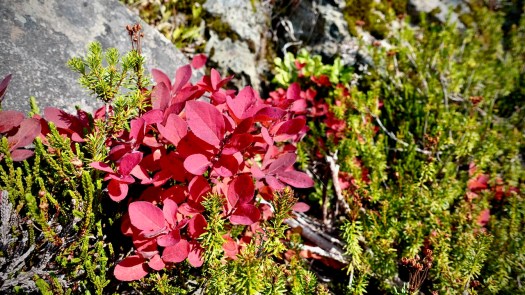
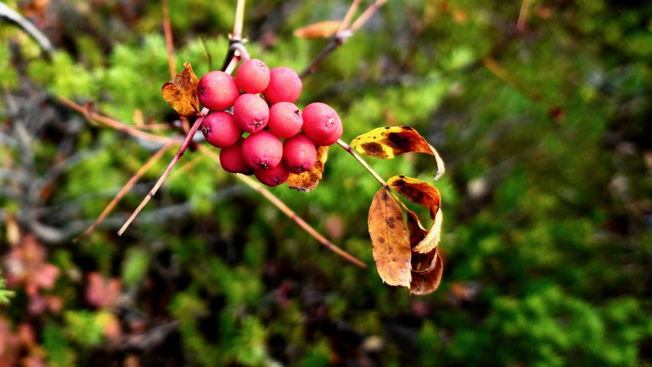
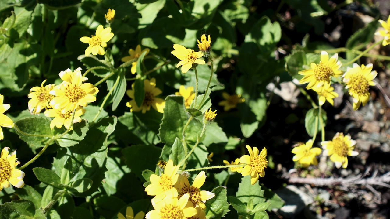
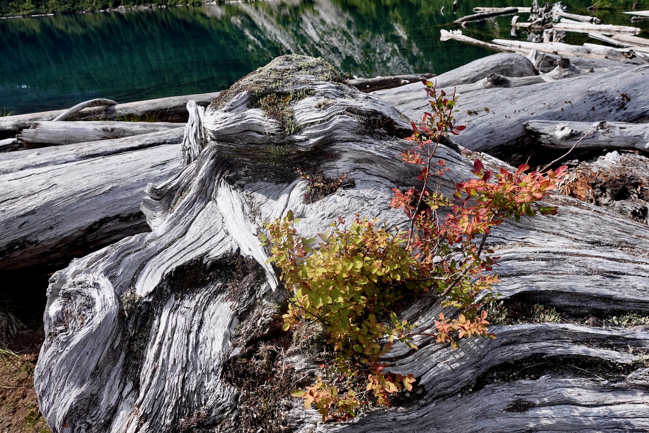
Two highlights end of September: no mosquitoes and autumn colours.
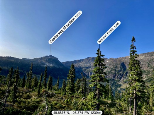
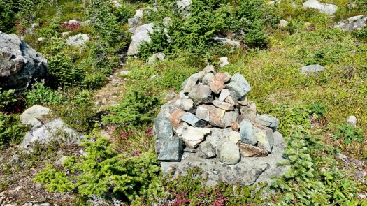
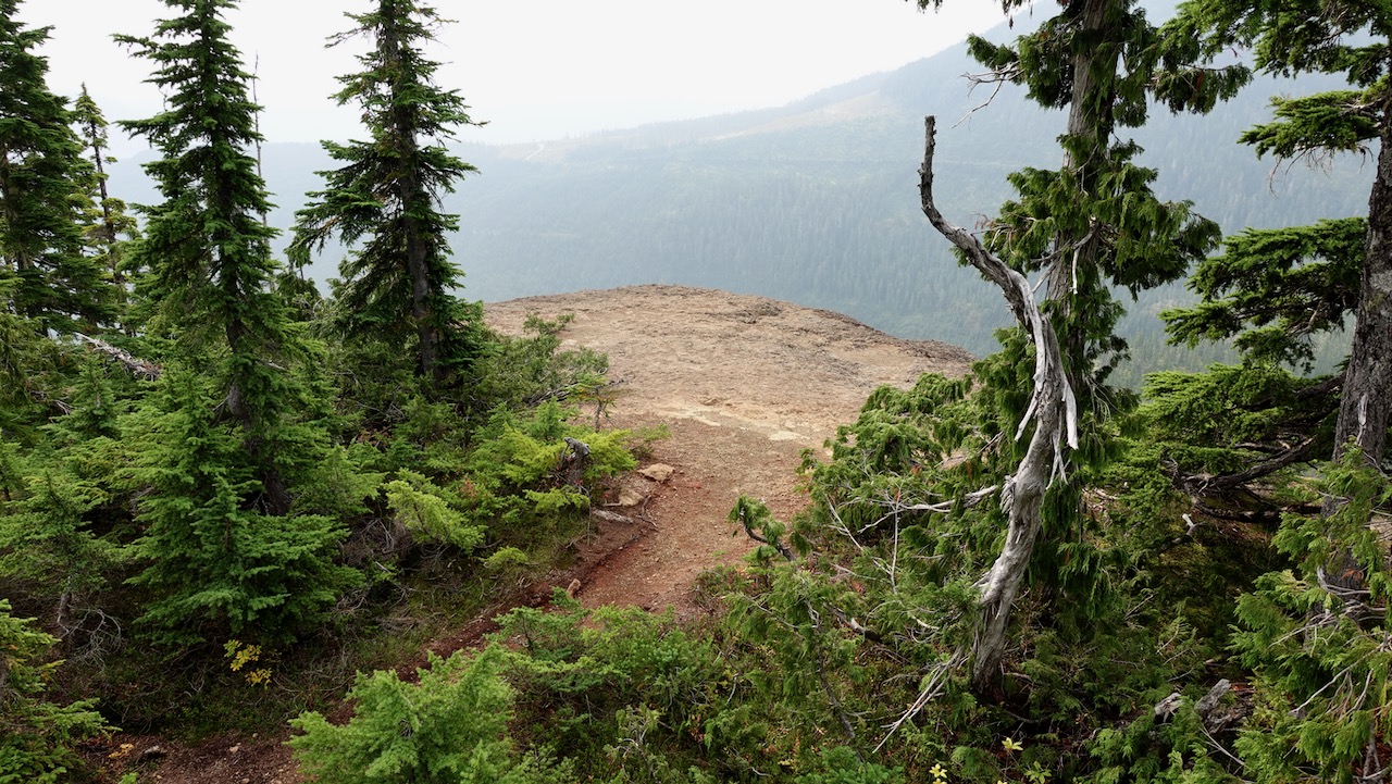
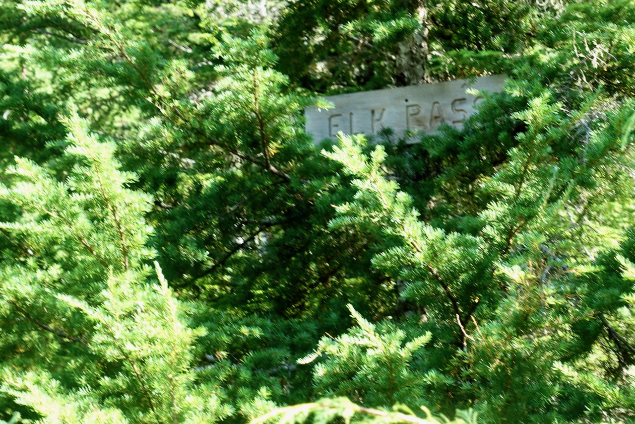
The turnoff UP to Castlecrag is not signed. Watch for the big cairn on the right.
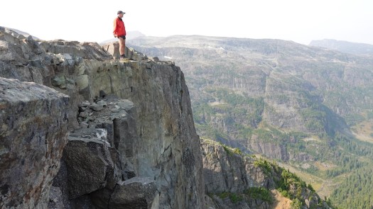
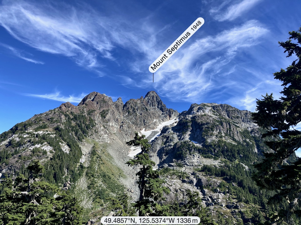
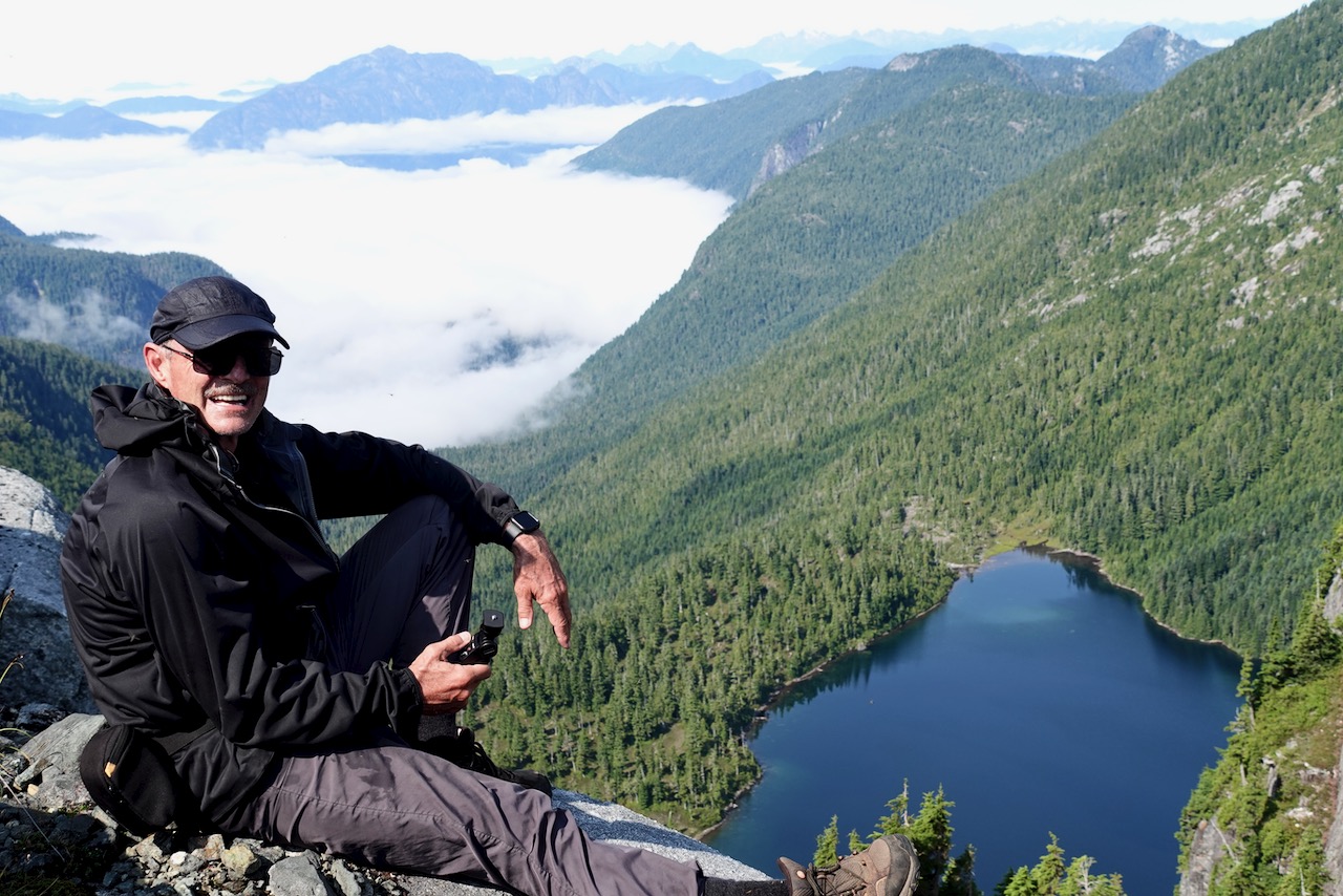
Castlecrag 1740m (5709ft) is a satellite peak to Mt Albert Edward 2093m and many serious hikers / trail runners connect the two via Mt Frink. I’d originally planned to do that myself — but found it too difficult and risky on my own. Also, days are short end of September. I might have spent some hours in the dark on the way down.
It’s a short climb from the cairn to the summit of Castlecrag.
It’s named for Albert Edward, Prince of Wales, later King Edward VII.
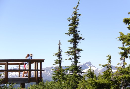
Most who climb it start at Circlet Lake campground.
From the campground it’s only5.5km to the summit, but it took much longer for me than I anticipated. Update: that sign on the trail is wrong. It’s significantly further than 5.5km. 😀
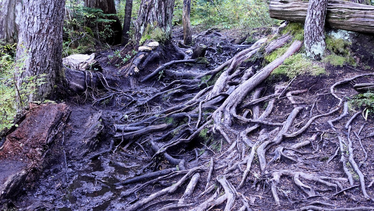
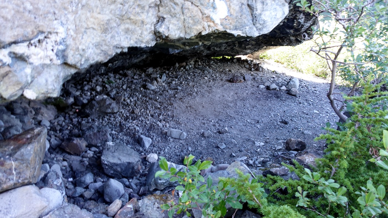
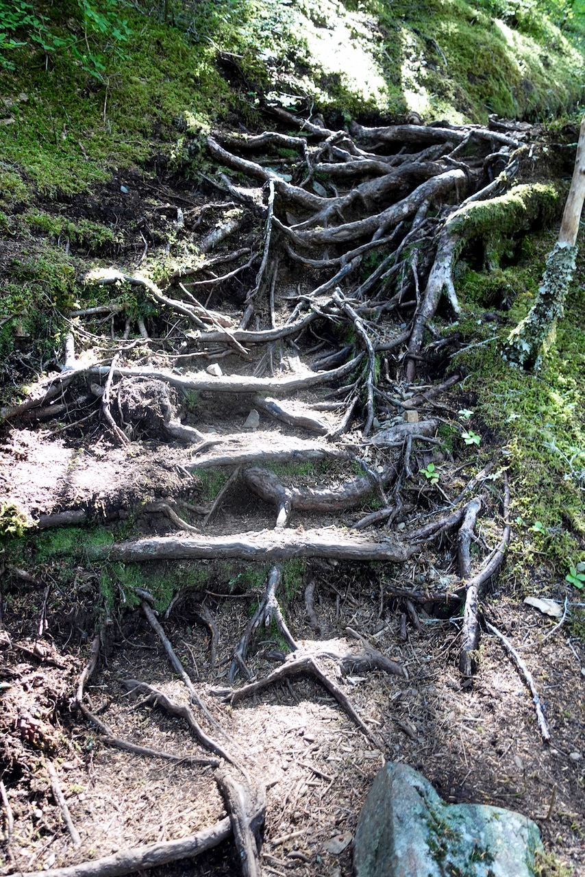
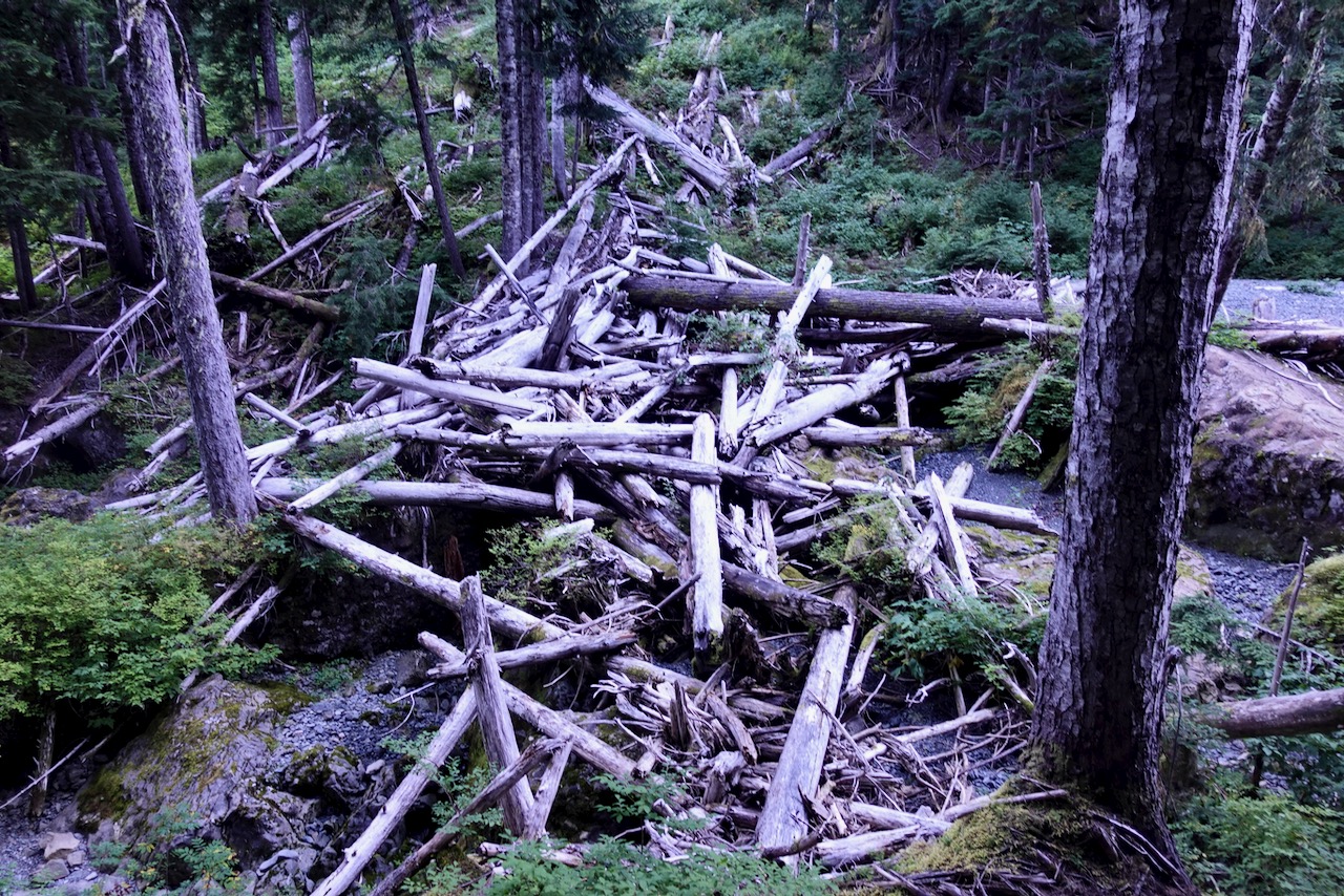
The muddiest trail I found was that just departing Duck Pond.
I hiked Circlet to the summit on the trail marked in red.
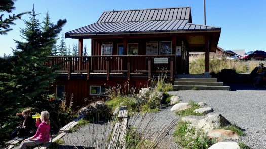
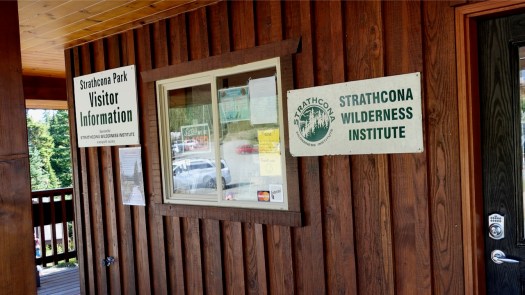
Paradise Meadows is the best and most convenient trailhead in Strathcona, largest and oldest (1911) Provincial Park in B.C..
It’s easy access to the Forbidden Plateau on paved Strathcona Parkway up to Mt Washington Alpine Resort 1100m, 20km up from the inland highway.
Close to Courtney, Cumberland, and Campbell River. The nearest airport and ferry port are at Comox.
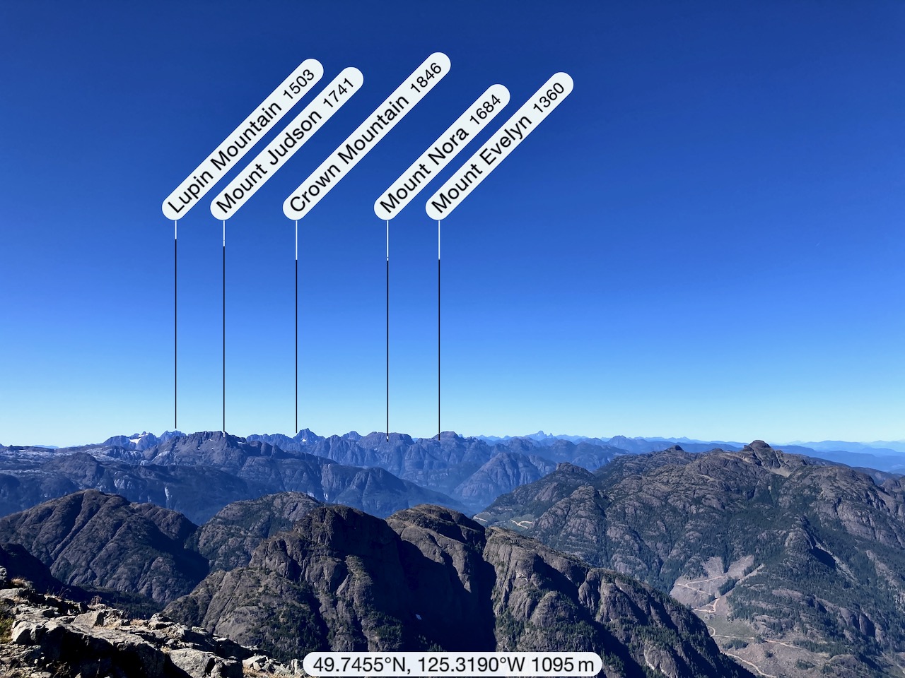
Looking from Raven Lodge at the trailhead, the most distinct peak is sharp Albert Edward, 6th highest mountain on the island.
It seemed to me in 2020 that Strathcona Park did not have as much staff as they would like. Happily the volunteers of the Strathcona Wilderness Institute are often in person at Paradise trailhead. Make a donation if they help you out.
→ Centennial Loop (2.5km) → Paradise Meadows Loop (4.2km) → Lake Helen Mackenzie – Battleship Lake Loop (8km) → Helen MacKenzie-Kwai Lake-Croteau Loop (14km)
Those trails closest to the trailhead are best maintained: bridges, pit toilets, good signage and much boardwalk. In fact, the Centennial Loop is wheelchair and scooter accessible.
Check the map. I hiked in to Circlet Lake on yellow, mostly looped back on green. But there are MANY possible different interconnecting loops.
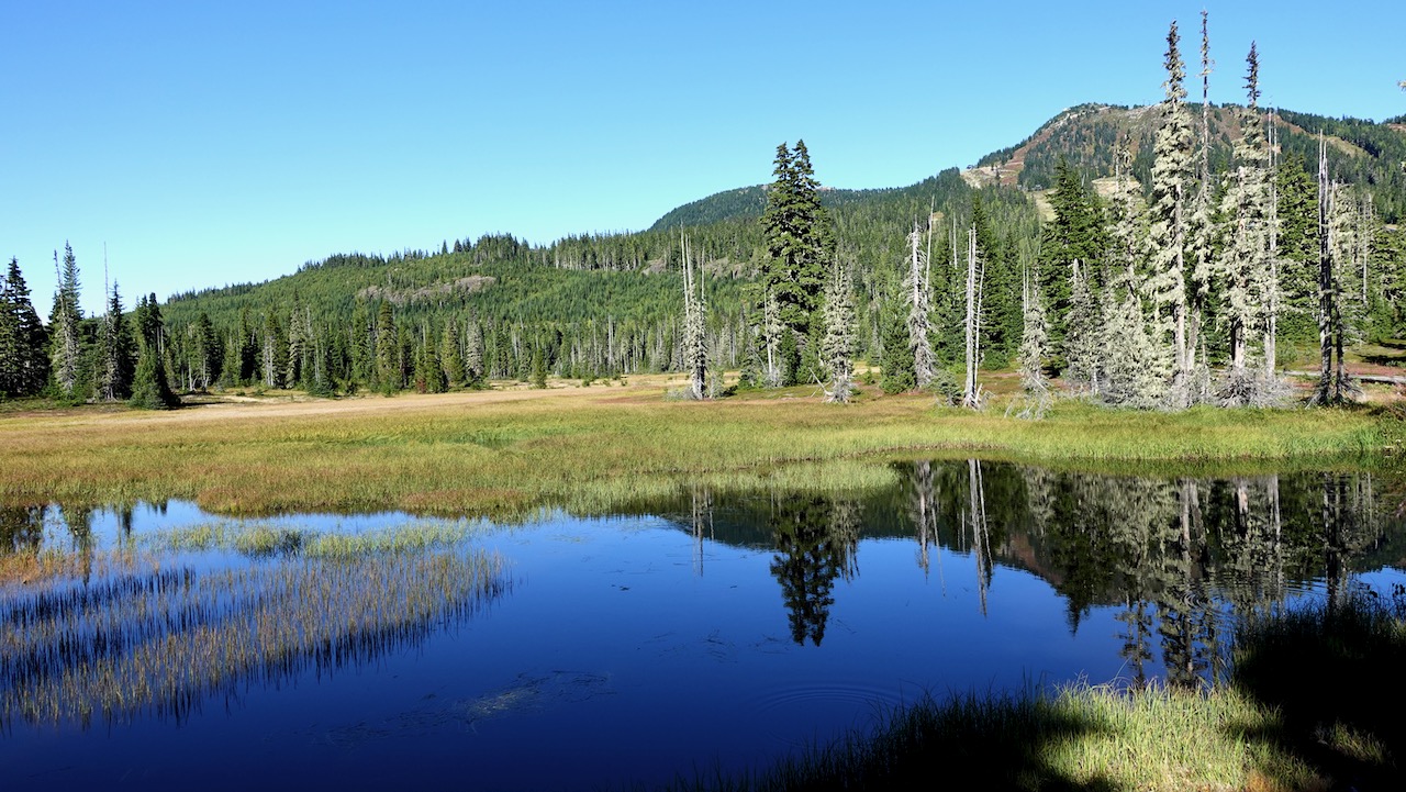
Most hikers on the Forbidden Plateau stay down in the subalpine: forested hills, postcard pretty lakes, babbling brooks, and lovely meadows.
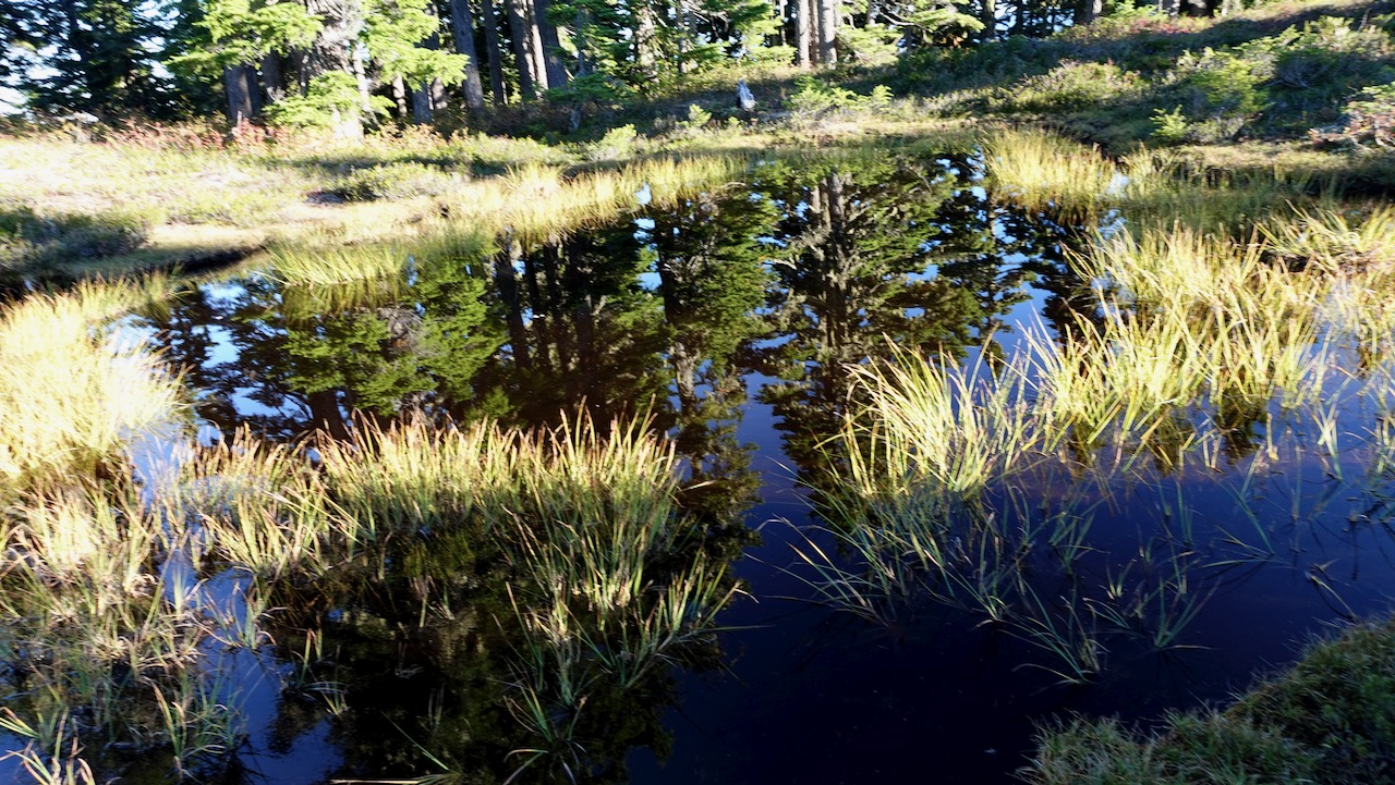
It’s wet. Expect rain.
Expect mud. 🙃
If we couldn’t enjoy all this beautiful boardwalk, we’d often be wading wetlands.
Water water everywhere, yet I found I had to treat almost every source. There are not all that many fast running creeks.
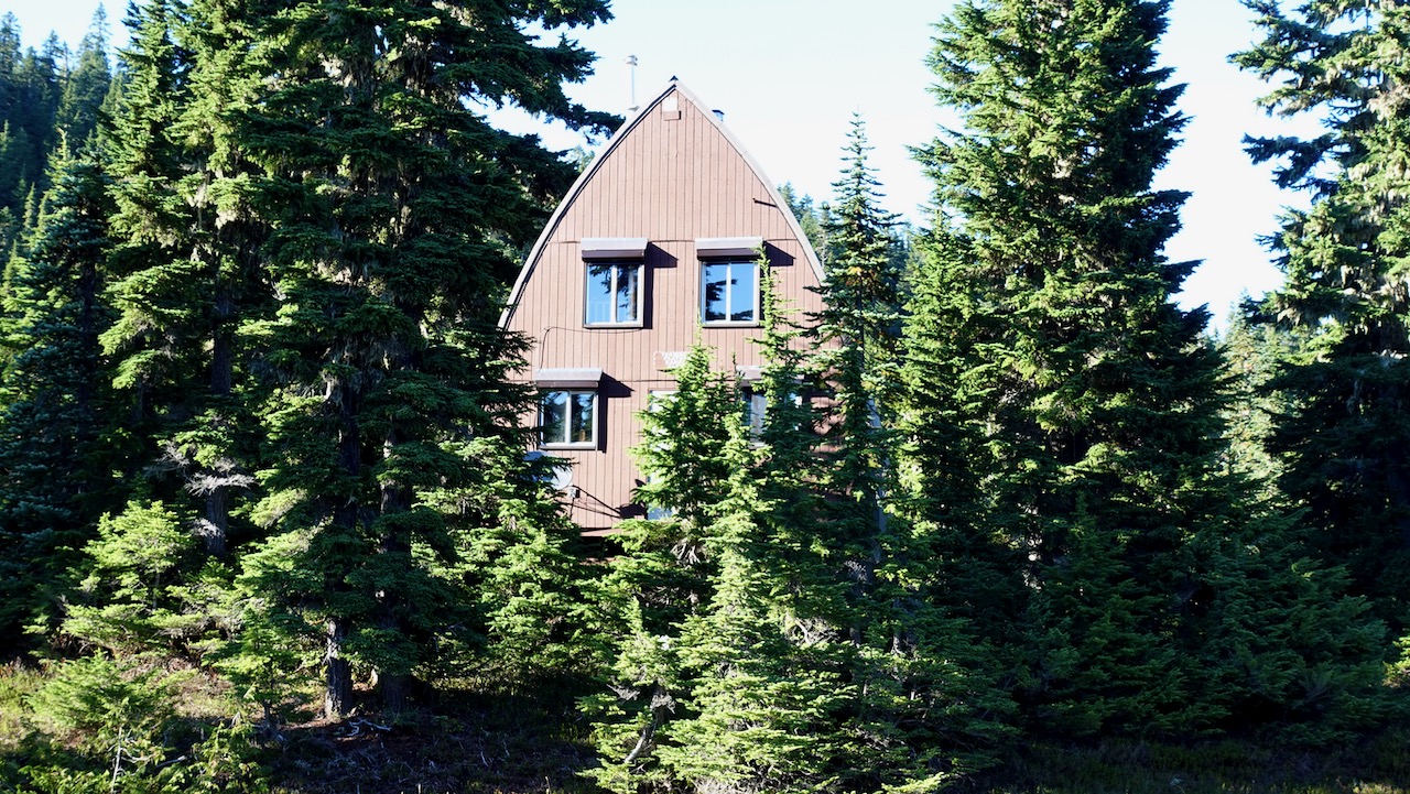
I passed one picturesque Ranger cabin.
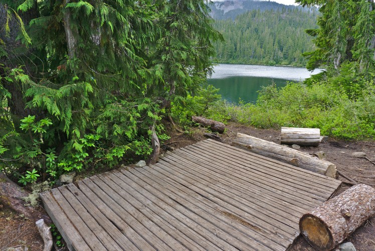
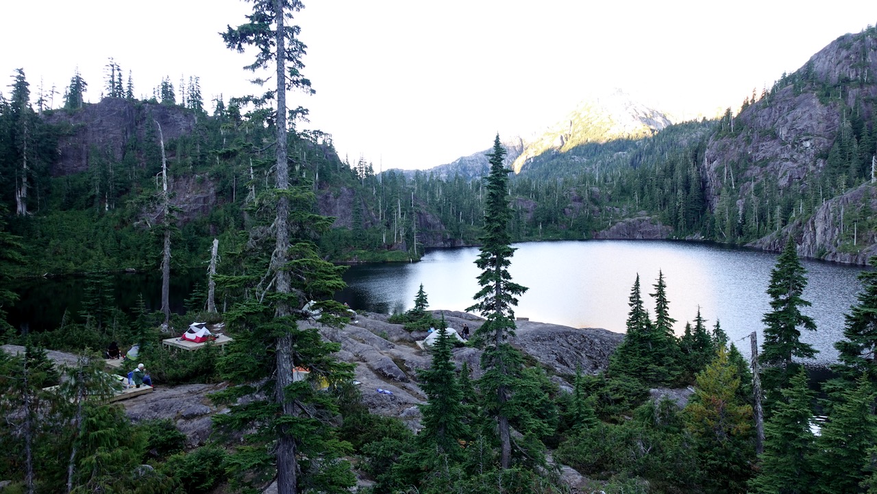
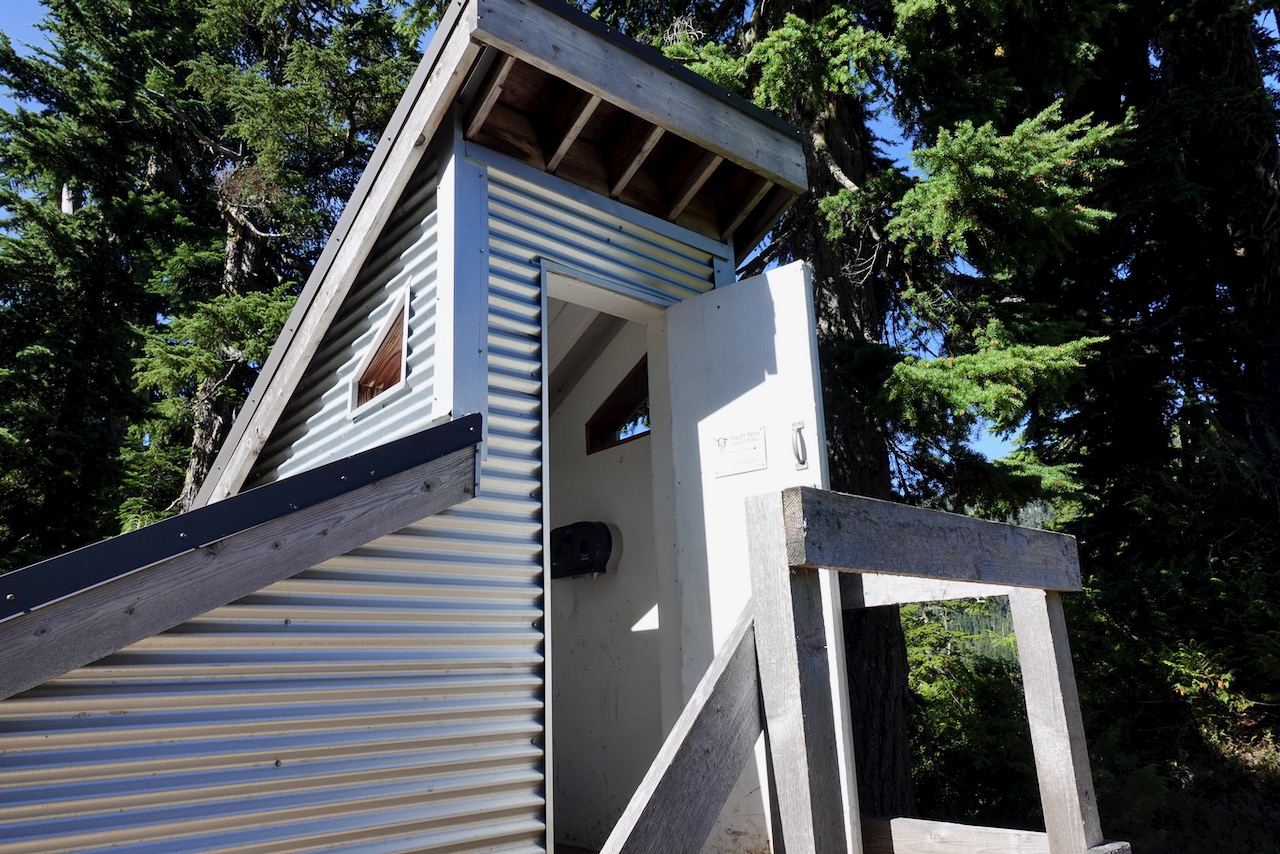
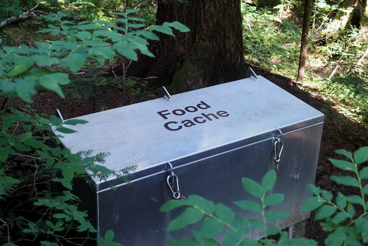
Three first-come, first-served campgrounds are quite good, the closest at Lake Helen Mackenzie near the trailhead. Each has pit toilets and bear proof food lockers. (CAD$10 / person / night in 2020)
I was there late September 2020. Very few mosquitoes! That’s not always the case here.
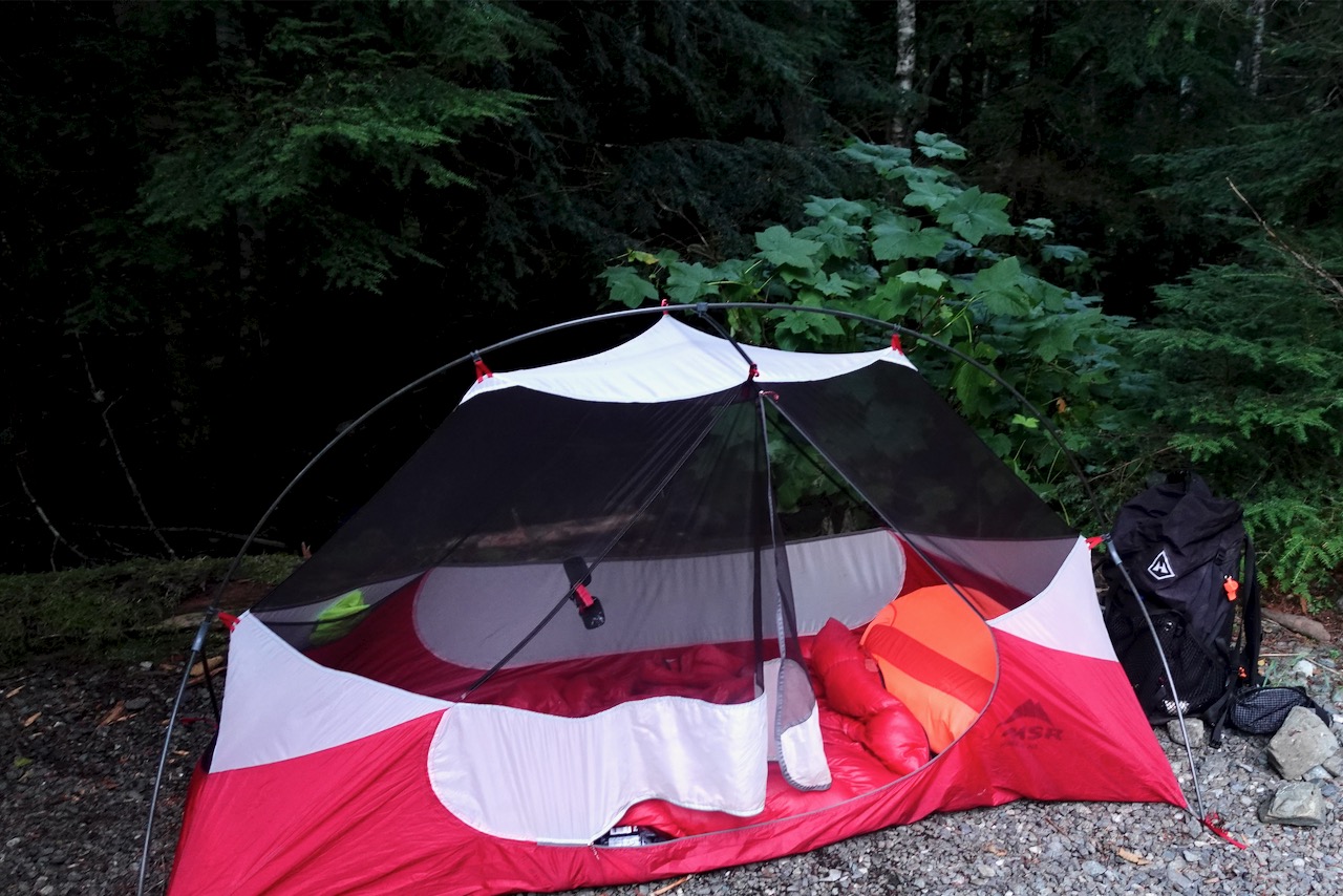
I hiked in to Circlet about 9.5km one way. About 4 hours walking. Stayed 3 nights.
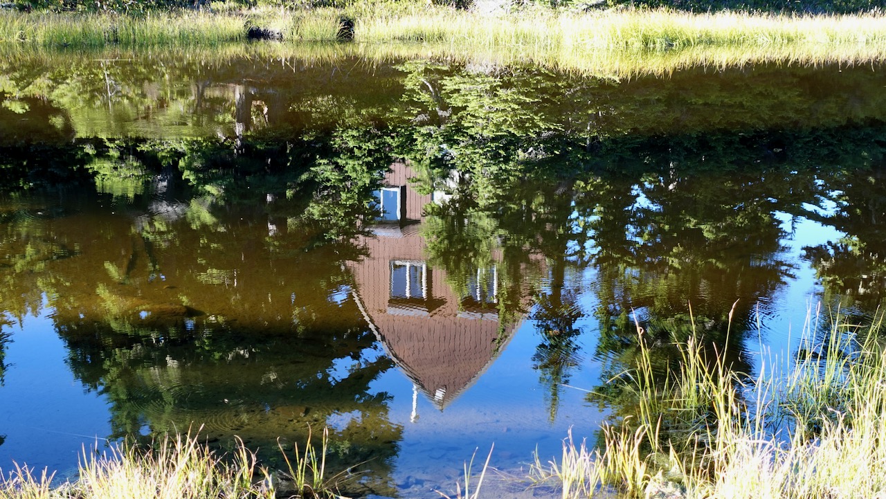
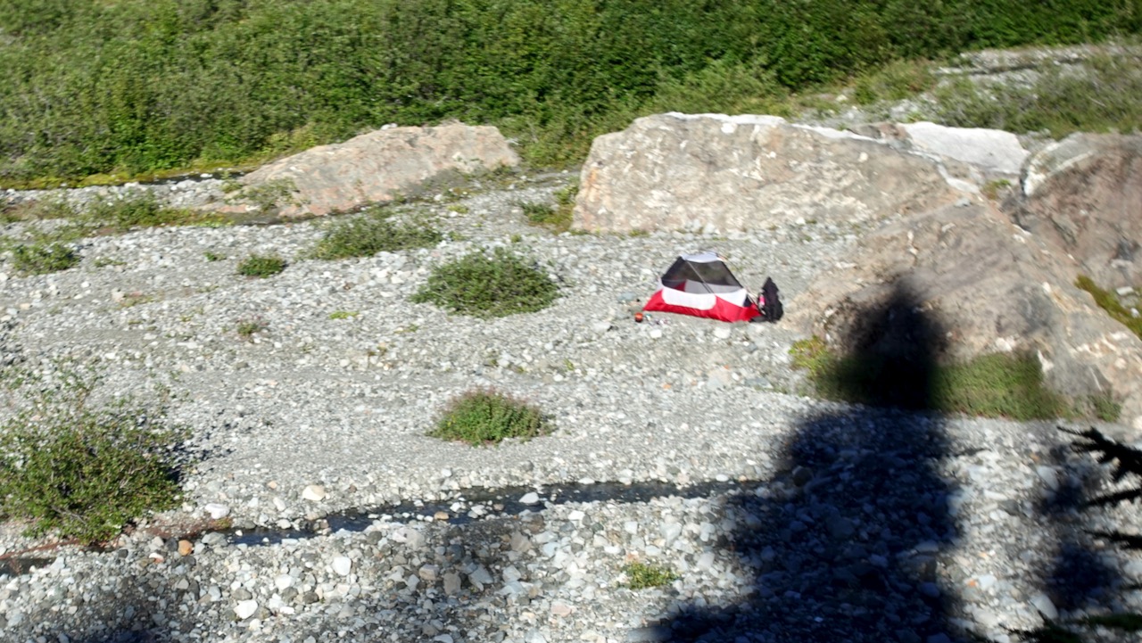
Arrived just before dark. Camped on pretty Duck Pond rather than the lake itself.
Circlet is not likely to fill up — but you MIGHT find no space left at Helen Mackenzie and Kwai Lake campgrounds on a busy day during the short summer season.
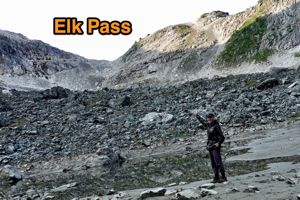
I too carried 8 days food with faint hope of continuing on the Traverse. But decided it was too difficult, remote and dangerous to do solo. What if I got hurt?
In fact, I fell badly twice on the Elk Pass trail: scratches and bruises.
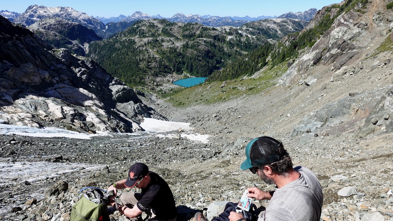
But I did continue part way over the Pass towards this large unnamed lake, a continuation of the Traverse.
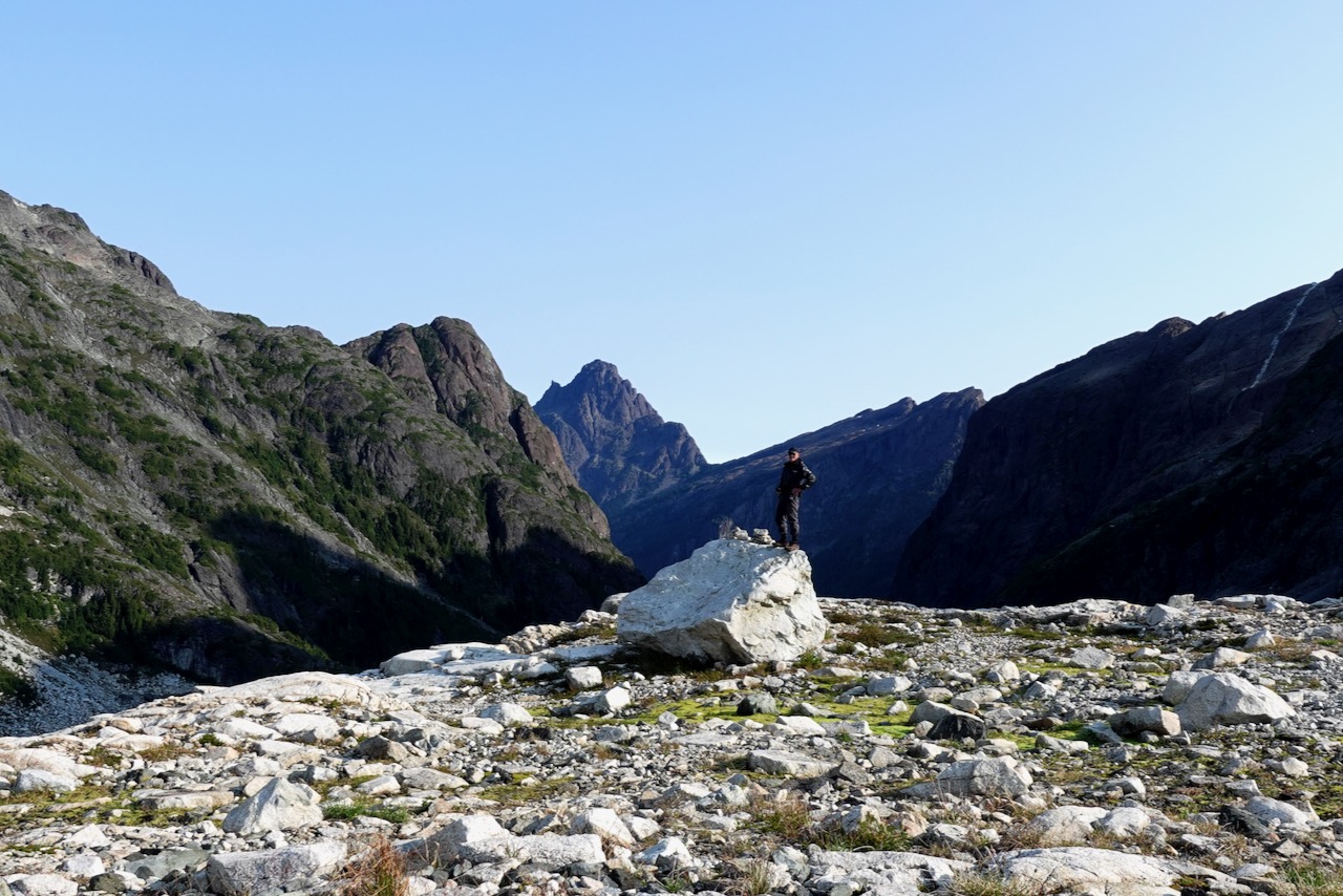
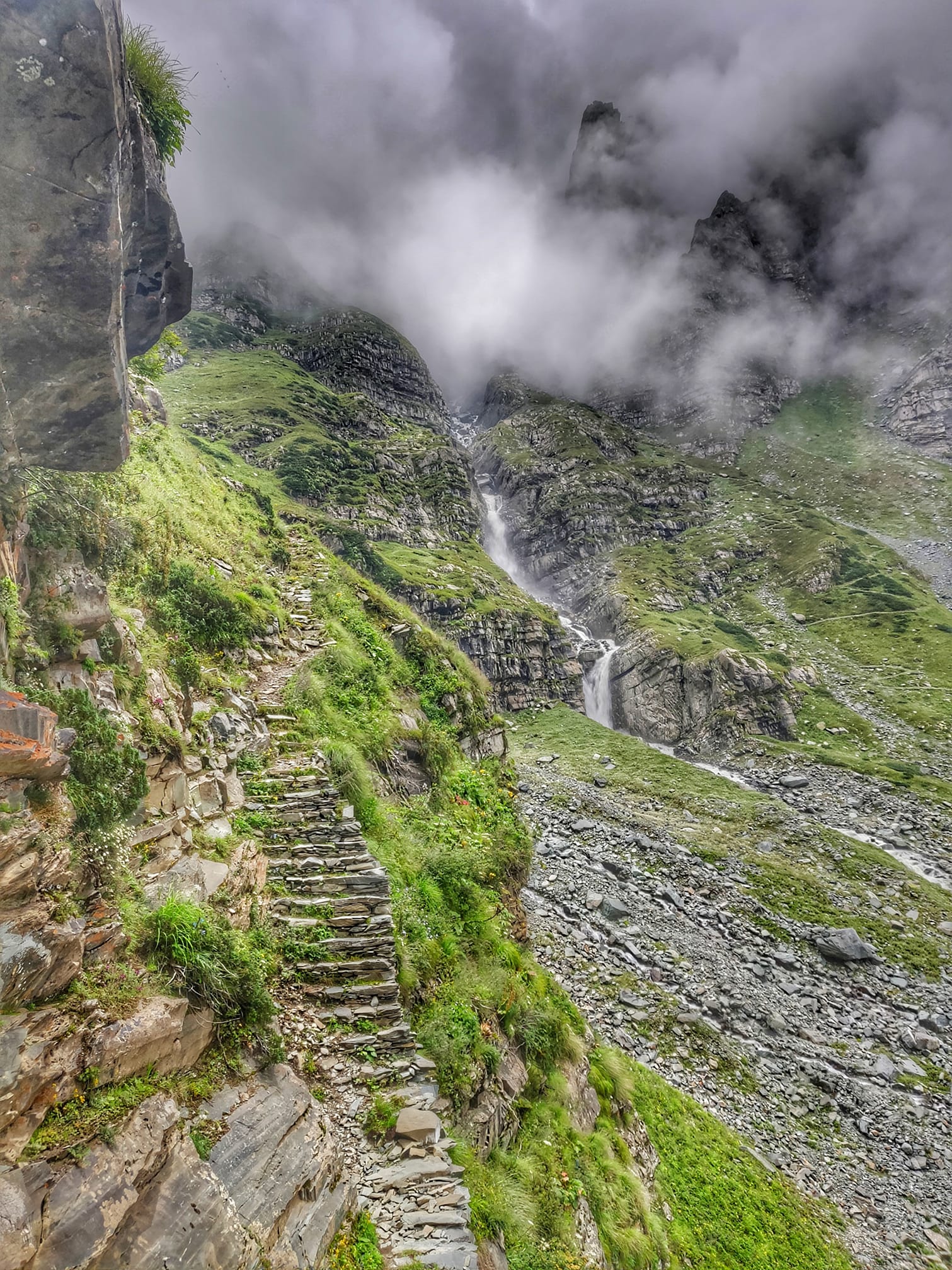
Backtracking, I decided to traverse/scramble up to the next pass to the S.W. of Elk. That turned out to be the highlight.
Big vistas over low clouds.
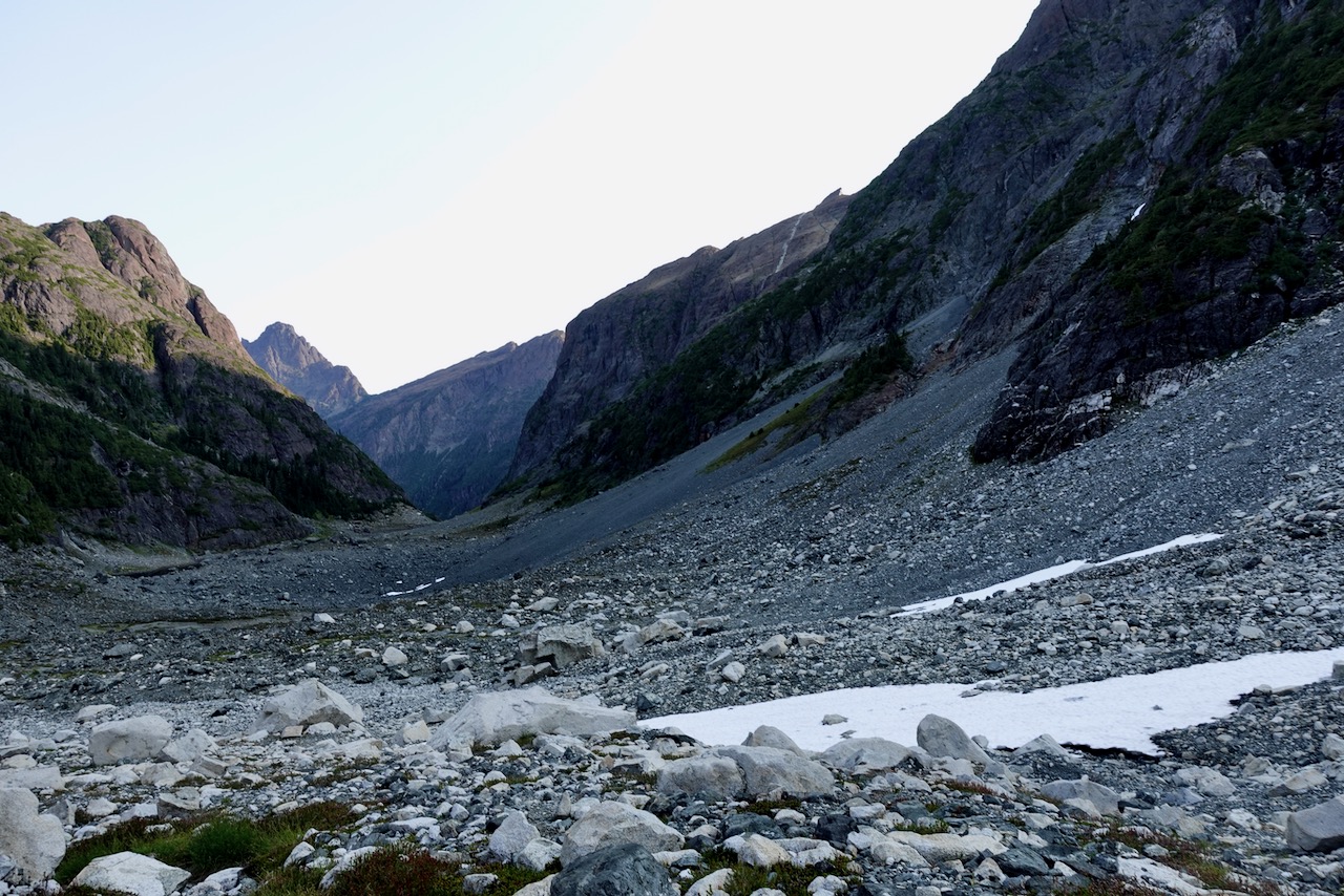
From there it was down, down, down. Back into the trees.
I found hiking down even more challenging than on the way up.
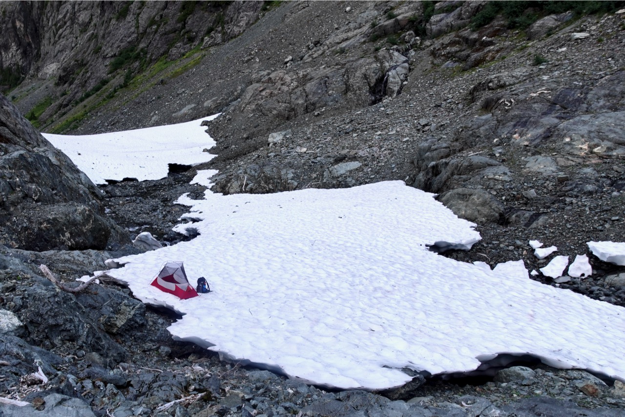
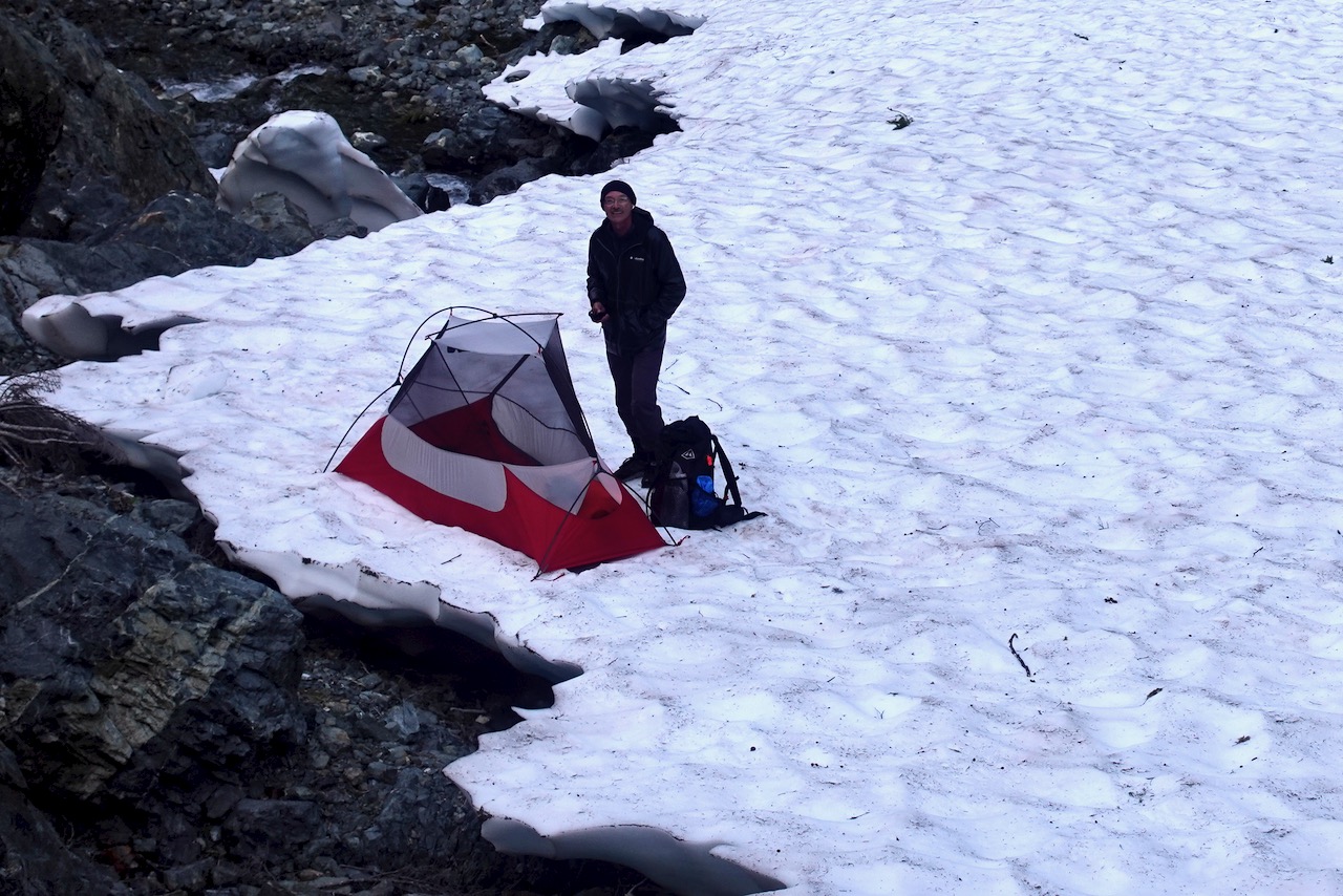
It was nearly 6pm by the time I reached“Hemlock”, the unofficial camp I’d missed the previous night.
It’s named for huge Hemlock trees.
About 8pm I began hearing bombs dropping.
Loud.
Turns out it was a squirrel cutting down pinecones. From on high.
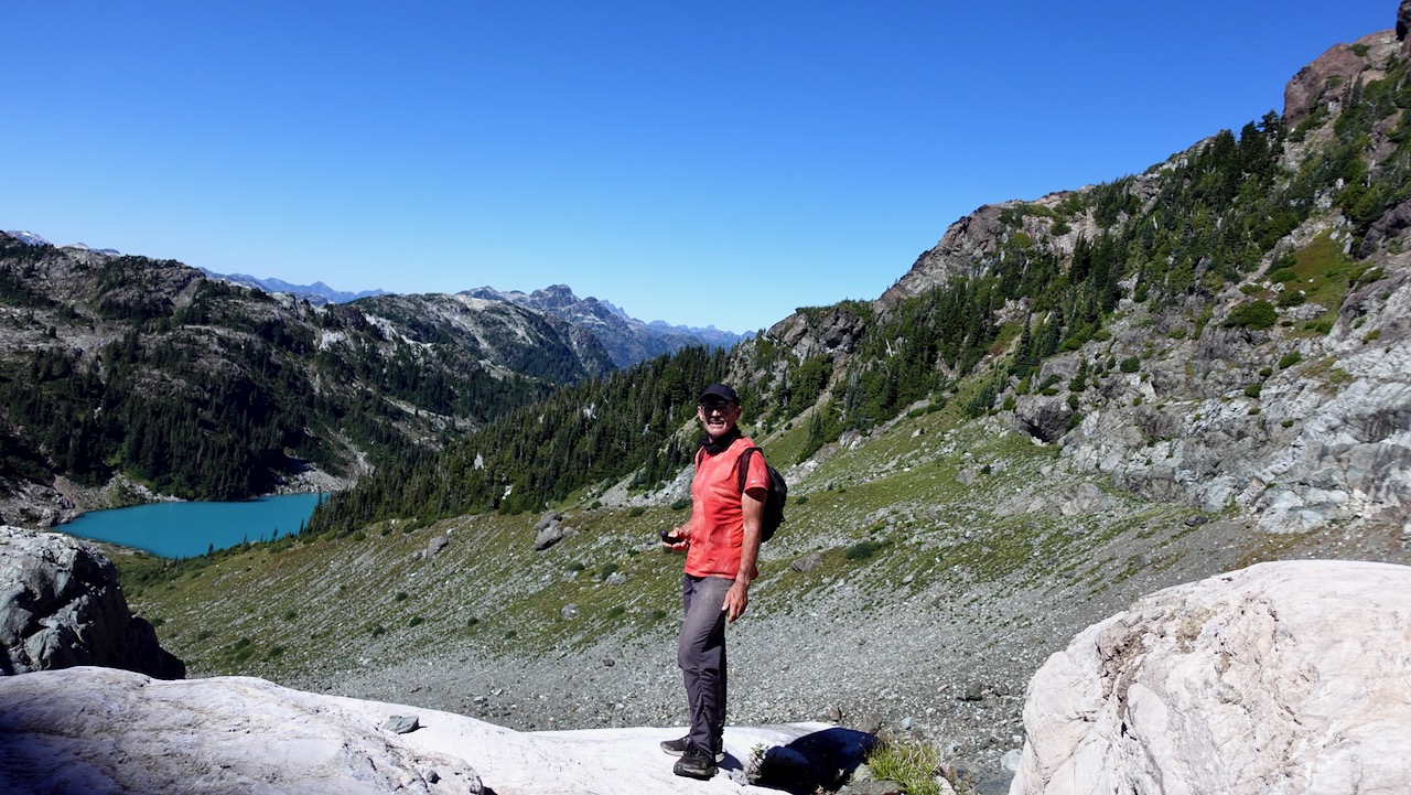
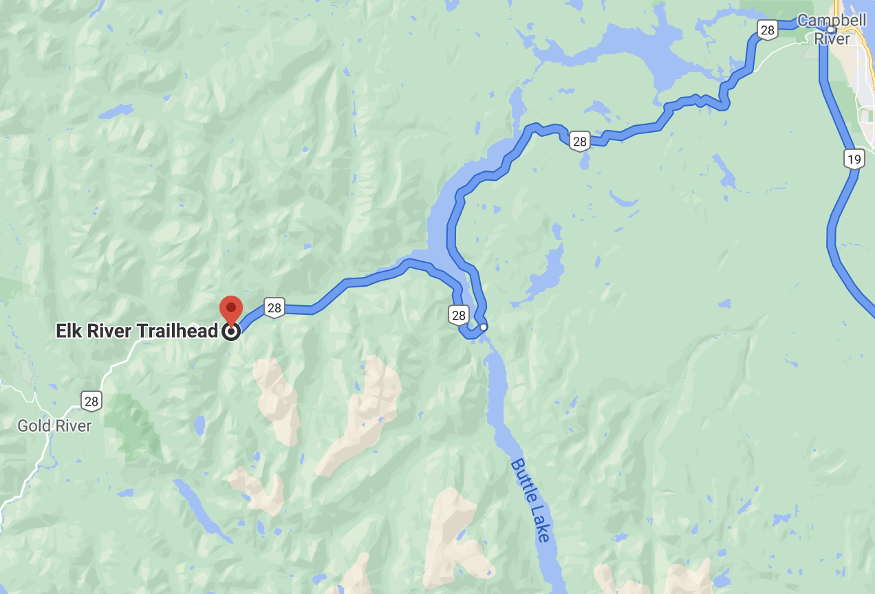
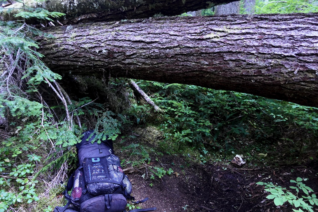
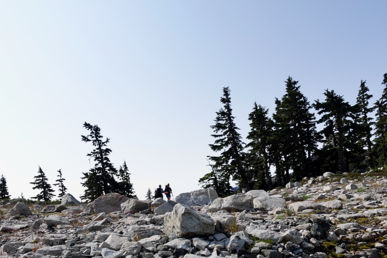
Next morning I returned to the highway via the Elk River trail.
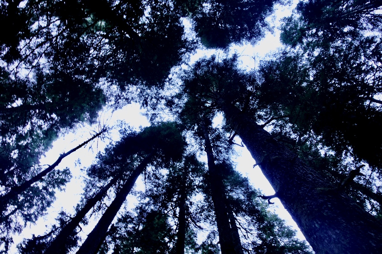
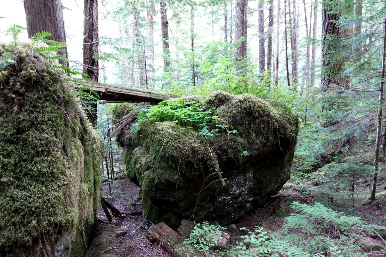
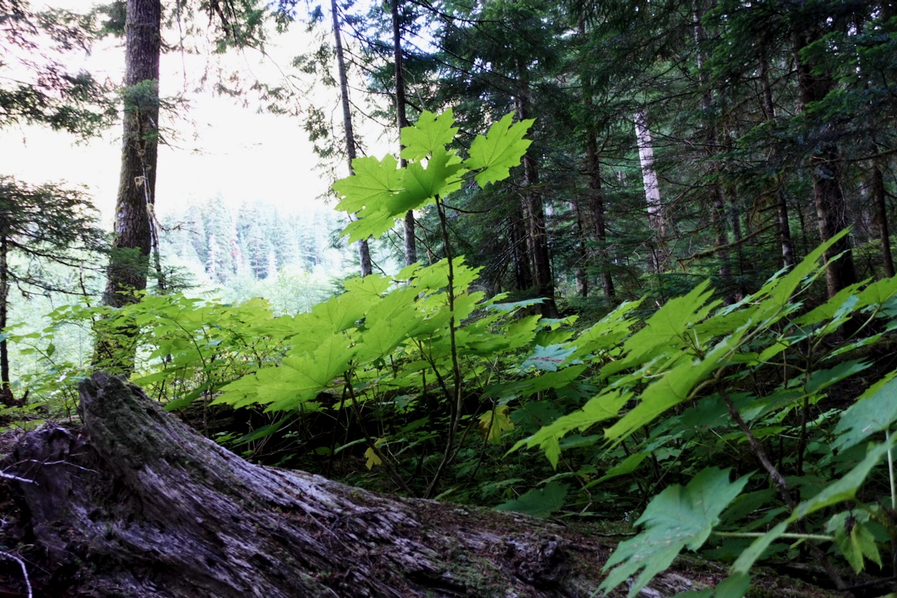
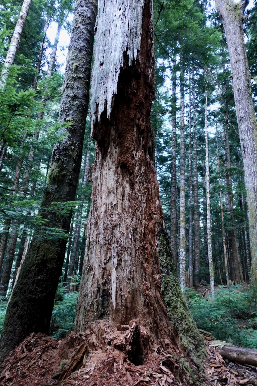
This is classic temperate rain forest. Old growth following the Elk River.
I got to the trailhead late in the afternoon early September.
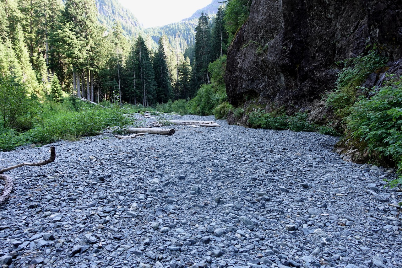
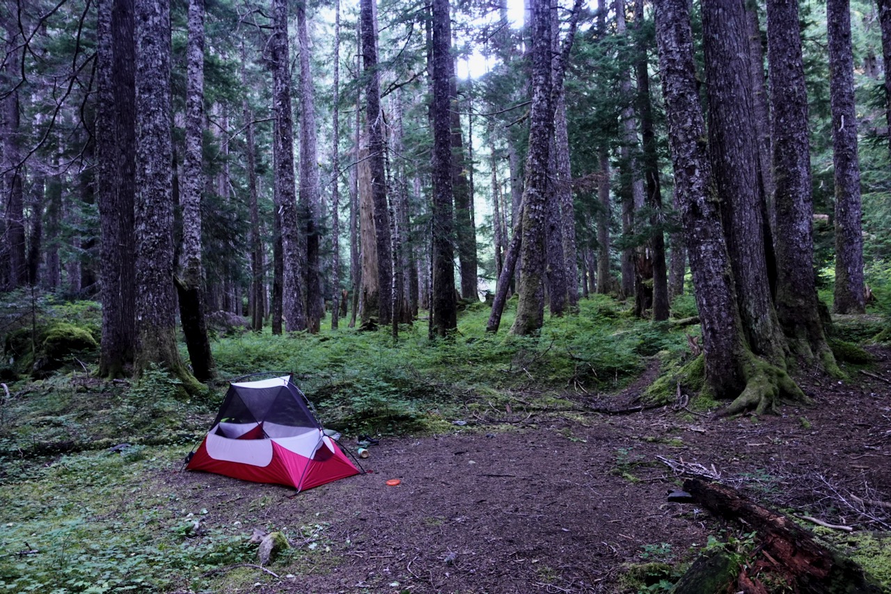
Made the decision to hike only as far as the Butterwort campground (6km) rather than the more popular Upper Gravel Bar campground (9km).
map from Stone guidebook
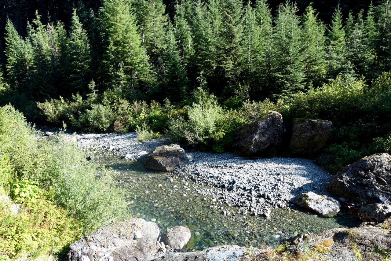
The two campgrounds are literally gravel bars. Nothing fancy.
Butterwort campground
Next morning I headed on towards the Upper Gravel Bar campground.
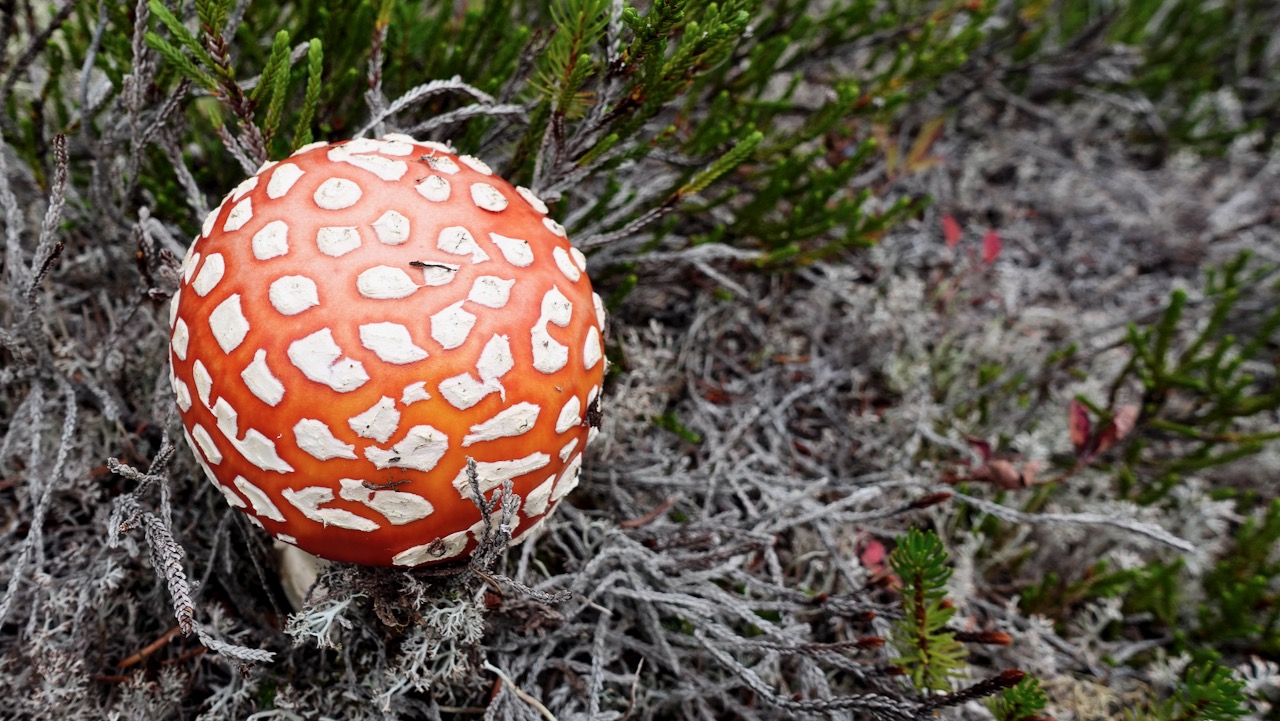
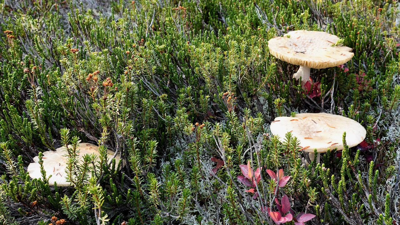
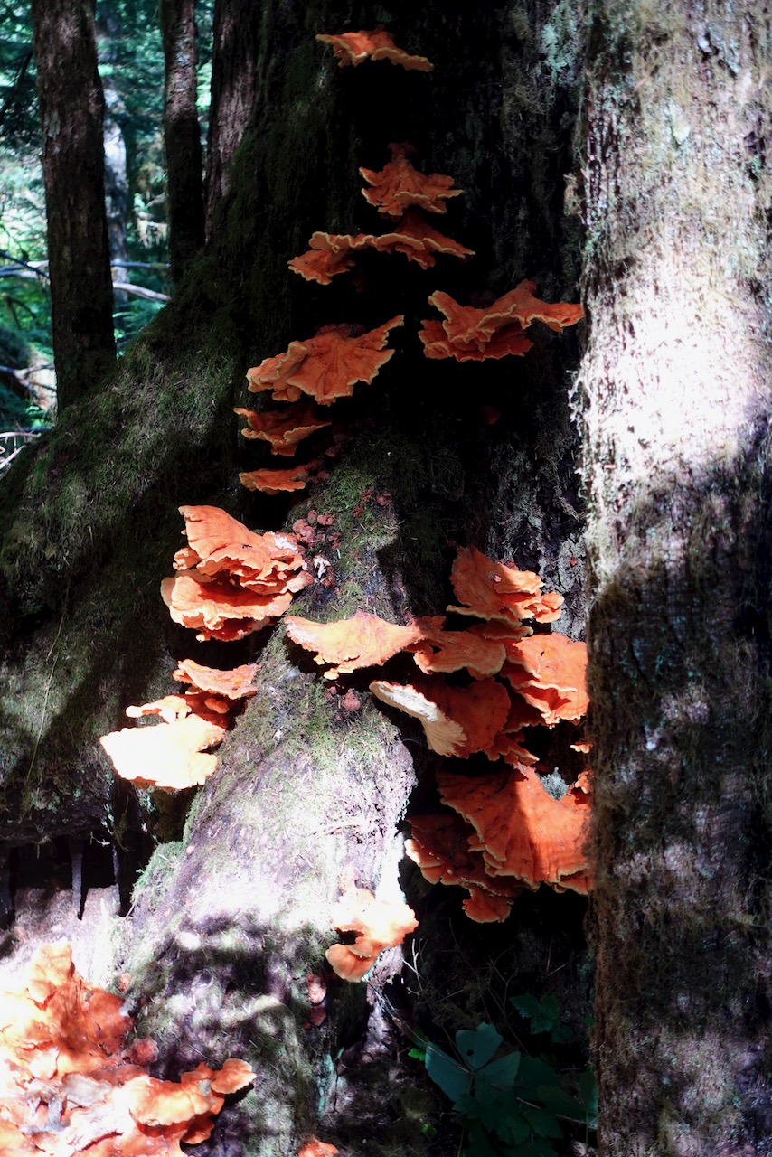
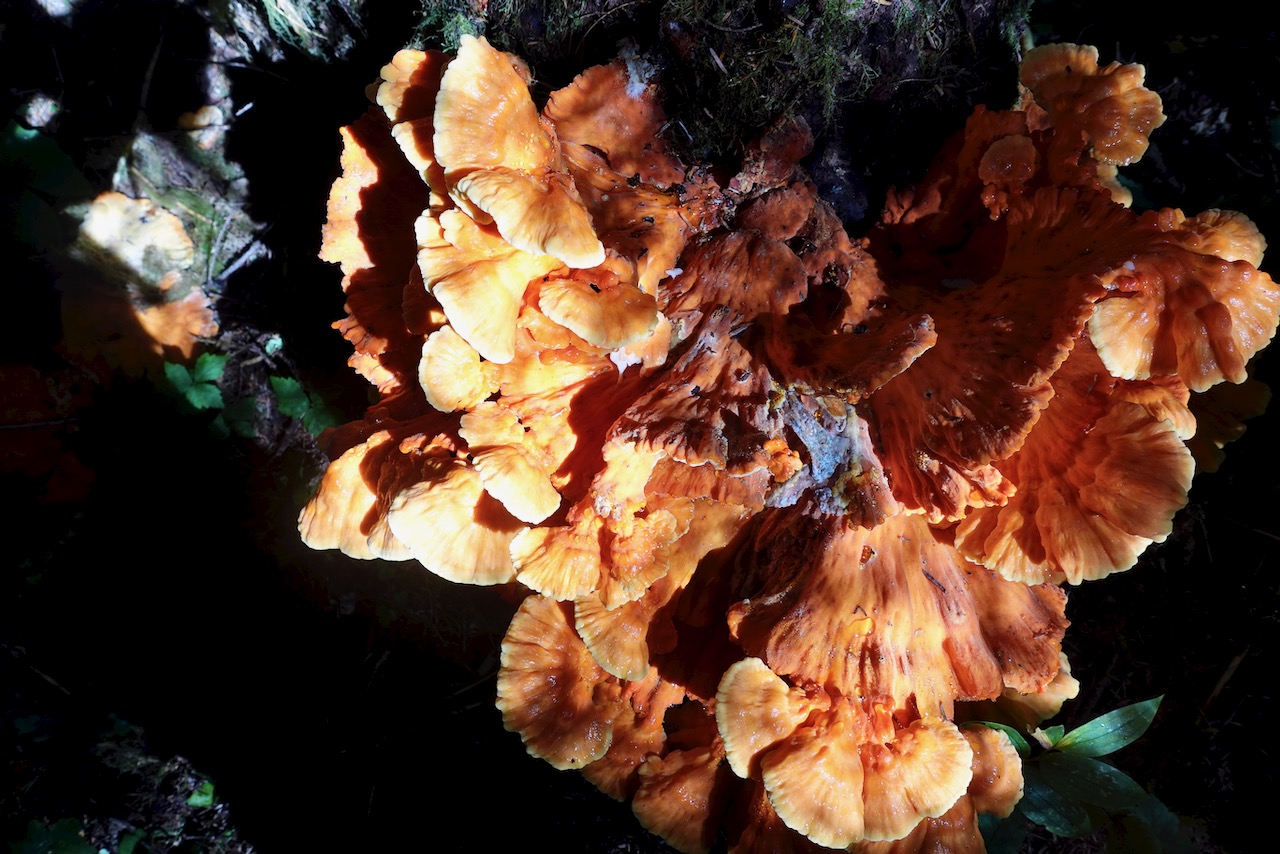
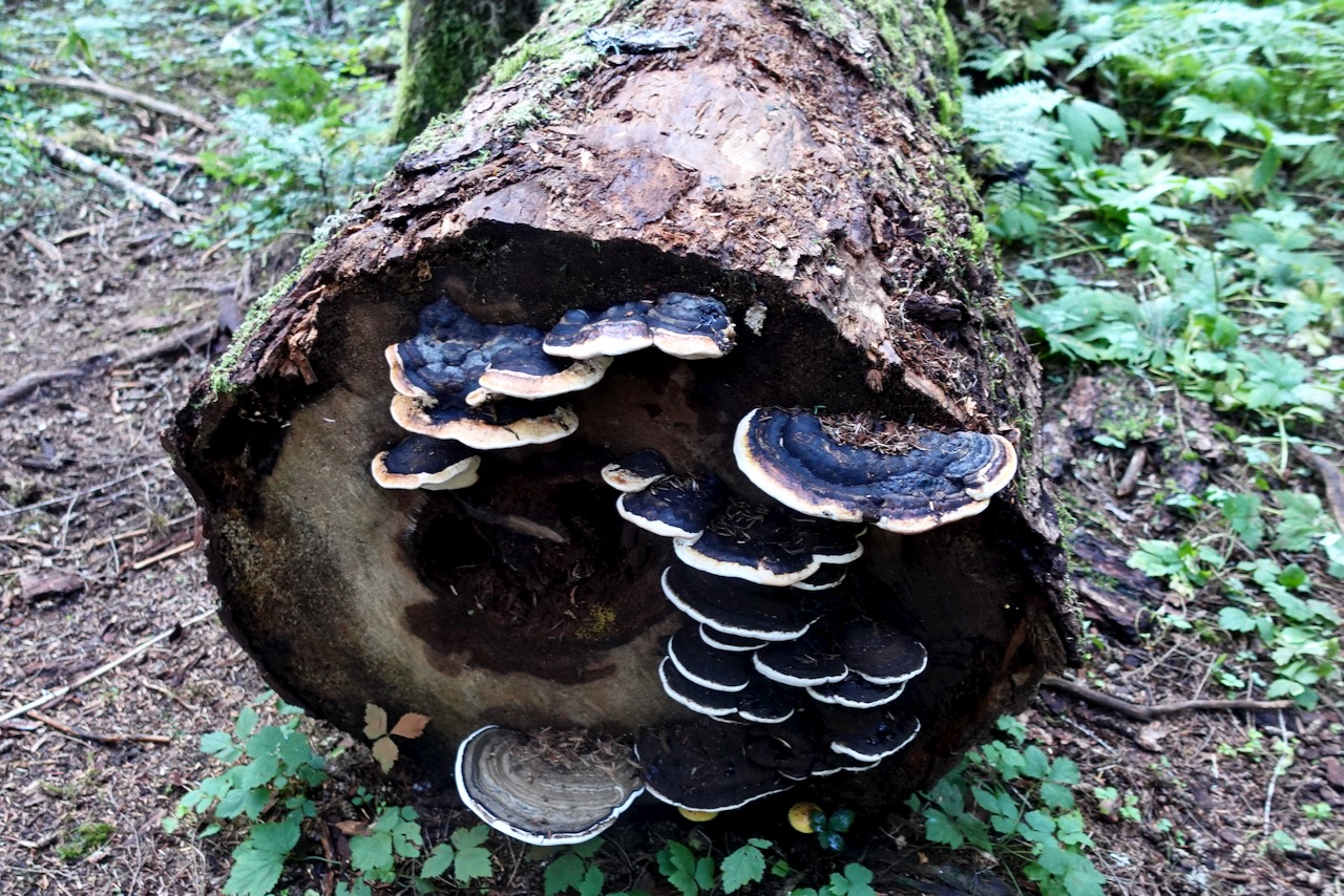
crazy weird mushrooms
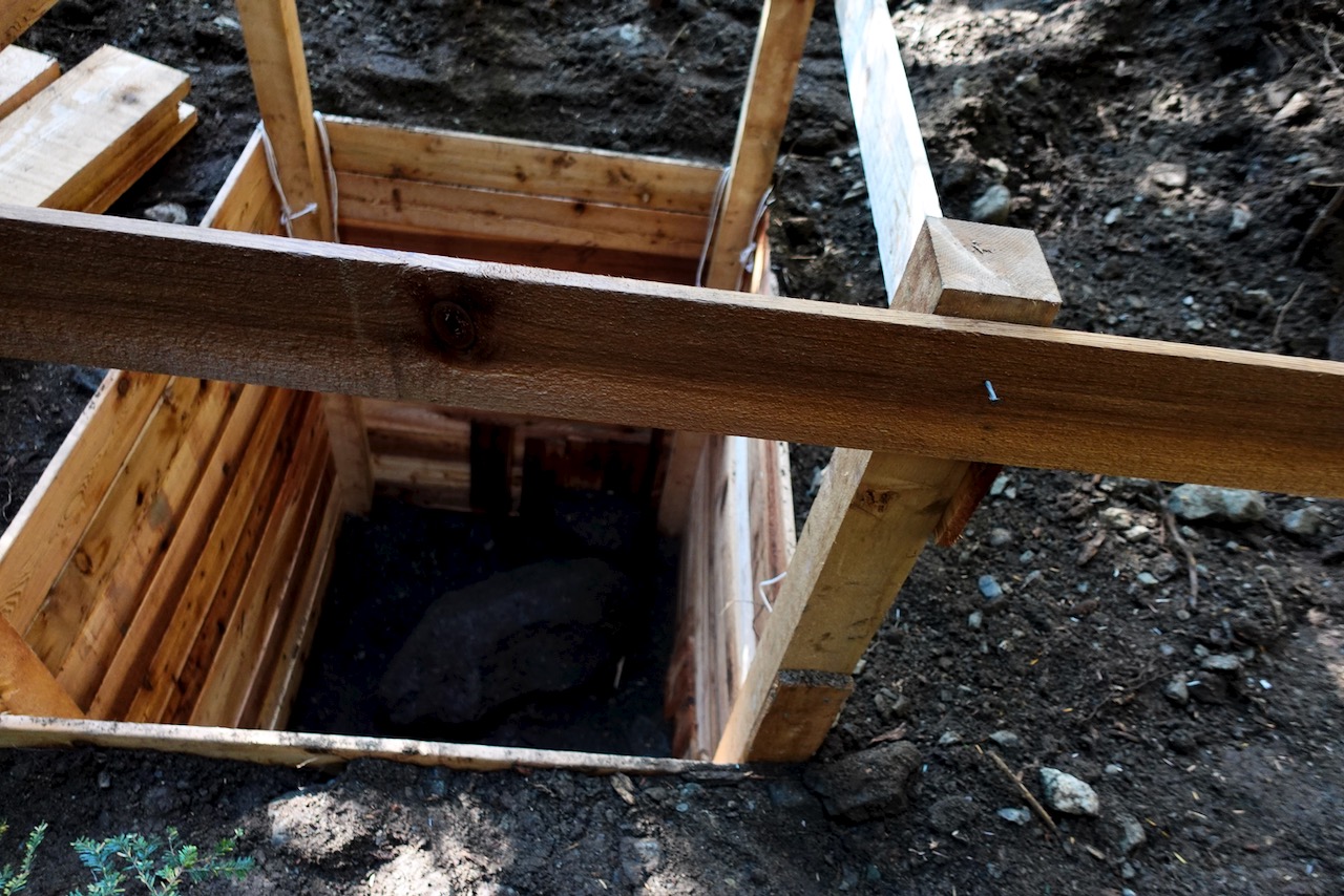
In 2020 the old pit toilets were being replaced. Temporary tent toilets in place.
Both campgrounds offer a chance to protect your food from bears. I also had cheeky rodents appear twice at dinner while camping in the Elk River.
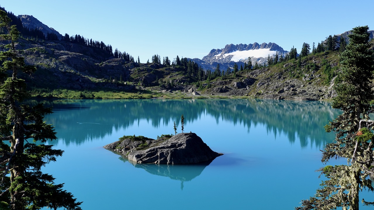
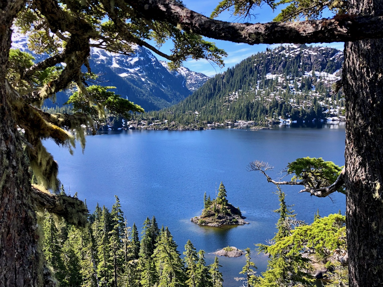
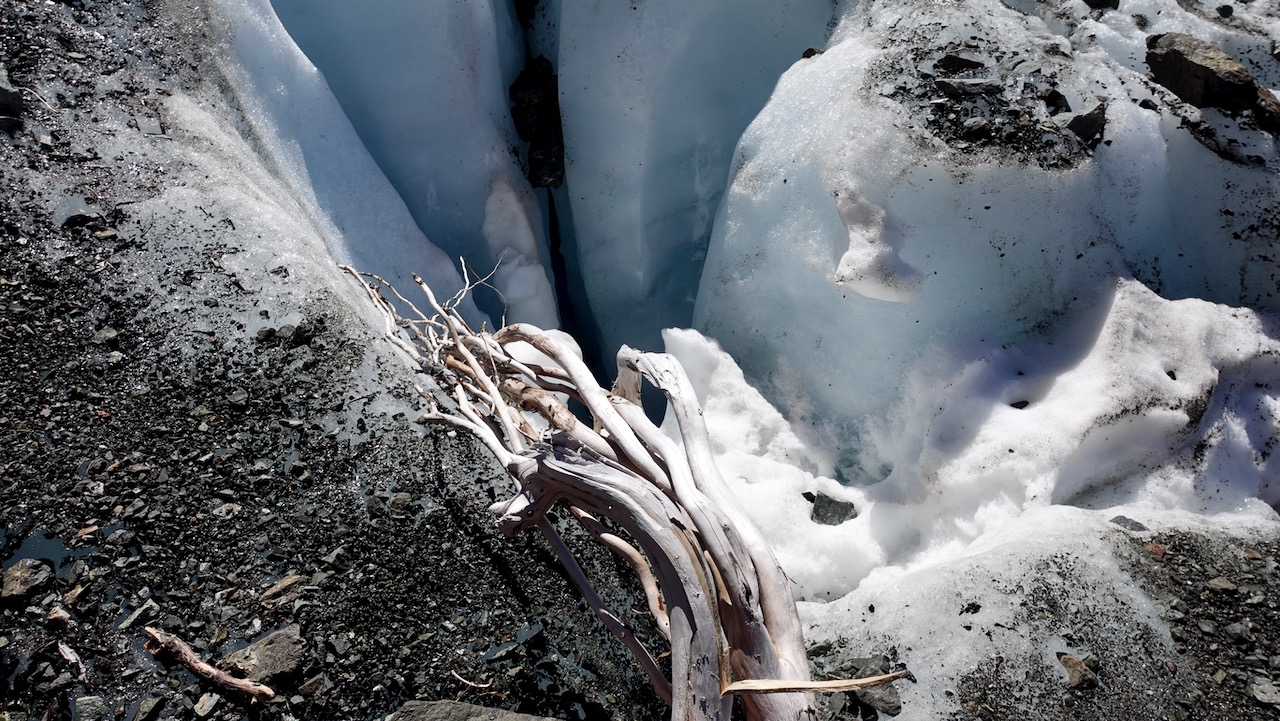
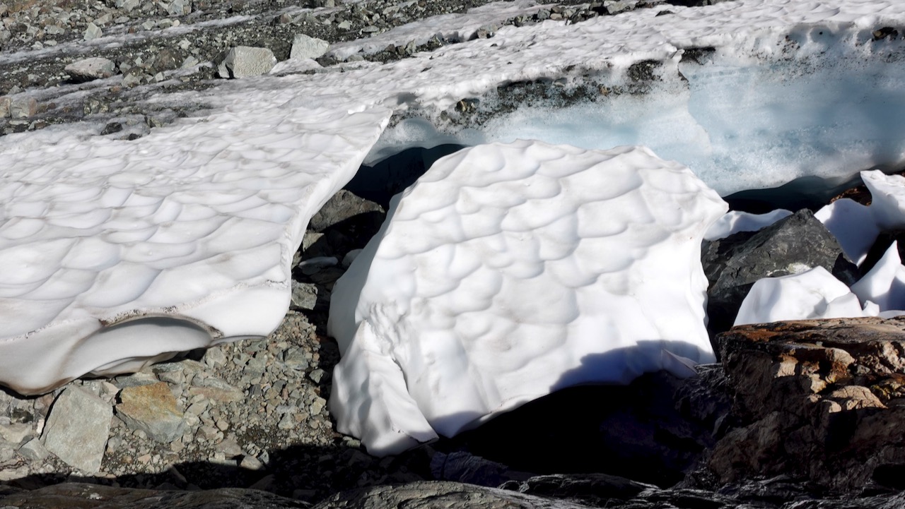
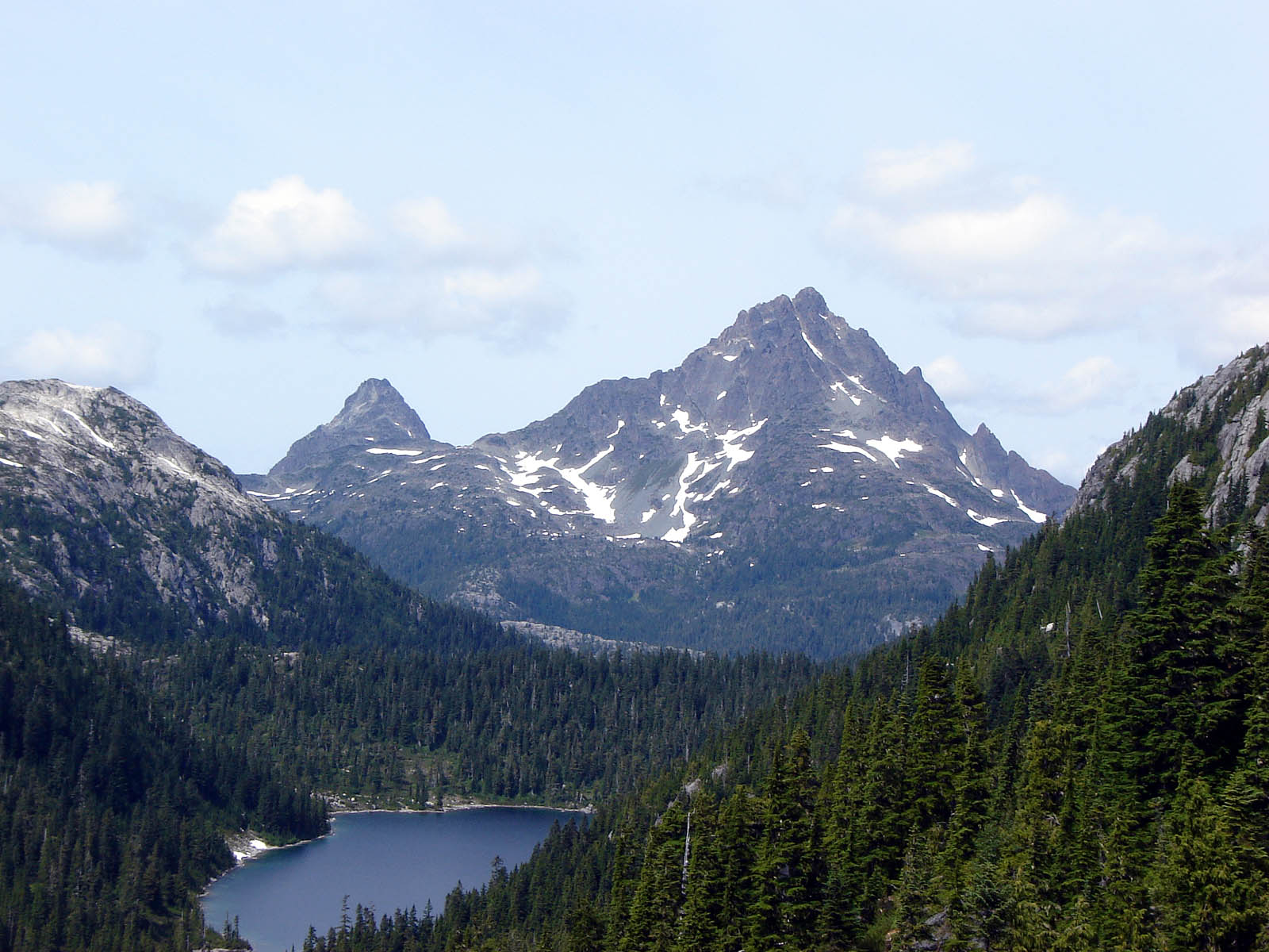
The highlight of the Elk River Trail is the last 1km scramble up to Landslide Lake.
The colours are gorgeous.
Landslide Lake was changed to the current form in 1946 by Canada’s largest recorded earthquake on land, measuring 7.2, centred in the nearby Forbidden Plateau area. The North Tower of Mount Colonel Foster sheared off, much of it collapsing into the lake.
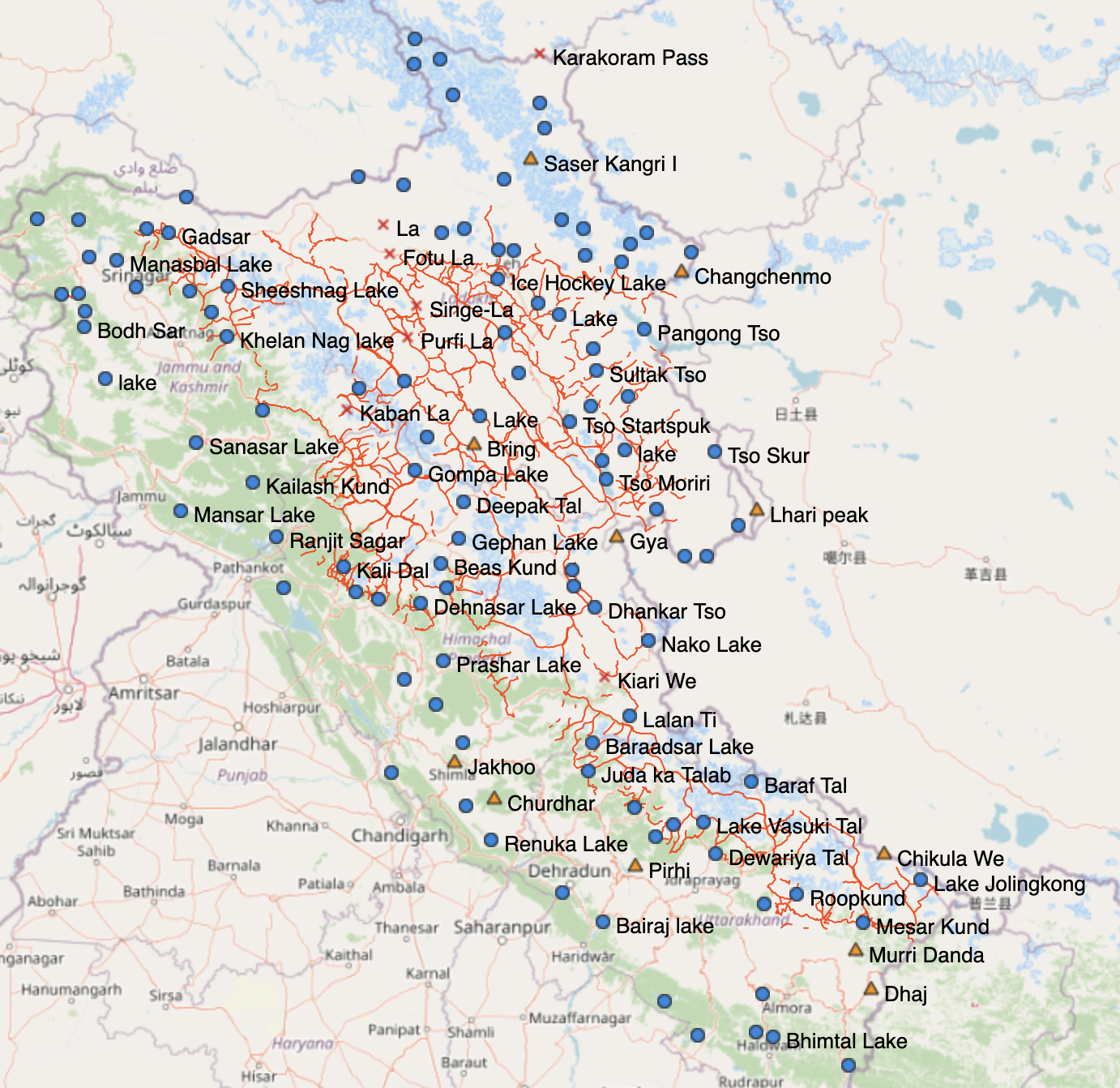
I did Markha Valley independently. But for Kuari Pass I finally signed on with a guided trek.
The hiking infrastructure in India is not well developed. Getting to and from trailheads often a headache. Next time I go to India I’ll likely sign on for trips guided by IndiaHikes.
So far, he has pulled together over 1,000 trails across Uttarakhand, Himachal Pradesh, Ladakh and Jammu and Kashmir.
It shows 600 passes, 700 high-altitude lakes and more than 10,000 reference points. …
It allows hikers to see elevation profiles and download GPS logs onto their phones rather than having to carry multiple, less detailed paper maps.
“The map has more trails than anyone could ever cover in a lifetime,” he says.
“It took me months to plan a long traverse across the Himalaya. With this new digital map, you have all the information in a single place.” …
Everything is open sourced, so can be accessed with any Open Street Maps viewer or mobile app (for free). Other hikers can add information to it and help the resource grow. …
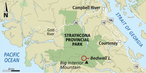
Hoping to climb Golden Hinde, the highest mountain on Vancouver Island 2,195 m (7,201 ft). September should have drier trails. Fewer bugs. … Hopefully.
Many try and fail to get to this summit. It’s a scramble up snow or rock at the top.
The mountain took its name from Sir Francis Drake‘s ship, the Golden Hind, named by an early fur-trading captain who was reminded of Drake’s ship as sunset hit the mountain
My plan is to hike the 47km Golden Hinde Traverse on the Elk River trail through to Myra Falls. I’ll only attempt the summit as a detour if conditions, health, time and weather permit. No pressure. 🙂
Cost for a guided climb is about CAD $1500 for 5 days.
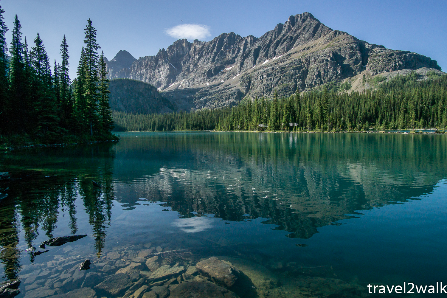
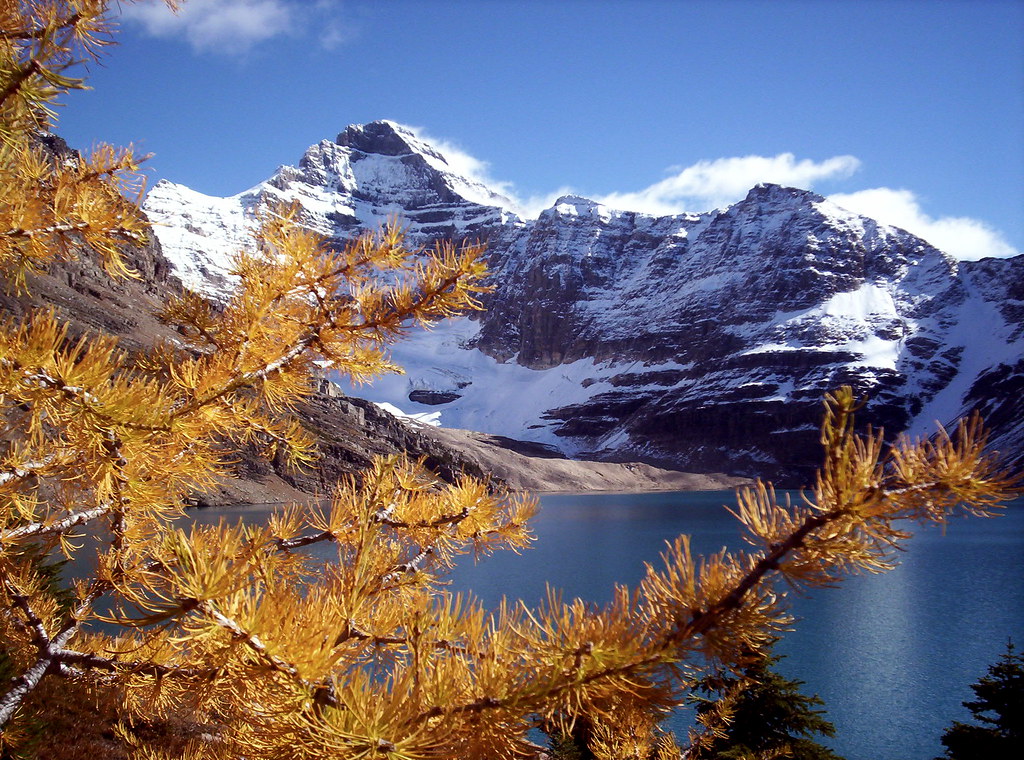
Our favourite hiking area in the Canadian Rockies is Lake O’Hara.
But it’s extremely difficult to get a reservation.
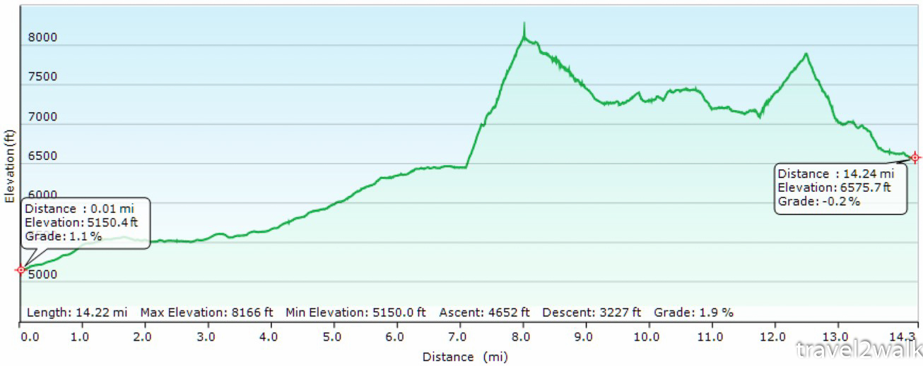
Our friends at travel2walk did the famed circuit the hard way:
distance: 14.3 miles (23.0 km)
elevation change: 4651 ft. ascent (1418 m) & 3228 ft. descent (984 m)
time: 8:23 hours (7:17 moving)
They hiked in 6.9 miles (11 km) on the Lake O’Hara fire road. Did the Circuit. And were lucky enough to get seats on the 4:30pm bus out (CAD$9.75 fee per person cash).