I look forward to this inspiring trailer every year. 🙂
Click PLAY or watch it on YouTube.
Check when the World Tour reaches your area.


Best hikes, treks, tramps in the world.
I look forward to this inspiring trailer every year. 🙂
Click PLAY or watch it on YouTube.
Check when the World Tour reaches your area.
En route to Thorung La I learned something new from a doctor in Manang at the daily HRA Altitude Talk.
High-altitude adaptation has a genetic component.
Some people who live at high altitudes suffer breathlessness, palpitations and dizziness, while others have no health problems, and now a new study reveals which genes may explain the difference.
The genetic changes, described today (Aug. 15, 2013) in the American Journal of Human Genetics, allow people to take in enough oxygen from the thin mountain air without developing the heart attacks and strokes of chronic mountain sickness.
“We have ascertained there is a major genetic component that allows populations at high altitude to live better,” said study co-author Dr. Gabriel Haddad, a pediatric pulmonologist at the University of California at San Diego. …
Altitude Sickness: Genetics May Explain Why Only Some Fall Ill
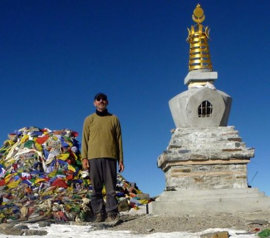
I’ve been over 5000m dozens of times, never having any altitude sickness.
Perhaps I’ve got good genes. 🙂
Read more on wikipedia – High-altitude adaptation in humans – Genetic basis:
… The underlying molecular evolution of high-altitude adaptation has been explored and understood fairly recently. Depending on the geographical and environmental pressures, high-altitude adaptation involves different genetic patterns. …
by site editor Rick McCharles
Colonel Sir George Everest (July 4, 1790 — December 1, 1866) was a Welsh surveyor and geographer, and the Surveyor General of India from 1830 through 1843.
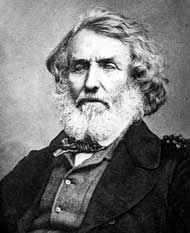 Everest was largely responsible for completing the Great Trigonometric Survey of India along the meridian arc from southern India extending north to Nepal, a distance of about 2,400 kilometres (1,500 mi). …
Many consider the Trigonometric Survey one of the greatest accomplishments of man.
He was a “humourless individual having the knack of putting everyone’s back up. But since he was a genius, his antisocial habits have been glossed over.”
– Trekking Holidays in India
He did not want Chomolungma to be named for himself. George might never have seen Everest. And had no interest in it. After all, he was Surveyor General of India. The world’s highest peak is on the Tibet / Nepal border.
… Sir George Everest’s House and Laboratory, also known as the Park Estate, is situated about 6 kilometres (4 mi) from the Mall in Mussoorie.
… The house is situated in a place from where one can catch the panoramic view of Doon Valley on one side and a panoramic view of the Aglar River valley and the snowbound Himalayan ranges on the other.
The house is under the jurisdiction of the Archeological Survey of India and has been long neglected. …
… The floor is littered with bricks, stones and cow dung. The house is also used as shelter from rain and snow by the cows, goats and horses from the nearby village. Its walls are covered with graffiti, which are mostly declarations of love. …
Day hiking (part of the Benog Tibba Circuit) to visit his former Estate, I bumped into a Christian evangelist, Ray Eicher, whose family have lived in India for generations. He set me in the right direction, in a couple of ways.


This kind of neglect of historical monuments is typical in India. My evangelist friend, who lives nearby, is sorely disappointed.
The historic Clock Tower in Mussoorie was recently torn down. At this point, plans to rebuild are stalled.
P.S.
…. Sir George Everest’s surname is pronounced … Eve-rest with “Eve” pronounced as in the woman’s name. …
 #1 New Zealand – info page
#2 Southwest USA – info page
#3 The Rockies – info page
#4 USA Sierra Nevada – info page
#5 Central Andes – info page
#6 Patagonian Andes – info page
#7 Nepal – info page
#8 Australia – info page
#9 The Alps – info page
T #10 Indian Himalaya – info page
T #10 Dolomites – info page
New Zealand is #1 for us. But the wealth of options in North America make it a more compelling destination for most.
Manasulu Circuit, Nepa with Mike Howarth (UK).
 After 10 days rounding Manaslu I ended up continuing over Thorung Pass on the Annapurna Circuit, another 5 days.

Trip reports coming SOON.
by site editor Rick McCharles
The Manaslu Trek (or Manaslu Circuit Trek) is a 14-day tea-house trek which circumnavigates the 8th highest peak in the world (8,156m).

The trek has all the elements of other treks in Nepal including both Hindu and Buddhist culture, protected wildlife, rhododendrons and wild flowers, raging rivers, precarious bridges and stunning mountain scenery.
The trek is much easier than it used to be with greatly improved trails along the Budi Gandaki river gorge. In terms of difficulty, it is comparable with the Annapurna Circuit Trek or Everest Base Camp trek. Its highlight is undoubtedly the spectacular unhindered views of Manaslu. …
Two of us plan to try this high altitude trek starting Nov. 7th. It’s touted the NEW Annapurna Circuit, the old Annapurna having been degraded by road construction. 😦
Guy Shachar posted the best almost independent (hired guide/porter, carried their own packs) trip report (2011) I’ve seen:
Manaslu Circuit Trek- Around Manaslu Trek – detailed itinerary and trail description

More of Guy’s photos
… Until recently the trek used require camping, but building of tea-houses means the trek can be completed using local accommodation. …
When trekking through the Manaslu region, ten peaks of over 6,500 metres (21,300 ft) in height are visible, including peaks of over 7,000 metres (23,000 ft) elevation. …
We plan to go very lightweight. Quite fast. Perhaps 11 days.
We carry our own packs. Have no fixed itinerary. Our guide carries his own gear. We pay his costs — including insurance. Rate is $25 / day.
A private car to the trailhead costs at least $120. We’ll take the bus both ways.
Altitude acclimatization is easy on this trip. You start at Arughat 600m and work slowly and steadily up to crossing Larkya La 5135m. Of course if anyone suffers altitude sickness signs, it’s easy to quickly backtrack.


We’re not likely to make many sidetrips.
Wish us luck. 🙂
by site editor Rick McCharles
day 0 | day 1 | day 2 | day 3 | day 4 | day 5 | day 6
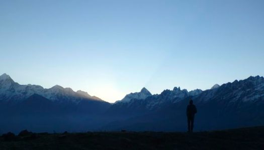
We arose at first light last morning, the coldest yet.
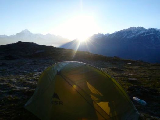
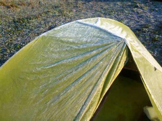
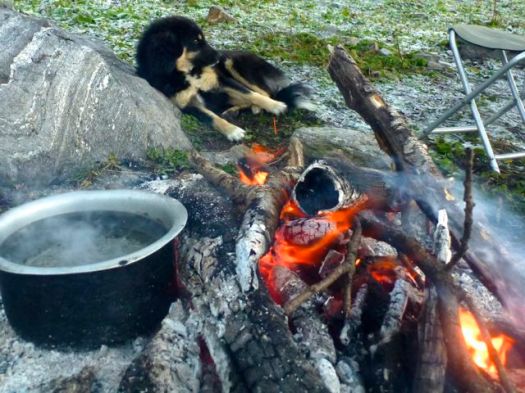
Our adopted dog was quick to the fire.
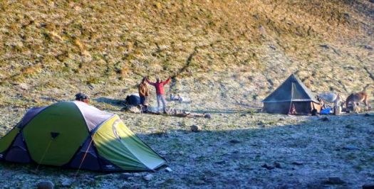
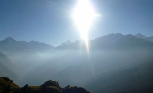
I’d have to rate the day before and the two days after Kuari as about as good as hiking gets.
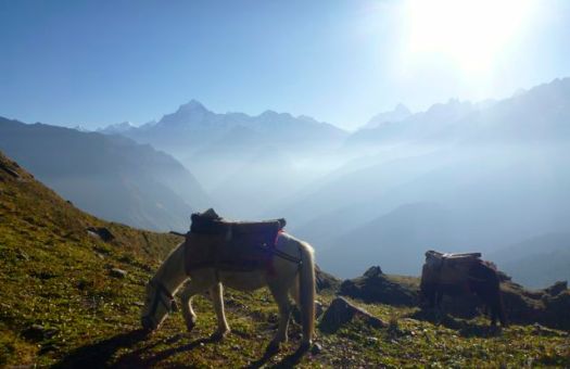
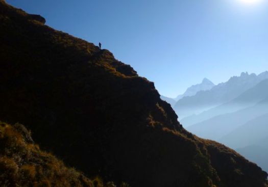
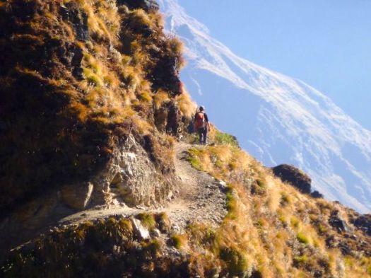
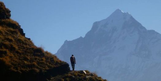
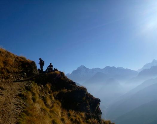
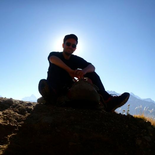
Our guide was happy to get back to mobile phone service. He confirmed out pick-up time.
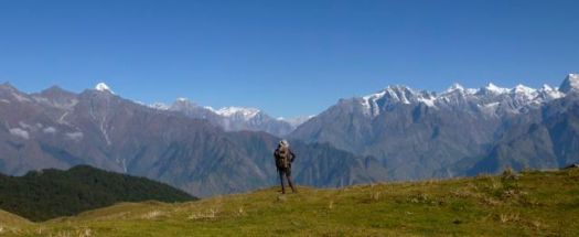
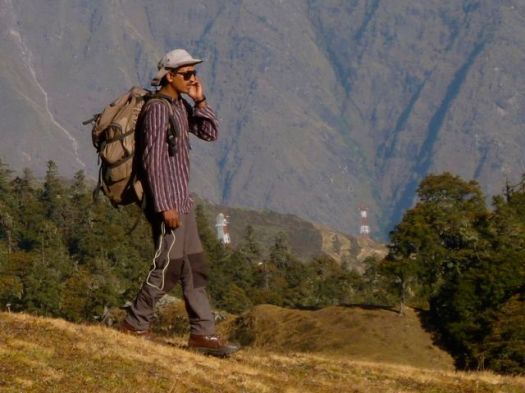
We wandered lazily down through huge alpine meadows. Please that the trek had been a success.
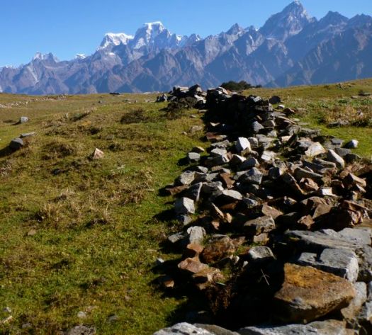
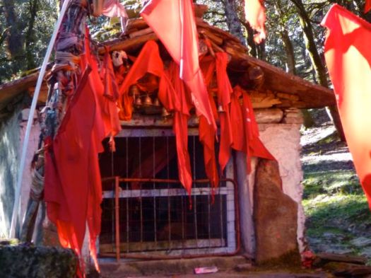
Reaching this Hindu Temple having connection to great epic Ramayana means you’ve almost completed the Kuari.
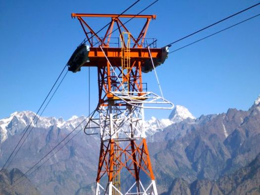
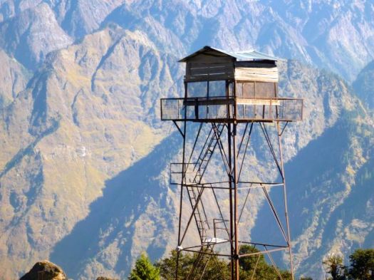
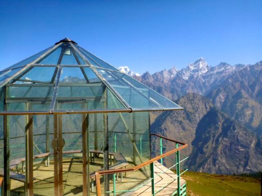
We finished at the Auli Ski Resort, India’s finest. (Ski Jan-March.) Asia’s longest Cable Car (4km) is a must. The road to get there is deadly. This was one of the hosts of the 1st South Asian Winter Games in 2011.
Our driver was waiting just outside the gates. 🙂
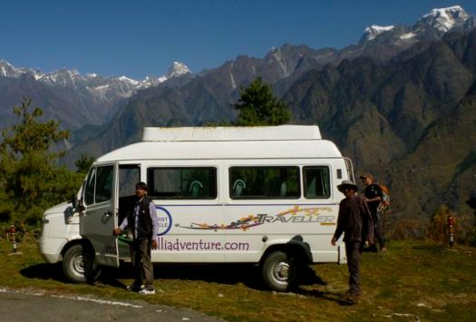
It was 10hrs back to Rishikesh with a hotel stop en route.
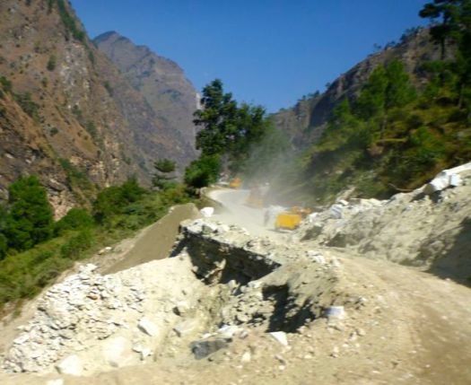
The most dangerous aspect of Himalaya trekking by far is the drive to and from the trailheads. Washouts and landslides are frequent.

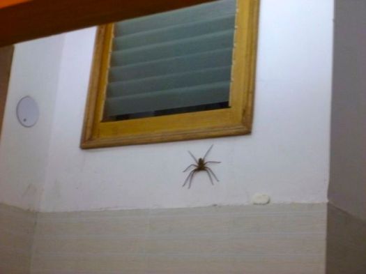
OK. The giant spider we found awaiting us at our (Le Meadows) Hotel room might look even scarier. 🙂
Before the trek I knew about the June flooding, but not exactly how bad it had been. More than 5700 dead. 😦
One of the 4 Holy Hindu mountain temples, nearby Kedarnath, was inundated with water, mud and boulders from landslide. Several died from drowning or being crushed by stampeding pilgrims.
Yet the roads were back to “normal” by October.
See all high resolution photos from this day.
End.
If you might be interested in trekking Kuari yourself, start with our Kuari Trek information page. 🙂
by site editor Rick McCharles
day 0 | day 1 | day 2 | day 3 | day 4 | day 5 | day 6
We rose early, keen to get up to the Kuari Pass 3640m (12,000ft) in early light.
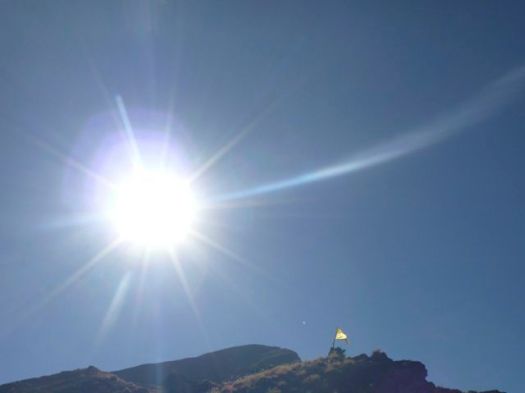
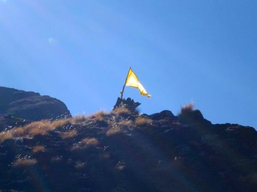
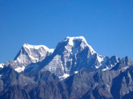
WOW!
I left a Summit Stone and a 2 Rupee coin at the Alter, thanking Shiva for a safe crossing.

Actually, the Trail climbs a fair bit after the famous Pass.

Here’s the highest point we achieved on the Trek.

Plus perhaps 50cm. 🙂
Anil had just had his fancy boots resoled. But the sole was coming loose. 😦

Our mules caught us here.


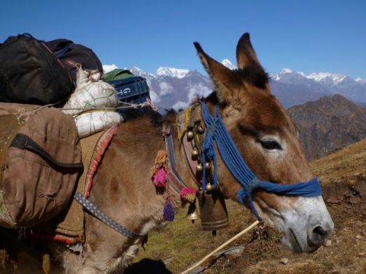
Note how mule drivers use stones to balance the load.

Several times I saw the scat of small carnivores. Perhaps Pine Martin. But we never spotted any rodents or rodent eaters.

This handsome bridge had been obliterated just this previous monsoon.

The best section of the trip was from here to the finish. LOVE the ridges.

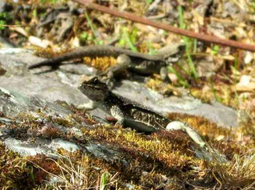
Several times we saw a small lizard that moves like a snake.

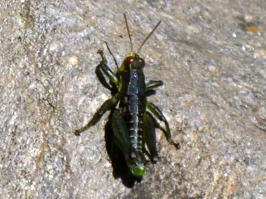
Aside from ants, the most common insect was this cricket (?).
After 6 days, we finally encountered another trekking group doing a 2 day Kuari.

One of the Indian men had worked a year in Alaska!

A dog following them reversed directions and joined us for an evening. It’s not unusual to have dogs follow you in the Himalaya. One once climbed up to perhaps 6500m with us on Everest north.
The fantastic view from my tent included the elusive & mysterious Nanda Devi, highest mountain entirely in India.
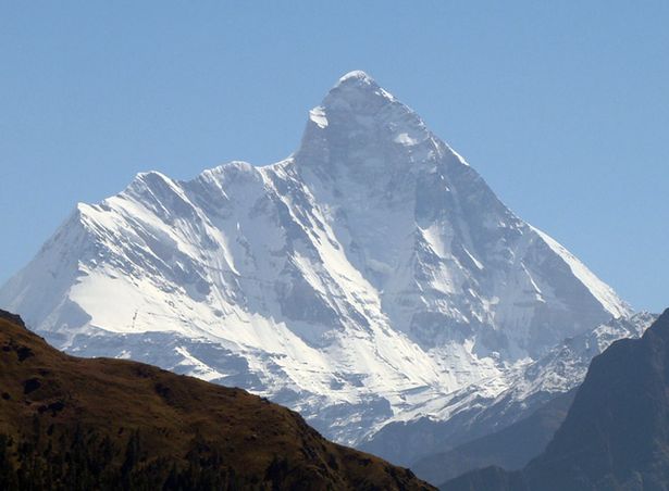
From here you can gain the Rishi Gorge, a deep canyon, almost impossible to follow. It wasn’t until 1934 that Eric Shipton and H.W. Tilman, with three Sherpa companions, Angtharkay, Pasang, and Kusang, finally discovered a way through into the Sanctuary. Any other route involves difficult passes, the lowest of which is 5180m (16,990 ft).
Tilman and Noel Odell made the first ascent of 7,816 metres (25,643 ft) Nandi Devi in 1936, the highest summit climbed by man until 1950. On a shoe-string budget. Only seven climbers, no fixed ropes, nor any Sherpa support above 6,200 m (20,300 ft).
Tenzing Norgay stated that his most difficult peak was Nanda Devi East, the lower summit.
For religious significance and protection of the its fragile ecosystem, Nanda Devi National Park was declared a UNESCO World Heritage Site in 1988. All access had been banned 1982.
On the Trail we learned that the Park has been partially opened recently for restricted number of tourists.
Tempting …
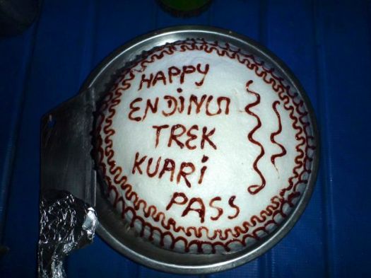
Our cook outdid himself for out last meal on the Trail.

Pizza. Spring Rolls. French fries …
And for dessert …
See all high resolution photos from this day.
by site editor Rick McCharles
day 0 | day 1 | day 2 | day 3 | day 4 | day 5 | day 6
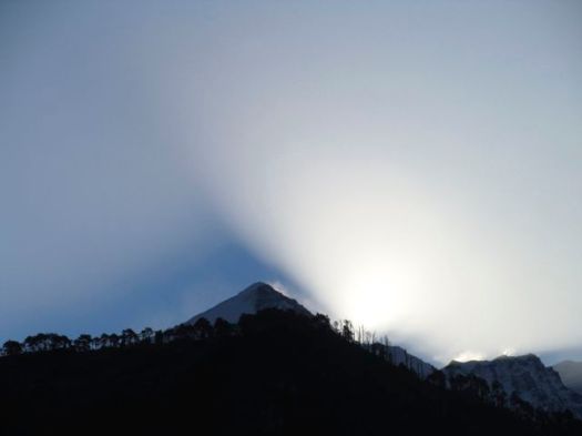
Another beautiful morning.
Another fantastic breakfast.
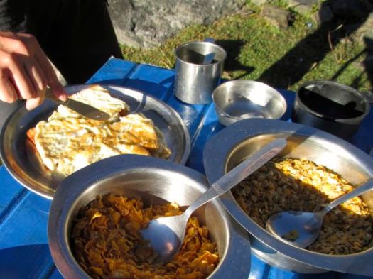
Omelette. Toast. Muesli. Corn flakes. And much more.
Alf and I are both coffee addicts. We’d have 2-3 mugs to start each day.
We shared this camp with hundreds of these smelly, entertaining characters.

Climbing over the first ridge we saw our titular destination, Kuari Pass.
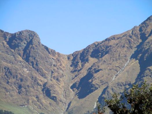
On both sides of Kuari we saw no people. The herds were already gone south for the season.
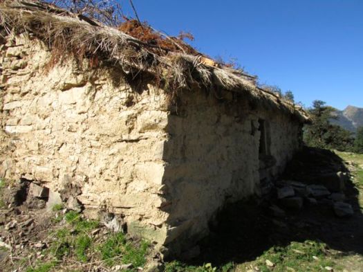
Seasonal herders huts were empty.
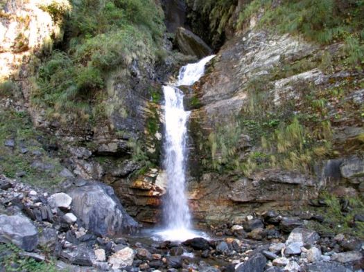
This was the biggest waterfall en route.
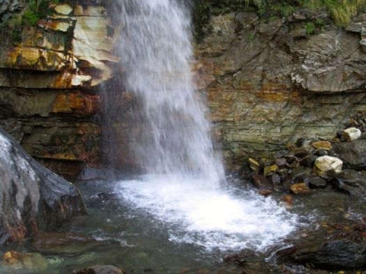
It dropped hundreds of metres in stages.
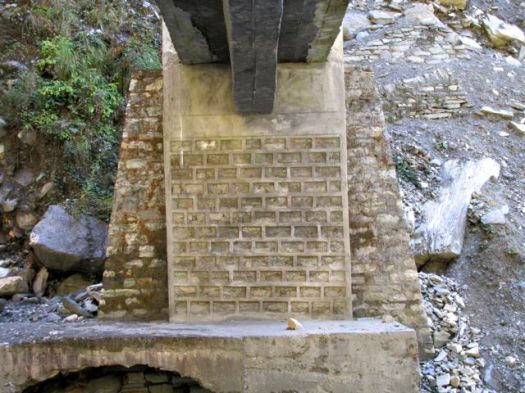
I doubt this bridge will EVER be taken out by flood.
I once had a backpack damaged on a pack animal. Straps rubbed a hole in it.
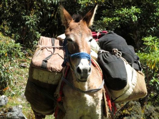
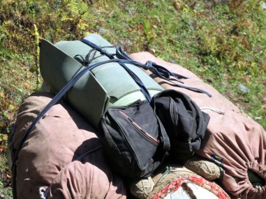
Happily, our mule drivers were very careful. Sleeping mats were wrapped around our gear.
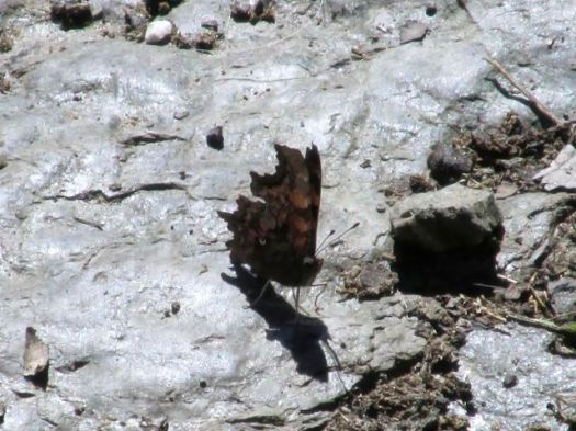
There are butterflies everywhere in the Himalaya.
Alf and I thought we might DASH up to the pass for sunset.
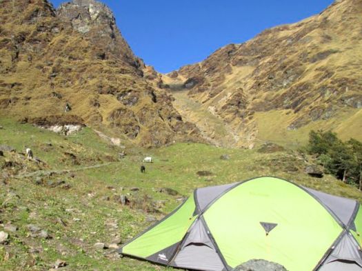
Distances are deceptive. That climb takes 90min!
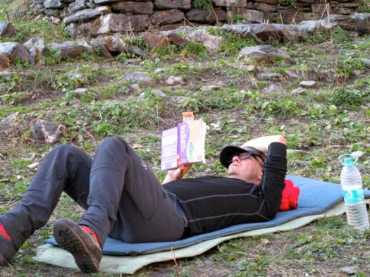
Instead we used the afternoon for reading and writing. There’s plenty of time for both on a guided trek. I carried two iPods. And began Games of Thrones.
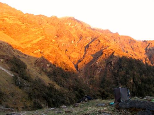
Alpenglow was amazing this evening.

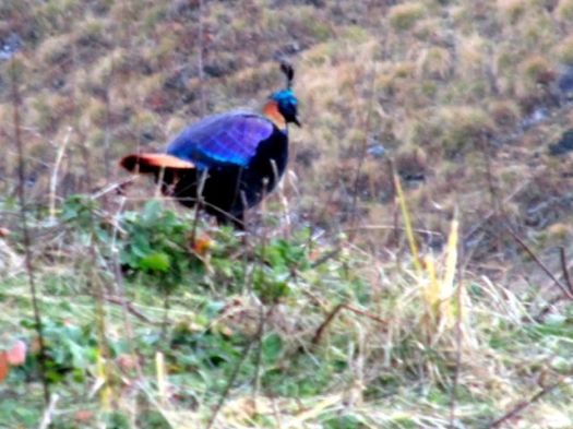
That afternoon I’d tried to get close to an insanely colourful Himalayan Monal.
And we were spied upon by a sentinel on the ridge.
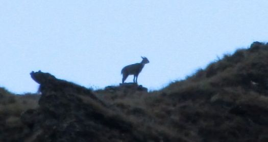
Our cook was sure it was a bharal (Himalayan blue sheep). Our guide wasn’t so sure. Compare with another photo of bharal from nearby Nanda Devi National Park.
Alpine Ibex? Serow? Goral?
Leave a comment if you can identify by that profile.
It was Blue Sheep being pursued by George Schaller and Peter Matthiessen in Nepal 1973. Their adventures documented in one of my favourite books, The Snow Leopard.
BEST of all, just before dark Alf spotted “Baloo“. A Momma Asian black bear and 3 cubs.
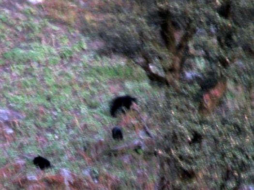
That photo was taken at 18 times zoom. The zoom was sufficient, but light was fading fast.
Those are the first bears Alf has seen in the wild. And the first our Guide had seen on this particular trek. A rare sighting.
See all high resolution photos from this day.
by site editor Rick McCharles
day 0 | day 1 | day 2 | day 3 | day 4 | day 5 | day 6
A highlight of this guided trip was the food. Here’s our chef, Kumar, who cooks inside with headlamp.
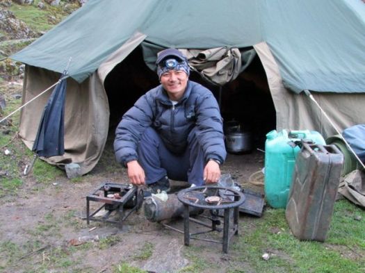
He’s from Nepal. But has cooked all over the Himalaya, including Ladahk.
One of the mule drivers cooked up Chapattis in the fire, fluffing them right in the ash.
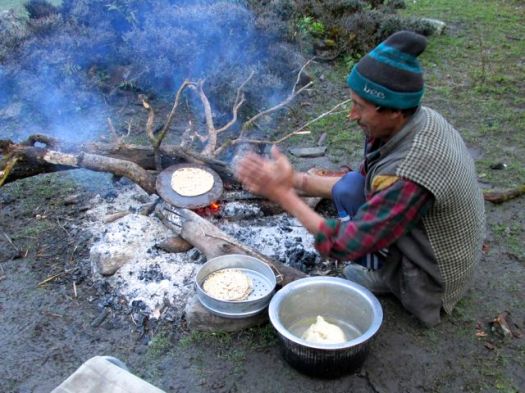
Another treat was our hot water wash-up every morning.

We began to get glimpses of snowy peaks.
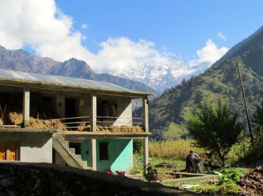
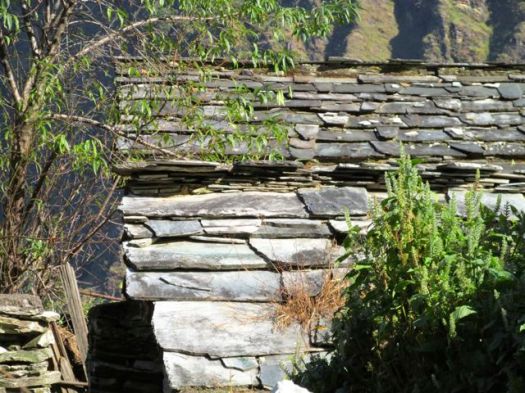
Some of the most prosperous villages use slate roofing.
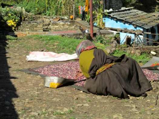
This woman was separating seeds from chaff.

Another was separating beans.
Chilli peppers grow well here. As does seemingly everything.


Quality of bridge and road construction seems superior to that of Nepal and Tibet.
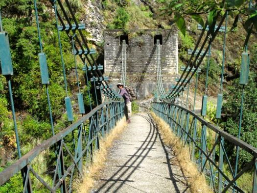

That bridge is maybe 200m high.

The scale of everything in the Himalayas is deceptive.

People here want roads and electricity. The power lines are often out-of-service, however.
To this point, we’d seen less wildlife than I hoped.
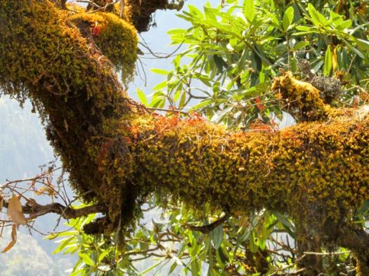
The trees are grand, however.


And we did see one troop of Gray Langur monkeys in the wild. We’d seen hundreds in Rishikesh, of course.

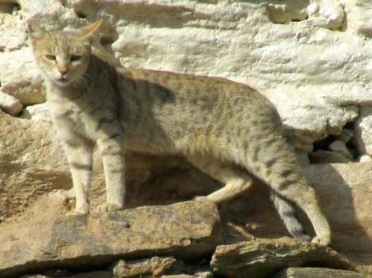
Here’s a rarer sighting. A house cat.
We mostly spent time with farm animals.


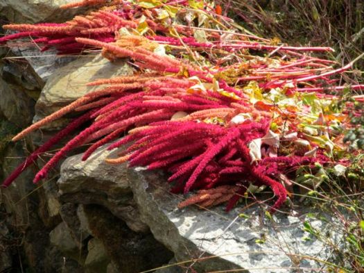
My favourite of the crops was this gorgeous red grain, just ready for harvest.

We again had some rain late afternoon.

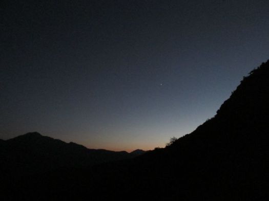
Nights were always clear. Stars and Milky Way super sharp until moon rise.
See all high resolution photos from this day.

