Finally saw the $55 million Hollywood blockbuster – which has grossed $137.4 million, so far.
Everest has received generally positive reviews from critics. On Rotten Tomatoes, the film holds a rating of 72%, based on 178 reviews, with an average rating of 6.7/10. …
Click PLAY or watch the trailer on YouTube.
Jon Krakauer, author of Into Thin Air, denounced the movie, stating some of its details were fabricated and defamatory. …
The widow of Scott Fischer is not happy, either.
Kraig Becker:
Hollywood has a along history of making mostly bad movies about climbing and mountaineering. …
… few films can hold a candle to Touching the Void for instance. But now, the big blockbuster production Everest is set to get a wide release in theaters this week, and if you’re looking for well made, at times harrowing, film about high altitude climbing, you certainly could do a lot worse. …
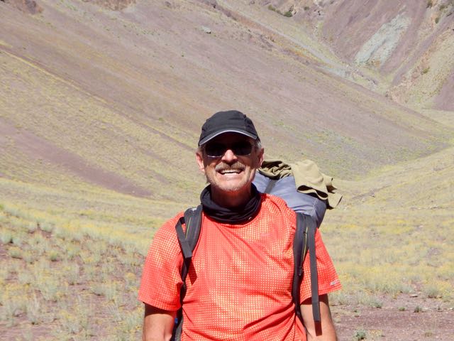
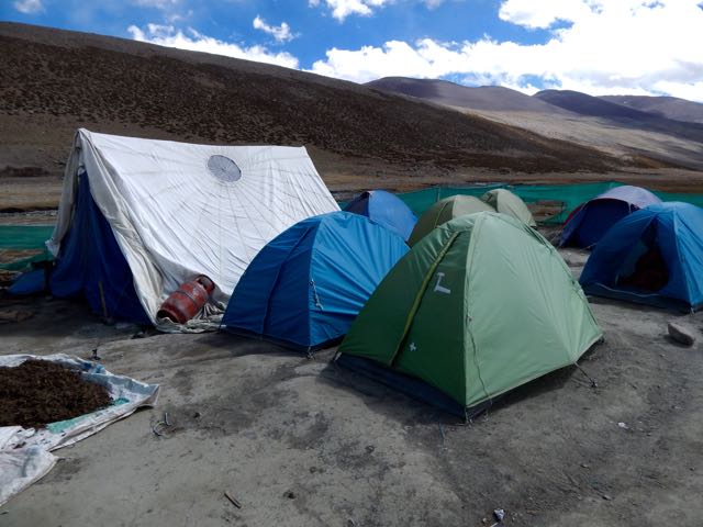
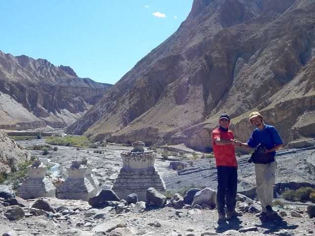
The film is based on the actual events that took place back in 1996, when one of the biggest disasters in mountaineering history took place. The story is a well known one in mountaineering circles of course, with Jon Krakauer’s Into Thin Air most famously telling the tale. …
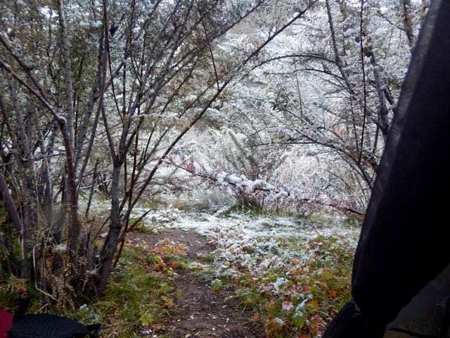
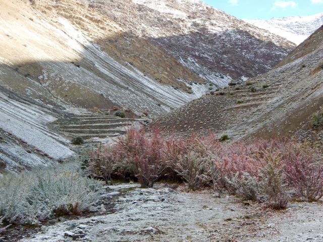
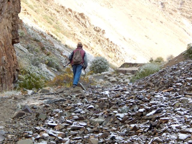
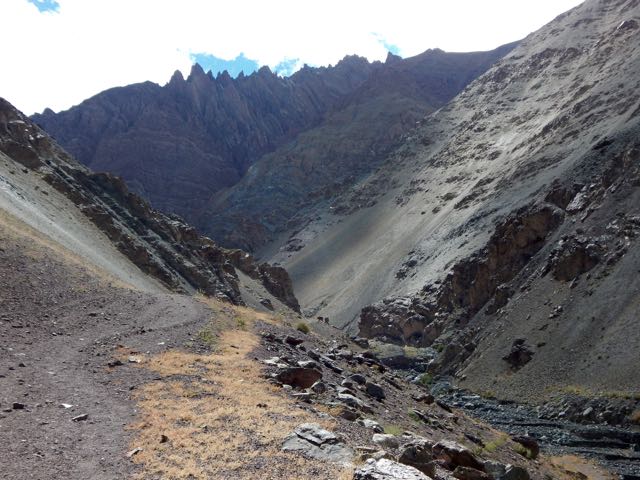
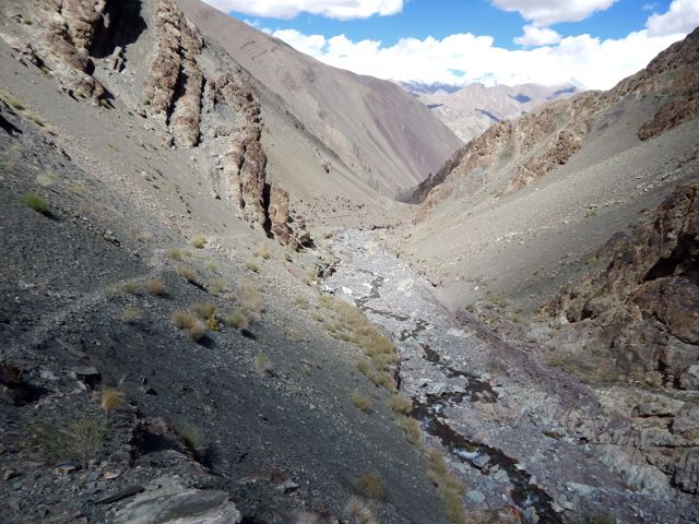
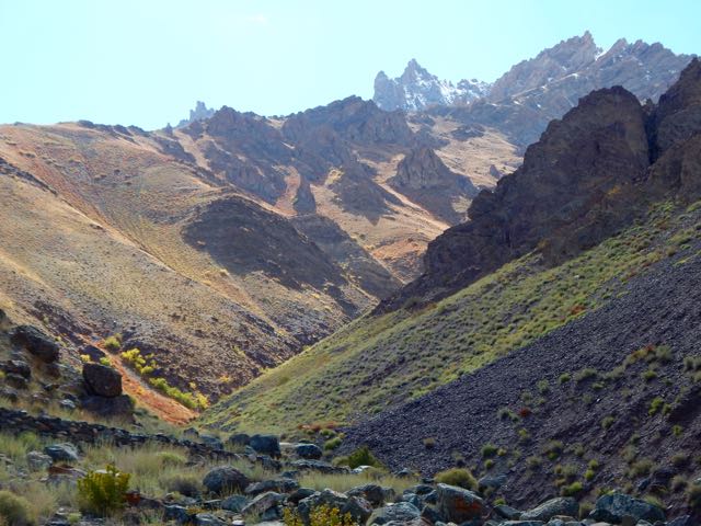
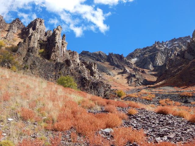
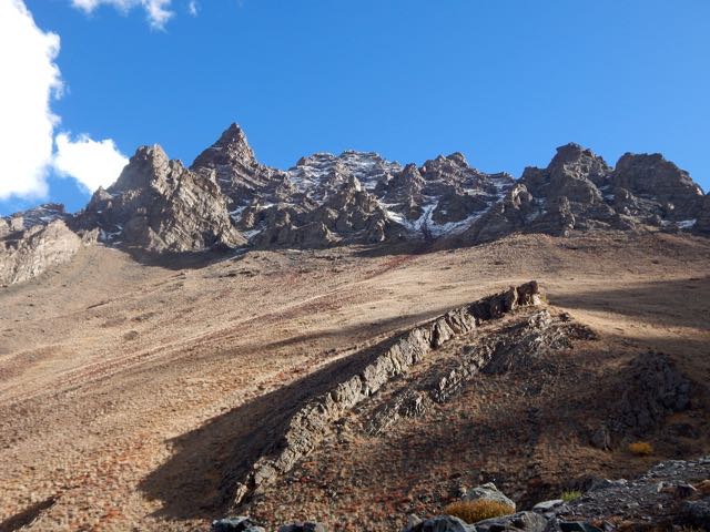
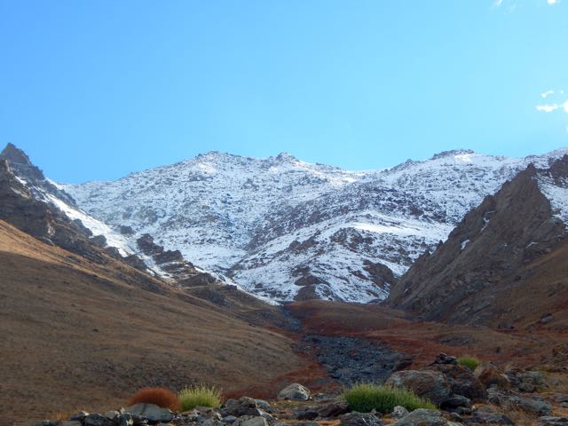
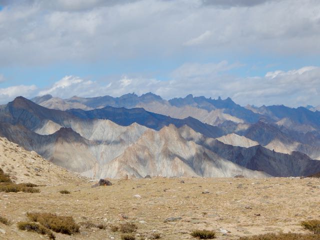
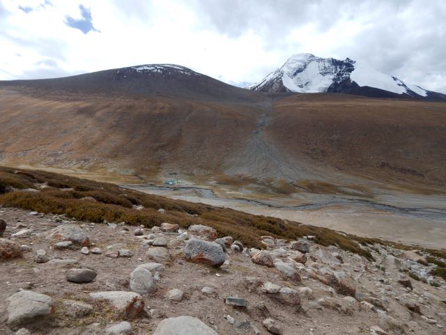
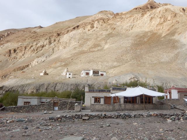
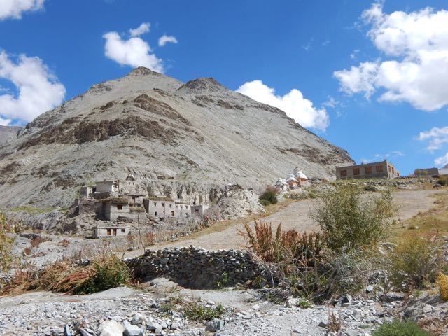
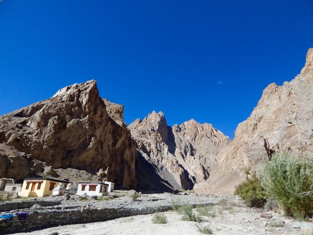
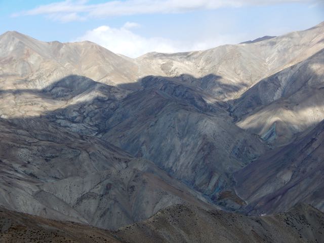
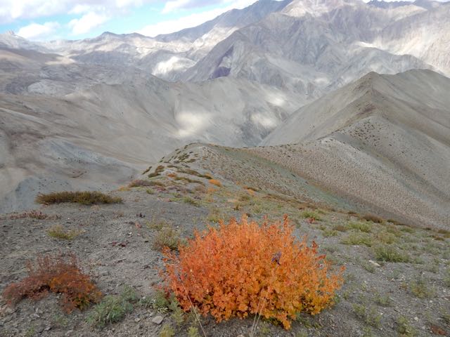
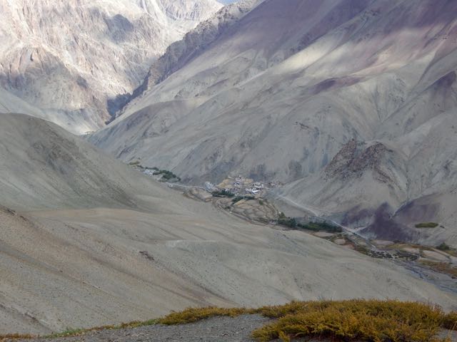
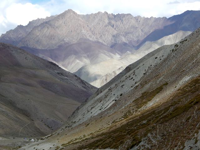
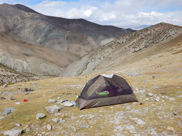
… This is a film that is beautifully made, and seeing sweeping shots of Everest, and the Khumbu Valley that leads up to it, was breathtaking. …
Probably my favorite aspect of the film was Jason Clarke’s portrayal of Rob Hall. He did a great job of selling the character, and was the centerpiece of the entire movie. …
Adventure Blog – Movie Review: Everest Gets It Right – Mostly
I don’t expect Hollywood films to get EVERYTHING right. Anatoli Boukreev – for example – could barely speak English, I understood. Until this film.
I liked it even better than Kraig. (And much better than Krakauer). 🙂
I must have cried for 30 minutes or more.