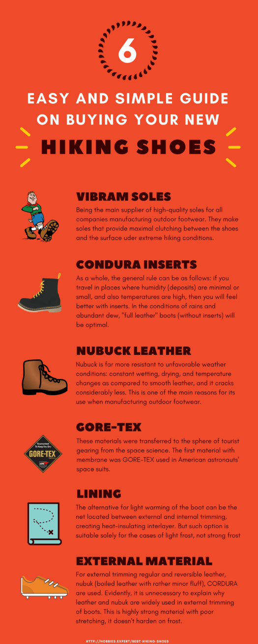
The hobbies.expert site posted advice and a list of recommended hiking shoes for men and women.
Here are their 6 most important considerations.

Best hikes, treks, tramps in the world.
The hobbies.expert site posted advice and a list of recommended hiking shoes for men and women.
Here are their 6 most important considerations.
I’m currently testing the new Columbia’s OutDry Extreme technology. So far, so good.
Seems to me this kind of rainproofing is the future.
In the meantime, here are some good tips on staying dry and warm on the trail.

Source: Partselect.com
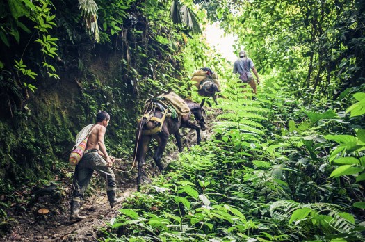
Our favourite hike in South America is getting easier. Locals are developing a guided trip where you could sleep under a roof every night.
Click over to Adventure Junkies — HIKING THE AUSANGATE TREK IN PERU

Edward Dorian is a student of Outdoor Environment and Sustainability Education in the U.K.
He put together some good reminders for us all. Check it out.
The Seven Principles:
Plan Ahead and Prepare
Travel and Camp on Durable Ground
Leave What You Find
Dispose of Waste Properly
Respect Wildlife and Farm Animals
Minimise the Effects of Fire
Be Considerate of Others

Geoff Bedeck:
Swarms of aqua-blue butterflies, foaming waterfalls, hidden swimming lagoons, lime-green parakeets and chirping songbirds high up in the trees – this was what I’d come to find in the verdant Colombian jungle, along the winding trail to the Lost City.
One of our best hikes in South America.
Khopra Ridge (aka Chopra Danda) looks like an ideal first acclimatizing hike for those arriving in Nepal. It can be done guided or independently.
See one guided itinerary from Epic Adventures.
It’s new so carrying a tent as backup for teahouses is recommended for independents.
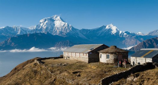

KimKim independent trip report.
the Backbone Trail, stretches about 67 miles through the Santa Monica Mountains that ring Los Angeles, and opened in June after more than 50 years in the making.
The trail, which connects Point Mugu State Park in Malibu to Will Rogers State Historic Park in Pacific Palisades, has evolved slowly over the years. Non-government volunteers worked with state and federal park employees to fund and build the path, and to acquire the land necessary to connect the pieces….


Secretary Zinke Announces Record Visitation to America’s National Parks
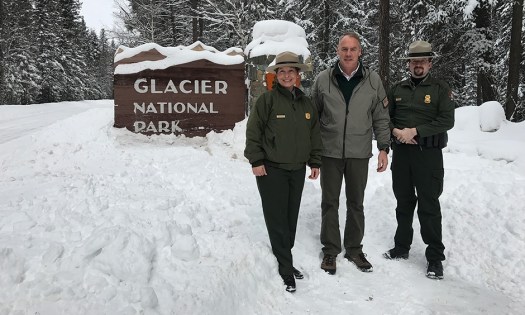
In 2016, the National Park Service set a record for recreation visits for the third year in a row. NPS units received nearly 331 million recreation visits, breaking 2015’s record by 23.7 million visits. …
(via Huckleberry Hiker)
I just bought a pair of these from Amazon. So far, so good. I’m planning to change over all my footwear.
Click PLAY or watch it on YouTube.
