Kraig Adams does Laugavegur Fimmvörðuháls, Iceland

His most EPIC video yet, I’d say.

Plenty of drone footage.

River crossings were his greatest challenge. Happily, Kraig had comparatively good weather.

This is definitely the BEST and most POPULAR trek in Iceland.

Click PLAY or watch it on YouTube.

Hike Blåvatnet, Norway – The Blue Lake

The most popular day hike in the Lyngen Alps, way north of the Arctic Circle, is to Blåisvatnet.

A striking blue colour with steep mountains in the background.

It’s considered an EASY hike for the family — but I rolled my ankle a little twice on the rocks and scree.

About 8km return, but watch your footing.

Click PLAY or watch a summer video on YouTube.

It’s fairly close to the Svensby ferry landing.

Personally, I wasn’t all that impressed by Blåisvatnet. There are gorgeous lakes everywhere in Norway. For me this wasn’t anything special.

In fact, I preferred another hike even closer to Svensby ➙ I had the Barheia summit all to myself. The much-more-famous Blue Lake was super crowded the day I was there.

Related – trip report – StunningOutdoors 

It is available on AllTrails.

Hiking Arctic Norway – Barheia, Lyngen Alps

Trip Report by BestHike editor Rick McCharles

Click PLAY or watch a #shorts on YouTube.

Barheia is not one of the famous hikes. In fact, I only learned of it from a hiking guidebook I found at a nearby hostel.

MOST day hikes here required a lot of vertical before getting to the great vistas.

Only 350m? Only 1 hour?

Let’s GO.

It’s about 6.8km return from the trailhead — once you find it well above the highway campground.

AND it’s very conveniently located in Svensby, close to the ferry dock. You can easily walk from the ferry.

Most tourists drive right past on their way to the most popular day hike in the area, Blåisvatnet (the Blue Lake). Personally I enjoyed Barheia much better. AND had the summit to myself. The Blue Lake trail is crowded with hikers high season.

Confusingly, there’s a trailhead sign close to the campground on the highway. But the start is actually higher up the mountain, well above the campers.

Once there, you can’t get lost as it’s blazed red. Useful when the snow falls.

related – Wild Planet trip report

Climbing Fløya, out of Tromsø, Norway

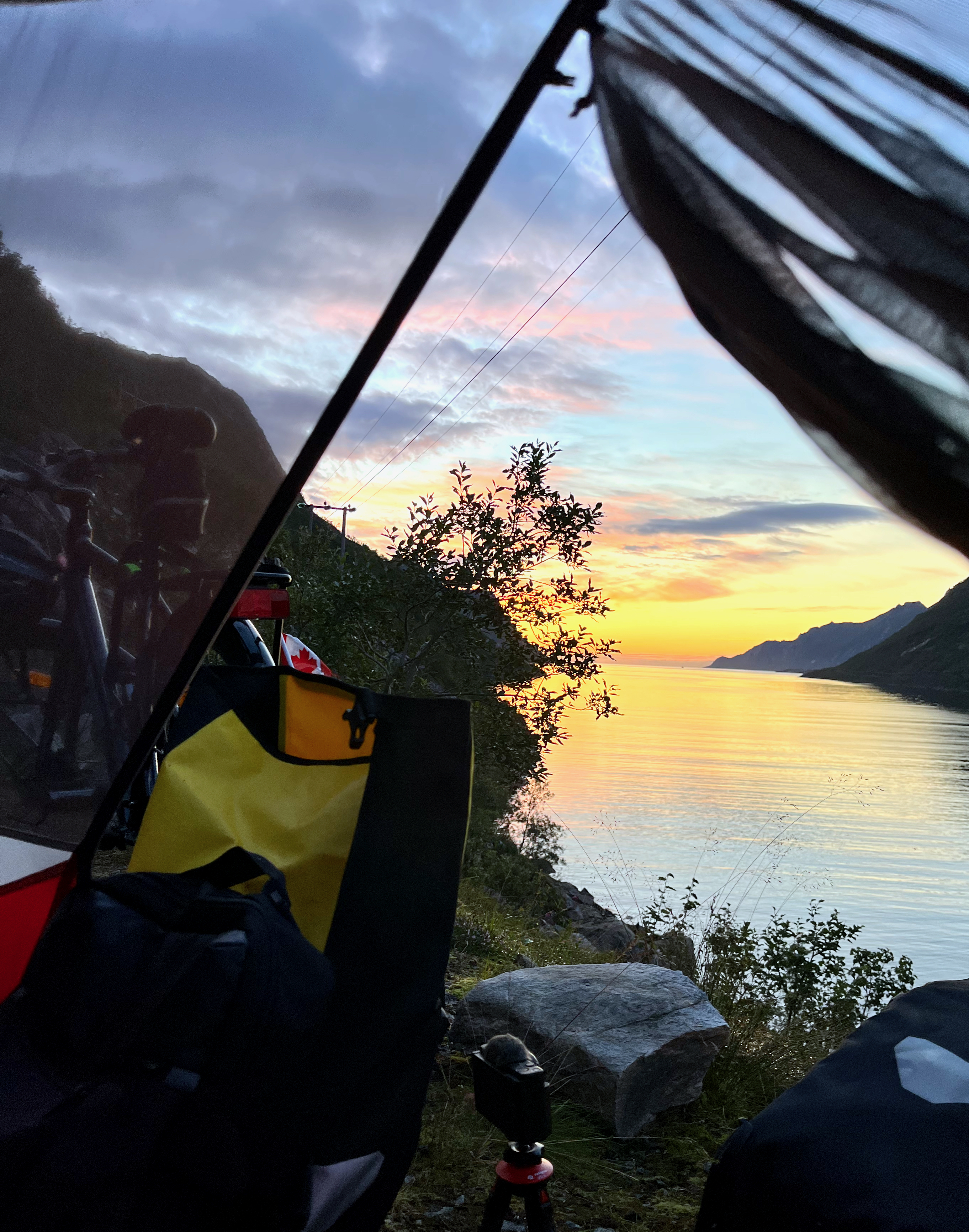
I flew to Tromsø to begin a long bikepacking tour of the west coast.

Sadly, SAS (Scandinavian Airlines) accepted money from me ➙ then didn’t deliver my bicycle and gear to Norway. It sat untouched at Heathrow airport for days. 🤨

Airlines should not offer flights if they don’t have what they need to deliver.

On the upside, there is excellent hiking out of Tromsø.

Click PLAY or see highlights on YouTube.

Tromsø is 350 kilometres (217 mi) north of the Arctic Circle.  The summer sun doesn’t set until July 27th.  I was there July 24th.

At 69°, it is north of Reykjavík, for example. 

On my only other hiking trip to Norway I made it as far north as the Lofoten Islands, but not to Tromsø.

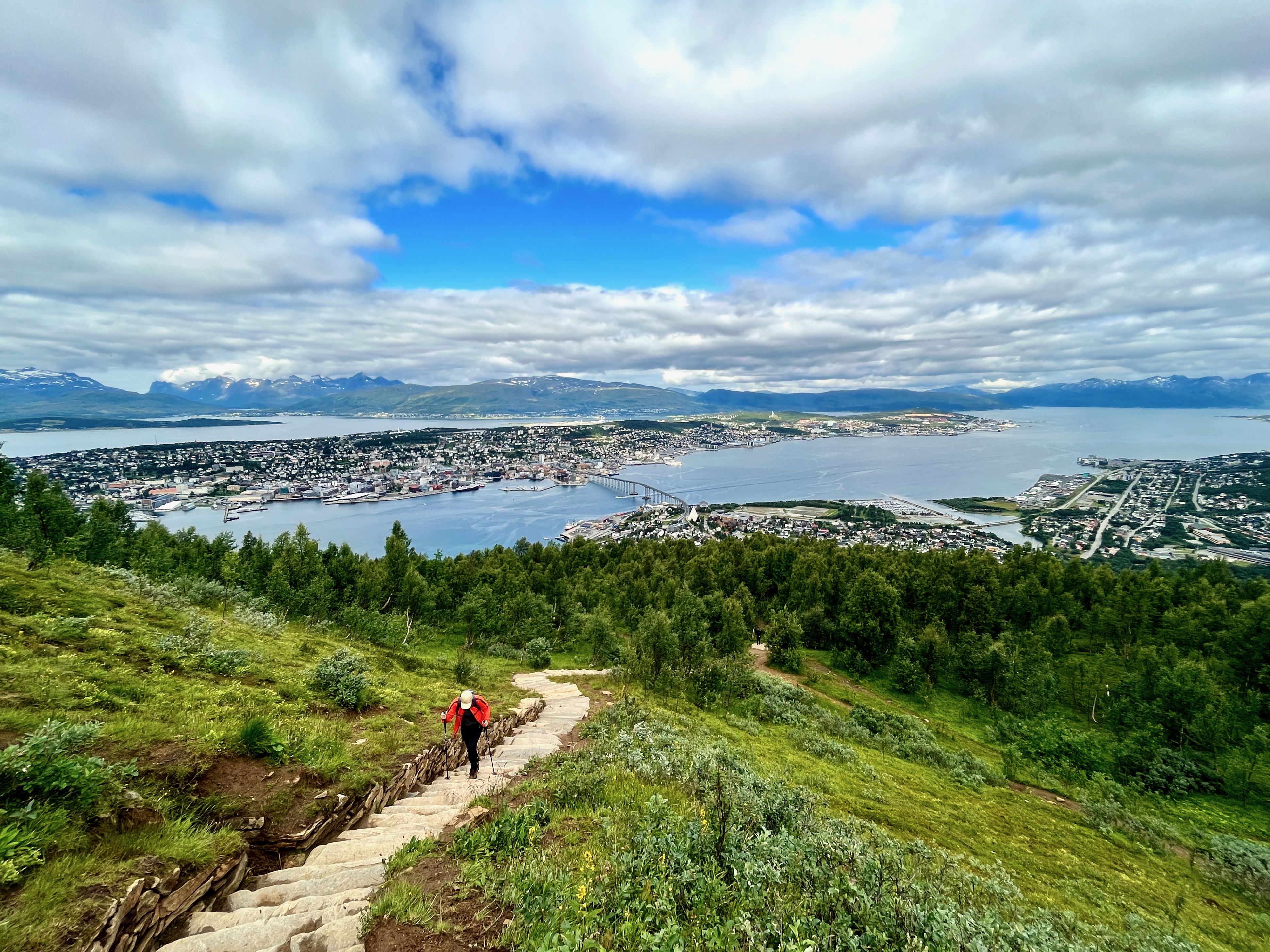
I climbed over 1200 stone steps built by Nepalese starting 2016. In Norwegian, they are called the Sherpatrappa.

Most people stop at the restaurant atop the cable car. There’s an excellent view from the deck and atop a nearby rock cliff.

But if you continue UP look for a climbing hut known as Steinbøhytta. You can sleep there for free.

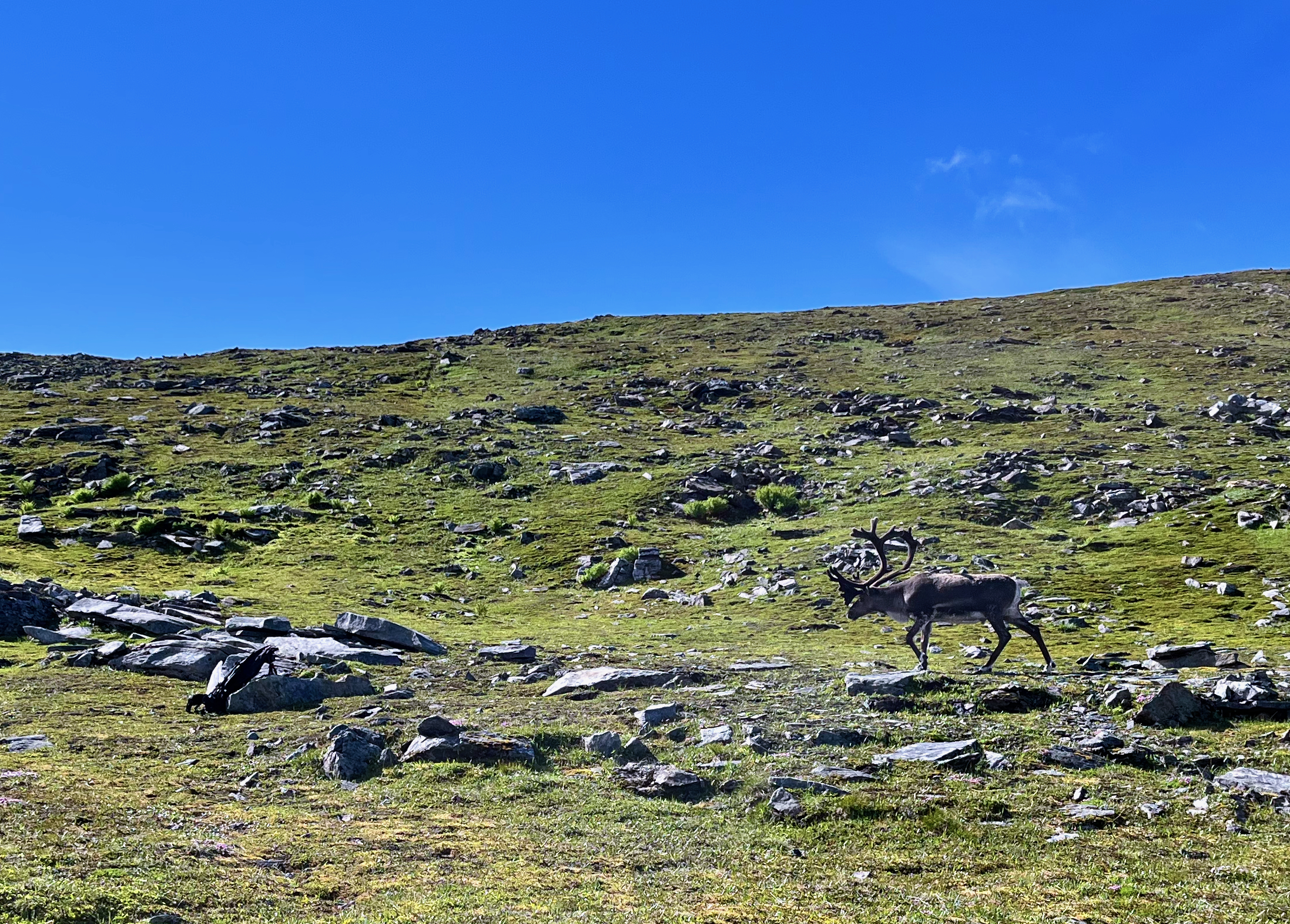
This day there were a number of reindeer grazing. They seemed unperturbed by hikers — but this big male reacted badly when encountering my backpack unexpectedly. Perhaps it looked something like a carnivore in the rocks.

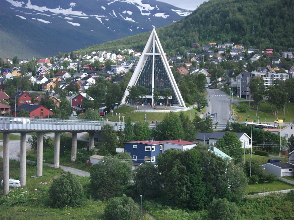
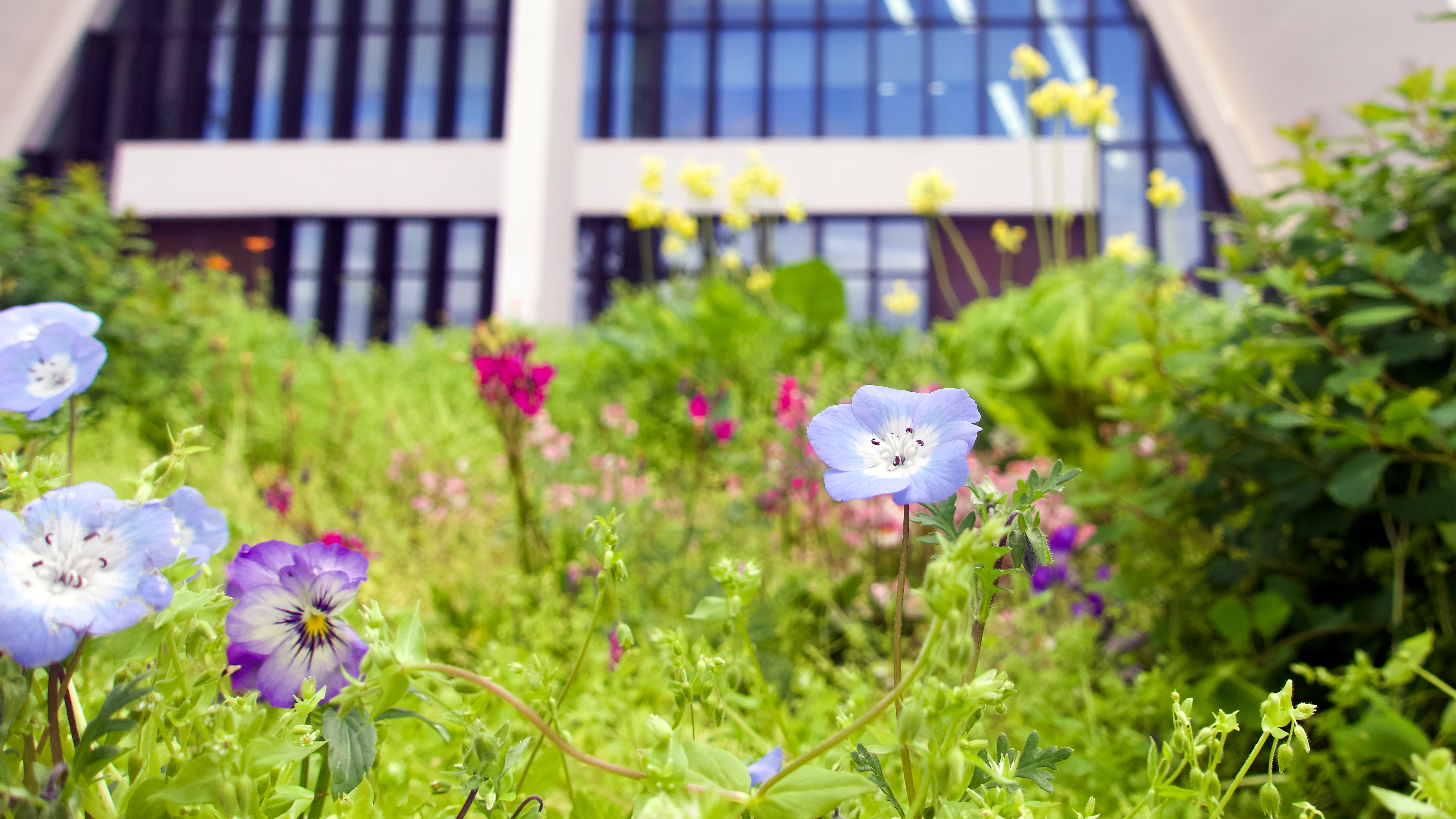
You can drive or take a bus to the start. But many simply walk across the bridge from town, visiting the Arctic Cathedral on the way.

By Oursinbenjamin

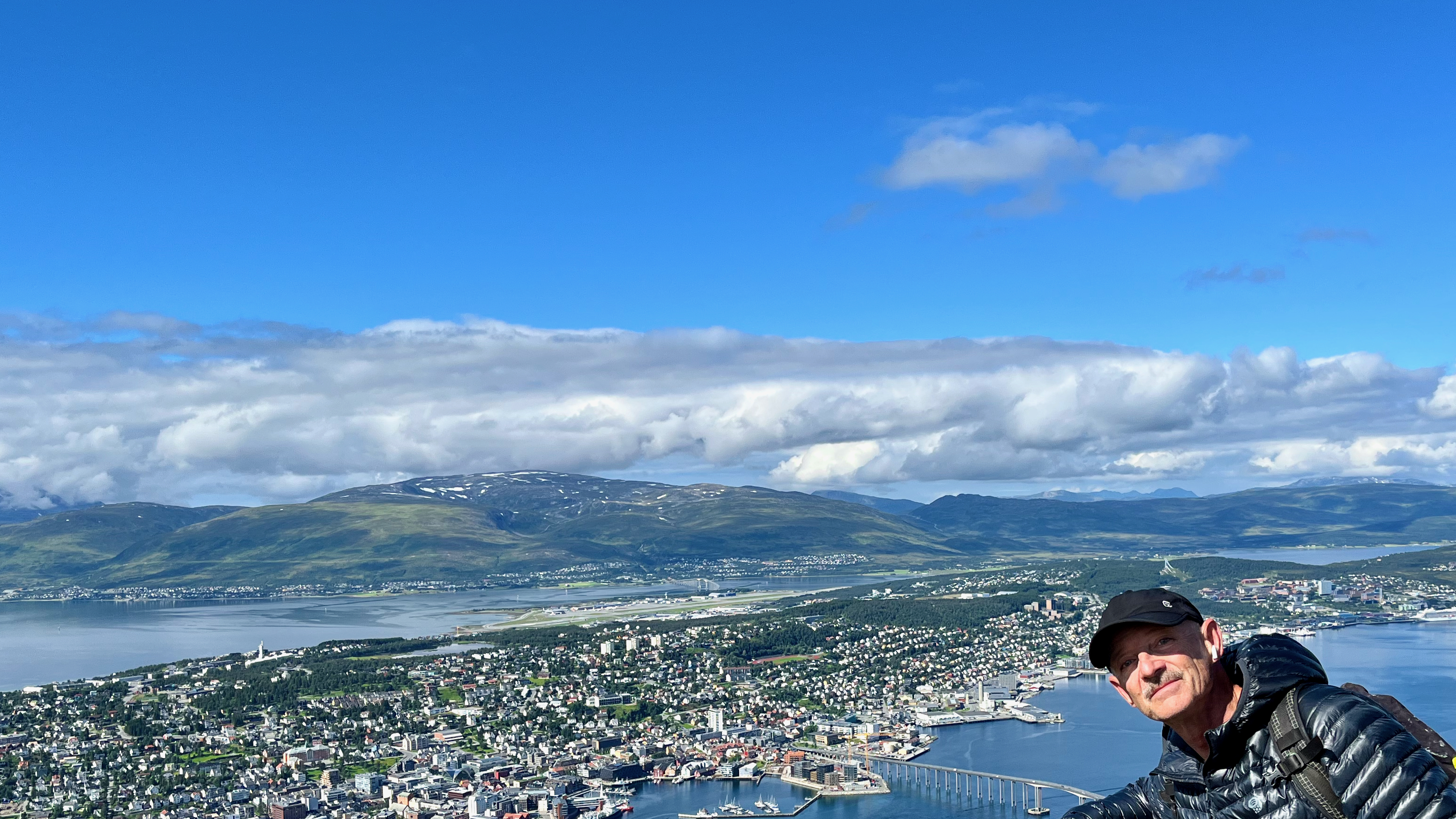
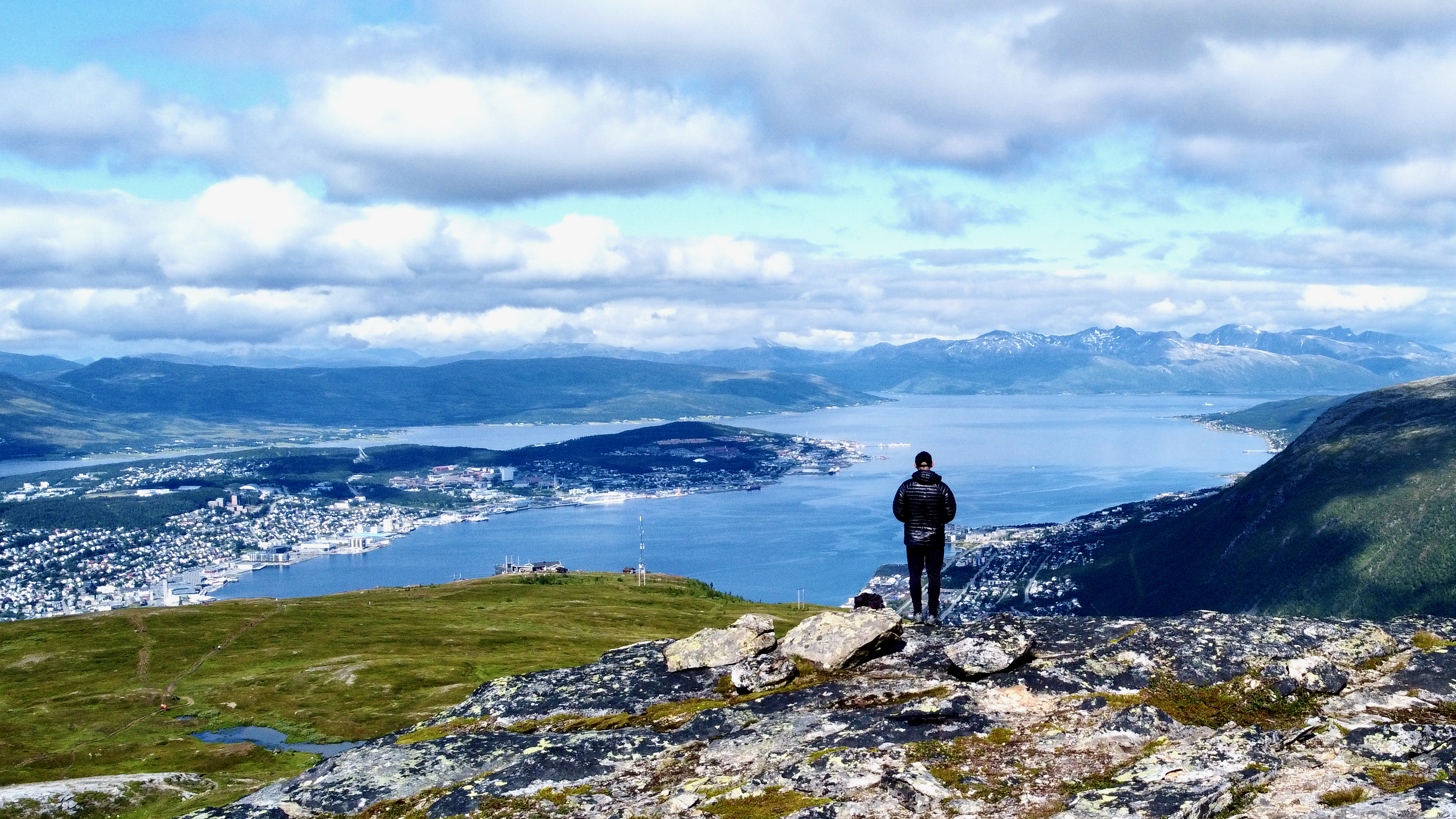
If you get to remote Tromsø, don’t miss this vista.

I took the Sherpa stairs back down. But there are alternative trails descending.

AllTrails recommends a loop they call Sherpatrappa and Dalbergstien.

related – 7 Easy Hikes With Spectacular Views In Tromso, Norway

#8 – Everest Base Camp / 3 Passes, Nepal

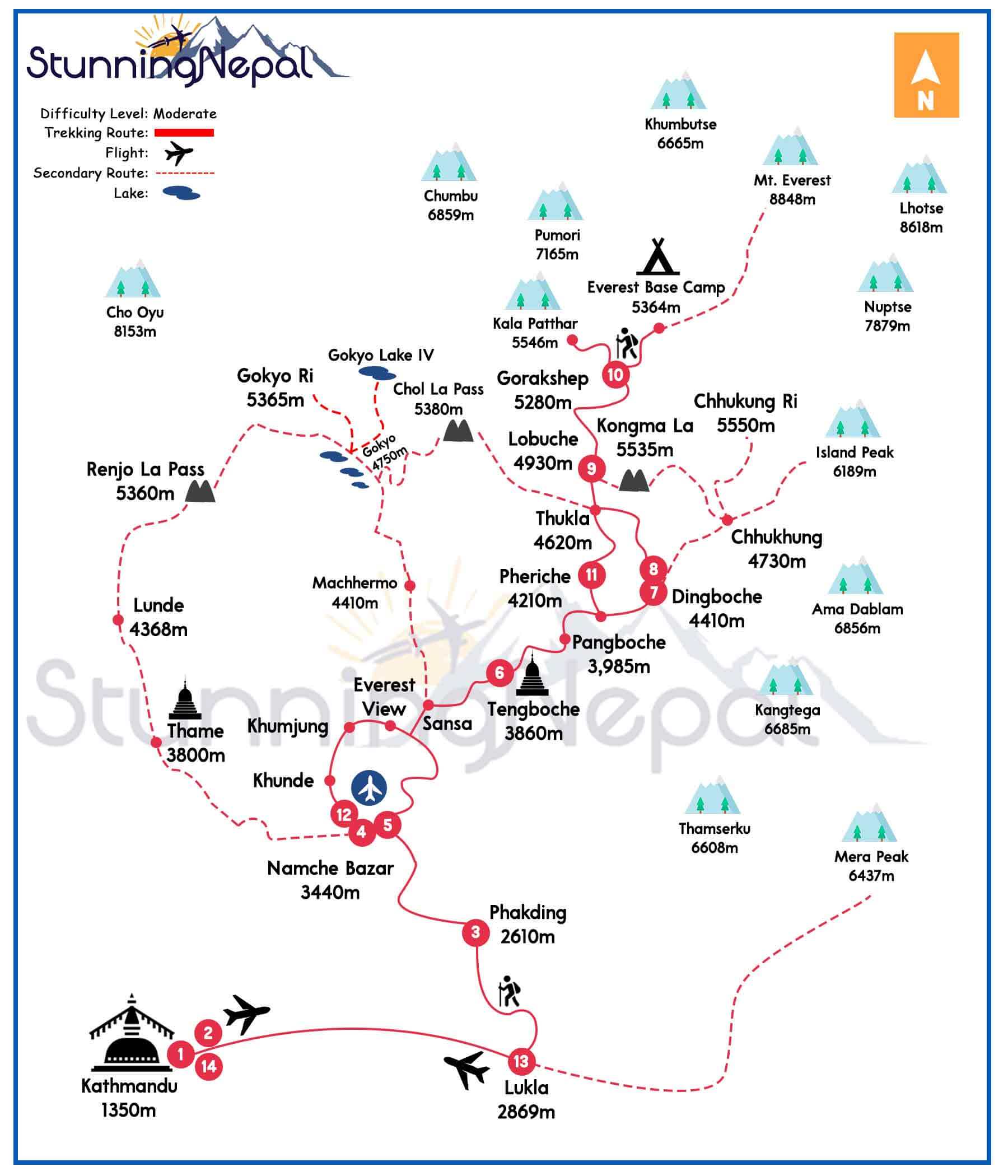
Everest Base Camp via 3 Passes is one of our top 10 hikes in the world.

Why?

Of dozens of fantastic treks in Nepal, the 3 Passes route is best of the best.

  • October to November best months
  • beginning of March to mid-May next best
  • 16-18 days minimum for 3 Passes. 21 days would allow for rest / illness / sidetrip / and other unanticipated delays.
  • if you don’t have time, it’s recommended 14 days just to get to Base Camp and back safely.
  • wonderful photographic opportunities
  • it’s fun to leave the main trails, take to the paths less traveled
  • very little gear is needed
  • you can easily get pack weight down to 10kg (22lbs)
  • walk with no tent, stove or food. Stay in lodges, eat in simple restaurants. Books are often available for rest days.
  • safe and easy to hike solo
  • no need to speak Nepali, only English
  • food is good and quite safe (compared with Kathmandu)
  • Everest is the goal. But our favourite peak is Ama Dablam, much more visible en route.

World → AsiaNepalEverest Base Camp

Ama Dablum

Click PLAY or watch a 1 minute preview on YouTube. 

For details click over to our EVEREST BASE CAMP / 3 PASSES information page.

Winter Hiking #FAIL

Sundance Canyon is a popular, easy day hike directly out of Banff townsite in the Canadian Rockies.

On a lovely Spring day in April I set off to enjoy the afternoon.

Some of the approach is along the lovely Bow River.

Everyone stops en route at the (now closed) Cave and Basin National Historic Site. And nearby boardwalk trails down to the river.

I popped into 3 Mile Cabin.

My #FAIL came when I reached Sundance Canyon itself. I’d forgotten to bring my Yaktrax® up to the mountains. They were essential this day. 😀

I was forced to quit.

Click PLAY or watch it on YouTube.

VIDEO – how to “hike” Aconcagua

You don’t HAVE to climb the highest mountain outside Asia.  Instead, you can HIKE to Base Camp without a guide.

Click PLAY or watch it on YouTube.

related:

  • My 2018 trip report.
  • Our information page is a starting point for those who might want to plan their own Aconcagua adventure in future. 

#4 – Ausangate Circuit, Peru

Ausangate (or Auzangate) is one of our top 10 hikes in the world.

Why?

Our favourite multi-day tramp in our favourite hiking region of the world — glorious New Zealand.  😎

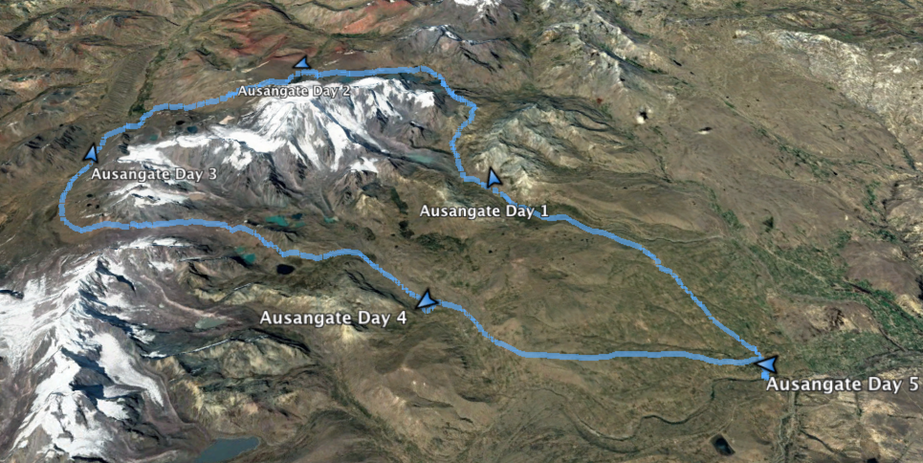
  • circle sacred Ausangate massif (6372m, 20,905ft), the highest peak in southern Peru
  • 4 high passes between 4757m – 5165m!
  • 70km (43.5mi) plus sidetrips
  • almost everyone does Ausangate with a guide, but it’s quite doable independently if you are acclimated 
  • many options to extend this trek
  • best months are the May-September dry season
  • Tinqui is 5-8 hours now only about 3.5hrs by bus on a new road, about 100km S.E. of Cusco
  • sidetrip to the “rainbow mountains” of Vinicunca

World → South AmericaCentral Andes → Peru → Ausangate

Click PLAY or watch a 1-minute introduction on YouTube.

For details click over to our Ausangate Circuit information page.

500 Days in the Wild

Dianne Whelan is making a film about her solo adventures on the non-motorized Great Trail (the Trans Canada Trail).

From pushing 150-pounds of bike and packs over rocks, to hiking through flooded bogs, paddling the largest lake in the world, snowshoeing through dense coniferous forests, skiing across wind-blown plains, the trail beckons.

Dianne travels the ‘Old Way’, the slow way of the turtle,seeking wisdom from those that live close to the land, asking the questions “what have we forgotten?”

“What do we need to know?”

500daysinthewild.com

Click PLAY or watch a teaser on YouTube.

related – Is it called the Trans Canada Trail … OR Great Trail?