Travel video by Sam Newton.
My kind of destinations. 😀
Having just returned from Utah, summer 2023 could get me to Norway, Faroe Islands, and Iceland.
Click PLAY or watch it on YouTube.


Best hikes, treks, tramps in the world.
Travel video by Sam Newton.
My kind of destinations. 😀
Having just returned from Utah, summer 2023 could get me to Norway, Faroe Islands, and Iceland.
Click PLAY or watch it on YouTube.
Johnston Canyon is a MUST SEE attraction for visitors to Banff National Park in the Canadian Rockies.
On a summer day it is packed. Narrow trails with far too many people.
Recommended is to do the hike very early or late in the day. Avoid the crowds.
OR do Johnston Canyon in the winter with some kind of ice traction or micro spikes for your shoes. The access road is closed each winter, further reducing the traffic.
Click PLAY or watch it on YouTube.
I took the bus from Banff ($10 return) end of April 2023. Too late, in my opinion.
I still needed my YakTrax. But it was far too crowded.
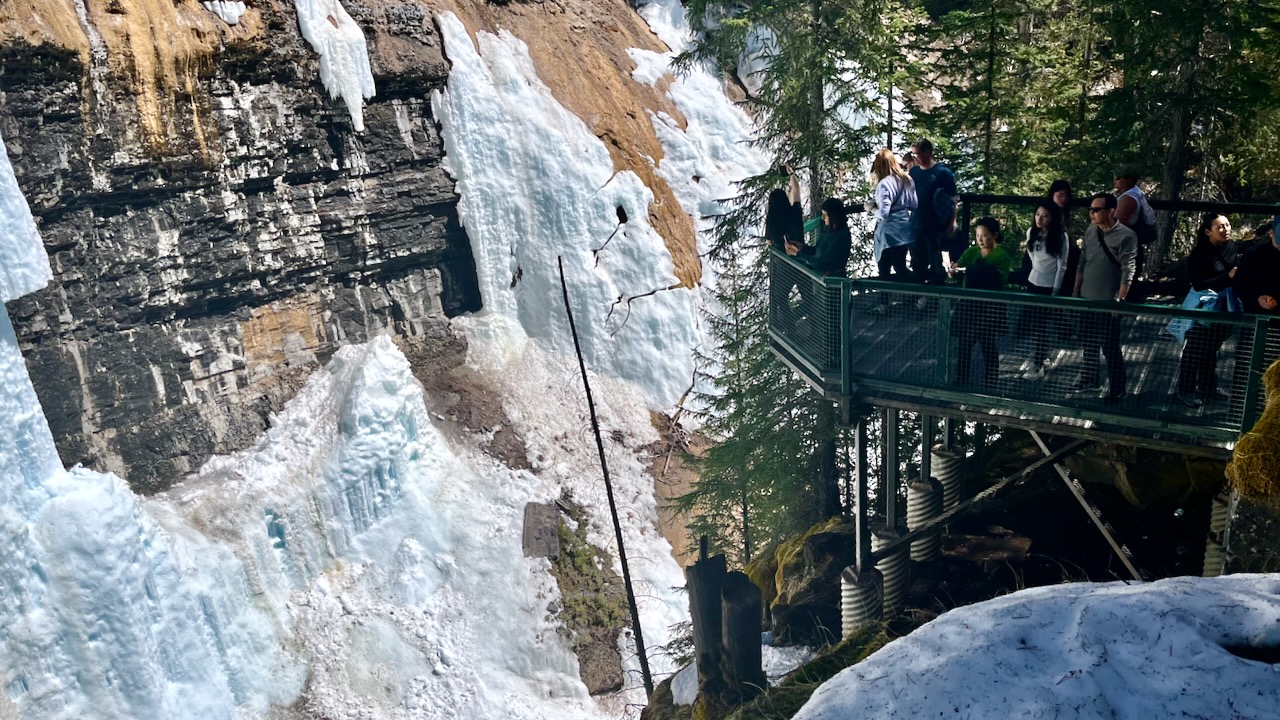
The highlight for me were the catwalks between narrow canyon walls.

Seeing the frozen waterfalls up close is cool — but they were looking quite dirty end of April. These will be gone in a week or two.
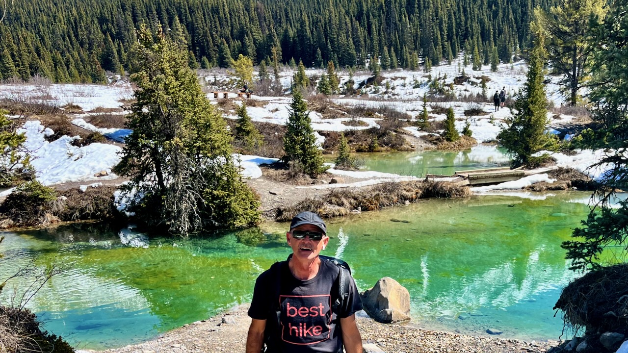
A minority of hikers carry on up to the “Ink Pots“, mineral springs that differ in colour because each pool fills at a different rate.
Distance: 5.7 km (3.5 miles) one way
Elevation gain: 330 m or 1,083 feet
Time needed: 2.5 – 4 hours to do the return hike
Difficulty: Easy
Read more on Hike Bike Travel – Ink Pots hike via Johnston Canyon
Matt and Anderson put together another entertaining VIDEO with some epic glissading on the way down. … Would they cliff out? 😀
20km round trip – Strathcona Park on Vancouver Island. 1800m elevation gain.
It’s tough. I tried and failed myself. There was too much snow June 15th of that year.
Click PLAY or watch it on YouTube.
I was born and raised in Calgary, Alberta, Canada. Gateway to the Canadian Rockies.
Over the years I’ve spent a lot of time on and around the Bow River and the Elbow River which joins the Bow in Calgary.
The Bow flows through Banff all the way to Hudson’s Bay.
The other day it seemed Spring had finally sprung — so I grabbed the drone and headed off trail to walk the river.
Click PLAY or watch it on YouTube.
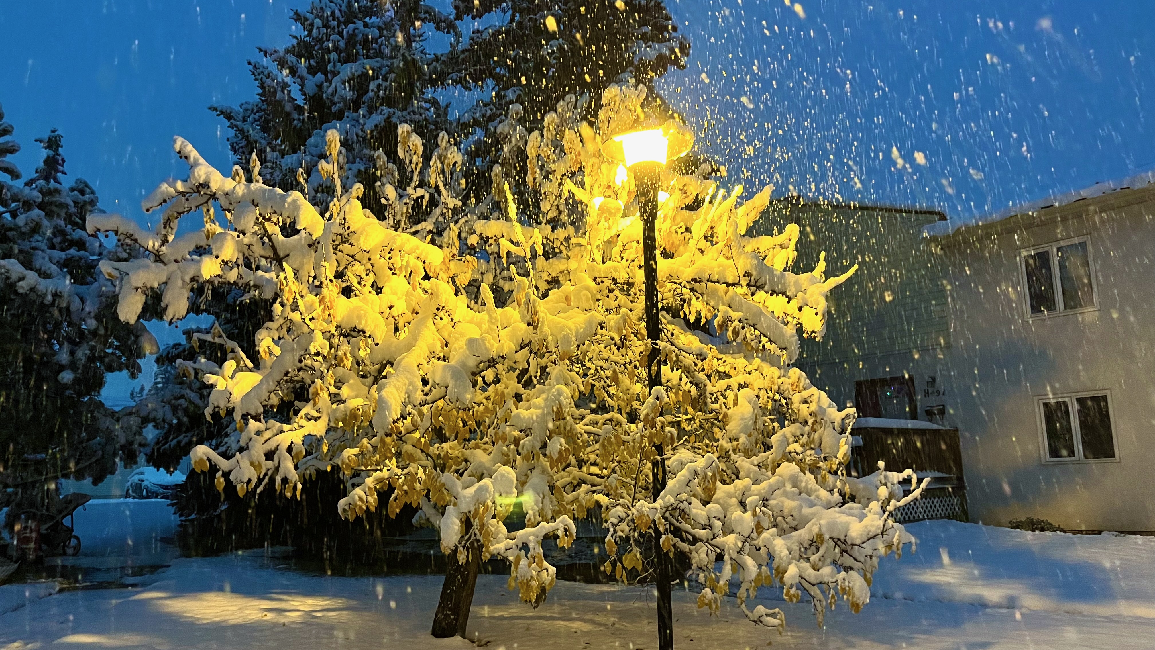
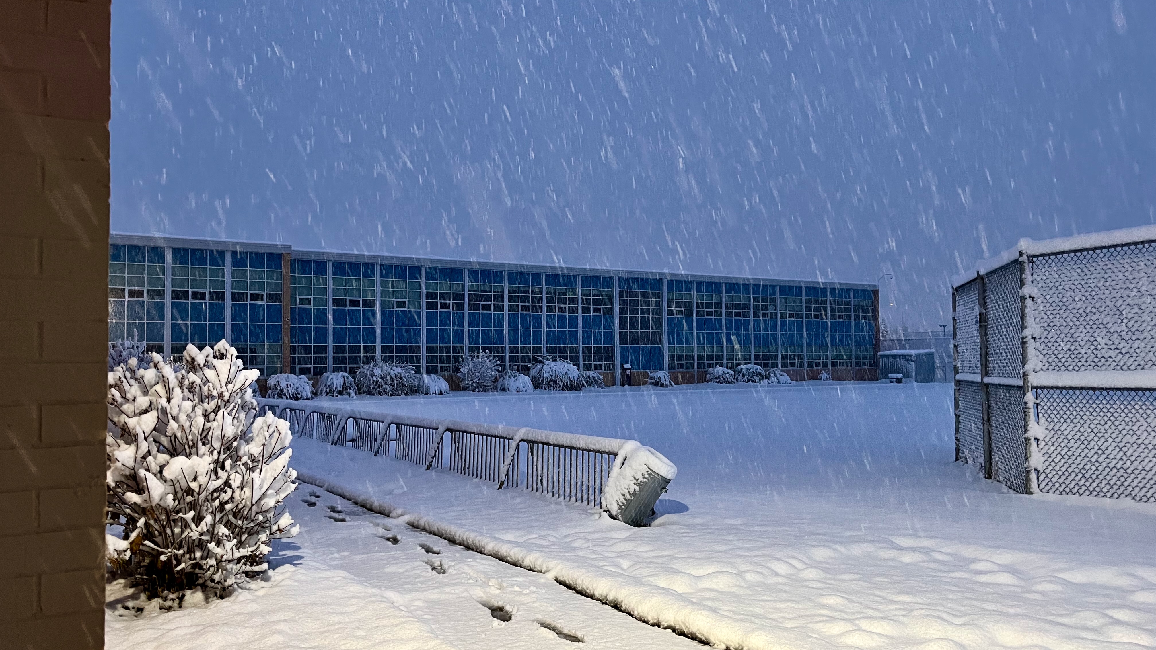
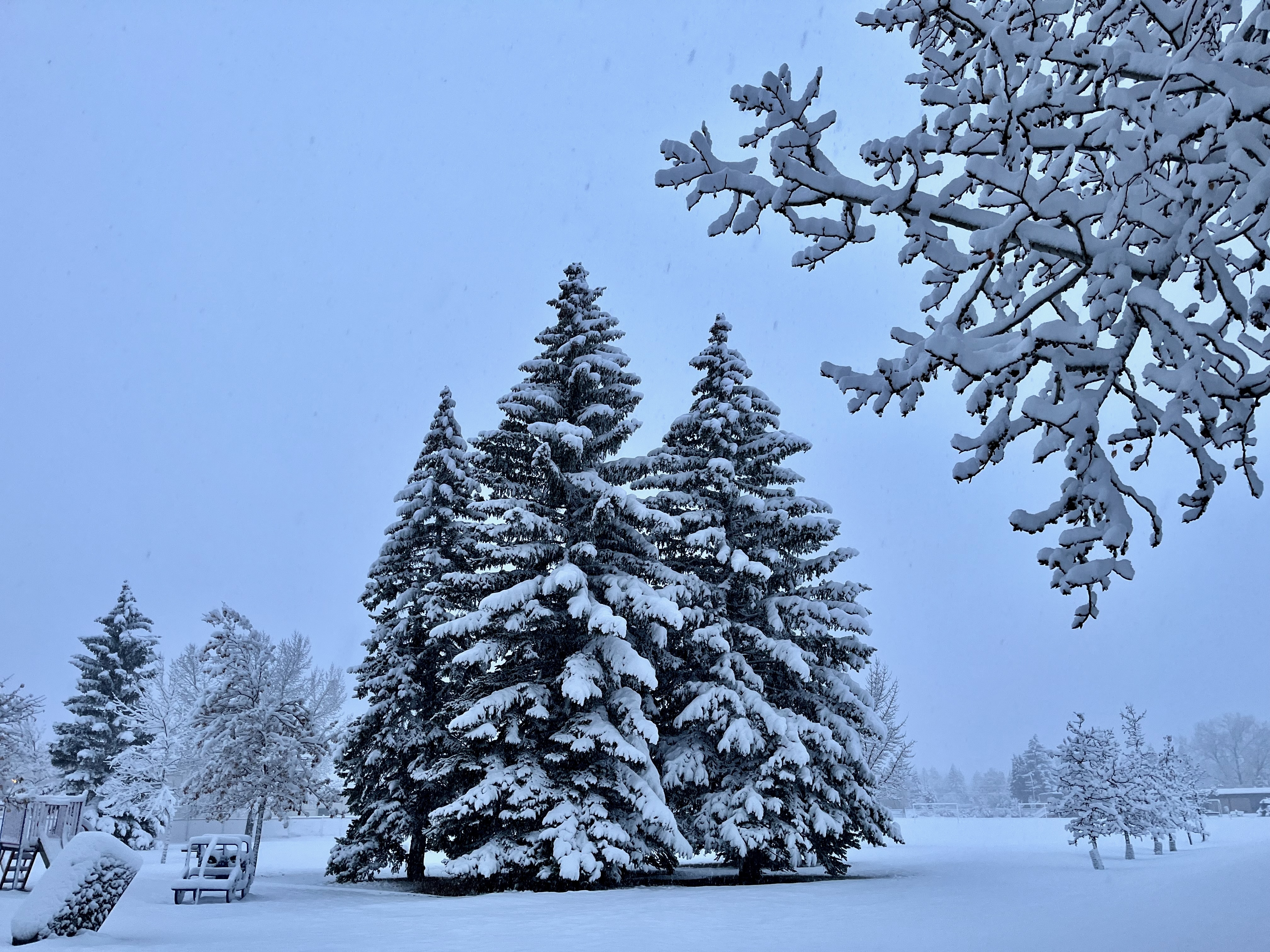
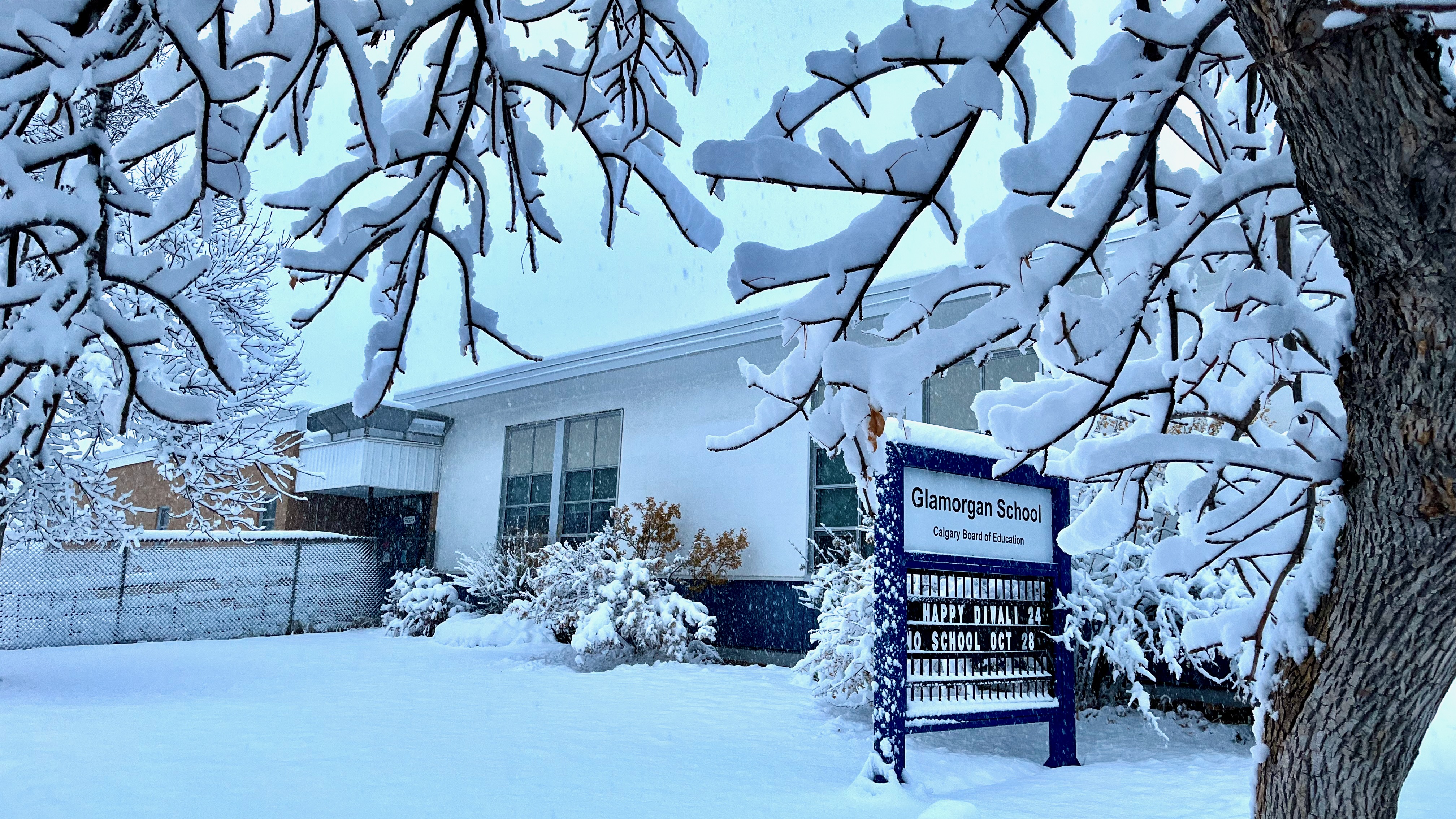
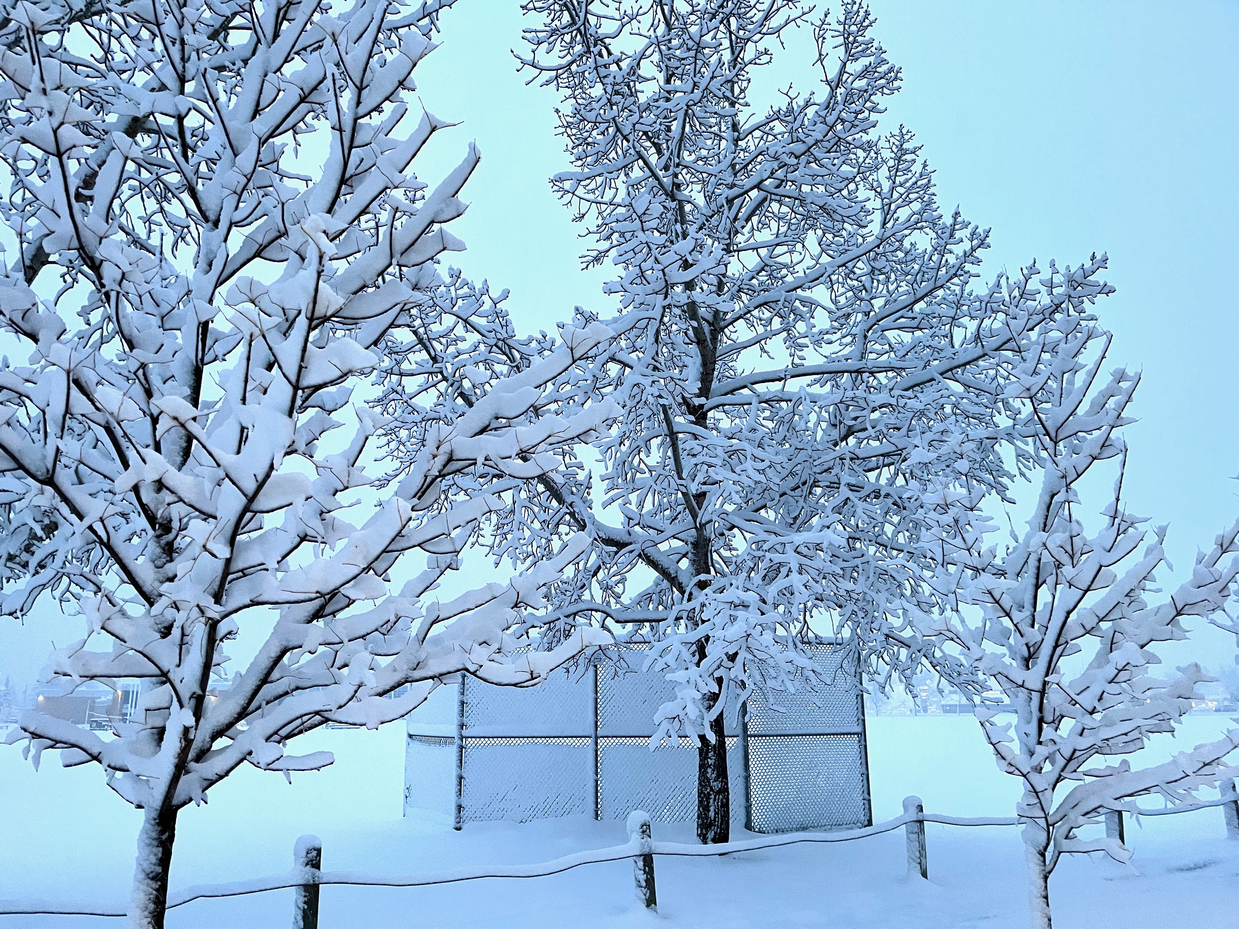
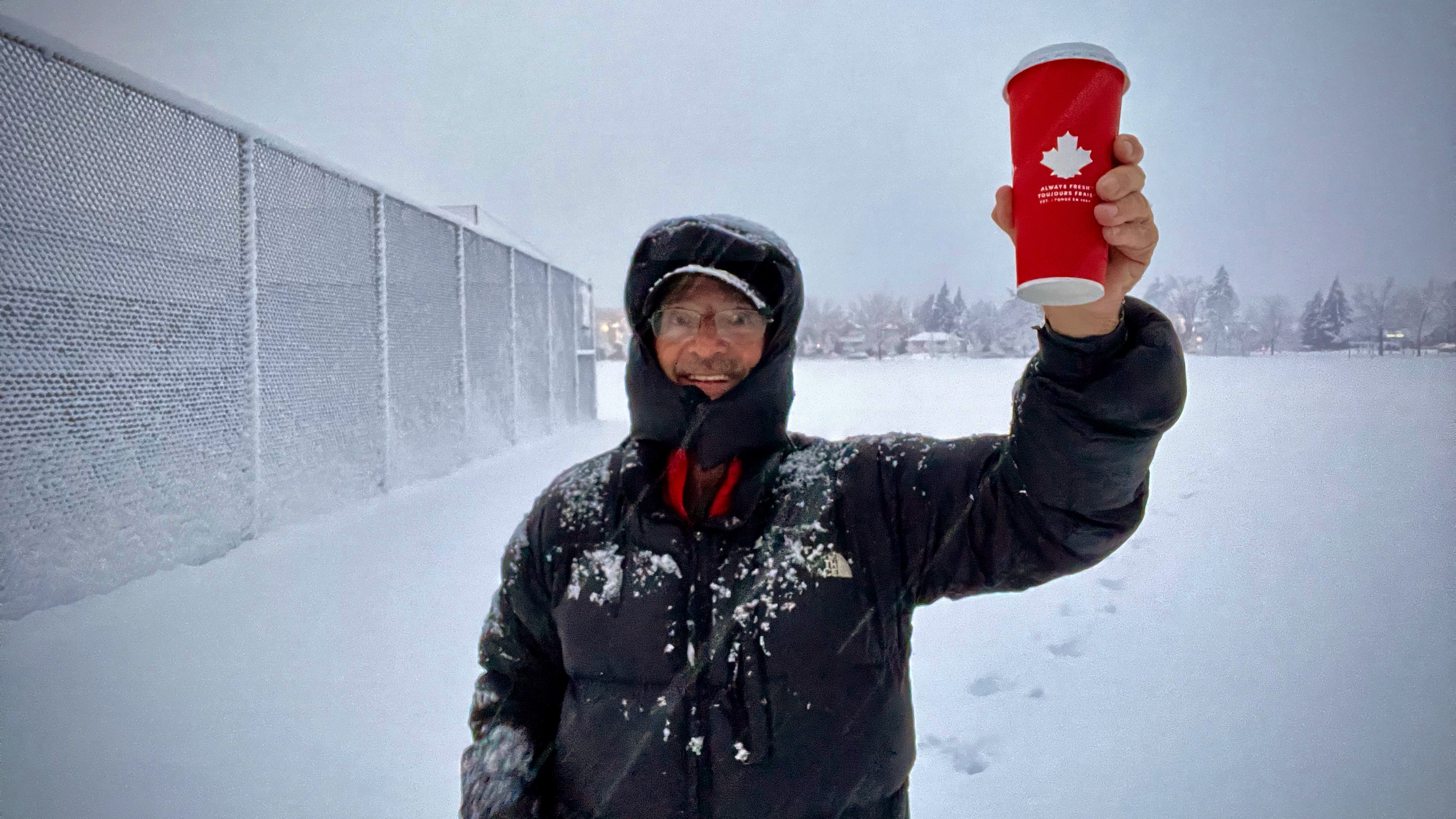
I woke up surprised to see a winter wonderland outside my window.
October 22nd, Calgary, Canada.
I put on my winter jacket and headed out quickly to enjoy the clean, white fresh stuff — watching for Bobcat tracks. My neighbourhood is the only place I’ve ever seen Bobcat.
The gateway to the wonderful Lofoten archipelago is the town of Bodø, the end of the train line north.
It’s usually cheaper and easier to fly as the train is a 17 hour overnight journey from Oslo. The town is so compact that you can easily walk from the airport to the train station.
On my two trips to the awesome Lofoten hikes, I’ve spent quite a few days in Bodø — supposedly in transit.
It’s worth wandering the streets of Bodø.
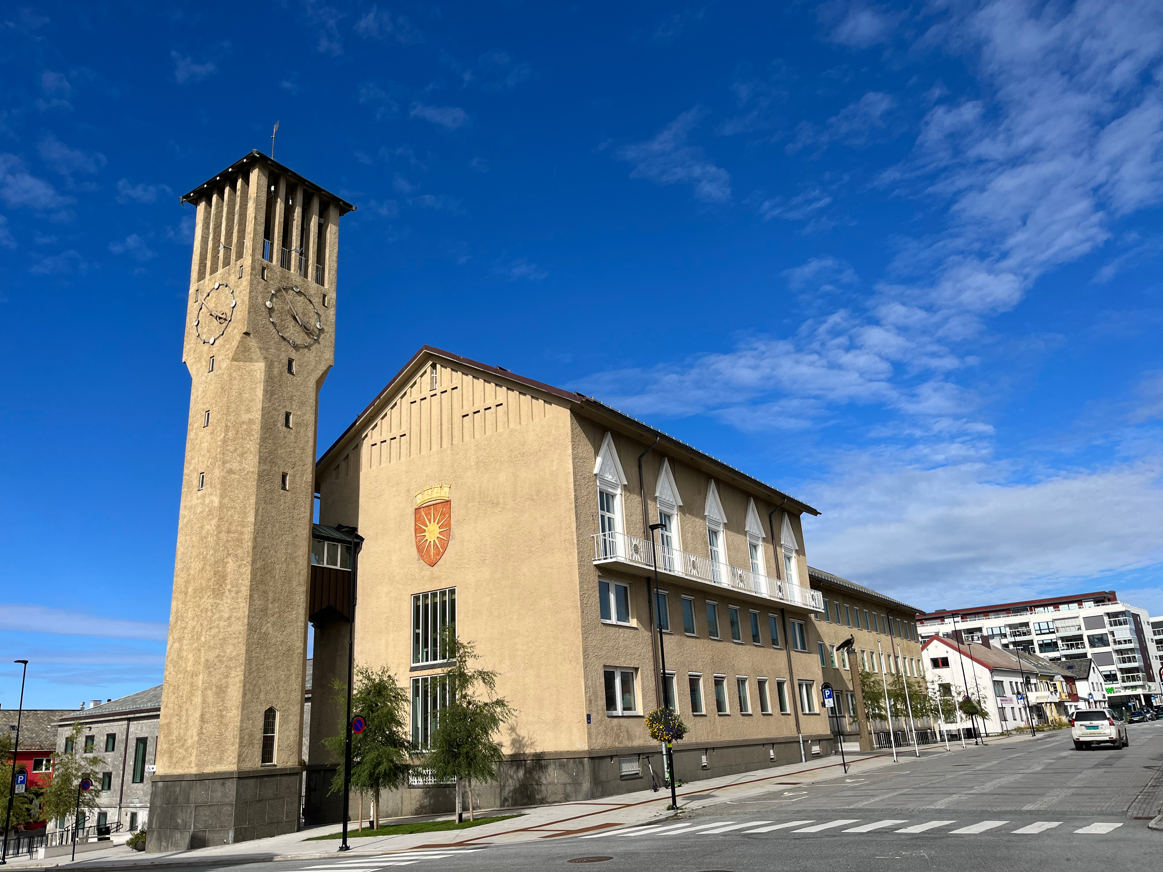
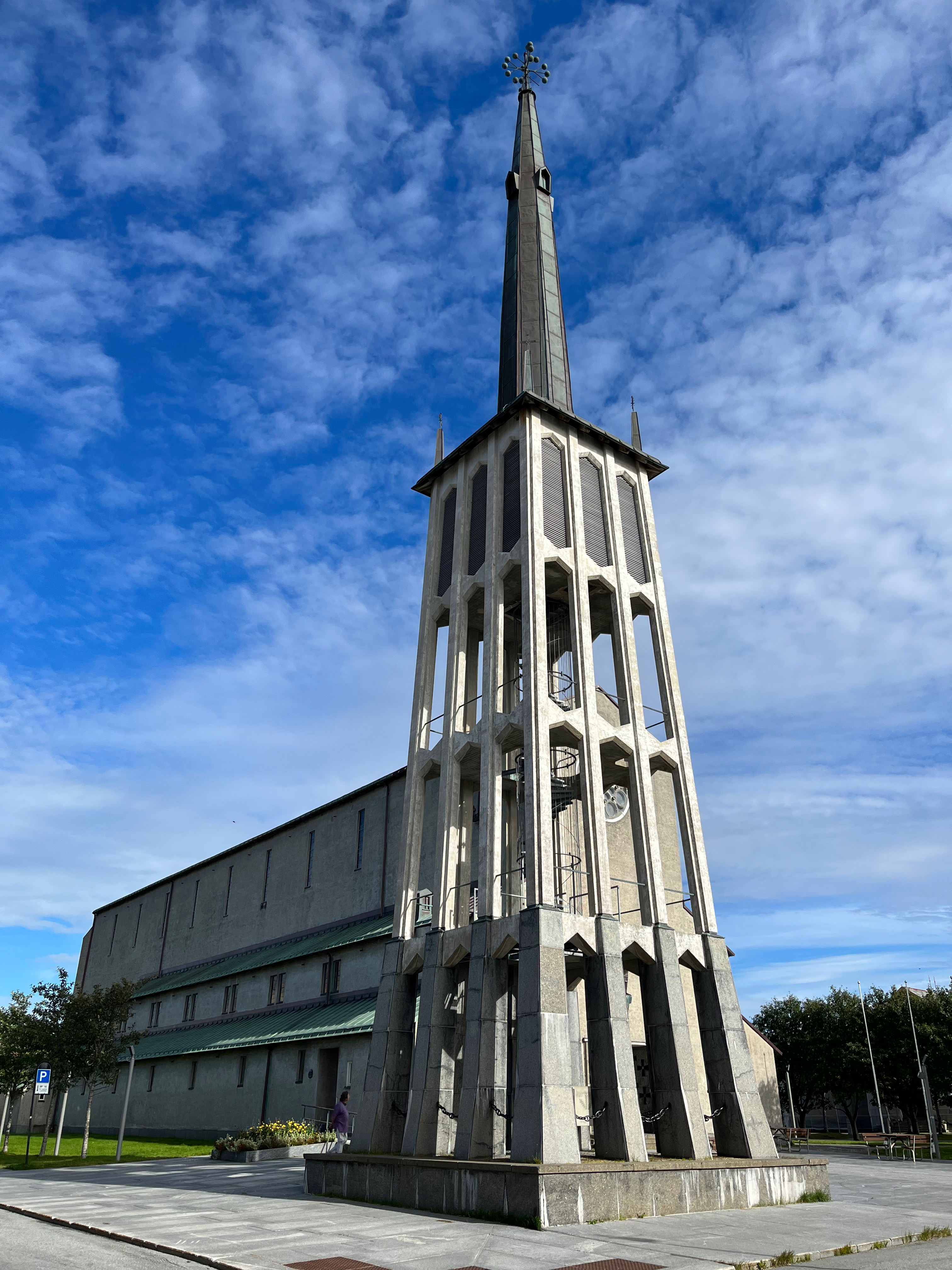
ALSO — there is some hiking available walking from the centre of town.
I went first to Bestefarvarden. An interesting scramble among rocky cliffs overlooking the sea.
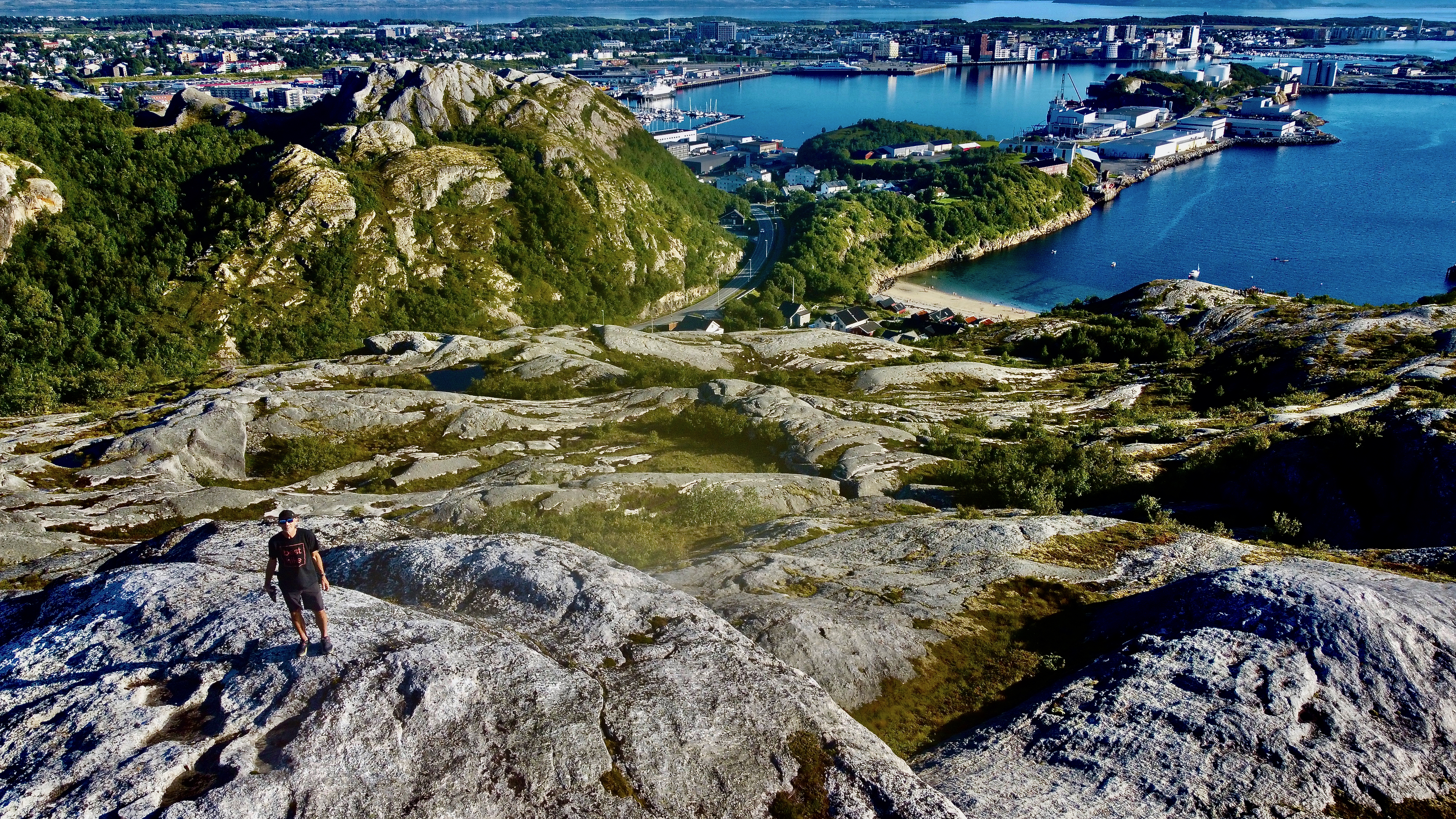
The “hike” starts close to this beach, well above the Arctic Circle.
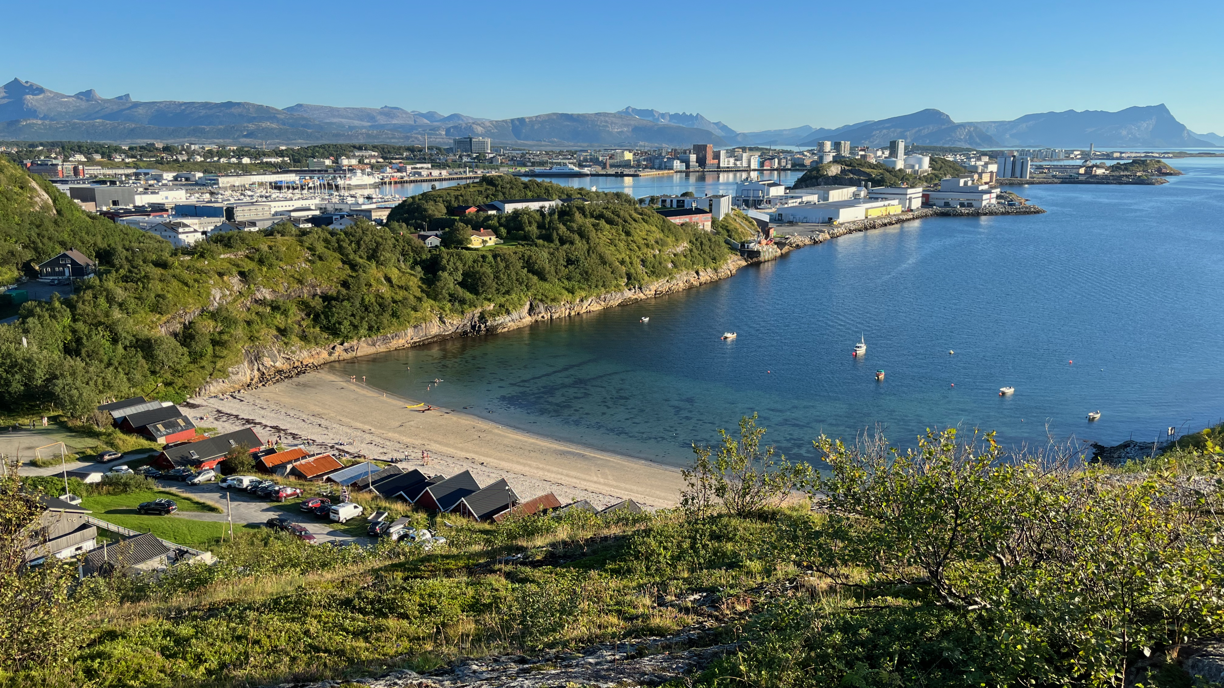
I left a Summit Stone there.
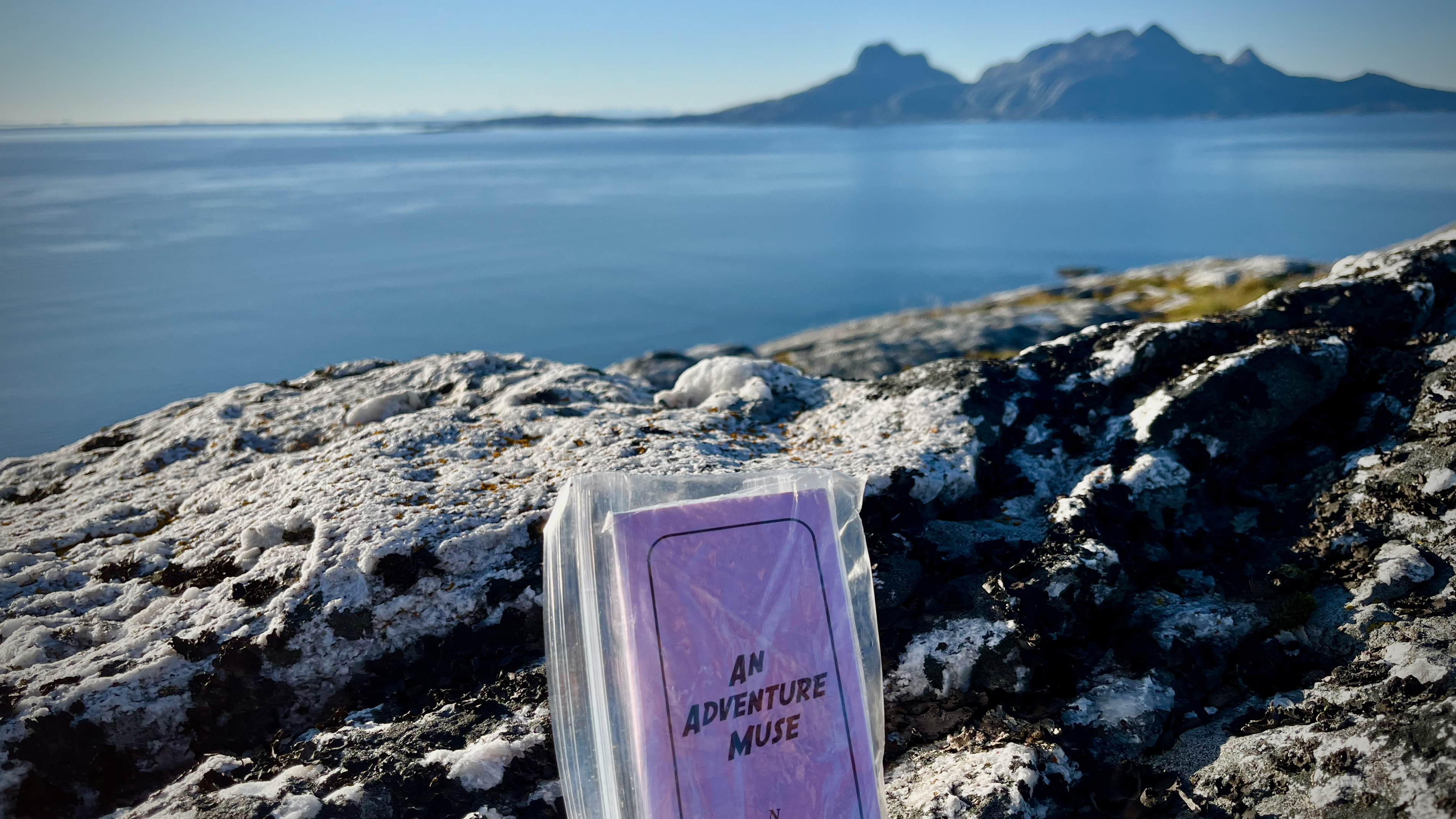
Click PLAY or get a glimpse on YouTube.
From there, I walked through an industrial zone to reach the city fortress (redoubt). Small, but interesting. With good views over to Bodø centre.
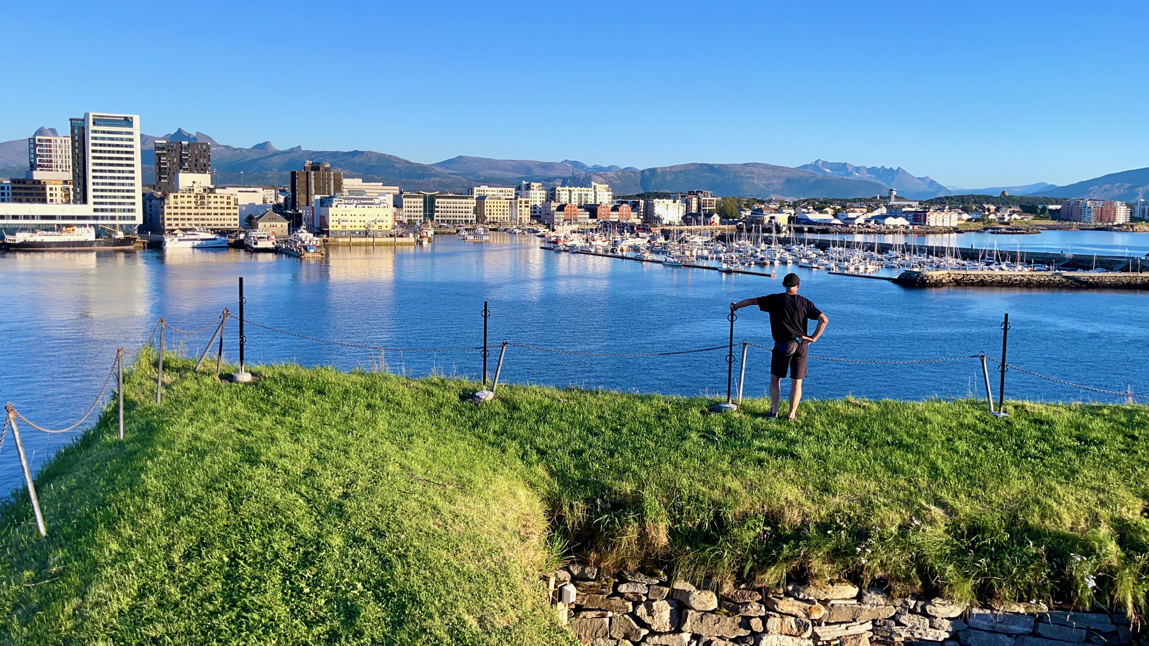
In addition, many tourists visit Saltstraumen, a small strait with one of the strongest tidal currents in the world.
There’s more to Bodø than only a transit point.
BestHike editor Rick McCharles
Though I had to cancel my planned 3000km bikepacking adventure after SAS (Scandinavian Airlines) left my bike box at Heathrow for over a month 🤨, I still enjoyed my 4-5 weeks above the Arctic Circle.
Check my short HIGHLIGHTS VIDEO.
Click PLAY or watch it on YouTube.
The Tenacious Trekkers flew up to Longyearbyen and took a guided glacier hike.
Click PLAY or watch it on YouTube.
Svalbard is a Norwegian archipelago in the Arctic Ocean. North of mainland Europe, it is about midway between the northern coast of Norway and the North Pole. …
The largest island is Spitsbergen …
The largest settlement is Longyearbyen. …
Approximately 60% of the archipelago is covered with glaciers …
The three main industries on Svalbard are coal mining, tourism, and research. …
Tourism is focused on the environment and is centered on Longyearbyen. Activities include hiking, kayaking, walks through glacier caves, and snowmobile and dog-sled safari. Cruise ships generate a significant portion of the traffic …
Population of Svalbard is around 3000.
I’d love to get up there one day.
Svalbard is a Norwegian archipelago in the Arctic Ocean. North of mainland Europe, it is about midway between the northern coast of Norway and the North Pole. …
The largest island is Spitsbergen …
The largest settlement is Longyearbyen. …
Click PLAY or get a glimpse on YouTube.

BestHike editor Rick McCharles
Inspired by Cam Honan’s 2018 adventure, I set out for the Long Crossing – a 160 km (99 mi) hiking route through the spectacular heart of the island chain.
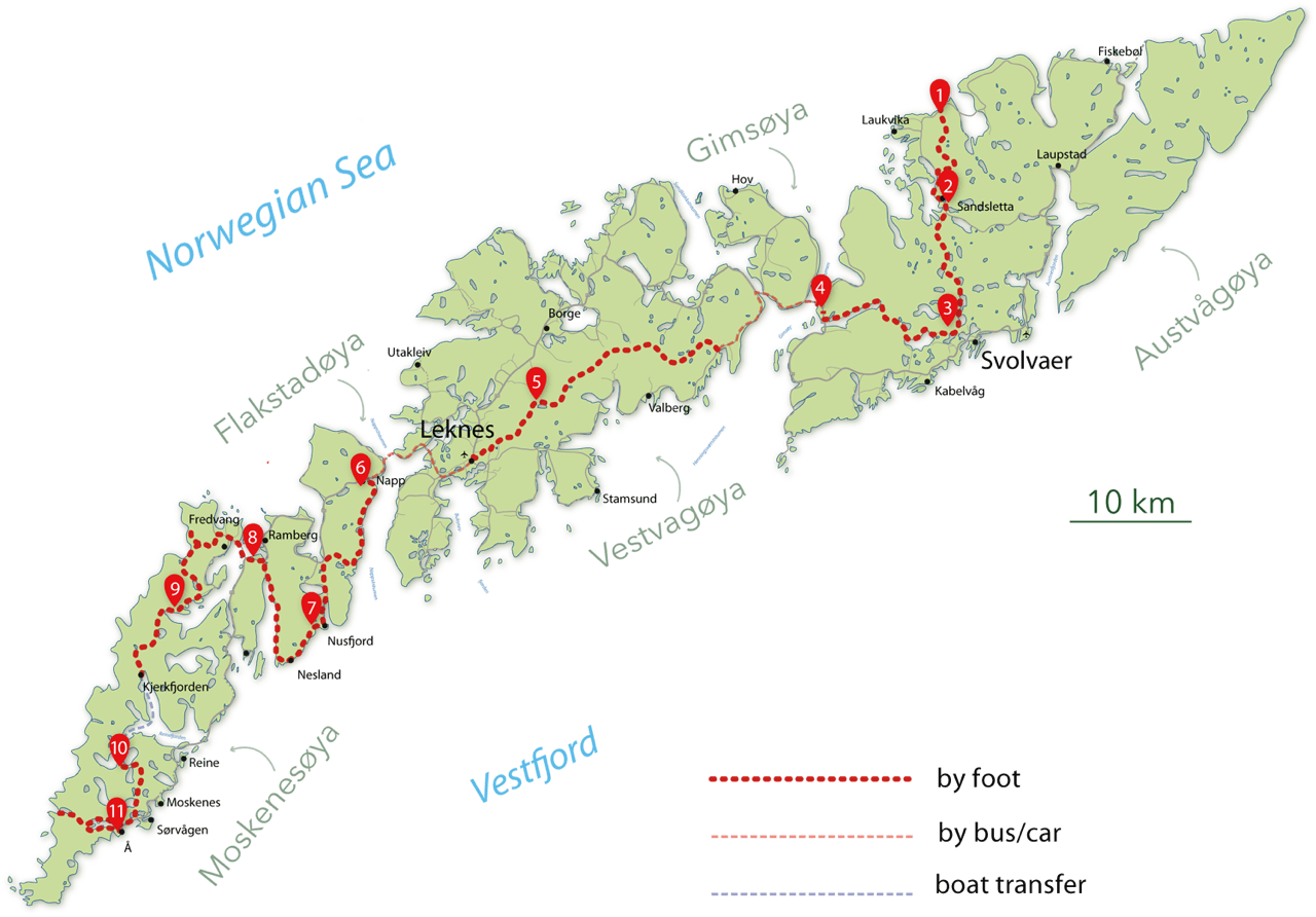
It’s not all that popular yet. In fact, AllTrails doesn’t have it. And it has every trail everywhere.
After one day — 9 hours in perfect weather — I’ve decided to QUIT. That day was too difficult and too dangerous for me carrying a heavy pack.
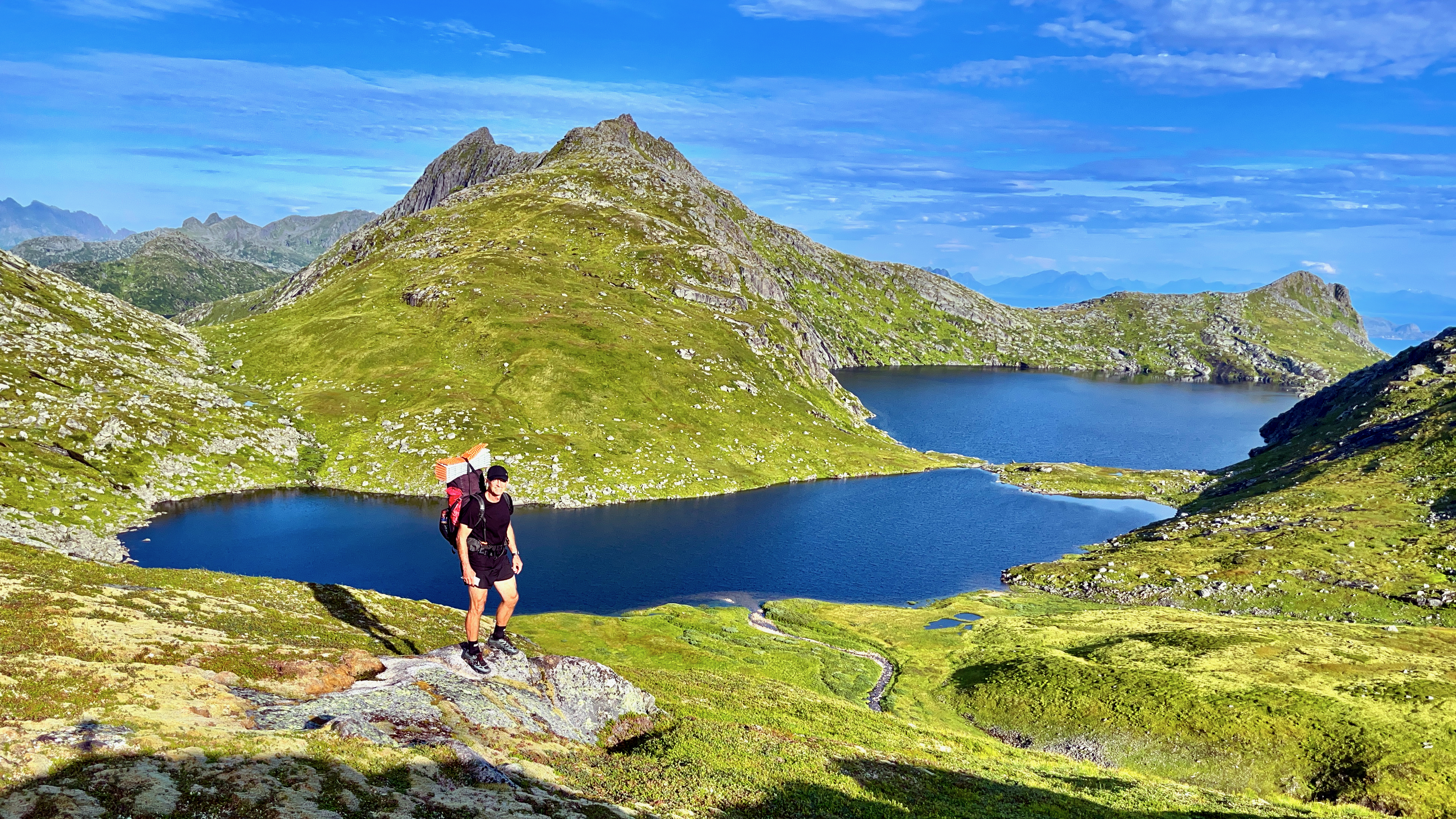
It LOOKS easy in the photo. But it’s mostly route finding through marshy terrain. Worst was a risky descent clutching a water pipe and safety ropes. Starting up near the top of the waterfall.
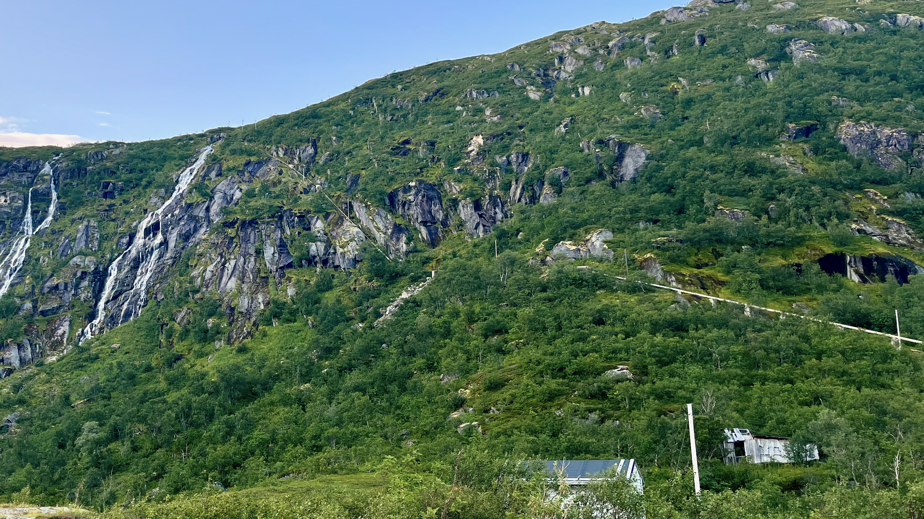
This was the Kleppstad to Svolvær leg.
I’d already visited Lofoten on another trip, doing most of the popular day hikes.
I’ll follow the general path of the Long Crossing. But camp low. And climb high with a day pack. Weather will dictate which established day hikes I choose.
I’ll be following recommendations set out in the Rando-Lofoten guidebook by Souyris & Brede:
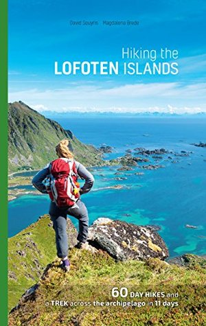
Wish me luck. Things tend to #fail in Arctic Norway — usually due to weather.

