Shortly after packing up the tent Sept. 16th, the rain began. 💧
I put away the camera and took not one photo nor video for the entire day.
It was head down. One foot after the other for about 34 tough kms.
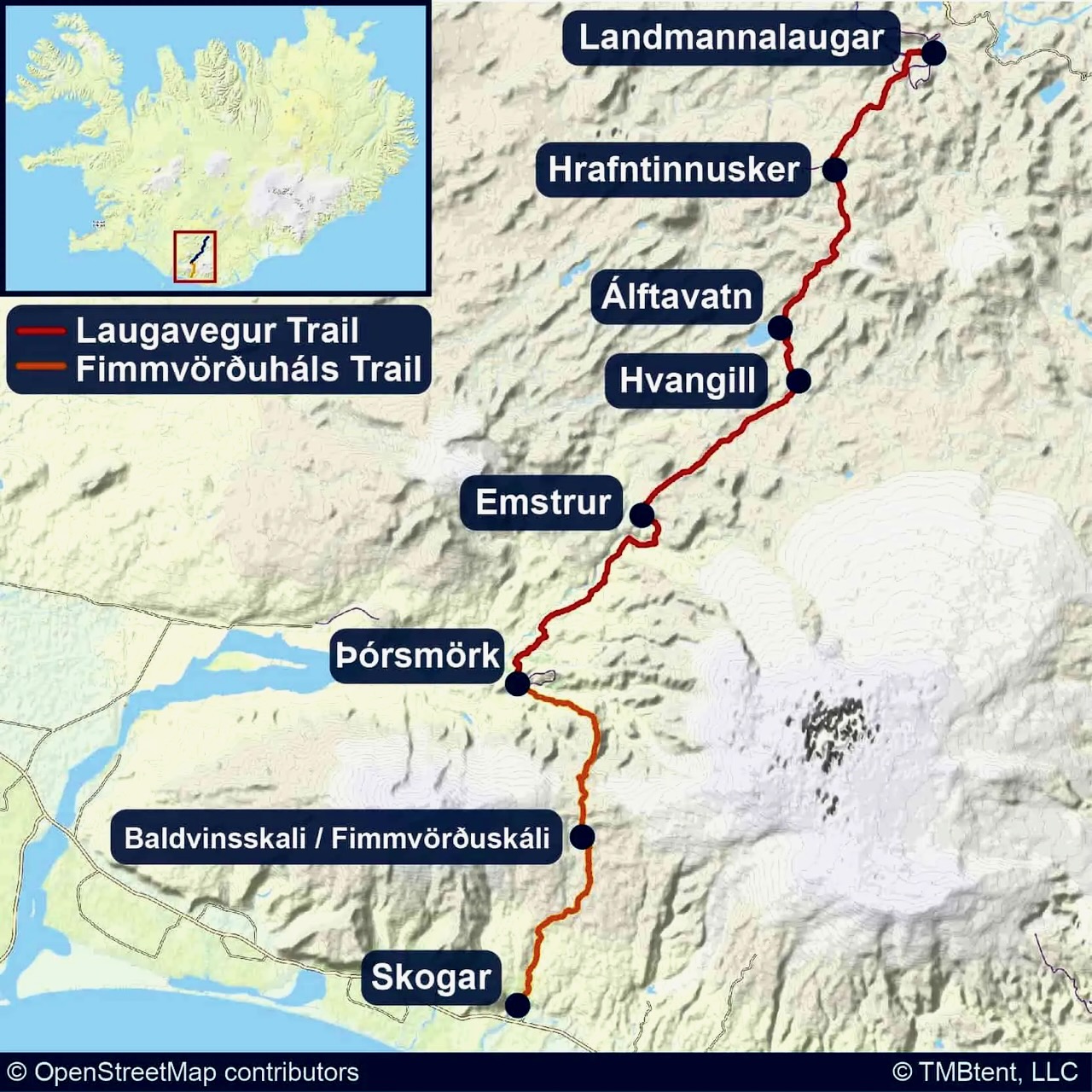
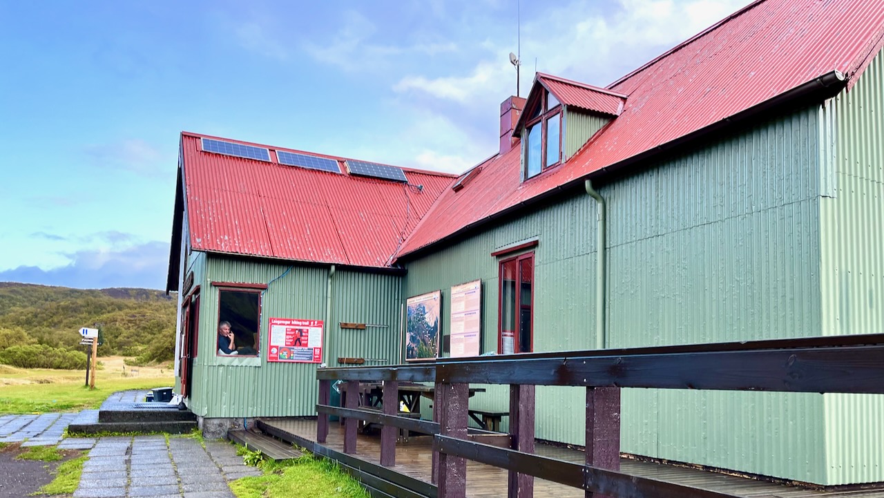
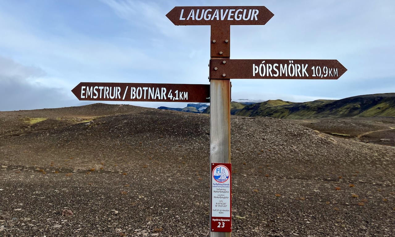
I was only able to get shelter from constant rain and high winds for late lunch at Emstrur / Botnar. It was still open as the American guided group was there that night — and provided a cook tent.
Hiking Laugevagur leaves you almost entirely unprotected from the elements. There is no place to hide.
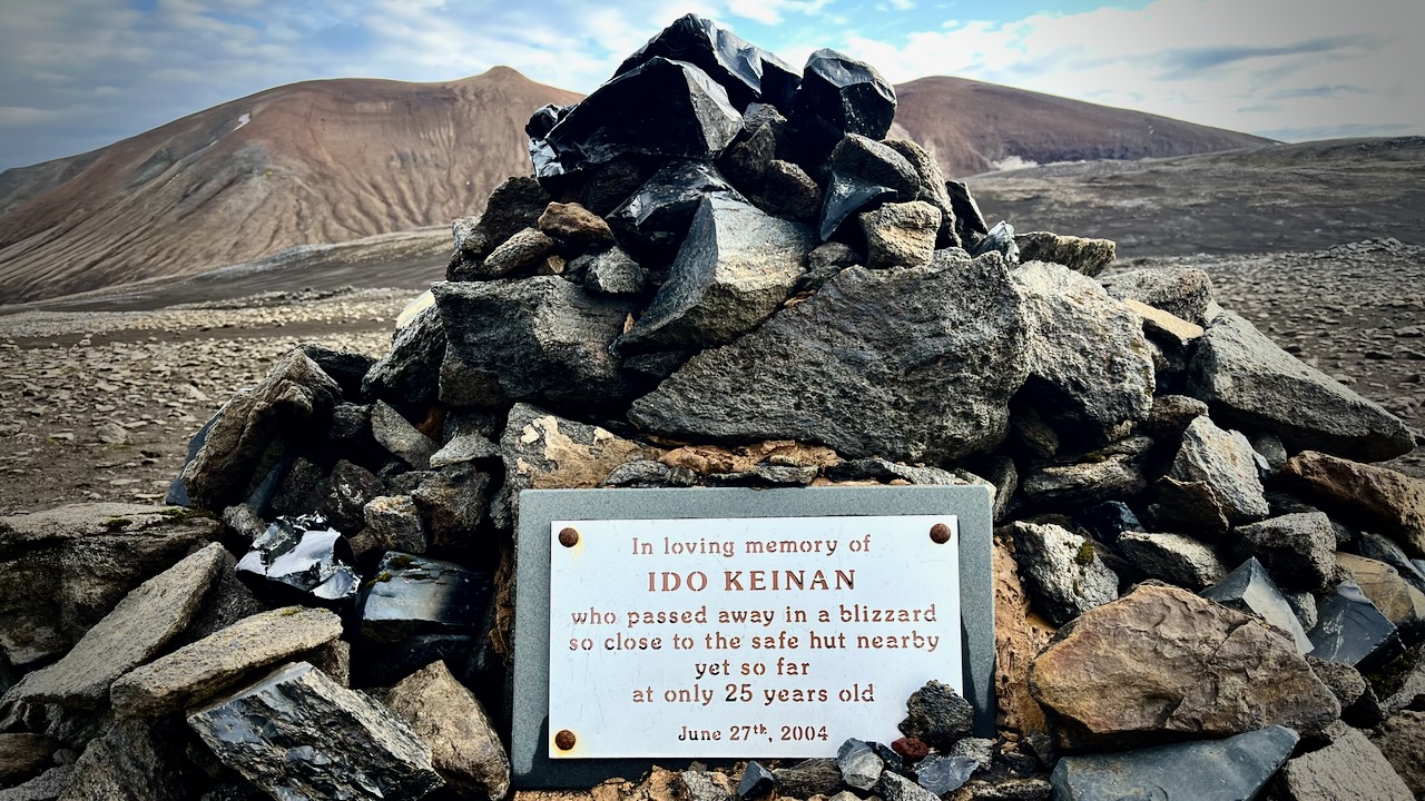
I’d seen the monument to Ido Keinan who died, lost 1 kilometre away from the hut in Hrafntinnusker. Exposure during a late June storm.
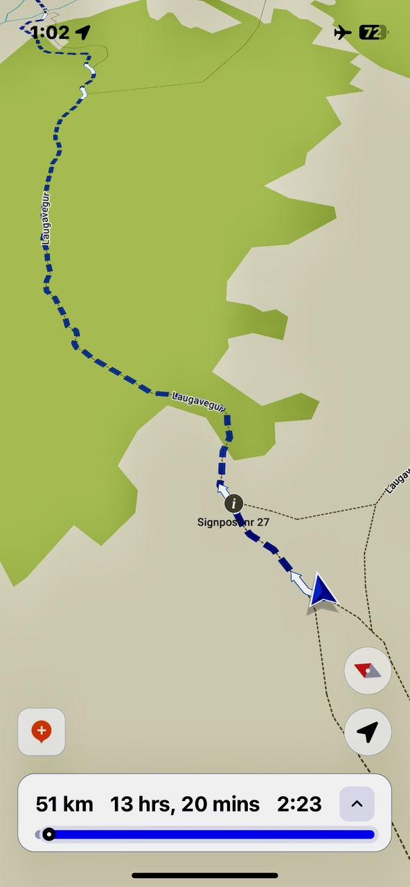
I used the free Maps.me app offline to confirm I was on the trail. This works in the dark or the middle of dense cloud.
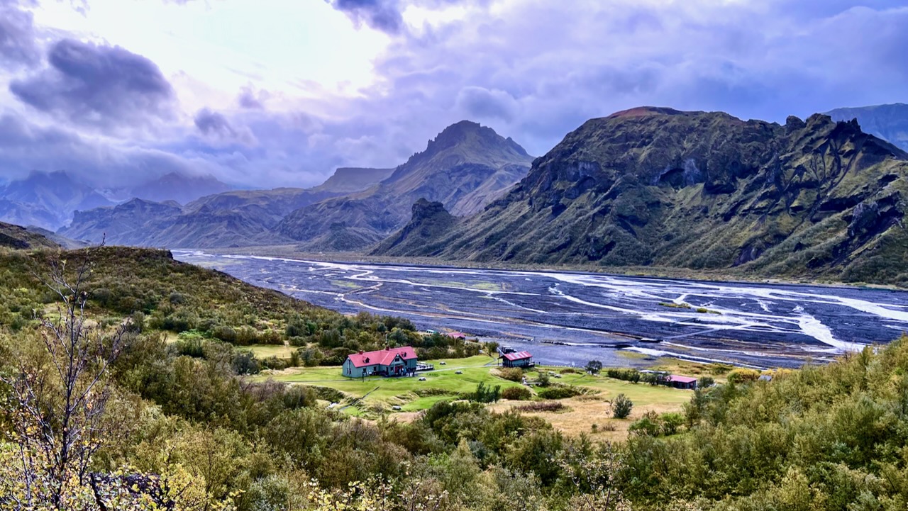
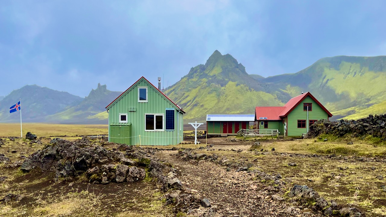
… After about 11 hours with very few breaks, I made it to Langidalur hut in Þórsmörk.
In fact, I HAD to keep walking all day to stay warm!
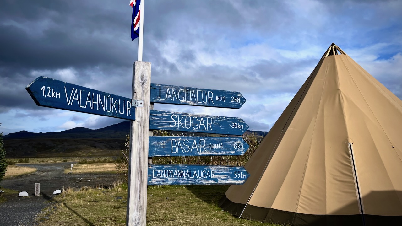
I marched past, trying to cross the river to Basar campsite, closest to the start of next day’s Fimmvörðuháls hike. I’d heard the hut had been closed most of the summer, but that the campground was open.
The wardens were having dinner. Called me over. And explained that they’d taken out the bridges due to the continuous rain. The river was impassable.
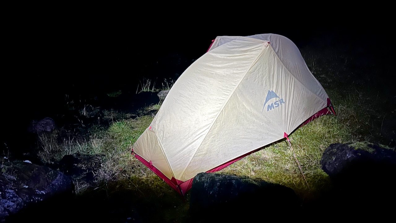
I had a choice to be a wet rat in a wet tent for the night. Or check in to the hut at a cost of about $90.
Another fun guided group convinced me to join them inside. Gave me $5 hot shower tokens. And offered me dinner and wine. It was perhaps the best $90 I ever spent.
Sept. 17, 2023
I was still hopeful the rain would break and I’d somehow be able to cross the river. And continue to the coast.
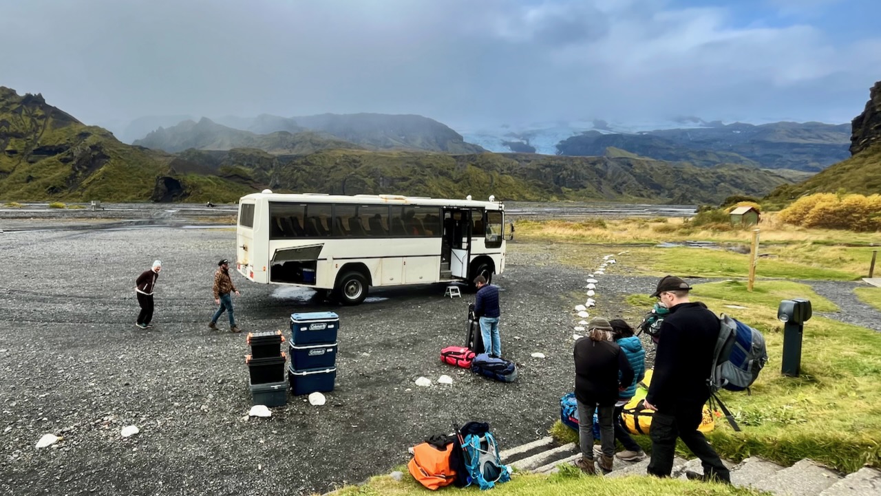
BUT the wardens and tour group offered me a chance to get a lift with them back to Reykjavik. I couldn’t say no.
Morning did arrive with better weather.
We did some day hiking.
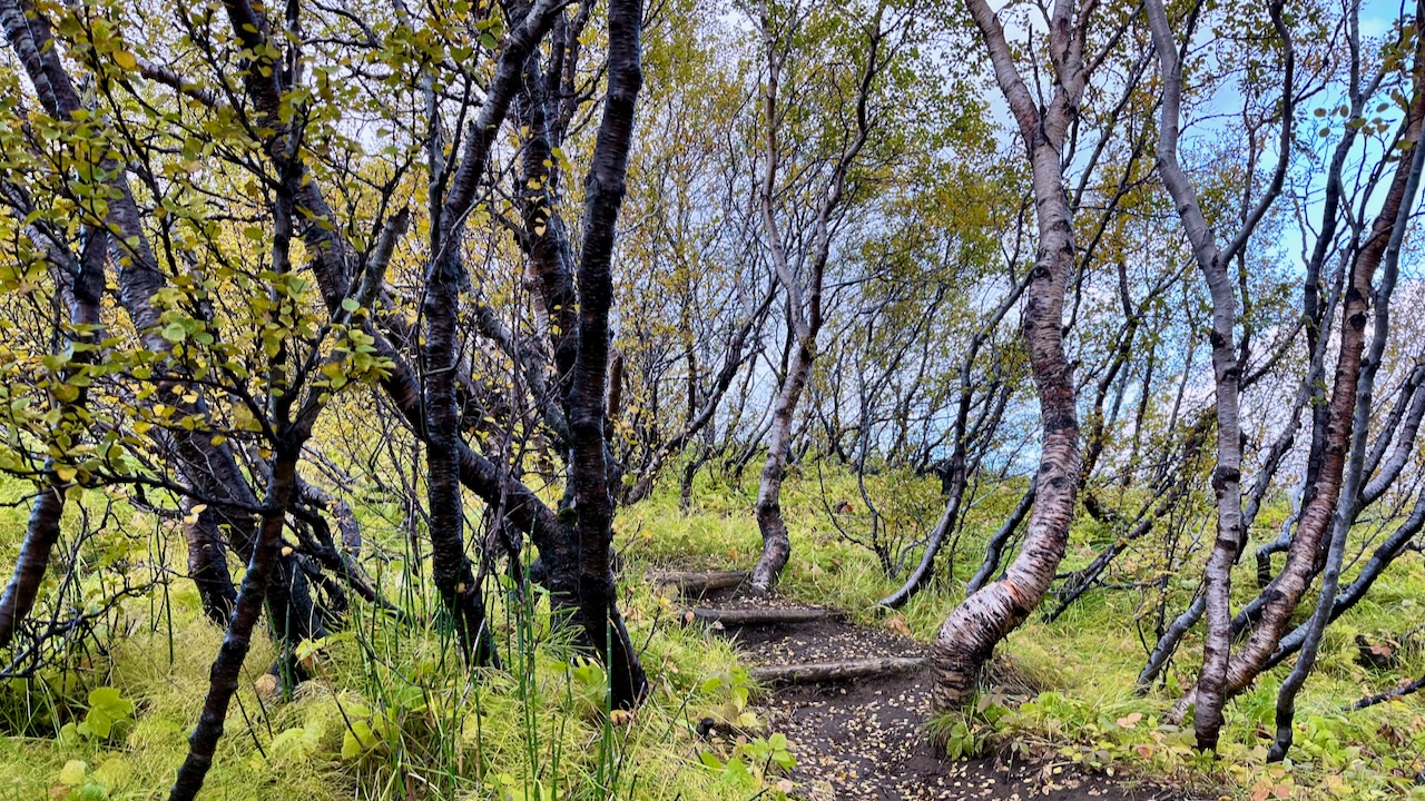
Þórsmörk (Thorsmork – the Valley of Thor) is an area where trees are protected. And there are some surprisingly large trees.
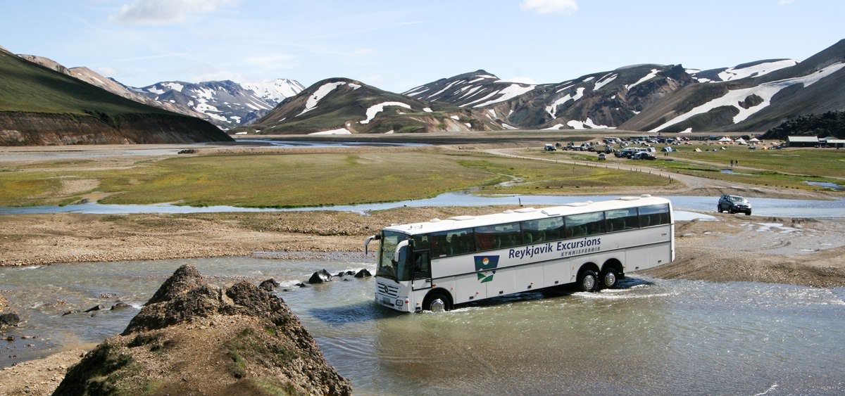
Our bus did get stuck crossing the river for rendezvous. But the wardens have a tractor for flattening the river bed and even towing the bus, if needed.
The driver did not look worried. This is situation normal for him.
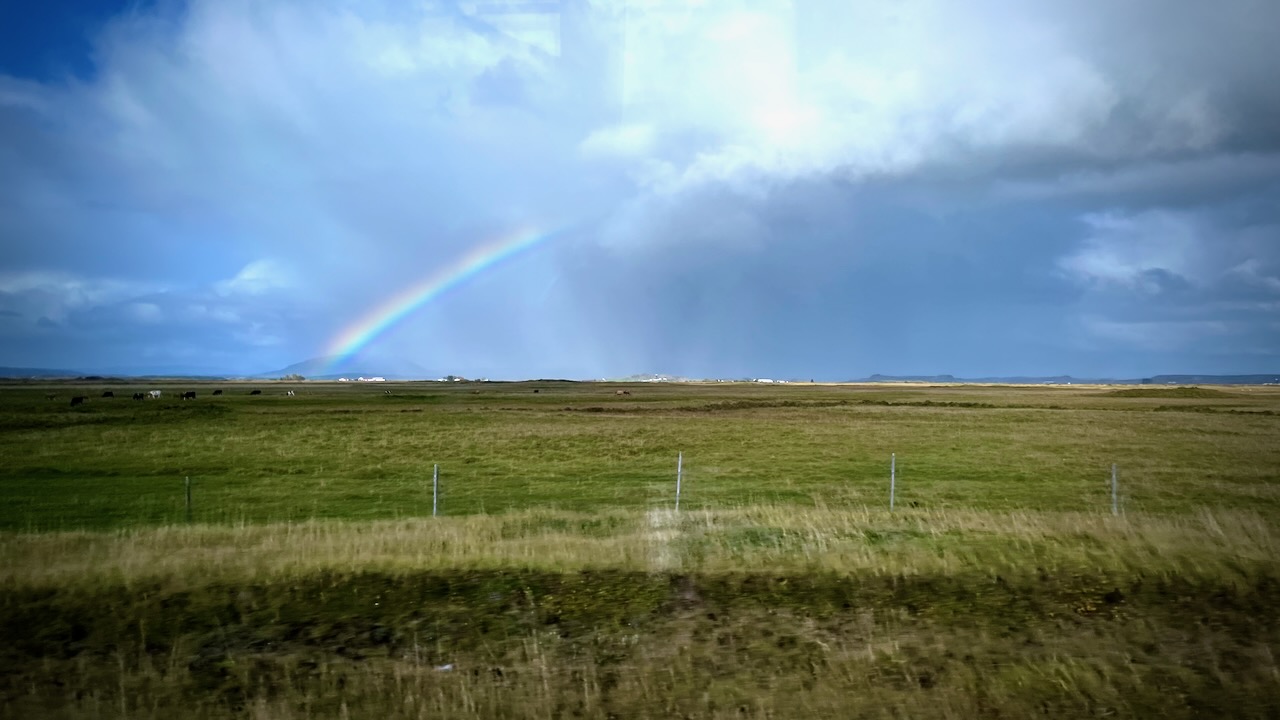
I enjoyed the ride back to Reykjavik with the tour group. Weather mixed, but improving.
Overall I was thrilled with the hike. Happy to have done the YOYO. Happy to have had only one day of bad weather in September.
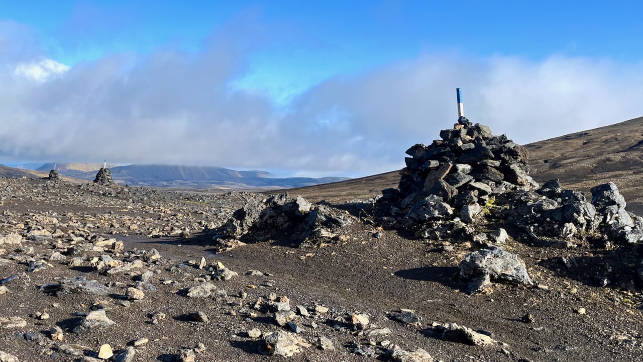
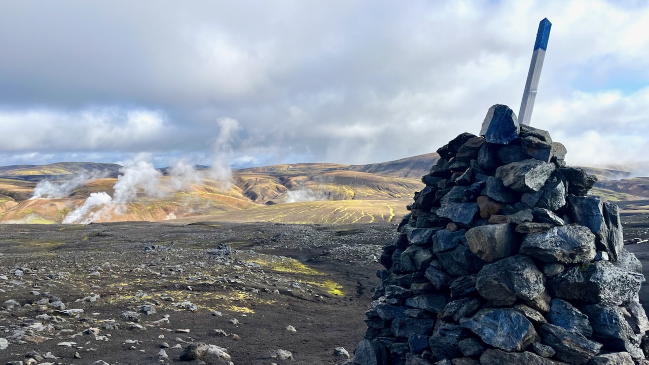
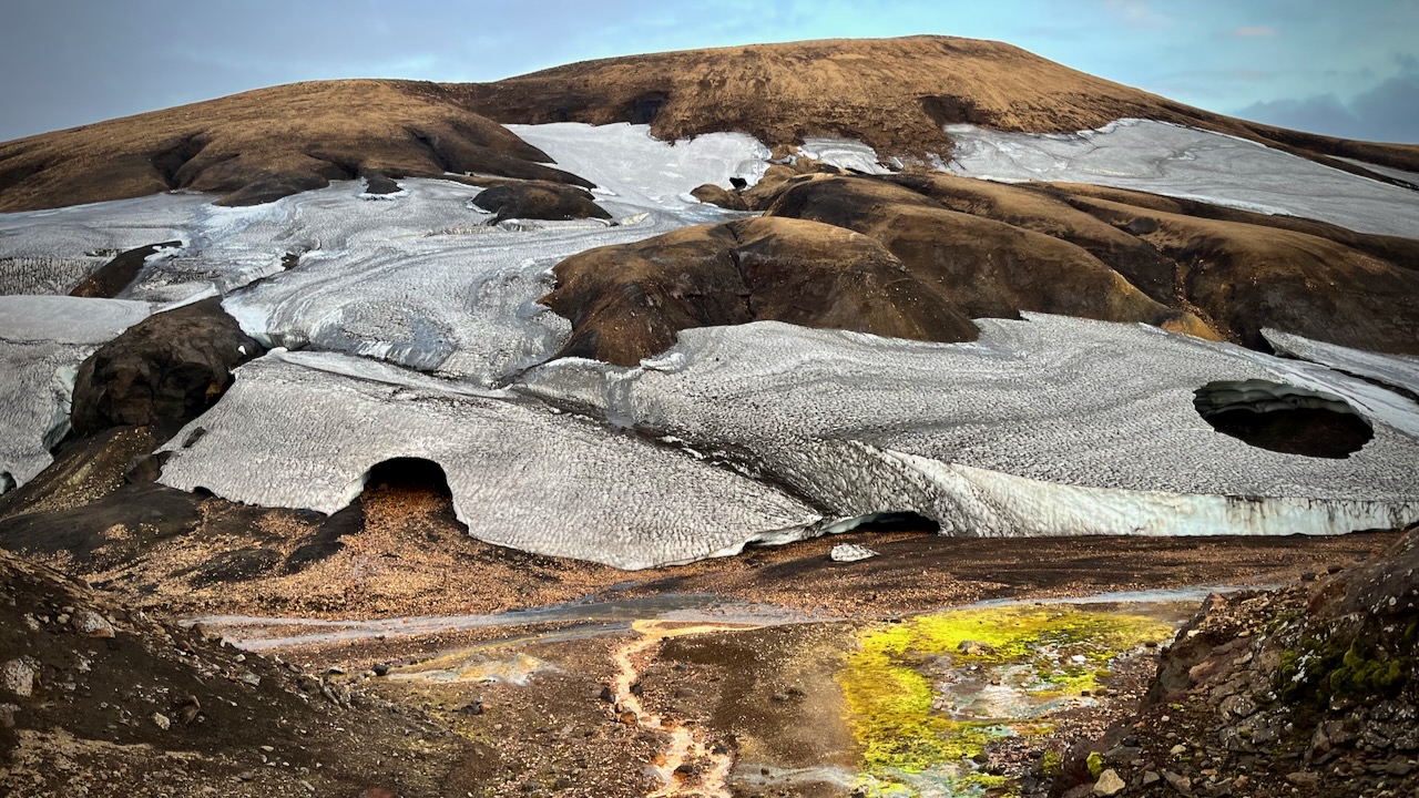
It’s in this high section in a snow storm where people might most easily lose the trail. Therefore it’s better marked with cairns and posts than anywhere else on the trail.
I had lunch at Hrafntinnusker. Met a fun American guided group who I would bump into several more times over the next 2 days.
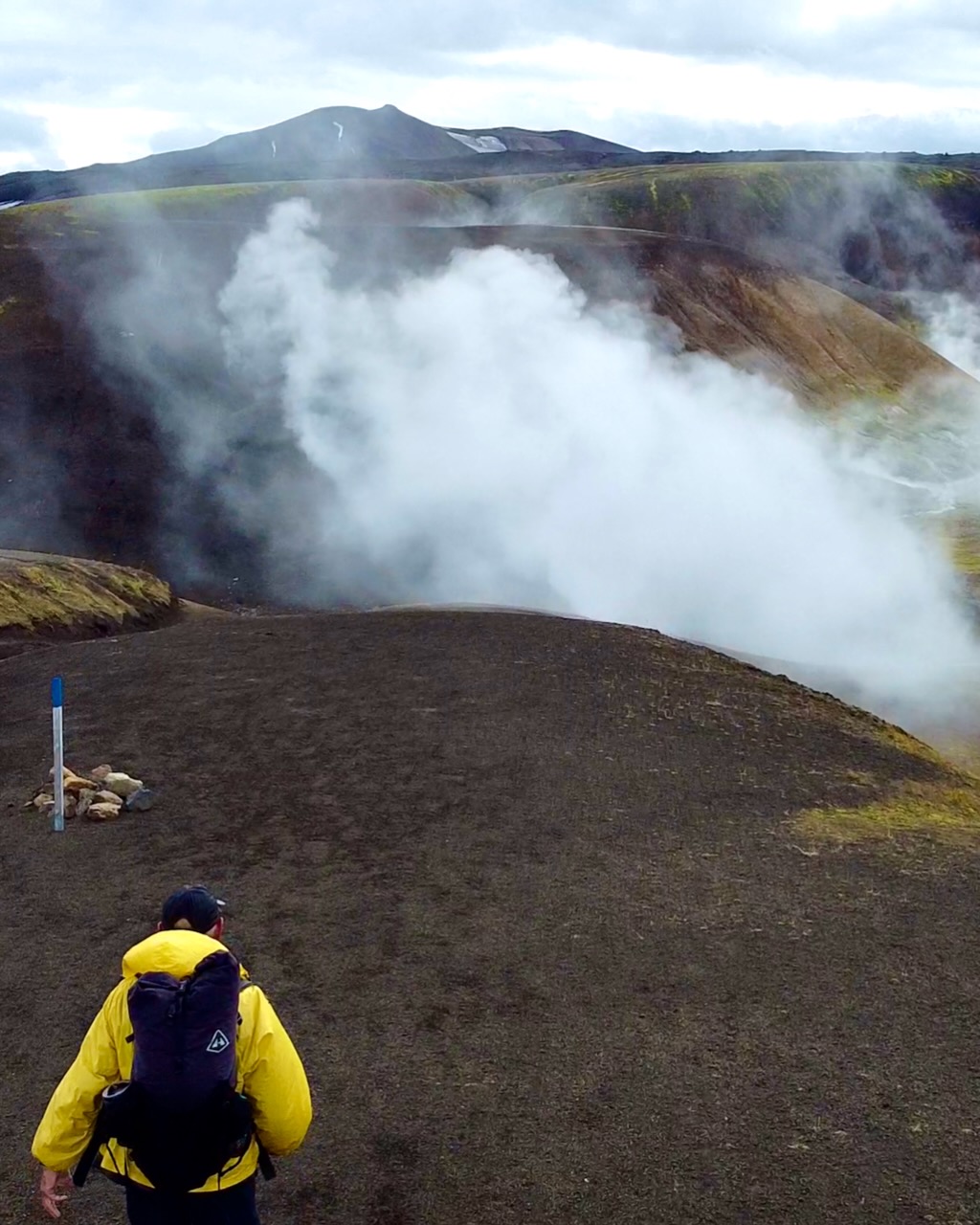
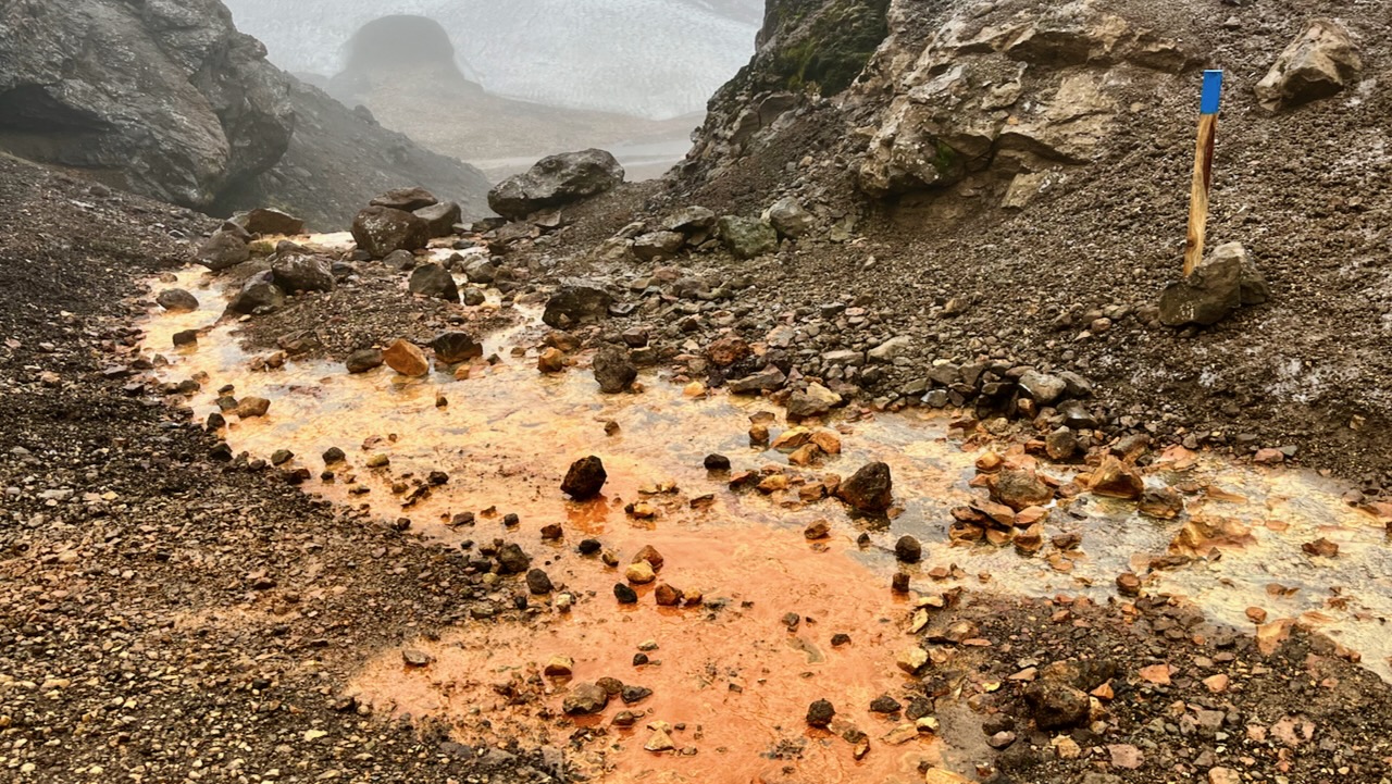
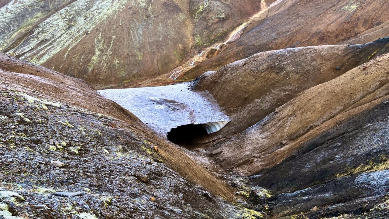
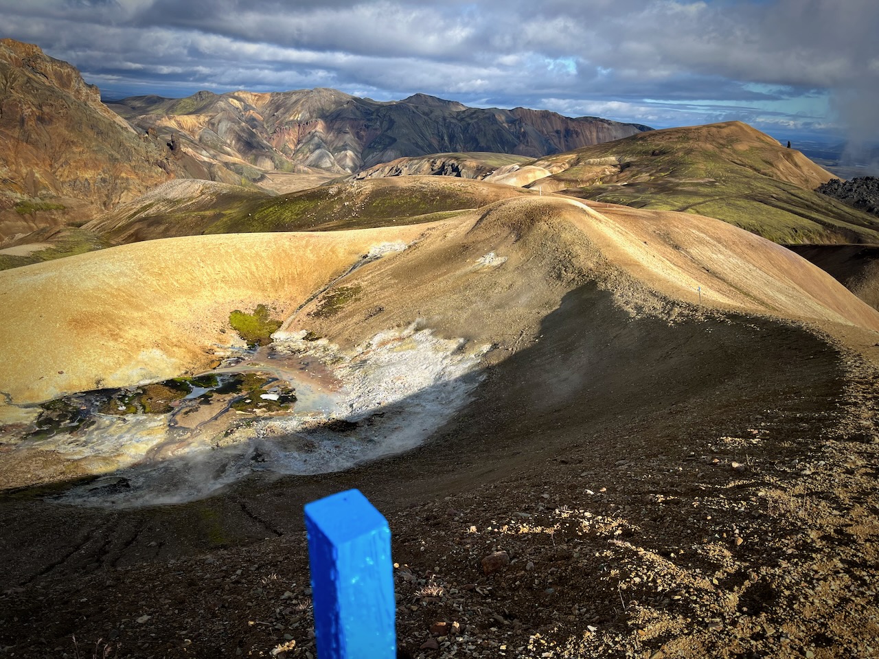
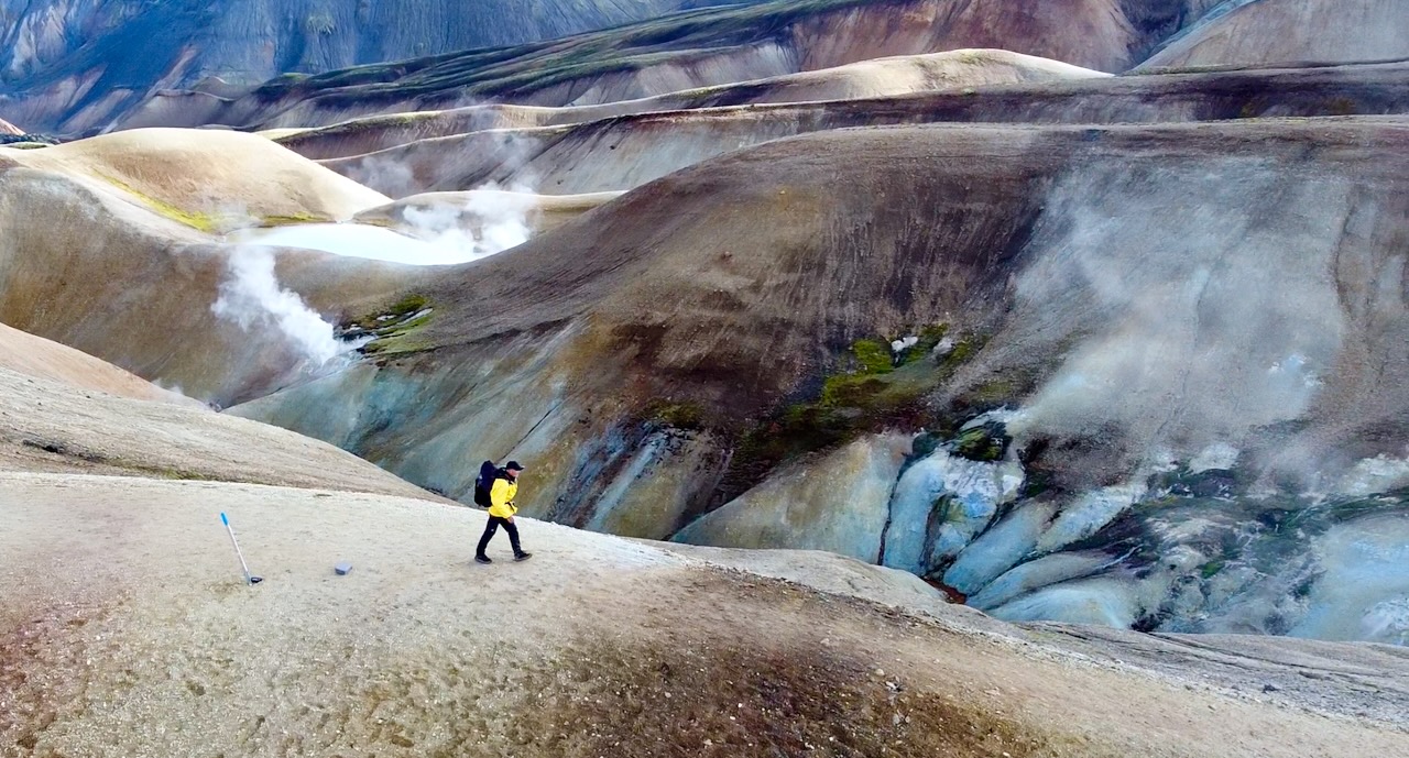
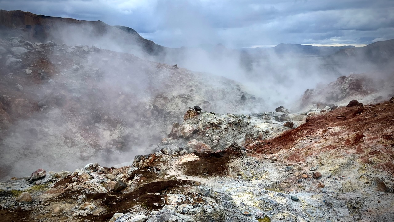
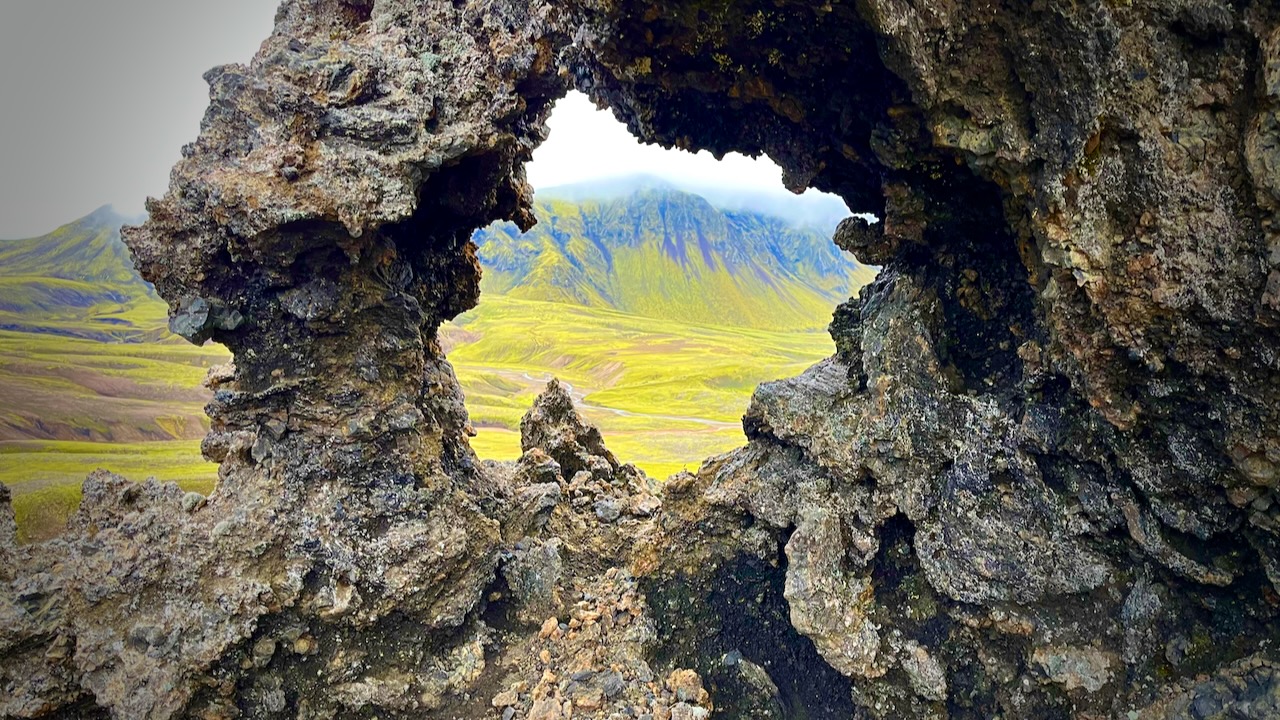
As you approach the end, there’s more and more volcanic activity.
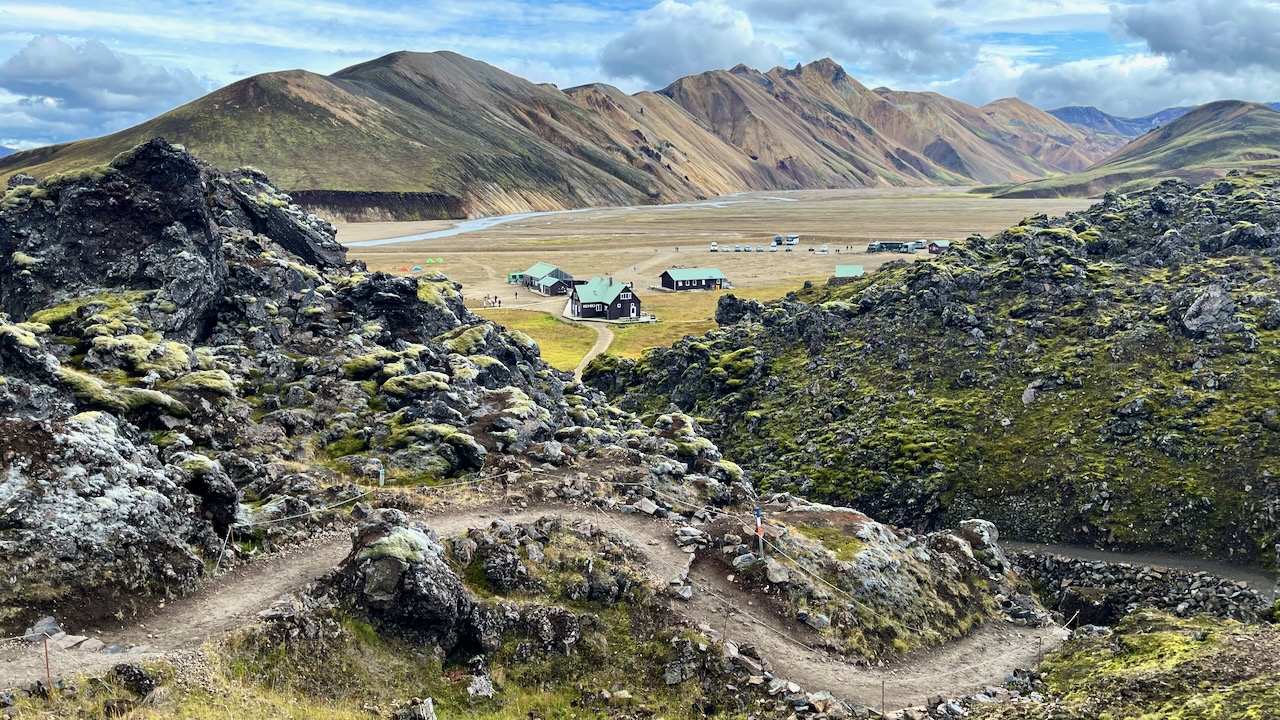
Landmannalaugar came into sight. My half way point for the day.
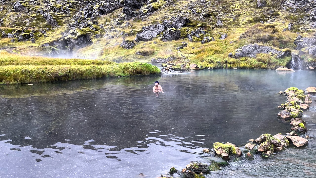
In August, the hot springs at Landmannalaugar are typically crowded.
But in mid-September there were only a few people enjoying a huge pool.
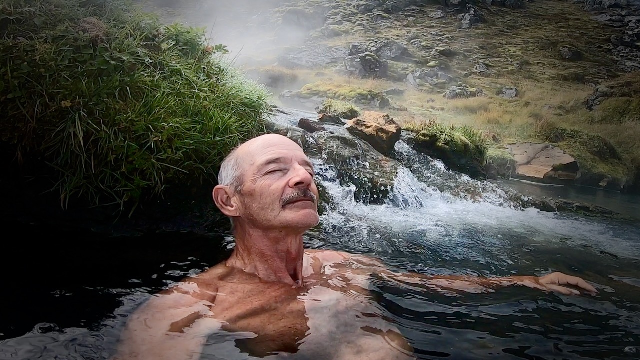
It’s hot. You can easily get scalded so positioning yourself carefully is critical. This was my best spot.
I had lunch. Then started back the way I had come. STILL confident I could get to my tent before dark. 😀
The return trip was equally good. But different in that you are facing the opposite direction with much different light.
Happily, no rain the rest of the day.
There’s the lake. One more descent and I’ll make it.
Unfortunately, It WAS dark before I got home. Days are already getting short in Iceland in September.
Even with a good headlamp it was easy to lose the trail. I had to rely on the GPS via Maps.me in order not to get lost.
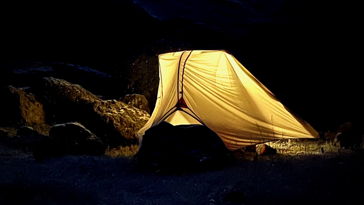
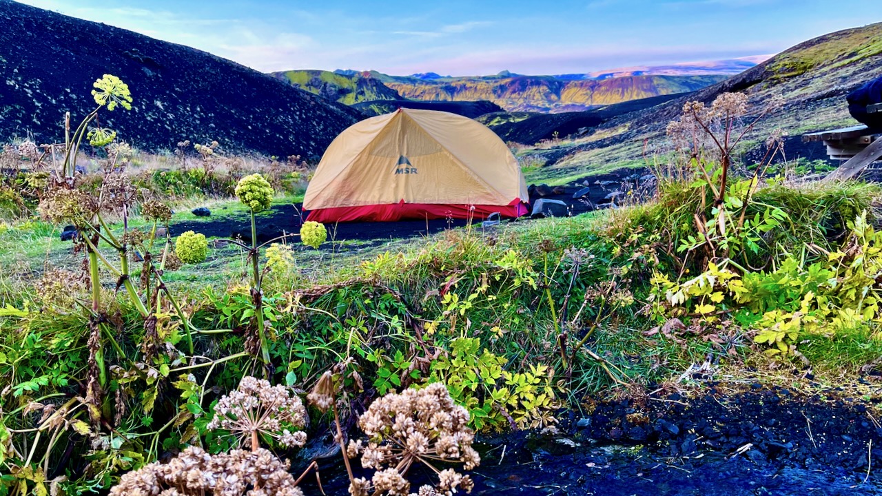
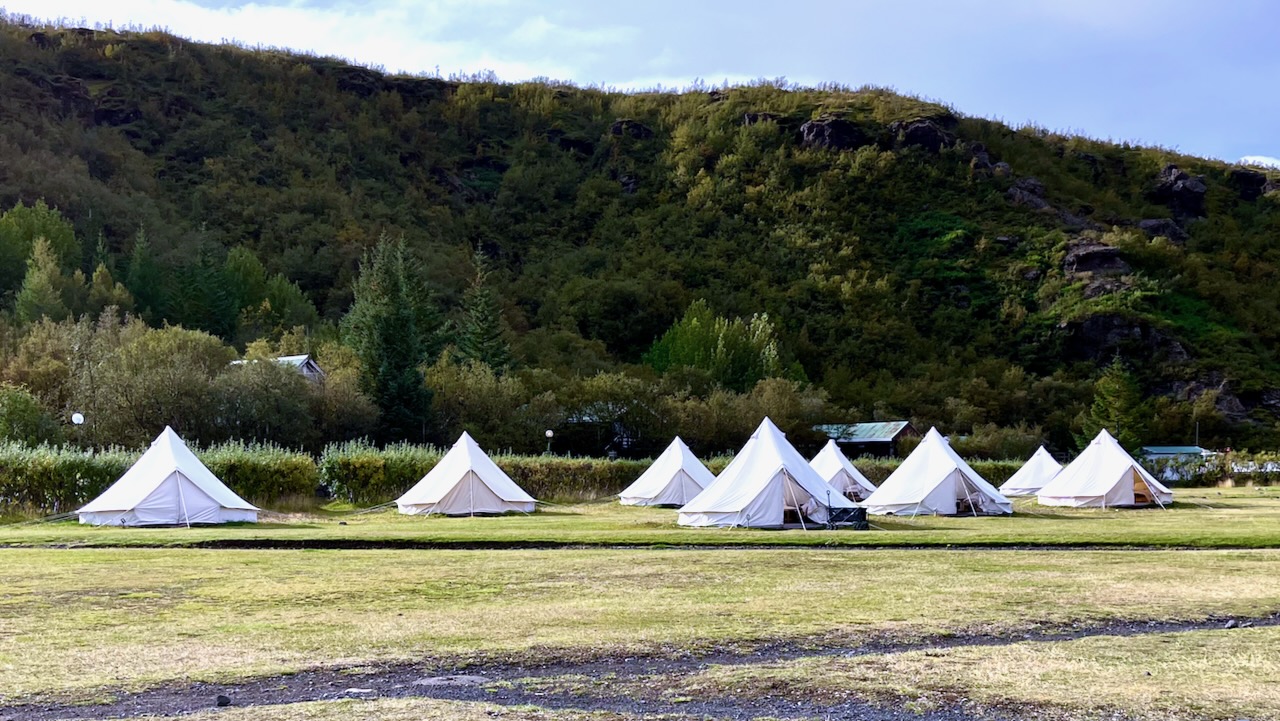
Volcano hut offers these luxurious rental tents. Glamping. 😀
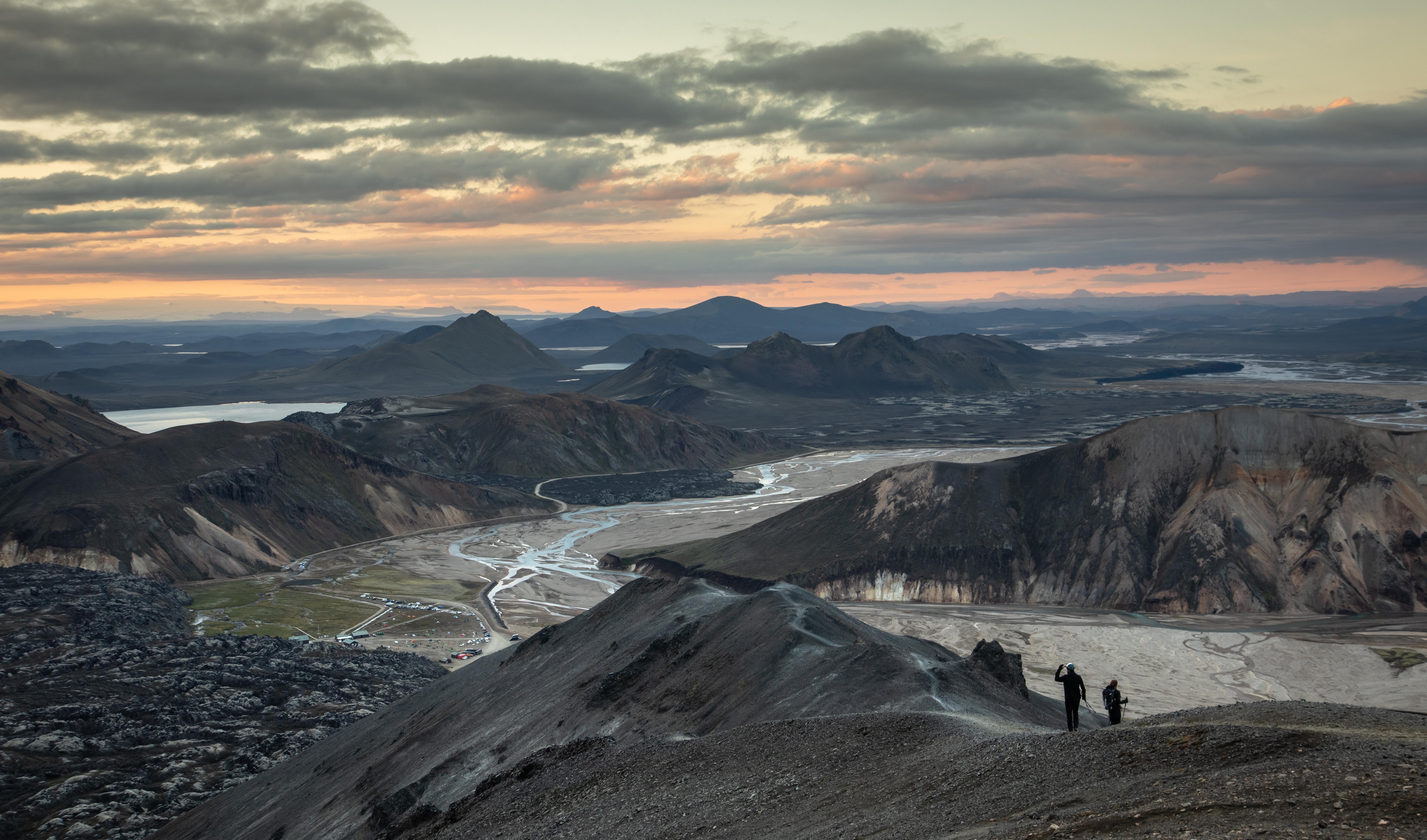
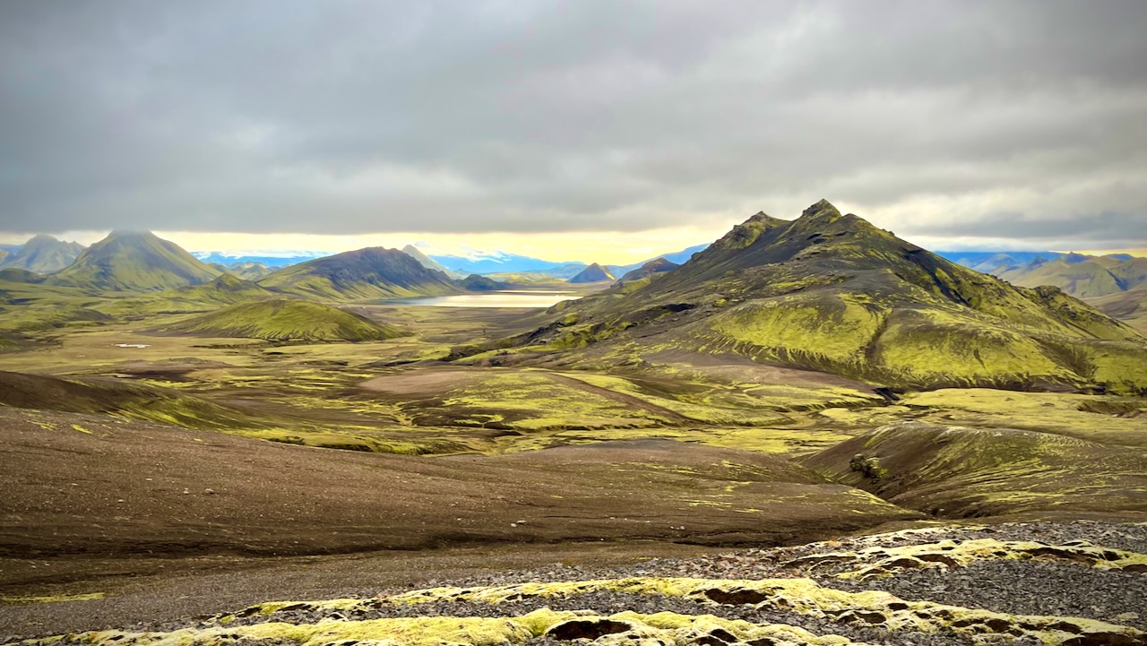
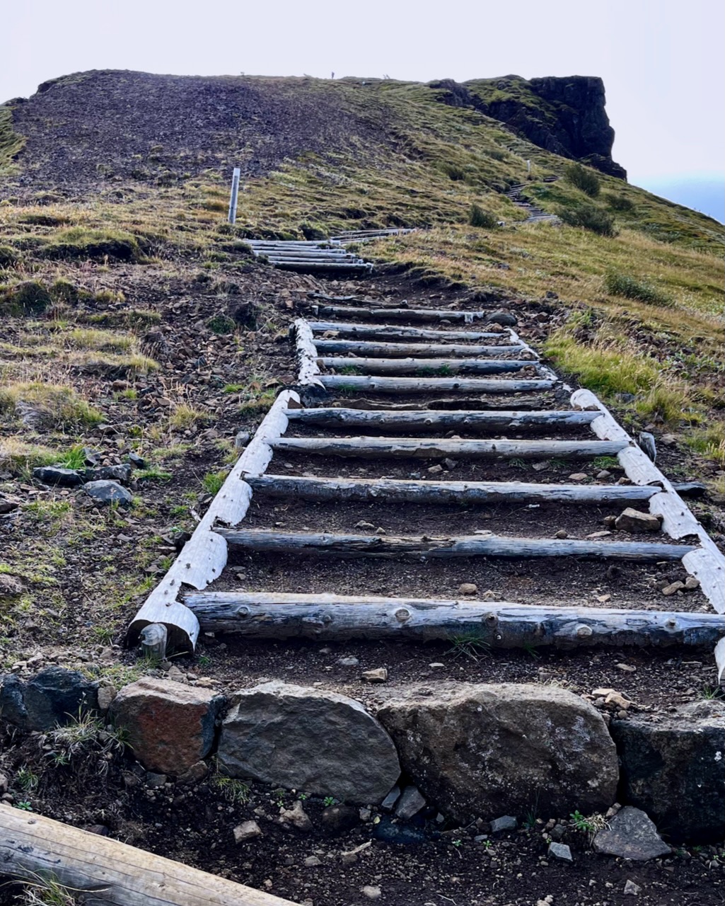
I dropped my pack and — as the weather was good — hiked up the closest viewpoint with most everyone who had arrived with me.
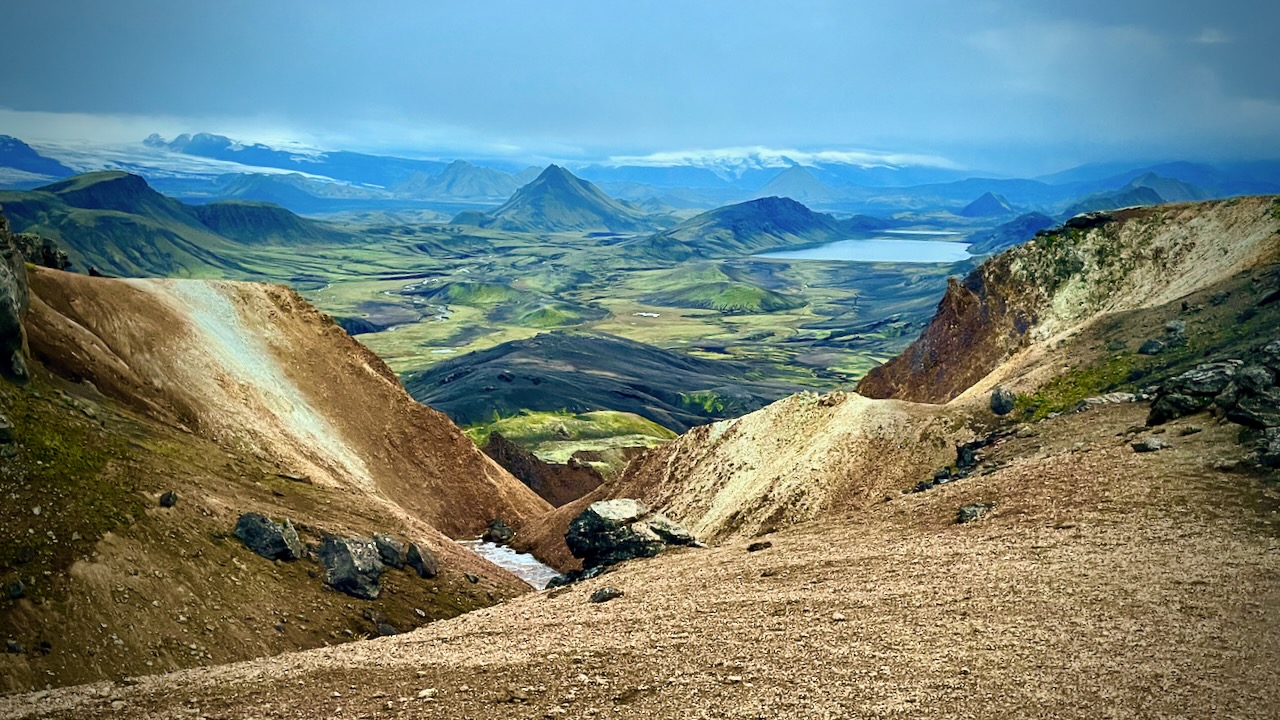
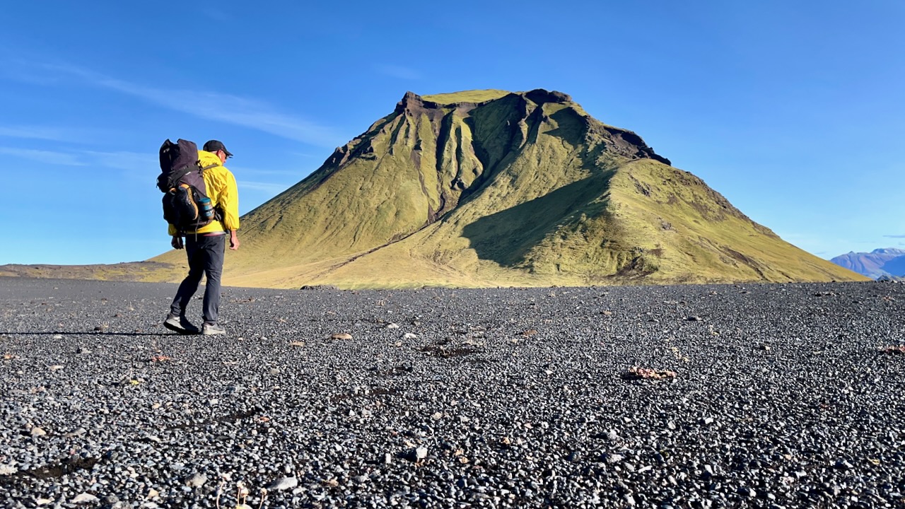
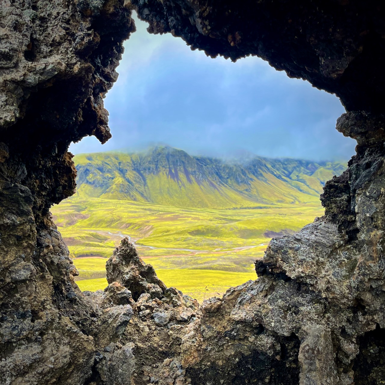
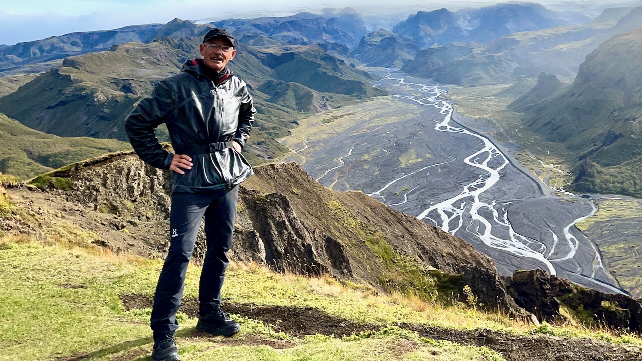
Wow. This is the Iceland I remember.
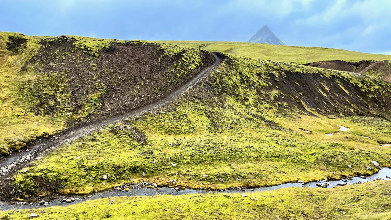
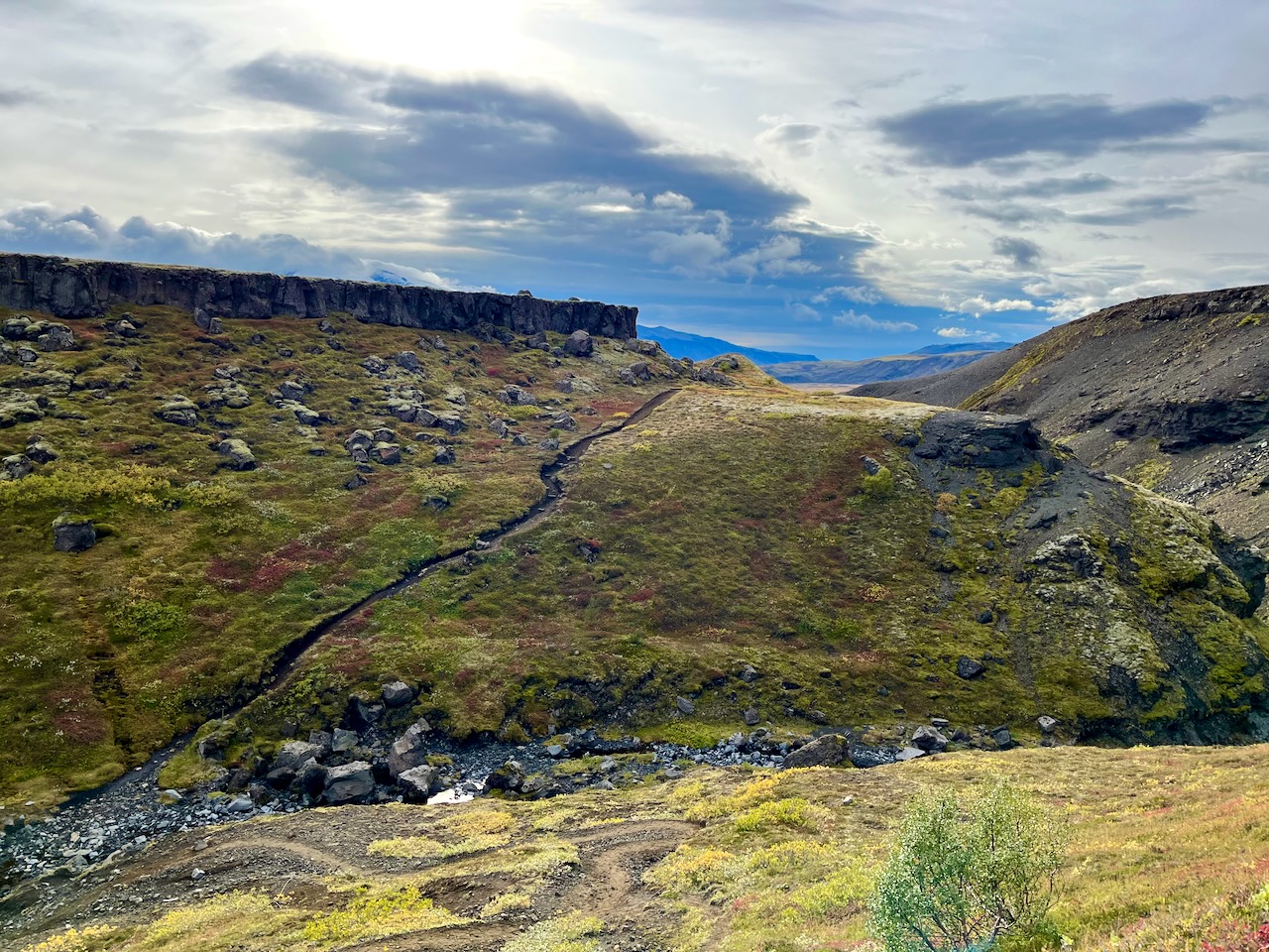
I planned to cross this river on foot when I returned.
We took a different trail down to Langidalur camp. Then hiked around the mountain back to Volcano.
It was only 13.5km to the first official campsite Emstrur / Botnar so I was in no rush.
I took a lot of photos. Shot plenty of video.
River Crossings
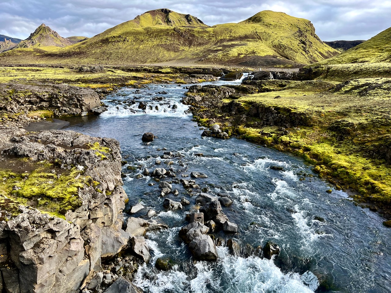
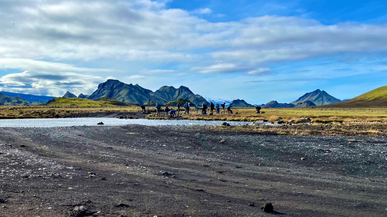
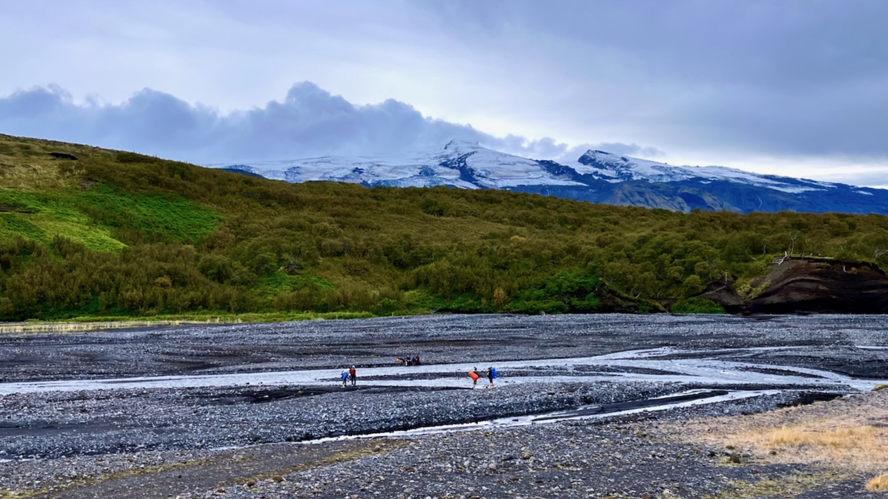
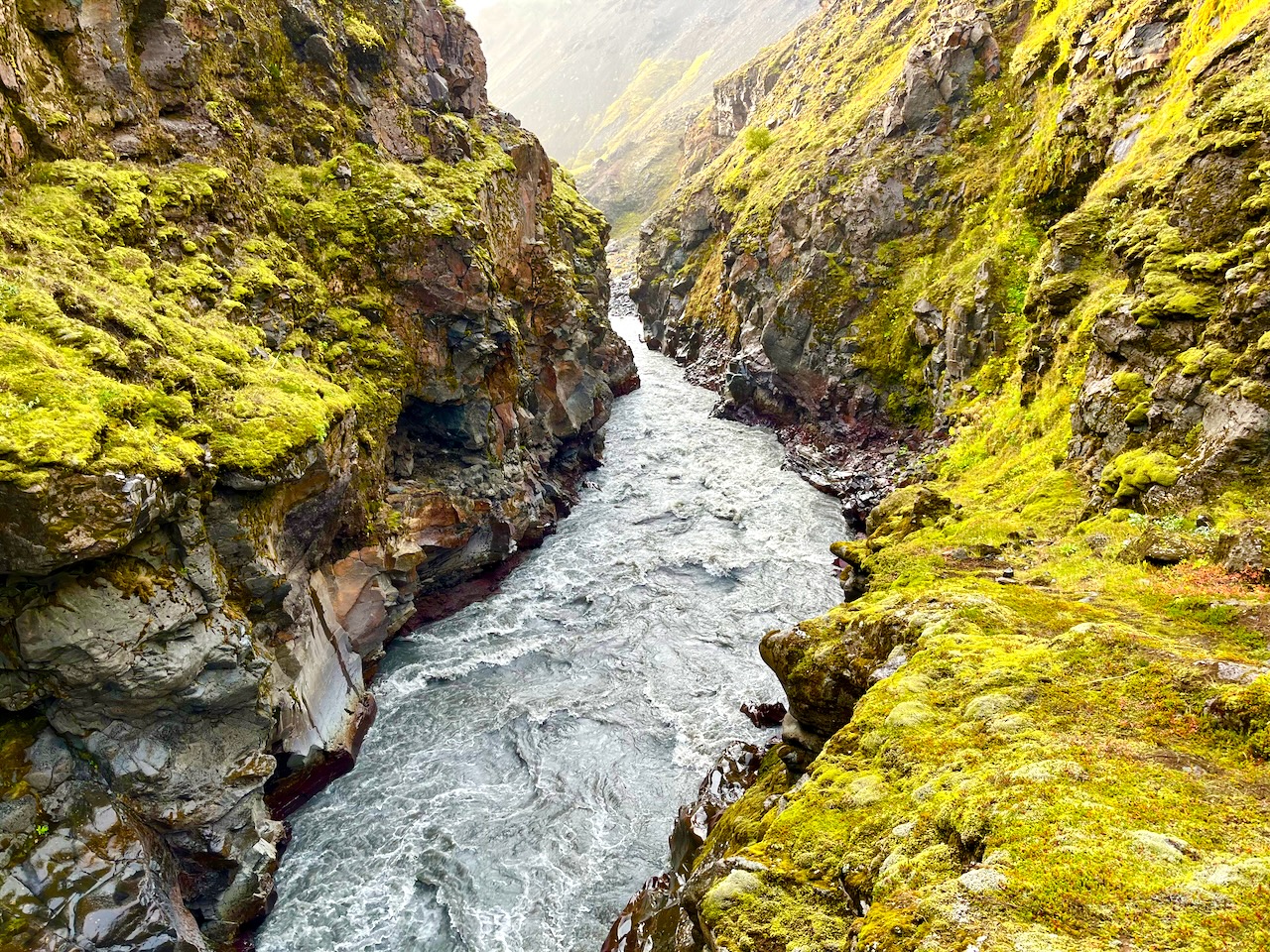
The most dangerous part of hiking Laugevagur are the river crossings. Plan carefully what footwear you want for wading slippery stones in (potentially) a thigh high. strong current.
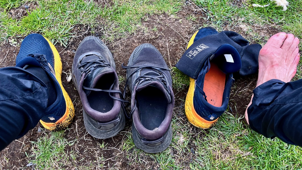
I hiked in approach shoes. Used trail runners with neoprene booties for the river crossings and around camp.
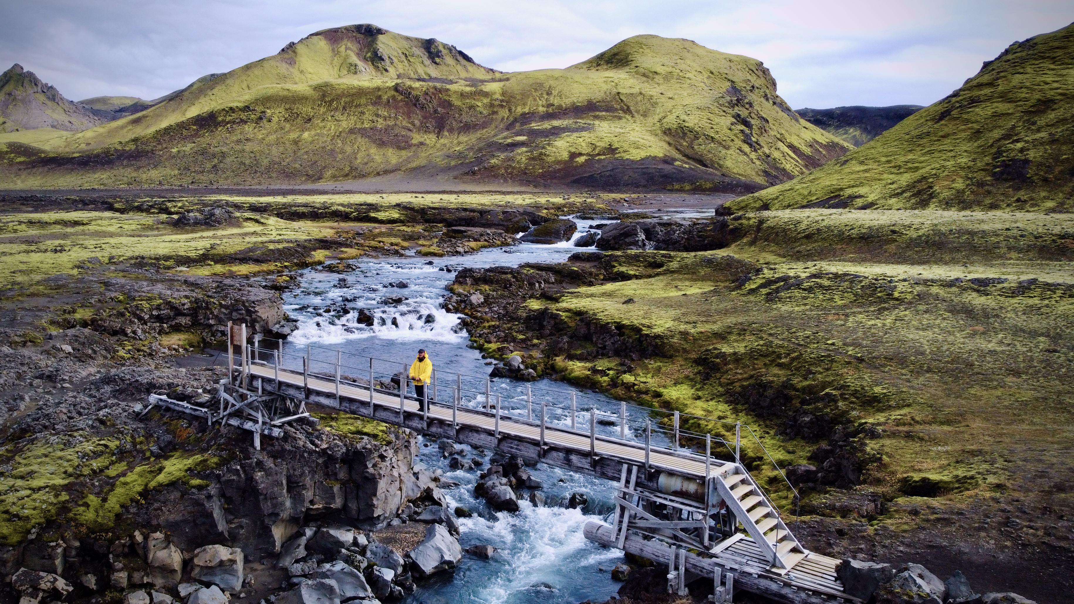
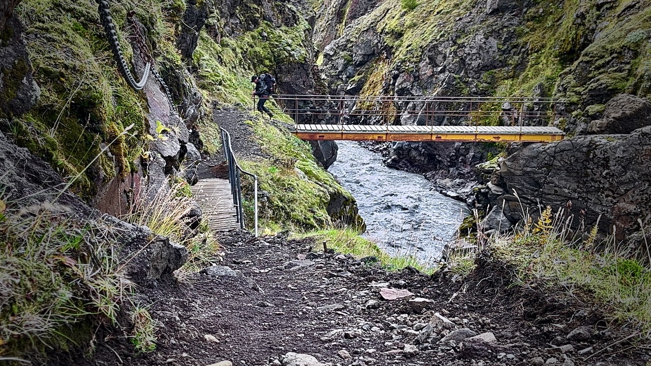
Once in a while you have the luxury of a bridge.
Most available bridges are across gorges too steep to wade.
The trail is fairly well signed.
IF you have good visibility, it’s not easy to wander off trail.
Weather changes frequently. Sometimes drastically.
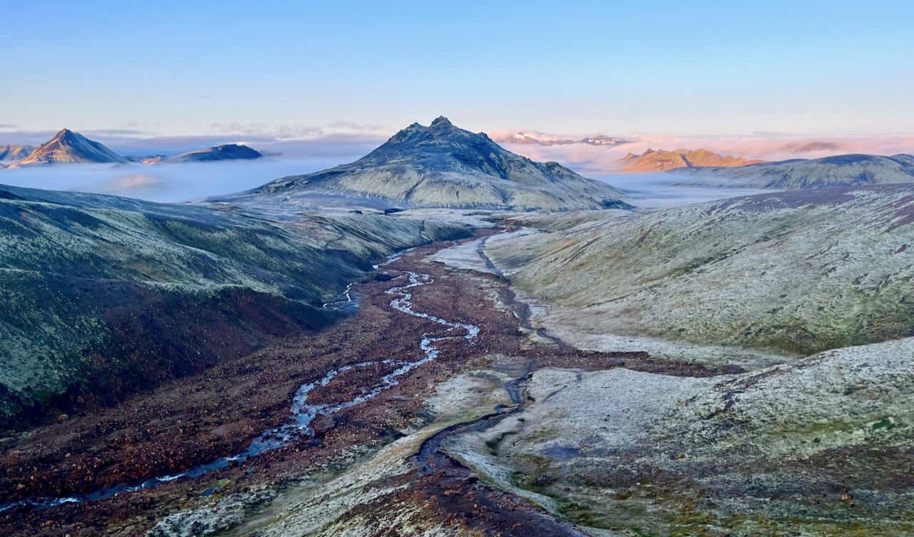
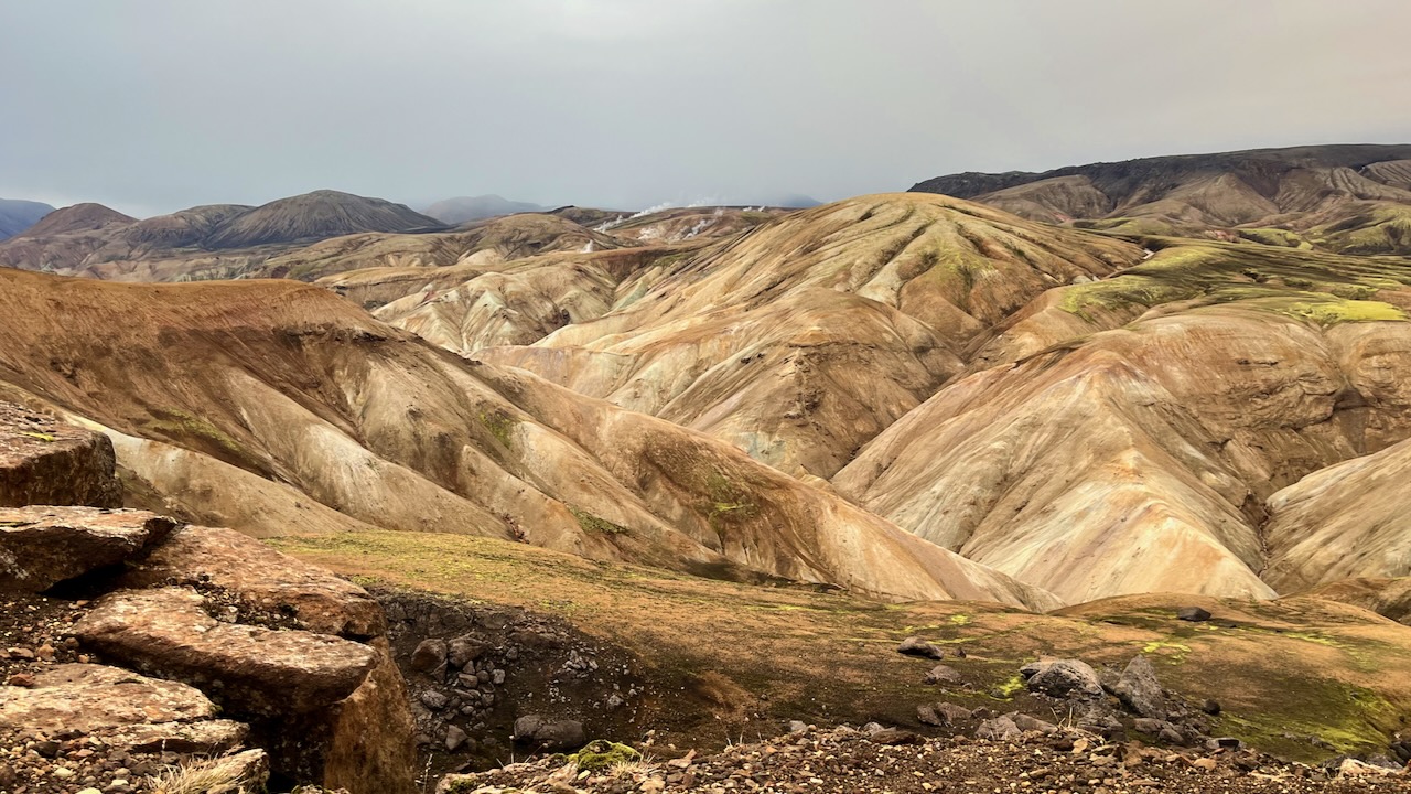
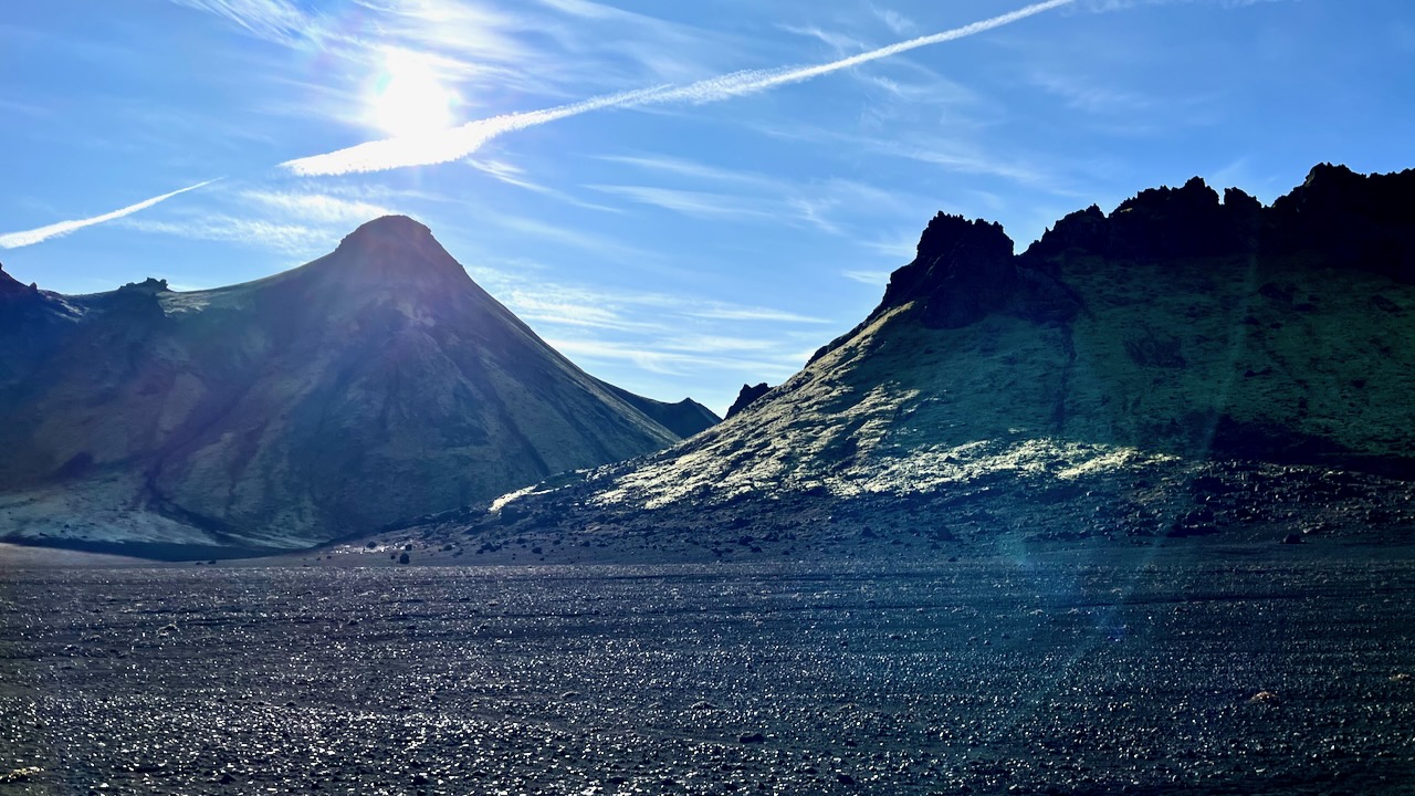
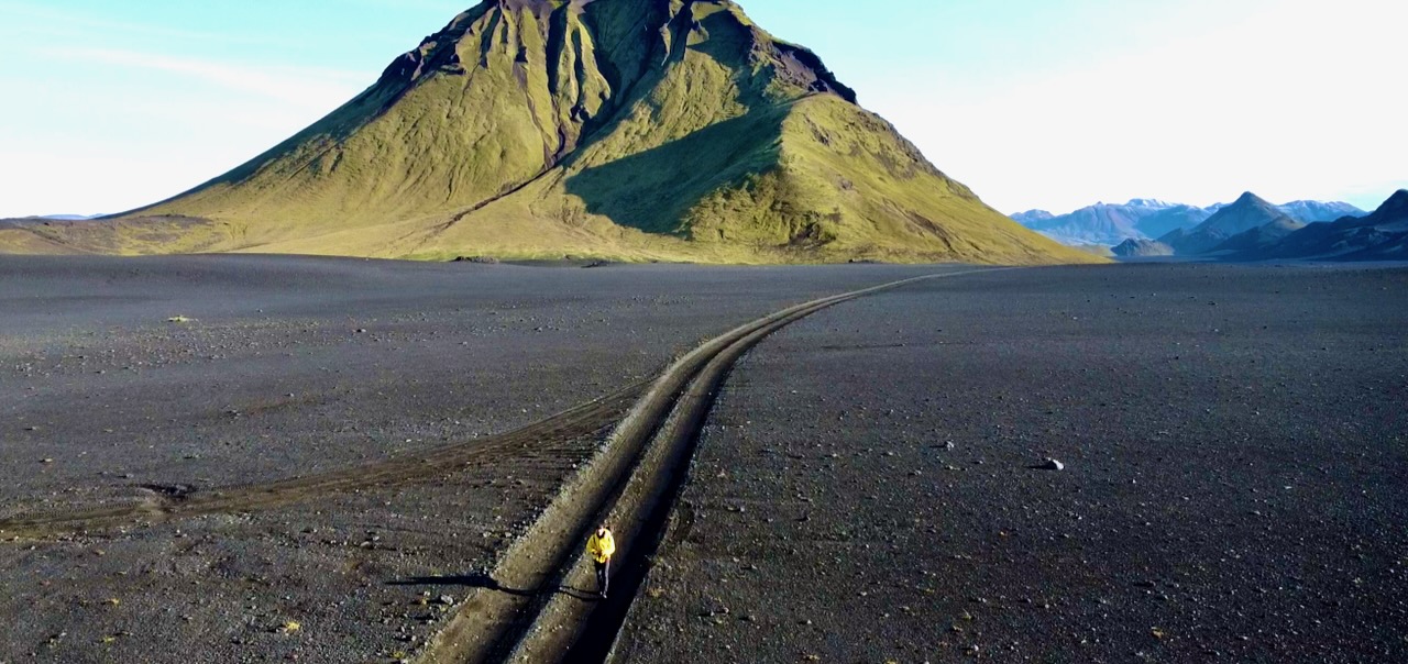
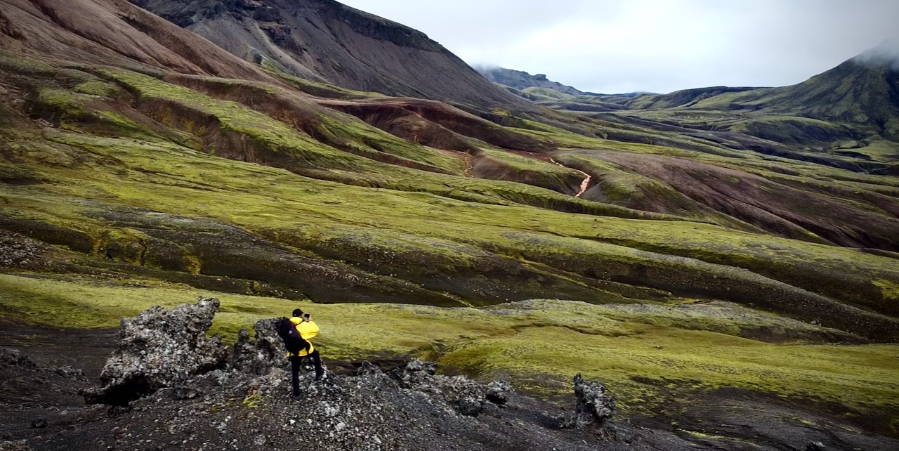
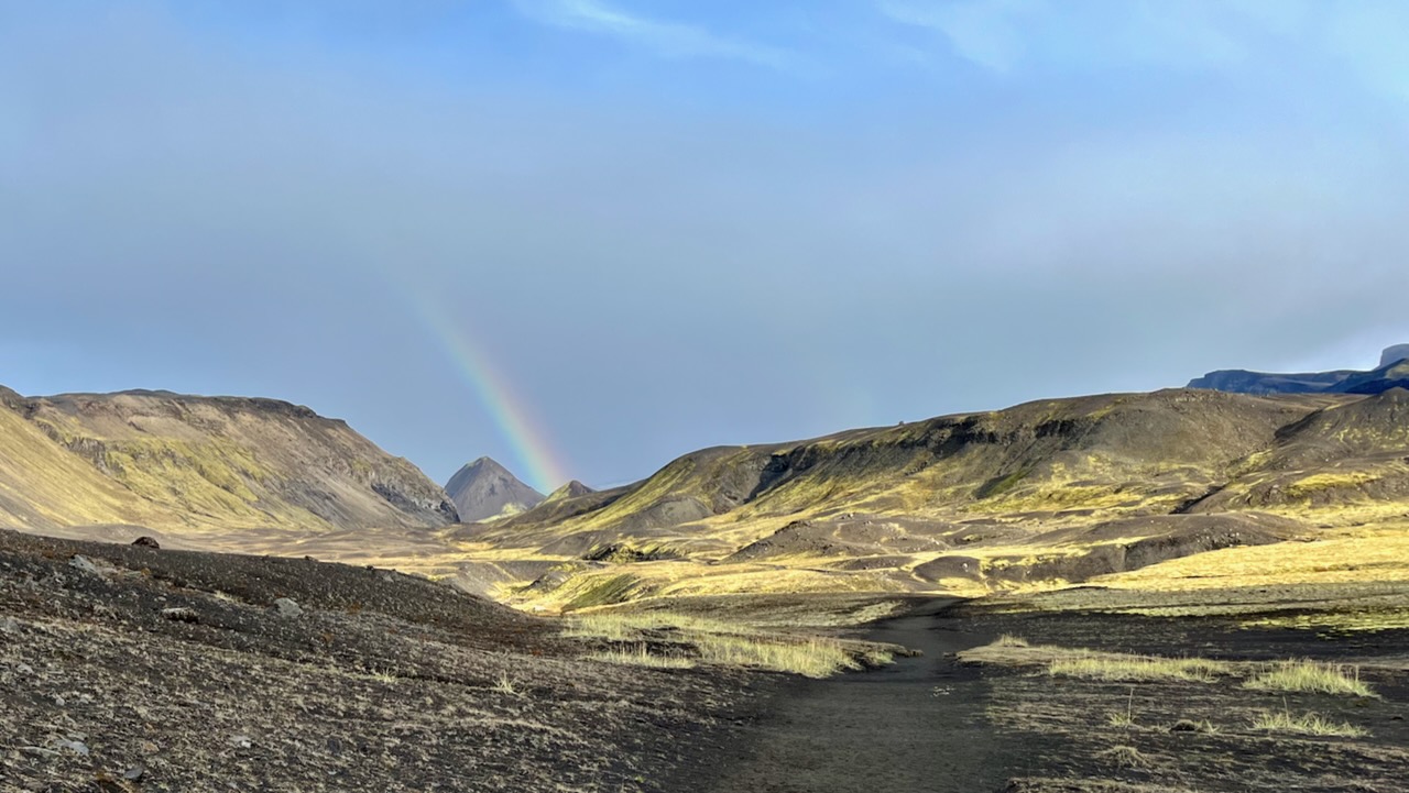
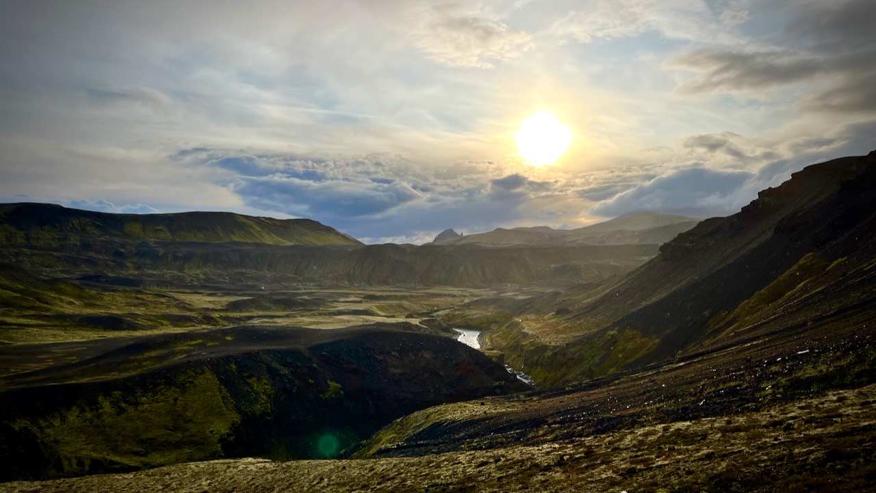
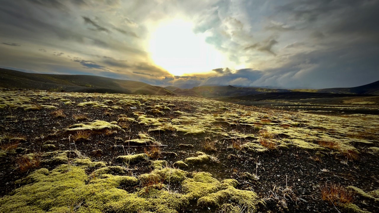
I love the bleak, treeless landscapes when the sun is low.
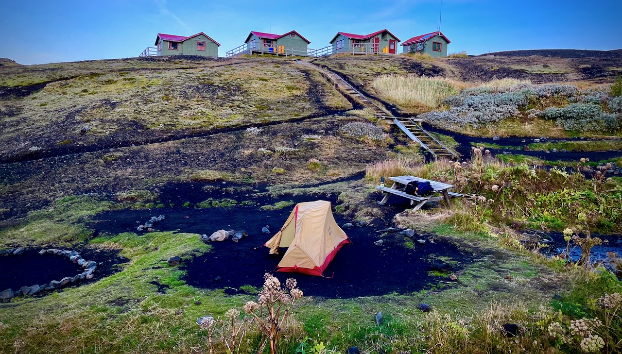
I’d camped at Emstrur Botnar 5 years earlier and liked the tent sites, somewhat protected from the wind.
I was probably making a mistake going so late in the season. Laugevagur could shut down any time after Sept. 11th due to weather.
All agree that Laugavegur is the best hike in Iceland. It’s fairly close to Reykjavik. There are a number of transportation options to get to the trailheads.
Cost
For me as a tourist, Iceland has been by far the most expensive nation. And I’ve been to over 90 nations.
Bring. Money. $$$$$
You probably don’t need any Icelandic currency as they accept credit card almost everywhere. The notable exception is local buses that only take cash or payment by their own app.
Food & Fuel
Knowing that food is expensive and limited in variety, I brought quite a bit of camping grub with me on the plane.
I bought the rest in Reykjavik. And bought a small canister of very expenisve fuel.
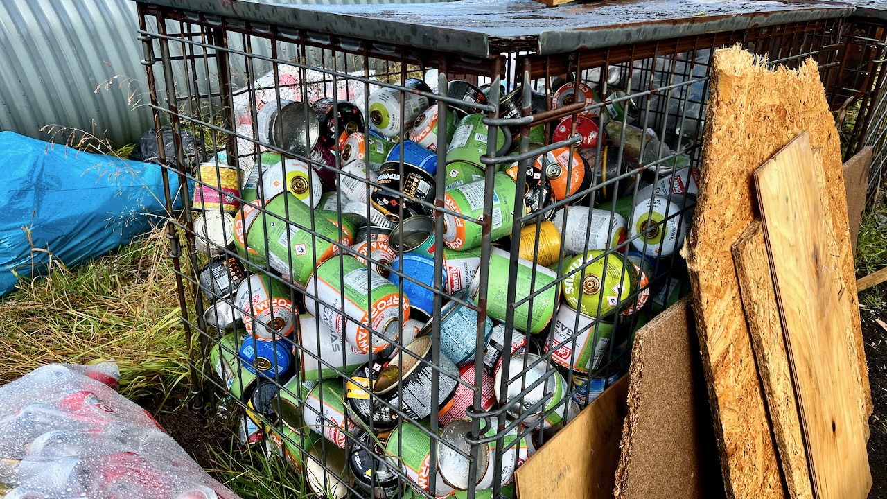
Of course there are hundreds of partial containers at the trailheads, but I didn’t want to risk not having fuel.
Fuel canisters left behind at Langidalur, Sept. 2023
Transportation
Deciding on this adventure last minute, I was excited to do it late in the season when there would be fewer hikers. Of course, bad weather is a greater risk.
What I didn’t realize until arrival is that bus service to the trailheads started shutting down Sept. 11, 2023.
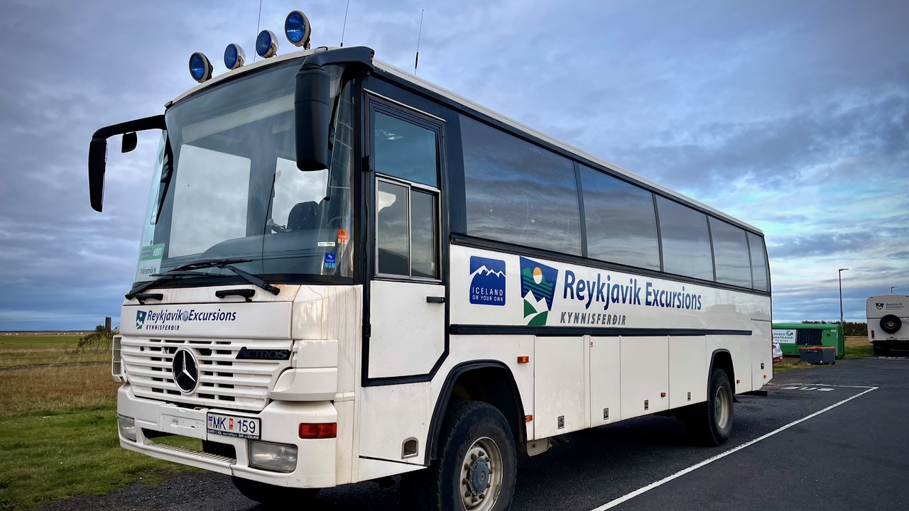
I decided to take the Reykjavik Excursions bus to Þórsmörk on Sept 13.
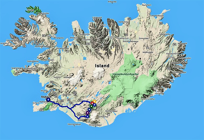
I’d YOYO the Laugavegur — hiking it both ways back to my starting point. Then continue over the Fimmvörðuháls pass to Skógar on the coastal highway. From there it would be easy to find transportation back to Reykjavík.
I did carry a paper map as back-up, but mostly used the free Maps.me app offline whenever I wanted to check that I was on track. It’s excellent for Laugevagur and most major hikes worldwide.
The one time I really needed Maps.me was coming in to camp in the dark with headlamp. It’s very easy to get confused when you can’t see the next post in the distance.
Electronics
There’s no access to power on the trail. In order to keep your devices working, bring enough power bank batteries. I brought two 20000mah batteries on my hike.
Be sure to carefully store your electronics in waterproof ways. It’s difficult to keep the rain out.
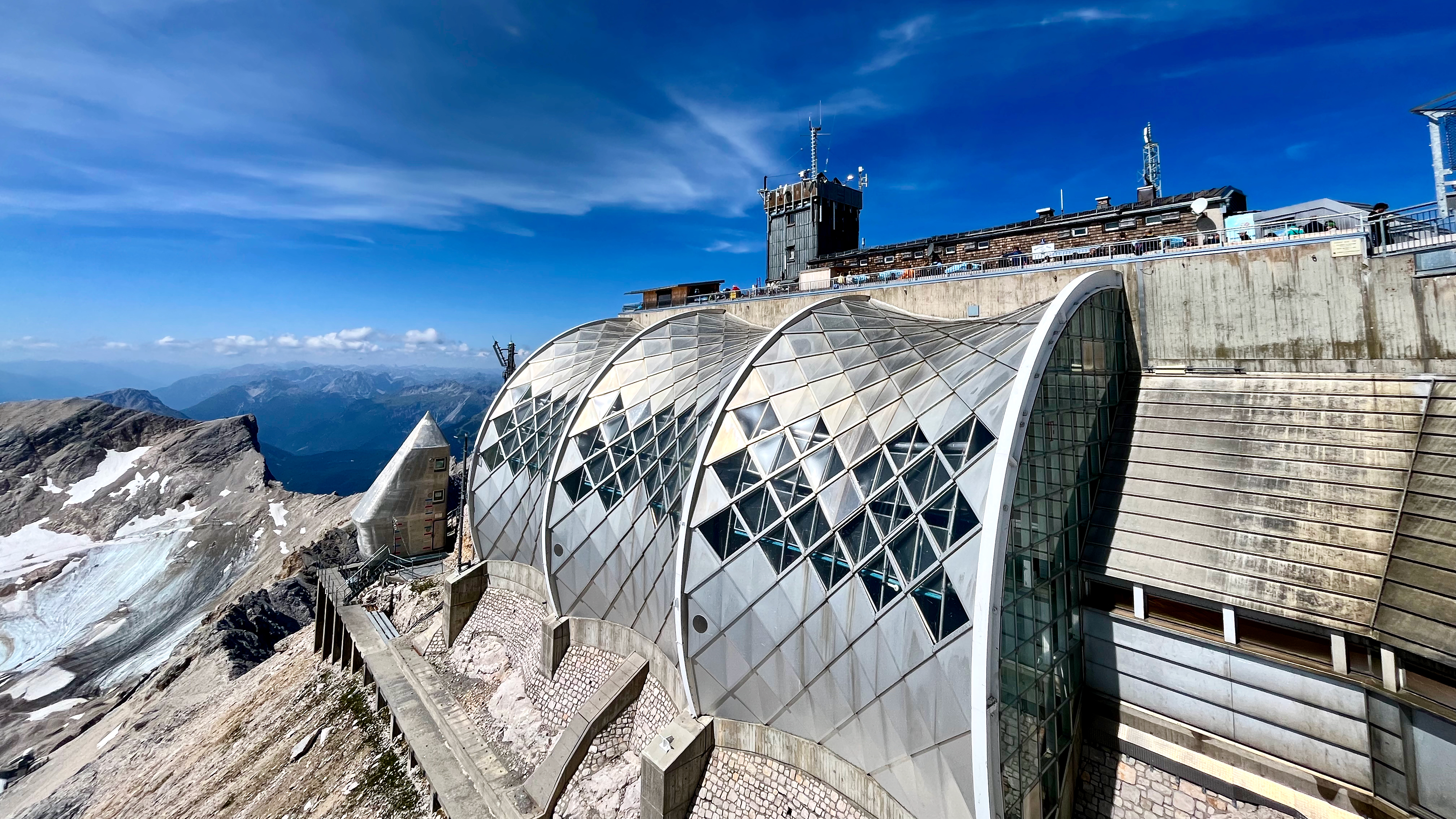
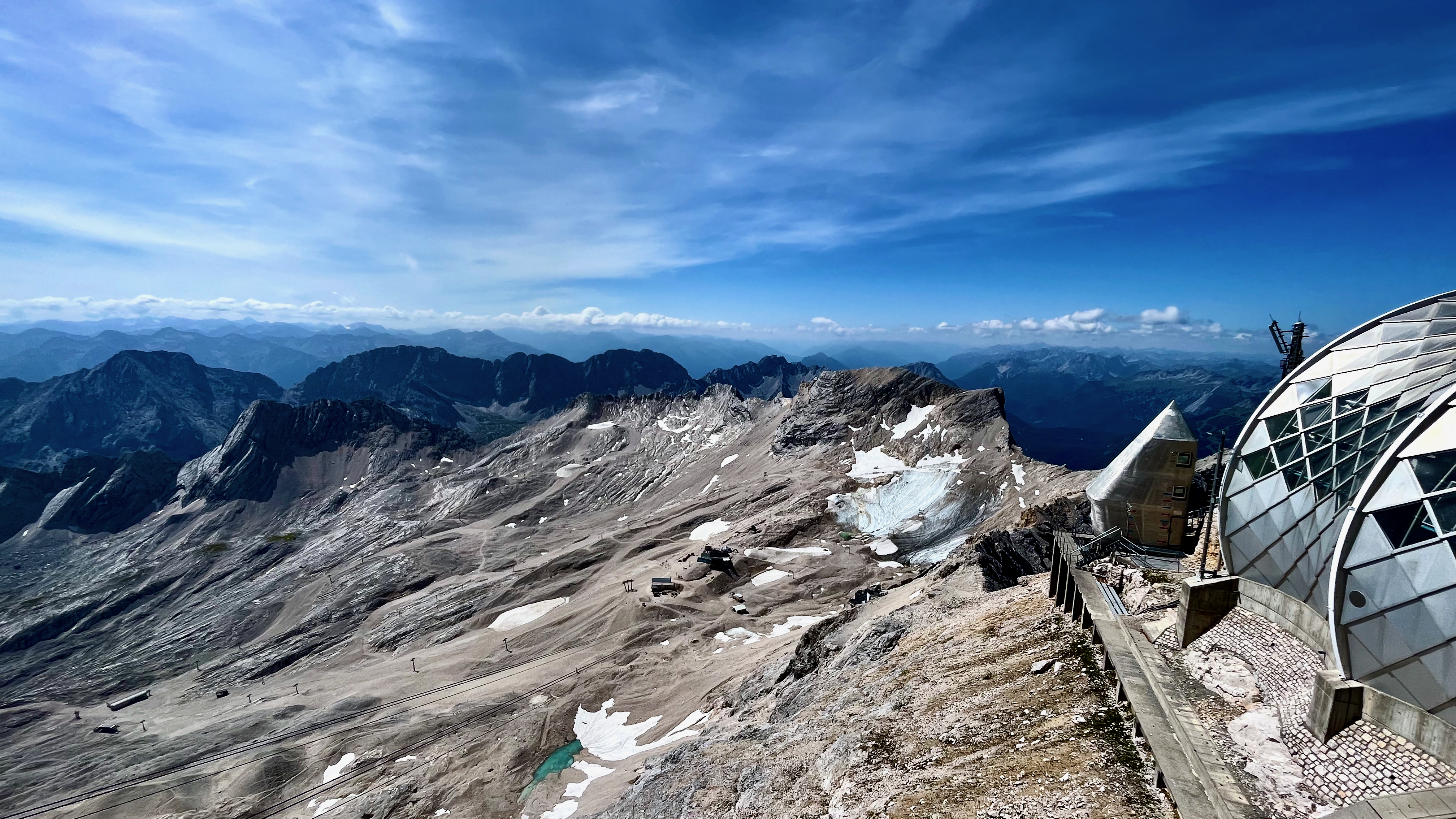
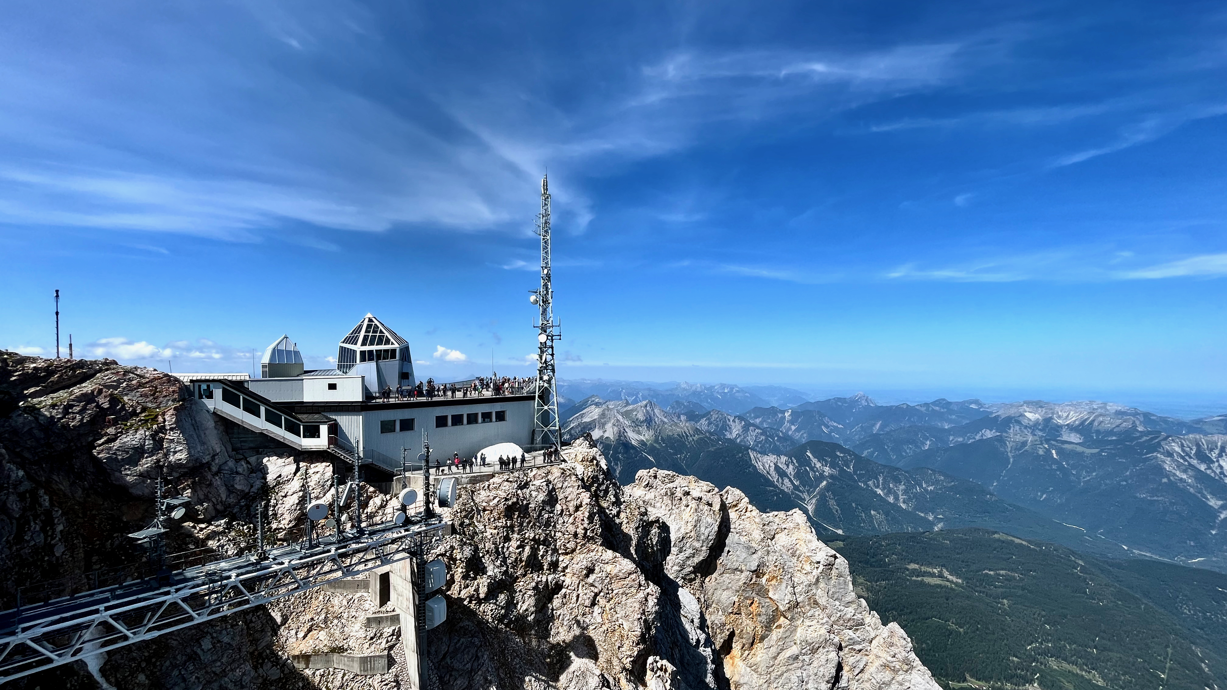
On the flanks of the Zugspitze are two glaciers, the largest in Germany: the Northern Schneeferner with an area of 30.7 hectares and Höllentalferner with an area of 24.7 hectares.
Wanting to beat the rush — as much as possible — I caught the first cable car up in the morning from the Germany side. And immediately headed up to the former “glacier“.
Once 1.5km thick, it may be gone entirely by 2035.
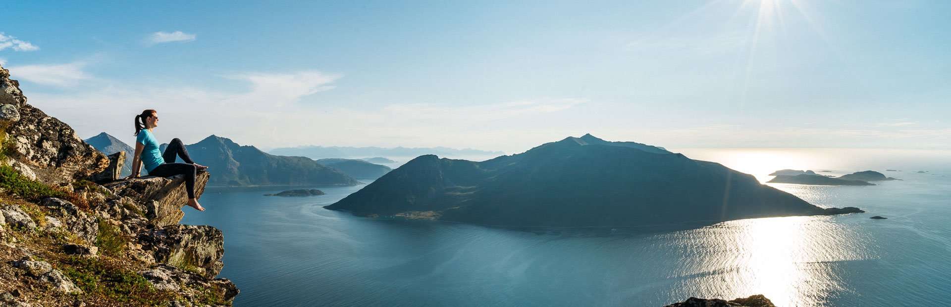
The 1-hour drive (from downtown Tromso) out to where the Brosmetind walking path starts is fantastic too.
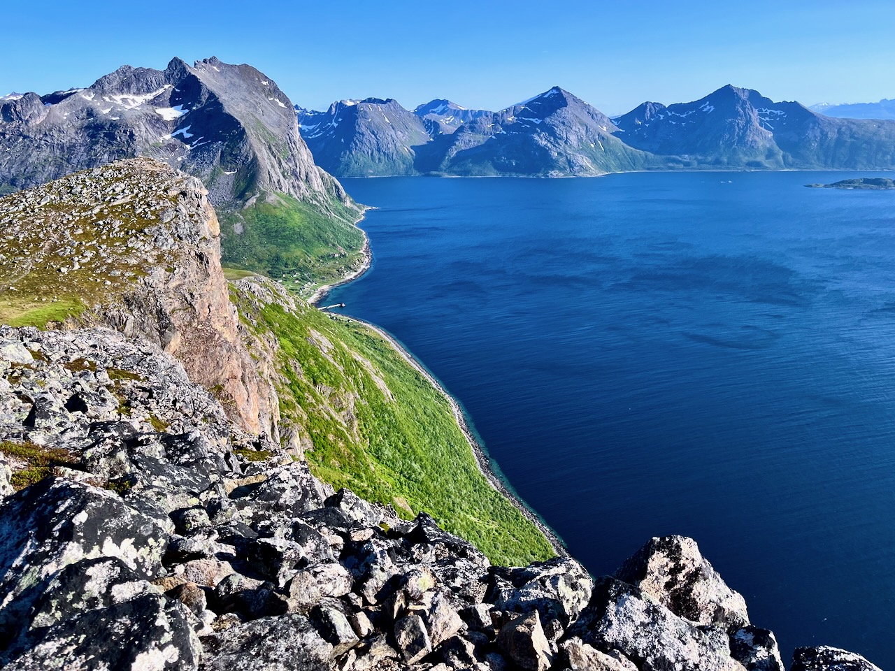
… valleys with tall peaky mountains that go straight into the sea.
One of these fjords is Grotfjord. You should make a stop in Grotfjord and walk along the huge white-sandy beach.
You will have an awesome panoramic view from the start to finish. So if you don’t have to go all the way to the top to get a great view. You can turn around whenever you want …
Height: 525 meters above sea level
Distance to walk: 4 km both ways
Time: 1-2 hours (round-trip)
How to get there by bus: Take the district bus no. 425 to Tromvik or Rekvik, and walk from there to the starting point of the hiking path to Brosmetinden. Tell the driver that you want to hike Brosmetinden and he will let you off at the right place.
You can purchase tickets on board the bus, but cash payments only, or you can buy a ticket through the app “Troms Billett”. You can check the bus schedule HERE (search the Travel Planner from “Tromsø Prostneset” to “Rekvikvegen (Tromsø)” or through the app “Troms Reise”.
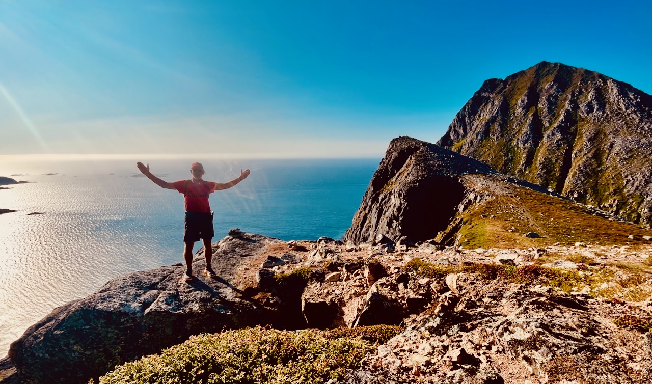
I hiked on Canada Day – July 1st. Wore my CANADA clothing. 🇨🇦
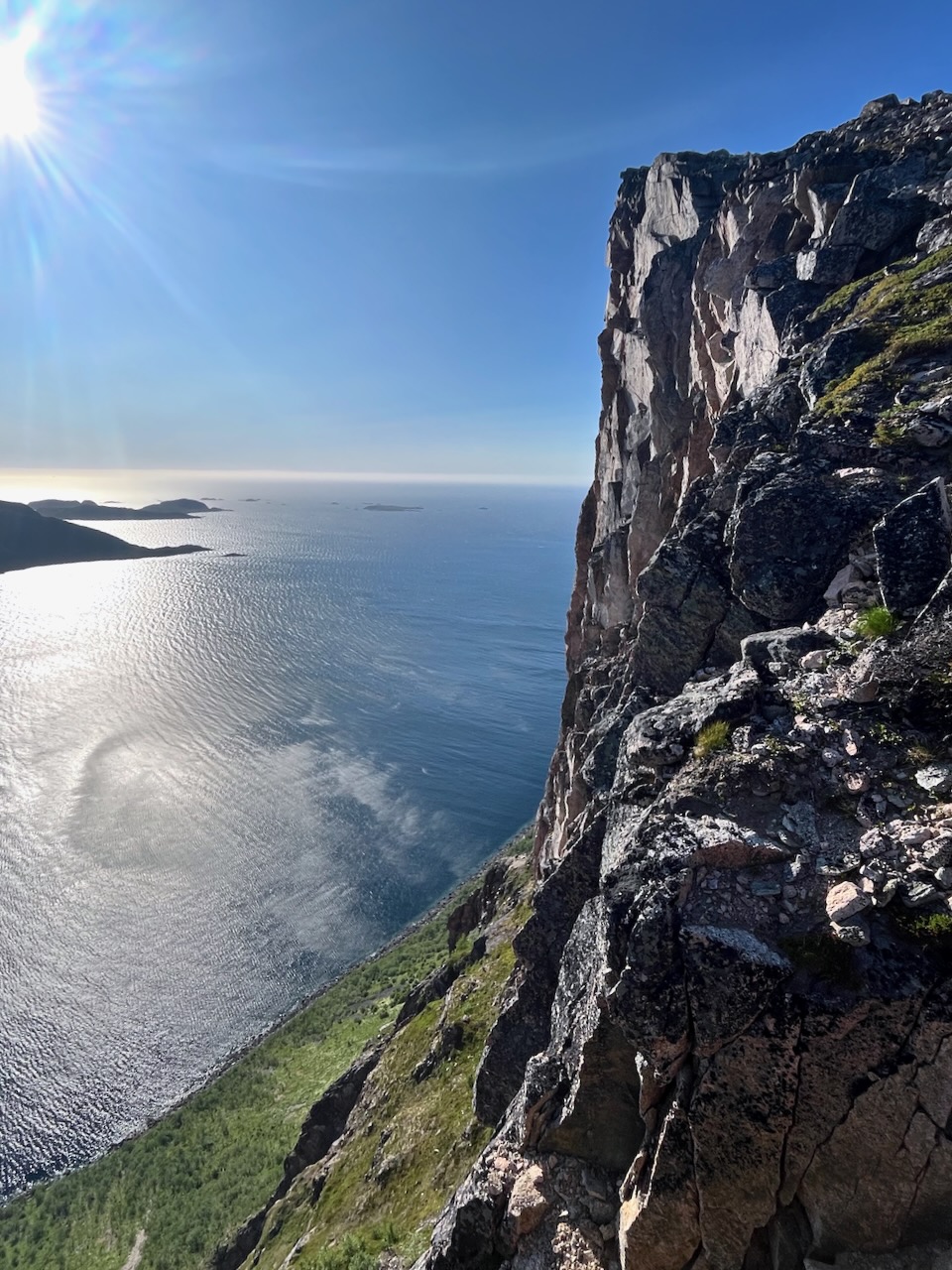
Weather was sunny — but super windy. Too windy to fly the drone. But it was nice to have enough wind to blow away the mosquitoes and horseflies.
It’s a quick hike to reach the sea cliffs. And a scenic scramble up to the top.
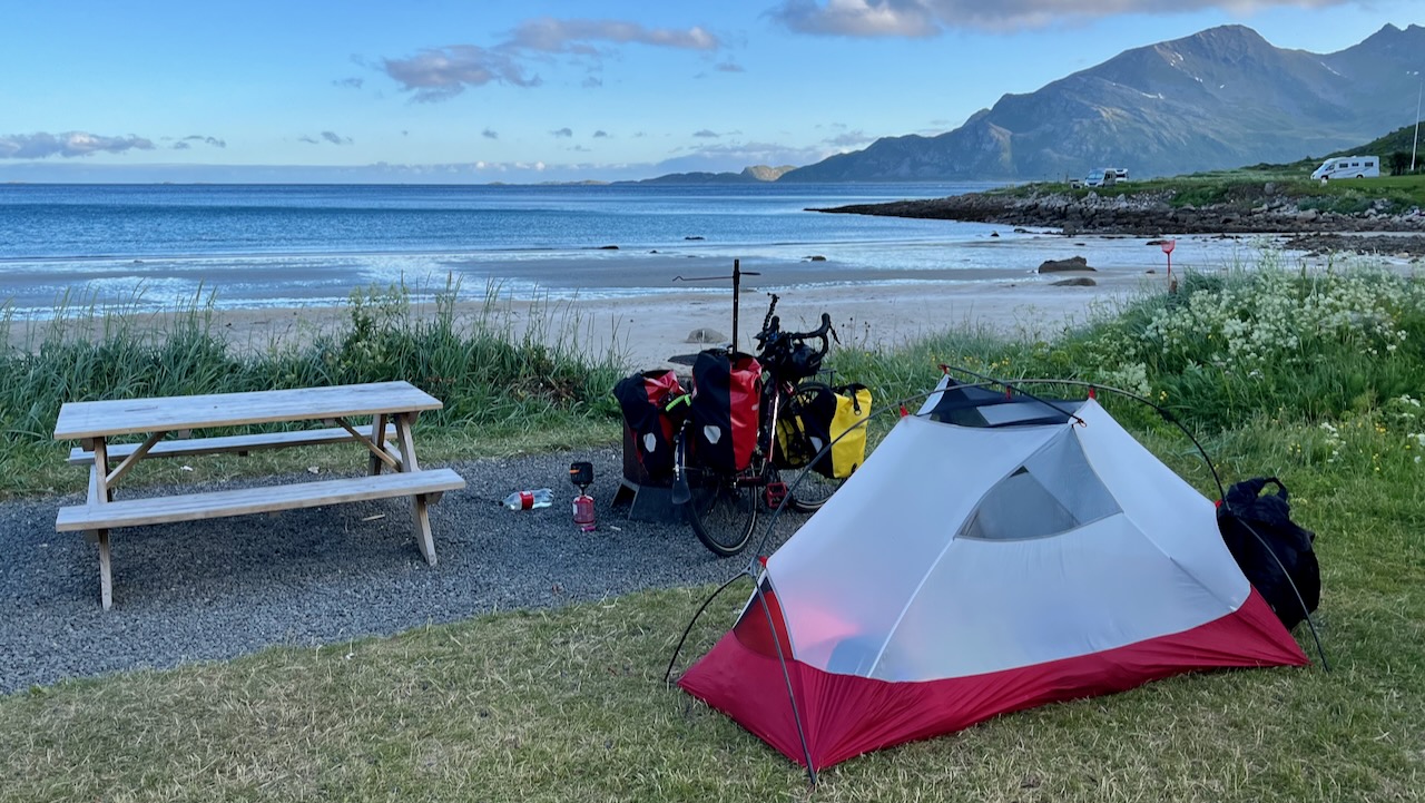
I camped at Grotfjord beach, on Maria’s recommendation.
An excellent short day hike — but quite a detour off the usual tourist route.
I stayed at the excellent and inexpensiveGrindewald hostel. It’s a fair walk uphill from town. But you can take the hourly bus for free.
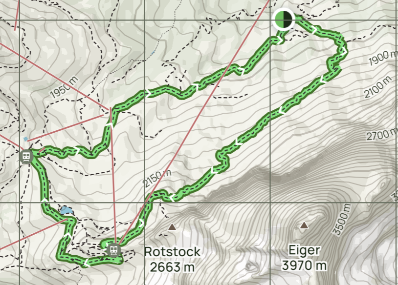
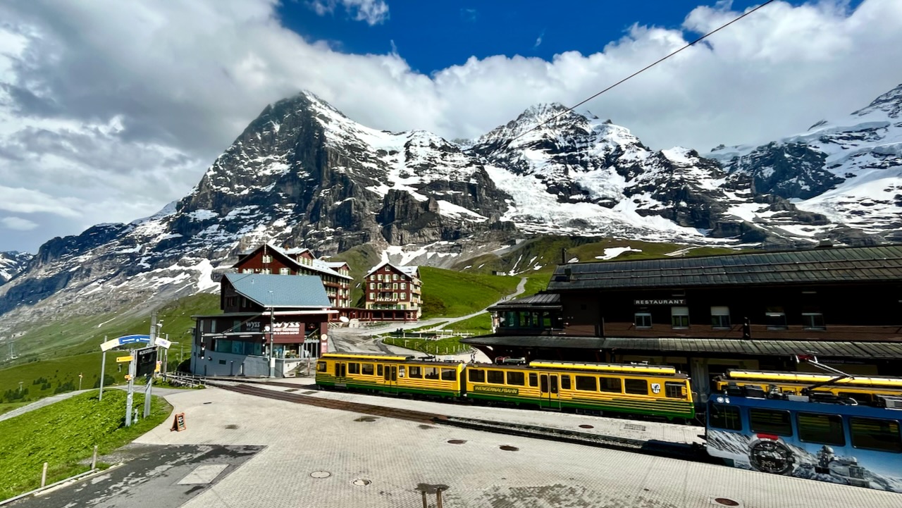
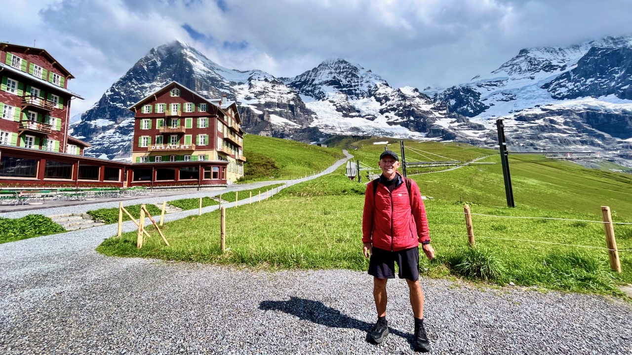
Of many excellent day hike options, I decided on the Eiger Trail starting in Alpiglen, climbing 800m. Lazy this time, I took the expensive Jungfrau Railway up to Alpiglen. (A woman I’d spoken with had hiked it to and from Grindewald the day before — MUCH tougher.)
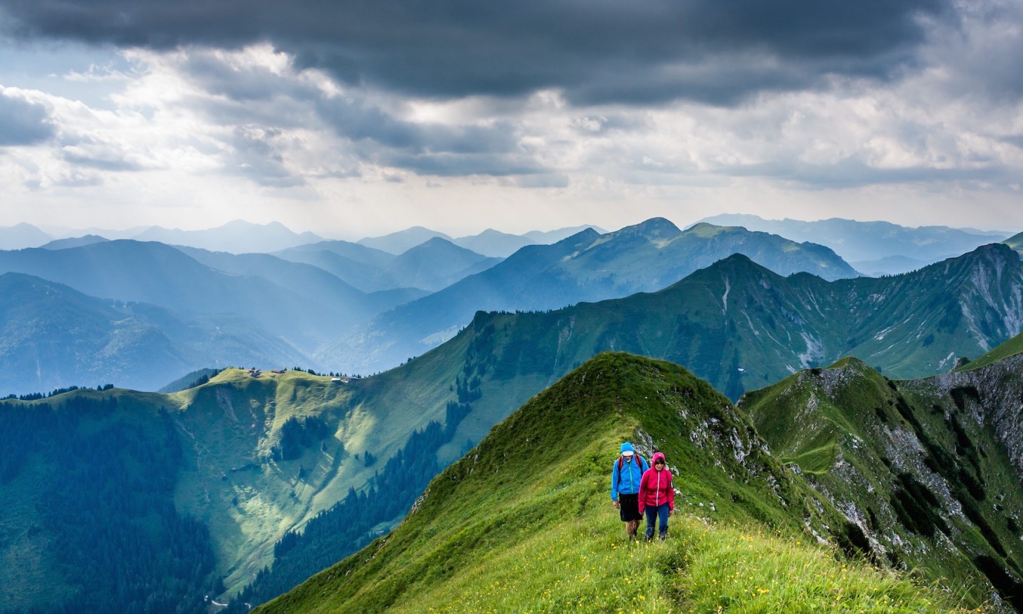
My route was only a 12.9-km loop — but it might take 5 hours as you stop so often for the fantastic vistas both UP and DOWN.
Unfortunately, the typical afternoon rainstorm broke just before I sprinted into Kleine Scheidegg near the top.
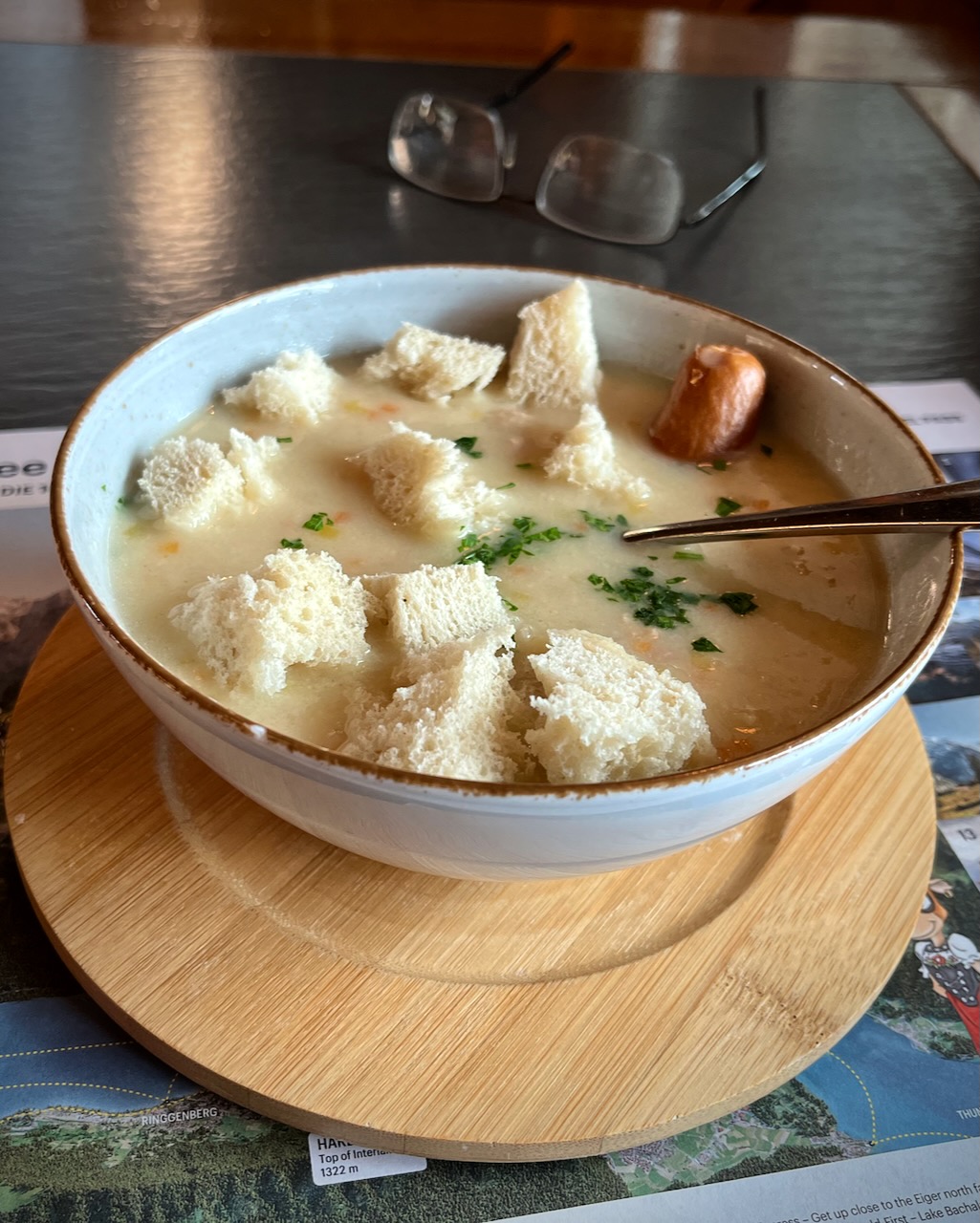
I ended up buying an expensive train ticket back down to Grindewald. And enjoying Swiss soup at Kleine Scheidegg while I waited out of the rain.
Weirdly, the weather broke right after soup. I could have easily hiked down — but could not get a refund on the train ticket as it came out of a machine.
I do feel the Eiger Trail is the best hike out of Grindewald.