Skรณgafoss Waterfall Way, Iceland

Trip report by BestHike editor Rick McCharles

I’ve seen most of the famous waterfalls of the world โ€” and cannot recall a better series of falls anywhere.

Skรณgafoss is massive. Powerful.

width 25 metres (82 feet) and drop of 60 m (200 ft).

The Skรณgafoss Waterfall hike (also called the Skรณgรก Trail or Waterfall Way) is one of Icelandโ€™s most spectacular easy walks. Perhaps 25 waterfalls and spectacular canyons.

Click PLAY or watch it on YouTube.

This trail starts at massive Skรณgafoss and follows the Skรณgรก River upstream for 8 km (5 miles). If you reach the bridge, I’d say you’ve gone too far. ๐Ÿ˜€

In fact, hike as far as you want. Turn back when you like.

Elevation Gain: 500 meters

I waited about 5 days for a good weather window โ€” and it was worth it. I even had some sunshine.

I hiked the waterfalls up and down twice over 3 days. Going early morning and late evening to minimize the number of other hikers on the trail.

The trailhead is at Skรณgar on the Ring Road (highway 1). There is a campground and hotels. Book well in advance.

Earth Trekkers posted an excellent trip report.


Skรณgafoss is also the start / finish of the challenging Fimmvรถrรฐuhรกls trail which ends at Thรณrsmรถrk. In good weather you can do the entire 22 kilometres (14 mi), 1,000 metres (3,300 ft) of climbing in a long day. It crosses a glacier between two recently active volcanoes โ€” which you can also climb.

Of course Thรณrsmรถrk is the start / finish of the most famous hike in Iceland, the Laugavegur. If you have 4-6 days, the BEST hike is Landmannalaugar to Skรณgar. It includes the The Skรณgafoss Waterfall Way, connecting Fimmvรถrรฐuhรกls and Laugavegur.

I did the Laugevagur Trail as a YOYO in 2023.

related:

Hiking Iceland’s Plane Wreck

Trip report by BestHike editor Rick McCharles

Increasingly popular is hiking out to see the 1973 US Navy C-117D Sรณlheimasandur Crash.

You might have seen it in Justin Bieber’s 2015 music videoย I’ll Show You.

  • ย 7.4-km out-and-backย hike from the parking lot on the southern Highway 1 Ring Road
  • in high season you can pay to take a shuttle to and from the parking lot
  • close to Vik and Skรณgafoss, two of the most popular tourist attractions
  • flat black sand
  • many tourists on a nice day in high season

I found the wreck fairly interesting โ€”ย but enjoyed more continuing to the big black sand beach on the ocean. I had that to myself.

Click PLAY or watch it on YouTube.

The flight encountered severe icing and the crew were forced to land on a frozen river at Sรณlheimasandur.

All 7 crew members survived and were rescued by helicopter, but the aircraft was written off. The unsalvaged remains of the aircraft were left at the scene.


In January 2020, two Chinese tourists died of hypothermia near the wreckage after getting caught in a storm that went over the area.

A month later,ย SARย units had to rescue several tourists that had ignored a warning from the police to not trek to the wreckage due to deteriorating weather in the area.

AllTrails.

Hiking to Leynar, Faroe Islands

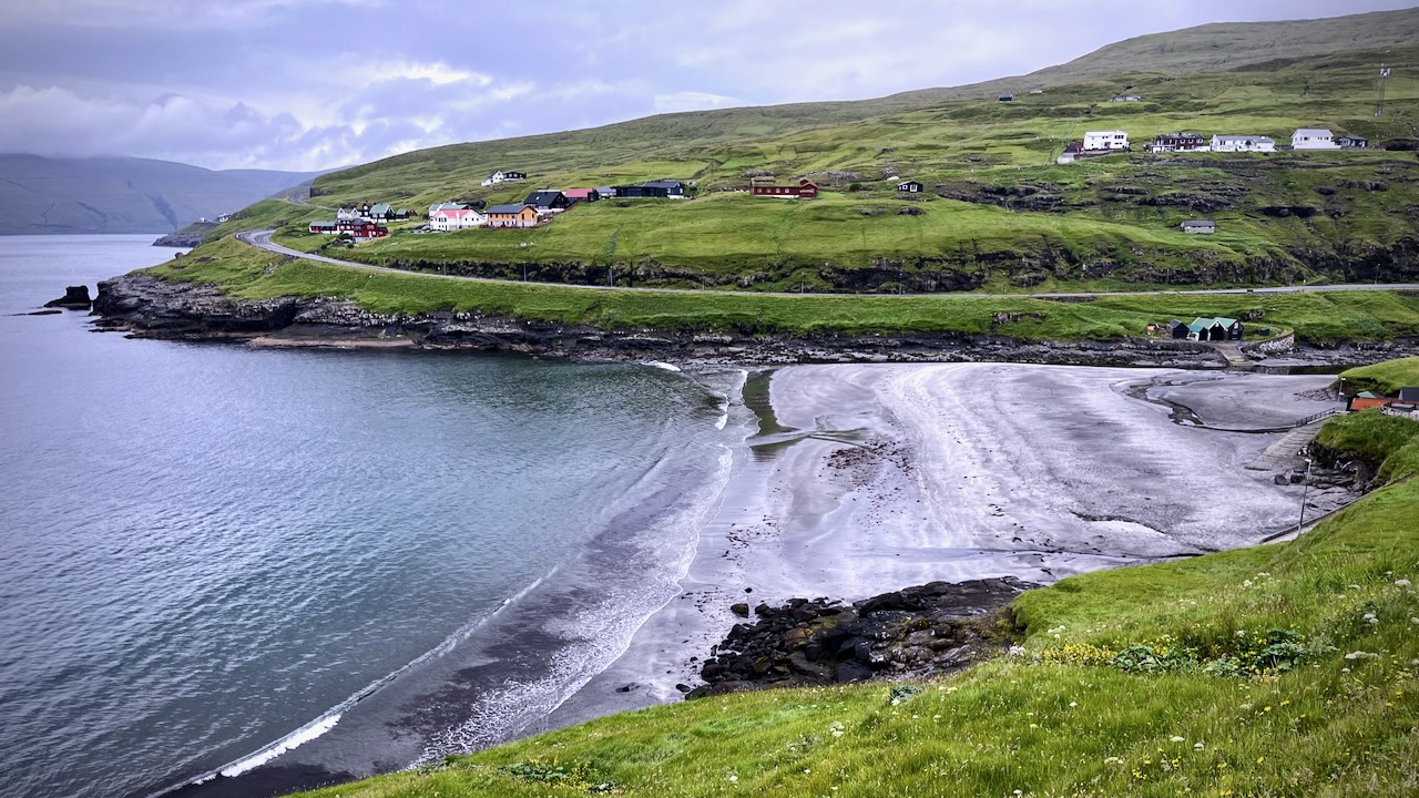
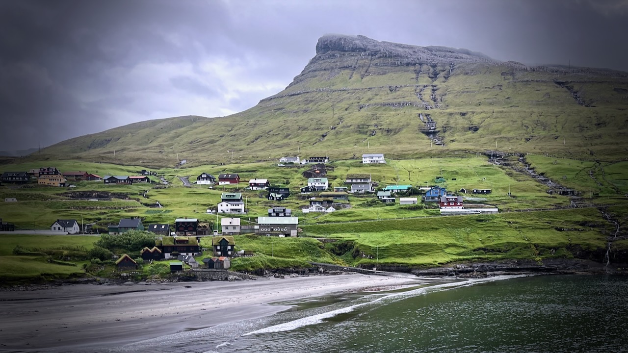
Leynarย (Danish:ย Lejnum) is just another scenic coast village in theย Faroe Islands. Population 116.

Click PLAY or get a glimpse of the hike on YouTube.

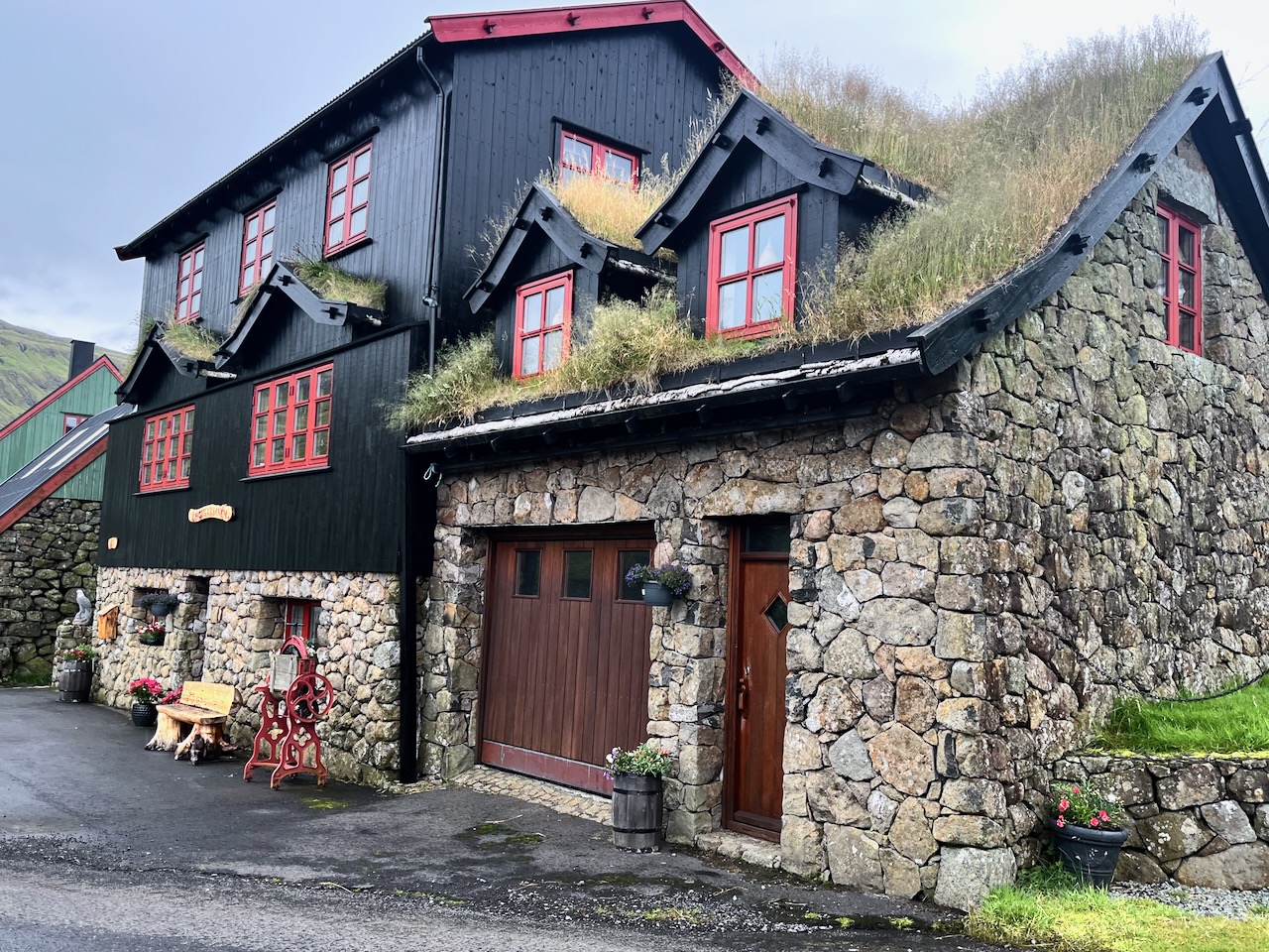
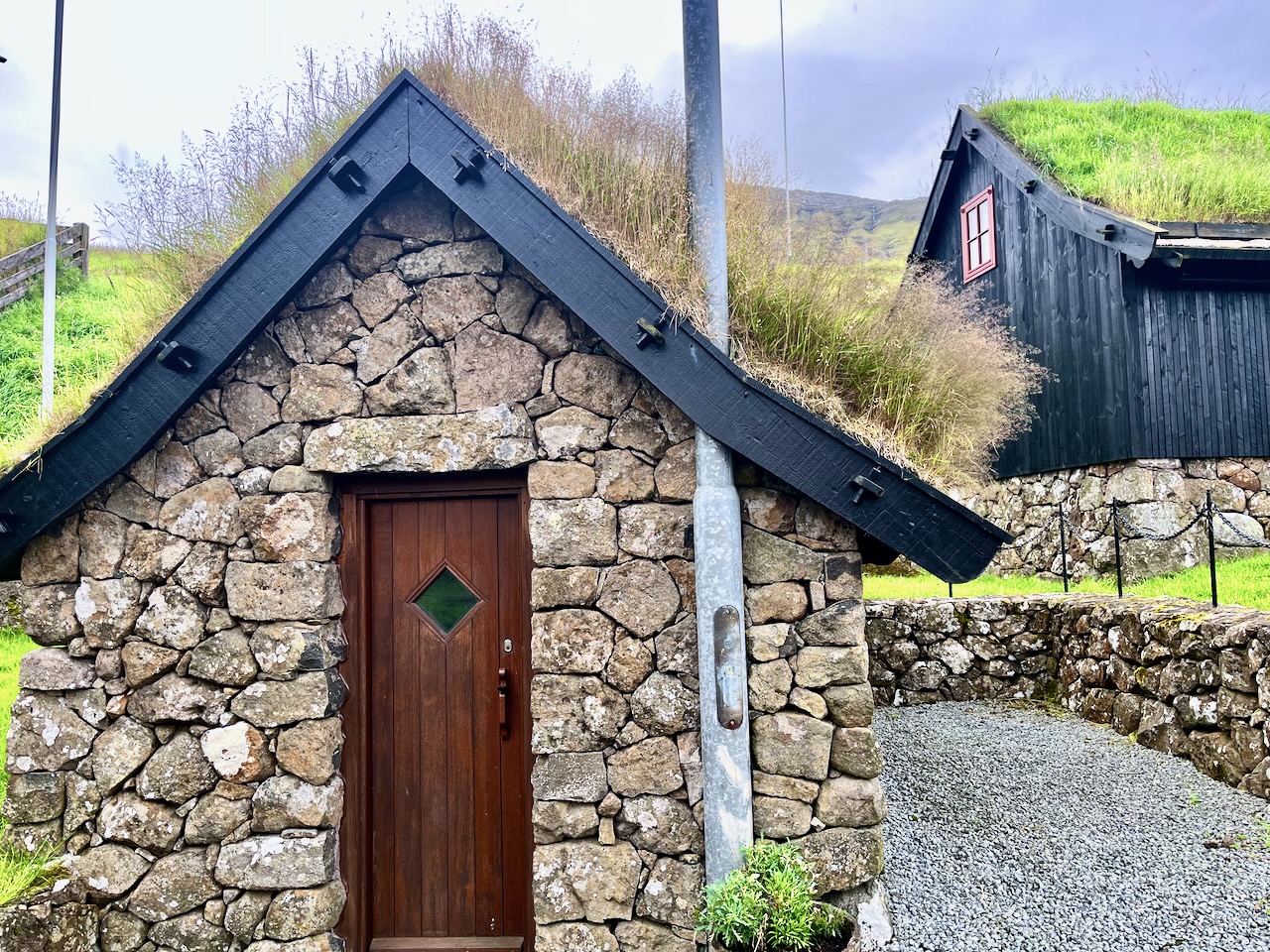
This was amongst the prettiest houses I saw on the islands.

I’d heard about a popular route for locals, crossing a mountain pass and finishing in Leynar. It’s not on any tourist guidebook I’ve seen, including AllTrails.

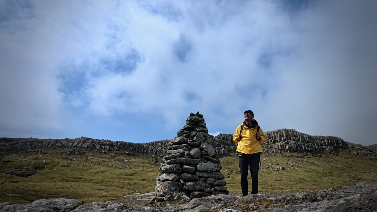
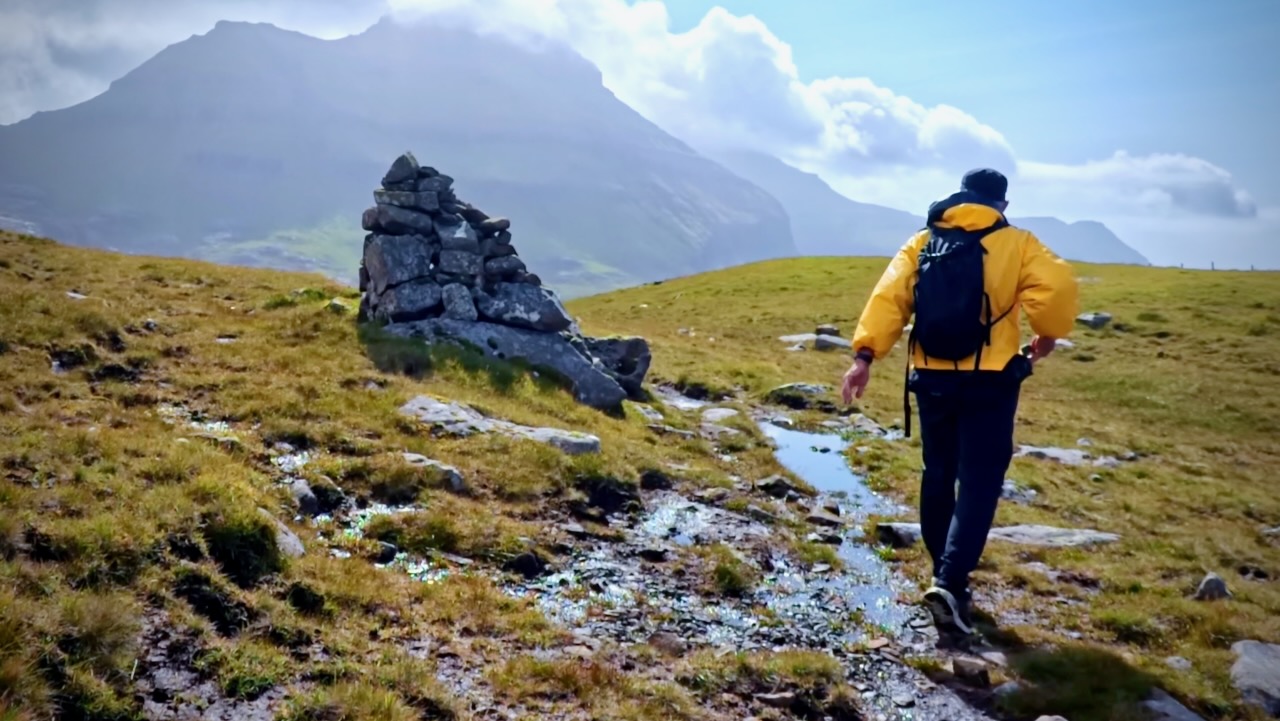
It’s not signed. Finding the trailhead on highway 50 was tricky. Look for a large stone cairn. It is somewhat marked on the Maps.me app.

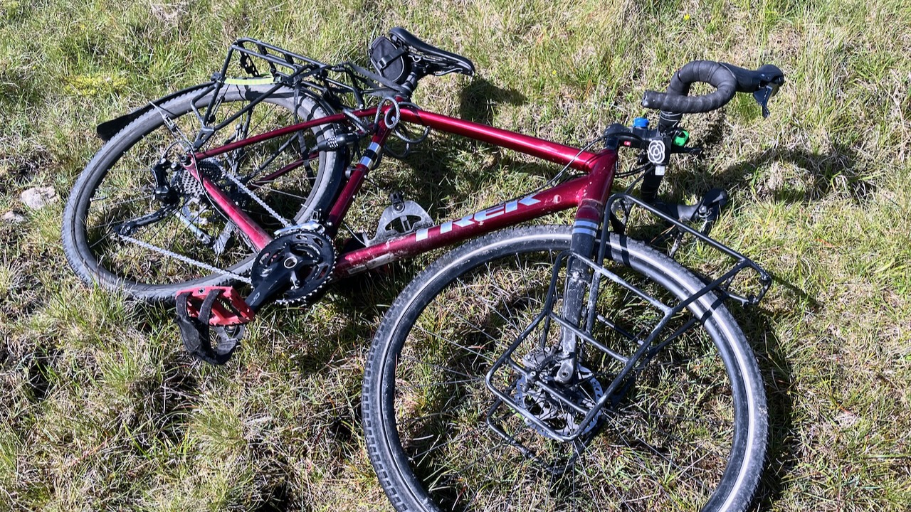
I left my bike in a depression and followed the cairns.

I had great weather and totally enjoyed a few hours on this wet trail.

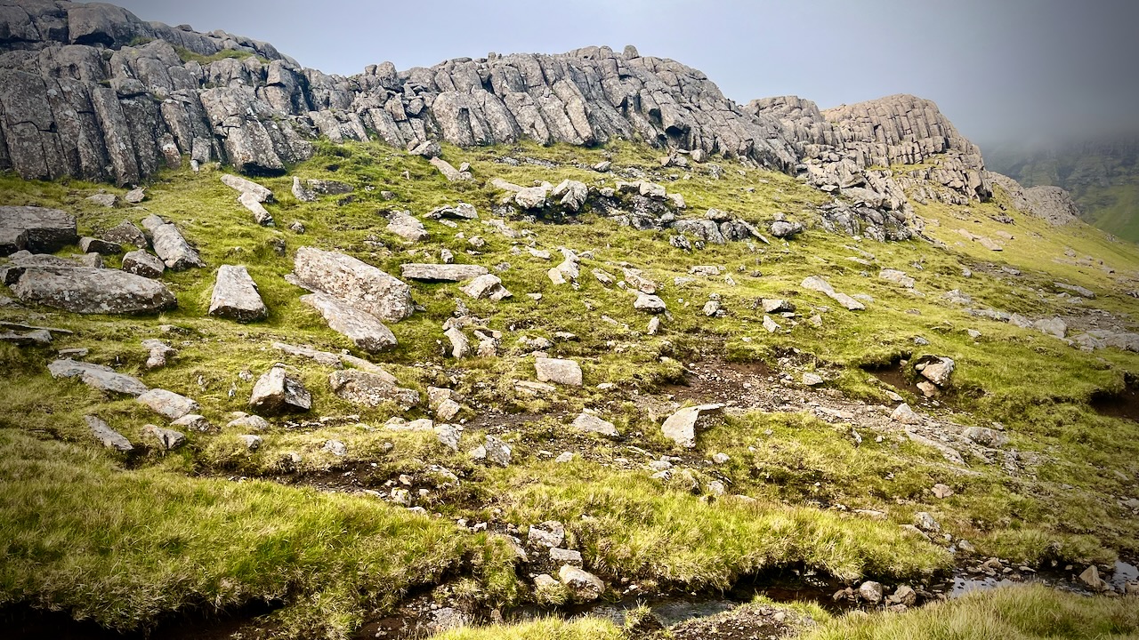
I saw only 3 other hikes on a beautiful day, all Faroese. They’d come to see the basalt columns.

It’s marshy. Waterproof socks recommended.

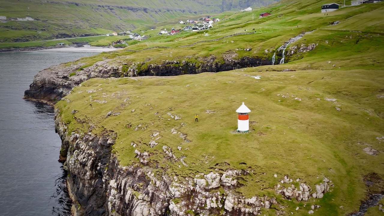
You know you are close when you see this light station.

Leynar has a large black beach.

Here’s the view of the town you see from the highway.

Hike the Arctic Circle Trail, Greenland

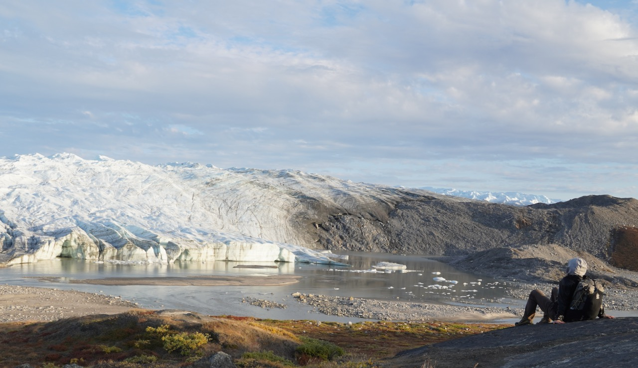
Cam Honan hiked one of the world’s most remote hikes solo late summer of 2022.

At a Glance

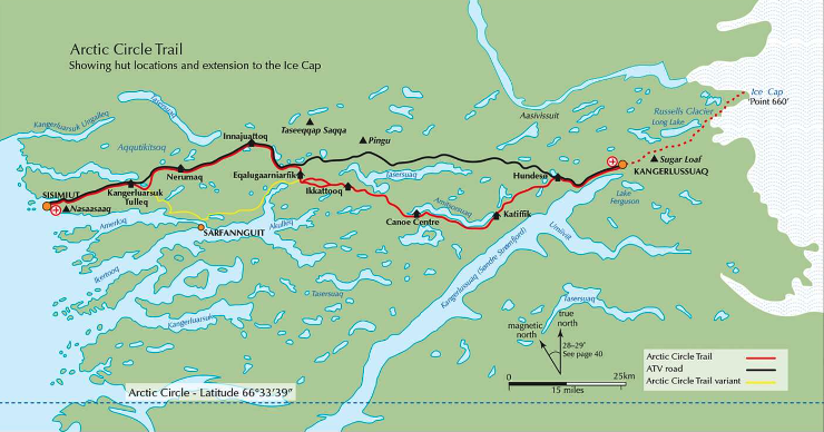
Distance:  200 km (124 mi) โ€“ Including the 35 km/21.7 mi โ€œIcecapโ€ Extension (See Prologue)

Average Duration:ย  10 daysย (Cam took 6 days)

Difficulty Level:  Moderate

Start:  Kangerlussuaq or Point 660 (i.e., The edge of the Greenland Ice Sheet).

Finish:  Sisimiut

Total Elevation Gain & Loss:  2,349 m (7,707 ft)

If everything goes right, the difficulty is moderate.

But you’d be out in the middle of nowhere if getting sick or injured. Prepare carefully if you have any interest in doing the best hike in Greenland.

The Hiking Life:

A Quick & Dirty Guide to the Arctic Circle Trail


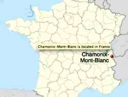
TOP 10 Hiking Towns โž™ Chamonix, France

One of our Top 10 Hiking Towns in the World.


photo – ptpotts

Chamonix-Mont-Blanc or, more commonly, Chamonix … was the site of the 1924 Winter Olympics. The commune’s population … around 9800 …

… Mont Blanc, at a height of 4810 metres, is the third most visited natural site in the world …

… well known and loved by skiers and by mountain enthusiasts of all types. …

Chamonix is located 80 km southeast of Geneva, Switzerland …

Chamonix Place Balmat

More interesting photos tagged Chamonix.

You can hike out of town in any direction. And be blown away by wonderful mountain vistas. Here I am just above town on a trail run.

fit hiker in the Alps

The most famous “best hikes” in the region are:

โ€ข Chamonix to Zermatt – Walkers’ Haute Route <my trip report> (top 10)
โ€ข Tour of Mont Blanc (TMB – top 10)

More best hikes in the Alps.

Best time to hike is late June to early October.

Winter Hiking can be MAGICAL โ…โ…โ…

For the past 4 years I’ve made the pilgrimage to Banff, Alberta in the Spring.

I alternate one day of downhill skiing โ€”ย with one day of winter hiking.

Weather-wise, you have to be ready for anything. Carry Yaktrax.

Click PLAY or watch it on YouTube.

related – Winter walking in Rathtrevor Park, Vancouver Island (VIDEO)

Trek Cerro Castillo, Patagonia

Cerro Castillo is definitely one of the top hikes in Patagonia.

Access is comparatively easy, as well, via picturesque highway โ€” the Carretera Austral.

Jumping off point the city ofย Coihaique, Chile.

Normal route isย 62kmย (38.5mi) plus sidetrips.

Check our Cerro Castillo information page.

Click PLAY or watch it on YouTube.

Great Hiking in Patagonia

January is peak season for Patagonia.

I wish I was on any of these adventures right now โ€”ย rather than being stuck in Canada.โ€‚๐Ÿ˜€

  • O Circuit, Torres del Paineย 
  • Fitz Roy, El Chaltรฉn
  • Cerro Torre, El Chaltรฉn
  • Huemul Route, El Chaltรฉn
  • Villa Oโ€™Higgins, Chile, to El Chaltรฉn, Argentina
  • Cerro Castillo, Chile
  • Tronador, Bariloche

That list is from Backpacker magazine.โ€‚(Outdoor+ subscription required.)

El Calafateย /ย Elย Chaltรฉnย Argentina is one of our top 10 hiking towns in the world.

Of that list, I’d say the Huemul Route is least well know.โ€‚

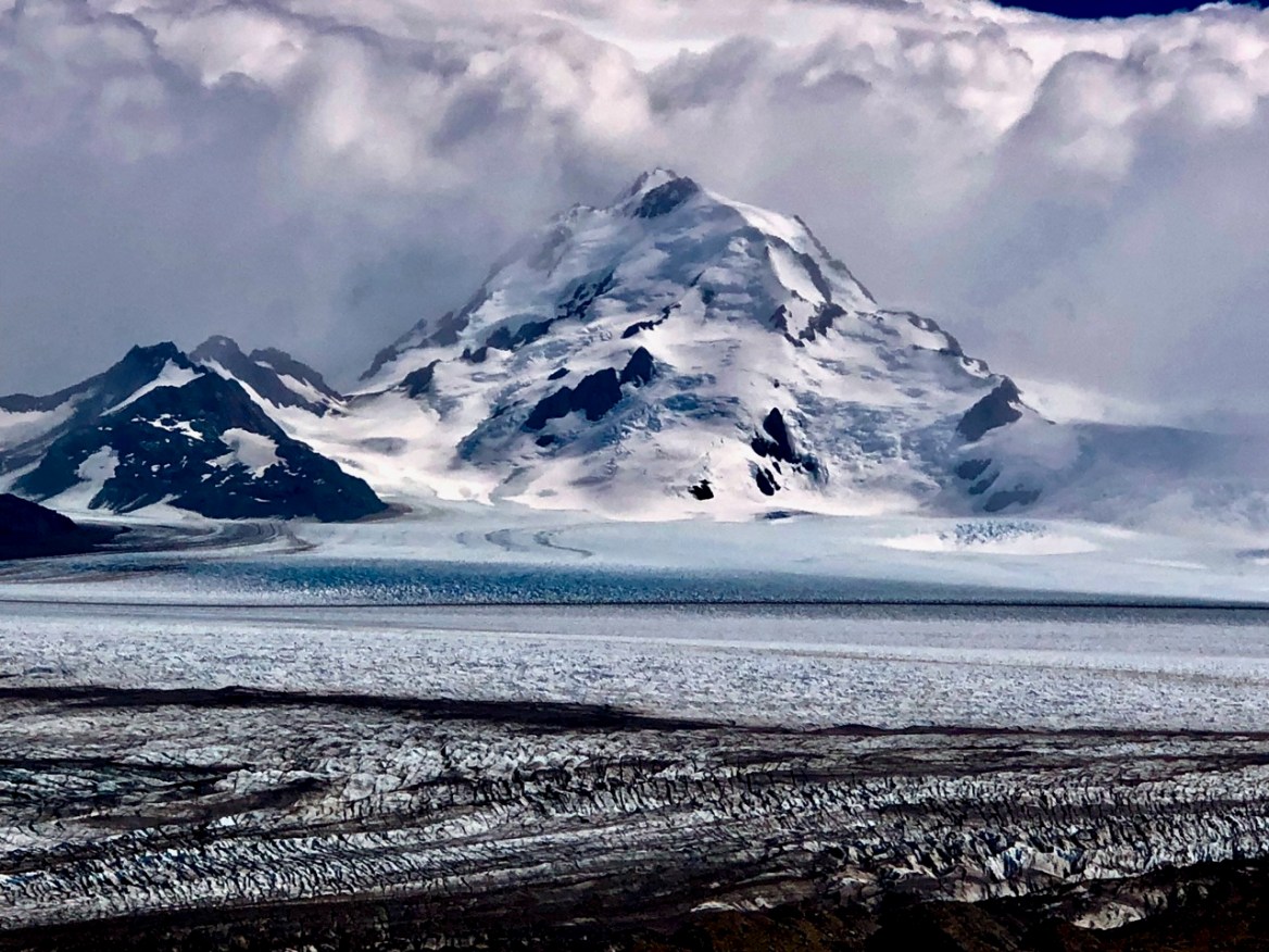
vista from โ€˜Windy Passโ€™ on the Huemul Route

It’s SUMMER in Patagonia โ˜€๏ธ

November in frozen Canada makes me start dreaming of another hiking trip to Patagonia.

Best hike?

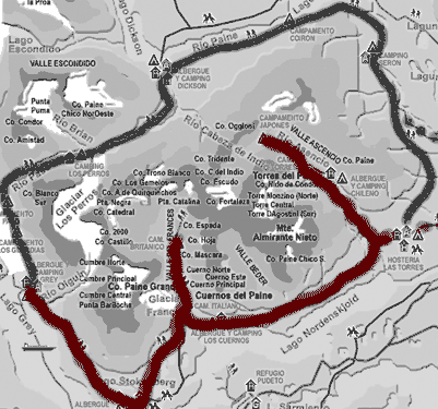
One of the best for sure is the Paine Circuit in Chile.

Some call it the “O” trek as contrasted with the shorter “W” trail.

w_sm

When to Go

The best โ€” and only โ€” time to complete the O Circuit is in the Chilean summer, from late November to mid-March. …

The O Trek is a 7-night route that covers roughly 80 miles with roughly 13,000 feet of elevation gain.ย …

Accommodations and Food

At every stop along the O Trek there are โ€œrefugiosโ€ โ€” think mountain huts and small ski lodges with bathrooms and small markets attached. Each site has a base price for folks who plan to set up their own tent and cook their own meals. Enclosed cooking huts are provided.

From there, hikers can upgrade and rent pre-erected tents, domes, hostel beds, and more depending on each site.ย Sleeping bagsย can also be rented at refugio sites. …

Booking & Cost

Our total booking cost was $507 for two people and 7 nights of camping.

This cost did not include groceries and food, our park pass, or travel to, or accommodations in, Puerto Natales.

Booking in advance is highly recommended, especially if you want to camp.

Booking last minute is possible, but there may only be expensive lodging options (like a hostel bed) left. …

Guide to the โ€˜O Trekโ€™ in Los Torres National Park

Grey Pass

Check our Paine Circuit information page.

I’m BOOKED โž™ Faroe Islands, Summer 2024

by BestHike editor Rick McCharles

Postponed in 2023 … this time I made my reservations 10 months in advance to get the ferries I wanted. And inexpensive accommodation.

I can cancel accommodation at no cost.

If I eventually have to cancel the ferries, I’ll pay 10% of the โ‚ฌ 337 total cost for me, my bike, and a bunkbed on the ship.

The Faroe Islands are expensive and in high demand, high season. Far less so if you book long ahead of time.

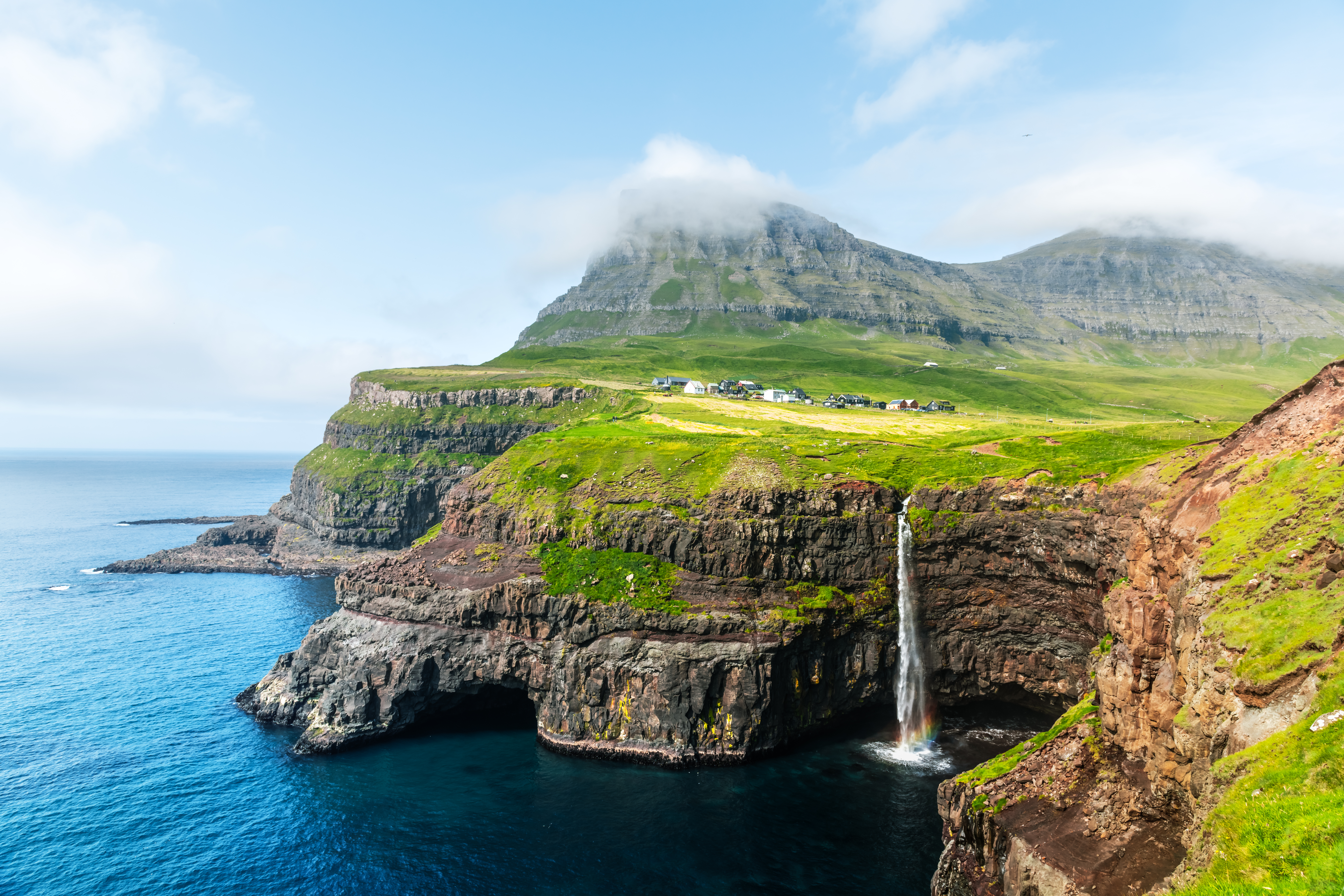
Mulafossur waterfall in Gasadalur

July 27th – depart Hirtshals (Denmark) on the Smyril ferry

July 28th – arrive Tรณrshavn (Faroe Islands)

Aug 7th – depart Tรณrshavn

Aug 8th – arrive Seyรฐisfjรถrรฐur (Iceland) at 8:30am

That gives me 9 full days for cycling and hiking. Weather is a factor, of course. Faroe Islands are just south of the Arctic Circle.

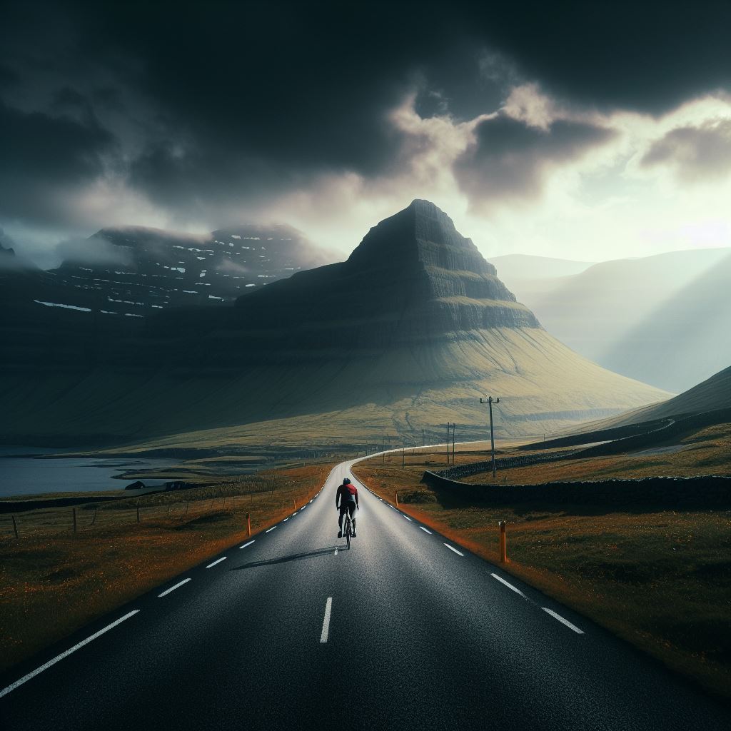
Cycling Faroe Islandsย –ย Generated with AIย โˆ™Dall-E 3

The more days, the more opportunity for clear skies. ๐Ÿ˜€

I booked during the Olympics.

IF it rains ๐Ÿ˜€, I’ll instead be following the action in Paris online. Indoors.