Nice setup. But the cost was $25 / site for up to 4 people. I prefer the pricing model $10 / person.
So I turned my bike around and wild camped nearby.
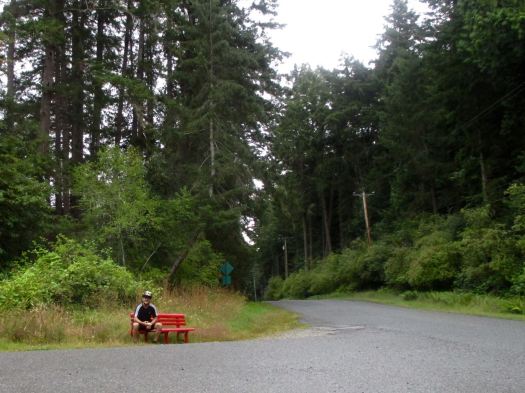
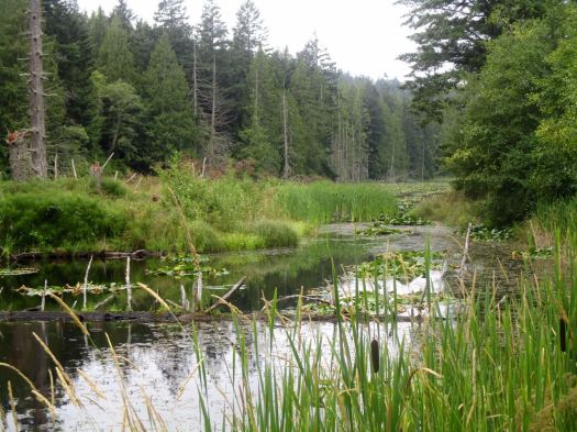
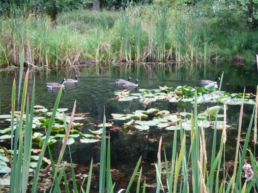
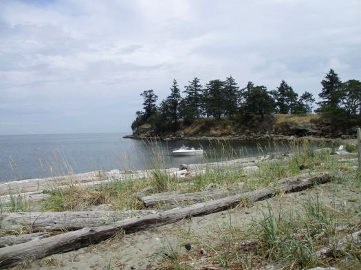
In the morning I packed up early and rode back to the campground to make coffee. There’s a good hike there called the Gray Peninsula Trail. About 2km.
I cycled on to the Pebble Beach hike trailhead. Breakfast was cold pizza on this bench.
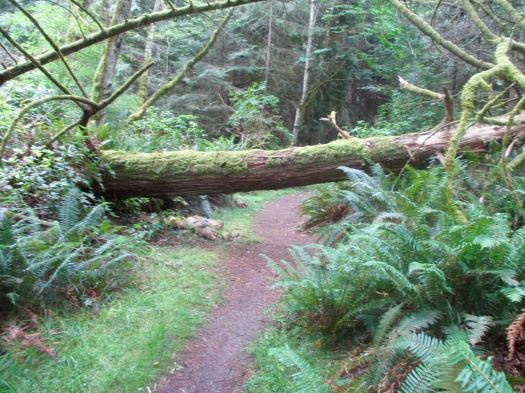
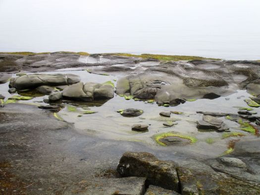
You reach the coast at Cable Bay. Then saunter over to Pebble Beach.
On a trail map it looked like I could cycle a mountain bike trail to Laughlin lake, the largest body of water on Galiano. That’s a bit risky on a hybrid bike. Happily, it worked.
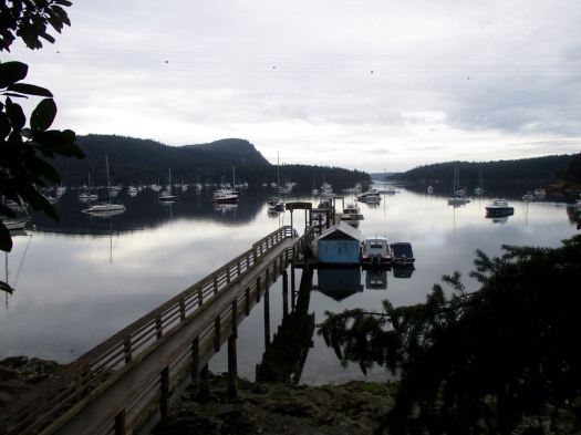
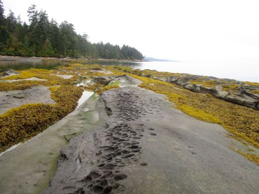
Four guys in this boat arrived for a picnic. Boat and kayak are the best ways to get to Dionisio.
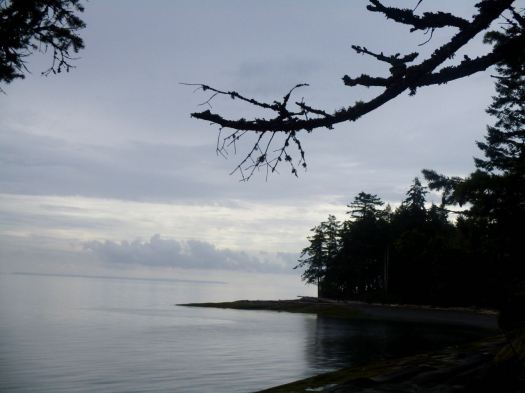
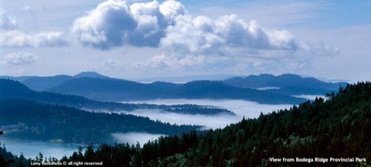
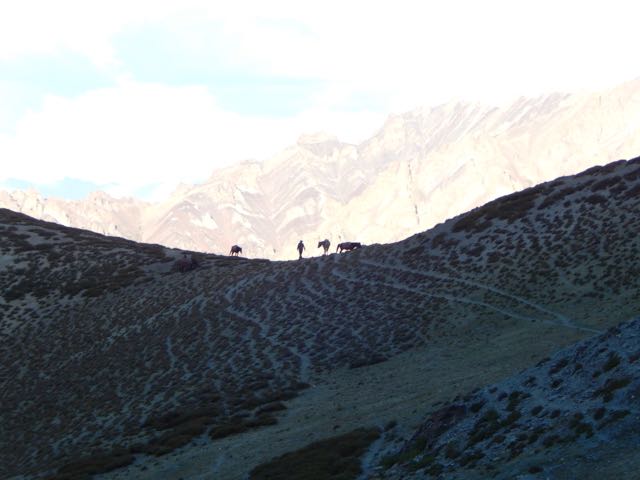
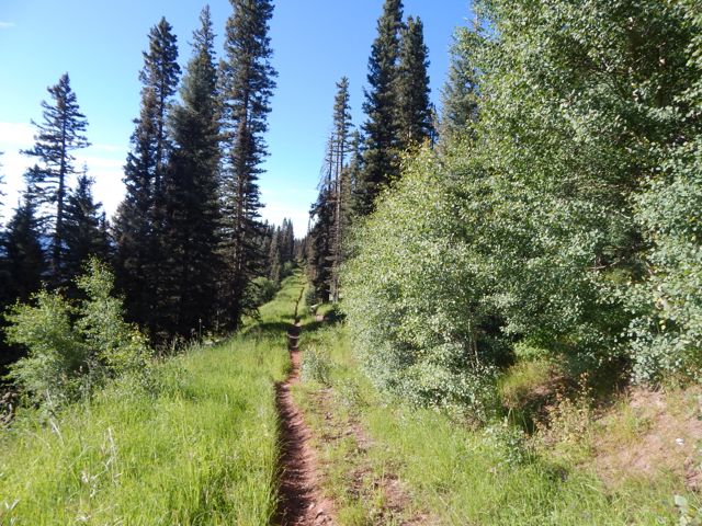
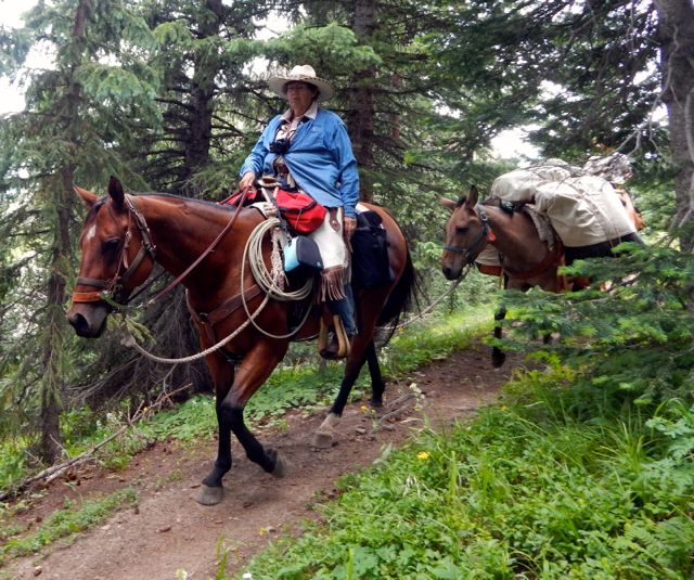
I returned via the dead end Bodega Beach Drive seeing only 2 vehicles in 3 hours. An ideal place to cycle.
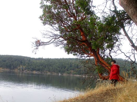
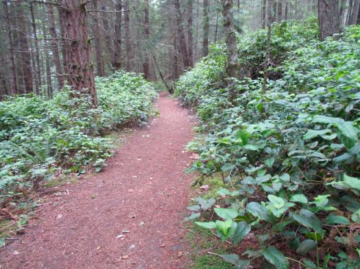
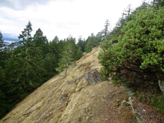
The best hike on the island was yet to come – Bodega Ridge.
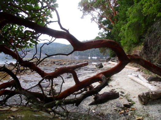
Bodega started much like any other hike, a welcoming soft temperate rain forest trail.
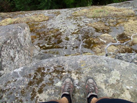
The fun starts when you get up on the ridge. A steep drop with marvellous views.
Galiano was a hard day for me. I could barely keep my eyes open on the ferry to Pender.
I’d like to return one day. Kayak to camp at Dionisio. And climb Mt Galiano, the highest point on the island.
We debated whether or not to sidetrip to the Palguín hotsprings. Lonely Planet claimed it was 3.5km by road one way. That would mean 7km total IF we couldn’t find a ride with a vehicle.
The walk was actually about 8km one way. AND the one hotspring we paid for was not particularly hot. I did enjoy the menu of the day, however.
A first for me – burnt sugar cubes.
Happily we were able to get a ride back from the hotsprings to the trail, paying a staff person a few dollars for the lift.
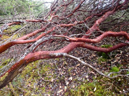
Our first hassle on this trip. Burrs. 😦 It’s difficult to avoid them at lower altitude.
In fact, the Traverse is two hikes separated by the road walk we took yesterday. Theres no real reason to walk them connected. The start of the second half is here.
It was a steep climb to get back up to the Traverse.
The Monkey Puzzles kept me moving.
We were steadily leaving Villarrica behind.
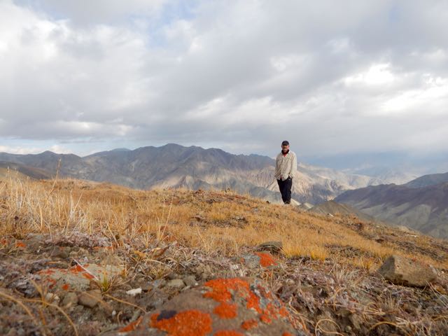
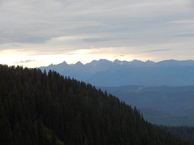
Here’s one of the highlights – Mirador los Volcanes. We could see at least 6 from one spot.
What you don’t see in the photos are hordes of horseflies (called tabanos here) even up at that high altitude in the wind. Later we learned that south central Chile doesn’t have many mosquitos, but they do have horseflies in January. I’ve never seen them so aggressive.
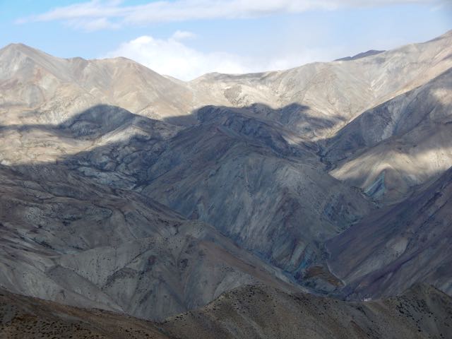
From the Mirador it’s a long, interesting ridge walk.
We walked quickly, swatting flies.
When we finally reached the Lonely Planet recommended camp all we could do was jump into our tents to hide out until dark. The flies were that bad.
“… Arguably the best hike in all of middle Chile, the full-day Sendero Enladrillado takes you to the top of a unique 2300m basaltic plateau with stunning views. …”
– Lonely Planet
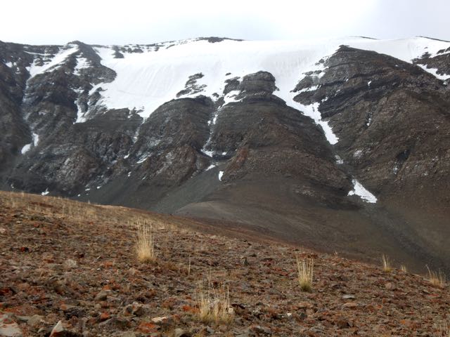
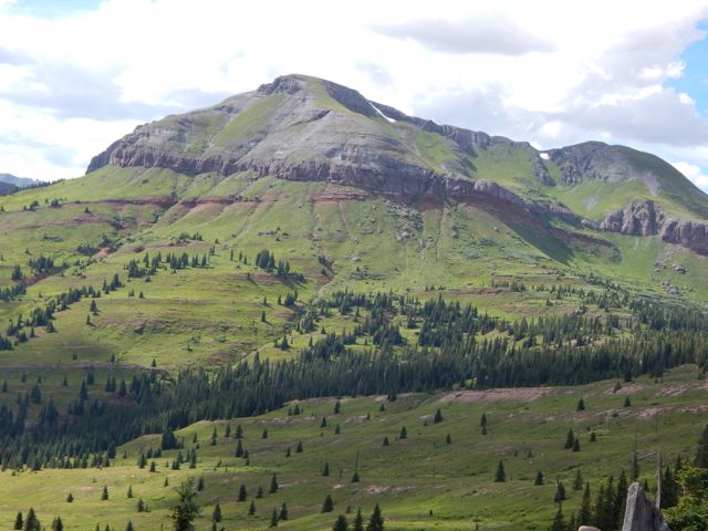
Descabezado volcano
How could I resist? 🙂
I reached Reserva Nacional Altos de Lircay from Talca bus station, 65km west of the Park. A sunny summer Friday afternoon, my Buses Vilches contraption headed to the mountains was packed. I was lucky to get a seat, one of the few perks of having grey hair.
From where the bus drops you off after 90min it’s around a 2km walk uphill to the Conaf administration building. Open even though it was after opening hours.
An older gentleman checked me in but – for some reason – charged me double for Park entrance. 10,000 rather than foreigner’s rate of 5000 pesos. I assumed the extra 5000 was for camping. At the time.
I was given a simple map and instructions on the best hike. A counterclockwise loop seeing all the highlights over about 8 hours.
It was dusk by the time I walked uphill another 2km (in crocs) to Camping Antahuara, also run by Conaf. The boys at the campground – after seeing my two Park entrance receipts, did not charge me for camping. Gracias.
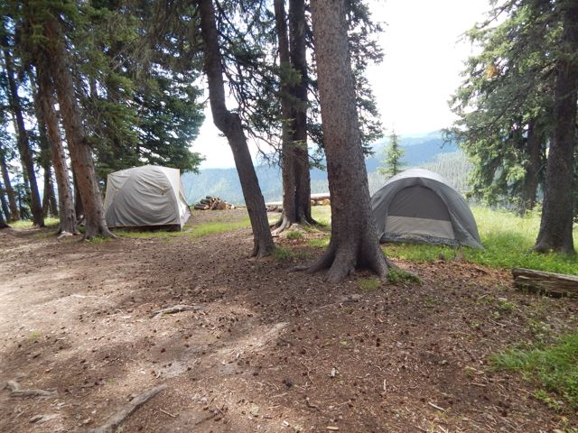
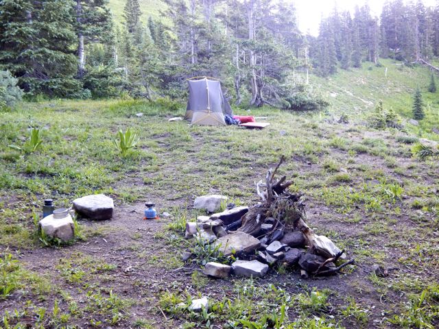
Conaf’s Camping Antahuara is an excellent campsite. And I actually had electricity!
I listened to audio books, Spanish lessons. And got to sleep early.
Morning dawned bright and sunny. Again. It was a summer heat wave in Chile.
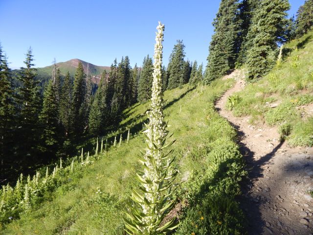
By 8am I was started up to Enladrillado carrying only a day pack. It felt easy.
This is a popular hike. I saw nearly as many people as lizards.
It’s steep in places. I recommend you hike right to left, climbing more gradually to the Enladrillado, descending from the Laguna viewpoint.
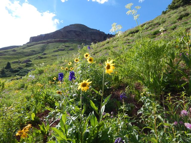
Enladrillado is great. But if you’d climbed all the way up here without seeing Descabezado (“decapitated”), you’d be disappointed. This is a hike for good weather. Phone the Ranger station (71) 220 9517 to check on he visibility before heading up.
It was getting hot.
I hid out in the shade dreaming of hiking all the way to Descabezado base camp. And climbing. Some day.
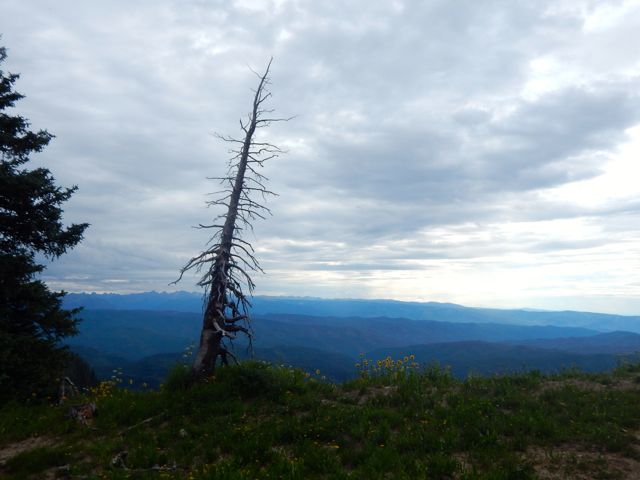
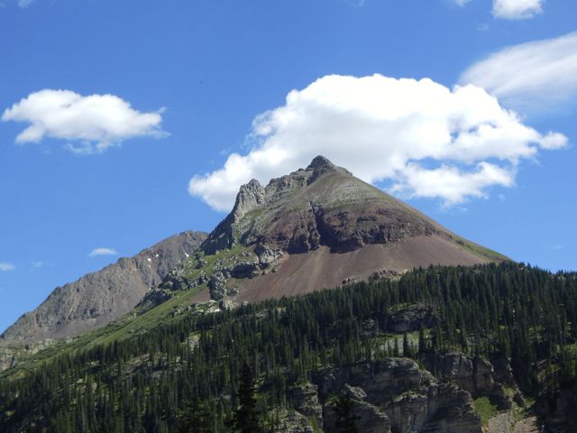
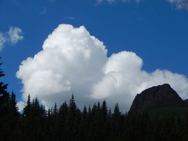
Cerro Azul
Starting here and continuing to Parque inglés is called the Circuito de los Condores. (Condor Circuit)
That’s what I should have done this trip. 😦
Next I started looping back towards Camp across the dry plateau.
Up high I saw only 3 small water sources. It’s not easy for flora or fauna to live up here.
Some cloud was rolling in down in the valley. Rangers had warned that a “little rain” was in the forecast for the weekend.
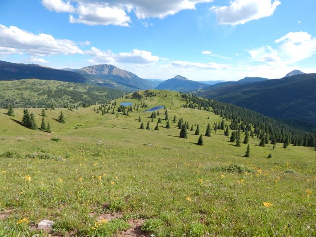
Here’s the viewpoint overlooking the laguna.
It’s a lot further down than it looks.
Though all kinds of signage makes clear that camping is not allowed, it appears the rule is not enforced. Many hikers up here were carrying sleeping bags.
This large group did not get to the top of the plateau until 1:30pm. Sadly the clouds were climbing higher. They’d likely miss the views.
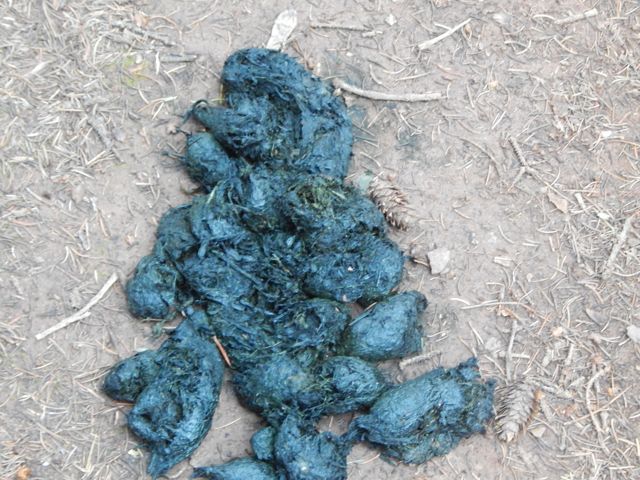
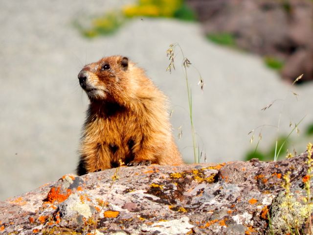
I was back in camp before 4pm. The only highlight on my return this fox. In Spanish you can call him “El Zorro”.
I’d seen his cousins in Patagonia (10yrs ago) brazenly rob tents. I resolved to be more careful hiding away my camping food in Chile.
Enjoying the campground, I decided to stay another night rather than bus back to the city. It rained all night. 😦 I missed the morning bus by 2 minutes 😦 delaying my exit by about 5 hours.
Still, I highly recommend Sendero Enladrillado in good weather. I’ve added it to our list of best hikes in South America.
The best guidebook I’ve seen is Trekking por Chile 40 Rutas 2015 (Spanish). It’s available in larger bookstores in Chile.
The Dinaric Alps have 8,000-foot stegosaurus spines, fairy-tale meadows, and stone guesthouses. Decades of conflict made them tough to experience, but the area is amping up its tourist offerings, and access is improving on the new Via Dinarica.
… Hire a guide and take three days to walk the 40 miles from Bosnia’s 6,900-foot Prenj Massif to Vran Mountain …
The morning was overcast and gloomy for the first time on the hike. I’d hoped the pain in my leg would have “recovered” by morning.
It had not. 😦My closest escape route was Kennebec trailhead, 8 miles onward.
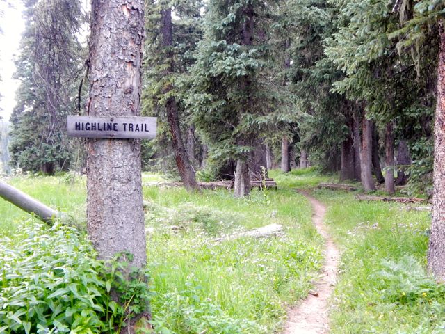
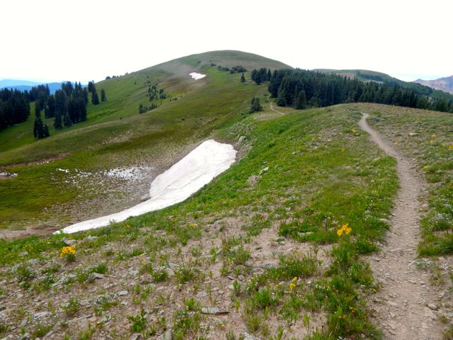
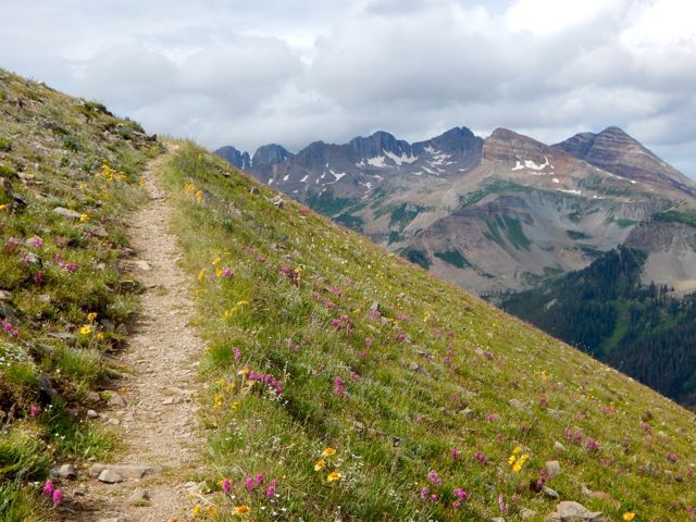
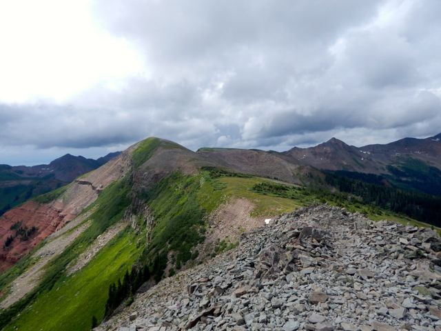
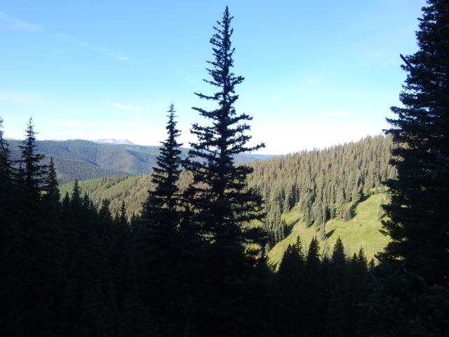
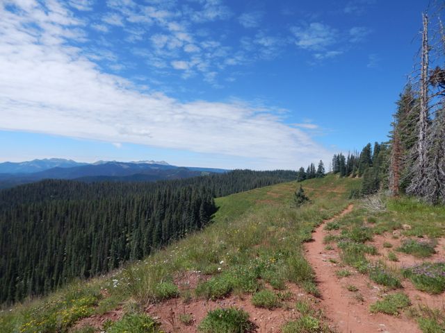
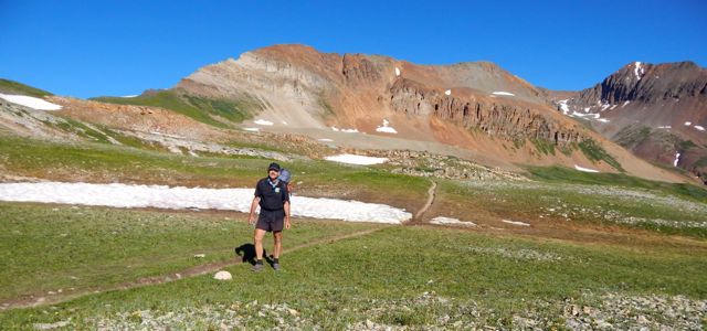
Would there be any vehicles there? Could I catch a ride back to Durango, skipping the last 20.5 miles?But when I hit the Highline Trail section I couldn’t stop grinning. It came clear to me why these are some of the highlight miles of the entire Colorado Trail. The Indian Trail Ridge section of the Highline is fantastic.
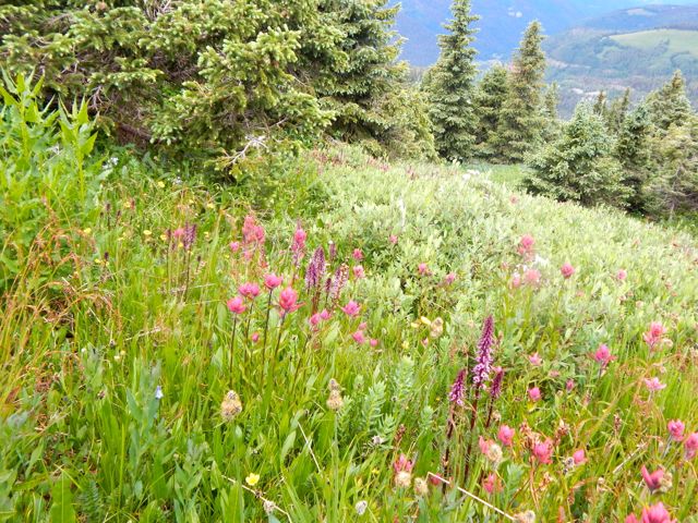
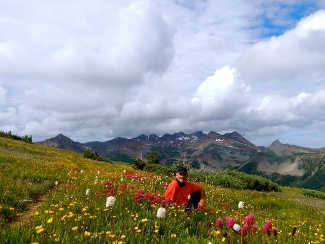
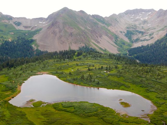
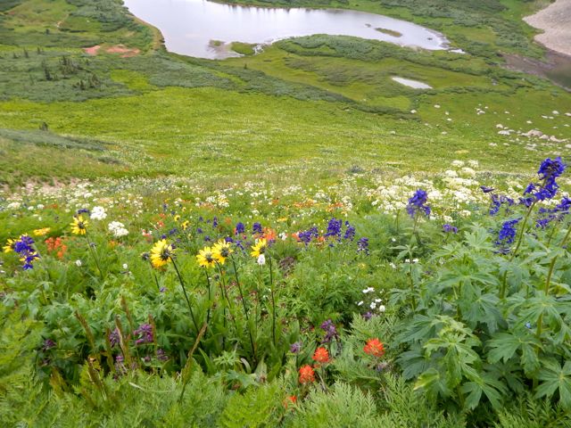
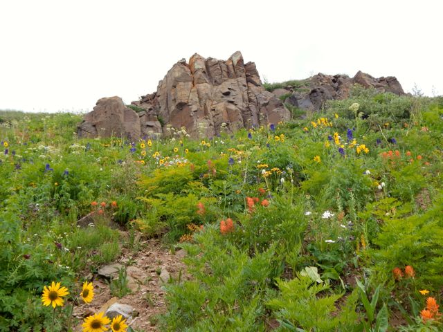
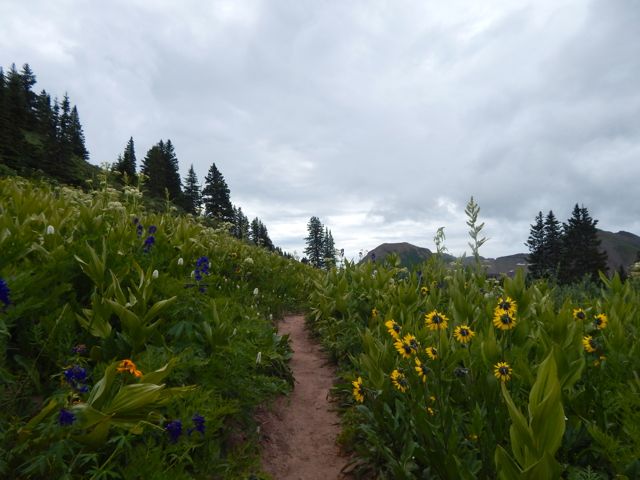
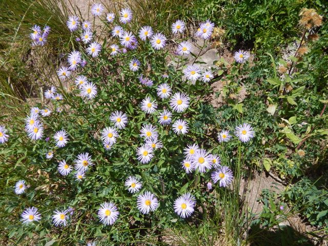
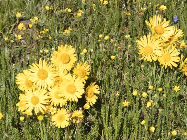
Photos cannot capture the wide and unique vista. But I’ll post some anyway. 🙂The wildflowers are reputedly better here in July than anywhere else on the Colorado Trail.
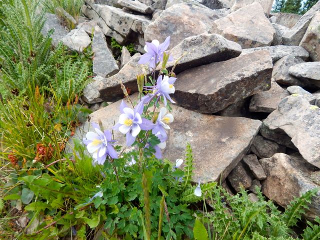
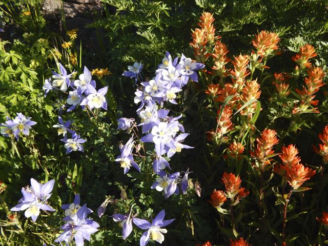
Blue Columbine
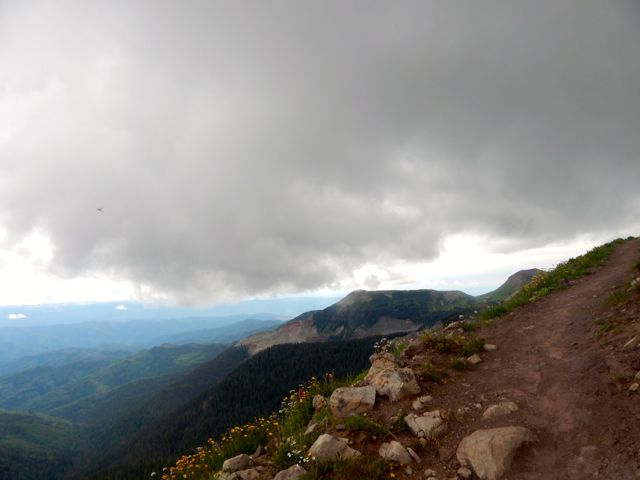
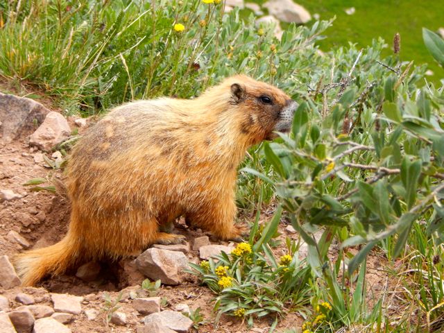
I was thinking to use this as my OK Cupid profile pic. 🙂 Ladies? Bad news. I was moving much more slowly than usual … and the big, bad thunder clouds started piling up atop the highest point on the trail.
Marmots can hide in the rocks if the thunder and lightning starts. But I’d be very exposed.
I shuffled on and managed to drop down to Taylor Lake and the Kennebec trailhead before the rain started.
I was relieved to get off the heights. And into even thicker wild flowers. The first folks I met – a family originally from Montana – offered me a lift part way down the mountain towards Durango. They were looking to fill their pick-up truck with firewood.
(note – At this point my camera said “batteries exhausted“. I resembled that remark. And put the camera away. My hike OVER. 51 miles total.)
I was pleased to tag along. Prepared to start working the chainsaw when a second vehicle arrived. A couple of ex-military fishermen. They’d needed to hitchhike plenty over their many different fishing trips. The guys dropped me at the Rec Center in Durango so I could shower-up and change my clothes.
A hot shower is one of the few things I miss while hiking. This one was glorious. 🙂
A lady at the Rec Center suggested I use the rest of the facilities. After all, I’d paid full price for the day – $6!
It sounded crazy at the time, but I did end up returning in the evening for a workout in the weight room. And another long, hot shower. 🙂
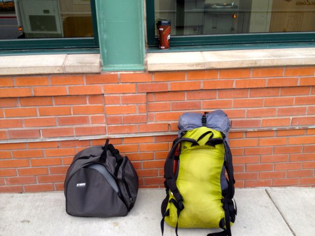
My stashed green garbage bag was exactly where I’d left it days ago. I repacked for travel, the Colorado hiking finished for 2015. (I was walking with a limp.)
Have you ever tried to fly from one small town to another small town in another nation? On a summer long weekend? With one day notice?
DON’T!
An itinerary like this is near certain to go wrong.
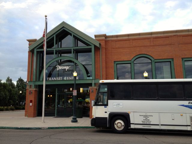
Instead, I played it SAFE and jumped on to the only long distance bus out of Durango. The 7am Roadrunner. The same bus that brought me here.
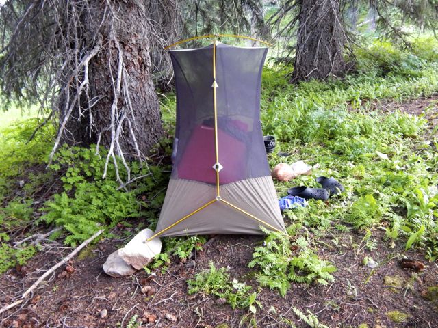
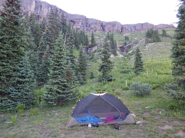
No rain last night. I hadn’t needed to put the fly on the tent!
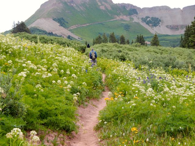
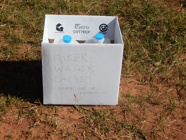
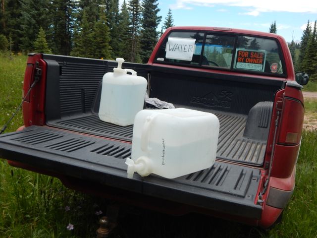
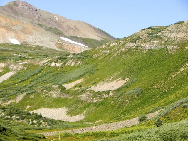
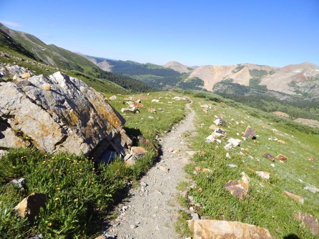
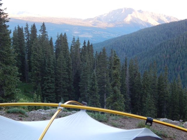
Mixed forest hiking. Often the Colorado Trail here traverses high on the mountain between alpine meadows and scattered trees. With more good weather, I’d planned to push hard again and hike perhaps 26mi to Taylor Lake. Otherwise I’d need to stop before the last available water at around 20 miles. I met an older couple from Nebraska riding the Continental Divide over a number of years. They’d camped near the first serious bear scat I’d seen in Colorado. Water is short on this high, ridge walking section. Trail angels had left this behind (empty) … … and somebody up day biking left this. At many downhill fallen logs, I took a short rest. One of the few complaints I have about this trail is road walking. Old mining and logging roads are everywhere.There are very few motor vehicles, but I’d be happier if they’d route actual trail to avoid them completely.
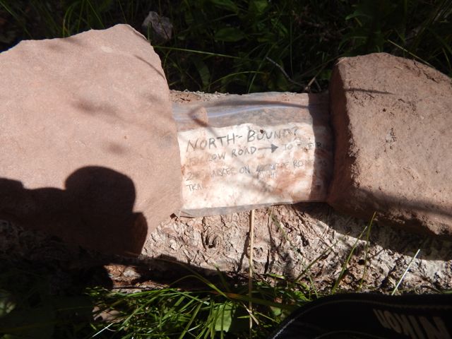
Signage is quite good. But it’s possible to get lost for short periods of time. Some hiker had taken the time to post this helpful note. The best sections have open views for long periods. A lovely day to be walking in the mountains. Wildflowers a constant delight. These guys are camped here with motor vehicles. As feared, the skies darkened above the high, exposed ridge I hoped to cross. There’s not much trouble with bears here. But lightning kills hikers every year. When it started to rain about 4pm, I decided to give up my attempt to make it to Taylor Lake.That decision was probably for the best as shinsplints (?) in one leg started to act up. (An old gymnastics injury from my youth.) I’d been pushing too hard with too heavy a pack, I guess.
This would delay my return to Durango by a day. But no big deal. I’d no plane to catch.
Charcoal I’d found on the trail wasn’t actually all that much help getting my fire going. So I cheated with my camp stove. 🙂more high resolution photos of day 3
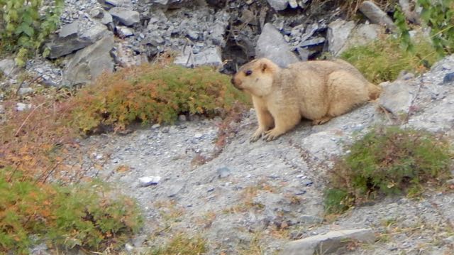
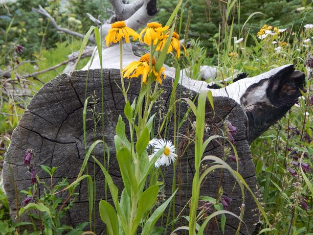
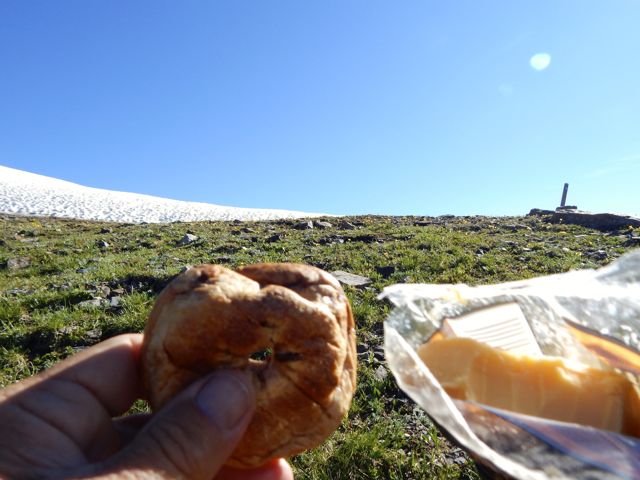
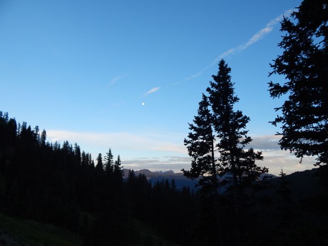
Good morning. Blue sky. Life is great in the Rockies when the weather is clear. This marmot seemed to be questioning my good mood. What does he know?The wildflowers are fantastic in July. Vistas wide open. Much of this hike is above the treeline. Clear mountain streams burble. There’s a little bit of snow left on north facing slopes. But not much. These ladies had an ideal campsite under the full moon. They were hiking about 10 miles / day. No rush. I was one happy hiker, myself. I snacked on raisin min-bagels and extra sharp cheddar cheese. Lovin’ it. Here’s the weirdest geological anomaly.
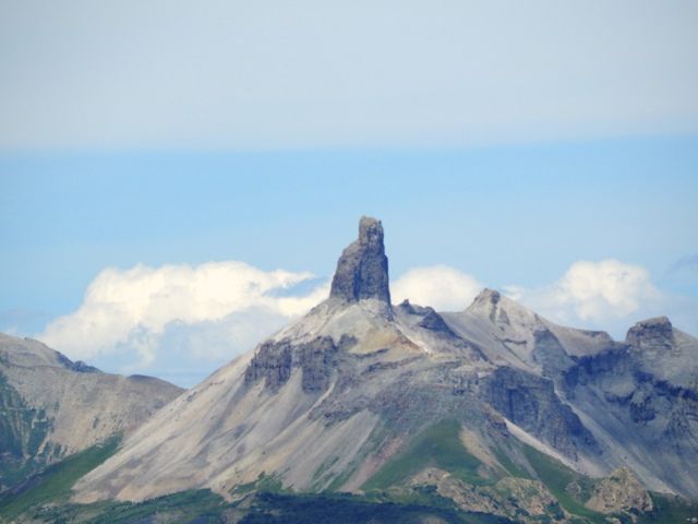
Lizard Head Peak.
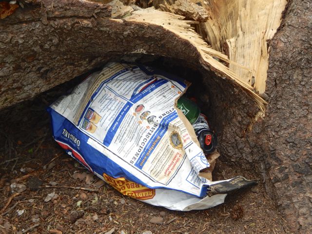
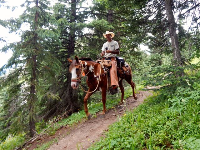
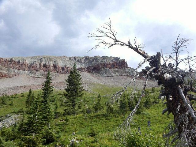
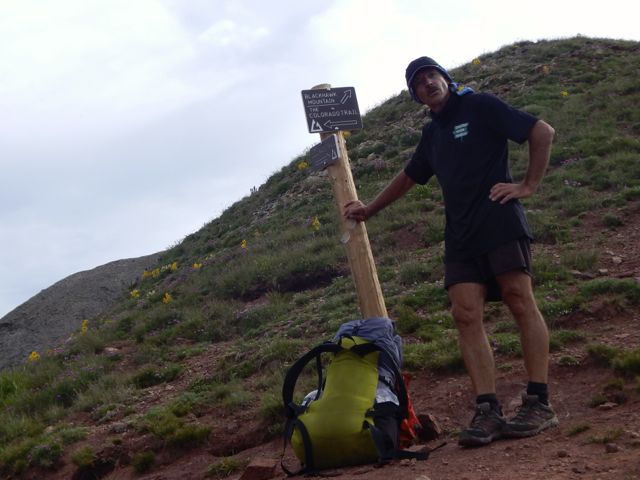
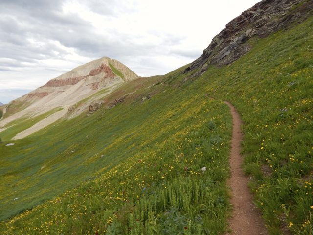
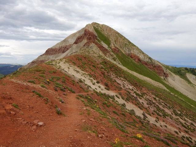
On the downside you must share this paradise with car campers. One group couldn’t be bothered to drive out their trash. 😦 Horseback travellers are cool, though. As usual, the skies darkened in the afternoon. I wanted to cross Blackhawk Pass before stopping for the day. Here it is … I thought at the time. Nope. The real Blackhawk Pass (11,985ft) was far, far more challenging. I wasn’t sure I’d actually make it before the weather closed on me.
photo by Scott Morris
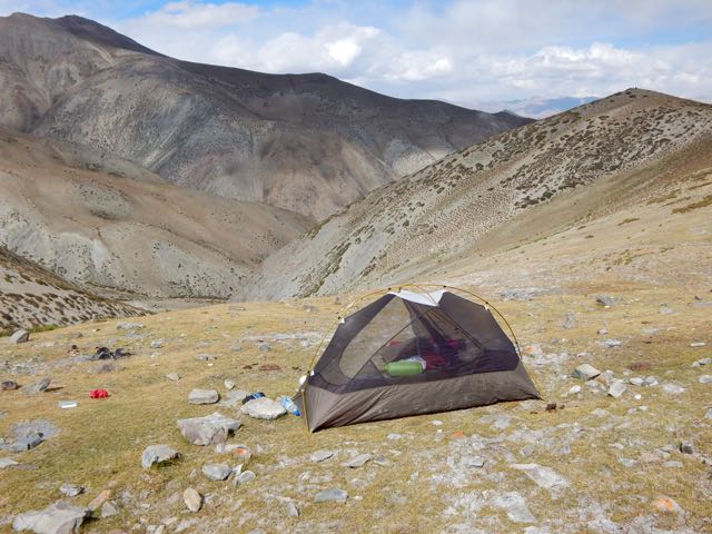
When I finally crossed and found water, there was no campsite. I went off-trail to the creek and set up my tent on the upslope side of a large tree, one of the few possible places to set up on a steep slope. It was fairly flat … after I propped up one corner on rocks. more high resolution photos of day 2
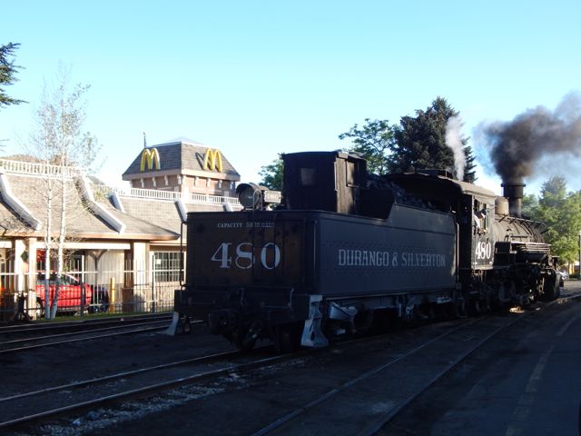
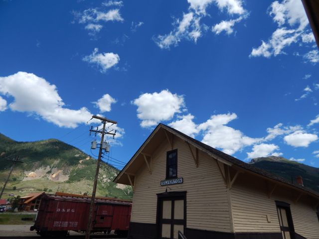
Arrived Durango, Colorado (pop. 18,000) by Roadrunner, the only long distance bus in and out of town. My plan was to take the train to Silverton. Hike back.
Many had recommended the very LAST section of the 500 mile Colorado Trail – the San Juan’s – as the best part. 🙂
An excellent hostel having closed a couple of years ago, the cheapest room I could find was US$120. (This tourist trap is expensive during high season.)
Therefore I would sleep rough.
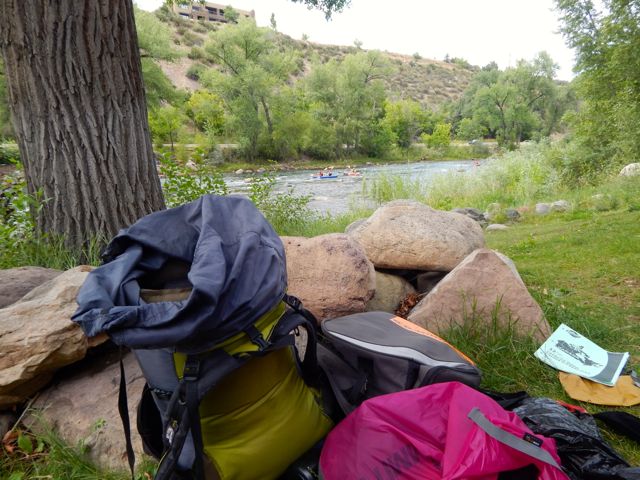
I found an excellent campsite hidden along the edge of the river in a Park currently under construction. Slept well in my tent.
I was using McDonald’s WiFi by 6am next morning.
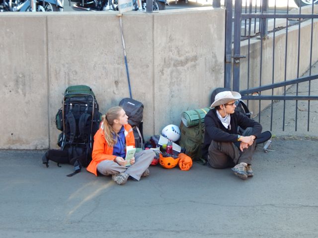
The ticket office for the Silverton train opened at 7am. Though officially “full”, one of the ticket officers managed to squeeze me on to the 8am train.
Problem. I had planned on taking the 9:30am train. Where would I store the gear I didn’t want to carry on the hike? In the 20min I had available before boarding?
No lockers at the train station. No lockers at the transit station. 😦
I ended up stashing a black garbage bag in bushes adjacent to the nearest grocery store. Hidden in plain sight in the Albertson’s parking lot.
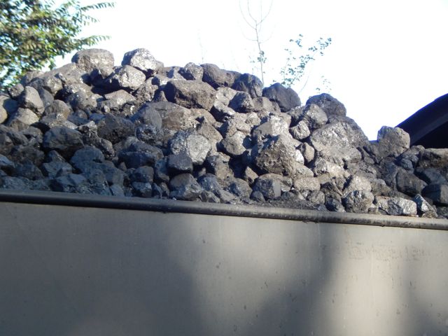
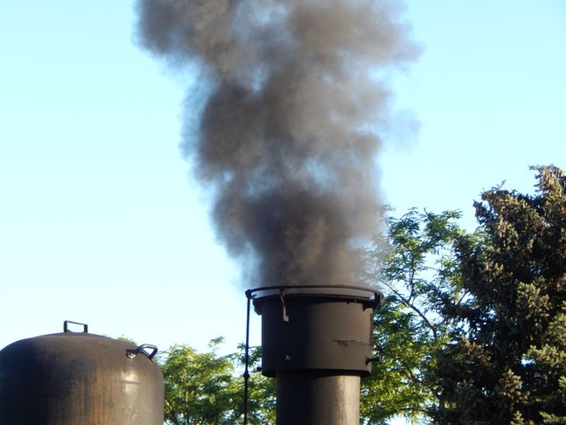
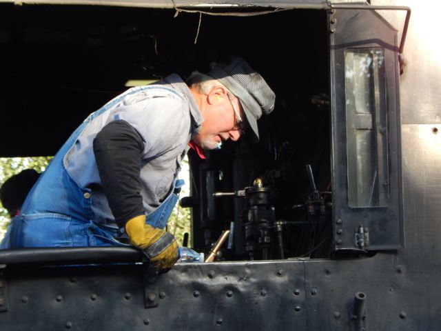
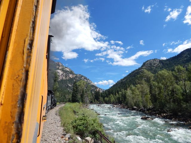
The steam-powered locomotives used today on the Durango & Silverton Narrow Gauge Railroad were built during the 1920s. …
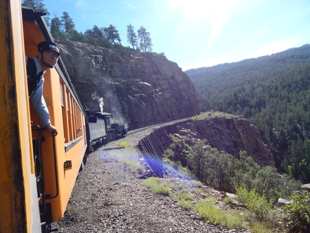
Plenty of hikers use the train to get up into the San Juan’s.One way scheduled trains take 3½ hours …
Elk Park is the last siding, wye, and flagstop before Silverton. Not as popular as Needleton for hikers, Elk Park is where the railroad crosses the Colorado Trail …
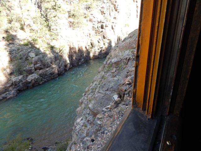
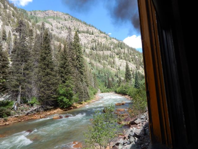
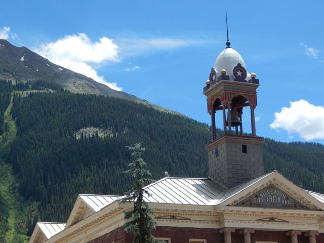
I stayed on the train at both Needleton and Elk Park. Rode it all the way to Silverton.
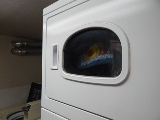
One essential task left – laundry.
The campground is happy to have hikers stop by for a wash and dry. (Or a $7 shower.)
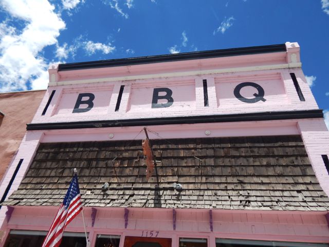
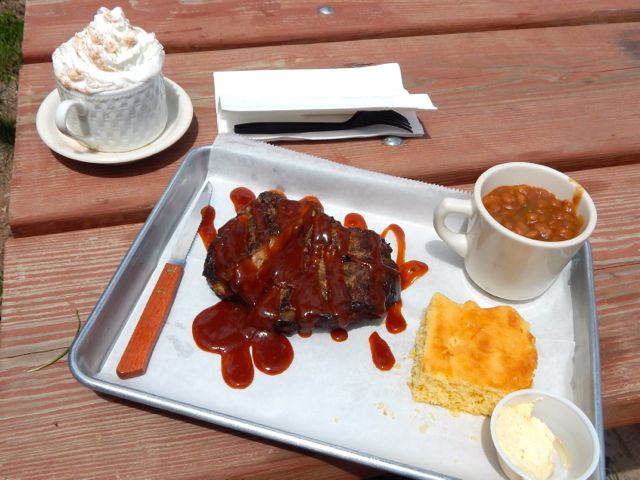
For lunch I hit the southern Barbecue joint – Thee Pits Again.Pork ribs, baked beans, cornbread … and very British bread pudding for desert. My last restaurant meal before hitting the trail.I wandered the town while my togs were drying. Getting out of Silverton was another blunder. I started hitchhiking … in the wrong direction. A local gent drove me up to the correct highway and to the best place to hitch. I had a ride within minutes. Hikers are hitching back and forth the 7 miles to Molas Pass all the time.
Arriving at the pass I met a European who was nearly finished the 500 mile Colorado Trail. But he needed to resupply in Silverton, staying at the hostel there one night. Oddly, he got a 7 mile ride with this truck driver. Some scam was in the works, I suspected. Actually, Silverton has no grocery store. But does have a gear shop (fuel) and plenty of restaurants.
The vista looked great from Molas. Here I’m looking back at the section prior the one I was about to do. Across the highway. Off and up.Gorgeous scenery. Though my pack felt heavy. I should have left more STUFF hidden in a garbage bag.The wild flowers are shoulder high in places.I set up in a lovely spot.Failed to get the campfire going this time. (Tried to skimp on kindling.)
The Colorado Trail is mostly dispersed camping. Put up your tent anywhere you like.
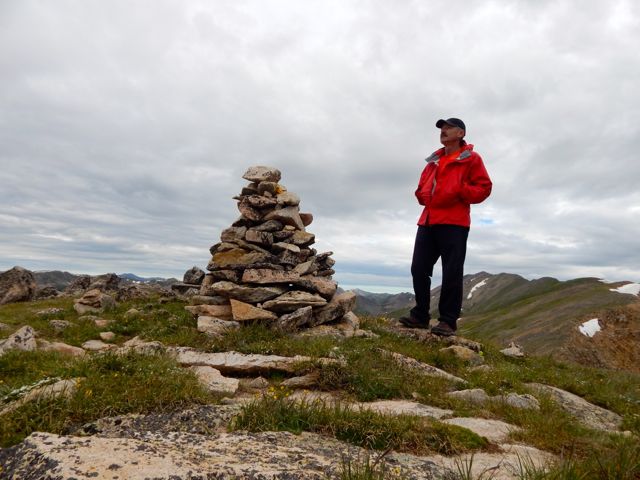
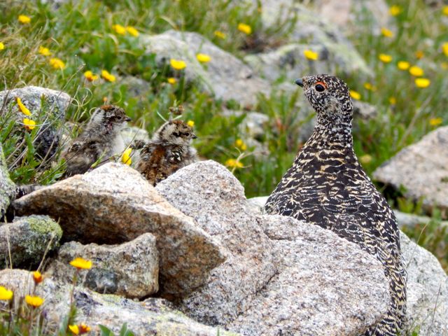
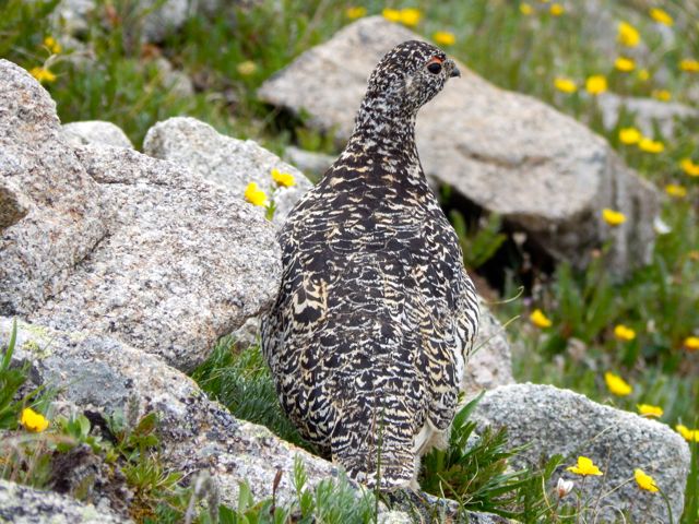
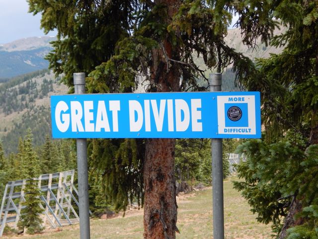
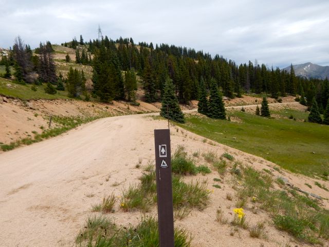
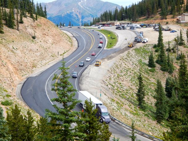
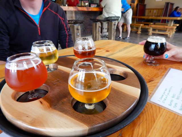
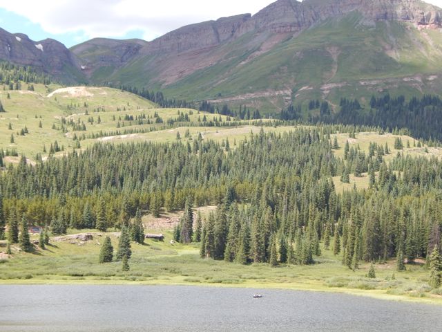
I was up at first light. But everyone else heading south was already gone. I enjoyed a pot of coffee, as usual. It was up, up and away from pretty (but buggy) Hunt Lake. For some reason the steep climb to the only major pass felt easy today. Perhaps I’m getting used to this.The map showed a long, leisurely walk out along the continental divide. More ptarmigan. These 4 chicks were very young. The end is near. Electricity. Traversing the roads atop of Monarch Ski Resort was a bit confusing. There are few trail signs.Here’s the finish. Paved paradise, put up a parking lot. I caught a lift with a trail angel from Buena Vista. In thanks – and celebration – I treated for beer samplers and pork tacos at Elevation brewery. She dropped me at BV tourist information. I hoped to find a bus headed towards Aspen. Bad news: Though public transit is fantastic on the other side of Independence Pass, there are no buses in the poorer Arkansas River valley. 😦
Though I hate hitchhiking, a paddling guide drove me up to the Twin Lakes turnoff. … Then a fascinating world traveler – next skiing in Chile before settling down to research Dahl Sheep in Alaska – drove me the rest of the way to Aspen.
From there, in the pouring rain, I caught a $6 bus back to surprise my friends in Carbondale.


