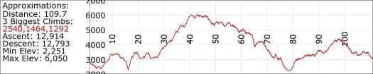
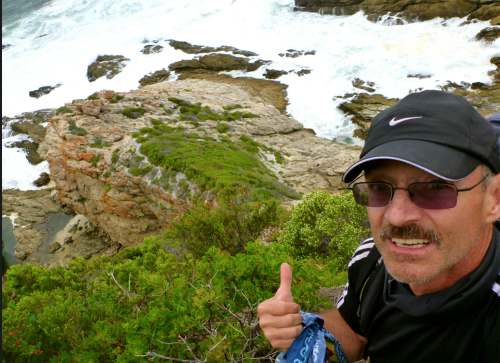
Trip report by site editor Rick McCharles
day 0 | 1 | 2 | 3 | 4 | 5 | info page
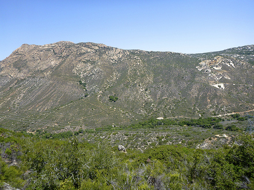
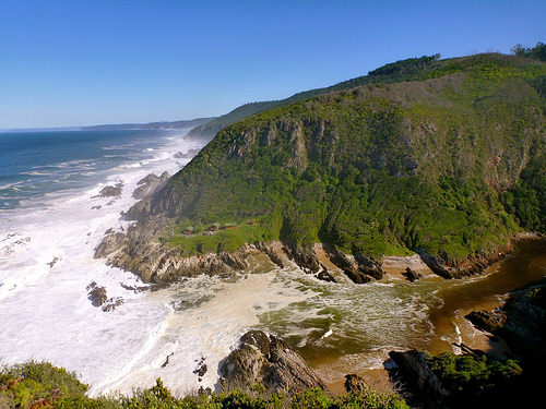
Day 1 = 4.8km (± 2 hours) – Storms River reception to Ngubu huts
No rush day 1.
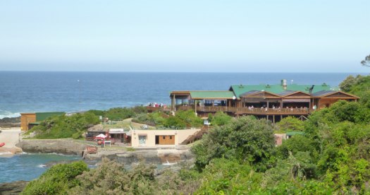
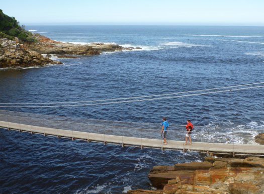
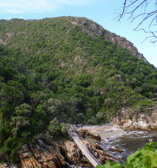
I relaxed in the morning. And enjoyed 2 MORE restaurant meals at Storms River Mouth Restcamp, making the obligatory day hike to the Suspension Bridges.
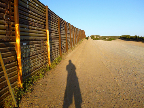
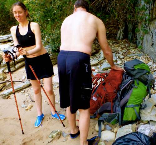
You must register for the Otter at the Park entry gates, not down at the campground — as I had hoped. Carrying my hiking pack, I started rolling the rest of my luggage UP the steep hill to the Park office.
Not one vehicle stopped to offer me a lift. (Best not try to hitchhike in South Africa.)
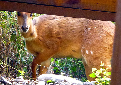
I did spot a bushbuck crossing the highway. Then a large troop of baboons, the first I’d ever seen in the wild.

Happily the Registration folks let me store my excess luggage for the 4 nights I’d be on the Trail. …

Registration is quick and efficient. The safety video has been out of order some months, so was not required for me.
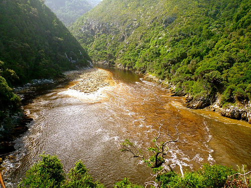
Each hiker is given a poor map with trail description, suggestions, bird list, etc. Most critical on that one page document is instruction on how to most safely cross the Lottering and Bloukrans rivers.
You are also given tide tables (essential) for the dates of travel.

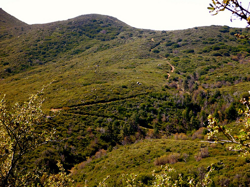
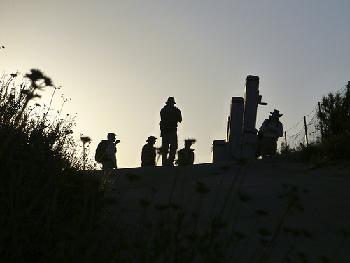
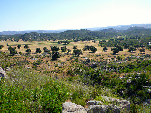
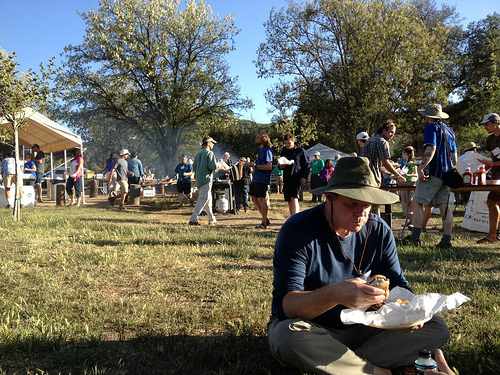
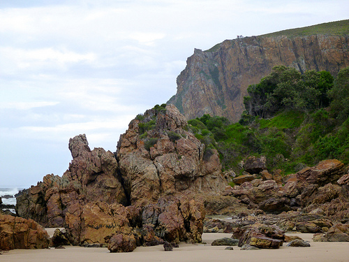
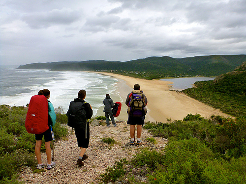
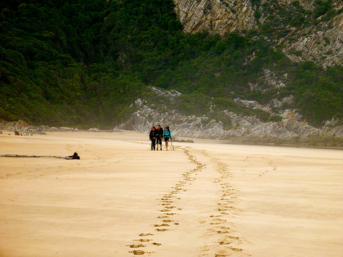
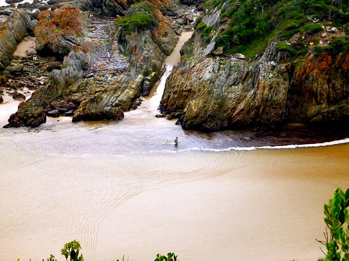
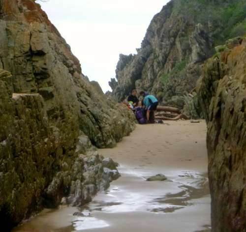
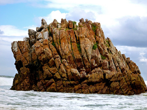
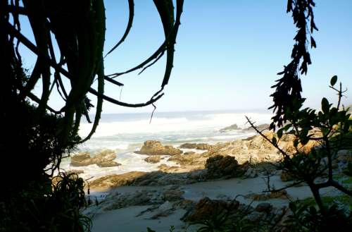
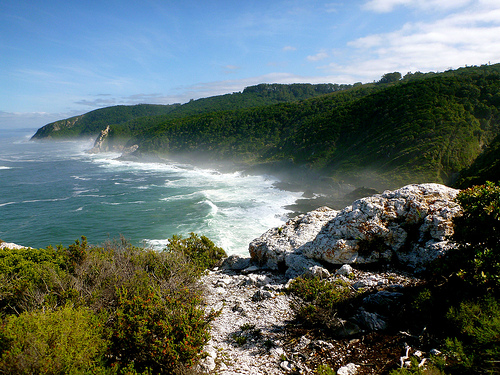
Start of the Otter, you share the trail and coastline with (many) day hikers.
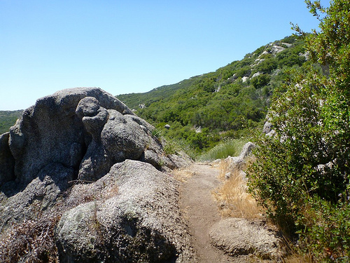
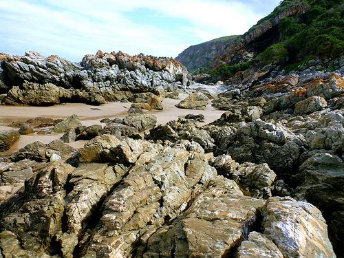
Requires some boulder hopping with heavy pack.
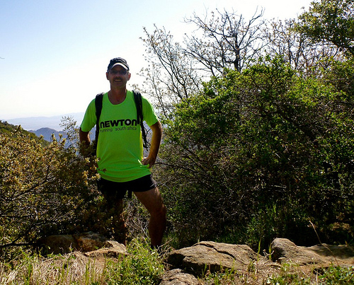
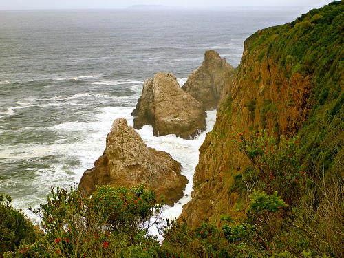
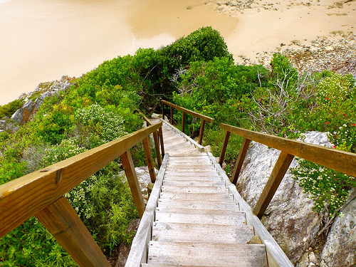
This trail, 50-years-old in 2013, is rugged but very well maintained. There’s plenty of help. Steps. Bridges. Even a few ropes.
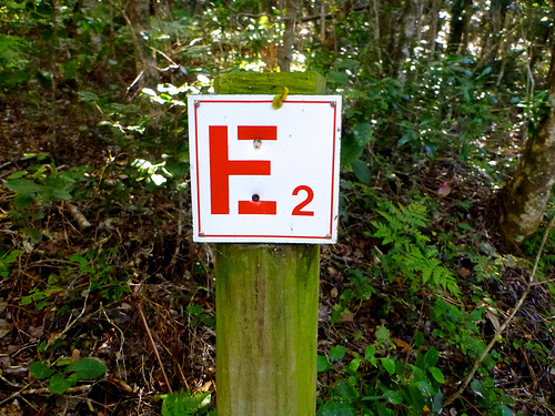
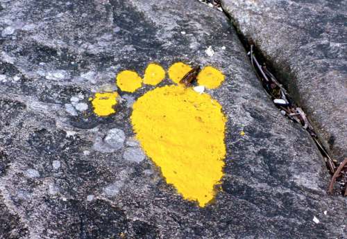
You can’t get lost. Follow the clawless otter.
Water is plentiful.

You are advised to treat all water. I did. Many locals don’t bother.
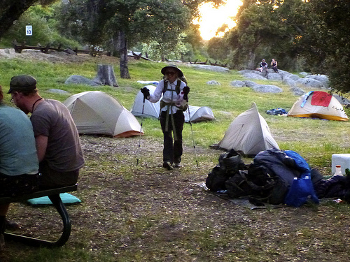
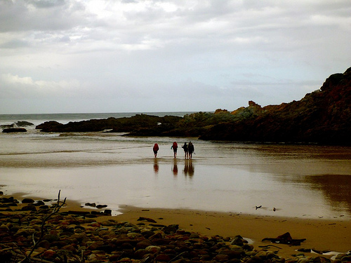
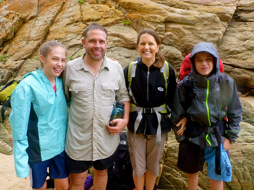
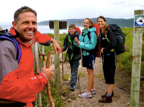
It took no time at all to reach the first camp. I was pleased to meet Steven and Kimberley, Scott and Claire Marques from Zimbabwe.

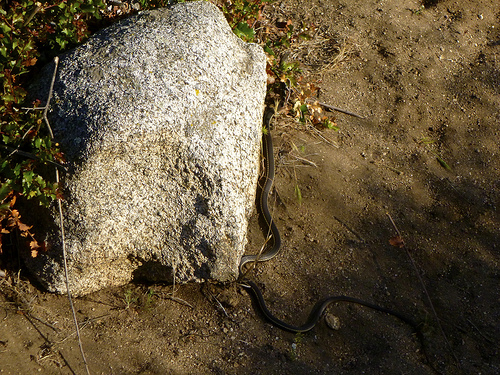
Rod and Jess, holidaying from the States, were the other 2 hikers starting same day. They had seen this Puff Adder sunning on the rocks.

Rod had grown up in this region. He’d never seen larger.
It’s not uncommon to see snakes on the Otter Trail. And throughout South Africa. For more information, ask at registration.

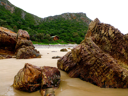
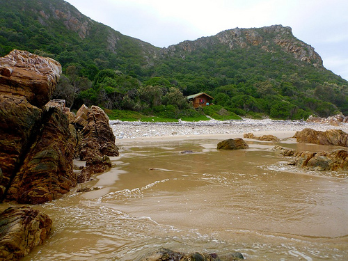
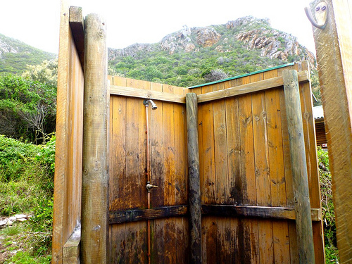
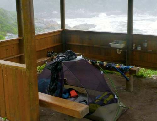
There are two huts, toilet and cold shower at all 4 camps, each mandatory stops. Each of the two huts has 6 bunk beds with firm mattresses. Hikers must provide their own blankets/pillows/sleeping bags etc.
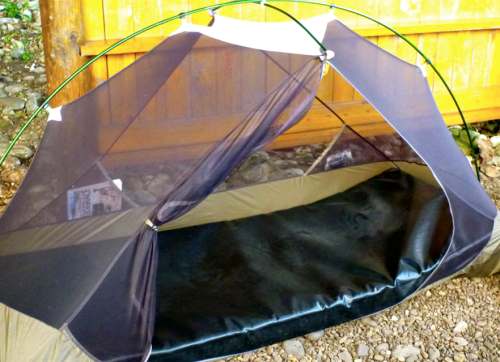
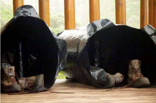
Happily the Marques family got their own hut. Rod and Jess got their own hut. And I tented under the mesh, protected by a roof in the dining hut. Normally tenting is not allowed, but my set-up certainly did no damage to the environment.

Of 12 spots available, only 7 hikers arrived to start. Many folks book a year in advance. There are no refunds. And its not allowed to replace those who don’t arrive.
A permit for the Otter is the most difficult in South Africa. It’s a shame they haven’t modernized registration procedures to get more folks on to the adventure.
A few tent sites should be added to each camp, too.

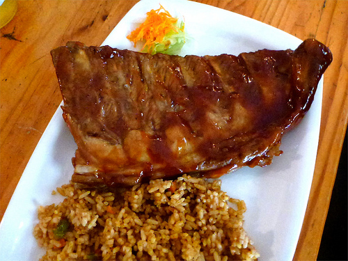
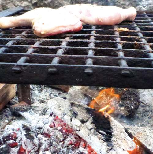
The one thing that unites ALL South Africans is murdering and cooking up animals out of doors.
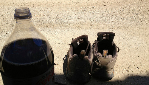
The word braai (plural braais) is Afrikaans for “barbecue” or “grill”. I carried in frozen chicken.
Sanparks keeps a supply of wood dry underneath the huts. In fact, they were delivering wood fresh each day when we were there.
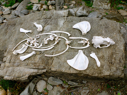
Two mooching genets made an appearance at dusk. Seems they’ve been gifted — or stolen — grilled meat in the past.
Lightning quick at dusk, we couldn’t get photos. They were gorgeous, though, with both stripes and splotches.
Here’s what they look like.

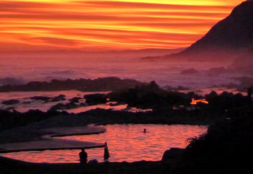
Finishing the wine I’d carried in, it was an early night. Dark at 6:30pm, the Southern Cross and Milky Way were stunning.
We were all asleep by 8pm. The only sound the crash of huge waves.

more of my photos from day 1
… on to day 2