A tough trip in 3 nights, 4+ nights is recommended for easier and more relaxed hiking …
… we were lucky enough to have bluebird days all 4 days!
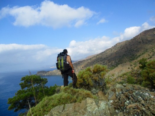
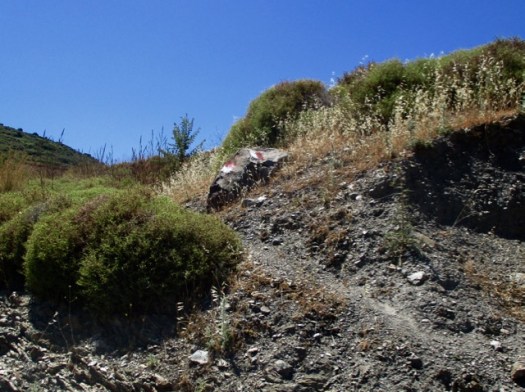
Routefinding can be challenging as this hike has many social trails woven through the rugged tundra. There is one (unmarked) trail that is most often used and offers the fastest hiking, but is tough to follow and easy to lose track of at times.
This hike involves a crossing of the McKinley River, a potentially very dangerous river crossing! It’s crucial to be informed and prepared for this river crossing- knowledge of advanced river crossing techniques, the best current crossing routes, as well as current weather & water level conditions is all critical info for a safe crossing.
Trip report by site editor Rick McCharles | day 1 | day 2
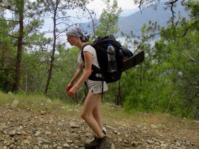
day 2 – 6:45 am I hoisted the pack.
Unsure of exactly how I was going to get back for my 4pm ferry departure , best get an early start.
In my dreams I’d hoped to get all the way to Palamutbuku … but there is one earlier exit if I am running out of time.
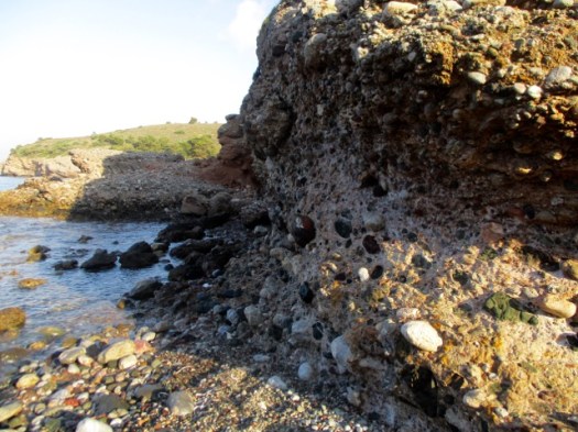
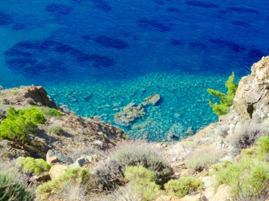
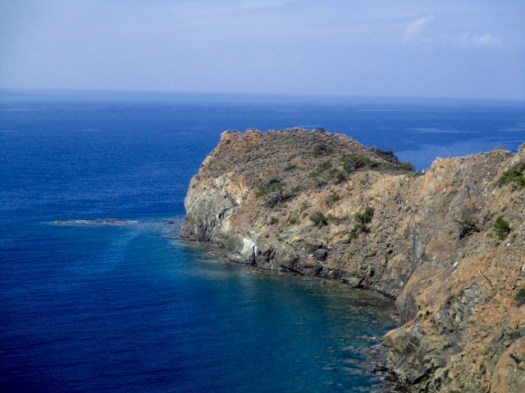
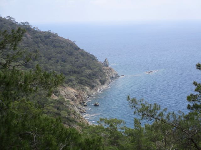
The first section is scrambling over headlands. A series of deserted coves.
Rocky beaches. Much of the stone is conglomerate.
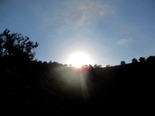
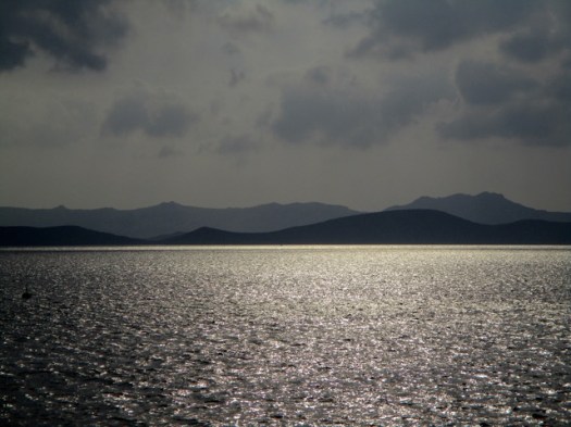
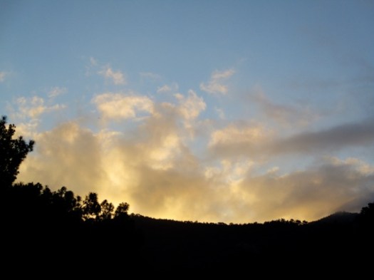
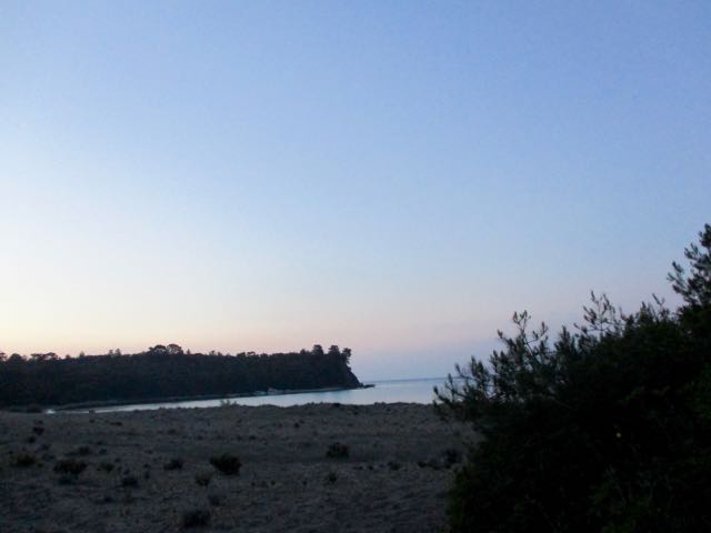
My sunrise.
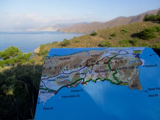
I was lost briefly several times. The official guidebook and map are not sufficient to keep you on the trail. GPS is pretty much essential on the Carian Trails. And I didn’t bring my GPS to Turkey. Doh!
So few hikers pass this point I left the next one a Summit Stone. There’s no way to miss it.
If you like this kind of solitude and scenery, plan a hiking trip to Turkey.
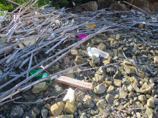
The beaches are not littered. But they are full of plastic and junk washed ashore.
Here’s the toughest headland. My guidebook authors nicknamed this scramble Death Valley.
Whew. Civilization.
I was slow getting here. But the only other walkers I saw on the trail were even slower.
This village was the end for me. I’d need to find the mini-bus back to town to be sure not to miss my ferry.
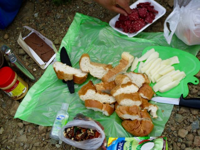
During lunch at a pleasant restaurant I learned that the mini-bus does not run on Sundays. I’d need to hitchhike. A crazy dentist in a beat-up van picked me up.
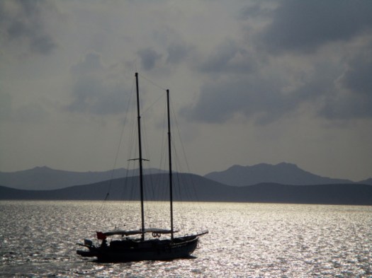
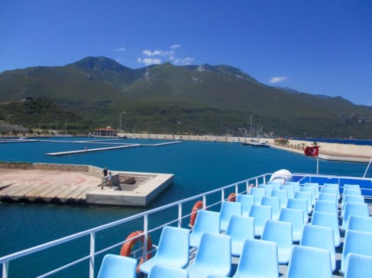
I was tired on the ferry home. The two days had taken more out of me than they should.
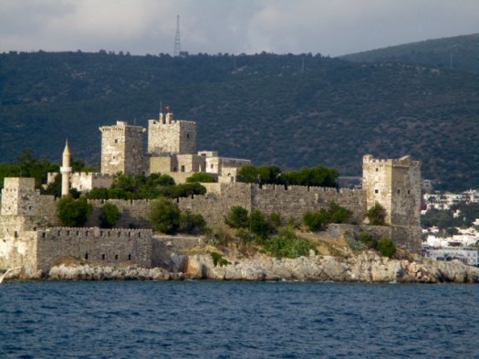
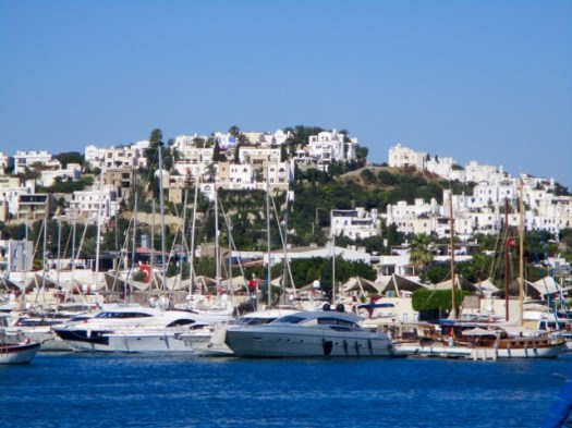
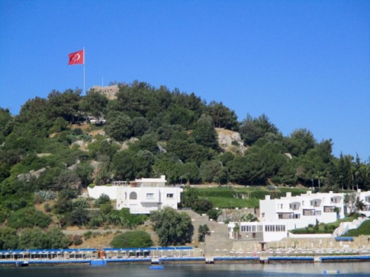
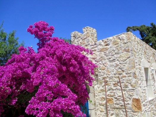
Bodrum castle is most impressive from the sea.
Trip report by site editor Rick McCharles | day 1 | day 2
Only 2 days on the Carian Trails. But it was enough.
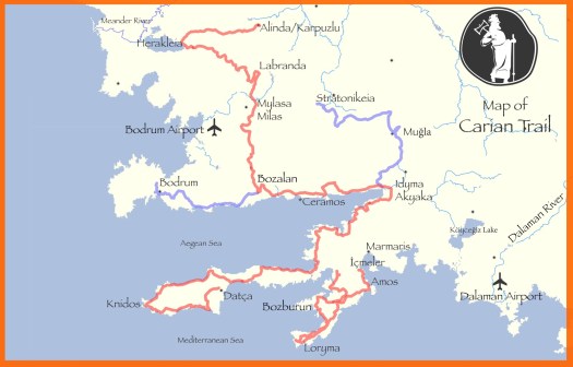
I decided to return April / May 2019 for 2-3 weeks most likely on the even more remote Bozburun Peninsula section. (141km)
I’ll have two GPS devices and several downloaded routes. I’ll carry the right gear. And I’ll bring some of my food from home. Turns out they don’t sell dehydrated mashed potatoes in Turkey.
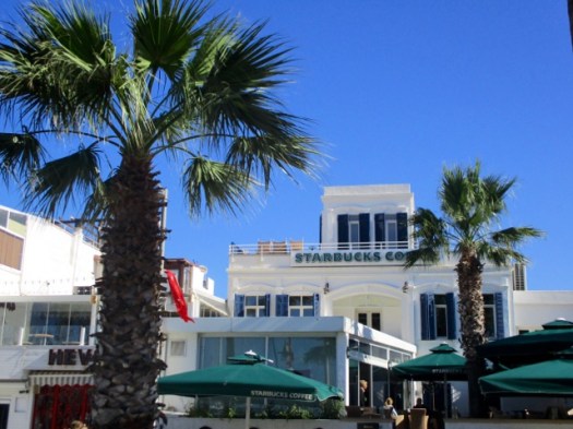
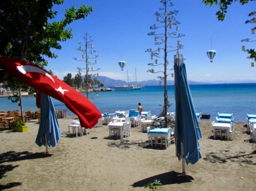
I wandered Datça town for an hour enjoying the peace and quiet after busy Bodrum.
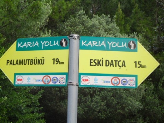
Eventually I found the official trailhead in Eski Datça. This is the start of the 240km Datça Peninsula section.
People visit to see traditional old stone houses on cobbled streets.
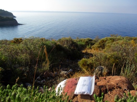
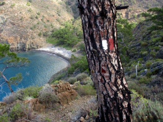
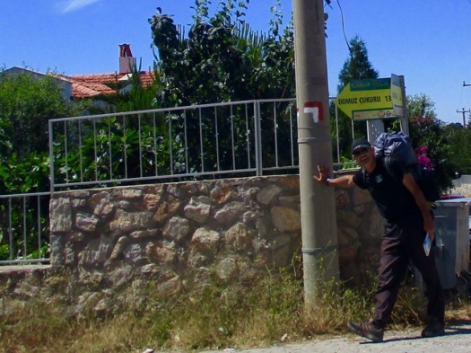
Follow the red & white paint.
There are some signs on the Carian Trails, but not many.
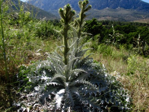
I wore long pants due to thorny, stinging vegetation on the overgrown trails. In fact I should have had even thicker pants.
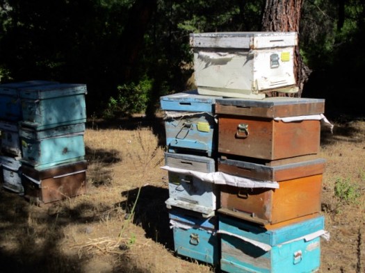
Traditionally this region is famous for fish, almonds and honey.
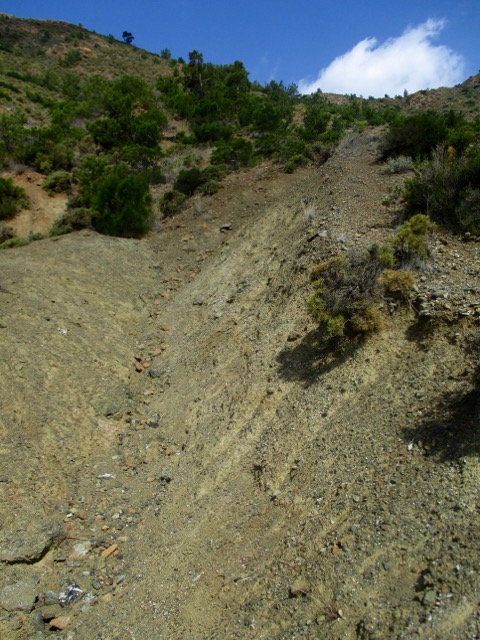
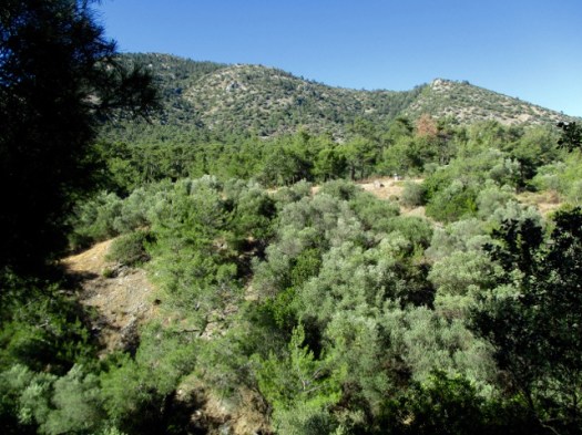
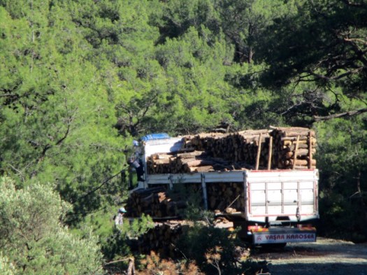
Most of the day was on logging roads. Good footing.
Alarmingly, the only water source was swarming with wasps. I couldn’t get close.
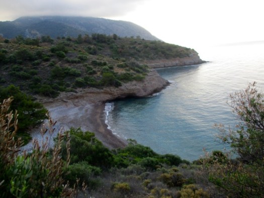
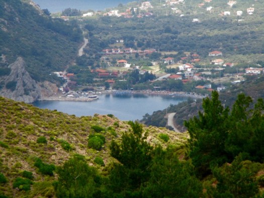
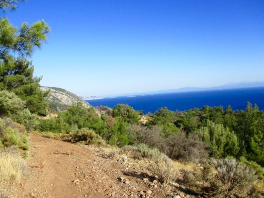
First glimpse of the ocean.
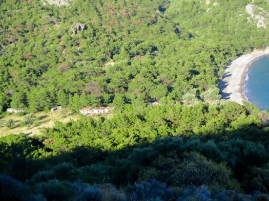
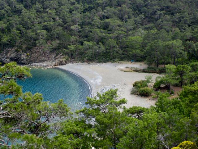
I was very happy to see my destination — Pig’s Hollow Camp (Dumuzcukuru). Wild boars visit occasionally.
It’s something of a commune. When I was there 3 Turks were in residence. One had been coming for 6 years.
They take care of the garden. Keep the place clean. Maintain the solar power rig and water purification system.
Anyone can stay and probably eat dinner with the guys. By donation.
My pasta dinner, home grown salad and wine were excellent. I was HAPPY to donate.
The guys told me very few Carian Trail hikers pass by. It truly has not caught on yet in Turkey though the nearby Lycian Way is booming. The Carian Trail was only launched in 2013.
I saw one big black snake. They guys said they see about one snake a day at the Camp.
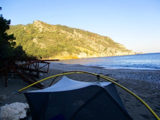
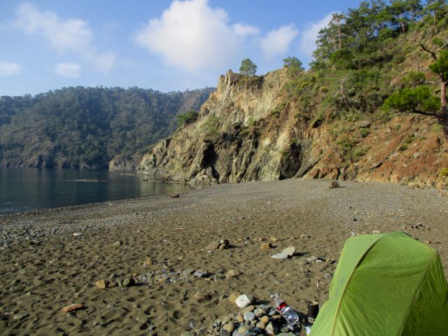
My last night in the tent in Turkey. A nice spot. I had the beach to myself.
I read my kindle as dusk fell.
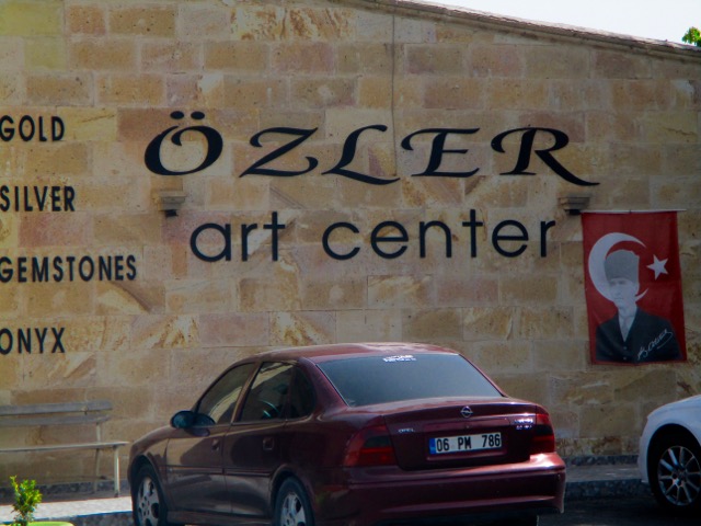
Trip report by site editor Rick McCharles | day 1 | day 2
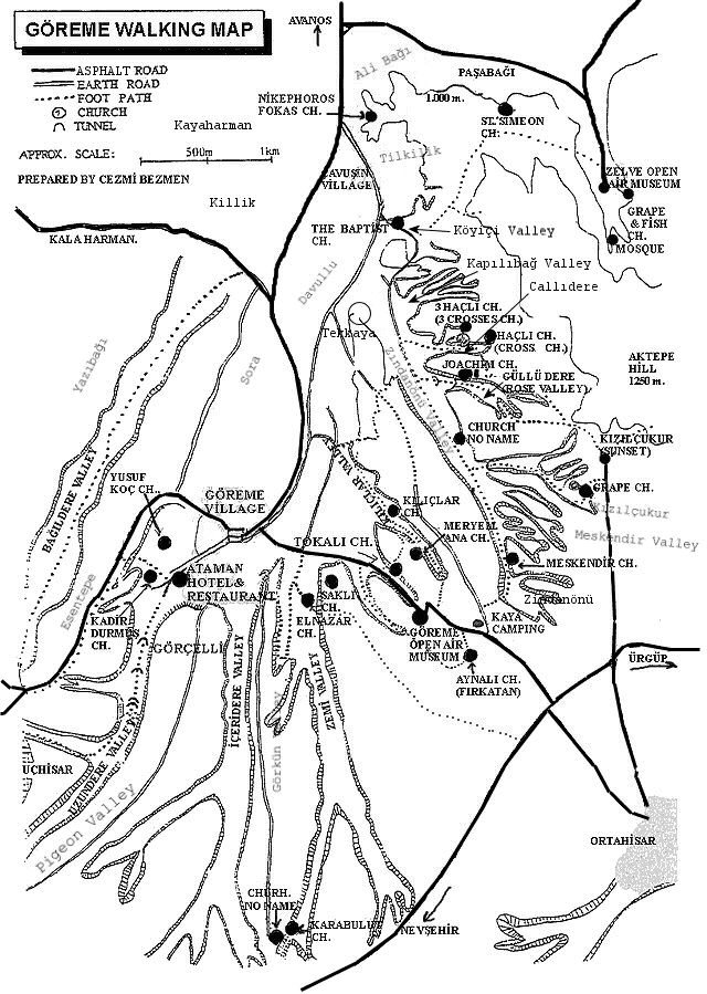
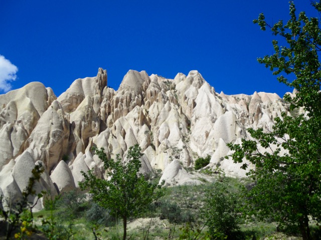
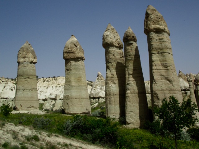
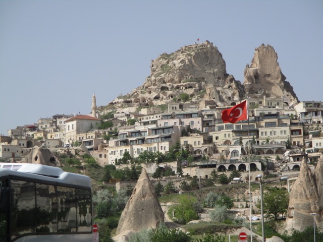
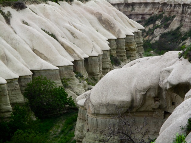
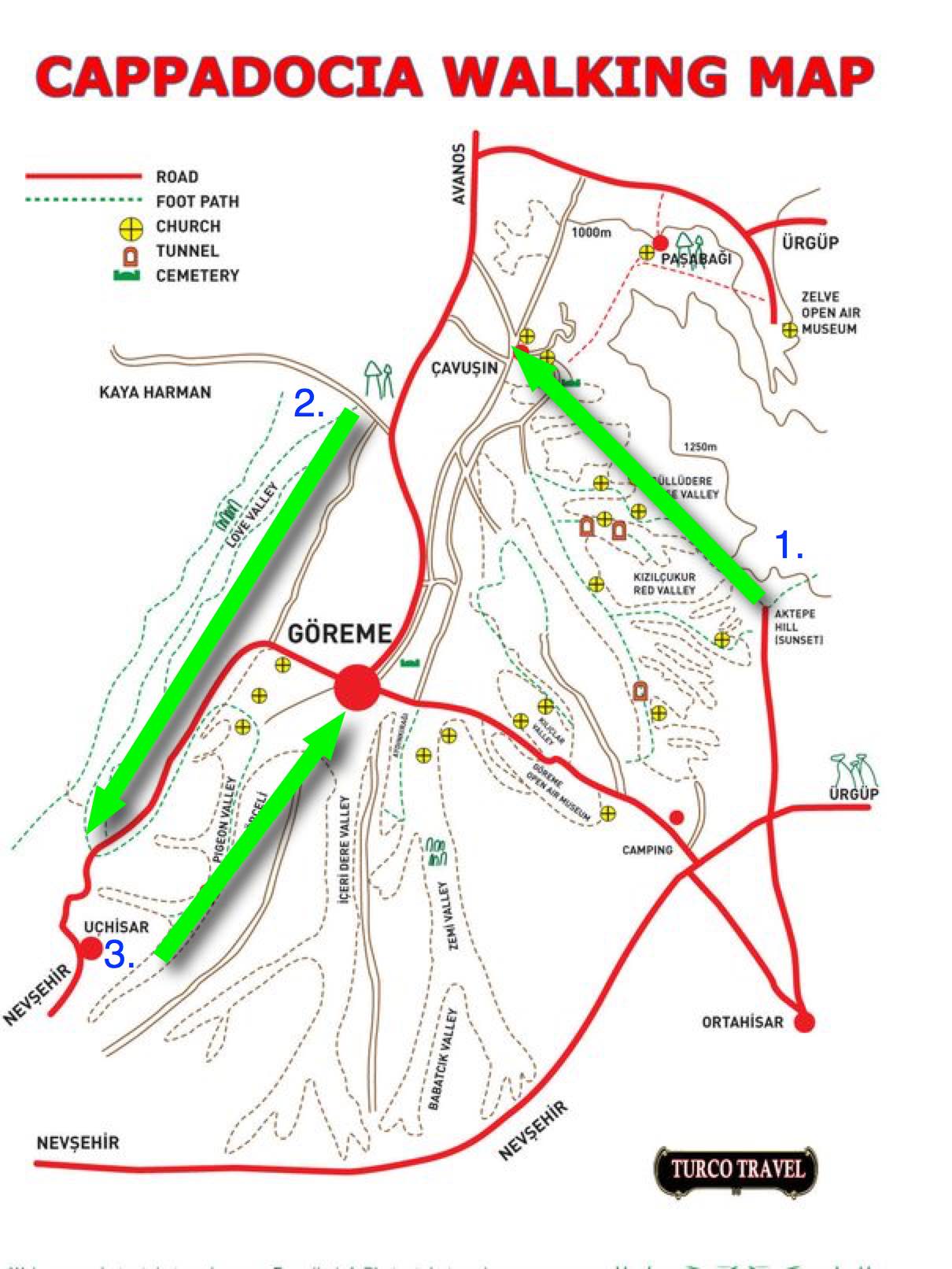
On arrival in Göreme someone will hand you a FREE hiking map.
Most wander around with this thing … frequently getting lost. We could find no decent map nor guidebook in 2017.
For 6 days I hiked and cycled many of these trails, often lost, before finally deciding on what I felt was the best hike.
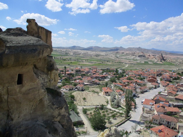
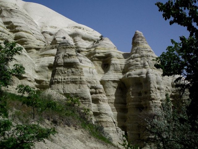
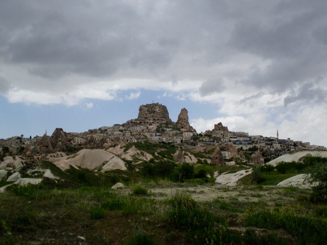
Ask the people at your accommodation in Göreme how to get to the Rose Valley Panoramic viewpoint. They’ll likely recommend a taxi and tell you the price. It’s about a 15 minute drive uphill from town.
There is a small entry fee for Panoramic viewpoint. The taxi may drop you outside the gates.
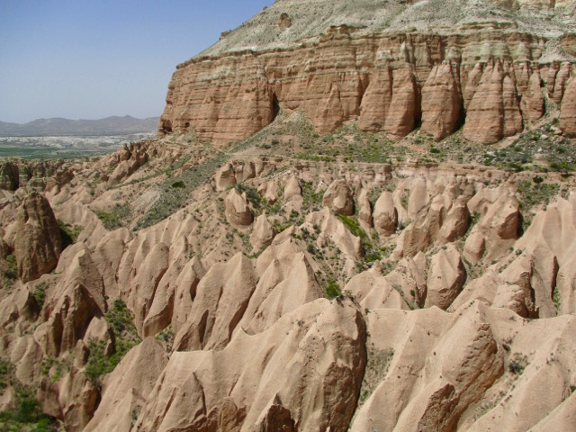
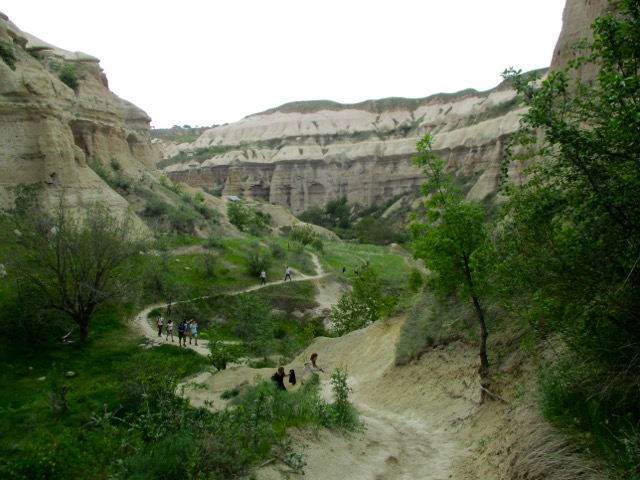
Most feel Rose Valley trail. 5km to Caveusin is the best hike of all. And I’d agree.
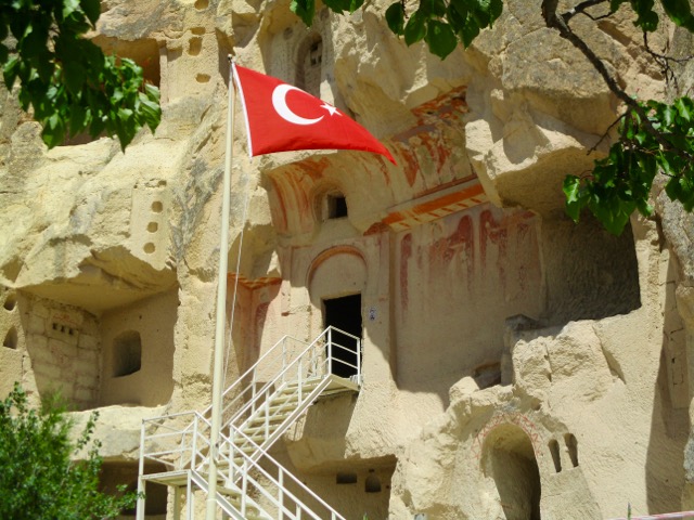
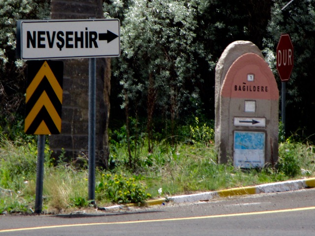
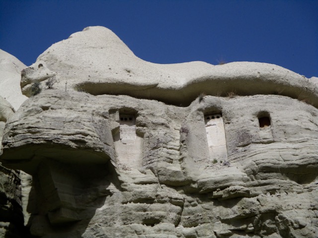
Note that most of the trail signage is in Turkish.
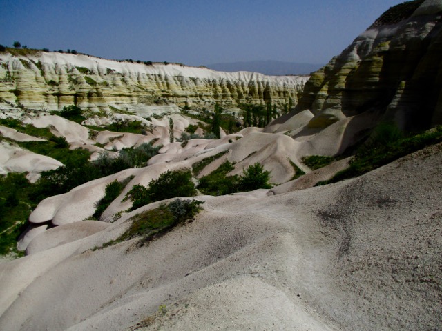
There are many twisting and turning trail options. All are good but the very bottom of the valley might be muddy.
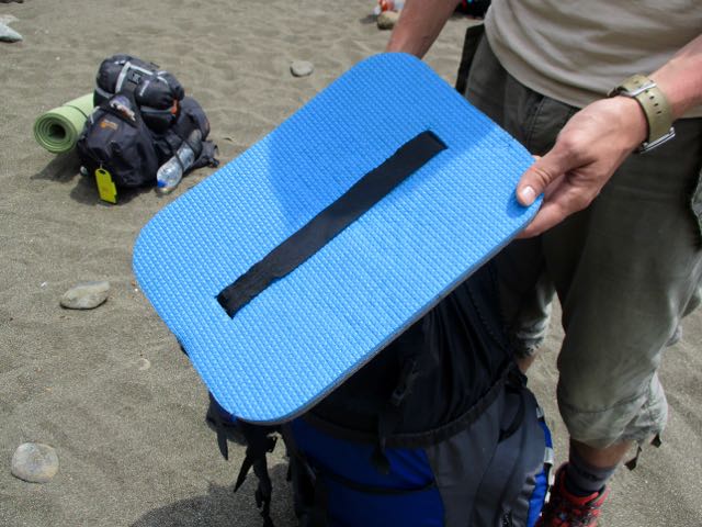
Super popular on this trail are sit pads that strap on to your body.
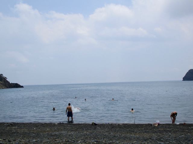
Super popular too is swimming every chance you get on the Lycian. What’s the matter with these people? Don’t they know there are GREAT WHITES and MAN-OF-WARS in the Ocean?
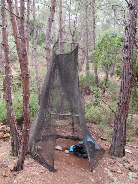
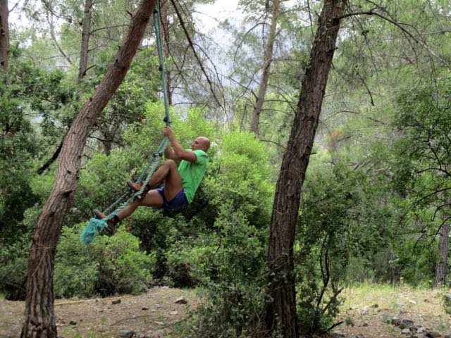
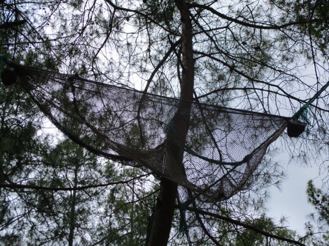
We’d been hanging out with a hermit from Istanbul who spends many weeks each year meditating on this beach. Departing we stumbled on his beach home.
He sleeps up high in a tree hammock. Possibly to get away from mosquitoes that sometimes plague this area.
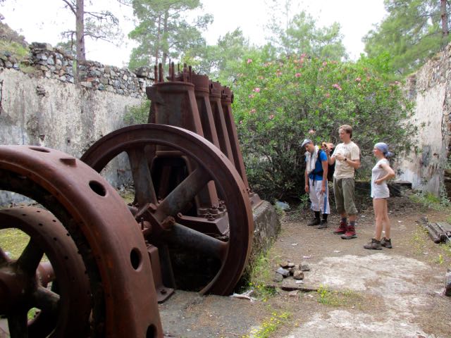
I was following a guided group from Ukraine. Here they are speculating on what this machinery was used for.
They wish they had brought less gear with them on the hike.
We enjoyed a Ukrainian / Turkish lunch. I contributed the peanut butter.
This would be their last night camping. They wanted a truly memorable beach.
Each one we passed they gave consideration. This was the winner.
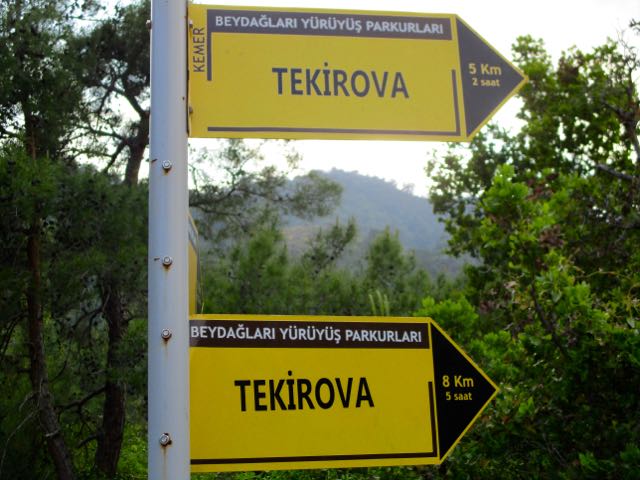
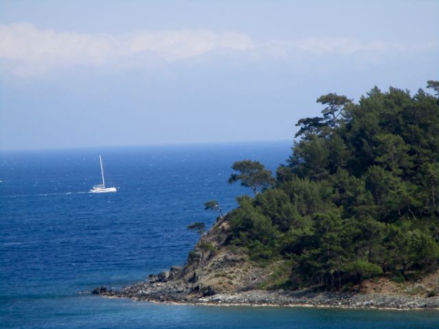
I carried on towards Tekirova.
Passing even more lovely bays.
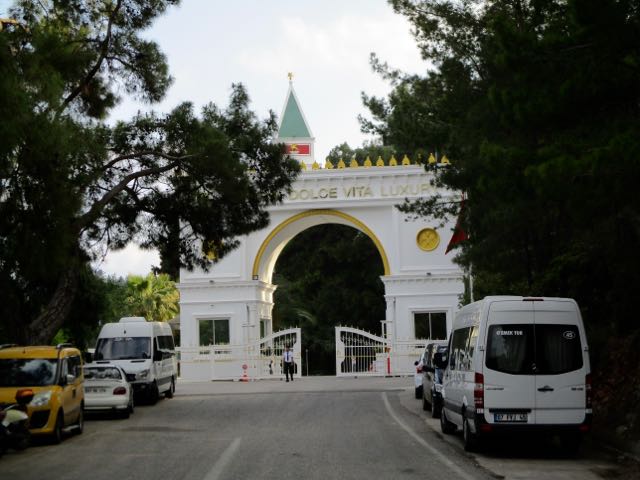
It turned out the beach in Tekirova is dominated by big all-inclusive hotels.
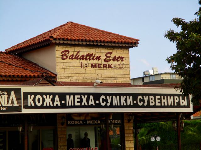
I had to find my way behind those hotels. Back street signage here often includes Russian.
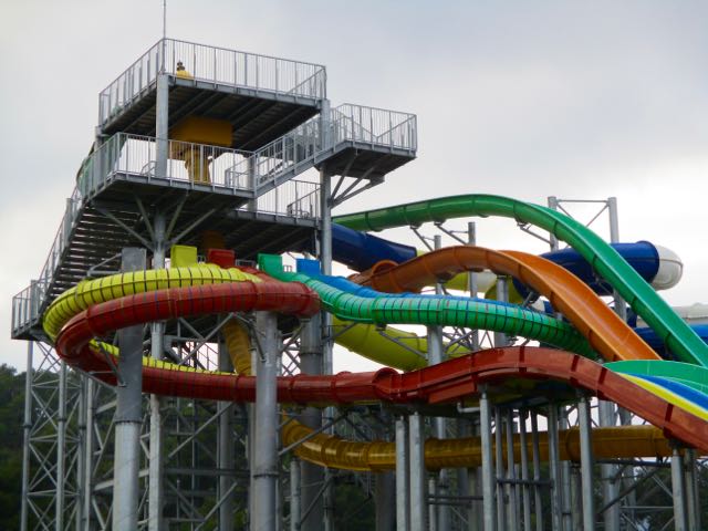
Eventually I wandered though town and reached the water park. I knew I could intersect with the trail here.
I was quickly back out into farmland.
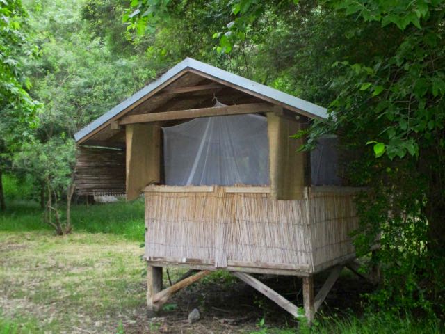
Sundance is something of a Hippy colony.
I considered booking into one of their cottages.
But during my arrival everyone was dancing together. Seems 7-8pm is mandatory dance. My feet were too sore for that.
I continued on to a quiet beach I’d read about in a trip report. Setting up at dusk.
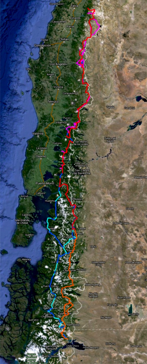
The Greater Patagonian is not an official trail but rather 1500km or more of connected best routes. You’ll be lost for sure unless you have KMZ and GPX files downloaded from wikiexplora.
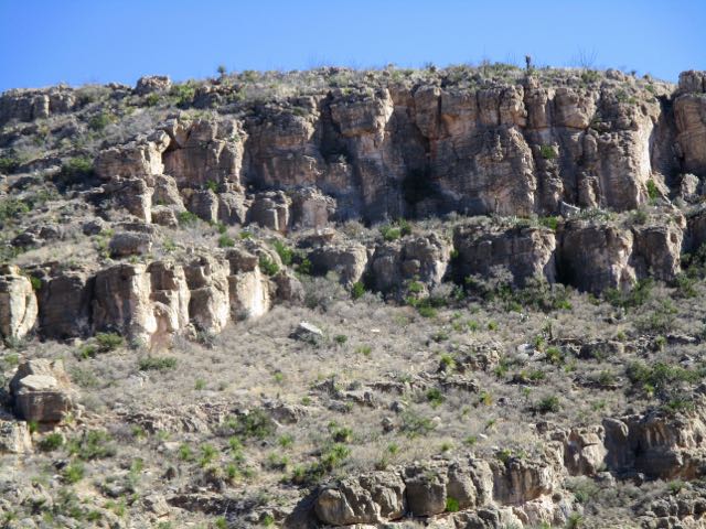
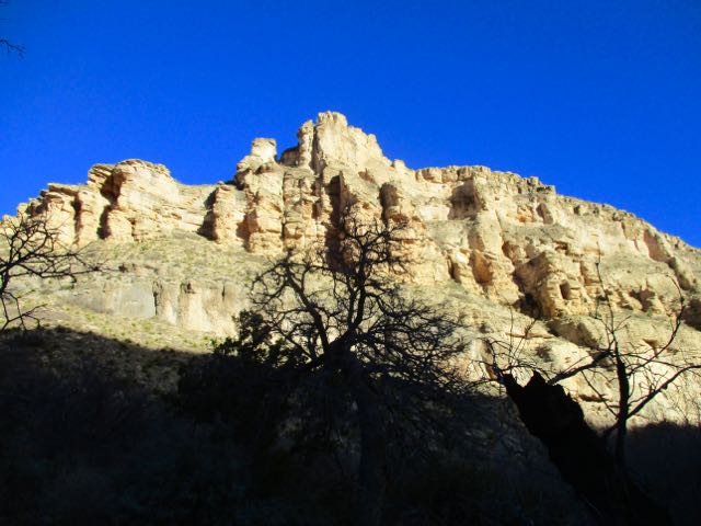
Story goes that ranchers in 1881 got lost in the deserts. Had no water. With their horses failing they spotted the limestone walls of one more canyon. This would be their last chance.
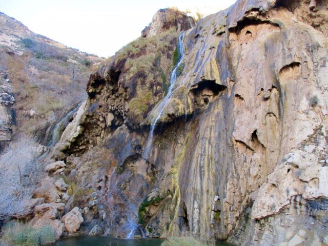
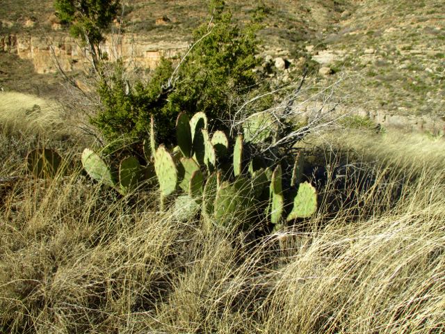
My guidebook author called this “one of my favourite spots in all of New Mexico”.
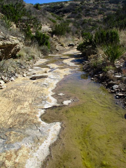
It has plenty of water year round. A rarity in this part of the world.
I started late in the afternoon as it was only 2.7 miles to the recommended campsites.
The light gorgeous.
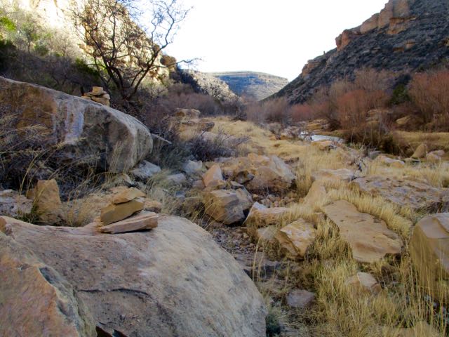
Here’s that water that saved the ranchers.
Obviously this canyon floods at times.
I checked out the campsites. Too exposed. It was very, very windy.
Instead I hunkered down in this more sheltered spot.
Having forgotten my bear bag rope, I instead tossed my food bag up into a tree attached to a loose branch. Ingenious improvisation I thought … at the time.
The wind blew it down during the night. Happily my food stayed undisturbed lying on the ground.
Next morning I had the option to try to loop to famed Sitting Bull Falls.
But to save time I opted to backtrack from here, visiting the falls via the front door.
As you probably would guess, the Sioux medicine man Sitting Bull never visited New Mexico.
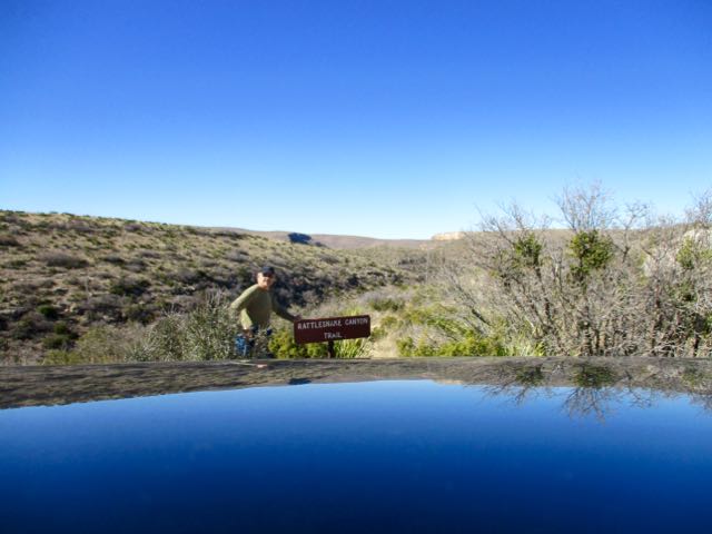
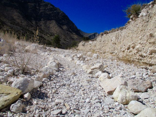
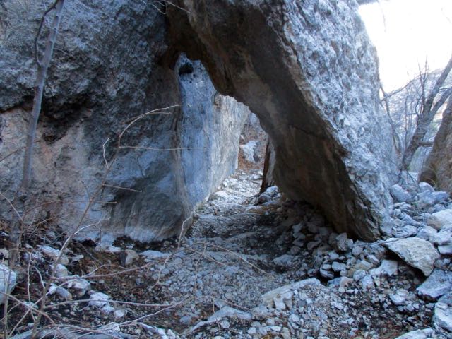
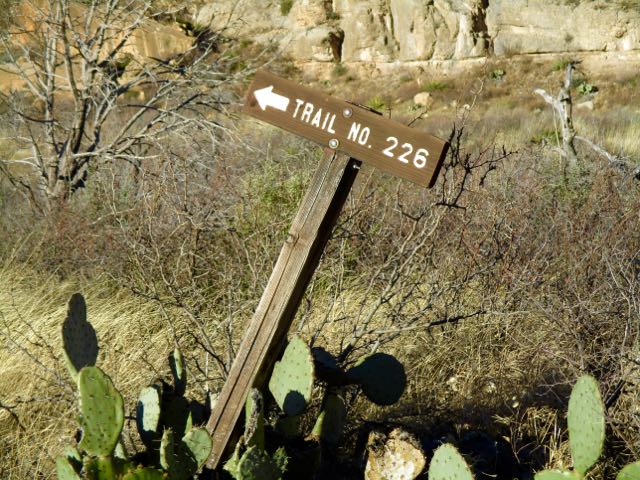
You immediately drop down into a small drainage following cairns. There’s no signage.
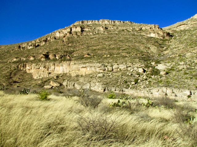
Up the other side the trail is well defined.
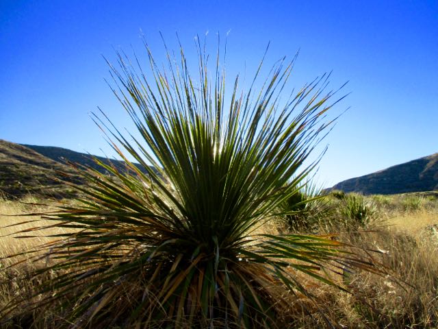
I love the desert. And it was a beautiful day … though very windy.
You can go 3 miles out, 3 miles back. Or try to loop via other canyons. Instead I went out about a mile … enjoyed some solitude … then hustled back to my vehicle.
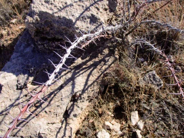
The “unfriendly vegetation” was too often snagging on my favourite hiking pants. It was difficult to avoid.
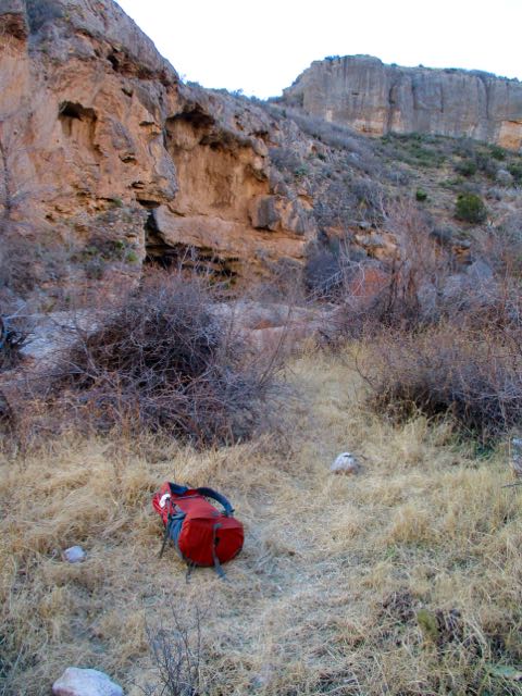
In the flat desert it’s easy to get lost. Even here close to Carlsbad Caverns and many roads. In 1999 hikers Raffi Kodikian and David Coughlin were lost in Rattlesnake Canyon. Coughlin died.
The Parks recommends a (strenuous) 6-8 hours. In a rush to finish before dark, I did it in 4.5 hours.
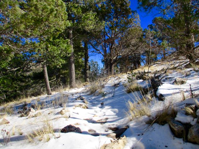
Trailhead is the Pine Springs Visitor Center. I checked in with a Ranger on trail conditions. She neglected to tell me there was a LOT of snow up in the Bowl.
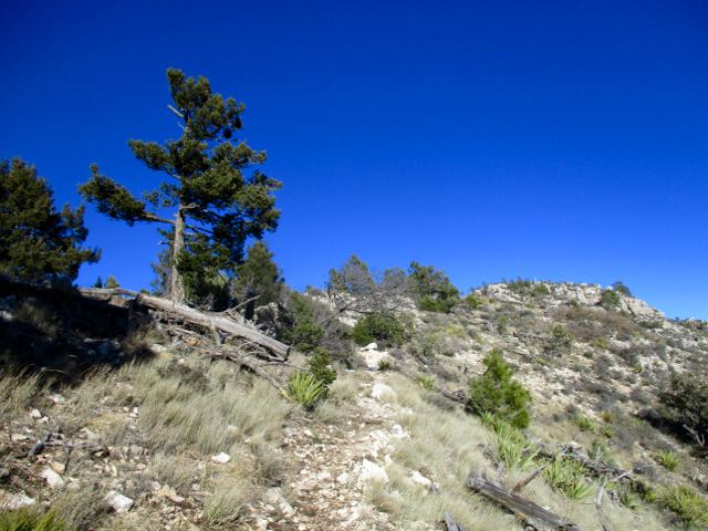
My guidebook recommended to climb up via the Tejas trail.
A very easy way gain all that altitude. Very well maintained.
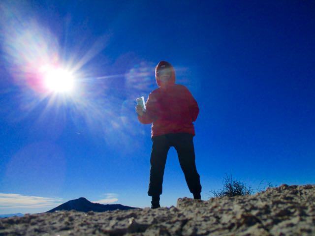
Up top in the bowl it looked like the Canadian winter I’d fled.
I met only one other hiker. She too was surprised with the snow.
It’s a different ecosystem up here.
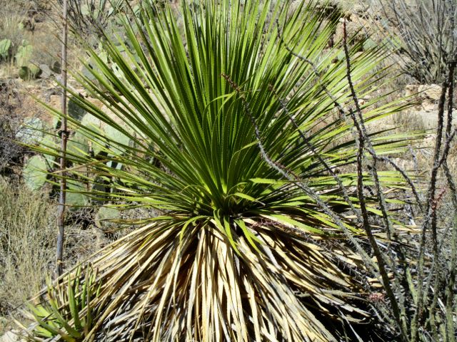
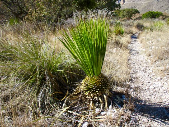
A beautiful coniferous forest of pine and Douglas fir … awaits those who are willing to hike up 2500 feet from the Chihuahuan desert below.
Close to the turnoff for Hunter’s Peak I saw a herd of mule deer. I’m not sure why they are so high this time of year.
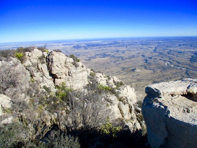
From there I needed to either backtrack. Or finish the loop.
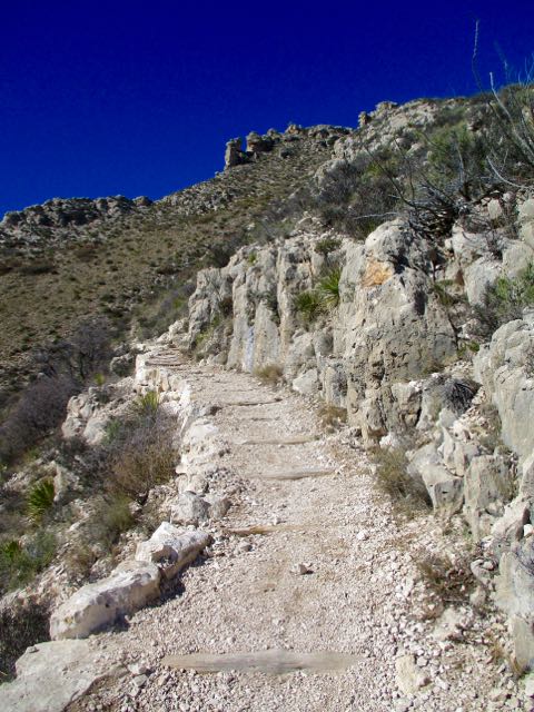
Signage in Guadalupe Mountains National Park is not nearly as good as in Big Bend. The free Parks trail map is not detailed enough to do many of the hikes it recommends. Get a better map.
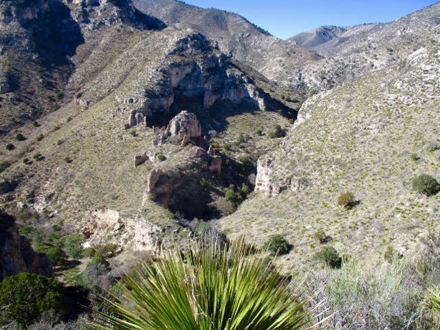
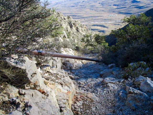
Happily I did find the sign to Bear Canyon Trail. The descent was much different — and much steeper — than how I got up.
water pipe
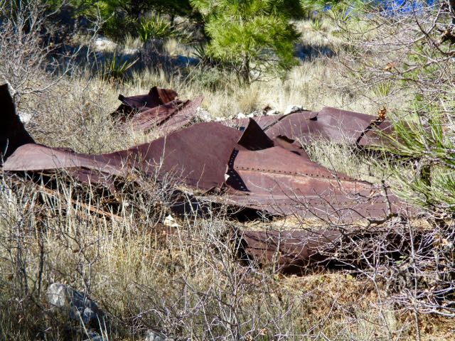
I saw some strange wreckage. An airplane crash, I assume.
It was much quicker down than up.
In fact, for most people it’s better to climb on Bear Canyon, descend on Tejas. Easier on the knees. We’ve added The Bowl to our list of best hikes in North America.

 I checked out the campsites. Too exposed. It was very, very windy.