trip report by site editor Rick McCharles
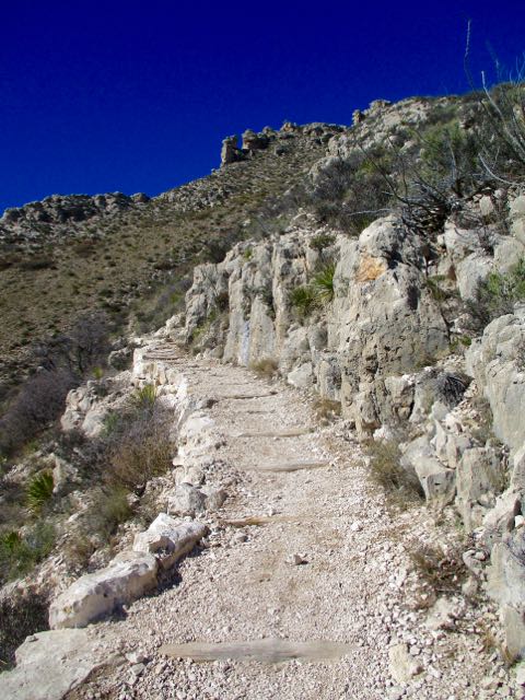
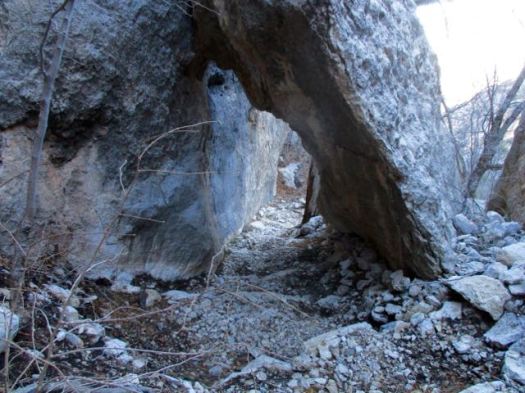
After visiting Carlsbad Caverns I dayhiked nearby Rattlesnake Canyon.

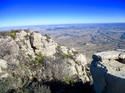
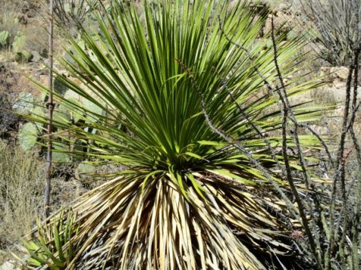
It’s well loved for Spring wildflowers and a variety of cactus. But I was there in January. Not many flowers.
You immediately drop down into a small drainage following cairns. There’s no signage.

Up the other side the trail is well defined.


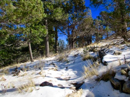
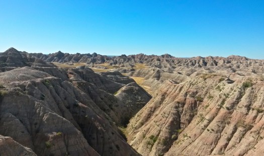
I love the desert. And it was a beautiful day … though very windy.


You can go 3 miles out, 3 miles back. Or try to loop via other canyons. Instead I went out about a mile … enjoyed some solitude … then hustled back to my vehicle.
The “unfriendly vegetation” was too often snagging on my favourite hiking pants. It was difficult to avoid.

In the flat desert it’s easy to get lost. Even here close to Carlsbad Caverns and many roads. In 1999 hikers Raffi Kodikian and David Coughlin were lost in Rattlesnake Canyon. Coughlin died.
related – trip report by 160k- Rattlesnake Canyon