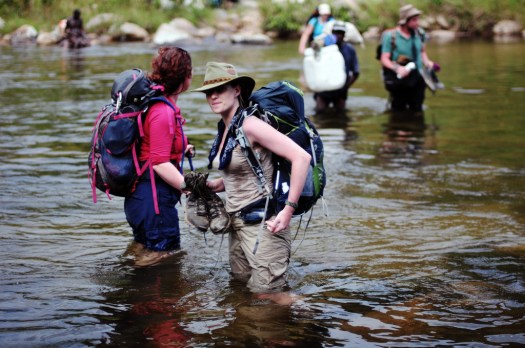
GearJunkie contributing editor Jeff Kish is hiking the 1,200-mile Pacific Northwest Trail this summer.


Check one of Jeff’s photo rich trip reports – Alone With Lions: Thru-Hiking The ‘PNT’
Thanks Kolby.


Best hikes, treks, tramps in the world.
GearJunkie contributing editor Jeff Kish is hiking the 1,200-mile Pacific Northwest Trail this summer.
Check one of Jeff’s photo rich trip reports – Alone With Lions: Thru-Hiking The ‘PNT’
Thanks Kolby.
Grizzly gets right of way.

We’ve moved and updated our Dientes information page.
The plan is simple – to be a part of the world’s first group to walk across the northern part of the island from east to west, entirely on foot, a distance of almost 400 km, in the seemingly impossible timeframe of three weeks. …
Days pass by as we trek west. We camp in rural villages – usually on patchy football fields where, night after night, hundreds of curious children and adults alike surround us, amazed at the presence of a ‘Vaza’, a white ghost – the Malagasy term for westerners. They haven’t seen many before. In fact, in this part of Madagascar, away from the tourist trail in the south, the last foreigners that have entered the foothills of the Tsaratanana were the French army in the late 1940s and occasional mineral prospectors in the 1970s. …
At exactly the half way point of the journey, after almost two hundred kilometers of uphill slogging, we reach the summit of Maromokotro, Madagascar’s highest mountain. …
read more – Adventure Travel: Madagascar
(via Hiking in Finland)
trip report by site editor Rick McCharles
8.2 miles round trip
In 1792, as Captain George Vancouver was exploring the Puget Sound, he named a large, protected bay Port Townshend. The h was eventually dropped.
One of the most hiked summits in the Olympics, and it’s easy to see why this peak is so popular. Easy access, a long hiking season, and unparalleled views of Puget Sound and the eastern half of the Olympics give Mount Townsend quite an edge. Of the three trails leading to its summit, Trail No. 839 is the route most taken. …
Most hikers intent on reaching the 6280-foot open summit opt to begin their journey from the upper trailhead. This saves 1.2 miles and 600 feet of elevation gain, but at the expense of missing a beautiful old-growth forest and Sink Lake, a small body of water that causes tumbling Townsend Creek to disappear. …
I did start from the upper trailhead. 4 miles at an angle of about 20 degrees was challenging enough.

Perfect weather, the only surprise were solo tent caterpillars dangling down across the trail at lower elevations.
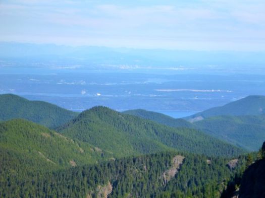
It took longer than expected to clear the tress and get to the gorgeous views.

Up top, late in the afternoon, it was just me and these guys. 🙂

I decided to go for a scramble down this ridge, eventually having to retrace my steps.

Somewhere on that ridge, I left a Summit Stone.
I didn’t get back to the parking lot until 7:30pm, much later than I had expected. My trail running down hill was not all that speedy.
• map
• another trip report – Mount Townsend Trail #839
Don’t get me wrong. I liked Acadia National Park in Maine. But as a hiking destination, you can do better.
Why?
On the bright side, there’s no need to hike to and from your vehicle. Using the free Park bus shuttle opens up all sorts of interesting options.
And the trails are good. The views excellent.
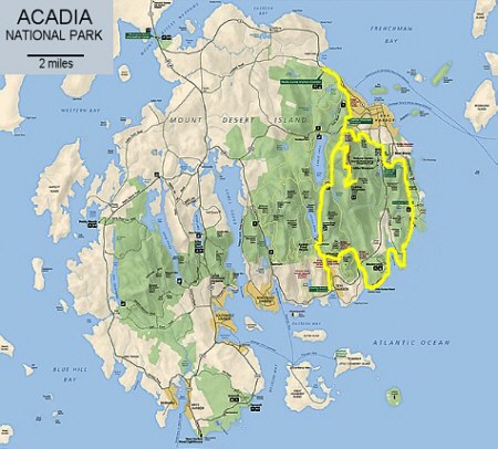
I spent only 2 days in Acadia. Then set off for Mt Washington, New Hampshire.
… But if I went back to Acadia, I’d plan to mountain bike the Carriage Roads rather than hike.
Section Hiker likes the Bear Boxer – Contender Model 101.

I’m still using a clear BEARVAULT BV500. An Ursack. Or no bear vault at all, depending on where I’m hiking. And for how long.
Leave a comment if you have a favourite.
Northern Alberta.
A 36-year-old Suncor worker was coming out of a washroom Wednesday afternoon when a black bear attacked and killed her, as several co-workers tried to intervene and scare the animal away.
Family have identified the worker killed at the oilsands site near Fort McMurray as Lorna Weafer, an instrument technician. …
Seven people were working in a group area when the bear attacked the woman and dragged her off …
… co-workers blasted air horns to scare the male bear away. They were not carrying bear spray, Suncor said. …
“We don’t know why this happened and that’s why it’s so important we conduct a full investigation,” Seetal said.
A bear response team made up of Fish and Wildlife officers is investigating, and Occupational Health and Safety will also complete an investigation. …
Co-workers tried to save woman during fatal bear attack at Suncor site
Bears normally do not attack groups of people. Sounds like she was alone exiting the washroom.
This is the third work fatality in four months at the Suncor site.
Bears aren’t the only problem up there. 😦
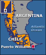
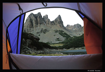
Dientes de Navarino are a mountain range in Navarino Island, Chile, located just south of Puerto Williams, along the Beagle Channel coast.
The Dientes Circuit is recommended as one of the best hikes in the world.
Also known as:
* Isla Navarino Circuit
* Circuito Dientes de Navarino
* the teeth of Navarino
Charming, entertaining and original, be sure to watch this video trip report by rlciq from Brazil before heading to Patagonia for the Teeth of the Navarino.
This is the true last trek on earth! High mountain on low altitude. Few people. Lots of beavers. Amazing landscapes. No fee. Perfect balance between challenging and fun!
Click PLAY or watch part 1 on Vimeo.
Click PLAY or watch part 2 on Vimeo.
Check out Dientes information page.
Trip report by site editor Rick McCharles.
Easy day. Only 12km to finish the Giant’s Cup Trail at Bushman’s Nek Hut.
I departed Swiman hut late.
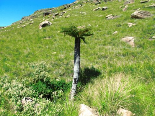
Glorious. Glorious.
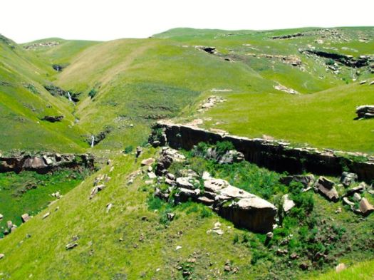
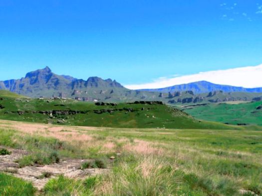
Skies were clear. The landscape empty aside from me. And THIS GUY.
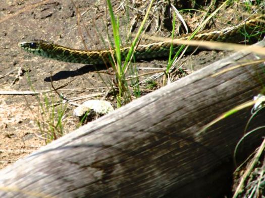
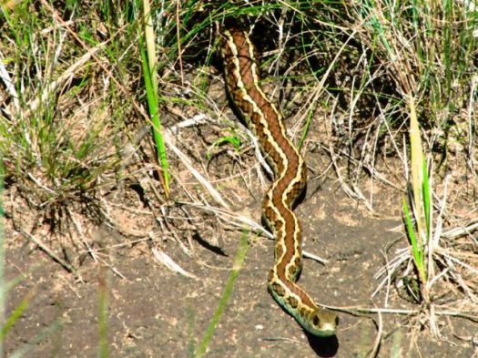
I later did some research … but couldn’t confirm the species. Leave a comment if you know.
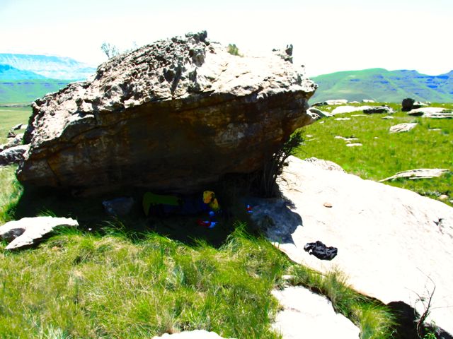
Again, each time I got saw some significant shade, I cooled off.
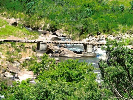
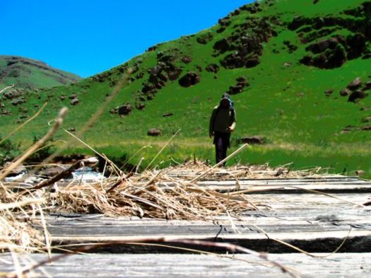
This crude wooden bridge had obviously flooded recently.
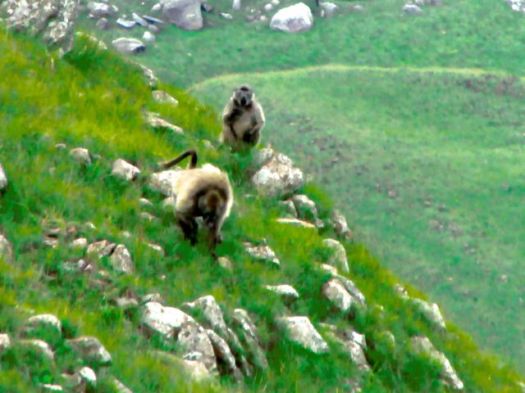
BABOONS!
This afternoon I saw 4-5 different troops of Baboons in the distance.
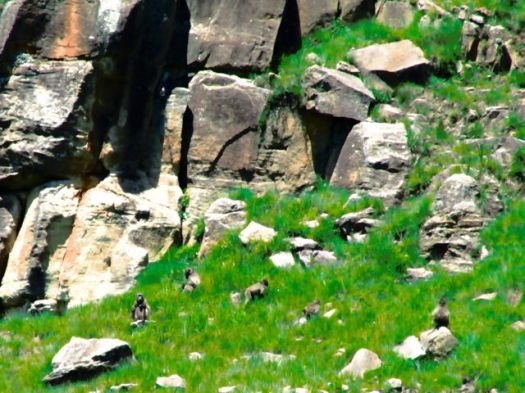
This was my best photo.
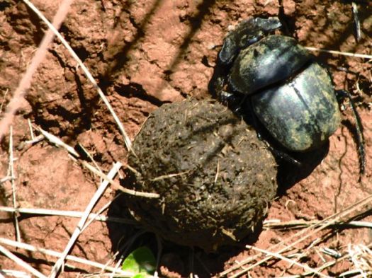
DUNG BEETLE! … Actually, there are plenty of Dung beetles on this trail.
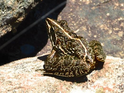
Frog.
I had great views of a big herd of Eland.
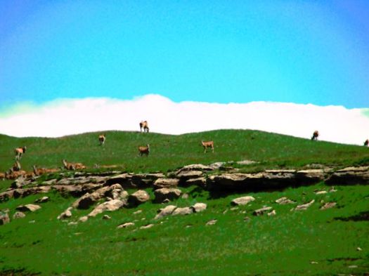
And again saw grey rhebok.
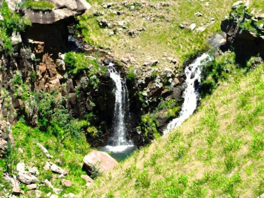
South Africa is a hot, dry country. But there’s no shortage of water in the Drakensberg during the rainy season.
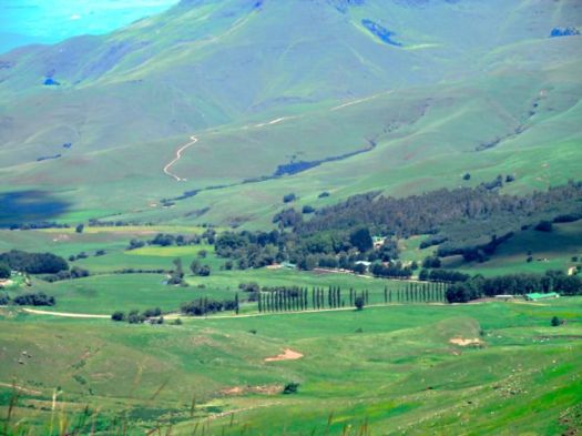
Civilization.
I’d held on to a Summit Stone for the entire trip, waiting on some “highlight” of the Giant’s Cups Trail.
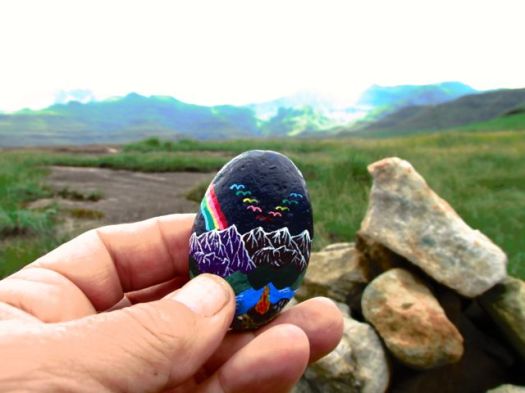 But there was no one highlight. The Giant’s Cup is all good. I left this one in the final cairn before dropping down to Bushman’s Nek.
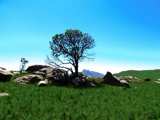
I saw a sign pointing to Bushman’s Nek hut, but ignored it as the trail looked faint.
Instead I stayed on the trail more trodden.
Turned out that took me to the KZN Wildlife office. I had to backtrack about 1km in the rain.
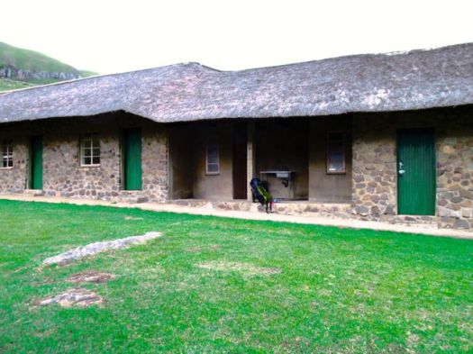
Alone again. Bushman’s Nek hut is in a very pretty location.
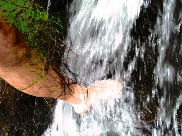
It was nice to wash my dusty, hot feed in the nearby waterfall.
Rather than sleep under a roof, I again set up my tent under cover. And watched the night fall.
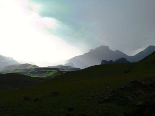
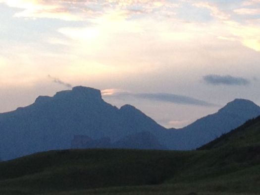
more photos from this day
___
Logistics
Next morning the KZN Wildlife office called a bush taxi from a local hotel. It took me to Underberg town for about $50 (expensive).
I was there for about 4hrs waiting for the mini-bus to Pietermaritzburg to fill. Though tourists are often advised not to take the local transport, in Underberg they are fairly used to shuttling hikers out from the Giant’s Cup.
You might consider starting at Bushman’s Nek and hiking to Sani Backpackers or Sani Pass Hotel. Travel logistics would be easier and cheaper if you don’t have your own vehicle.
If you wanted to hire a guide, I’d recommend booking through Drakensberg Adventures.
related:
• EKZ’s Giant’s Cup Trail page
• my hiking guidebook – Cicerone Walking in the Drakensberg