Camping in a remote spot — far from any other people — I took off for about 45 minutes wearing only my hiking shoes.
Nude hiking, also known as naked walking or freehiking, is a sub-category of the modern form of social nudity. More popular in Europe than anywhere else.
Personally, I didn’t particularly enjoy hiking naked. And have not yet been tempted to try it again.
But if you want to know more, there’s an article on Planet Nude that explains the benefits:
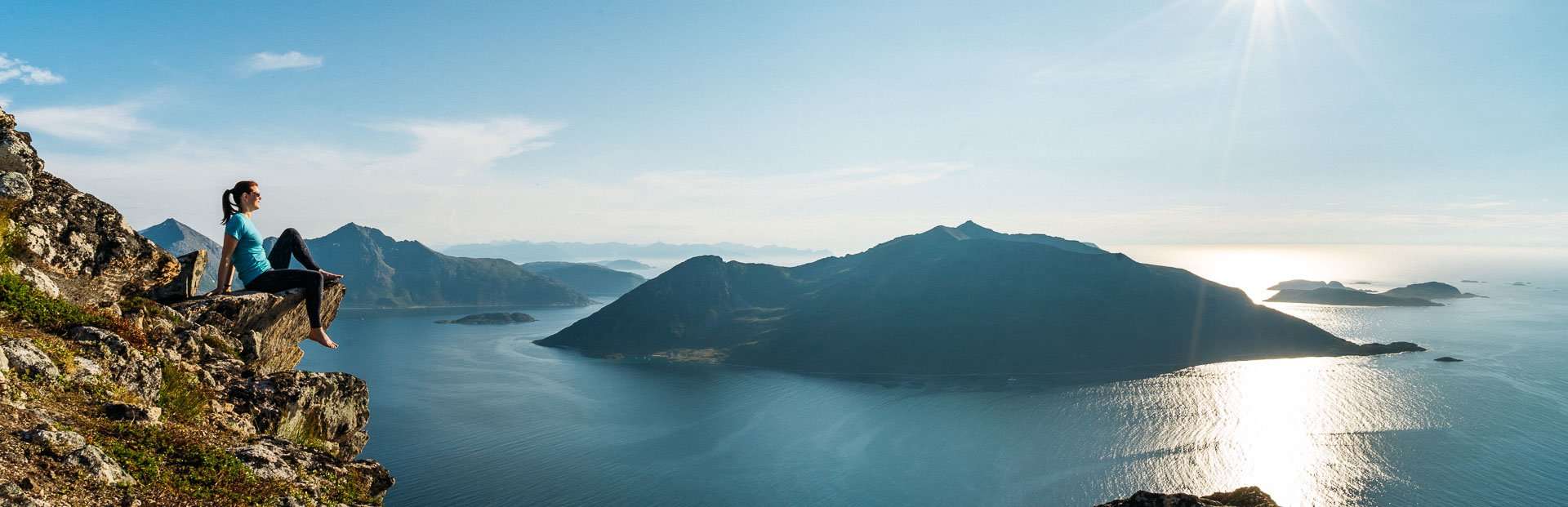
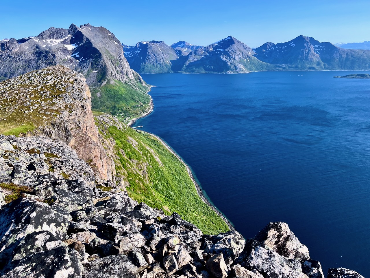
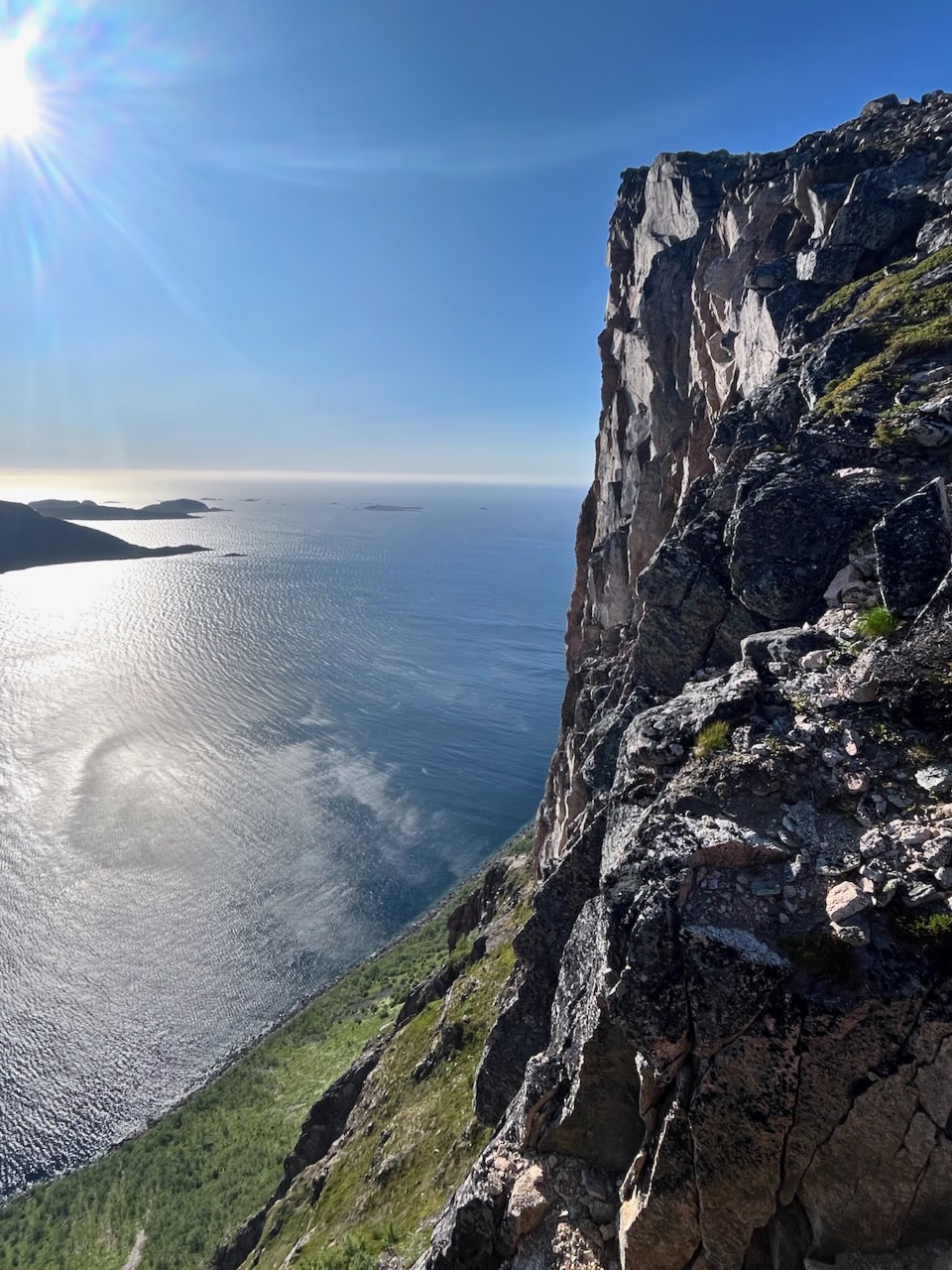
The 1-hour drive (from downtown Tromso) out to where the Brosmetind walking path starts is fantastic too.
… valleys with tall peaky mountains that go straight into the sea.
One of these fjords is Grotfjord. You should make a stop in Grotfjord and walk along the huge white-sandy beach.
You will have an awesome panoramic view from the start to finish. So if you don’t have to go all the way to the top to get a great view. You can turn around whenever you want …
Height: 525 meters above sea level
Distance to walk: 4 km both ways
Time: 1-2 hours (round-trip)
How to get there by bus: Take the district bus no. 425 to Tromvik or Rekvik, and walk from there to the starting point of the hiking path to Brosmetinden. Tell the driver that you want to hike Brosmetinden and he will let you off at the right place.
You can purchase tickets on board the bus, but cash payments only, or you can buy a ticket through the app “Troms Billett”. You can check the bus schedule HERE (search the Travel Planner from “Tromsø Prostneset” to “Rekvikvegen (Tromsø)” or through the app “Troms Reise”.
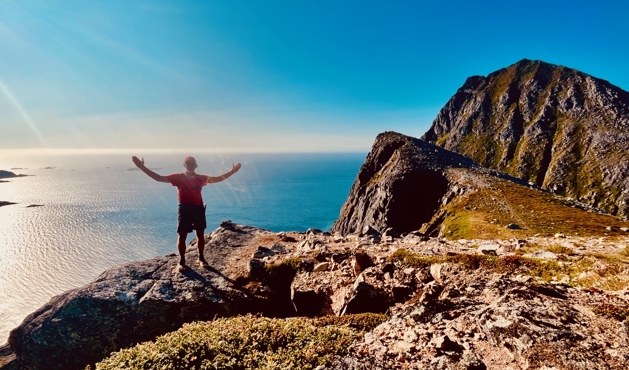
I hiked on Canada Day – July 1st. Wore my CANADA clothing. 🇨🇦
Weather was sunny — but super windy. Too windy to fly the drone. But it was nice to have enough wind to blow away the mosquitoes and horseflies.
It’s a quick hike to reach the sea cliffs. And a scenic scramble up to the top.
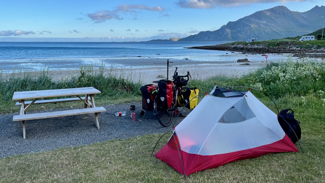
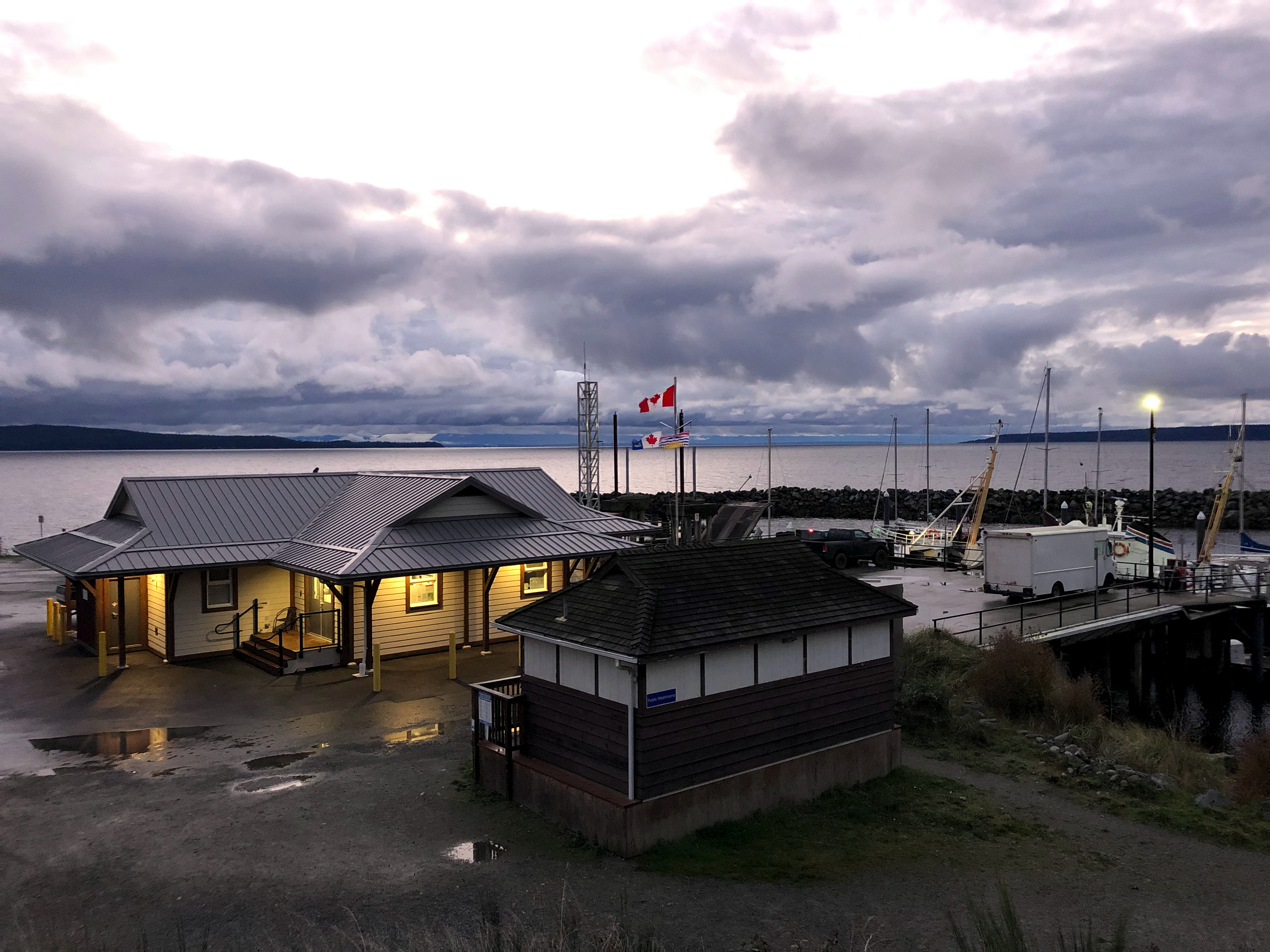
I camped at Grotfjord beach, on Maria’s recommendation.
An excellent short day hike — but quite a detour off the usual tourist route.
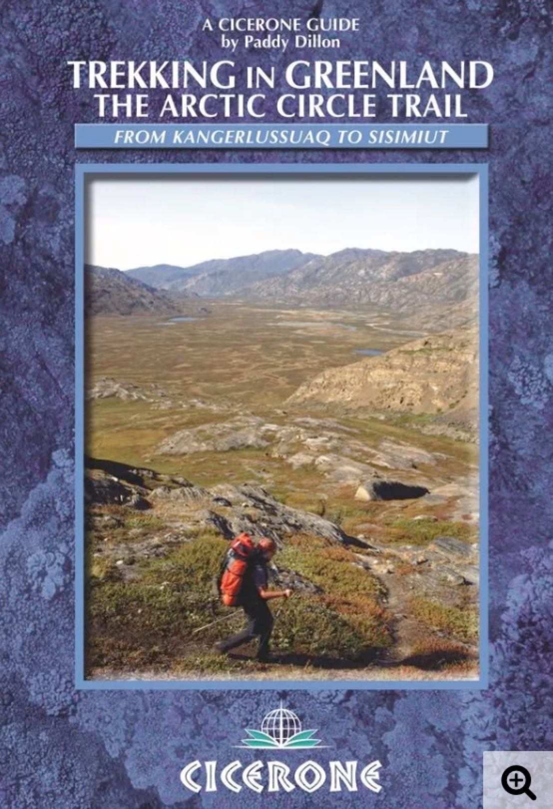
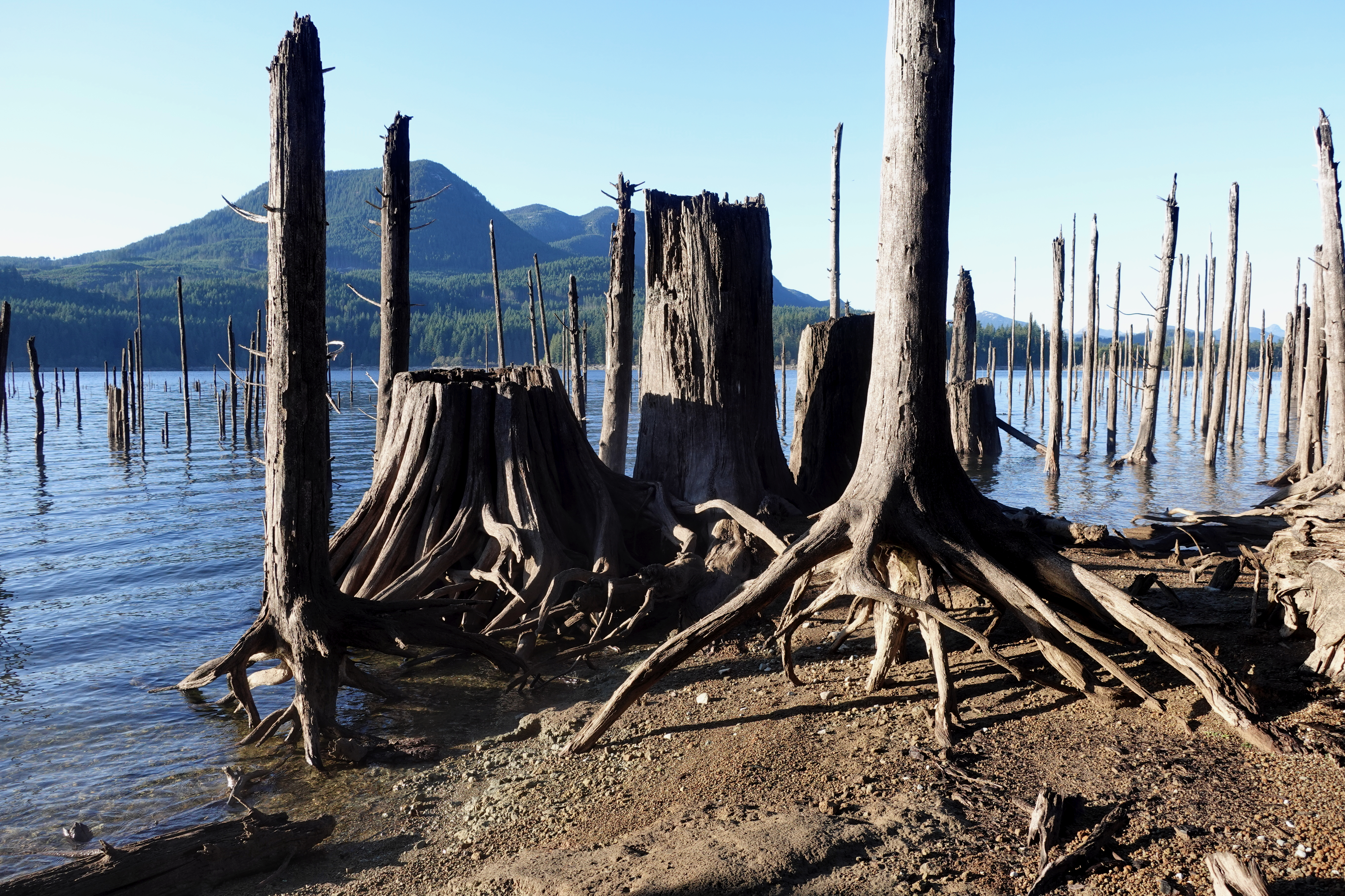
… At just over 100 miles long, and taking 7 to 10 days to complete, the Arctic Circle Trail crosses the largest ice-free patch of West Greenland.
This splendid backpacking route, lying 25-30 miles north of the Arctic Circle runs from Kangerlussuaq to Sisimiut – both with airport access.
a summer walk, ideally from mid-June to mid-September, when the tundra is bursting with life; during the long winter, snow and ice, short days and bitter cold are the norm …
What does a life driven by curiosity really look like?
In this episode of the 10Adventures Podcast, we sit down with Martyn Williams, whose extraordinary journey spans remote mountain ranges, Antarctica expeditions, teaching in the Yukon, and deep inner exploration through meditation and human potential work.
Martin shares how early experiences walking the hills of Wales sparked a lifelong connection to nature, how curiosity led him into some of the most extreme environments on Earth, and why inner exploration ultimately became just as important as physical adventure.
From pioneering expeditions to the South Pole and across Antarctica, to mentoring troubled youth through nature-based learning, to living and training in an Indian ashram, this conversation explores what happens when you keep asking, “What’s next?”
This is a wide-ranging, reflective episode about adventure, resilience, simplicity, and learning how to live with less fear — and more meaning.
Whether you’re an adventurer, a creative, or someone searching for a calmer and more intentional way of living, this episode offers powerful insights into human potential and the art of exploration — both outer and inner.
🎙️ Listen now and be inspired to ask better questions, take small steps, and follow your curiosity
👉 To learn more, visit:
https://martynwilliams.ca/
Check out our 10Adventures survey: https://survey.zohopublic.com/zs/YMBBrI
About Us 🌍
10Adventures 🌟 was founded with one goal in mind: to make active travel accessible, promoting mental and physical well-being. 🚶♀️🚴 Our mission is to eliminate the stress of holiday planning, allowing you to focus on the excitement of your journey. We offer seamless trip coordination, handling accommodations, meals, transfers, and guides 🗺️ through our network of vetted local tour operators in over 80 countries. For those who prefer a lighter load, we arrange luggage transfers, ensuring a stress-free biking or hiking experience. 🧳🌄
Specializing in private and personalized travel experiences, our team 🧑💼🌐 is dedicated to tailoring trips to your preferences. We understand that travel is more than just a trip; it's an opportunity to build stronger relationships and create lasting memories. As fellow active travelers, we provide genuine, human support to ensure your journey with 10Adventures is as unique and fulfilling as possible. 🤝✨
To learn more, visit https://www.10adventures.com/ 🌐
Or contact us at https://www.10adventures.com/contact/
Pestered by wasps and other biting insects on those two earlier trips, I deliberately returned late season. No bugs.
This time I headed for the Troubridge Trudge section:
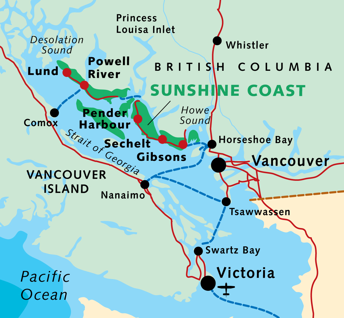
Oct 24 – Lang Bay to Golden Stanley hut (km 145) Oct 25 – Golden Stanley to Mt Troubridge hut (km 158) Oct 26 – Troubridge to Fairview Bay hut (km 173) Oct 27 – Fairview to Lang Bay (km 180)
You can hike 42km in either direction. It’s called the trudge as this is the highest section of the Sunshine Coast Trail.
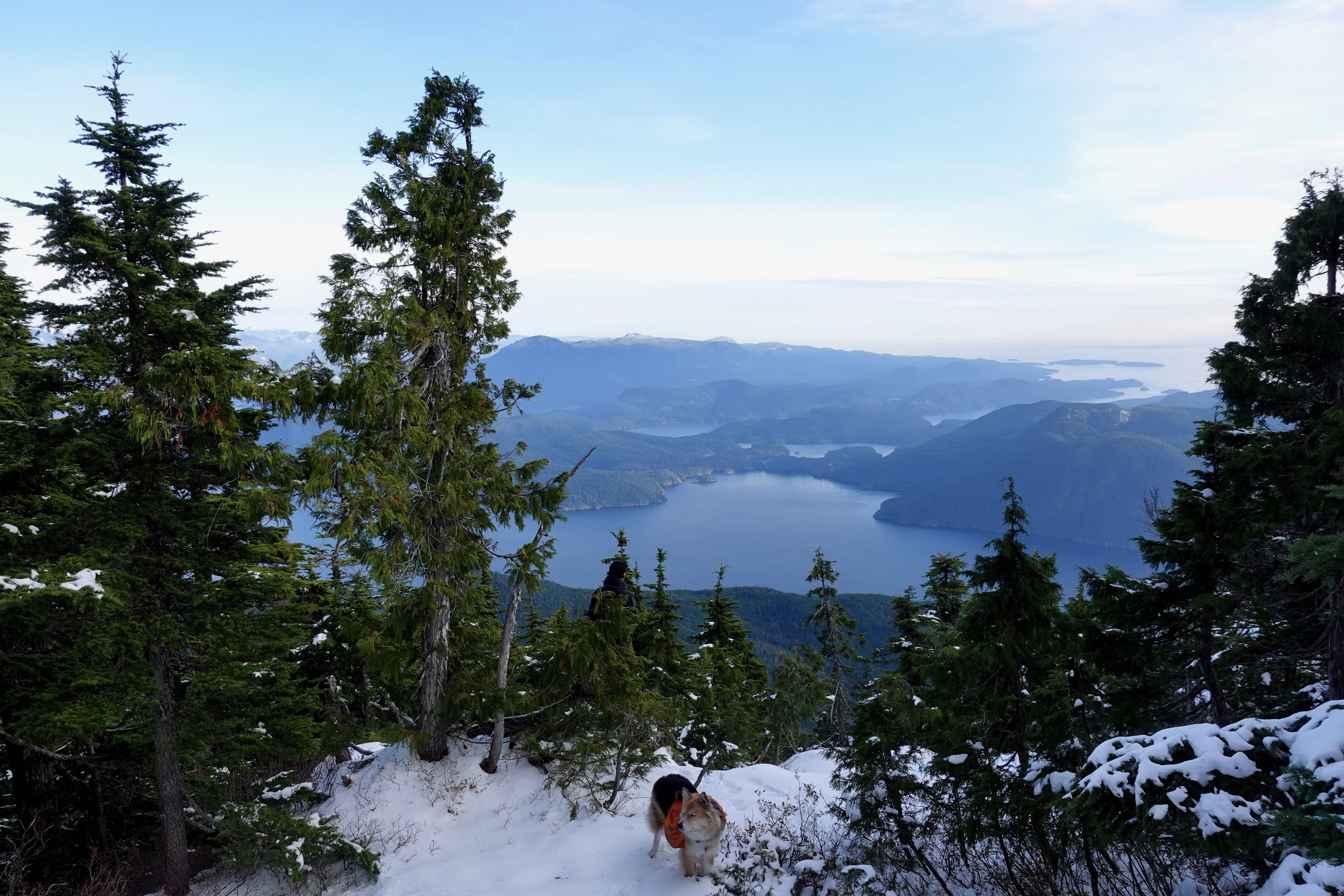
I assumed I’d have Troubridge hut to myself again when Chris and his dog arrived. Rather than sharing a small space, Chris took the A-frame. I stayed in the hut on my own.
He had the views of Jervis inlet and could see all the way to Powell River.
Turns out winter camping is quite comfortable — when you can sleep in a hut rather than a tent.
I took plenty of winter wonderland video. And later managed to accidentally delete most of it. Somehow. 😕
Oct 26 – Troubridge to Fairview Bay hut (km 173)
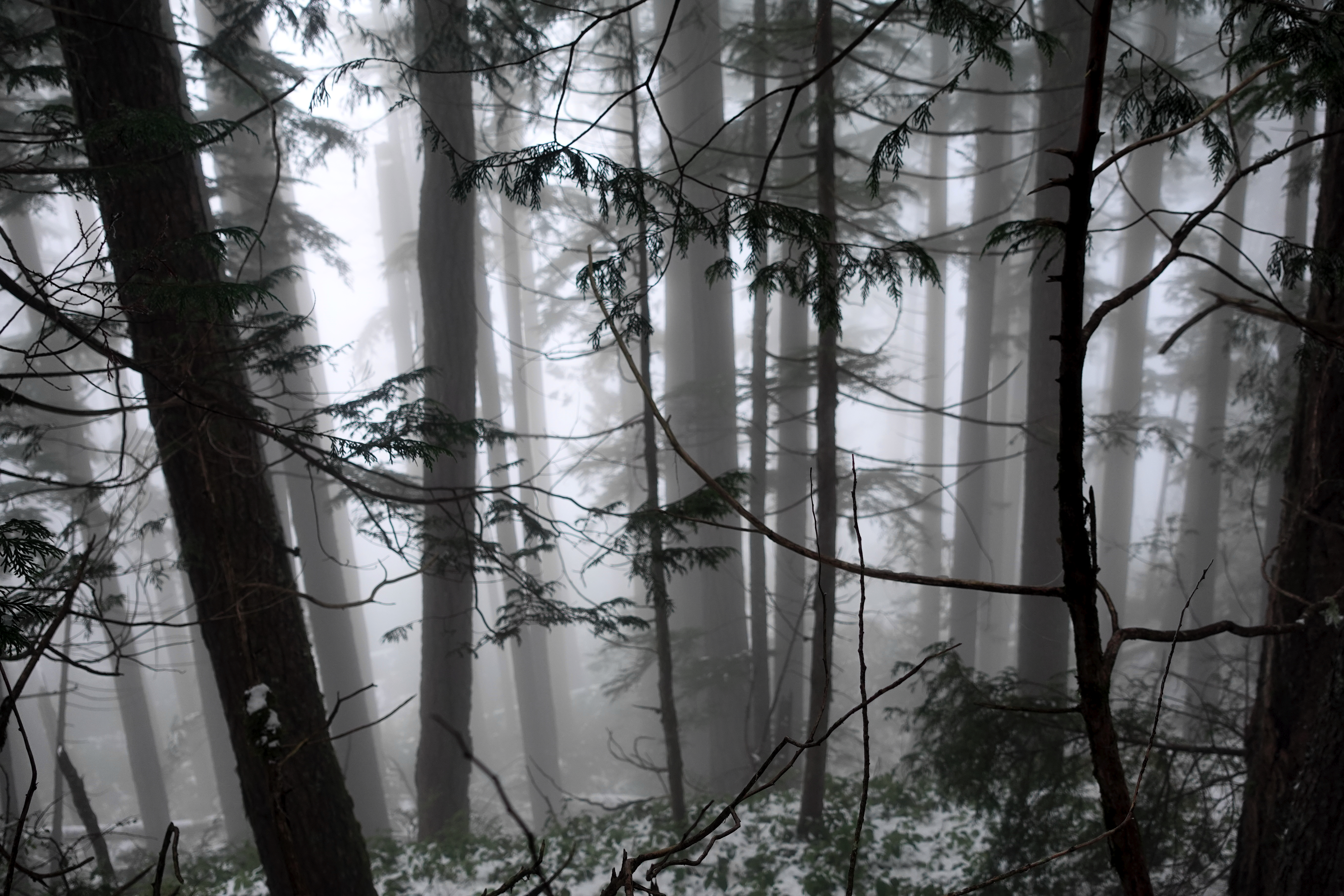
More good weather. I was worried the descent might be slippery, but new snow was mostly grippy. No problems in approach shoes.
Navigation no problem in winter either.
I stopped 800m lower for lunch at Rainy Day lake (km 169) which has a hut.
Winter hiking is much different than doing the same thing in summer.
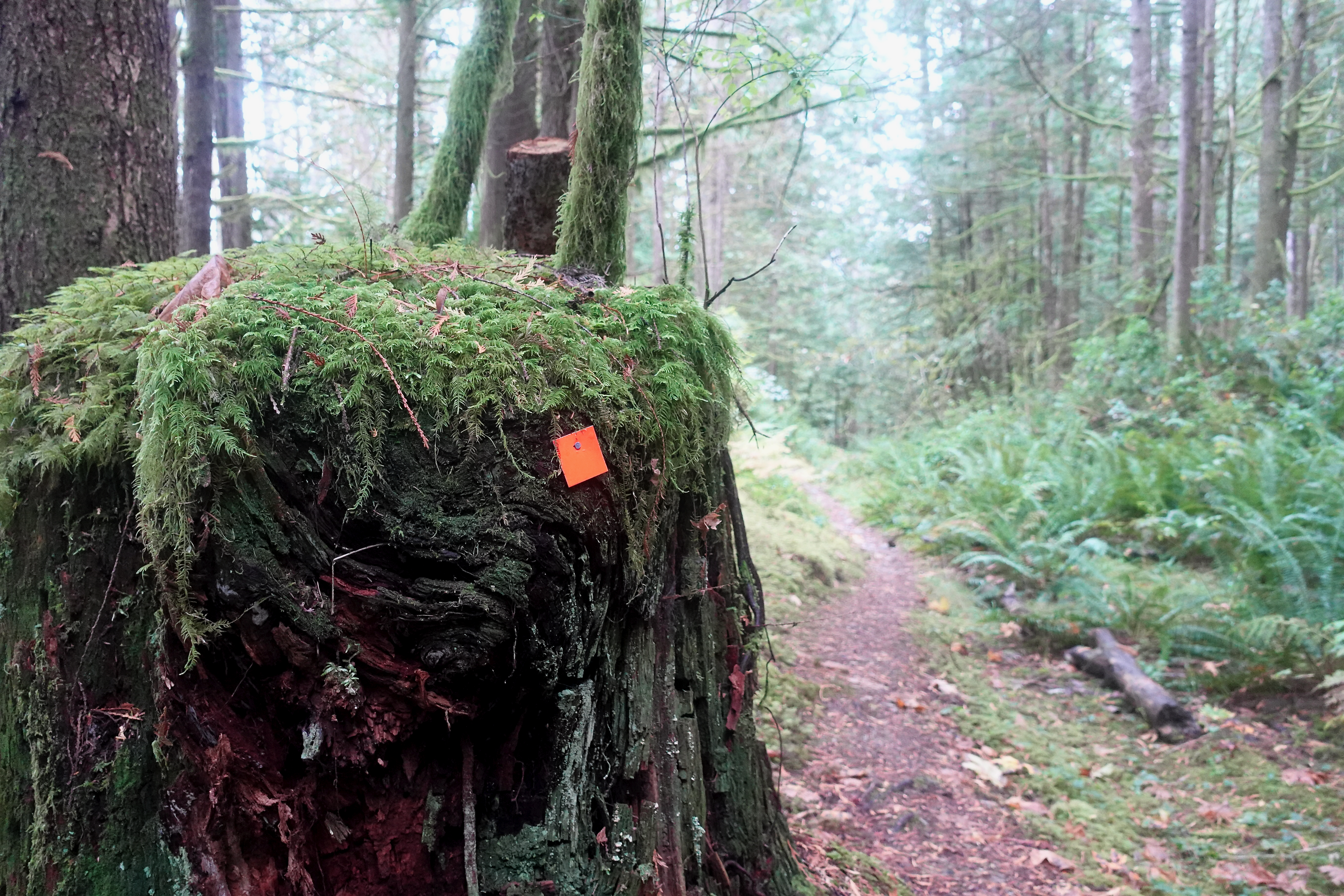
Eventually snow disappeared. Went away. Like magic. 😀